PVT: Plott Road West


Paulinskill Valley Trail: Plotts Road West (11/4/2017)

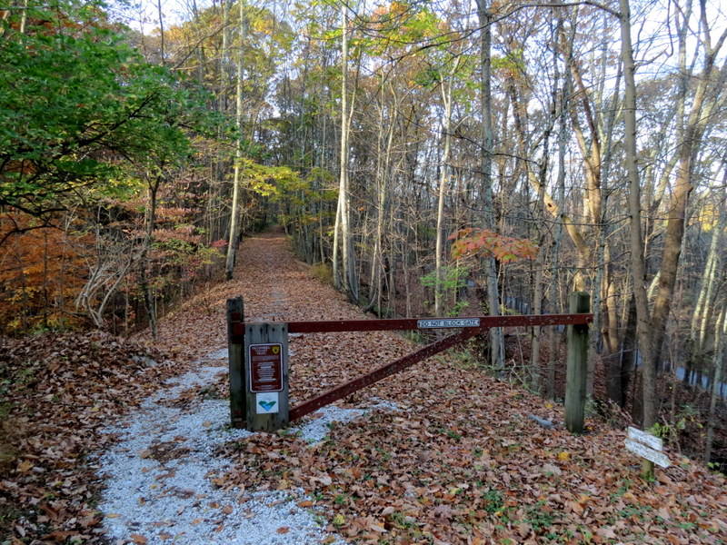
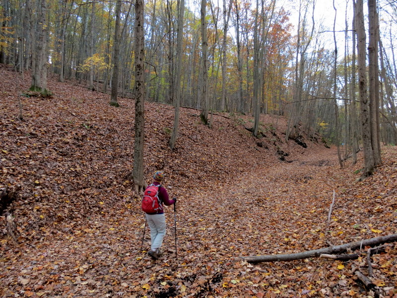
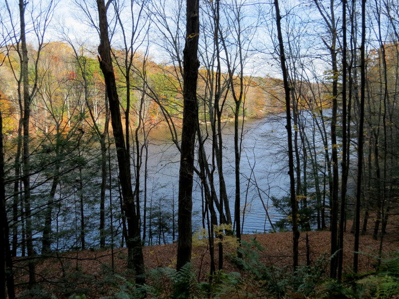
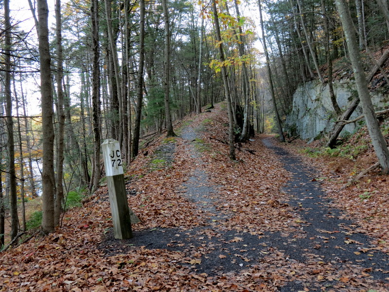
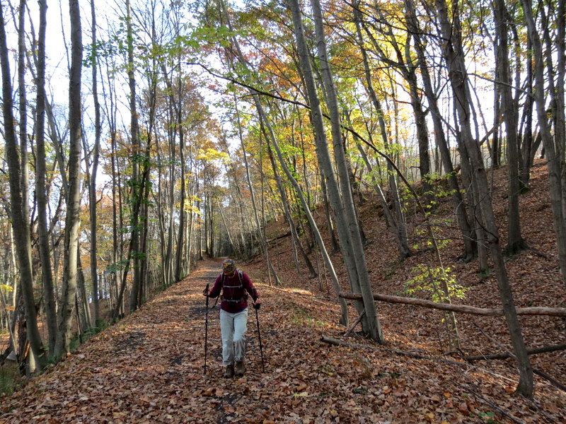
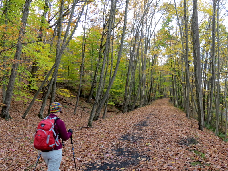
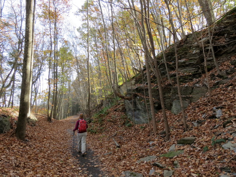
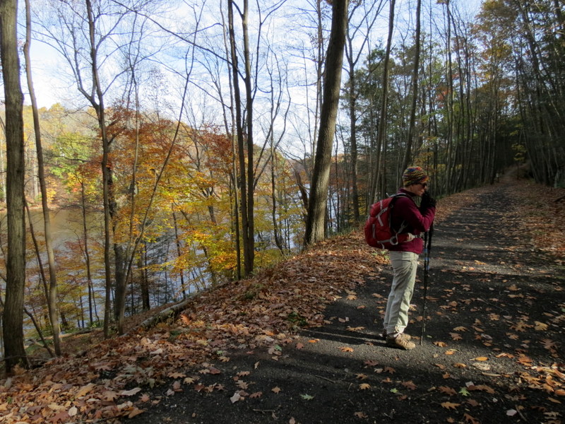
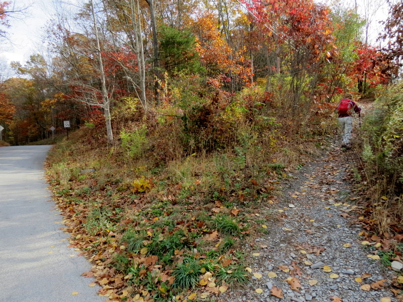
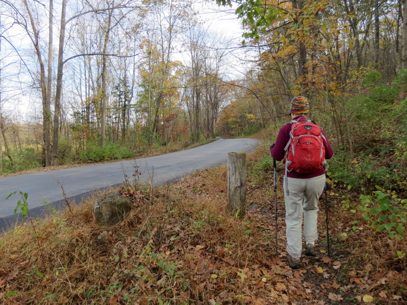
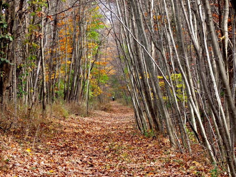
The last time we hiked the Paulinskill Valley Trail was almost two years ago. At that time, I stated in the hike description that with that segment we had hiked the entire 30-mile rail trail except for the 2.5-mile segment south of Plotts Road. 
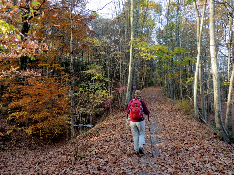
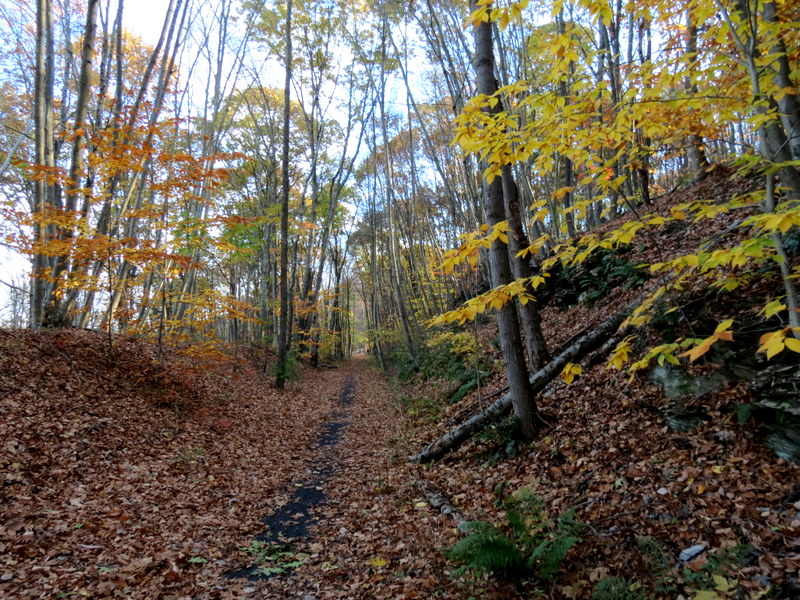
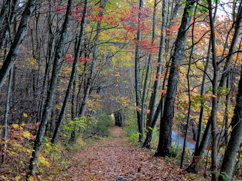
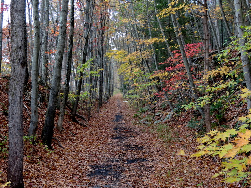
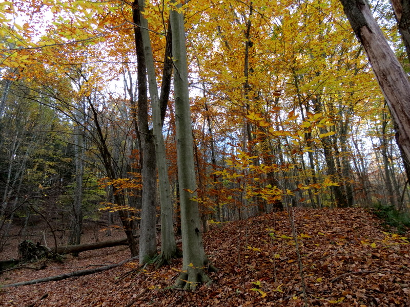
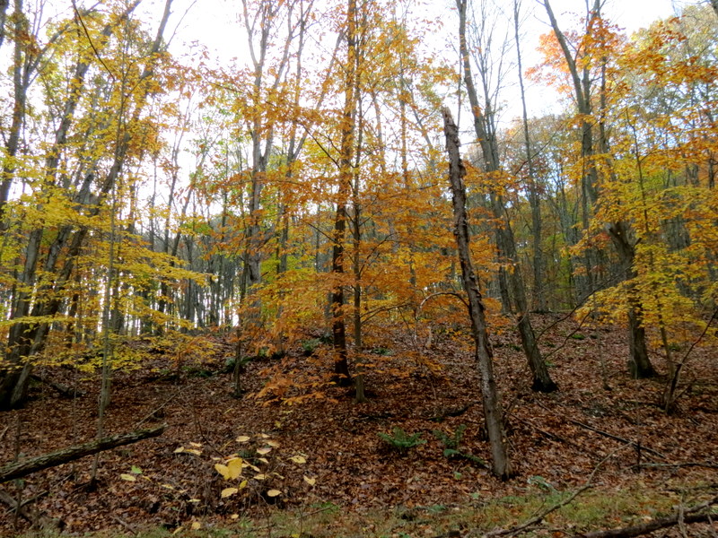
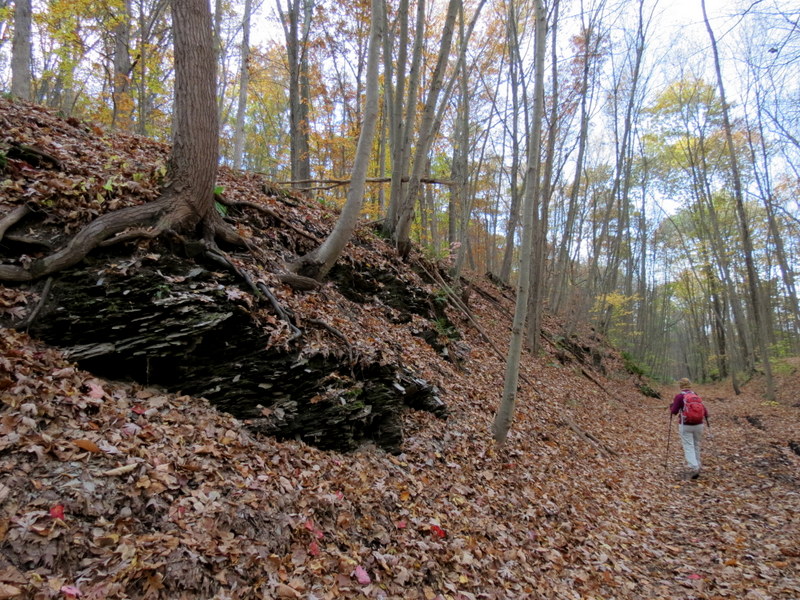
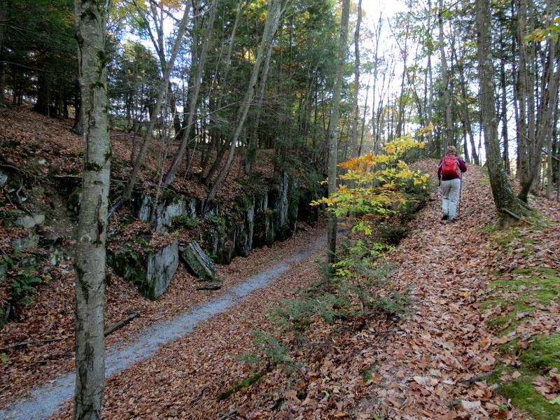
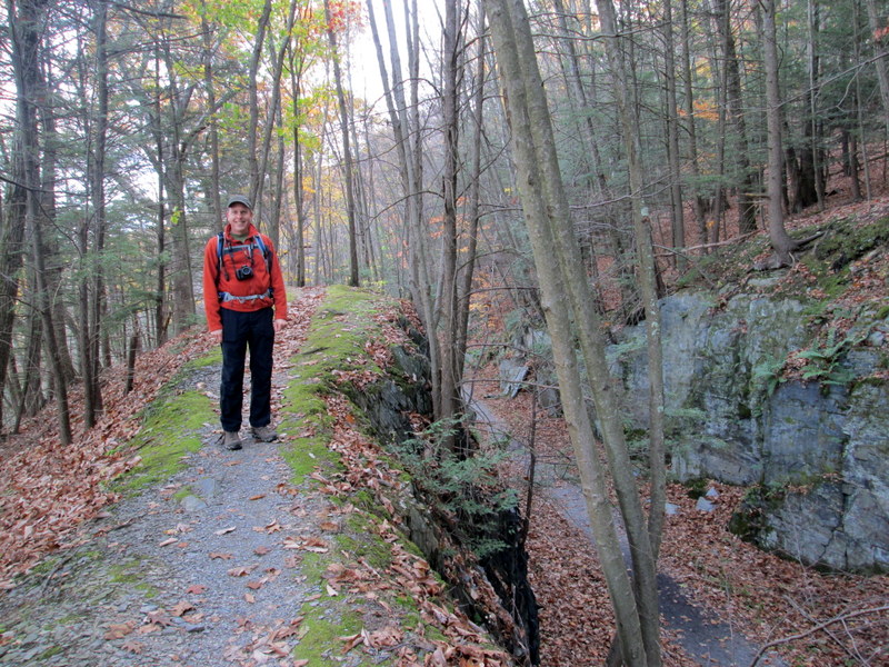
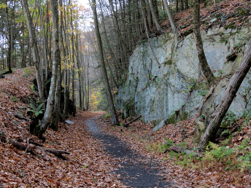
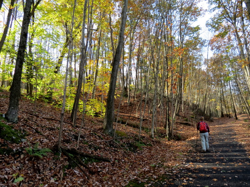
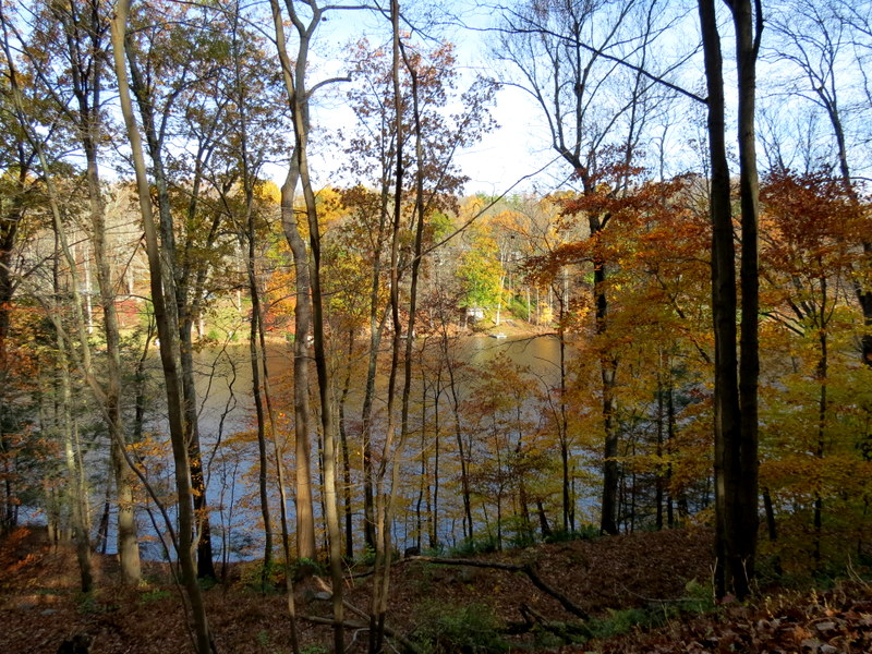
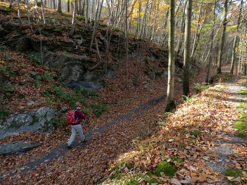
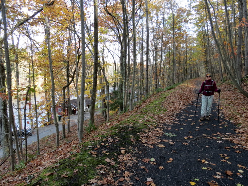
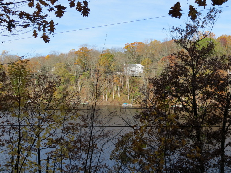
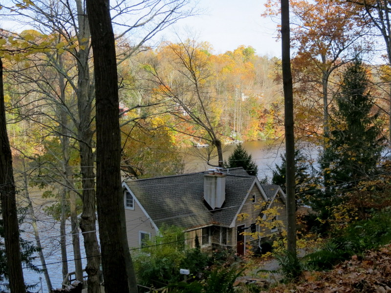
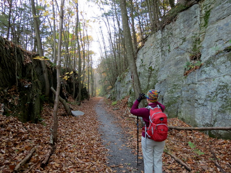
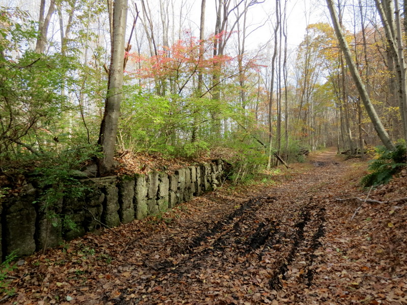
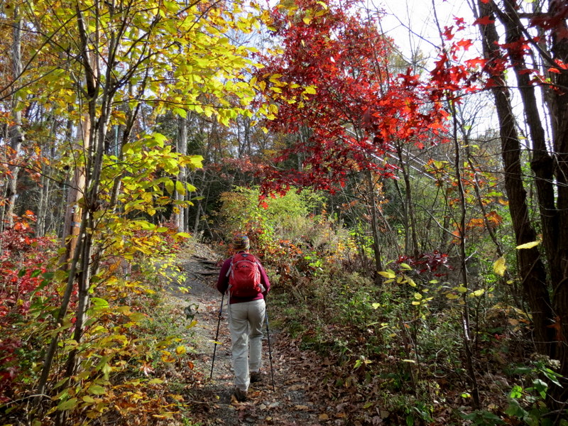
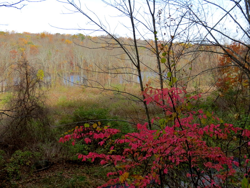
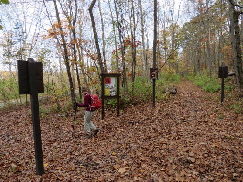
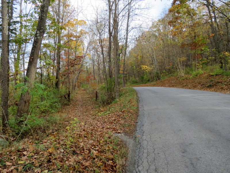
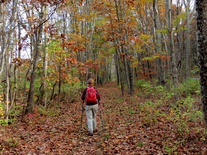
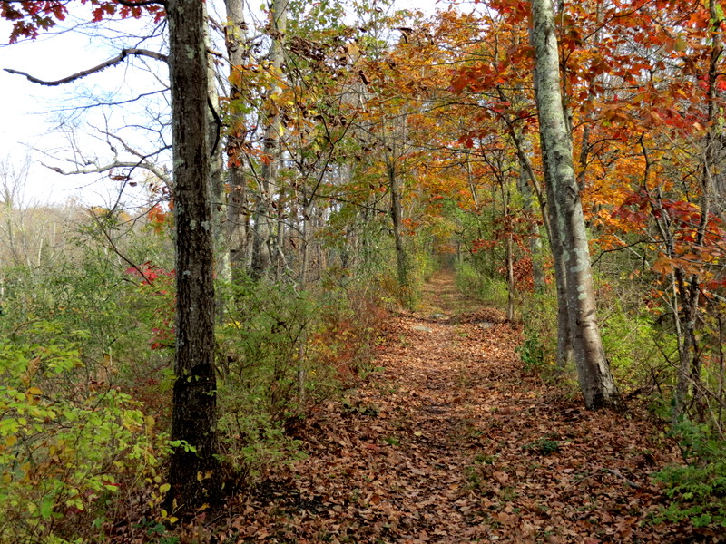
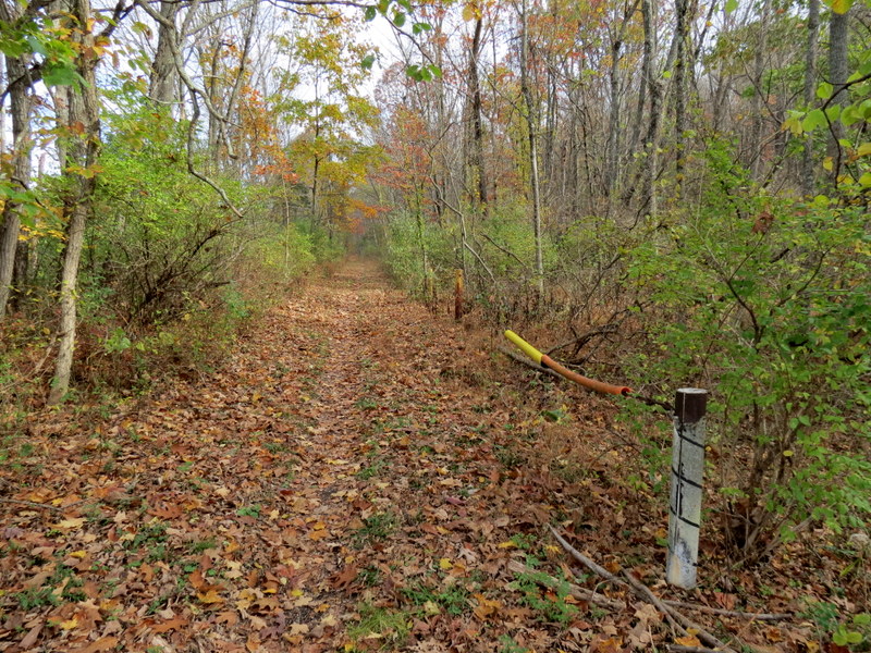
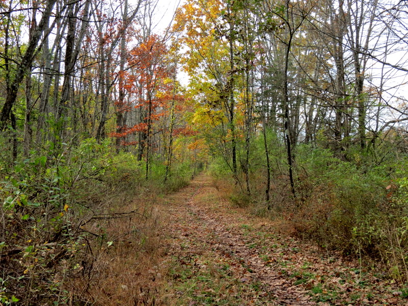
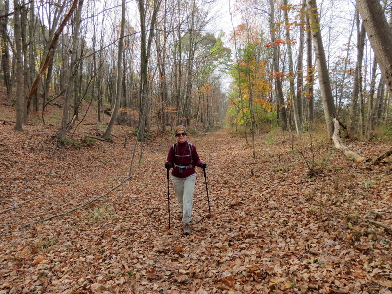
Well, today we returned and we completed the PVT! We hiked that last part, finally completing the entire rail trail. The fall foilage was high today and we were delighted 
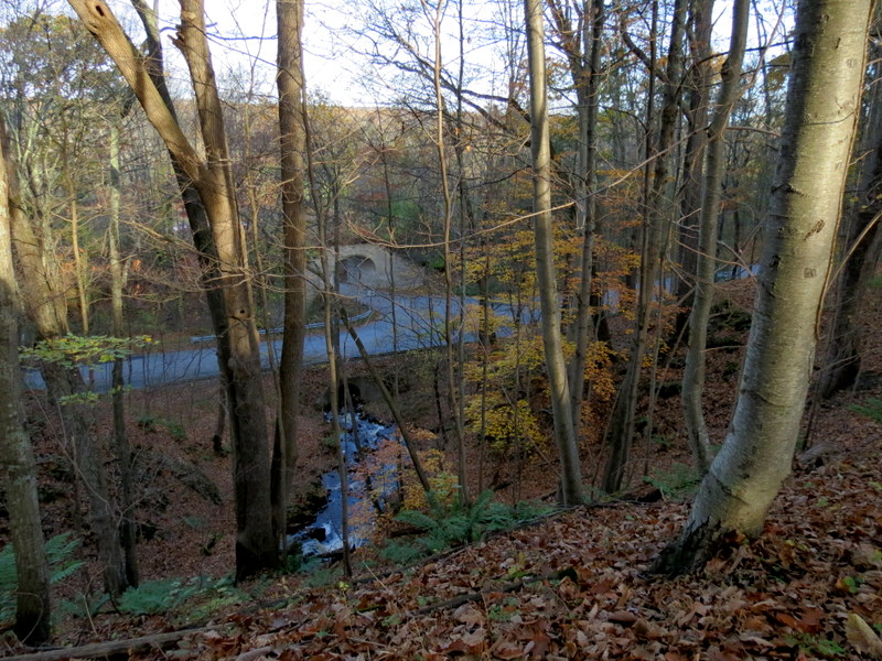
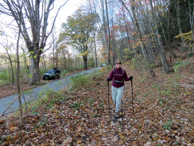
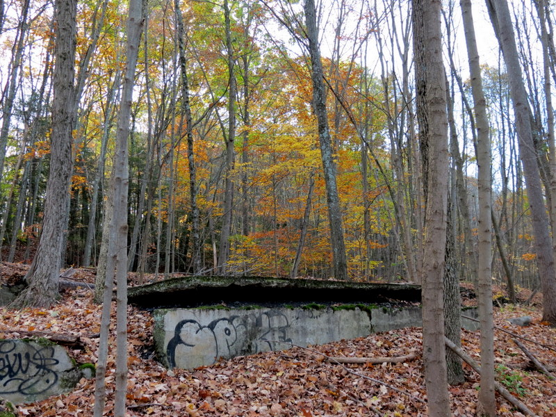
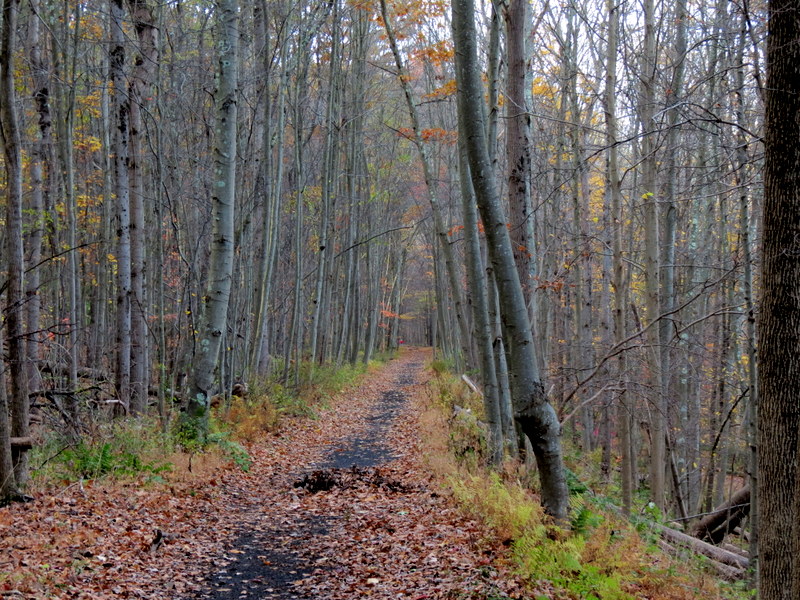
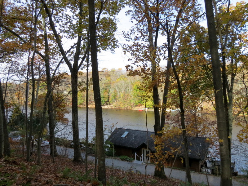
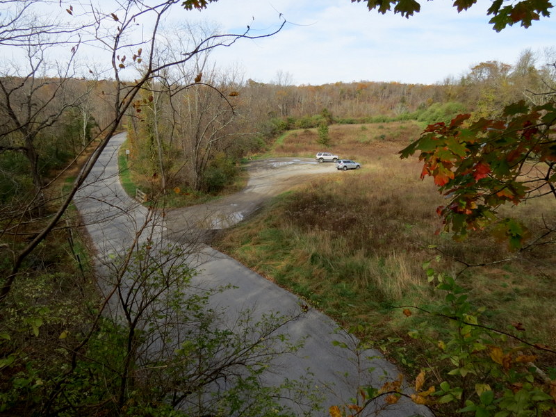
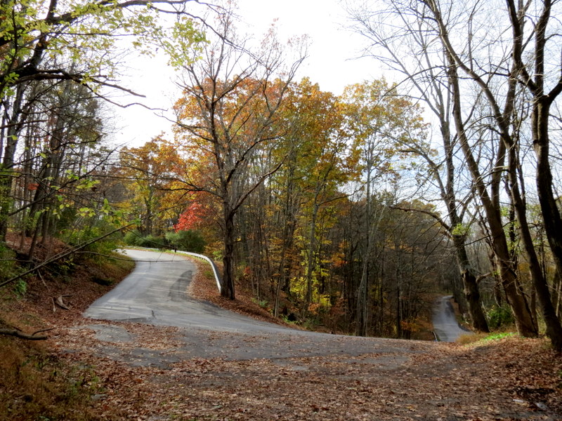
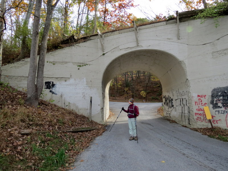
to discover that there is a new segment of the Great Valley Rail Trail which passes right over Plotts Road! The last time we hiked in this area, the 
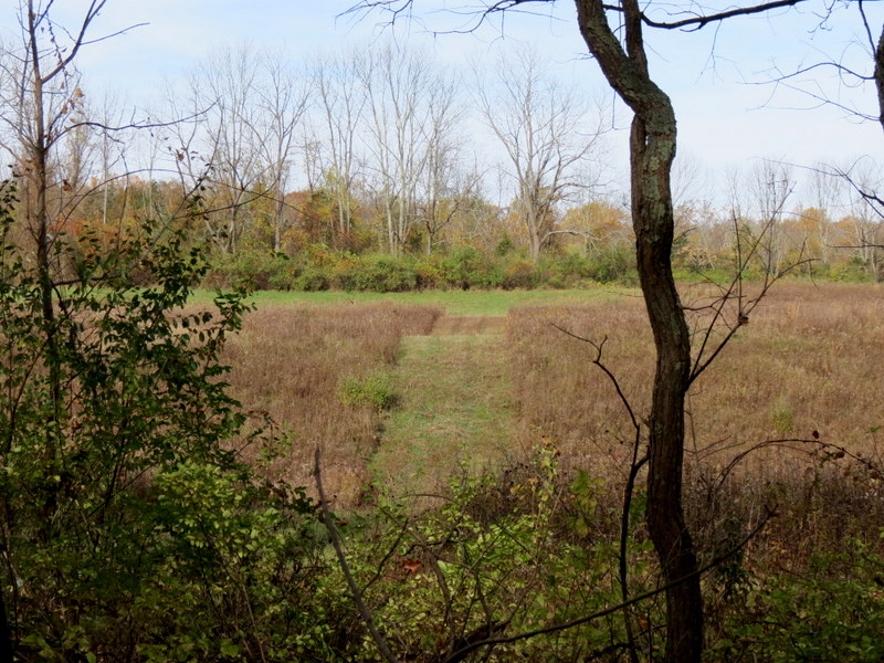
rail bed on the bridge over Plotts Road was inaccessbile. But today we were able to do it, as you can see in the photo I took from the bridge of our car parked below (third from the last row).

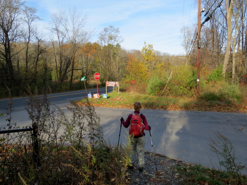
Total distance covered today was 6.3 miles in 2 hours and 45 minutes.

For those keeping track, the following is when we hiked all of the sections of the Paulinskill Valley Trail:

Paulinskill Valley Trail
Distance Between Access Points (in miles)
Starting Access Point Ending Access Point Mileage Date(s)
Sparta Road County Route 623 0.8 12/6/2015
County Route 623 Garrison Road 0.8 12/6/2015
Garrison Road County Route 663 (Warbasse Junction) 0.7 12/6/2015
County Route 663 (Warbasse Junction) Sid Taylor Road 1.2 12/6/2015
Sid Taylor Road State Road 206 0.6 11/8/2015
State Road 206 County Road 519 1.1 11/8/2015
County Road 519 Plotts Road 2.1 11/8/2015
Plotts Road County Road 622 (Old Swartswood Road) 1.0 11/4/2017
County Road 622 (Old Swartswood Road) County Road 614 2.4 11/4/2017
County Road 614 Kohlbocker Road 0.4 10/24/2015
Kohlbocker Road County Road 610 0.8 10/24/2015
County Road 610 Old Station Road 0.6 10/24/2015
Old Station Road Wall Street 0.4 10/24/2015
Wall Street Cedar Ridge Road 0.6 10/24/2015
Cedar Ridge Road Hens Foot Road 1.3 9/13/2015
Hens Foot Road Stillwater Road 0.4 9/13/2015
Stillwater Road County Route 659 (Spring Valley Road) 0.9 5/24/2015, 9/13/2015
County Route 659 (Spring Valley Road) East Christman Road 2.1 7/19/2015
East Christman Road State Route 94 (Footbridge Park east) 0.7 7/19/2015
State Route 94 (Footbridge Park east) Footbridge Park West 0.2 8/15/2015
Footbridge Park West Lambert Road 2.0 8/15/2015
Lambert Road Gwinnup Road 2.0 9/13/2009, 8/15/2015
Gwinnup Road County Road 655 (Vail Road) 0.5 9/13/2009
County Road 655 (Vail Road) West Chrisman Road 1.1 9/13/2009
West Chrisman Road Station Road (Hainsburg) 1.3 9/13/2009

(Click on the thumbnail to bring up a bigger image in a pop-up window)


Photographs and content copyright © Dan Balogh
Web design by Dan Balogh