 |
|
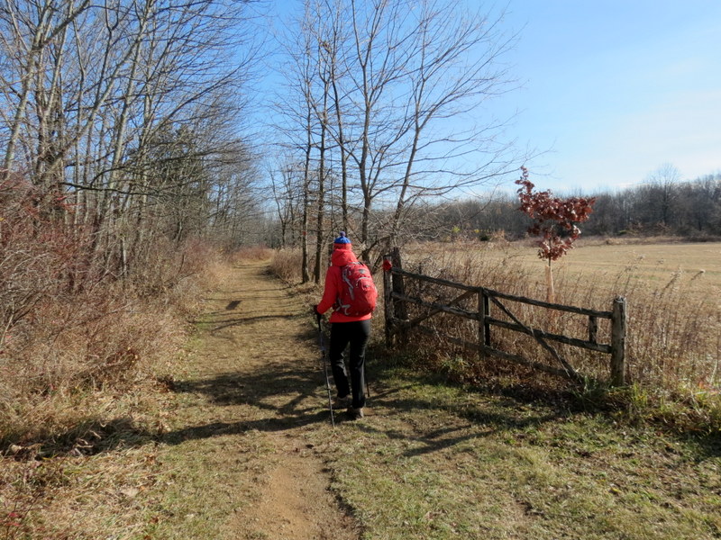
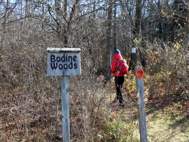
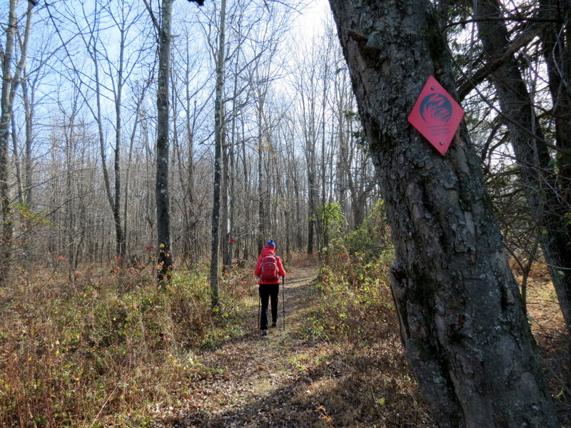
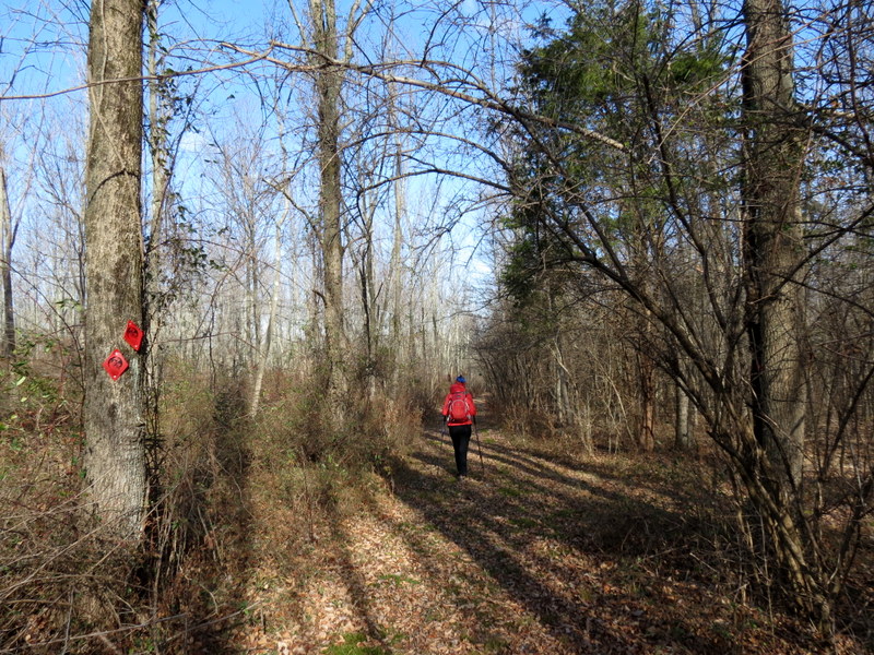
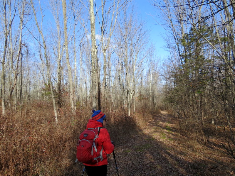
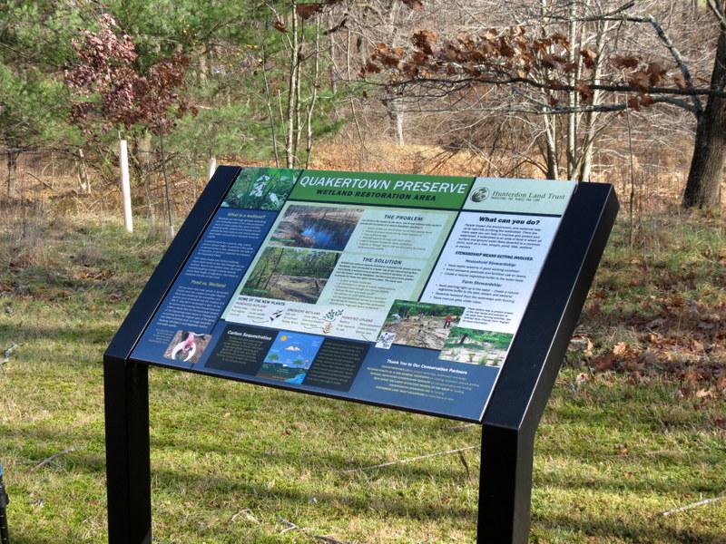
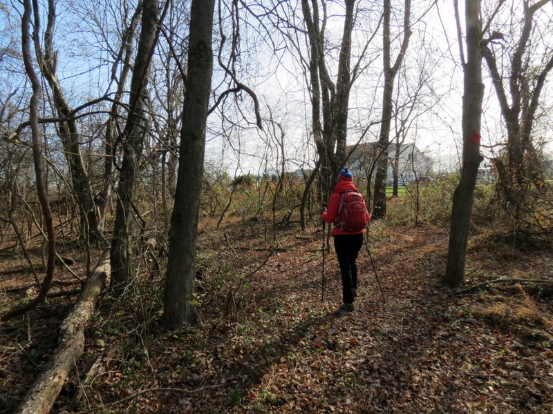
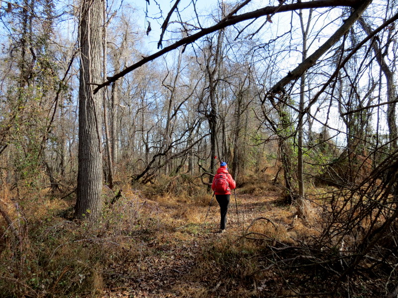
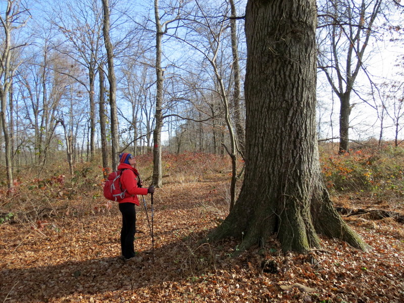
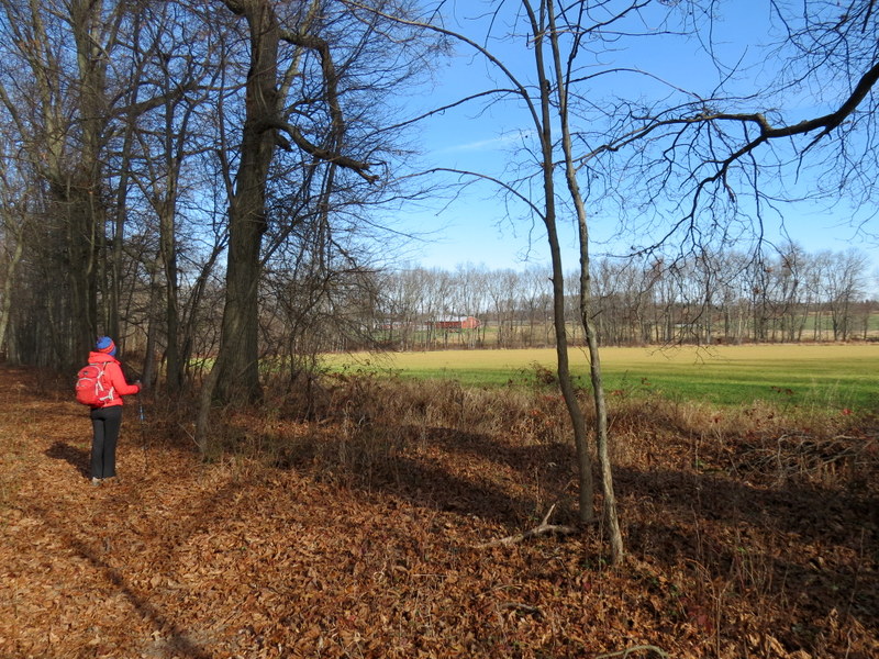
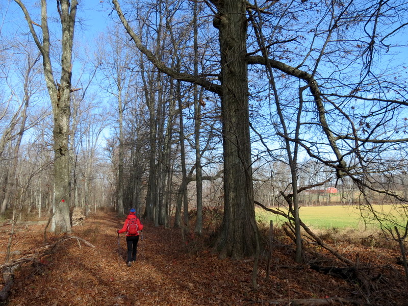
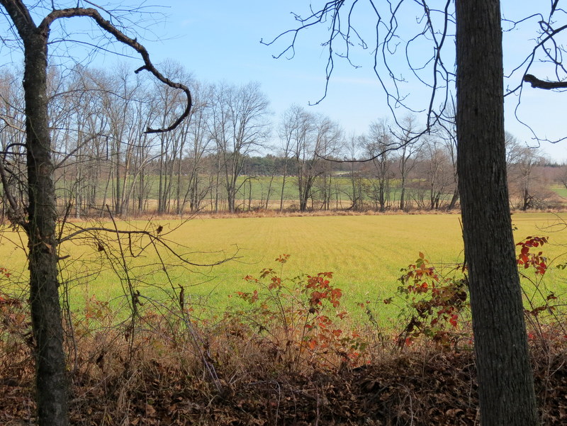
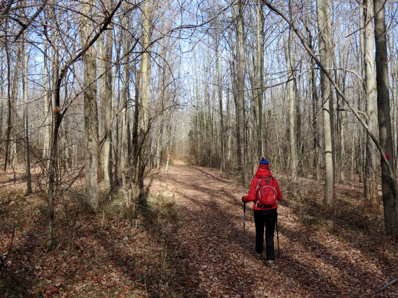
This was the second of two areas we visited today in Hunterdon County.
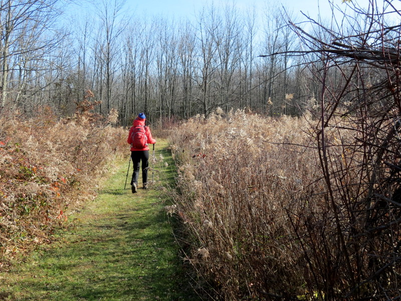
Using this map, we parked in the grassy area next to the kiosk (which had maps) and headed east (the map is oriented so that north points to the left), covering every trail in the preserve with minimum repeats. It's a beautiful little area with forest, open fields and adjacent farmlands. Total distance hiked was 1.6 miles in 55 minutes.
|
 |
 |
 |
 |
 |
 |
 |
 |
 |
 |
 |
 |
 |
 |
 |
 |
 |
 |
 |
 |
 |
 |
 |
 |
 |
 |
 |
 |
 |
 |
 |
 |

|
|
Photographs and content copyright © Dan Balogh Web design by Dan Balogh |