 |
|
Today we returned to Wawayanda for the first official summer hike of 2013. The park was quite different from our last visit just
three months ago. The trails we traversed today were closed for at least six months
due to damage from Hurricane Sandy but reopened not long ago. I'm glad too, since this is one of the loveliest hikes I've done in Wawayanda, especially
if you like solitude and huge swamps.
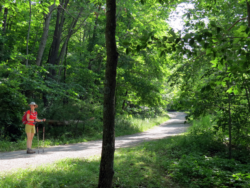
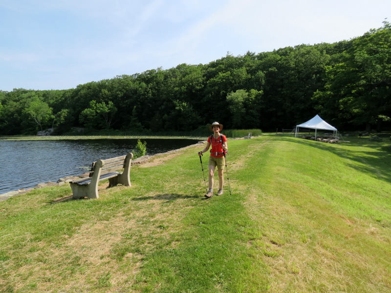
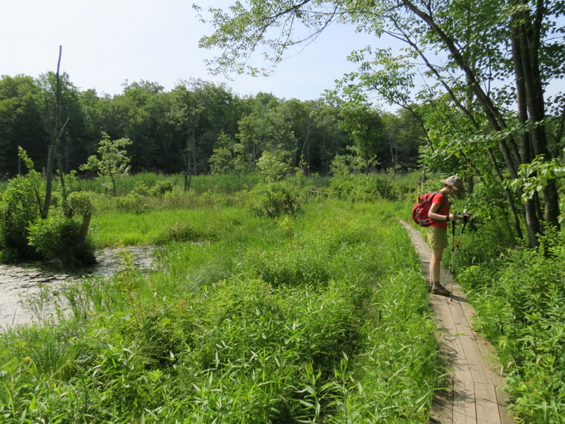
Today we parked at the eastern boat launch in the closest spot to the trail head possible (not sure how this happened since the lot was getting a bit crowded even by the time we arrived at 9 AM). We headed east along the northern bank of Lake Wawayanda, picking up Double Pond trail which we took east to the Red Dot trail. We headed south on the Red Dot, following the eastern leg at the lollipop in the middle, then continued south on an 'unmaintained trail' where the Red Dot heads east then south. This unmaintained trail is amazingly well-maintained and has one of the loveliest spots of the entire hike, on a sturdy wooden bridge that passes through a gorgeous wet area. The feeling of solitude here is amazing. Continuing south we headed east on the Cherry Ridge trail (a woods road), before heading back north on Red Dot taking the western part of the lollipop in the middle. The short stretch between Cherry Ridge and the inner lollipop has another fantastic spot, overlooking a huge expansive swamp to the east near a stone bridge apparently erected by someone named Nature Jim in 1993. We continued north on Red Dot, this time taking the western leg of the lollipop in the middle. We then traced our path back to the car. One aside: during our short jaunt along Cherry Ridge Road we noticed a nicely maintained (though unblazed) narrow trail heading south (east of the Old Coal trail, which it seemed to parallel). We walked it for a few minutes before turning back, since it wasn't on the map. When I got home I learned that there is a network of trails here that doesn't appear on the NYNJTC North Jersey Trail map #116. So of course we'll be going back one day to check out those! Total distance hiked today was 6.3 miles in just over 3 hours. (Click on the thumbnail to bring up a bigger image in a pop-up window)
|
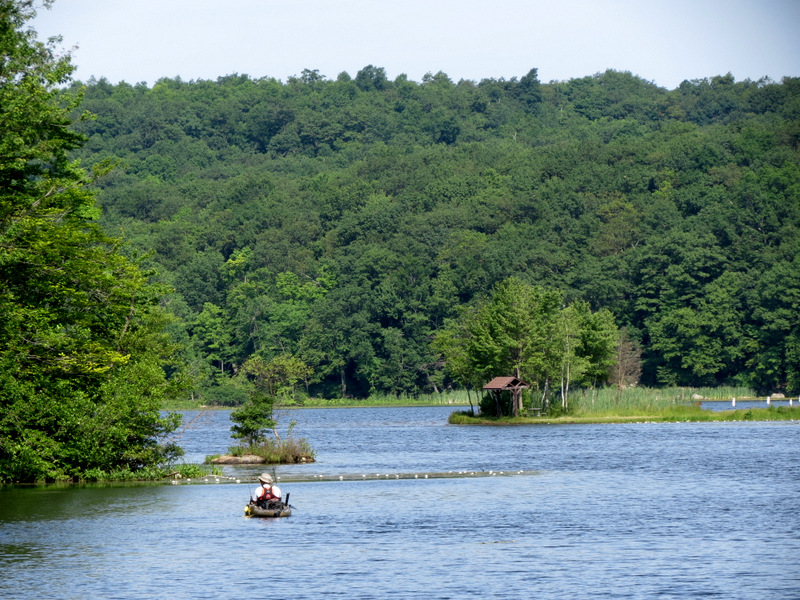
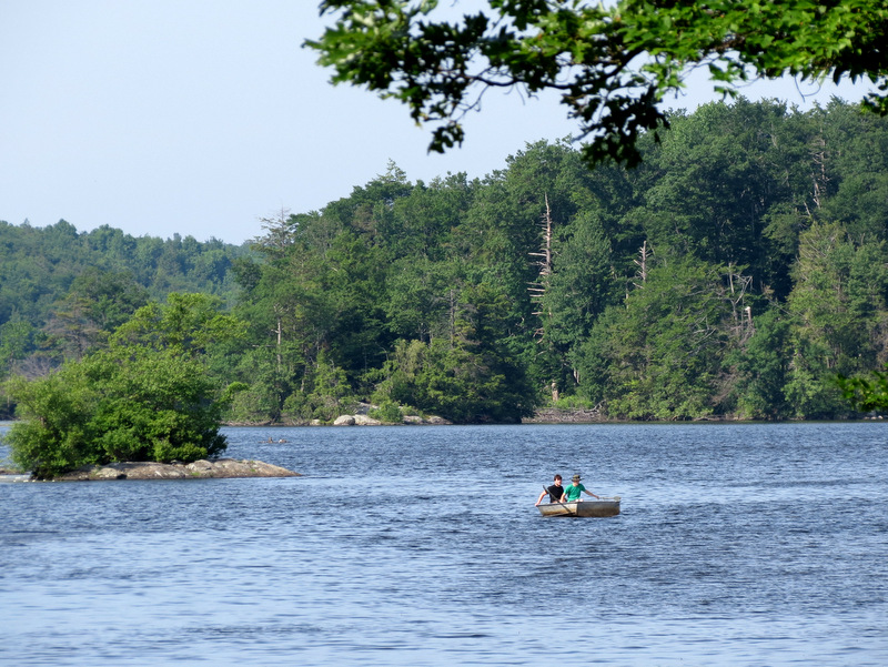 Paddlers in Lake Wawayanda |
 Parked right at the trail head |
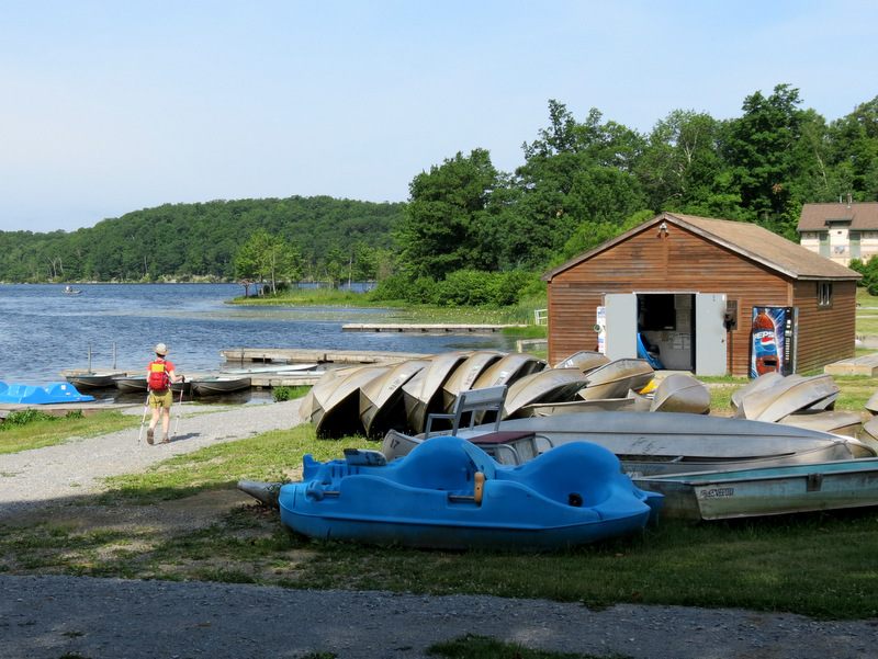 Wawayanda Lake boat house |
 Boats in lake |
 Dirt road north of lake |
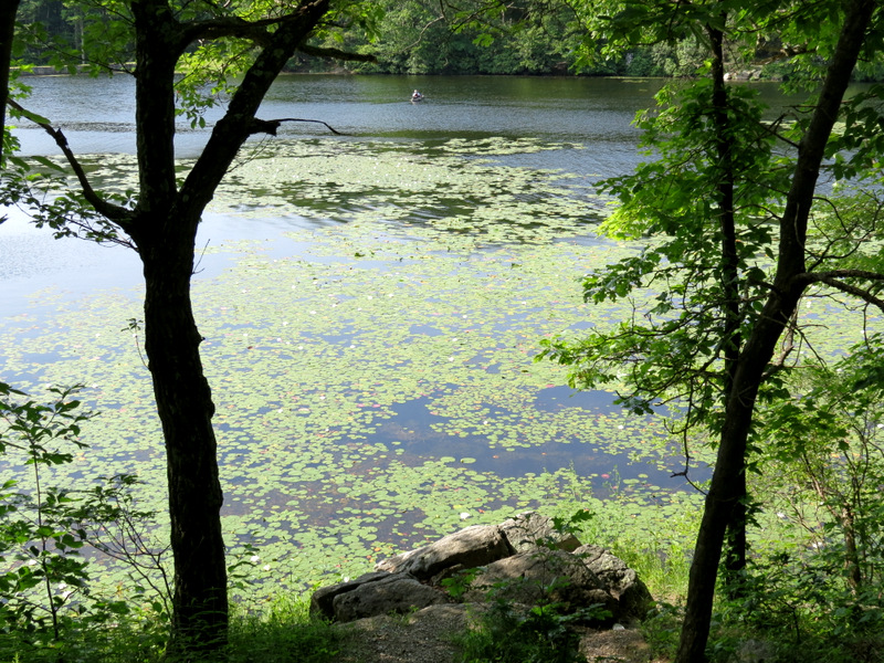
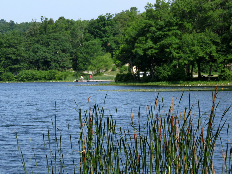
 Wawayanda Lake |
 Lotus flowers in lake |
 Lotus flower close-up |
 [Photo by Laura] |
 Various views of ... |
 ... Wawayanda Lake ... |
 ... from dirt path |
 Site of future wedding? |
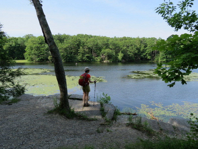
 Wawayanda Lake ... |
 ... from NE tip |
 On the dam |
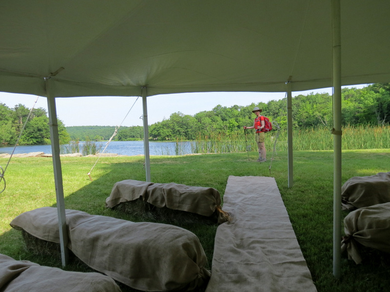
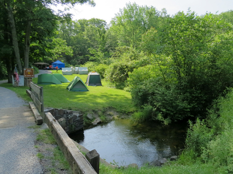 Boy Scout tents on Double Pond |
 Double Pond trail |
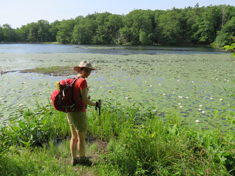
 Gorgeous swamp on Double Pond |
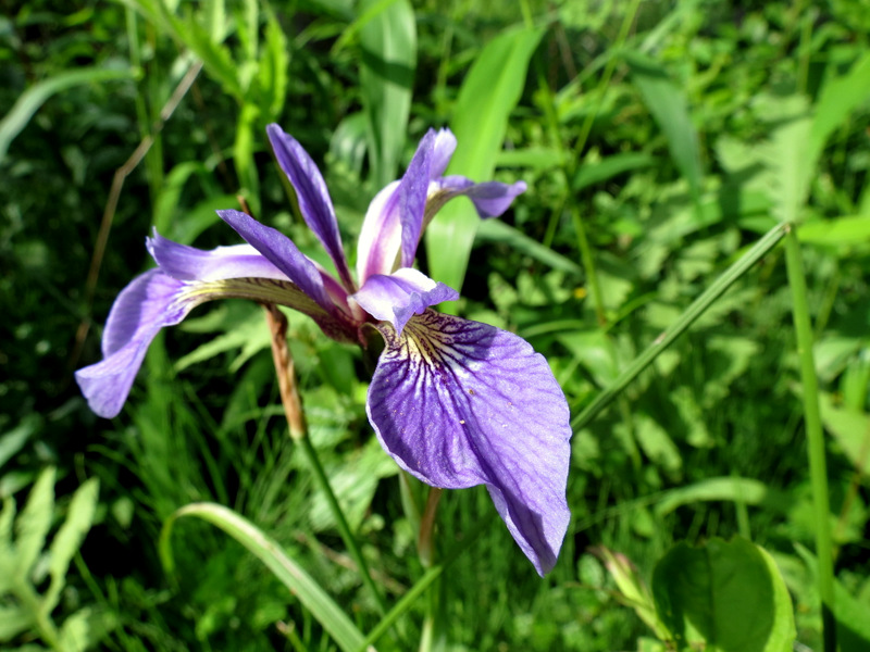 Iris |
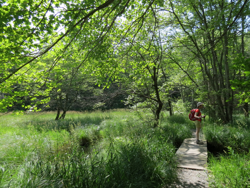
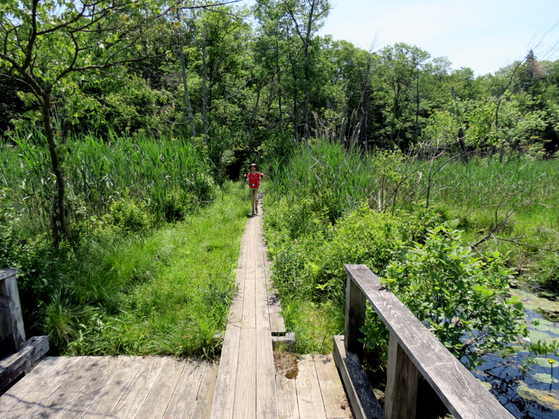
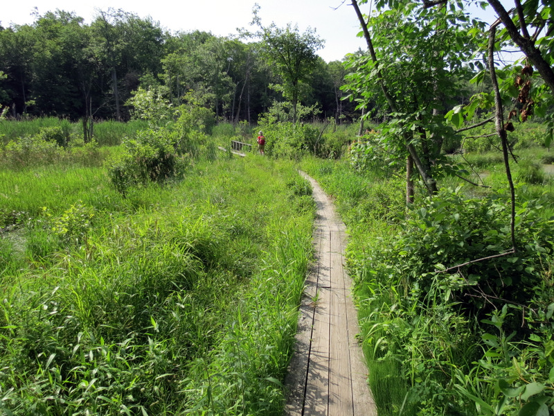 Boardwalk ... |
 ... through swamp |
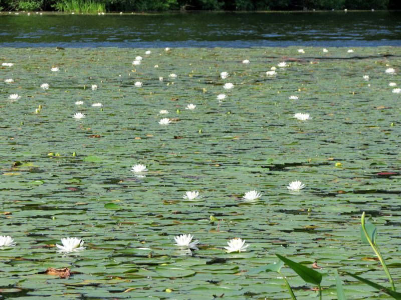
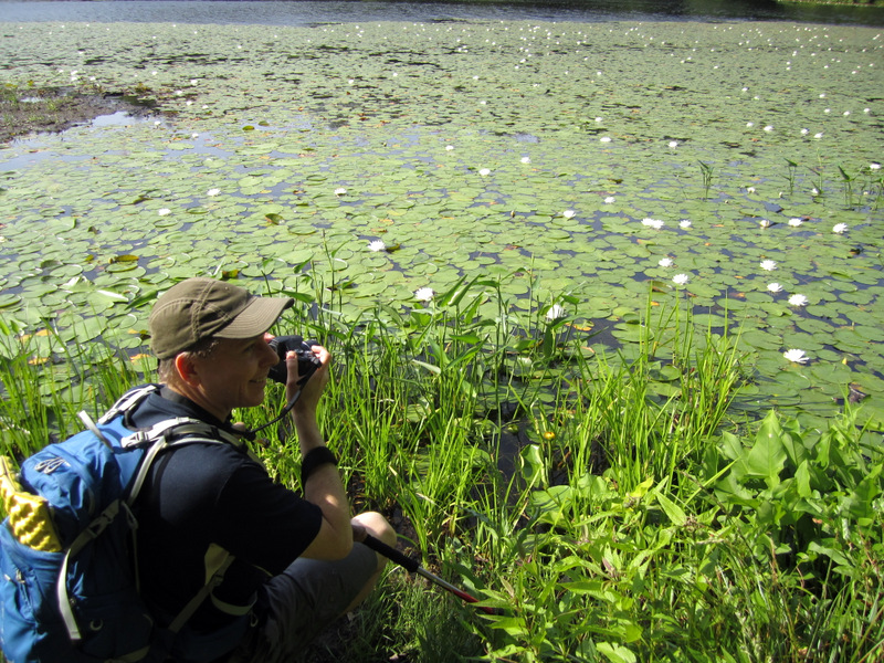
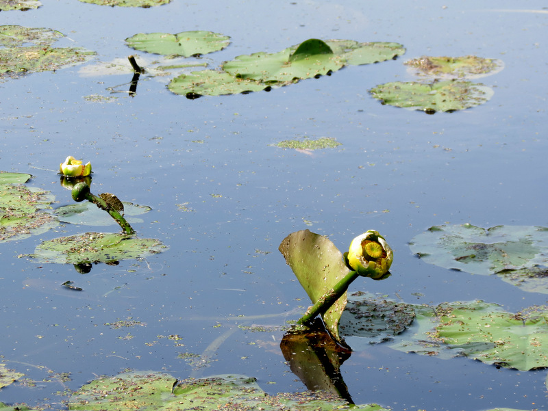 Lotus flowers ... |
 ... in swamp |
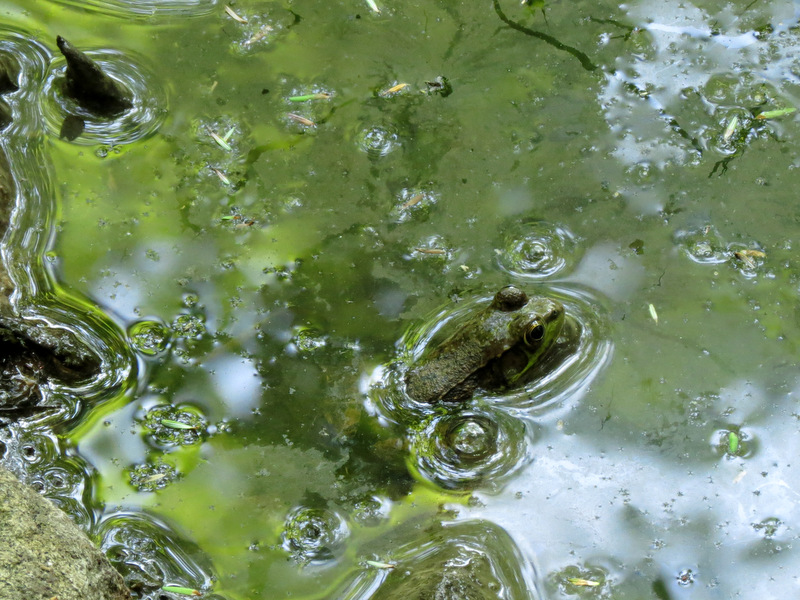
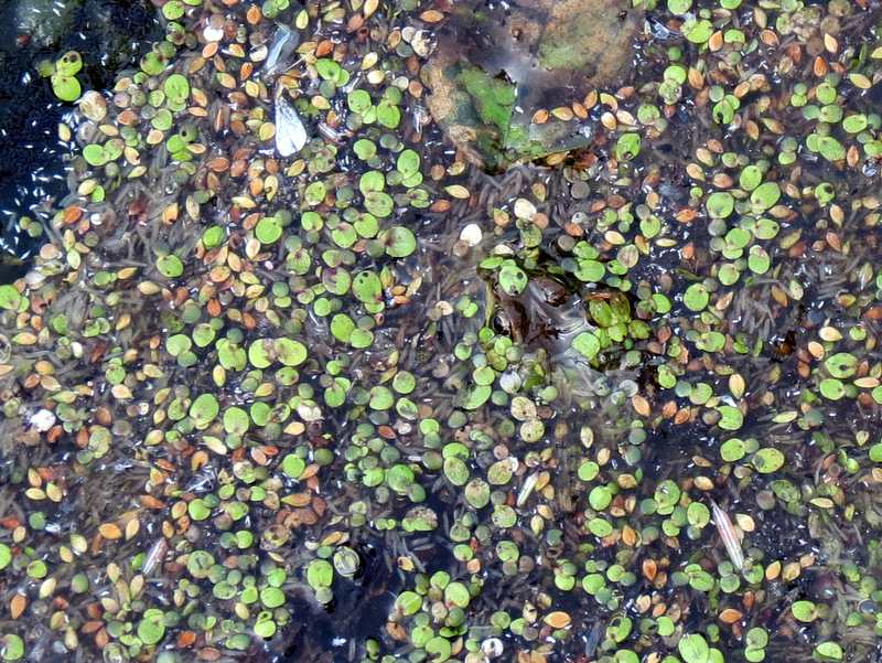 Can you find the frog? |
 View north |
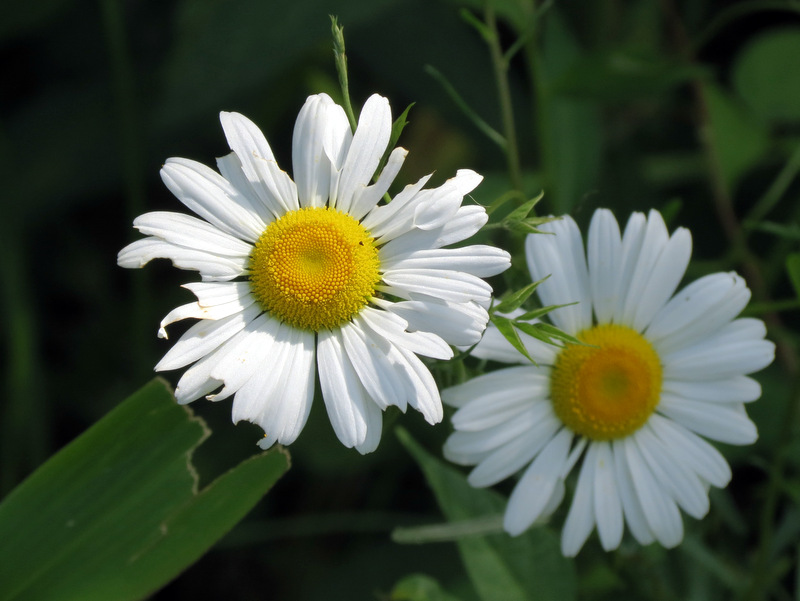 Daisies |
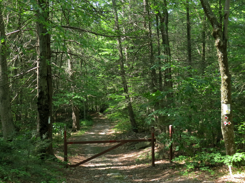
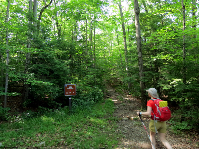 Red Dot trail head |
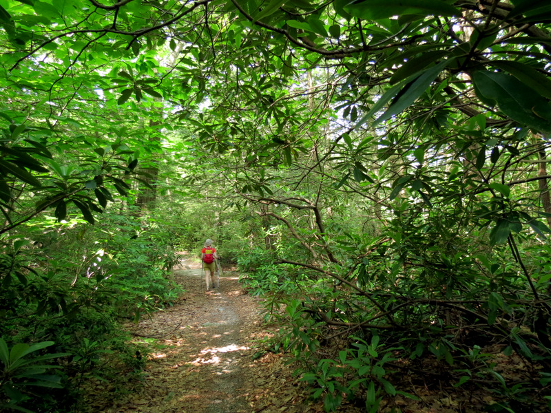 Rhododendron thicket |
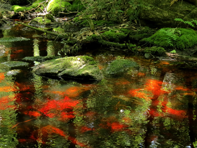
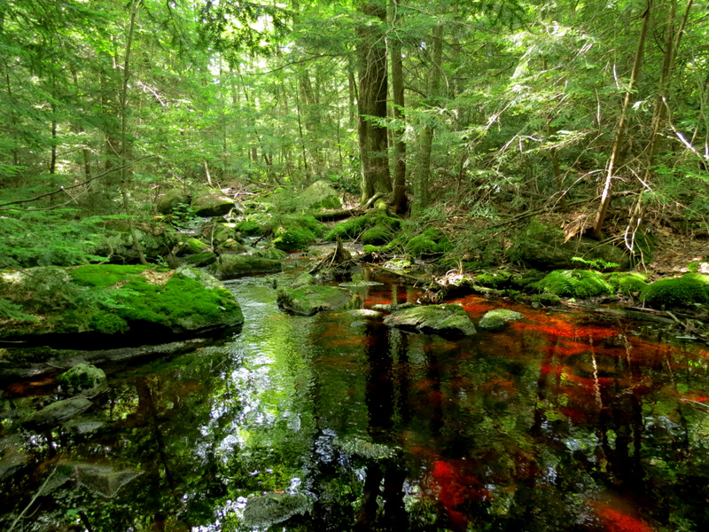 Gorgeous deep tanin color |
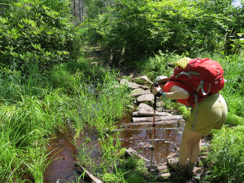
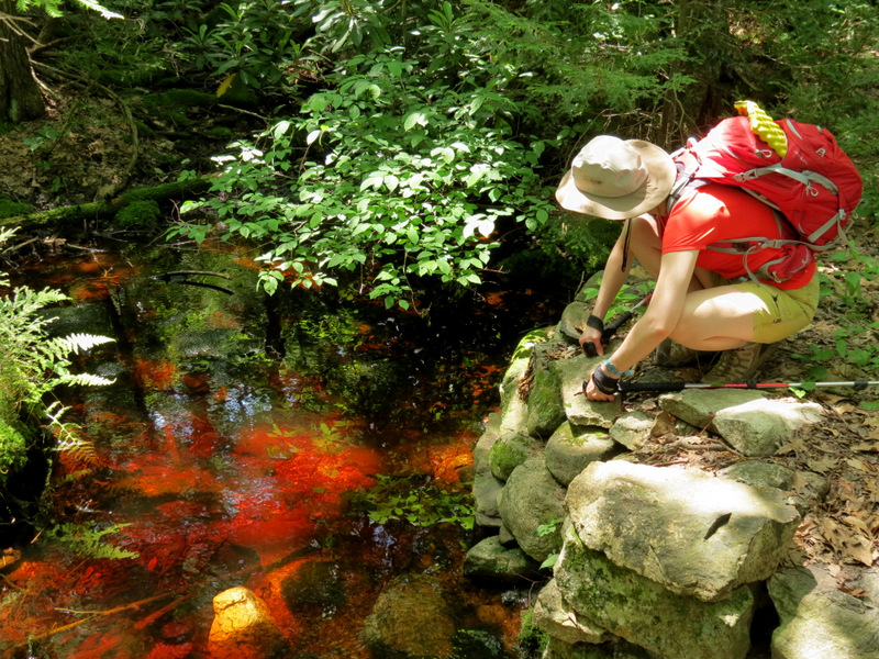
 Bridge over stream |
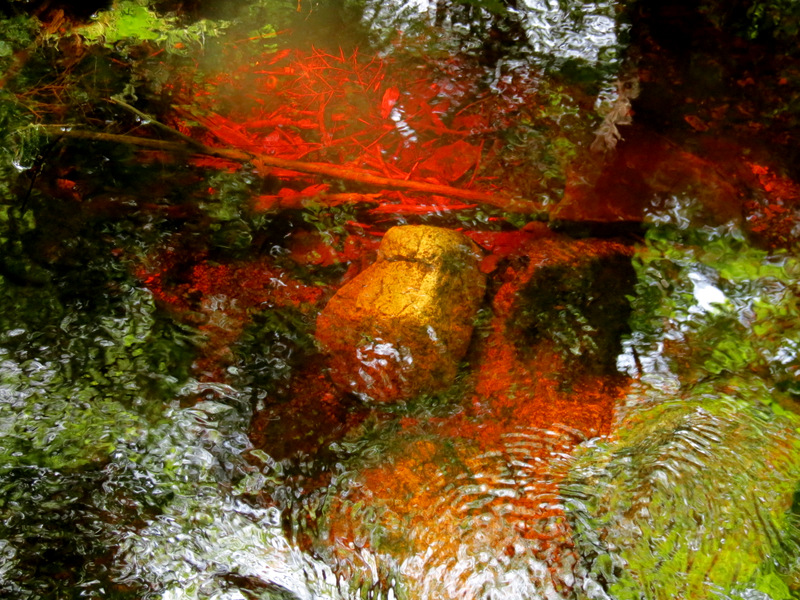 Deep tanin reds |
 Rhododendron on Red Dot |
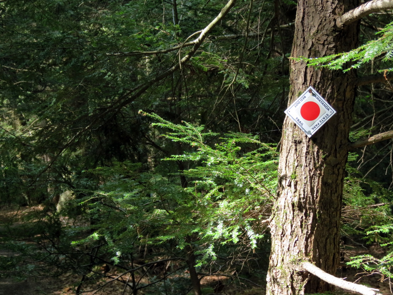 Red Dot blaze |
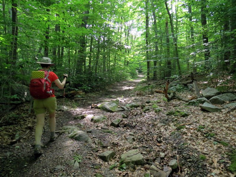
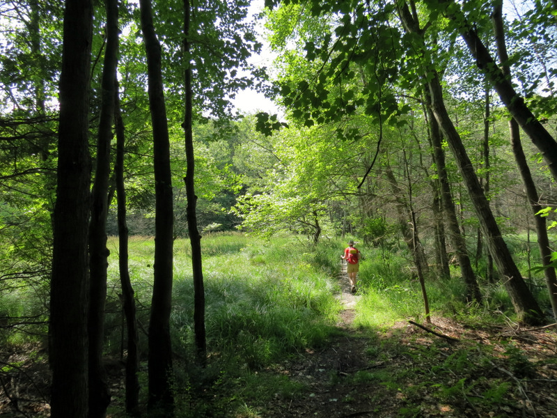
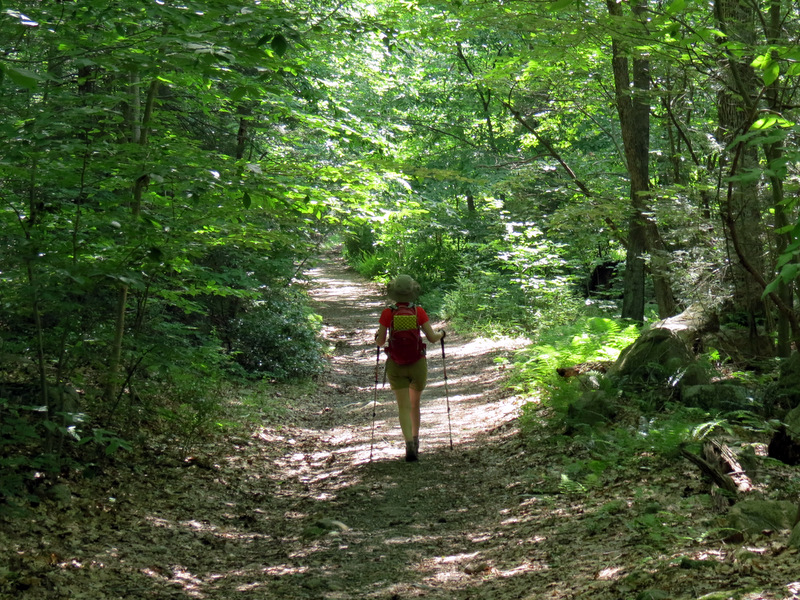
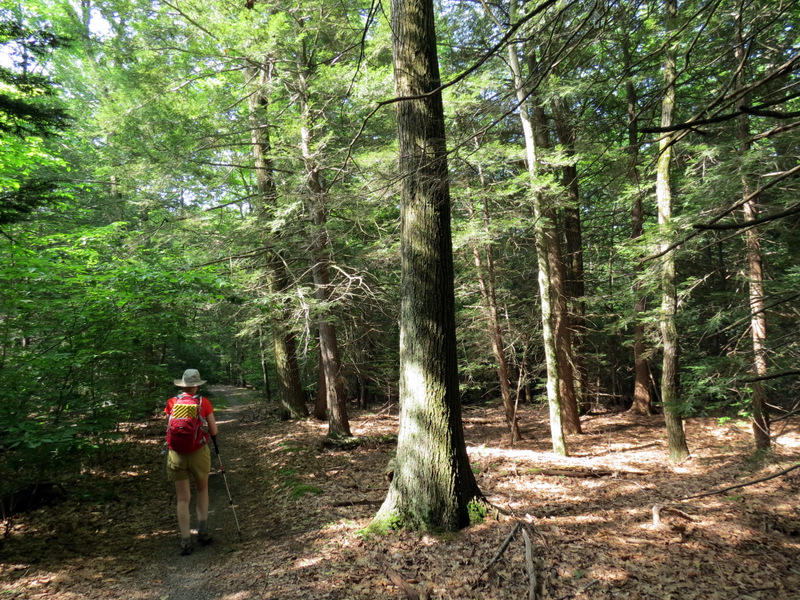 Heading ... |
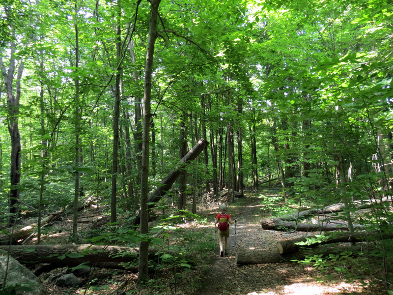 ... south |
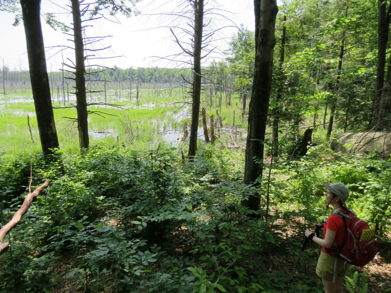
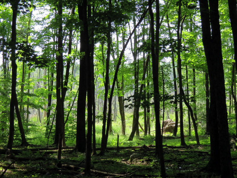 Swamp through trees |
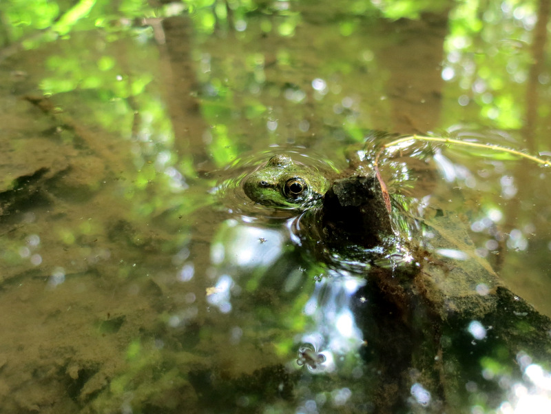 Frog |
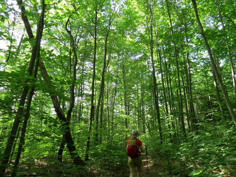
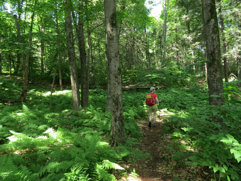
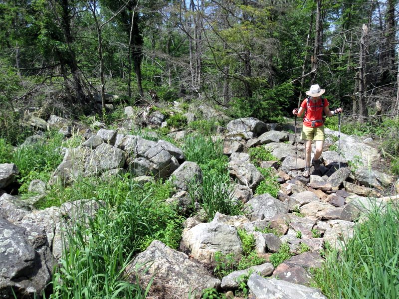
 Climbing |
 |
 Unmaintained trail ... |
 ... passes through wet area |
 View east |
 View west |
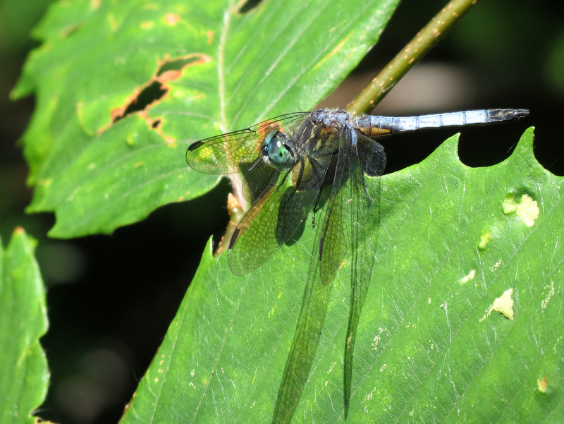
 Dragonfly |
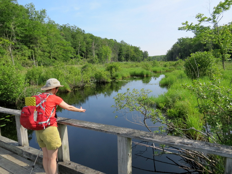
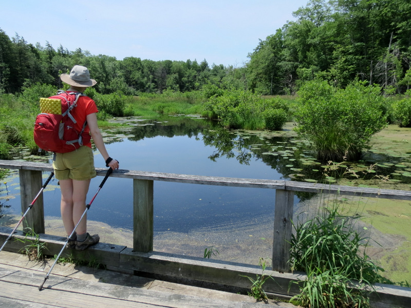
 View west from bridge |
 View east from bridge |
 Bridge through swamp |
 View to Old Coal trail head |
 Heading east on Cherry Ridge trail |
 Ferns |
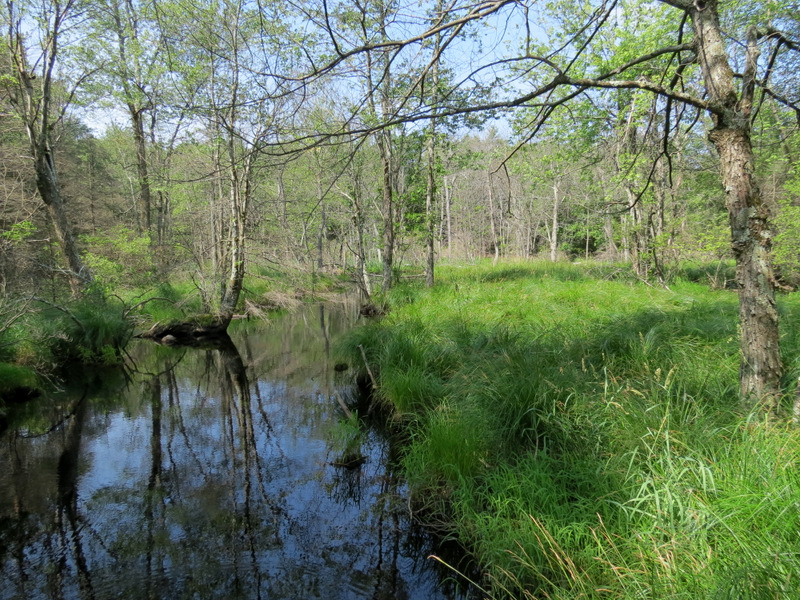
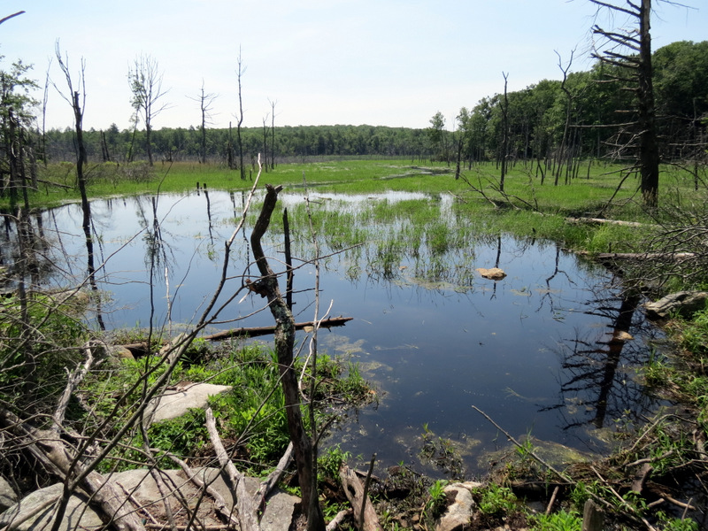
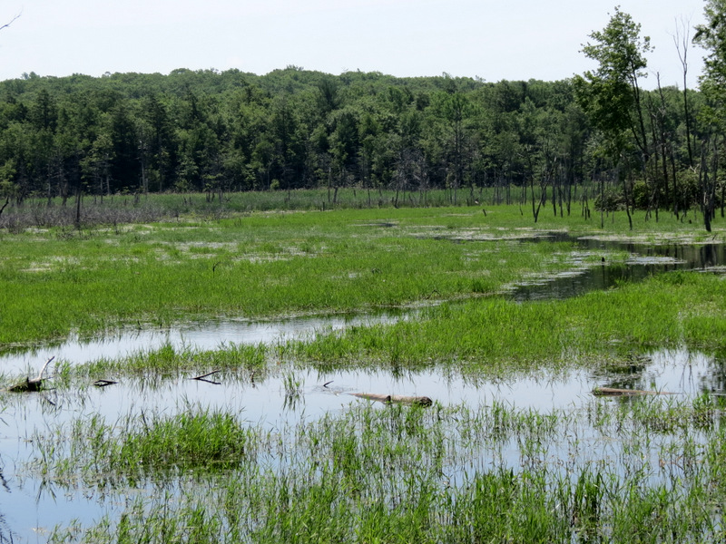
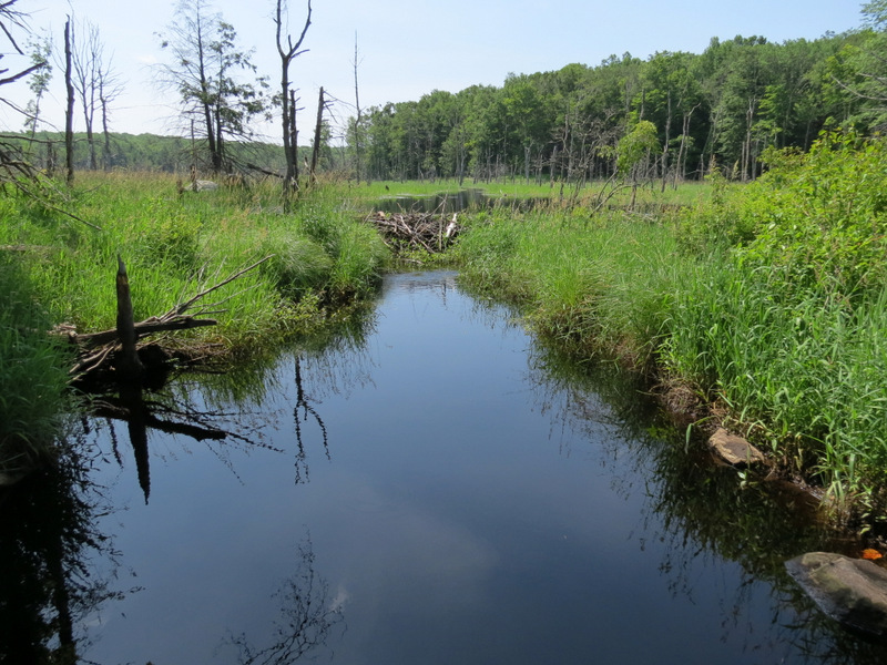
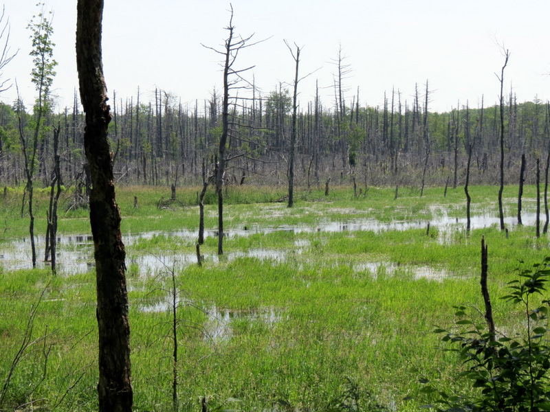 Huge swamp east |
 Swamp ... |
 ... extends ... |
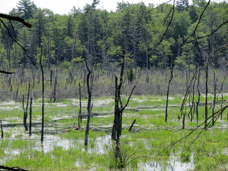 ... far east |
 Dragonfly at swamp |
 |
 Frog |
 Wet trail |
 Rock bridge |
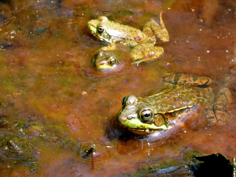 Three frogs in one shot! |
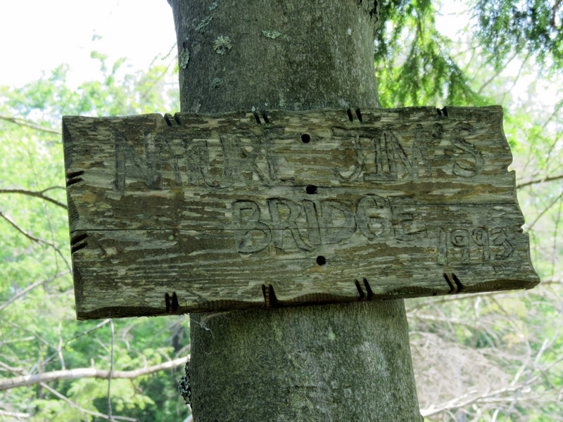 Sign for Nature Jim's Bridge |
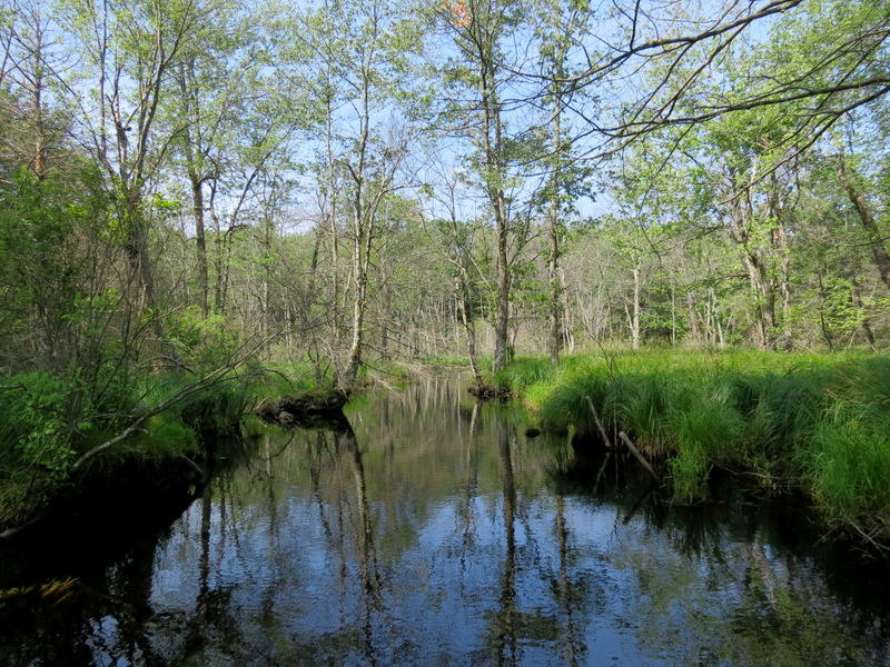
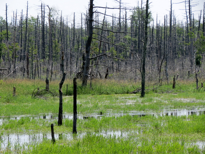
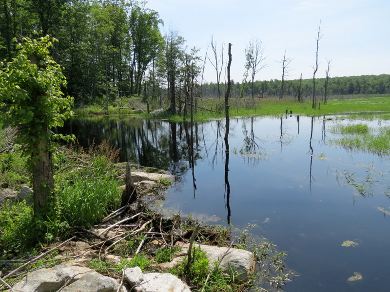
 Gorgeous view of swamp |
 Seems like a salt marsh here |
 |
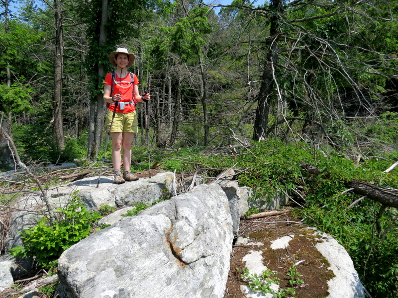 Rock outcrop ... |
 ... affords great view |
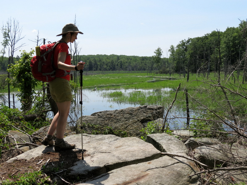
 Rock bridge |
 View east from rock bridge |
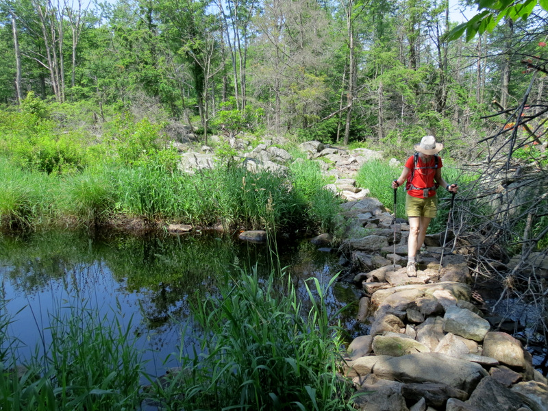 Rock bridge |
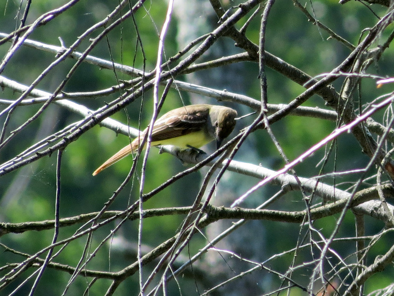 White-eyed Vireo |
 Dragonfly |
 |
 Grassy patch on Red Dot |
 Deep tanins ... |
 ... on return |
 Boardwalk on Double Pond |
 View west |
 Wawayanda Furnace |
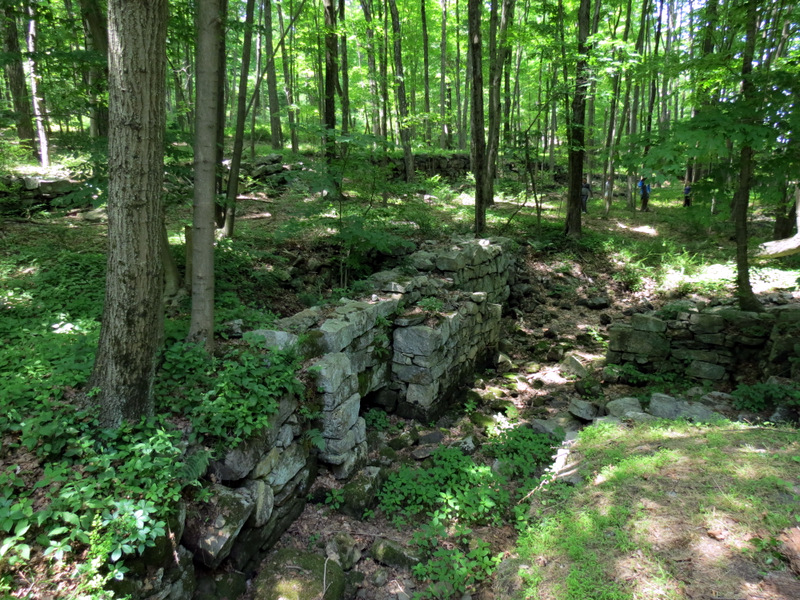 Ruins west of furnace |
 More views ... |
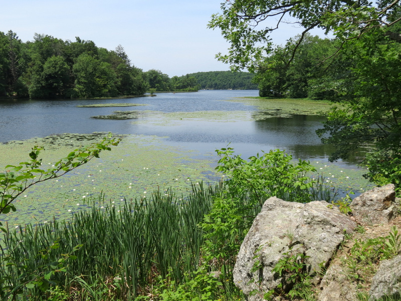 ... of Wawayanda Lake ... |
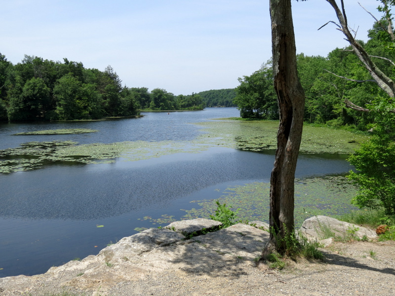 ... from NE tip |
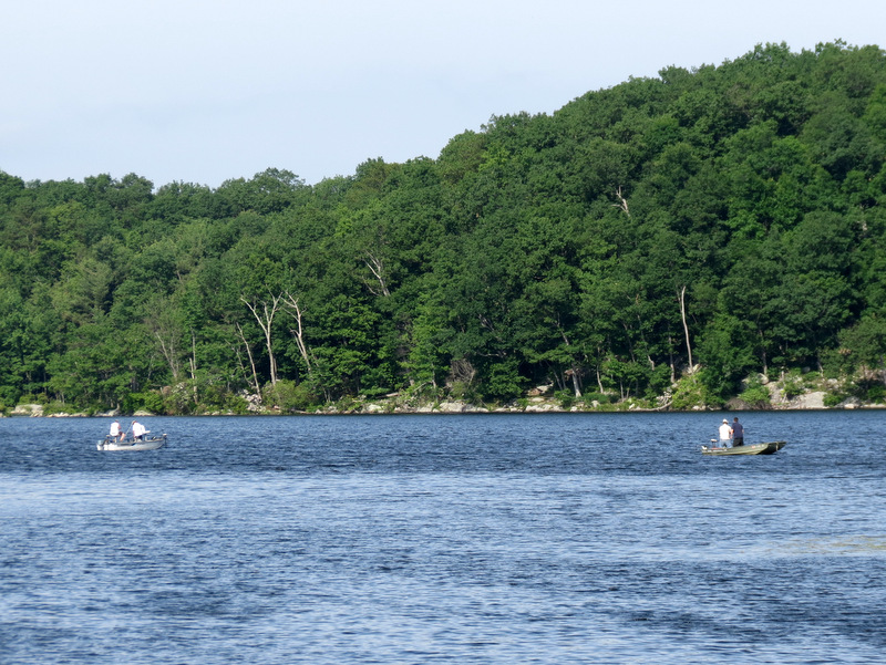
 Rowers in lake |

|
|
Photographs and content copyright © Dan Balogh Web design by Dan Balogh |