 |
|
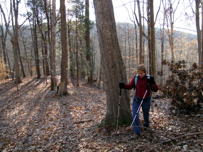
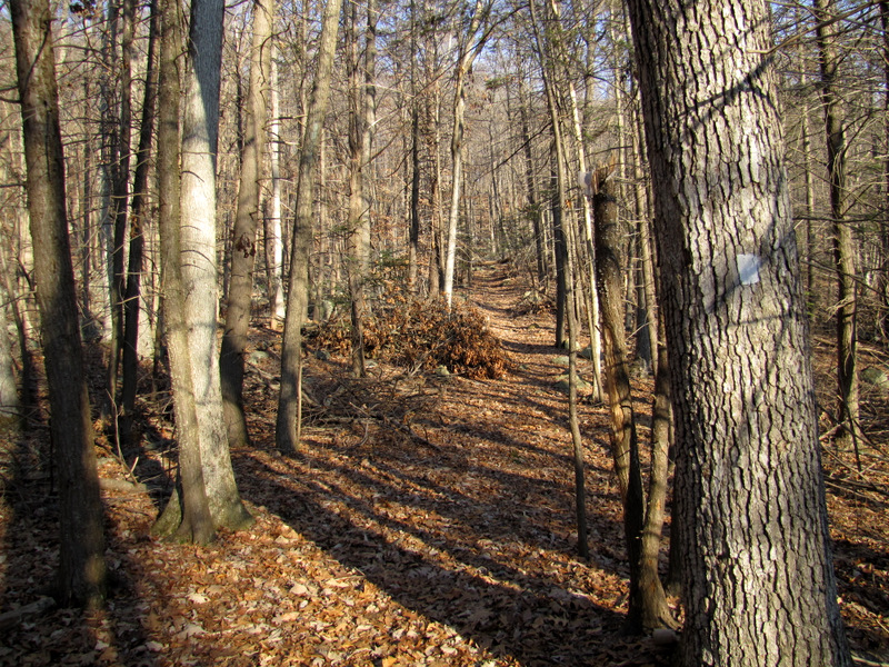
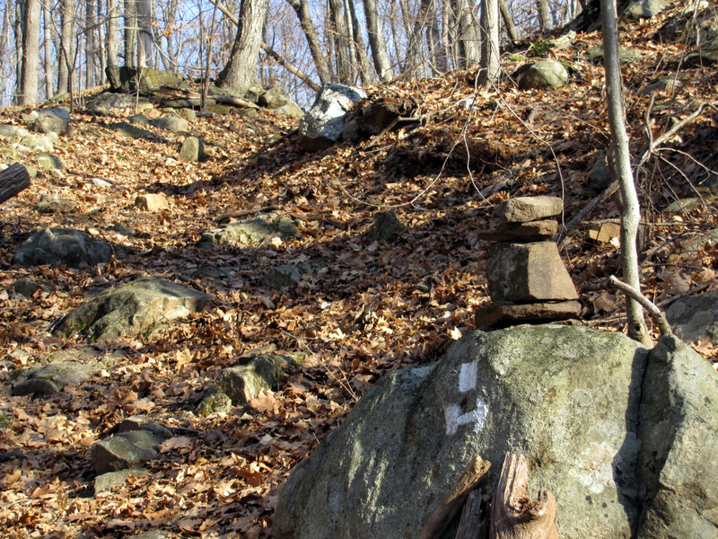
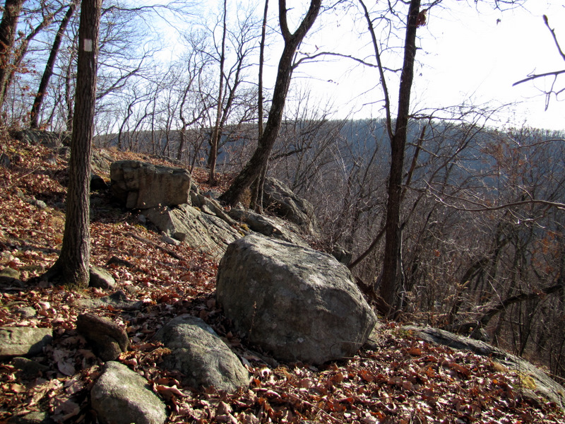
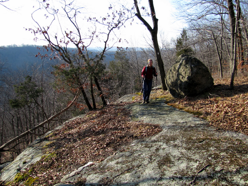
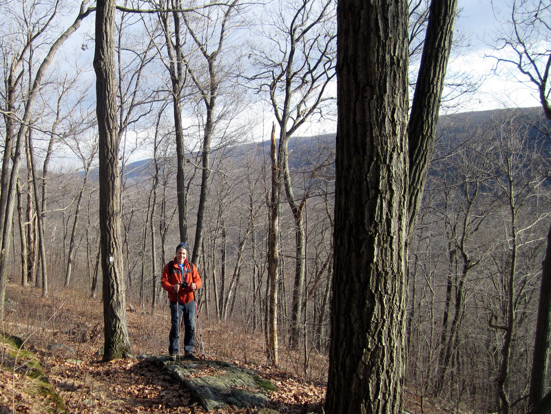
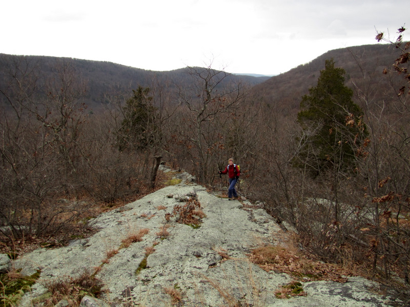
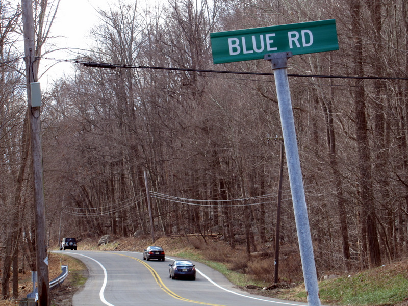
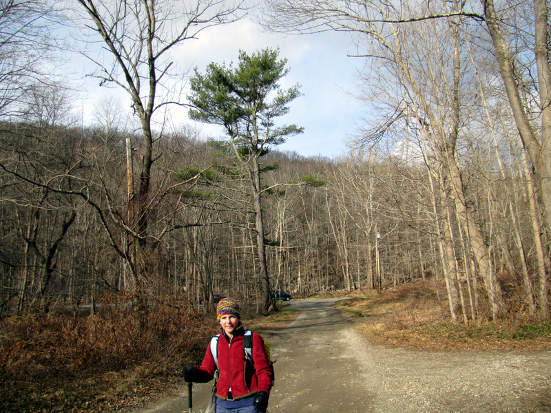
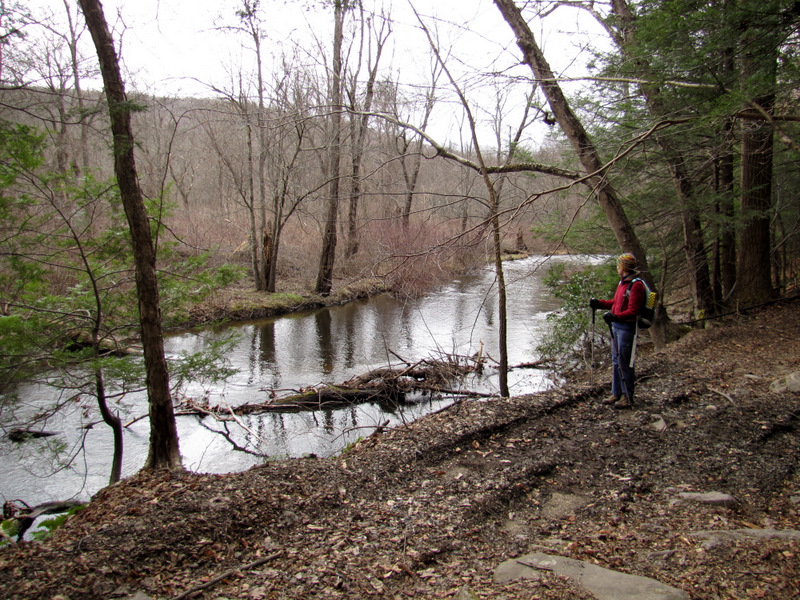
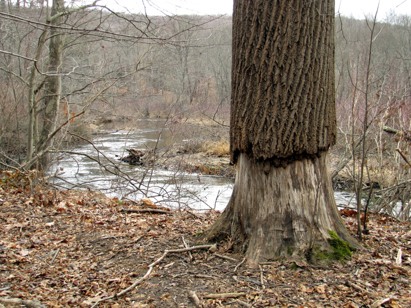
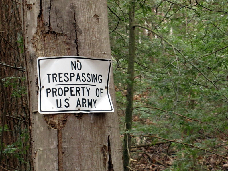
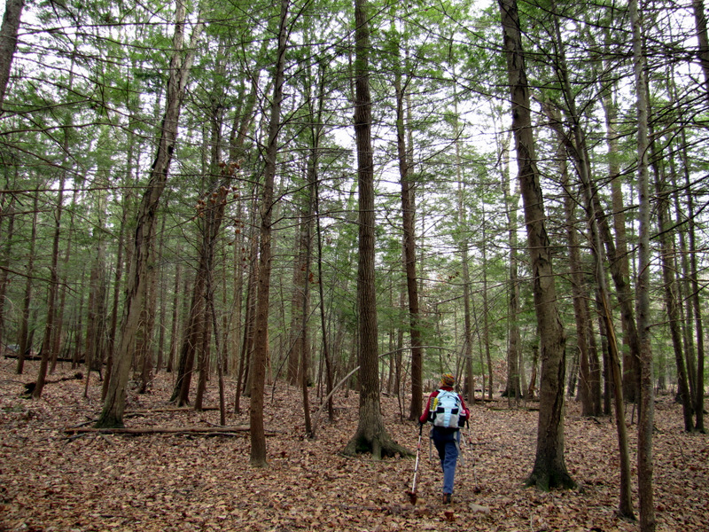
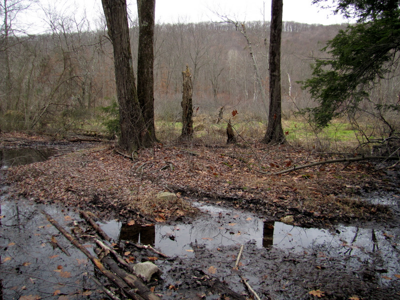
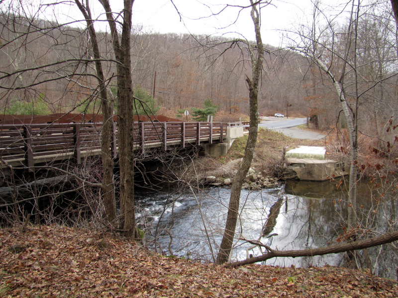
Seven years ago, almost to the day, we hiked the Beaver Brook Trail from its southern end on Berkshire Valley Road (Route 699) to Lost Lake and back. Examining the NYNJTC Jersey Highlands Trails Map 126 (1st edition, 2011), I was able to piece together a circuit which traversed that trail once again past the two viewpoints noted on the map, and then visited new trails we hadn't done previously. It made for a very varied hike. Like last time, we parked in the lot on Berkshire Valley Road (just north of Taylor Road), and headed north on the white-blazed trail. This trail climbs immediately, and it continues doing so for at least the next 20 minutes, right to the ridge. After the second viewpoint, labeled "Valley View Lookout" on the map, we continued north until we reached a narrow woods road used by hunters. This road is labeled Compton-Gobel Road on Google Maps. We headed east on this road, passing a handful of hunter SUVs, though we saw no hunters. We then headed south on another woods road which descended steeply on a badly eroded path until it reached Route 699 at exactly where Blue Road continues east. We took this road east, first visiting the wonderful waterfall at the southern dam of Longwood Lake. We then took a smattering of woods roads in the southwesterly direction, on the eastern side of Rockaway River. This area has dozens of criss-crossing trails, the vast majority of which do not appear on the aforementioned NYNJTC map. But if one keeps going in a general SW direction, one eventually comes out on Route 699 less than 0.1 miles south of the parking area. Straying east while in this area could get you arrested by the U.S. Military since the property is part of Picatinny Arsenal. We covered 6.7 miles today in about 4 hours.
|
 On Beaver Brook trail |
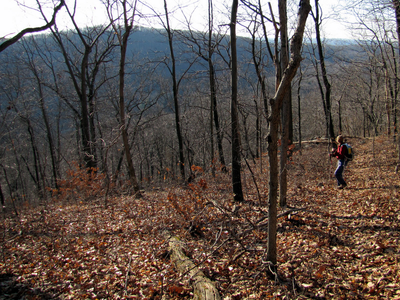
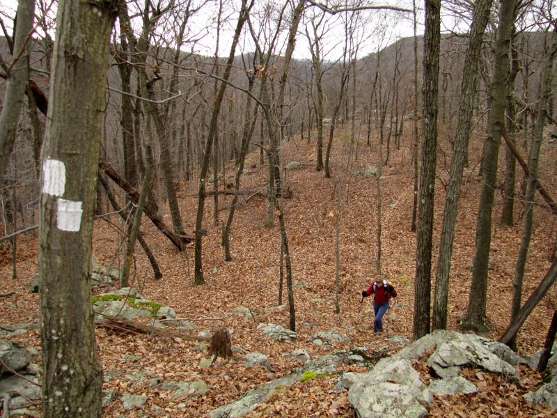
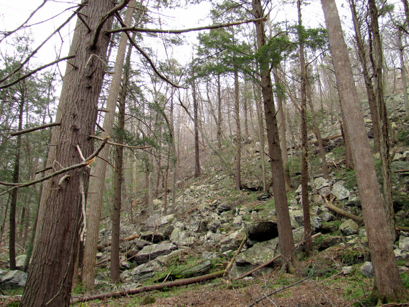
 It climbs |
 And climbs |
 And climbs |
 Easy to miss this turn |
 |
 Partial view NE |
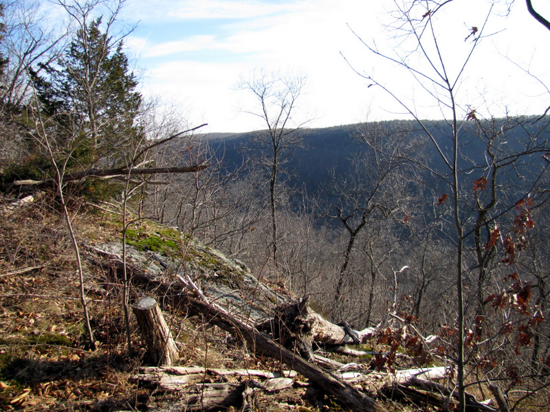
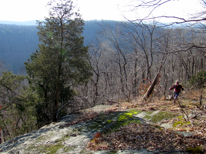
 View SE |
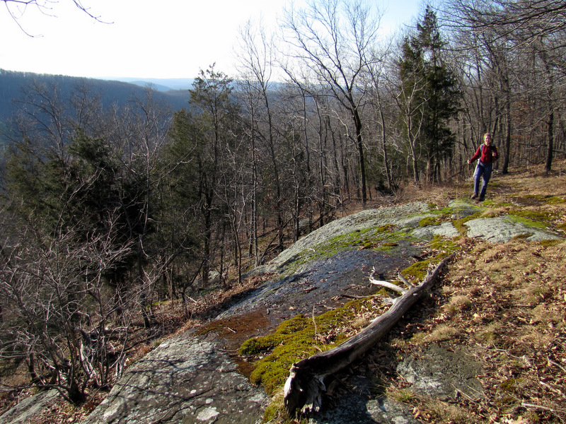 Walking along ... |
 ... the ridge |
 |
 |
 View east |
 |
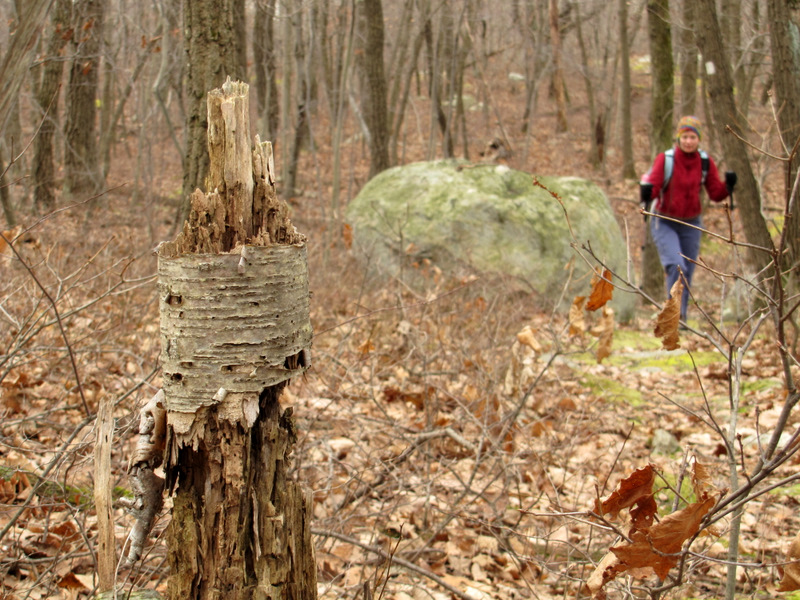
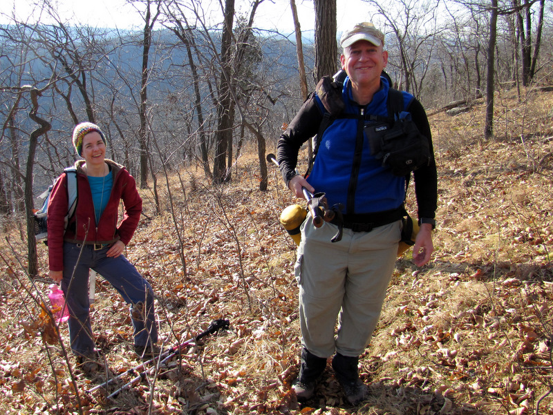 Fellow hiker Rich |
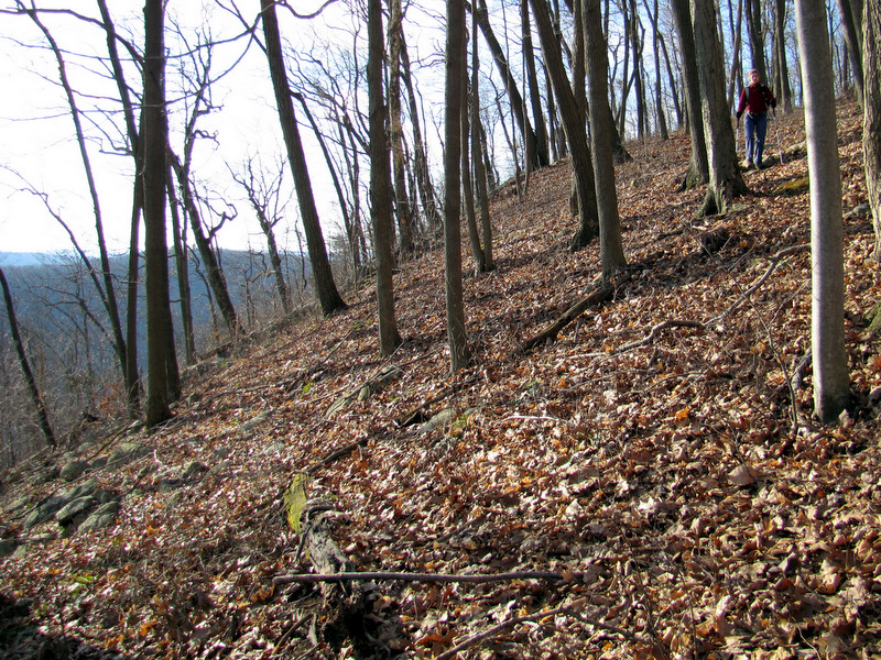 Now descending |
 [Photo by Laura] |
 Mushroom face! |
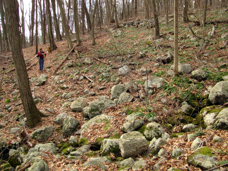
 A rocky descent |
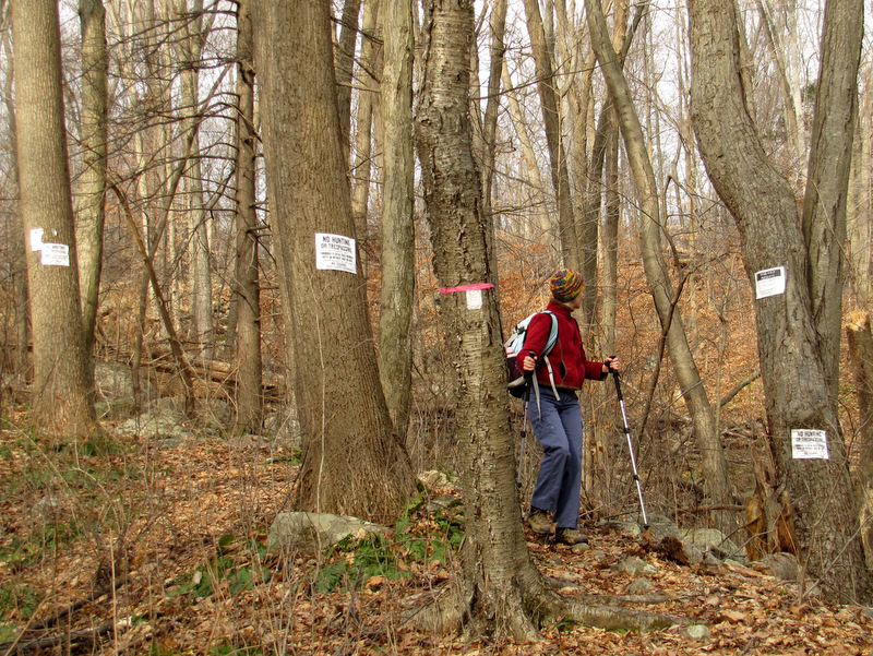 Sign pollution! |
 Still descending |
 |
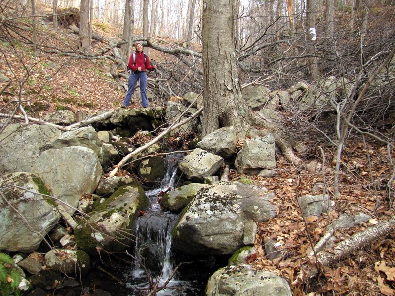
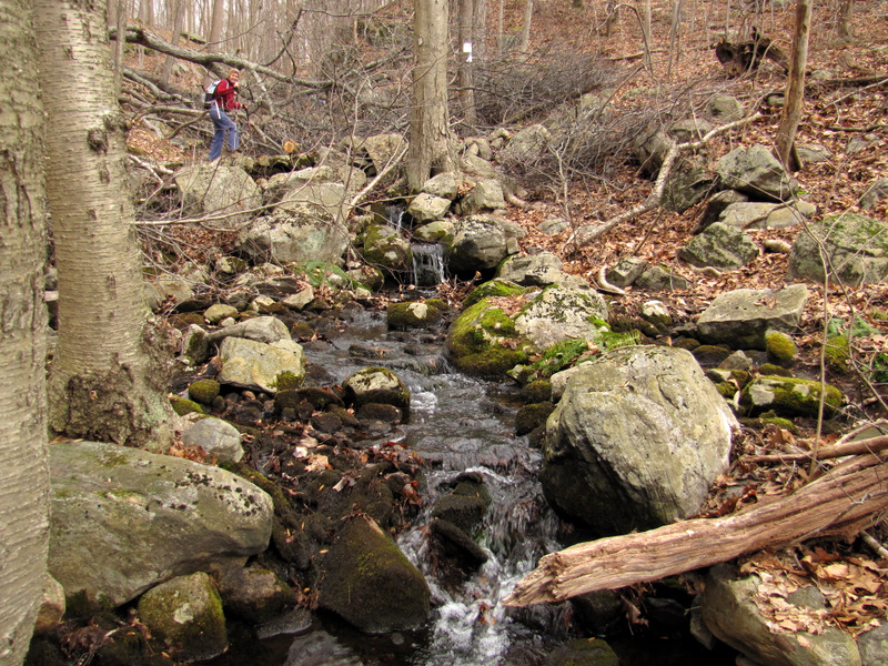 Creek crossing |
 |
 [Photo by Laura] |
 |
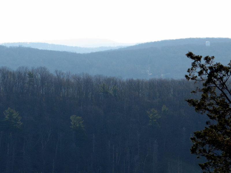
 Picatinny Tower |
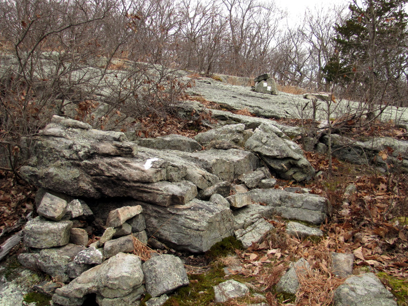
 At Valley View Lookout |
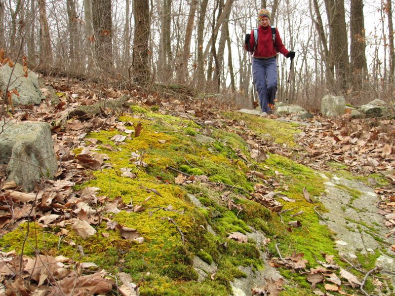
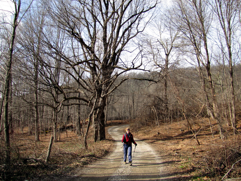
 Climbing again |
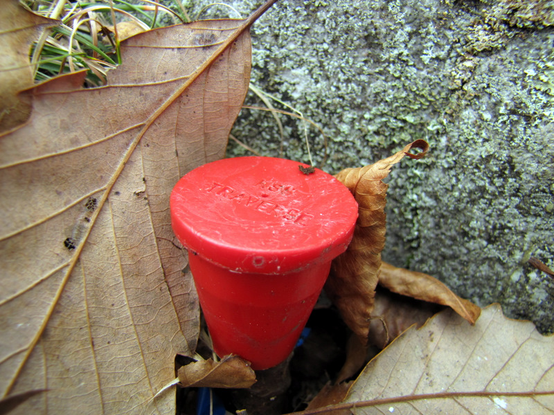 RSS Traverse? |
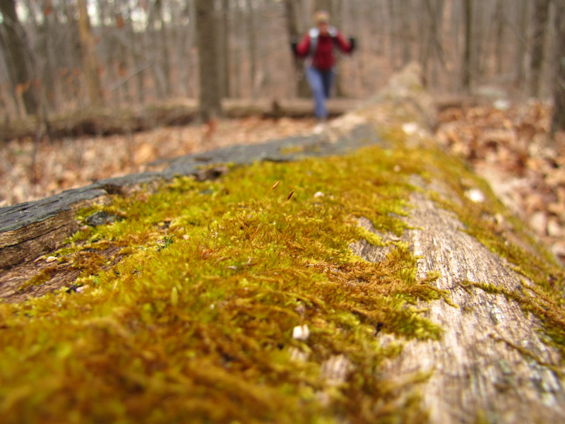
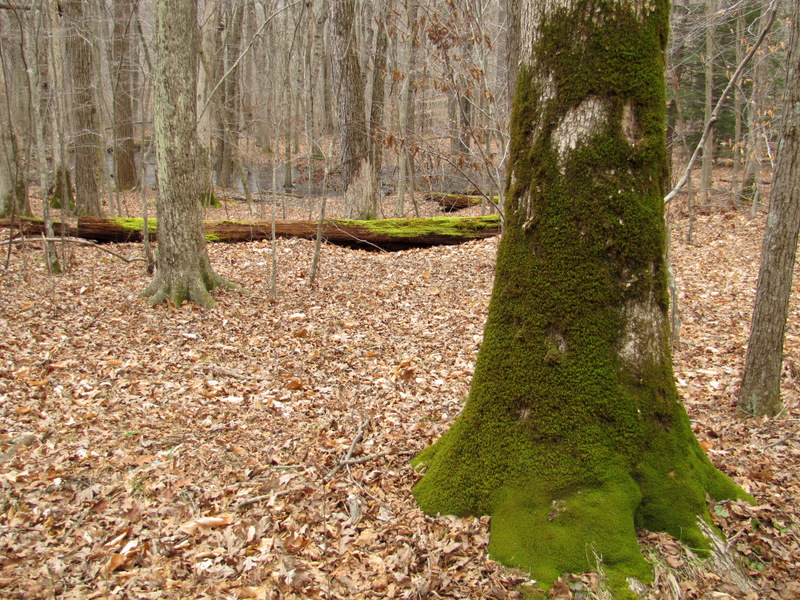
 Gorgeous moss |
 Moss close-up |
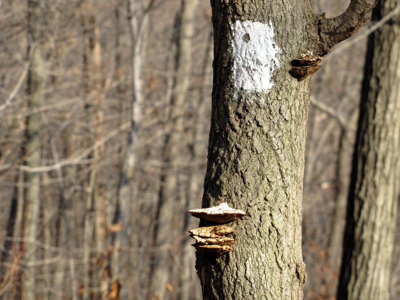
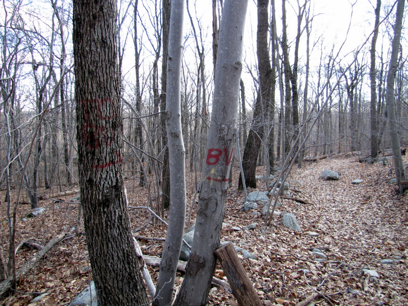
 Nature's graffiti |
 |
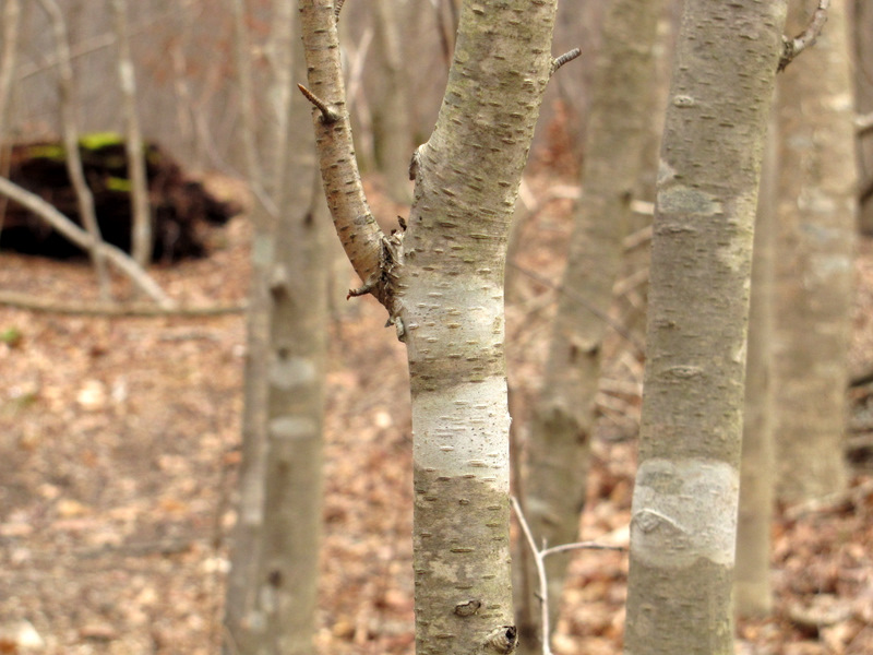
 Smooth Beech trunk |
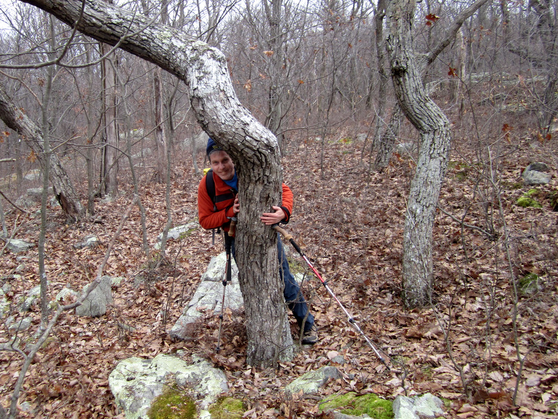 Tree hugger [photo by Laura] |
 |
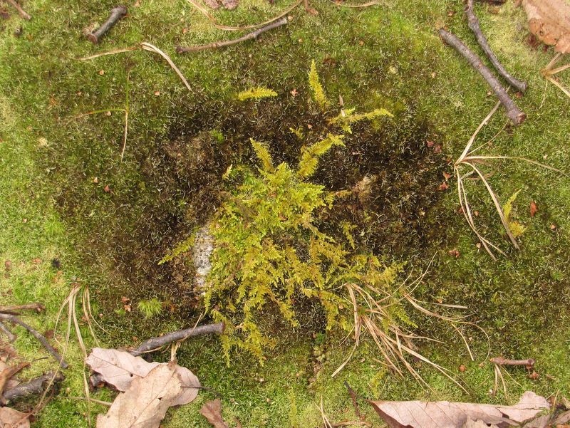 Moss art |
 |
 |
 Compton-Gobel Road |
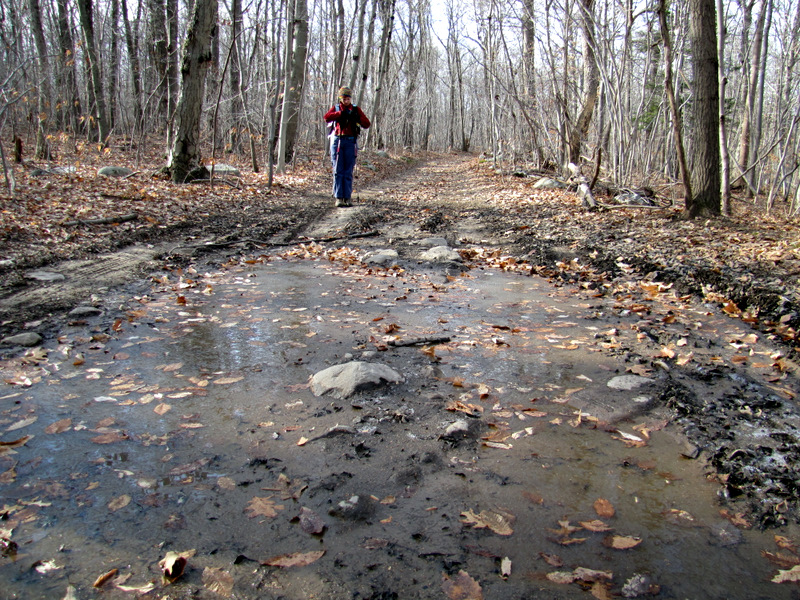 Thin ice |
 Heading east |
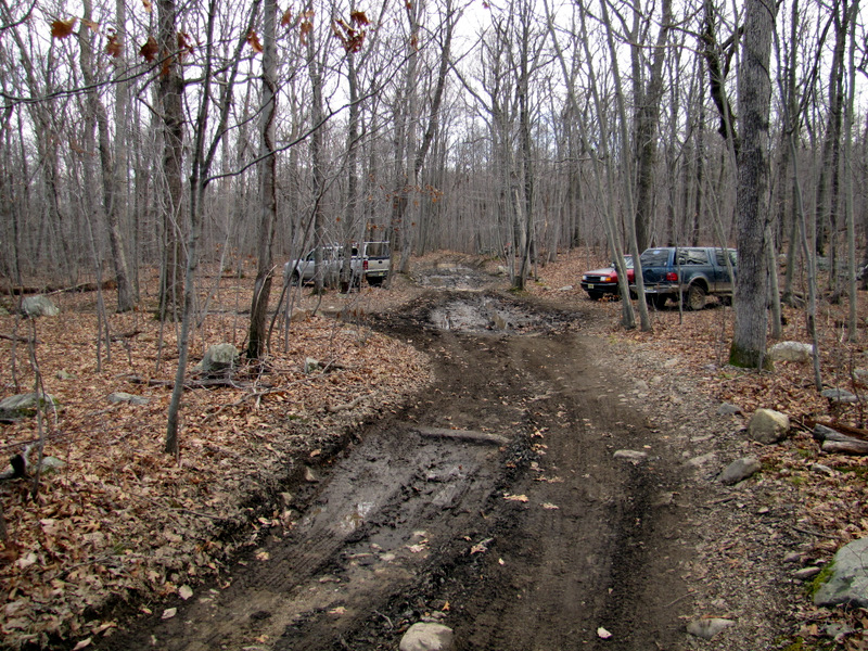
 Woods road to Berkshire Valley Road |
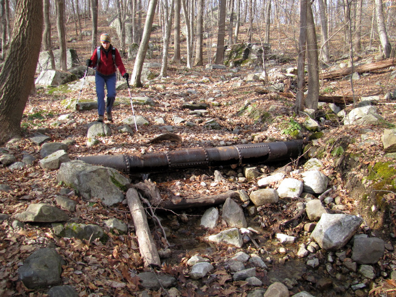 Very old pipe |
 Rocky descent |
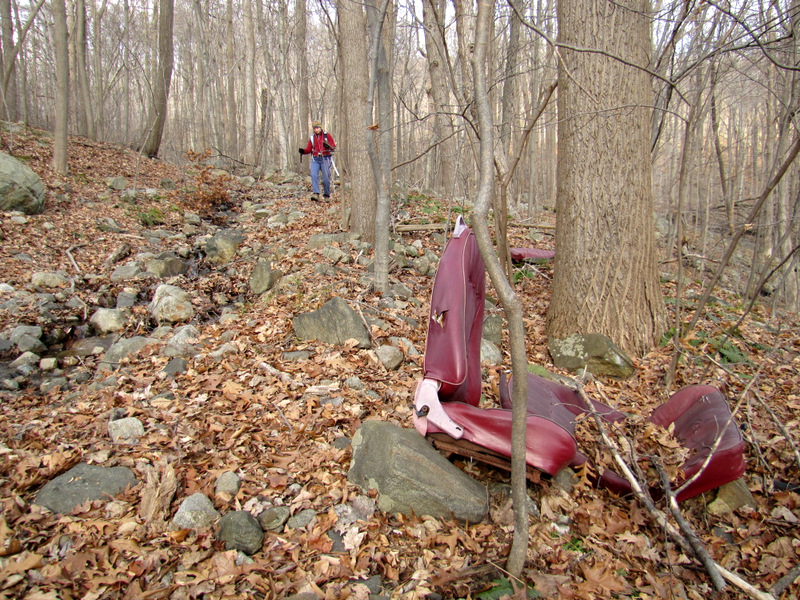 Car seats |
 Very eroded |
 Path erosion |
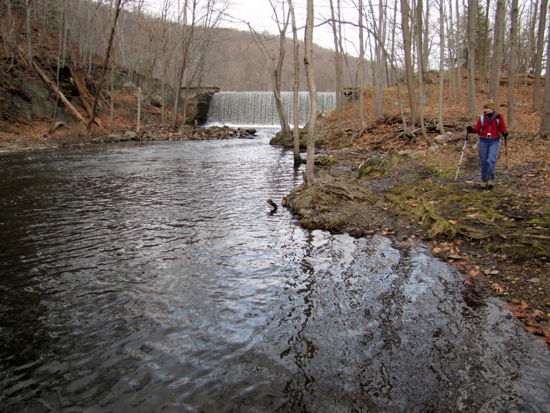
 Longwood Lake |
 Crossing Route 699 |
 |
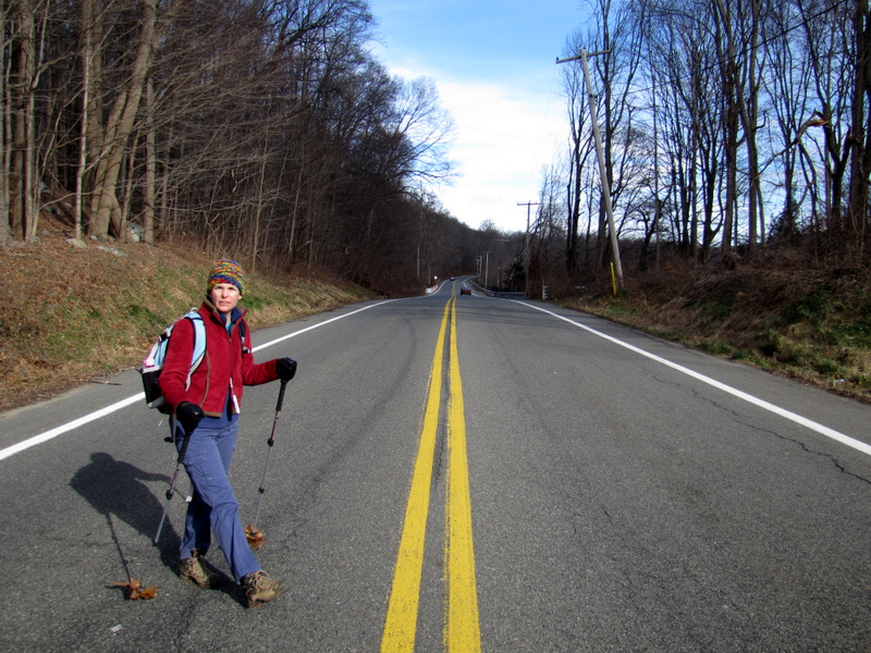
 On tiny Blue Road |
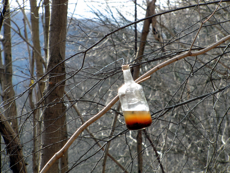 Huh? |
 [Photo by Laura] |
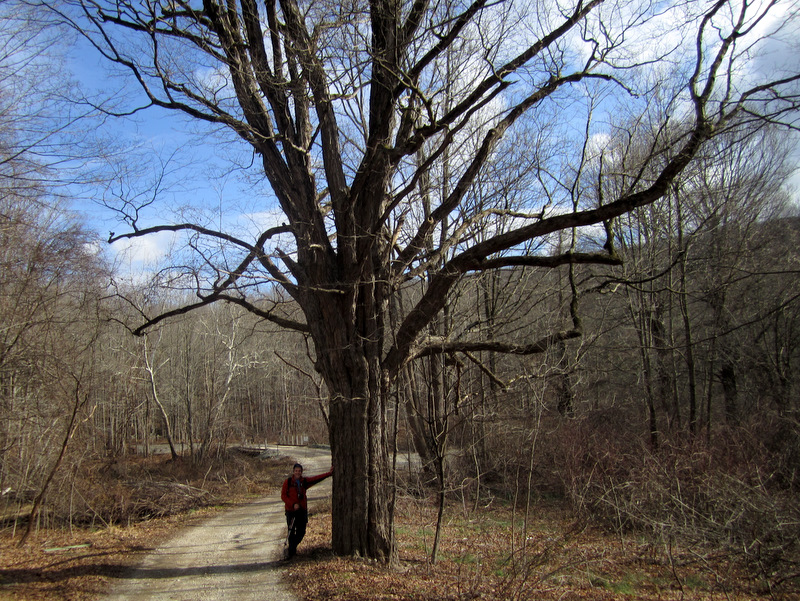
 Old growth on Blue Road |
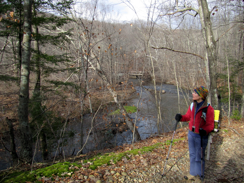
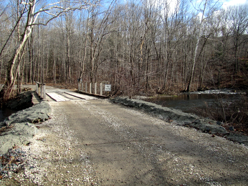 Bridge over Rockaway River |
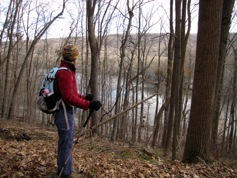
 View to Longwood Lake dam |
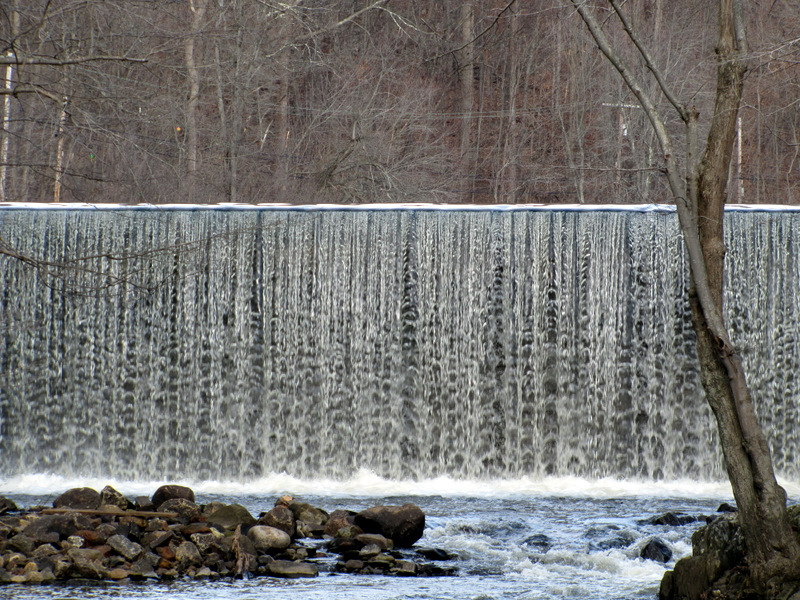 Dam waterfall |
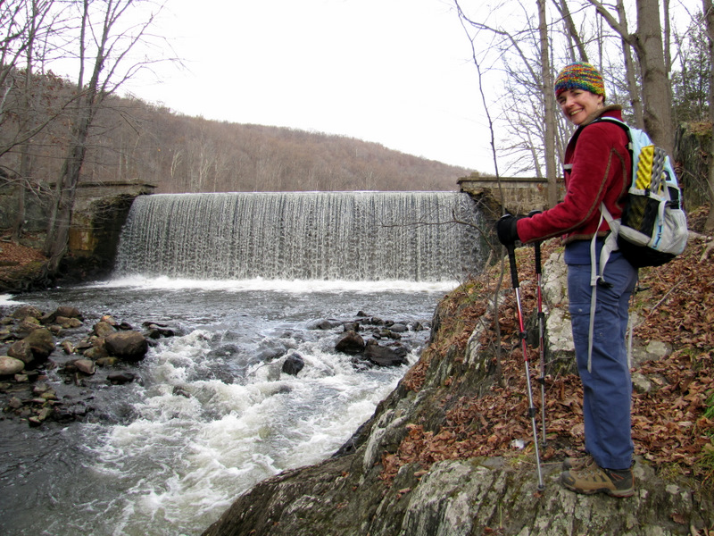
 Laura on bridge |
 Dam waterfall |
 |
 |
 Beginning of the Rockway River |
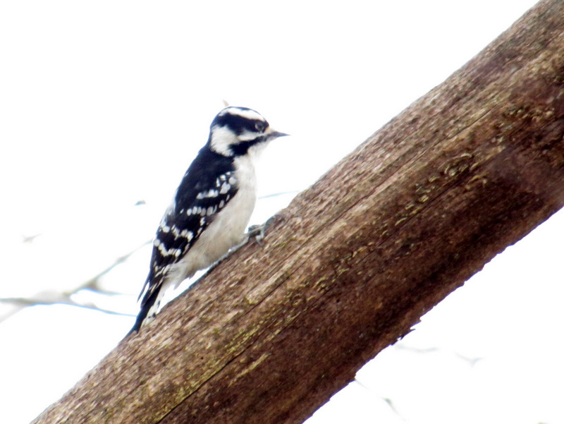 Downy woodpecker |
 Heading south |
 Parallel to river |
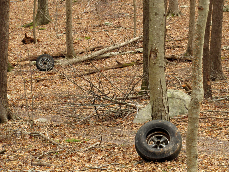 Abandoned tires |
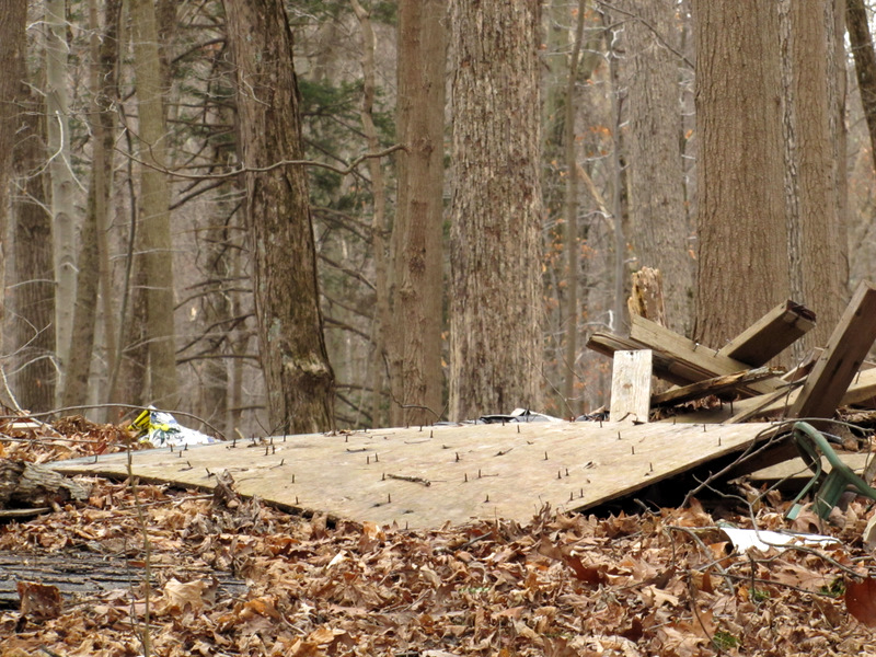 Demolished hunting blind |
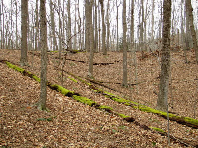 Moss |
 More moss |
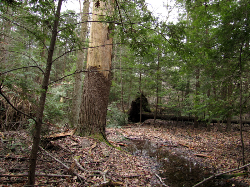
 Swamp moss |
 Swamp trees |
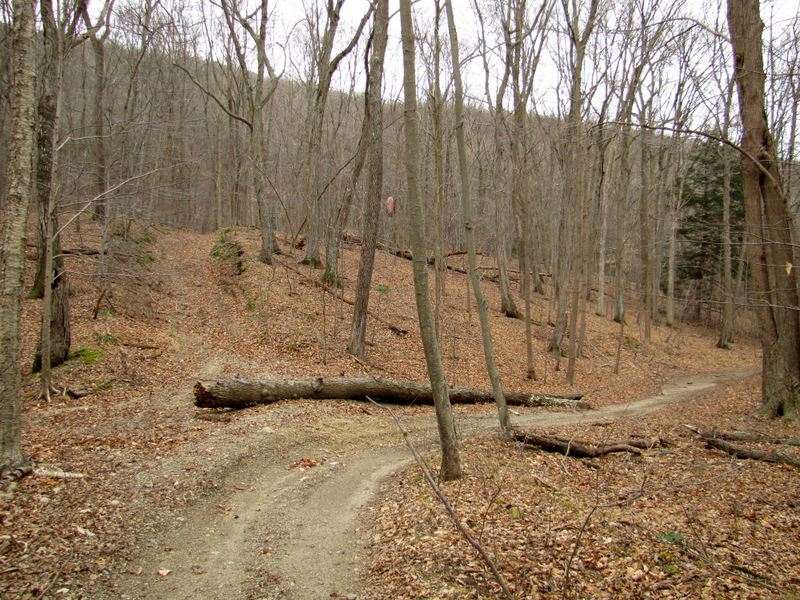 Lots of woods roads here |
 Rockaway River |
 |
 |
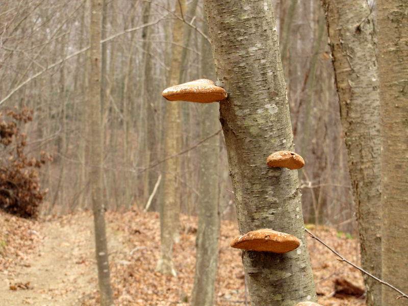 Mushrooms |
 Smooth Beech |
 View to Picatinny property |
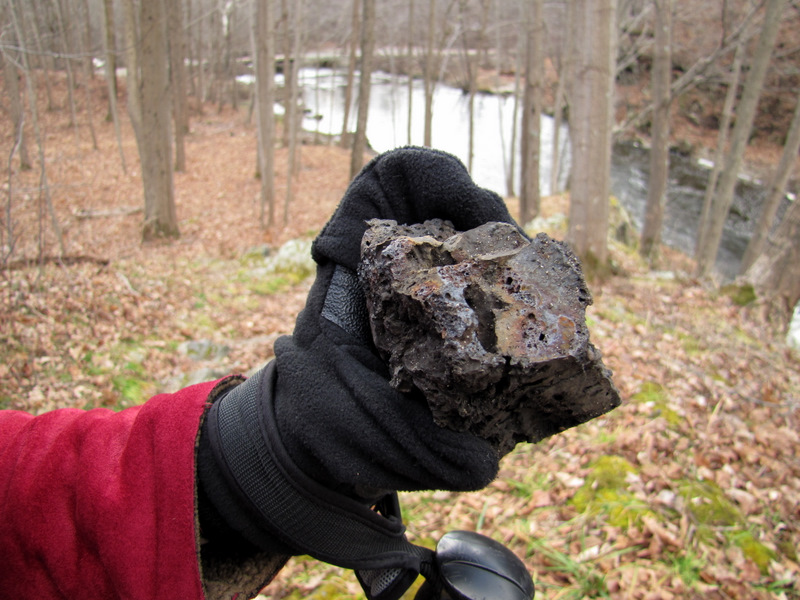
 Puddingstone |
 Careful! |
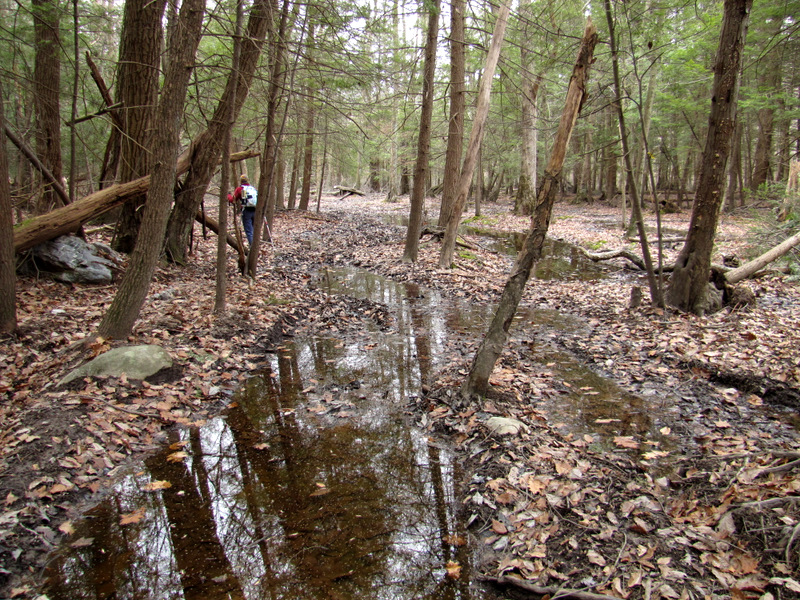 Very wet road |
 |
 Late fall greens |
 We climbed that mountain earlier |
 |
 Our SUV in the distance |

|
|
Photographs and content copyright © Dan Balogh Web design by Dan Balogh |