 |
|
We hiked up to Agony Grind way back in early 2008 when we parked at the Elk Pen in Harriman. This time we
approached it from the north, taking the Sapphire Trail along its entire extent. We still had to climb the mountain but it was much more gradual than last time when
we approached the vista from the south.
We parked in the huge Harriman Railroad station lot on Route 17. The trailhead for the Sapphire trail is across the street, which requires walking up the entrance ramp and crossing a relatively unbusy Route 17. We entered the woods and headed south, climbing the ridge eventually reaching the Appalachian Trail which we took east to the amazing vista at Agony Grind before heading back to the Sapphire Trail and returning north. But instead of taking it all the way back, we took a woods road east and then north, paralleling Route 17 from above (the noise from the NY Thruway was louder than the relatively lightly-used Route 17). This woods road had a few blow-downs that were easily navigated. It also contained the ruins of a concrete bridge over a stream. I assume a mine had been here since there was a huge pile of tailings at one point. The road, interestingly, was of deteriorating asphalt, so the activities that took place along this road had to be more recent than what we usually encounter in the woods. Total distance hiked today was 5.7 miles in 3 hours and 15 minutes.
|
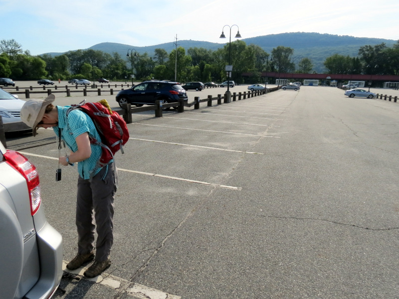 Huge RR parking lot |
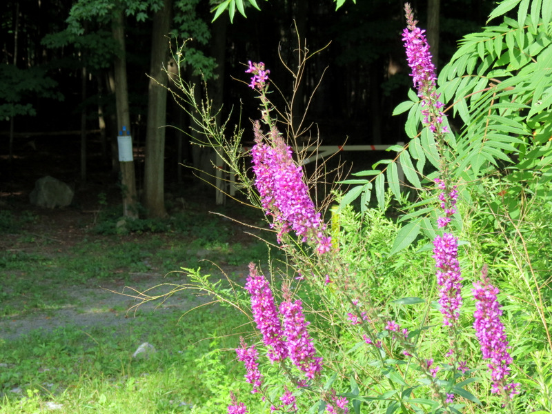 Wildflowers at trail head |
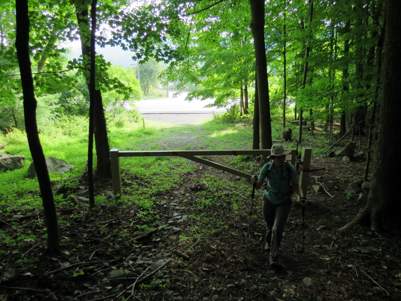
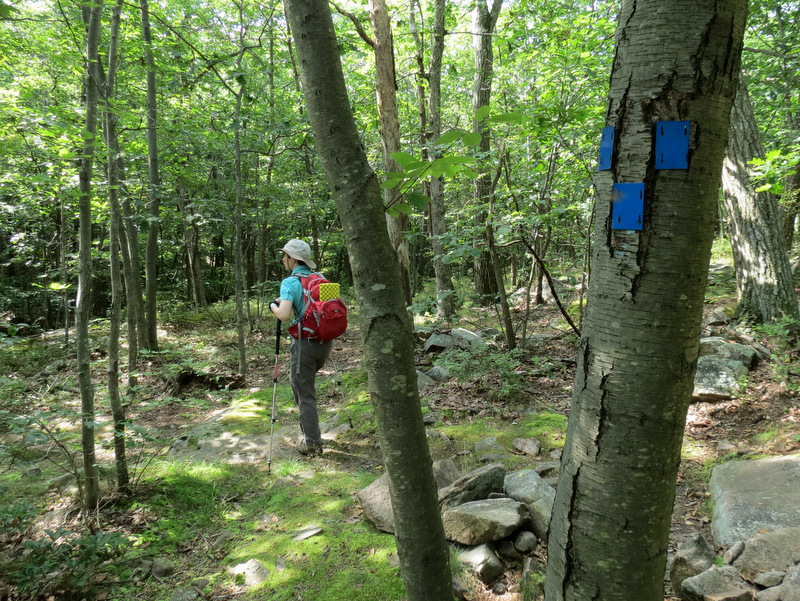
 Northern trail head ... |
 ... of Sapphire |
 |
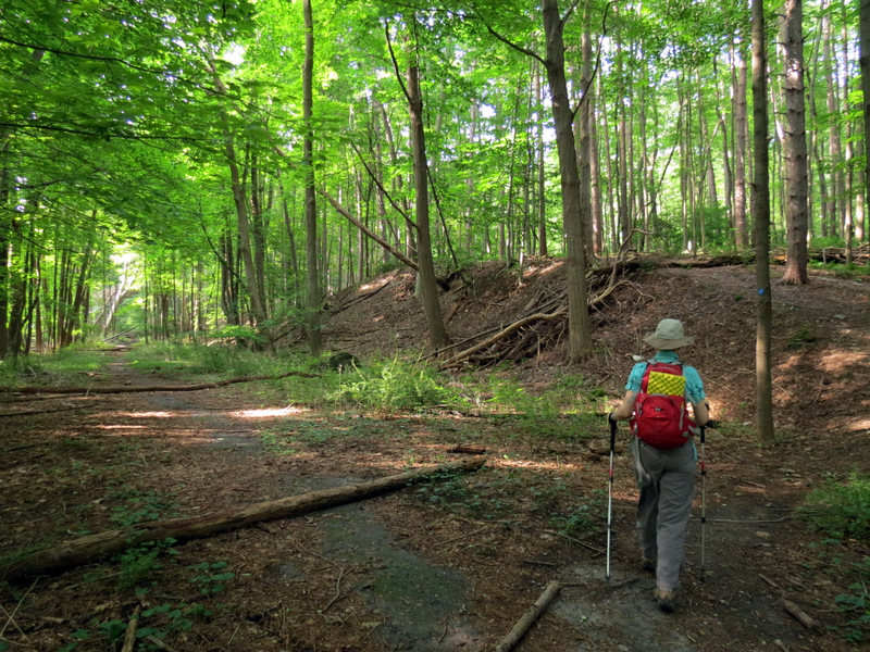 We will return on woods road to left |
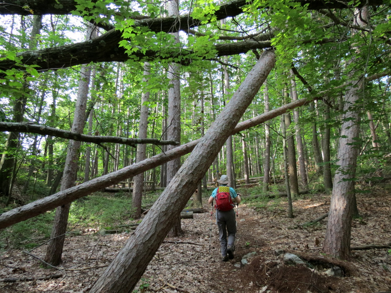
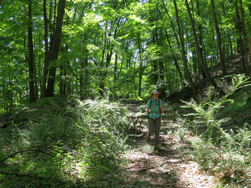
 Climbing begins |
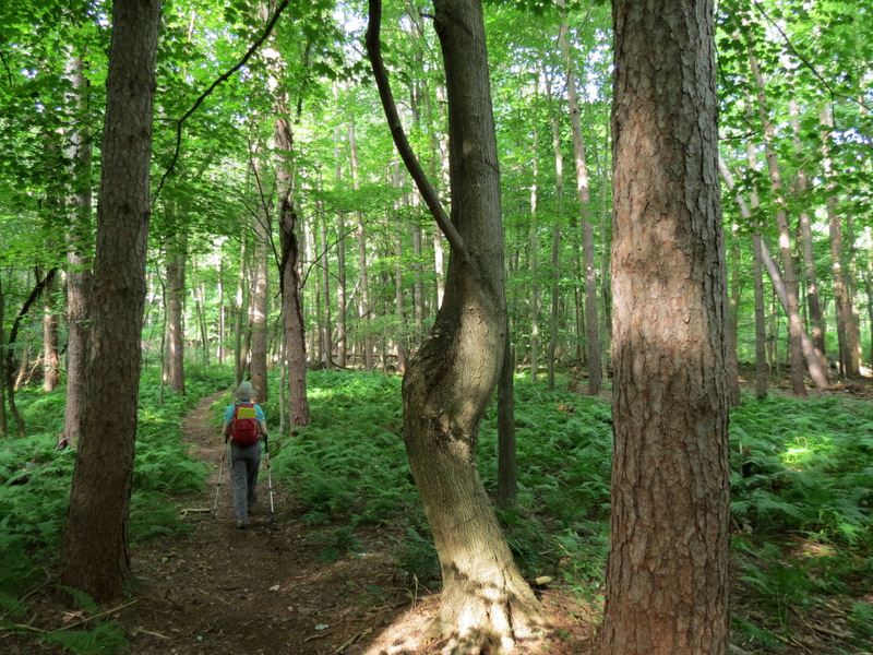
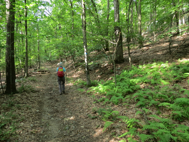
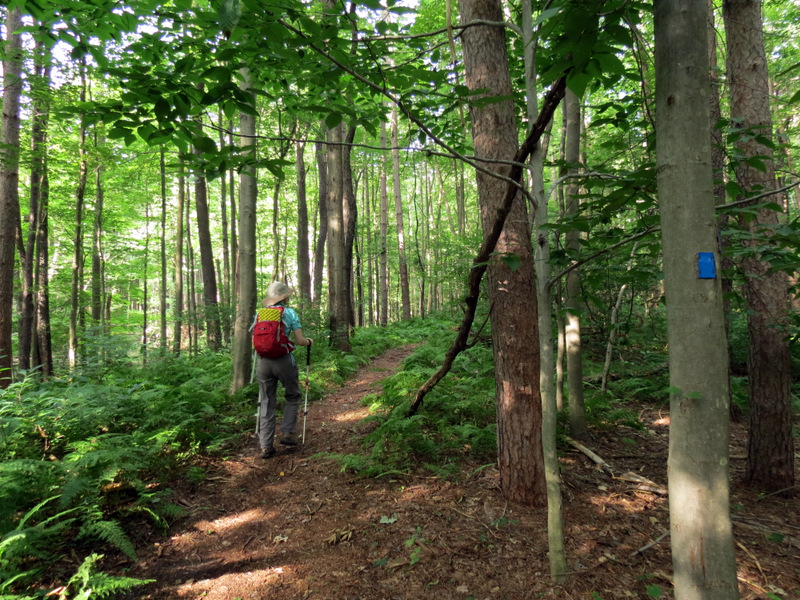 Gorgeous path through ... |
 ... pines and ferns |
 |
 |
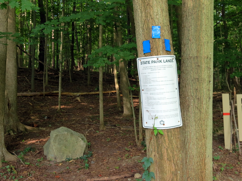
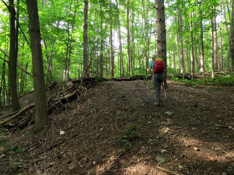
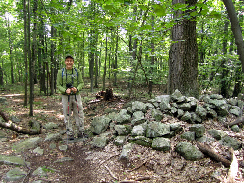
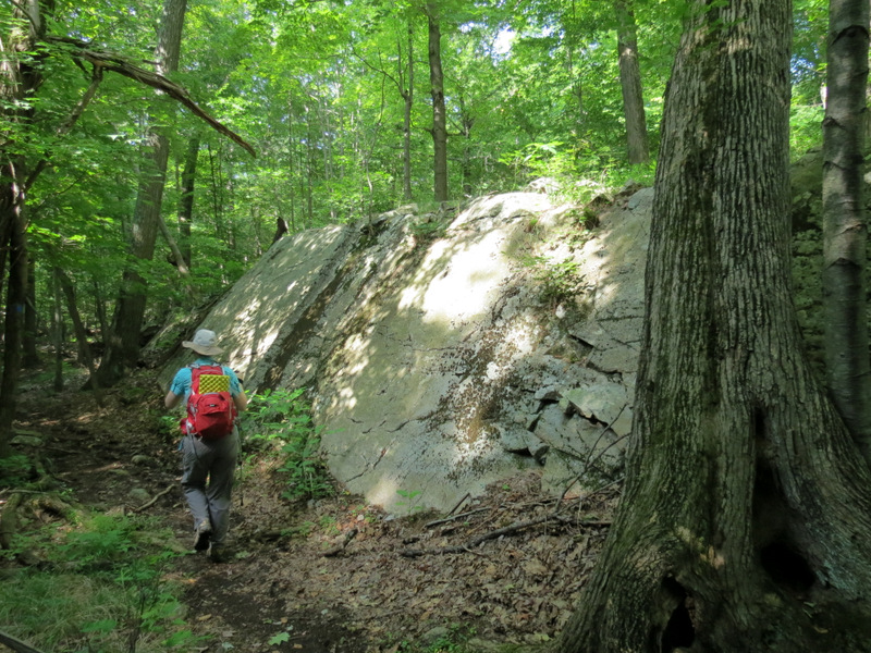
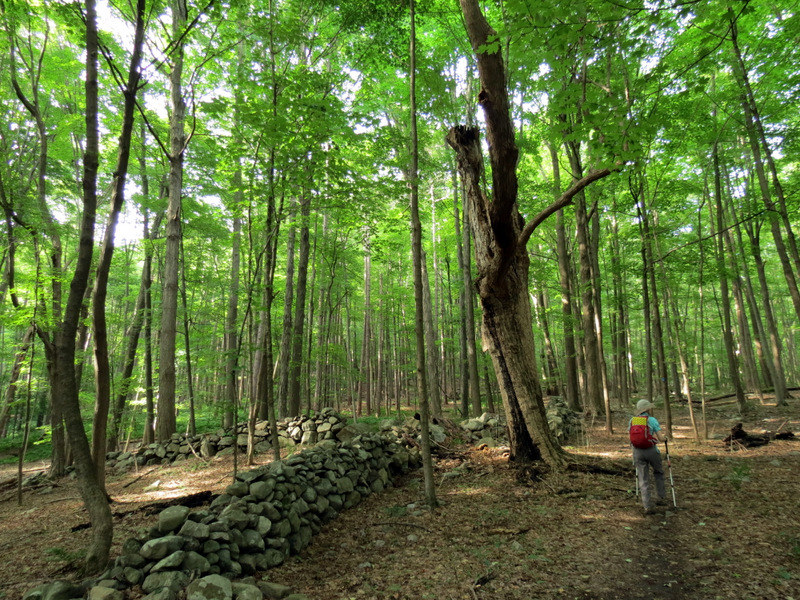 First boundary wall |
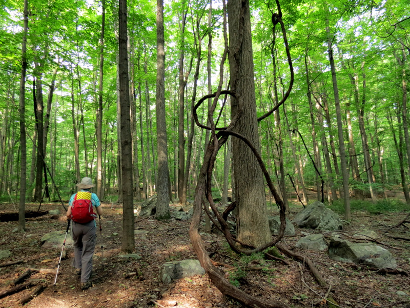 Twisty tree |
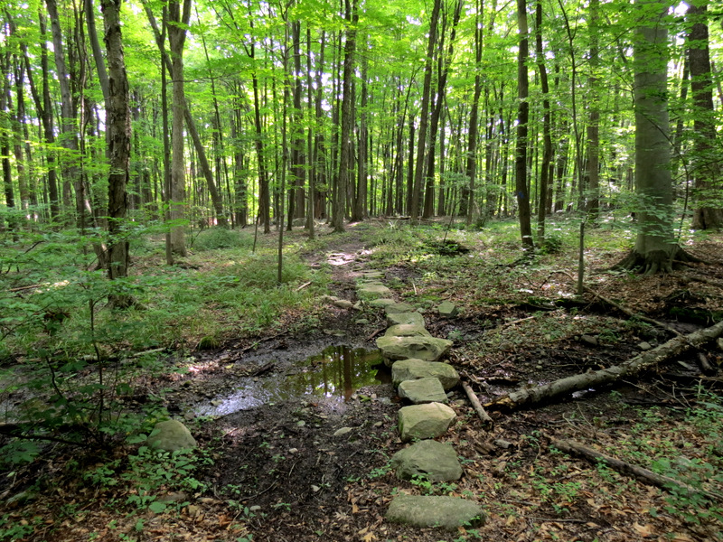 Rock bridge ... |
 ... through wet area |
 [Photo by Laura] |
 More ... |
 ... boundary walls |
 [Photo by Laura] |
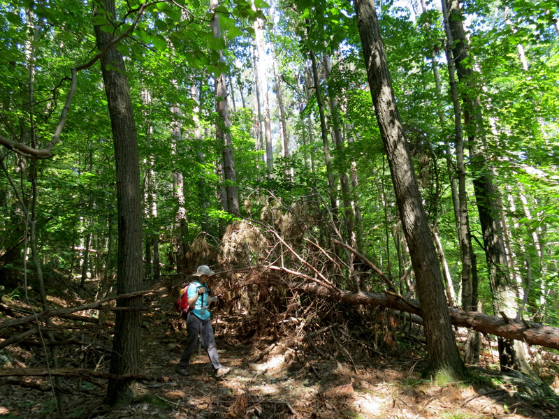
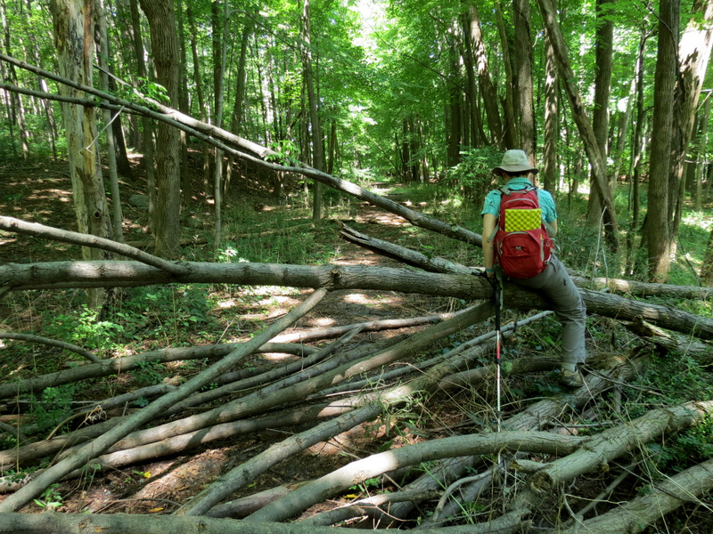
 Sandy blow-downs |
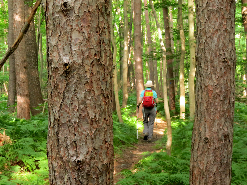
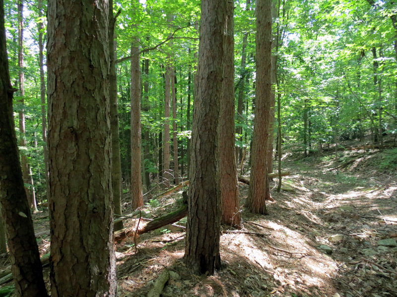
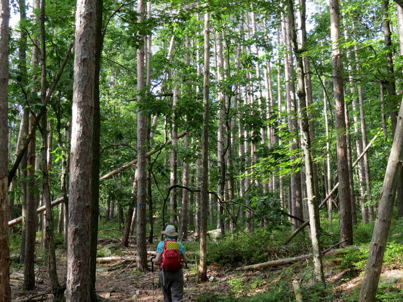 Pine plantation |
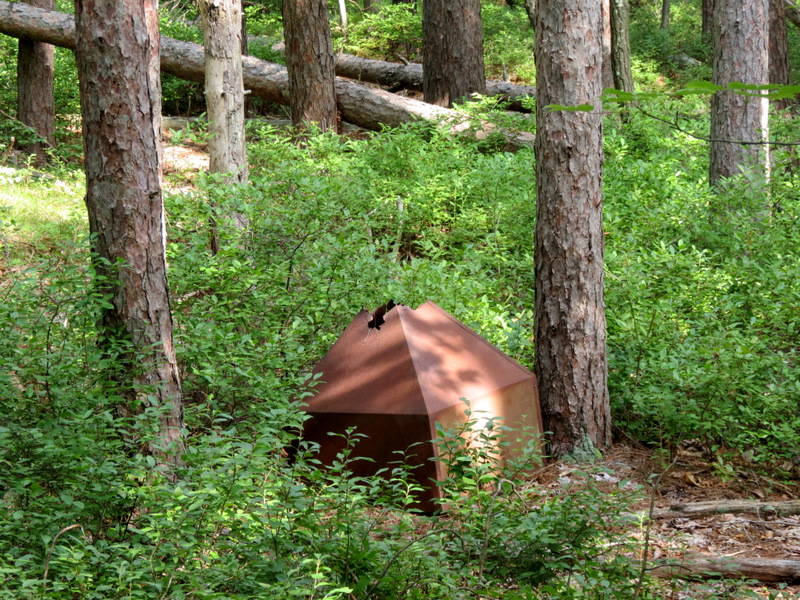 Refuse from past |
 Mountain Laurel thicket |
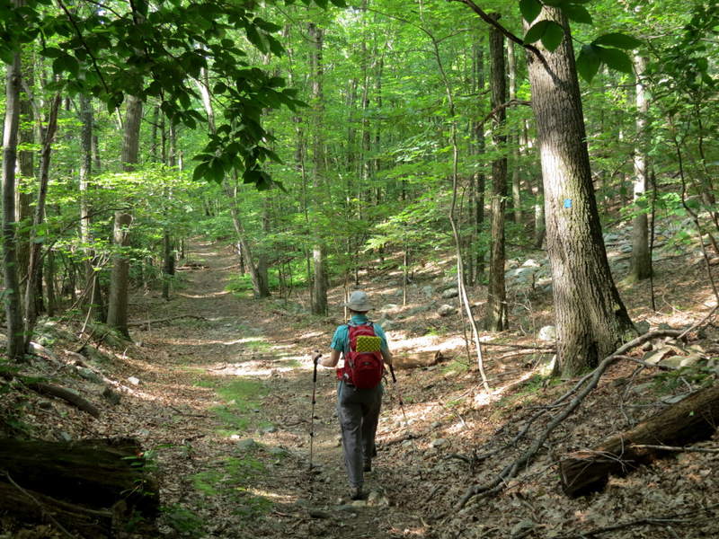 Sapphire now follows woods road |
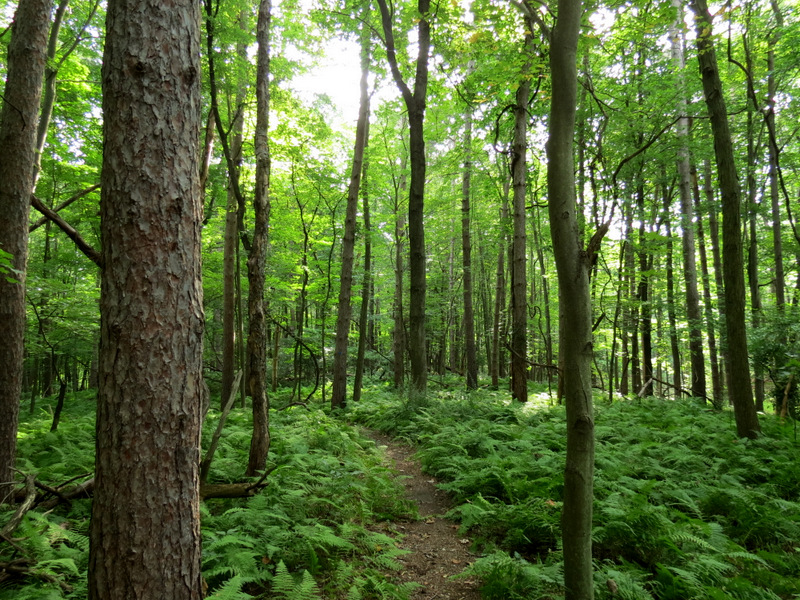
 More ferns |
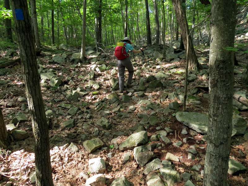
 Signs of struggle |
 Path mushroom |
 |
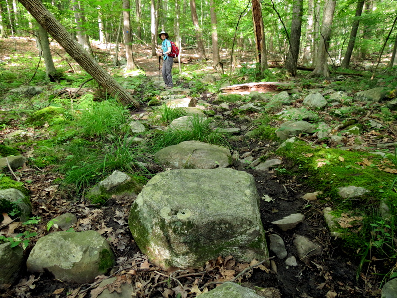
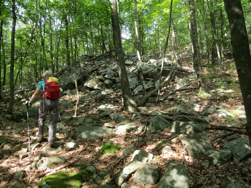
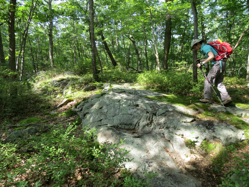
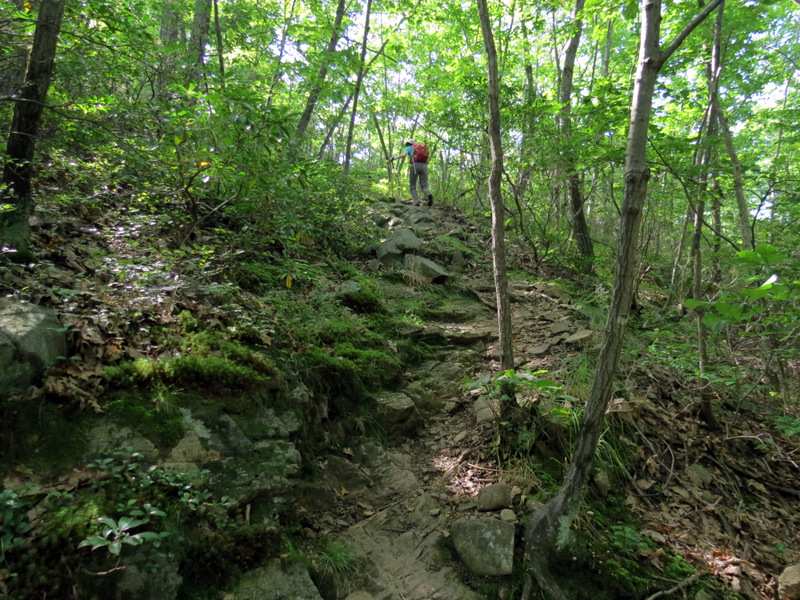
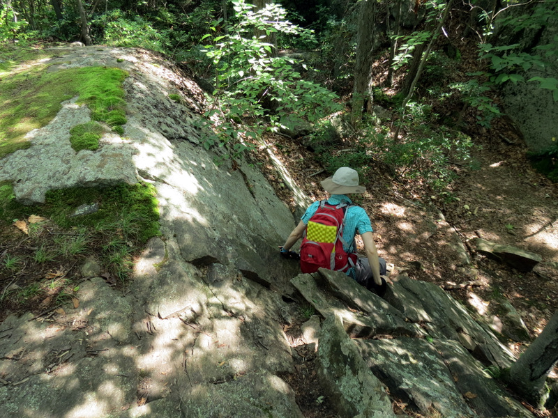
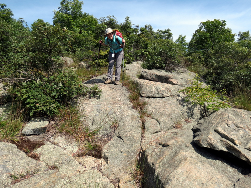
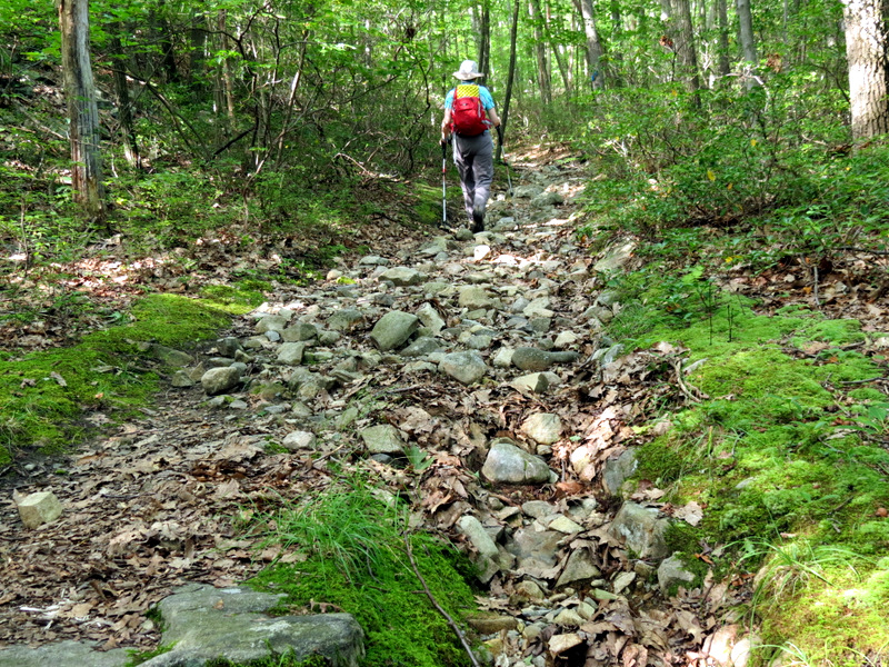 A very ... |
 ... rocky ascent |
 |
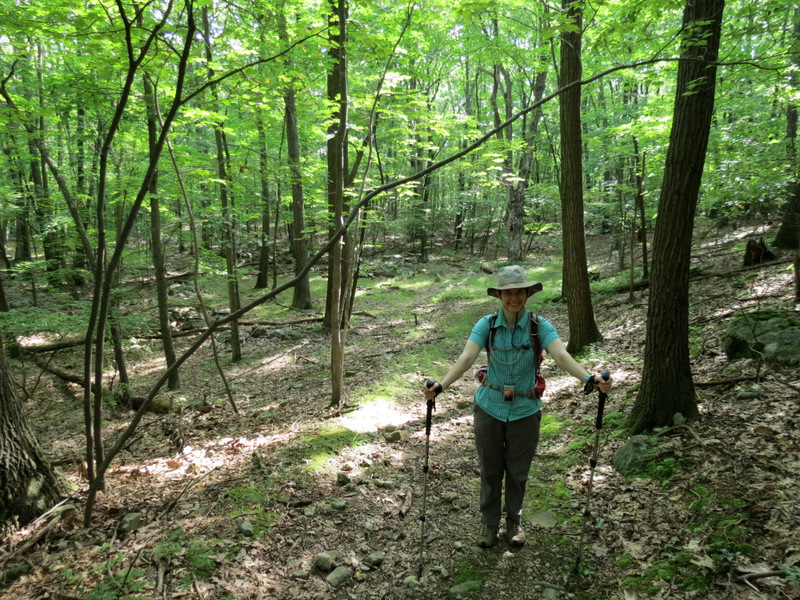
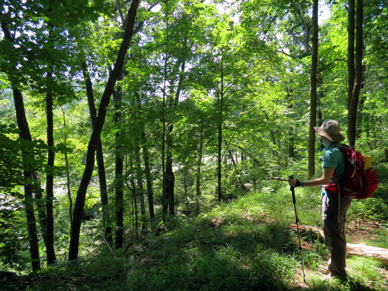
 Laura below |
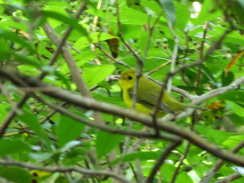 Blurry female Hooded Warbler |
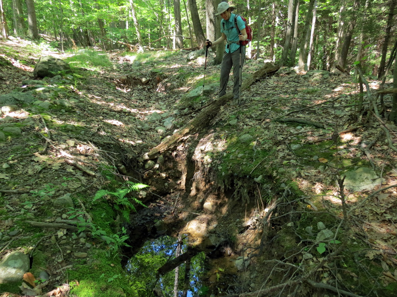
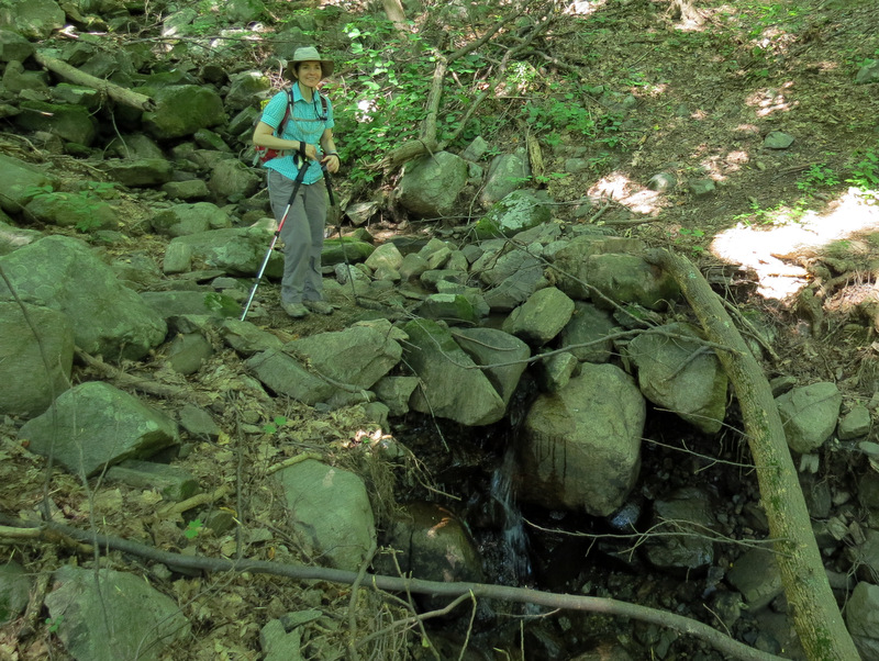
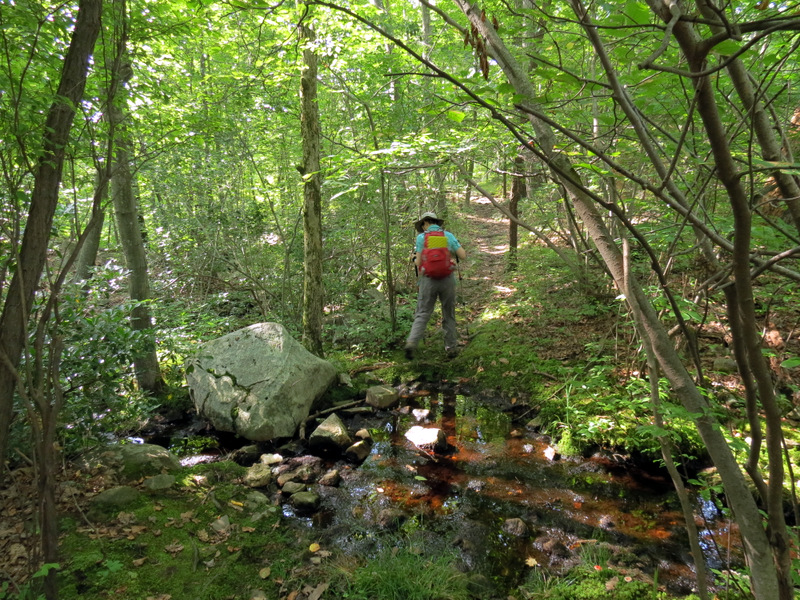 Stream crossing |
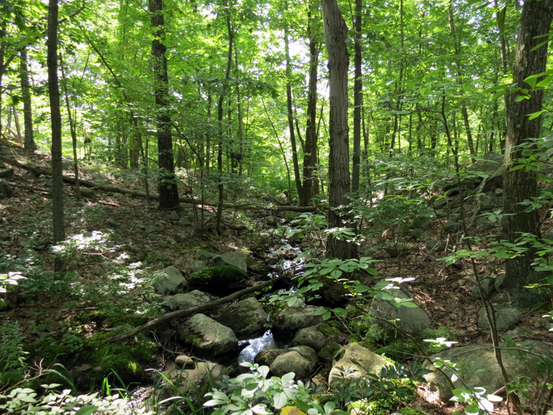 Stream |
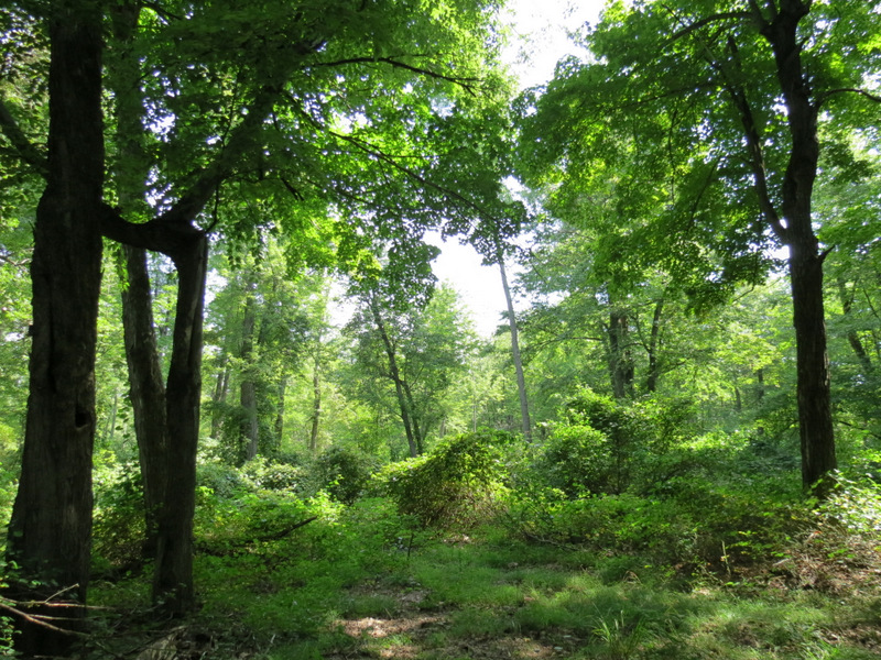 Lush greens on ridge |
 |
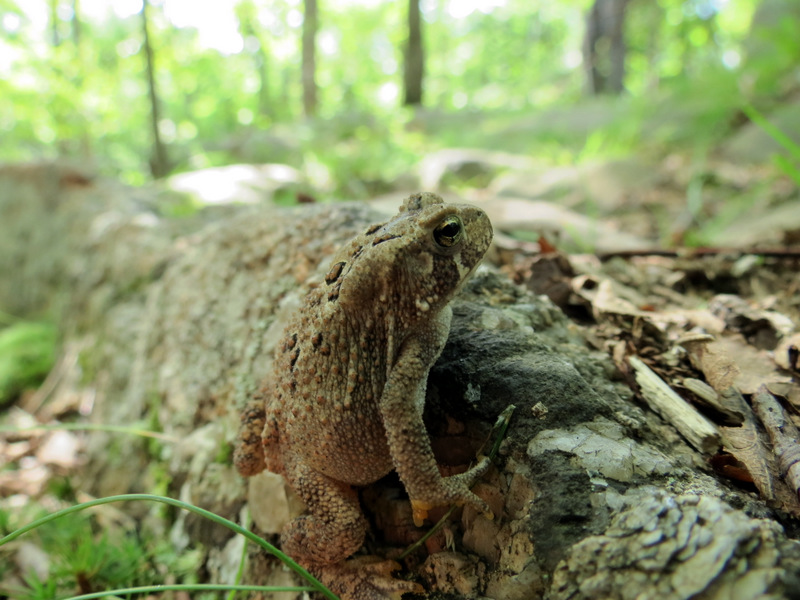 Tiny toad |
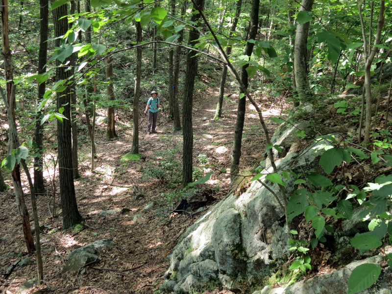
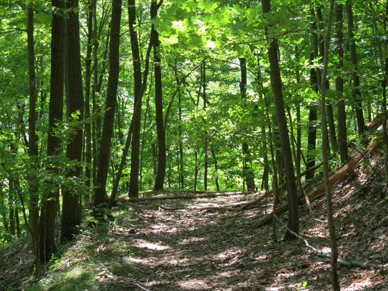
 Trail following ridge |
 Mushroom |
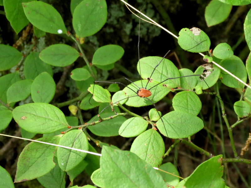 Daddy Long Legs |
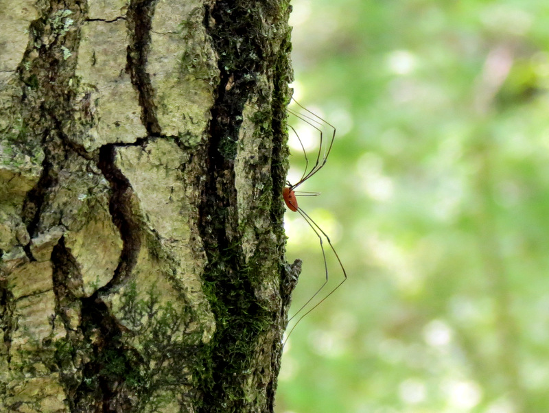 Side view |
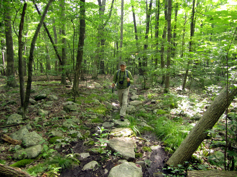
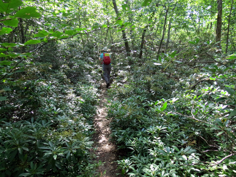
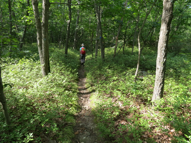 Trail narrows |
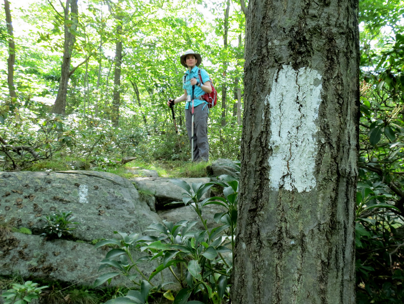
 End of Sapphire |
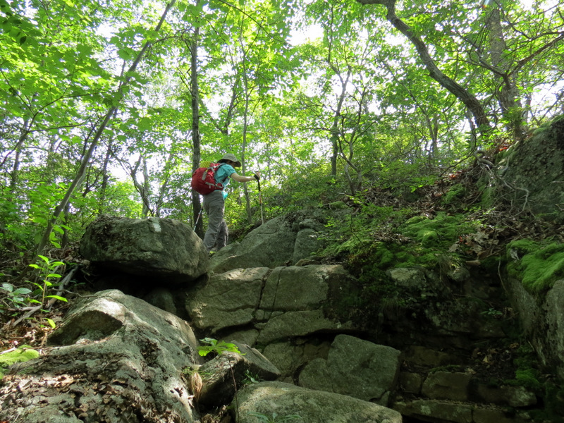
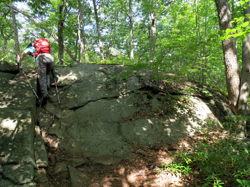
 Climbing on the ... |
 ... Appalachian Trail |
 AT Mountain Laurel |
 Careful descent |
 Then an ascent |
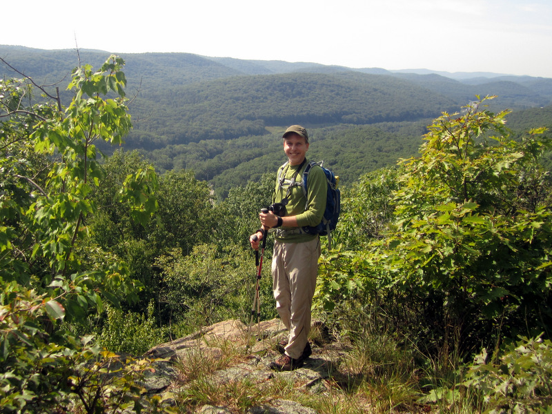
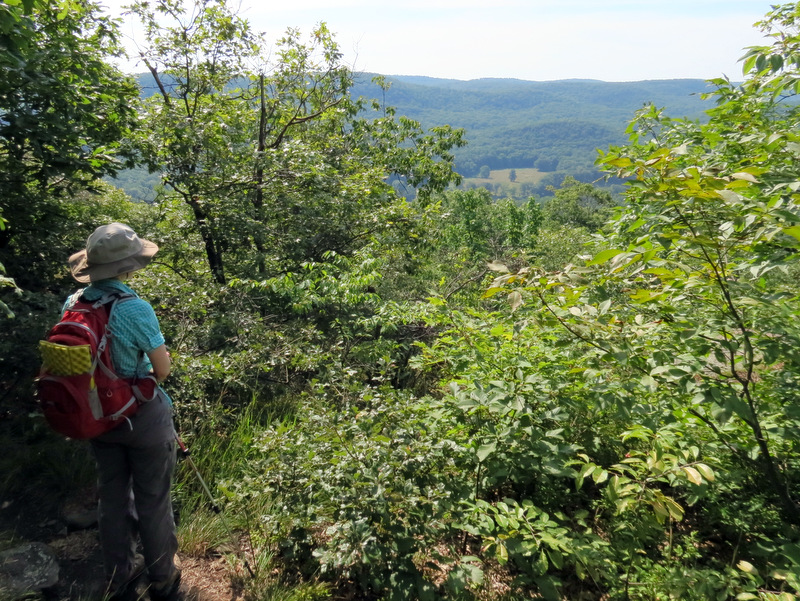 First views |
 View south |
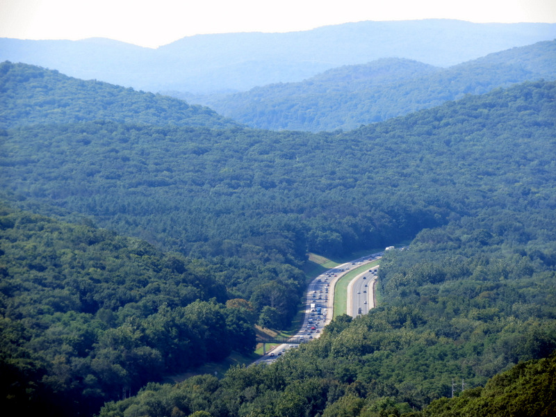 NY Thruway below |
 Surrounding hills of Harriman |
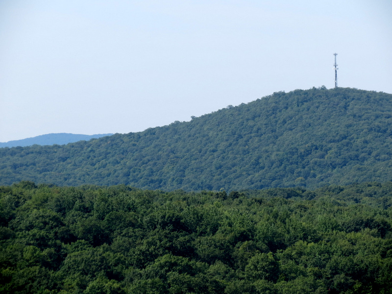 Tower in Sterling Forest |
 [Photo by Laura] |
 |
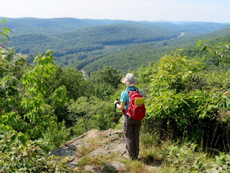
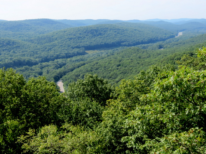
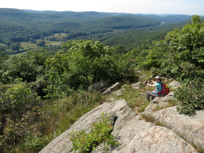 Expansive view ... |
 ... from Agony Grind |
 Grasshopper camouflaged |
 What a view! |
 Heading back ... |
 ... on AT |
 Green on Sapphire |
 A messy woods road |
 Sandy blow-downs along way |
 Pines on woods road |
 Gully is home ... |
 ... to frogs |
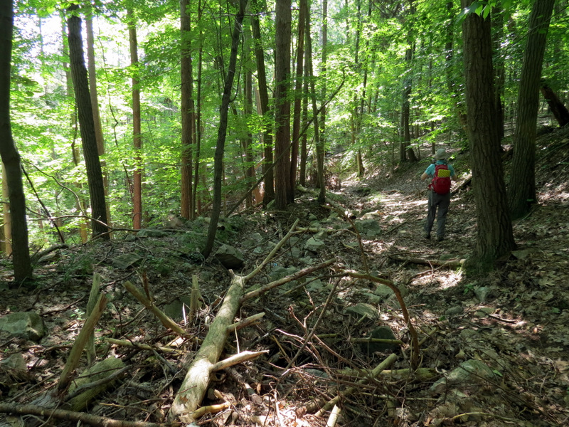
 Green on woods road |
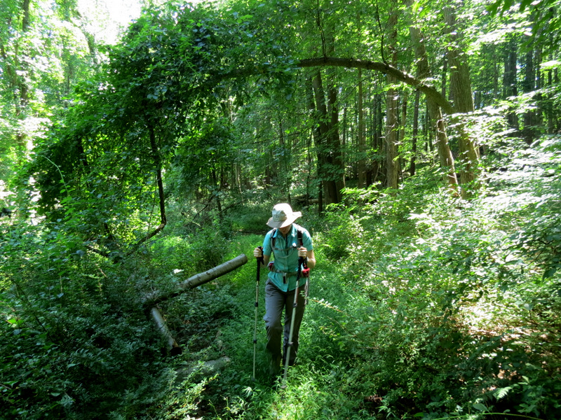
 A bit overgrown in parts |
 Cascade at ... |
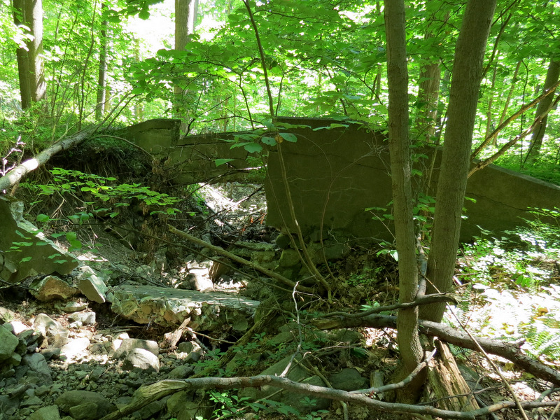 ... abandoned bridge |
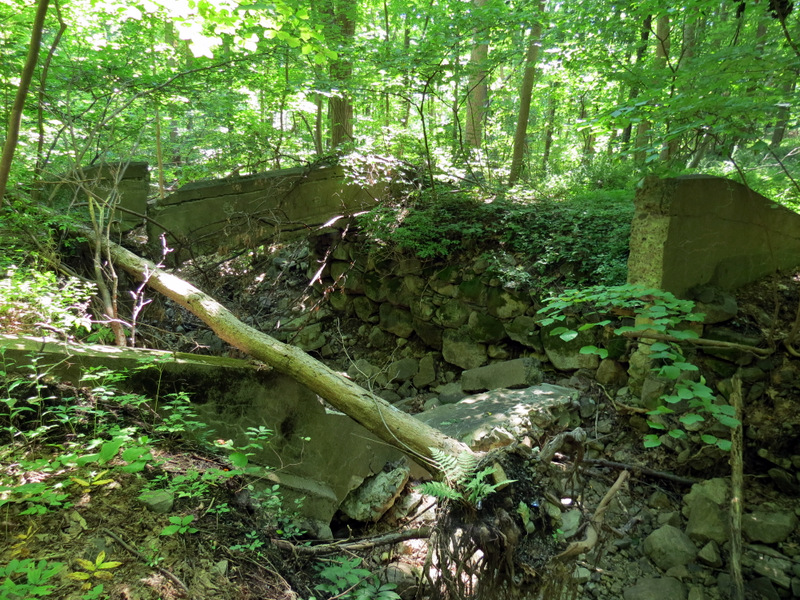 Another view of bridge |
 Through the trees ... |
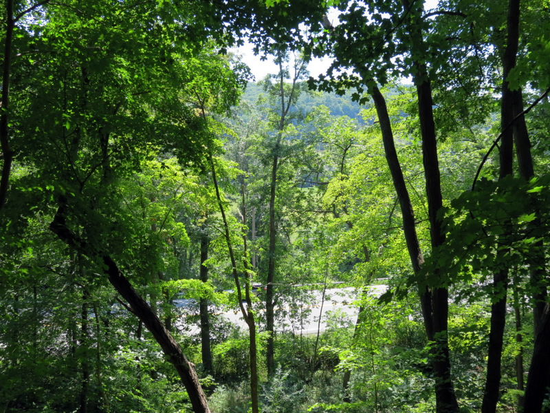 ... Route 17 |
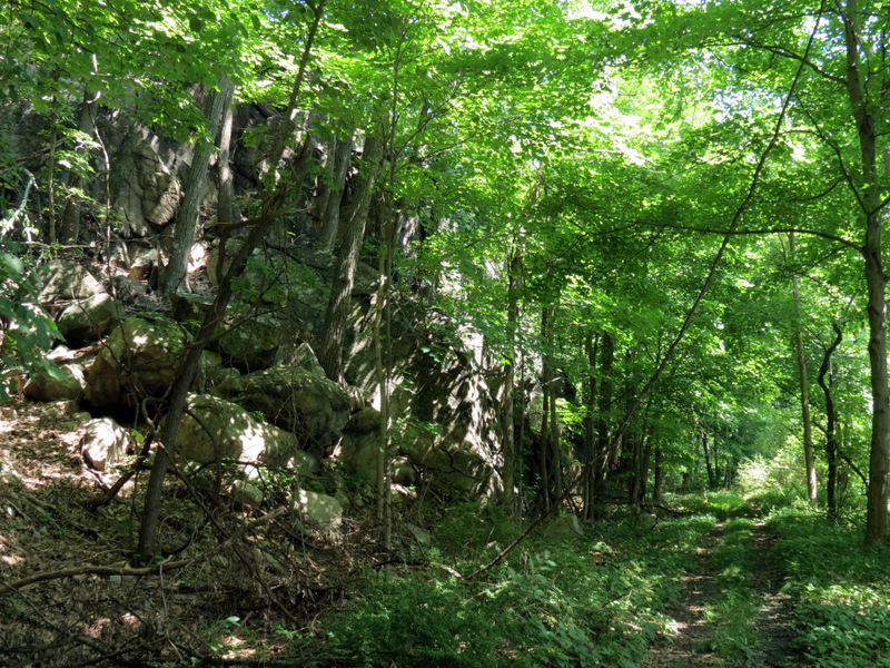 Seems like a rail trail here |
 Path is asphalt |
 |
 Blow-down hopping |
 Back to car |

|
|
Photographs and content copyright © Dan Balogh Web design by Dan Balogh |