 |
|
Today we planned on visiting four areas around and near Budd Lake. Two of them panned out. Using
this map, obtained from the official Mt. Olive website, we parked in a pull-off
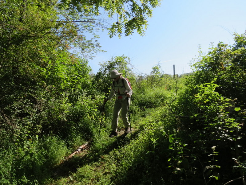
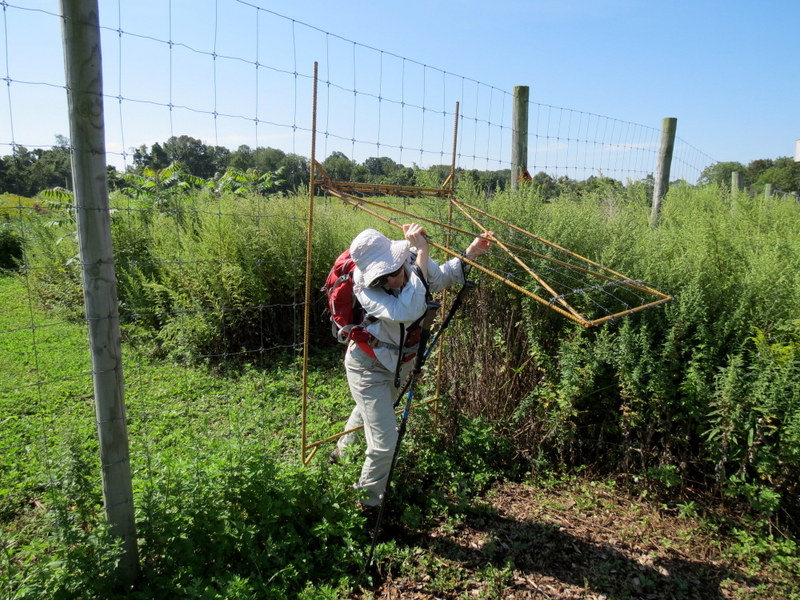
on Sand Shore Road, planning on hiking the various unblazed trails in Budd Lake Bog Preserve. There was a overgrown woods road from the pull-off that didn't go for
more than 1/20th of a mile. After 15 minutes of going back and forth, we gave up. Next I looked for the trail to the vista point over the lake, but could find no
parking and no trail on the western side of the lake. So, we headed to the first of the remaining two places, and both were excellent.
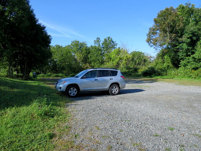
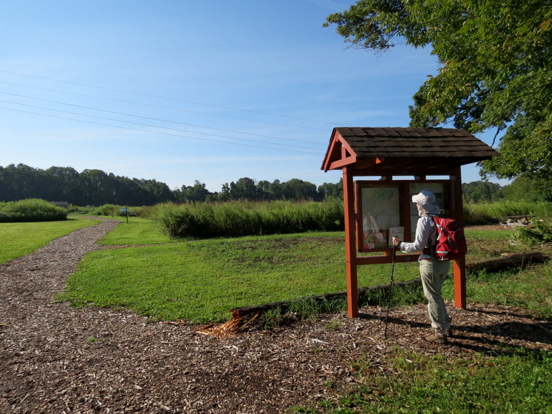
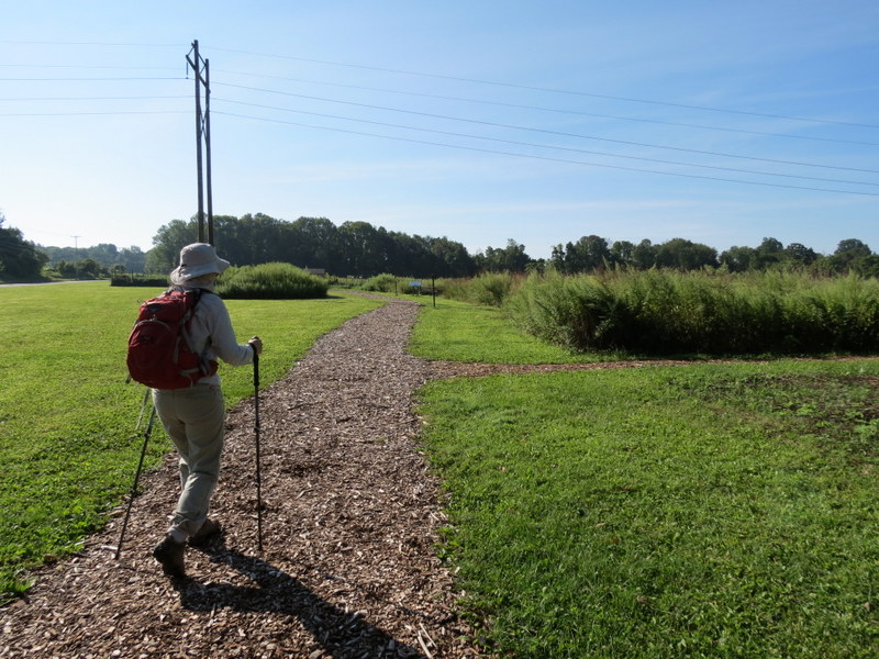
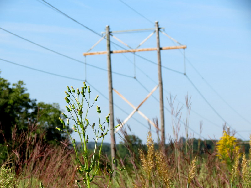
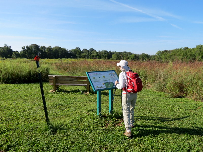
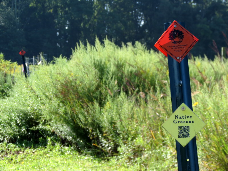
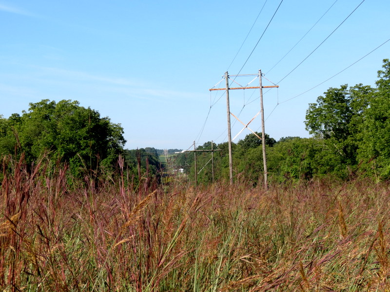
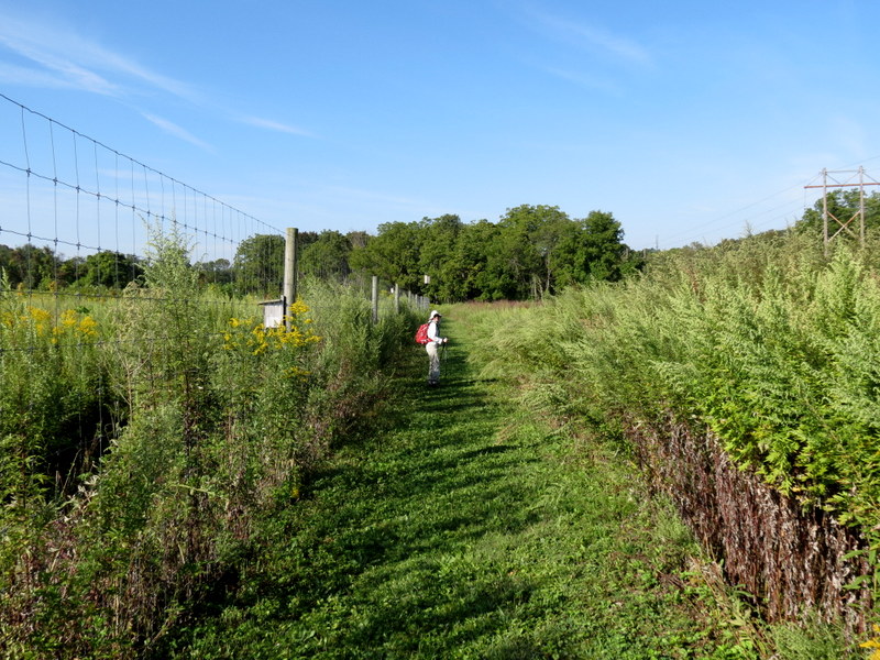
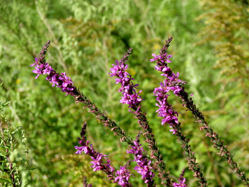
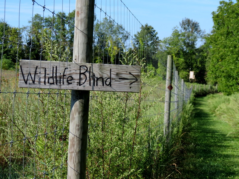
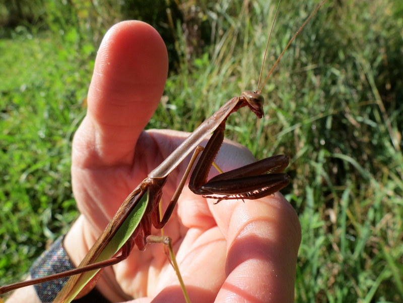
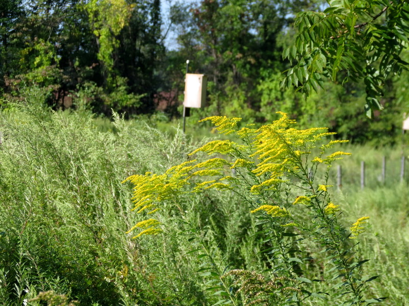
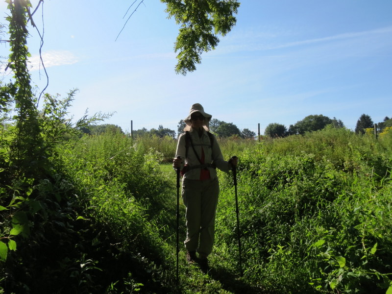
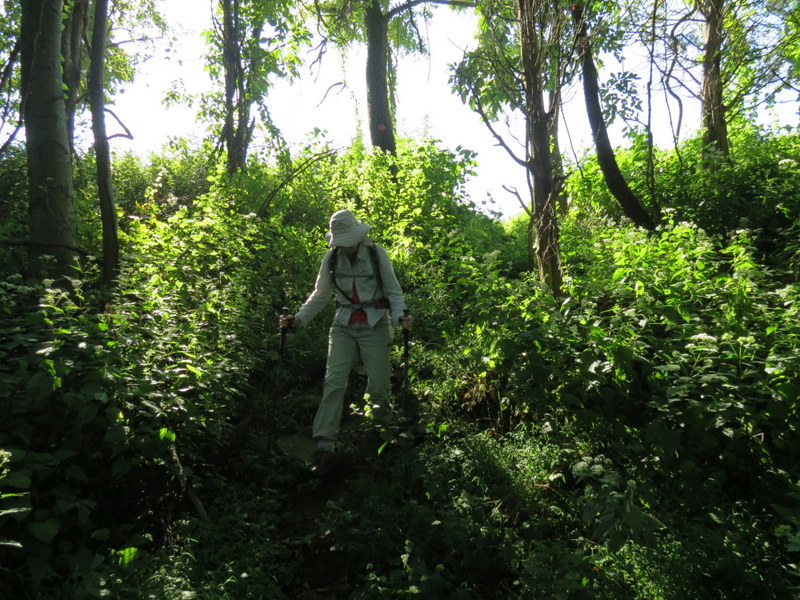
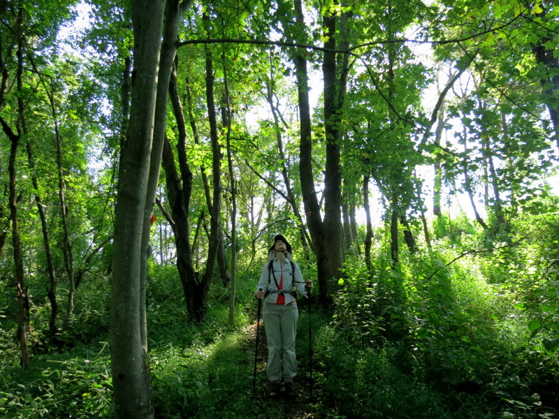
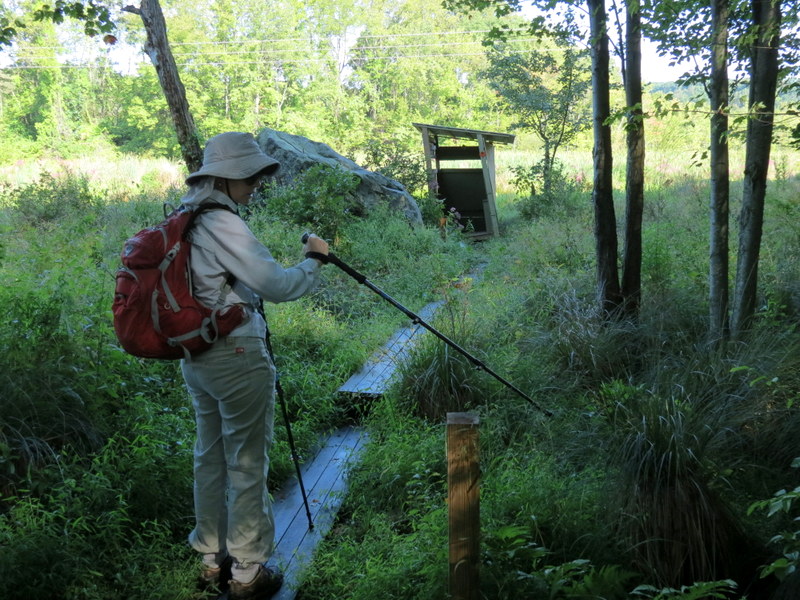
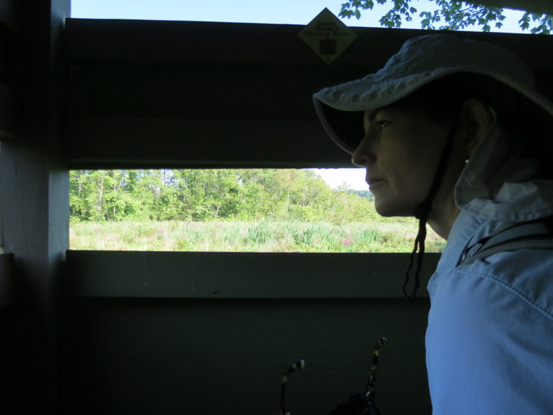
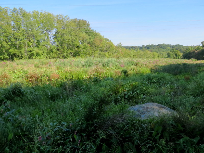
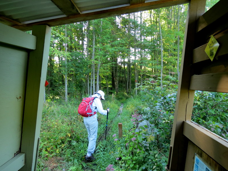
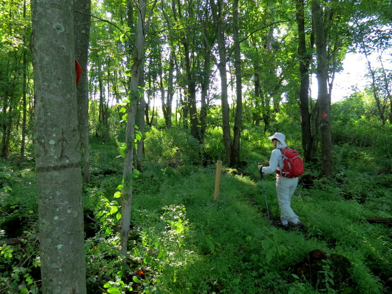
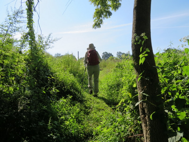
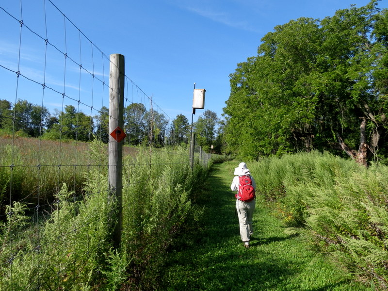
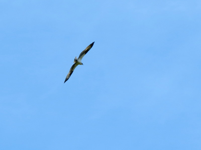
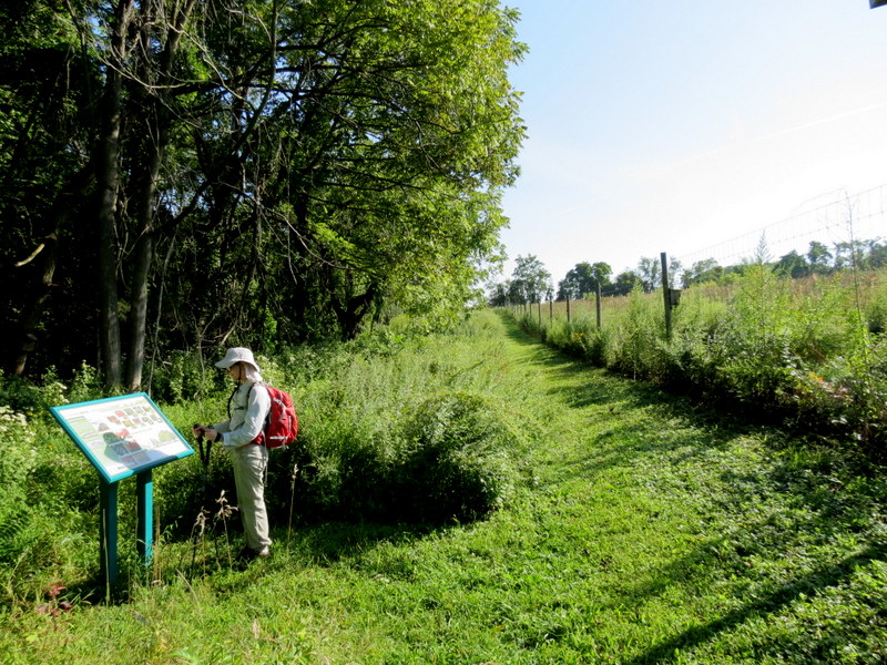
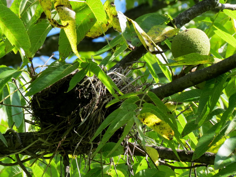
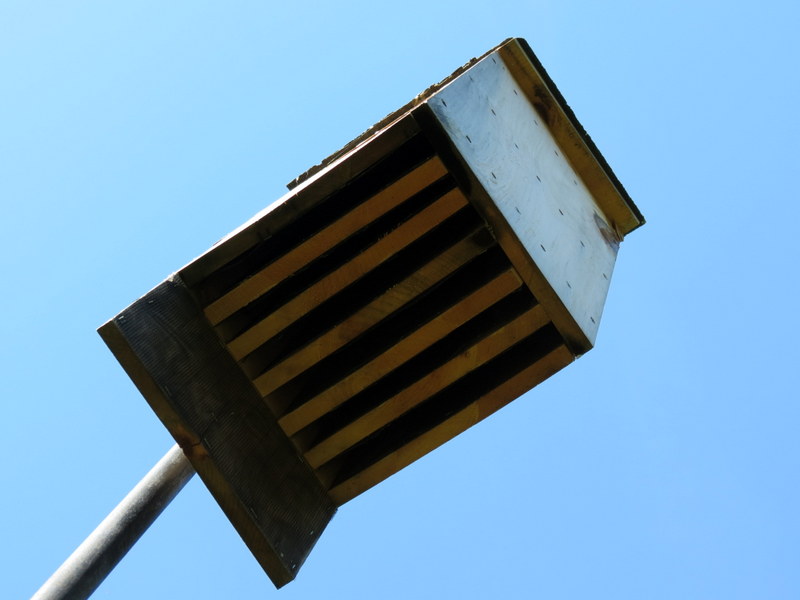
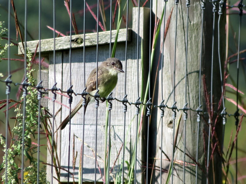
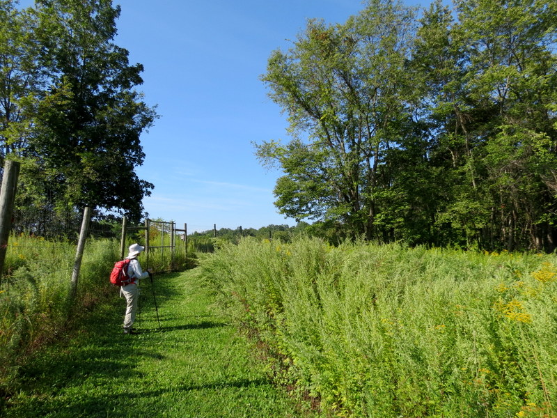
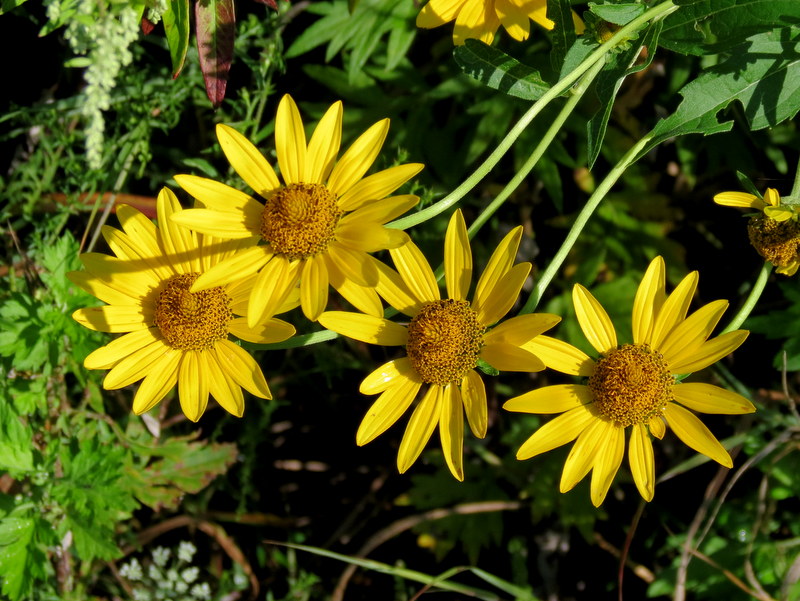
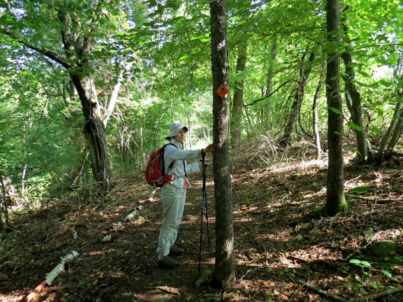
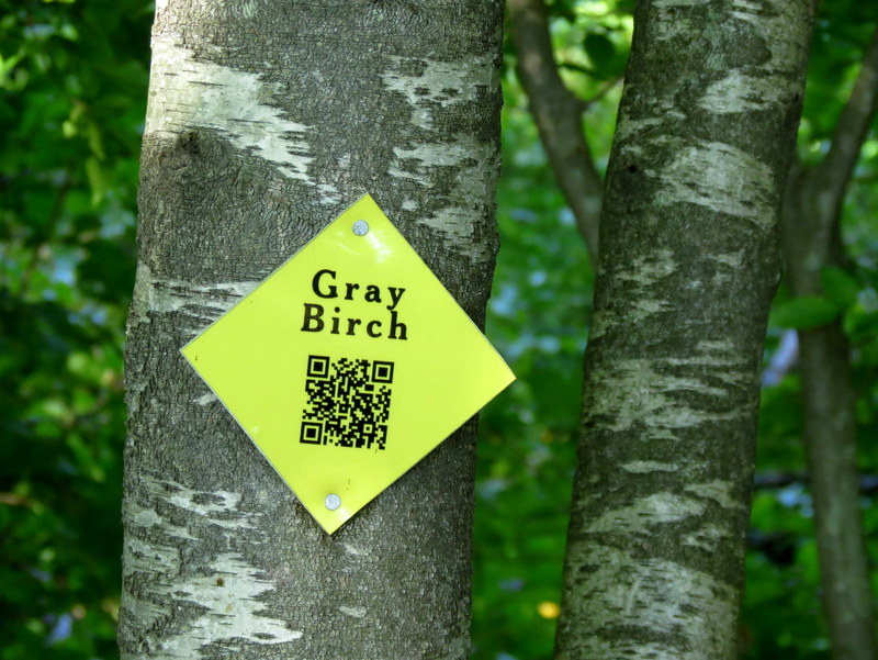
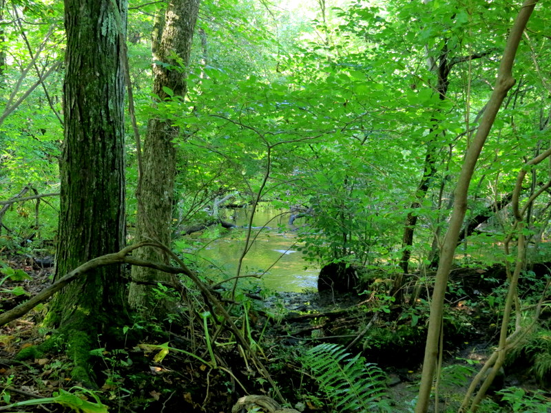
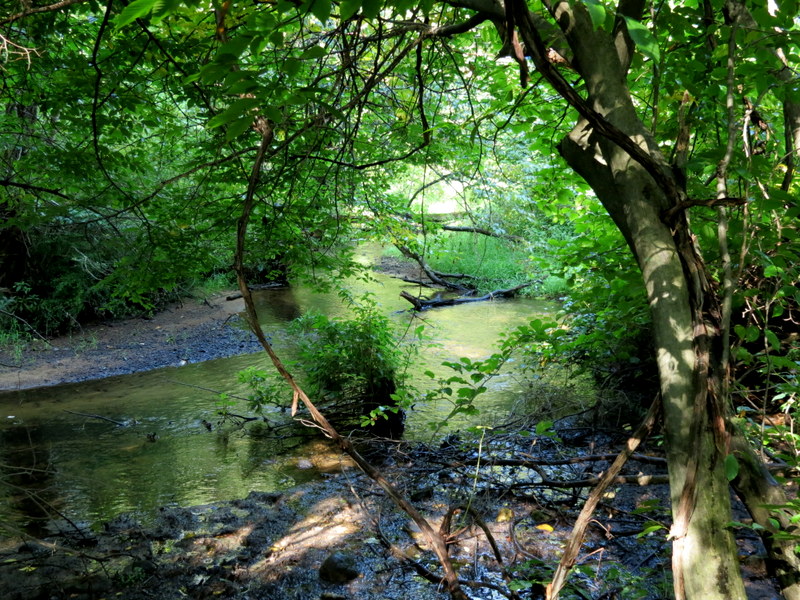
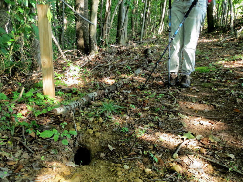
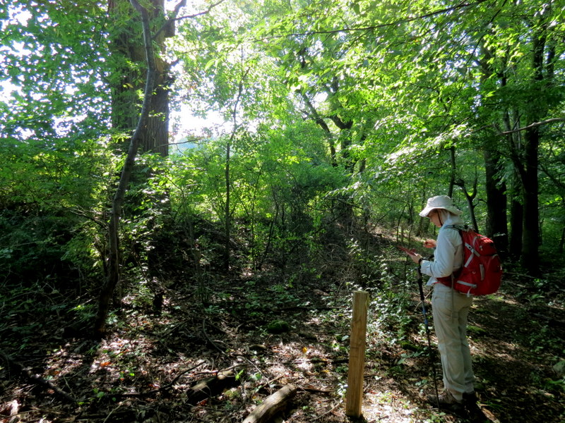
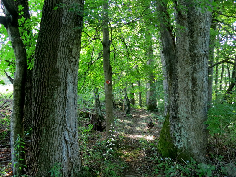
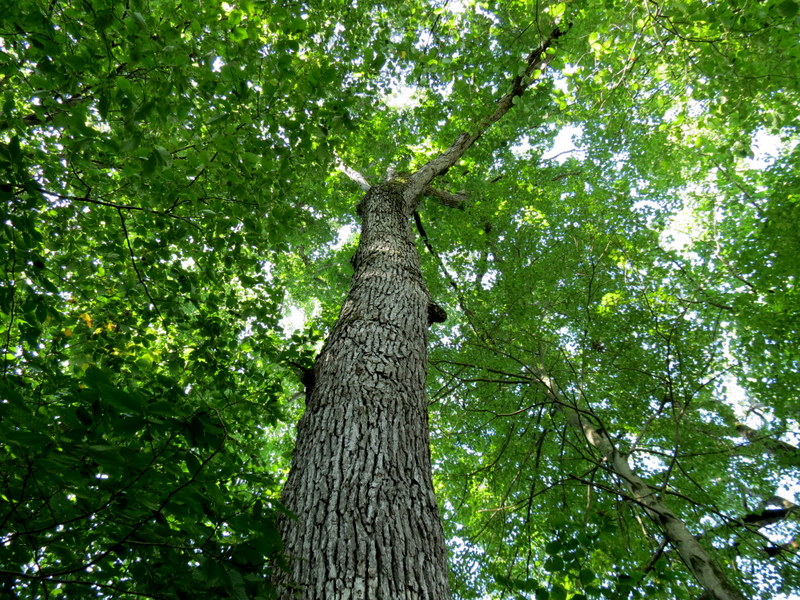
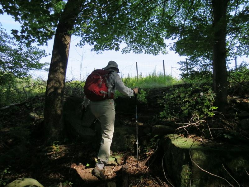
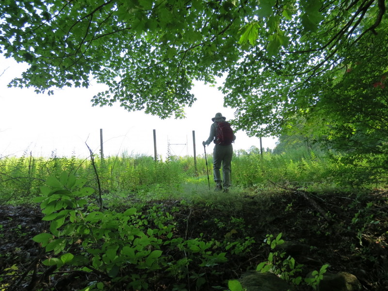
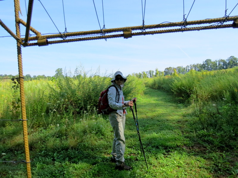
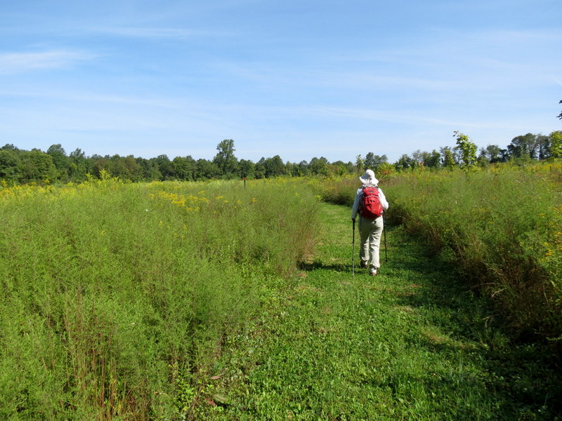
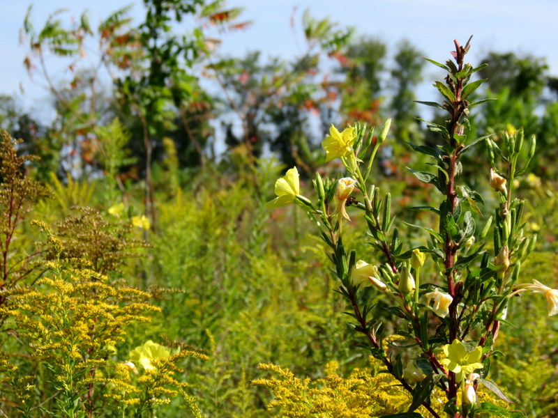
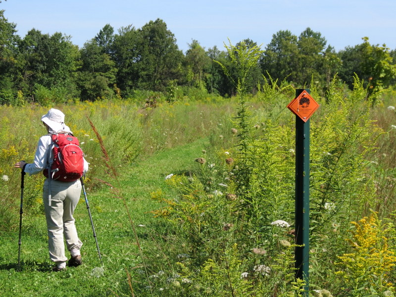
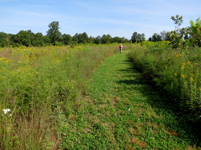
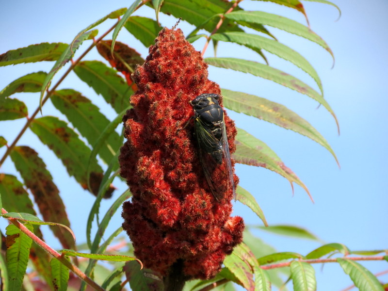
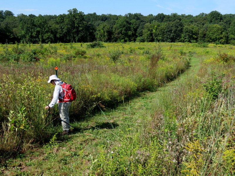
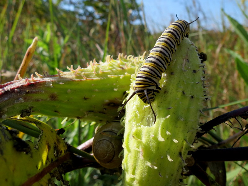
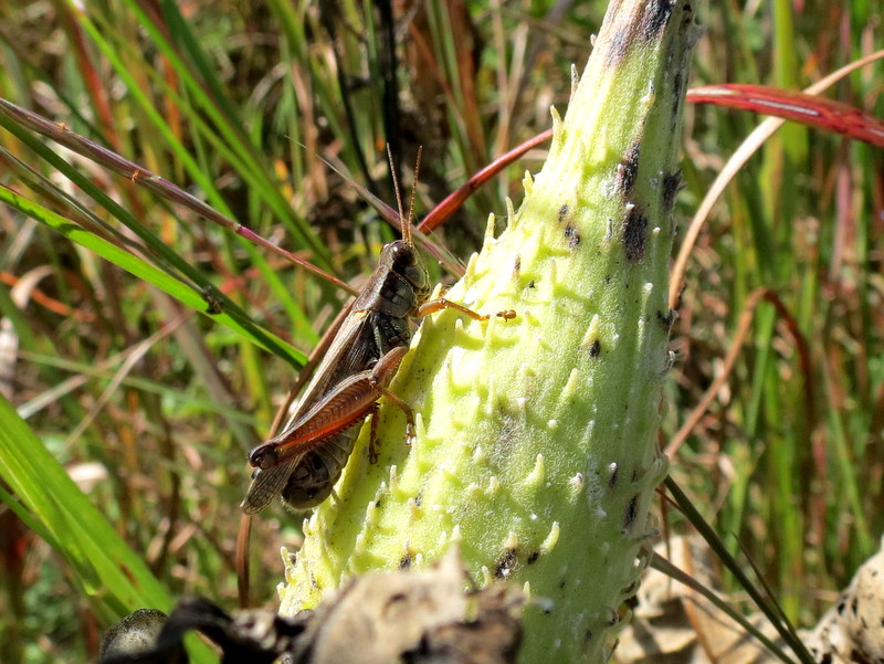
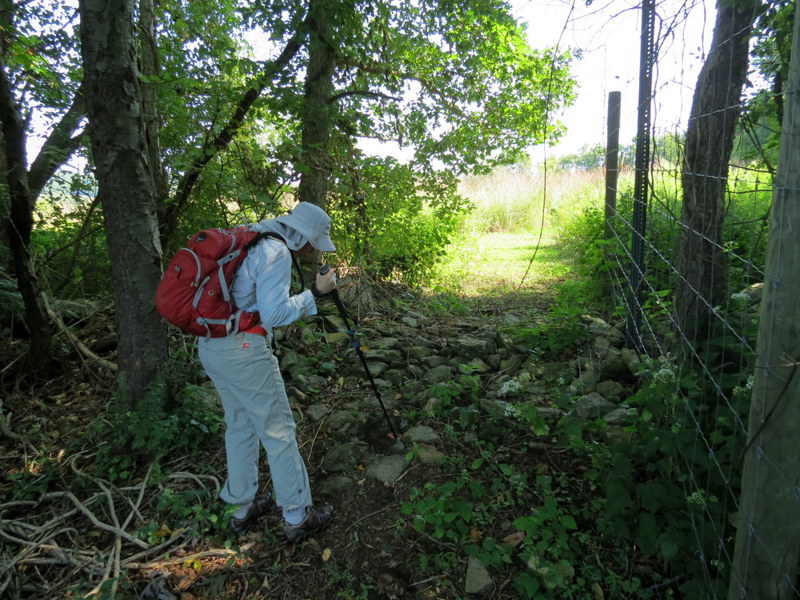
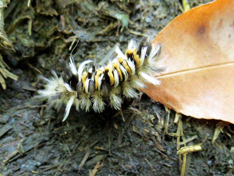
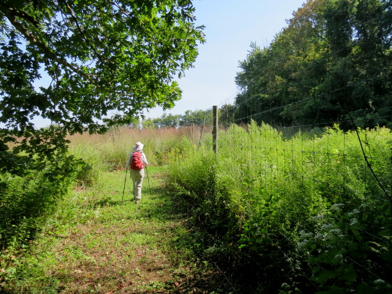
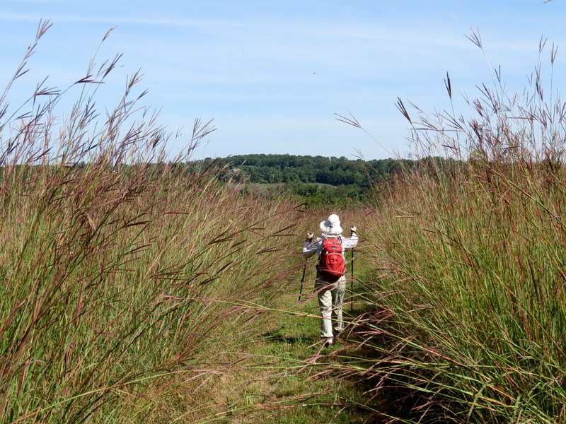
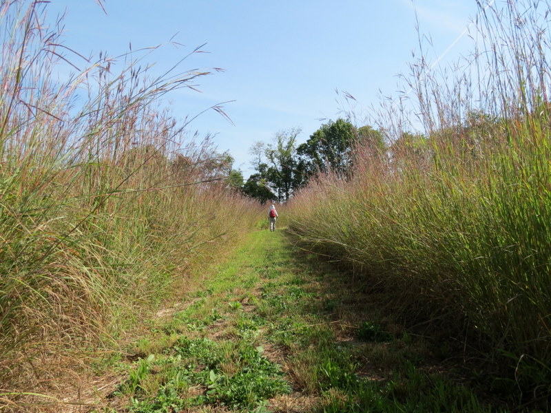
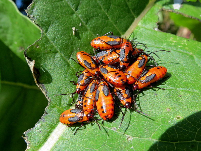
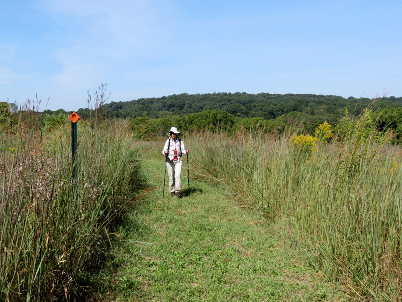
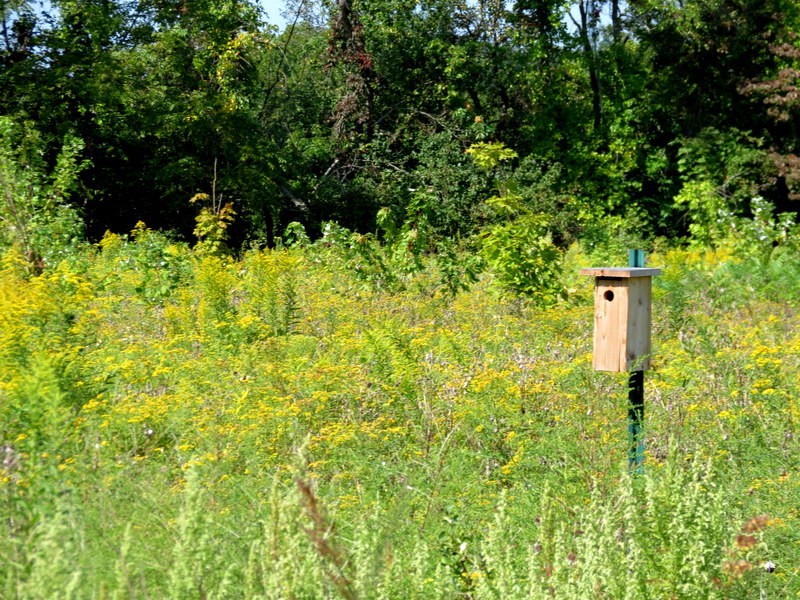
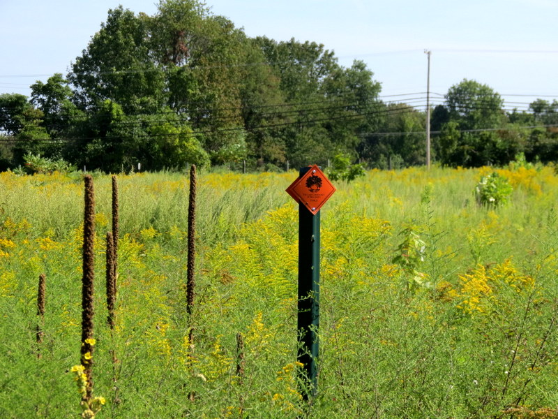
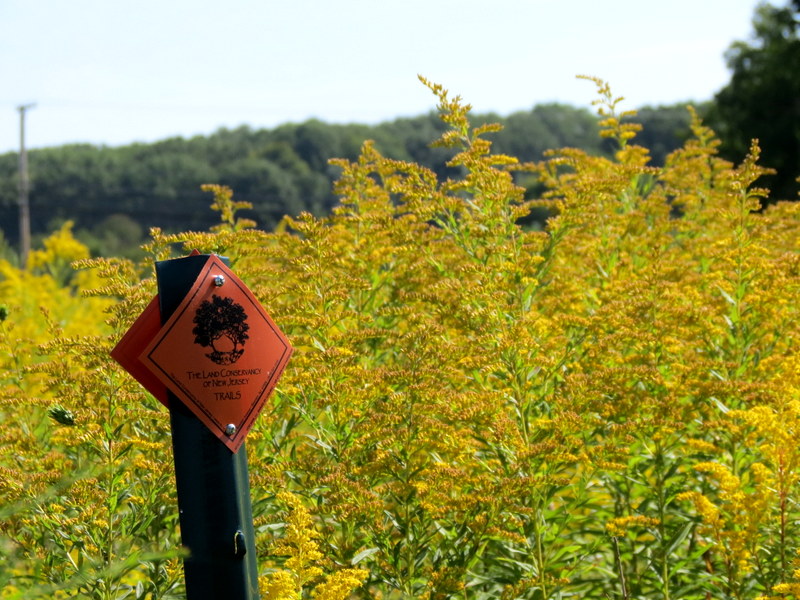
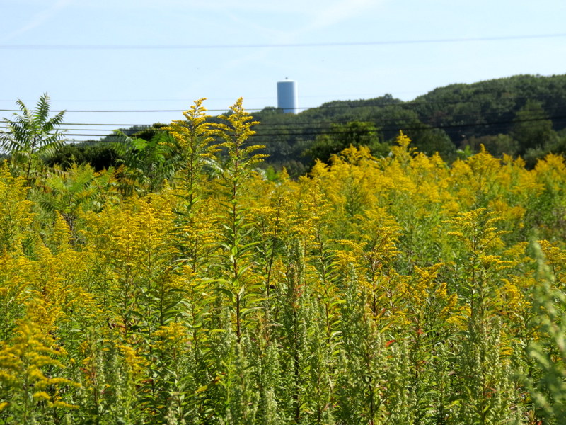
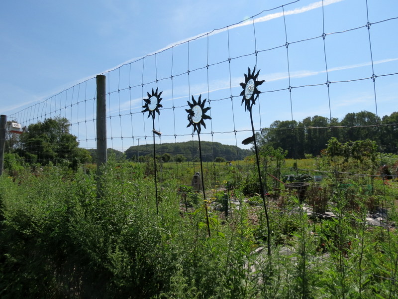
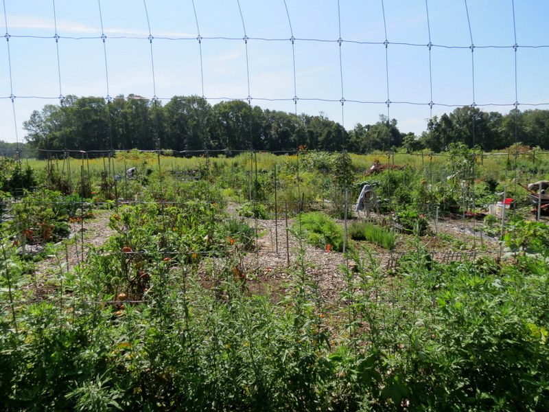
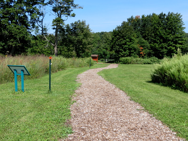
Using this map we parked in the large dirt lot on Wolfe Road just south of the intersection with Route 46 and hiked the blazed loop. This preserve is a delight. There are at least twenty trees and plants labelled and using a scanned QR code, you can read about every point of interest along the way. It's lovingly blazed and maintained. We spent almost two hours hiking just 1.5 miles because we stopped so often. There are also many other trails that border the fields, so you can easily add (maybe even double) the amount of miles walked. Total distance today was about 1.5 miles in one hour and 45 minutes.
|
 |
 |
 |
 |
 |
 |
 |
 |
 |
 |
 |
 |
 |
 |
 |
 |
 |
 |
 |
 |
 |
 |
 |
 |
 |
 |
 |
 |
 |
 |
 |
 |
 |
 |
 |
 |
 |
 |
 |
 |
 |
 |
 |
 |
 |
 |
 |
 |
 |
 |
 |
 |
 |
 |
 |
 |
 |
 |
 |
 |
 |
 |
 |
 |
 |
 |
 |
 |
 |
 |
 |
 |
 |
 |
 |
 |
 |
 |
 |
 |

|
|
Photographs and content copyright © Dan Balogh Web design by Dan Balogh |