 |
|
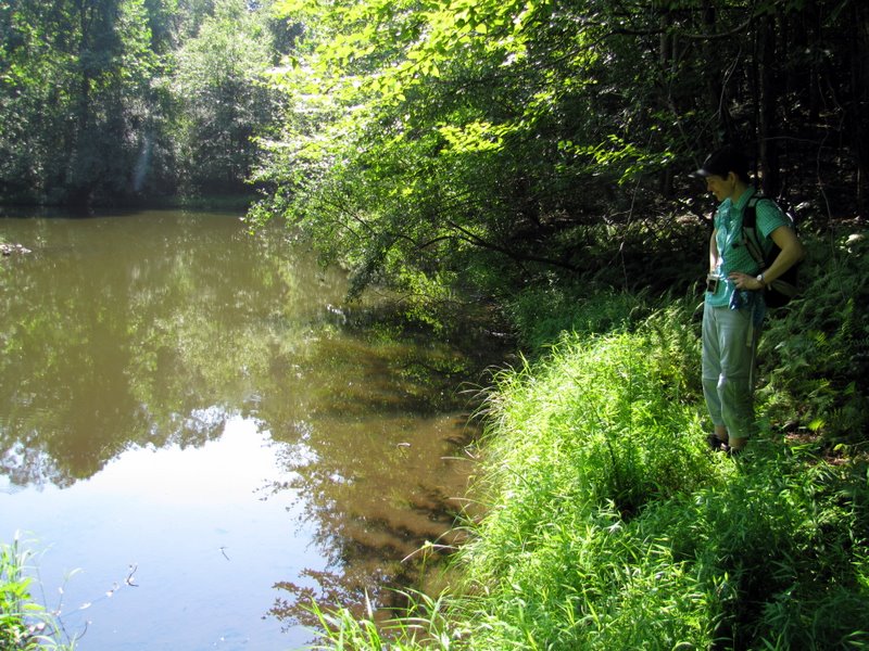
Less than 30 minutes from our home, and nestled within an area of very expensive homes, these two adjacent preserves include 14 miles of trails within 450 acres and offer
a nice variety of environments. There are no views, nor huge lakes, but some decent climbs and a lot of beauty.
In real-time, we put together a wonderful, varied barbell-shaped hike using
this map. For those interested, it's a long, wordy description because we covered
so many trails (mostly in relatively short sections).
We first took the white trail from the visitor's center to the blue upon which we turned left and headed SW to the lean-to at Lookout Point. Next we headed north (and up, over a hill on a good climb) on red, down to the Great Meadow, my favorite part of the preserve where its field of wildflowers is home to an abudance of butterflies and birds. Here we took white north to red upon which we continued north all the way to the intersection of yellow, red, and purple (on the way, though, we took a small spur on green to the site of a Revolutionary War Encampment). At the multi-trail intersection we continued NW on purple, on another good climb, passing the Woodbadge Lodge where we picked up the white-blazed Franklin-Parker trail which took us east into the McVickers Brook Preserve. Along the way we made a right on an unmarked trail and took that to yellow, which we then took a bit east, picking up another unmarked trail going south which we took all the way to its intersection with the FP trail just before the orange trail. Turning right on the orange trail we saw crayfish and frogs in the lovely South Conservation Pond, but nothing in the North Conversation Pond at its northern intersection of orange and yellow. Turning left on yellow we visited the site marked "Historic Site" on the map, the remaining foundation of what appears to have been a house. We continued west on yellow to red, retracing that back south to the white Great Meadow trail which we took counter-clockwise to blue. Finally we took blue (which was a paved road) NE, then SW back to the visitor's center. Total distance hiked today was 5.3 miles in 3 hours.
|
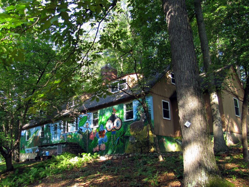 The colorful visitor's center |
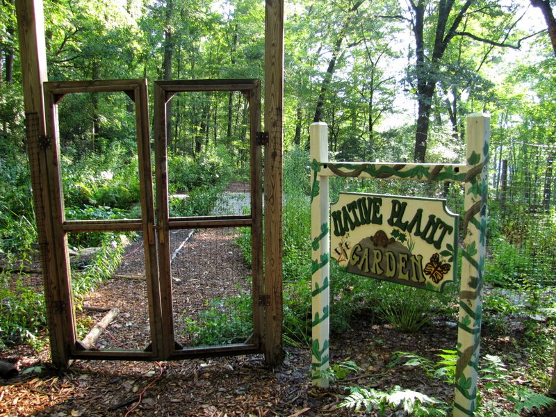 Native Plant Garden |
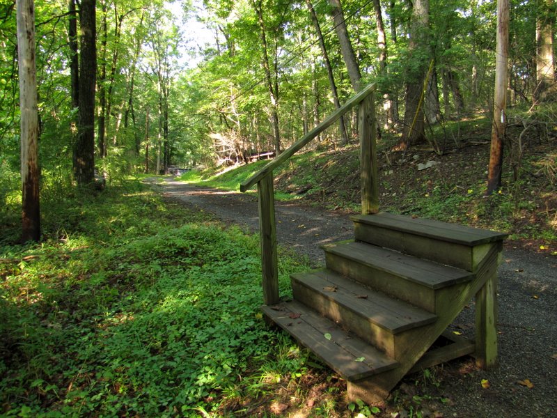 Stairway to nowhere |
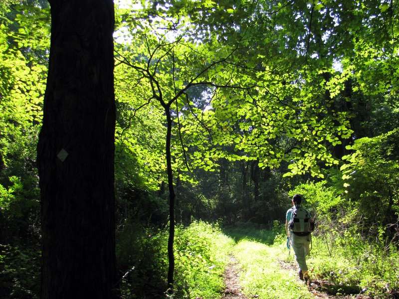
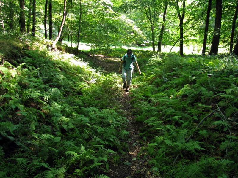
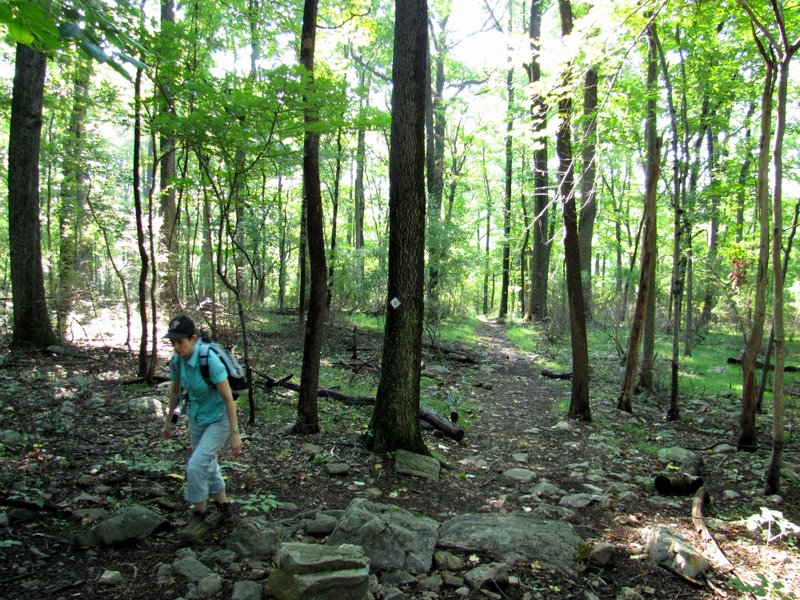 Climbing on white |
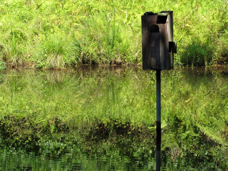
 Bat house in Great Meadow |
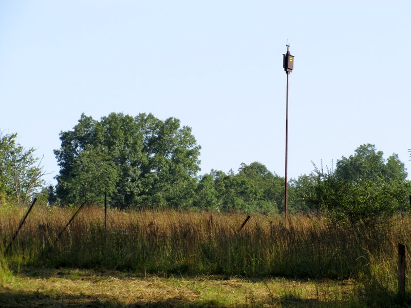
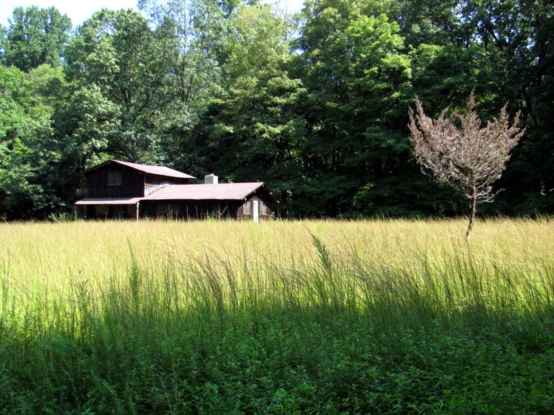
 Pole house |
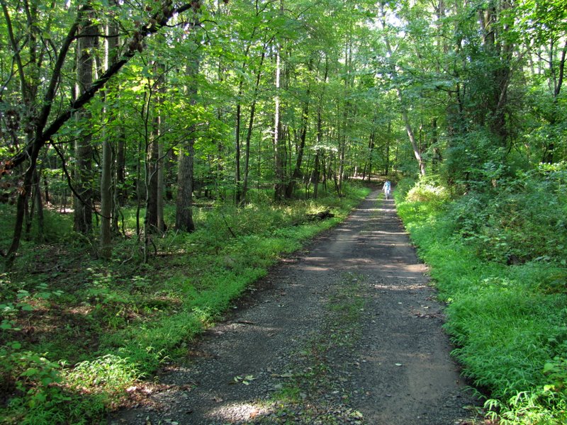
 Blue heading SW |
 Looking NE on blue |
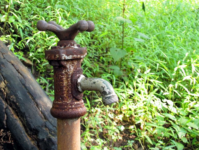 Old faucet on blue |
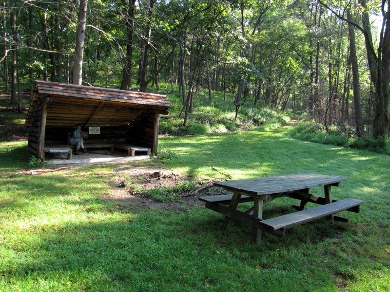 Lean-to at Lookout Point |
 [photo by Laura] |
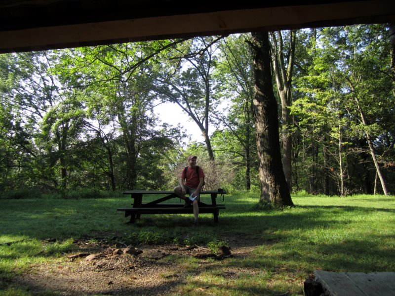
 Near the lean-to |
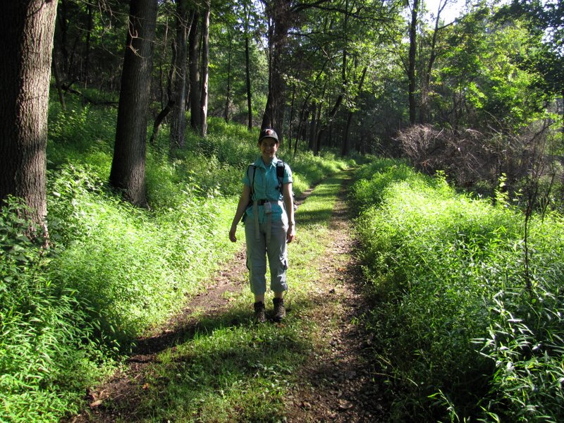
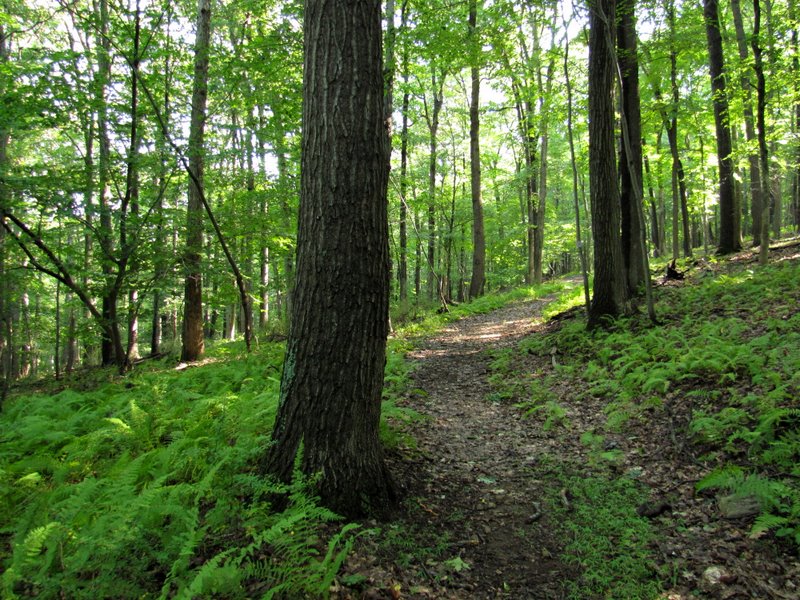
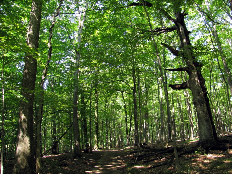
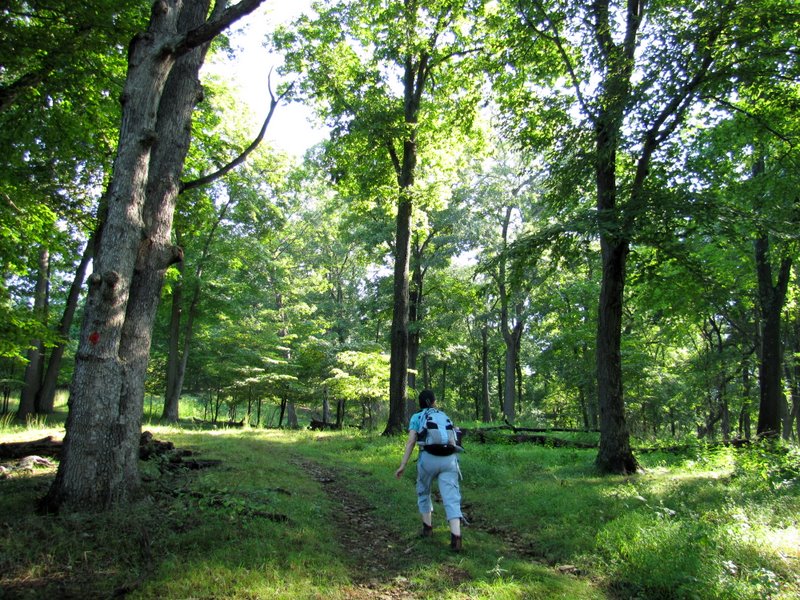 Climbing on red |
 |
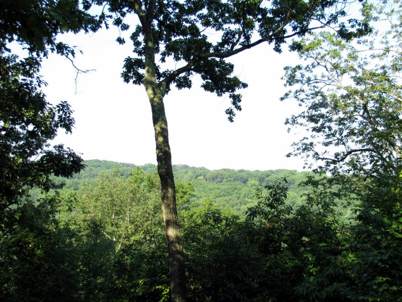 Partial views |
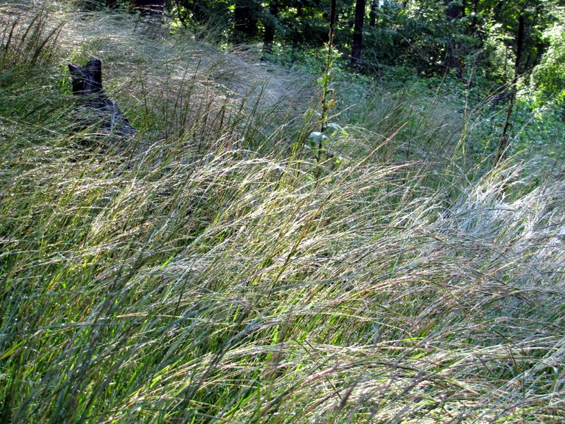 Lovely wet grass after a rain |
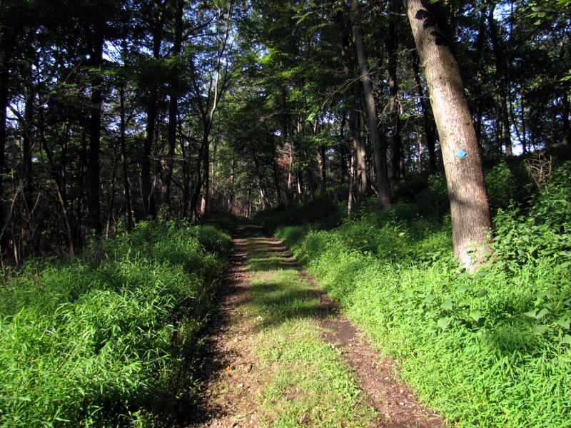
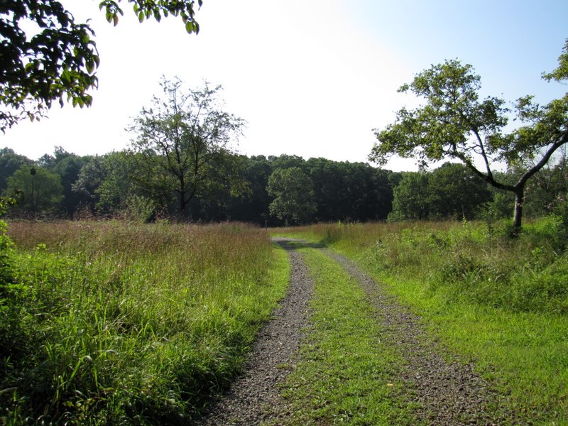
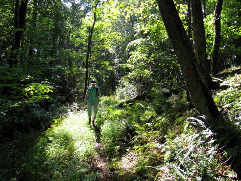
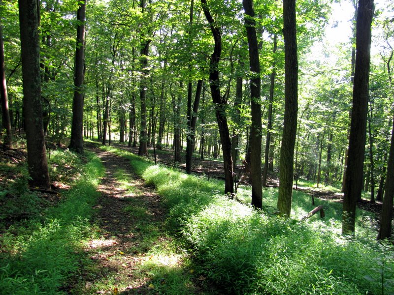 Continuing on red |
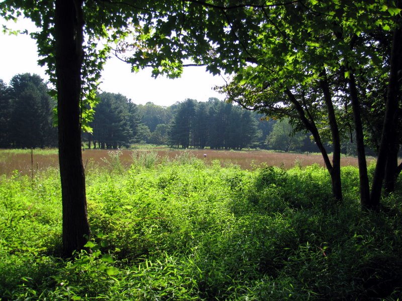
 View to lovely Great Meadow |
 Road along western side |
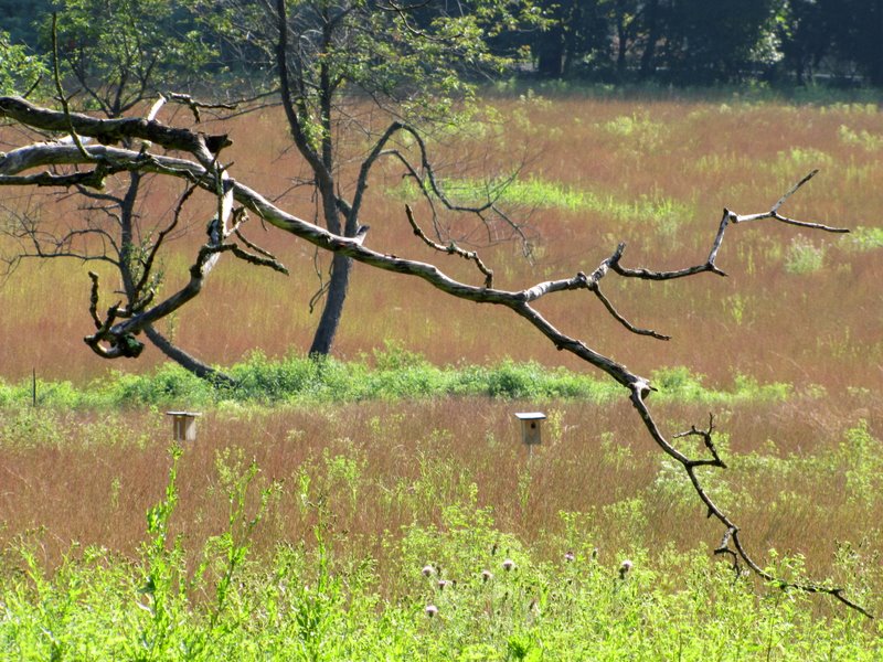
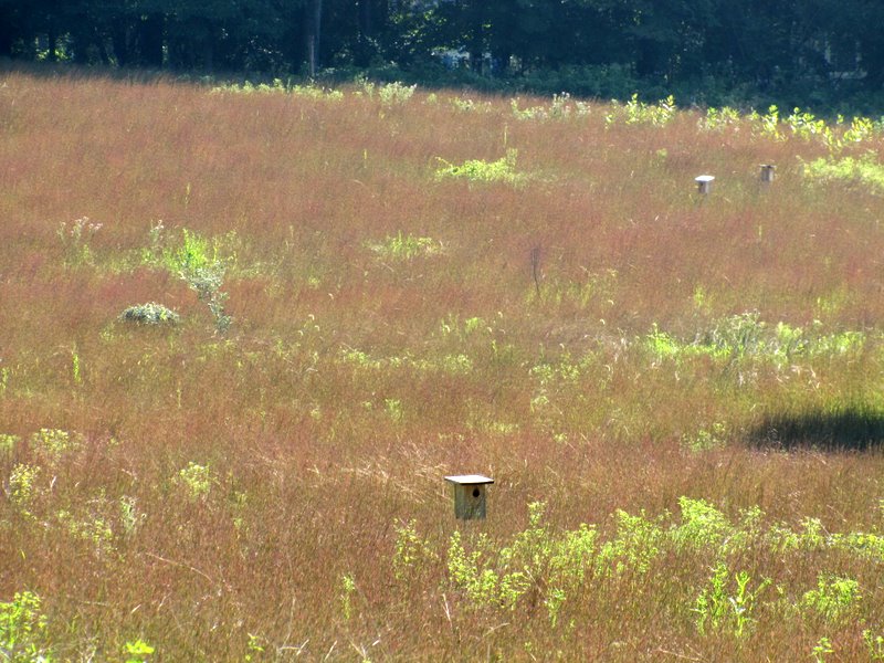
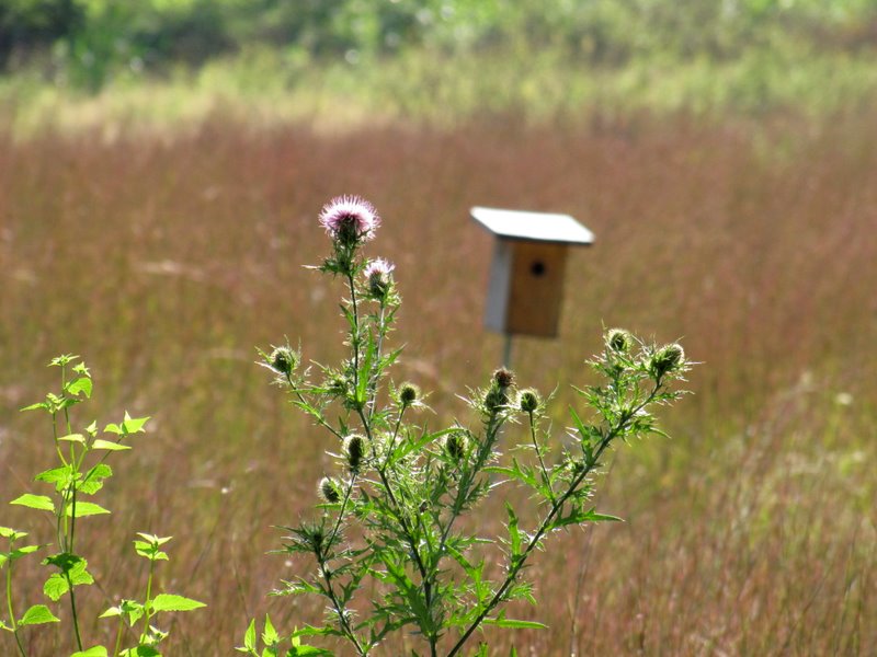 Wildflowers and bird houses |
 Views of ... |
 ... Great Meadow |
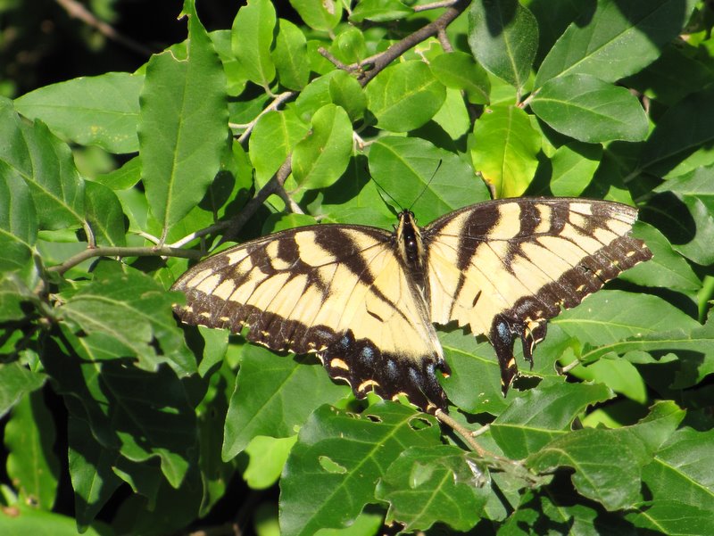 Swallowtail |
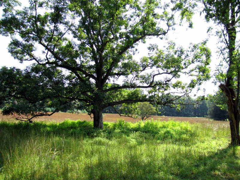
 Great Meadow |
 White trail blaze |
 Vines on red |
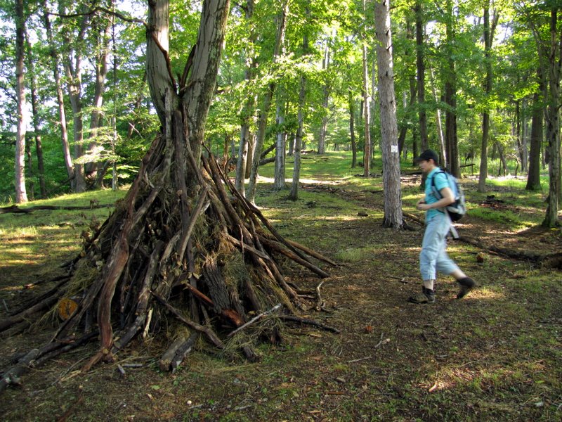
 Washington's Outpost on green |
 View south on red |
 View east on yellow |
 Climbing on purple |
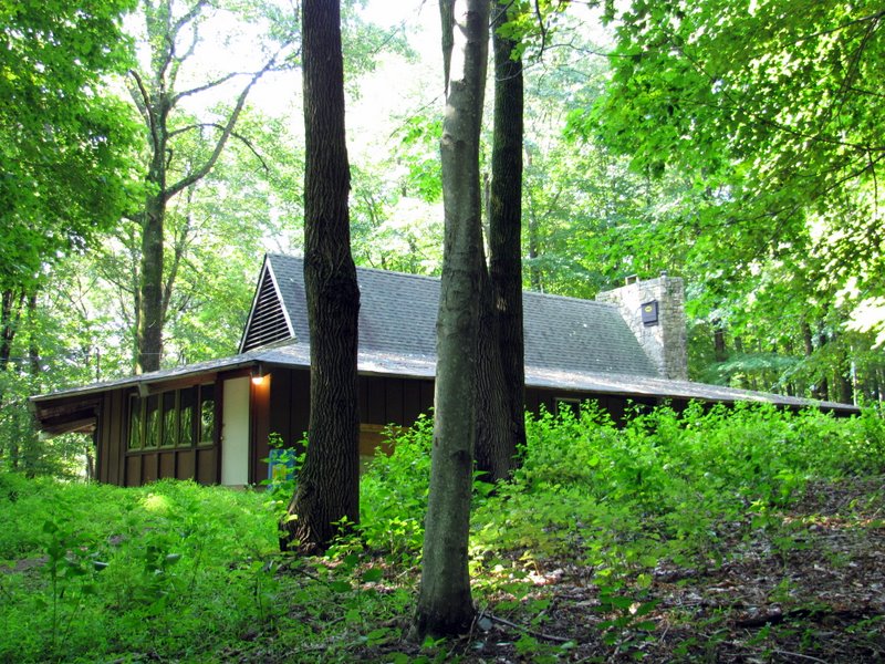 Woodbadge Lodge |
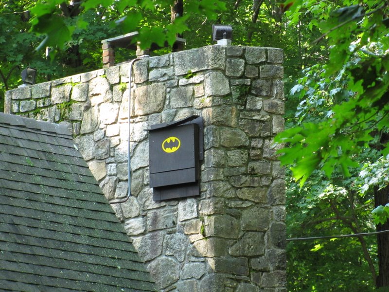 Bathouse on lodge |
 Huge fire ring at lodge |
 Heading east on Franklin-Parker |
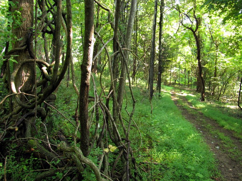 Vines on F-P |
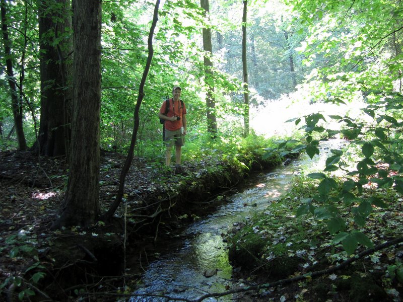
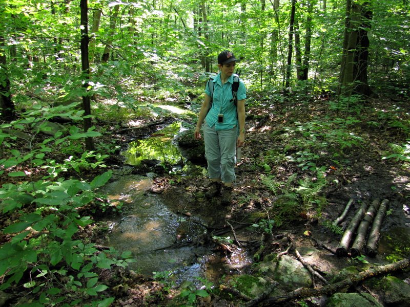
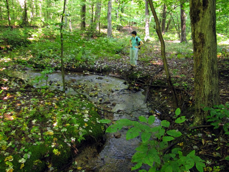 Stream separating ... |
 ... the two preserves |
 [photo by Laura] |
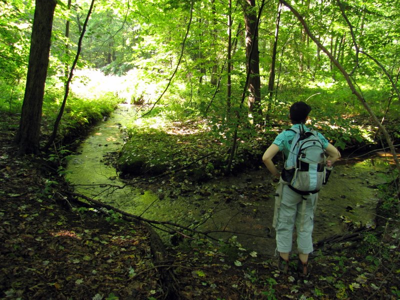
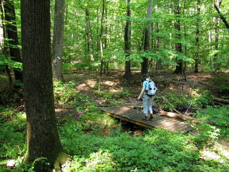 Bridge over stream |
 |
 Ferns on orange |
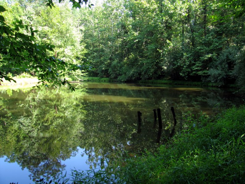 South Conservation Pond |
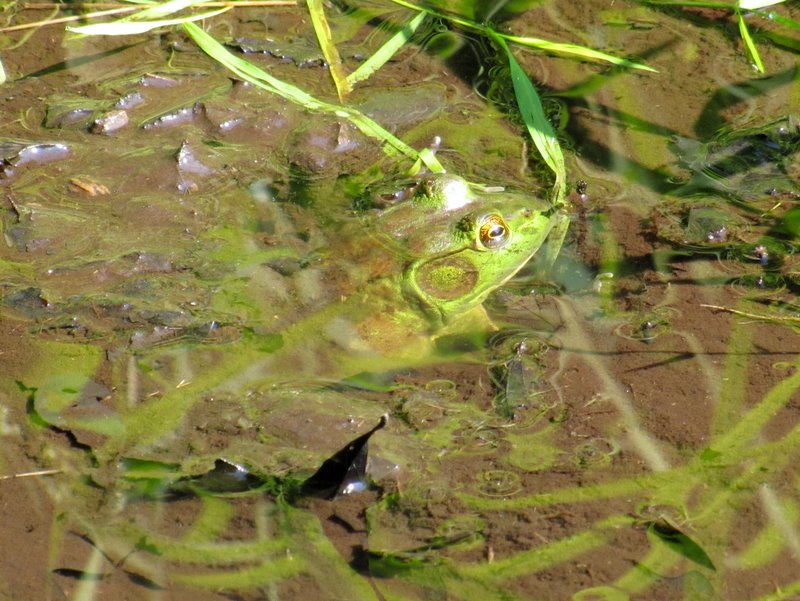 Huge frog |
 |
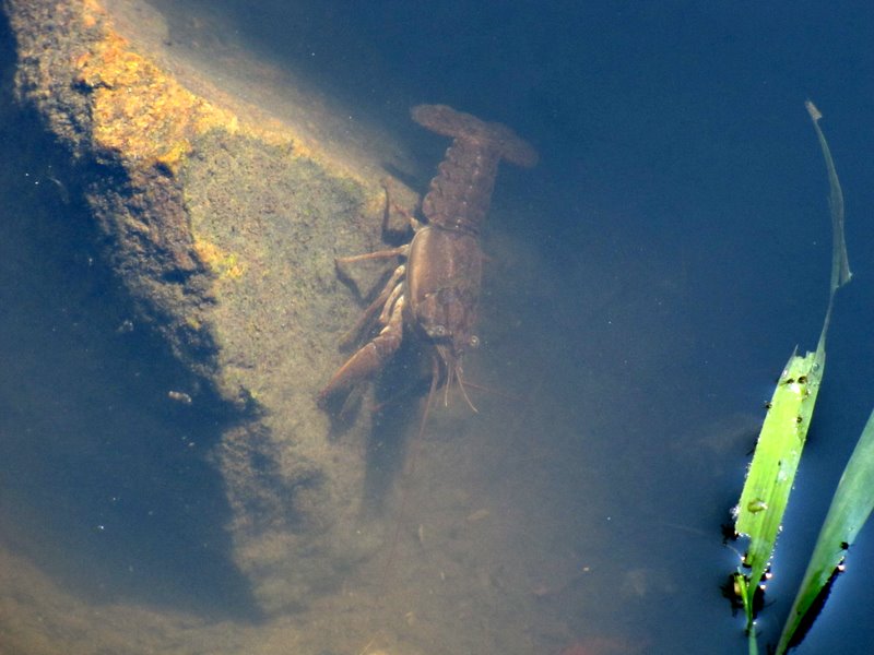 Small crayfish in pond |
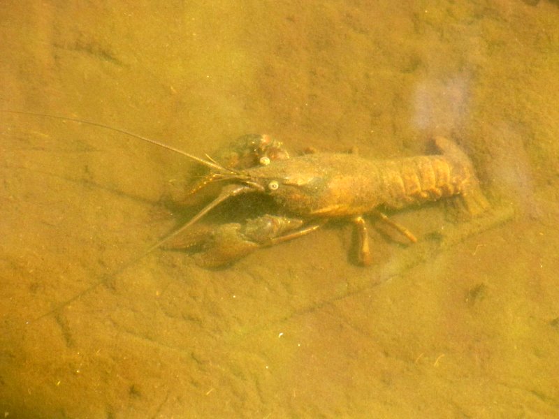 Larger crayfish |
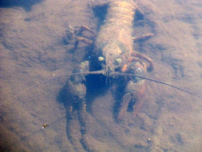 Biggest one staring at us |
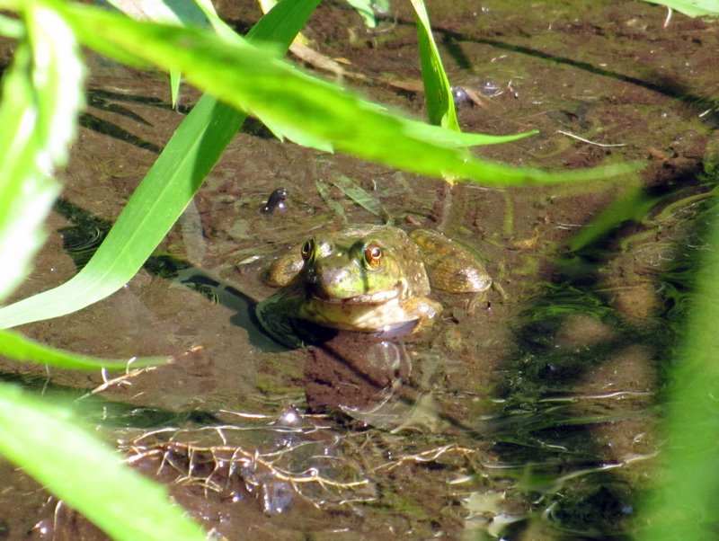 Another frog |
 View of pond from western bank |
 More ferns on orange climb |
 |
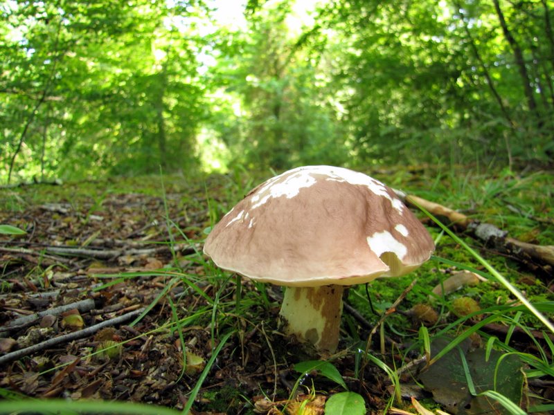
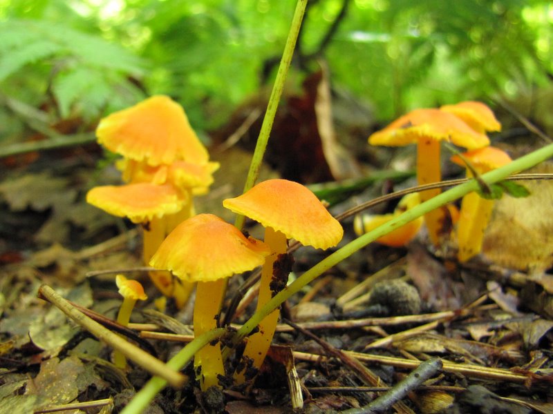 Mushrooms |
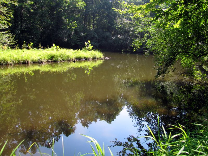
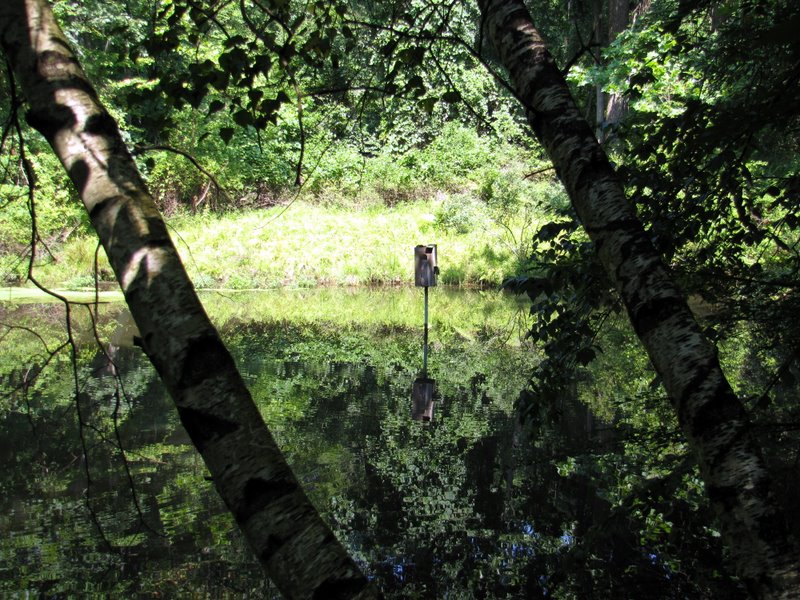 North Conservation Pond |
 Bird house in pond |
 |
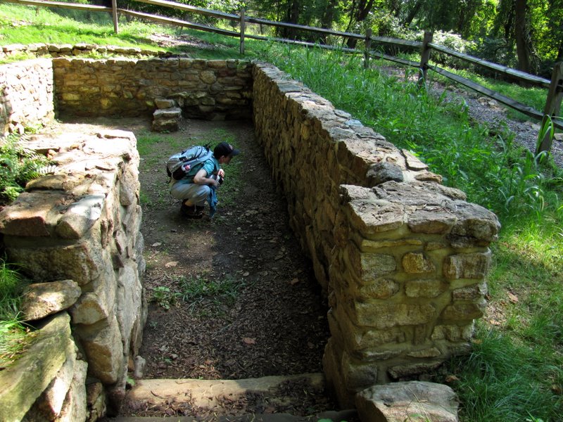 Historic site |
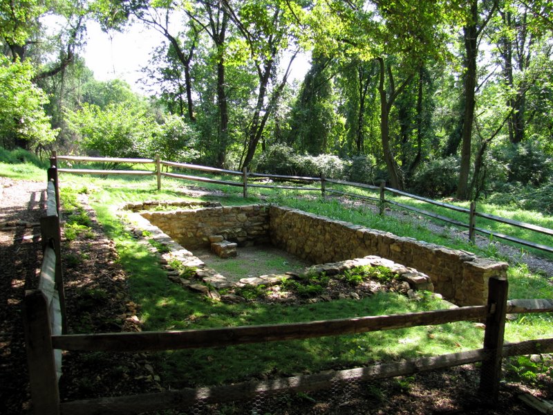 Probably was a house |
 Old growth on yellow |
 Dan Beard's Cabin |
 Back to ... |
 ... Great Meadow |
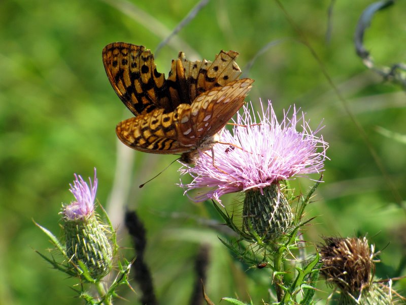 Great Spangled Fritillary |
 |
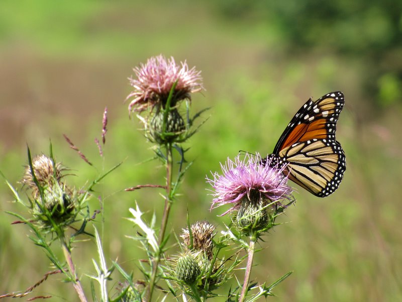 Monarch butterfly |
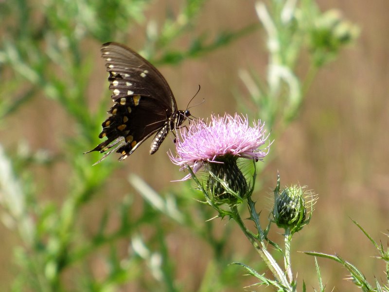 Black Swallowtail |
 Unique blaze placement! |
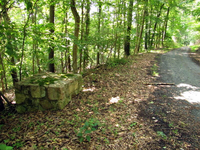 Remains on blue |
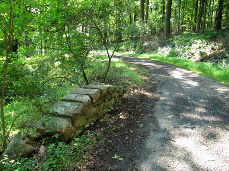 Bridge arch on blue |

|
|
Photographs and content copyright © Dan Balogh Web design by Dan Balogh |