 |
|
Last week we hiked this mountain beginning at its northern-most tip, at the Moodna Viaduct on Otterkill Road. Today we hiked the mountain from
its southern-most tip, the trail head of the yellow-blazed Jessup trail at Seven Springs Road. For unknown reasons, the section of Seven Springs Road
north of Route 44 was closed, so we were unable to park at the actual trail head. Instead we parked at a pull-off (good for about three cars) on Seven
Springs Road just south of its intersection with Route 44. We parked next to a sign that said "No Dumping $10,000 Fine". The sign was surrounded by
couches and cabinets and other trash that had been dumped there since the sign was installed.
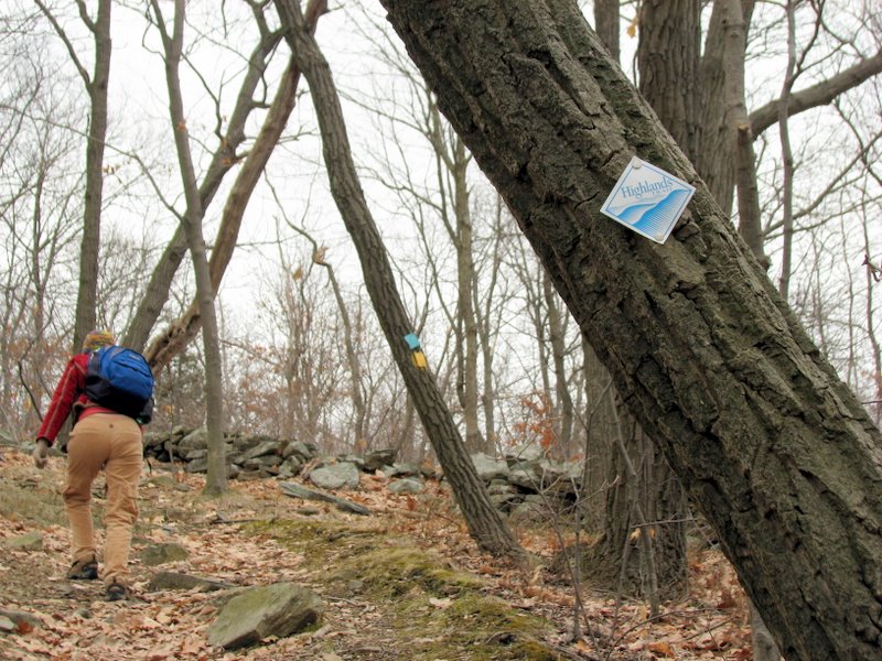
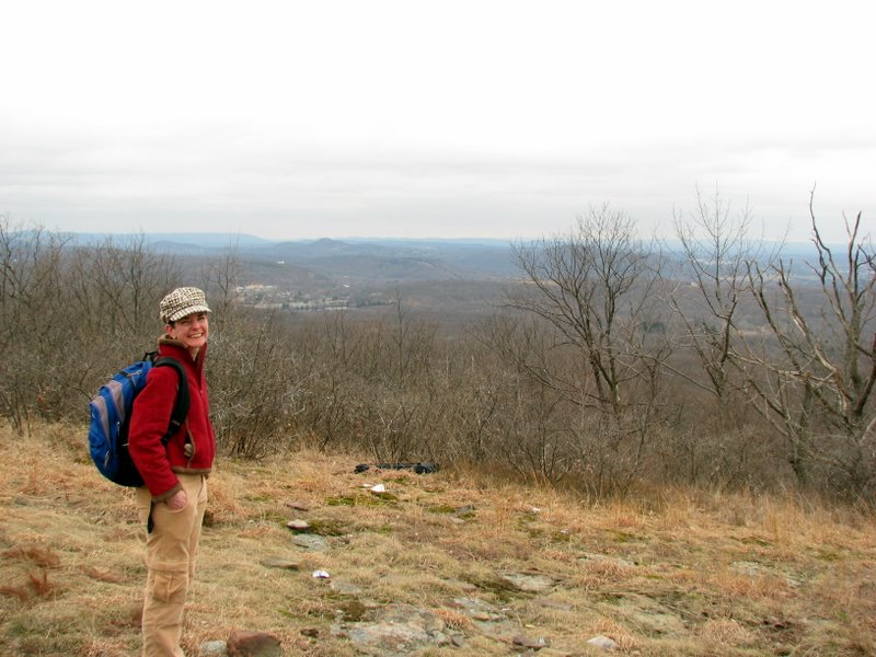
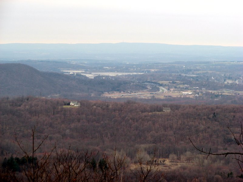
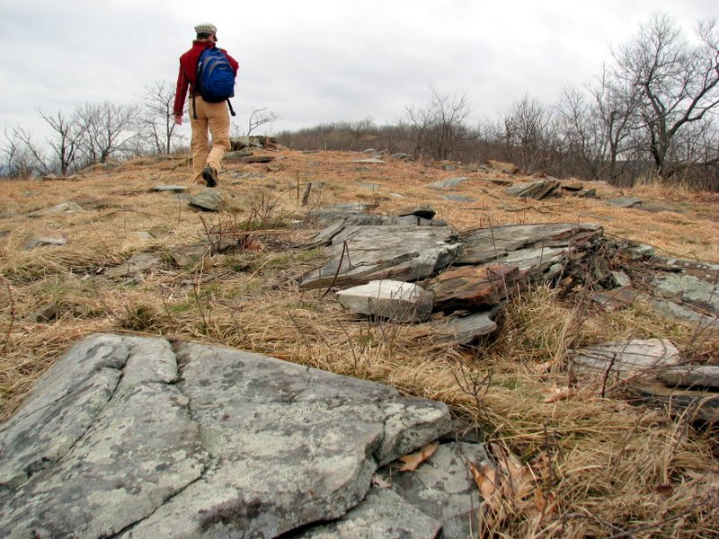
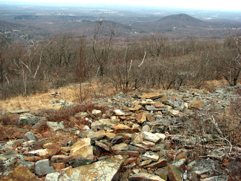
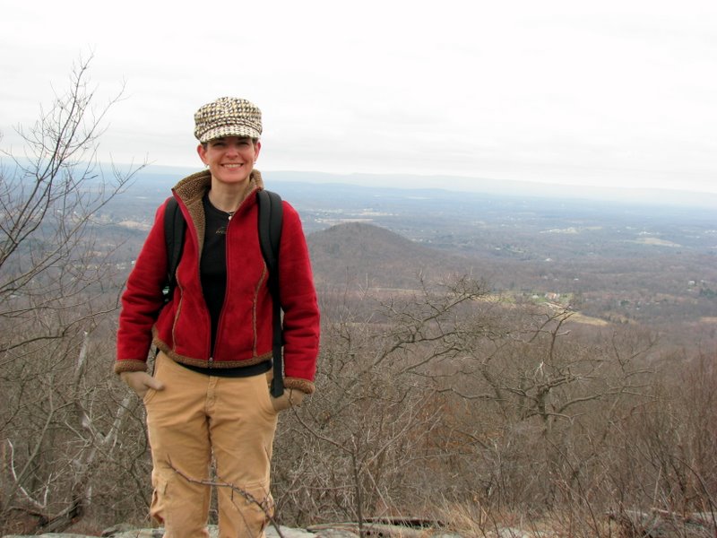
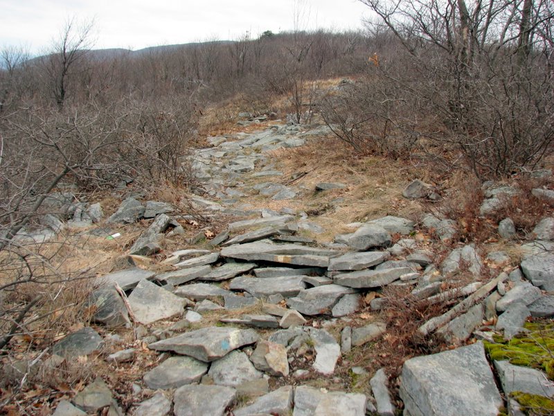
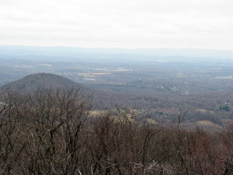
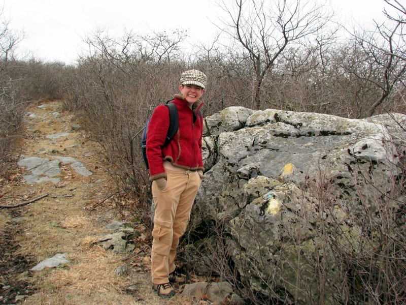
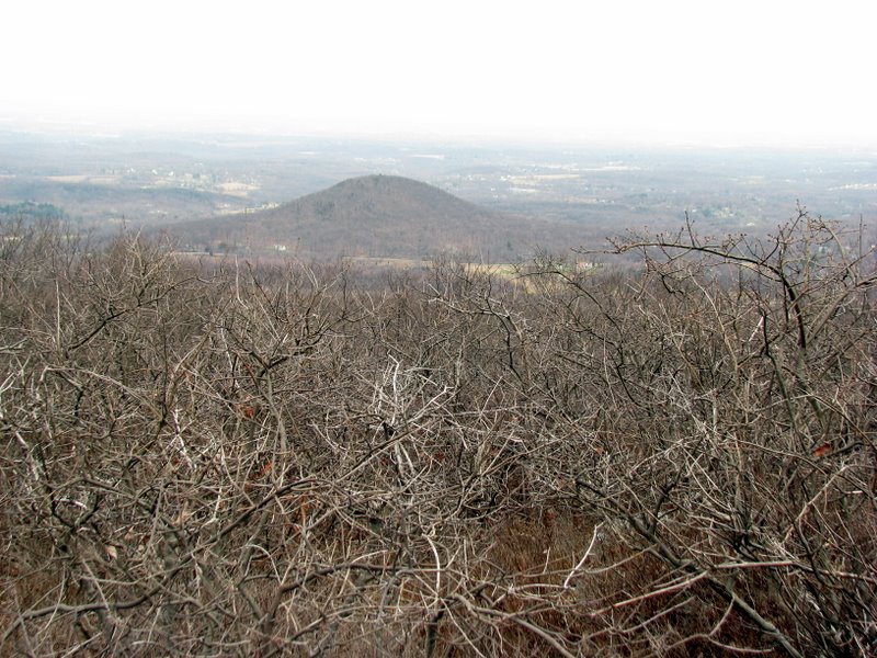
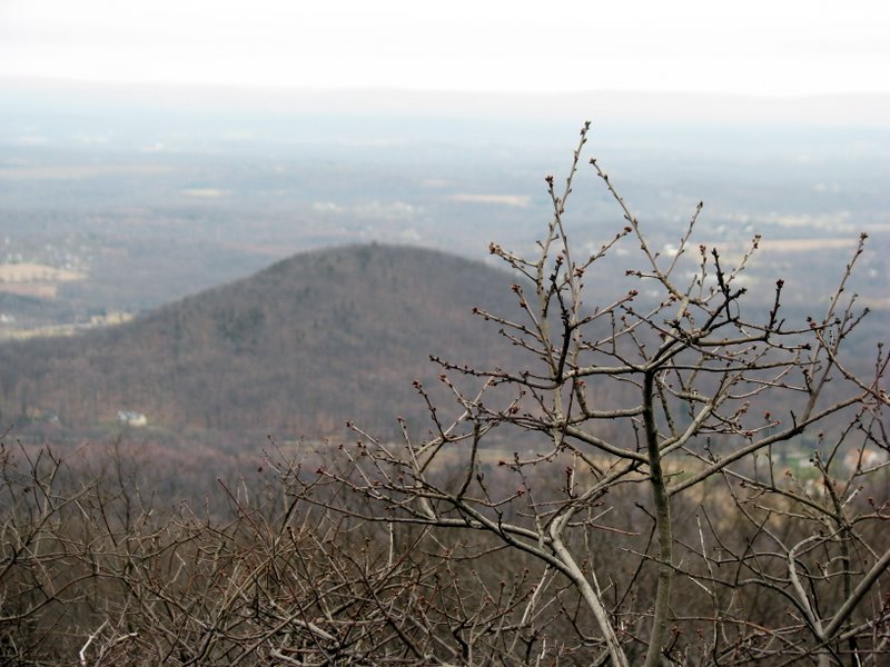
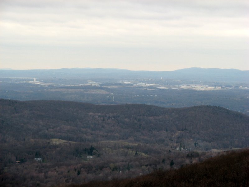
The entire hike was along the Jessup trail (which is also the Highlands trail on this mountain). Nearly all of this part is inexplicably chopped off of the newest NYNJTC map for Schunemunk (Trail Map 114, West Hudson Trails, Fourth edition 2006). Oddly, it does appear in its entirety on Map 8 of the NYNJTC book "New York Walk Book" (Seventh Edition, 2005). Go figure. We took the trail north to the antenna farm, about a half mile before the Jessup intersects with the Long Path. We then turned around at the antennas and headed back. The hike was just under 7 miles and offered spectacular views both east and west of the ridge. (Click on the thumbnail to bring up a bigger image in a pop-up window)
|
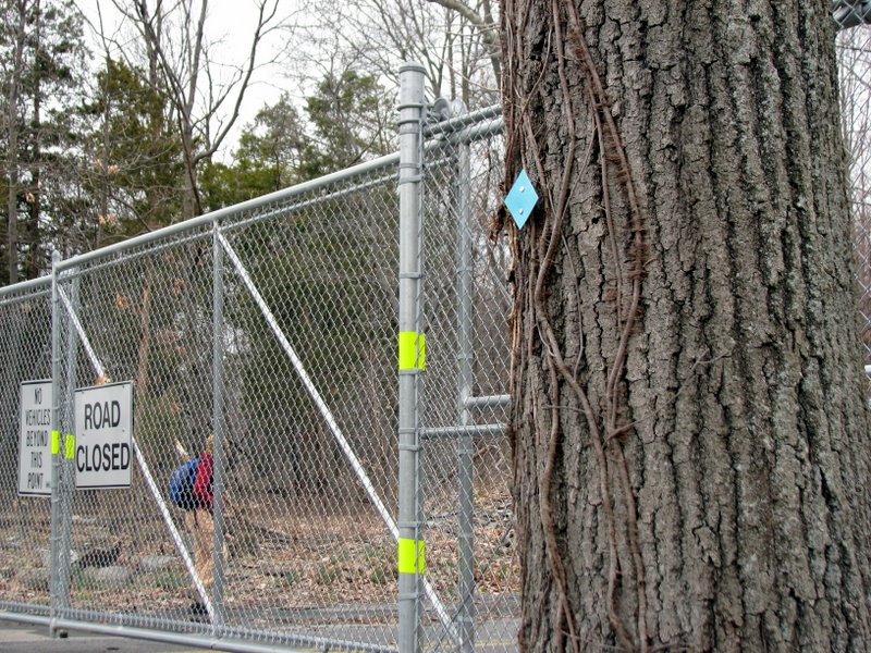 Road was closed north of Route 44 |
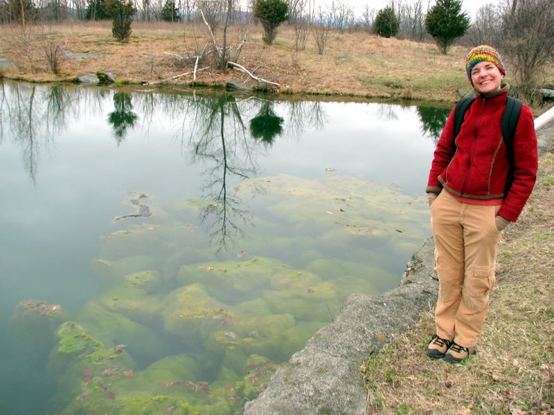 Pond across street from ... |
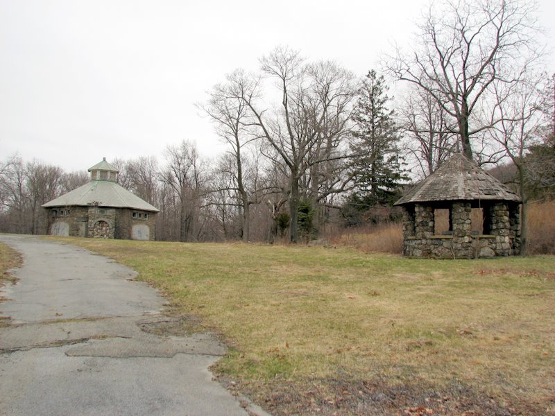 ... abandoned Jesuit Home and Retreat |
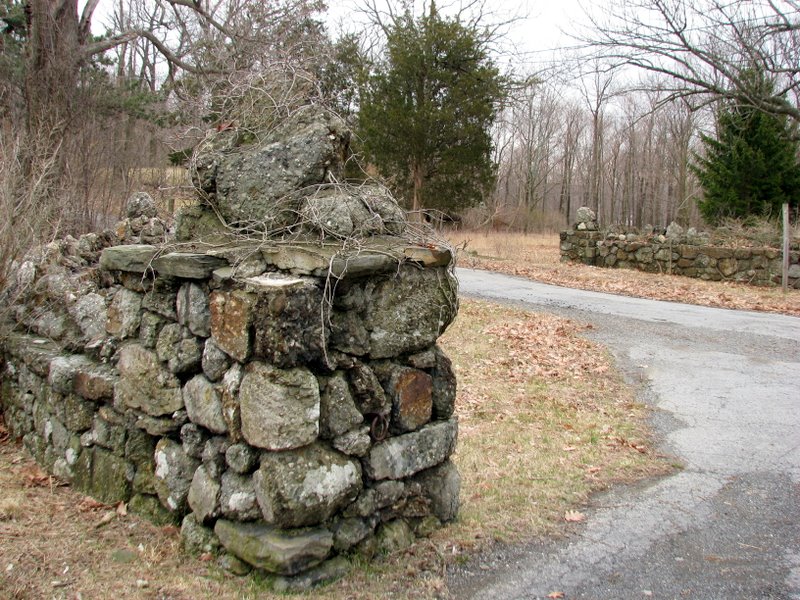 Driveway walls of retreat |
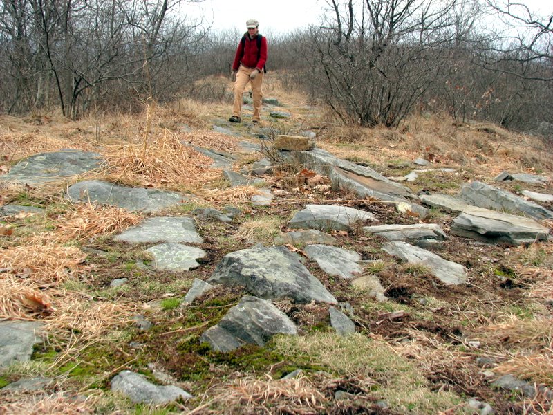
 Southern trail head of Jessup trail |
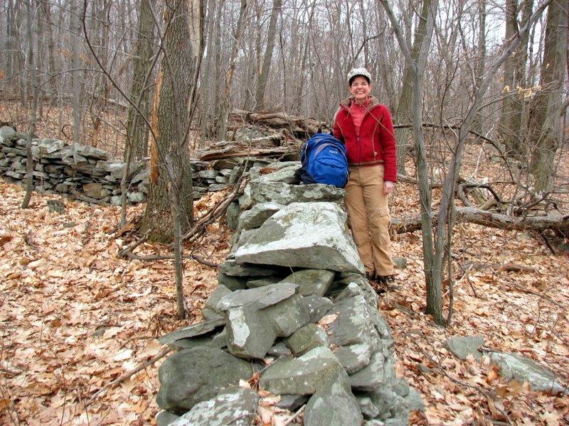 Boundary walls |
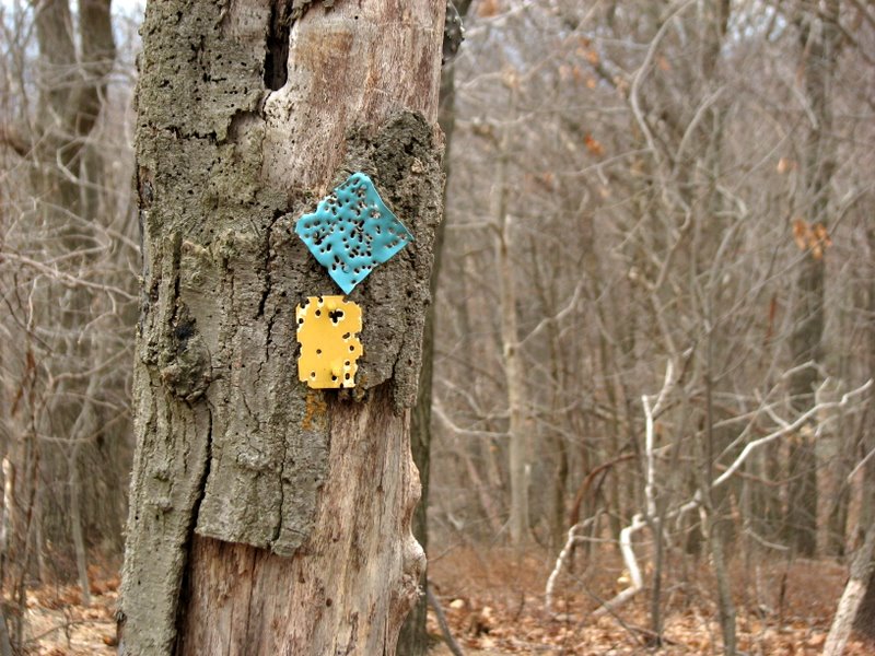
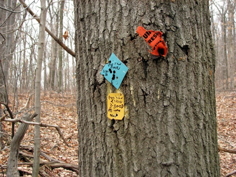 Curious markings on all the blazes to the top |
 Shells amidst No Hunting signs |
 |
 Path to opening |
 View SW |
 |
 |
 |
 View NW |
 |
 View NW |
 |
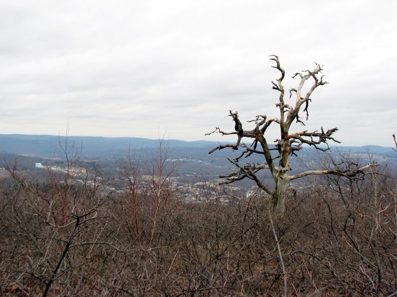 Regal old tree, view east |
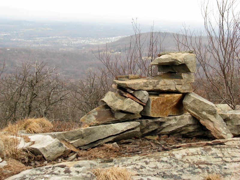
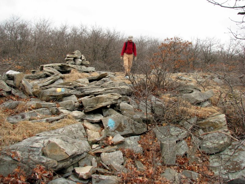
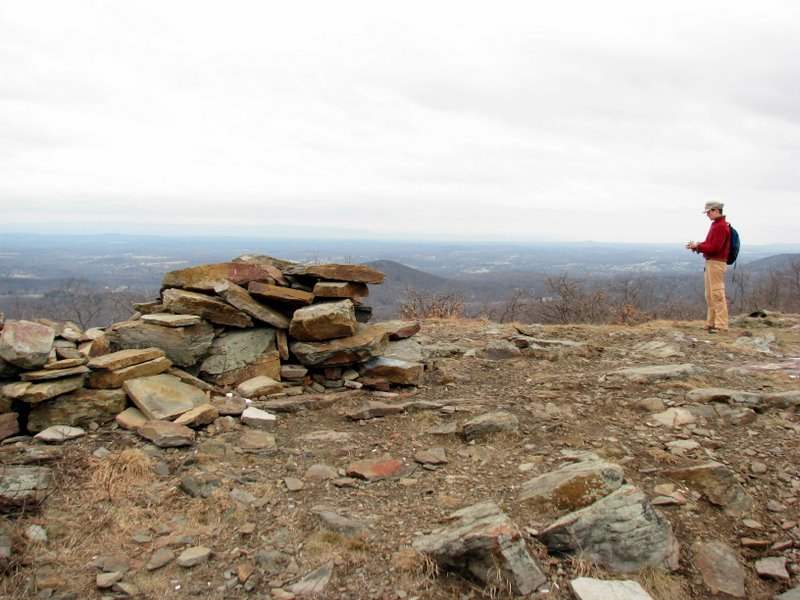 Huge pile of rocks |
 Curious markings again |
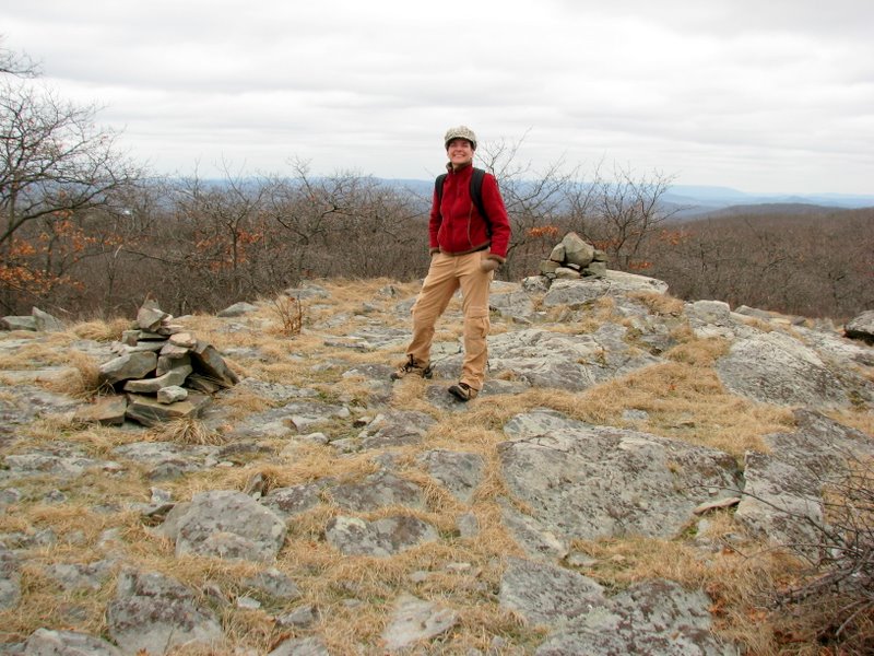
 360-degree views from here |
 View west |
 |
 BB target practice |
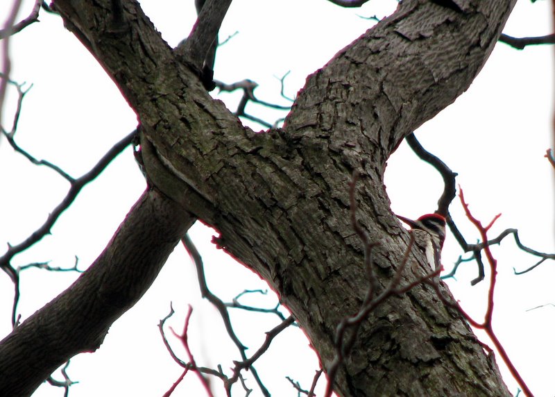 Pileated woodpecker |
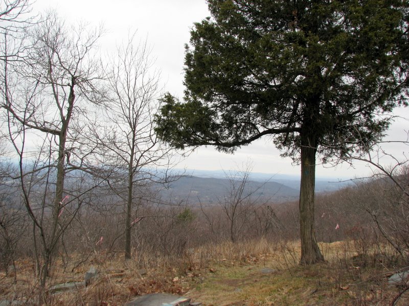 |
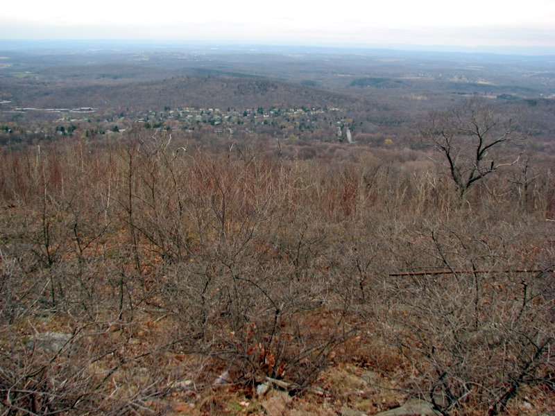
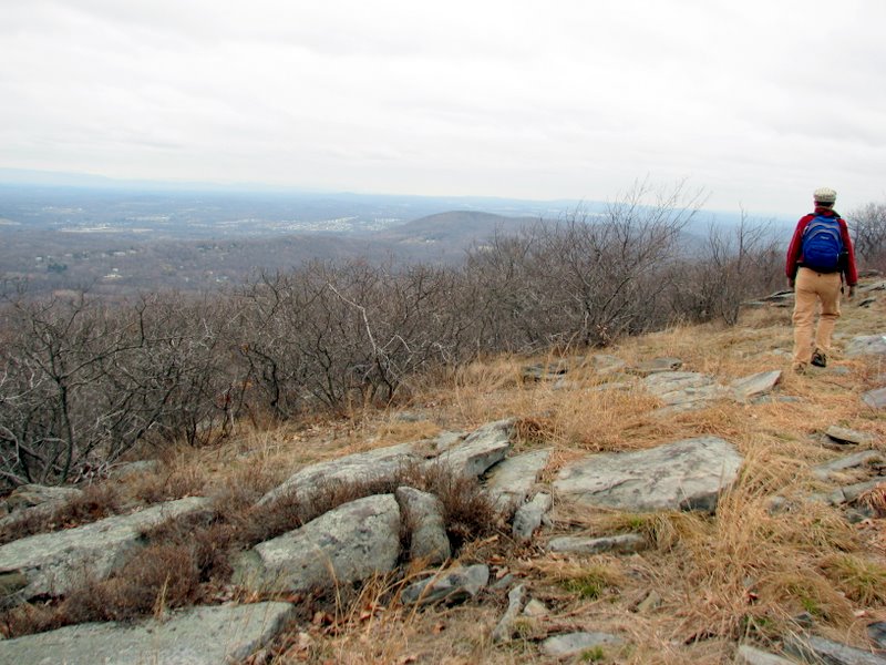
 Views abound (view NW) |
 View NW |
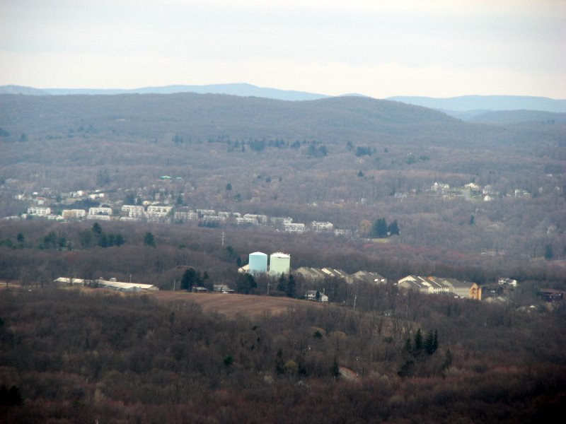
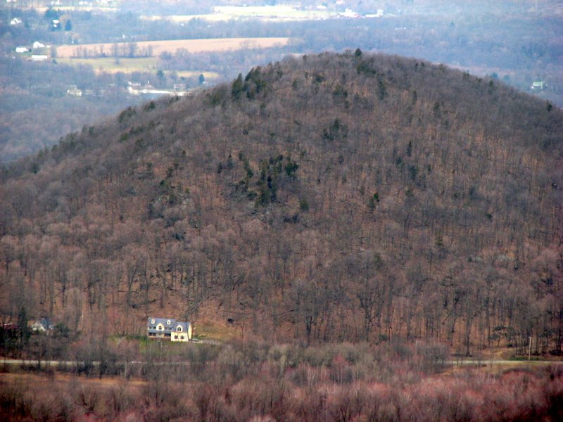 View west of house at base of mountain |
 Shawangunks (Hamilton Ridge) in mist |
 |
 Down into the hollow |
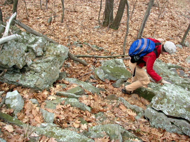
 Up again |
 |
 Another view west |
 |
 |
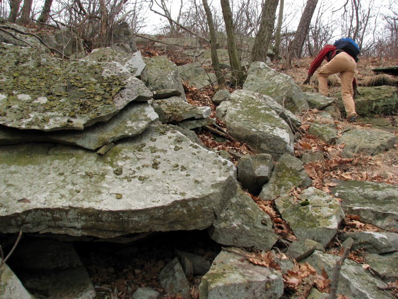
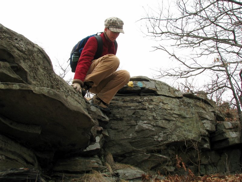
 Interesting limestone boulder |
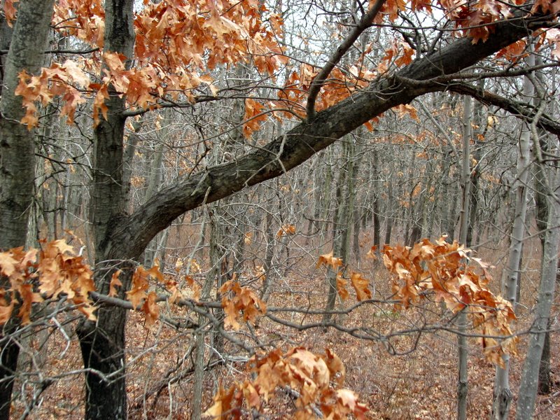
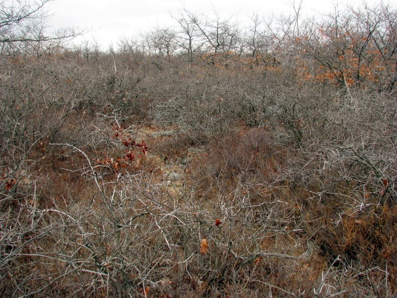
 Scrub oaks along the ridge |
 |
 View east |
 |
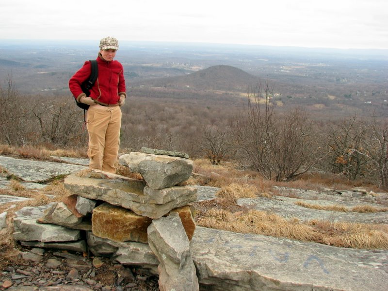
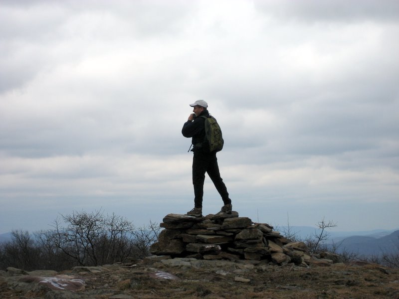
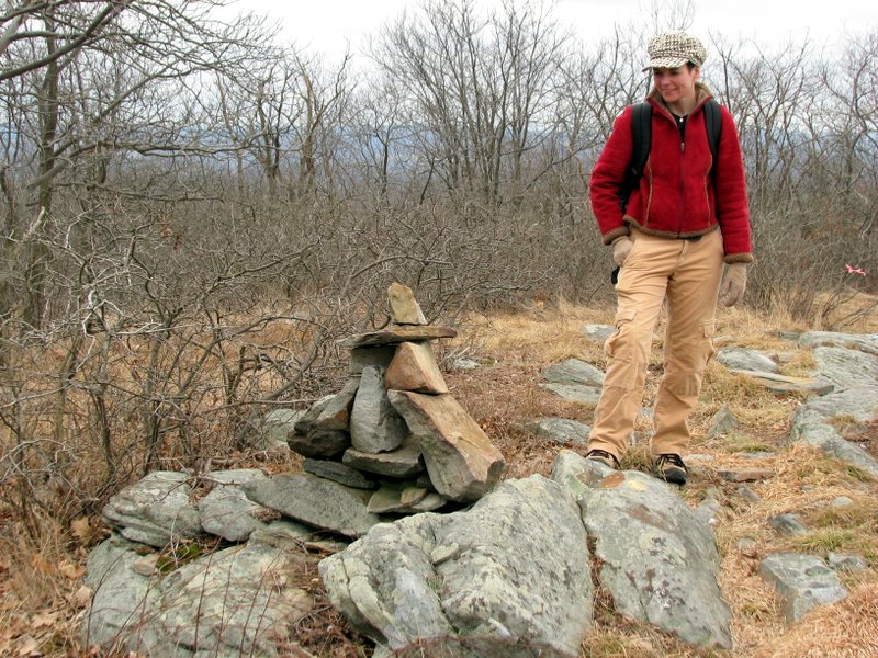 Many cairns on the ridge |
 |
 Our snack spot (came back here for lunch too) |
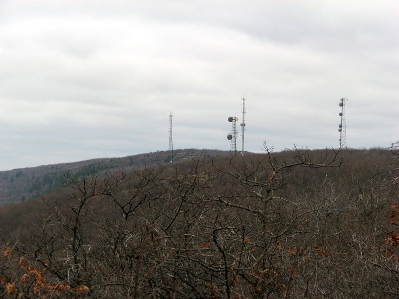 Aerial farm to the north |
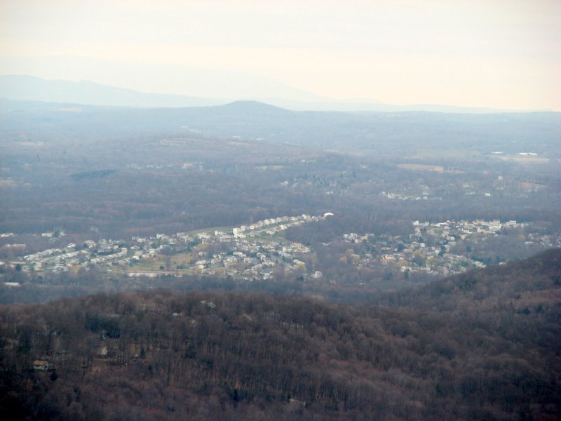
 What a view, west |
 Stewart International Airport |
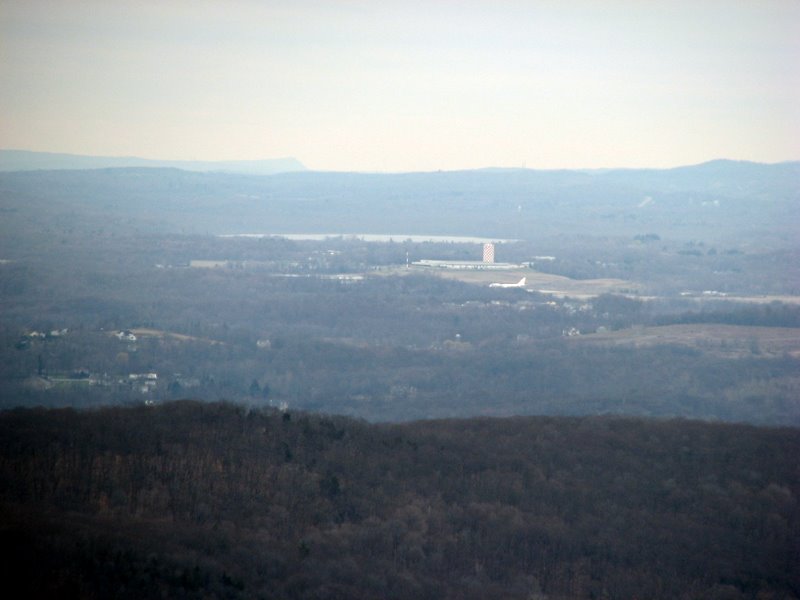 Airplane at airport |
 |
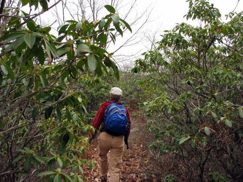 Mountain laurel thicket |
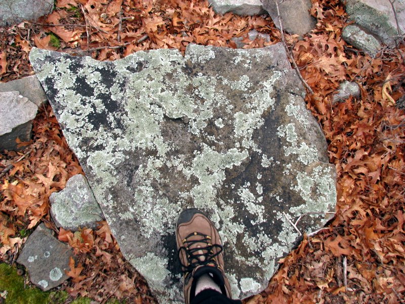 Beautiful lichen |
 |
 |
 |
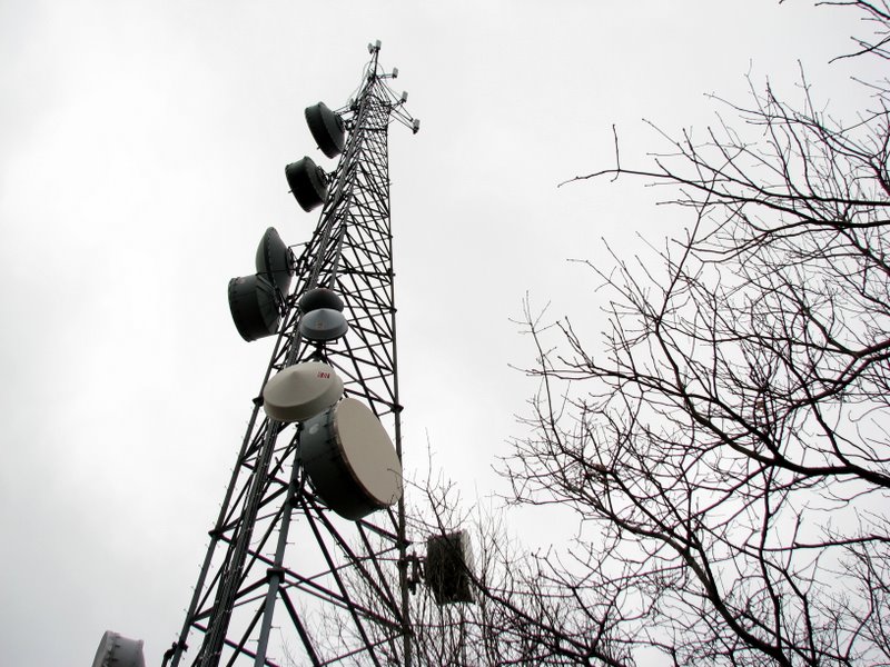 At the aerials |
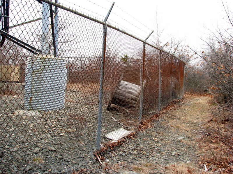 Jessup trail passes right by |
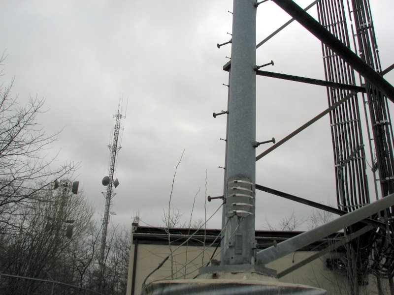 Other aerials just west |
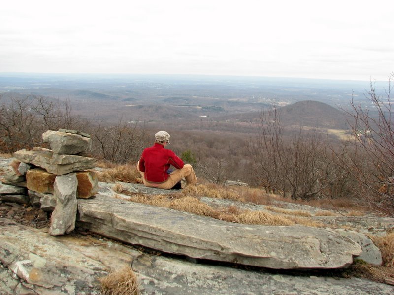
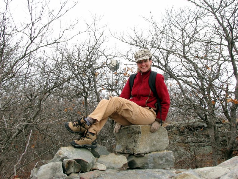 Sitting on a cairn |
 |
 Heading back |
 |
 Scrub oak |
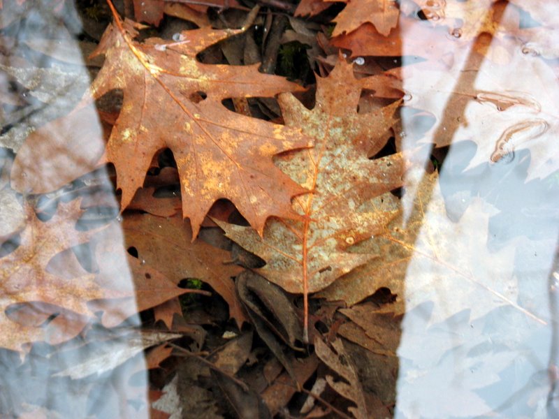 Leaves underwater |
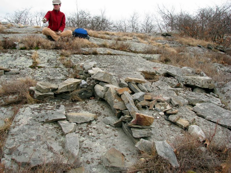 Crosses made of stone |
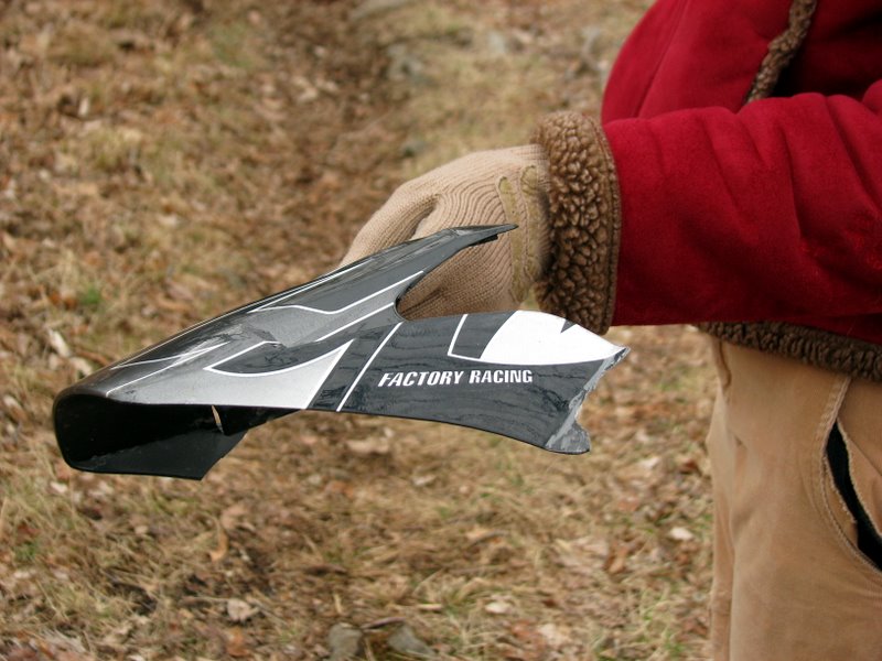 Piece of an ATV (we saw two on the ridge) |
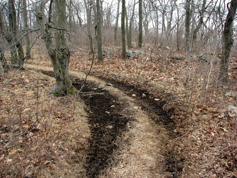 ATV damage |
 |
 View east |
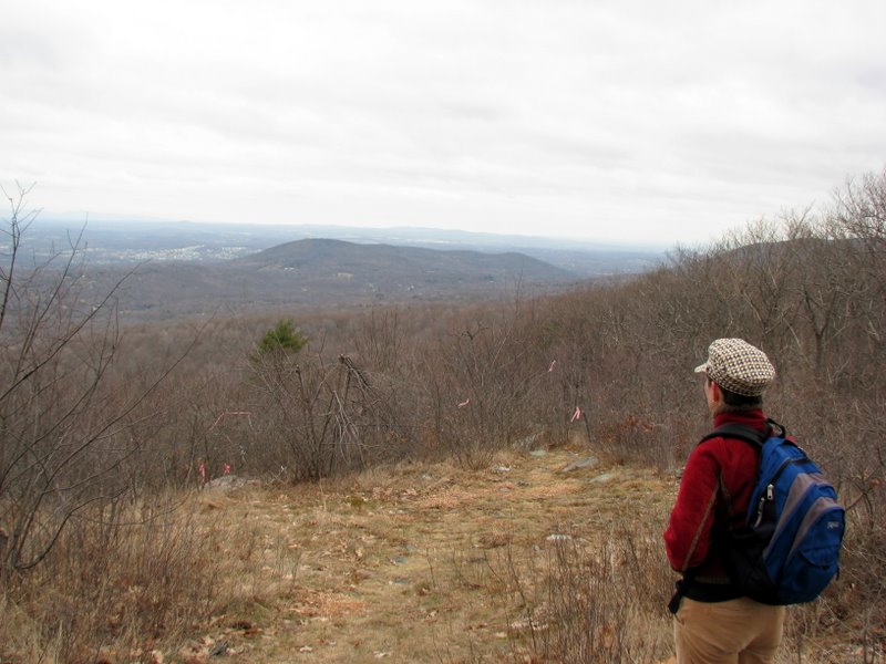
 Photographing the view east [photo by Laura] |
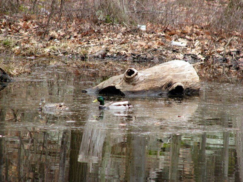 Mallards in pond off Seven Springs Road |

|
|
Photographs and content copyright © Dan Balogh Web design by Dan Balogh |