 |
|
This is Hike 13 ("Island Pond Ranger Cabin") from the book
Hiking the Road to Ruins with the addition of a one-mile out-and-back spur to Stahahe High Peak, which overlooks Lake Stahahe. A good part of
this hike is on unmarked trails, albeit ones that are very easy to follow (there are small portions of the spur to Stahahe High Peak, however, that require
a good woods sense). The highlight of the hike is the ruins of the ranger cabin at the southern tip of Island Pond, presumably "built for the park rangers
to party and entertain". It was burnt down in 1963 by vandals. While the first half of the hike is on sparsely used trails, the second half is on very
popular trails, where we saw dozens of hikers on this beautiful afternoon. Total distance covered was about 6.8 miles.
|
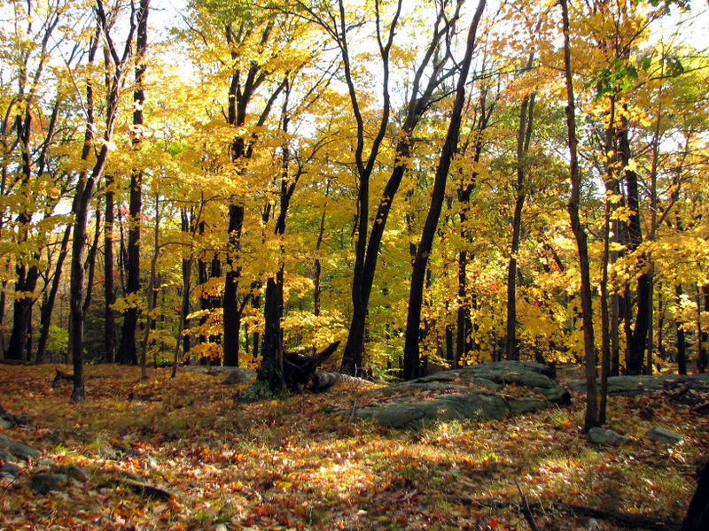
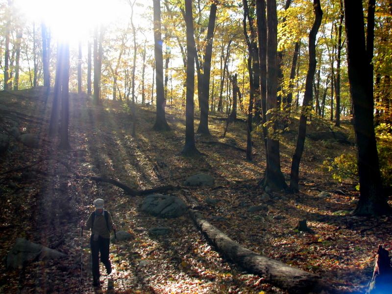
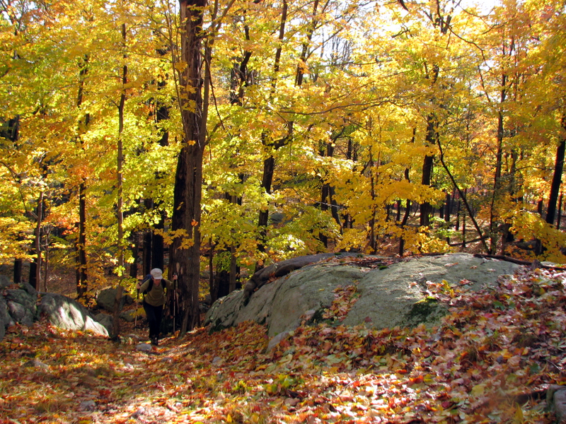
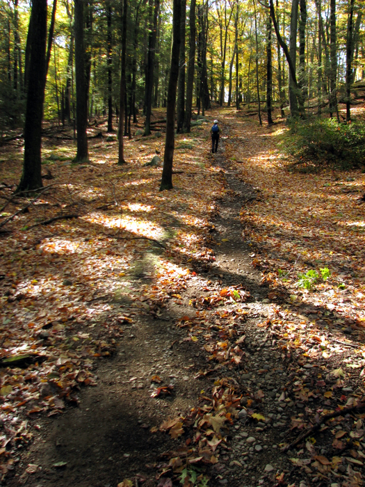
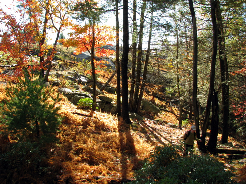
 At the trail head |
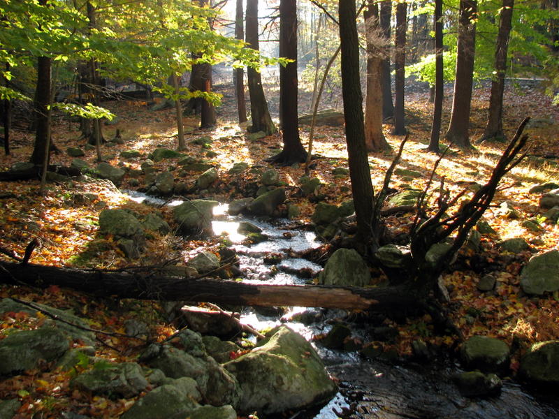 |
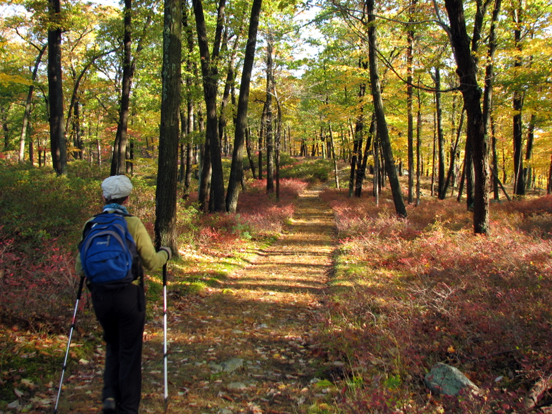
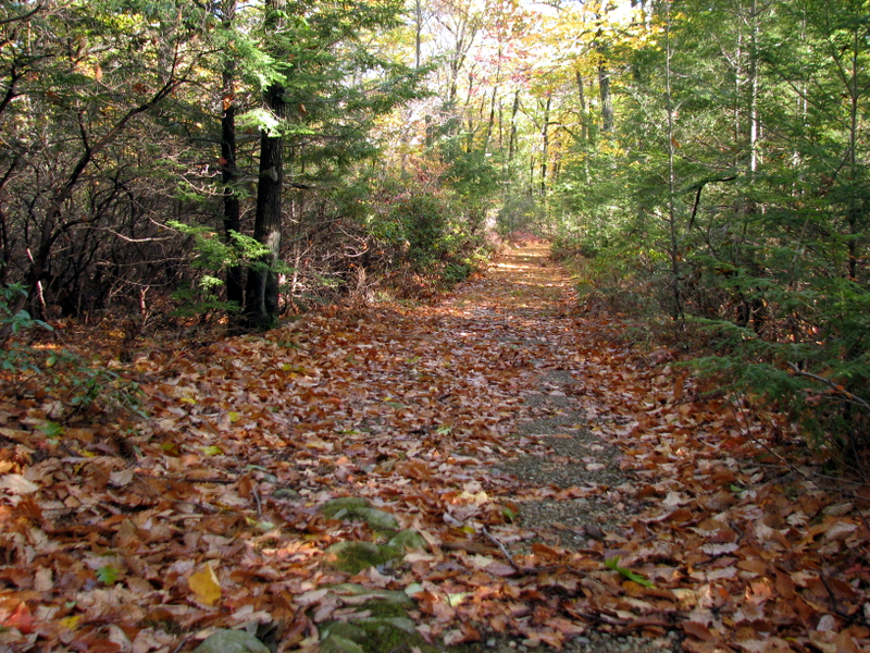
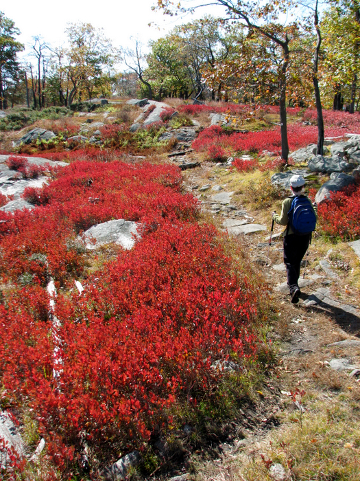
 Island Pond Road |
 |
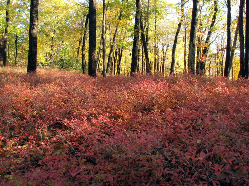 Fall blueberry bushes |
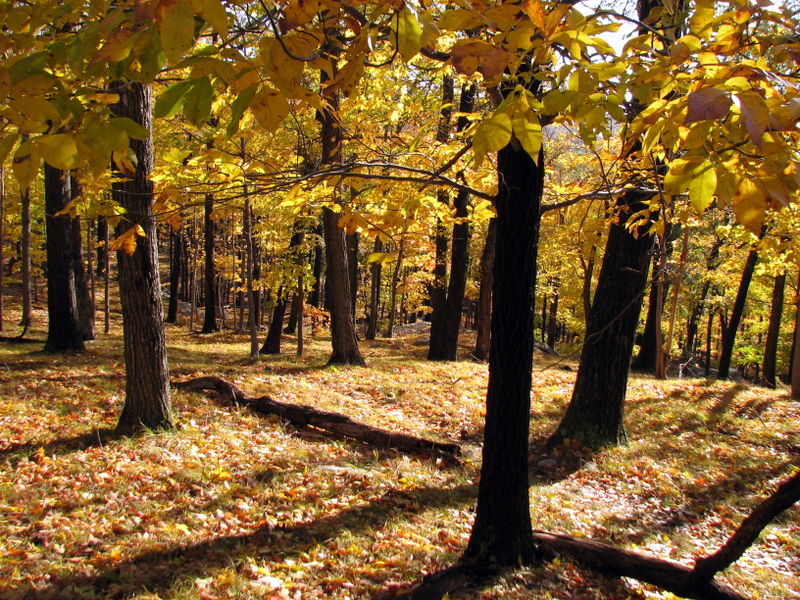
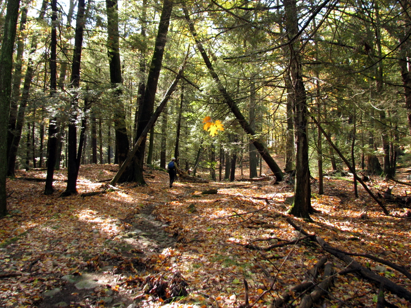
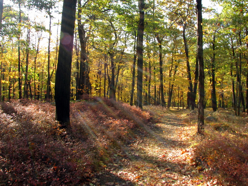 Beautiful Island Pond Road |
 |
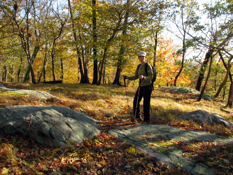
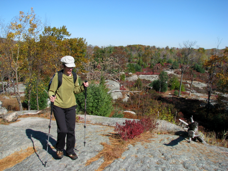
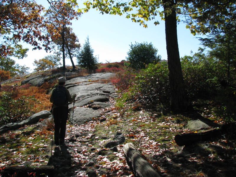
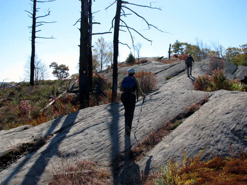
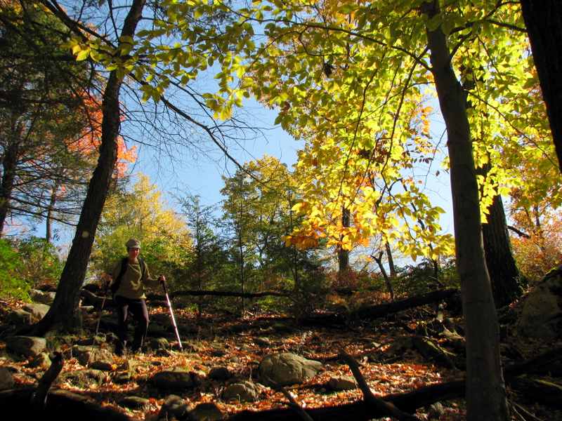
 Spur trail to Stahahe High Peak |
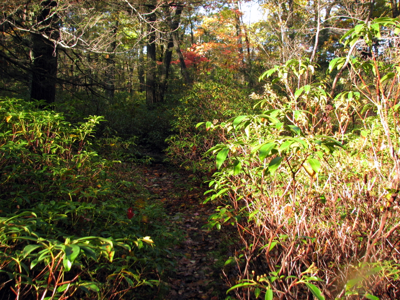 Mountain Laurel on spur trail |
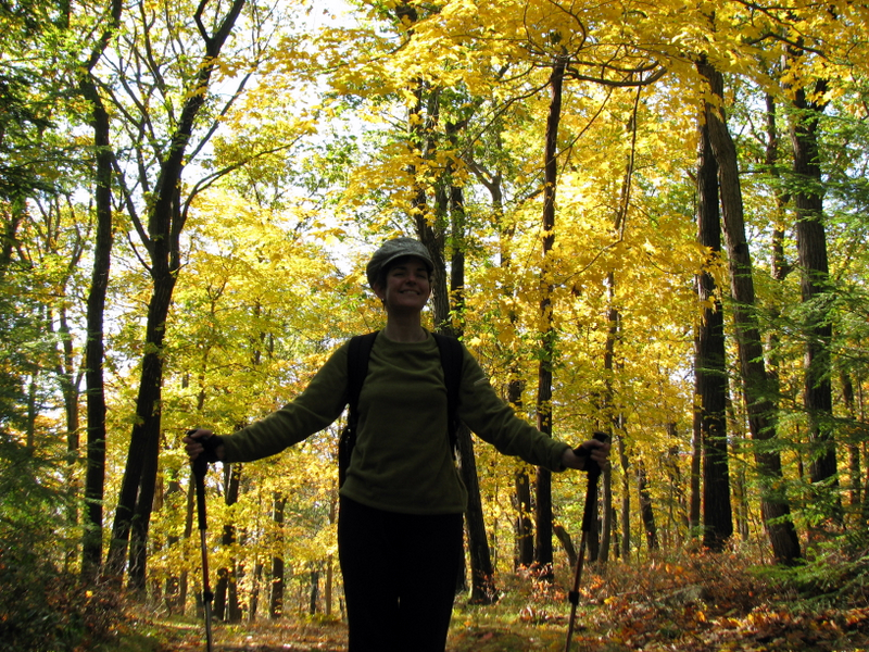
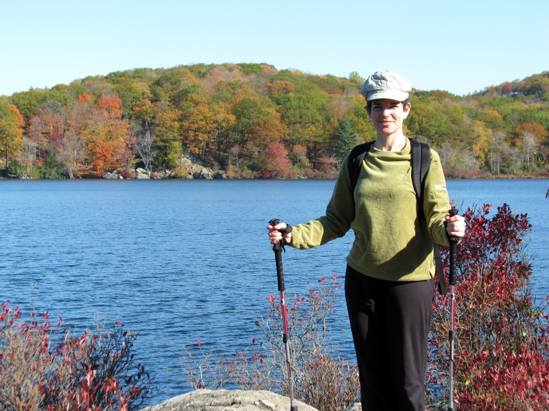
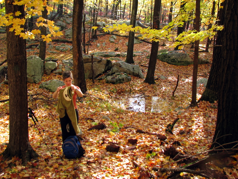 Off comes a layer |
 |
 |
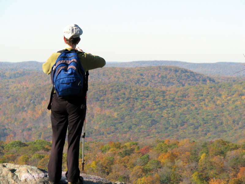
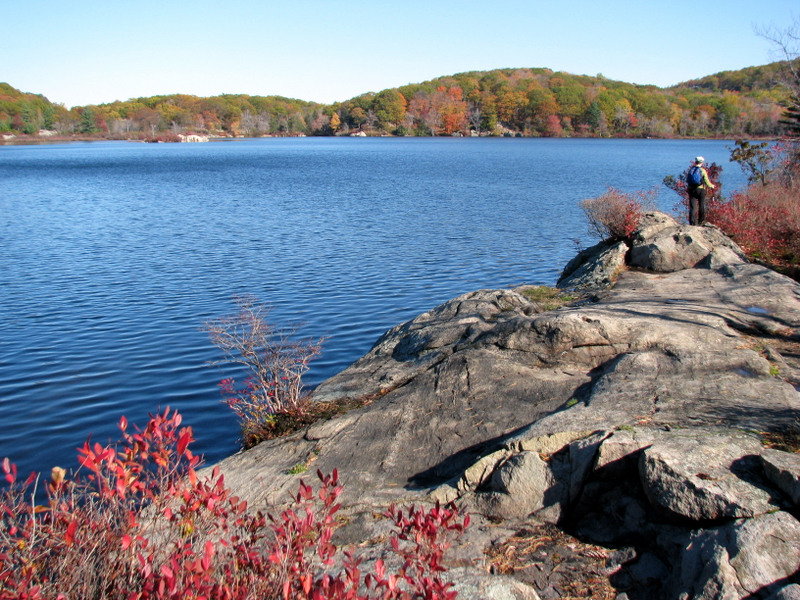
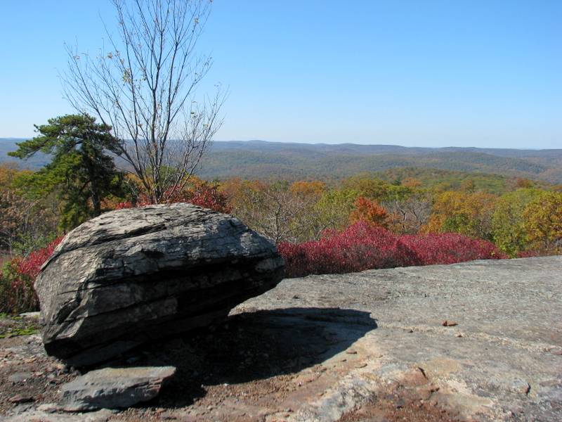
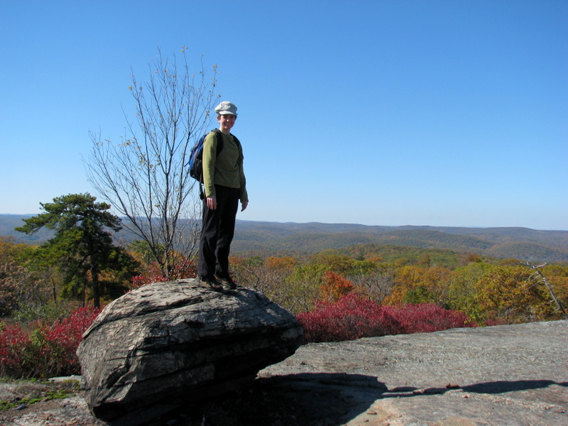
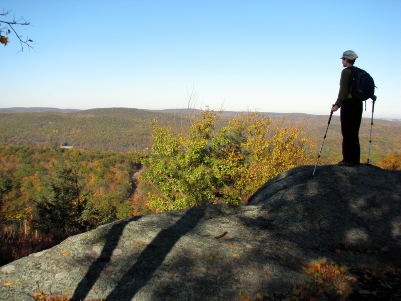 First look-out from Stahahe spur |
 View west |
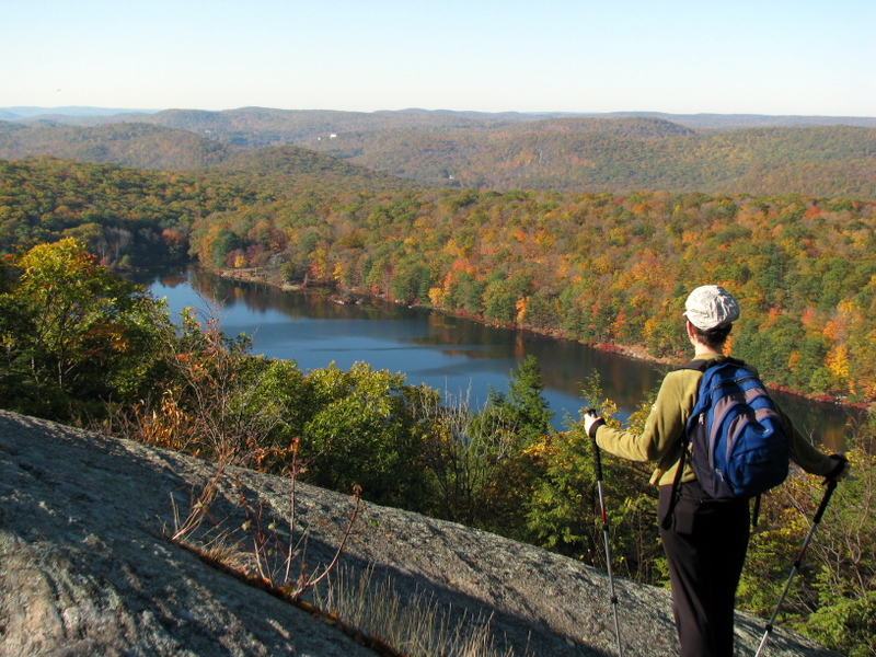
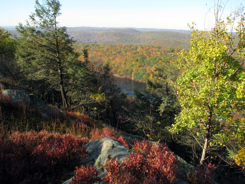 View of Lake Stahahe |
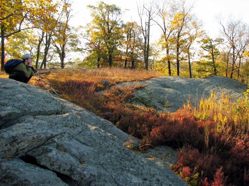 |
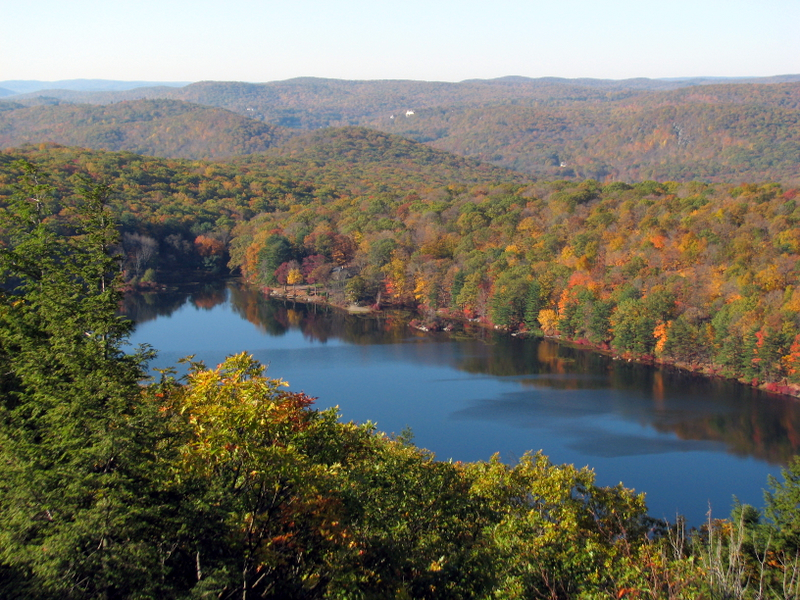
 Second look-out from Stahahe High Peak |
 Lake Stahahe |
 |
 |
 |
 |
 |
 Back on Island Pond Road |
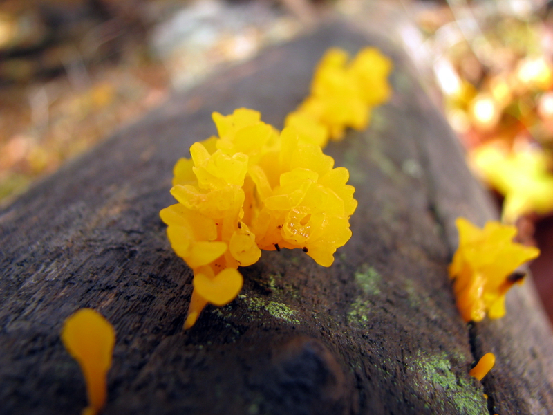 Tiny mushrooms |
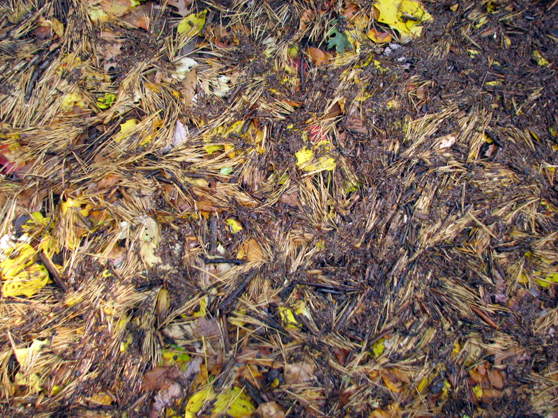 Pine needle art |
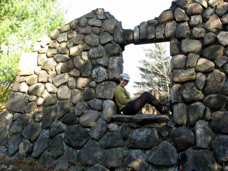
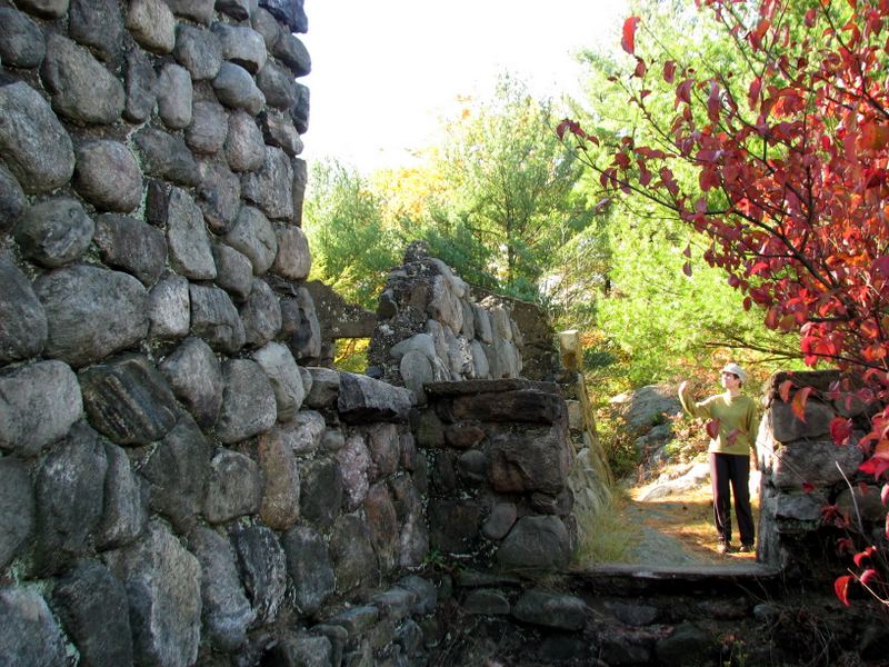
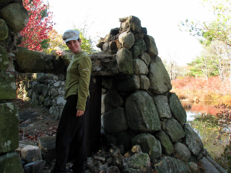
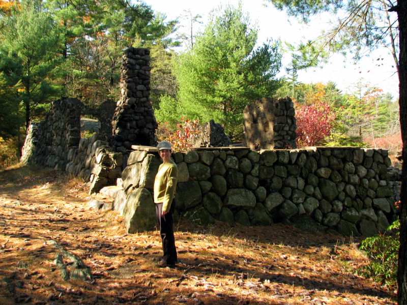
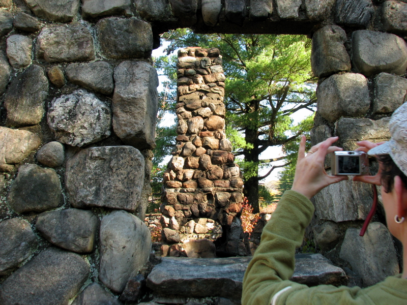 Ranger cabin ruins |
 |
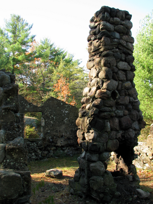
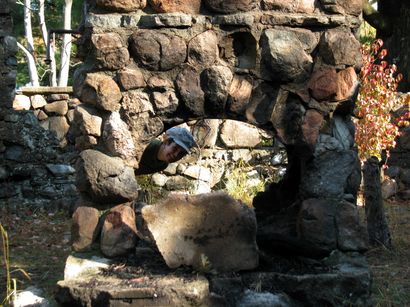 The fireplace |
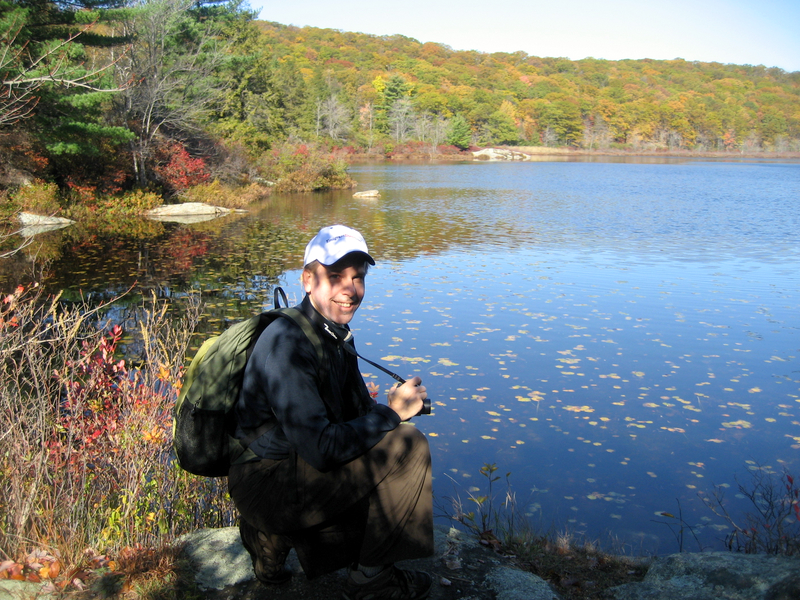
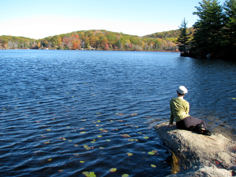
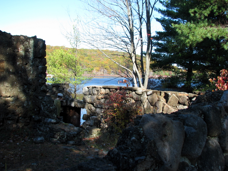 Island Pond from the cabin |
 |
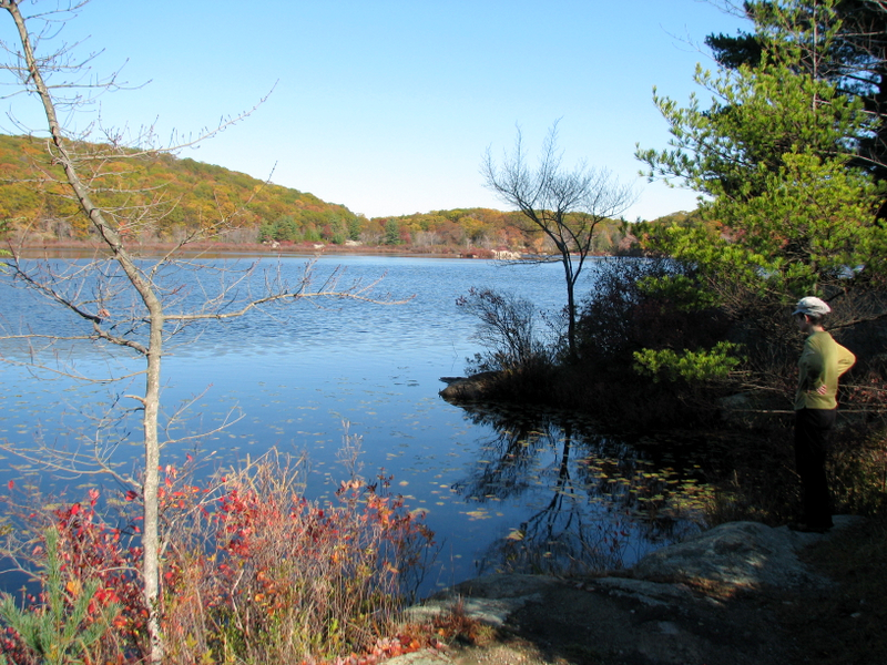 Island Pond |
 [Photo by Laura] |
 |
 |
 |
 Island Pond |
 The Little Mermaid? |
 |
 |
 |
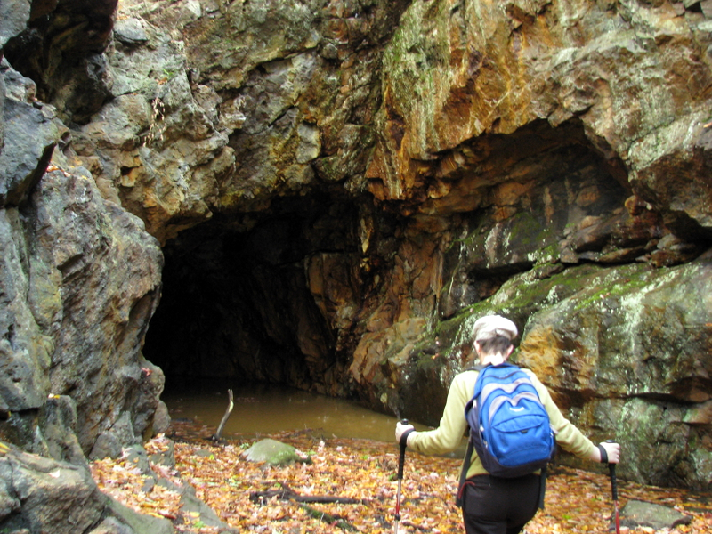 Boston Mine |
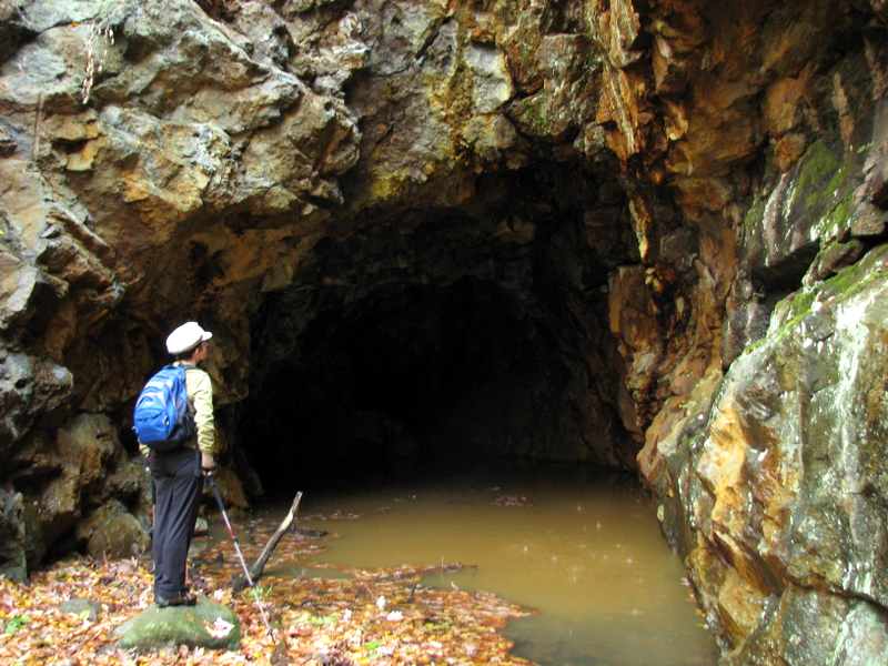 Boston Mine |
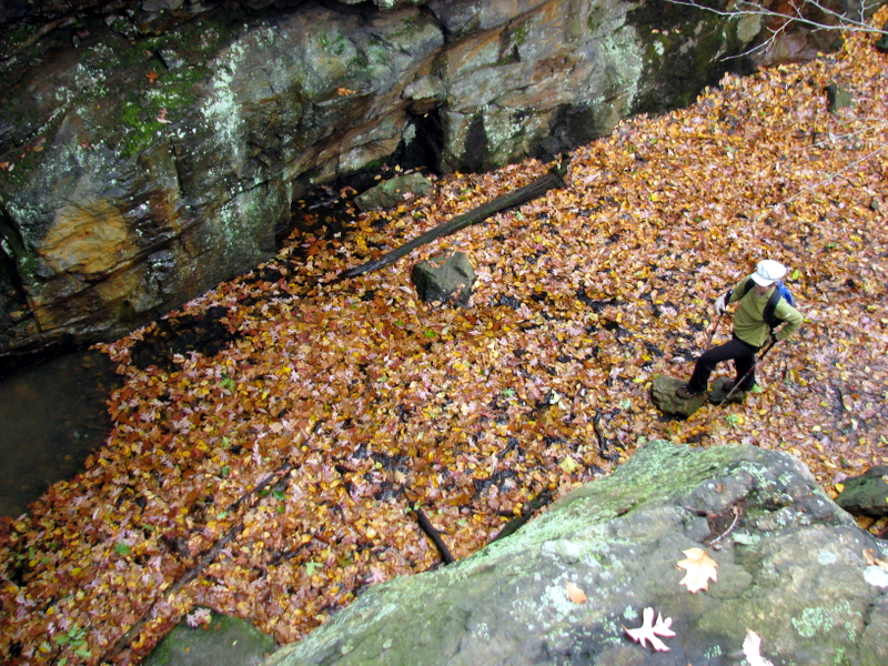 View from the top |
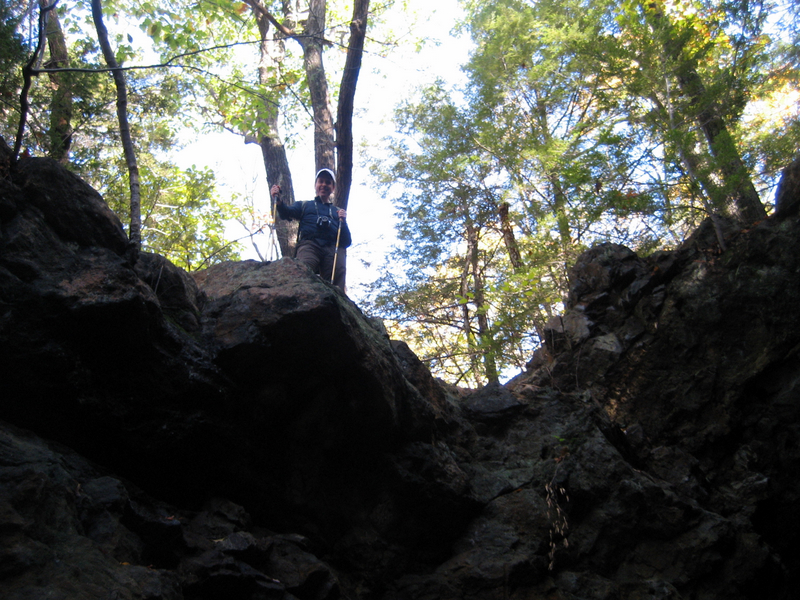 Dan on top [Photo by Laura] |
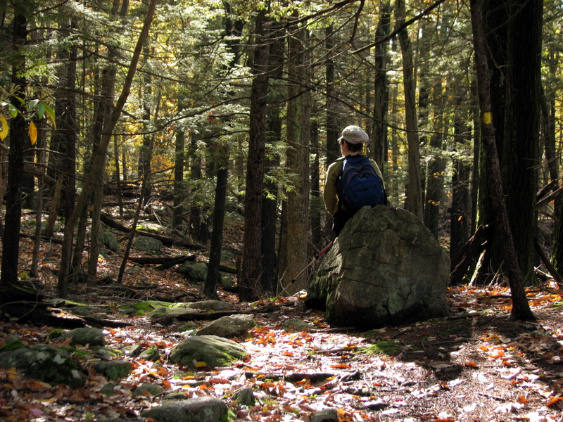 Taking a break on Dunning Trail |
 |
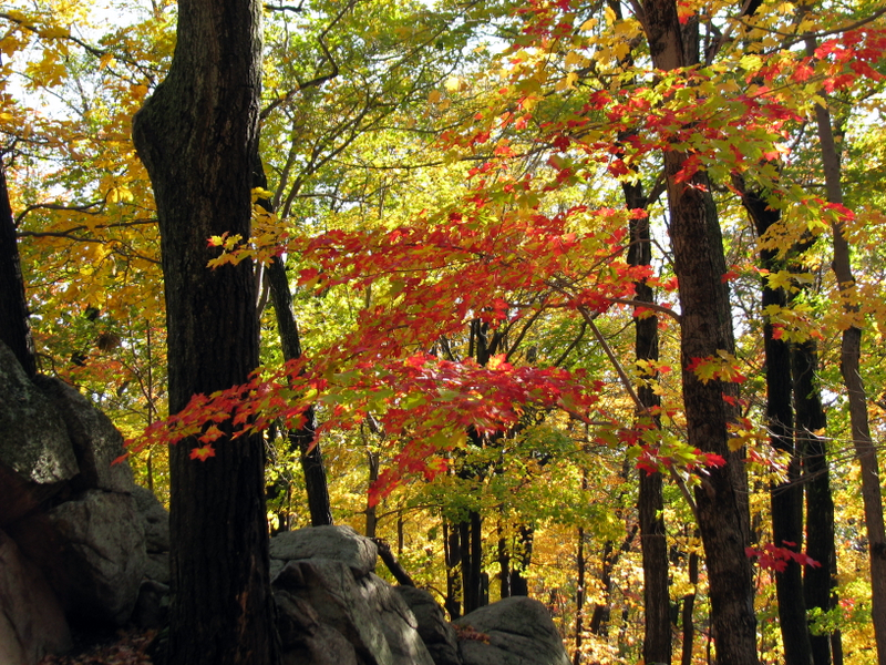
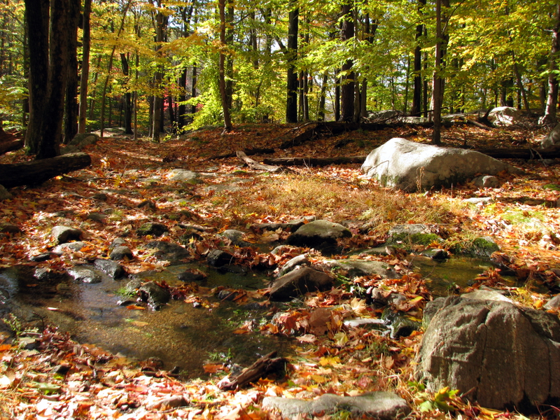
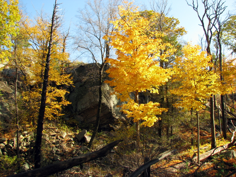 Striking foliage |
 |
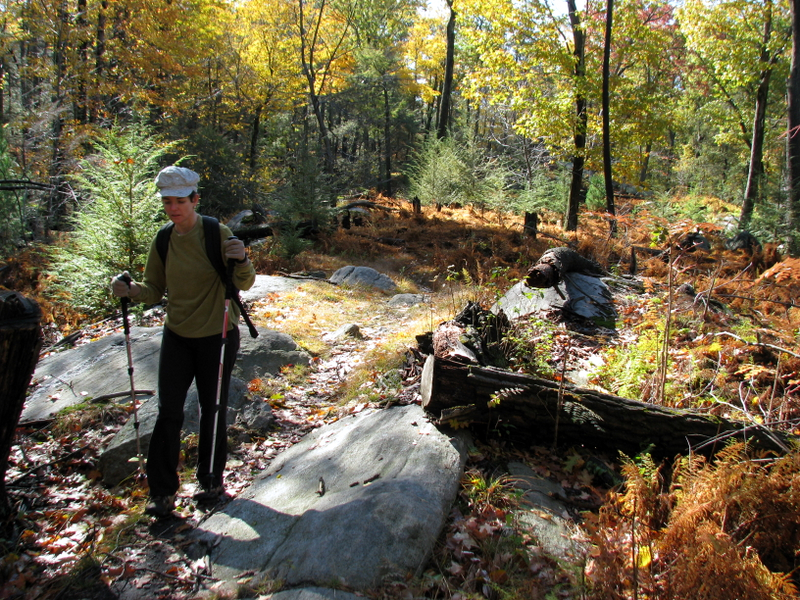
 On Ramapo-Dunderberg trail |
 Our lunch spot |
 |
 View west from R-D trail |
 |
 |
 [Photo by Laura] |
 |
 |
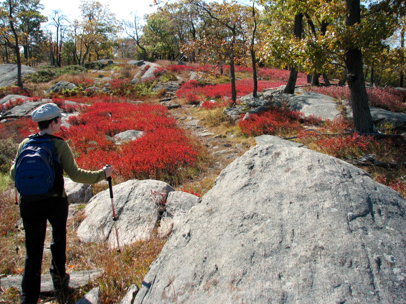 Striking blueberry bushes on R-D trail |
 |
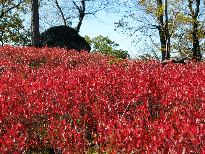 Blueberry bushes |
 Fellow hikers on overlook |
 On Nurian trail |
 |

|
|
Photographs and content copyright © Dan Balogh Web design by Dan Balogh |