 |
|
For some time I've been interesting in doing a hike starting at the Harriman chuch named St. John's in the Wilderness. The church has an interesting, and sad,
history. It was
built by Margaret Zimmerman in memory of her husband John who died on their honeymoon in Palestine by choking on a pomegranate seed!
This morning we headed to the church, visiting the grounds and cemetery and then doing a lollipop that
I invented yesterday incorporating parts of a hike from the book 10 Hikes in Harriman
Park and More but with additional mileage on, what else, woods roads!
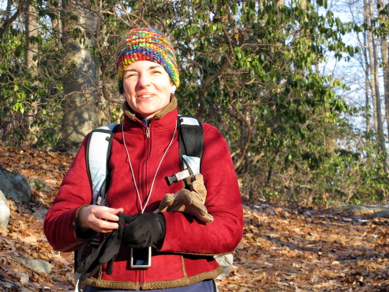
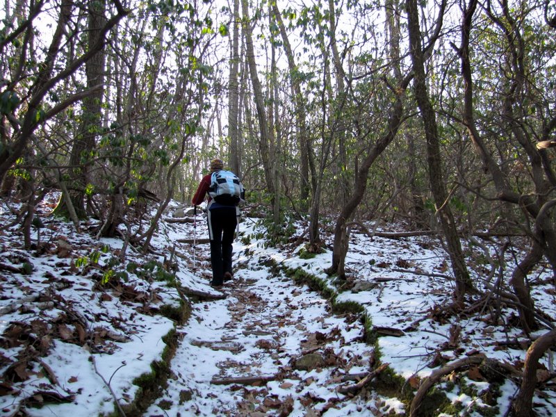
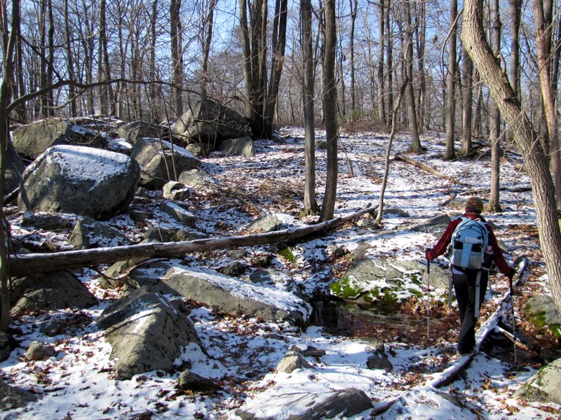
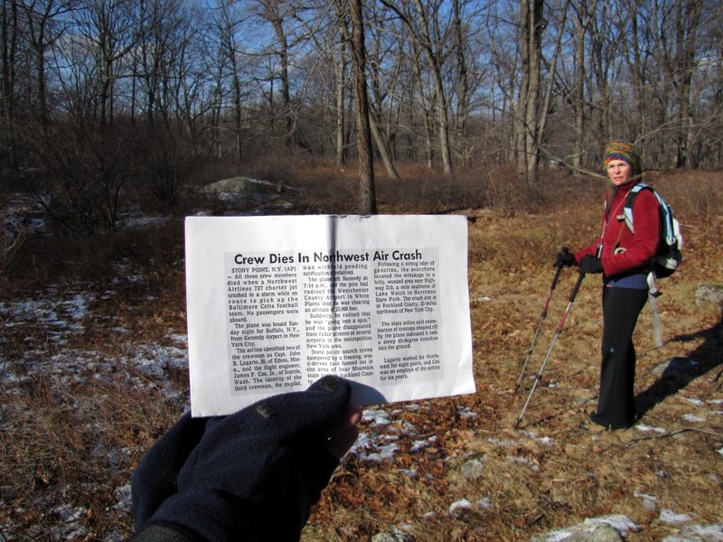
We started by heading east on the church road and turning right on a lovely unblazed laurel-lined path heading south. In little time this path joined the Long Path which we took south to a camp road which headed south to campsite at the northern bank of Breakneck Pond. Continuing to follow the description in the book, we found an unmaintained trail on the side of cabin 218 on the NW part of the lake. We climbed this steep, icy path south to the Breakneck Mountain trail, turning left. Within five minutes we turned right on the Suffern-Bear Mountain trail and took that south to the Third Reservoir but instead of turning left at this point (as indicated in the book), we continued south climbing Ladentown mountain and then making a left on Woodtown Road on the other side of the mountain. We took this beautiful icy woods road NE all the way to the Second Reservoir where we crossed the earthen dam and then found the Second Reservoir trail near the northern bank. We made a right on that woods road and took it north to the Long Path. We made a left on the LP, took it past the Big Hill shelter and then all the way back to the laurel path near the church. This last leg of the LP passed through a rather eerie area, if you know the story. There's a small open area encountered after passing some huge boulders. One expects such open areas at power line cuts or the rights of way of telephone lines. No such right of way is here, however. The area is still relatively open and ungrown because of what happened here on December 1, 1974. Northwest Airlines flight 6231, a Boeing 727, had taken off from JFK airport at 7:14 PM. The plane was empty, except for three crewmen. It was heading to Buffalo, NY to pick up the Baltimore Colts football team. Soon after reaching an altitude of 20,000 feet it went into a spin and crashed right in this open area. There were no survivors. Based on how the tops of the trees had been sheared off, police said the plane came in at a 45-degree nosedive. The strong odor of gasoline is what led them to the wreckage. Total distance hiked today was 5.8 miles, in 3.5 hours.
|
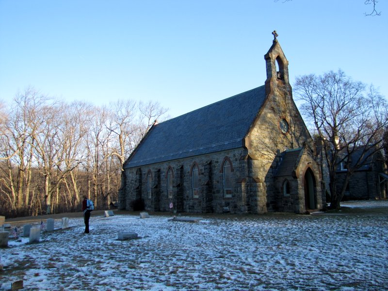 St. John's |
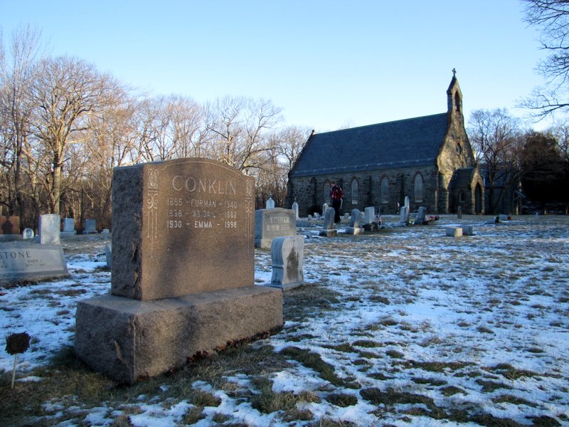 A Conklin grave |
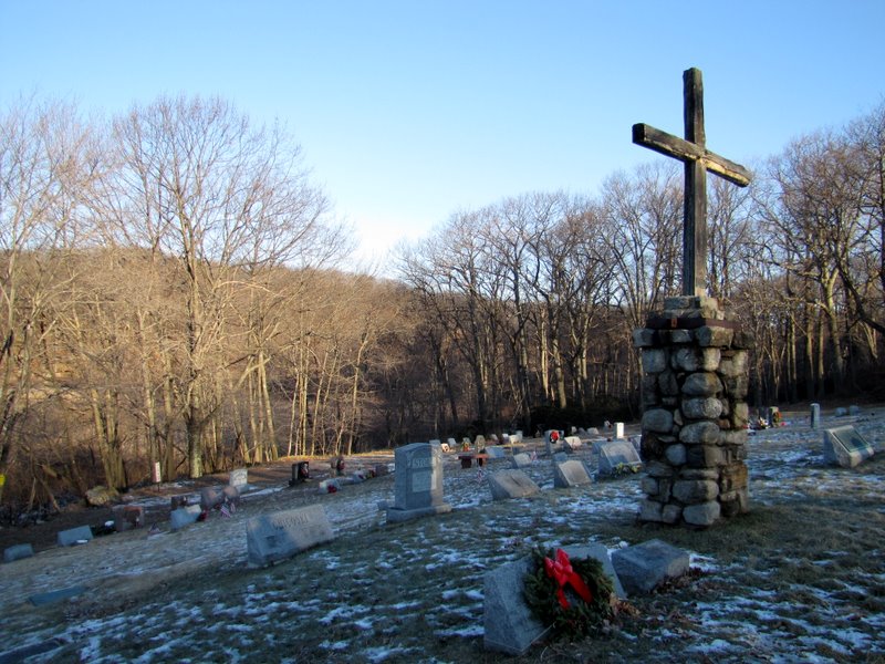 Cross overlooking cemetery |
 [Photo by Laura] |
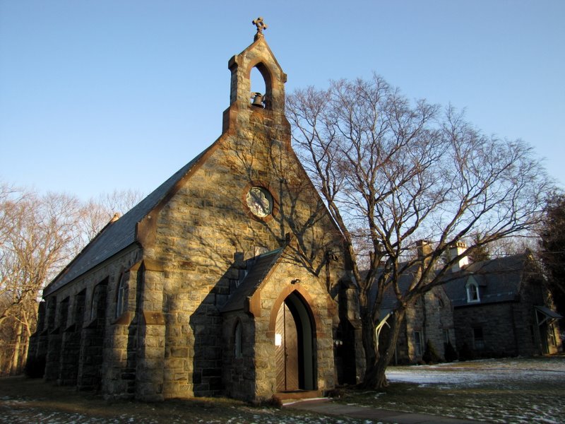 Church in beautiful morning sun |
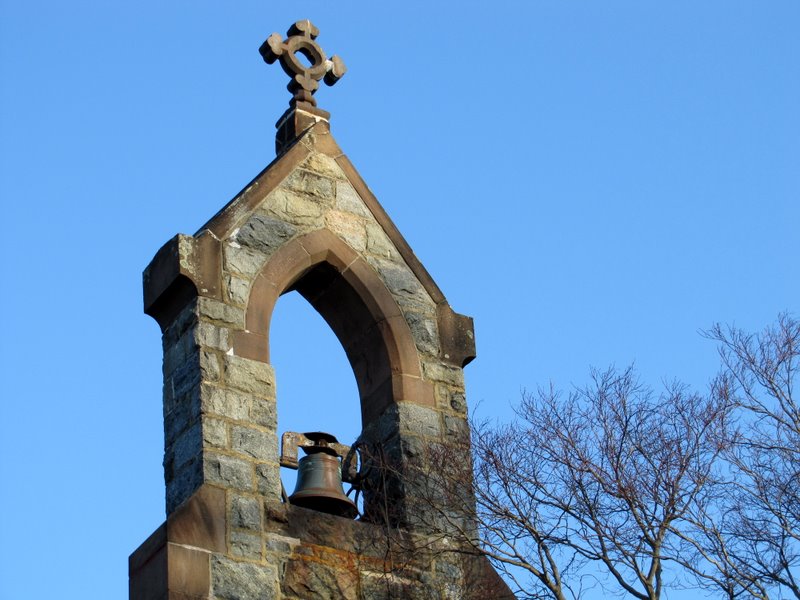 The bell tower |
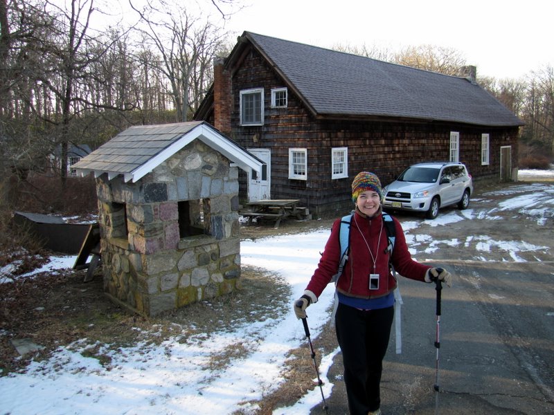 We parked across the street |
 The laurel-lined path |
 |
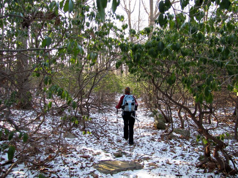
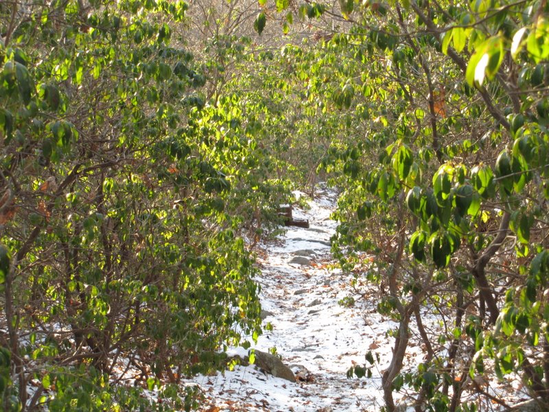 Dense Mountain Laurel thicket |
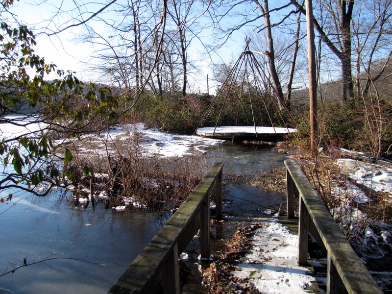
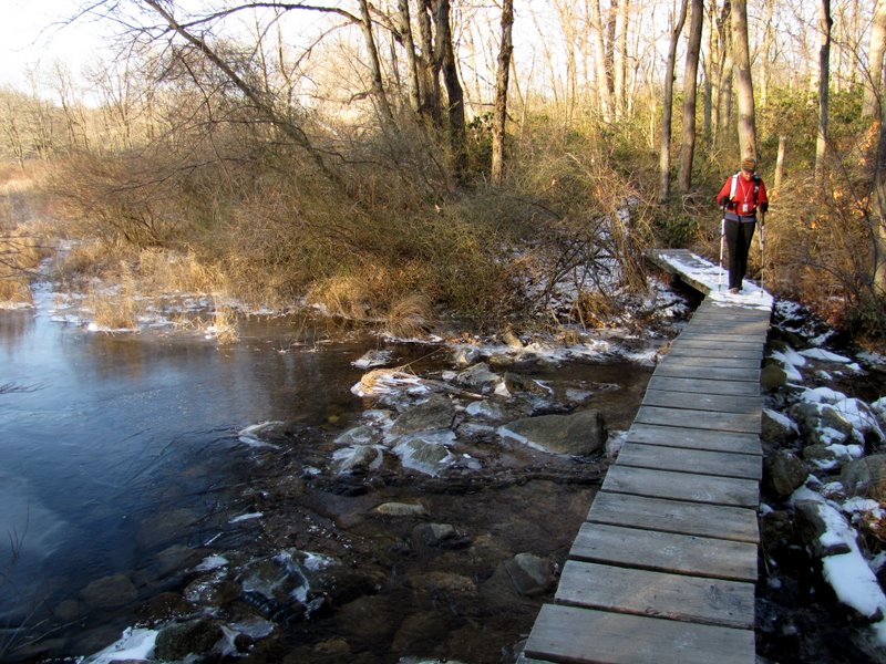 Bridge over Pond Brook |
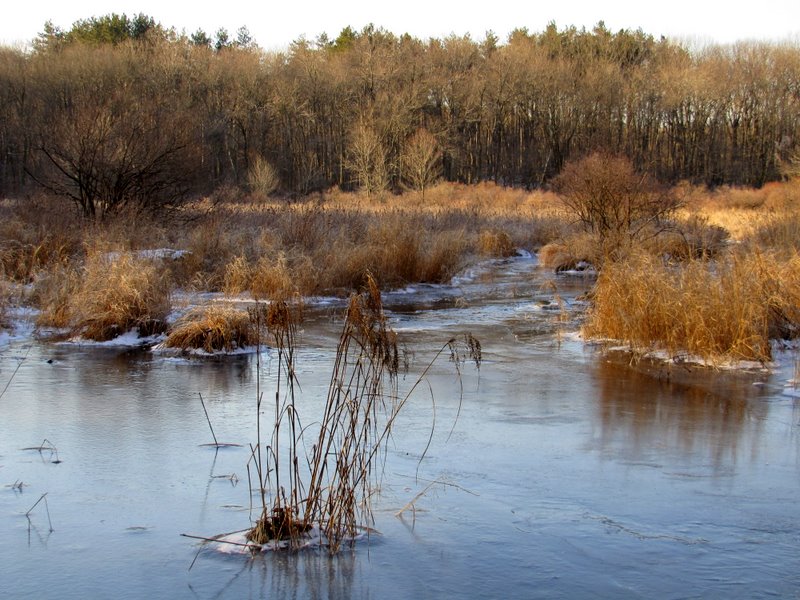 Swamp west |
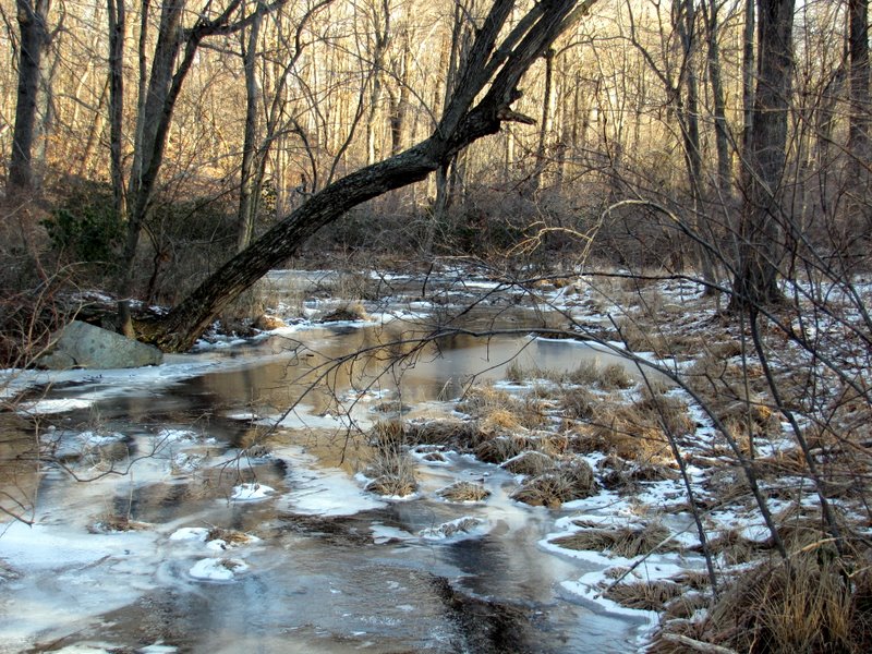 Brook east |
 Tall pines ... |
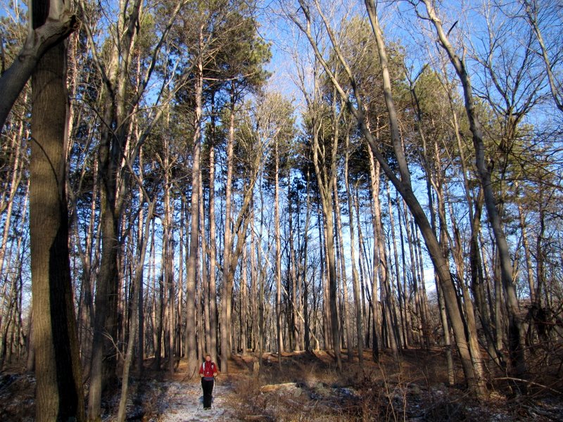 ... dwarf Laura |
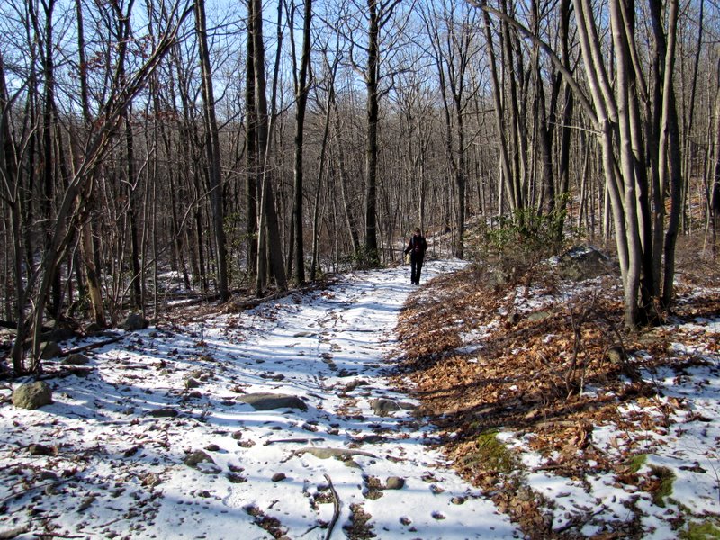
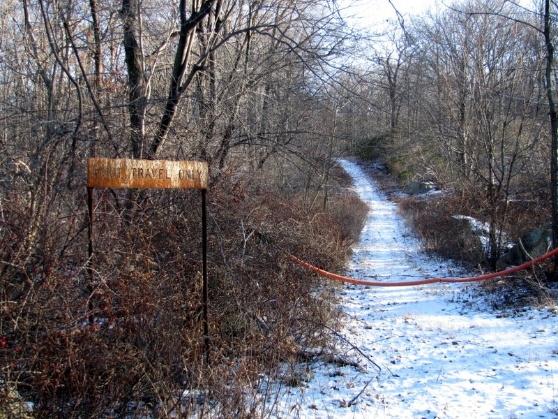 A snowy Old Turnpike |
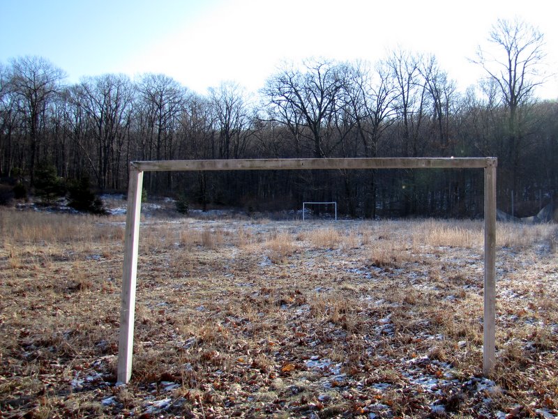 Abandoned camp soccer field |
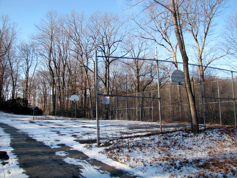 Camp basketball court |
 Road to camp |
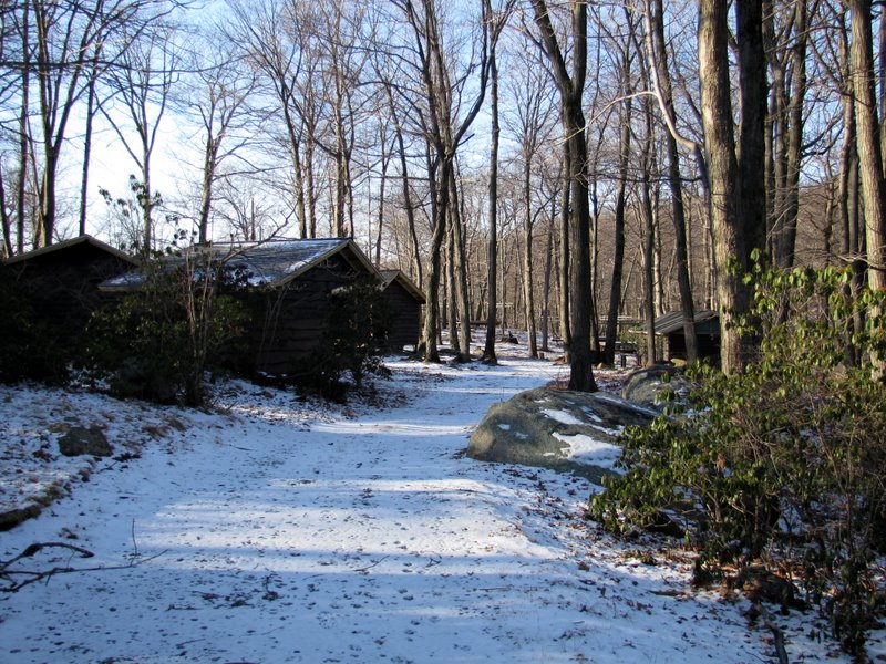
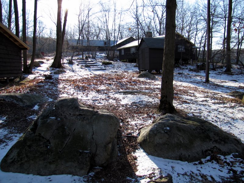 Camp buildings |
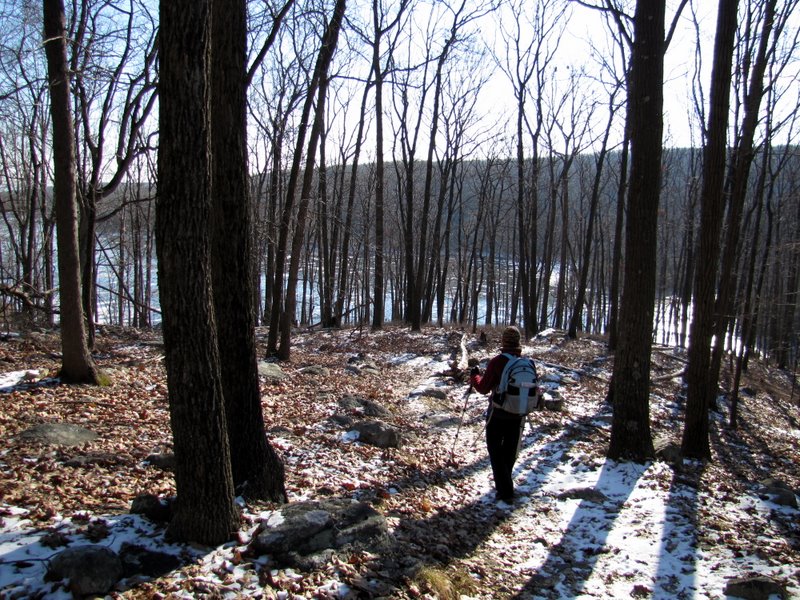
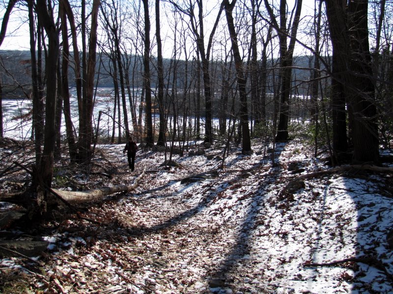
 Northern tip of Breakneck Pond |
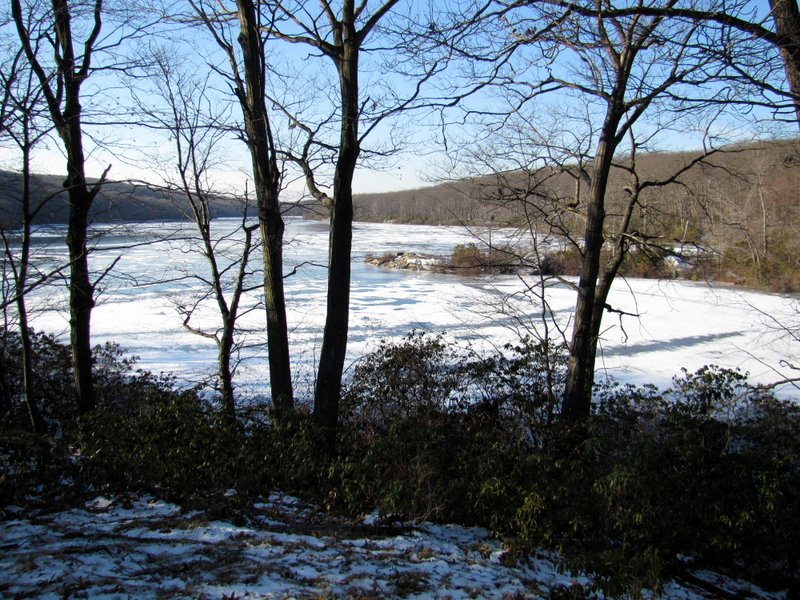
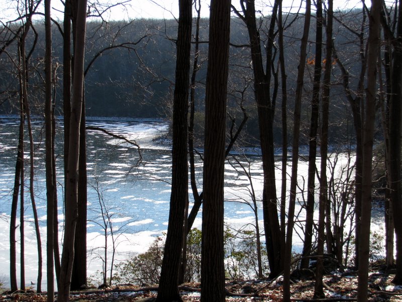
 Breakneck Pond |
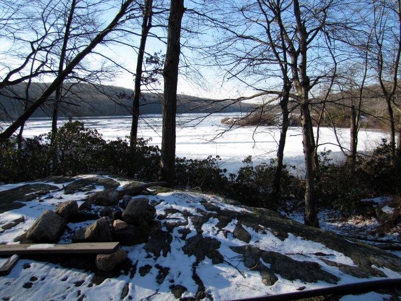 Breakneck Pond through trees |
 |
 Cabin 218 |
 At unmaintained trailhead |
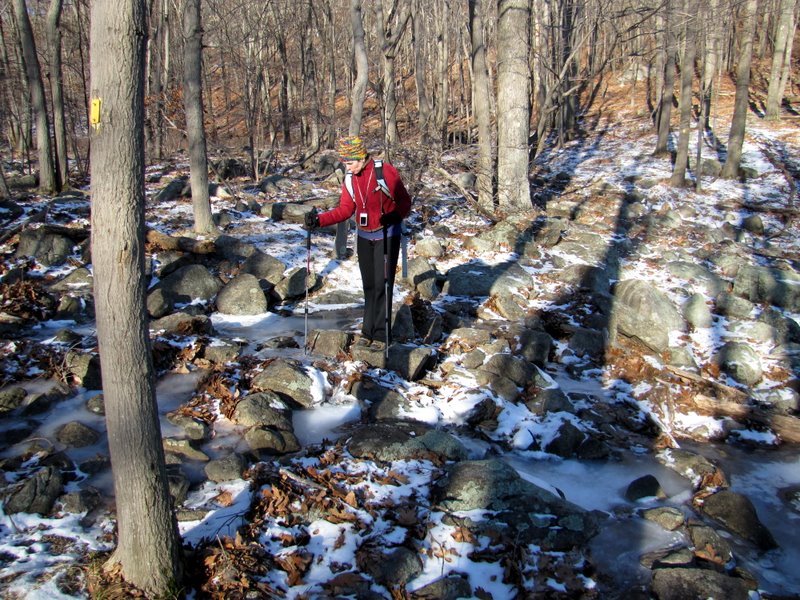
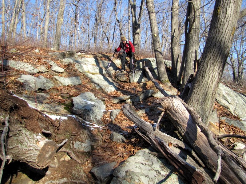
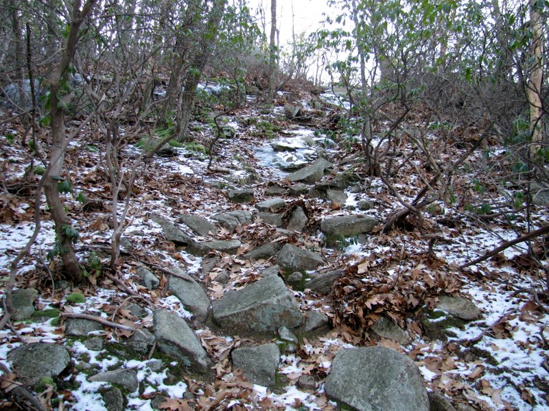 It climbs steeply |
 And it was icy in spots |
 Near intersection with Breakneck Mt. trail |
 Heading down to Third Reservoir |
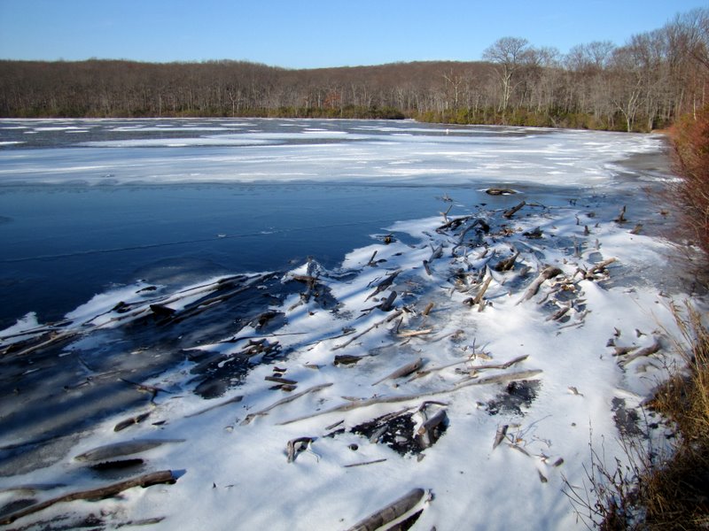
 Third Reservoir |
 |
 |
 SW tip of Third Reservoir |
 |
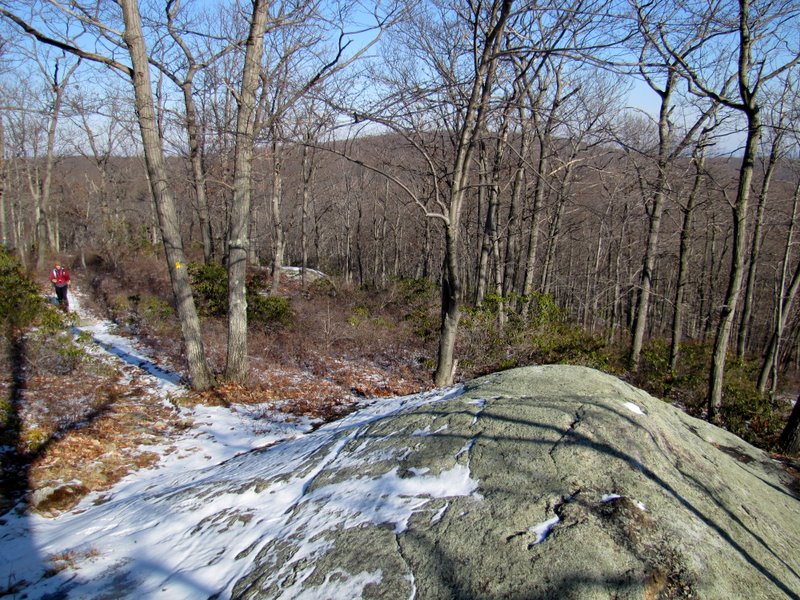
 Climbing the S-BM on Ladentown Mtn. |
 The summit of Ladentown Mtn. |
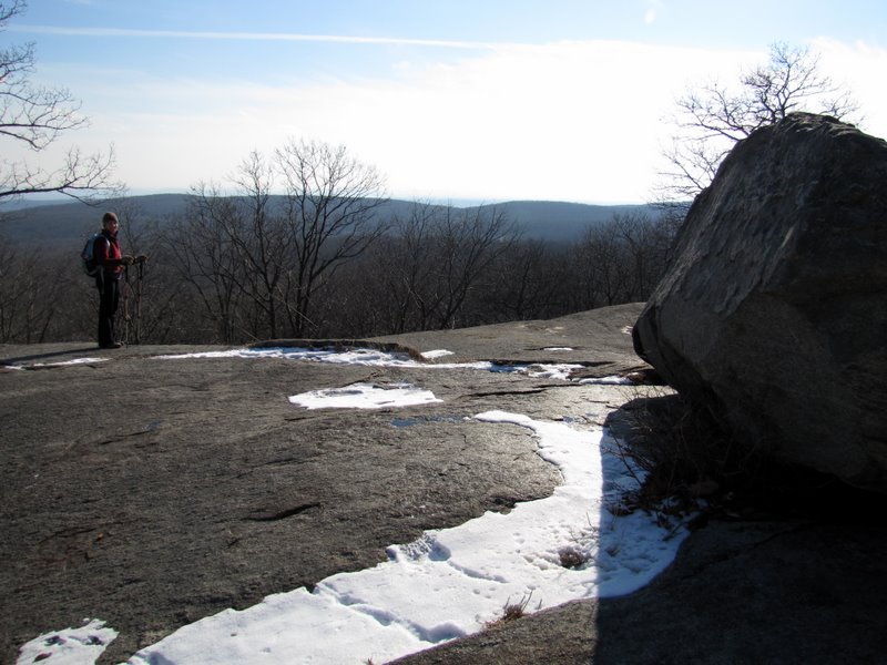
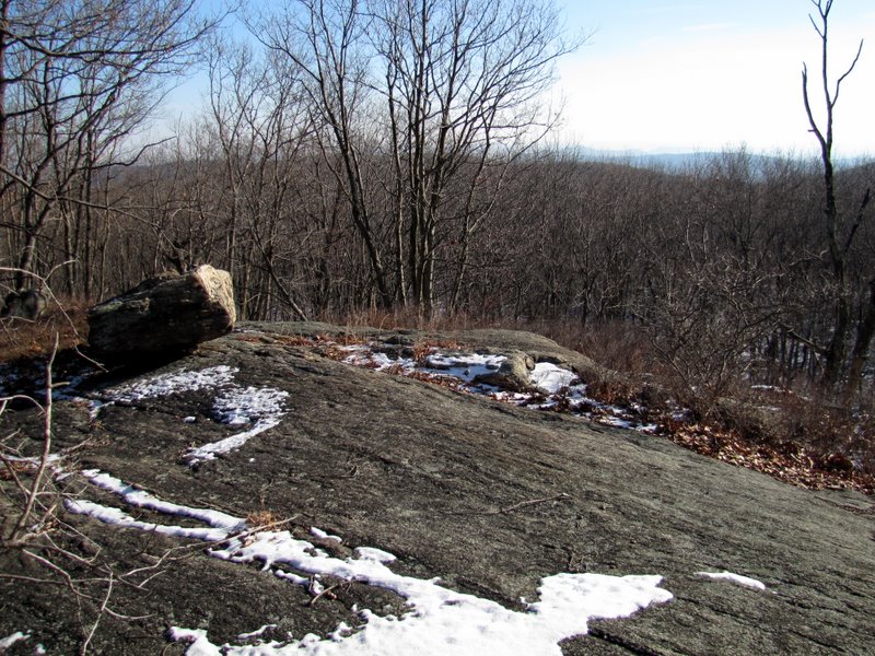 Partial views NE |
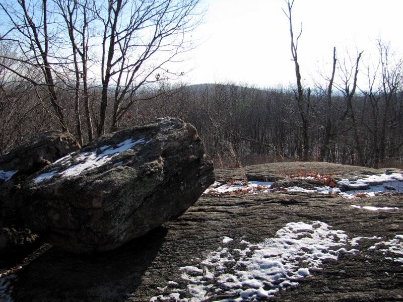
 View east |
 Glacial erratic |
 Now ascending Ladentown Mtn. |
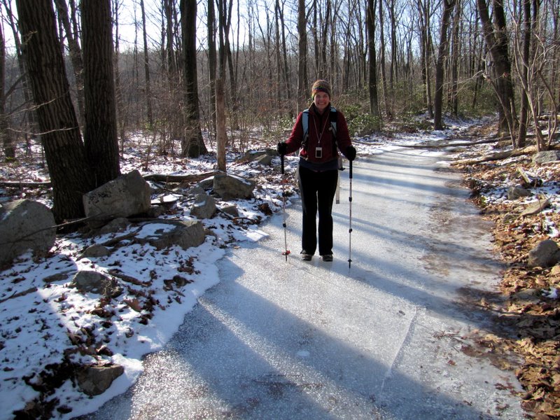
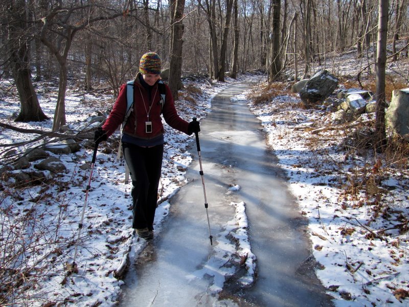
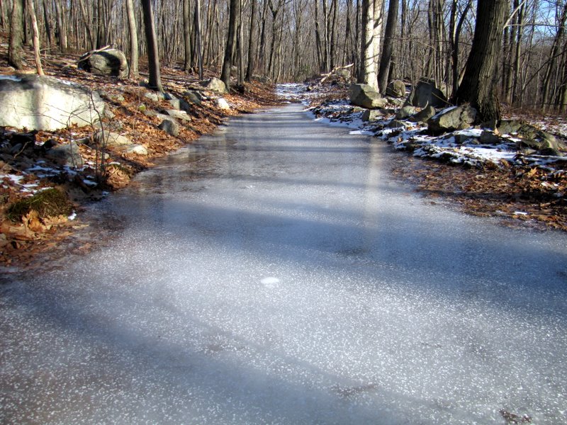 An icy Woodtown Road |
 Looking west |
 Looking east [photo by Laura] |
 |
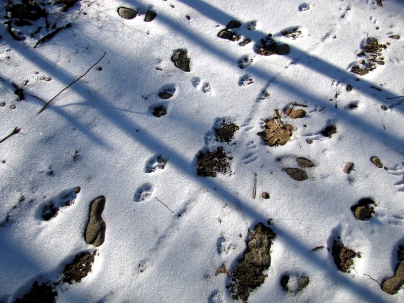 Tiny critter tracks |
 Frozen swamp off road |
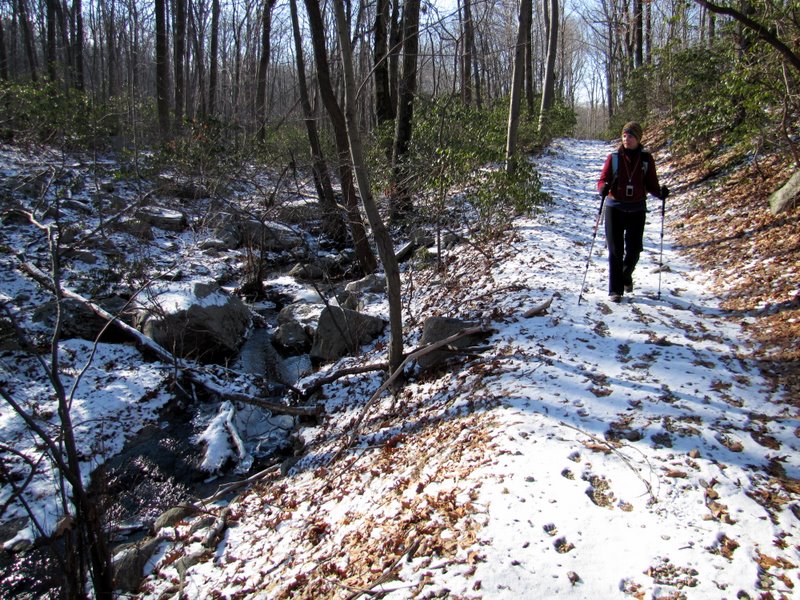 Road parallels a creek |
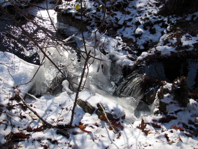 Natural ice sculptures |
 Boundary wall lining road |
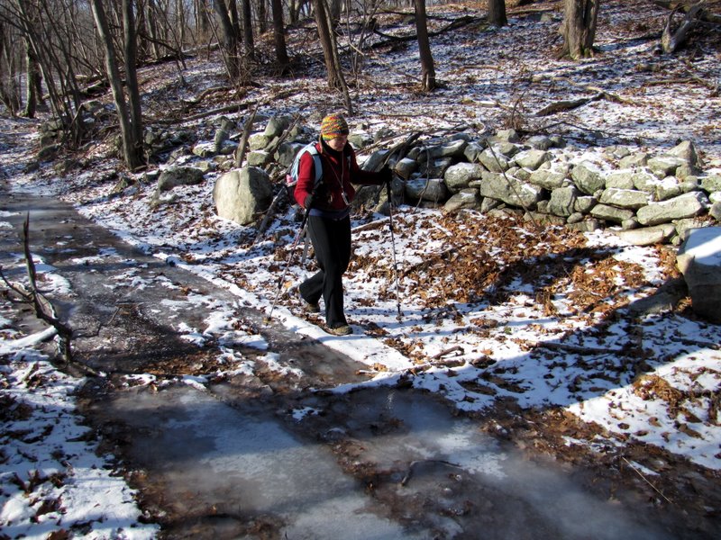 More icy on way ... |
 ... to Second Reservoir |
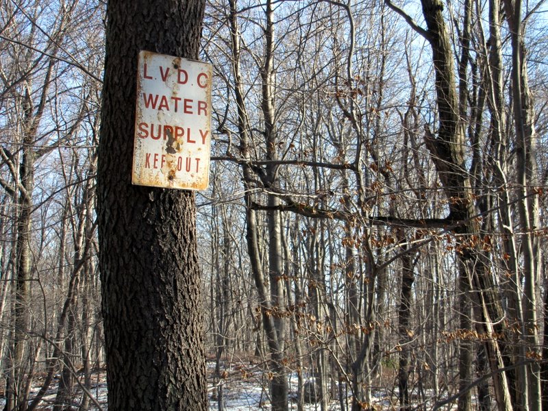 Warning signs |
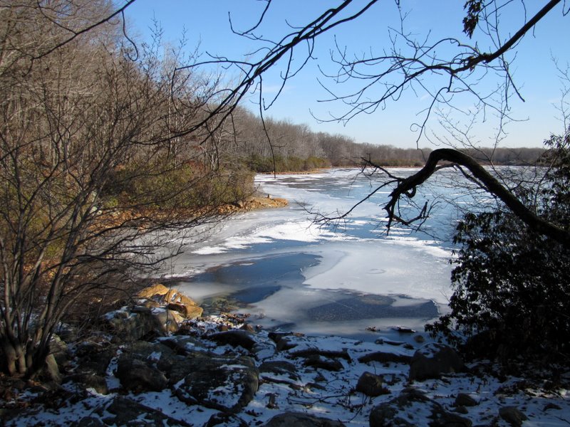
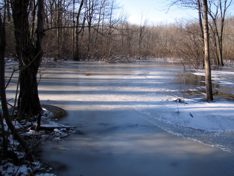
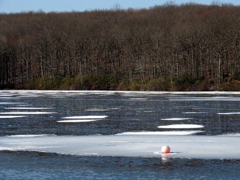
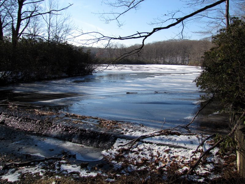
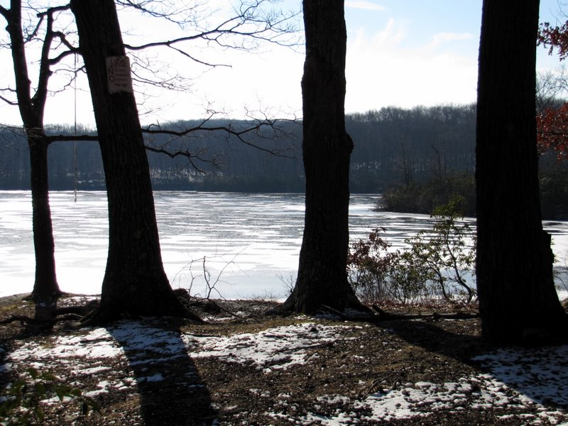
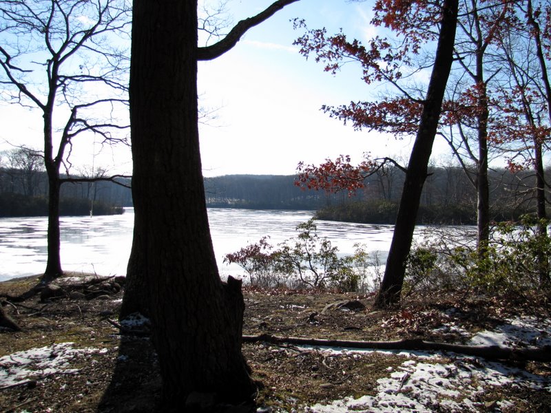
 Second Reservoir looking west |
 Partly frozen |
 |
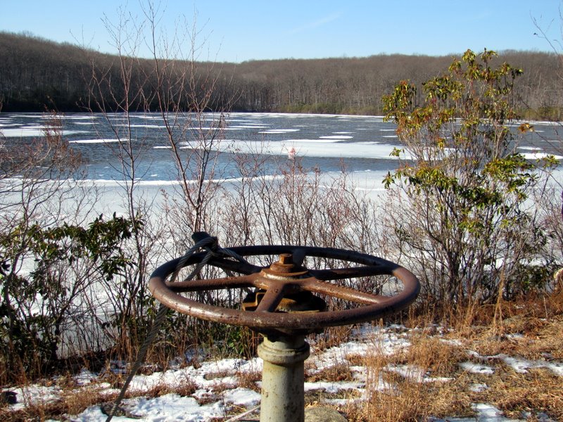 Dam wheel |
 On earthen dam |
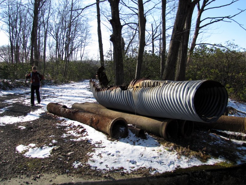 Rusty abandoned pipes |
 NE tip of Second Reservoir |
 Looking south |
 We lunched here in May of '09 |
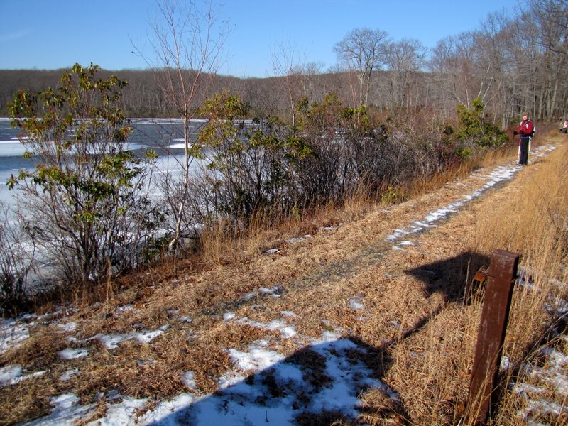
 Uphill on Second Reservoir road |
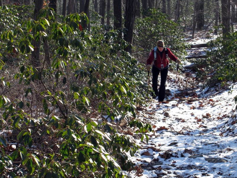 Also lined with laurel |
 Now on LP |
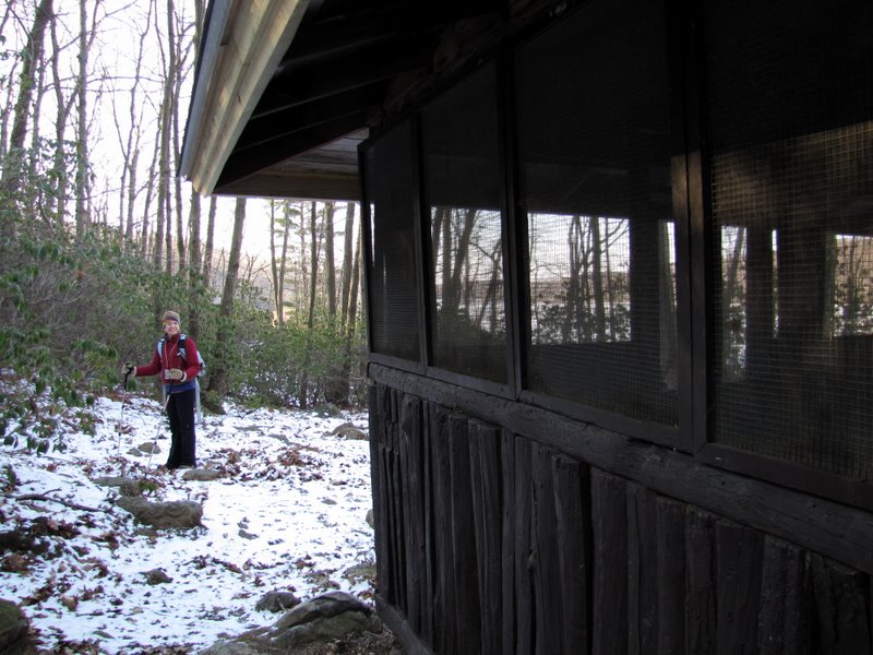
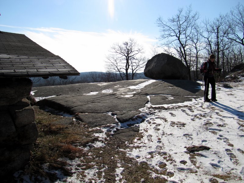
 Big Hill shelter on LP |
 View south |
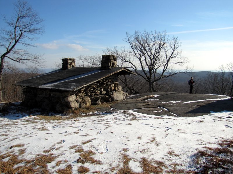 Big Hill shelter |
 |
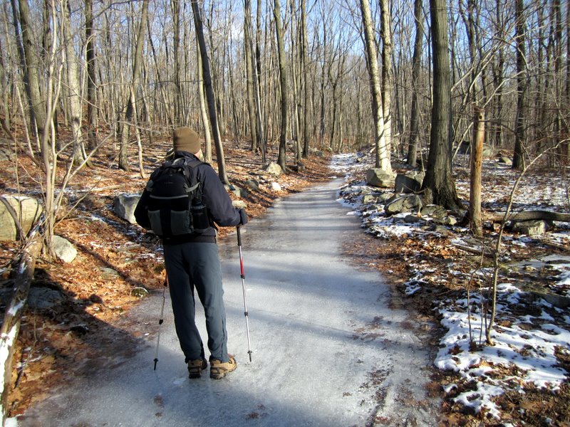
 Snowy LP heading back |
 Boulder field |
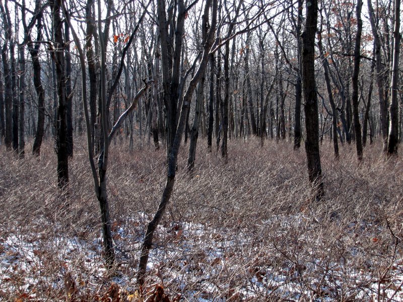
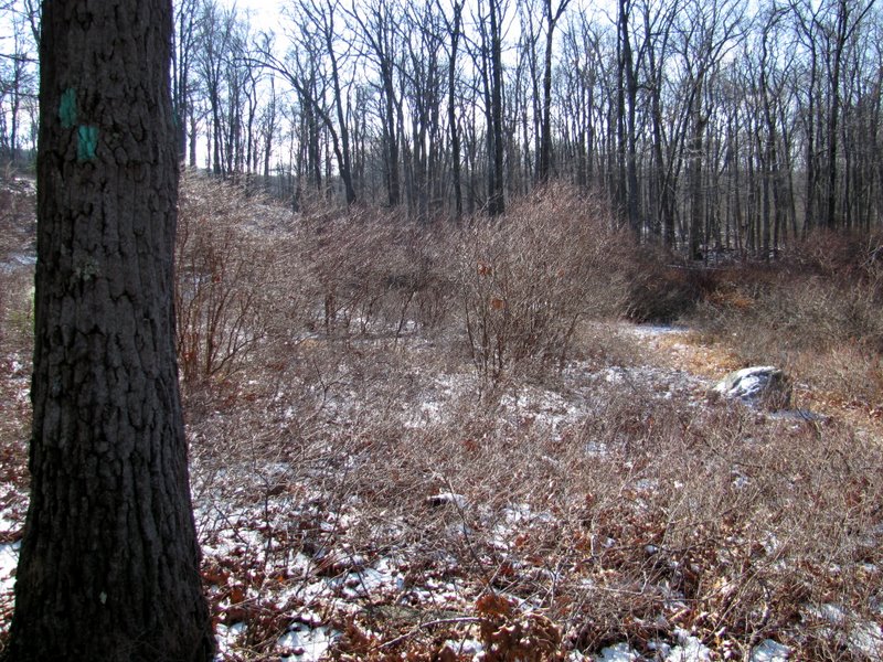 Clearing, site of ... |
 ... Boeing 727 crash |
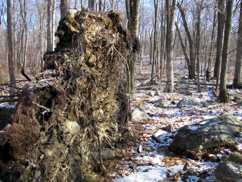 Huge tree roots |
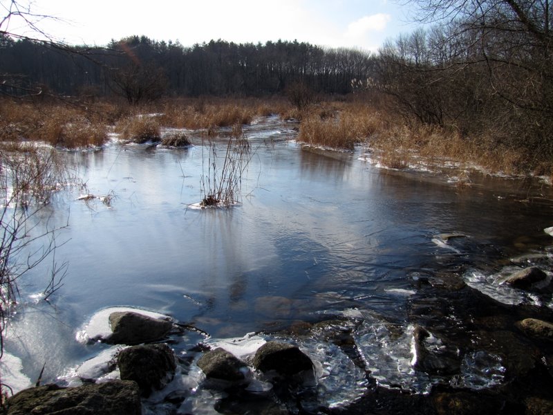 Swamp at Pond Brook |
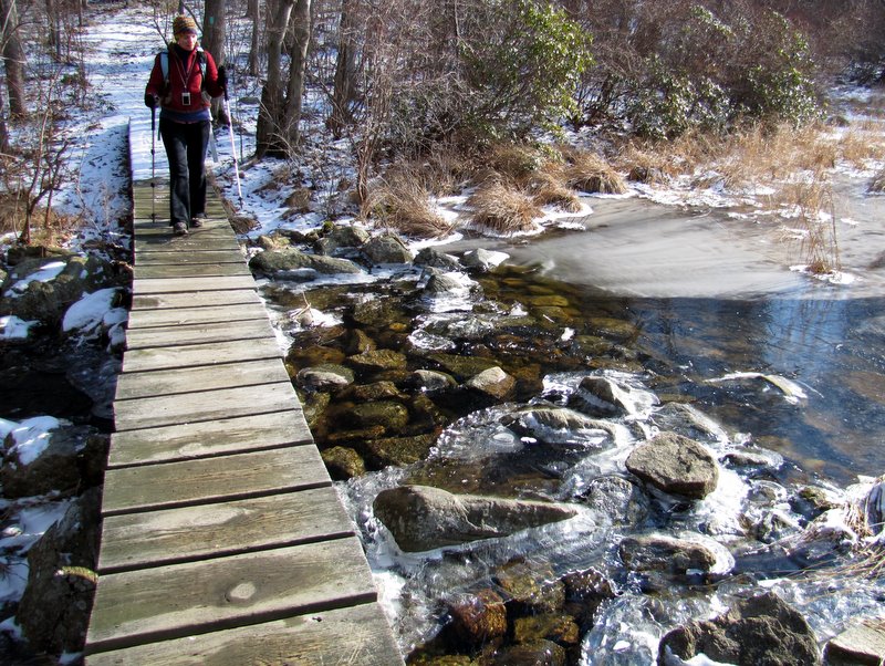 Bridge of Pond Brook |

|
|
Photographs and content copyright © Dan Balogh Web design by Dan Balogh |