 |
|
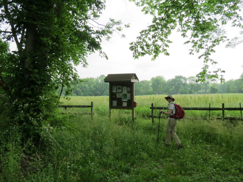
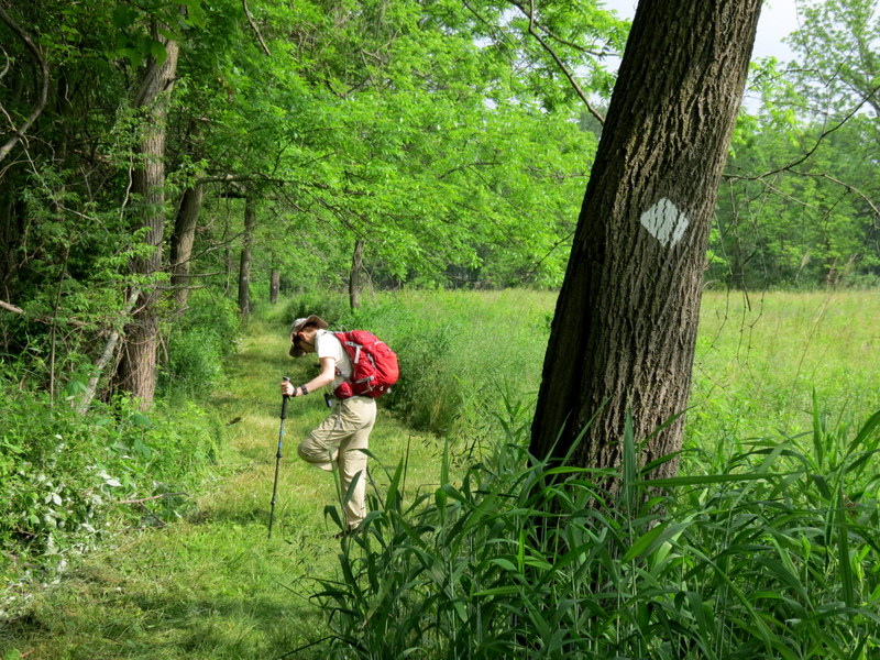
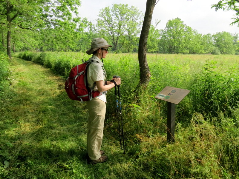
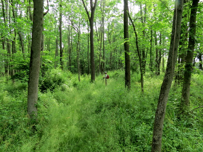
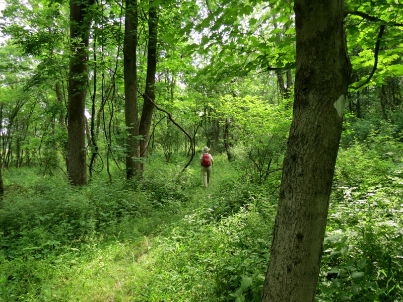
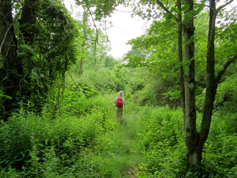
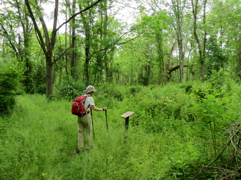
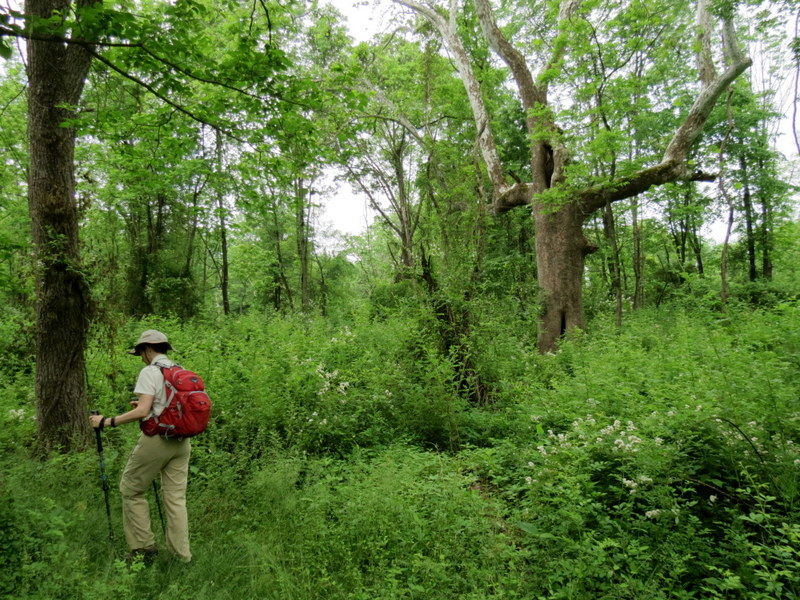
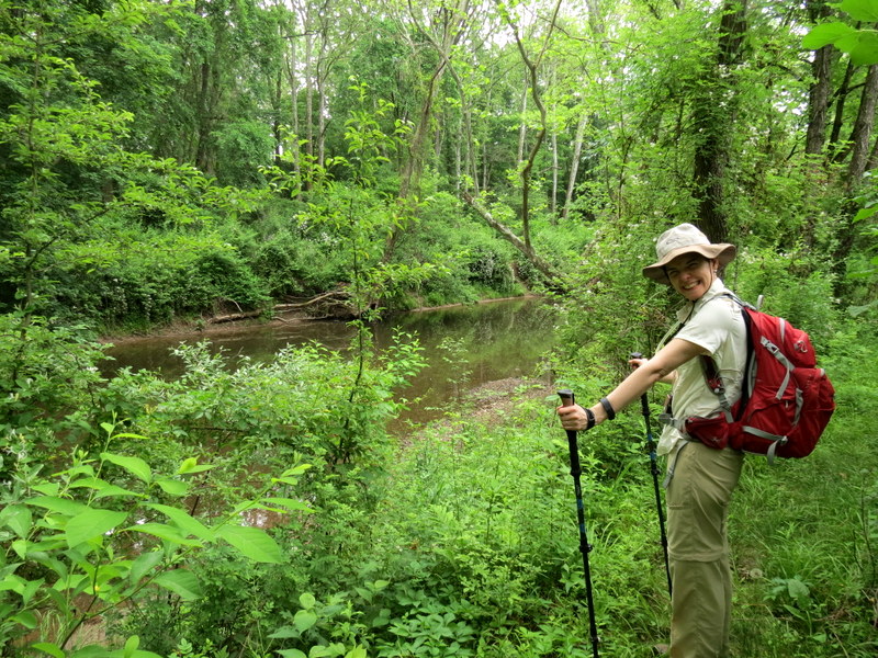
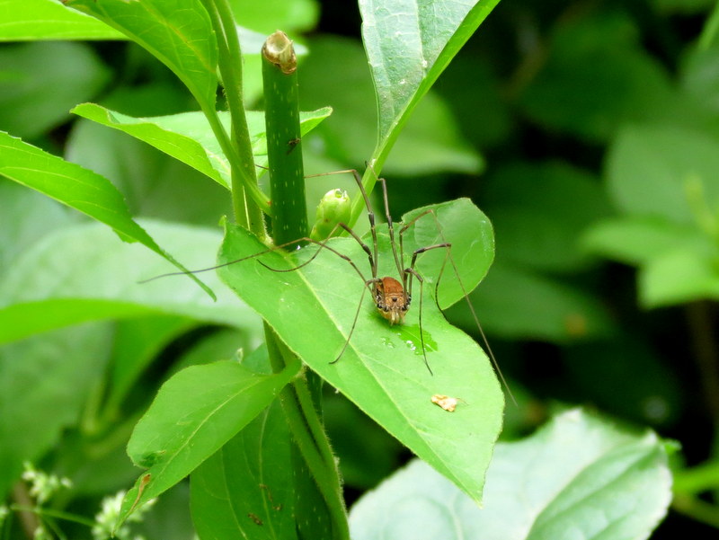
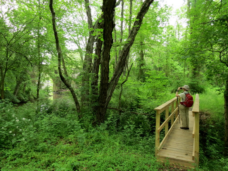
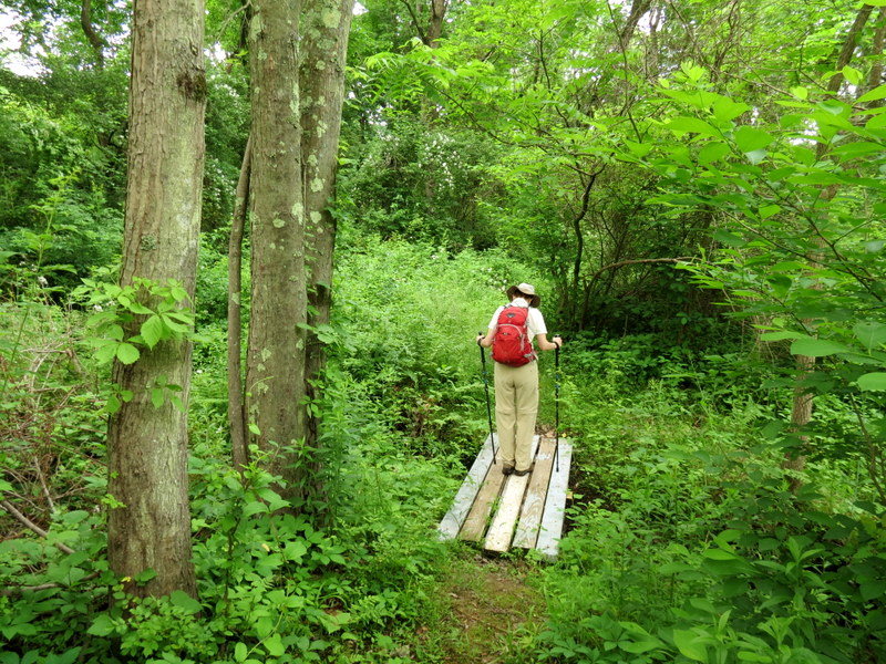
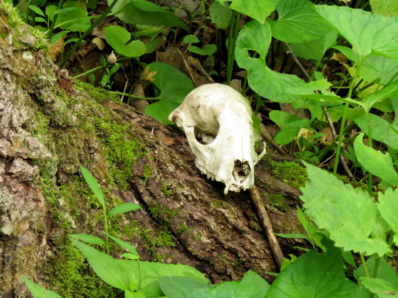
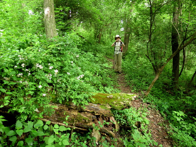
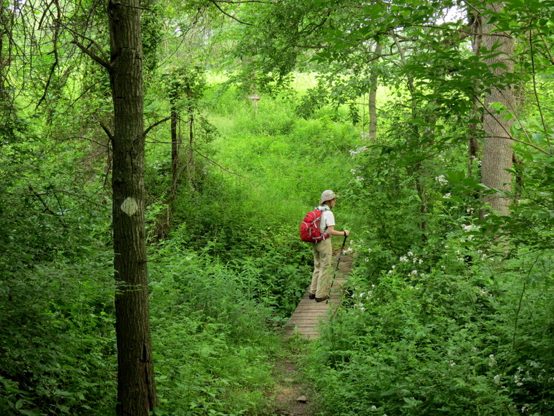
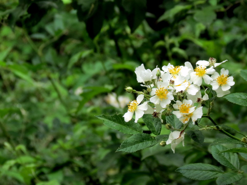
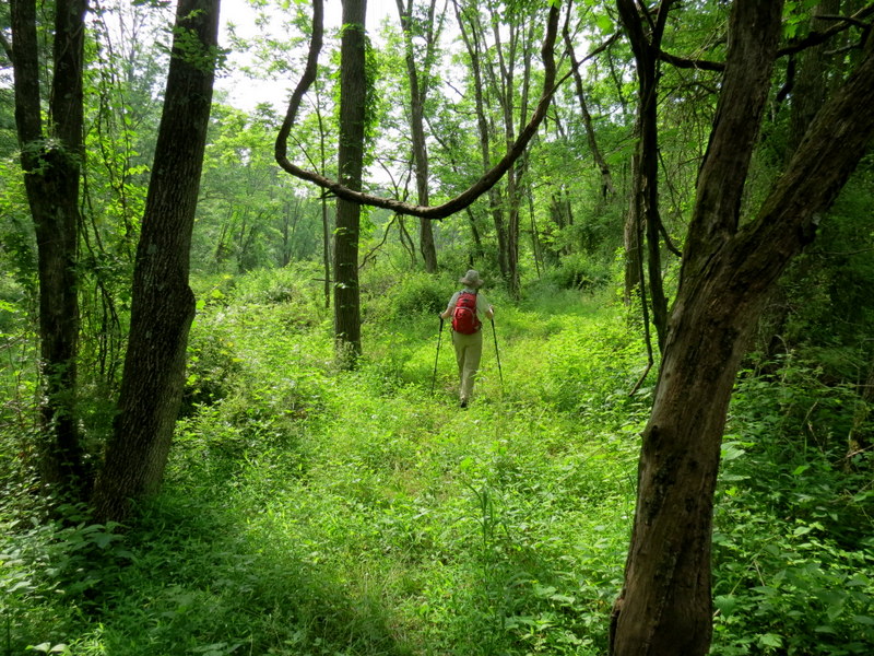
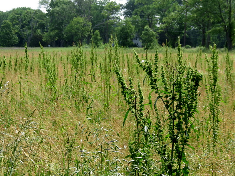
This is the first of two areas we visited today in Central New Jersey.
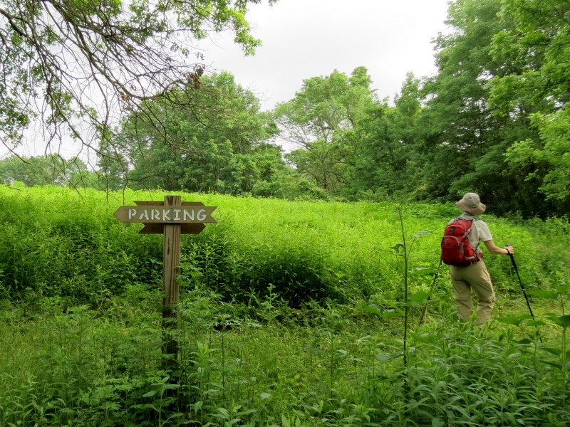
Using this map, we parked in the grassy lot between
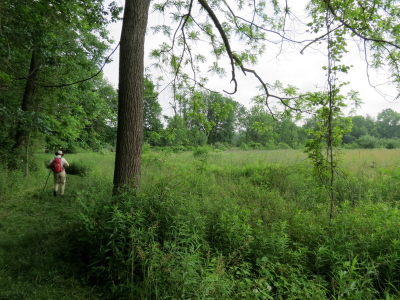
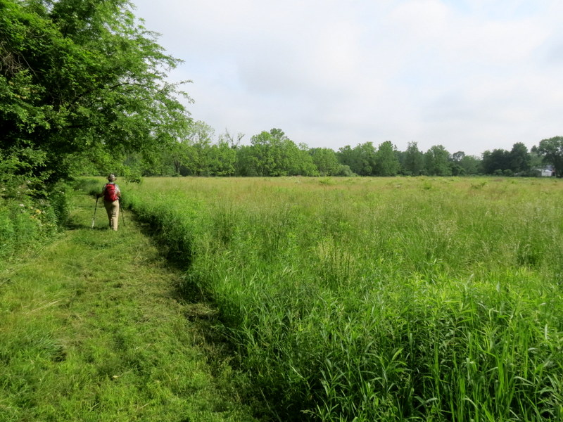
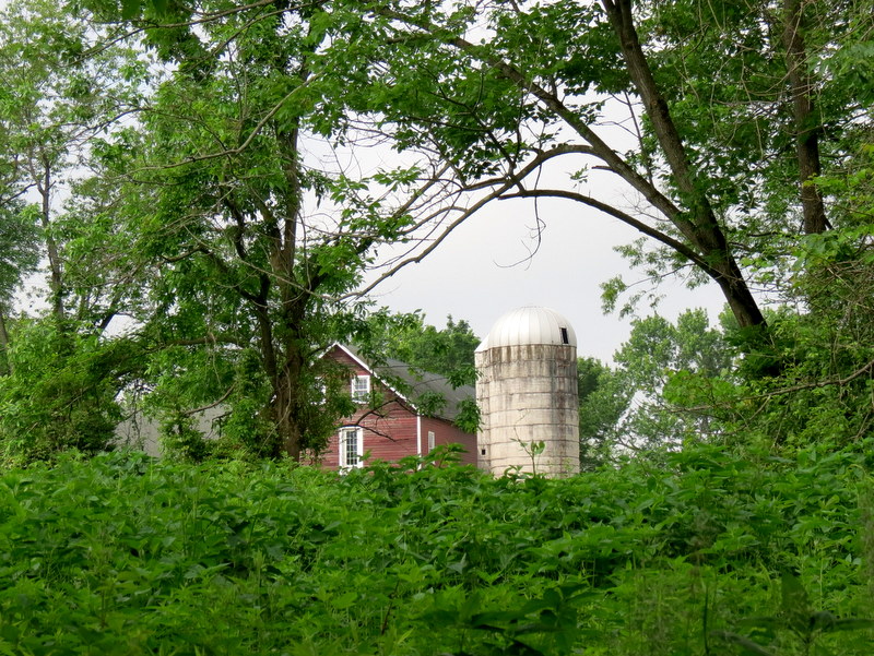
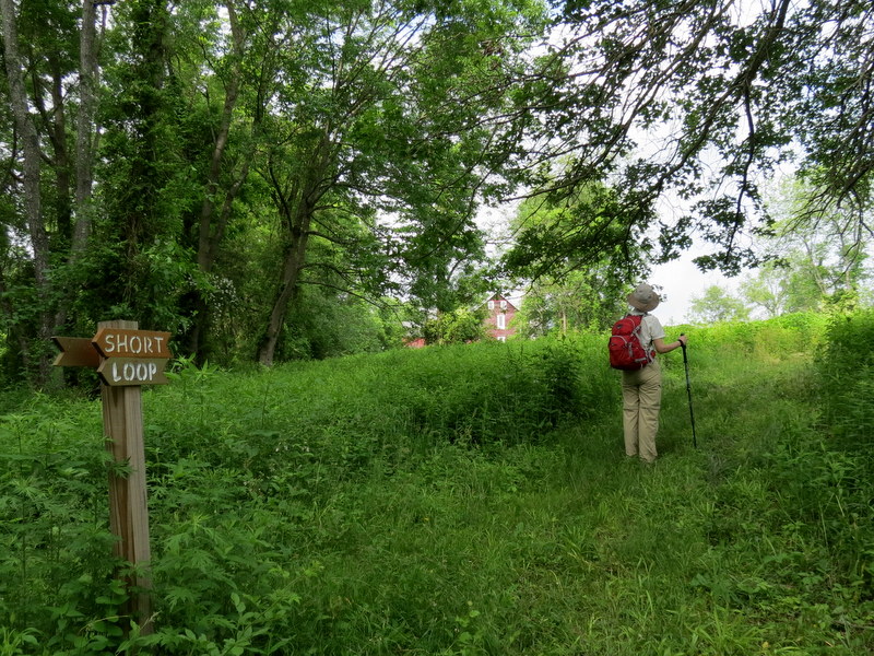
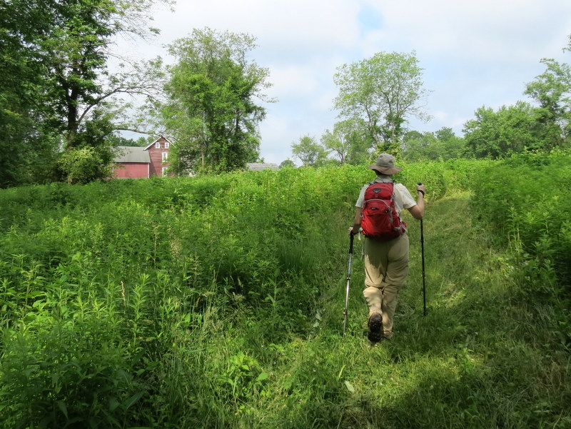
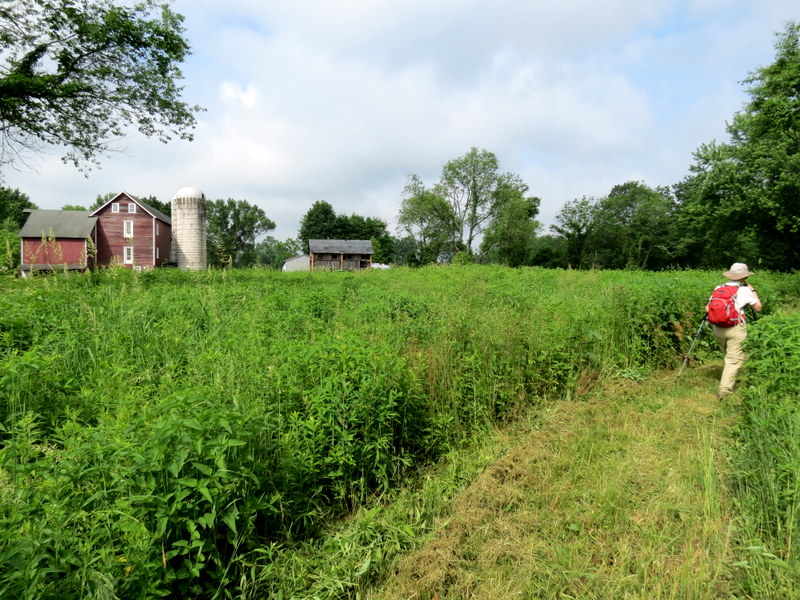
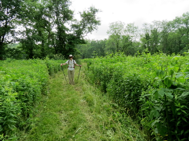
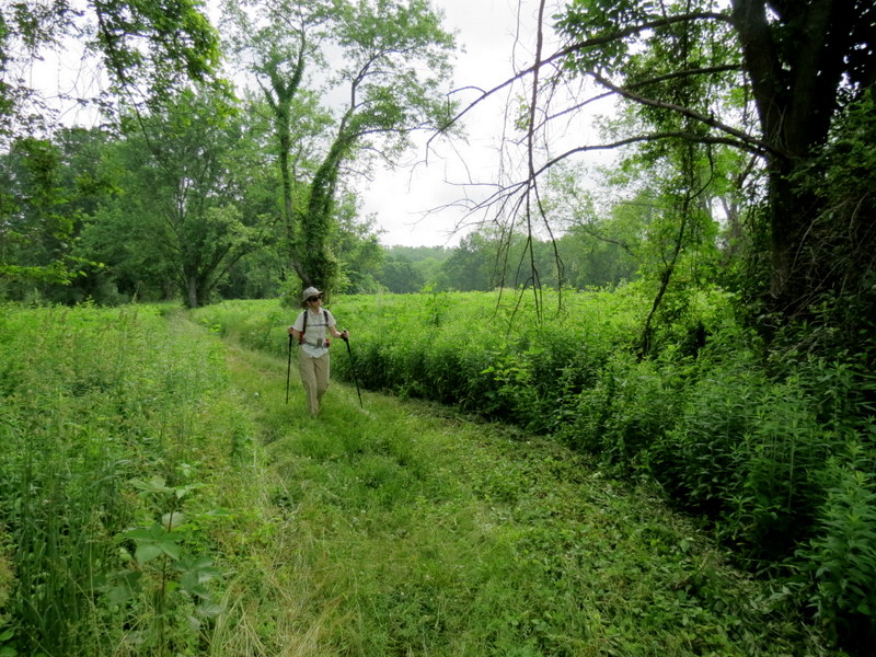
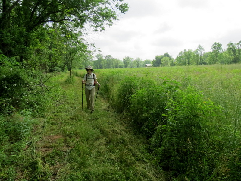
the kiosk and the red-roofed brick building on Pennington-Hopewell Road. We hiked every trail in the preserve, following a clockwise direction. There used to be
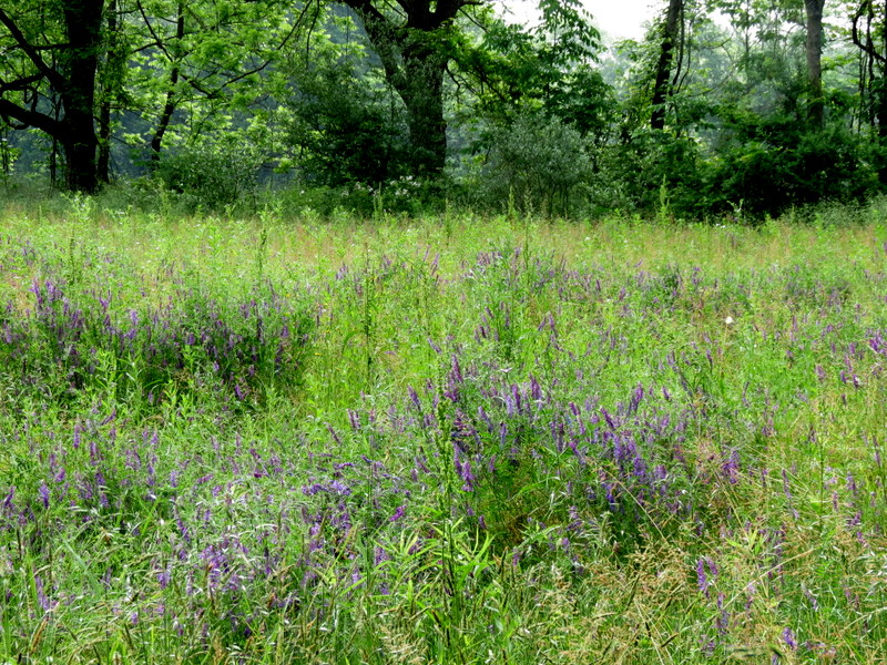
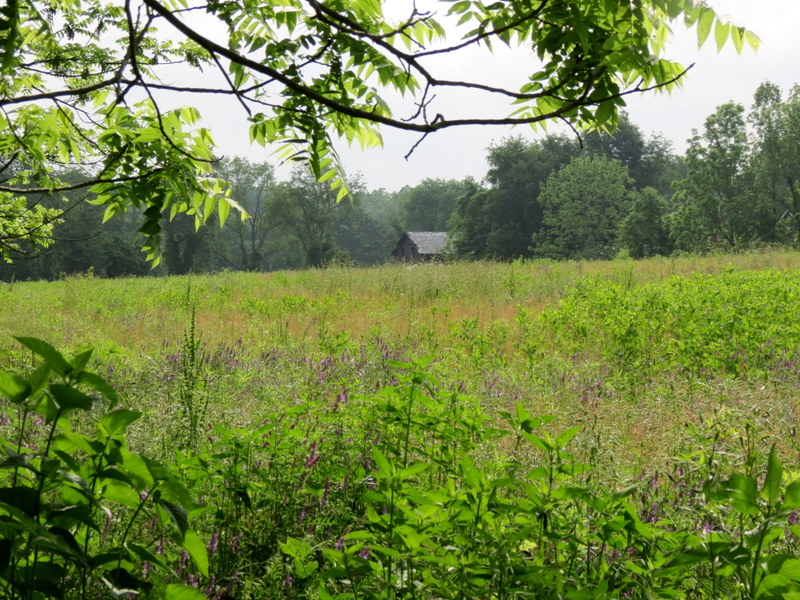
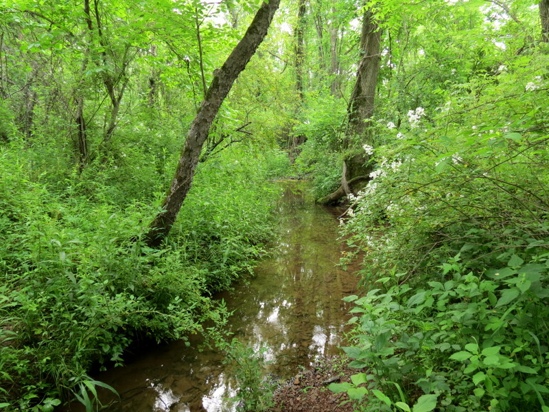
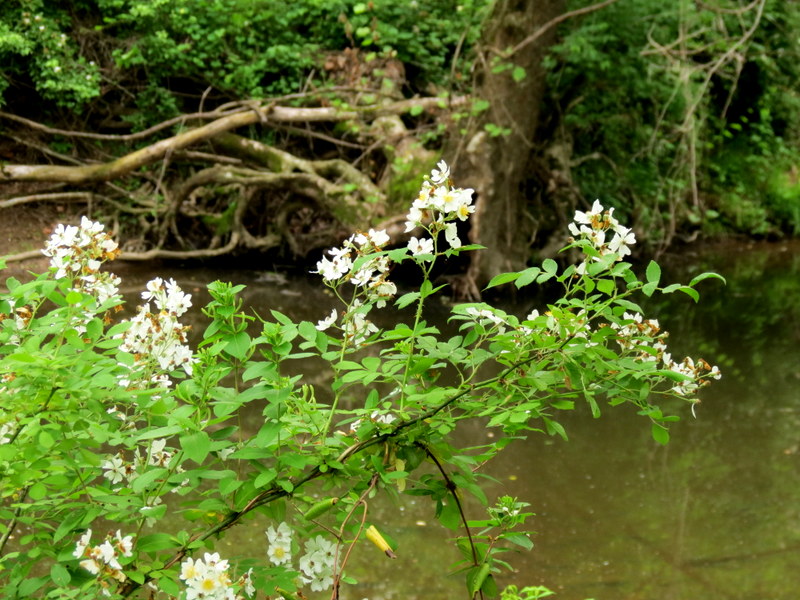
a bridge out where the map indicates "gully" but it's been replaced. There are a couple of nice views of Stony Brook and a nice passage through an organic
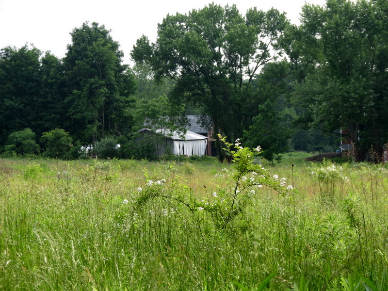
farm field which passes very close to a private farm.
Total distance hiked was 1.7 miles in about an hour.
|
 |
 |
 |
 |
 |
 |
 |
 |
 |
 |
 |
 |
 |
 |
 |
 |
 |
 |
 |
 |
 |
 |
 |
 |
 |
 |
 |
 |
 |
 |
 |
 |
 |
 |
 |
 |
 |
 |
 |
 |

|
|
Photographs and content copyright © Dan Balogh Web design by Dan Balogh |