 |
|
I've been discovering many new trails since the New York-New Jersey Trail Conference released their Jersey Highlands (Central North Region) map set earlier this year.
With map in hand, and just an idea of a possible loop, we headed back to Allamuchy today, to a recent addition to the park situated between the rest of
Allamuchy and Stephen's State Park. According to a sign on the big iron gate on Kinney Road, the park received a grant in 2008 to restore this area to a viable
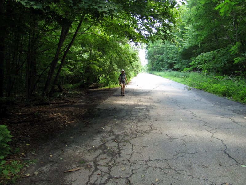
wildlife recreation area in five years. I don't know what it was previously but a wide paved road leads into the area which is now dominated by a large lake.
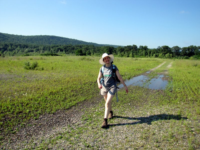
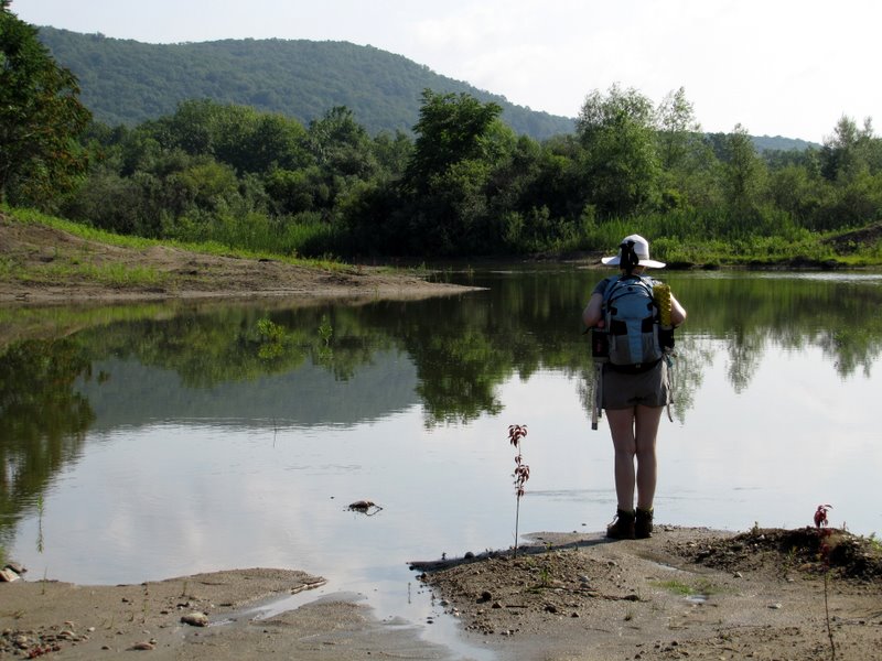
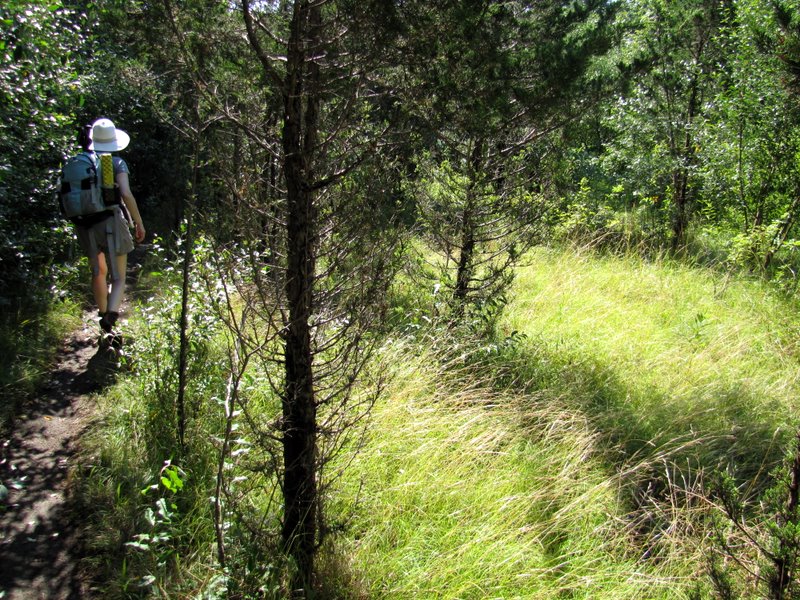
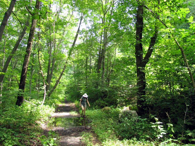
We parked at the iron gate on Kinney Road and headed to the lake. It's a beautiful area, bathed in sun for the first 30 minutes or so. We continued heading north (following an unmarked path) reaching the northern part of the lake, where the path swung to the east to Waterloo Valley Road, a road not well-travelled. We then headed back west on another unmarked path which took us all the way under Interstate Routh 80 and then east along the Musconetcong River to an area directly across the river from Waterloo Village (along the way we visited an abandoned house). We intended on crossing the footbridge to Waterloo Village but it was demolished, so we had to replan. We decided to do a 2-mile loop using unmarked trails on the map. We headed east up the old Morris Canal inclined Plane 4, walking on the original sleeper stones that formed the base of the plane upon which huge vessels were pulled up from the Musconetcong River. We continued east until the canal trail became overgrown, at which point we headed north and then west along a blue-blazed bike trail (most likely blazed by JORBA) eventually arriving back at the bottom of Plane 4. At this point we backtracked to Waterloo Valley Road (still bereft of traffic). We crossed the road and headed west along what appeared to be an old rail trail (now a bike trail) which runs parallel to an operational railroad higher above and Waterloo Valley Road below. Eventually we came back to Waterloo Valley Road, proceeded SW until we got back to Kinney Road, which we took north back to the car, passing a large field on the left where folks were flying radio-controlled model airplanes. Total distance hiked today was 6.7 miles in just over 3.5 hours.
|
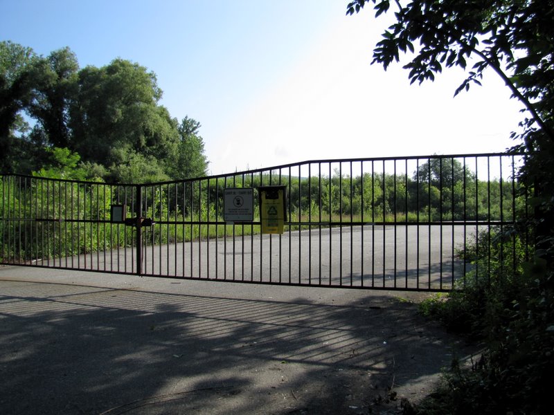 Iron gate on Kinney Road |
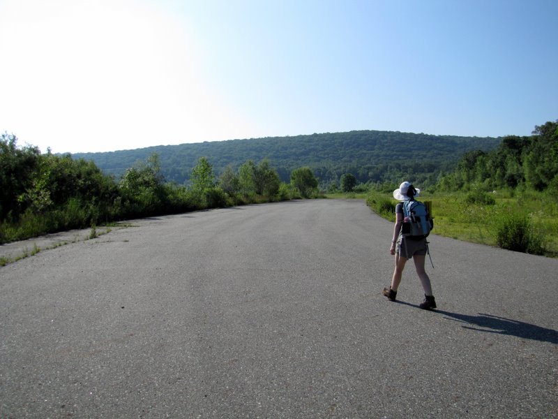 Wide paved road to lake |
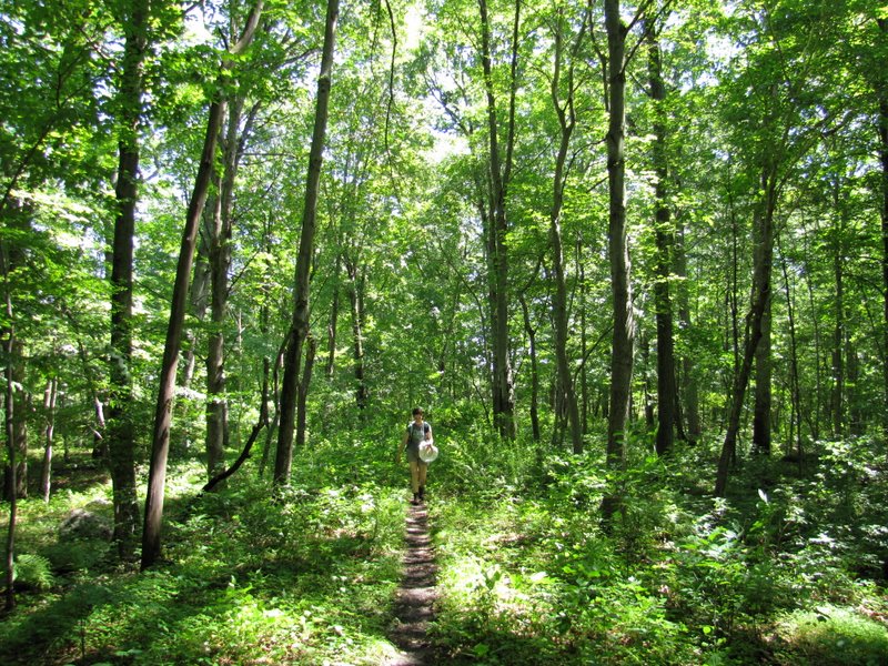
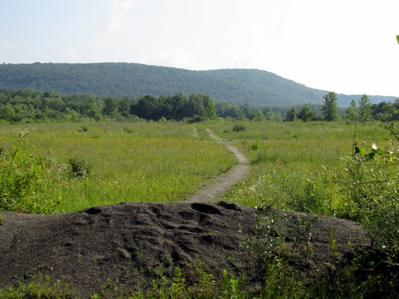 Trail north |
 |
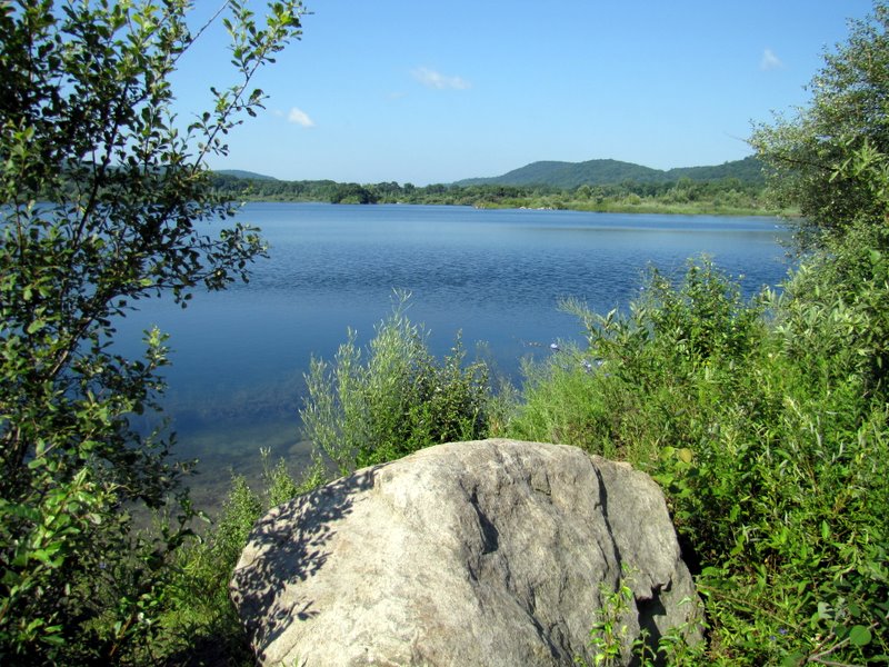
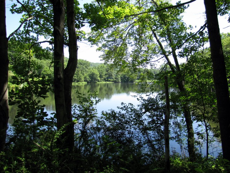
 Approaching Tilcon Lake |
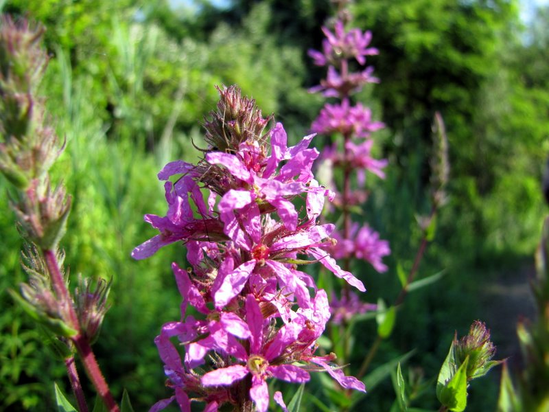
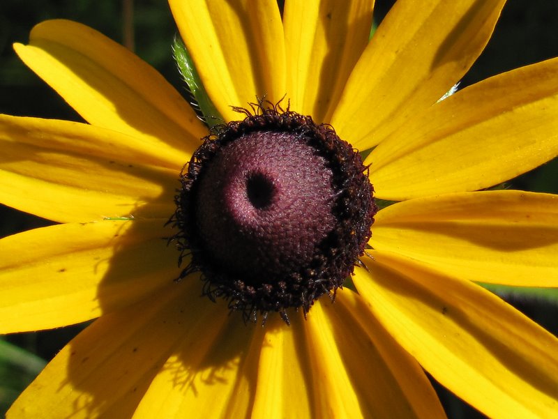
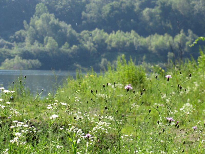 Wildflowers abound |
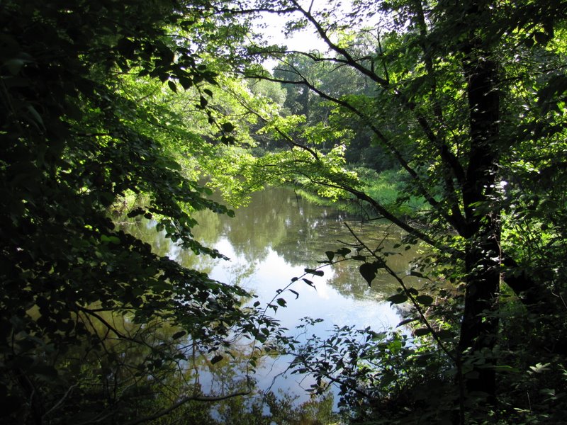
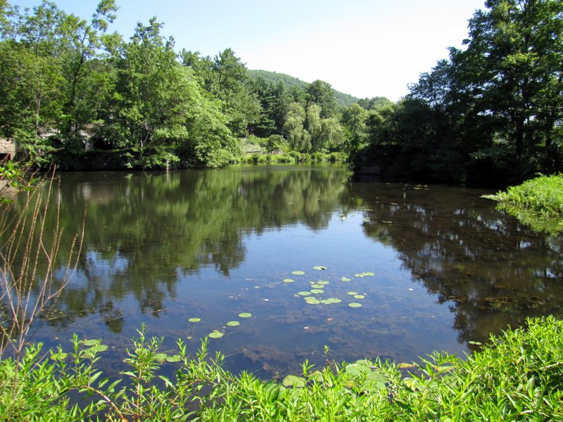
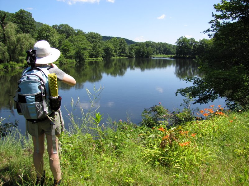
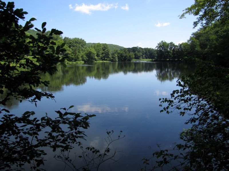
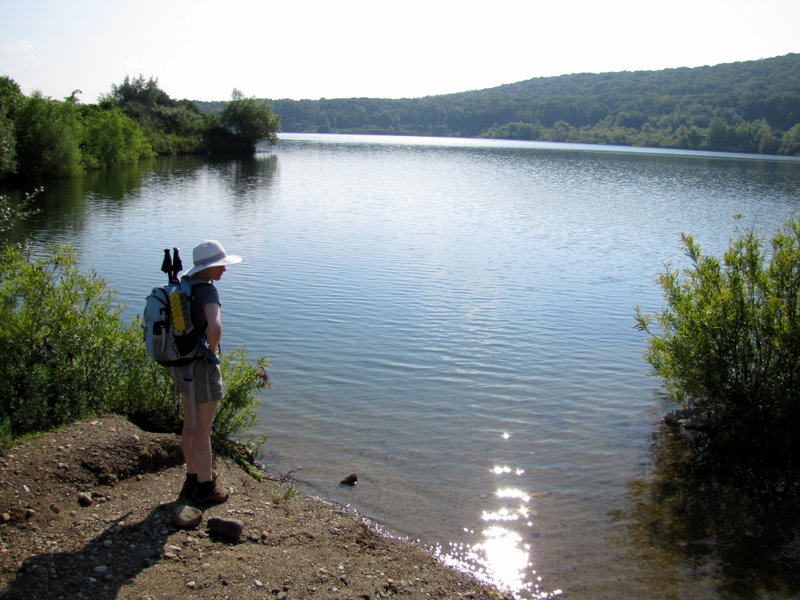 Tilcon Lake |
 |
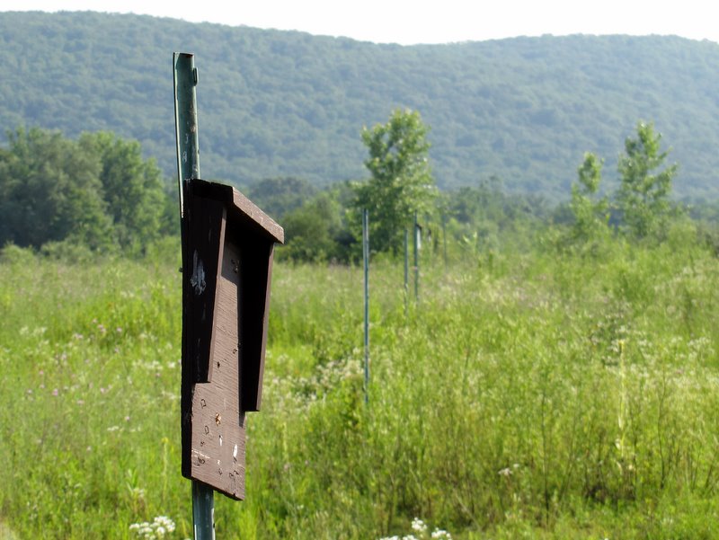 Long row of sign-less sign posts |
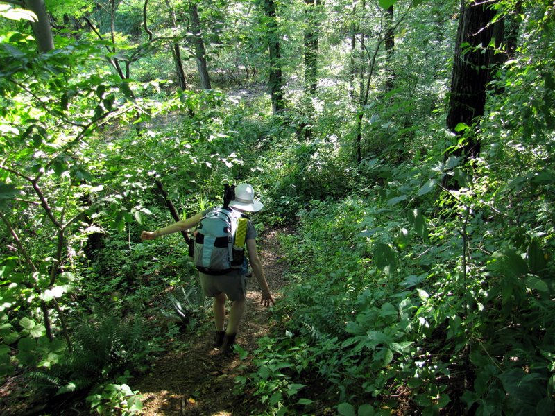
 Continuing north |
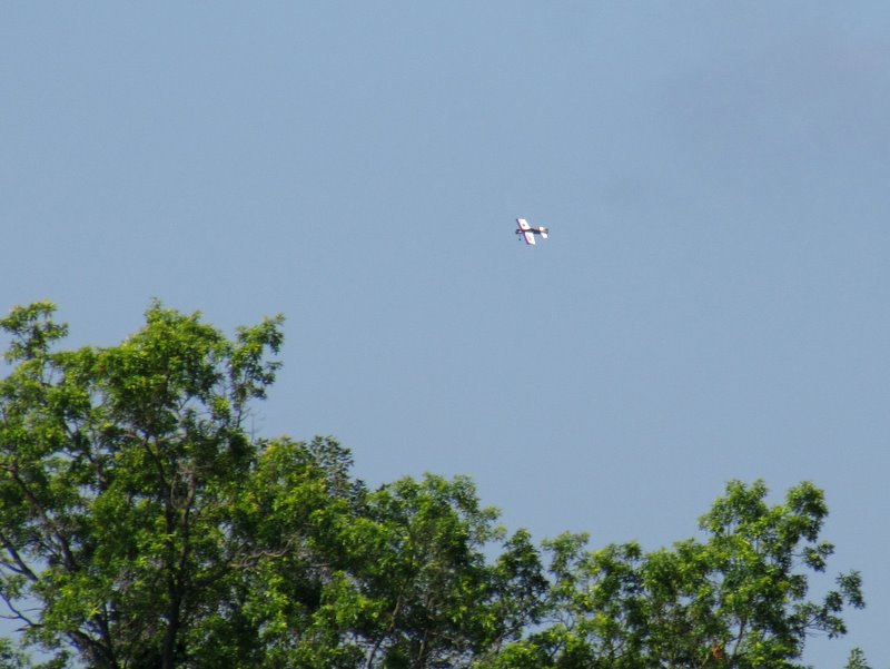 Radio-controlled plane across Kinney Road |
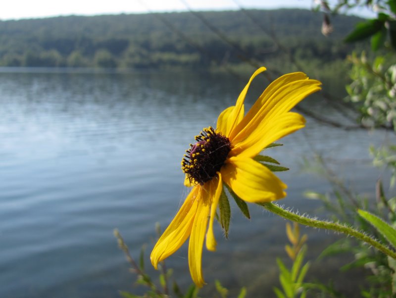
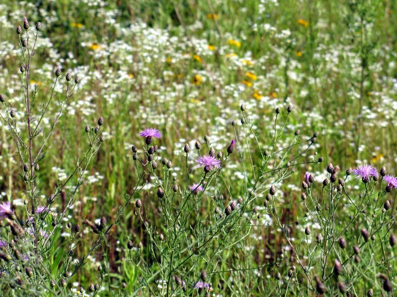 Field of color |
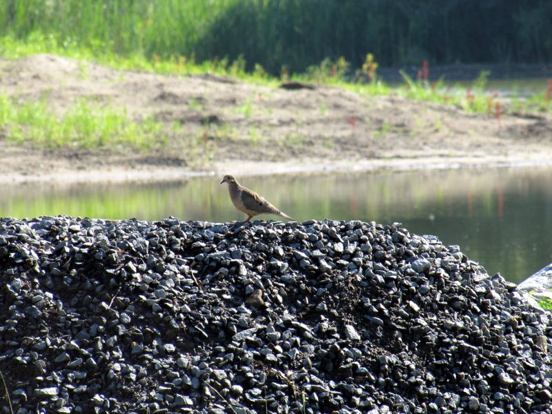 Morning dove |
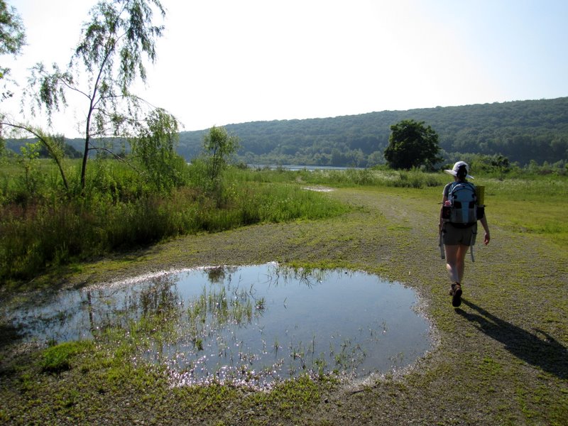
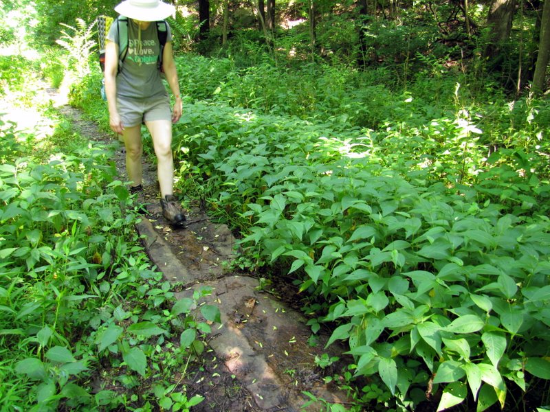
 Flooded path |
 Hay? |
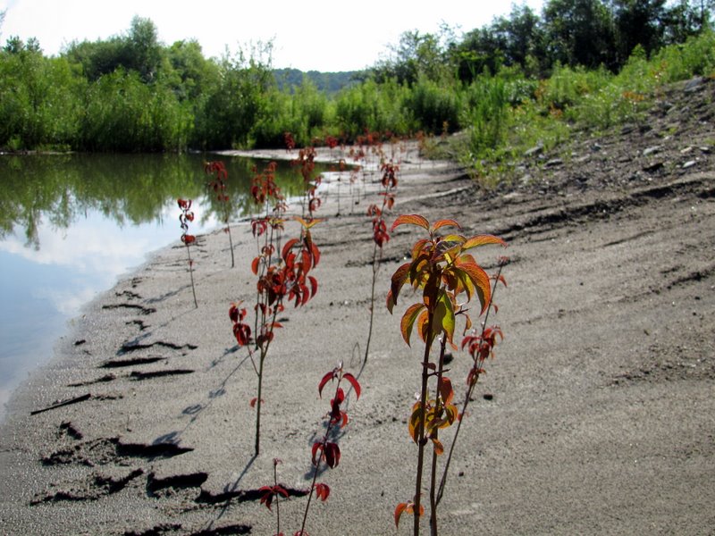 Wildflowers along puddle |
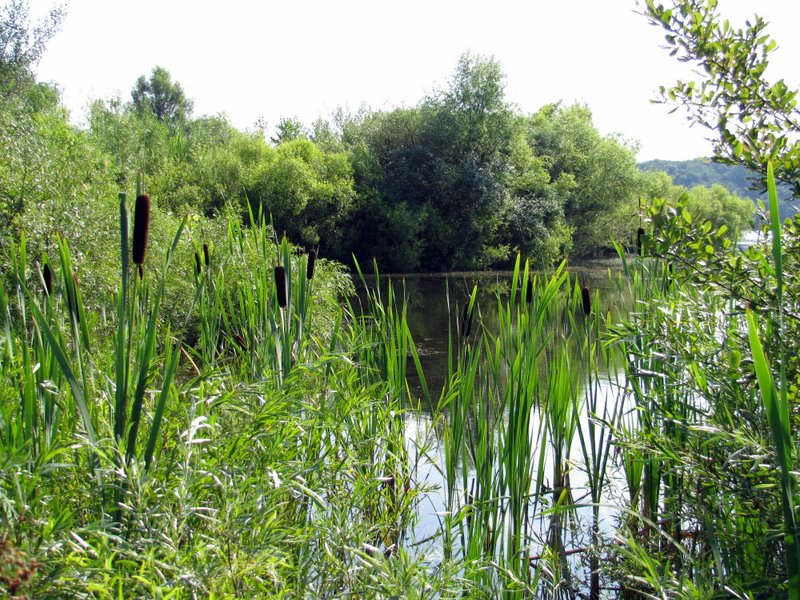 Cat tails |
 |
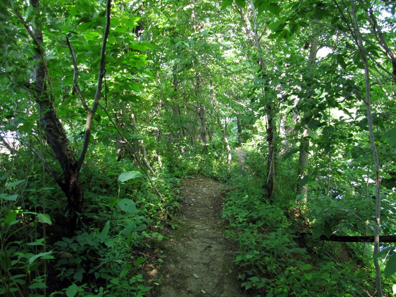
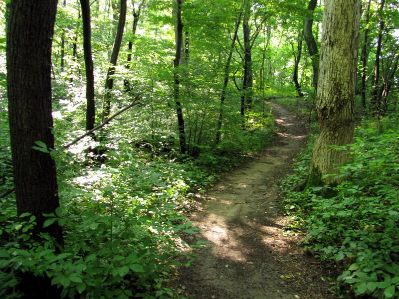
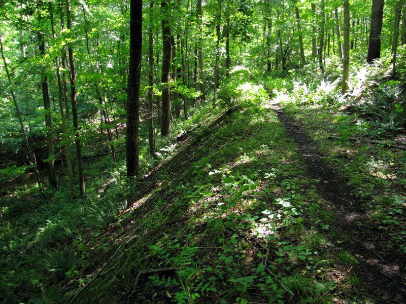
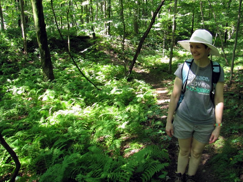
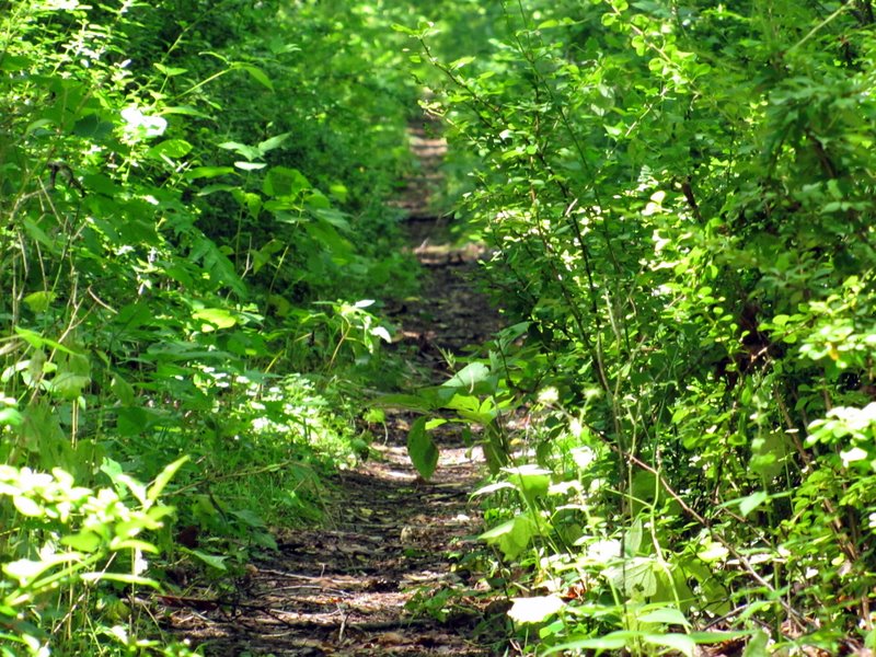
 Path narrows |
 iPhone tells me where we are |
 Vegetation in Tilcon Lake |
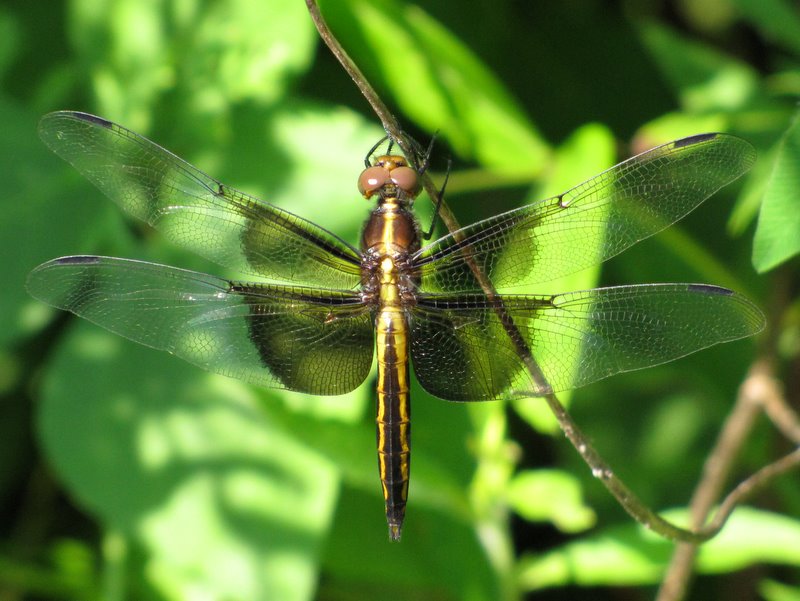 Gorgeous dragonfly |
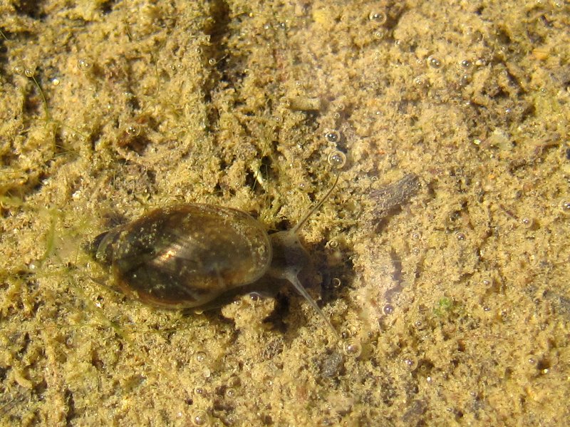 Tiny snail |
 Lake is on both sides here |
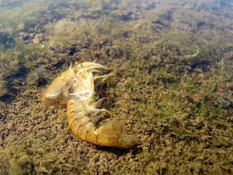 Dead shrimp |
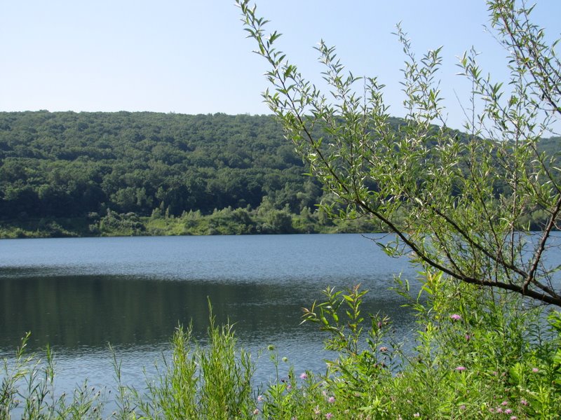 Tilcon Lake |
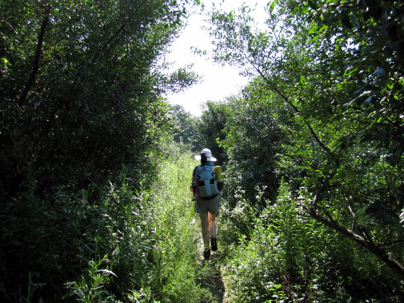 More overgrown here |
 View of Tilcon Lake looking south |
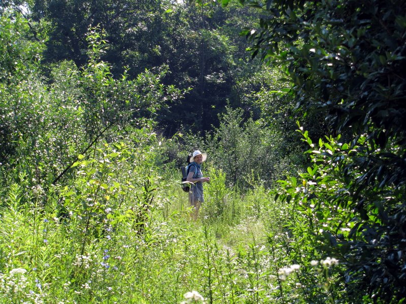 Lots of green |
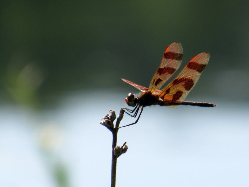 Another awesome dragonfly |
 Tilcon Lake from north |
 First view of Musconetcong River |
 Shaded path between river and lake |
 Tilcon Lake from northern tip |
 Lots of shade here |
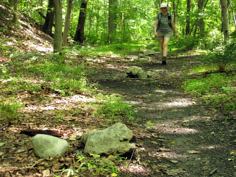
 Path heading east |
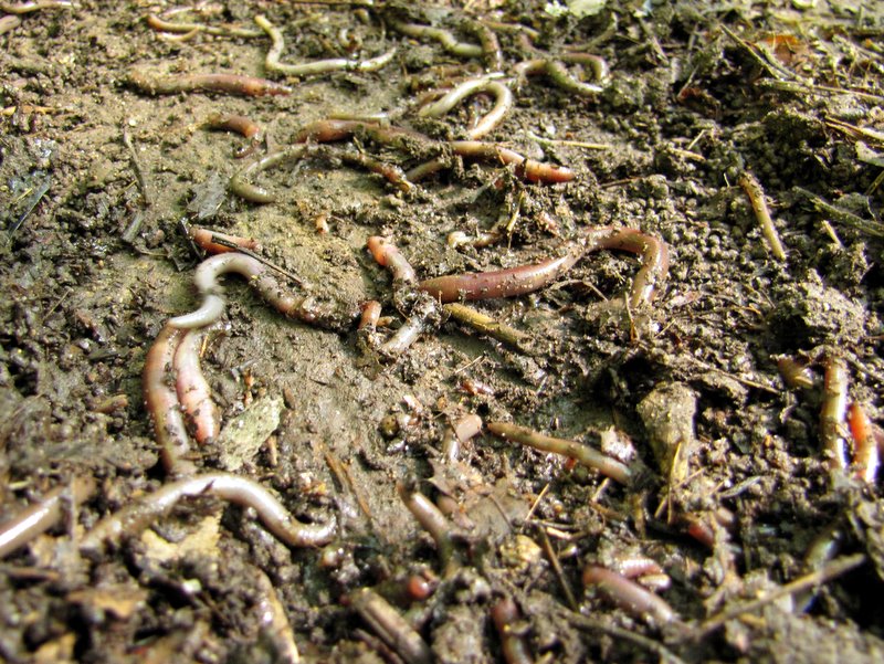 Earthworms |
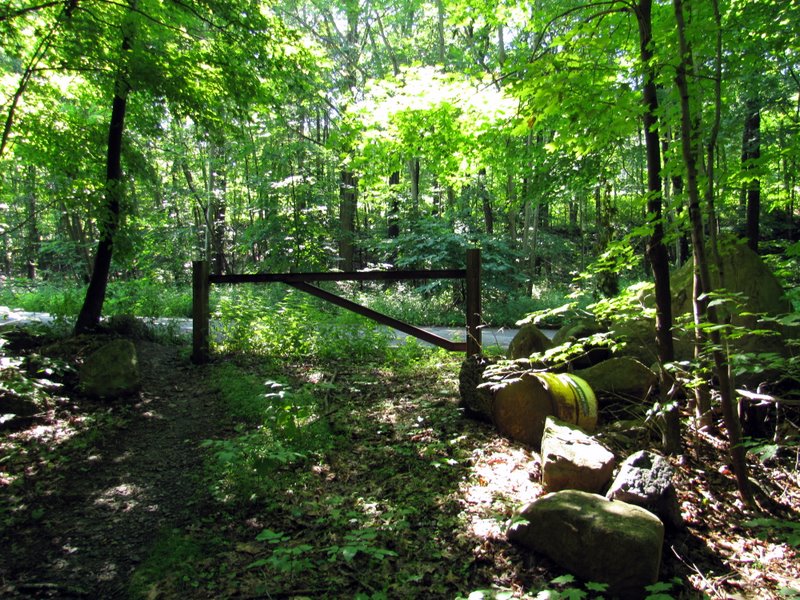 Gate at Waterloo Valley Road |
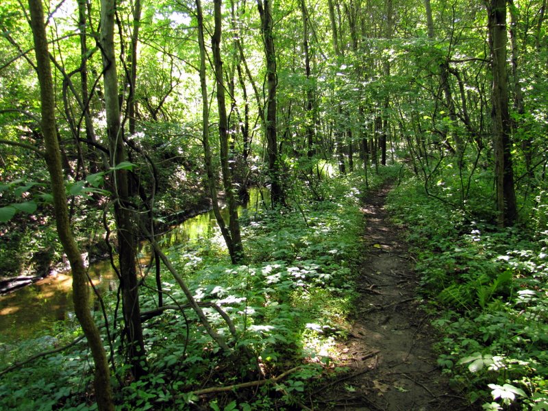
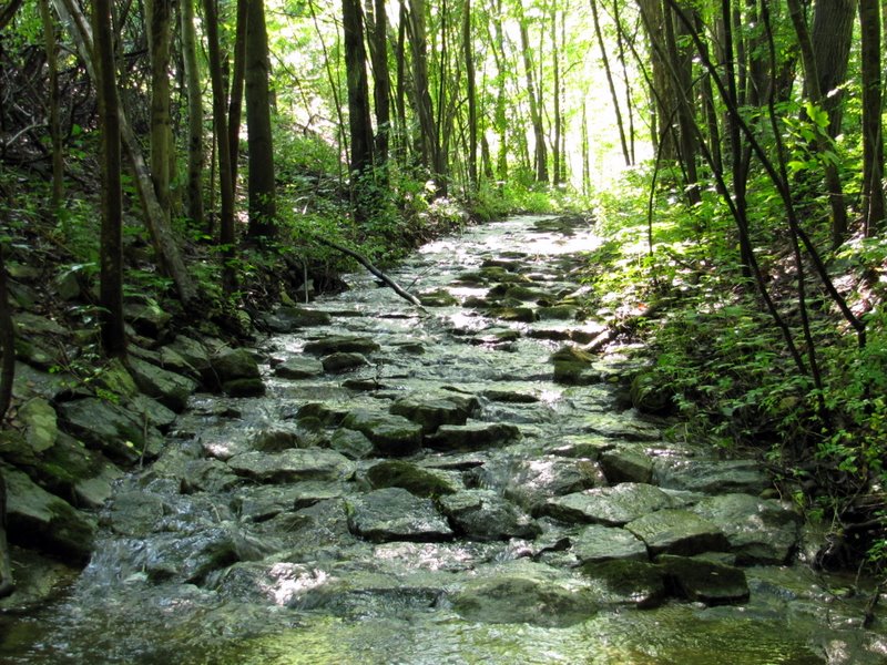 Stream along another path |
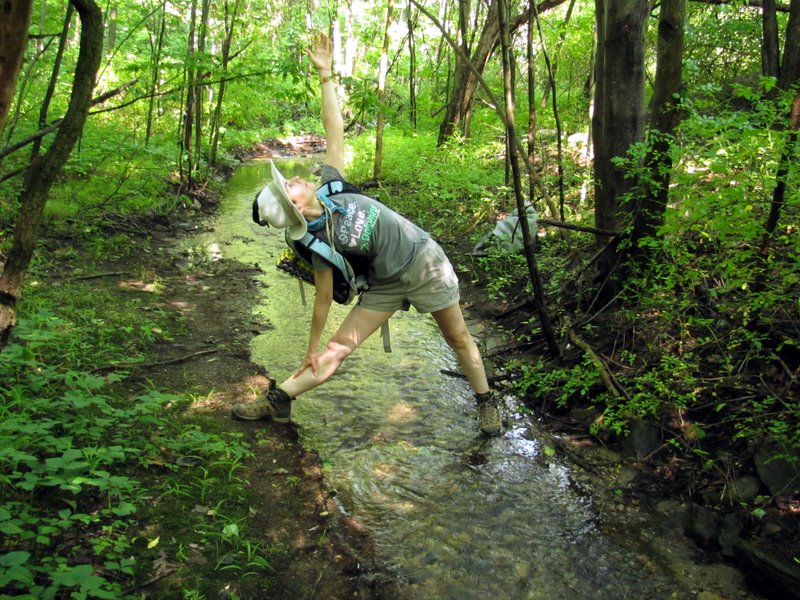 Triangle pose |
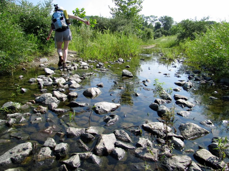
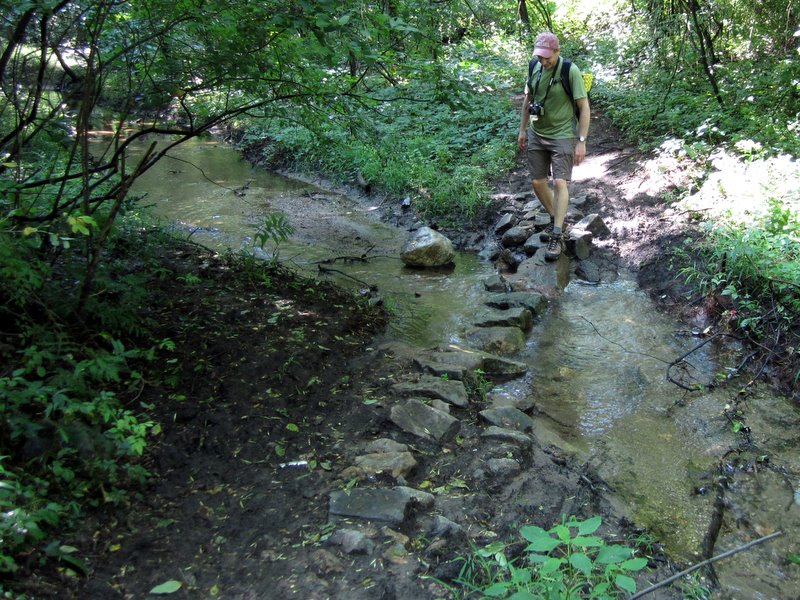 Stone hopping over stream [photo by Laura] |
 Trail along the river |
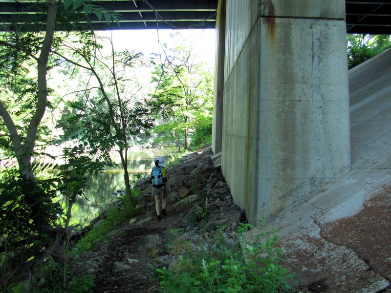 Under Interstate 80 |
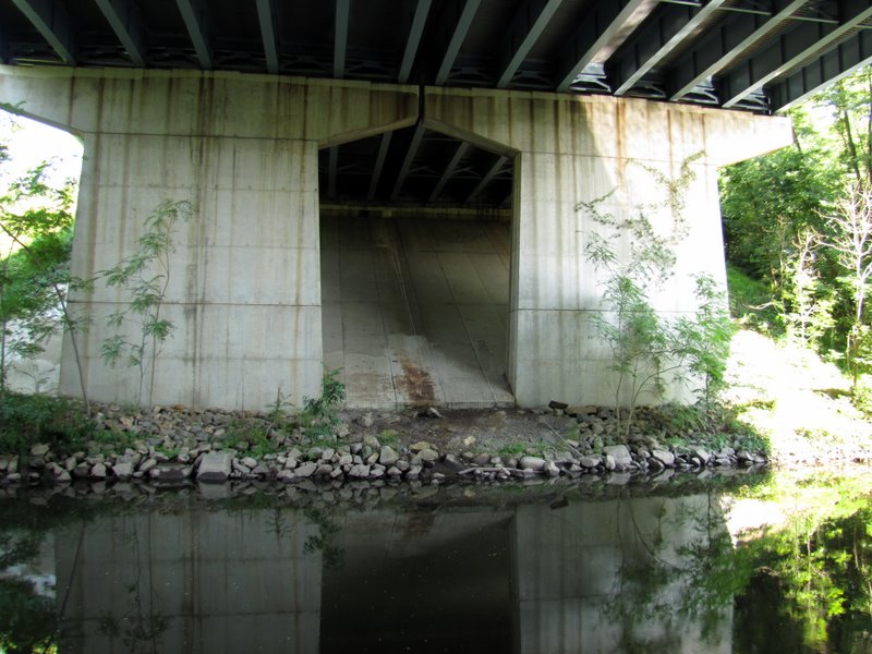 Bridge support across river |
 Musconetcong River |
 |
 Narrow path along river |
 Musconetcong River |
 River vegetation |
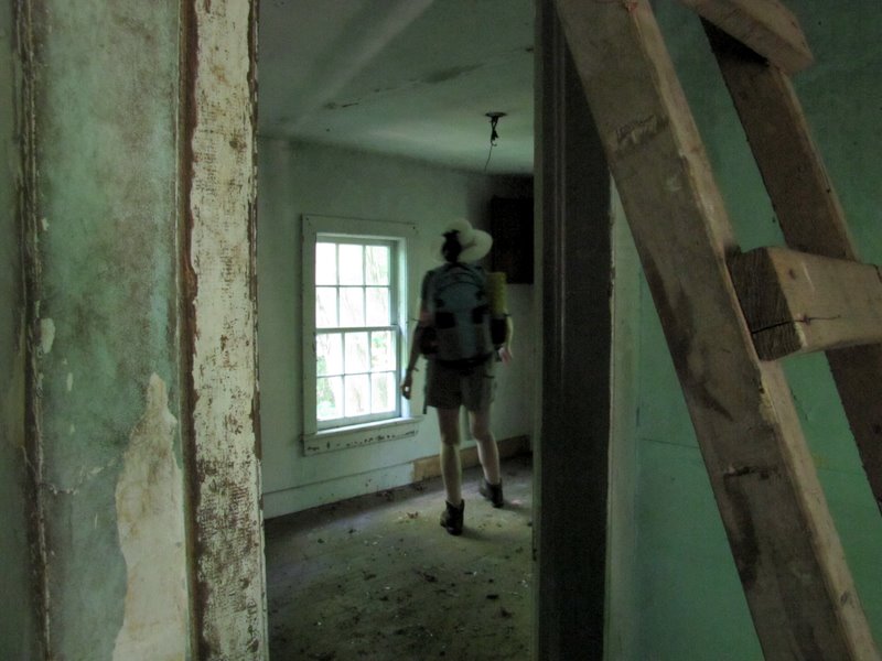
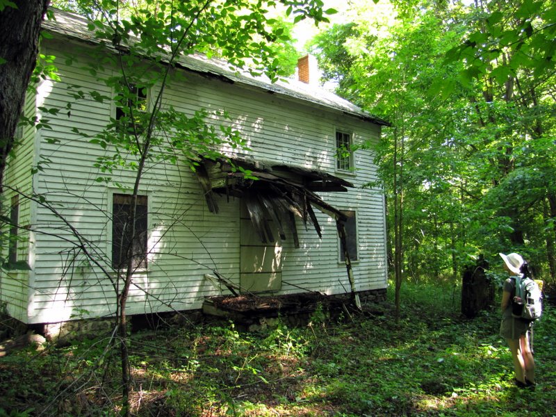 Abandoned house |
 Cellar entrance |
 Stove in kitchen |
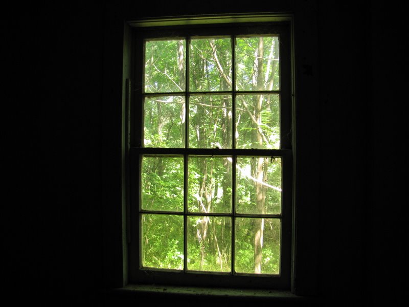 View through window |
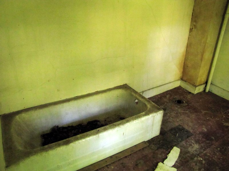 Bathtub |
 Ladder to attic |
 On stairs |
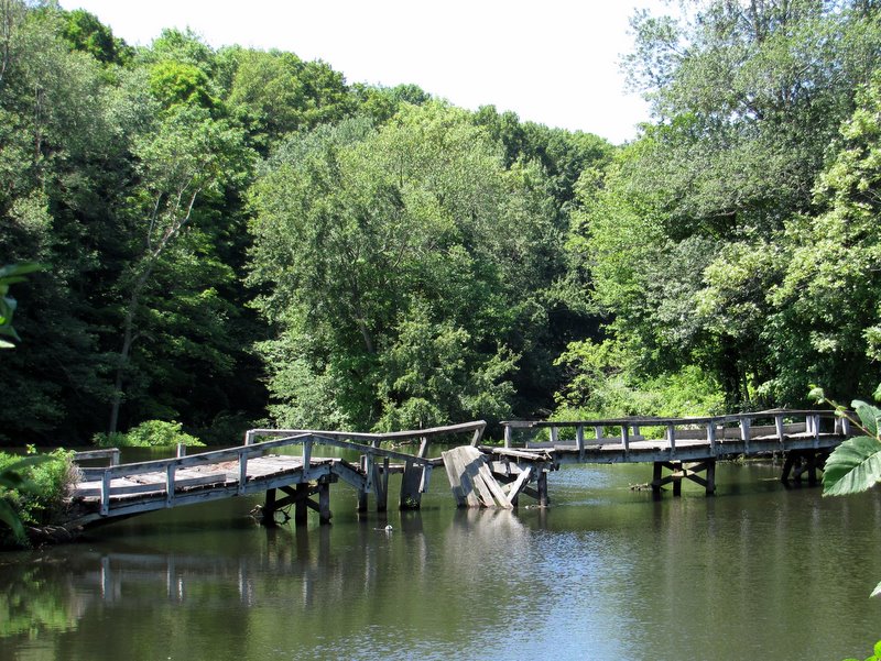
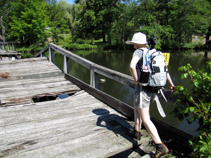 Demolished bridge ... |
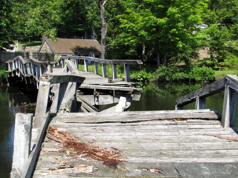 ... to Waterloo Village |
 View of river looking east |
 Path heading east |
 Heading up canal plane 4 |
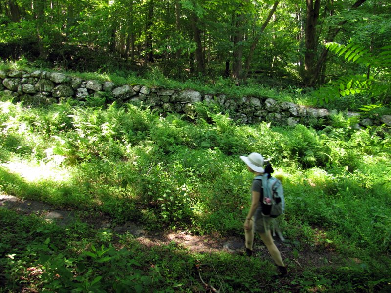
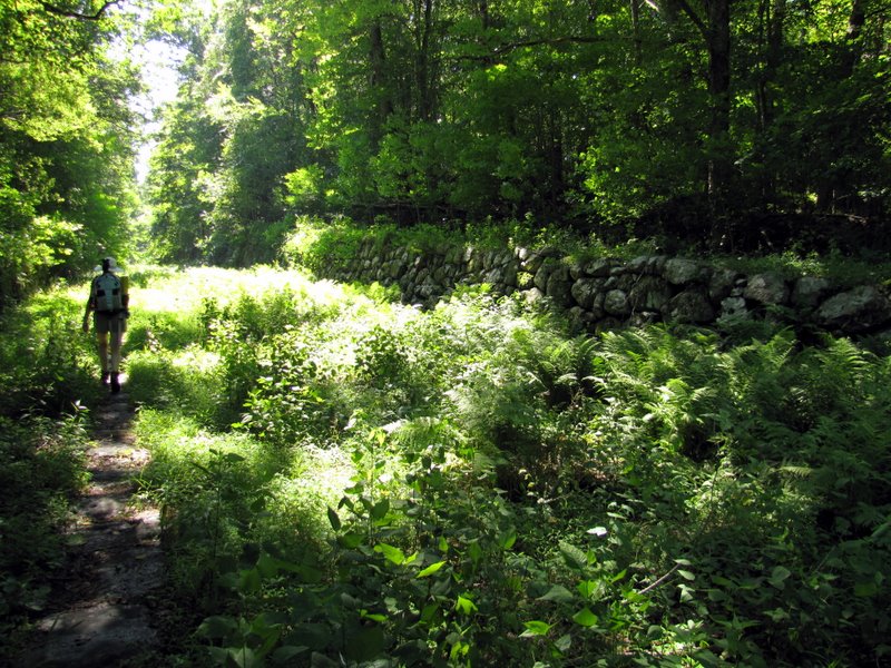 Huge stone walls ... |
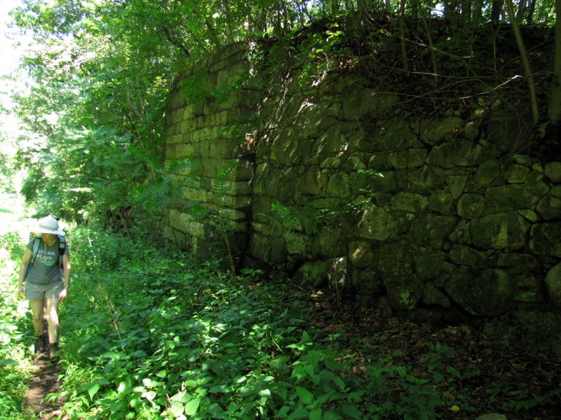 ... on either side |
 Original sleeper stones |
 Ferns where canal used to be |
 On blue-blazed bike loop |
 |
 Narrow path heading west |
 JORBA obstacle course |
 Musconetcong River |
 View of demolished bridge |
 Laura looking east |
 |
 Dan and the river [photo by Laura] |
 Back to desolate Waterloo Valley road |
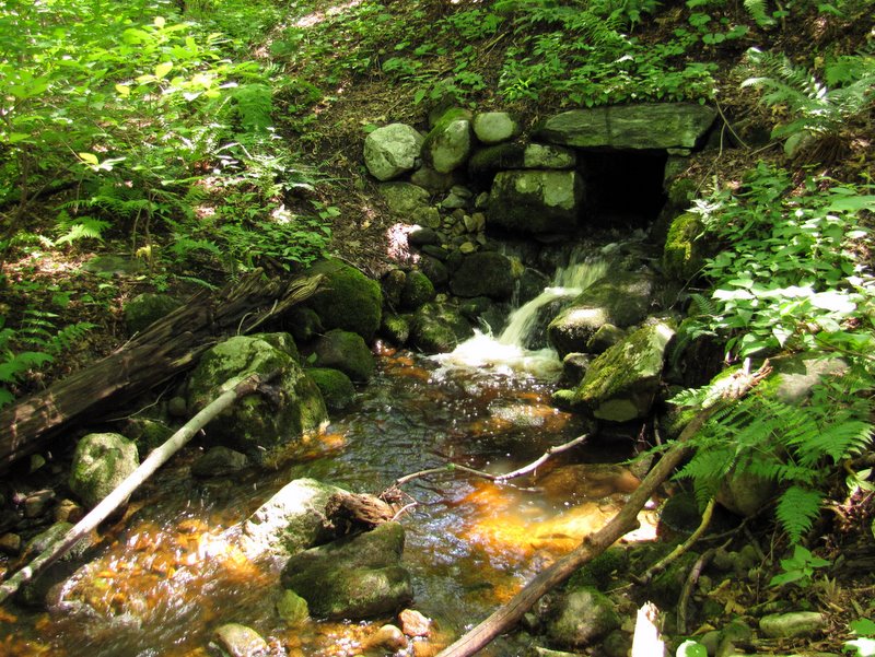 Waterfall on path south of road |
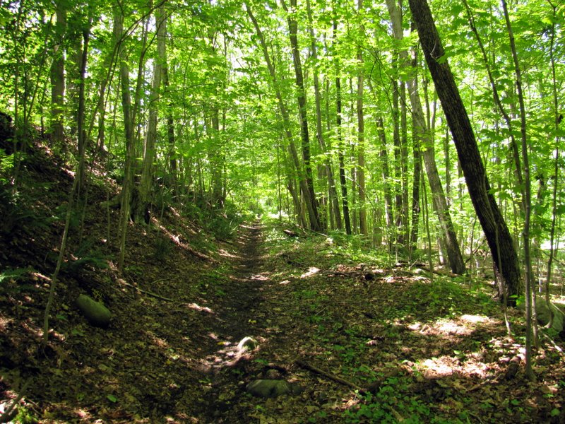 Old RR bed (?) heading west |
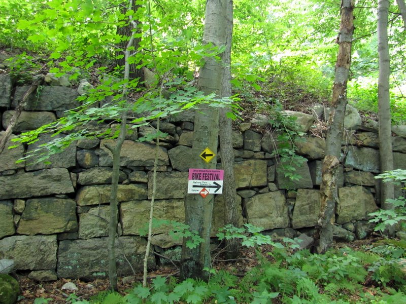 Bike Festival sign |
 View east |
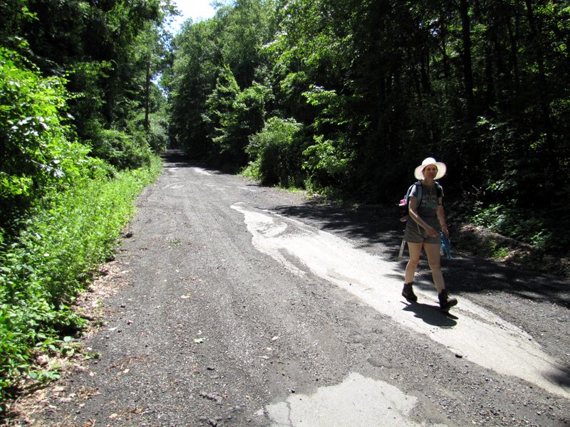 Back to Kinney Road |

|
|
Photographs and content copyright © Dan Balogh Web design by Dan Balogh |