 |
|
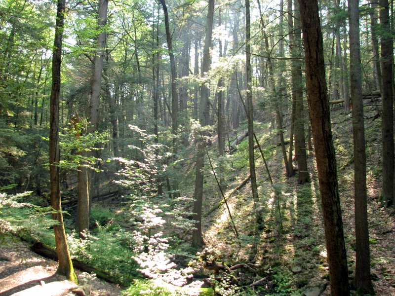
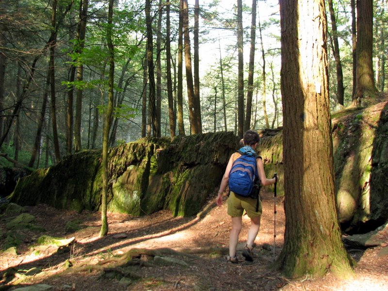
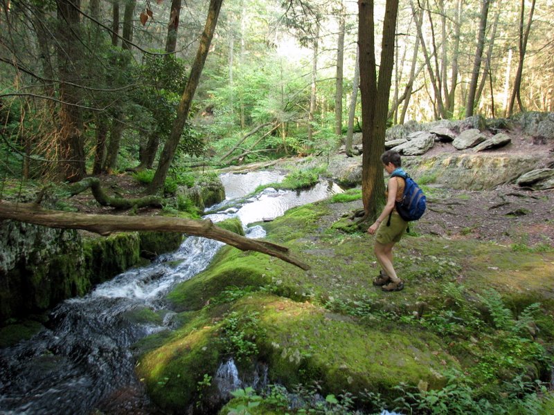
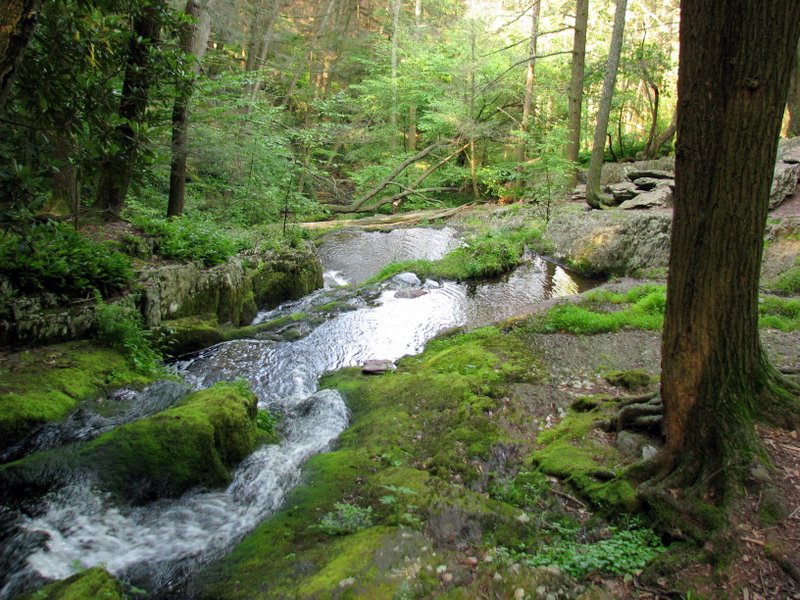
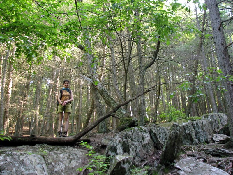
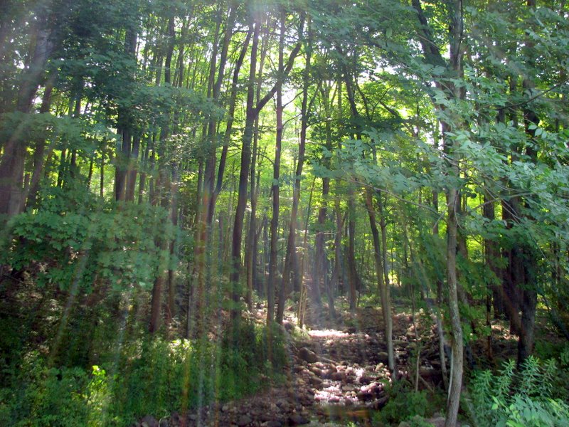
This lollipop hike through beautiful Tillman Ravine out to Walpack Cemetary and back was the perfect jaunt for a hot day. The temperature in the ravine must
be at least ten degrees lower than the surrounding area. We parked at the eastern (upper) parking area on Brink Road, and hiked the Perimeter trail (blazed by
white vertical rectangles) west. At its end, we continued west on an unblazed path keeping the stream on our left (called the Cemetery trail on the trail map)
until we came to Mountain Road. We made a right here, walked
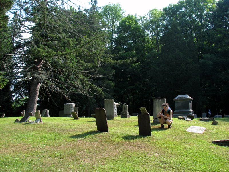
a hundreds yards or so to the Walpack Cemetery before returning on the northern part of the Perimeter trail to the car.
The trail map for Tillman Ravine is posted at the two parking areas. The orientation is not noted on the map,
but north points downward.
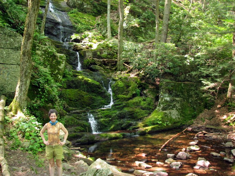
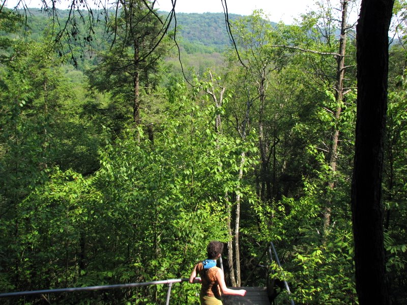
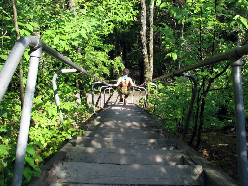
No visit to this area is complete without a drive (down Mountain Road) to Buttermilk Falls. Sturdy staircases allowed us an easy climb to the top. (Click on the thumbnail to bring up a bigger image in a pop-up window)
|
 |
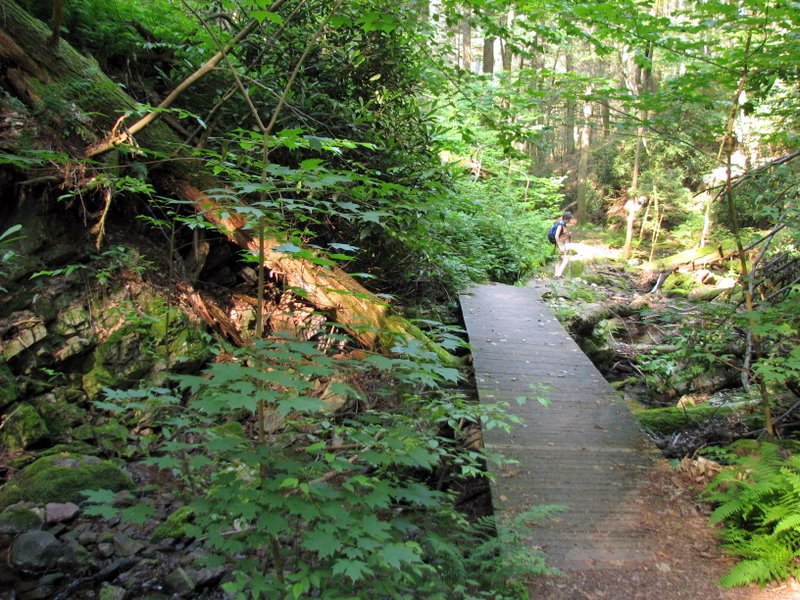
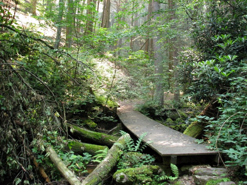
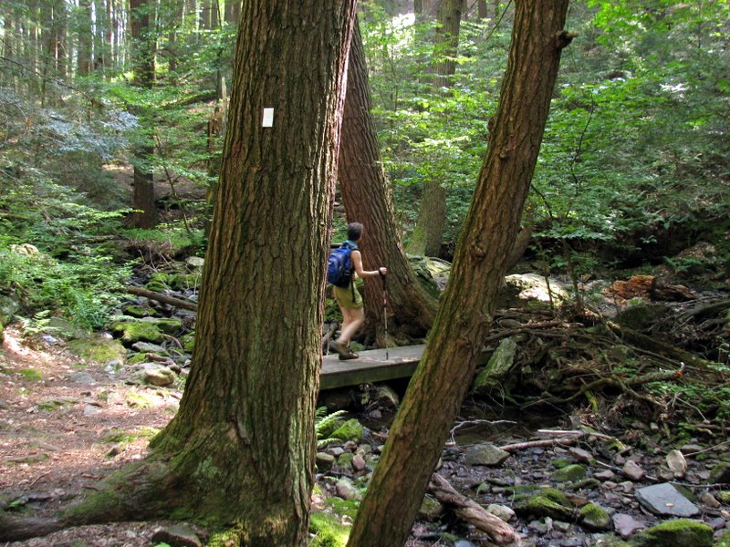
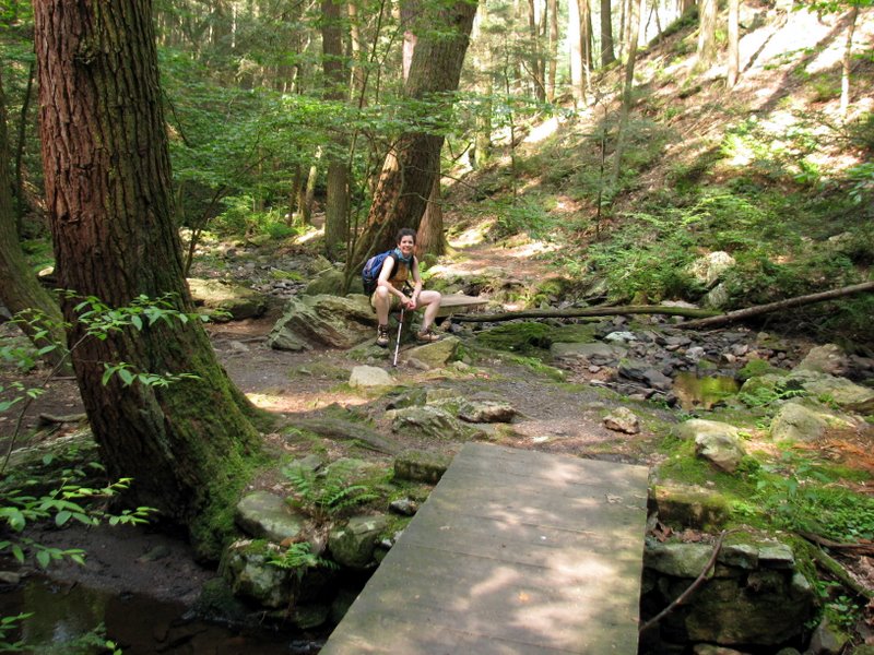
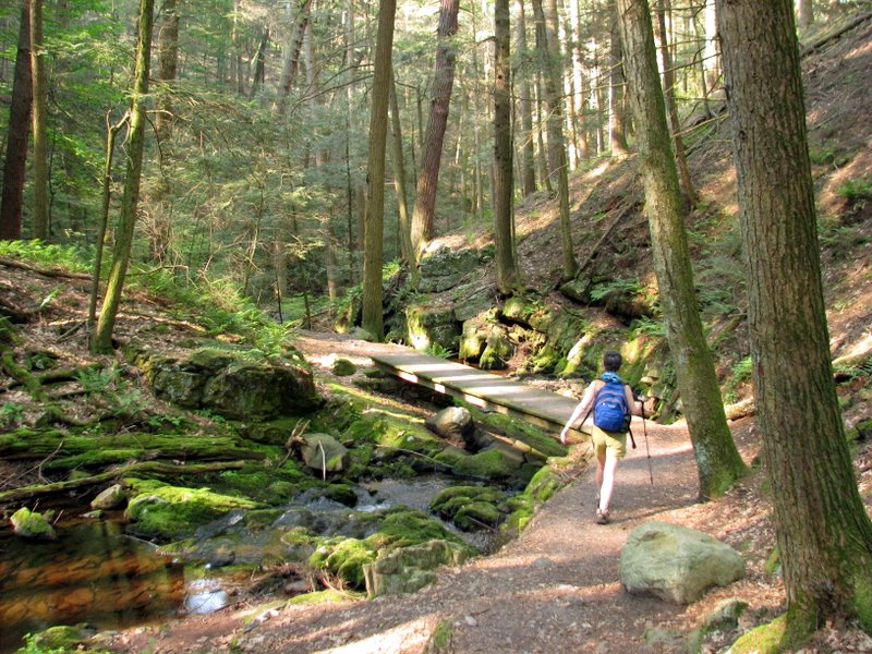 One of several bridges over the stream |
 [Photo by Laura] |
 |
 |
 |
 |
 |
 Beautiful ferns |
 Blow-down |
 |
 |
 |
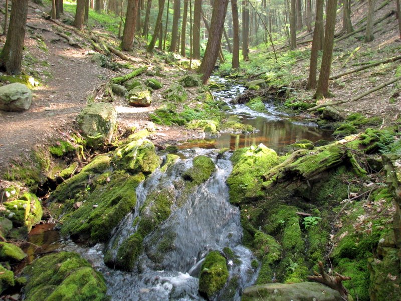
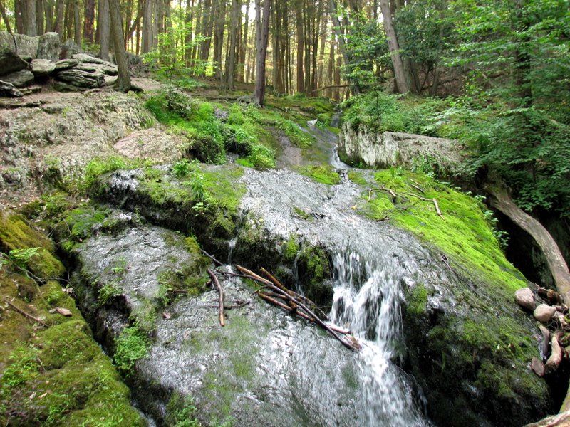
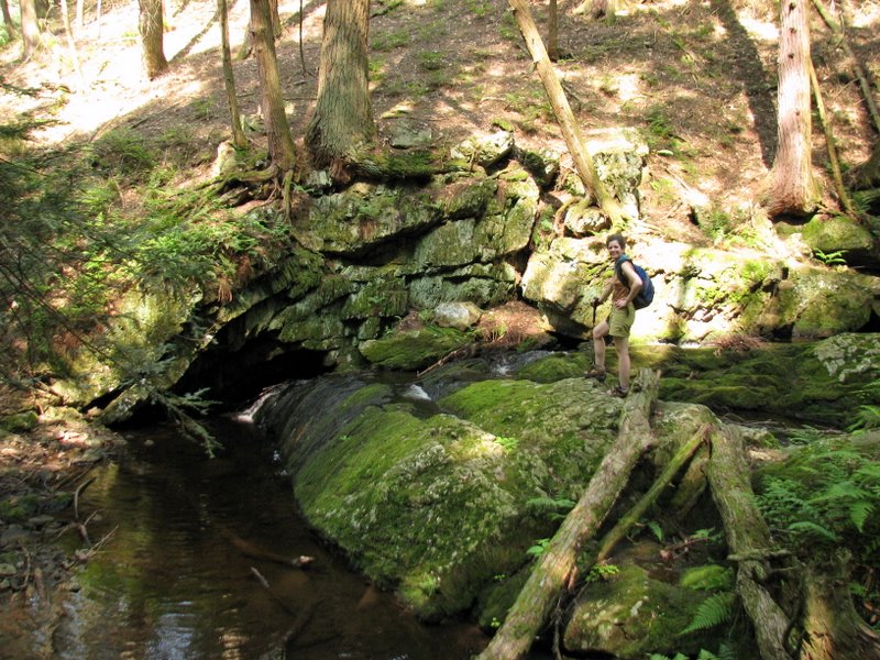
 The teacup |
 |
 |
 Beautiful rockface |
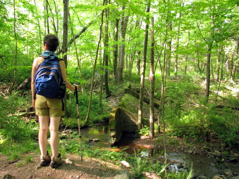 Ruins on Cemetery trail |
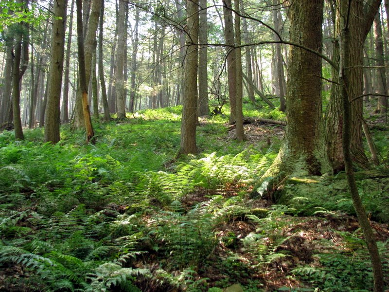
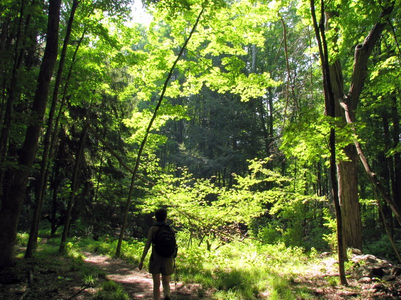
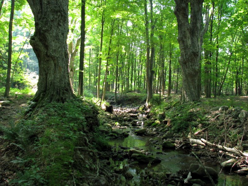 Very old growth |
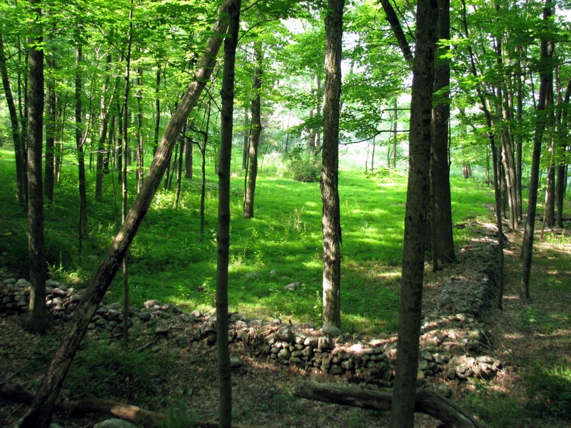 Boundary walls |
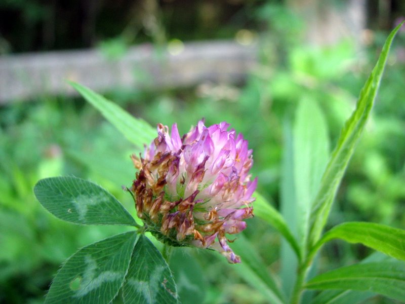 Wildflower on Mountain Road |
 |
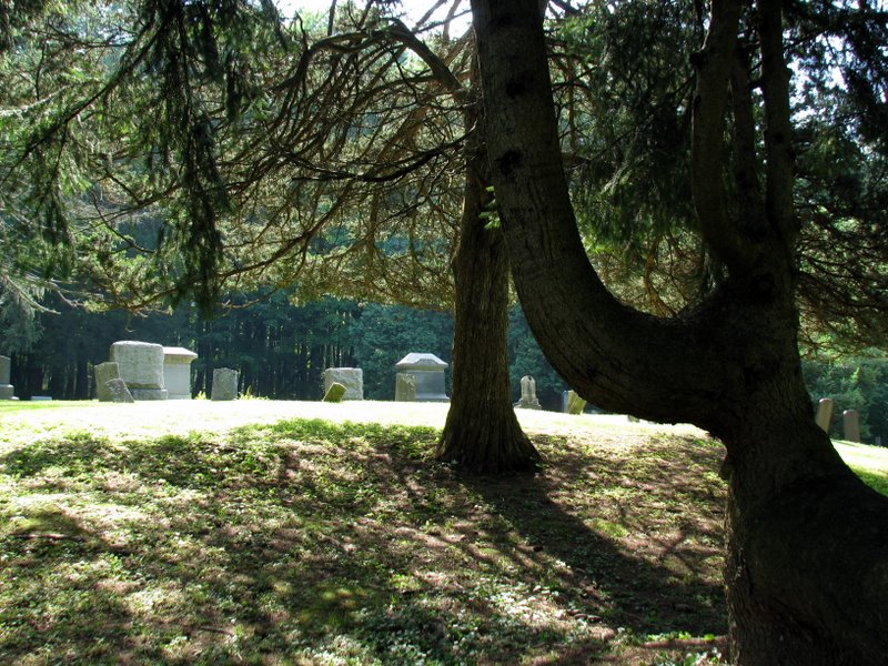
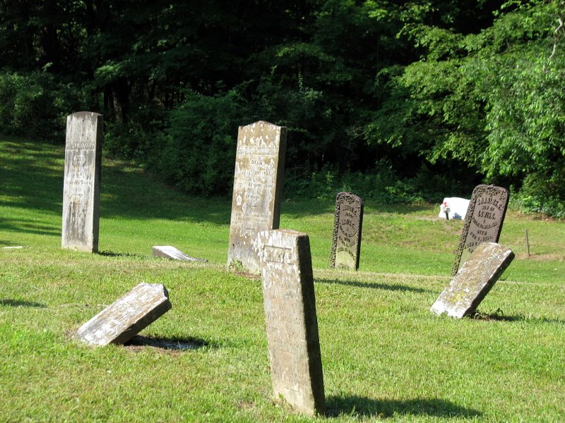
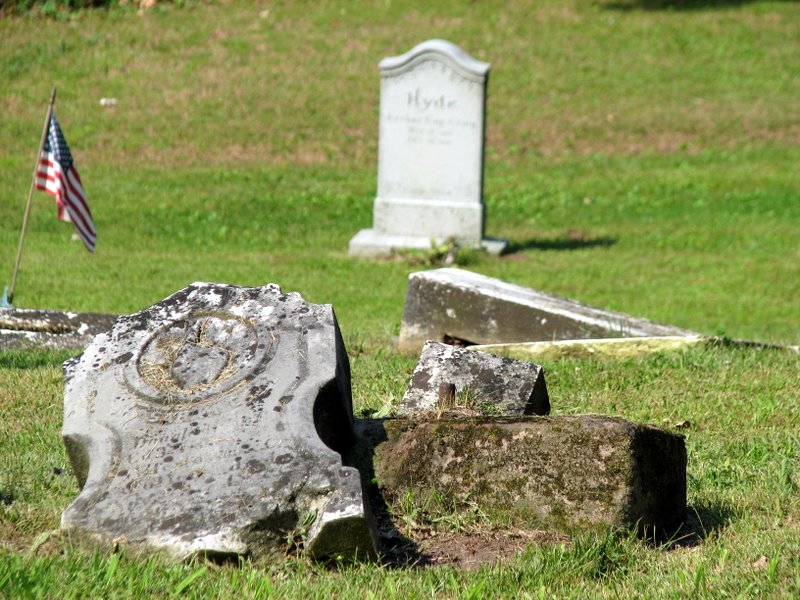
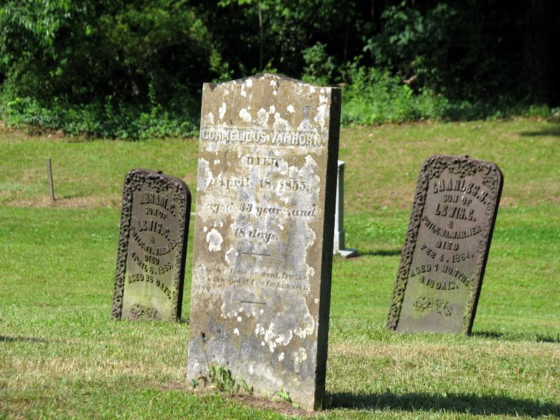
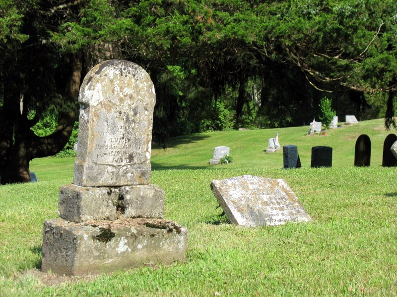 Walpack Cemetery |
 |
 |
 |
 |
 |
 |
 |
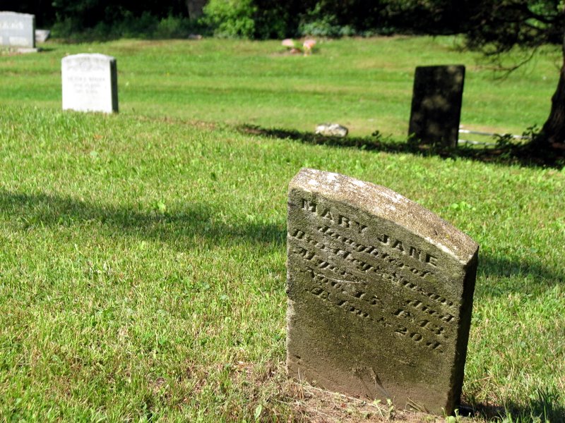
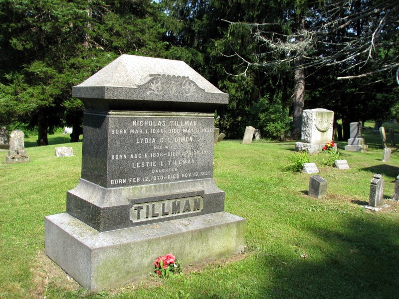 A Tillman! |
 Moth and bug at work |
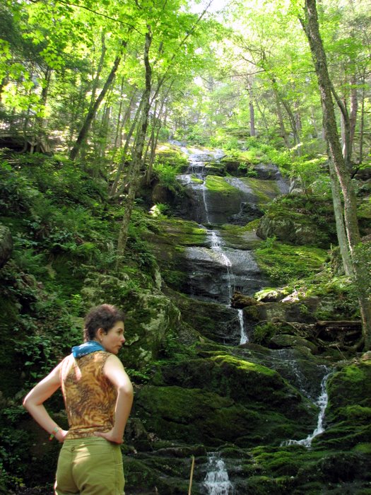
 Back to the ravine |
 |
 |
 |
 |
 |
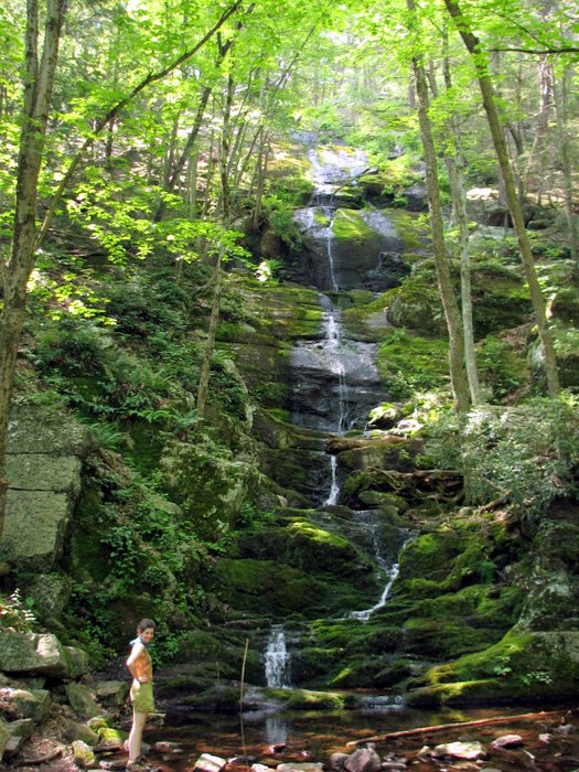 Buttermilk Falls ... |
 ... was a trickle |
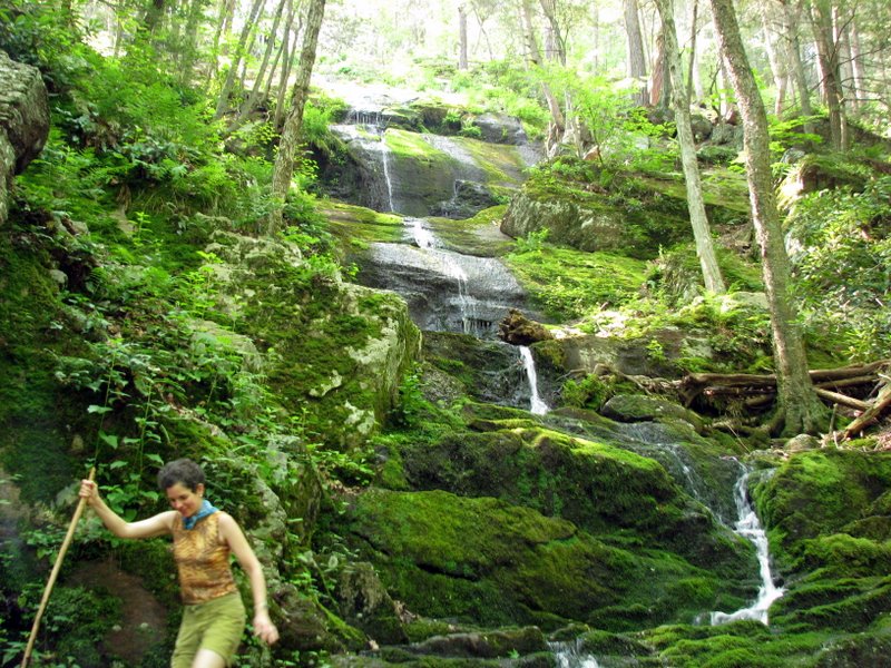 Still impressive |
 |
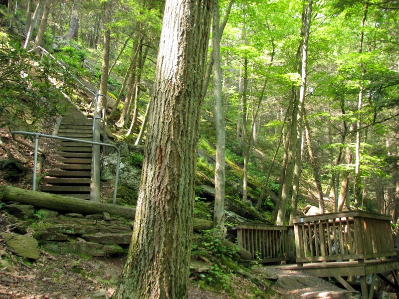 Sturdy stairways ... |
 ... lead to the top |
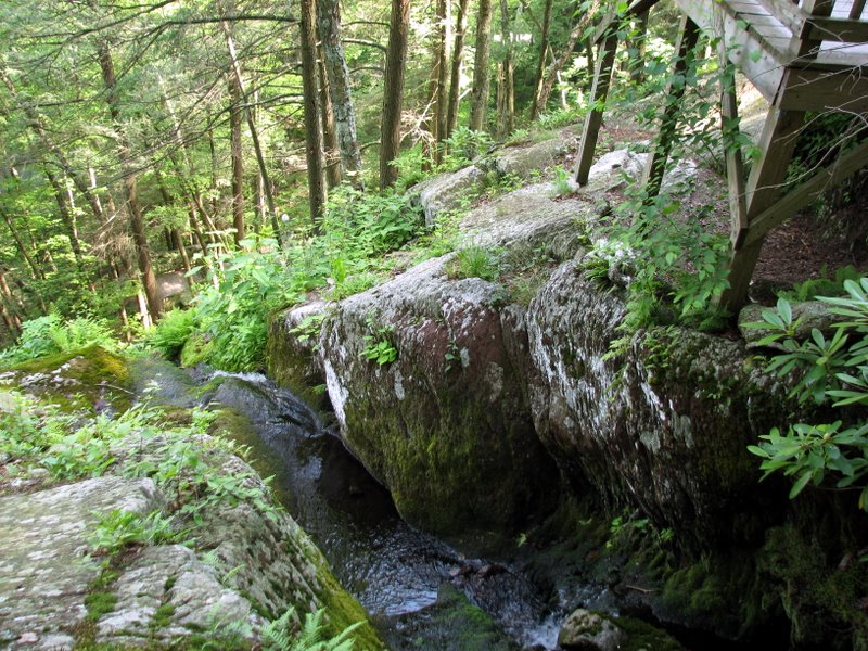 The top of the falls |
 |
 Descending |
 Blooming mountain laurel at falls |

|
|
Photographs and content copyright © Dan Balogh Web design by Dan Balogh |