 |
|
It's been ten years(!) since we hiked this area with some of the most spectacular views in the tristate area. I'm not sure why it fell off our radar,
but it did. To rectify the situation we headed out this weekend to do a bit more of the park than we did way back in
2005.
Using
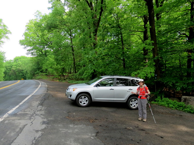
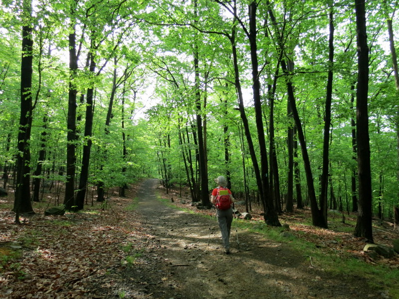
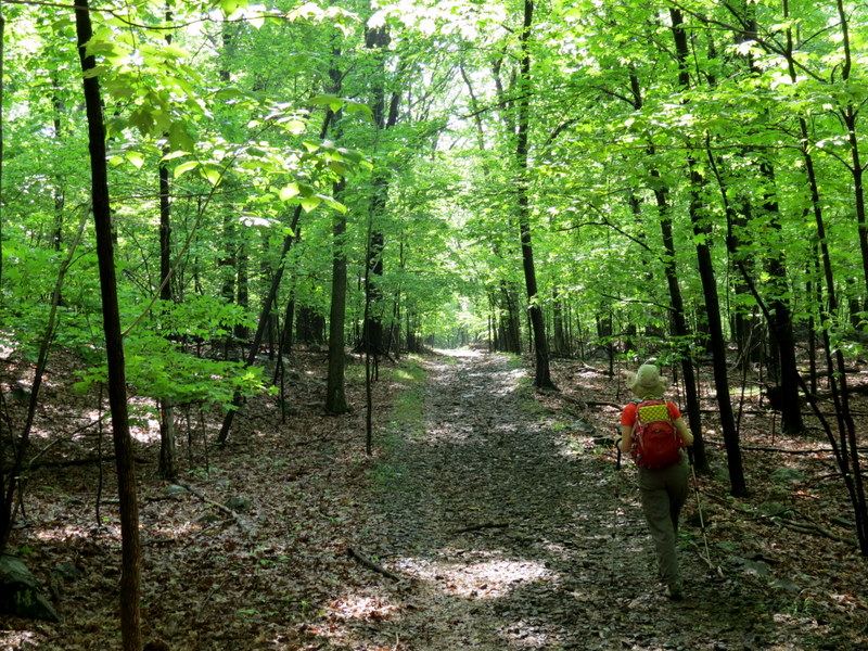
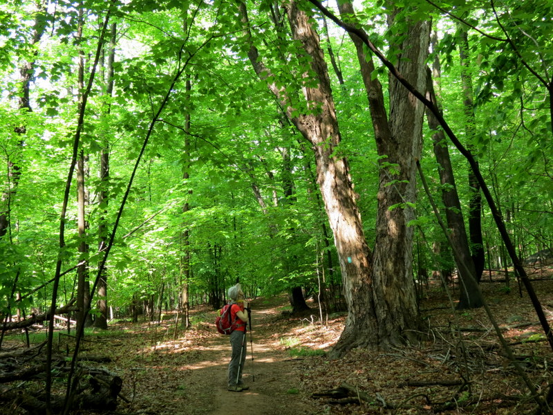
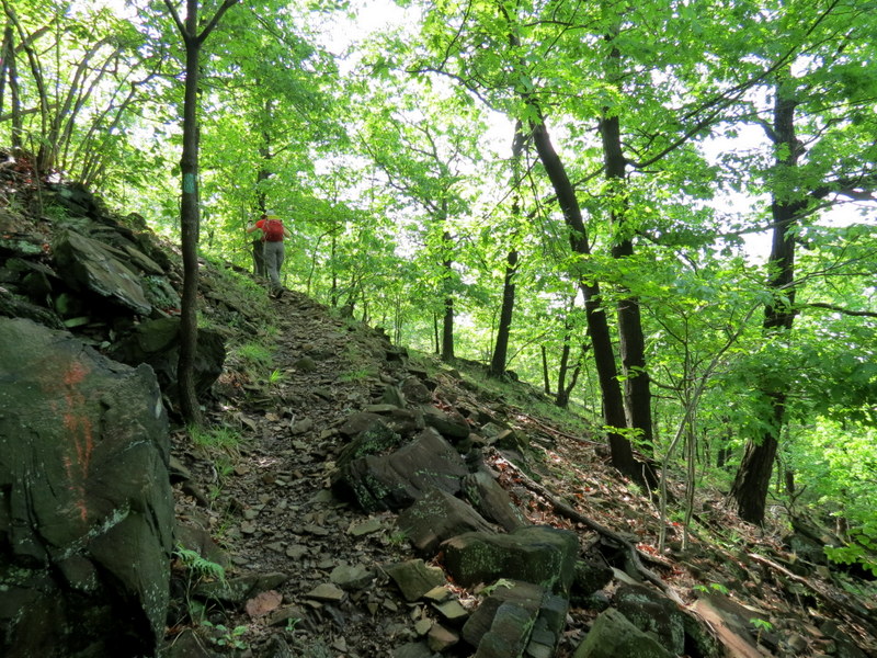
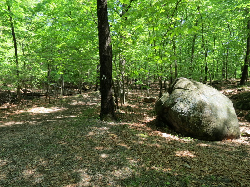
this map we parked at the western gate on South Central Highway. On the other side of the street is South Mountain County Park, where
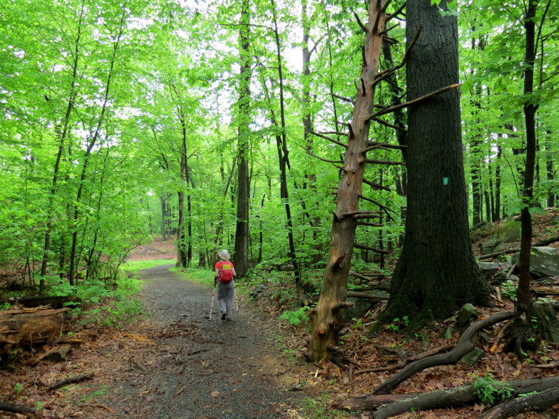
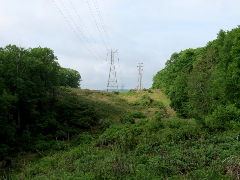
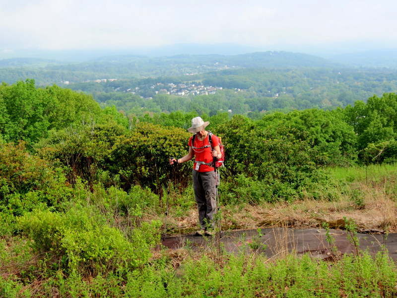
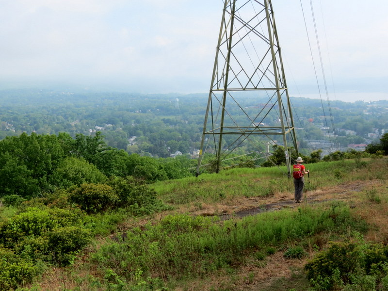
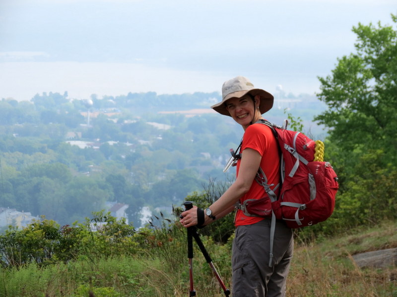
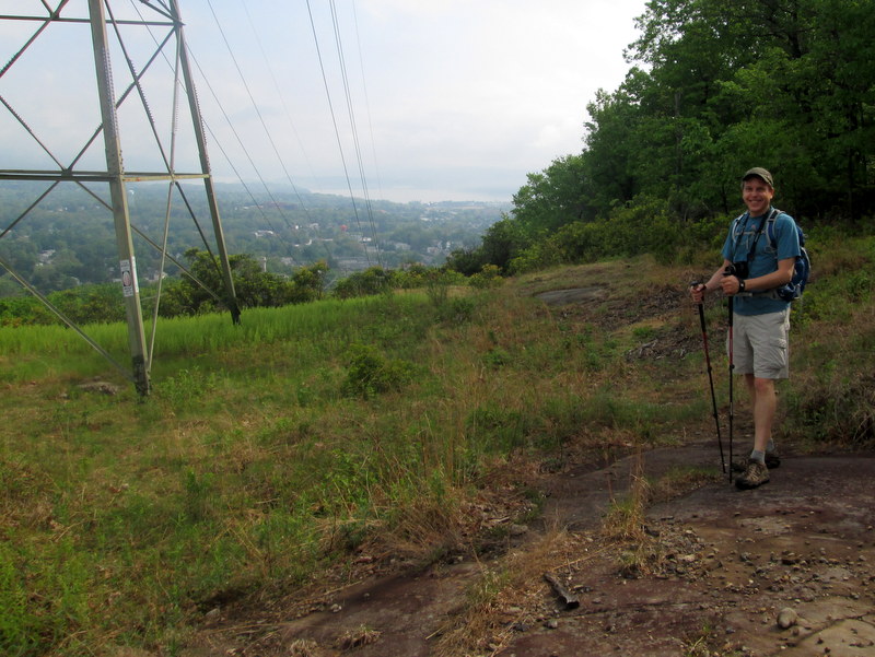
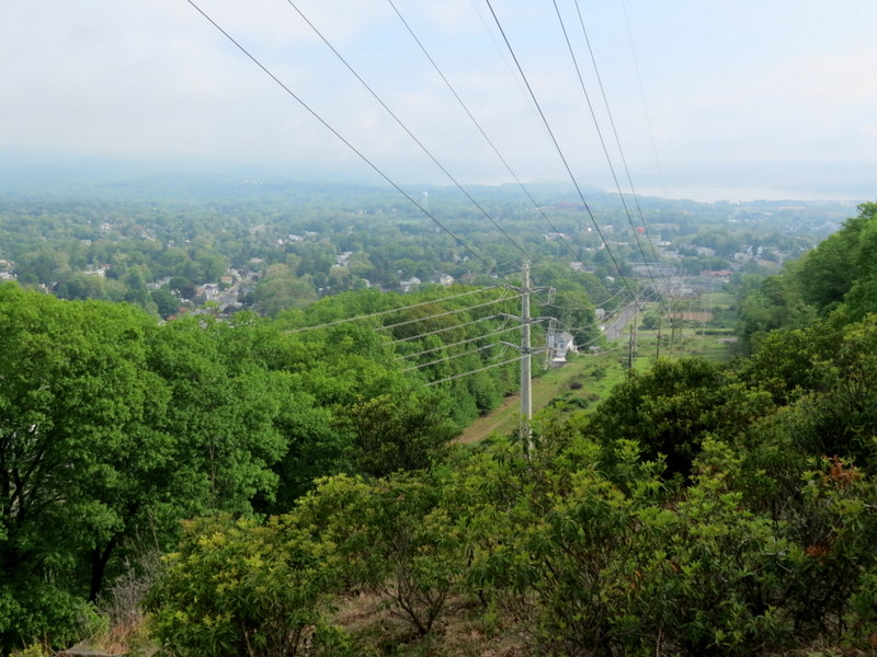
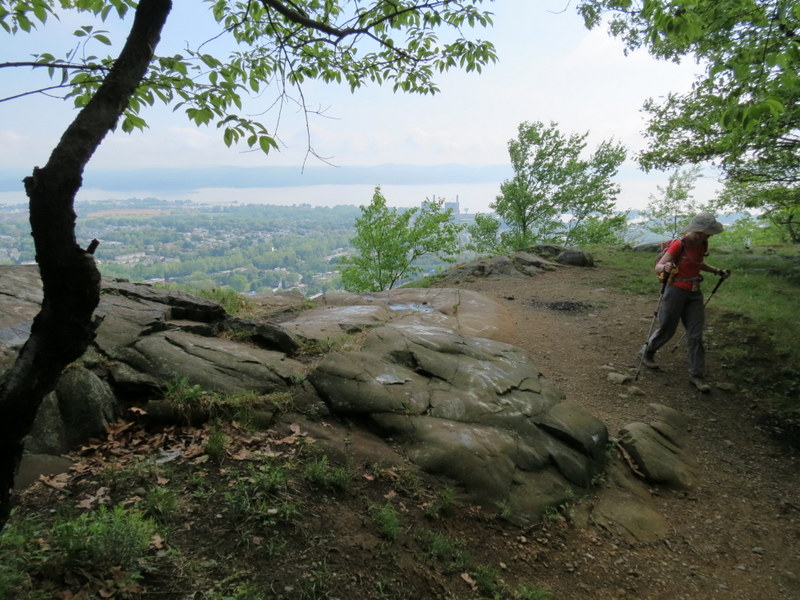
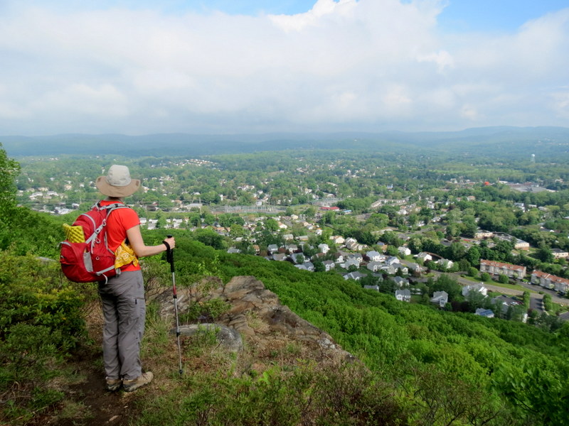
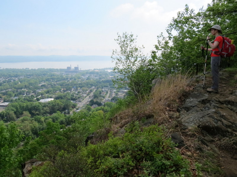
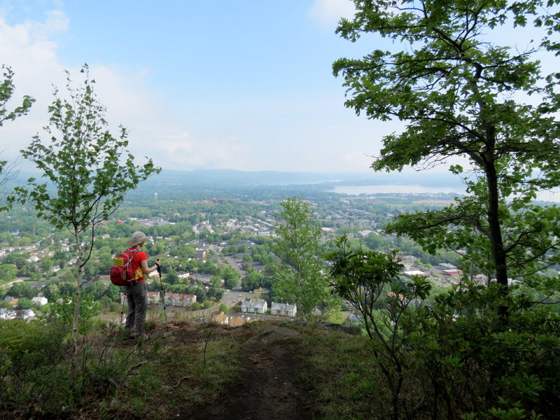
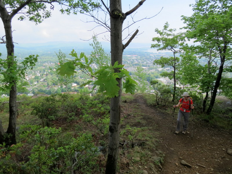
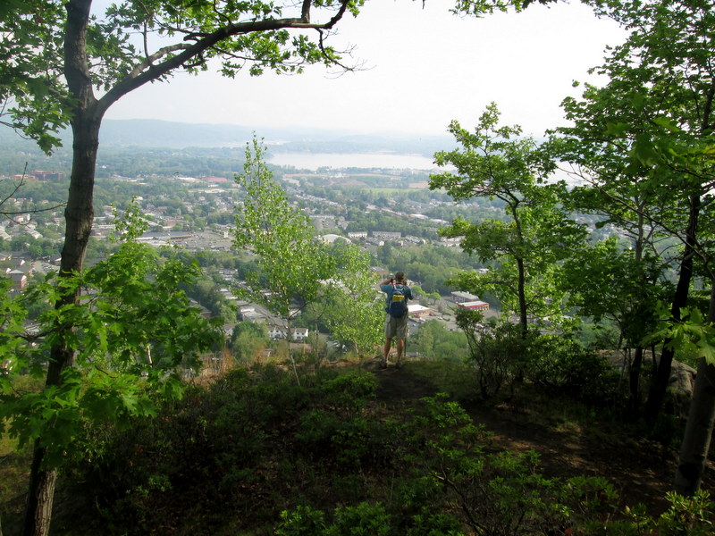
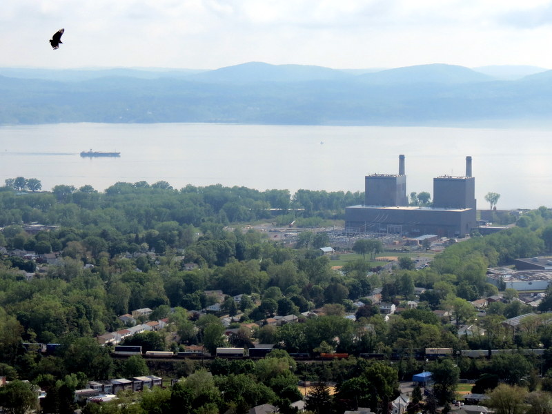
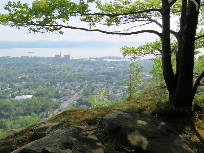
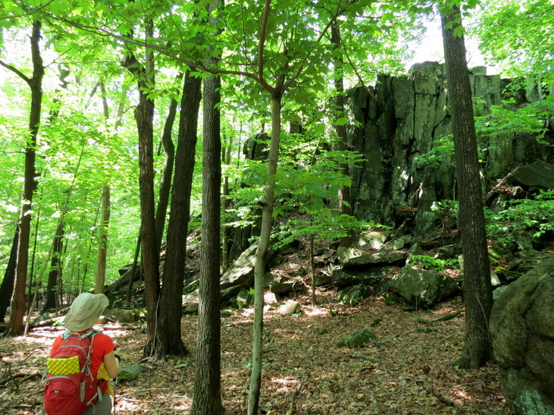
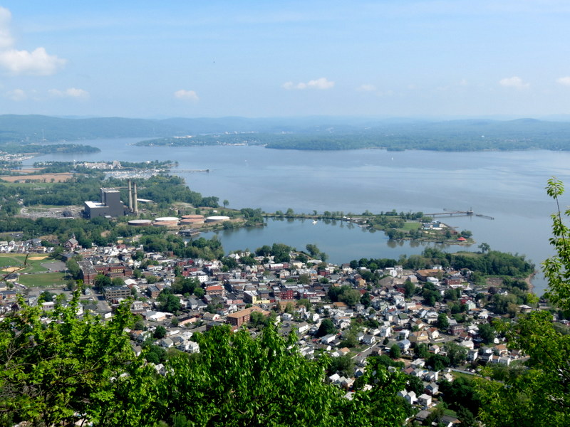
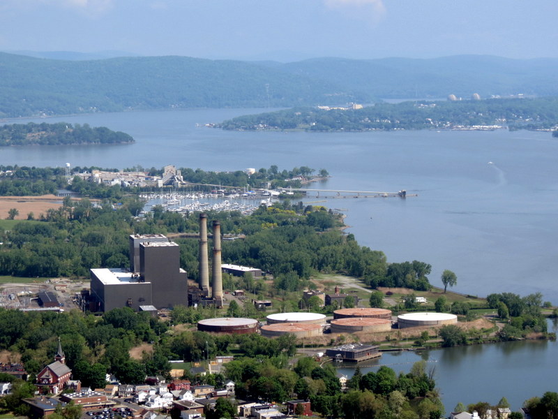
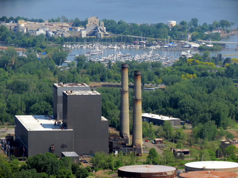
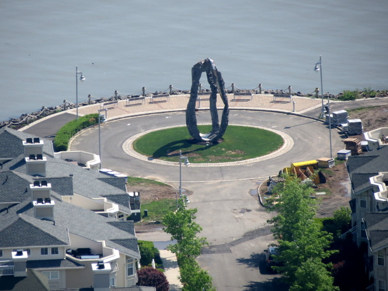
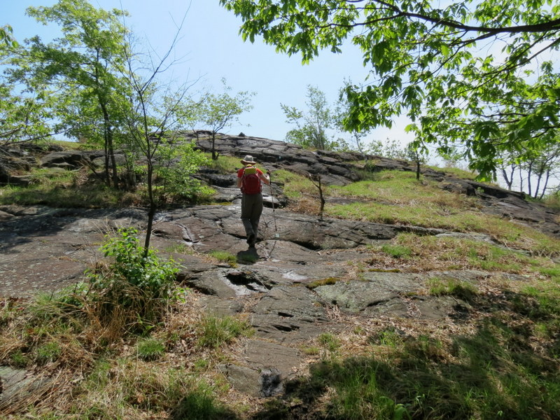
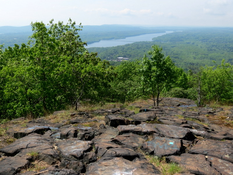
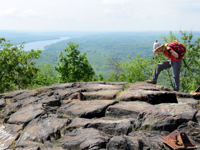
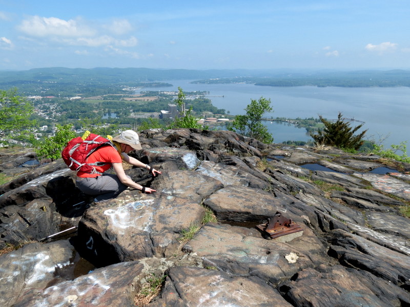
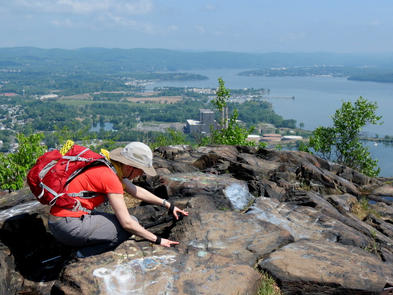
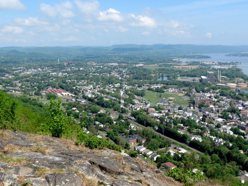
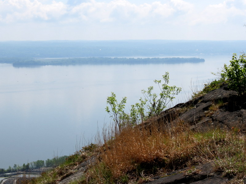
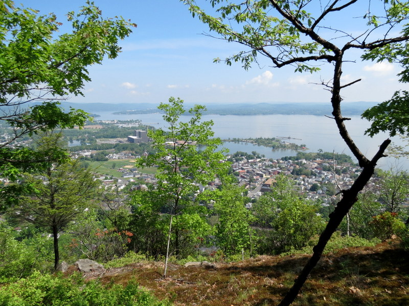
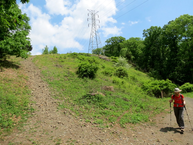
the Palisades ends or begins, depending on your perspective. We hiked east visiting several amazing viewpoints along the way, the first in the powerline
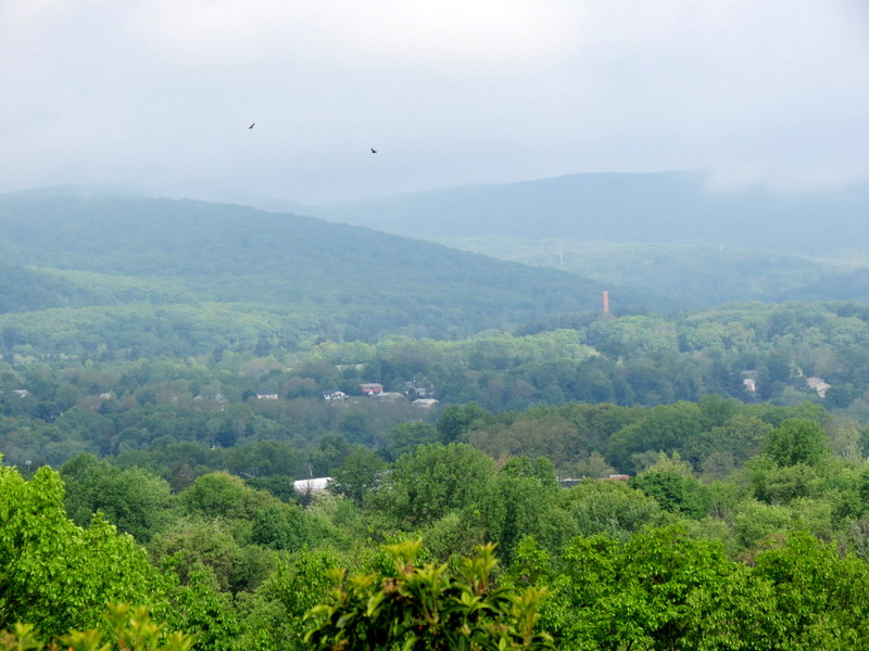
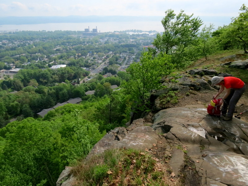
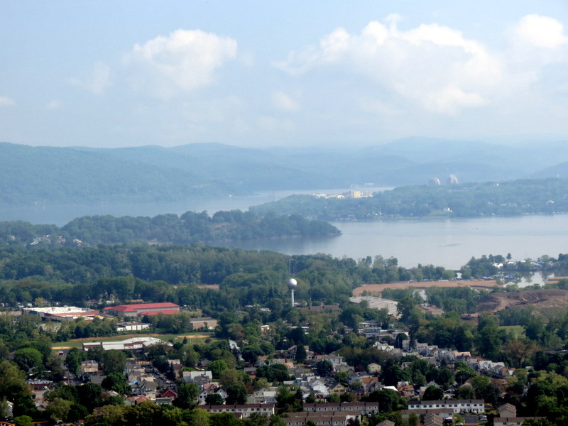
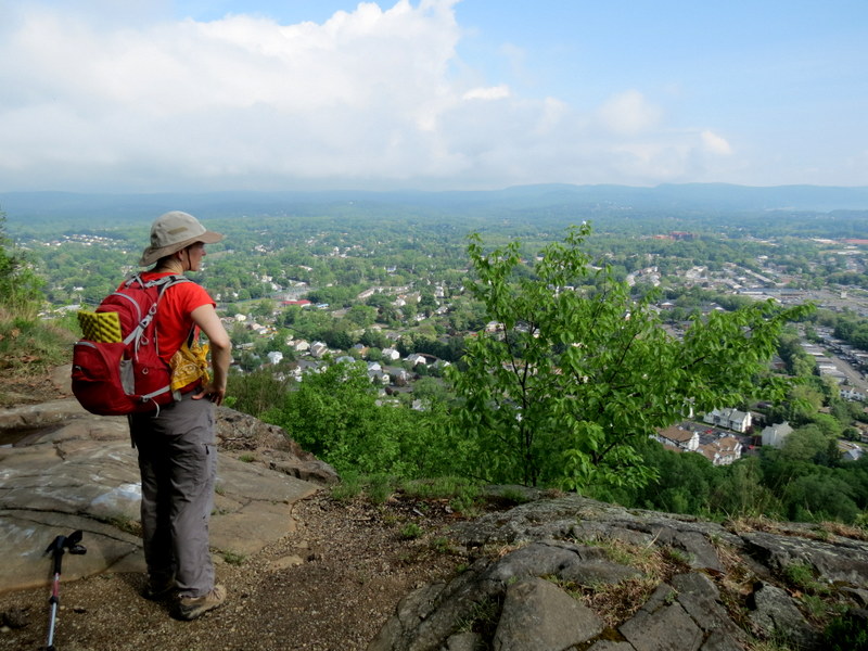
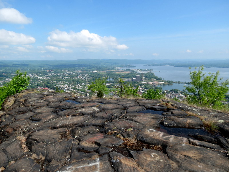
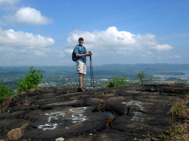
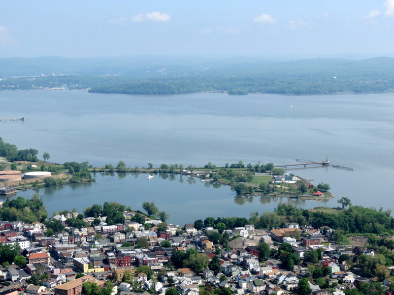
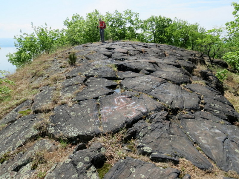
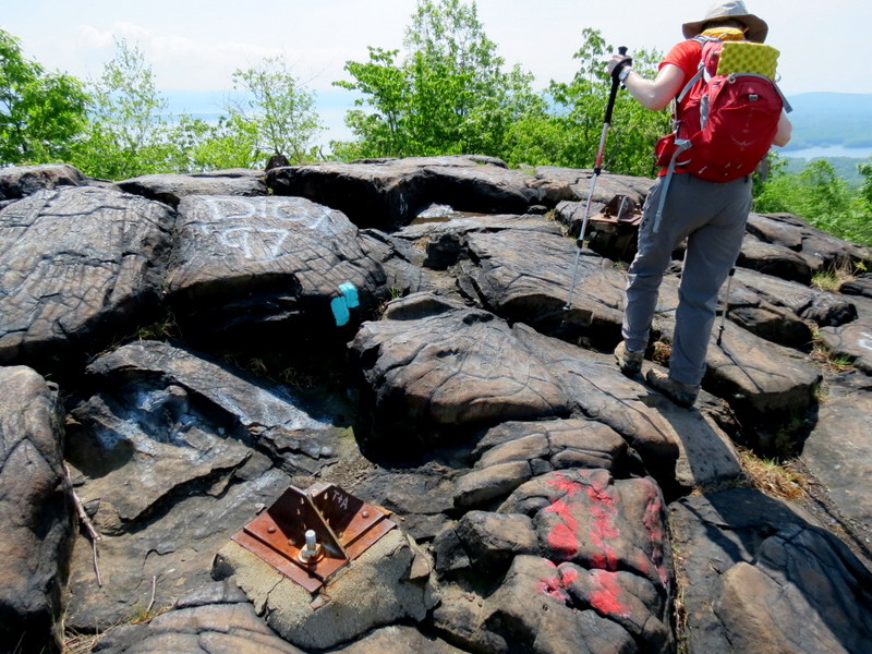
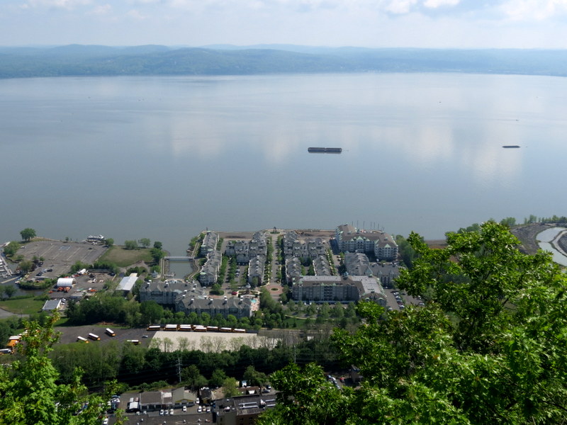
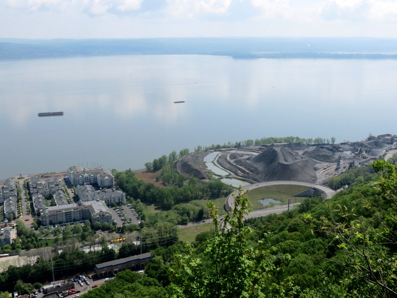
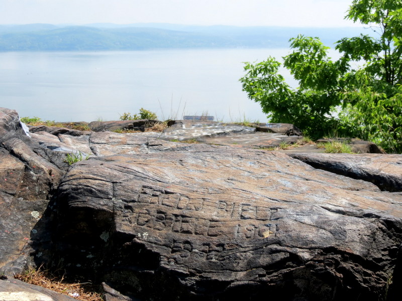
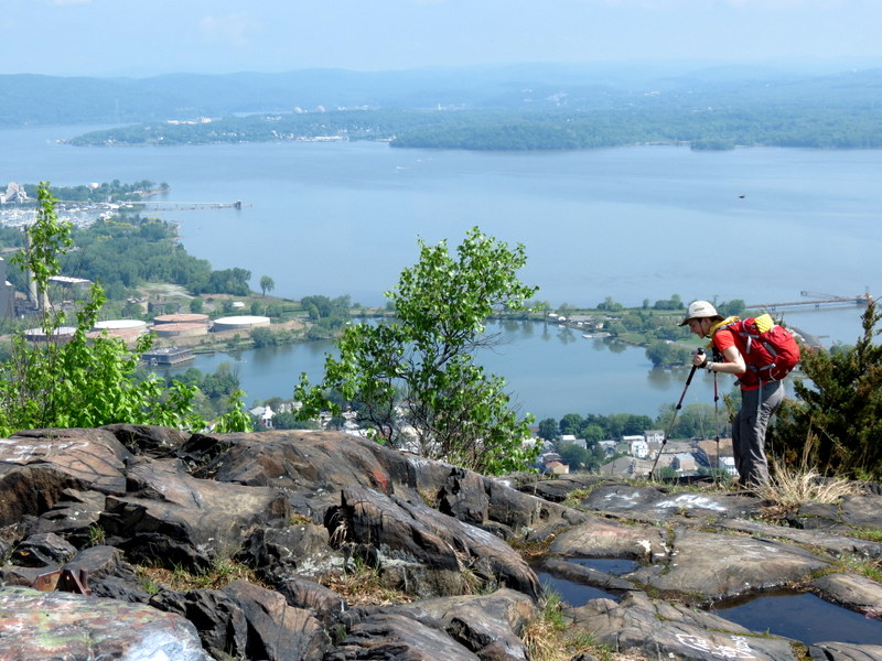
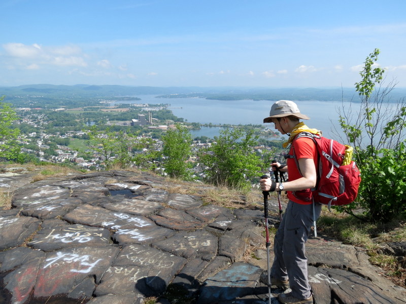
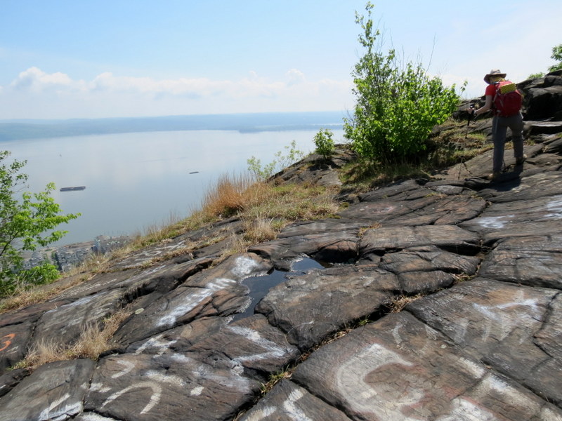
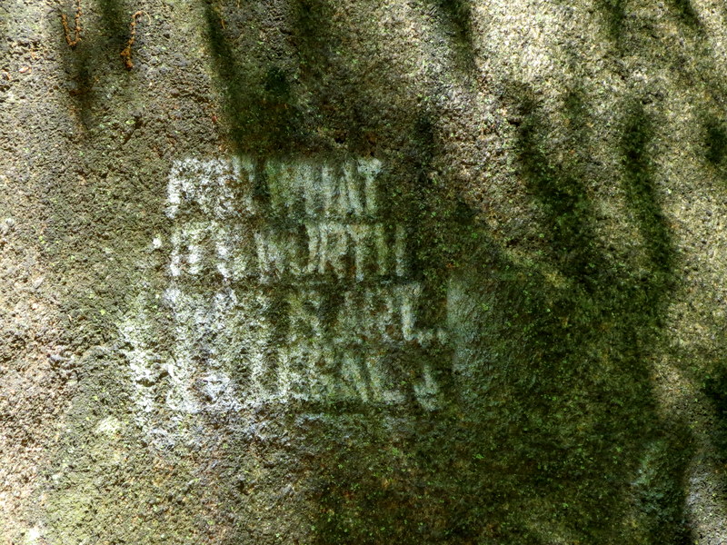
cut within minutes of the start, the next at Little Tor, and finally High Tor. The views keep getting better and better. At High Tor there is so much to
see you're not sure where to look or point your camera. Even the carved graffiti in the rocks is interesting. We spent at least 20 minutes here before
heading back to the car.
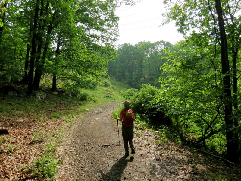
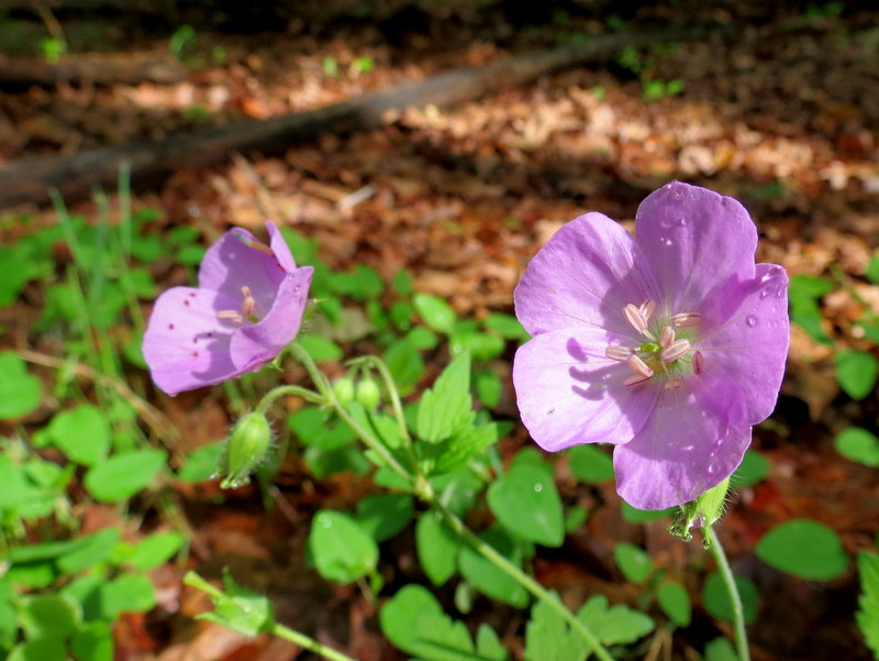
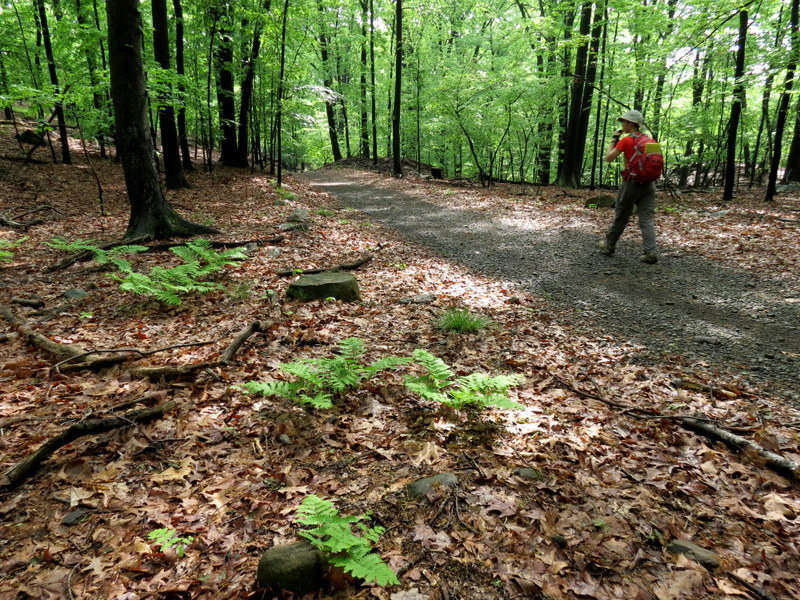
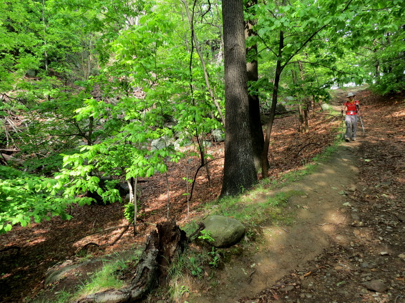
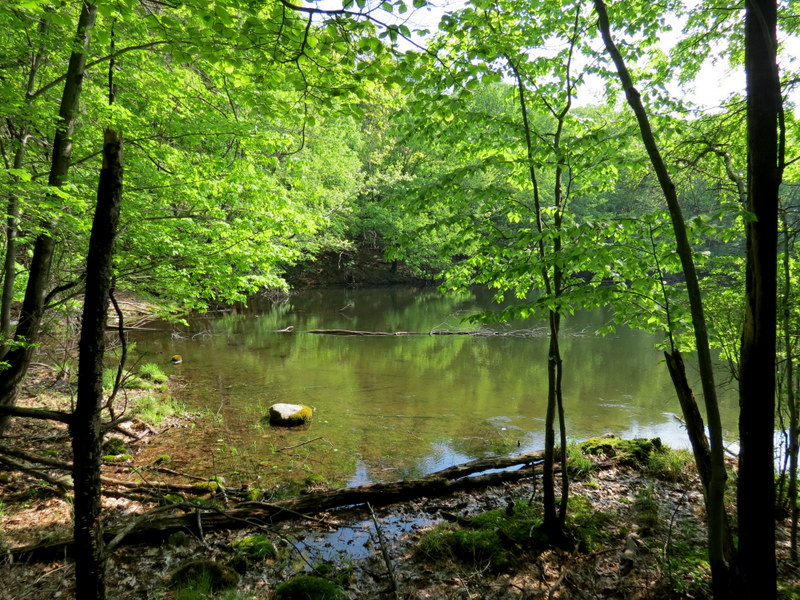
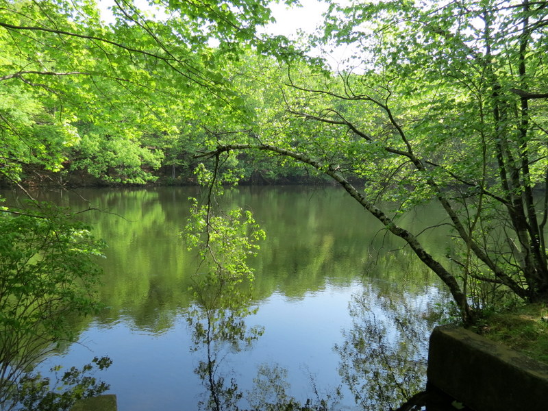
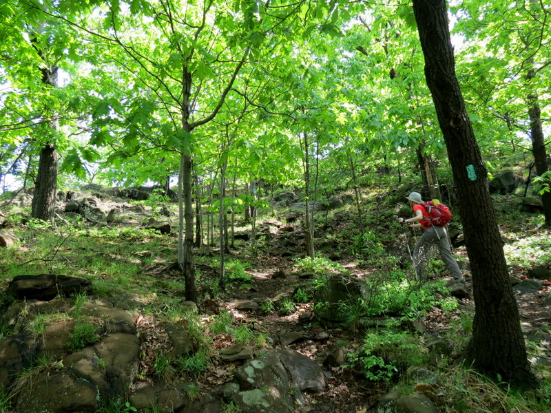
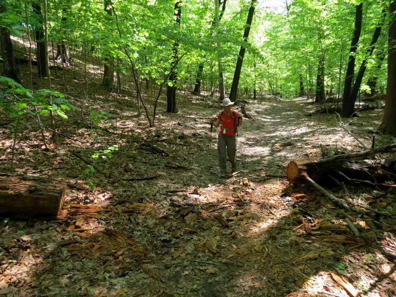
We also took an unblazed spur to Tam's Pond where we encountered some lazy bullfrogs overlooking the lovely little pond. It was a hot, humid day but the path is generally level with only a few steep ascents to the vistas. The entire hike (except for the spurs to the first two vistas and to the pond) uses the Long Path which isn't very interesting on this stretch. But the views make it worth it. Total distance hiked today was 5.8 miles in 3 hours.
|
 |
 |
 |
 |
 |
 |
 |
 |
 |
 |
 |
 |
 |
 |
 |
 |
 |
 |
 |
 |
 |
 |
 |
 |
 |
 |
 |
 |
 |
 |
 |
 |
 |
 |
 |
 |
 |
 |
 |
 |
 |
 |
 |
 |
 |
 |
 |
 |
 |
 |
 |
 |
 |
 |
 |
 |
 |
 |
 |
 |
 |
 |
 |
 |
 |
 |
 |
 |
 |
 |
 |
 |
 |
 |
 |
 |

|
|
Photographs and content copyright © Dan Balogh Web design by Dan Balogh |