 |
|
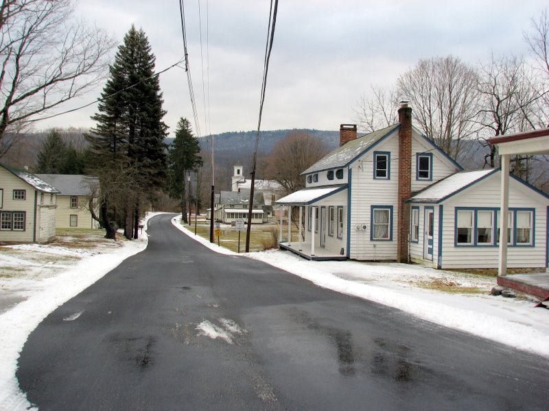
This 3.5-mile Figure-8 hike begins at the Walpack Village Post Office in the abandoned village of Walpack, at the intersection of Route 615 and
Main Street. We parked at the restored post office and crossed Route 615 to begin climbing the Military Road trail (unblazed here).
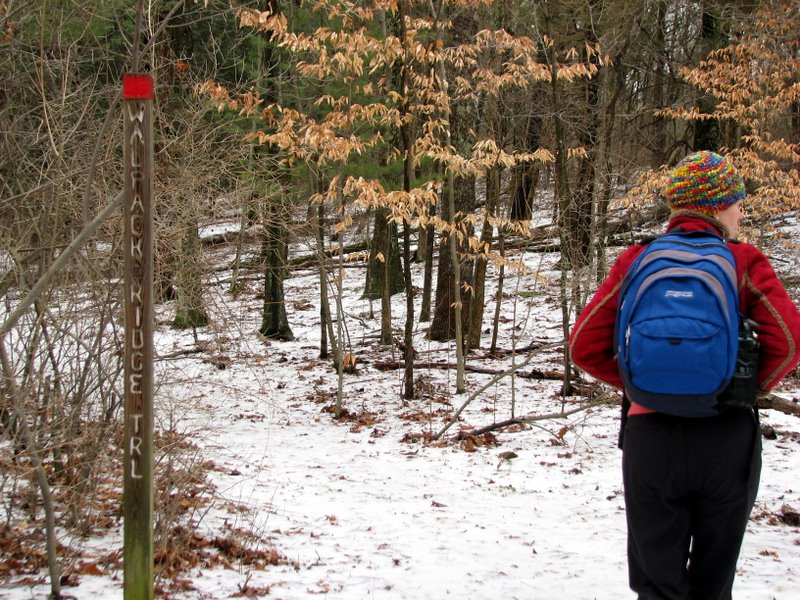
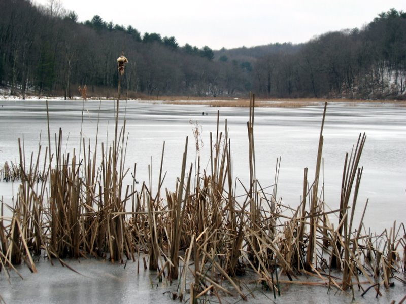
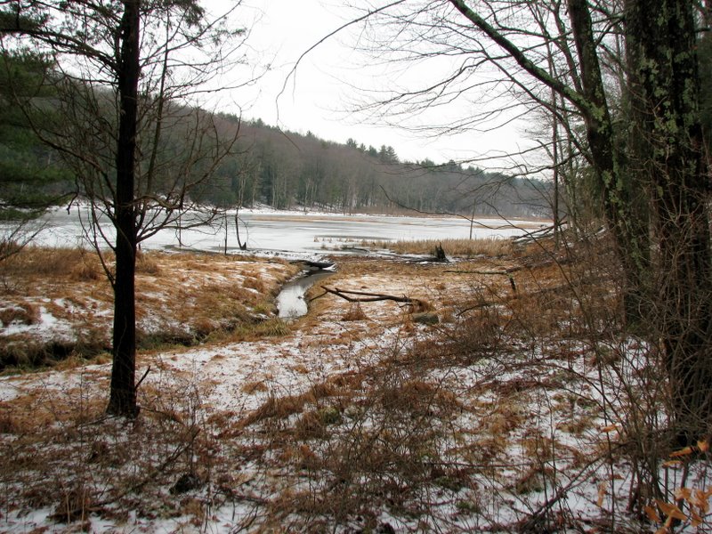
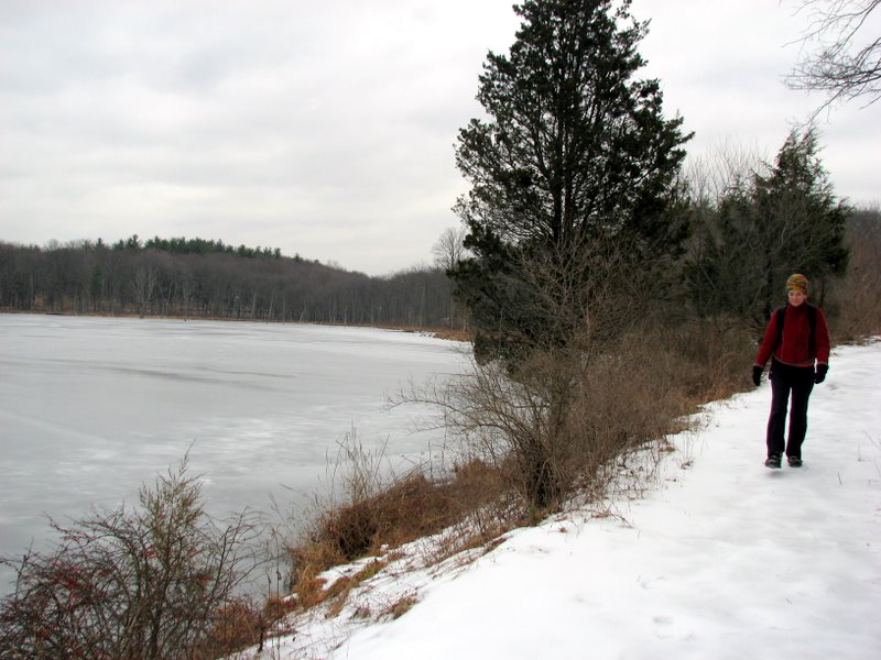
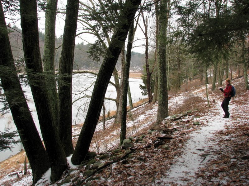
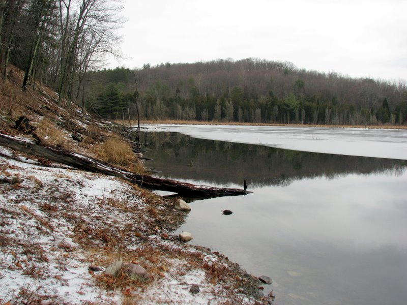
We turned right onto the red-blazed Walpack Ridge trail. After crossing a foot bridge near the NE tip of a large, unnamed lake (which has
signs of beaver activity), instead of proceeding straight on the red, we took a red-blazed connector trail to the western leg of the Walpack Ridge
trail. We didn't intend on doing this, but the fact that this trail was also blazed red made it extremely confusing. Furthermore, the trail is NOT on
the 2005 edition of the NY-NY Trail Conference Kittatinnies Map #17, nor in the much more accurate map in Robert L. Boysen's Kittatinny Trails,
1st Edition.
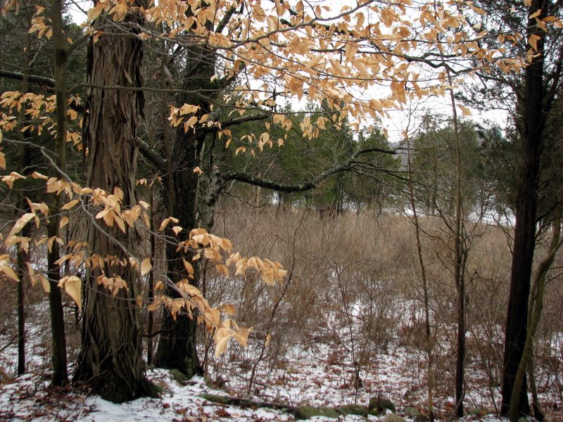
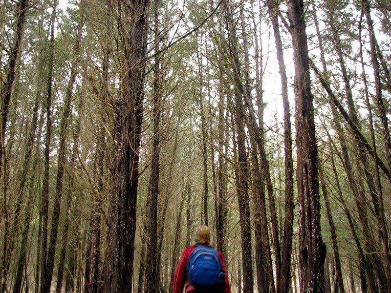
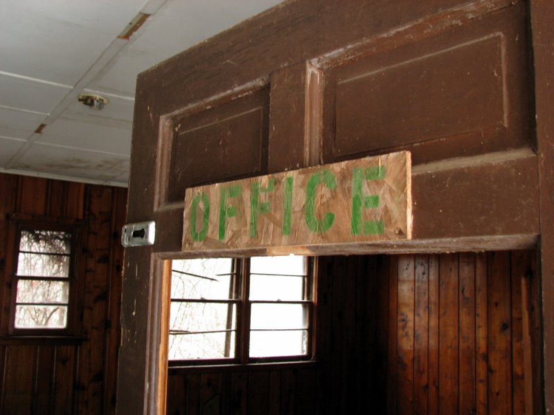
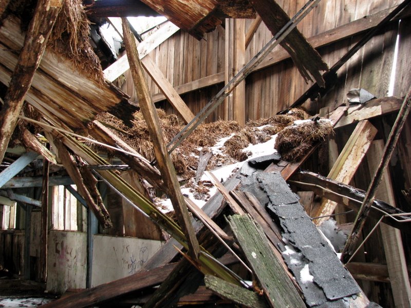
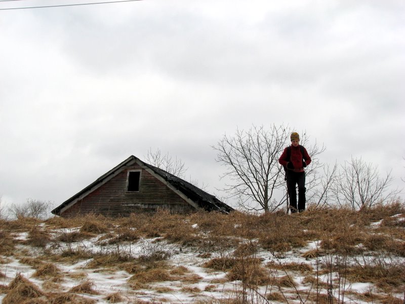
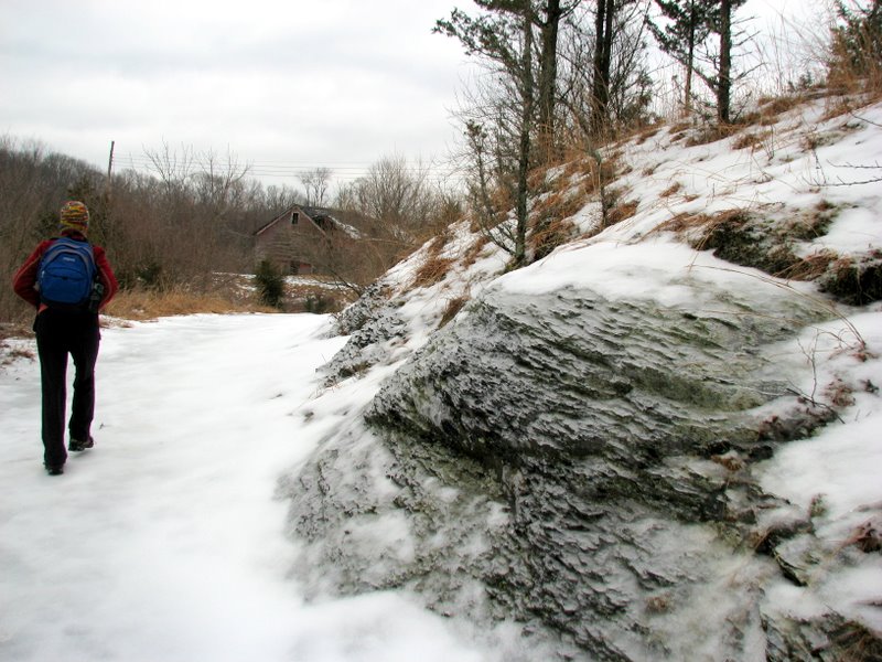
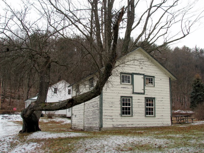
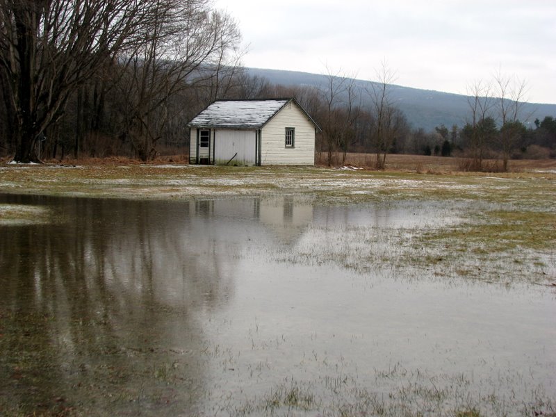
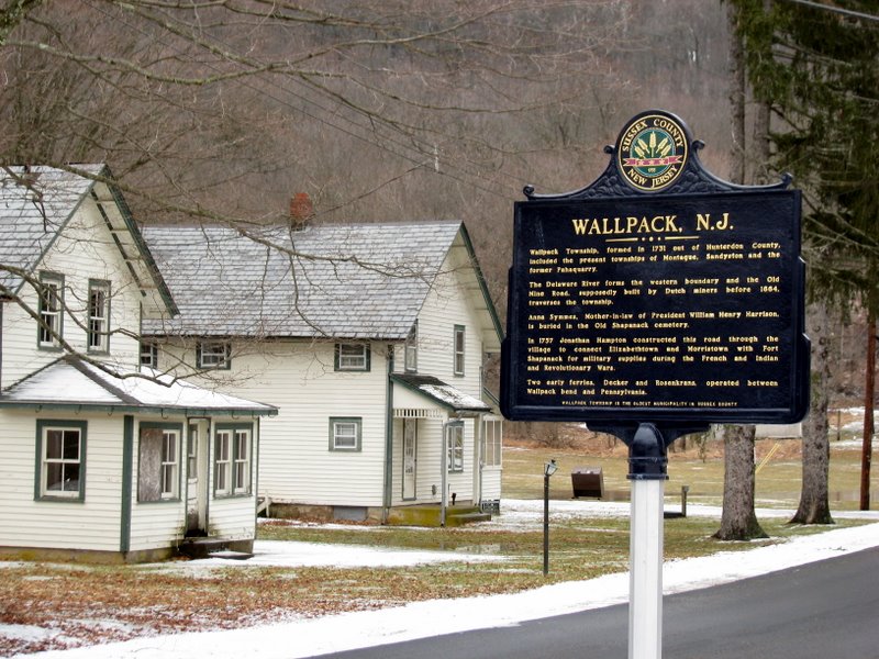
At the top of a nicely constructed log staircase, the western leg of the Walpack Ridge trail goes left (SW) or right (NE). We turned right, passing an abandoned camp building on our right. Shortly after, the red trail turned right before a large abandoned barn, then right again at a clearly marked trailhead near the Thunder Mountain Educational Center. After passing another abandoned building on our left, we once again reached the red-blazed connector trail that we took just a while back. We made a right onto it, retracing our exact steps, climbed the log staircase once again, and then made a left at the top, this time heading SE on the Walpack Ridge trail, keeping the large lake on our left. At its end, we made a left onto the Military Road trail and took that back to our car. As you will see, during this hike we passed several abandonded buildings. I assume these belonged to folks who were forced out by the government during the 1970s fiasco regarding the damming of the Delaware river at Tocks Island. To read a fascinating account of the aborted dam project, check out this 11-part series that appeared in The Pocono Record in 2001. (Click on the thumbnail to bring up a bigger image in a pop-up window)
|
 Main Street of restored Walpack |
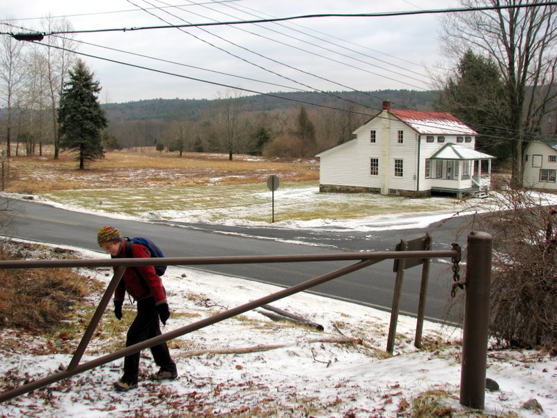 Trailhead of the Military Road trail |
 SE terminus of the Walpack Ridge trail |
 |
 |
 |
 |
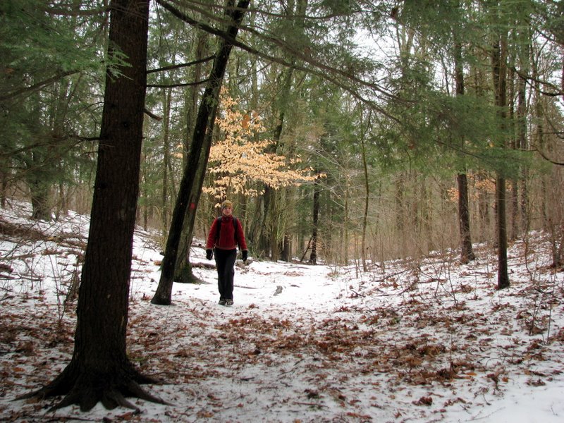
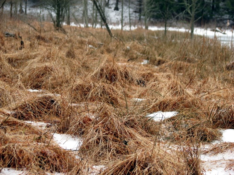
 Lots of saplings |
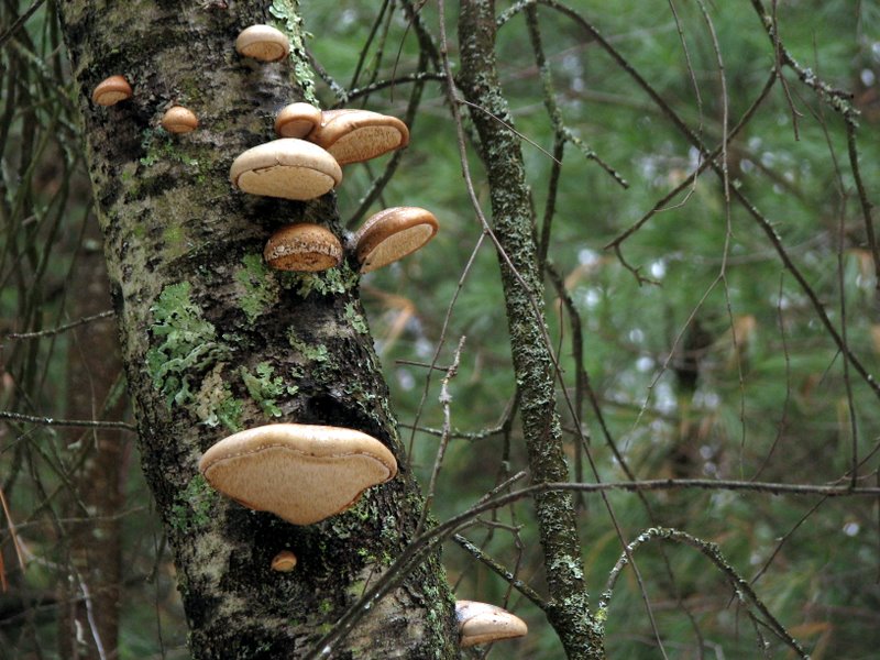
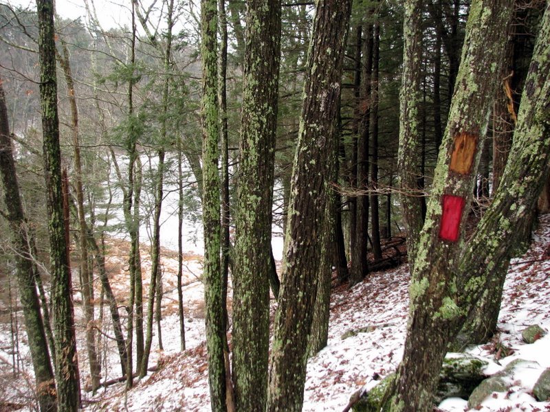
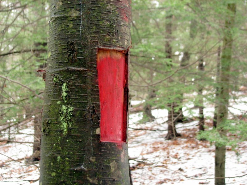 Several blazes were cut into the trees |
 |
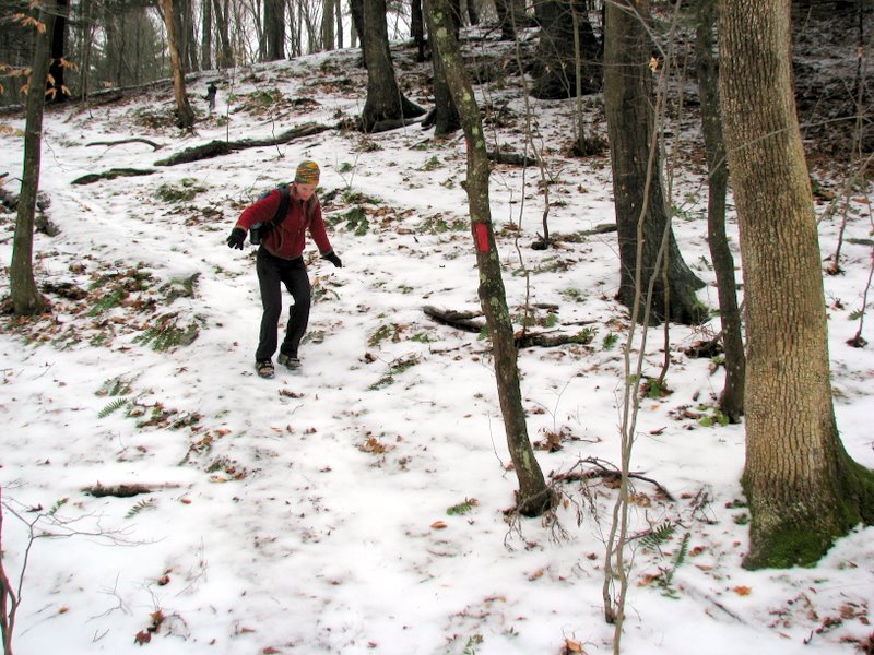 Slippery descent |
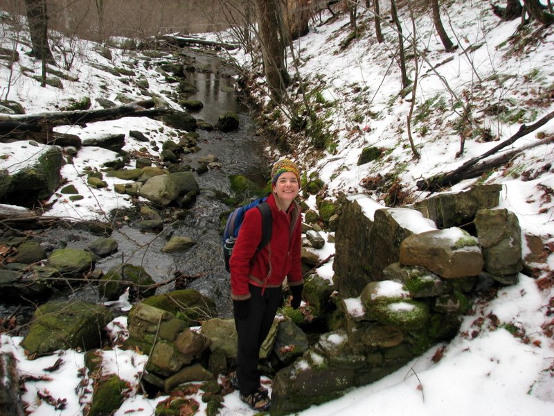 Old wall beside a creek |
 Very icy |
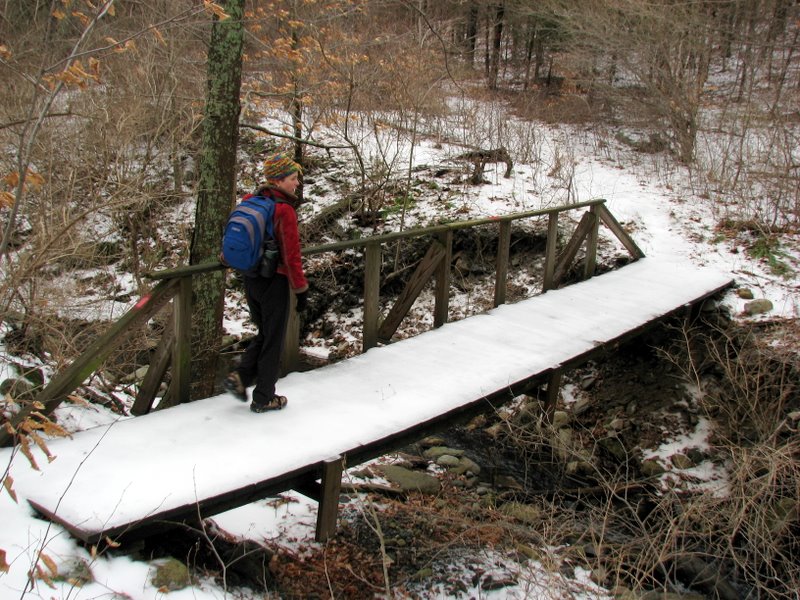 Foot bridge near NE tip of lake |
 |
 |
 |
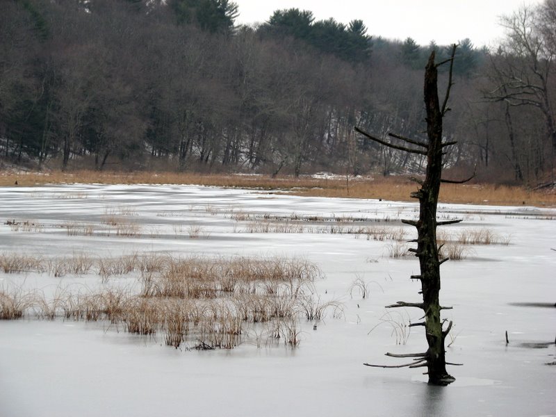
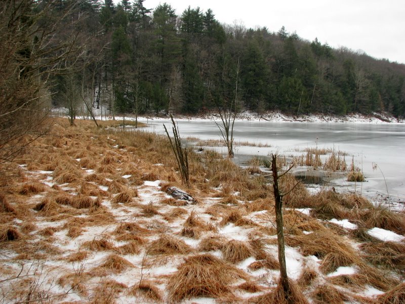 Unnamed lake |
 |
 |
 |
 The logs were too slippery! |
 |
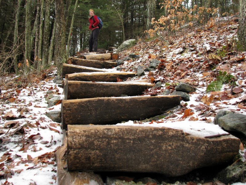 Log staircase on red connector trail |
 |
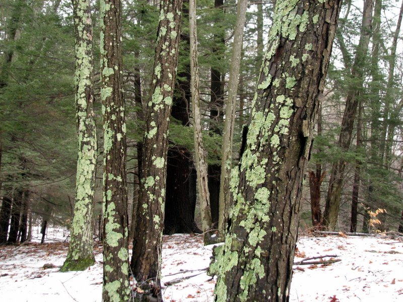
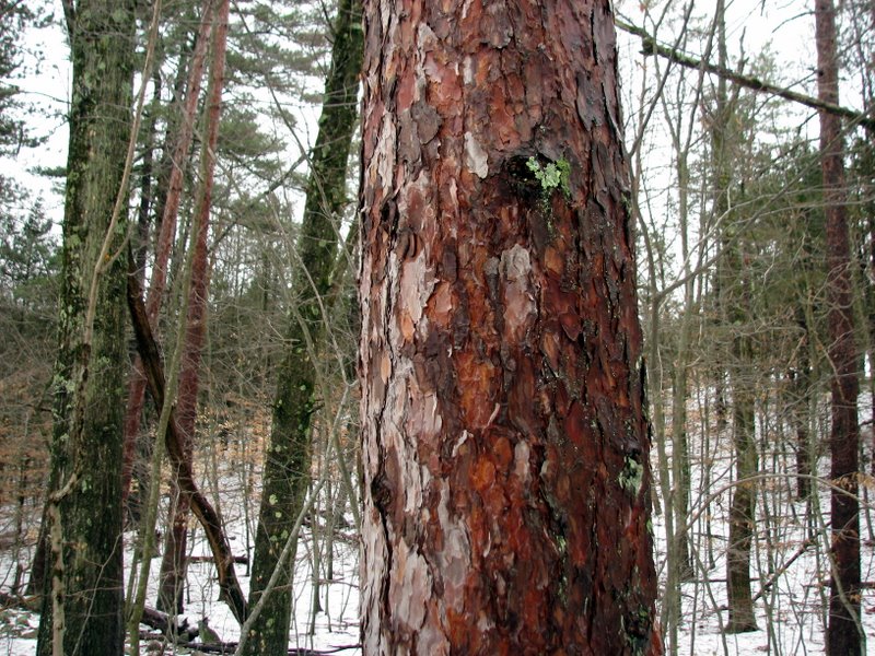 Pine bark |
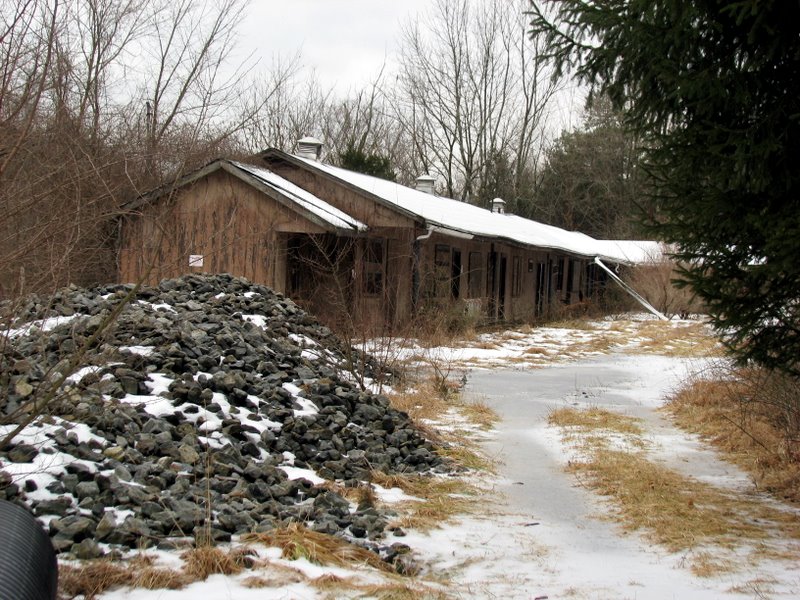
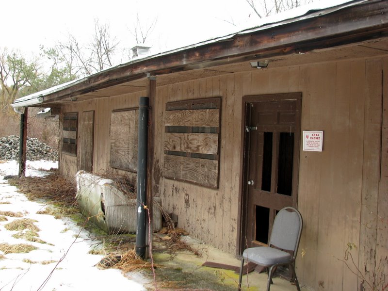 Abandoned building near NW tip of trail |
 |
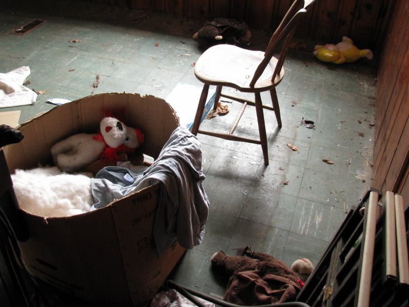 Toys left inside |
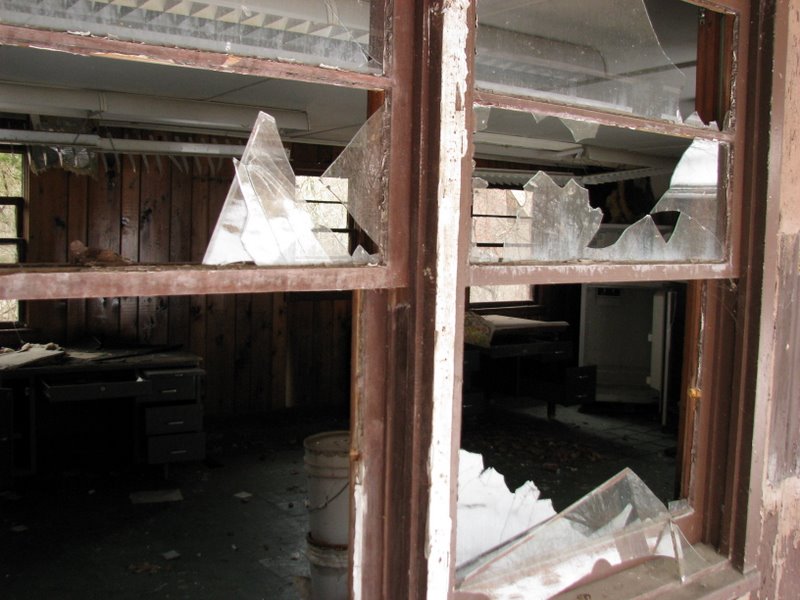
 Desk and refrigerator |
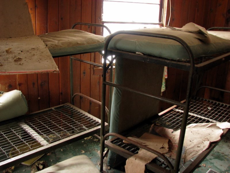 Bunk beds |
 |
 |
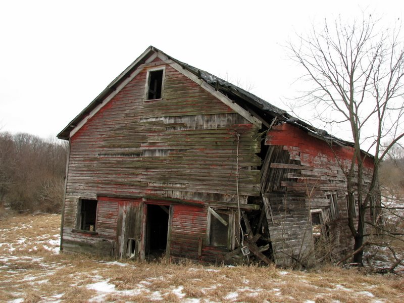 Dilapidated barn |
 |
 |
 |
 |
 |
 Outside Thunder Mountain Educational Center |
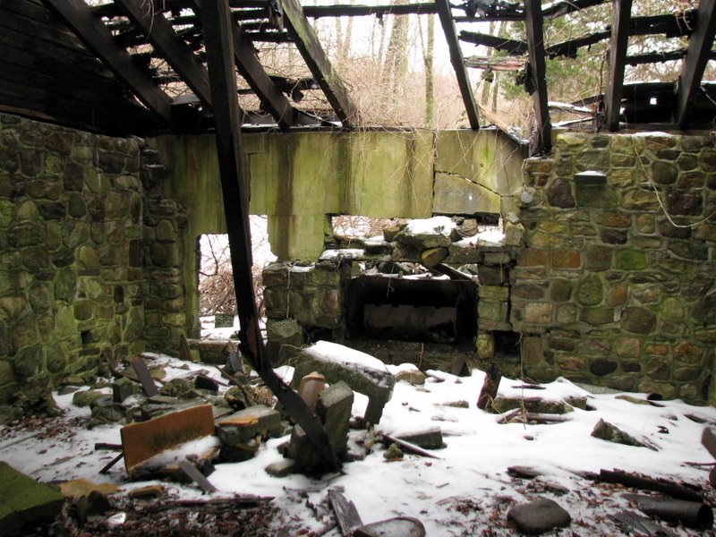 Fireplace of another abandoned building |
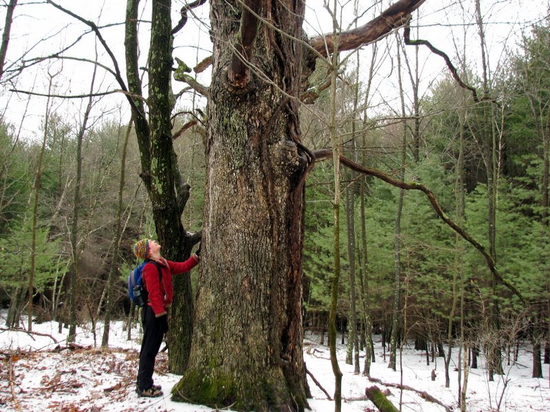
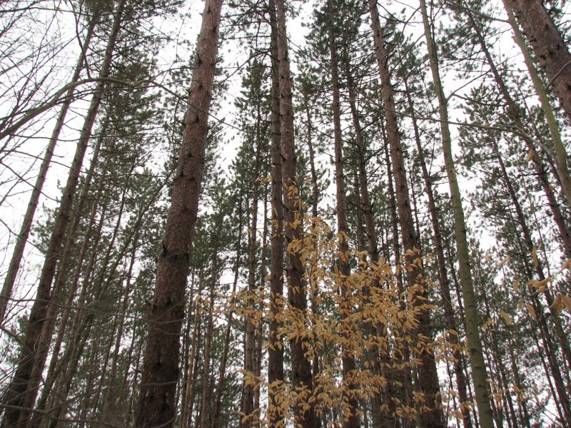 Magestic pines |
 Beaver lodge in the lake |
 |
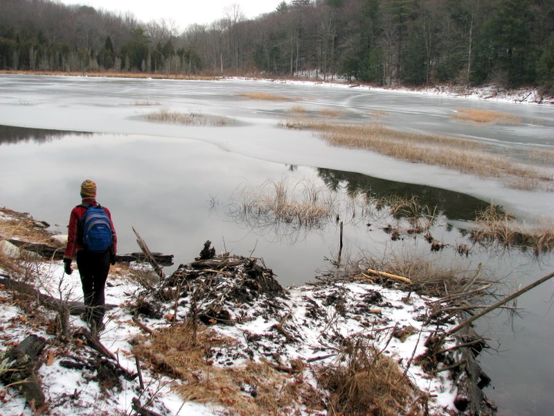 Lunch spot near beaver lodge |
 |
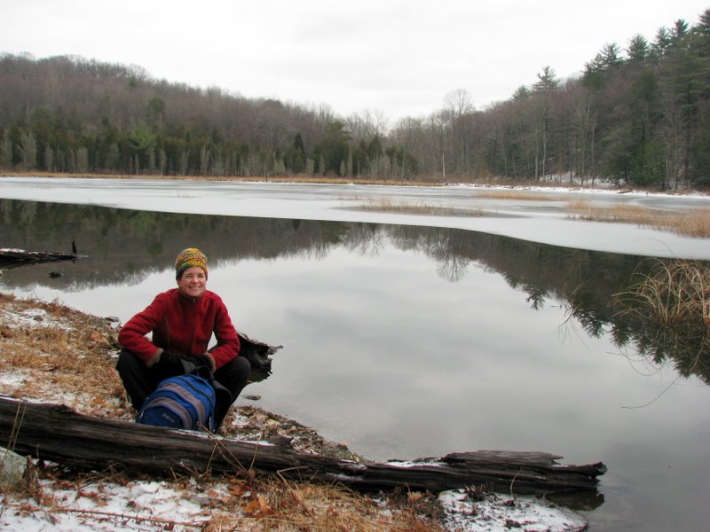 Time to eat! |
 |
 |
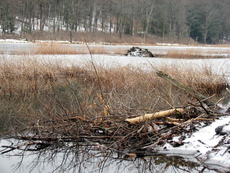 The beavers were asleep |
 |
 Abandoned wall off Military Road trail |
 |
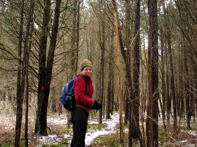
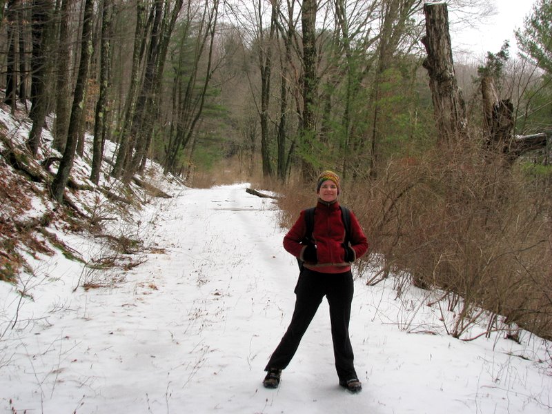 Laura on Military Road trail |
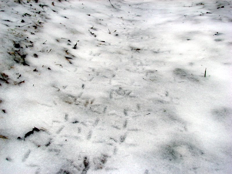 Interesting prints |
 |
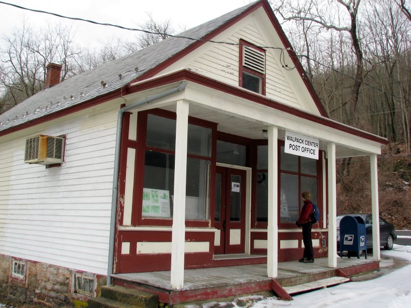 The "Post Office" |
 |
 |
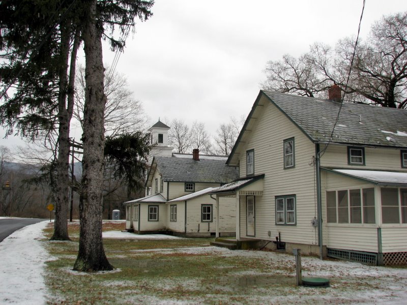 Main Street looking east |
 |
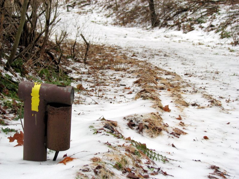
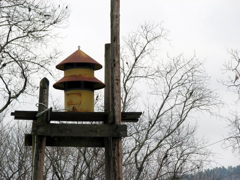 Fire whistle |
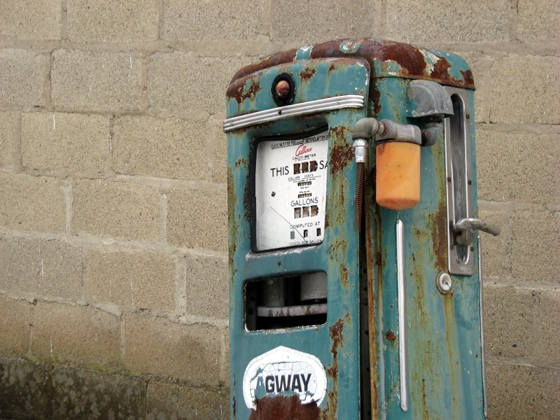 Old gas pump |
 Main Street looking west |

|
|
Photographs and content copyright © Dan Balogh Web design by Dan Balogh |