 |
|
We have hiked in Norvin Green for years. In fact, some of our earliest hikes were here. And yet we never started a hike at the southern trailhead of the Wyanokie
Crest trail. So today we headed to that area and hiked a lollipop of sorts (with the stick in the middle of the hike) along the perimeter of Mount Warner.
Armed with the PDF version of the NYNJTC Map #115 (North Jersey Trails) in my iPhone we parked at the southern of two parking pulloffs on Glenwild Avenue and headed into the forest. But instead of following the yellow trail we took a series of woods roads towards Wanaque Reservoir. My plan was to head to the banks of the reservoir at Green Swamp Dam. There are no indications of the map that this area is restricted (the map makers are quite good at putting the Do Not Enter icon on the map at points where entrance is not allowed) but when we got near the dam, after crossing over the white-blazed Posts Brook trail we began encountering No Trespassing signs. So we instead headed SE on the white trail taking it as far as we could until reaching the paved Doty Road. At this point we turned around and headed back (there are no views of the reservoir from anywhere along this stretch, though I did manage to snap a photo of the huge sand bank behind the dam with surveillance cameras atop a dam tower). We took white all the way back to the blue Hewitt-Butler trail, passing the totally dry Chikahoki Falls on the way. We continued heading west on the HB toward Otter Hole but then turned left and headed on a woods road south, joining the yellow trail which we took back to the car. Page 2 of this brochure from the NYNJTC (which is also available at the kiosk at the parking area), contains all of the trails and woods roads we took today. Total distance hiked today was 5.3 miles in just under 3.5 hours.
|
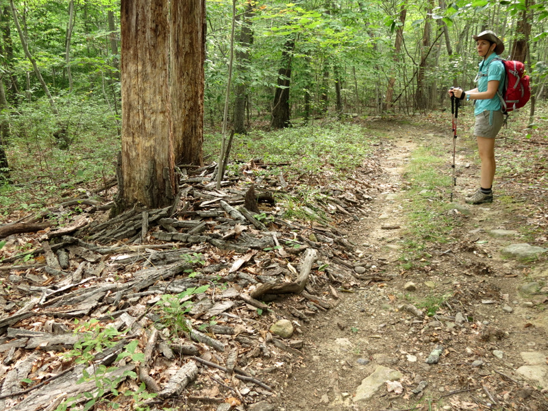
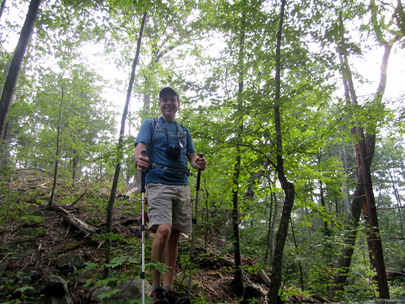
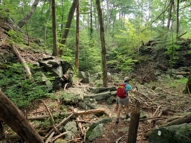
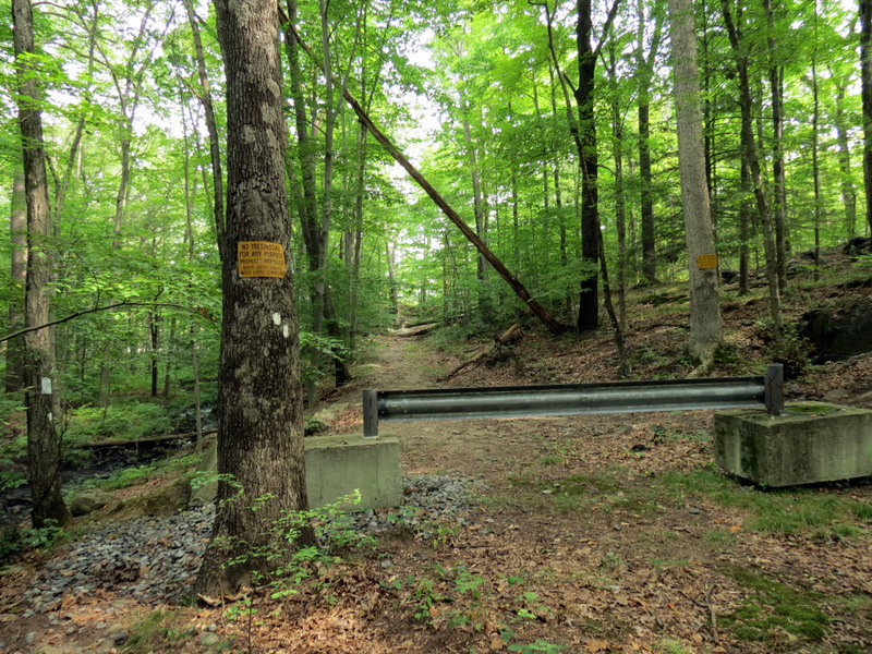
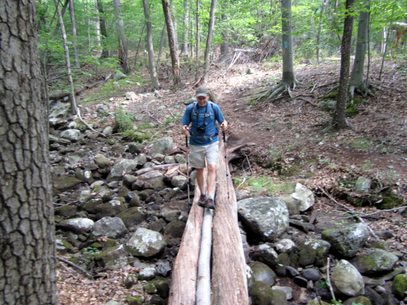
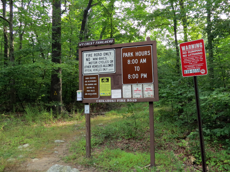 Wyanokie Crest trailhead |
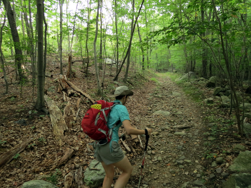 Woods road east |
 [photo by Laura] |
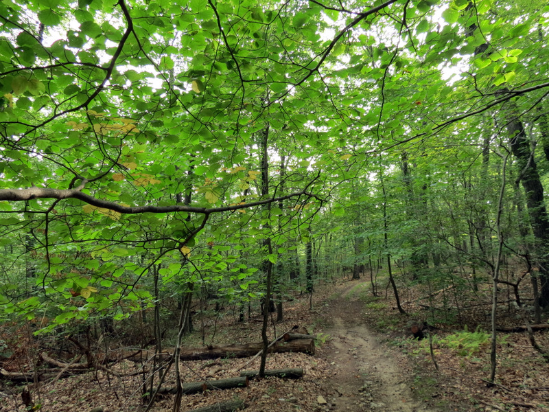
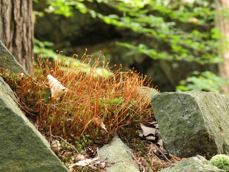
 Saplings |
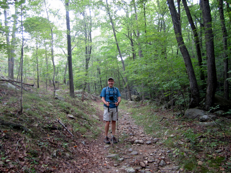
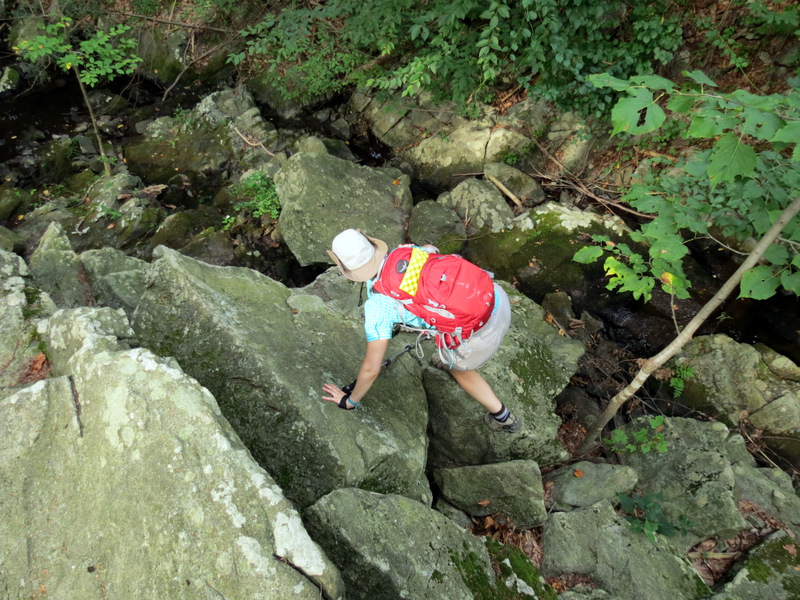
 Climbing |
 |
 |
 Fallen bark |
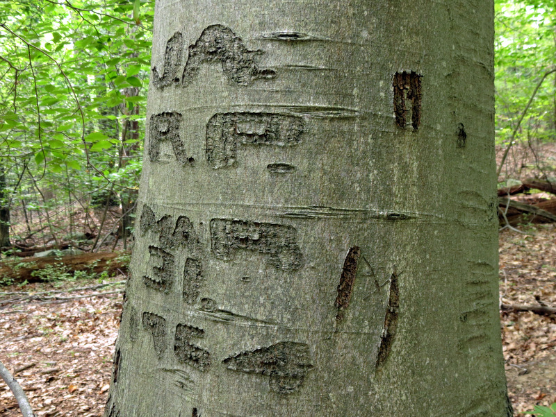 Graffiti from 1964 |
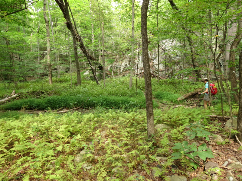
 Ferns |
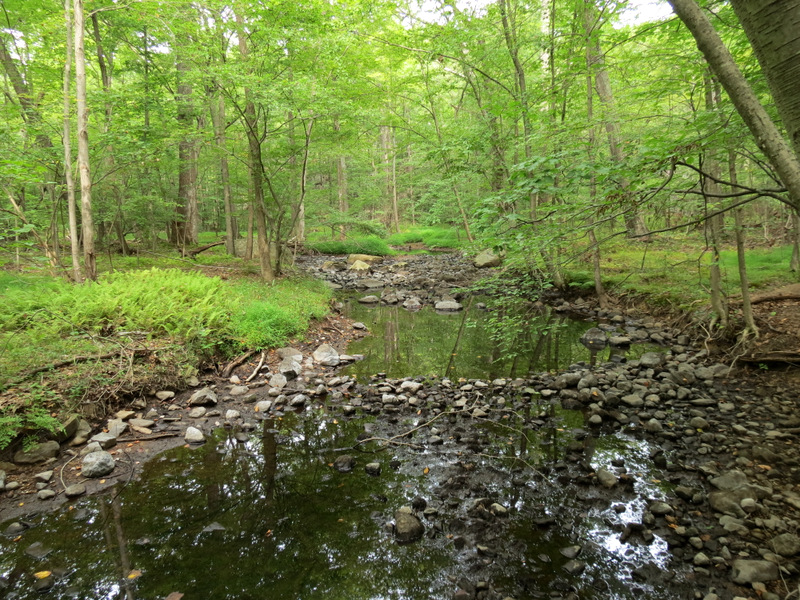
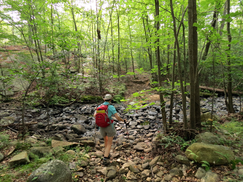 Dry creek bed |
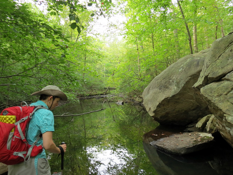
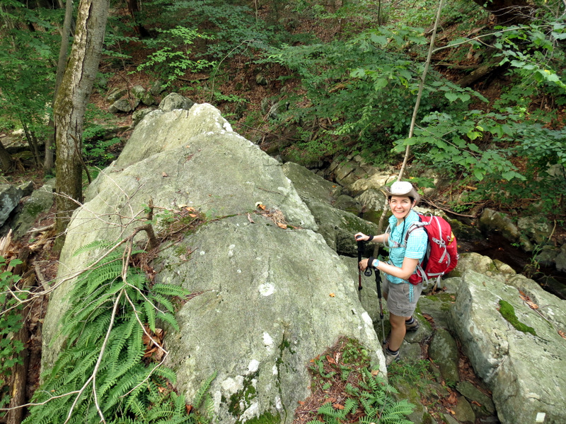
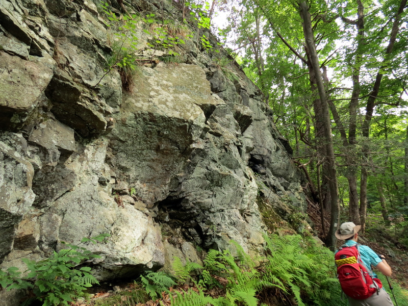
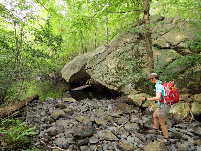 Huge boulder |
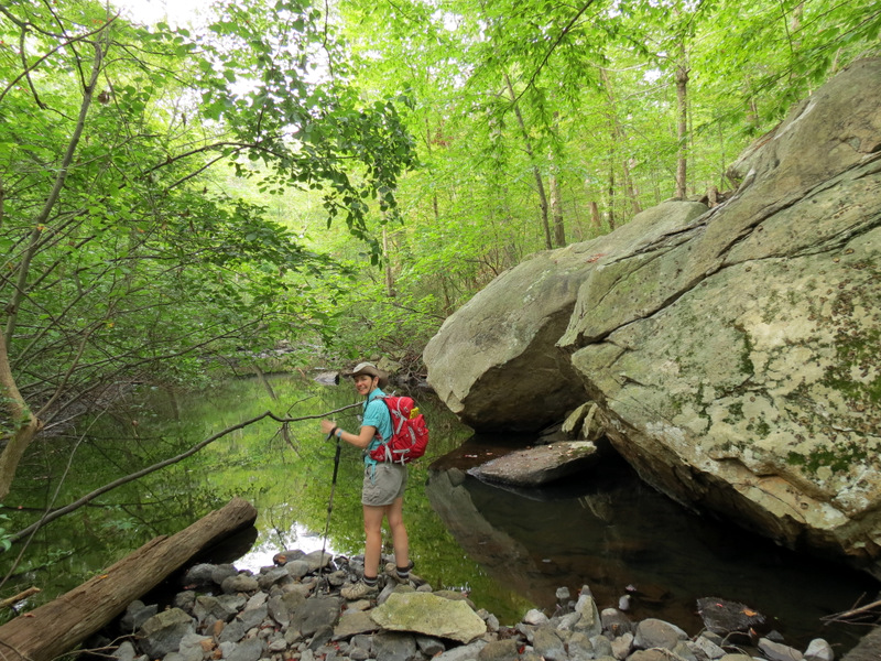
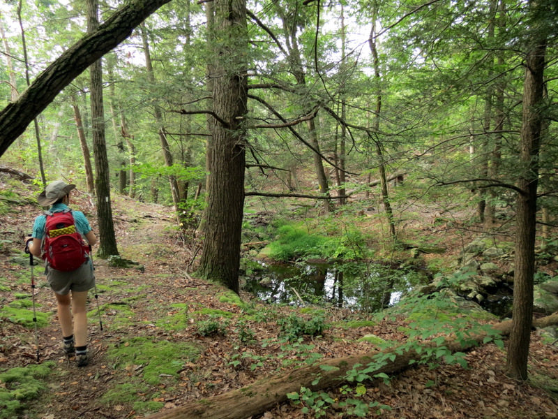
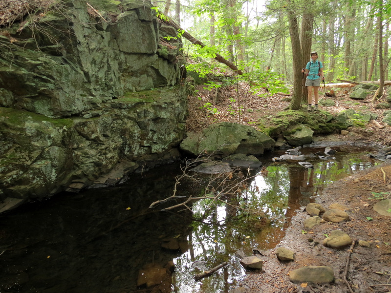
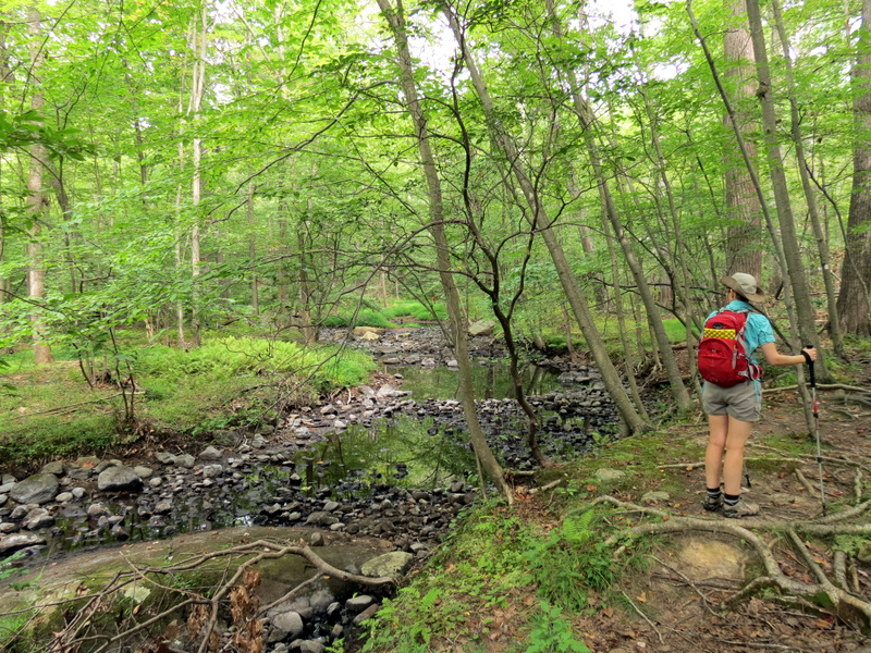
 Small pond |
 |
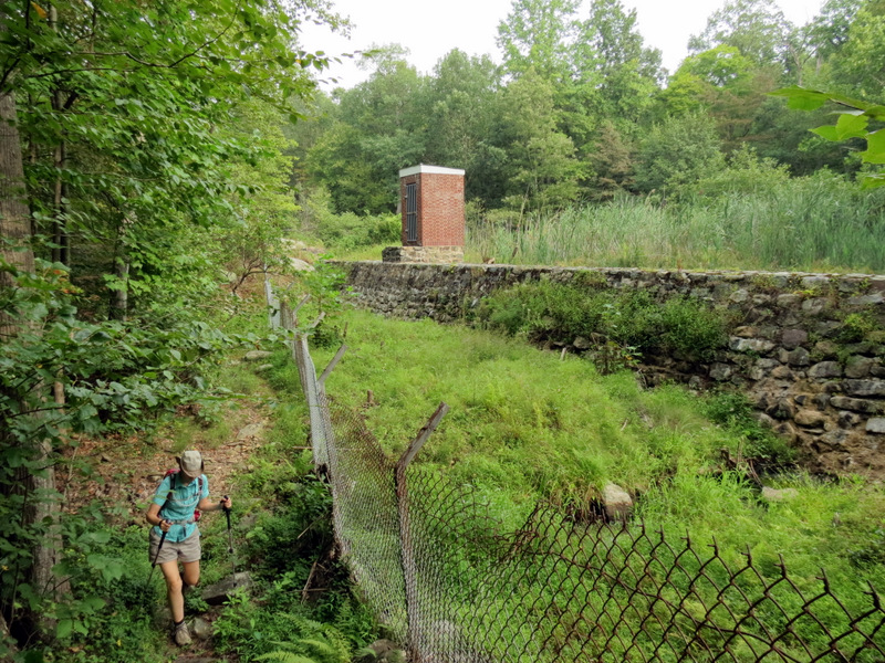
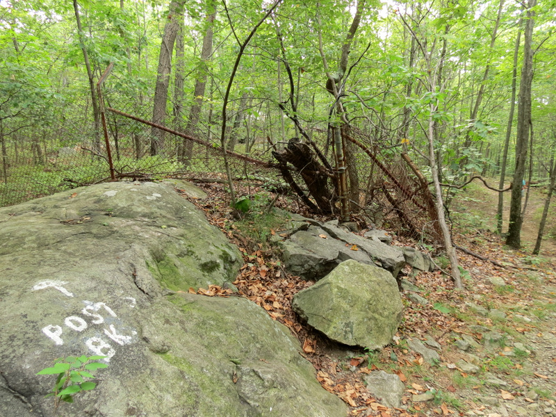 Old fence |
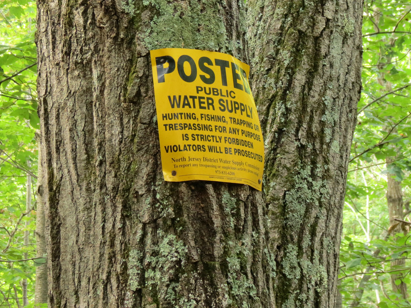 No Trespassing signs begin |
 View towards reservoir tributary |
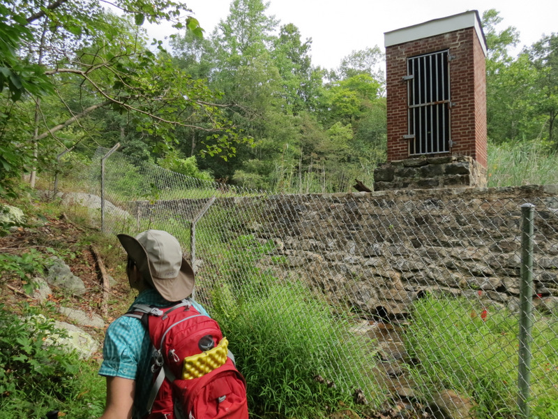
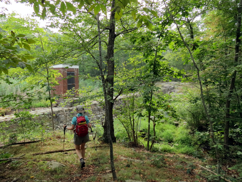 Small watershed building |
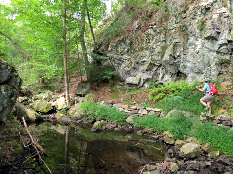
 On white trail |
 Tiny toad |
 Ouch |
 Heading east on White |
 BB gun practice |
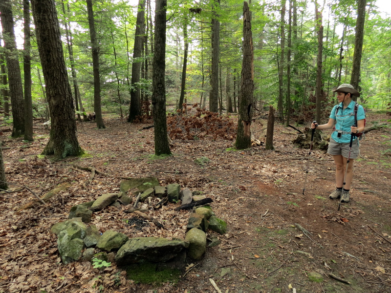 Fire ring |
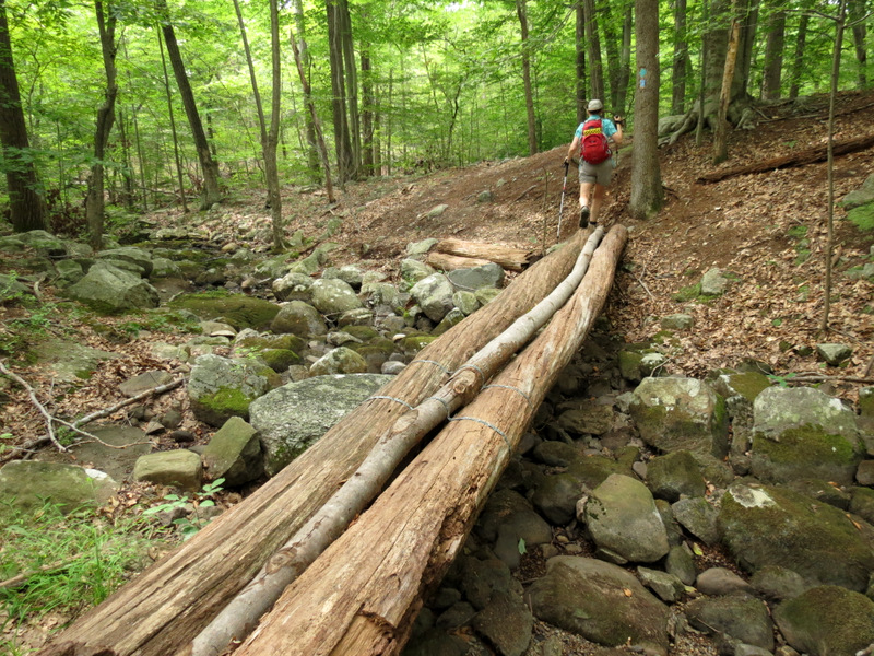
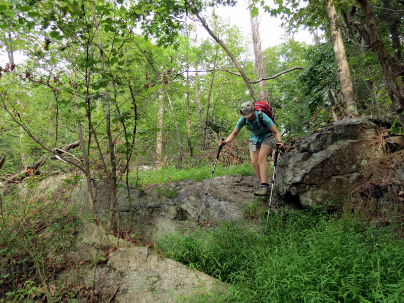 Nice rocking ... |
 ... hopping ... |
 ... on White ... |
 ... trail |
 [photo by Laura] |
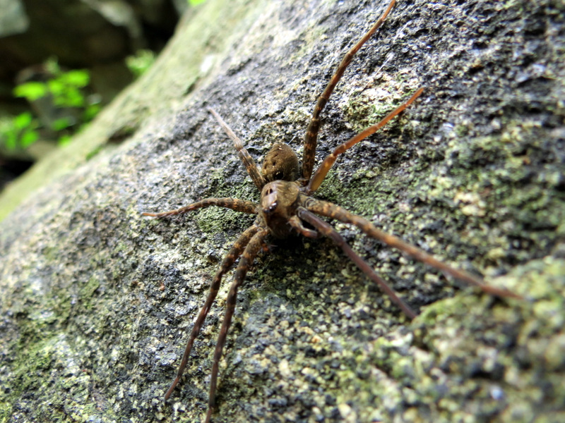 Large spider |
 |
 |
 Beautiful spot |
 |
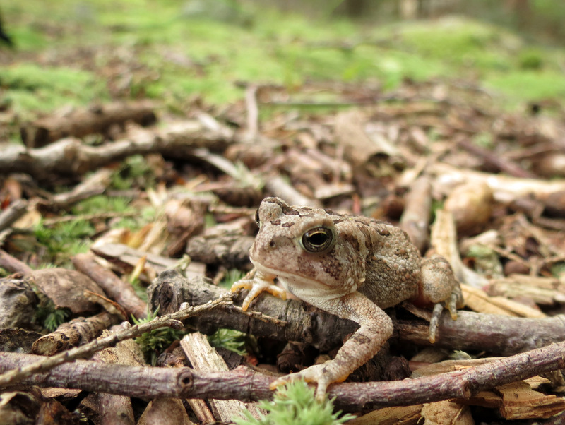
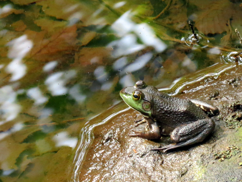 Frog |
 Abandoned wall |
 |
 Woods road crossing |
 Gate on reservoir road |
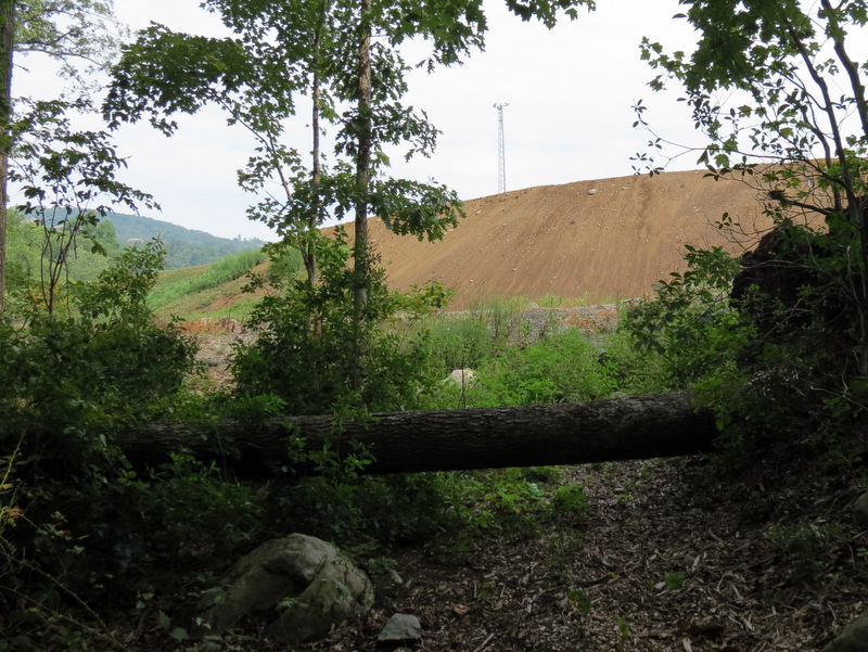 Dirt mound at Green Swamp Dam |
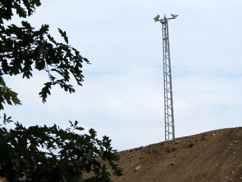 Reservoir surveillance cameras |
 |
 Brave deer |
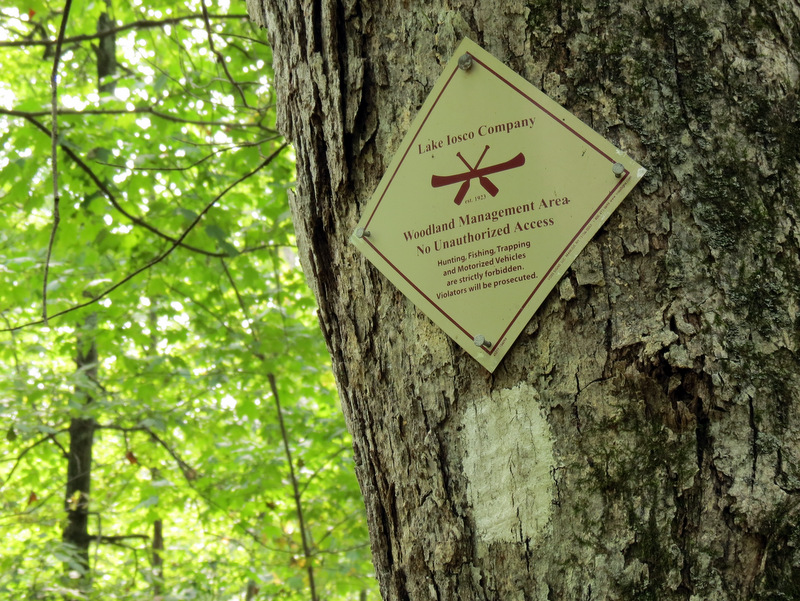 Lake Iosco property? |
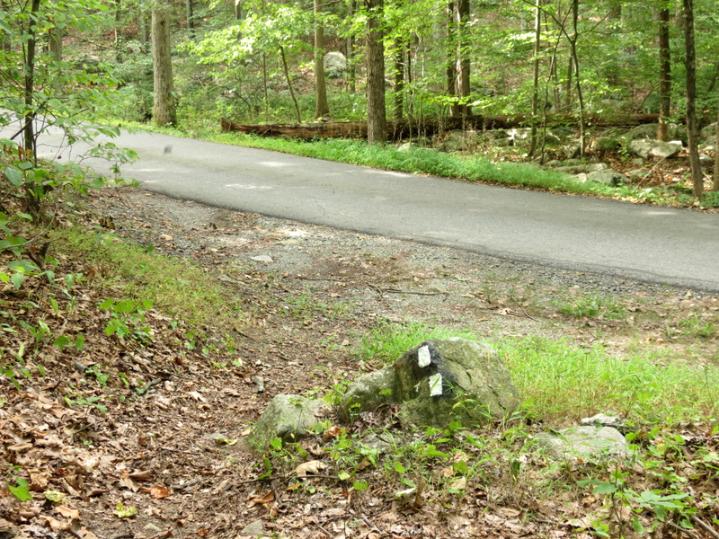 Doty Road |
 Gate to reservoir |
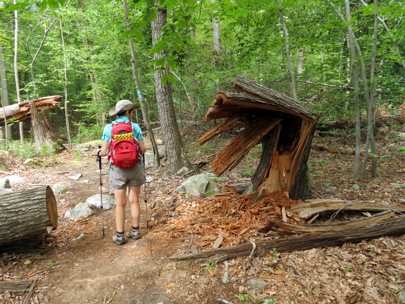
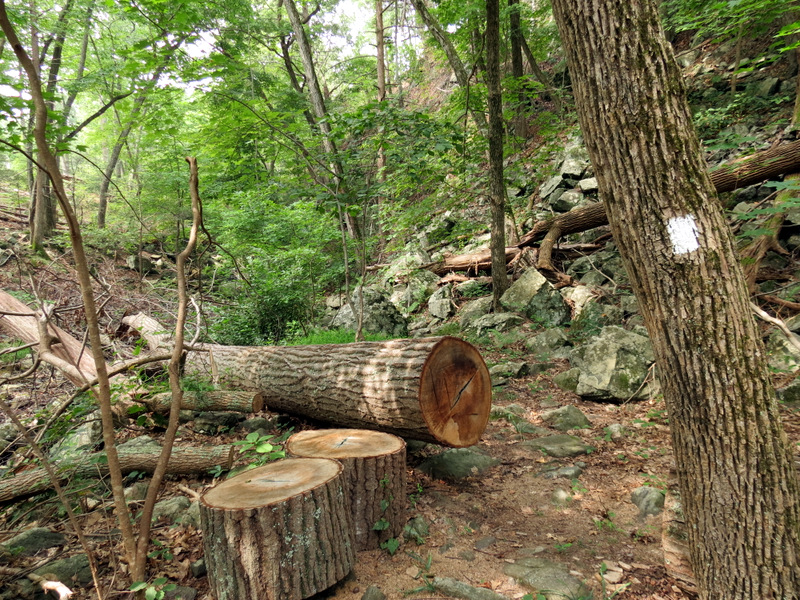 Chopped tree |
 Heading back on White |
 |
 |
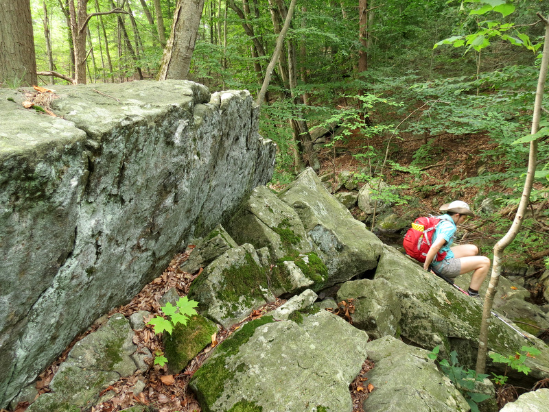
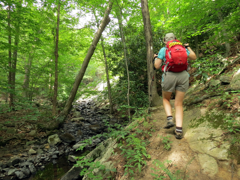
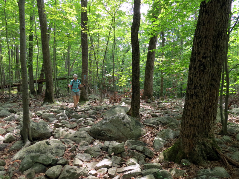
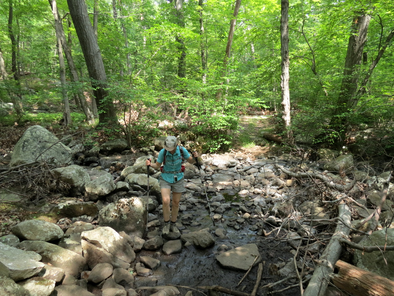
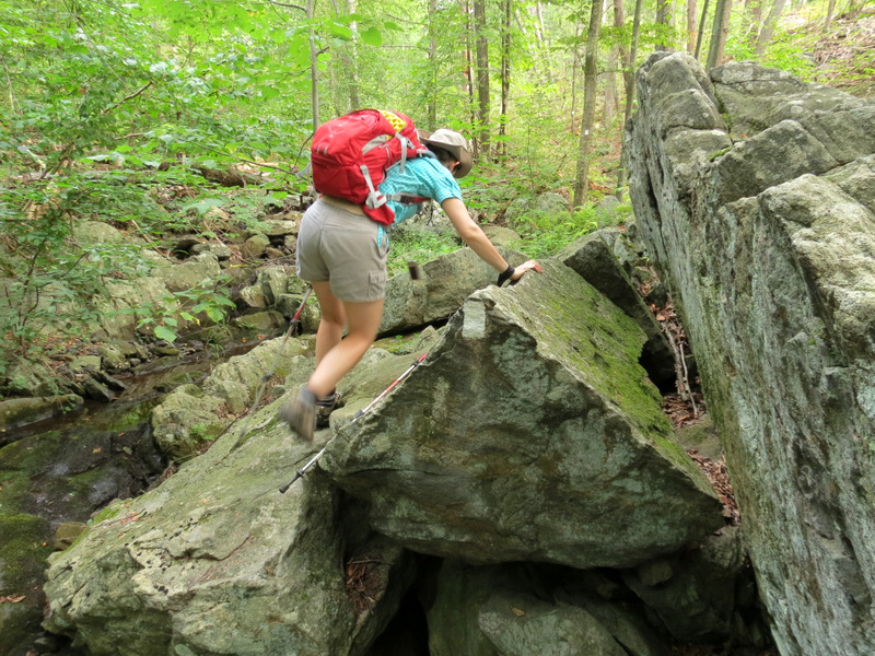 Rock scrambling |
 |
 |
 Watershed shack |
 Dry creek |
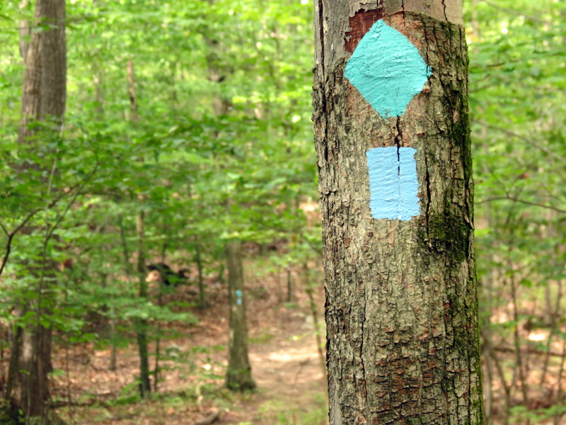
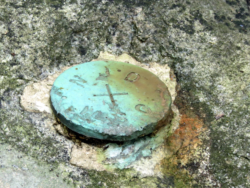 Marker |
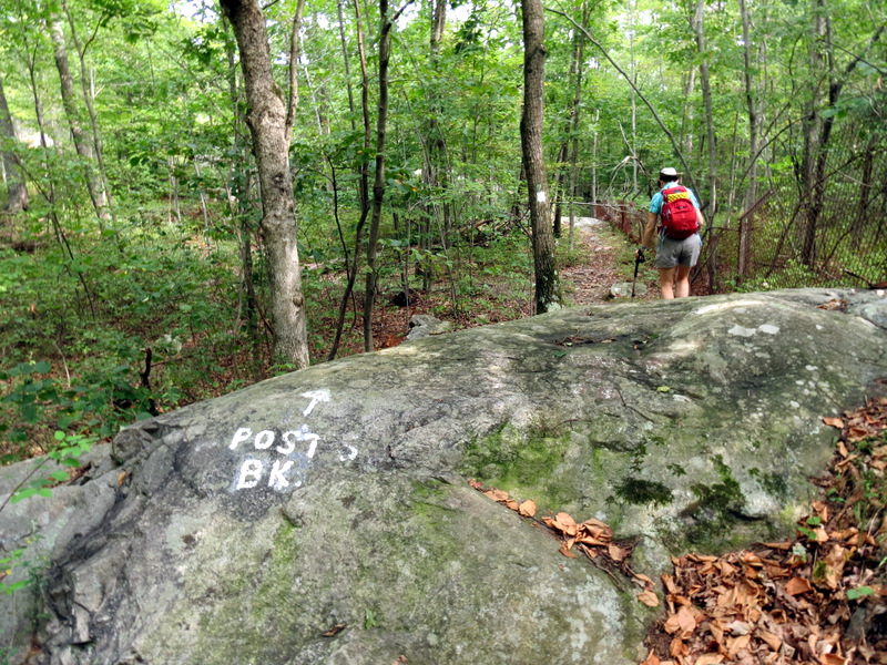 Continuing on White |
 Intersection |
 Dry creek |
 |
 Ferns |
 |
 |
 Approaching Chikohoki Falls |
 The falls fell! |
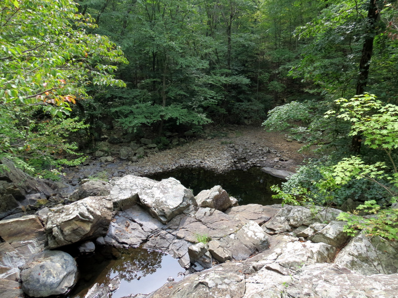 View from atop |
 Snapped tree |
 Dry creek crossing |
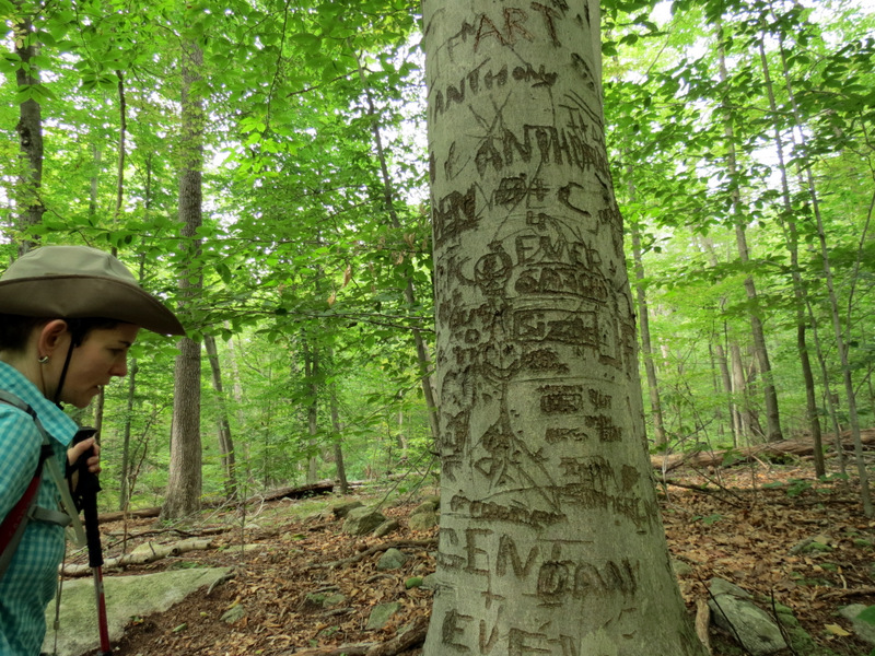 Graffiti |
 [photo by Laura] |
 On on Blue HW |
 |
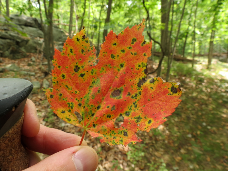 Colorful leaf |
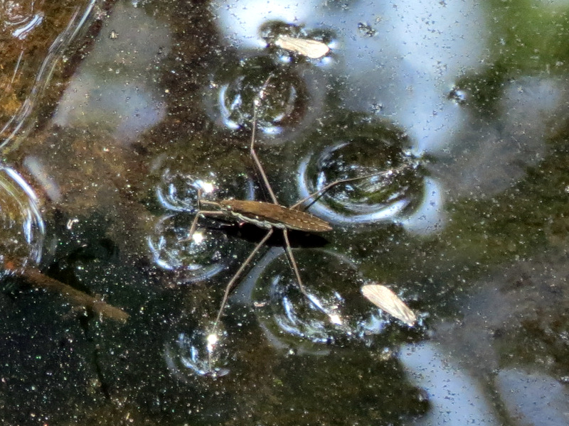 Water bug |
 |
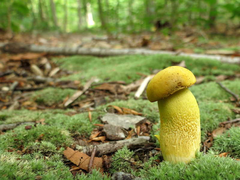 Tiny mushroom |

|
|
Photographs and content copyright © Dan Balogh Web design by Dan Balogh |