 |
|
What a pleasant surprise this Wildlife Management Area was! But unless you have a good map (like the NYNJTC Jersey Highlands Trails Central North Region Trail Map 126),
and in addition a GPS device (like an iPhone loaded with the MotionX-GPS app), you may have some difficulty. As is typical in WMAs, none of the trails are blazed, even
though they're in terrific shape. This was the first time we ever hiked in this rugged area, just north of the Sussex-Morris Country boundary. We visited two named lakes,
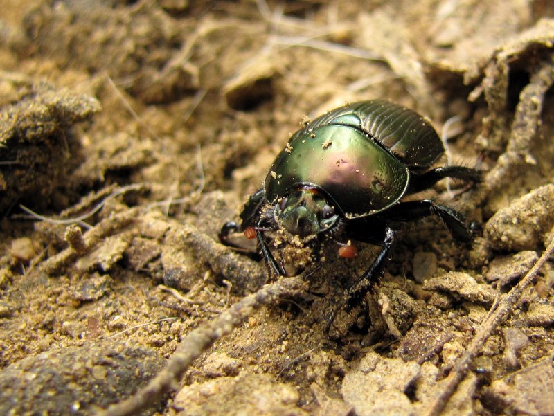
one unnamed (at least on the map), saw some interesting ruins, lots of boundary walls, explorartory pits, lots of unusual insects (like a dung beetle!) and lovely
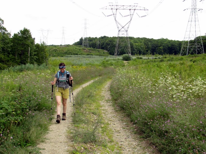
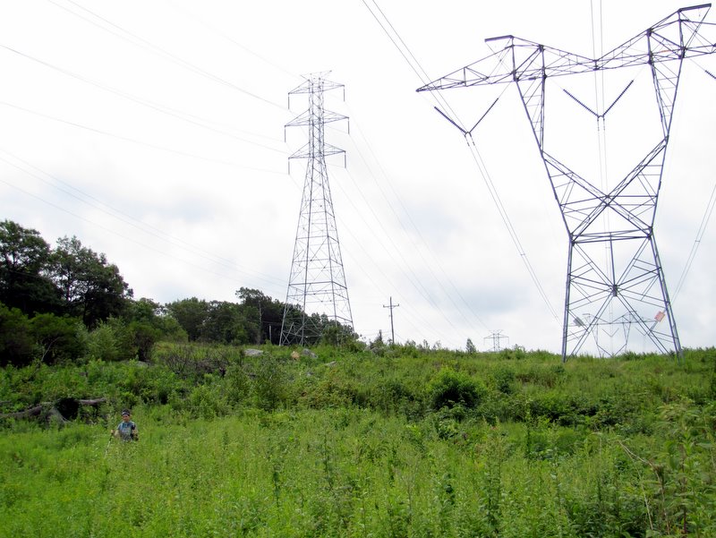
wildflowers in a powerline cut, among other delights.
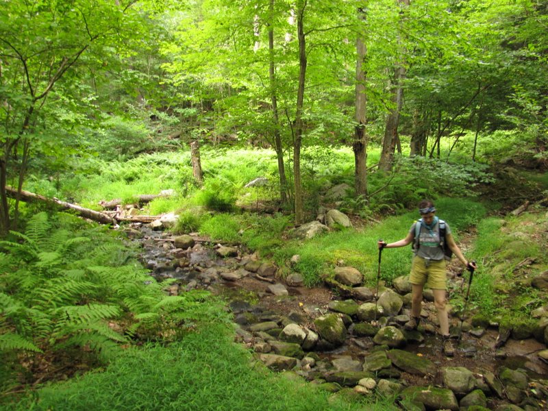
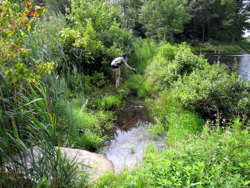
We parked just off Route 15, on Blue Heron Road, across the street from a small office complex and headed east through the gate, bypassing the trails to Blue Heron Lake (saving that lake for lunch) and eventually headed north to Arapaho Lake. We took another trail back south, passing through two relatively large (unnamed) bodies of water in the eastern section of the WMA. This crossing was alot of fun because of the flooding. Had we not had trekking poles, which came in quite handy while balancing on the few felled trees across the water, it would have been very tricky. We continued south in the powerline cut until reaching a large communications tower where we headed NW. Eventually we got back to the stick of the lollipop, where we headed back west towards the car, but not without first visiting the lovely Blue Heron Lake where we had lunch, and where I saw lucky enough to actually see a blue heron flying away across the lake from where we ate. Total distance hiked today was 6.7 miles in 4 hours, in the shape of a lollipop.
|
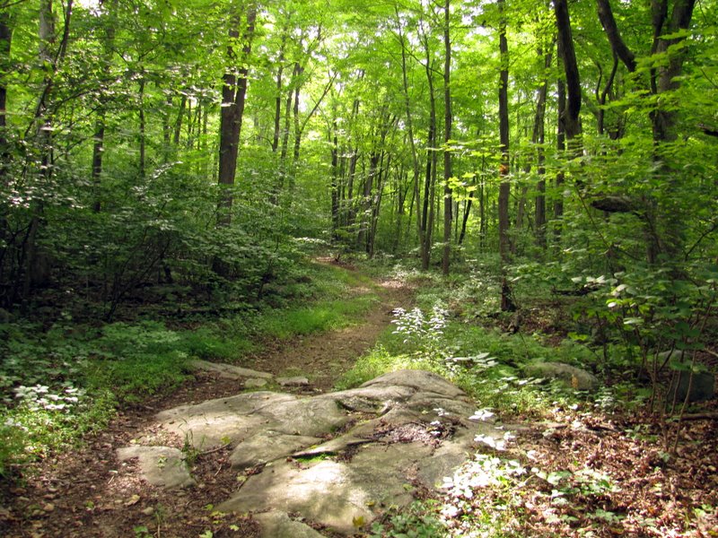
 Heading east from the gate |
 Ruins less than 10 minutes in |
 |
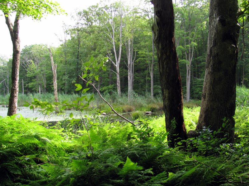 Swamp |
 |
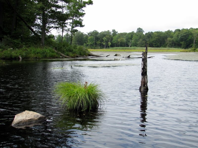
 View north |
 Crossing on logs |
 Beaver activity |
 Now heading north ... |
 ... along sturday ... |
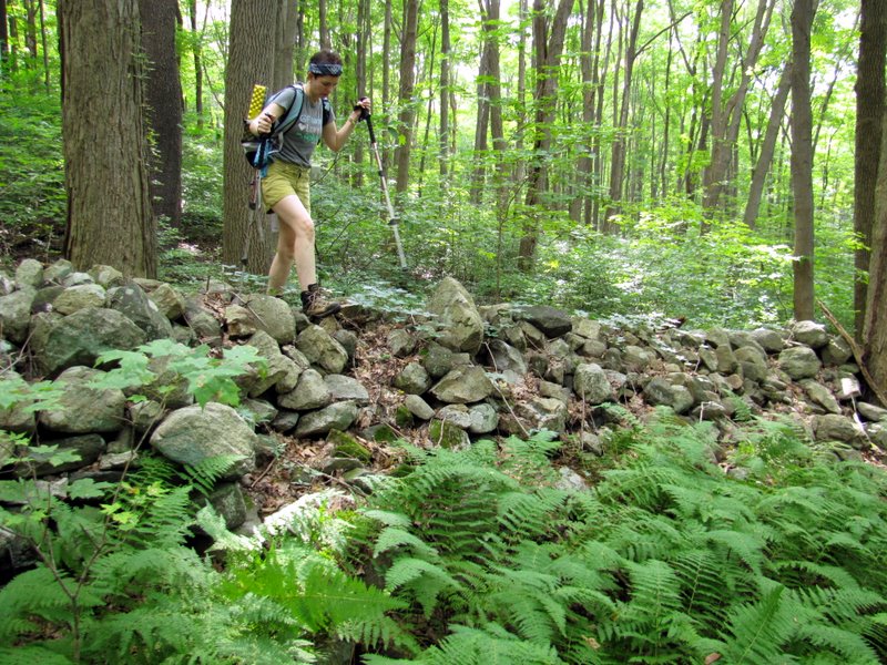
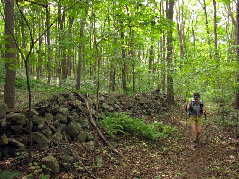 ... boundary walls |
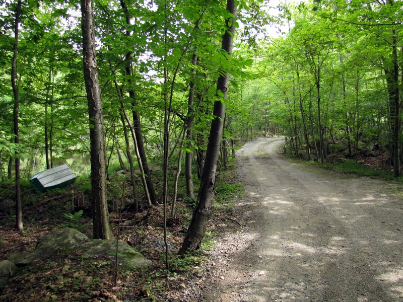 Arapaho Trail Road |
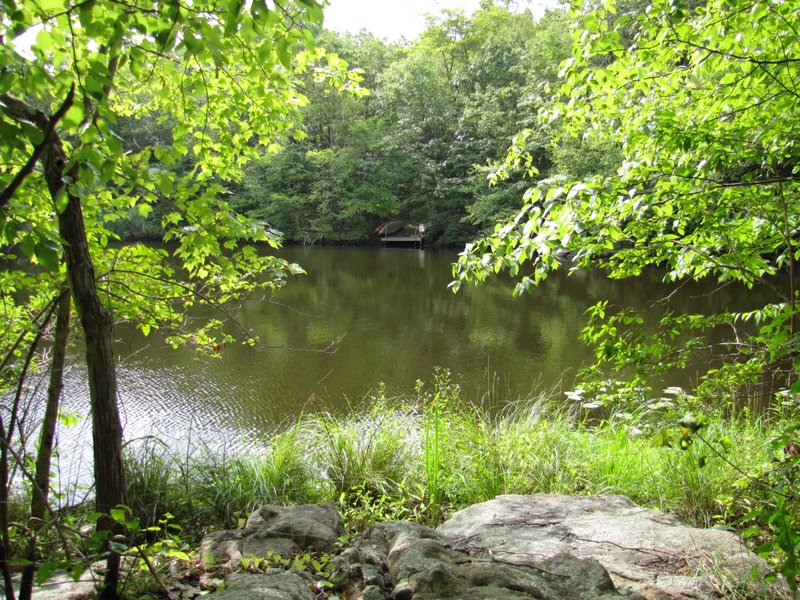
 Boat at Lake Arapaho |
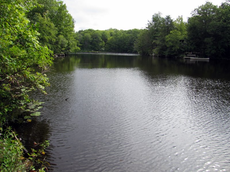
 Various views ... |
 ... of Lake Arapaho |
 [Photo by Laura] |
 Lake Arapaho |
 Lady of the lake |
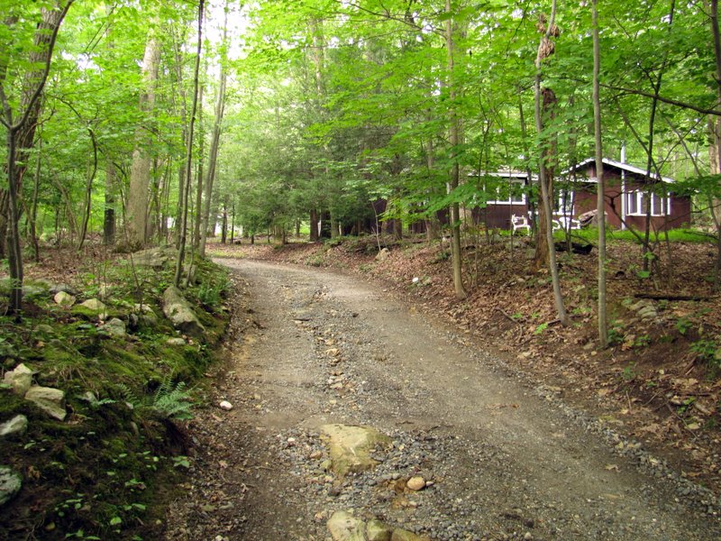 House on Arapaho Trail Road |
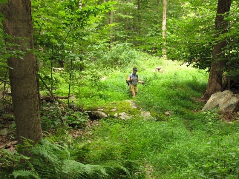 A grassy start of next trail |
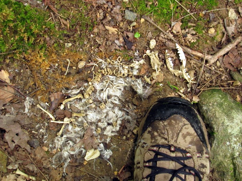 Skeletal and fur remains |
 |
 Mostly dry stream crossing |
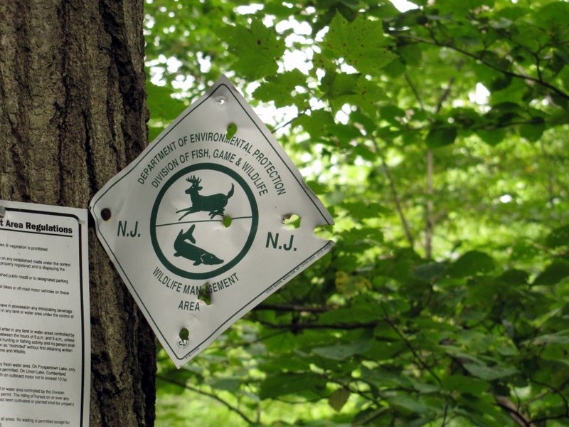 Shot-up WMA sign |
 Tangled rhododendron thicket |
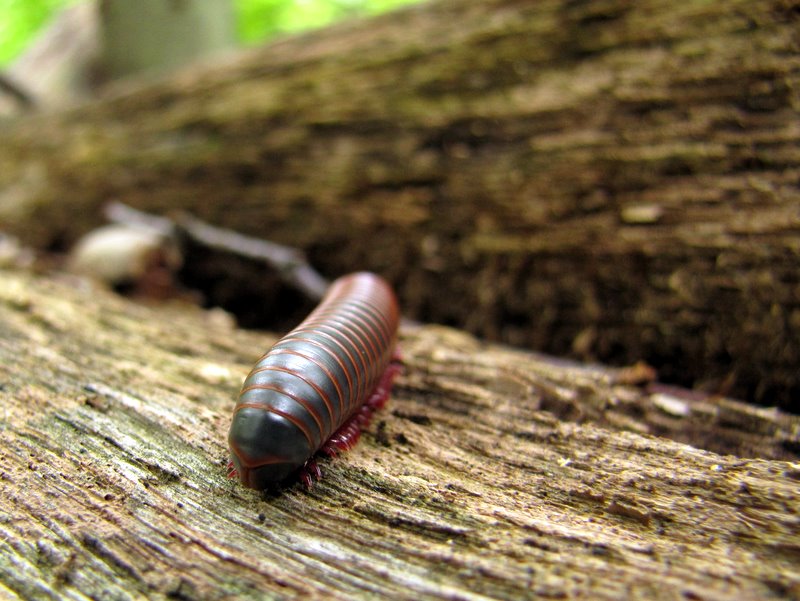 Millipede |
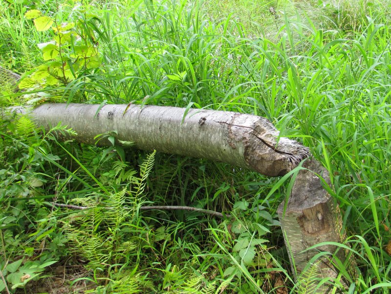
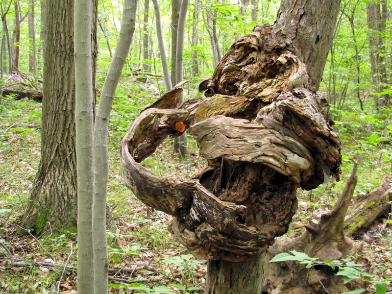 Interesting tree! |
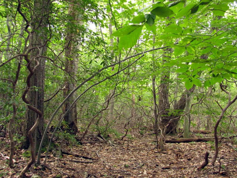
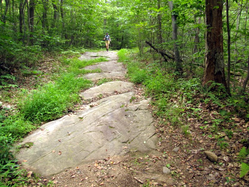
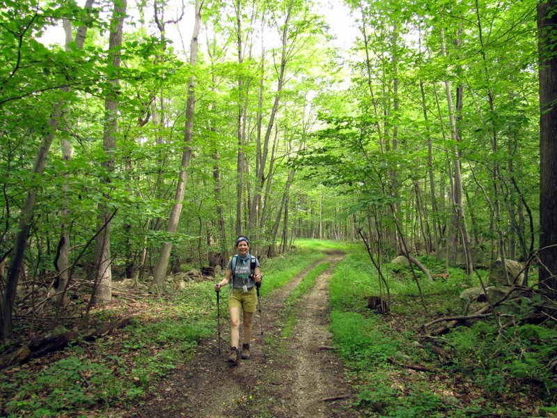 Path is a woods road here |
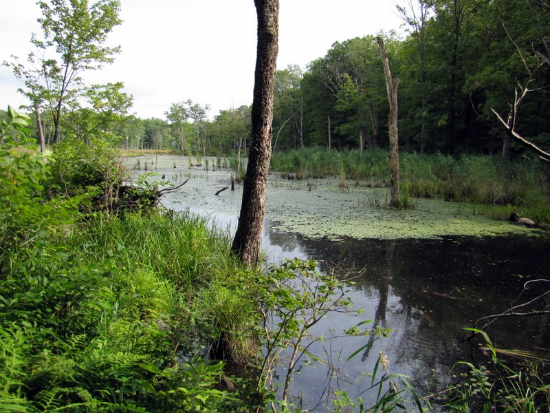
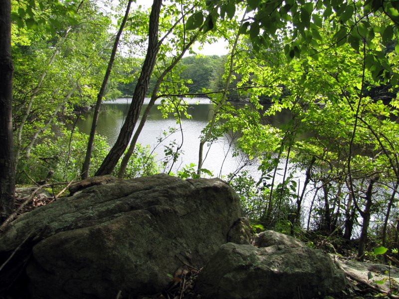
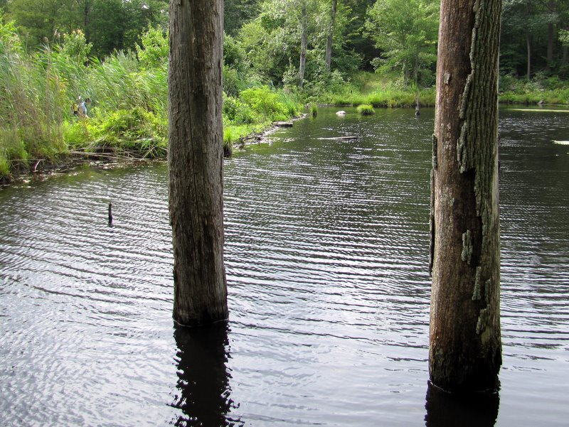
 Unnamed lake |
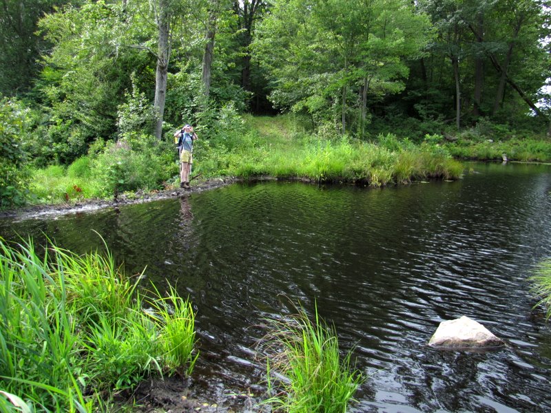
 Laura crossing at left |
 |
 Crossing on felled trees |
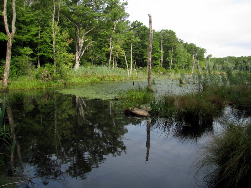
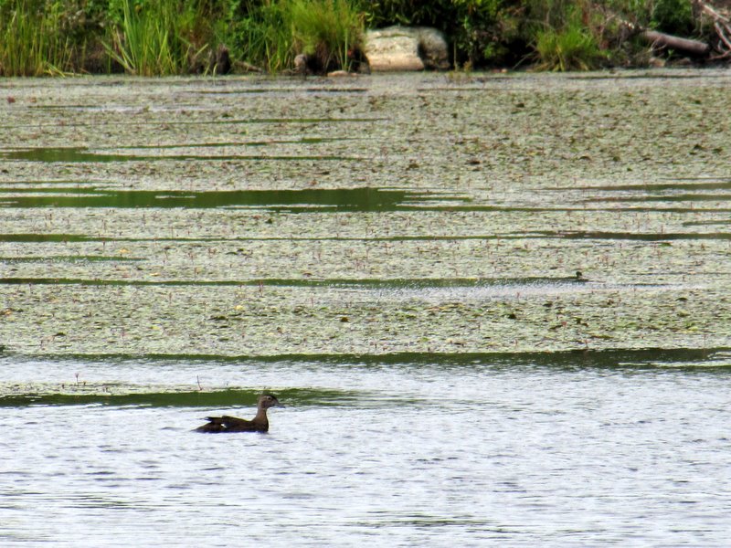
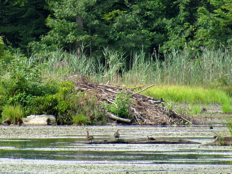 Beaver lodge, ducks, a turtle! |
 Busy bees at lake |
 View NW |
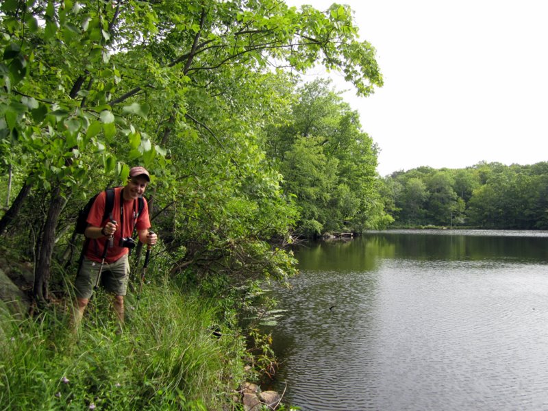
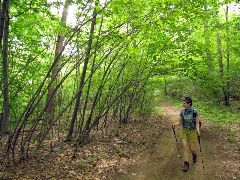
 Laura on narrow path |
 My turn [photo by Laura] |
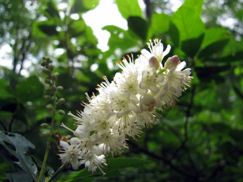
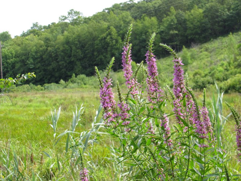 Wildflowers |
 Cormorant |
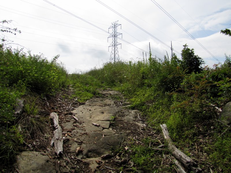 Climbing to ... |
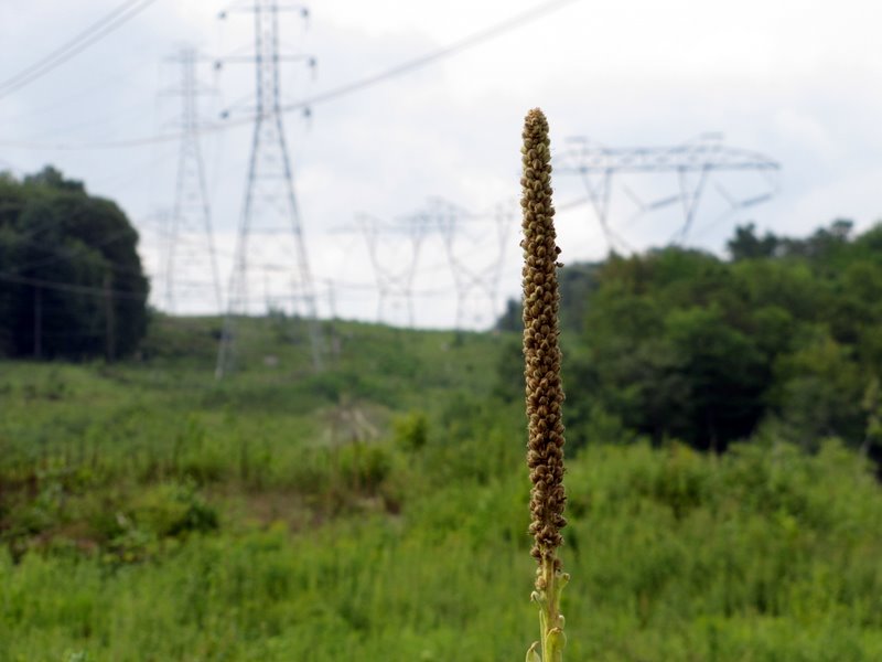
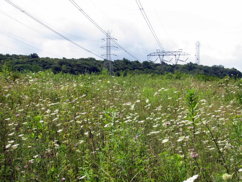 ... the flowery powerline cut |
 View SW |
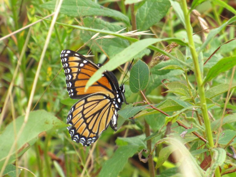 Monarch butterfly |
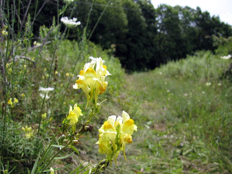 Wildflowers in path |
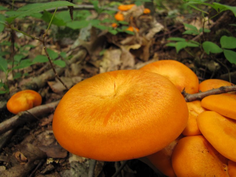 Bright orange mushrooms |
 |
 Bear tracks in mud |
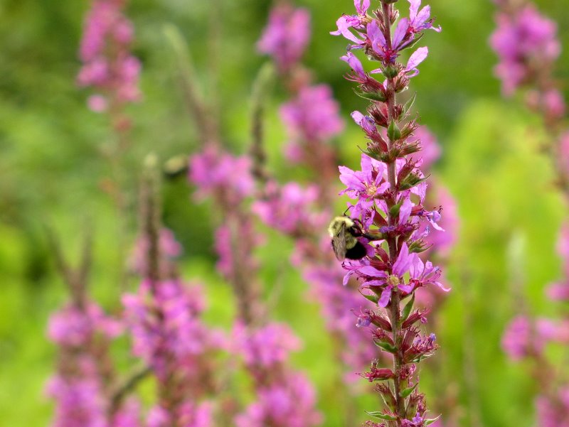 Another busy bee |
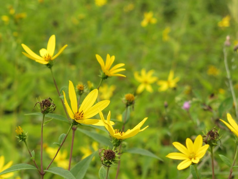 More gorgeous color |
 Looking north |
 View south ... |
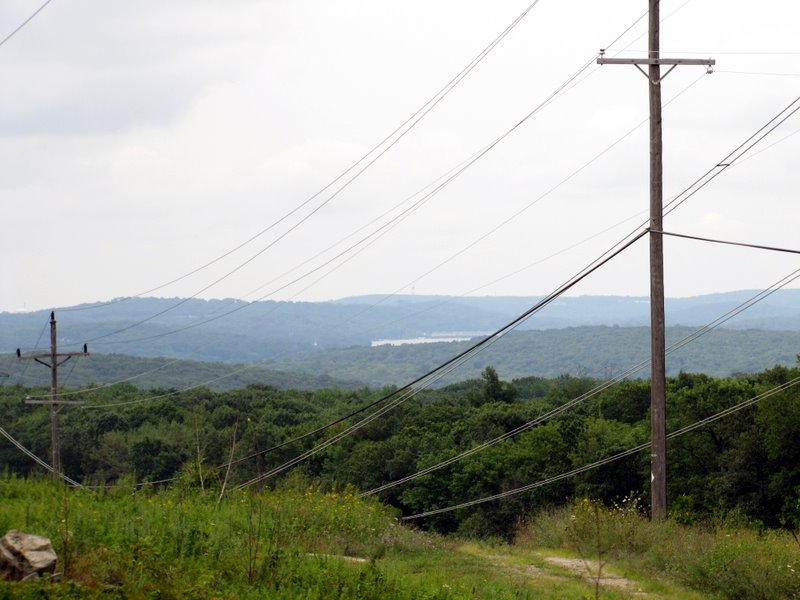 ... to Lake Hopatcong |
 |
 |
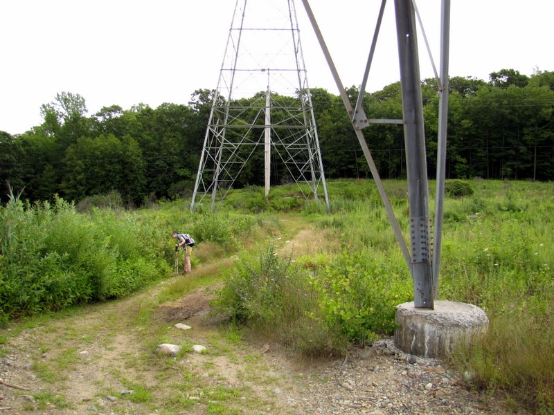
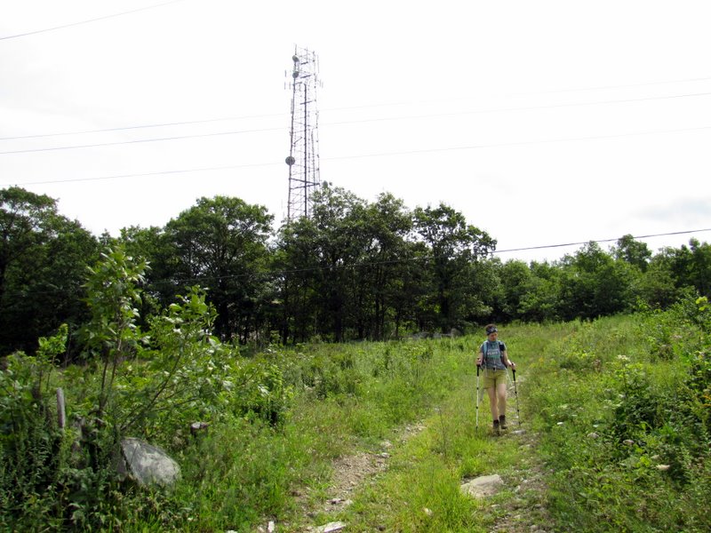 Commnications tower |
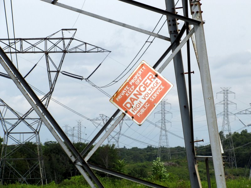 Danger indeed |
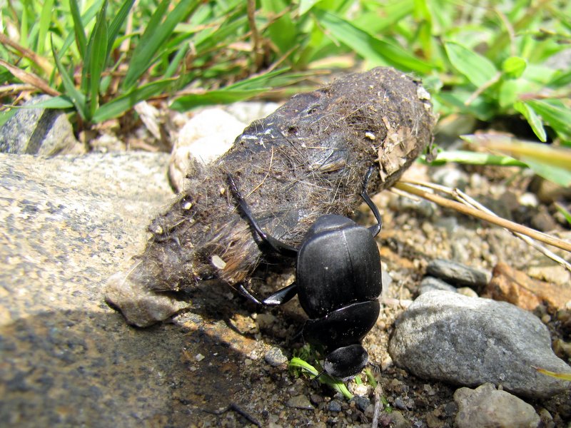 A hard-working dung beetle! |
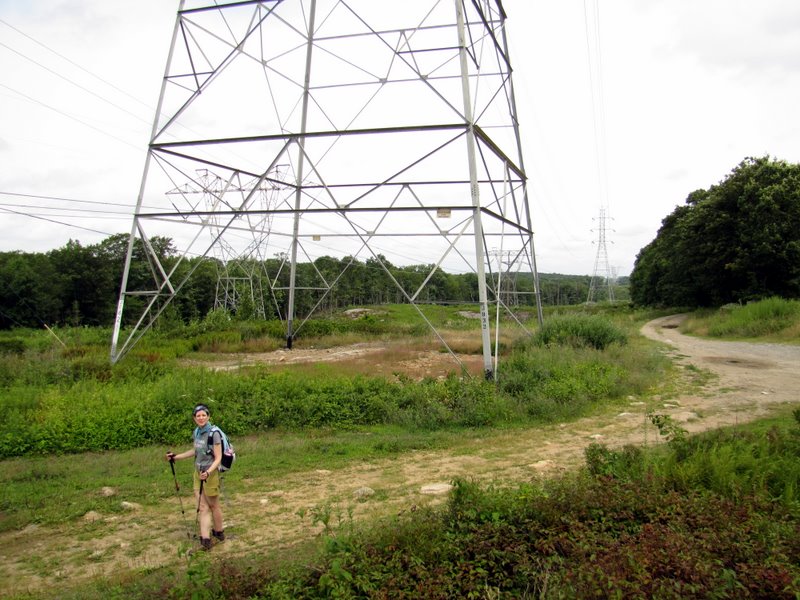
 Laura dwarfed |
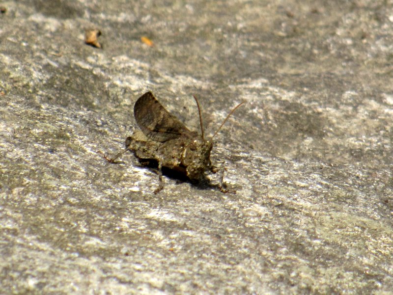 Curious locust |
 Fragrant honeysuckle |
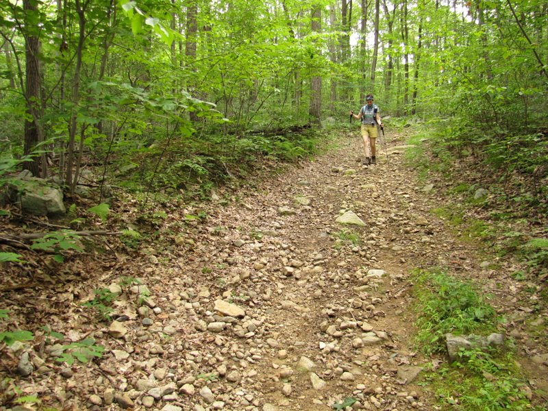 Rocky path |
 Another awesome beetle |
 Saplings |
 |
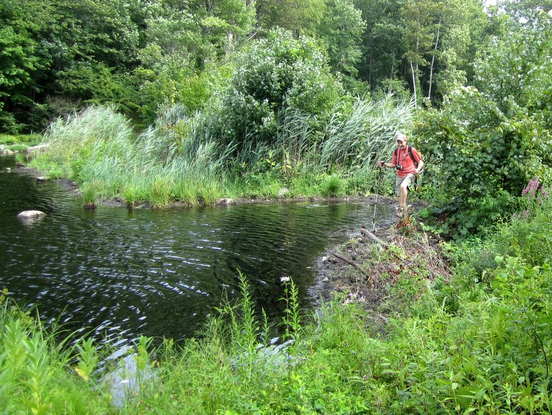
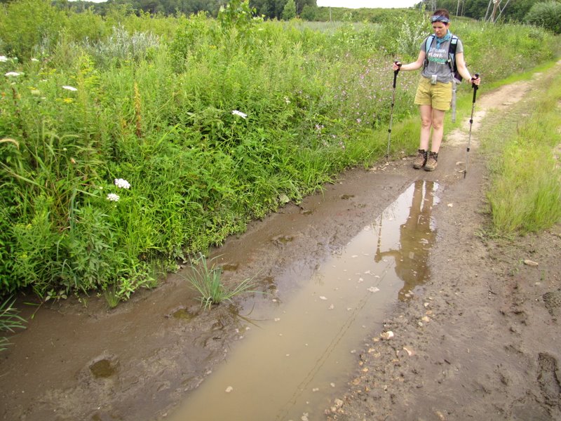
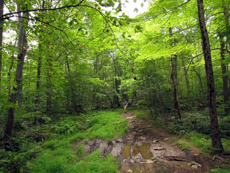 Muddy section |
 |
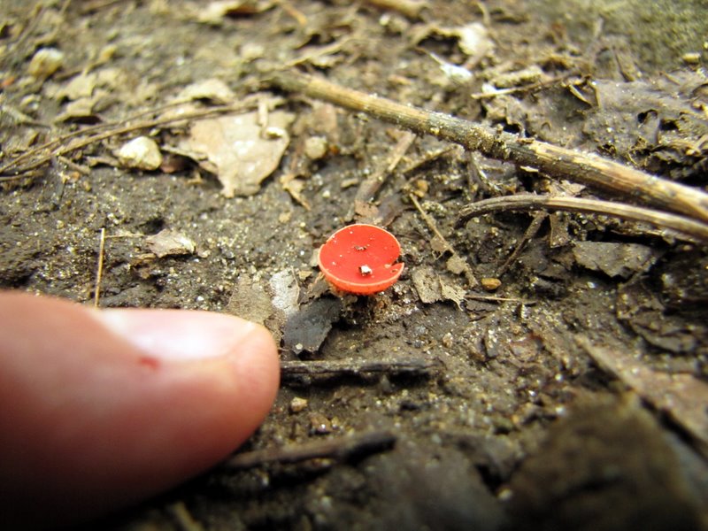 Very tiny mushroom |
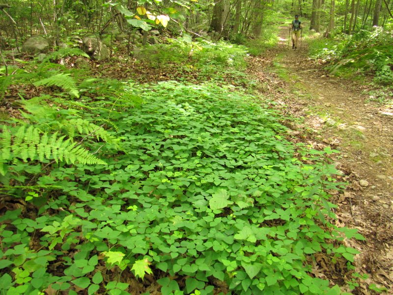 Lots of green |
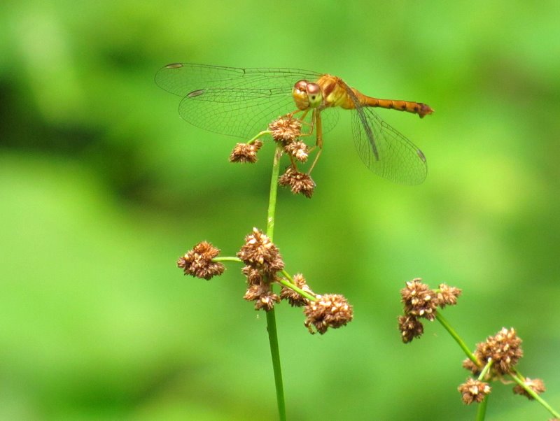 Dragonfly |
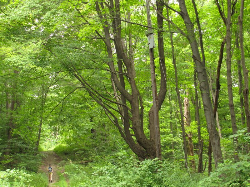 Old utility pole |
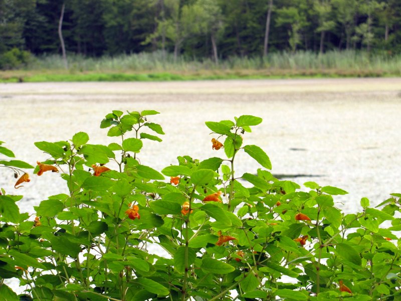 Flowers ... |
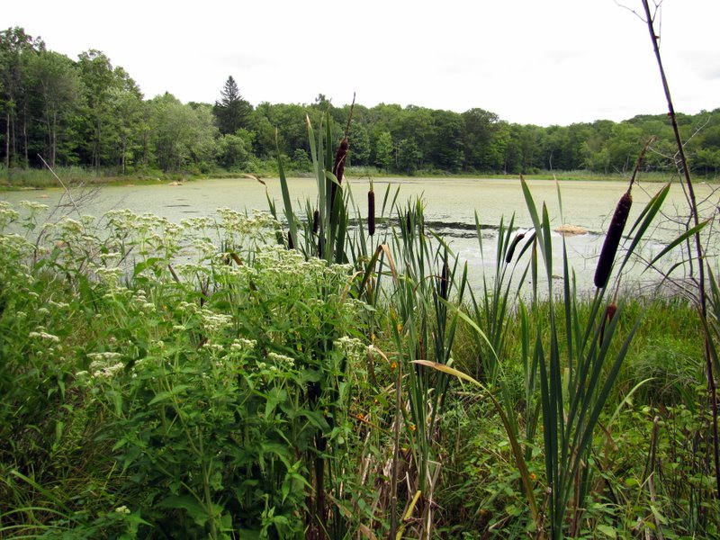 ... cattails ... |
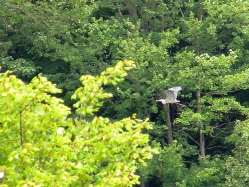 ... and a blue heron ... |
 ... at Blue Heron Lake |
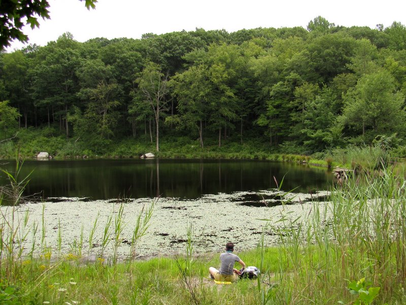 Our lunch spot |
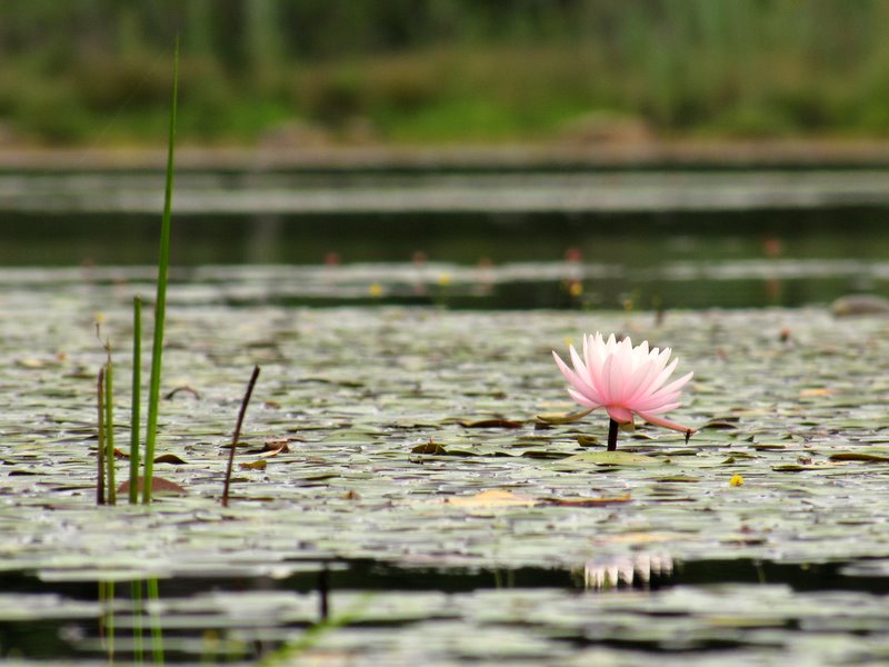 Pink lotus flower |
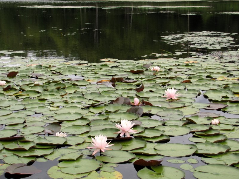 More of them! |
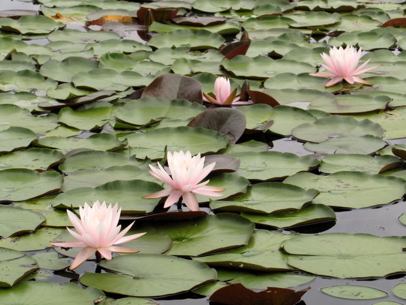 Close-up |
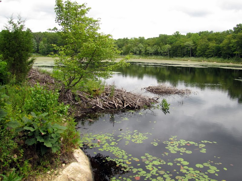 Beaver lodges |
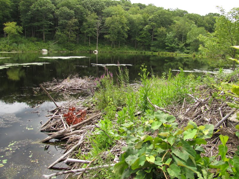 Lodges from other side |
 Abandonded drum |
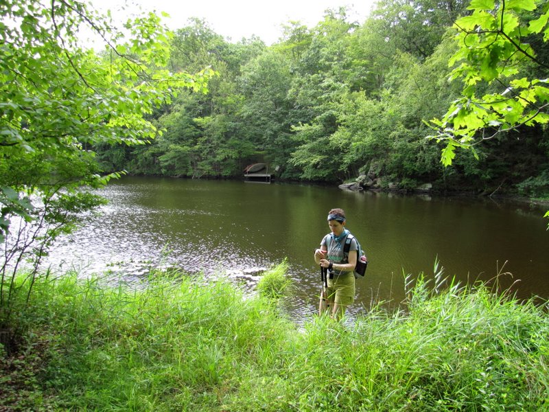
 Blue Heron Lake |
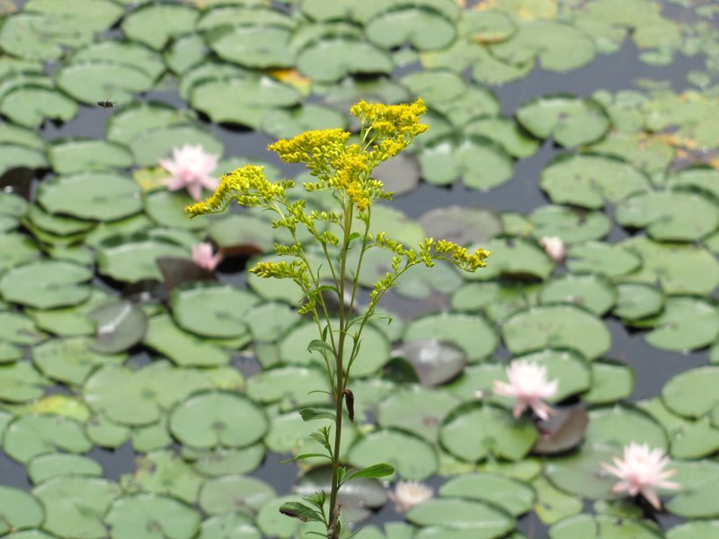 Wildflower against lotus background |
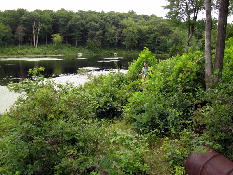
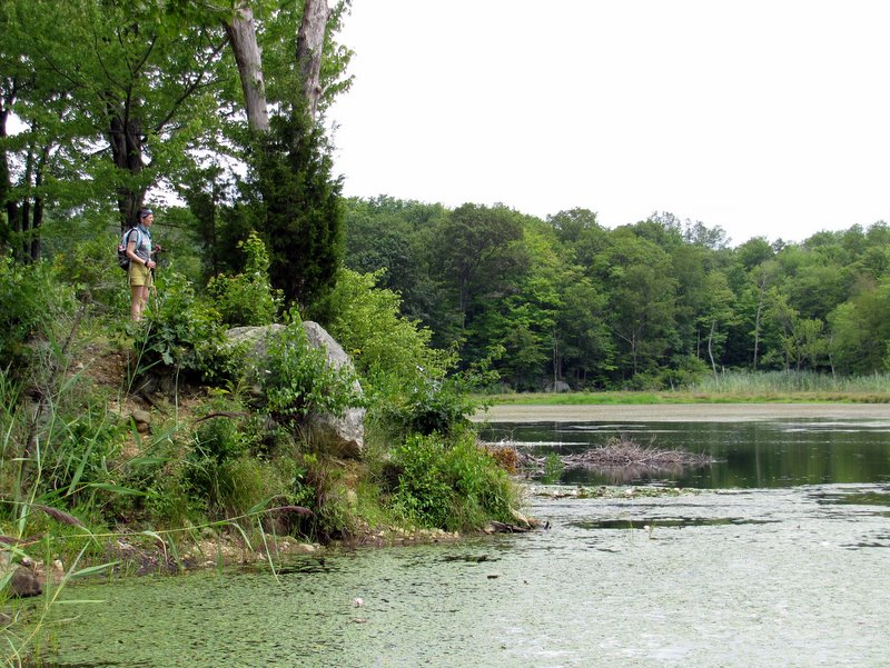 Laura surveying the lake |

|
|
Photographs and content copyright © Dan Balogh Web design by Dan Balogh |