 |
|
Six weeks ago we did two hikes in this lovely Morris County area. Today we returned to do the remaining unhiked trails, this time southwest of Weldon Road. Using
both this map and the NYNJTC Map #126, we parked at the Saffin Rock-Rill Area off
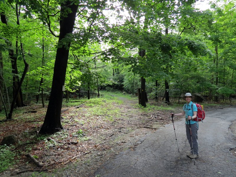
Weldon Road and headed north on Yellow. Making a sharp left on the Highlands trail we crossed Weldon Road and then took what's called the Winona Trail south to the
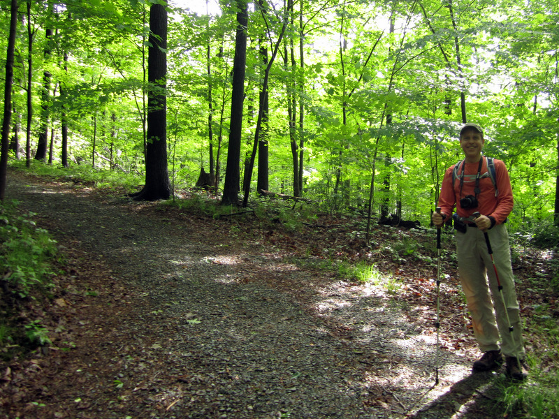
Highlands trail, on which we continued south all the way to Camp Jefferson. Neither of the two aforementioned maps contains the small network of trails between the
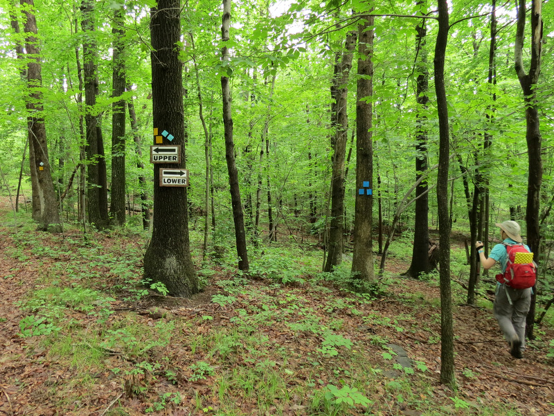
camp and the powerline cut. These include a Yellow trail (of which mostly comingles with the Highlands trail), a Blue and an Orange trail. We hiked some of these
back on Halloween, 2011, after
a freak winter storm hit New Jersey causing power outages all over the state (on that day we hiked these trails starting at the parking lot of Camp Jefferson).
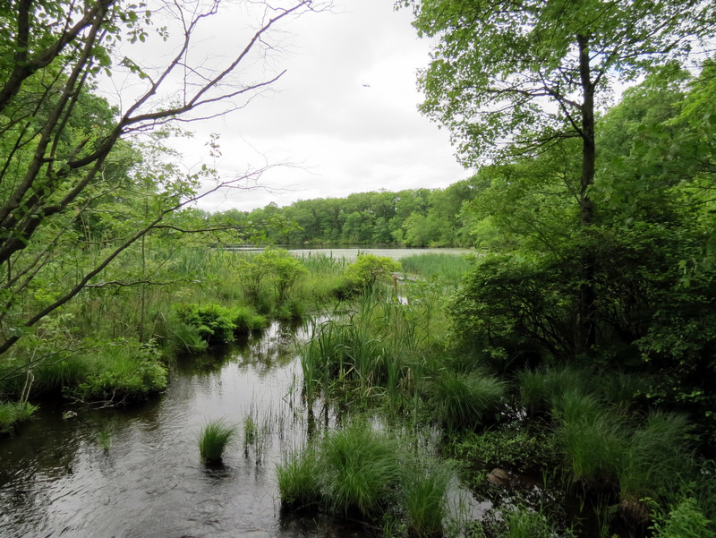
Today, upon reaching the lake at Camp Jefferson, we were greeted by huge, loud dump trucks and bulldozers. Some serious building activity was taking place on the NW bank of the lake. We came within feet of a giant bulldozer making its way over the narrow causeway at the northern tip of the lake. At this point we turned back, heading north on the Highlands Trail (which is also blazed Yellow here) but instead of taking this trail all the way back we took a Blue-blazed trail (not on either map and littered with Sandy blow-downs) until just south of the powerline cut, where we rejoined the Highlands trail, which we took all the way back to Weldon Road. We headed back to the car on Yellow, though not directly. We followed a small loop on east and then south to the car. The entire route can be seen here. In essence we did three loops today: one east of Weldon Road, another west of Weldon and north of the powerline cut, a third between the powerline cut and Camp Jefferson. One notable thing about today's hike was the explosion of red efts! We literally could not walk more than 15 seconds without seeing one on the trail, often seeing a dozen or more mingling together, and many were quite tiny! Total distance hiked today was just over 6 miles in just over 3.5 hours.
|
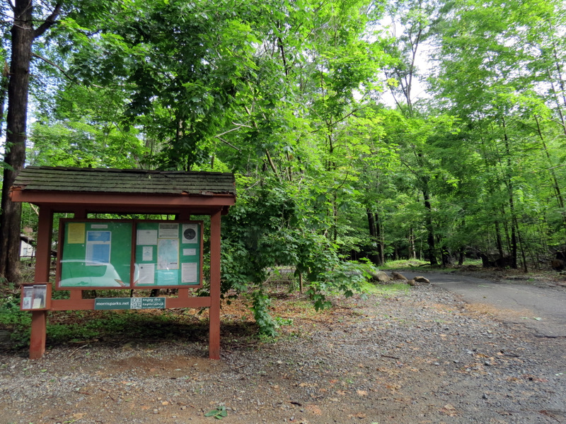 Saffin Rock-Rill kiosk |
 |
 Yellow passes behind building |
 And climbs |
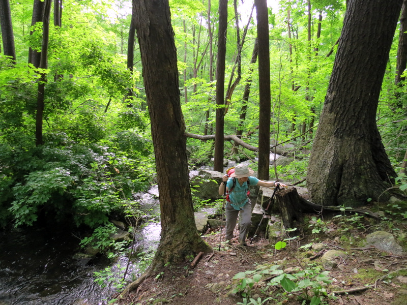
 [Photo by Laura] |
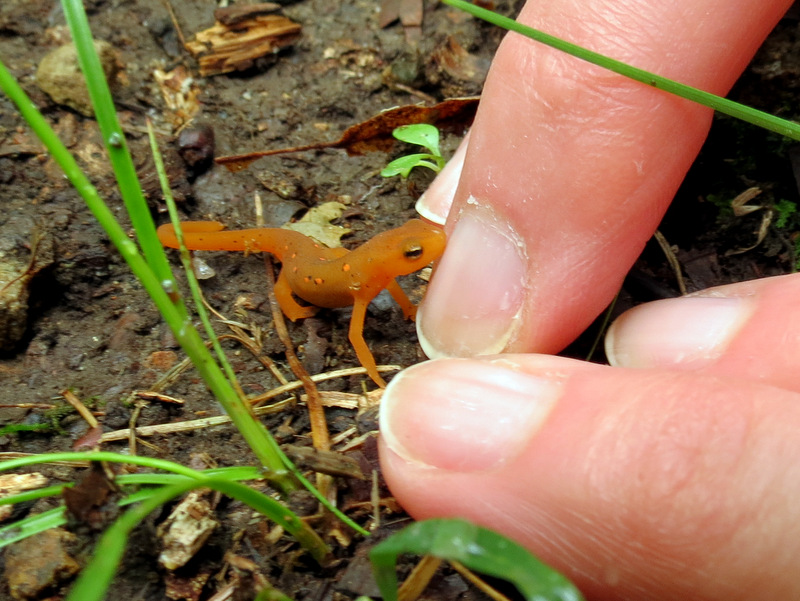 Tiny red eft |
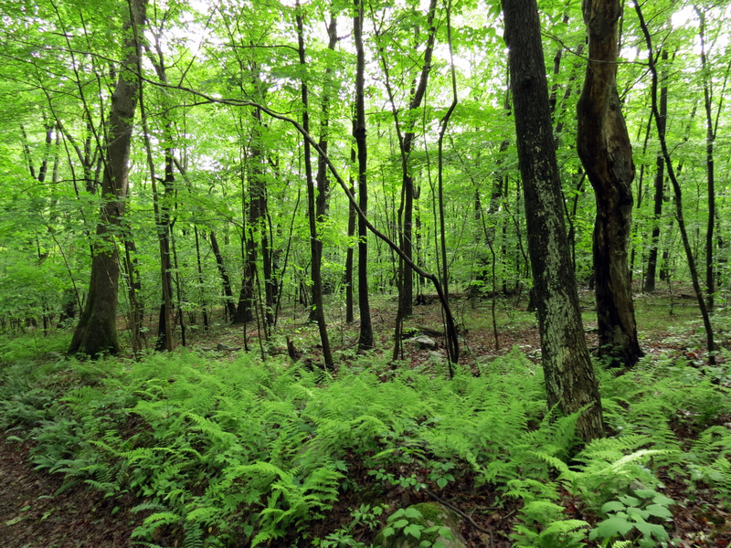 Ferns |
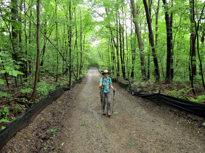
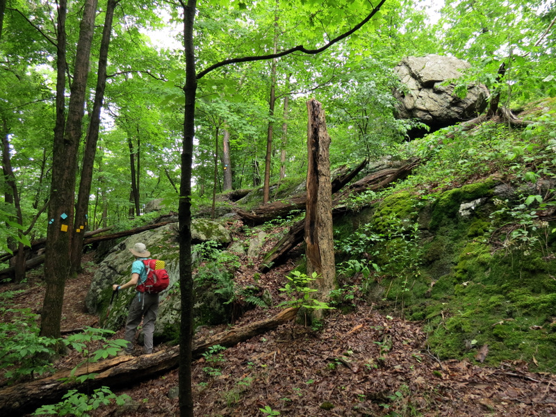
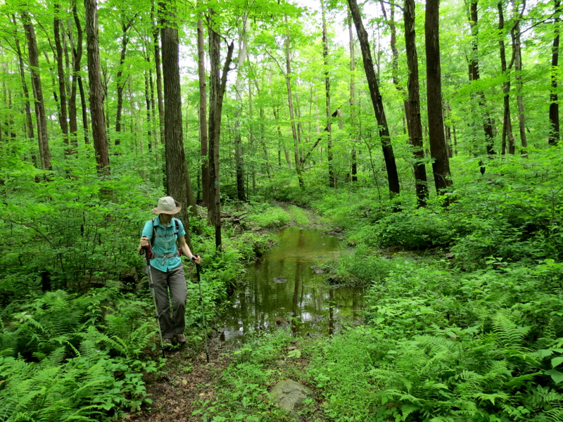
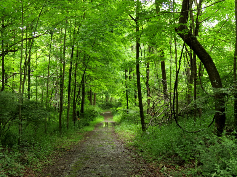
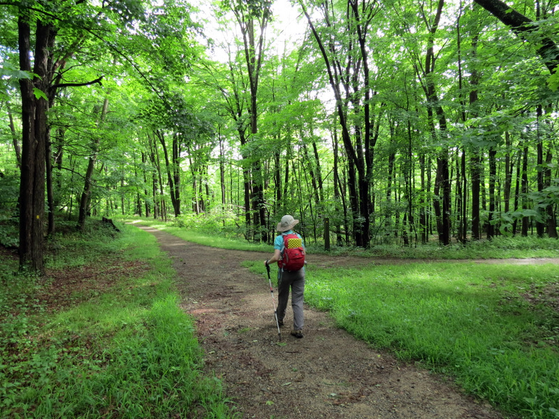 Beautiful woods road |
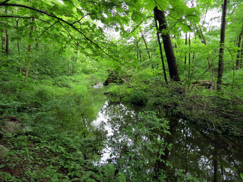
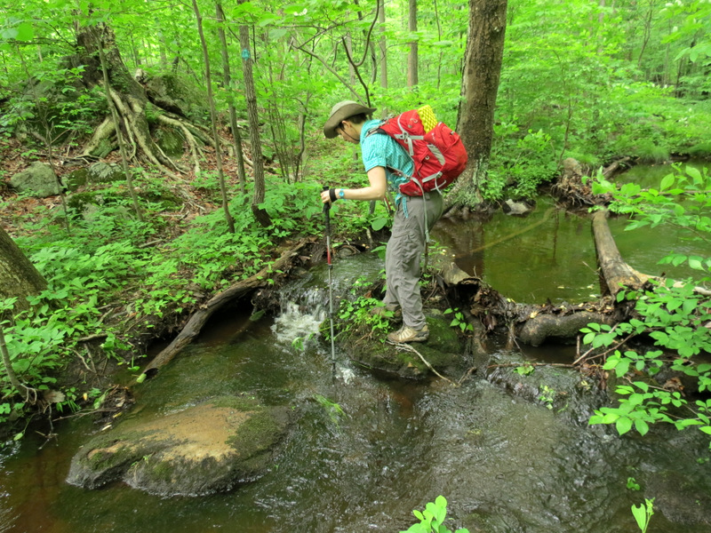
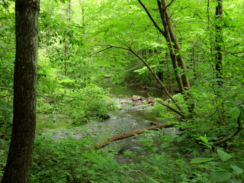
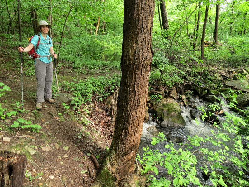 Stream ... |
 ... off Yellow |
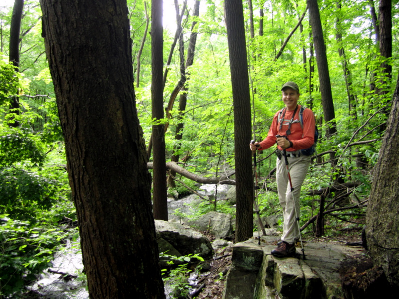 [Photo by Laura] |
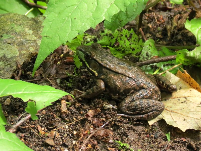 Frog near stream |
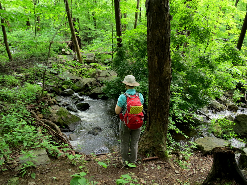
 Views of ... |
 ... stream off Yellow |
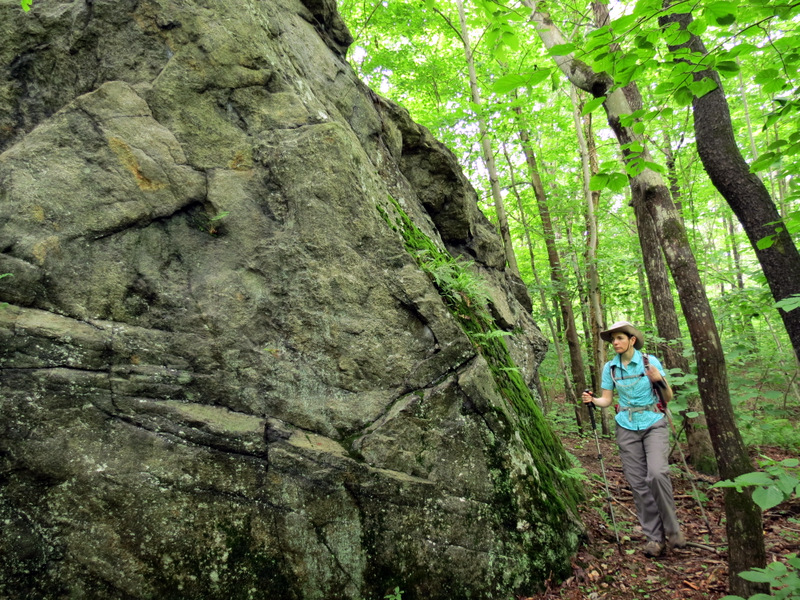
 Through a stone wall |
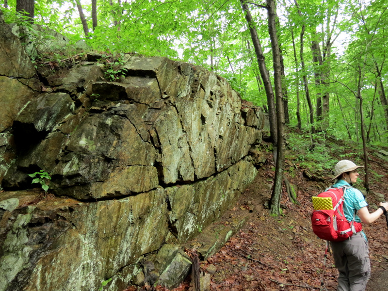
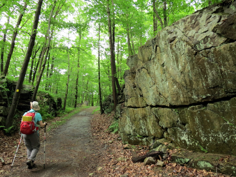
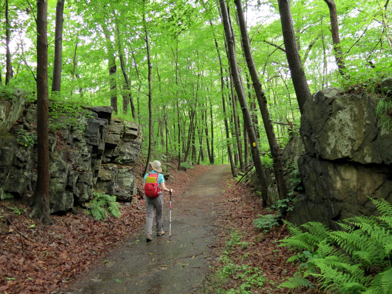 Blasted rock |
 |
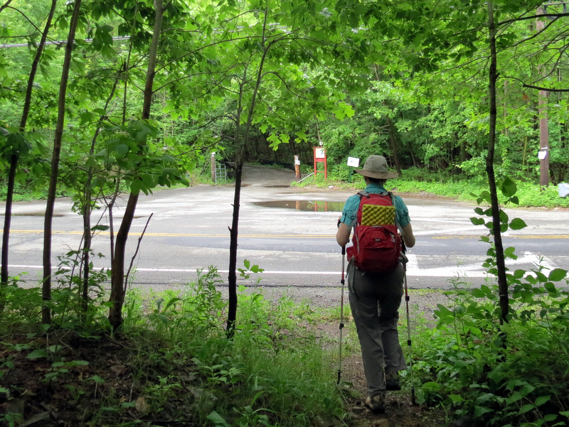 Crossing Weldon Road |
 Winona Trail |
 Hopping plastic from Winona to Highlands |
 Climbing on Highlands Trail |
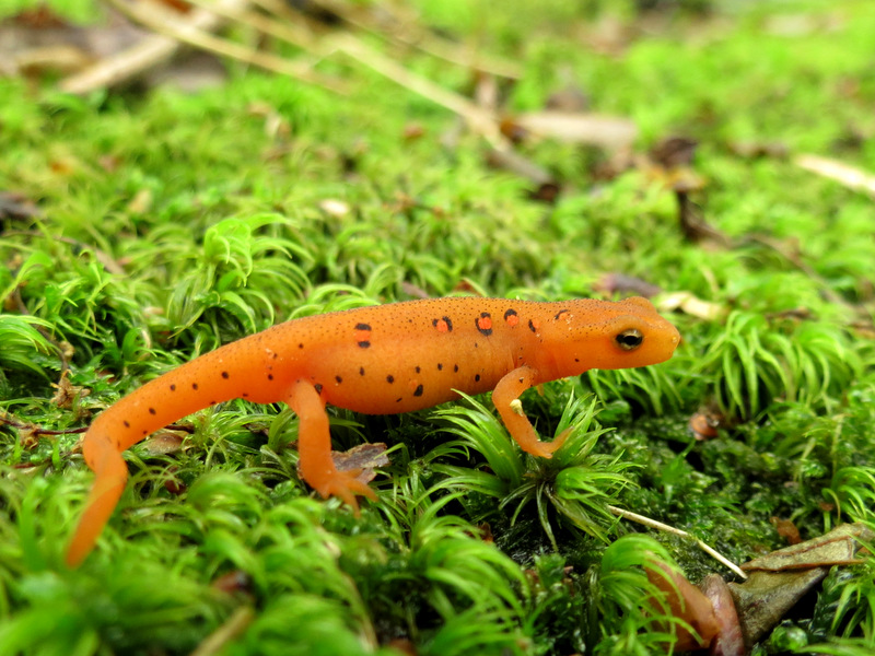 Red eft |
 Turkey |
 |
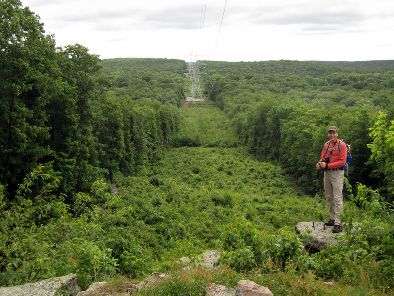
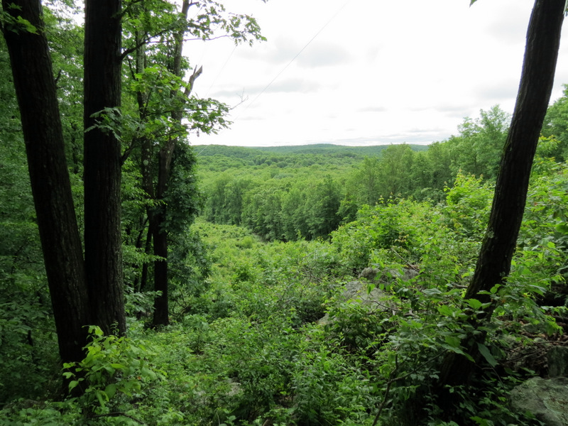 Nice ... |
 ... view ... |
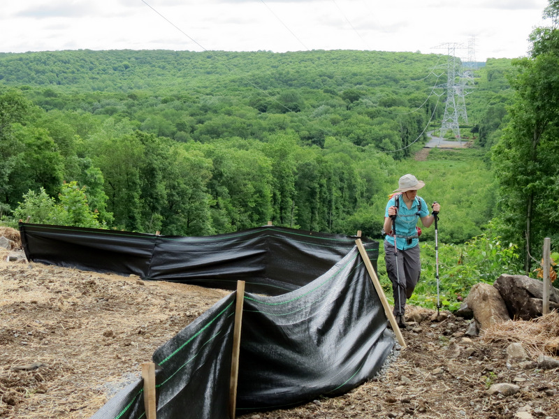
 ... east in ... |
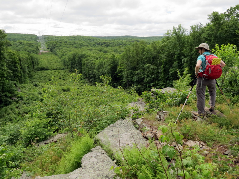 ... powerline cut |
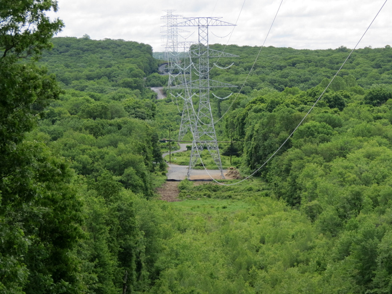
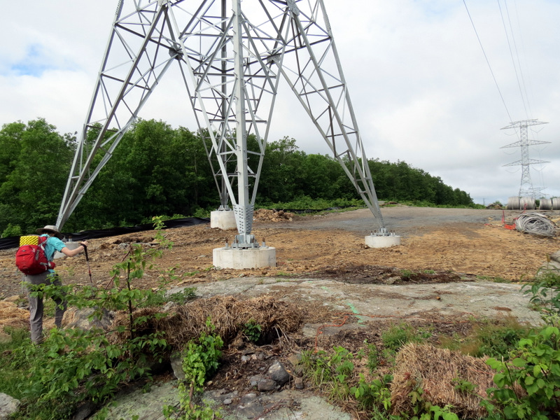 Towers |
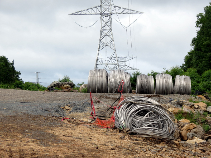 New cables |
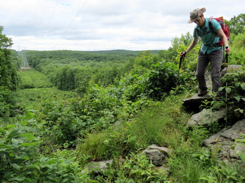
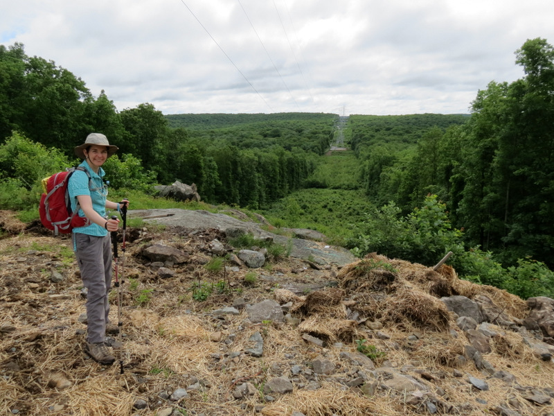 More views ... |
 ... east in cut |
 On Highlands-Yellow |
 |
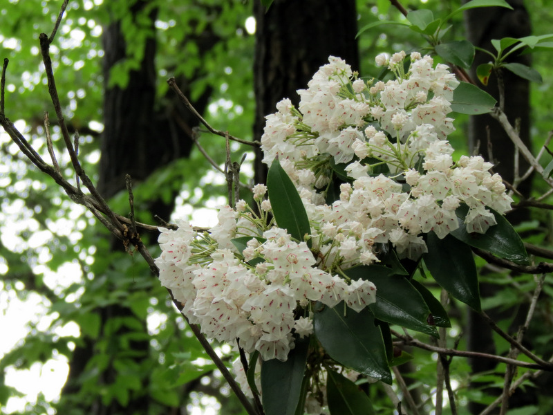 Mountain Laurel in bloom! |
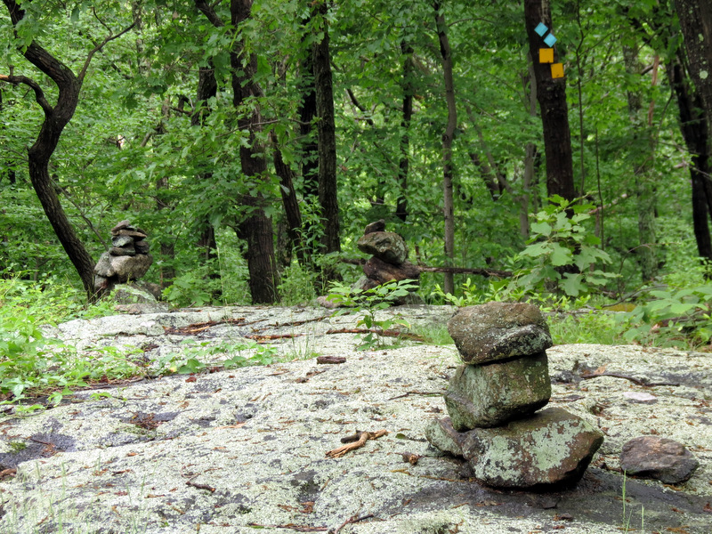 Line of cairns |
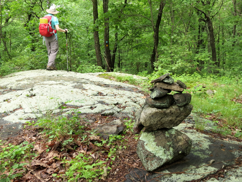 Elaborate cairn |
 |
 |
 Dew drop |
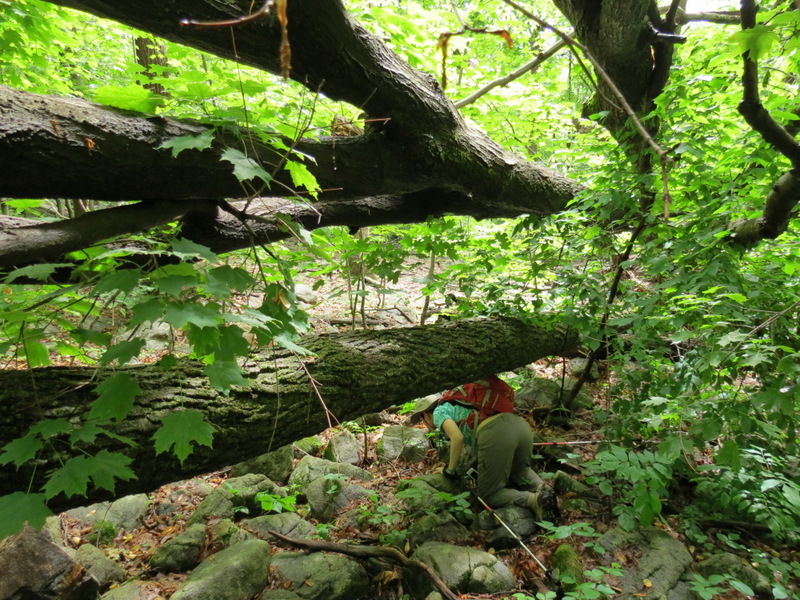
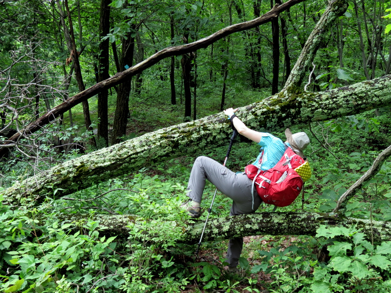 Blow-down hopping |
 Dump truck tracks at ... |
 ... northern tip of lake |
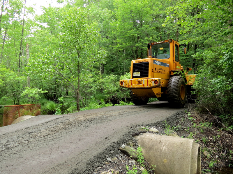 Bulldozer heading to Camp Jefferson |
 Taking Blue back |
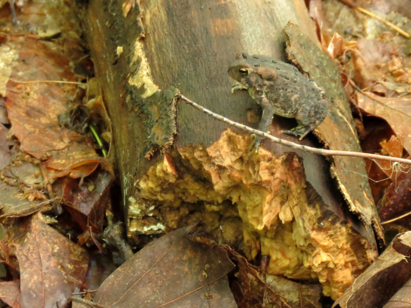 Toad |
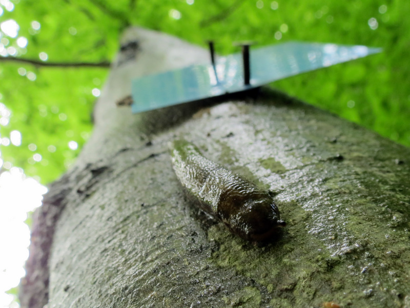 Slug under blaze |
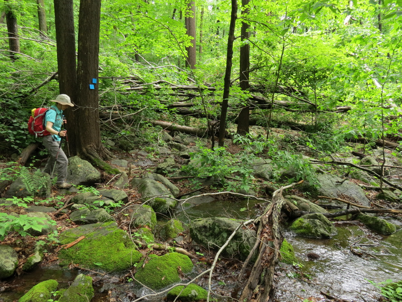 Stream |
 Blow-down on Blue |
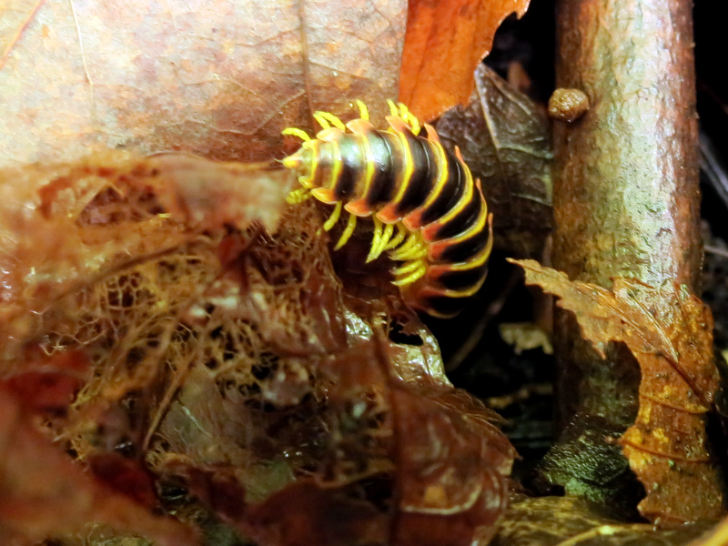 Centipede |
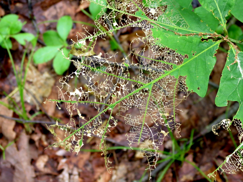 See-through leaf |
 |
 Northern tip of lower loop |
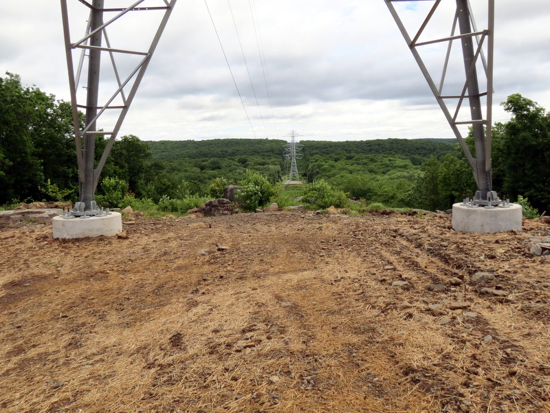 View from under power pylon |
 Strong bolts |
 [Photo by Laura] |
 |
 Ferns in cut |
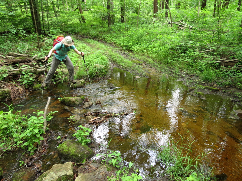
 Stream crossing on Highlands |
 |
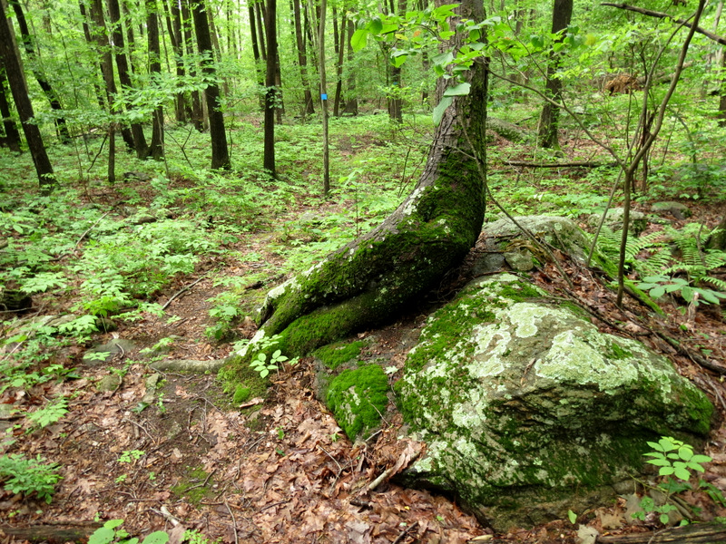
 Awesome roots |
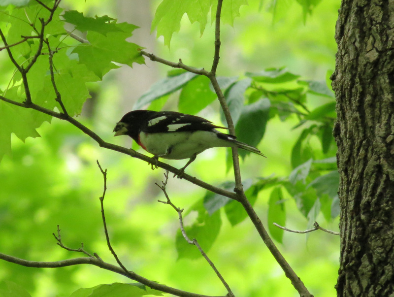 Rose-breasted Grosbeak |
 A very wet ... |
 ... Highlands trail |
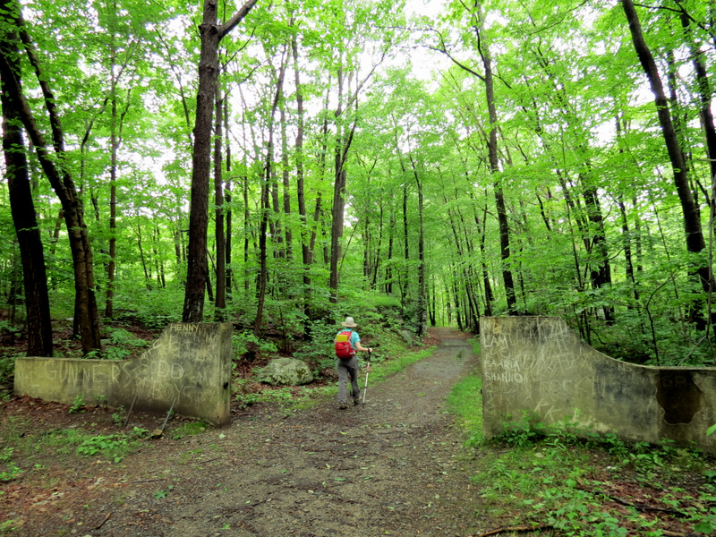
 Back through ... |
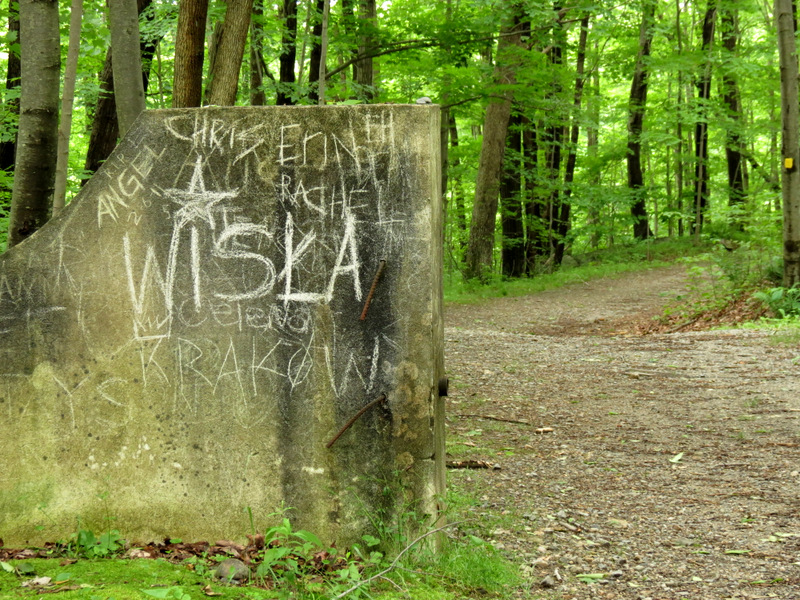 ... concrete gate |
 |
 Views of ... |
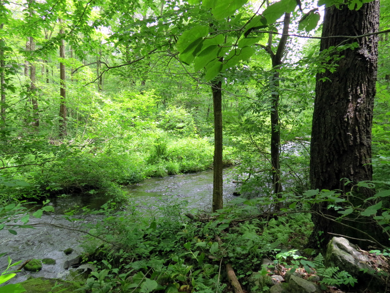 ... Weldon Brook |
 Gorgeous greens |
 |
 Red eft |

|
|
Photographs and content copyright © Dan Balogh Web design by Dan Balogh |