 |
|
A week ago I took the day off to go hiking with my friend Andy on a hike I designed that traversed Pingyp Mountain. Today
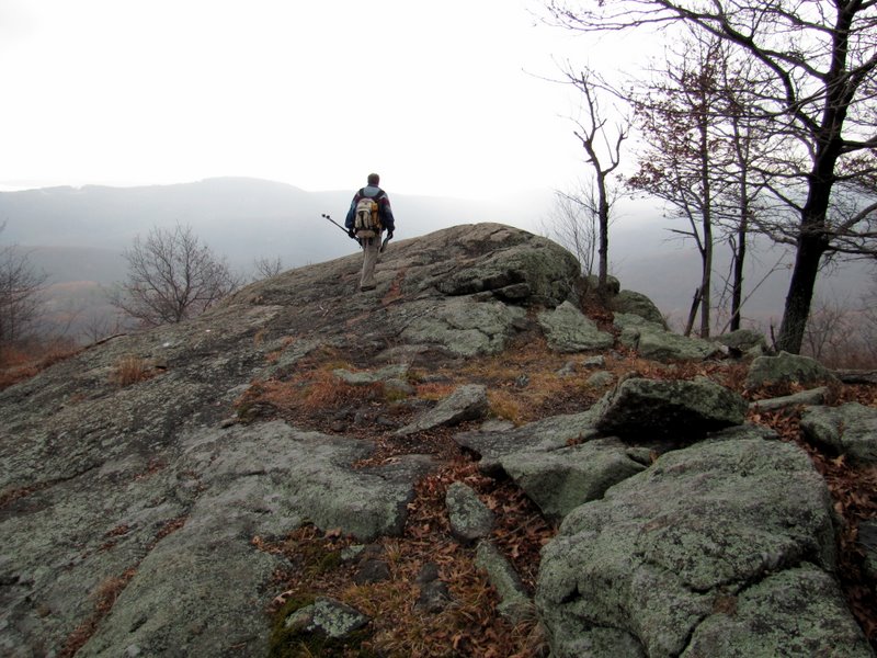
I took another Monday off and Andy and I headed back to Harriman to do a hike that he recently designed. And it was amazing, affording some of the most spectacular
views in all of Harriman.
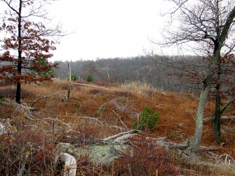
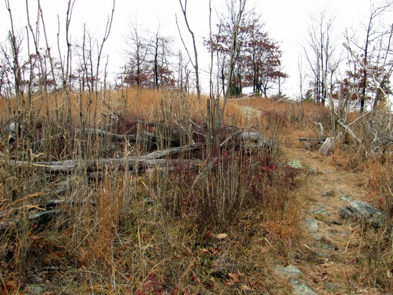
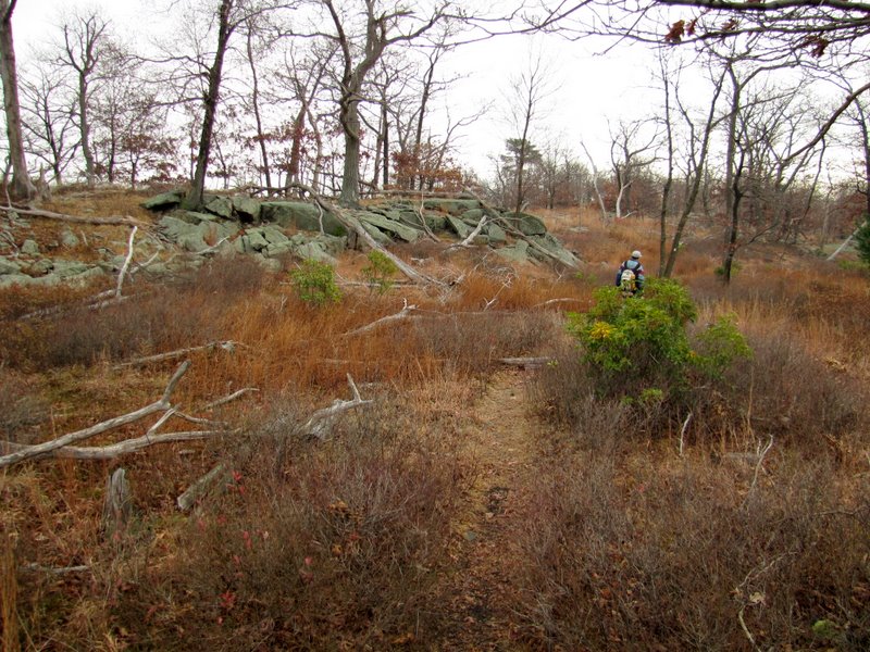
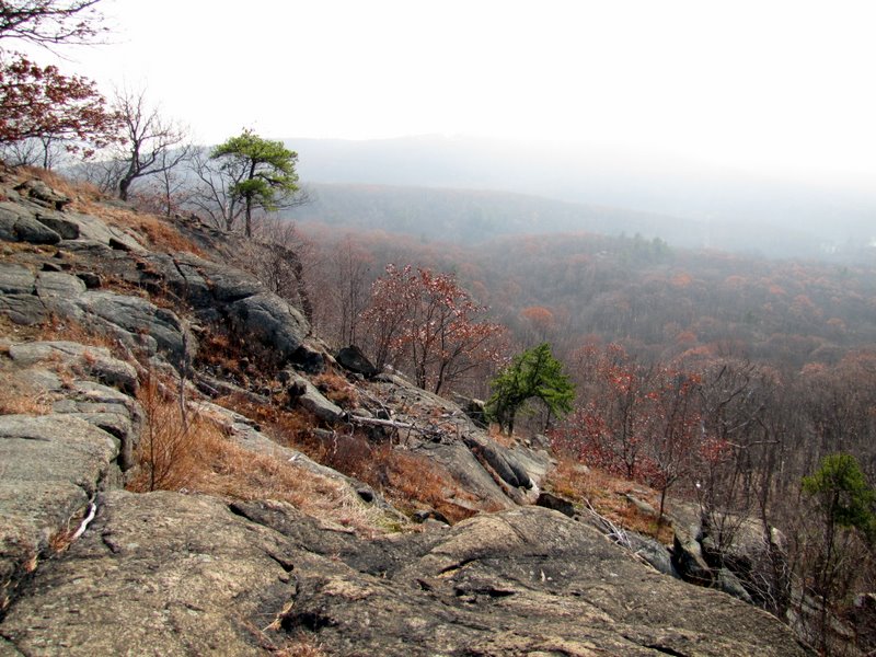
Here's a quick summary of the hike: from the southern lot at Anthony Wayne Recreation Area, head south along the bike/ski trail from the informational kiosk at the southern tip of the parking lot. Turn left on the Ramapo-Dunderberg trail (at 0.7 miles) and take this all the way to Timp Pass Road (at 2.35 miles), making a left on Timp Pass Road and then another left on the Timp-Torne trail (at 2.5 miles). Take the T-T west all the way to the AT, making a left onto the AT (at 3.65 miles) and descend back to the bike/ski trail where a right turn (at 4.4 miles) takes you back to your car. Total distance is 5 miles. (Those with a bit more time can add a 1.2-mile out-and-back to the top of the Timp by making a right on the Timp-Torne trail from Timp Pass Road.) Amazingly, while the stretch of the R-D from above Cat's Elbow to Timp Pass Road, is one of the most scenic in the entire park, there isn't a single viewpoint star denoted on the New York-New Jersey Trail Conference map for the trails in Northern Harriman! What the? And the segment of the Timp-Torne between Timp Pass Road to the AT has only a single viewpoint star (at the West Mountain shelter) even though there are nearly constant views along this stretch as well. Total distance hiked today was 5.3 miles in just over 4 hours with lots of climbing.
|
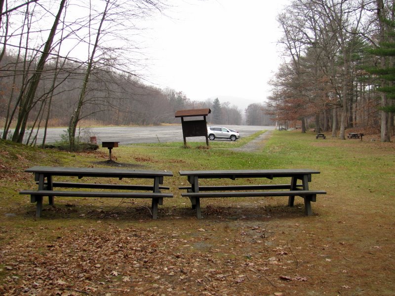 So parking lot at Anthony Wayne |
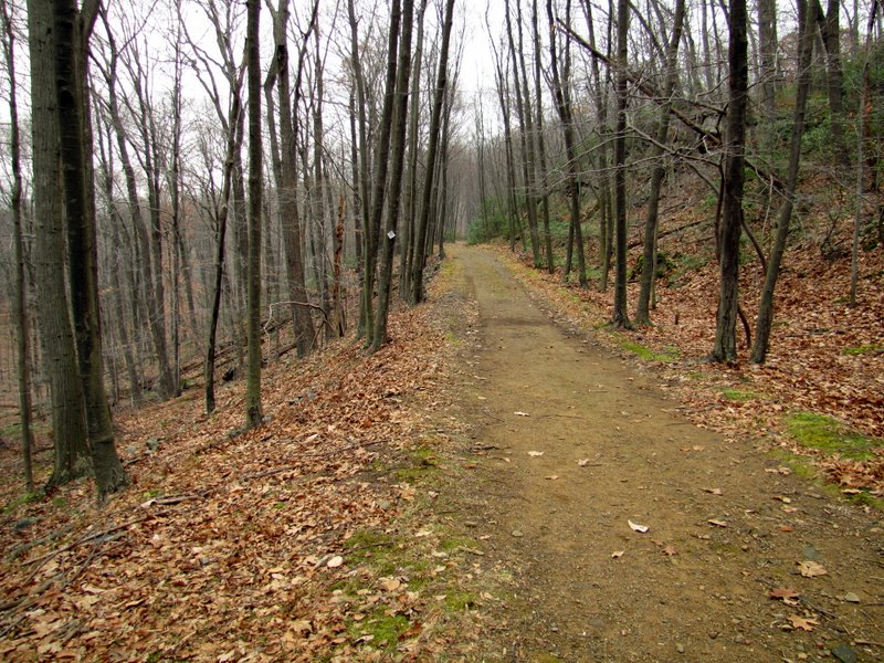
 On the bike/ski trail |
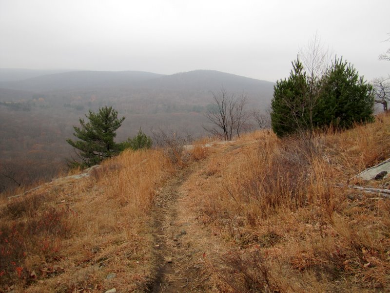
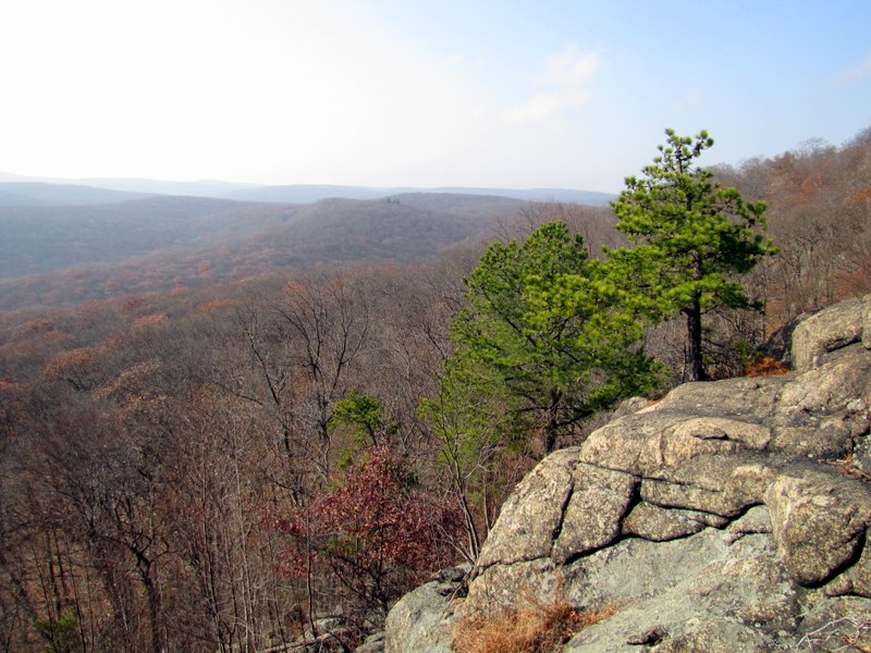
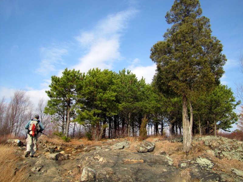
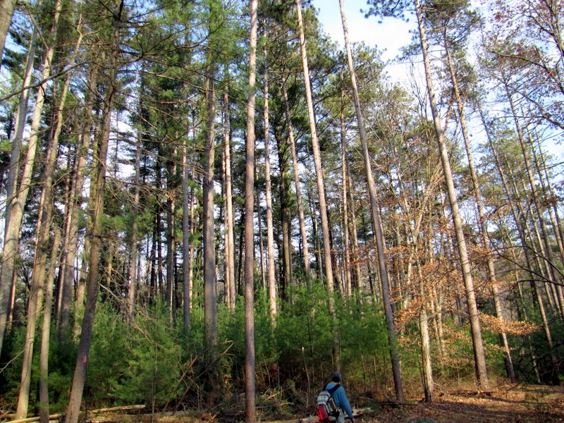
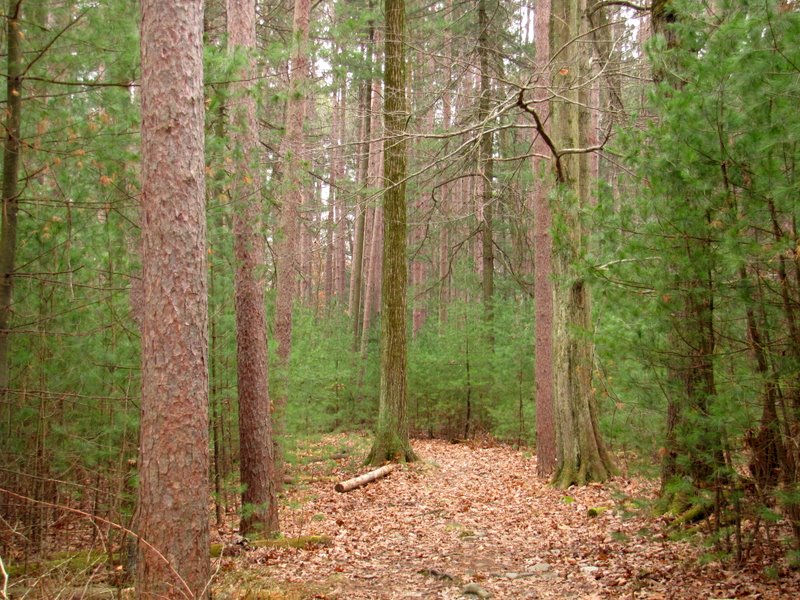 Pines |
 Creek bridge |
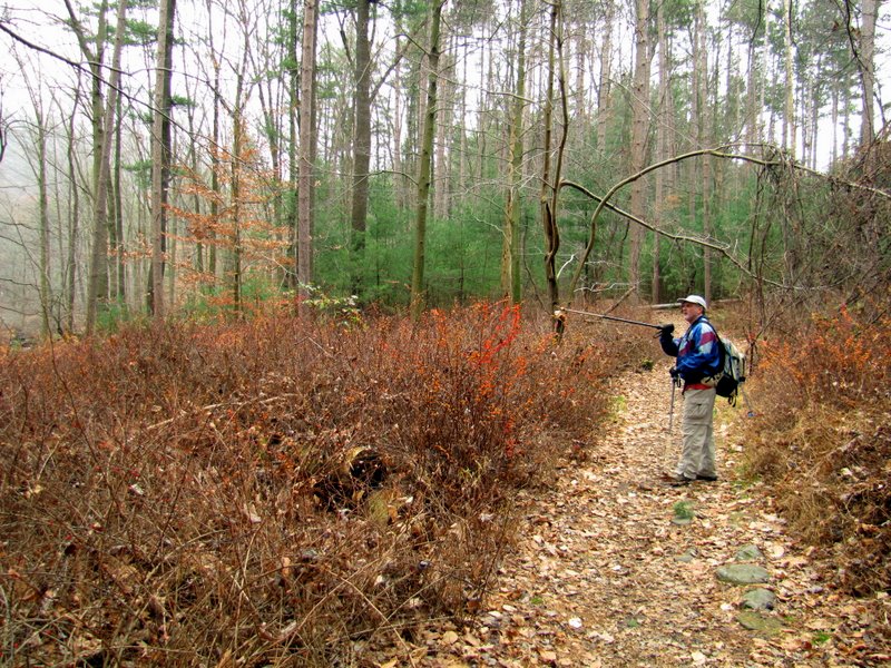
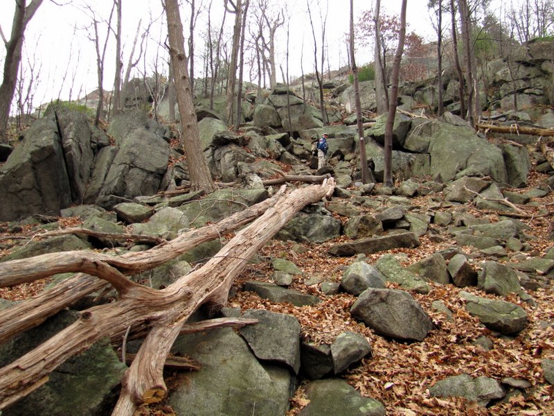
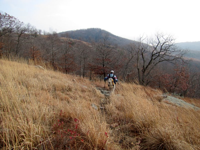
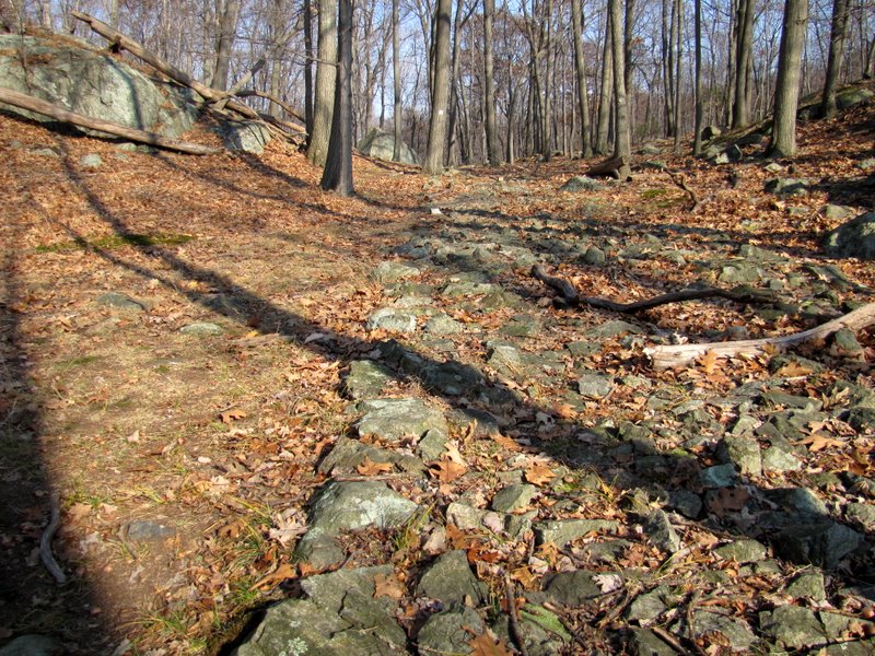
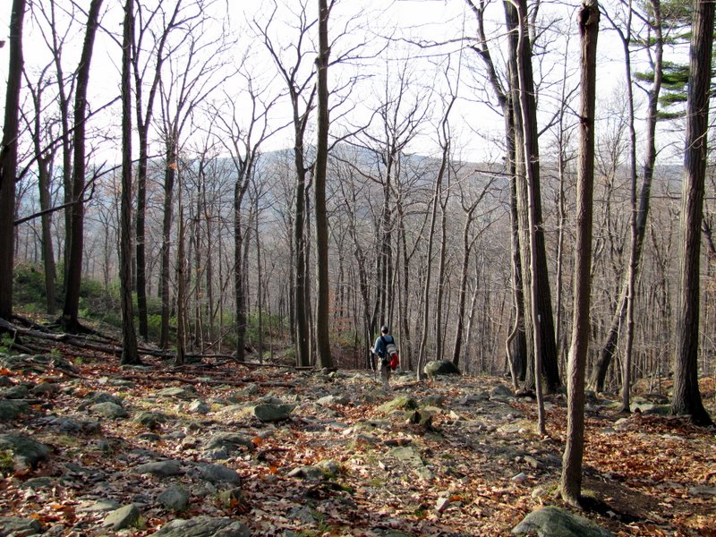
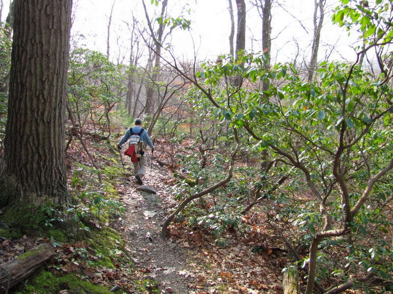
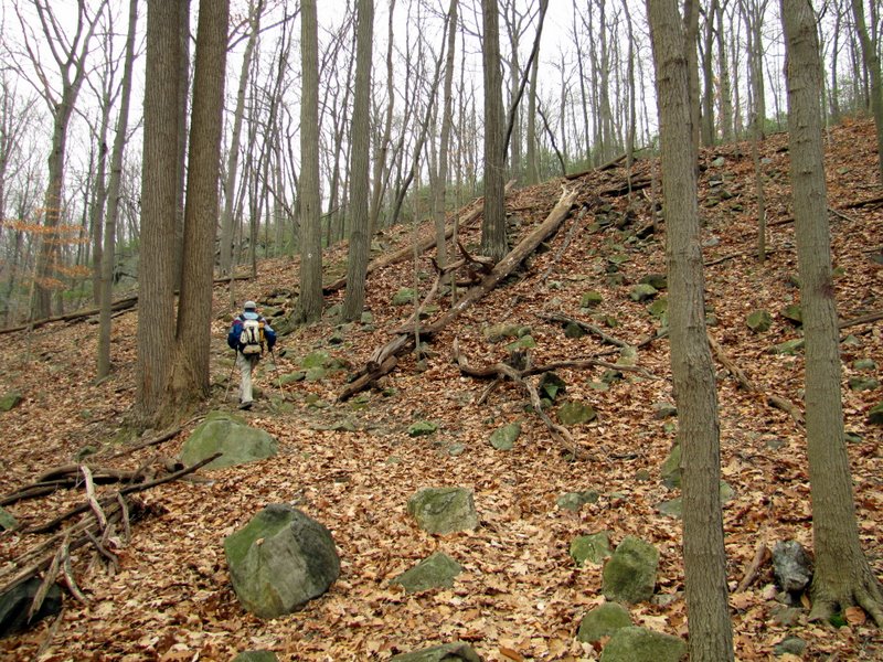 Climbing the R-D |
 Crossing Beechy Bottom Road |
 Mountain Laurel thicket |
 More climbing |
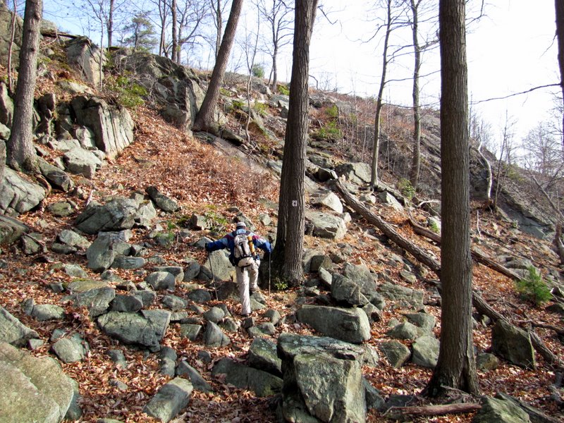
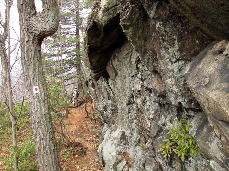 Narrow climb ... |
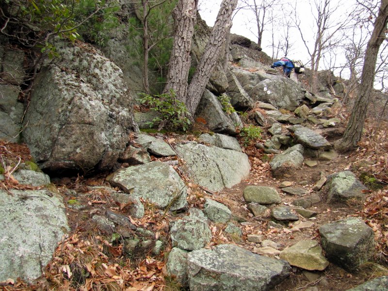 ... before more climbing |
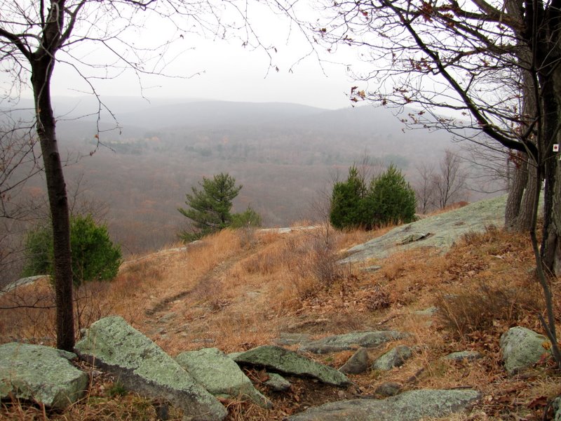
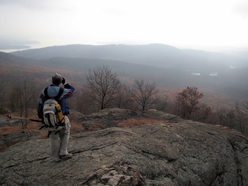
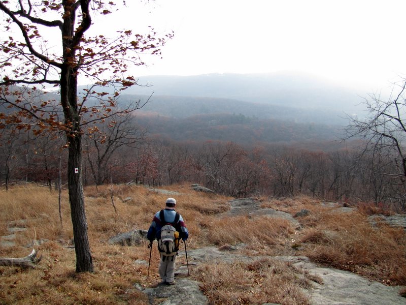
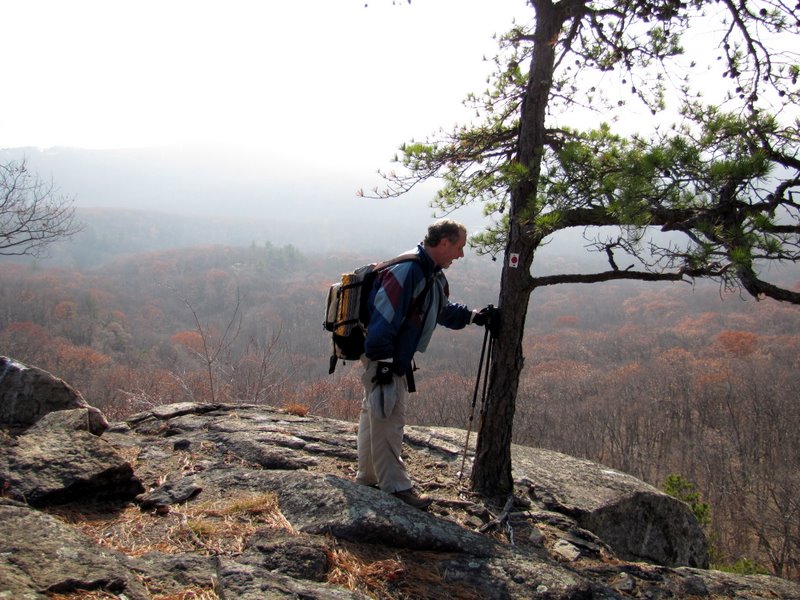
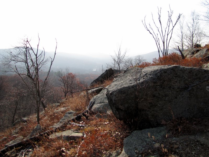
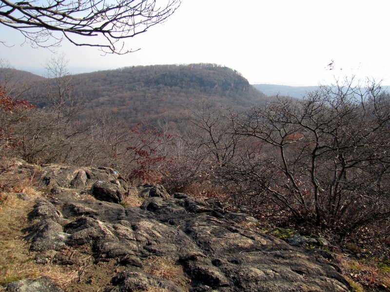
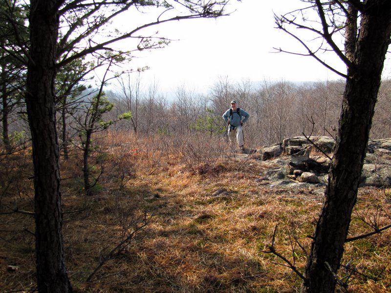
 First view from West Mt |
 View west |
 |
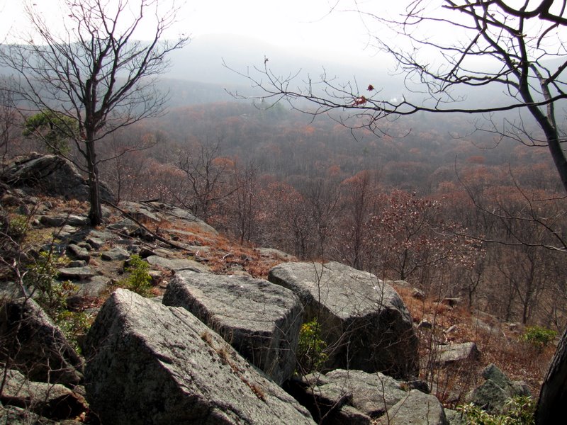
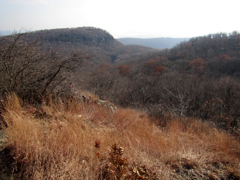
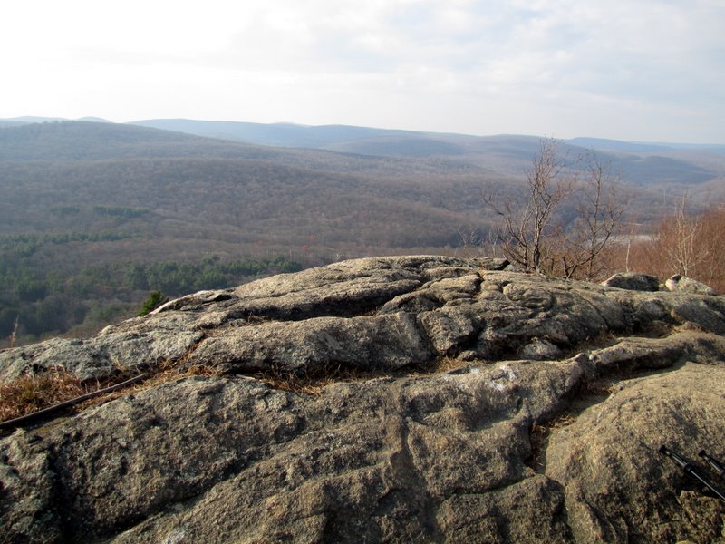
 View south |
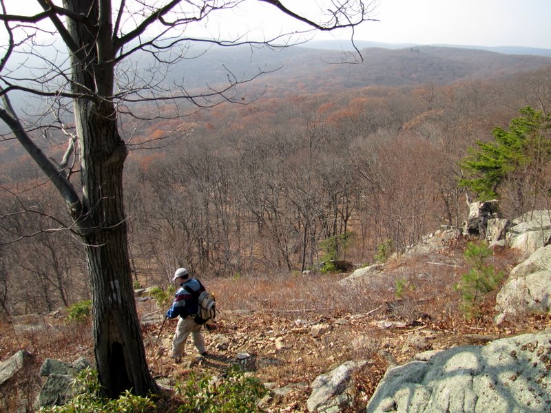
 Descending ... |
 ... to search for ... |
 ... "Cat's Elbow" |
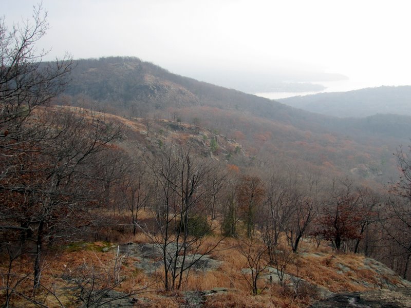
 View east |
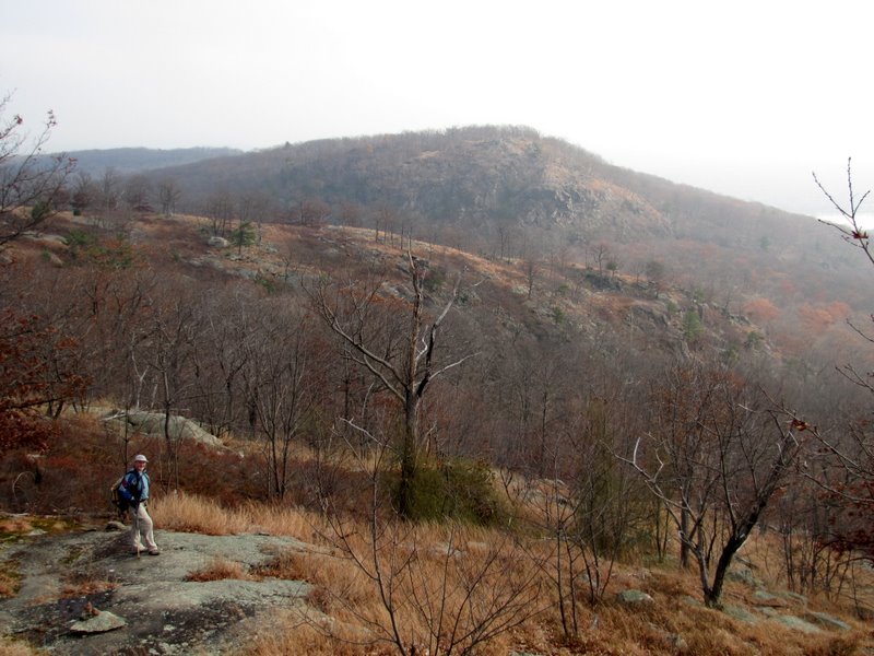
 Anthony Wayne parking areas from West Mt |
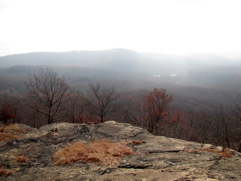
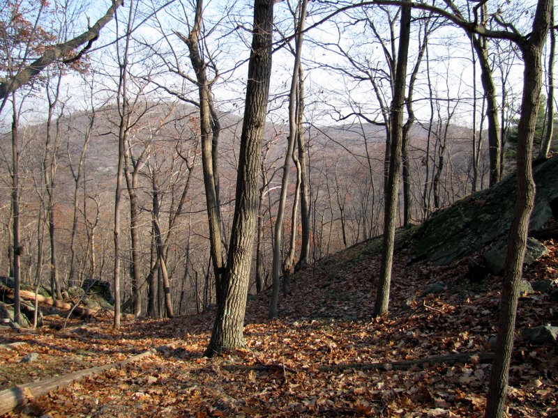
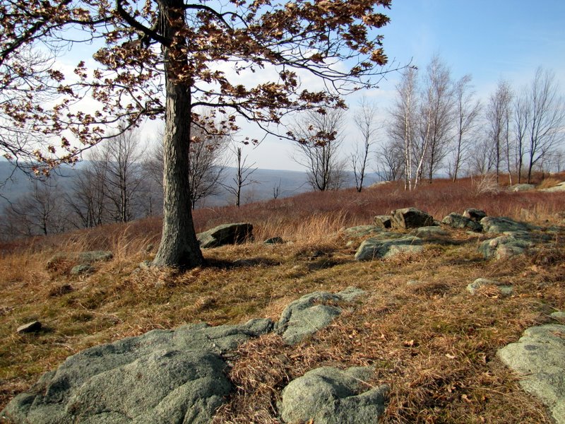
 View south |
 Wider view to parking area |
 |
 |
 |
 |
 Heading east along West Mt peak |
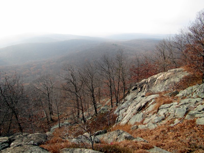
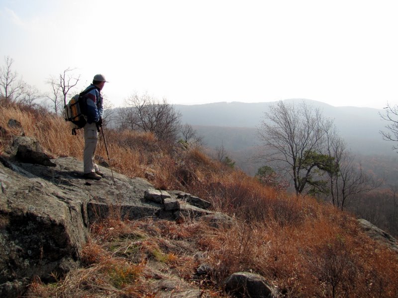
 Another lookout ... |
 ... to the south |
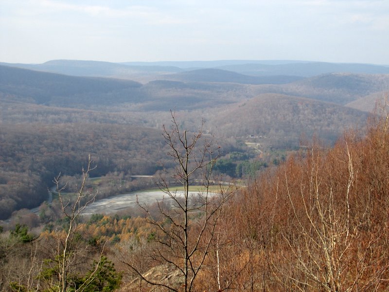
 View SE to Hudson |
 Timp Mt looms over Hudson |
 View south |
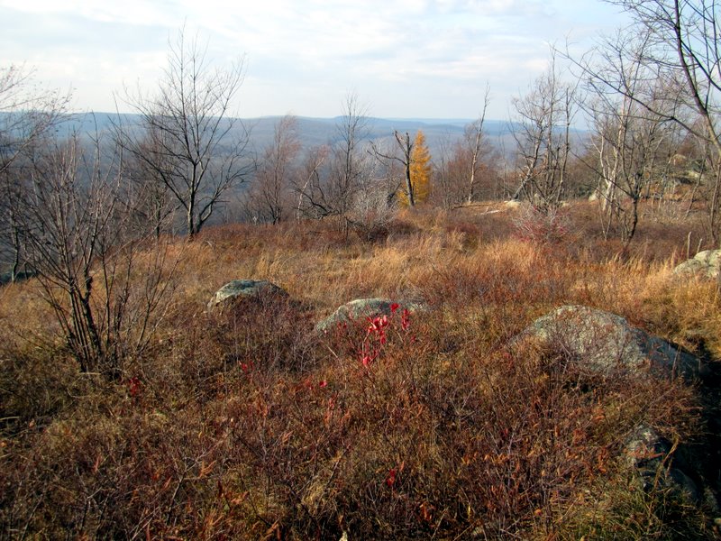
 View SW |
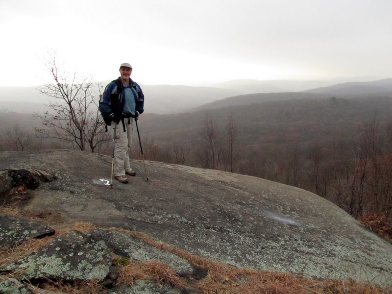
 Andy & the Timp |
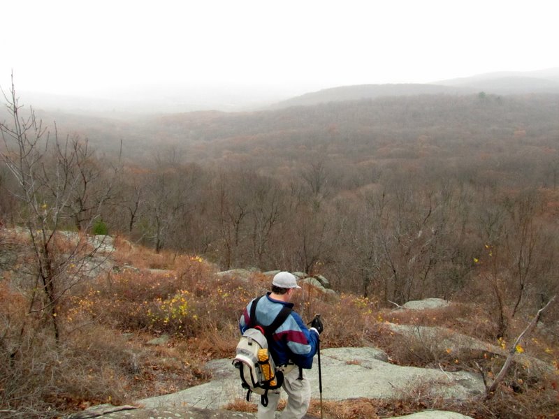
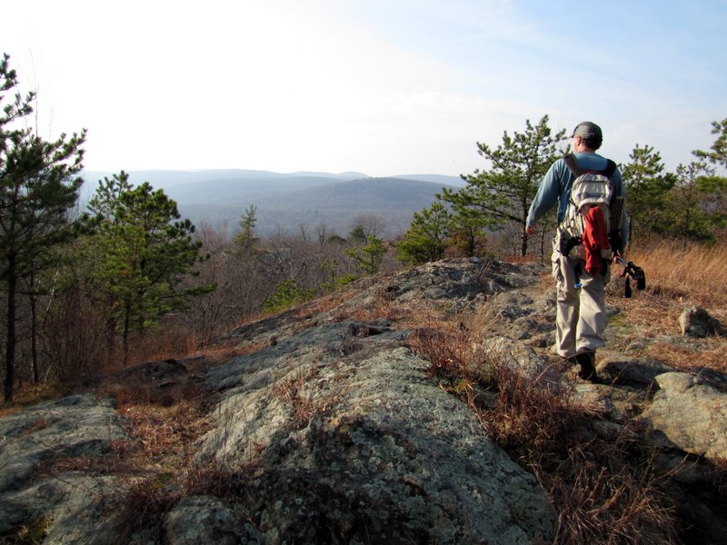
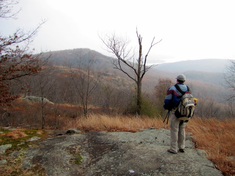 Continuing east to Timp |
 |
 |
 Descending |
 |
 |
 Slight ascent along side |
 |
 |
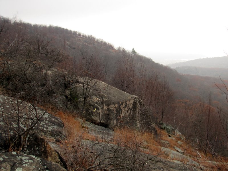
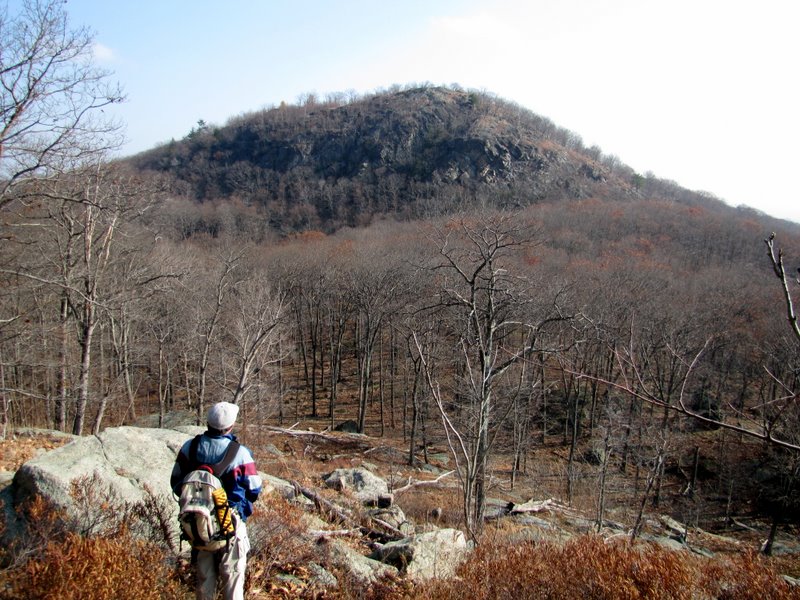
 Previously visited peak |
 View west |
 |
 |
 |
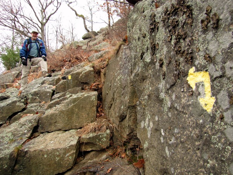
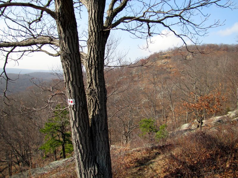
 That should be blazed for a left! |
 |
 Continuing descent |
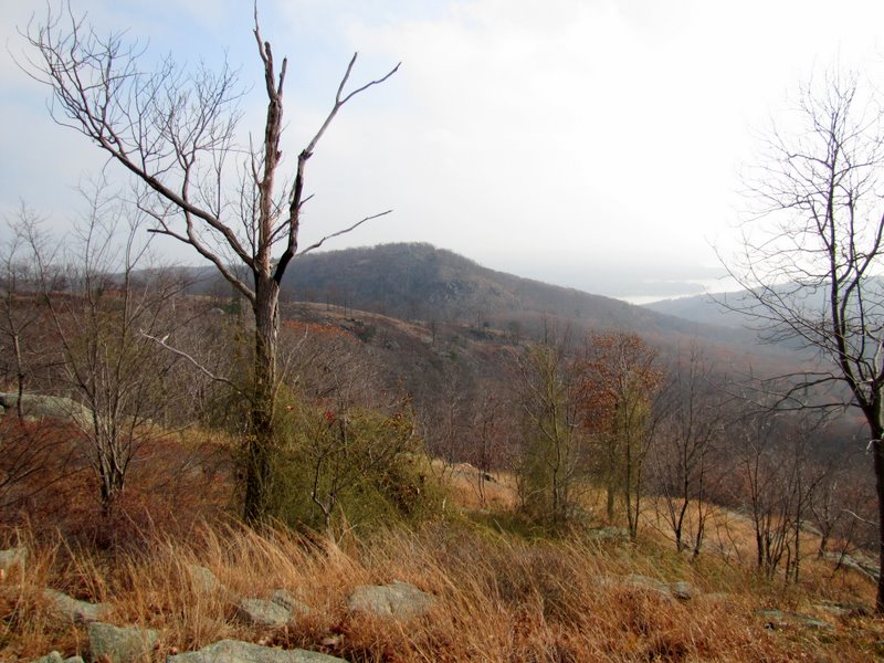
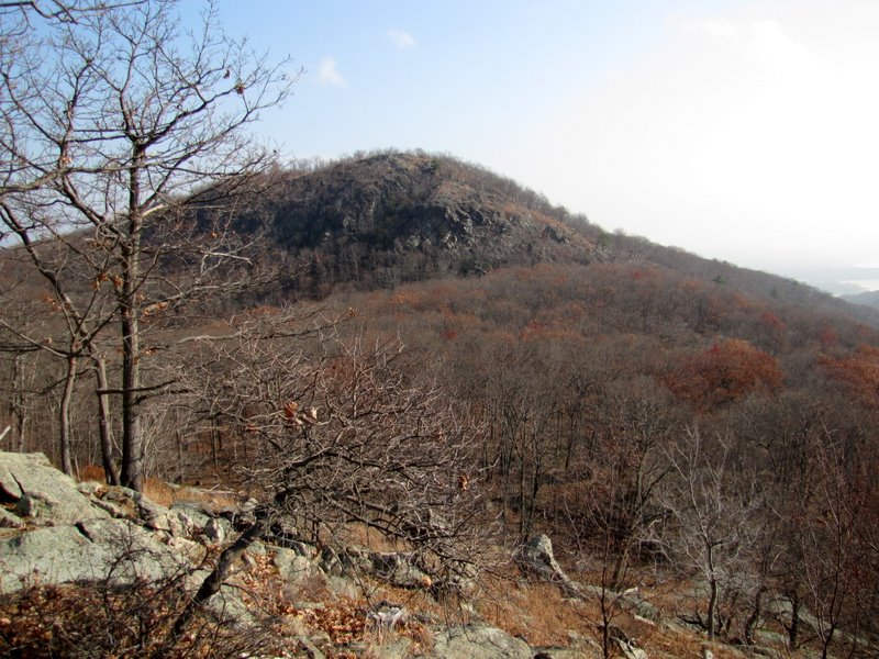 The glorious Timp |
 |
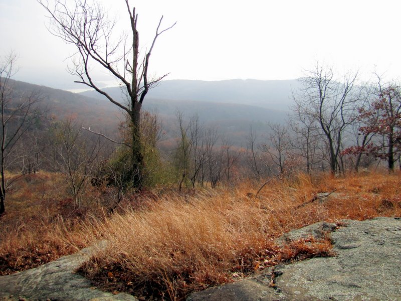
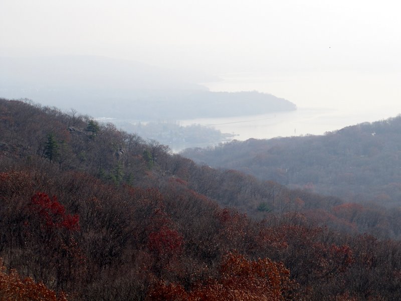 Hudson River |
 |
 |
 Last view before the pass |
 |
 Rocks of Timp Pass Road |
 Moutain Laurel on Timp-Torne |
 Bald & Dunderberg Mts |
 The Timp from the T-T |
 |
 Wider view of Hudson |
 West Mt ridge to the south |
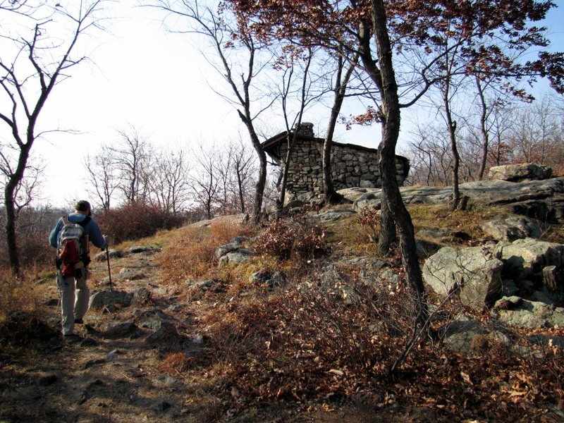 Approaching the ... |
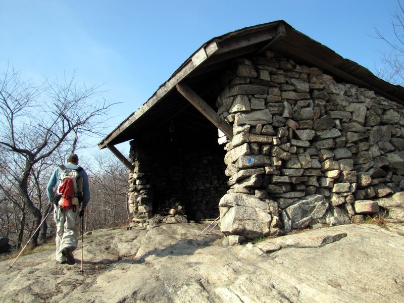 ... West Mt shelter |
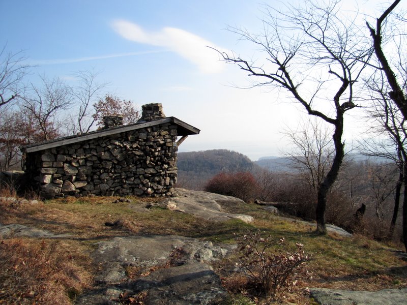 View from shelter |
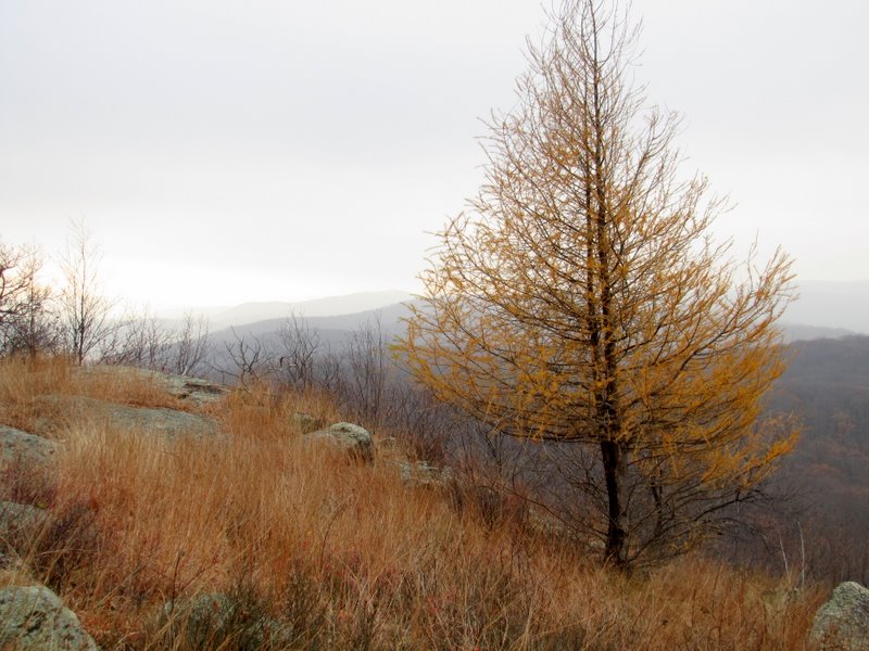
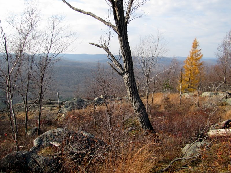
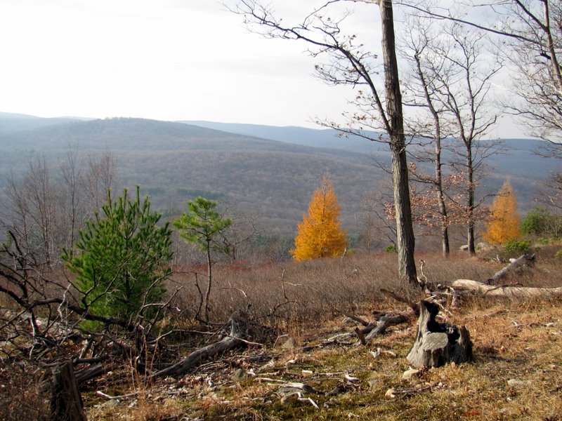
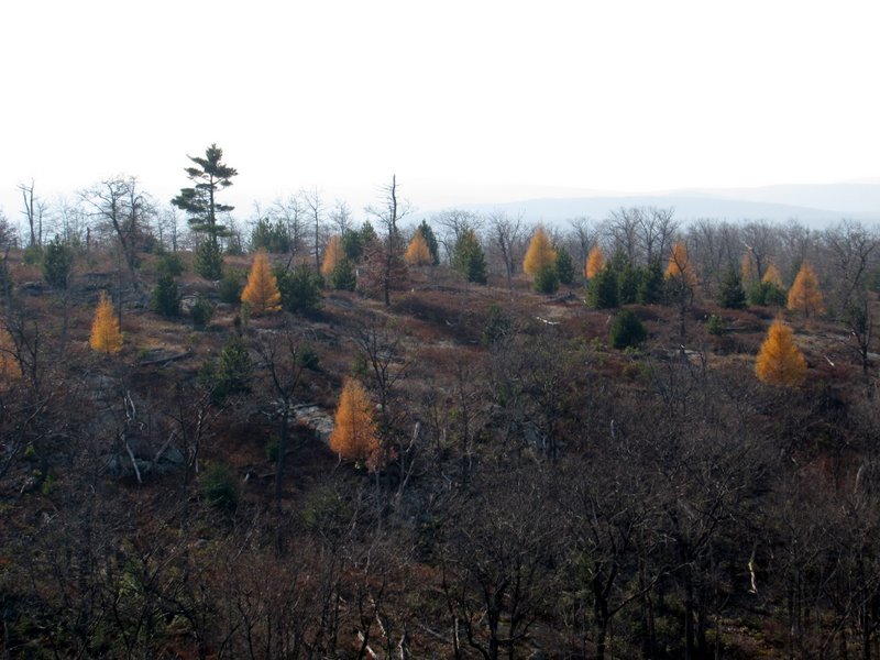 Yellow trees on southern local peak |
 Cairn on the T-T |
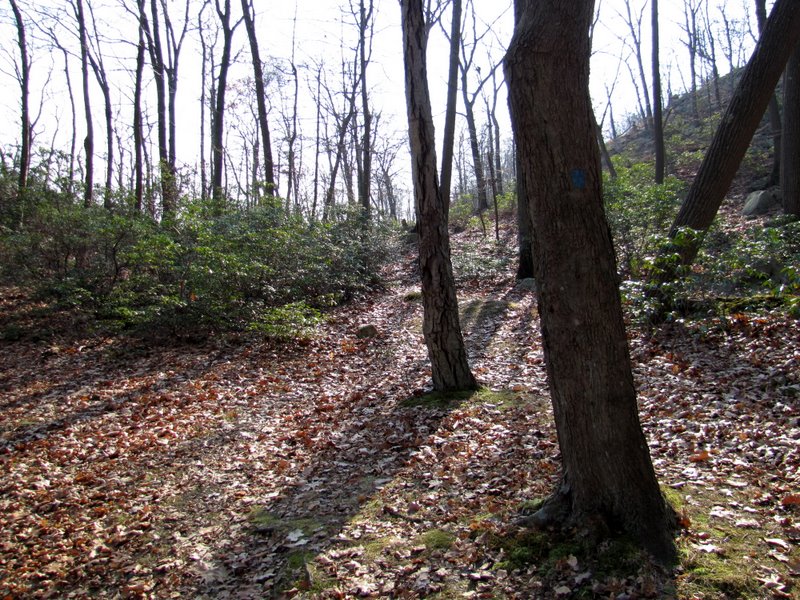
 Heading west to the AT |
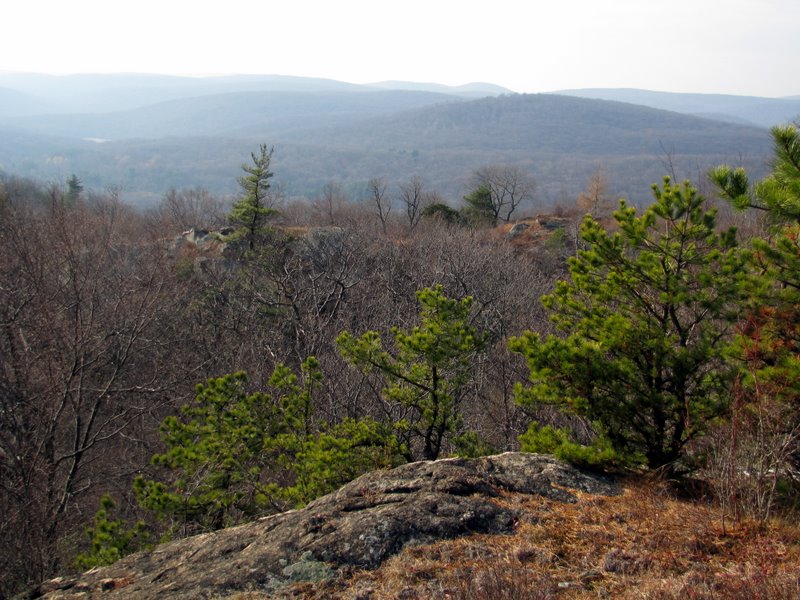 View SW |
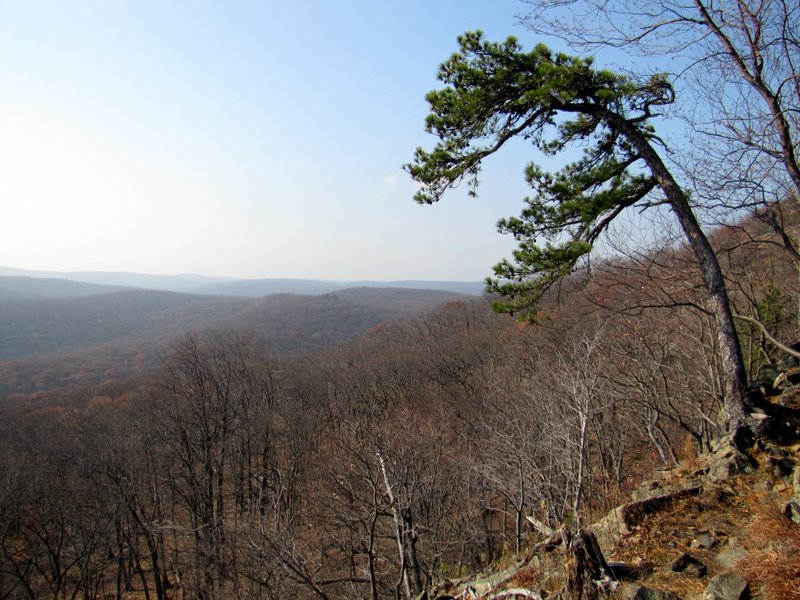
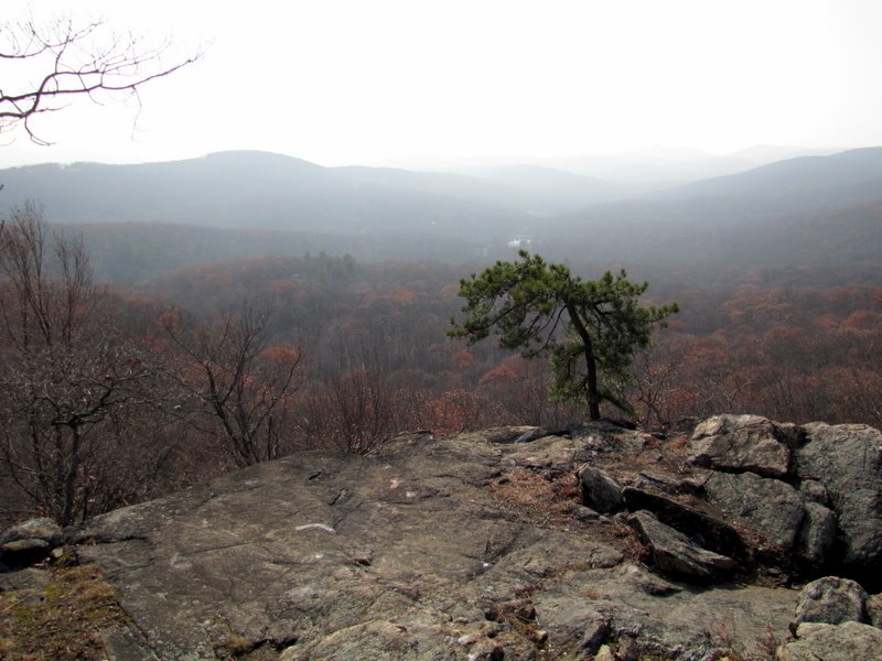
 Beautiful tuft of pines |
 View from pines |
 |
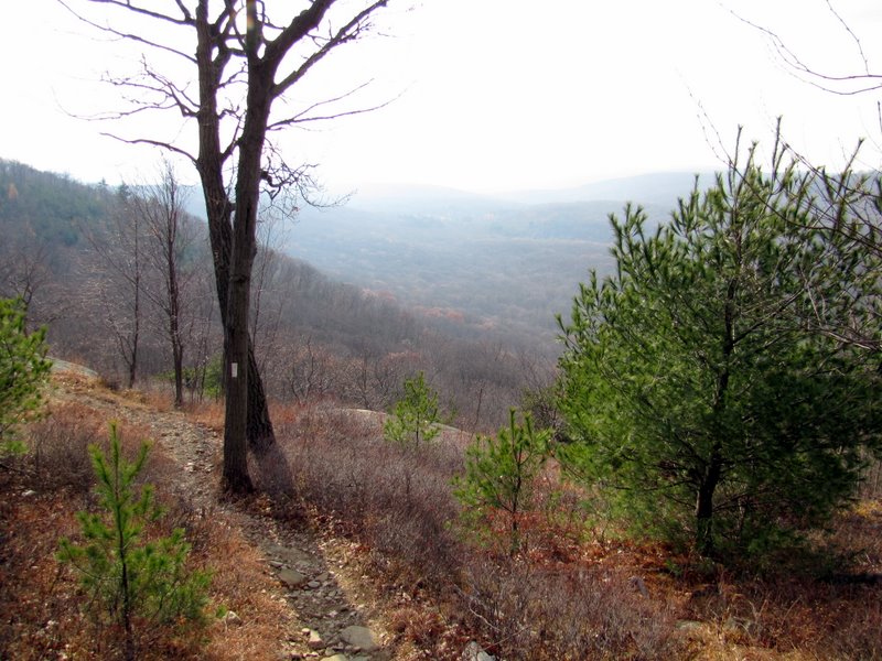
 View west |
 |
 |
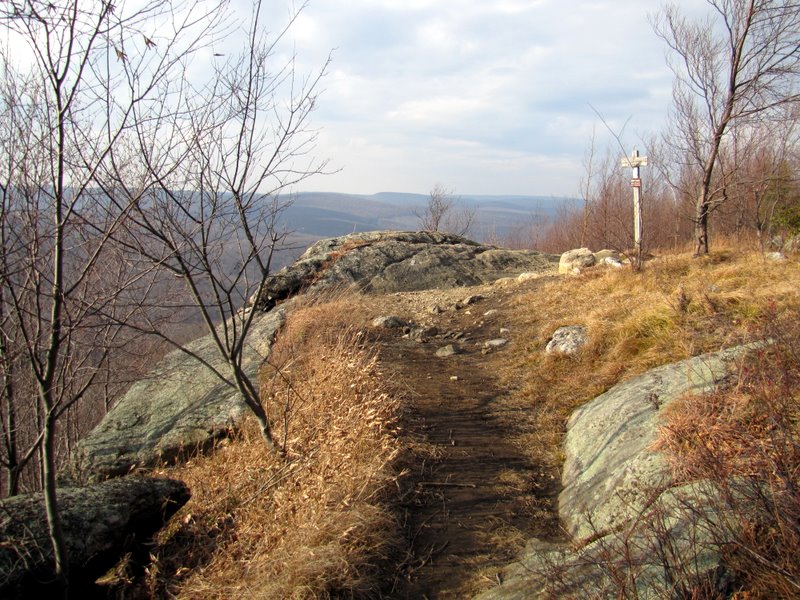
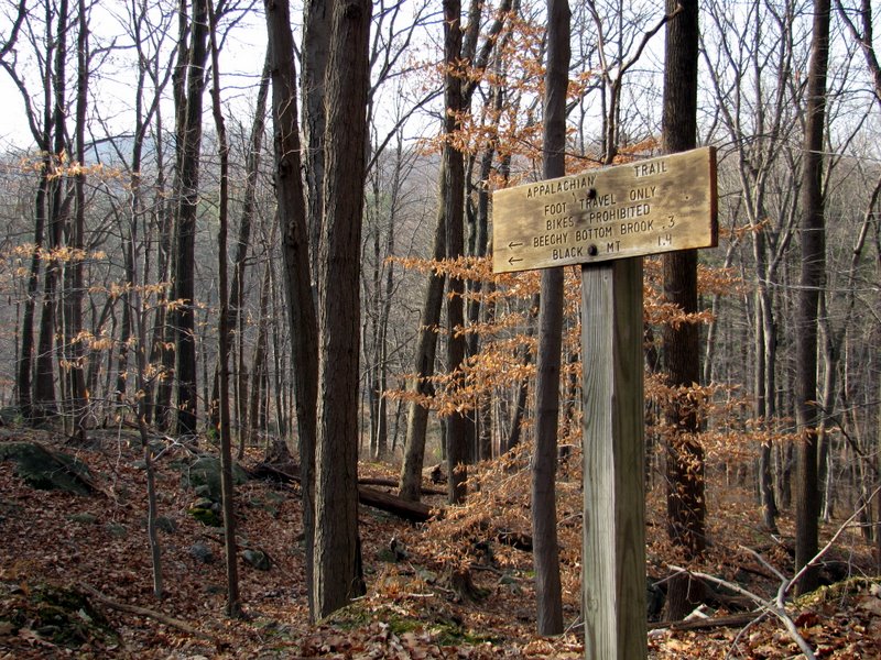
 AT intersection marker |
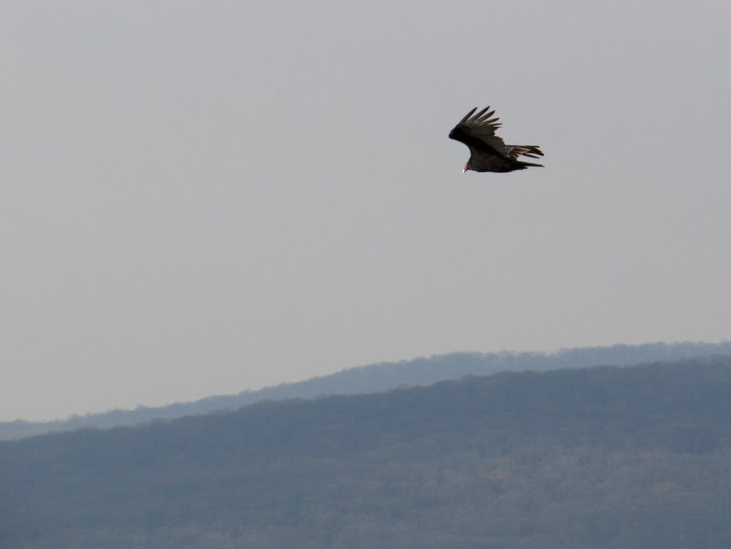 Turkey vulture |
 Anthony Wayne parking lot |
 View NW from AT |
 AT looking north |
 But we headed south |
 View SW |
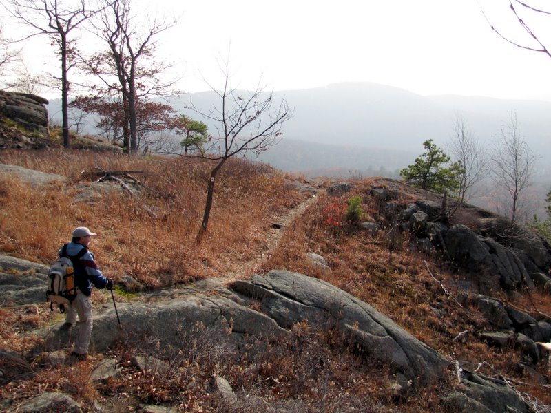
 Relentless rocky descent |
 Back to bike/ski trail |
 Mountain Laurel thicket |
 Majestic pines |

|
|
Photographs and content copyright © Dan Balogh Web design by Dan Balogh |