 |
|
For the fifth time this young year we returned to the Pequannock Watershed, this time to do a loop of my own invention at least 75% of which we had never hiked
before. Today we hiked along the ridge of Bearfort Mountain just south of Stephens Road, an unpaved road which cuts through the mountain from Union Valley Road (at
its eastern end). The park land north of the road belongs to Wawayanda, while the land south to the Pequannock Watershed. I assume that this is the road used by those
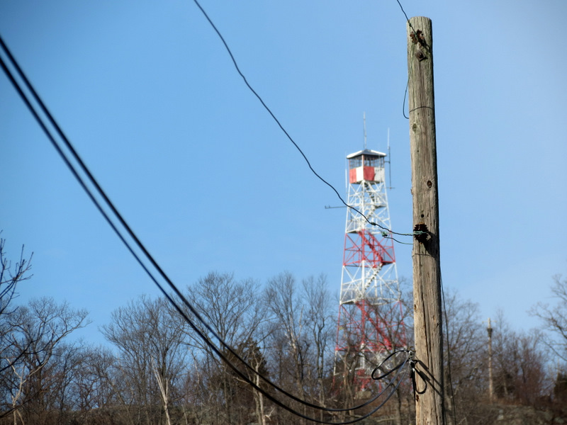
who man the Bearfort Fire Tower.
We parked in watershed parking area P8, one of the larger of the watershed parking areas (large enough to hold 6-7 cars at least) and walked through the gate, beginning a steady climb up the closed part of Stephens Road. We next headed south on the white-blazed Hanks East trail which we took along the ridge with seasonal and partial views to the east. Next we made a right on the blue-blazed Newark Connector trail which we descended steeply west into the shoulder between two ridges of the mountain. We then headed north along the nicely graded white-blue-blazed Hanks West trail all the way back to Stephens Road, which we then took east back to the car. Total distance hiked today was 4.3 miles, in just over 2.5 hours. A permit is required for hiking in this area, which can be purchased at the office on Echo Lake Road. The permits are good for the calendar year.
|
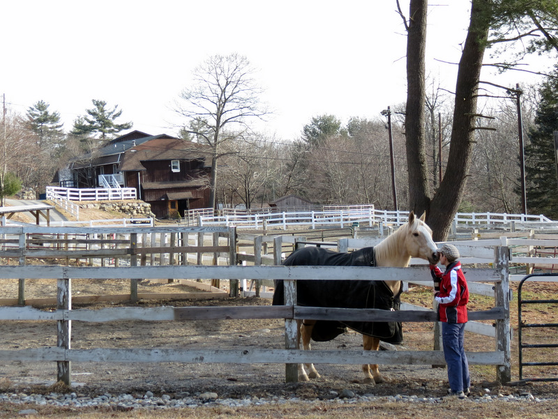 Horse at Pine Ridge Equestrian Center |
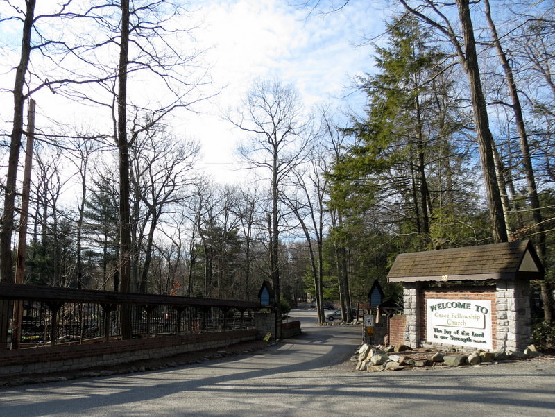 Grace Fellowship entrance |
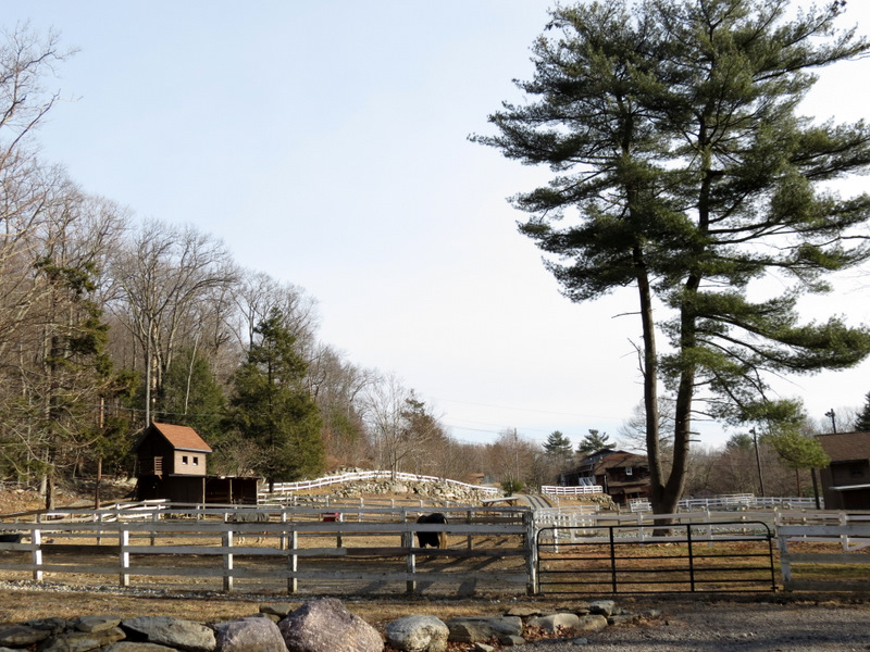 Pine Ridge Equestrian Center |
 An elusive red fox! |
 Looking east on Stephens Road |
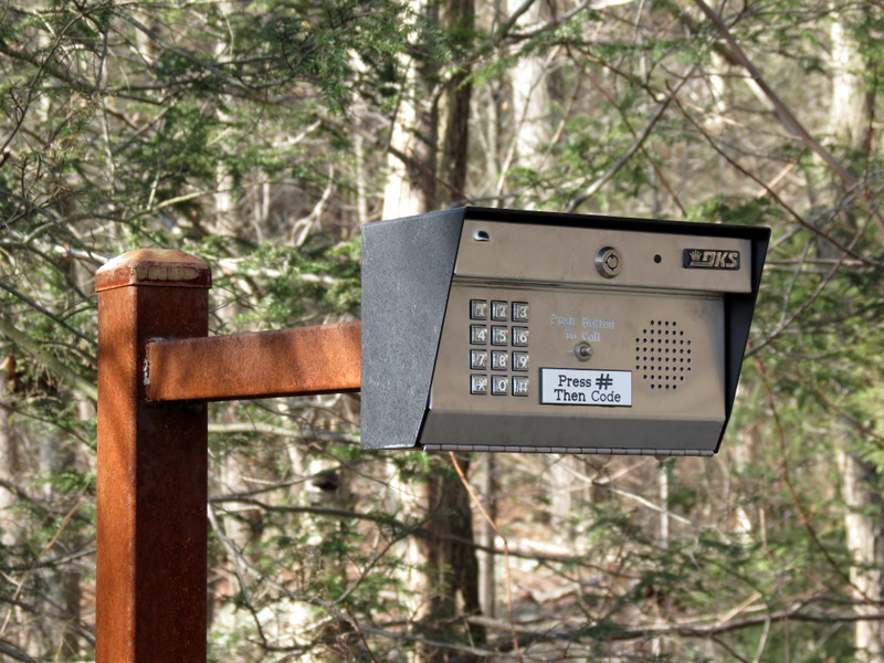 Gate keypad |
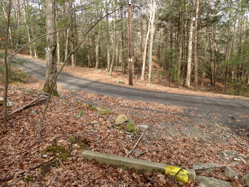
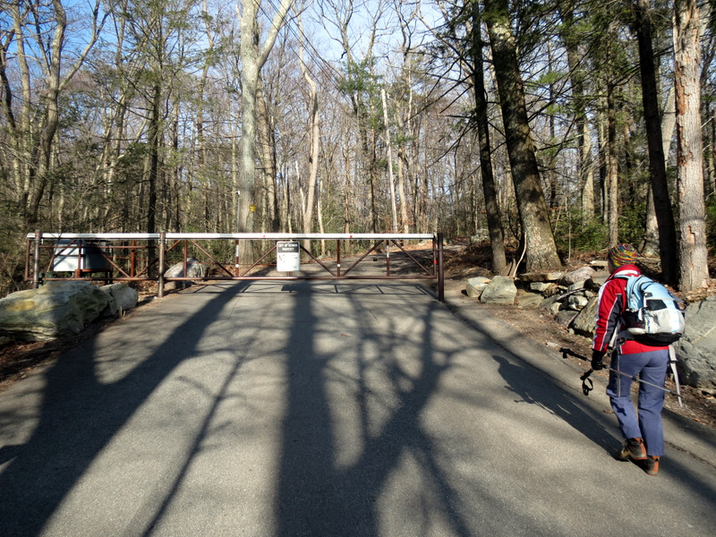 Gate on Stephens Road |
 Surveillance camera |
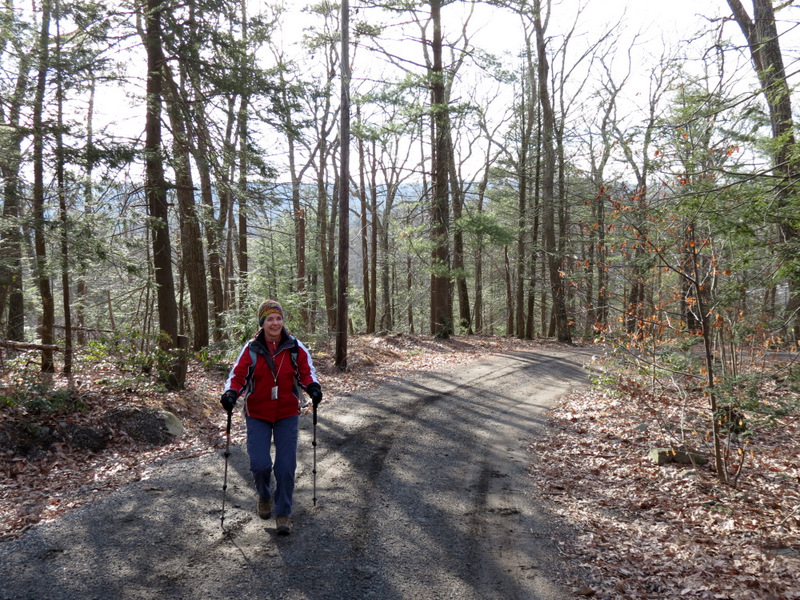 Ascending Stephens Road |
 |
 |
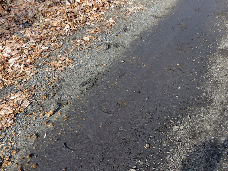 Horse prints on Stephens |
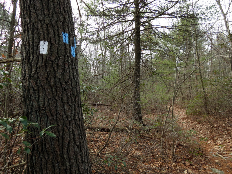
 Trailhead for Hanks East trail |
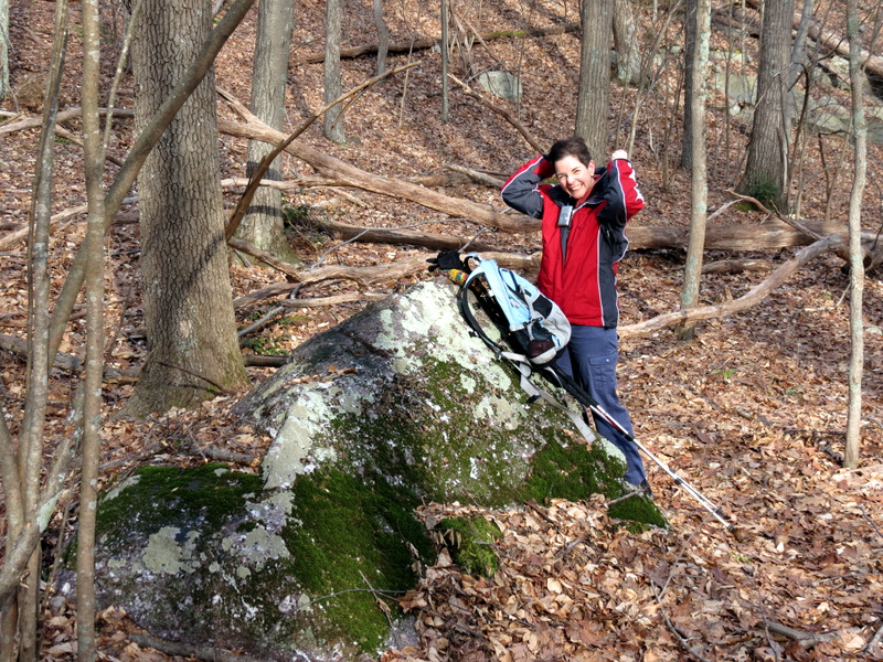 Time to de-layer |
 |
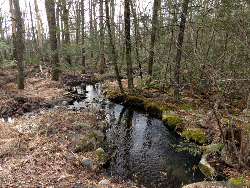
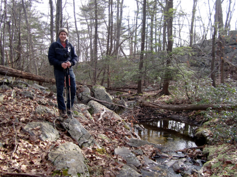
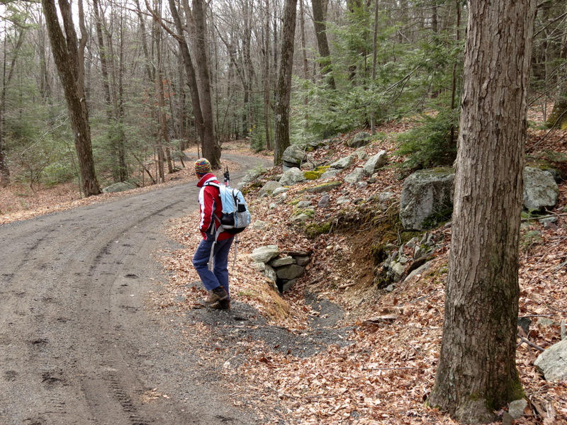
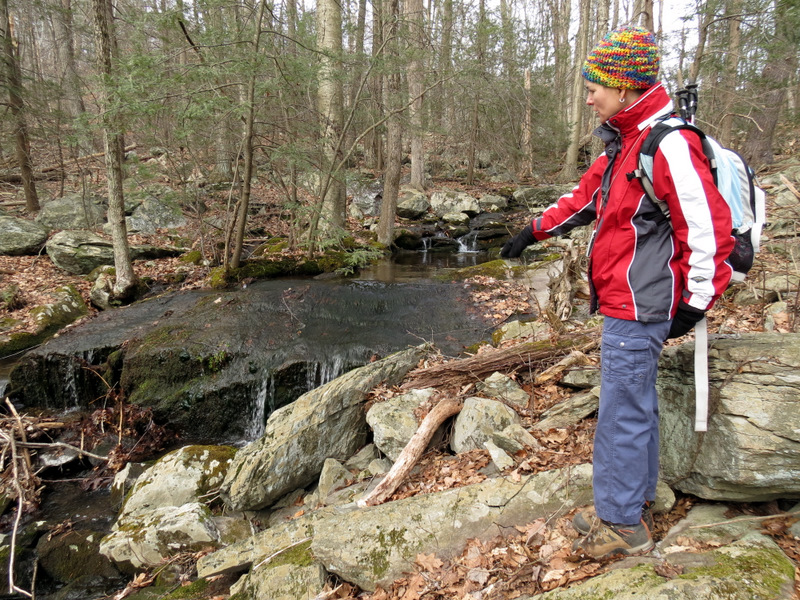
 Stream |
 Rock hopping over stream |
 [Photo by Laura] |
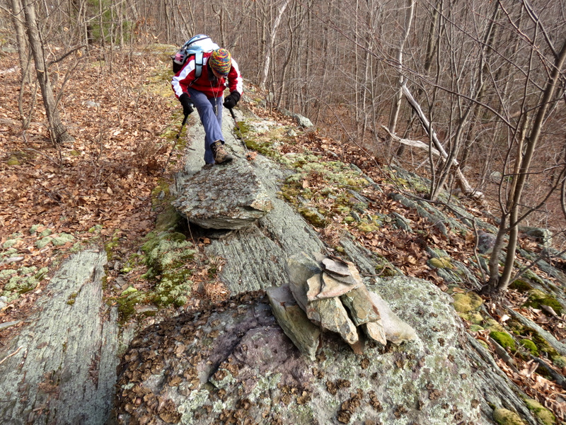
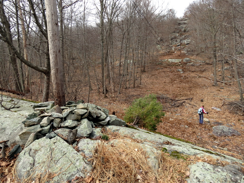
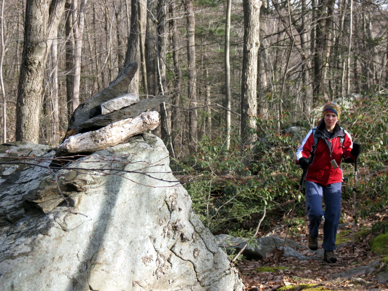 Cairn |
 Jagged rocks |
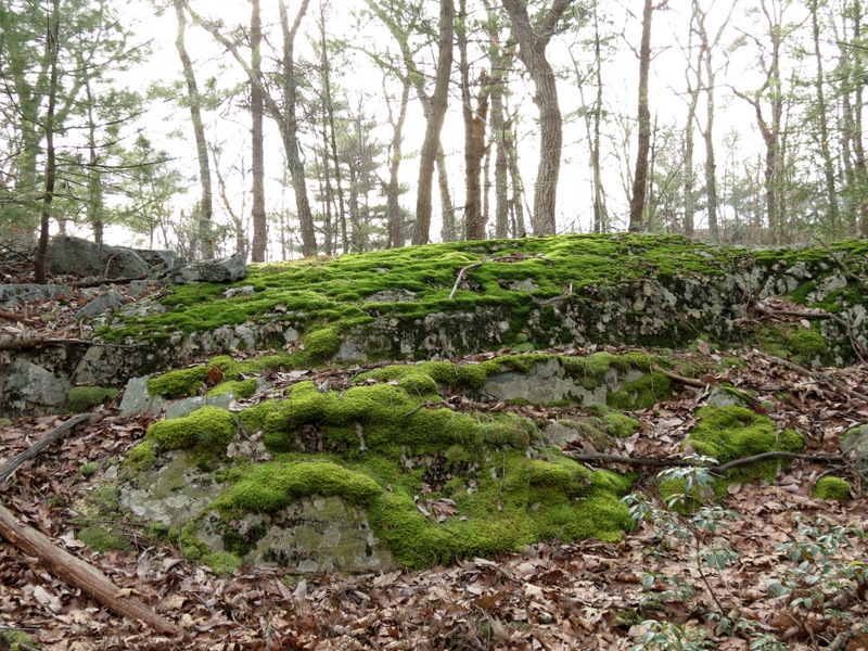 Gorgeous moss |
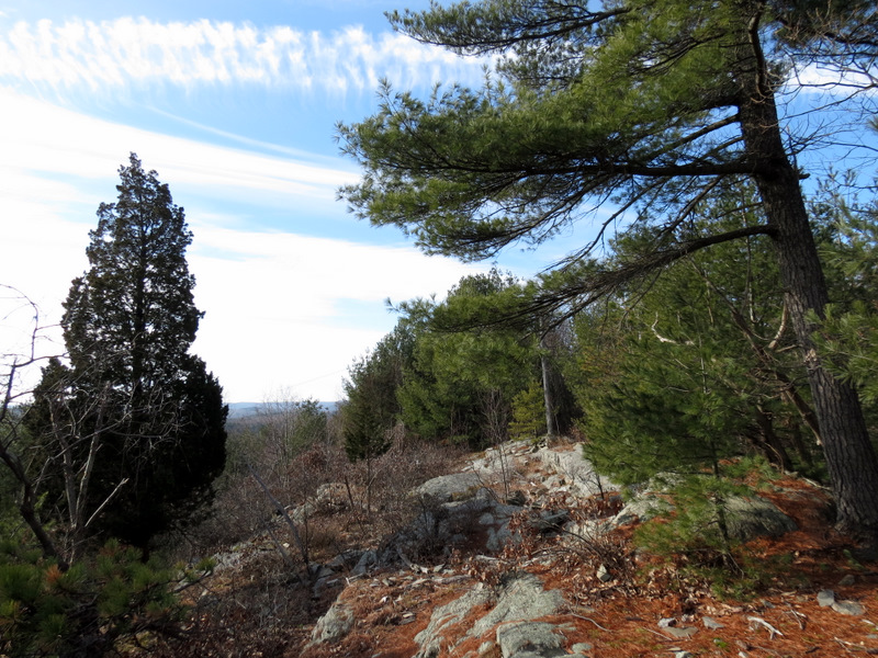
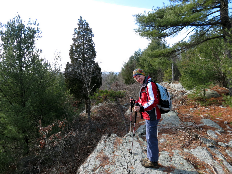
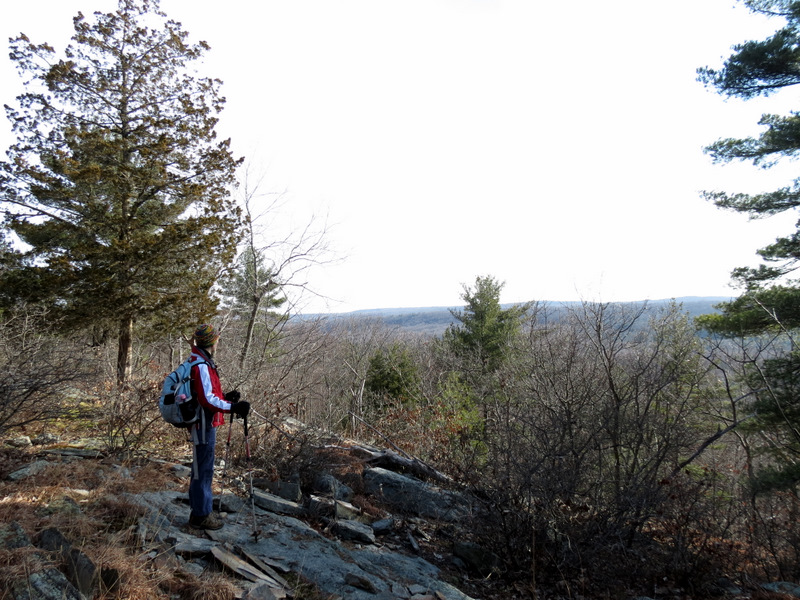
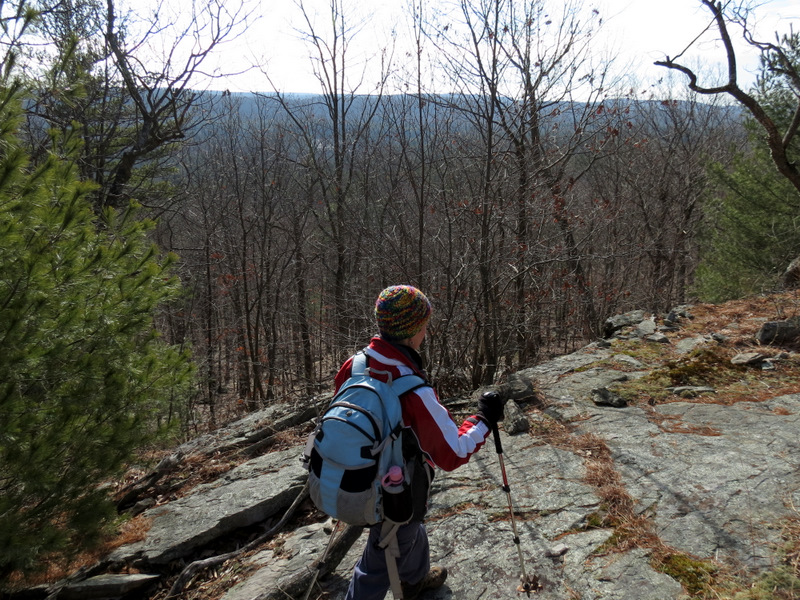
 Partial views east |
 |
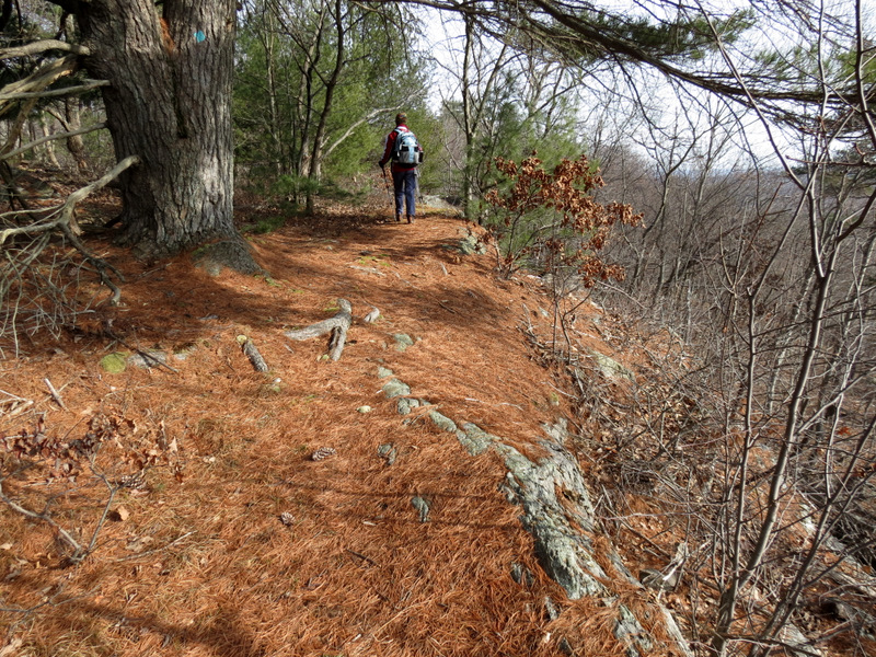
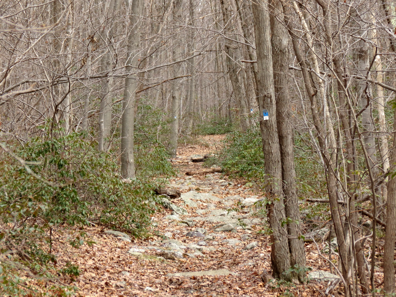
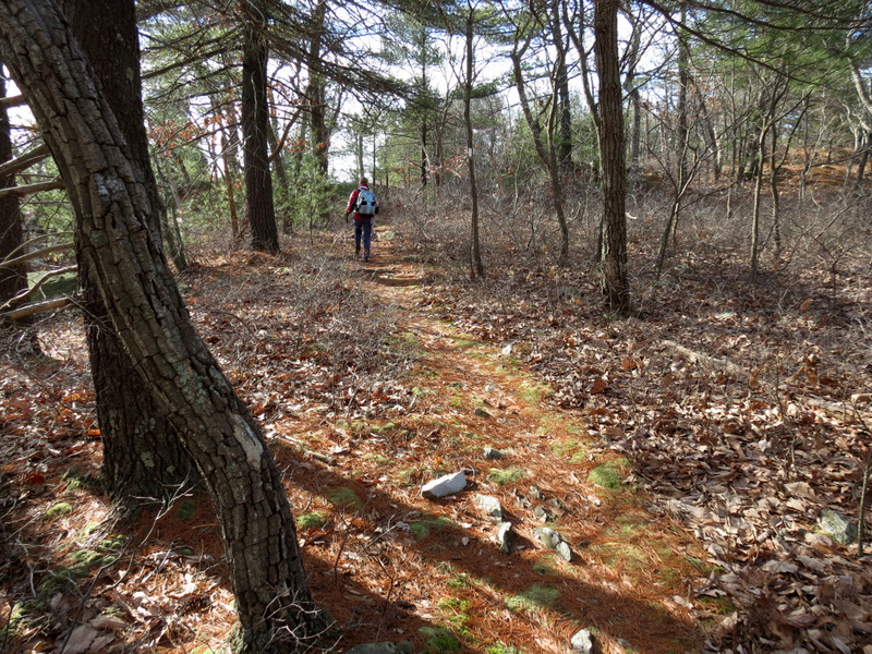 Pine needle path |
 |
 |
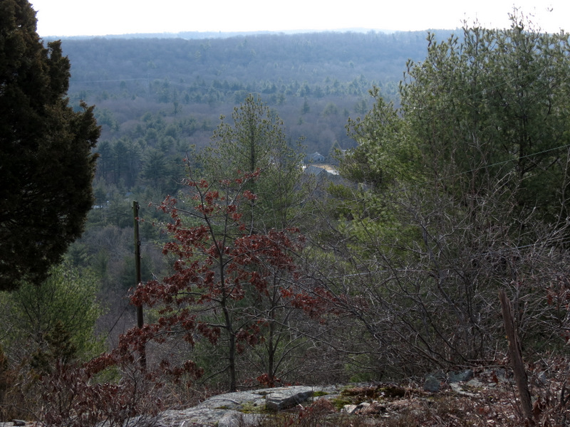
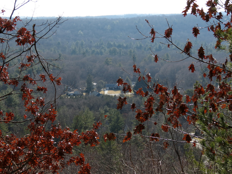
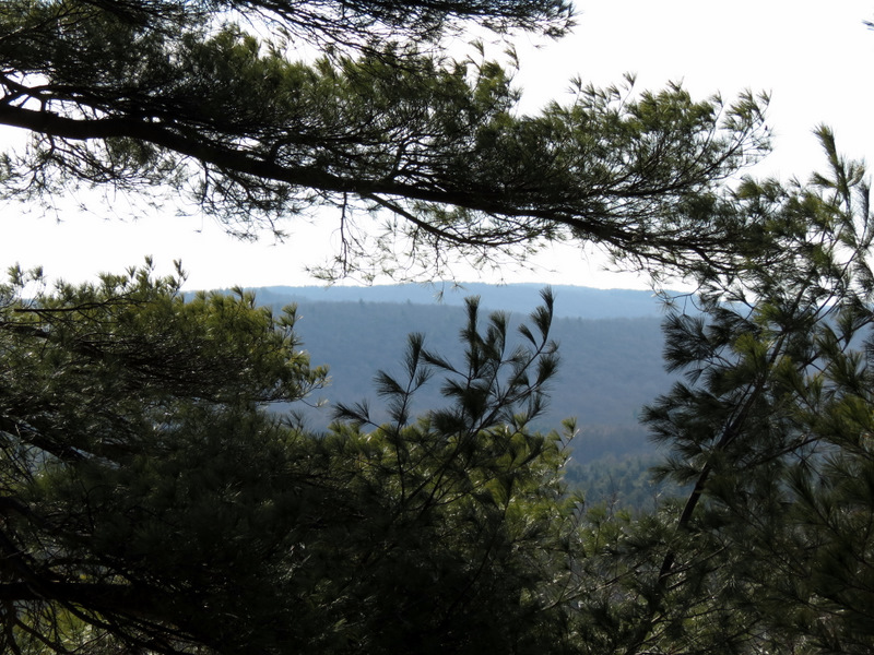
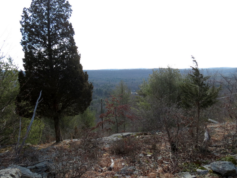 View east from lookout |
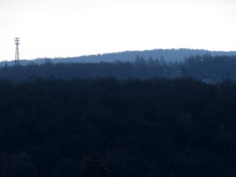 Distant cell tower |
 [Photo by Laura] |
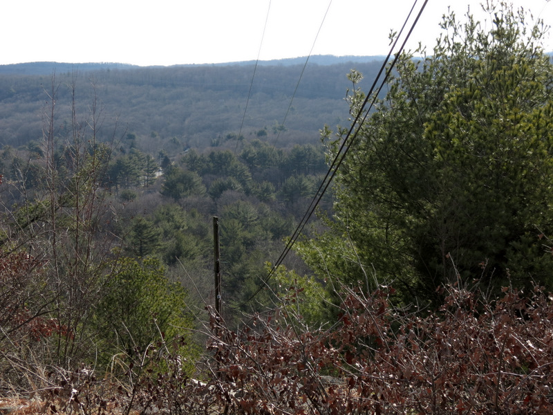
 View east |
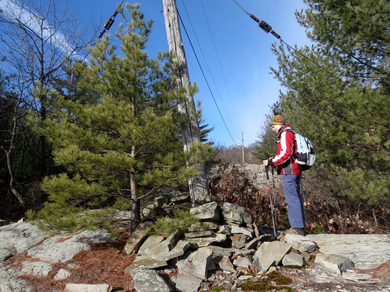
 Telephone line to fire tower |
 Telephone line heading east |
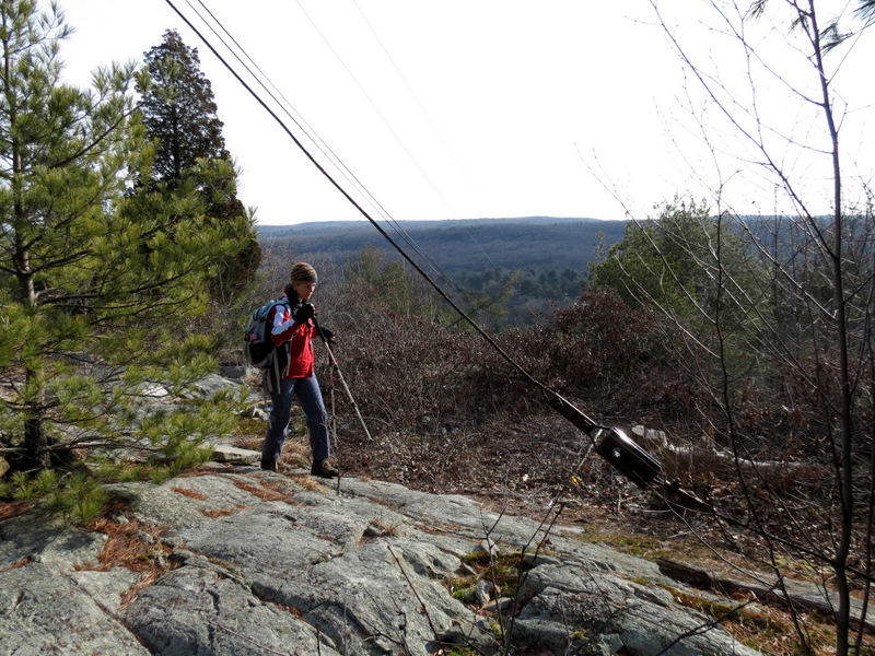
 Laura at ... |
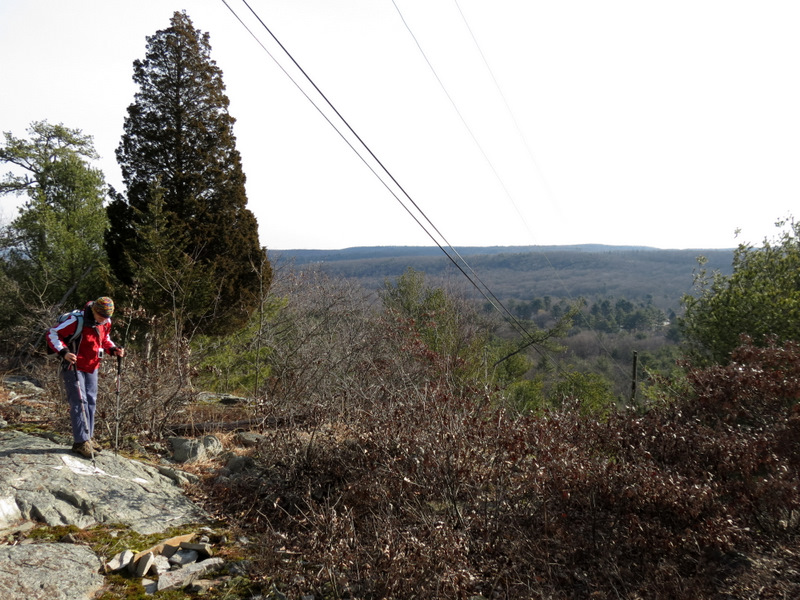 ... the line cut |
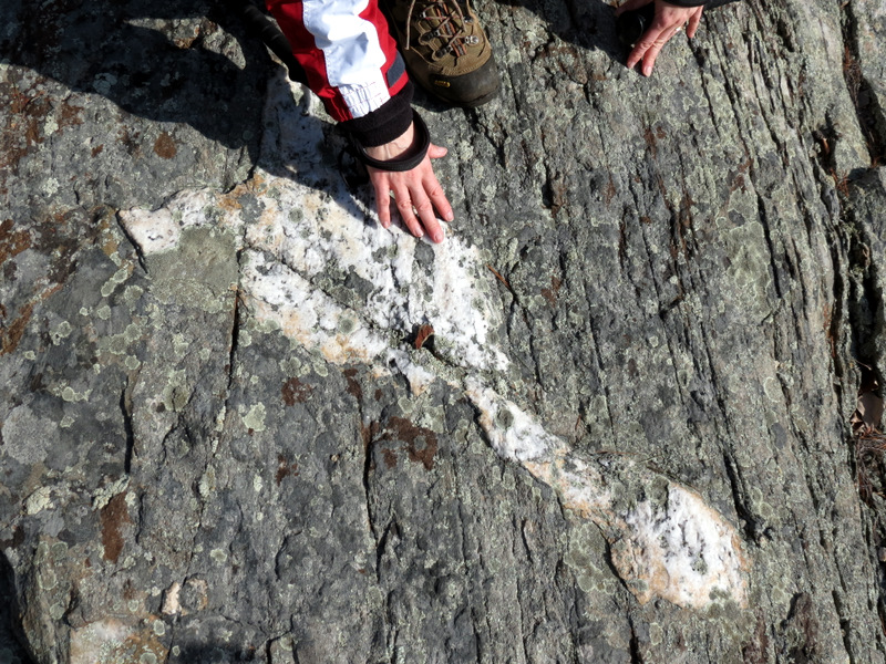 Quartz streak |
 Slate |
 |
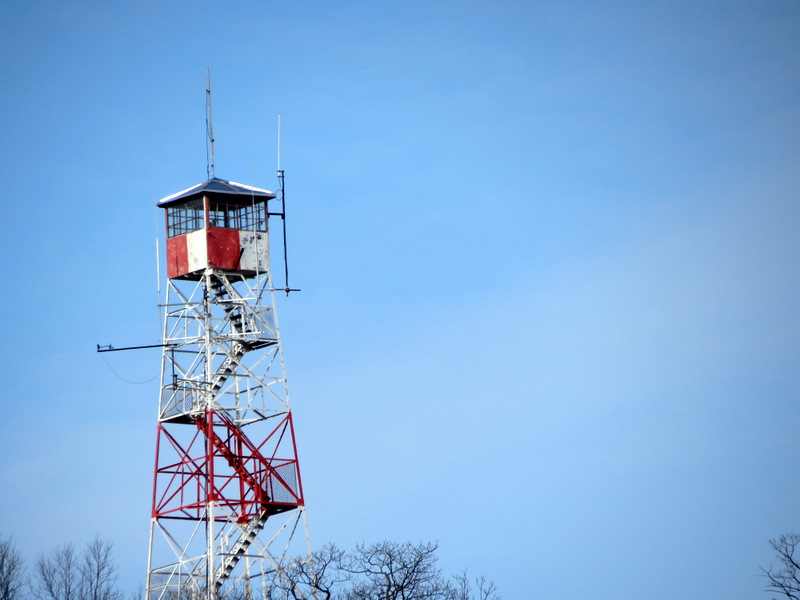 Zoom of fire tower |
 Cables |
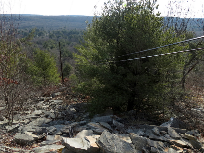
 In the cut |
 View east |
 Jagged ridge |
 Mossy ridge |
 Partial view ... |
 ... at intersection ... |
 ... with Highlands trail |
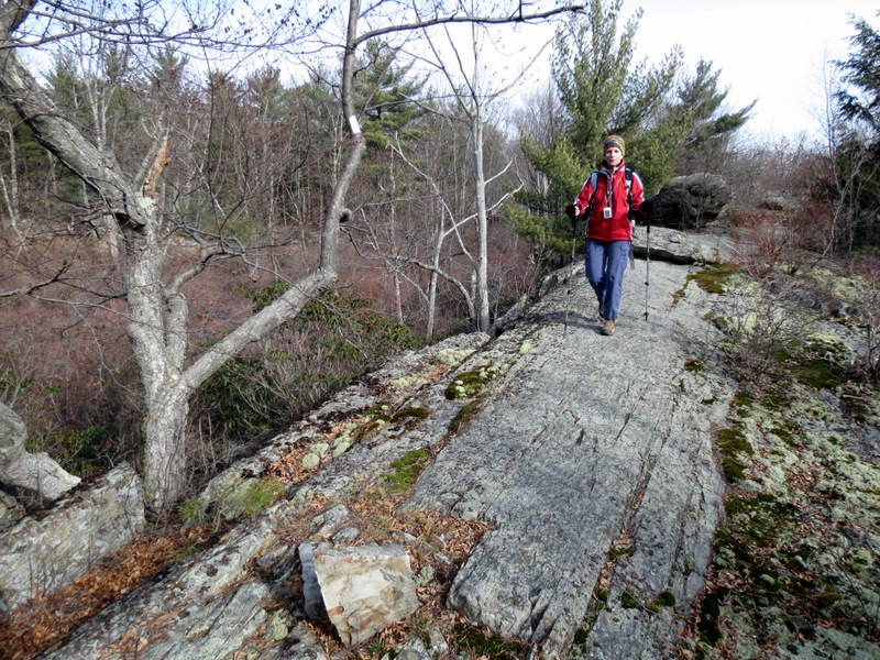
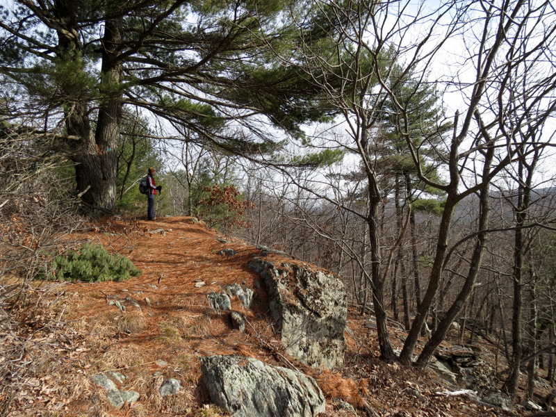 Pine needle path ... |
 ... on Highlands trail |
 |
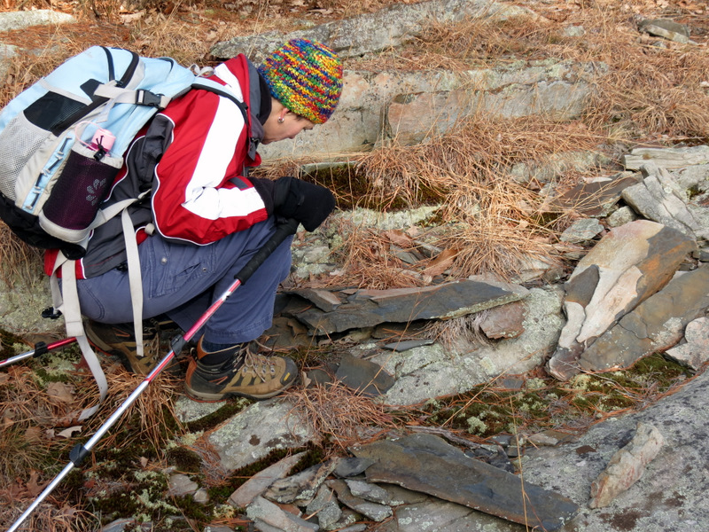 Slate |
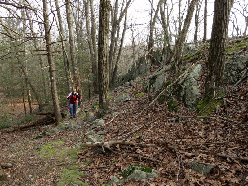
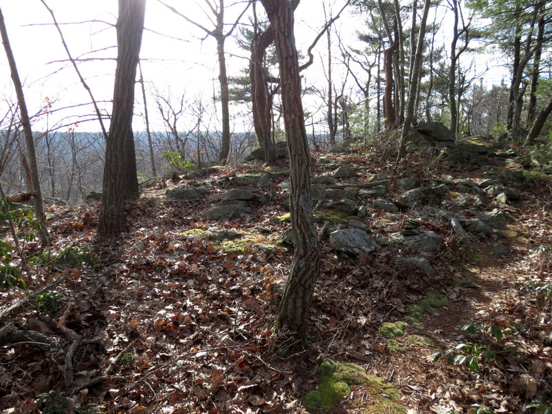
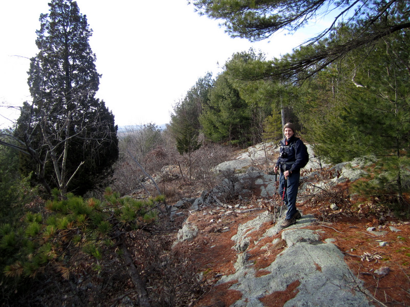
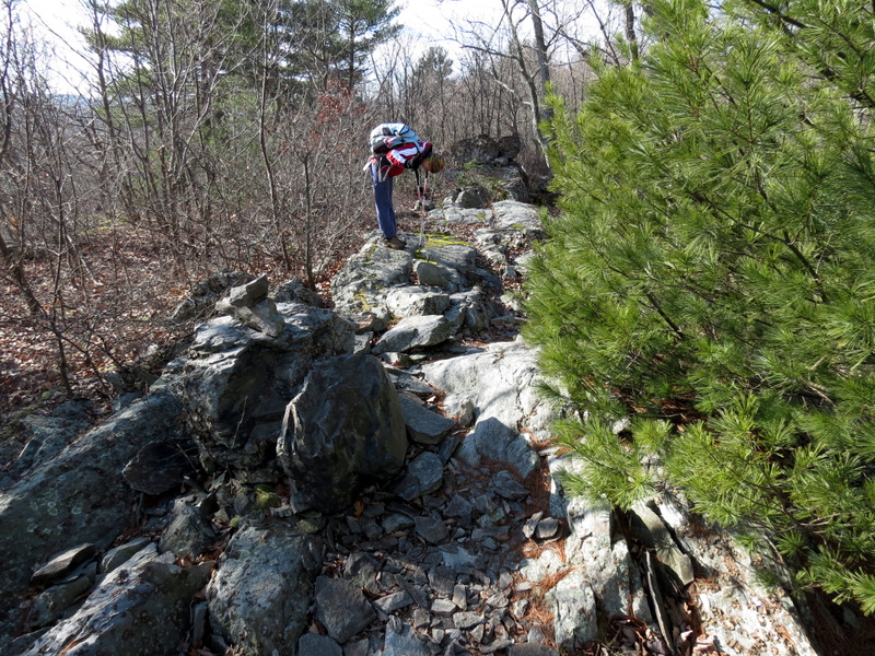
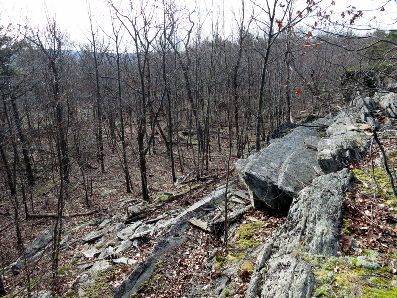
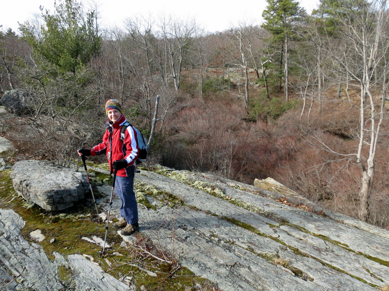
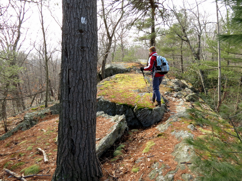
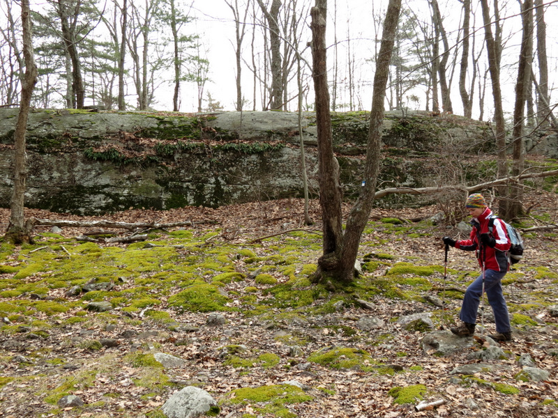
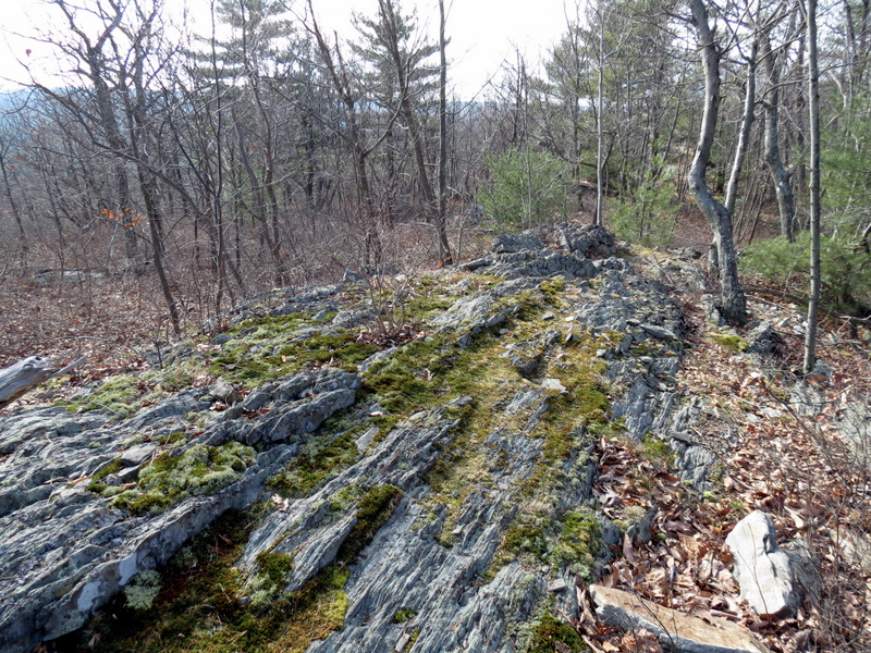 Beautiful ridge |
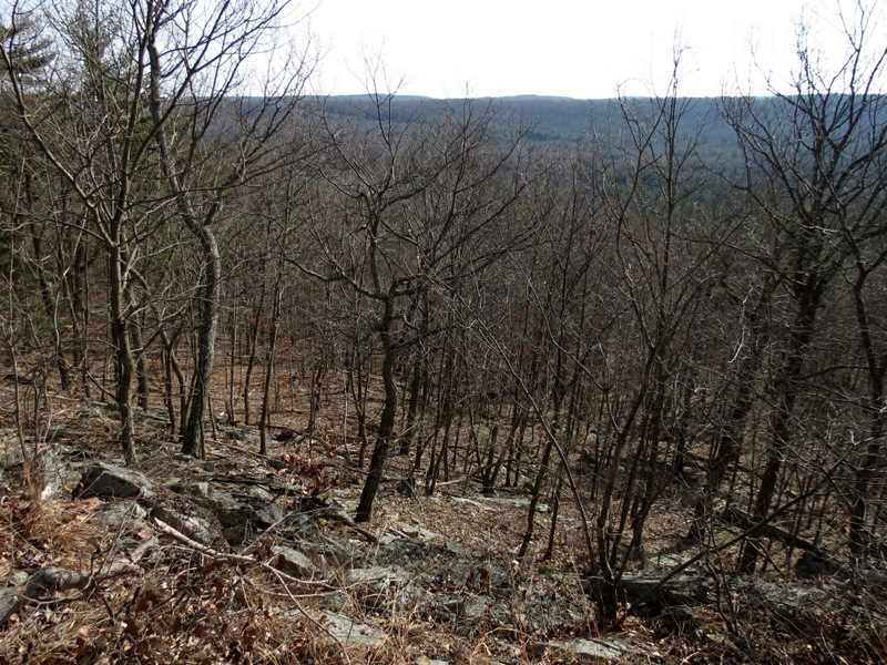
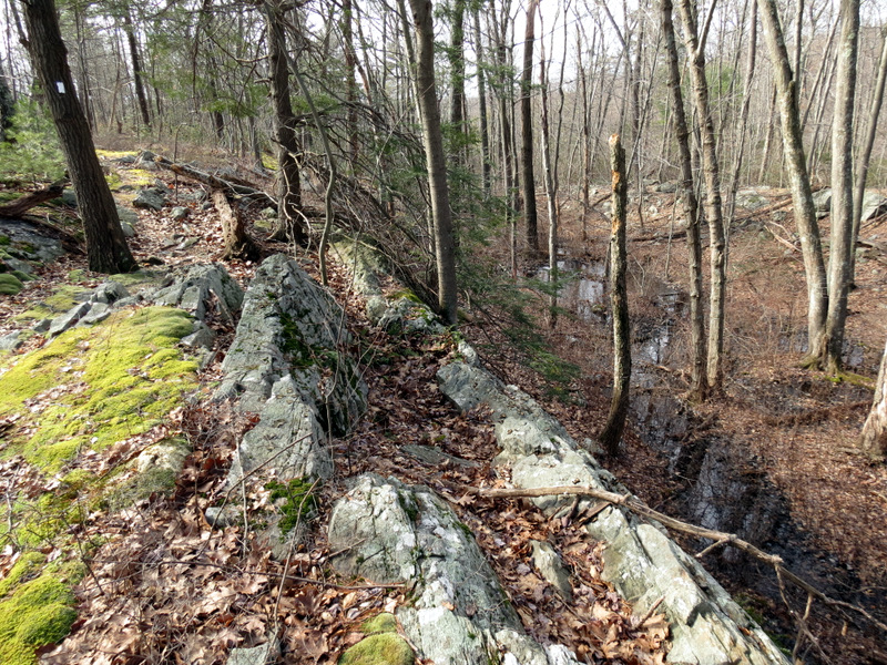 Swamp west |
 |
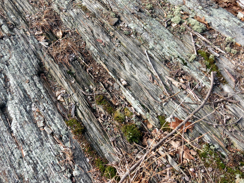 Rock looks like wood! |
 Close-up |
 |
 |
 |
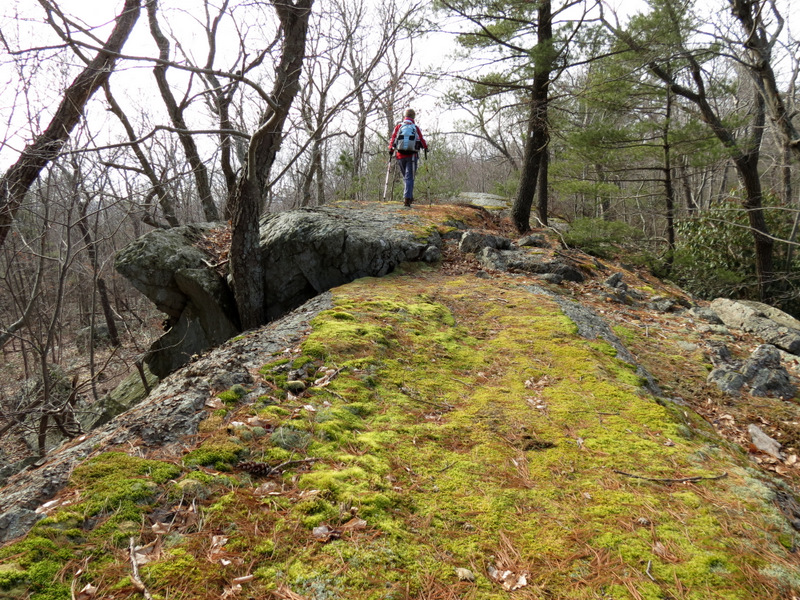
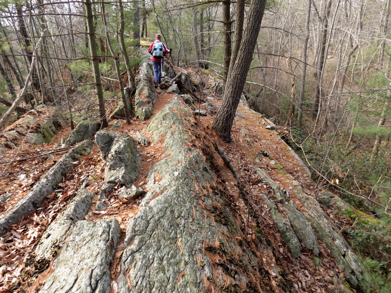 Ridge is narrow ... |
 ... in spots |
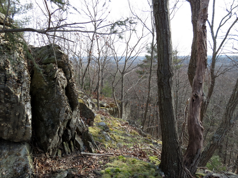
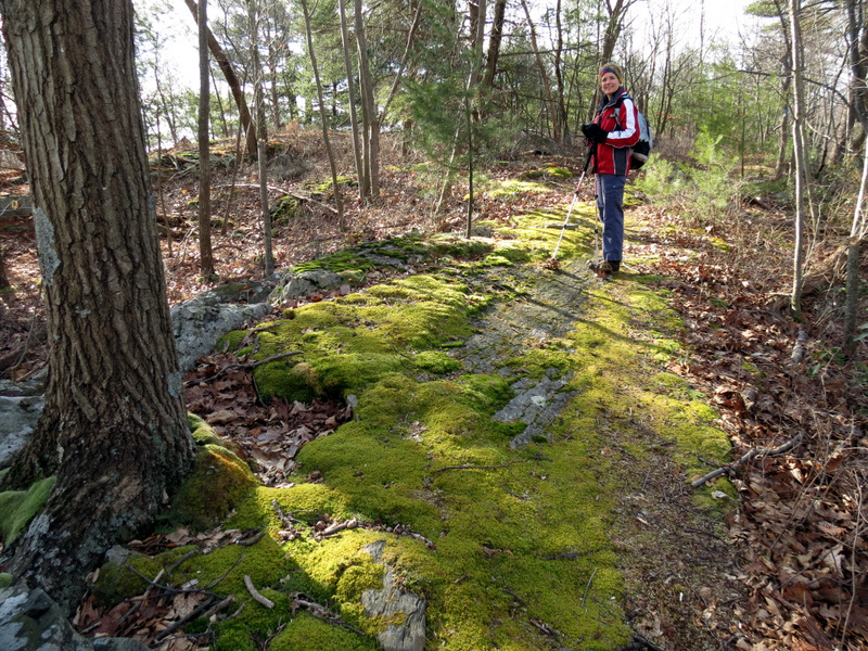
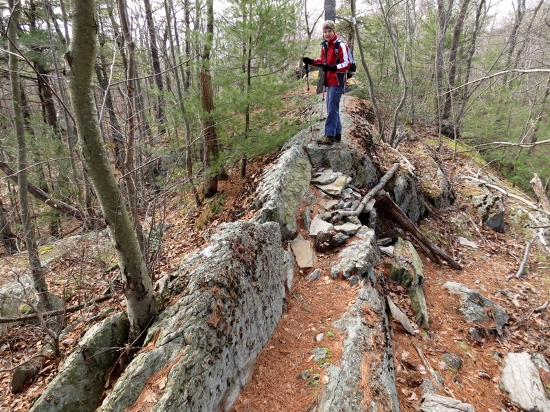
 Lovely mossy ... |
 ... jagged ridge |
 Descending |
 [Photo by Laura] |
 Newark Connector trailhead |
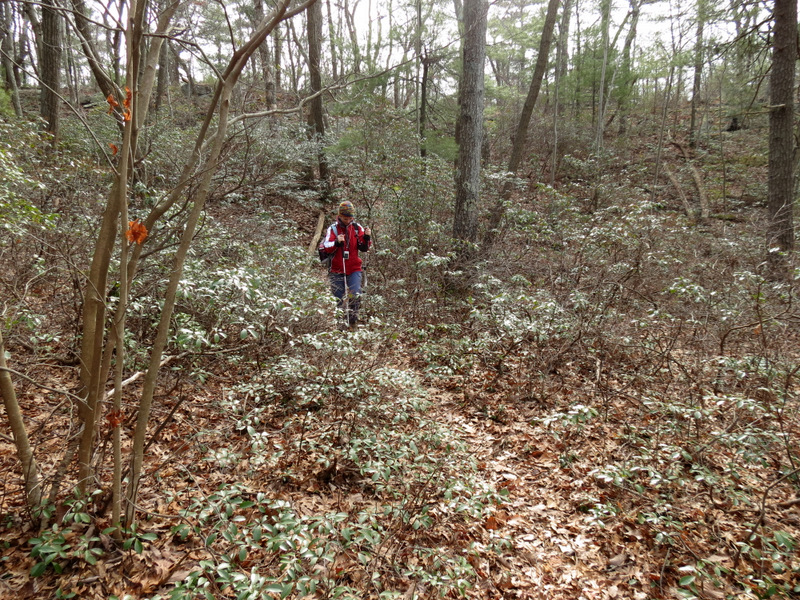 Mountain Laurel thicket |
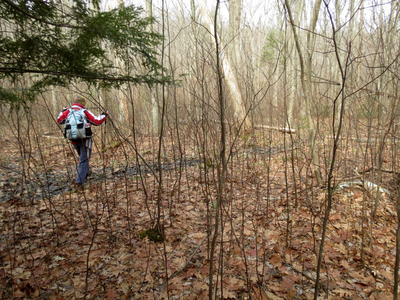
 Loads of saplings |
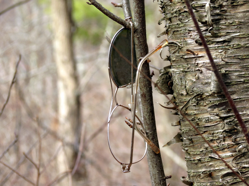 Spectacles |
 |
 |
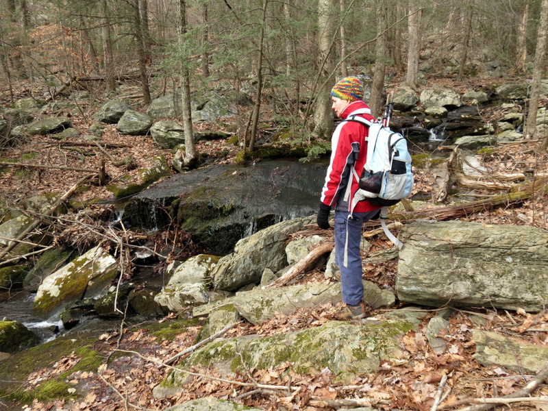
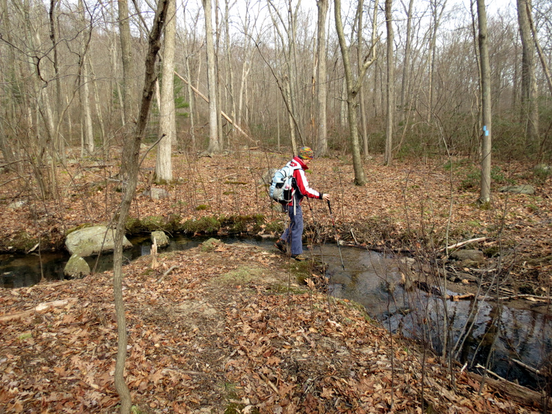 Creek on Newark ... |
 ... Connector trail |
 |
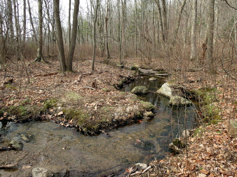
 Stream |
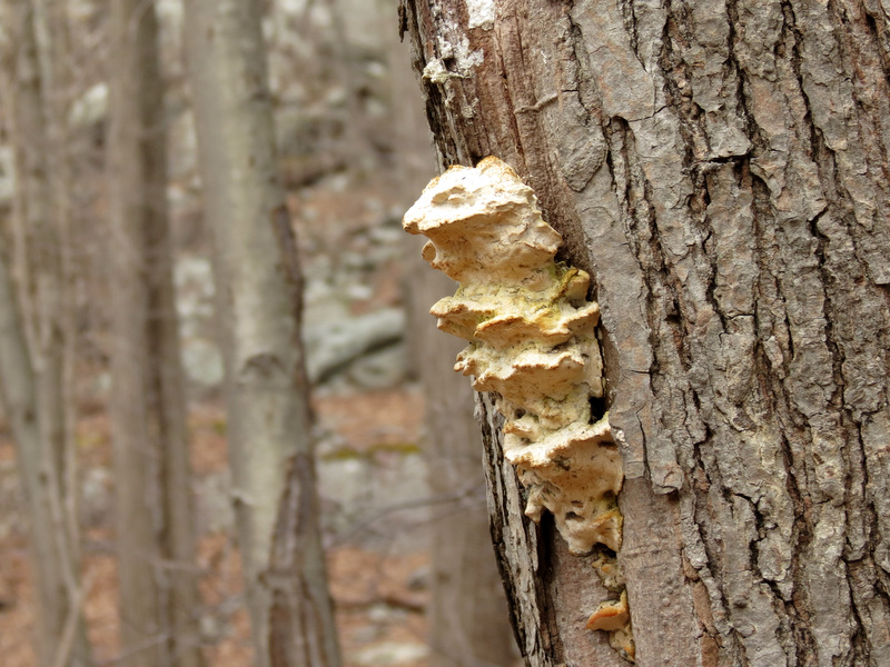 Fungus |
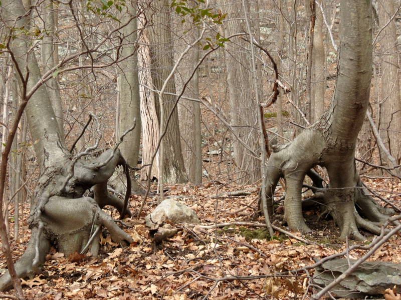 Unusual tree trunks |
 |
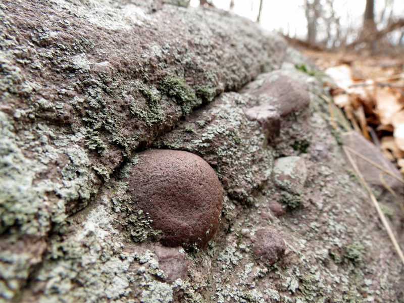 Puddingstone close-up |
 View north on Hanks West |
 Telephone line cut on Hanks West |
 Fire ring |
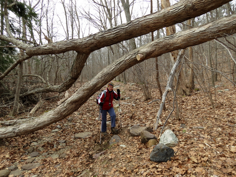 Huge blow-down |
 Back to Stephens Road |
 Heading down |
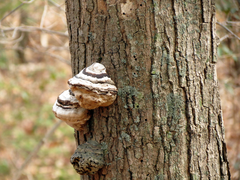 Interesting fungus |
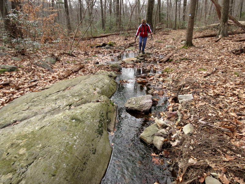
 Stream just off ... |
 ... Stephens Road |
 Steep stretch of Stephens Road |

|
|
Photographs and content copyright © Dan Balogh Web design by Dan Balogh |