 |
|
I came up with this lollipop hike in real time. We were prepared to climb Big Beech Mountain by going north along the Highlands trail from Route 511
in West Milford and then turn around and just head back to the car (in fact, this is the exact path of a hike in at least
two hike books for this area). But we were making such good time I decided to add more to it. Here's what we did.
Travel north on the Highlands trail from Route 511 (just west of the visitor's center on 511, in a dirt lot on the south side of 511). Eventually make a left on the yellow-blazed Jenning Hollows trail. At the fork (the trail goes both left and right, being a loop from this point), turn right, continuing along the Jenning Hollows trail. Near the northern most tip of the trail, and a bit after a crossing of Jennings Creek at a very beautiful part, take an unblazed path to the right (marked, just at the beginning, by blue Xs on trees on both sides). Travel on this for just about five minutes and then make a right onto the the Lake-to-Lake trail (blazed with a horizontal red line against white background). Take this to the Highlands trail, making a right. Now travel south along the Highlands trail along the ridge of Big Beech Mountain. Take this trail all the way back to Route 511. This hike actually begins in NJ, goes into NY (Sterling Forest), then back into NJ, then NY and then finally back into NJ! I'm not sure how long it is (at least 7 miles) but it took us a bit over 4 hours (not including lunch). (Click on the thumbnail to bring up a bigger image in a pop-up window)
|
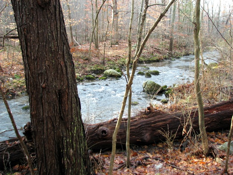 Hewitt Brook near Rt. 511 |
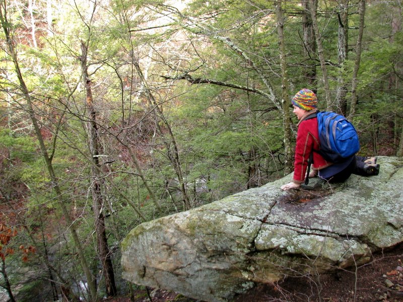
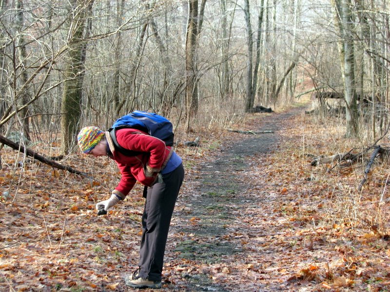 Found an interesting rock |
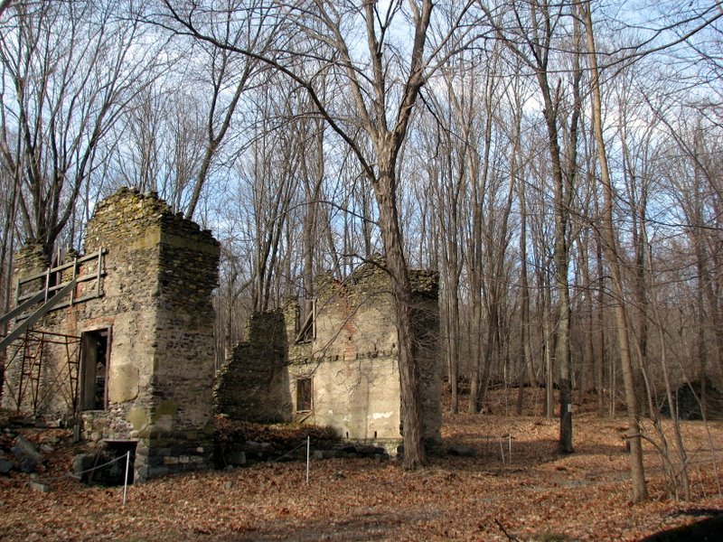
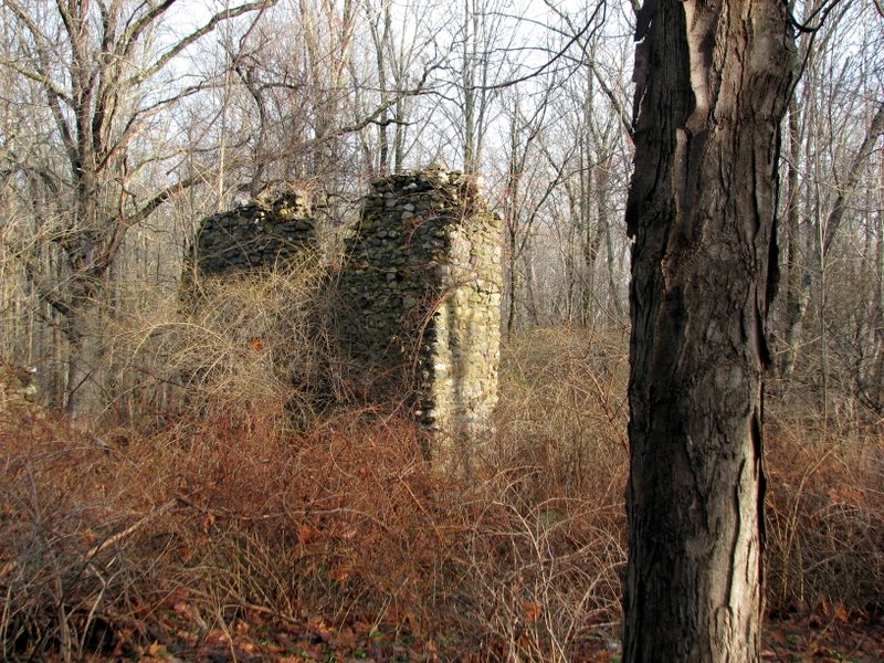 Building ruins on Highlands Trail (HT) |
 |
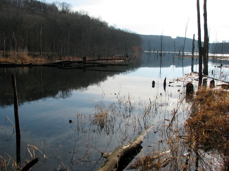
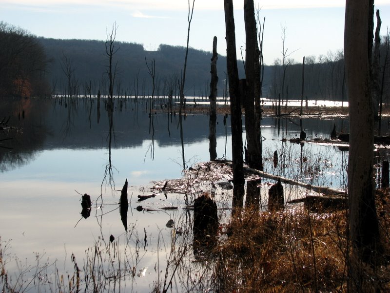
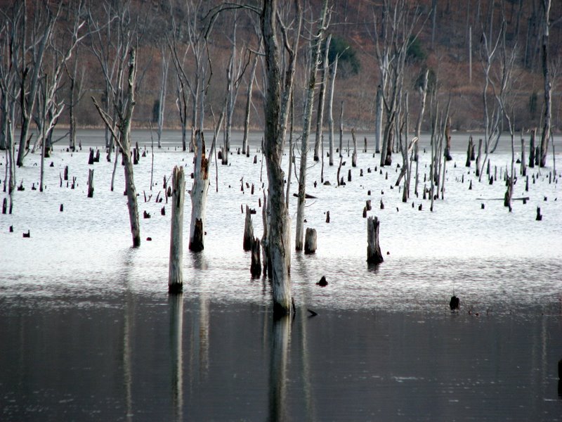
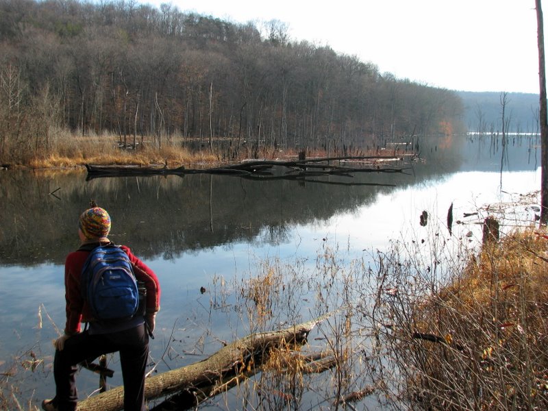 Monksville Reservoir |
 |
 |
 |
 Wanaque River overlook off HT |
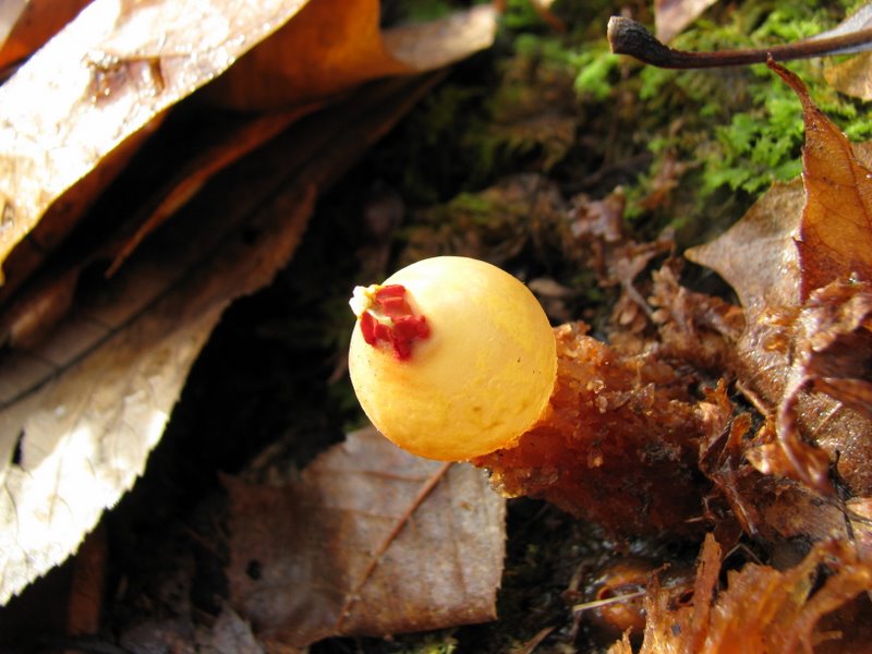
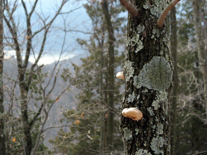
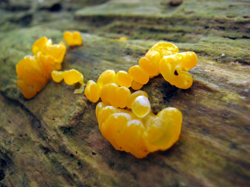 Super-macro of tiny mushrooms |
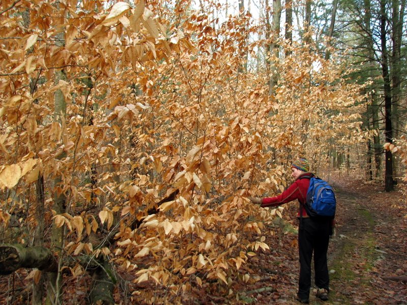
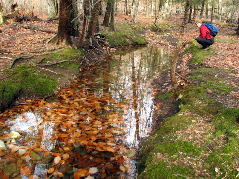
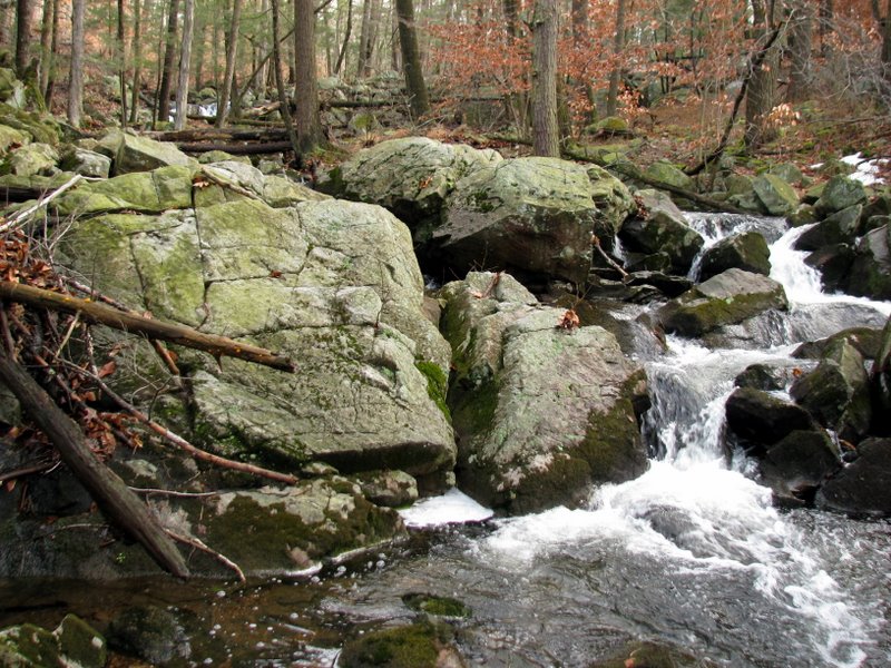
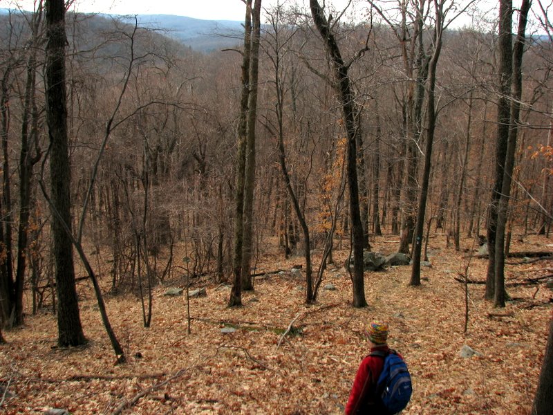
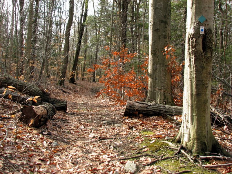
 On the Jenning Hollows trail |
 |
 |
 |
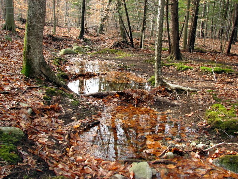
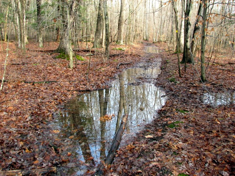 A very wet trail |
 |
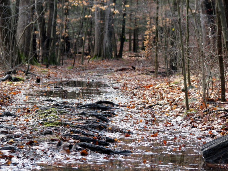 It poured the previous day |
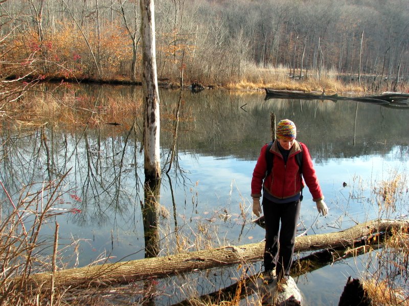
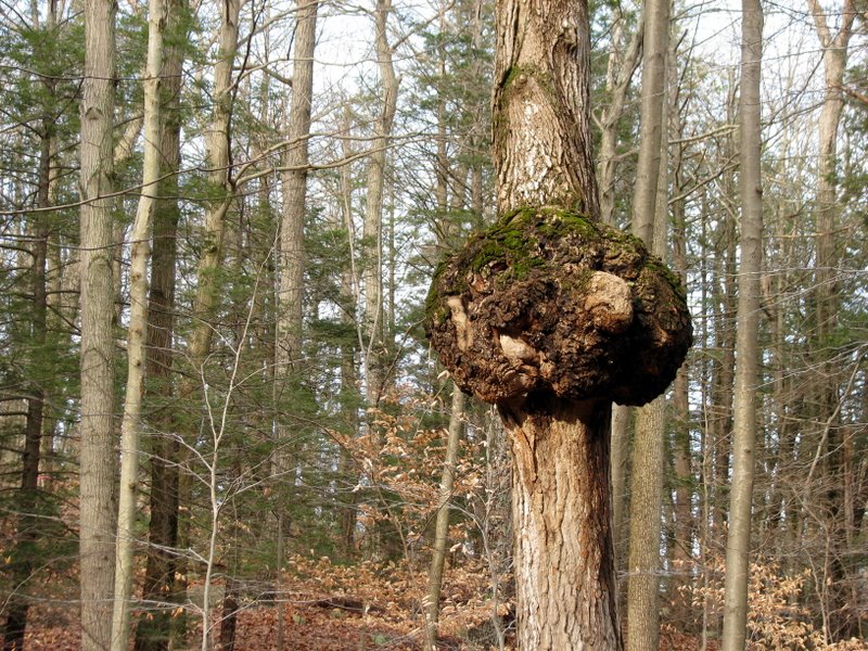
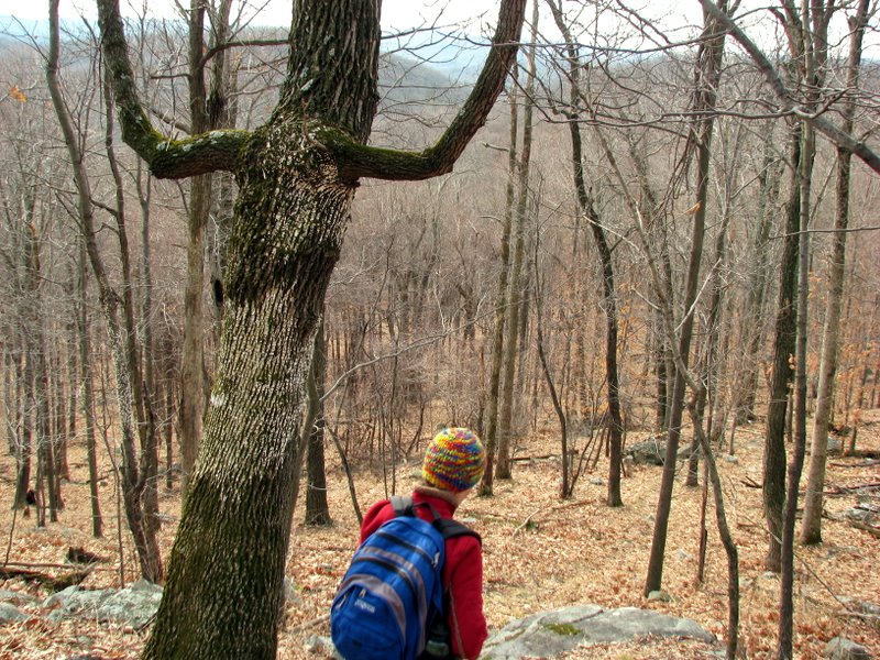
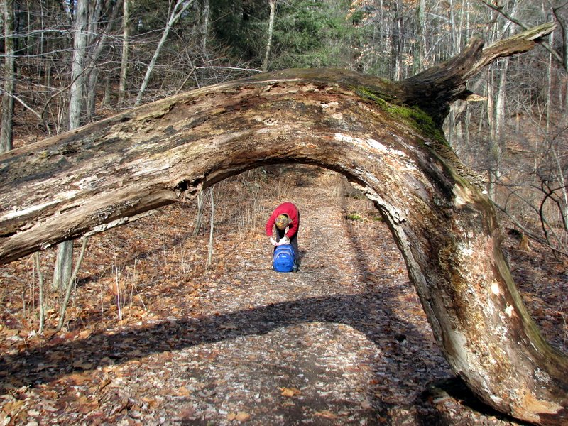
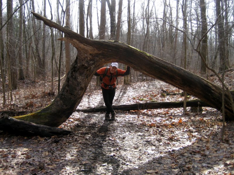
 Tree balancing |
 |
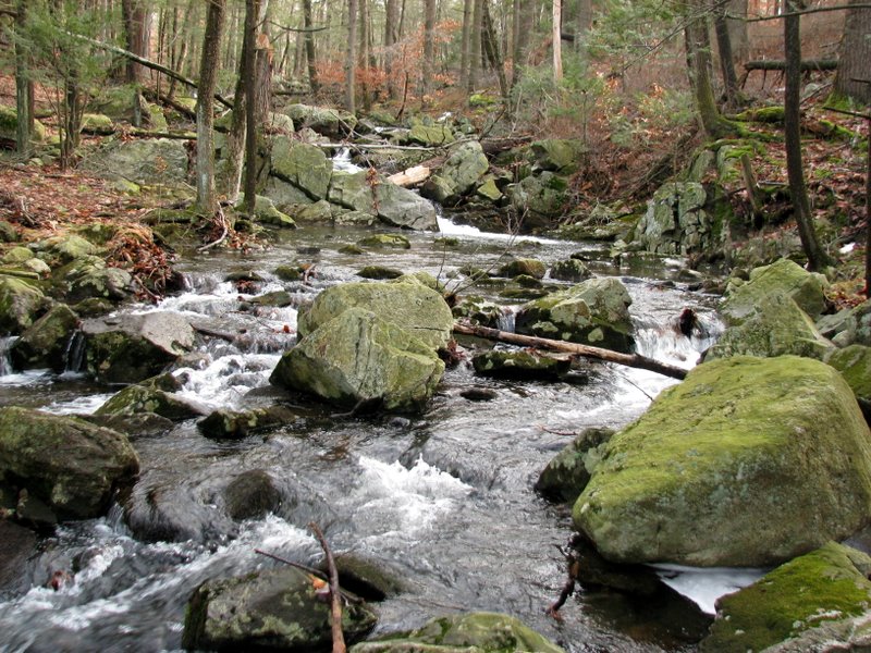
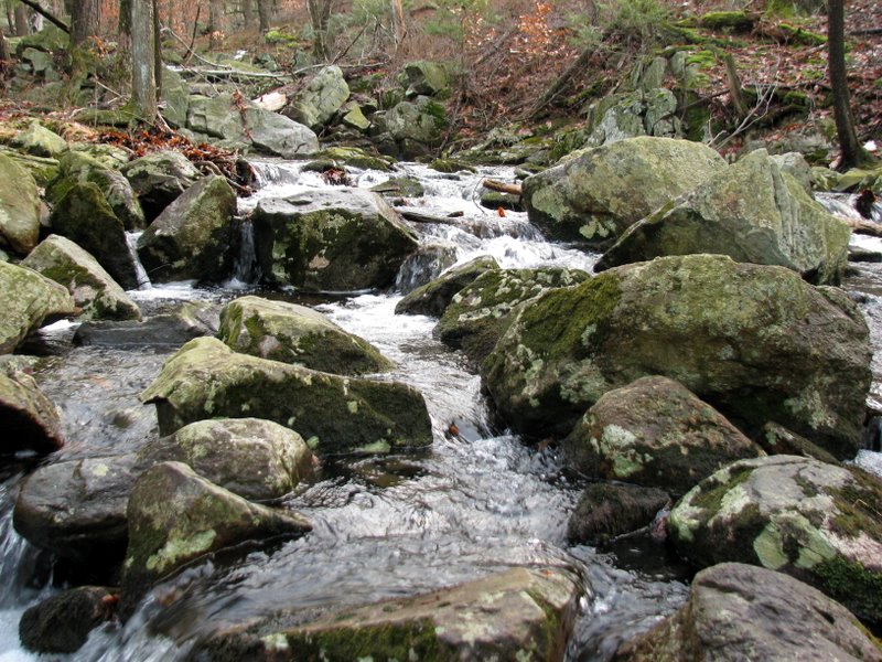
 Jennings Creek |
 |
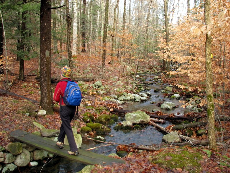
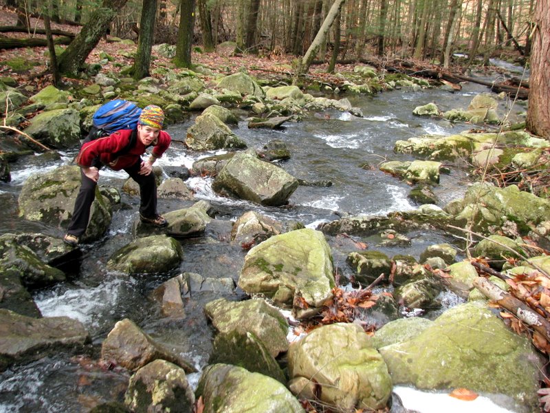
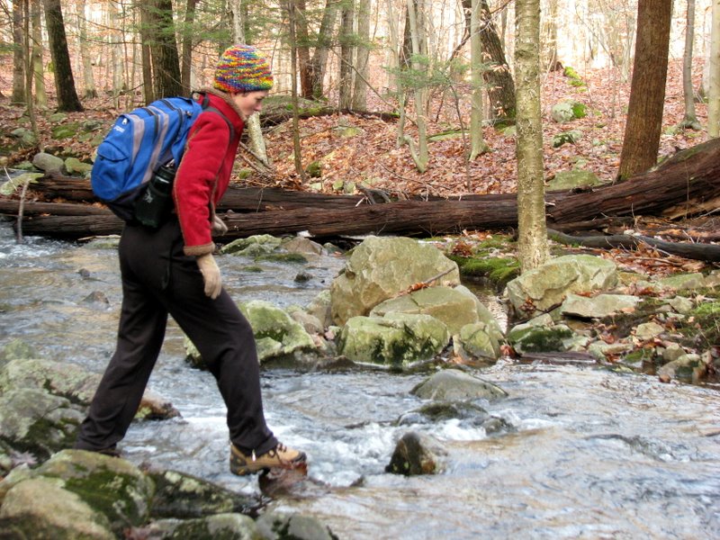 Jennings Creek crossing |
 |
 |
 |
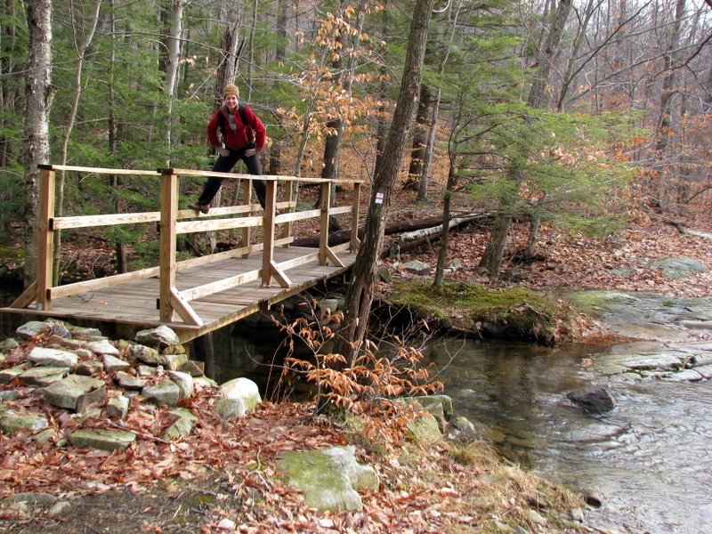 Bridge over Jennings Creek on Lake-to-Lake trail |
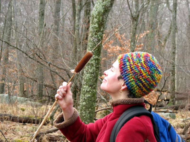 cat tails! |
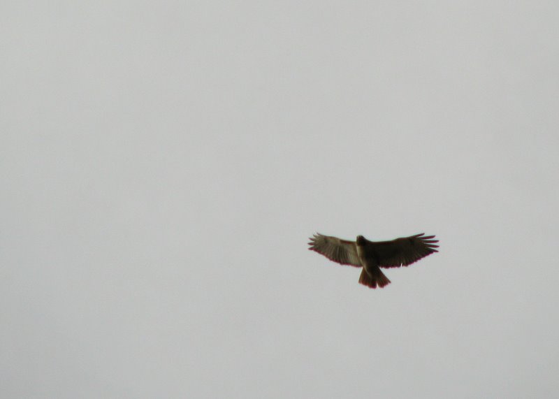 Interested hawk |
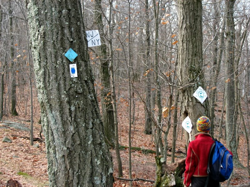 Crossing into NJ on Highlands Trail |
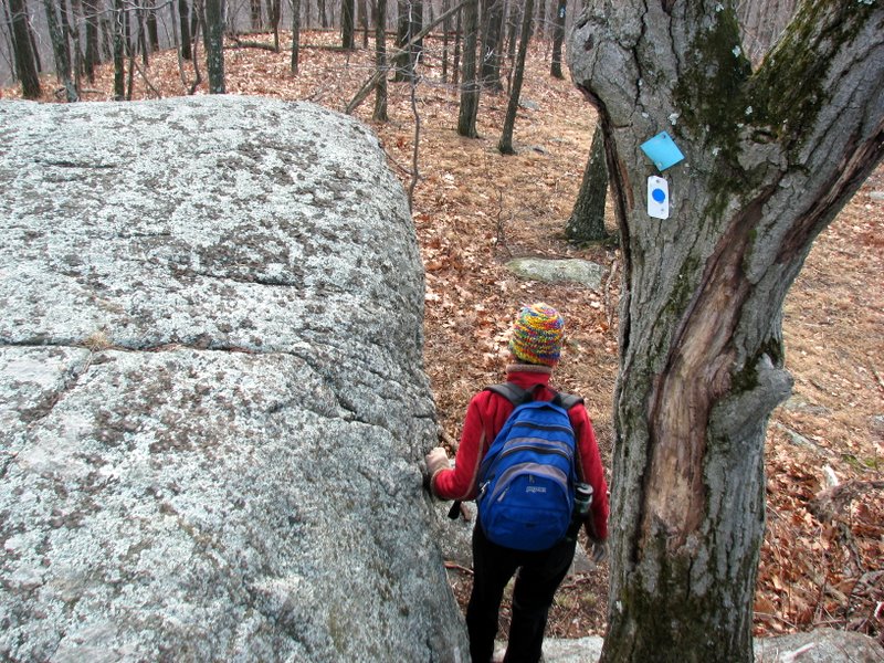
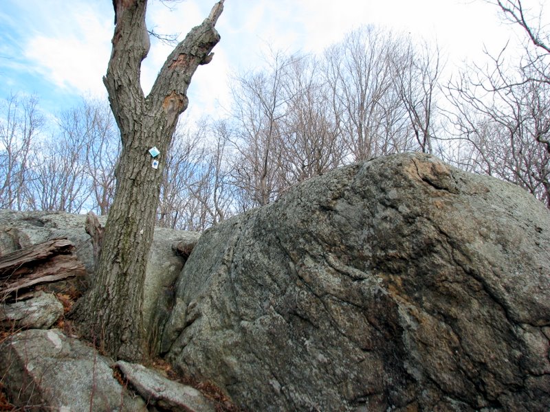
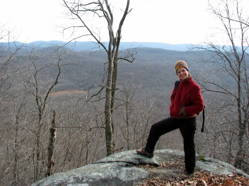
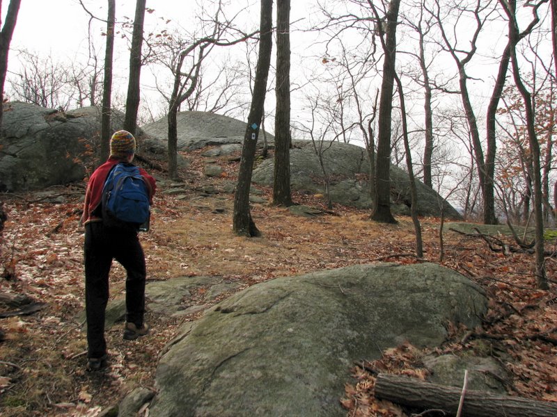 Reaching summit of Big Beech Mountain |
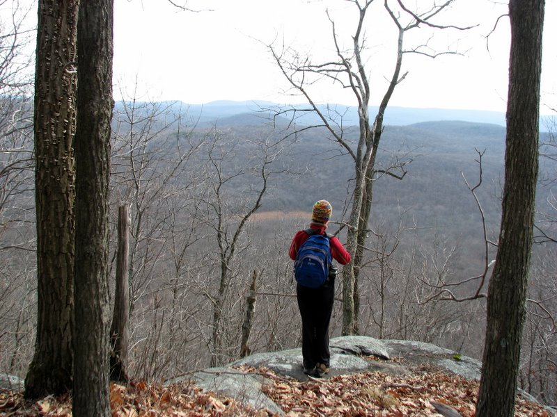
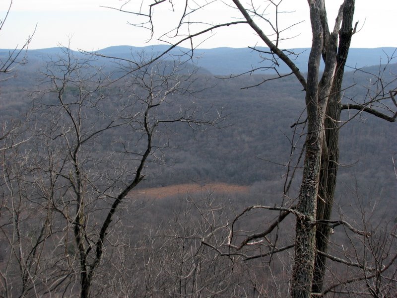
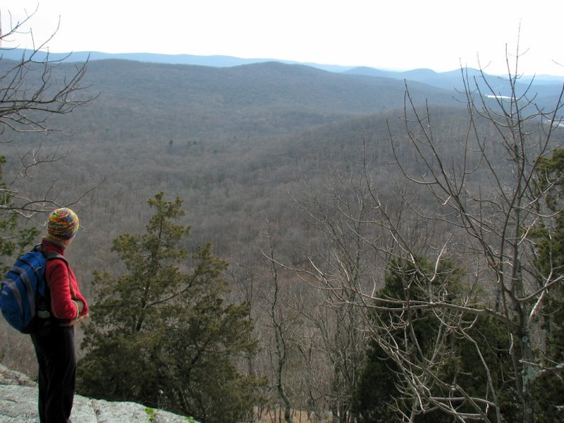
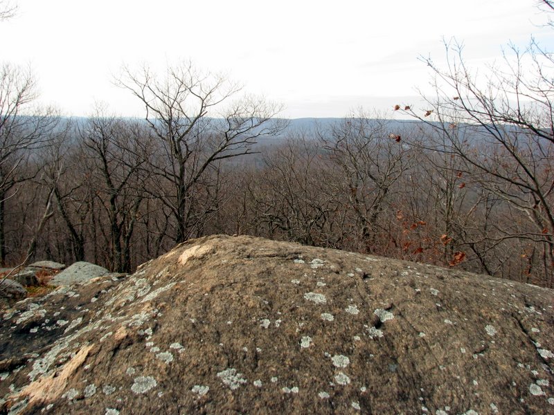 View west from summit |
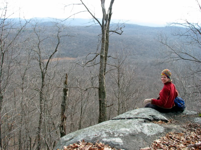
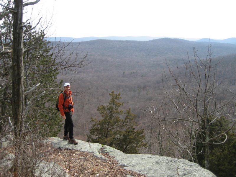
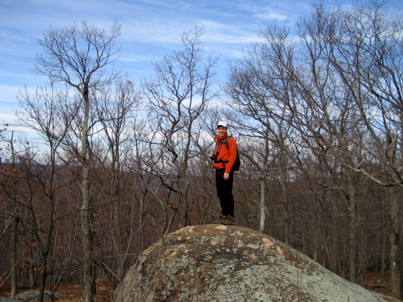 On Big Beech [photo by Laura] |
 Looking east from summit |
 View west |
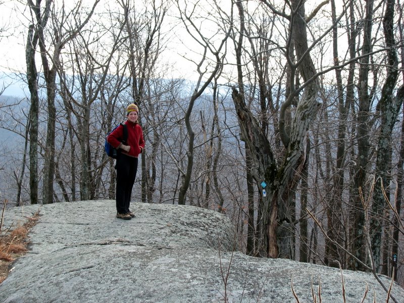
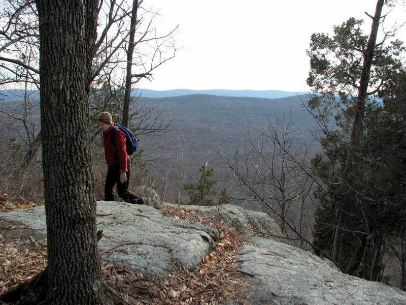
 Ascending to next overlook |
 |
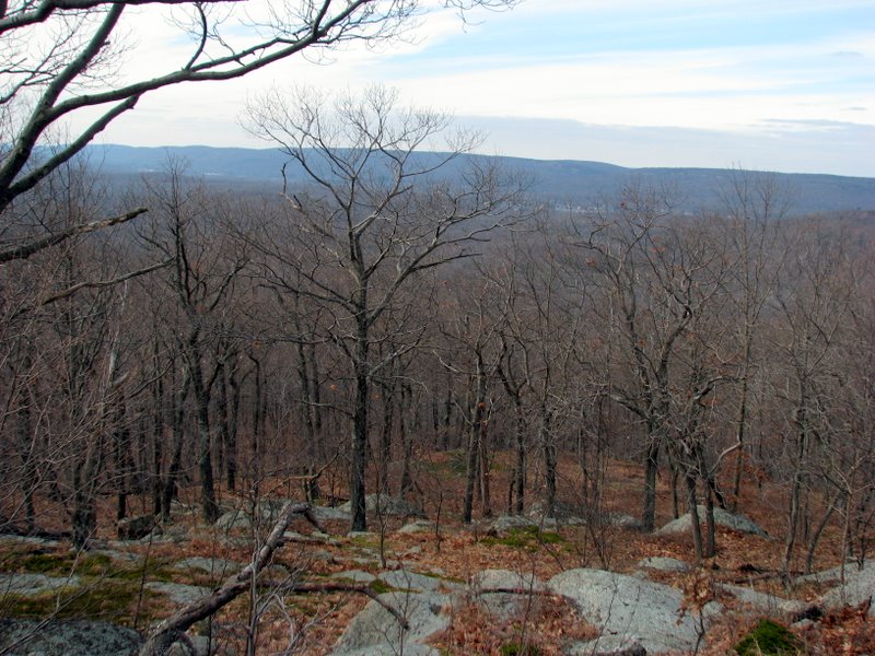
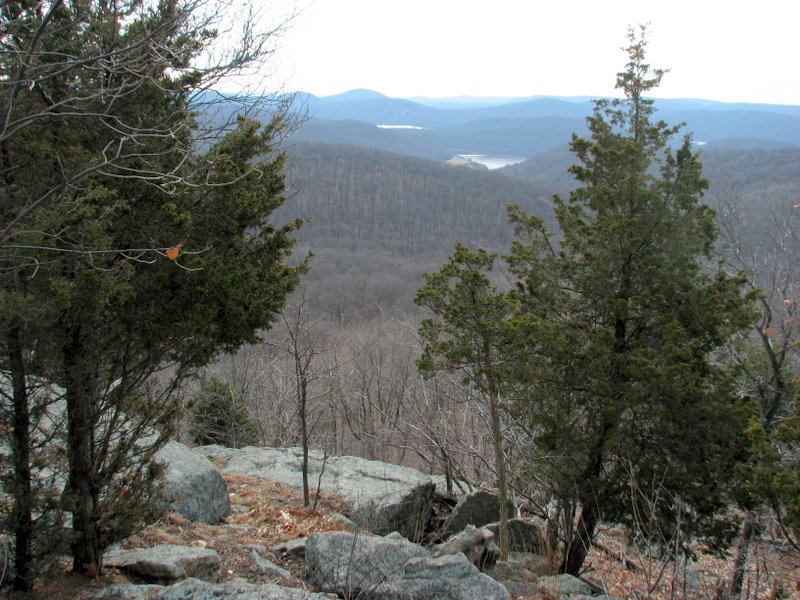
 Overlook facing east |
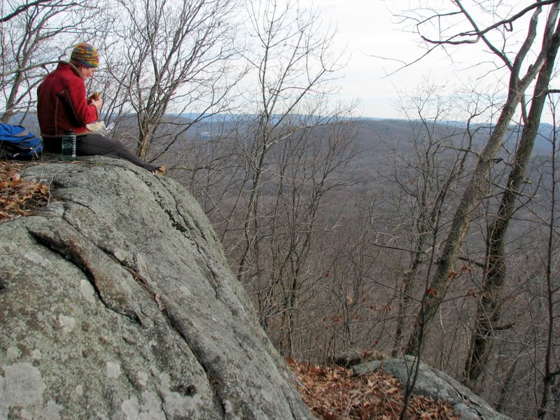
 Our lunch spot! |
 Swamp at base of Tranquility Ridge |
 |
 |
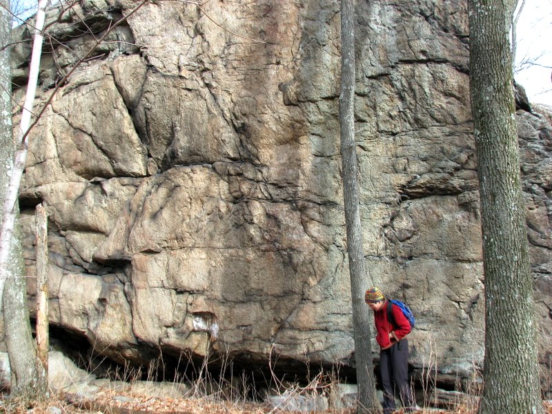
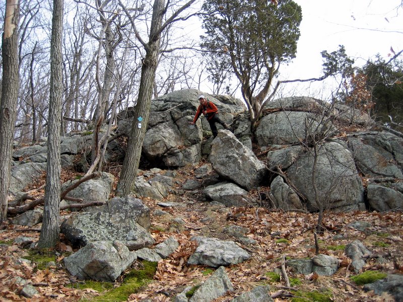
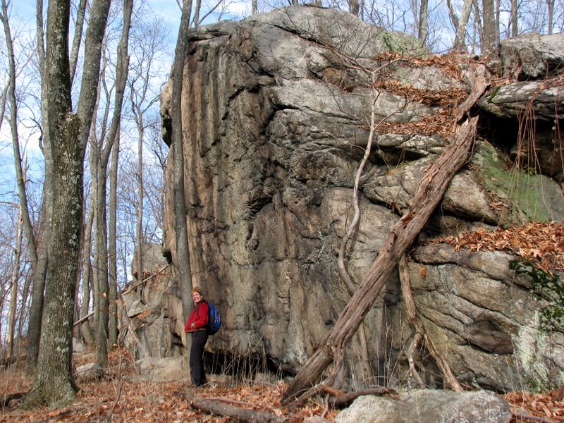 Massive rock formation on HT |
 View straight on |
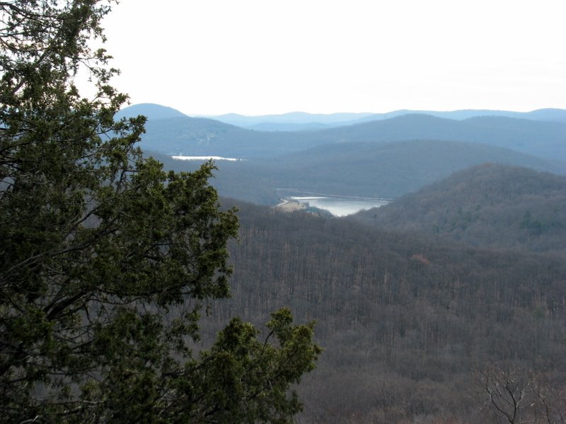
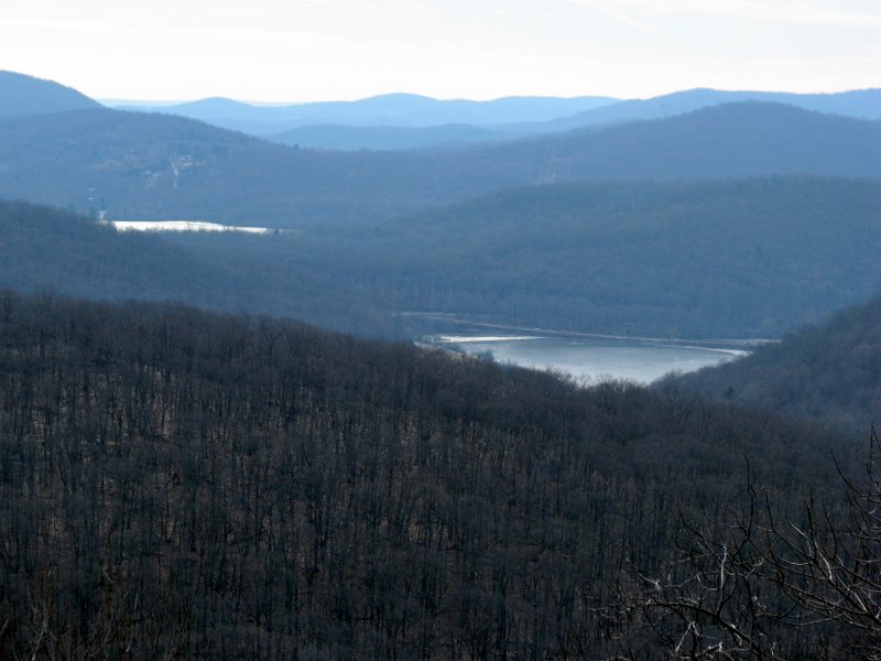 Monksville Reservoir from Big Beech |
 Last lookout on Big Beech |
 |
 View SE [photo by Laura] |
 |
 Monksville Reservoir |
 |
 The descent was steep |
 |
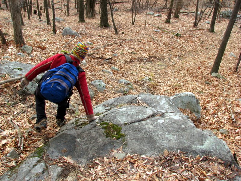 And long |
 |
 Rock descent [photo by Laura] |
 |
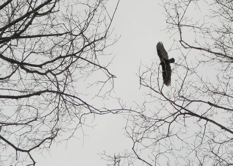 Turkey vulture riding thermals |
 |
 |
 [photo by Laura] |
 Back to Monksville Reservoir |
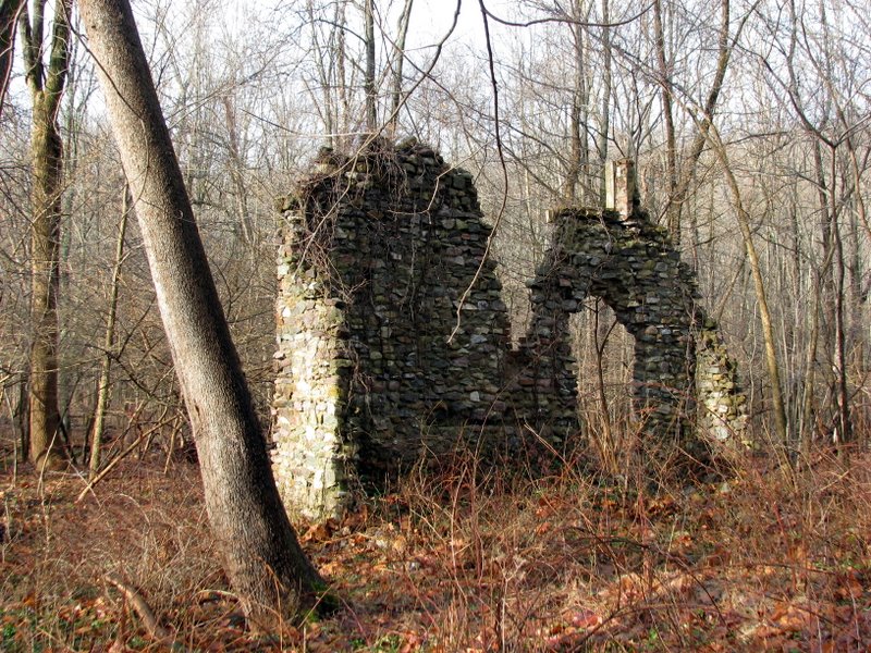
 Ruins of general store |
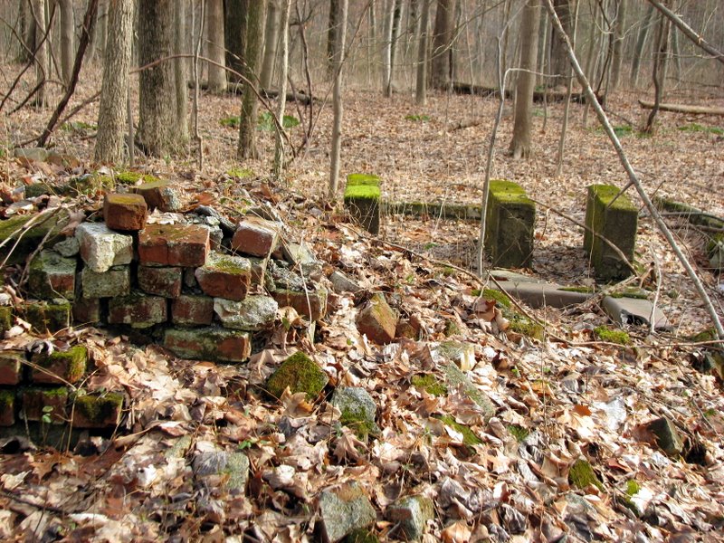 Ruins of ... beats me! |
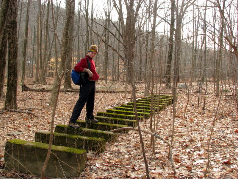 Not sure what this was |

|
|
Photographs and content copyright © Dan Balogh Web design by Dan Balogh |