 |
|
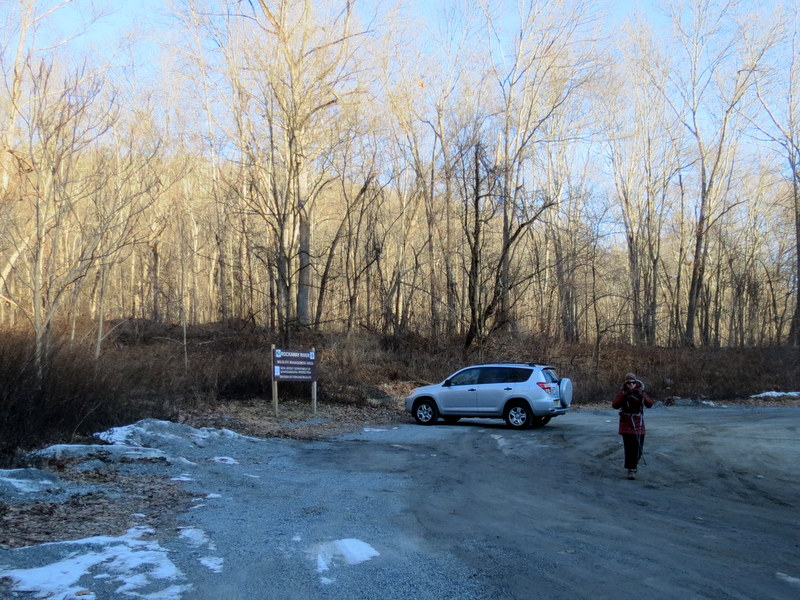
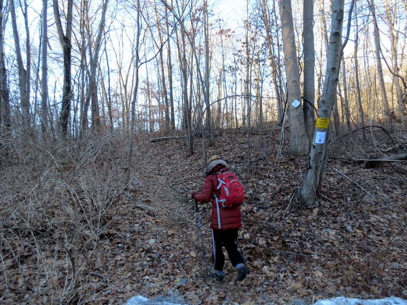
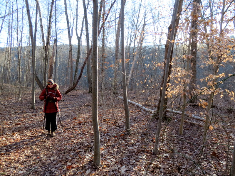
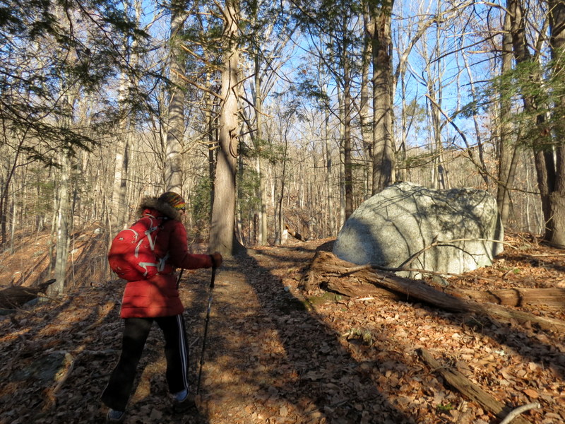
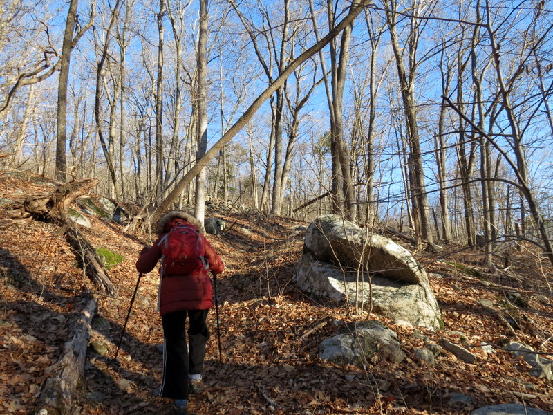
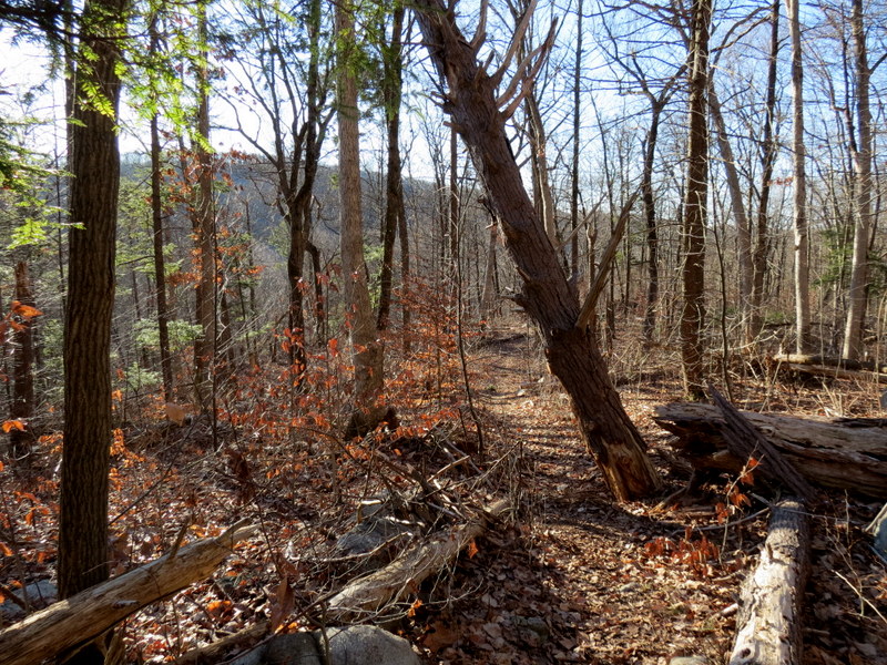
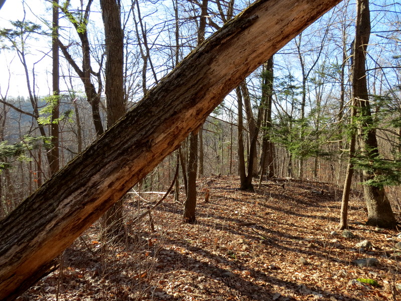
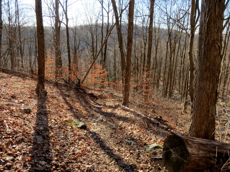
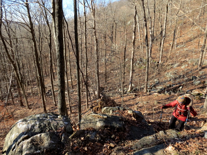
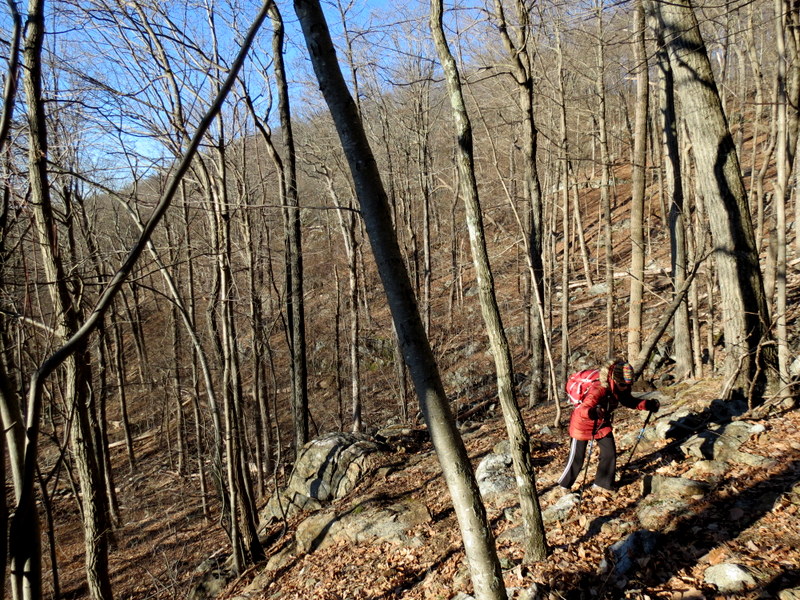
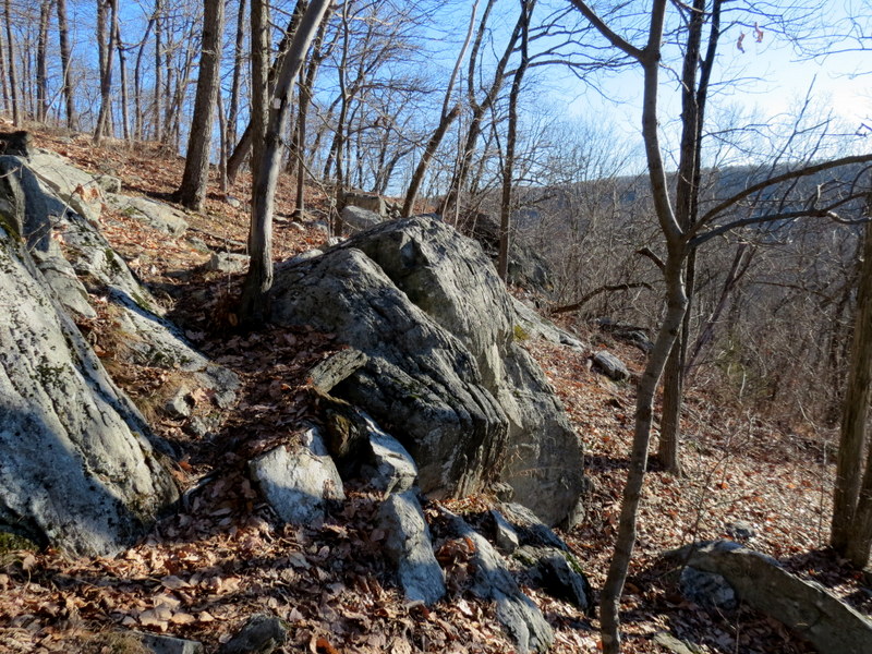
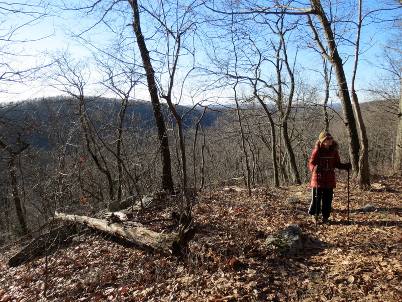
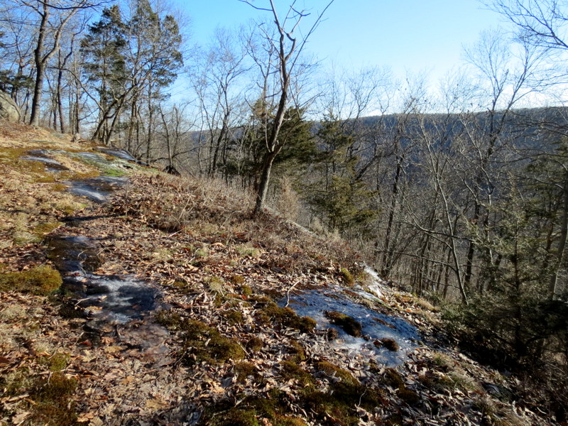
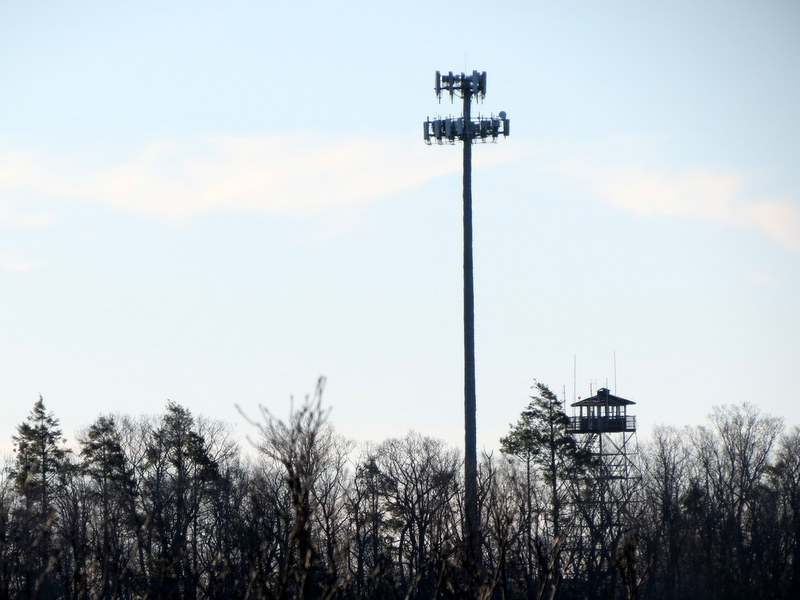
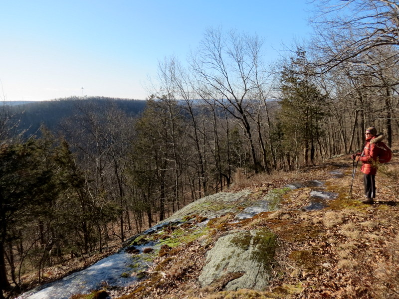
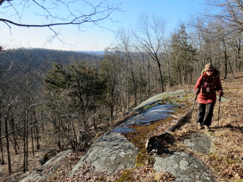
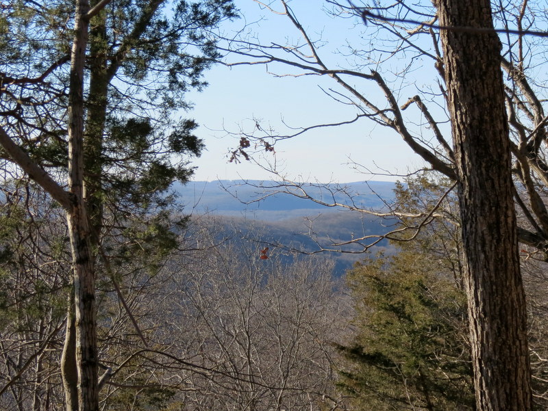
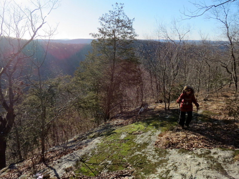
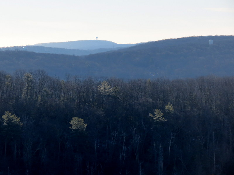
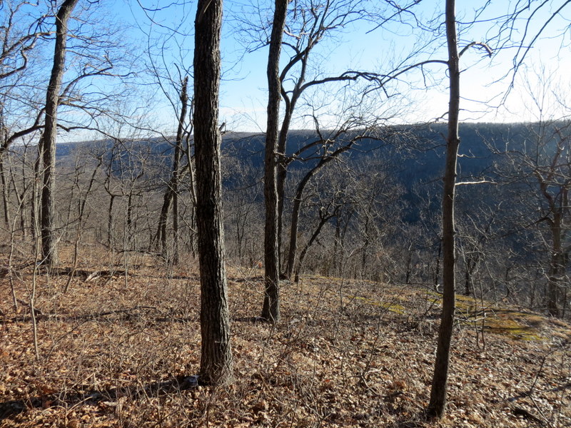
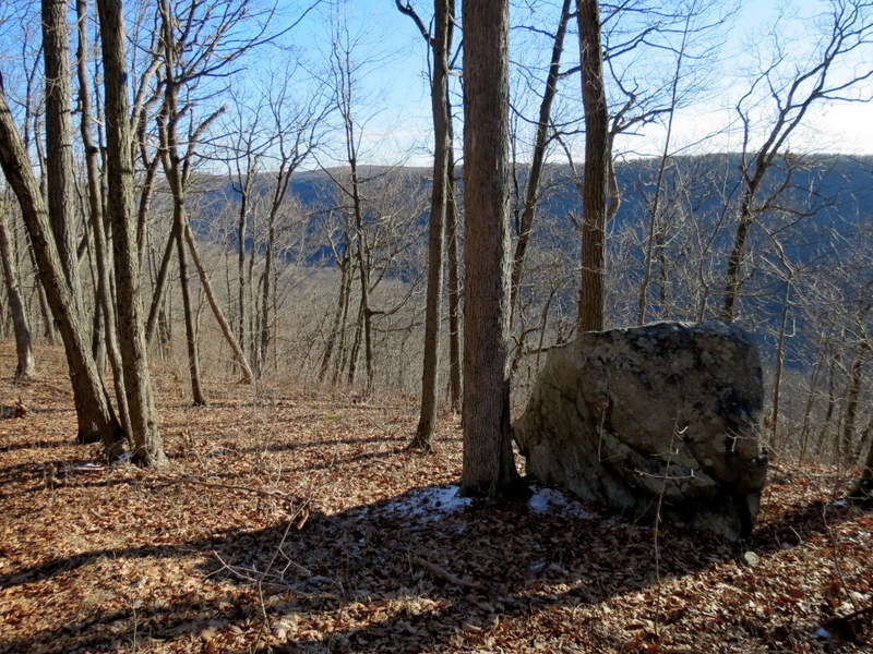
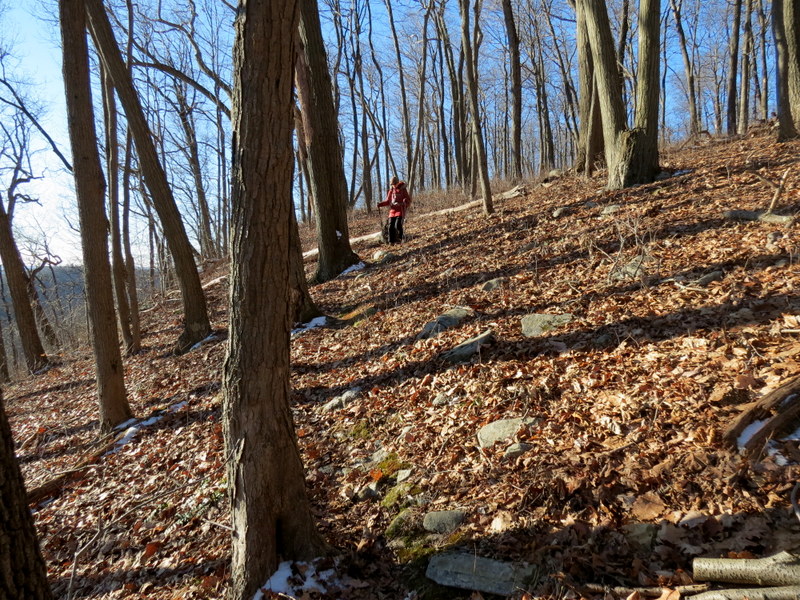
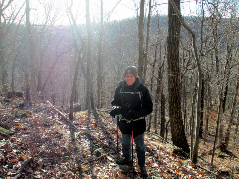
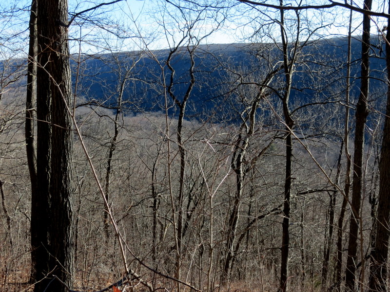
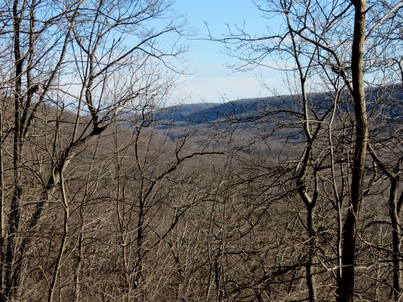
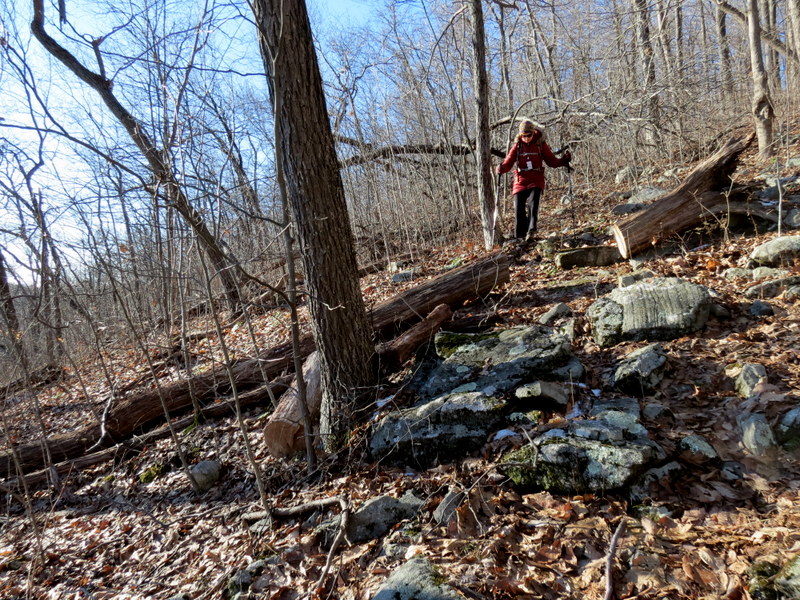
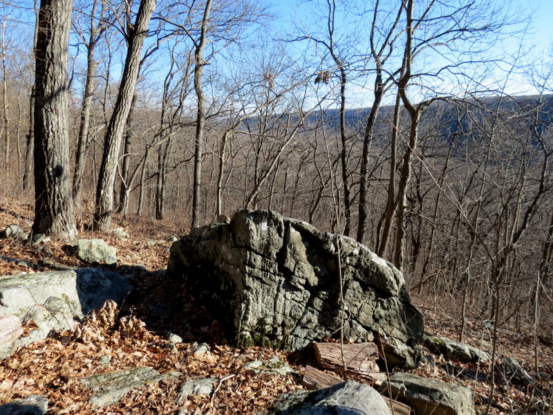
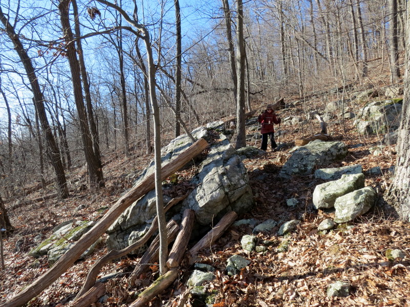
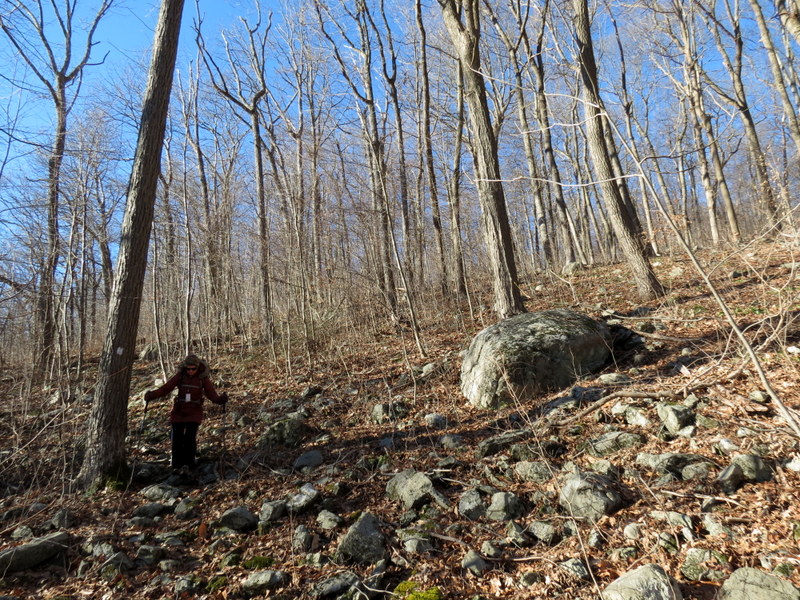
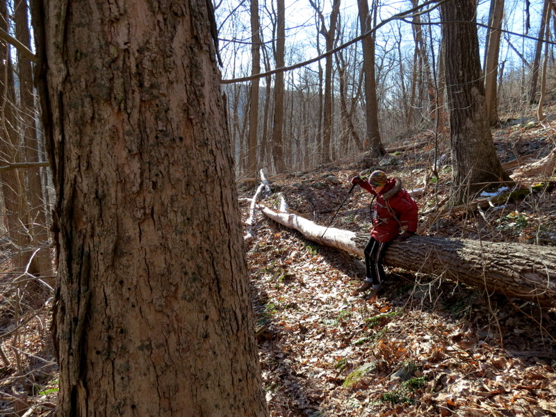
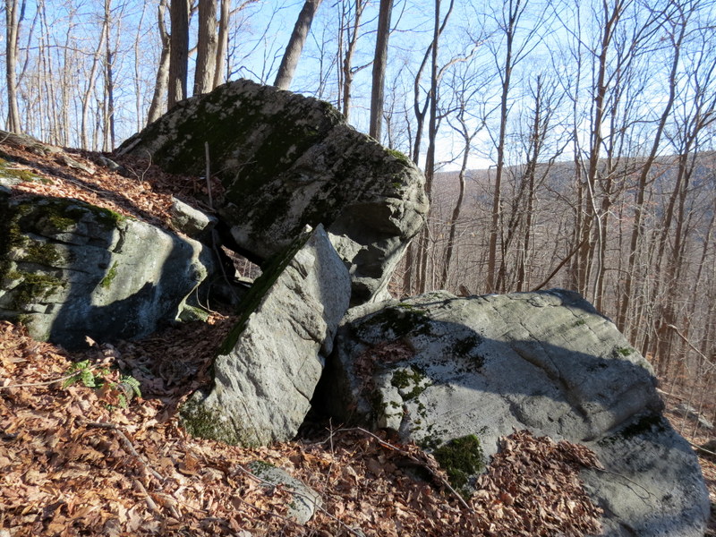
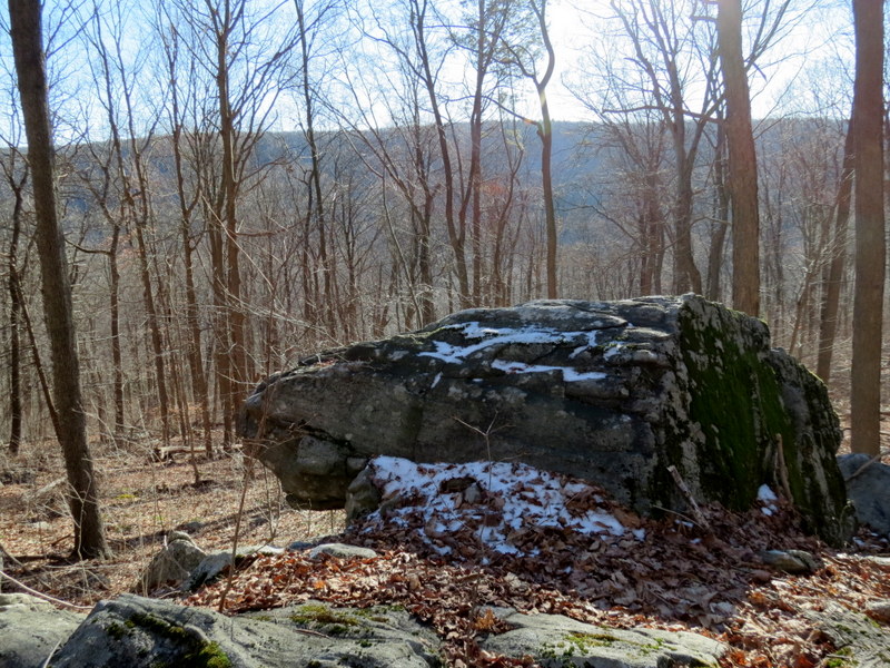
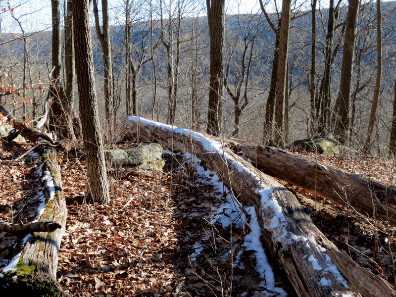
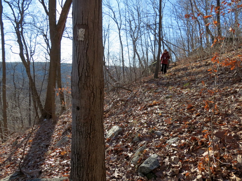
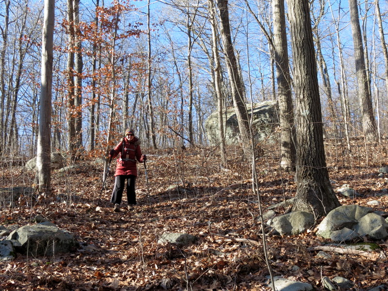
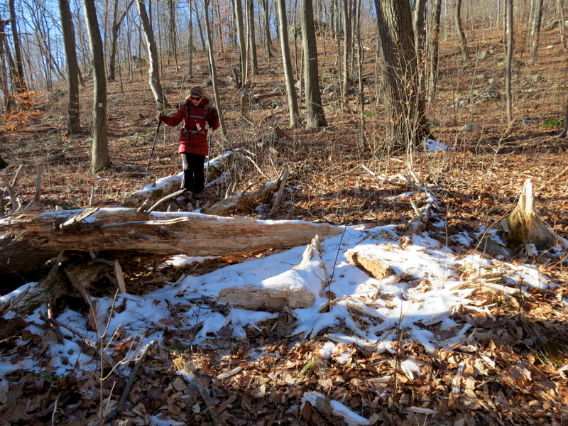
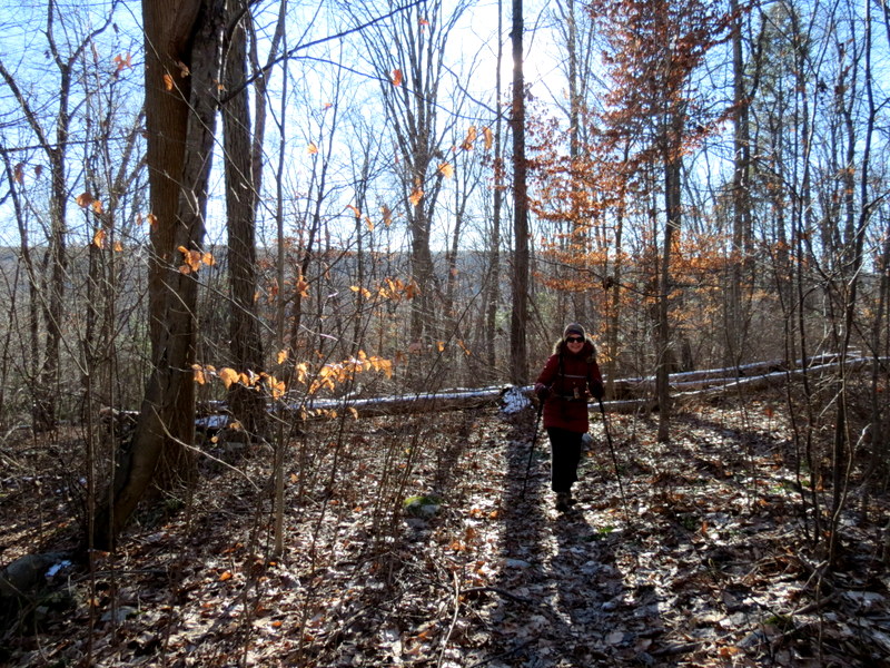
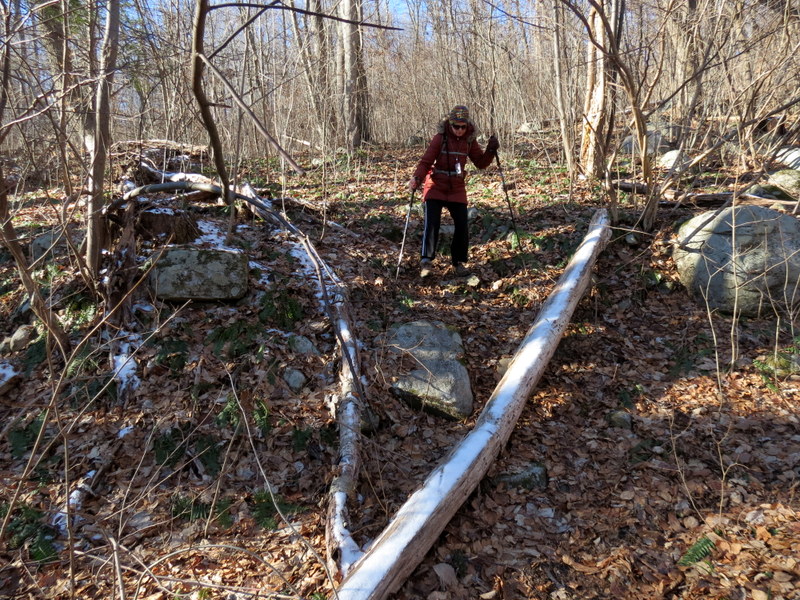
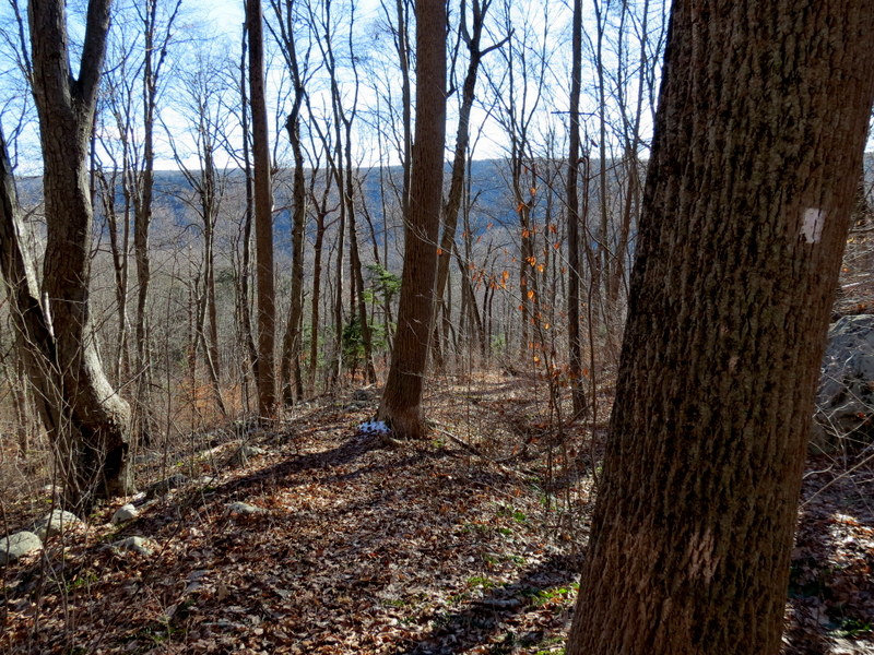
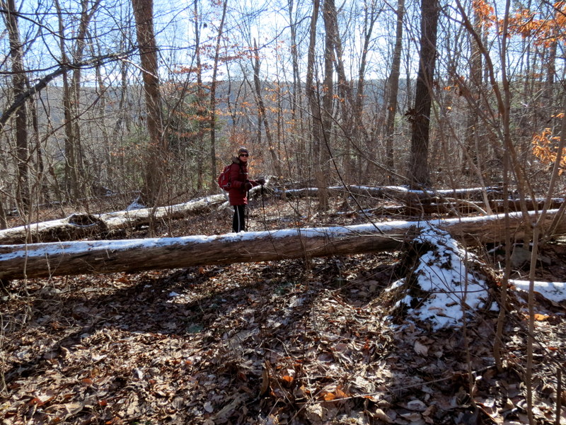
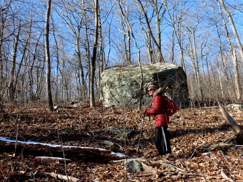
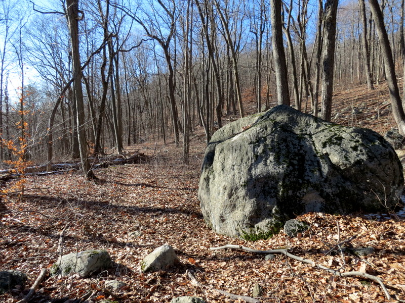
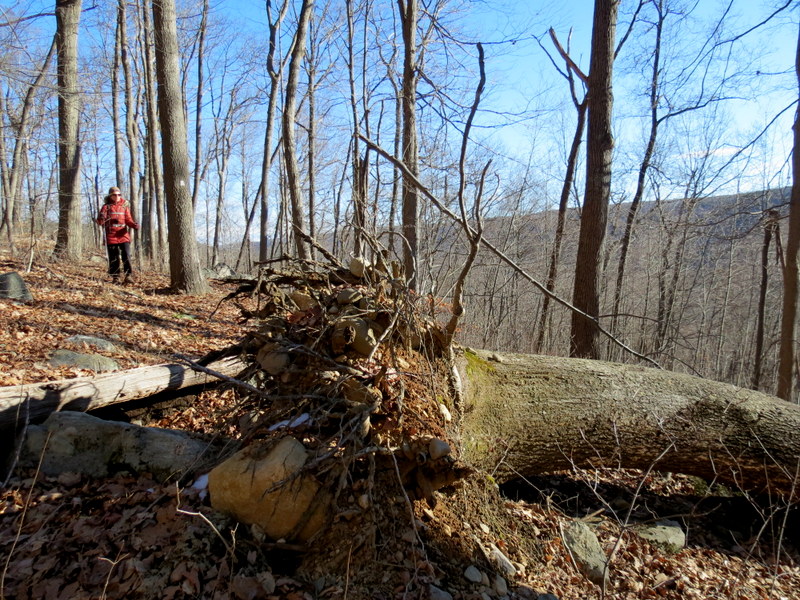
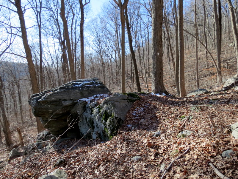
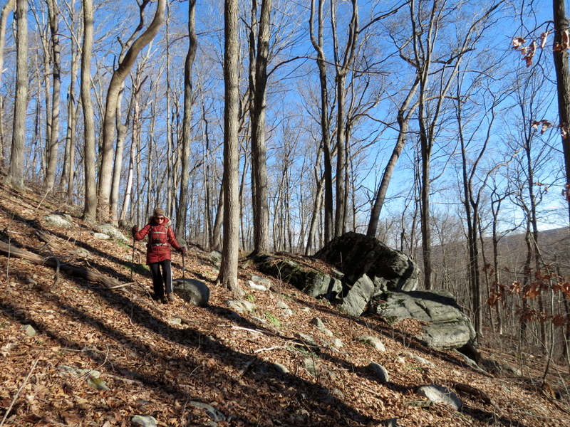
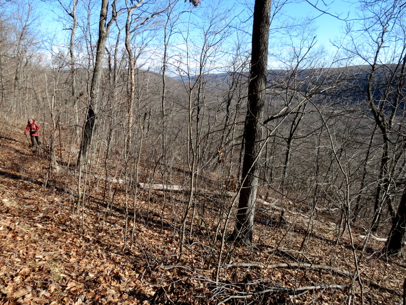
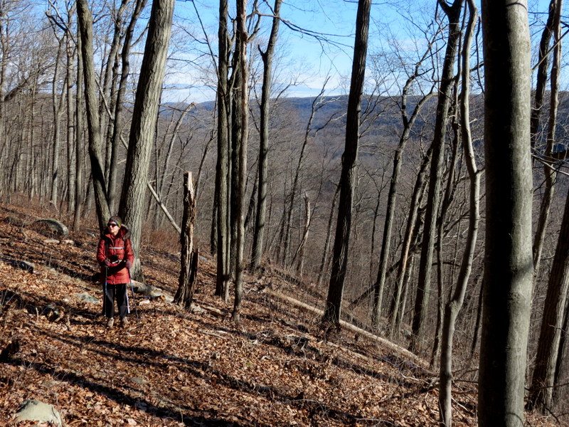
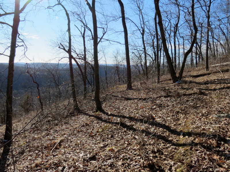
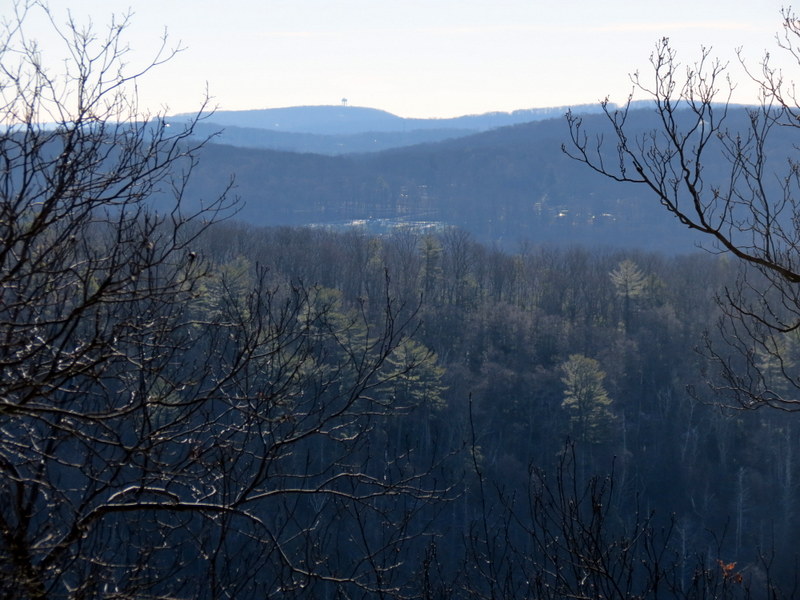
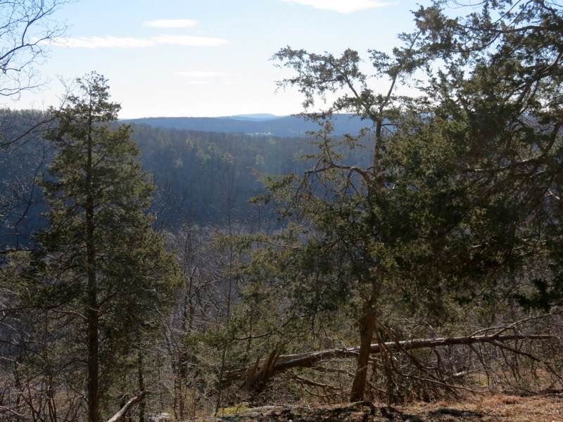
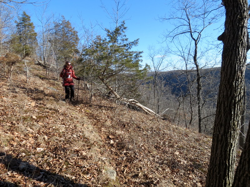
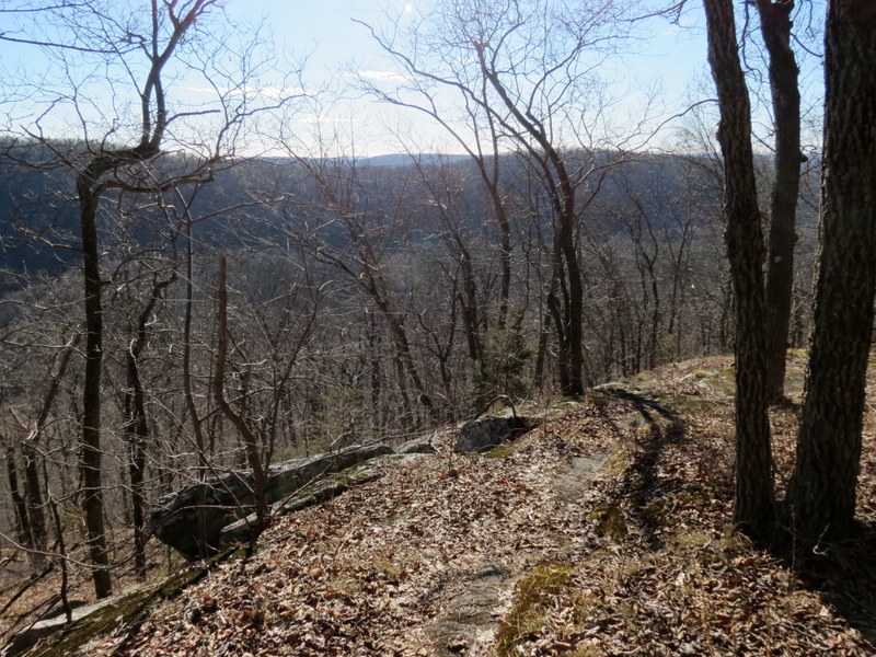
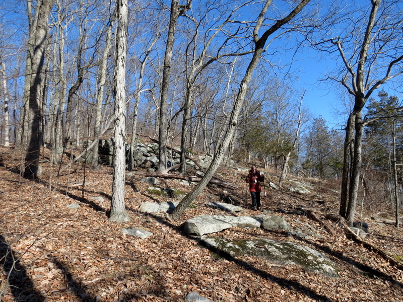
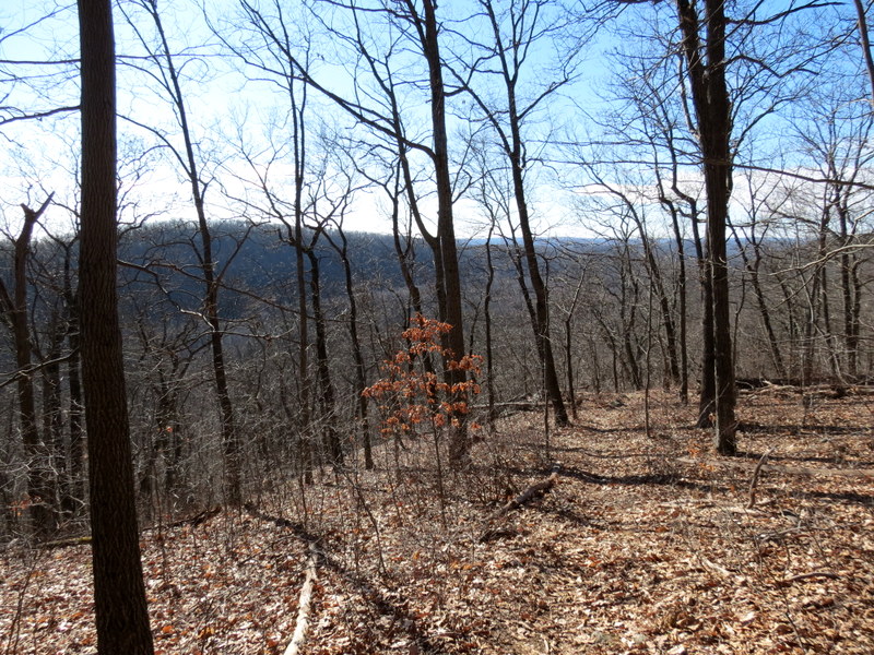
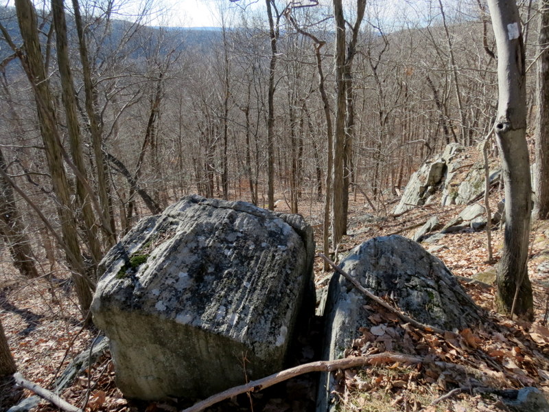
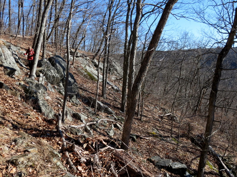
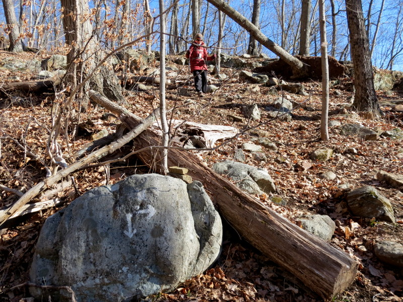
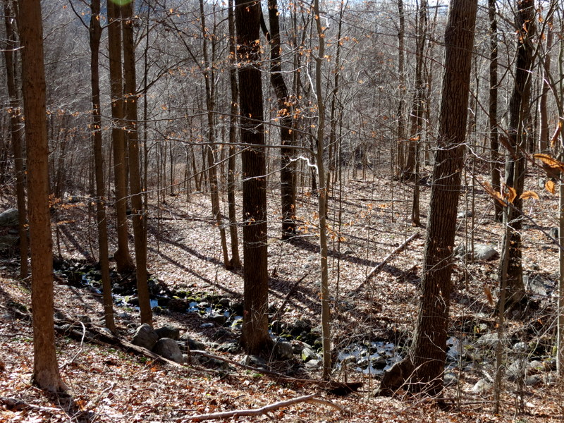
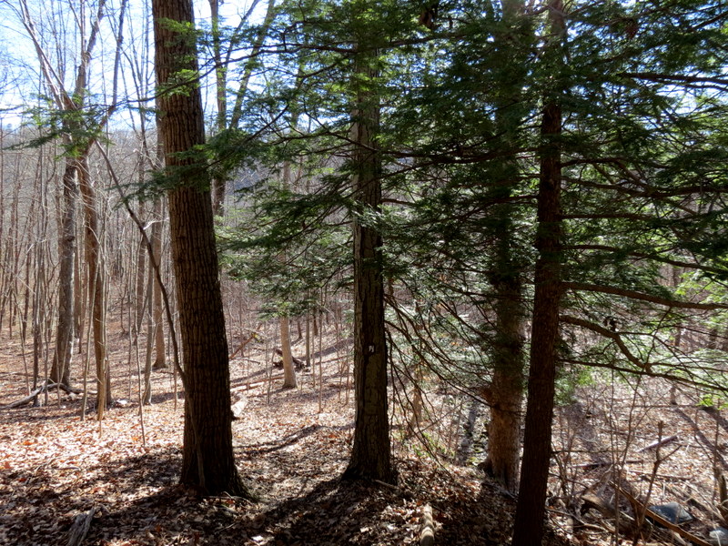
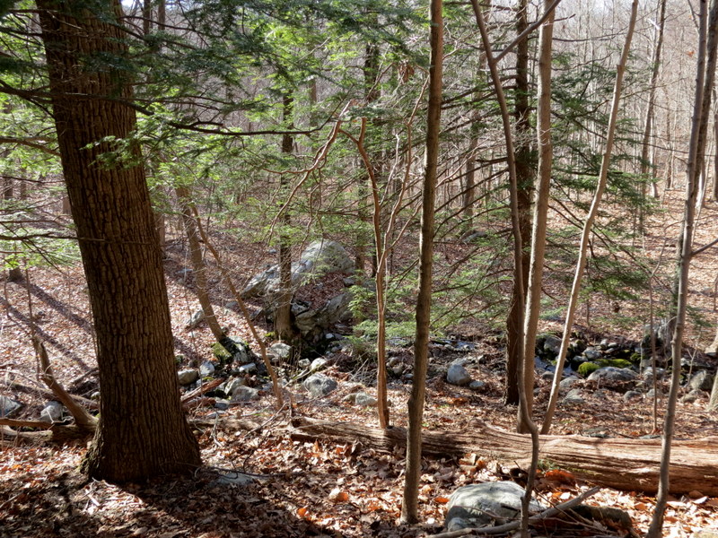
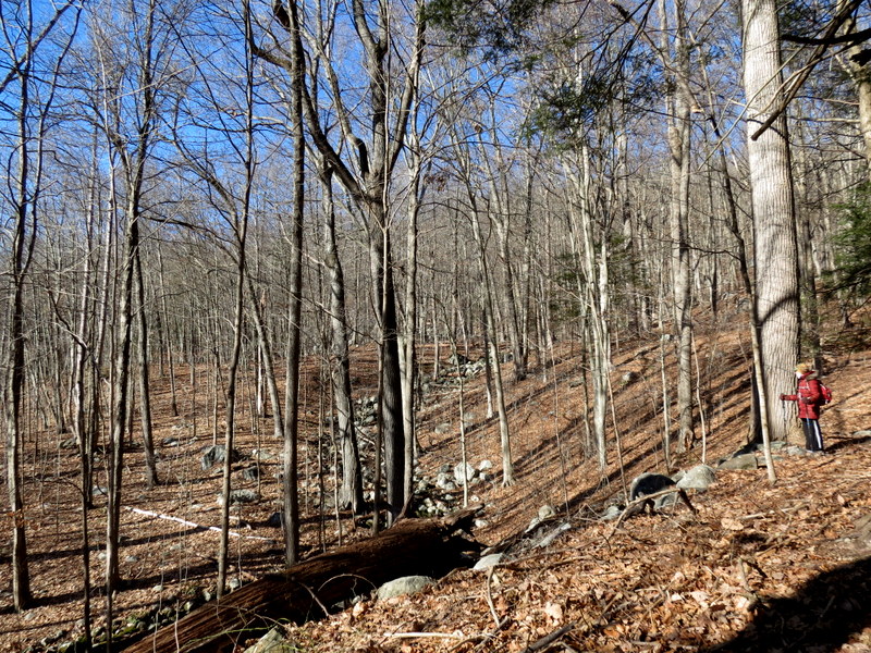
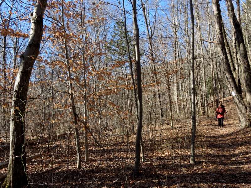
We first hiked this trail over sixteen years ago. Honestly, where does the time go? We returned seven years later (in 2011) to repeat part of that hike. At that time the trails were well-maintained and the criss-crossing woods roads were easily navigable. So we headed back today with a plan on doing a large circuit, first using the white-blazed Beaver Brook trail past the second vista denoted on the NYNJTC Map #126, and then taking a series of woods roads back south, beginning with Compton and then Gobel. But when we arrived and parked in the dirt lot on Route 699, we saw a sign that indicated that the trail was no longer maintained. And yes, the trail was a bit rough in parts, the blazes worn away, and a bit difficult to follow at one point beyond the first vista. So we decided to skip the second vista, to not chance it by venturing too far north. We decided to form a smaller circuit by taking the first woods road to the west after the first vista. But we could barely find it, it was so overgrown with thick, prickly bushes and downed trees. From the white trail we could see that it was impossible to navigate. So, unable to make even a smaller circuit with the woods roads west of the trail, we just backtracked along the Beaver Brook back to the car, never getting even close to Beaver Brook. We ended up hiking only 2.4 miles in just over two hours.
|
 |
 |
 |
 |
 |
 |
 |
 |
 |
 |
 |
 |
 |
 |
 |
 |
 |
 |
 |
 |
 |
 |
 |
 |
 |
 |
 |
 |
 |
 |
 |
 |
 |
 |
 |
 |
 |
 |
 |
 |
 |
 |
 |
 |
 |
 |
 |
 |
 |
 |
 |
 |
 |
 |
 |
 |
 |
 |
 |
 |
 |
 |
 |
 |

|
|
Photographs and content copyright © Dan Balogh Web design by Dan Balogh |