 |
|
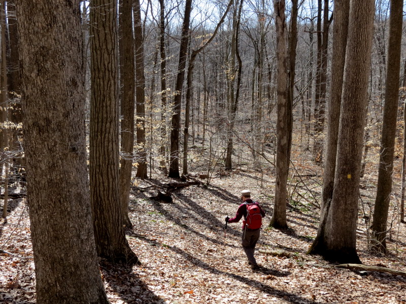
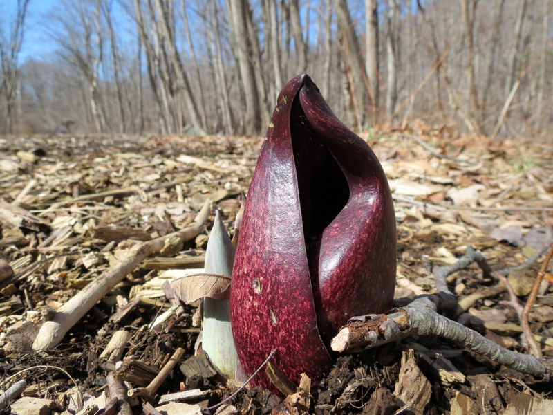
We hiked in this beautiful area a couple of times back in 2010. The first time the trails were covered by many inches of snow so the going was slow.
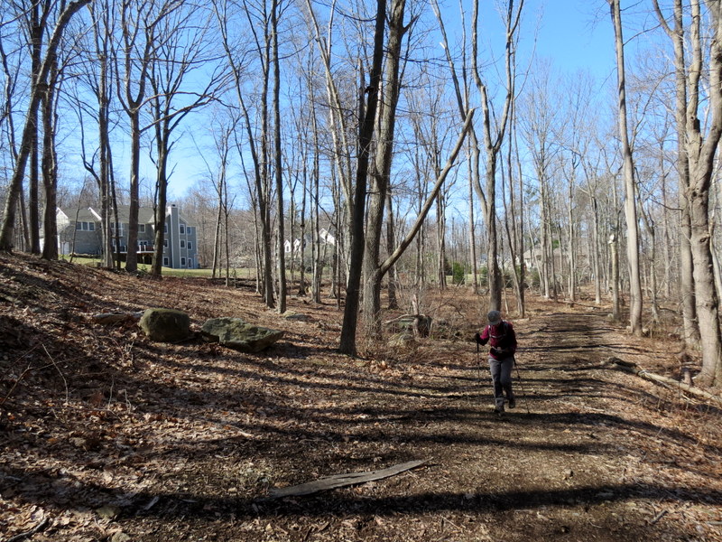
So we returned today, now that all the snow had melted, to do a few trails in the northern area that we hadn't done the previous two times.
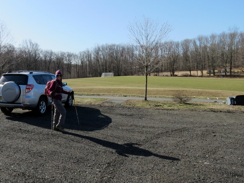
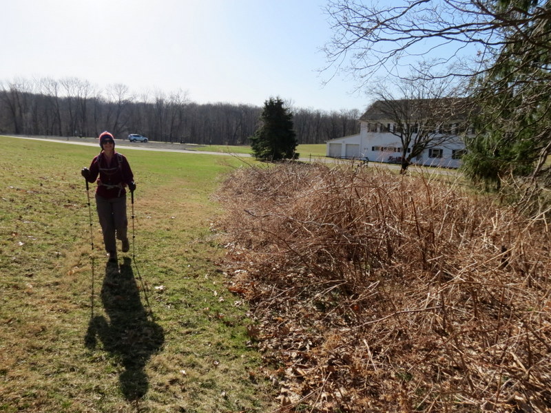
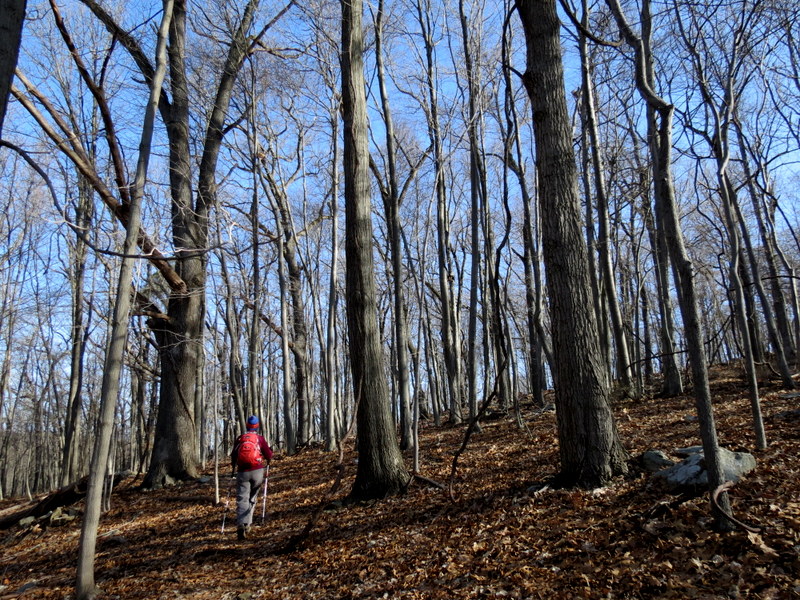
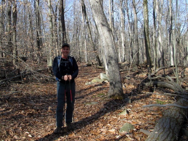
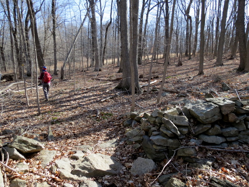
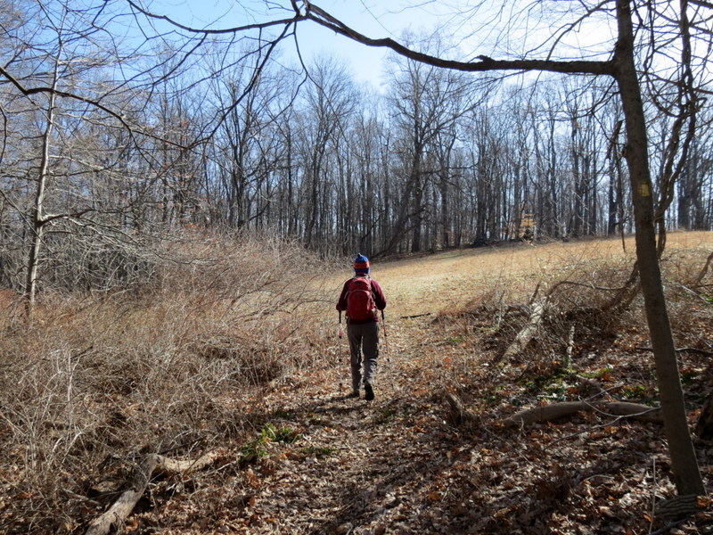
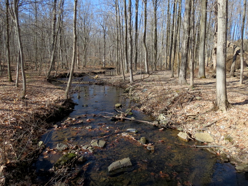
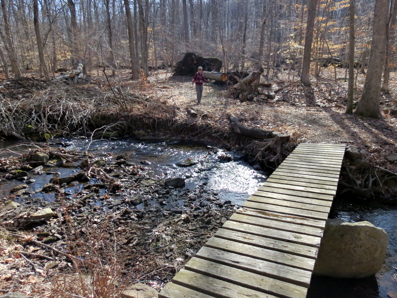
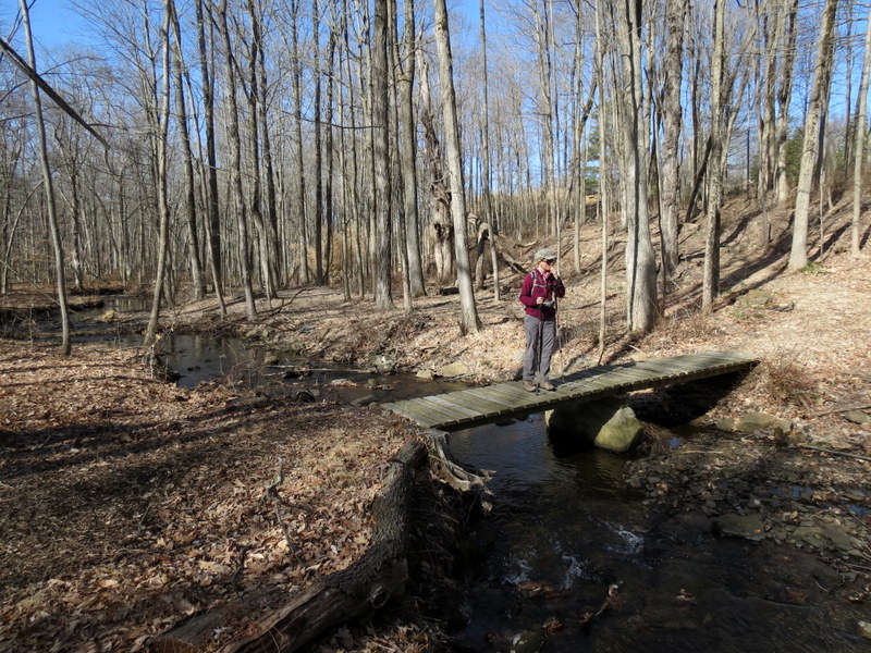
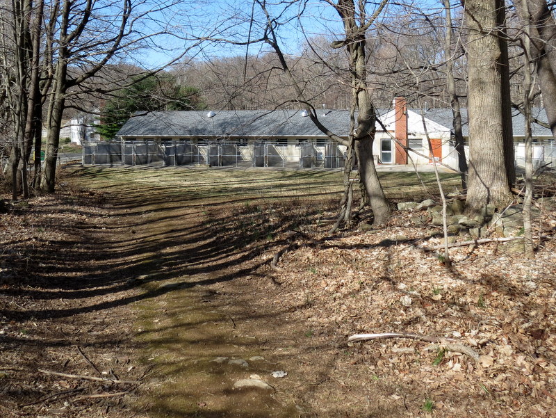
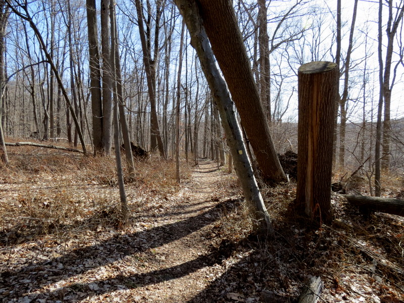
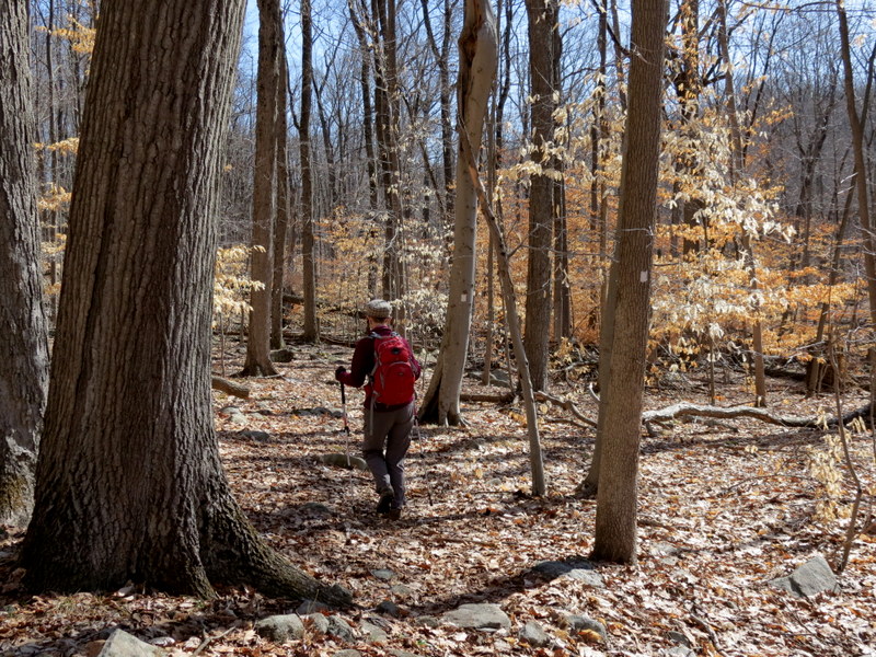
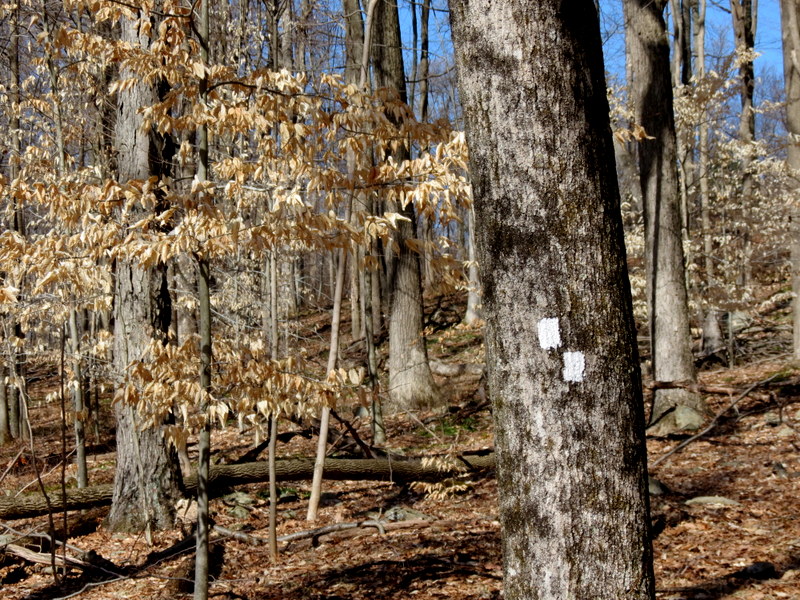
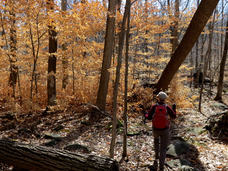
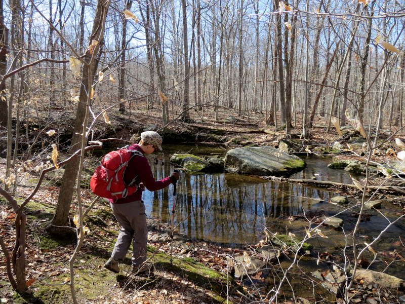
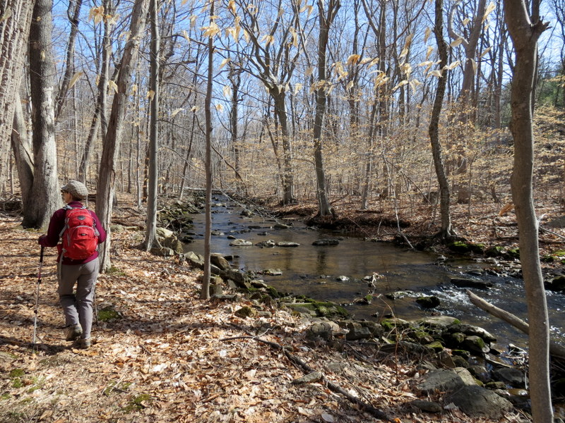
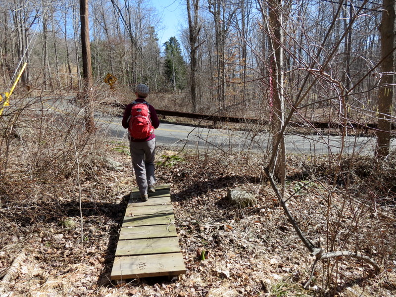
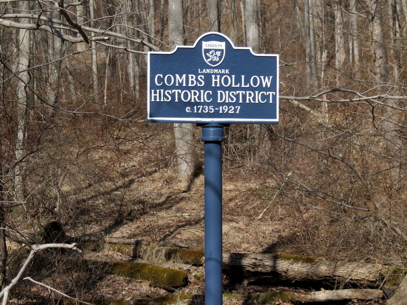
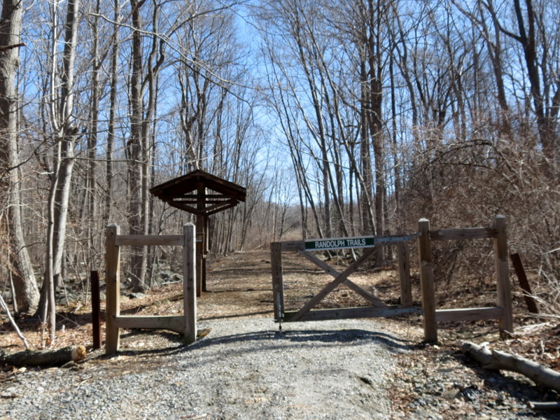
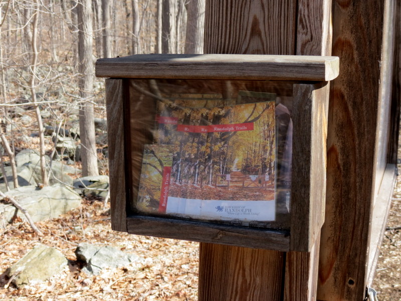
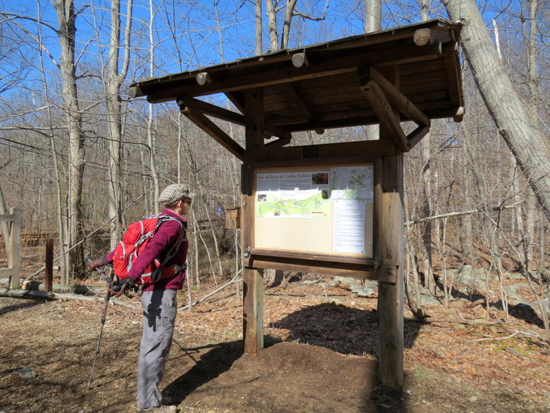
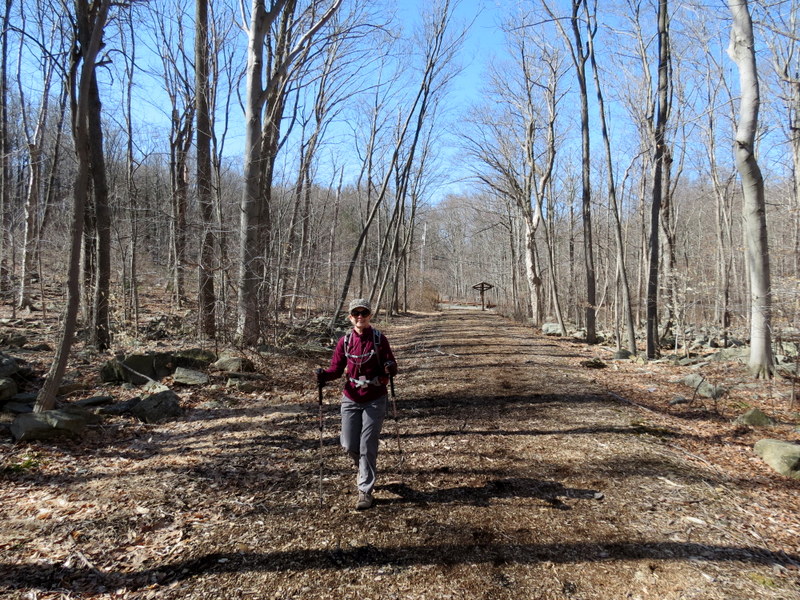
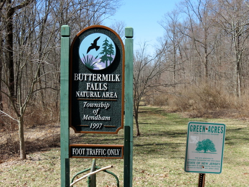
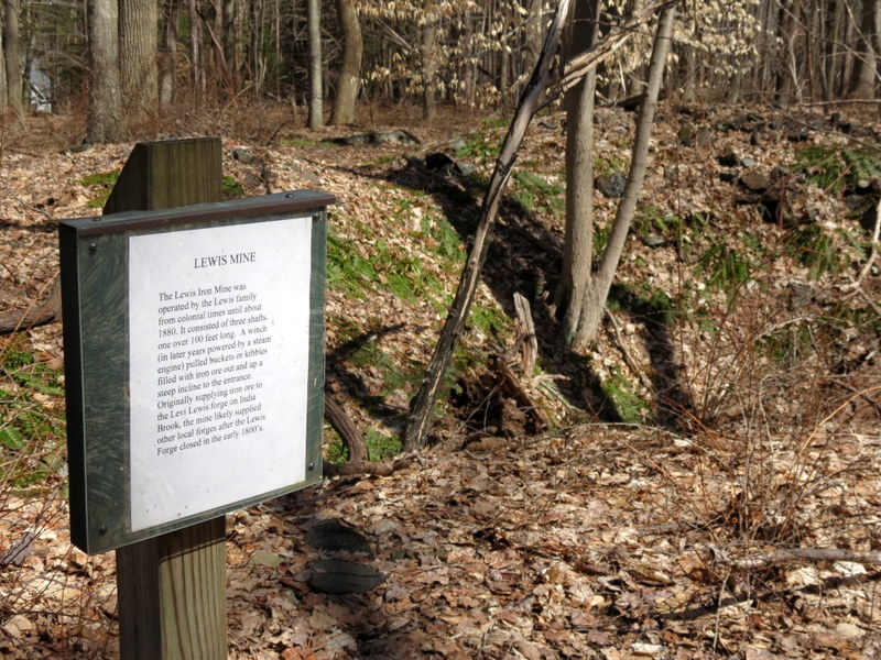
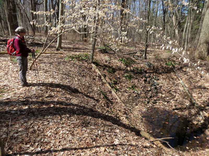
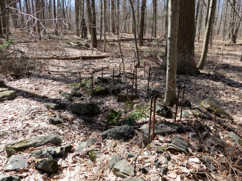
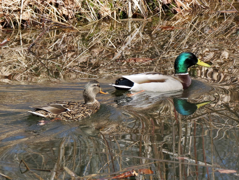
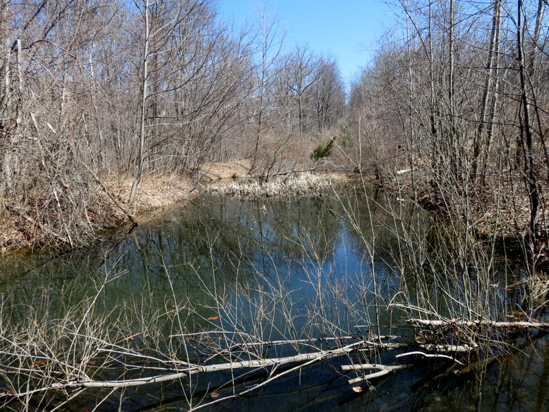
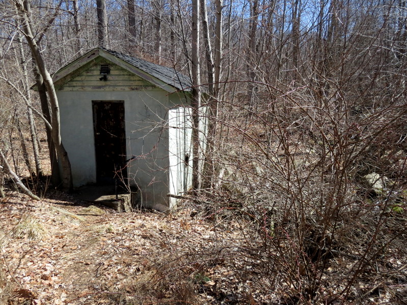
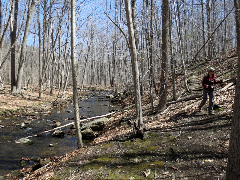
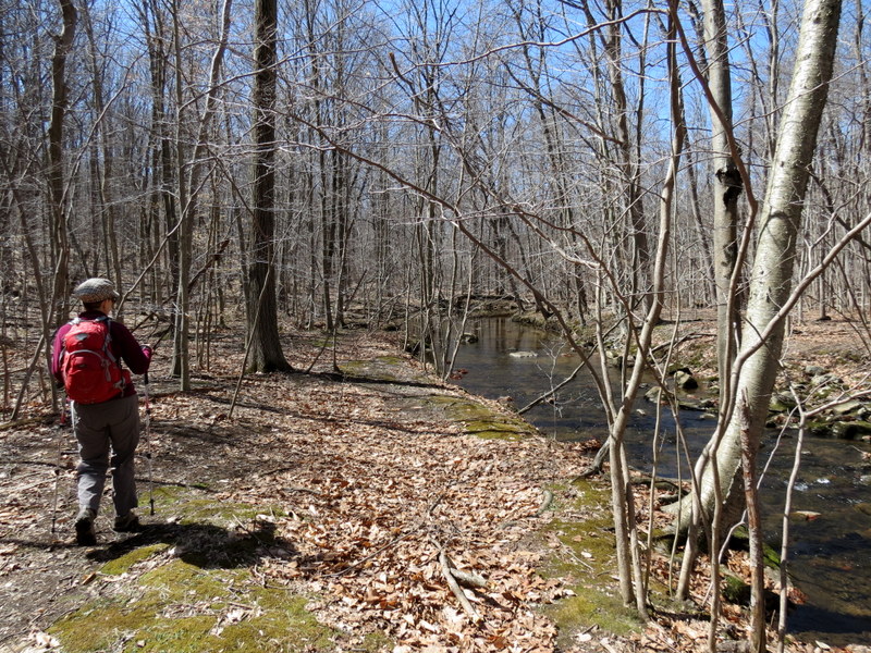
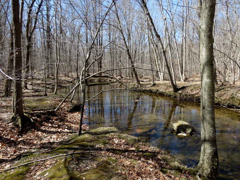
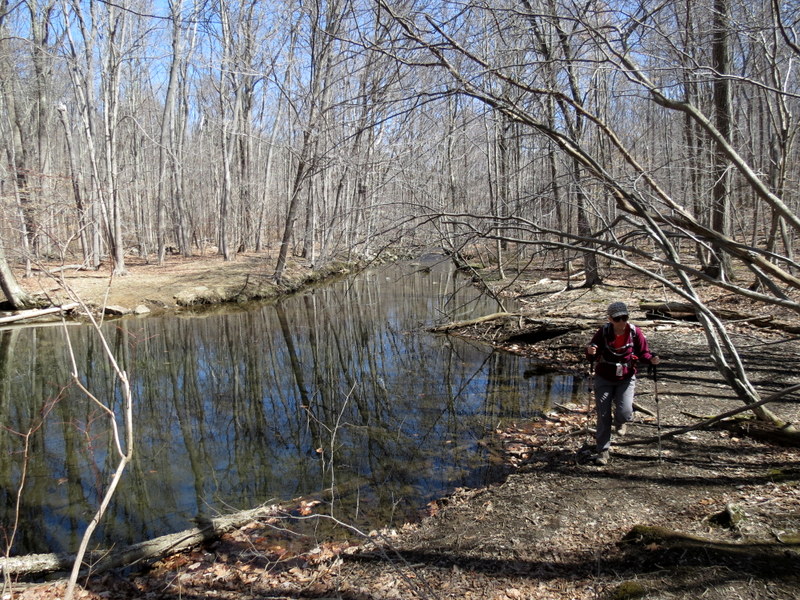
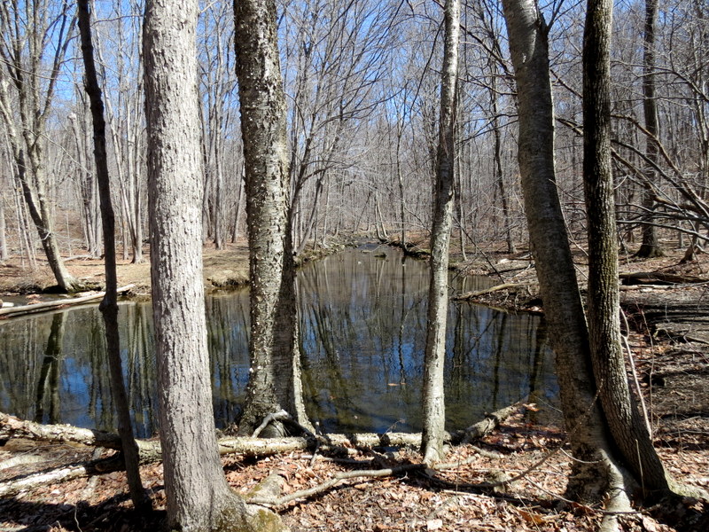
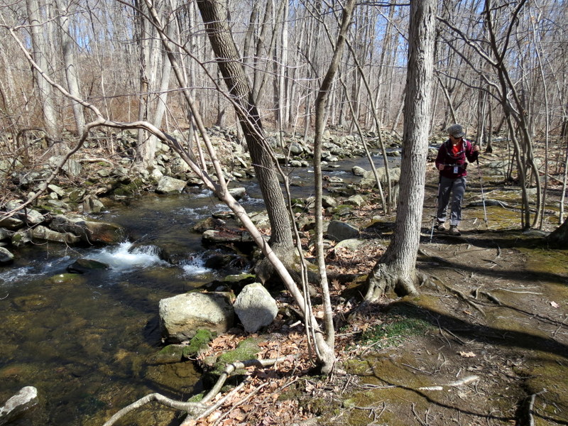
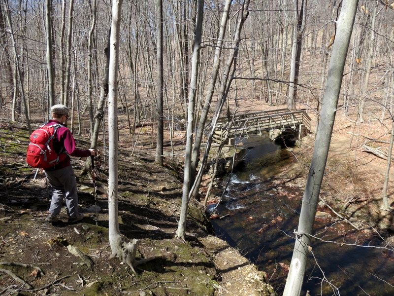
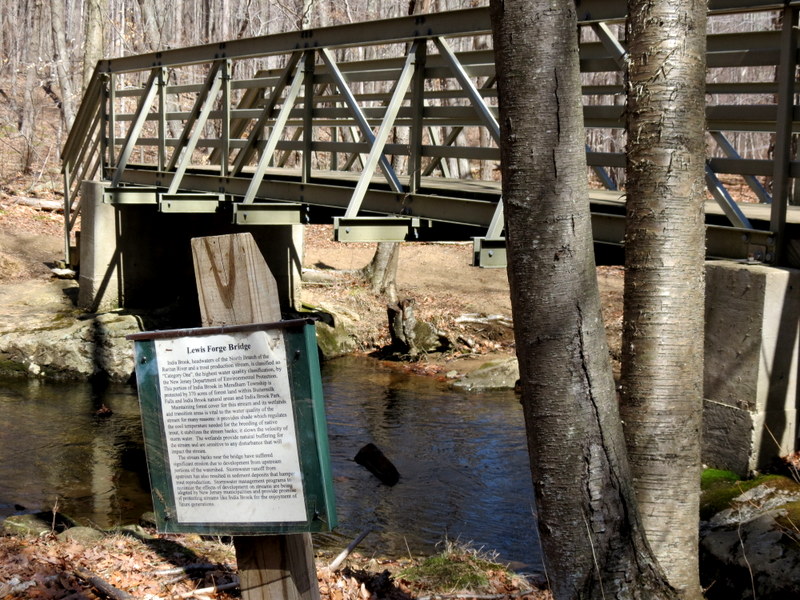
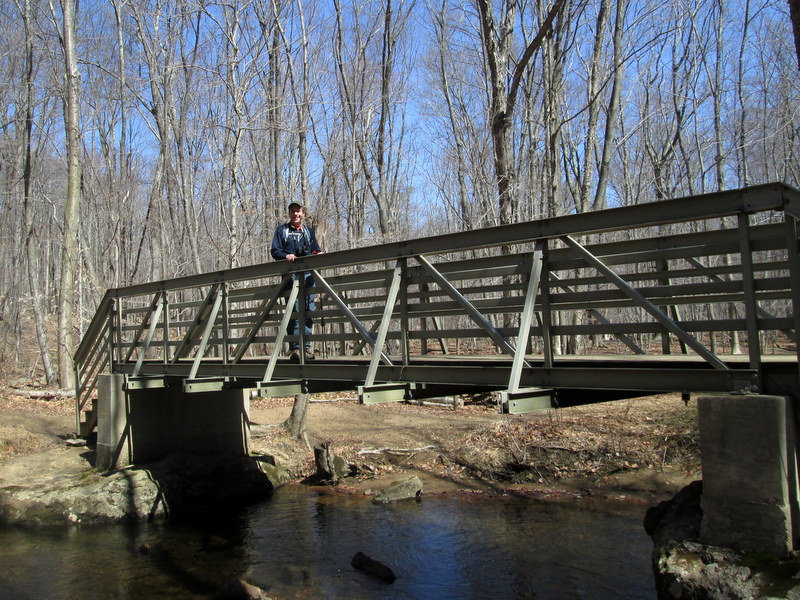
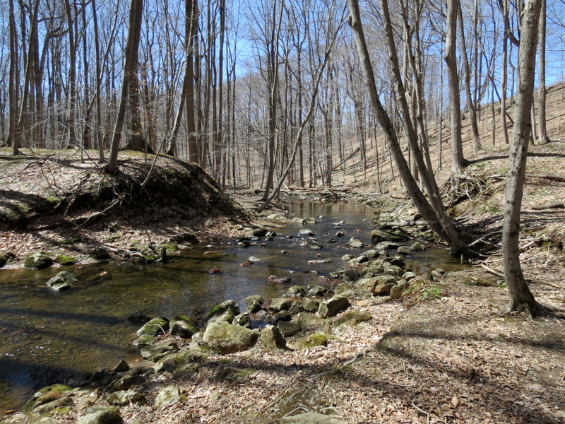
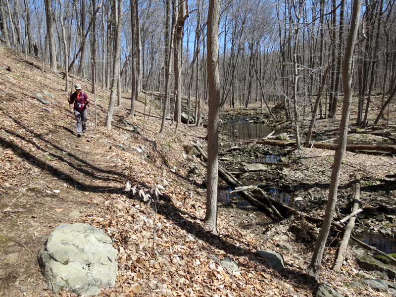
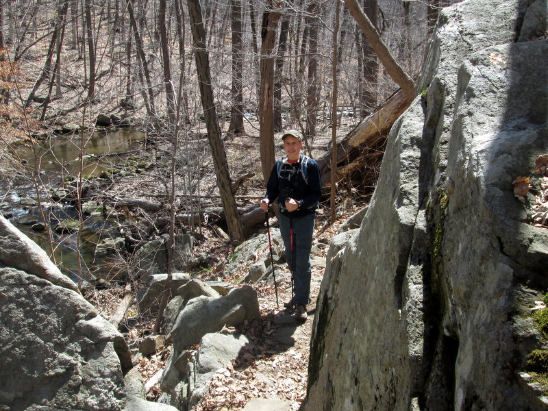
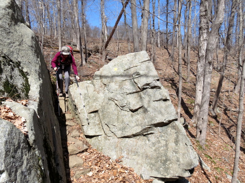
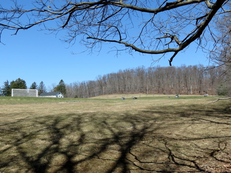
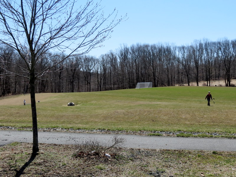
Using this map, we parked at the lot on Park Entrance Road and did the loop in the area labelled "India Brook Park" in a clockwise direction (it's blazed Yellow in the woods, but is red on the map), visiting Dawson's Creek on a spur and continuing until we got to India Brook (near the "B" in "Buttermilk Falls Natural Area" on the map). At this point we headed NE on the White trail (also red on the map) skirting India Brook the entire way until we got to Combes Hollow Road. Now in Randolph Township we crossed the road and continued NE along a woods road all the way to Patriot's Path. This wasn't a very interesting stretch, mostly gravel and not very rugged. After reaching PP, we retraced our steps to Combes Hollow Road, walked along that road south to reach another parking area of the natural area. We hiked west, visiting Lewis Mine (green blazed trail) and continued to India Brook, finding an unblazed trail that skirted the brook the entire way to the "Bridge" denoted on the map. From there we crossed the brook and then headed uphill (away from Buttermilk Falls) back to the car, crossing the huge lawn (with soccer fields). Total distance hiked today was 5.3 miles in just over 3 hours.
|
 |
 |
 |
 |
 |
 |
 |
 |
 |
 |
 |
 |
 |
 |
 |
 |
 |
 |
 |
 |
 |
 |
 |
 |
 |
 |
 |
 |
 |
 |
 |
 |
 |
 |
 |
 |
 |
 |
 |
 |
 |
 |
 |
 |
 |
 |
 |
 |
 |
 |
 |
 |
 |
 |
 |
 |
 |
 |
 |
 |
 |
 |
 |
 |
 |
 |
 |
 |
 |
 |
 |
 |

|
|
Photographs and content copyright © Dan Balogh Web design by Dan Balogh |