 |
|
A month ago we did a 6-mile hike north of Splitrock Reservoir, never once coming close enough to see it.
In the past we have hiked along its western bank, as well as to its south (in Wildcat Ridge WMA, in addition to Farny State Park). Today we headed for its eastern bank
for the first time. I had seen sporadic reports of horrendous blazing on the blue-blazed Splitrock Loop trail so we proceeded with caution. We were pleasantly surprised,
though, to discover that the blazing was terrific for the entire extent of our journey today.
We parked at the lot on Splitrock Road, just east of the dam, and walked along an unblazed path east until we couldn't go any further, at which point we bailed onto Splitrock Road and continued east. After passing under the powerline for the second time, we saw the blue blazes heading north into the woods (about 0.3 miles from the parking lot). We took this trail NE to the vista labeled "Double D Peak" on the NYNJTC Trail Map #125 - Jersey Highlands, Central North Region. We followed the 0.1-mile spur descending and then climbing steeply east by following blue ribbons tied to vegetation. At the top, there were views in nearly all directions, mostly of trees. At one point I noticed blue ribbons tied deeper into the overgrown vegetation and tried to find a way to get to them but I would have needed a machete! So I can't be sure we actually got to see all the views (the map indicates two vistas). Perhaps we'll return in the winter when the leaves are off the trees. Back on Blue (Splitrock Loop trail) we continued north until we found a partial view over the reservoir where we had lunch (denoted by another "star" on the map). We then backtracked to an unmarked trail heading west where we found Charlottesburg Road, which was closed to traffic today and filled with pond-sized puddles of water populated by tadpoles, frogs, and everything in-between! The views of the reservoir from the road were very nice in spots. We took this road all the way back to Splitrock Road and then the car, making it a Figure-8. Total distance hiked today was 6.7 miles in 4.5 hours.
|
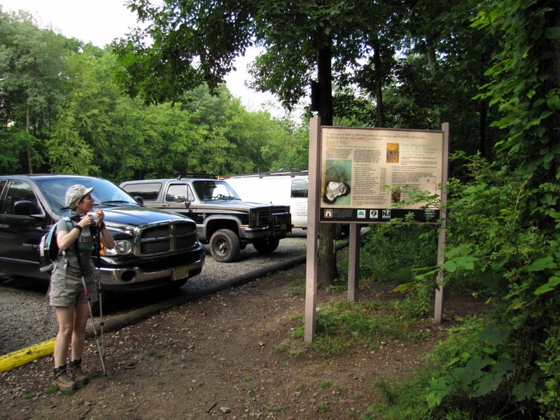 Reservoir kiosk |
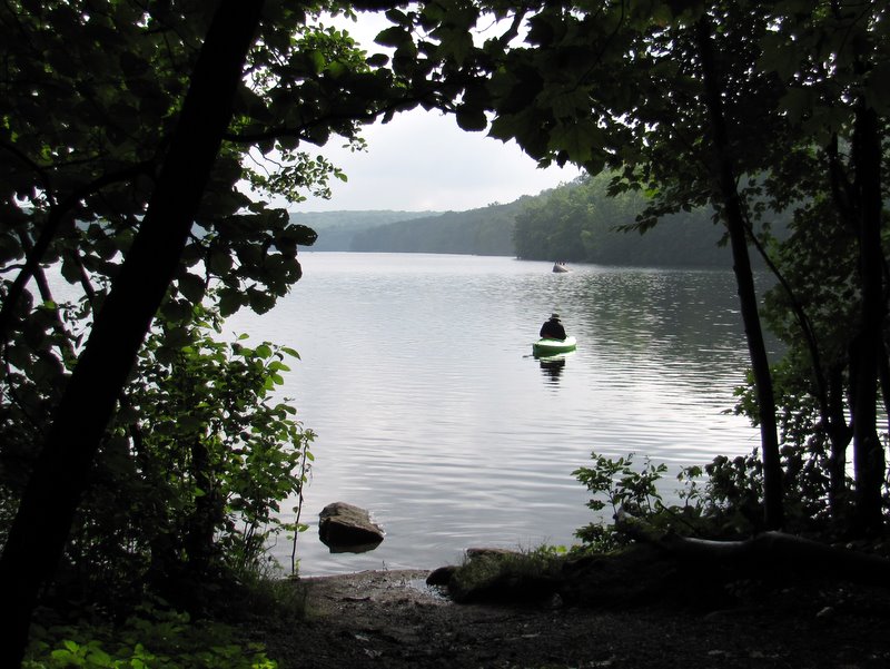
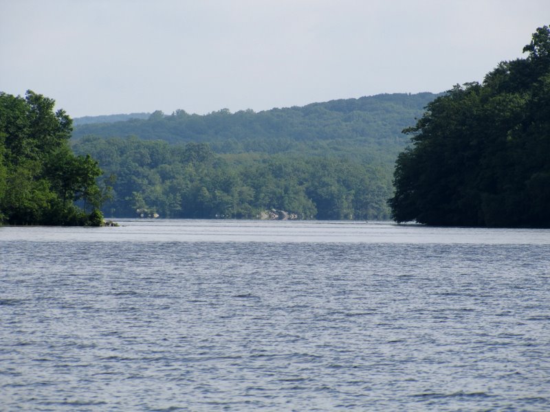
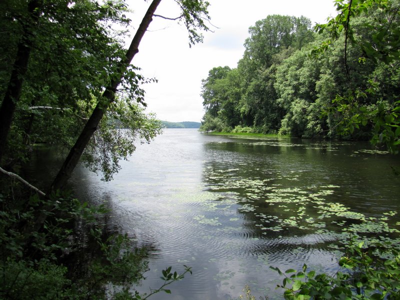
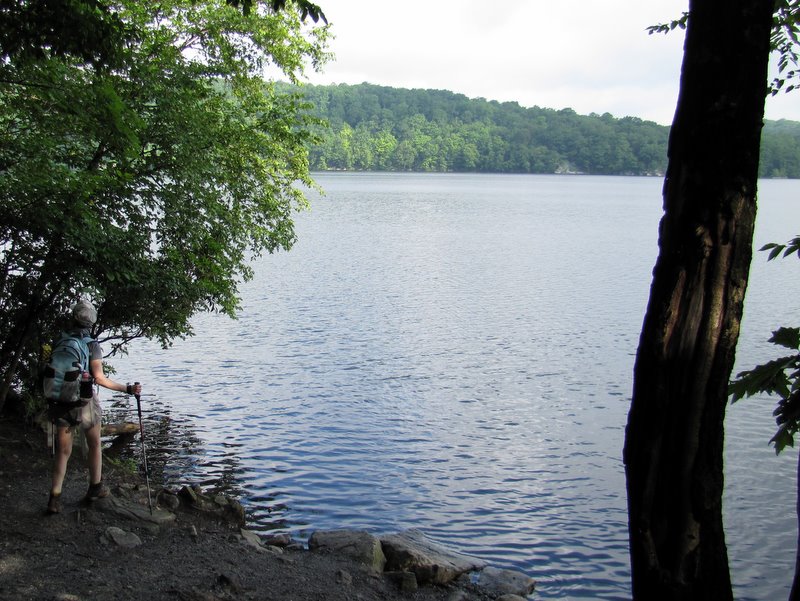 Splitrock Reservoir from near parking lot |
 View NE |
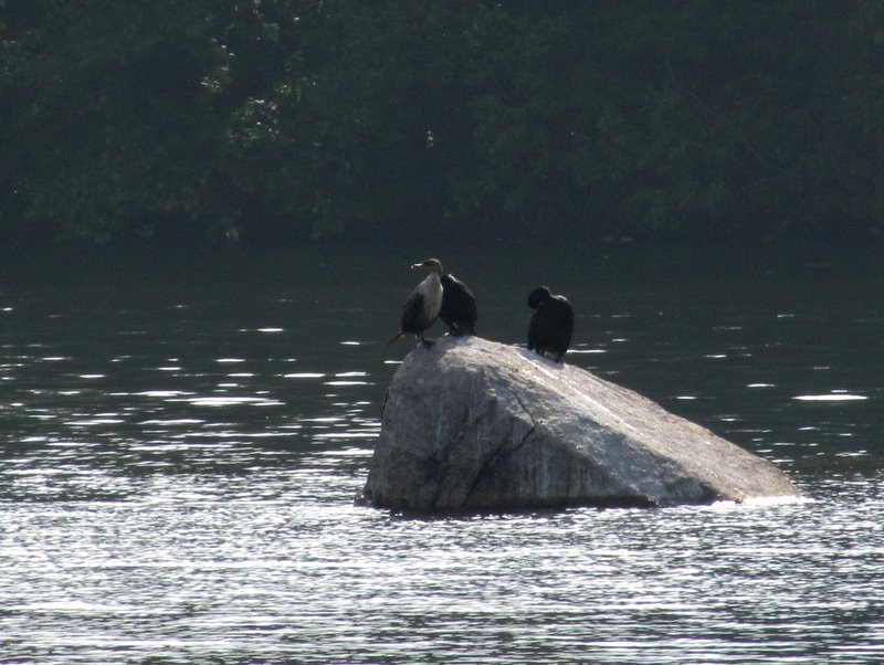 Cormorants |
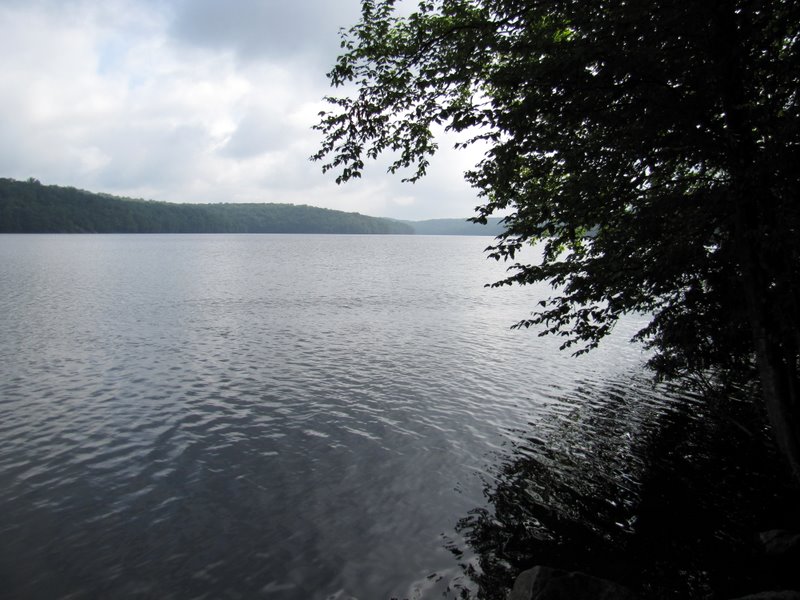
 View of eastern side |
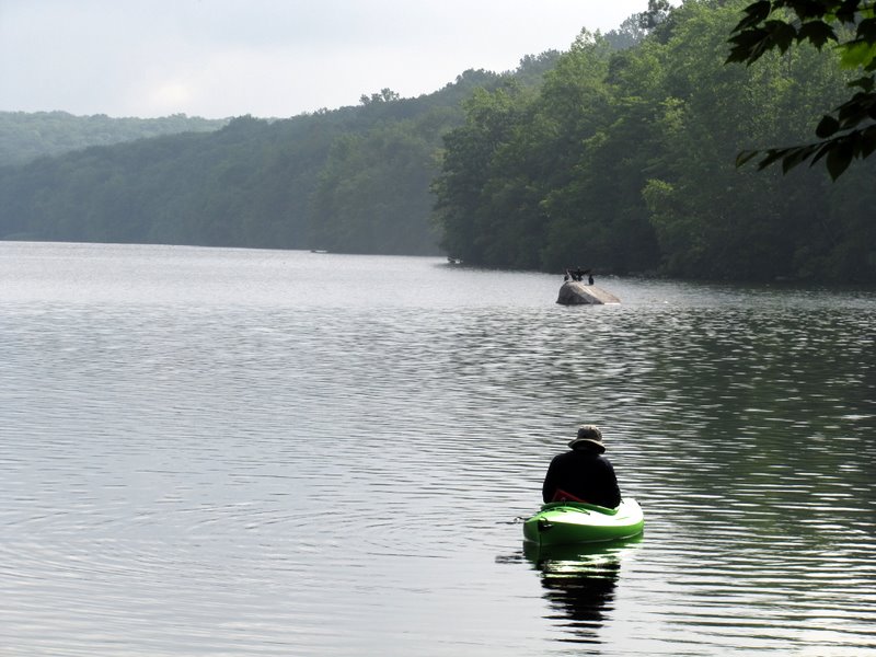 A lone kayaker |
 |
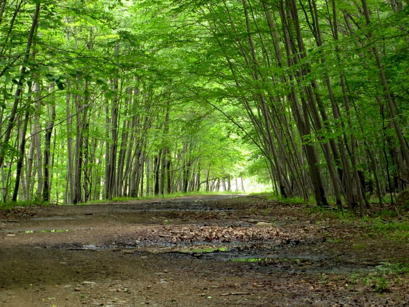
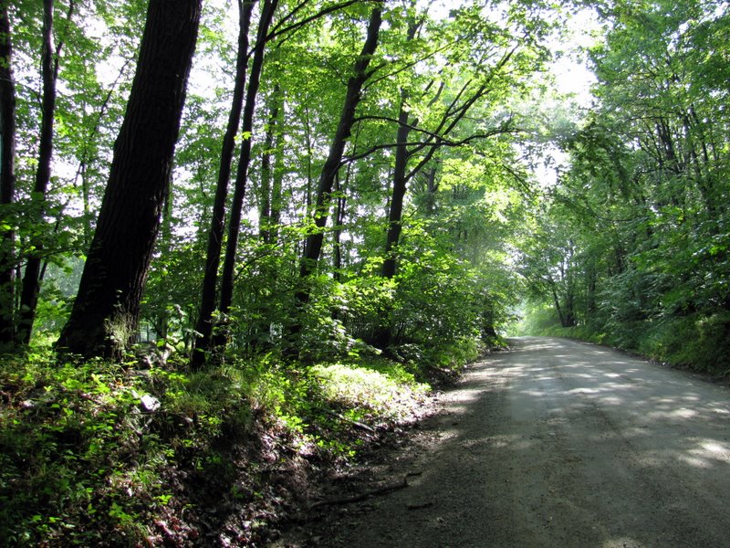 Splitrock Road looking east |
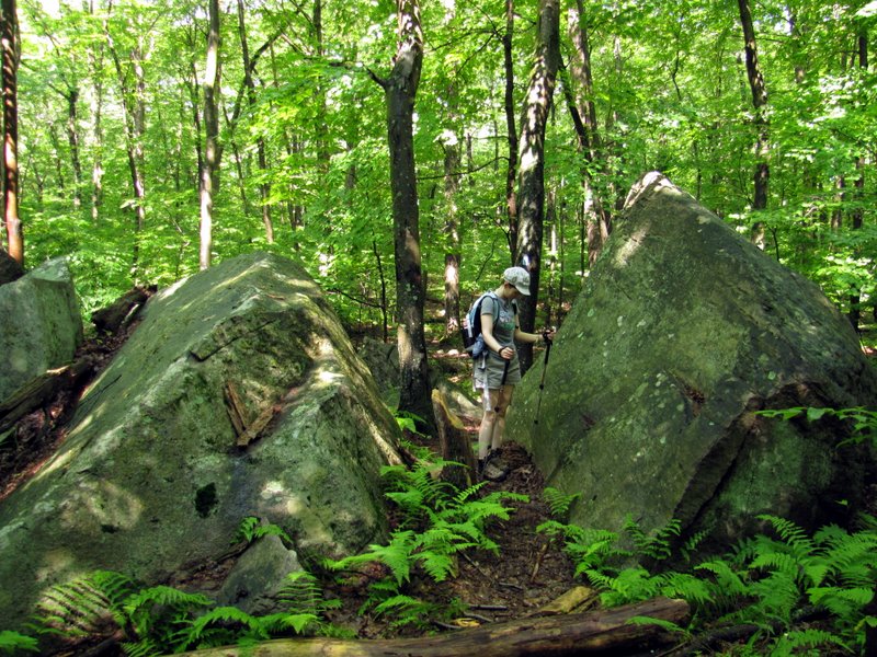
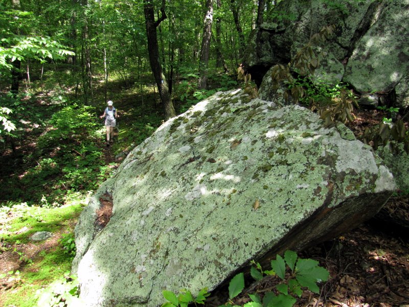
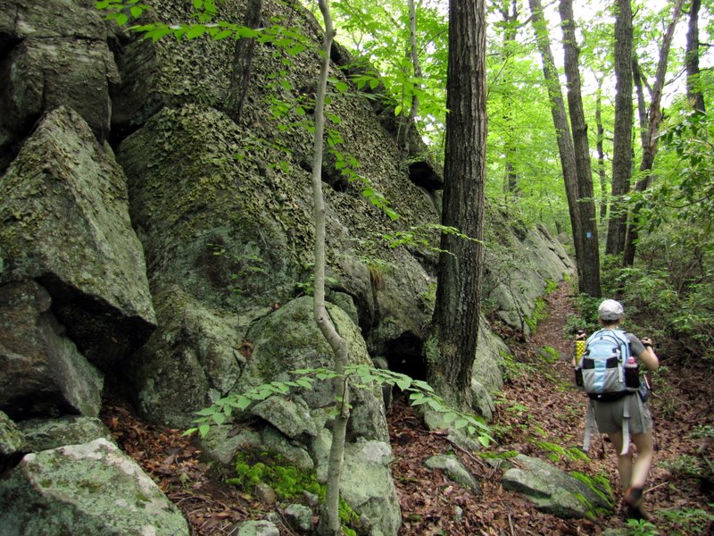
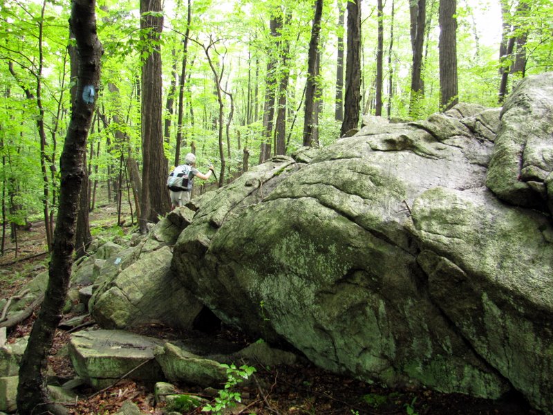 Giant rocks on Blue |
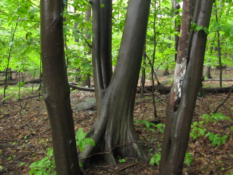 Smooth tree bark |
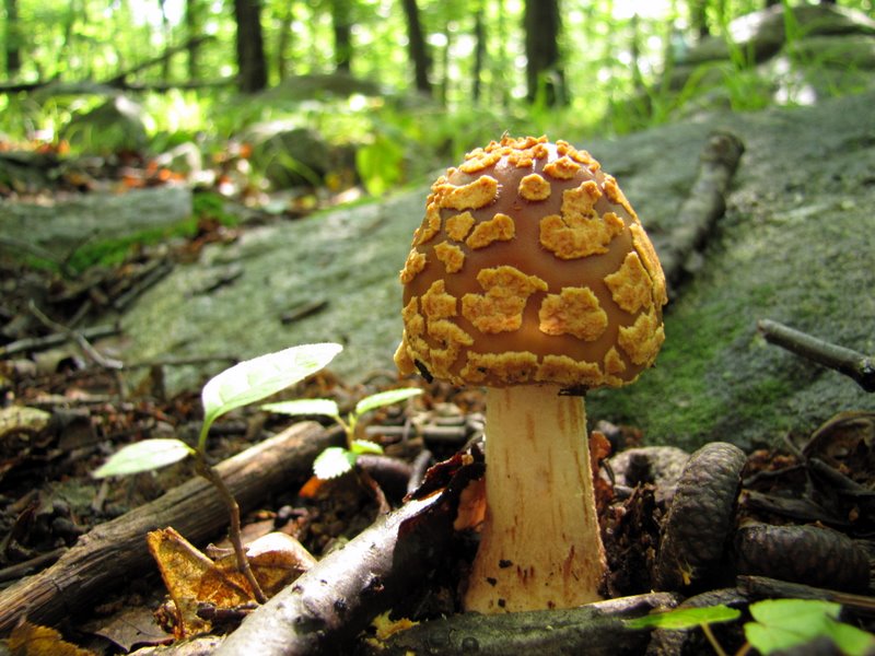
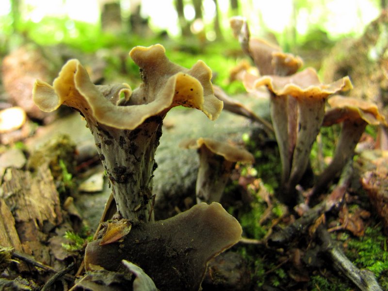
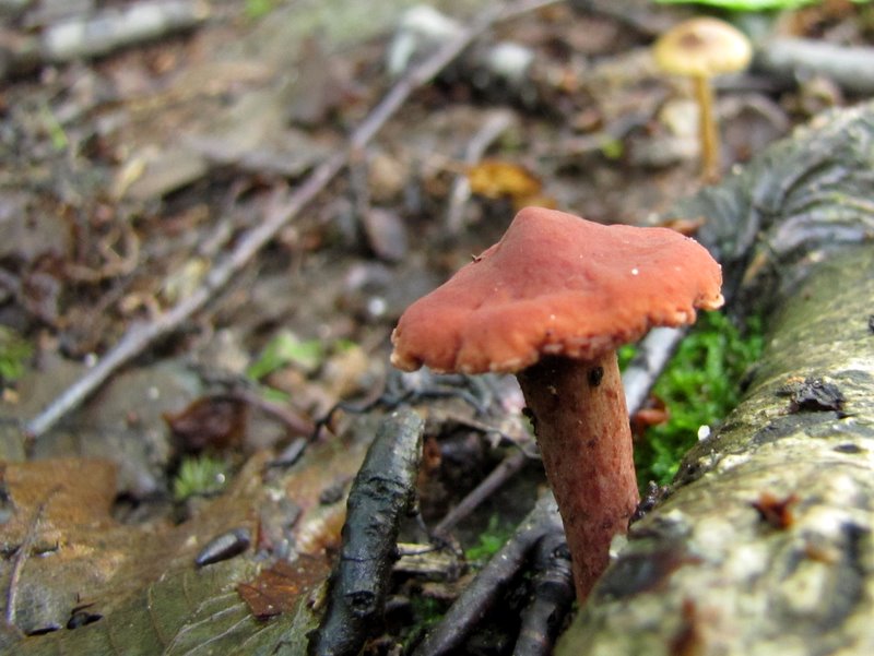 Tiny trail mushroom |
 More mushrooms |
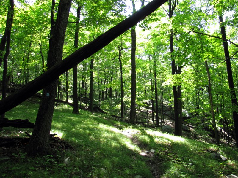
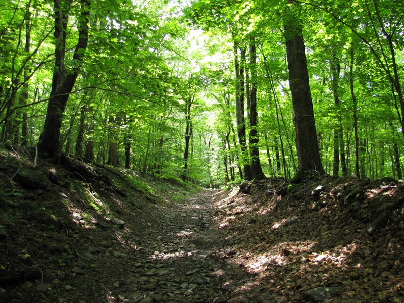
 A rocky blue trail in parts |
 Sun popping out |
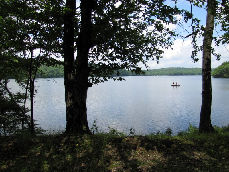
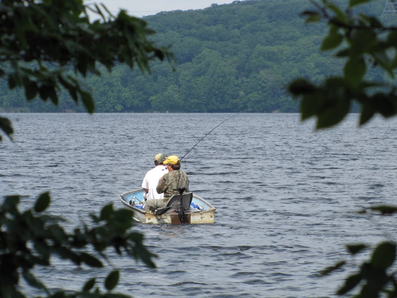 Fishermen in reservoir |
 View north to island in reservoir |
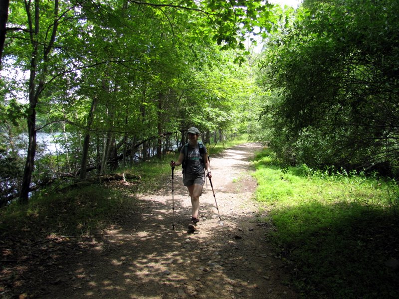
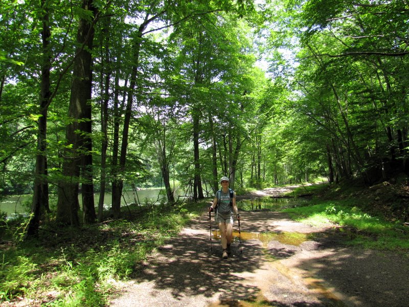
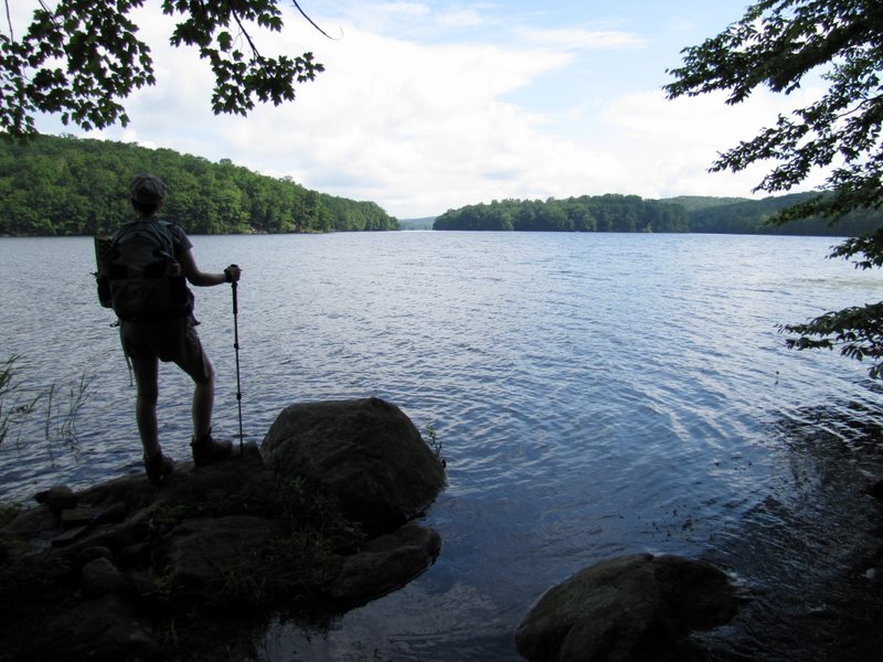 Laura looking north |
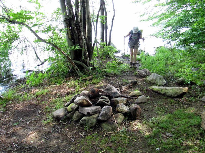 Fire ring |
 It was raining a bit |
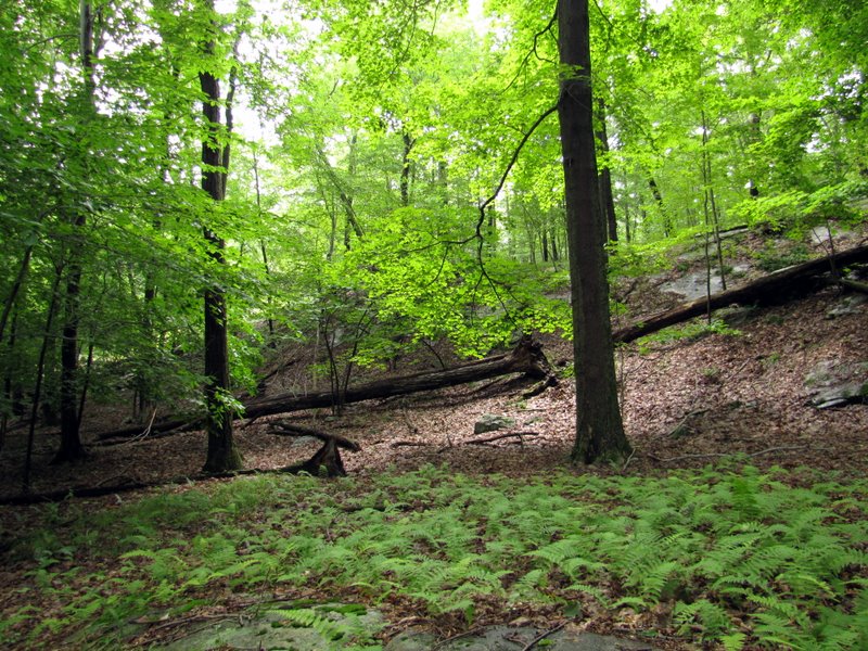
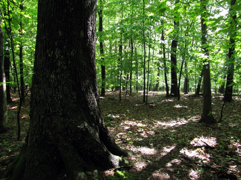 Very old growth |
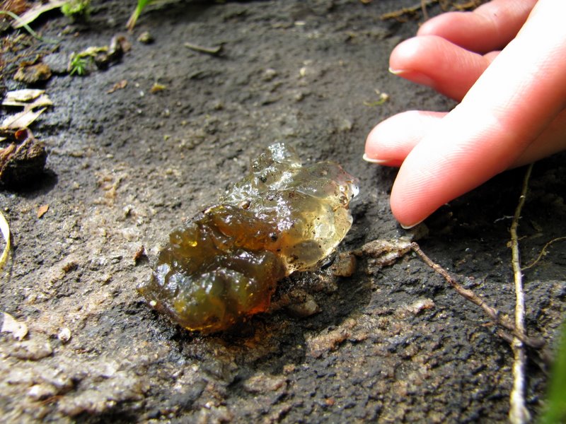
 Interesting glacial errata |
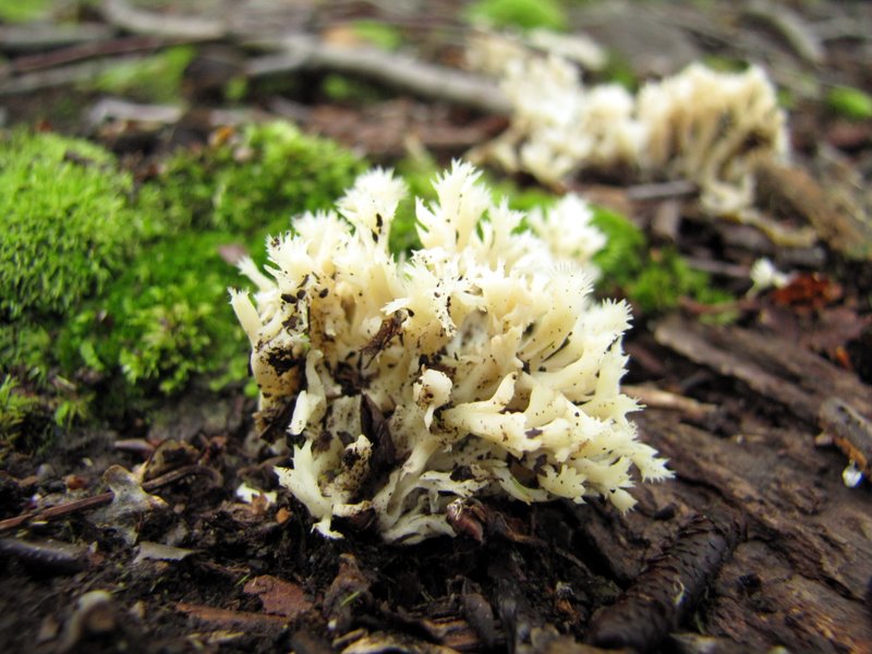
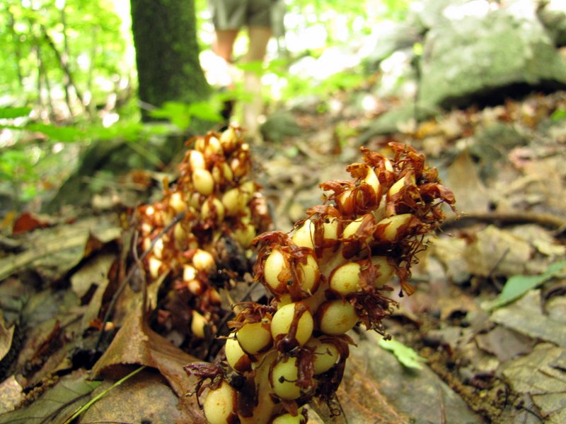
 Gorgeous mushroom |
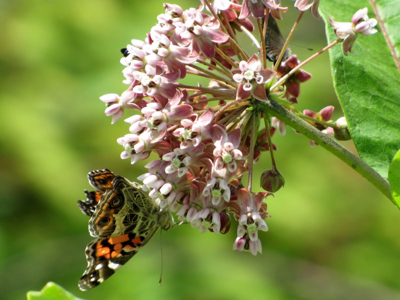
 Moth |
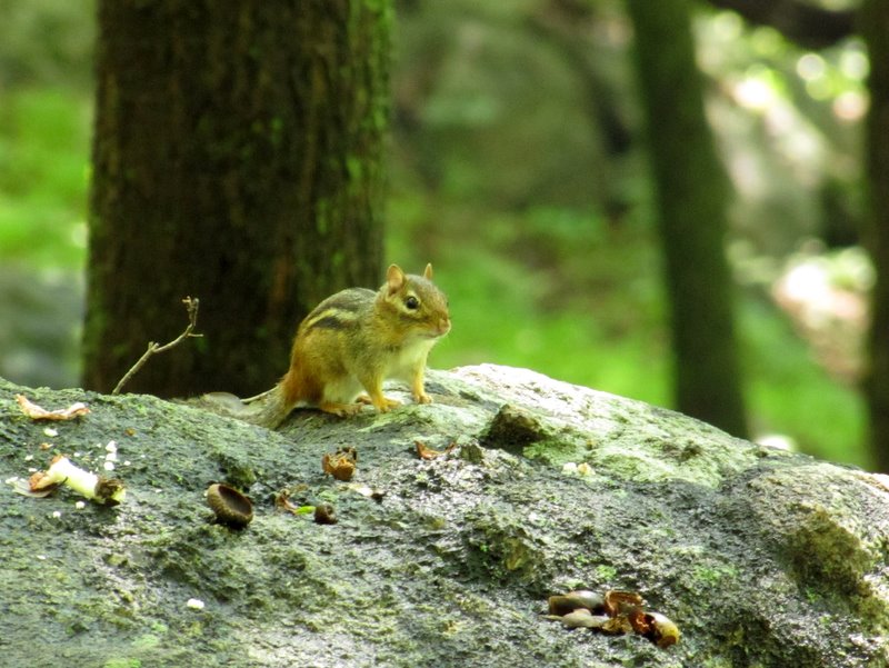 Chipmunk |
 |
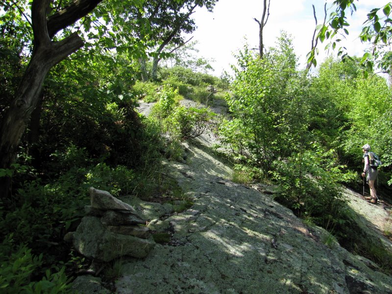
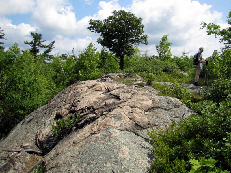
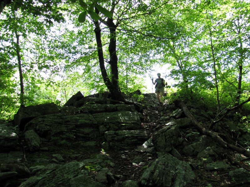
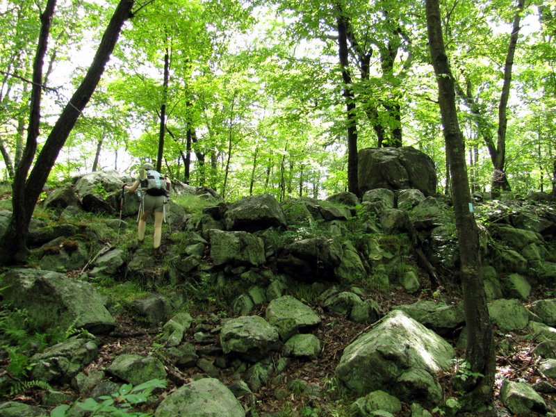 Rocky ascent |
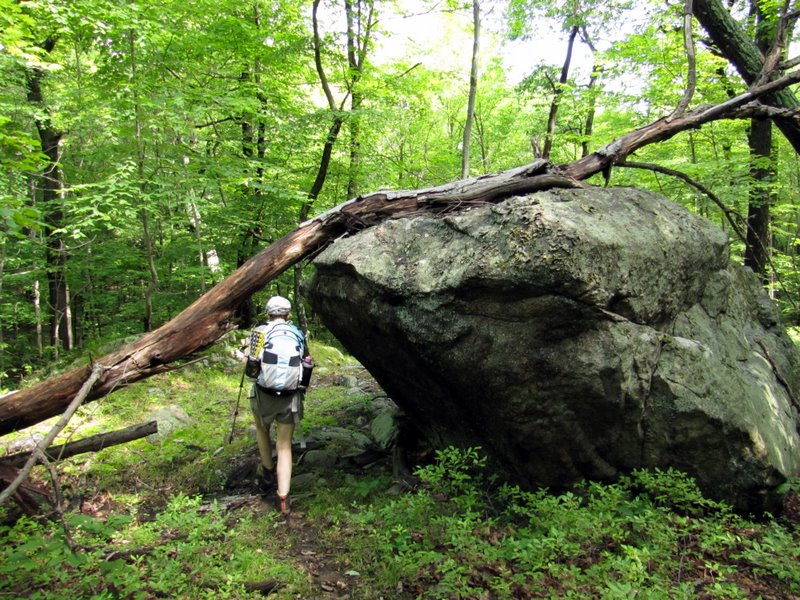
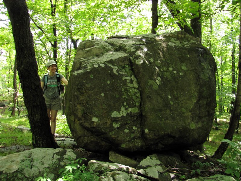 Glacial erratic |
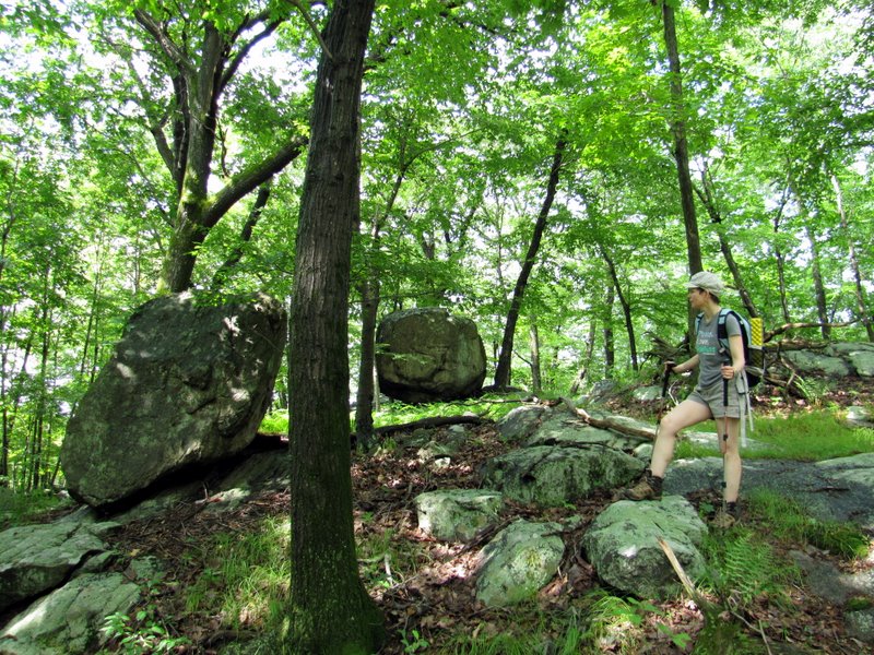 Two errata |
 They look like bugles |
 |
 What was that? |
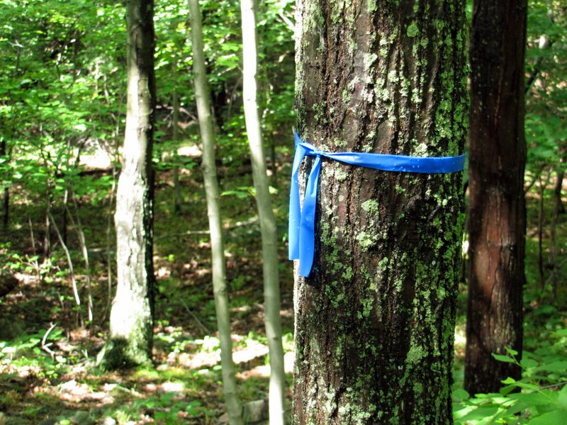 Ribbons to Double D Peak |
 Carins lead part of the way |
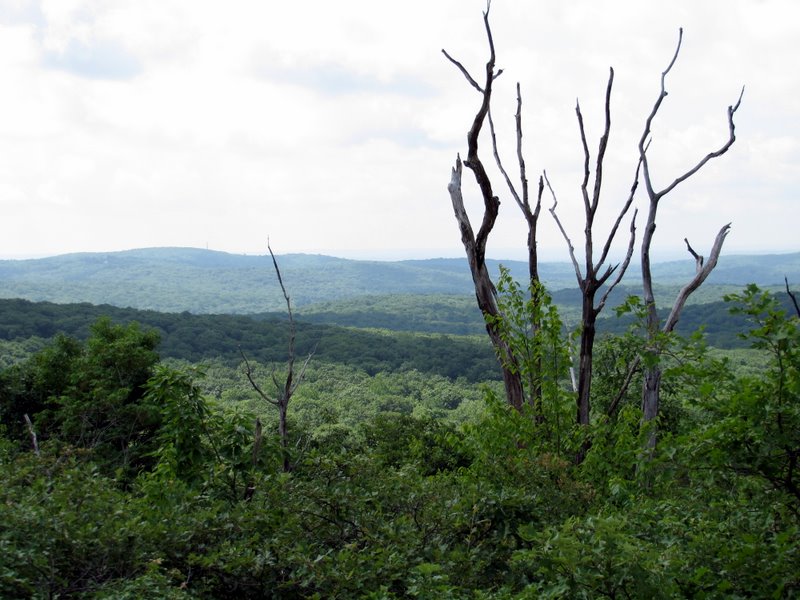 View SE from Double D Peak |
 [Photo by Laura] |
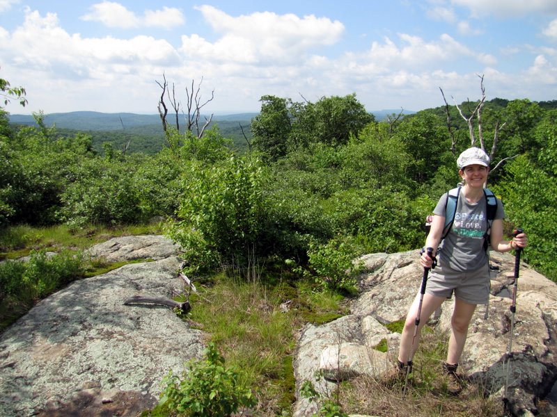
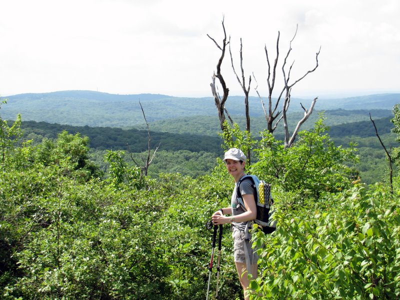 Laura at the view |
 View east |
 View west |
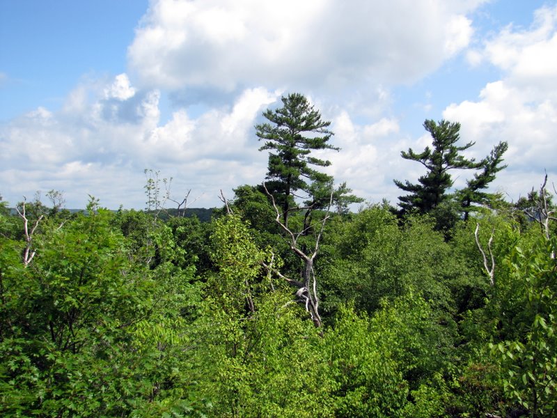 View west |
 |
 Interesting plants |
 More large ... |
 ... boulders on Blue |
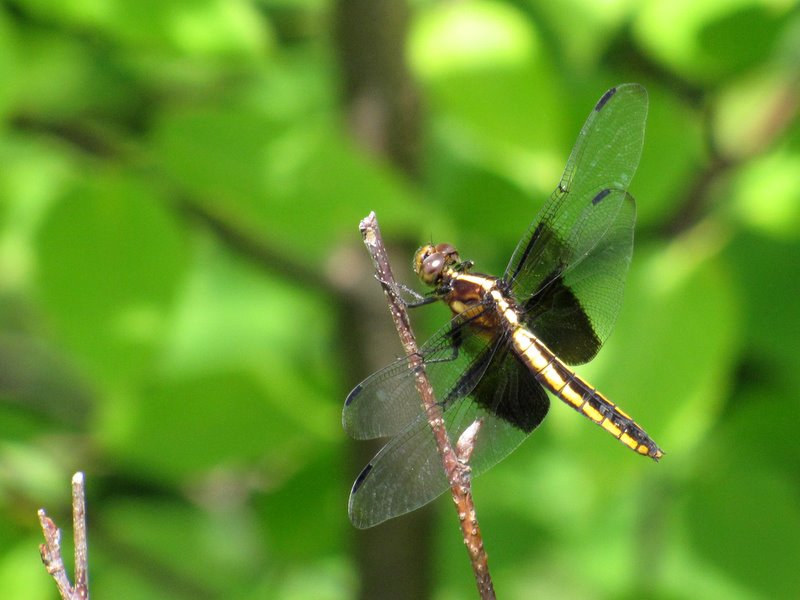 Dragonfly |
 |
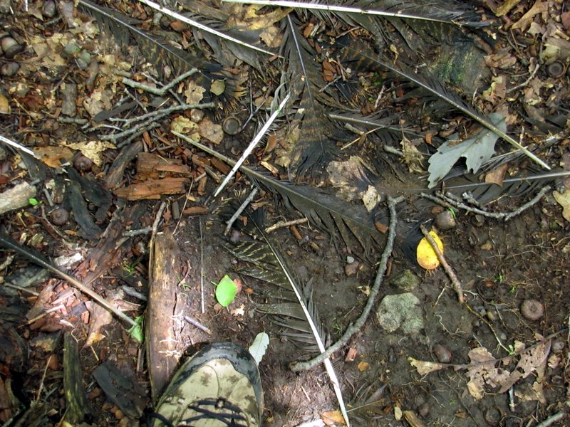 Hawk feathers? |
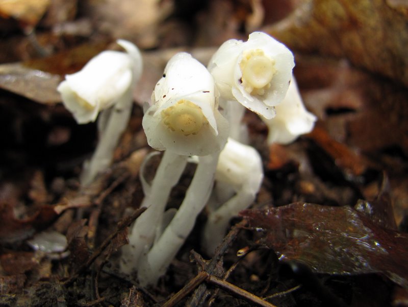 Lovely mushrooms |
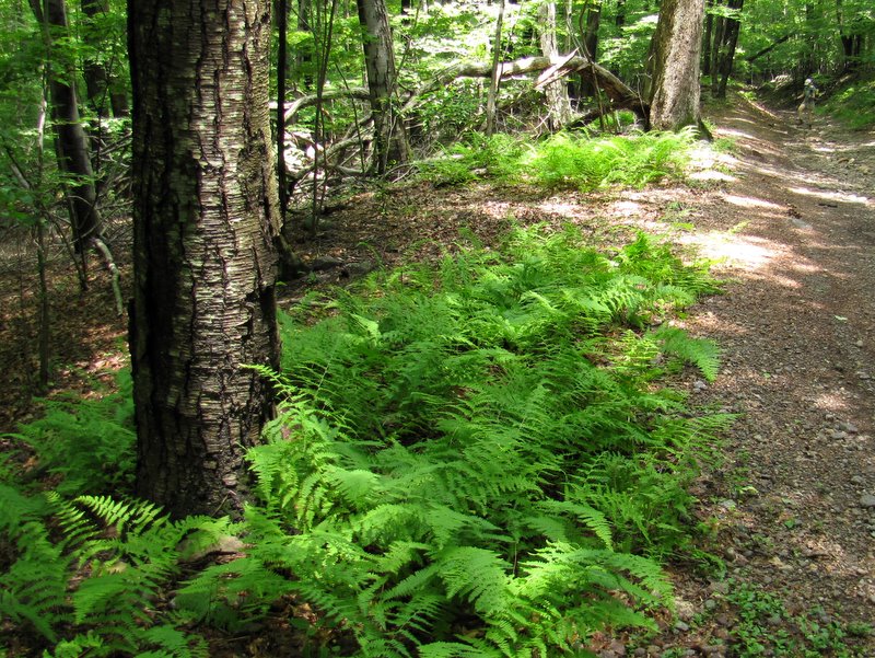
 Beautiful ferns |
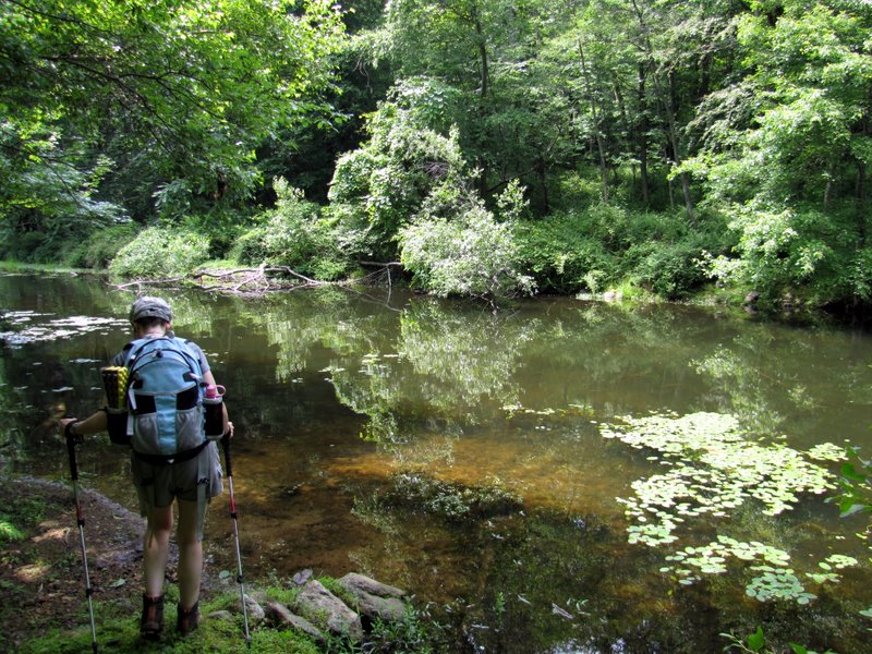
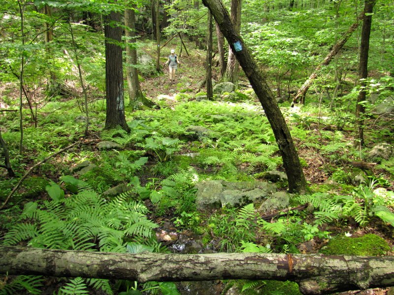 Laura approaching swampy area |
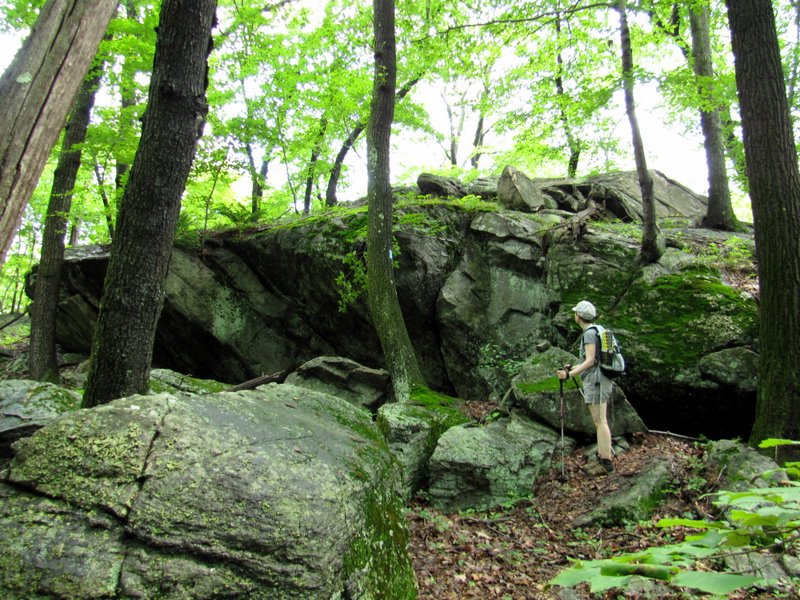
 Huge rock formations |
 Descending |
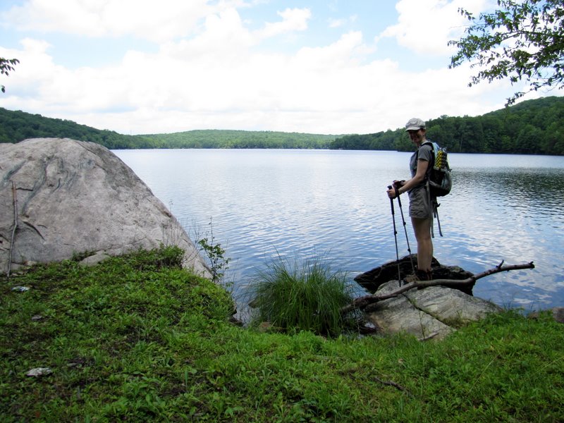
 Partial view ... |
 ... of Splitrock Reservoir |
 Descending |
 |
 View west of reservoir |
 Ponds on Charlottesburg Road |
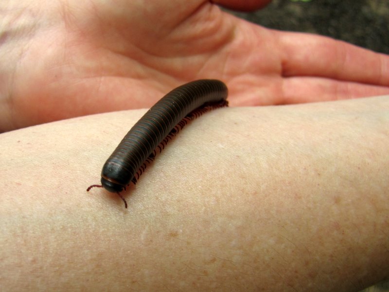 Millipede |
 Fishermen ... |
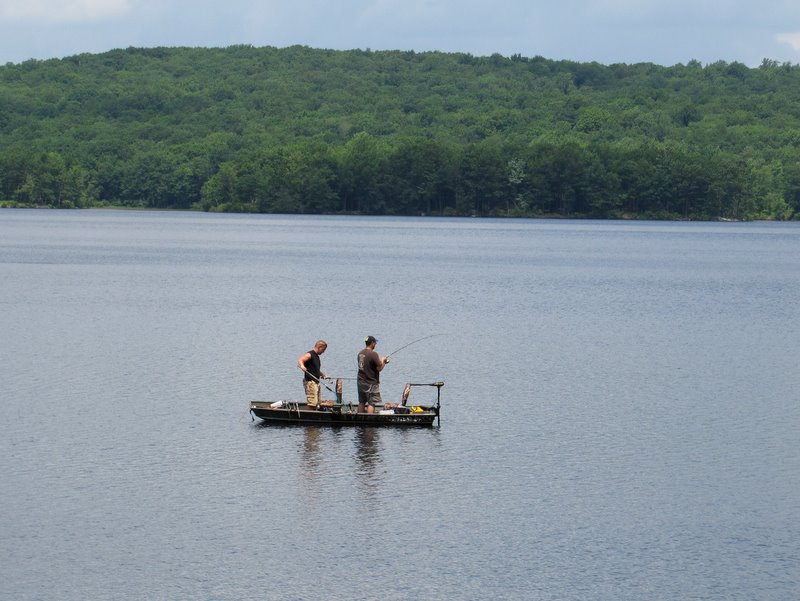 ... in the reservoir |
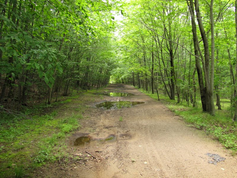
 Charlottesburg Road |
 View south |
 [Photo by Laura] |
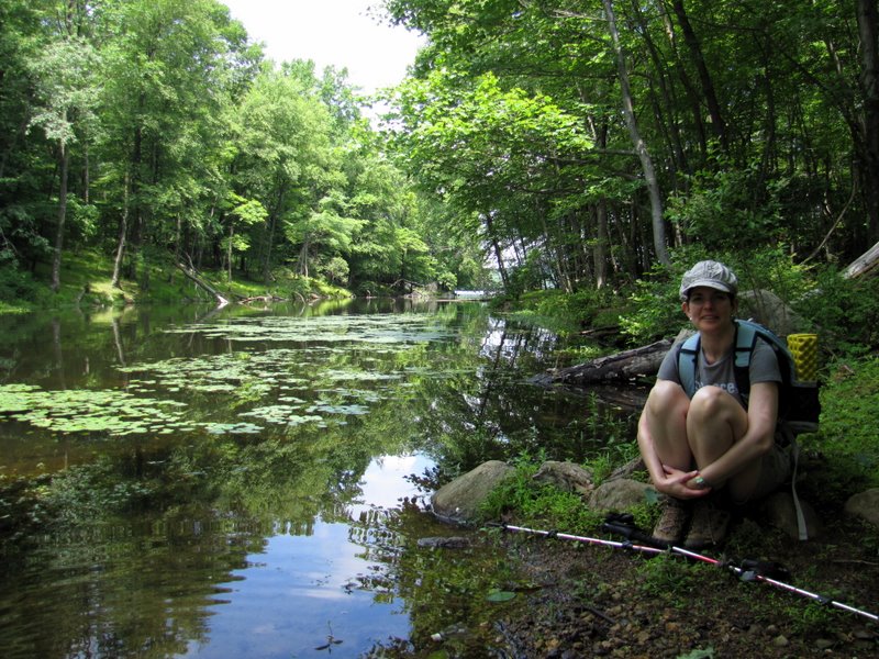
 Laura at reservoir |
 A wet Charlottesburg road looking south |
 Looking back north |
 Reservoir island across |
 Water inlet between island and road |
 View south |
 Continuing on Charlottesburg Road |
 Two "almost"-frogs in puddle |
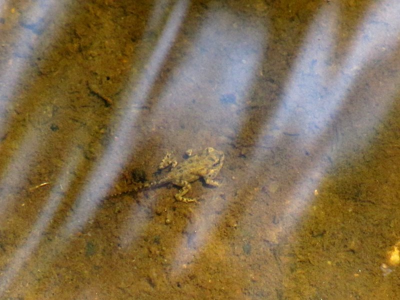 This guy is almost a frog! |
 Traffic hasn't passed here lately |
 Road gets really rocky |
 Ferns with Laura in back |
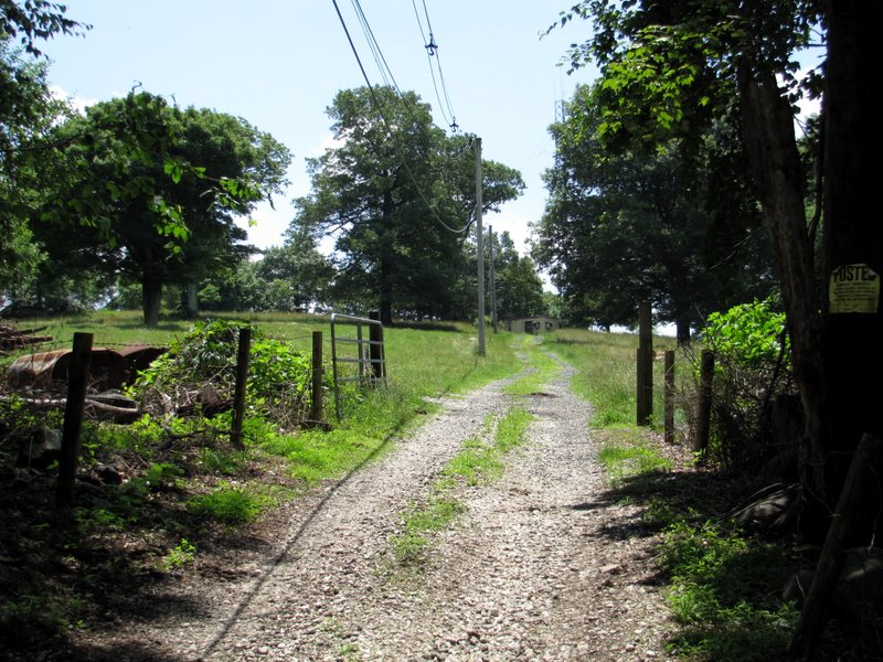
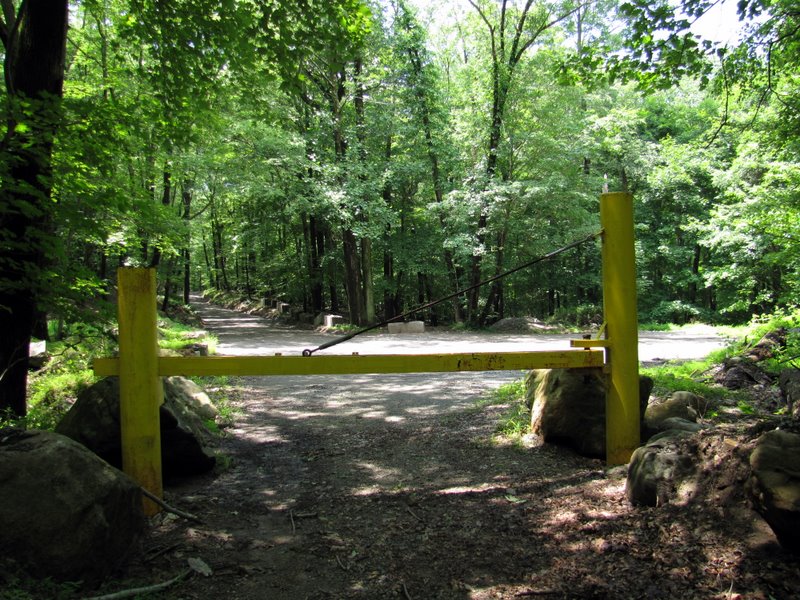 Gate closed |
 Private road branches off |
 Another private road |
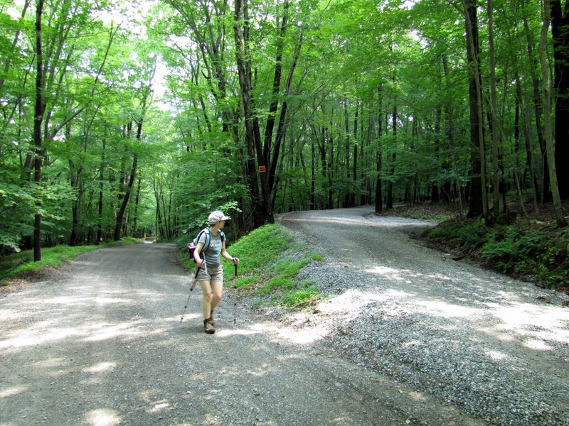
 Charlottesburg road heading west now |
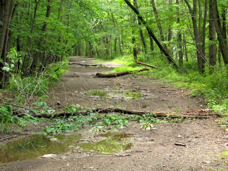
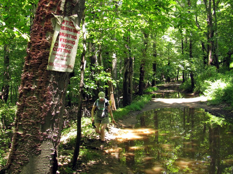 Very wet |
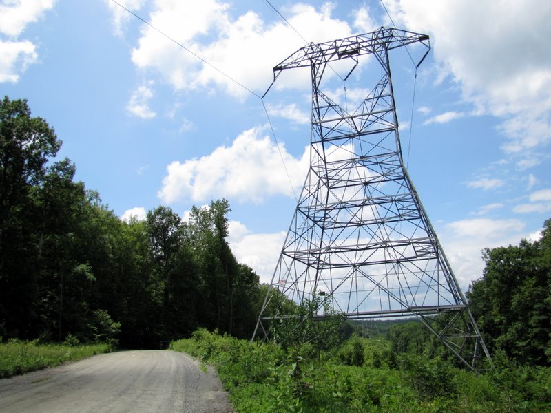 Back to powerline cut ... |
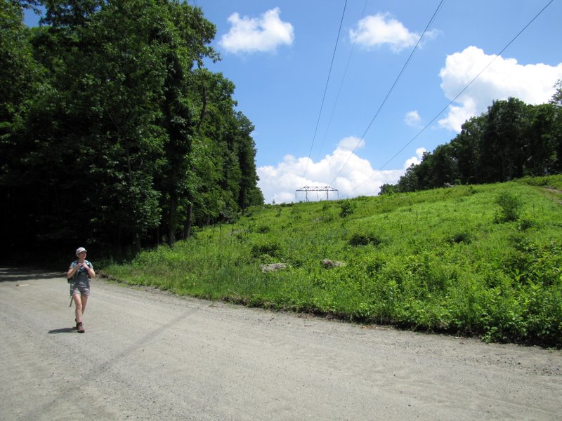 ... on Splitrock Road |
 Laura enjoying ... |
 ... raspberries |
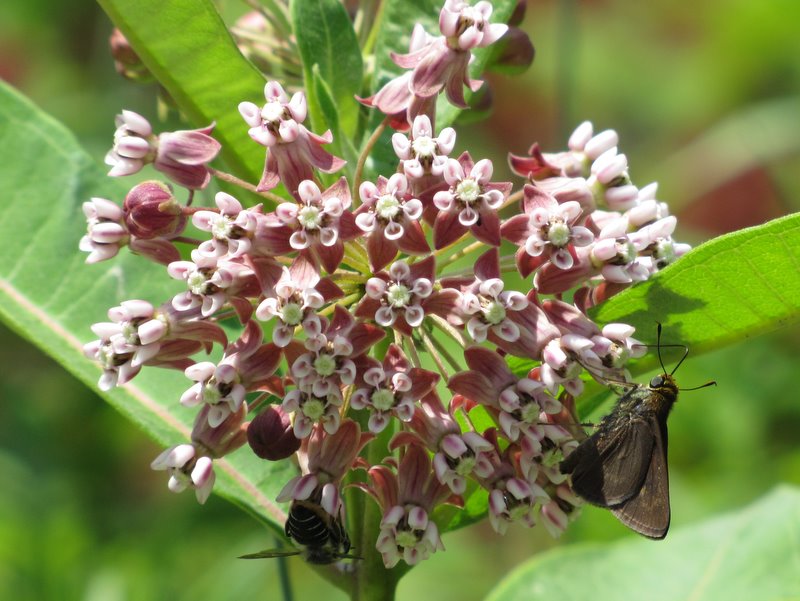 Bees & moth enjoying ... |
 ... pollen |
 Iris off road |
 View of reservoir from road |

|
|
Photographs and content copyright © Dan Balogh Web design by Dan Balogh |