 |
|
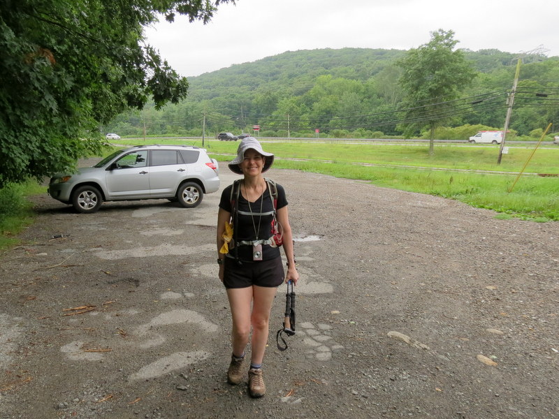
Today we had planned on hiking from parking area P5 on Clinton Road north along the Bearfort Waters Clinton trail. But virtually the moment we got off Route 23, we encountered a downed tree
across Clinton Road and the road was closed. We could have attempted getting to P5 from the north, but this would have required a lot of driving on roads which could have also had
problems with downed trees from Tuesday's Storm Isaias. So we decided to stick to the main road, Route 23, and started a hike from the large parking lot on Route 23 at Canistear Road.
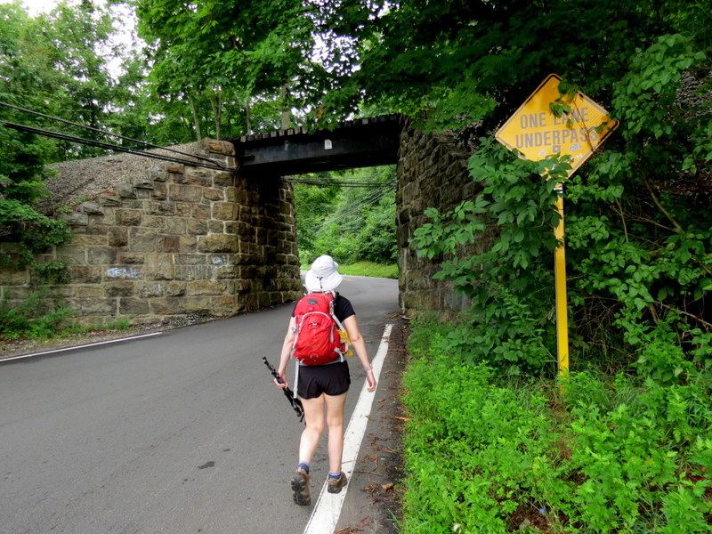
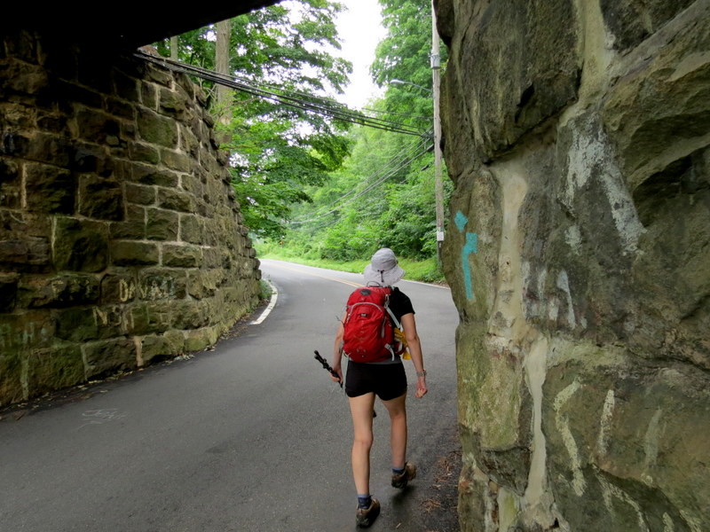
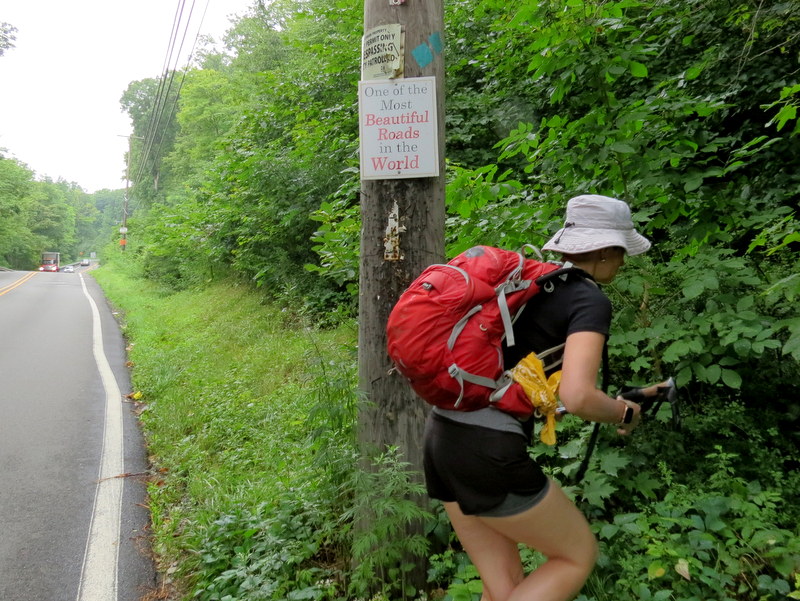
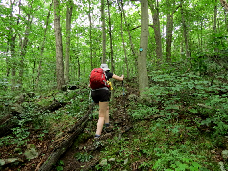
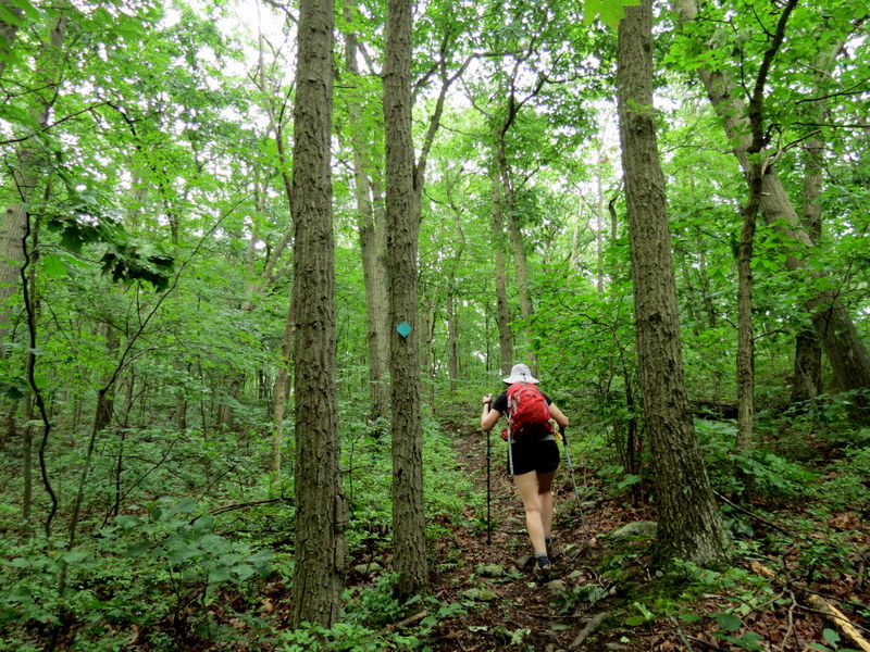
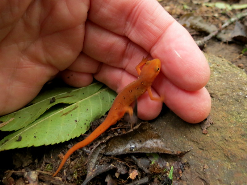
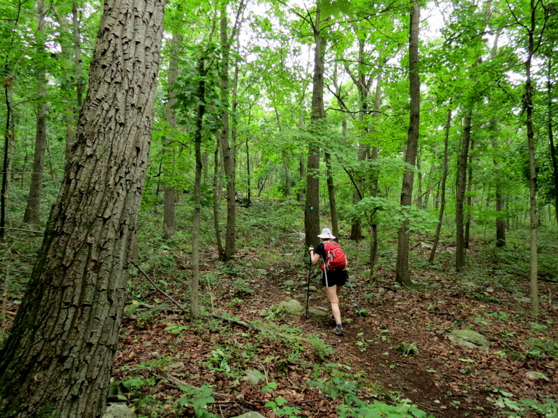
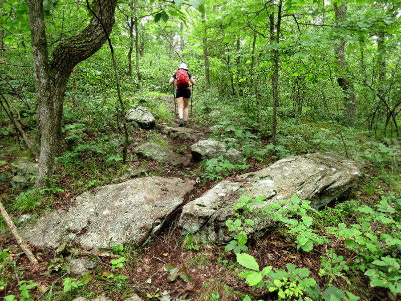
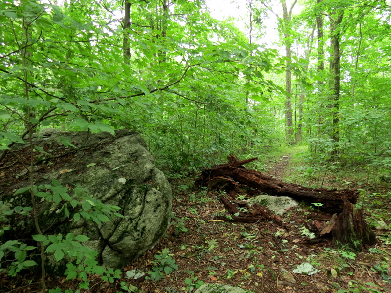
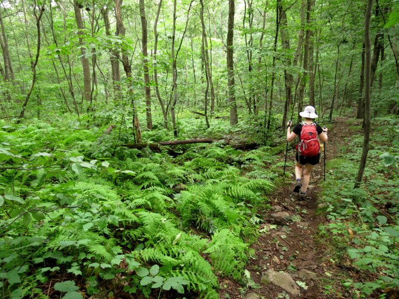
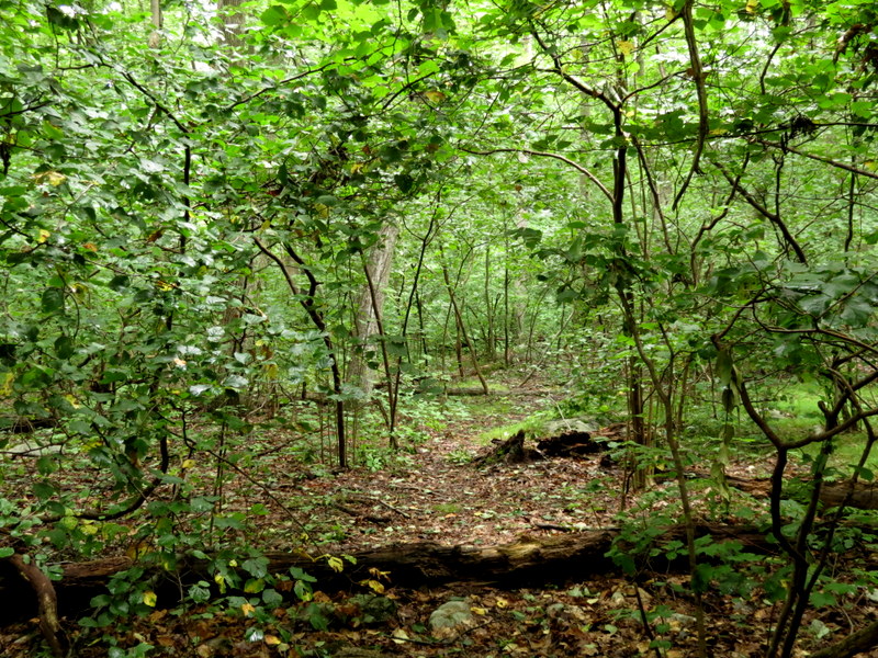
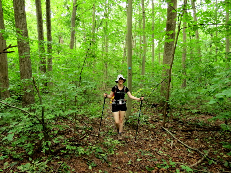
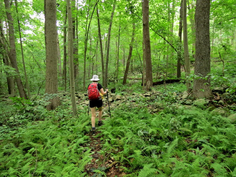
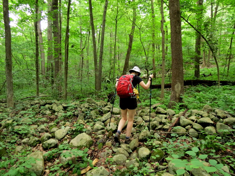
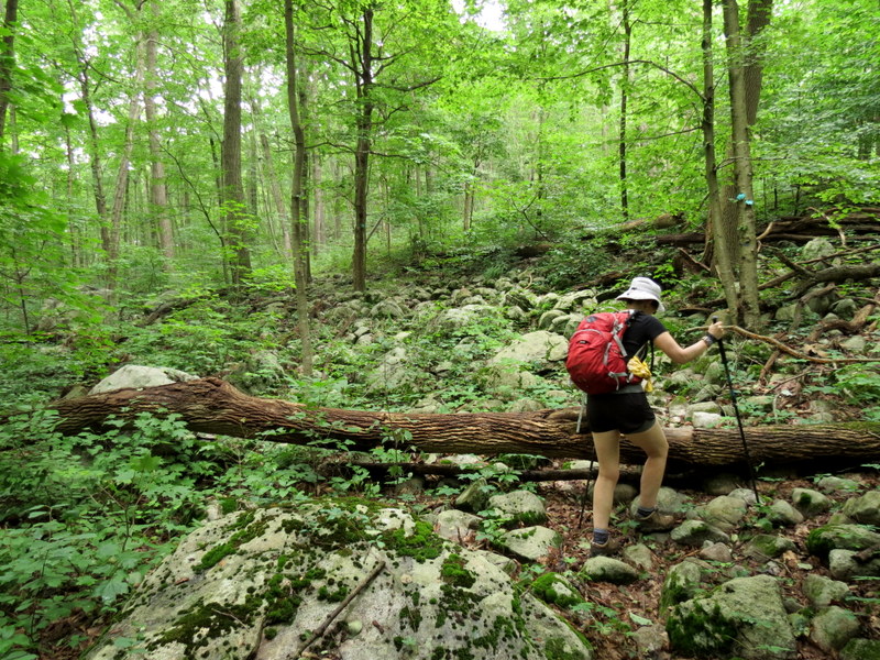
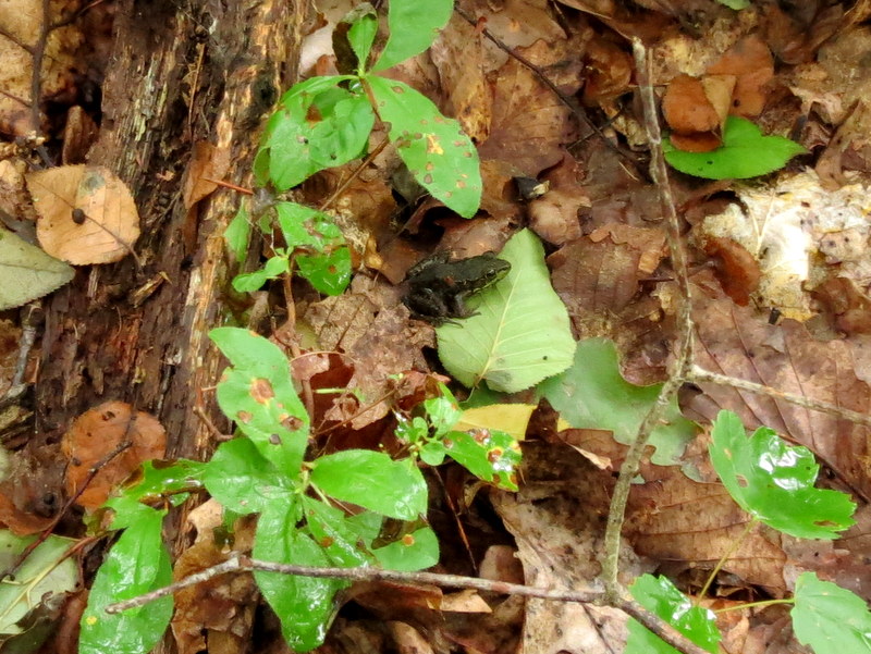
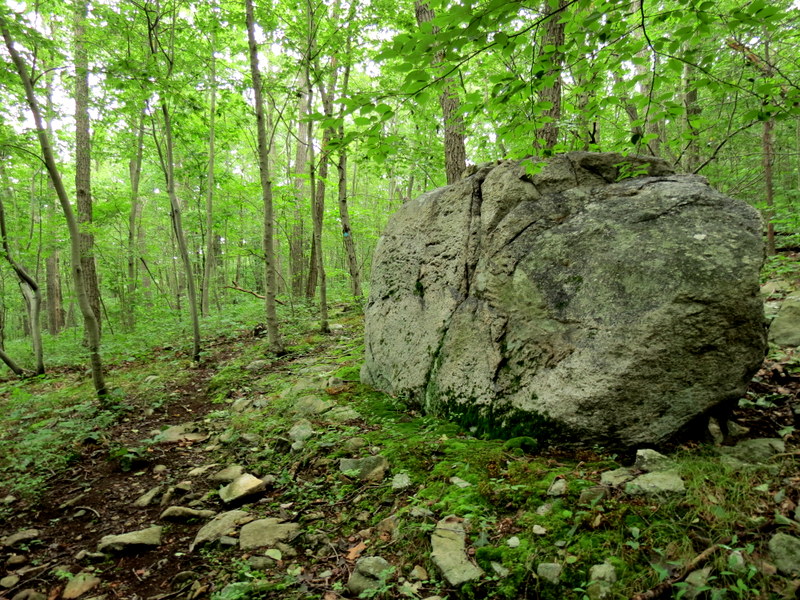
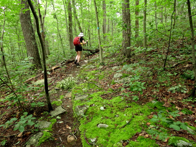
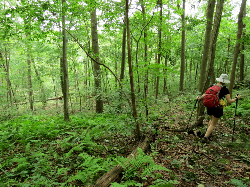
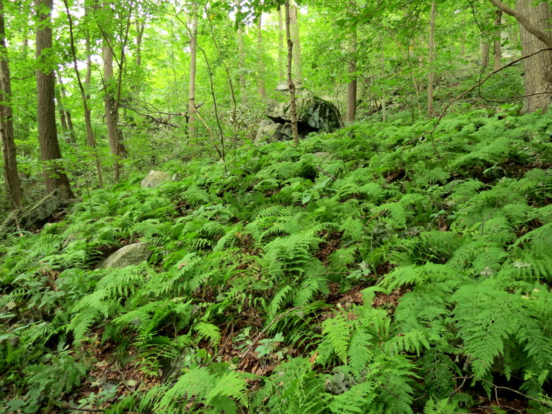
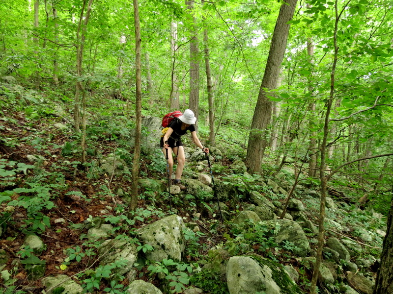
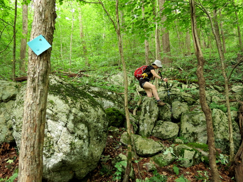
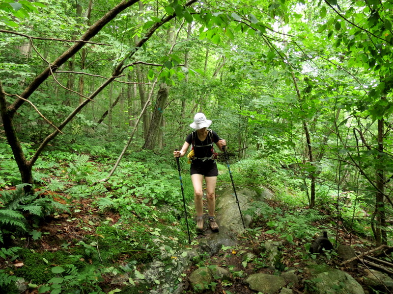
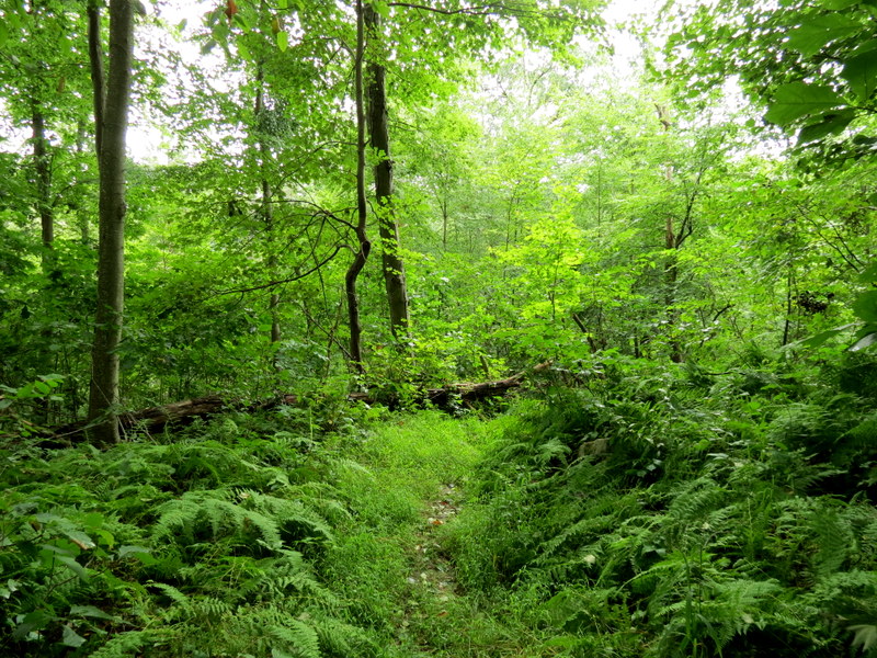
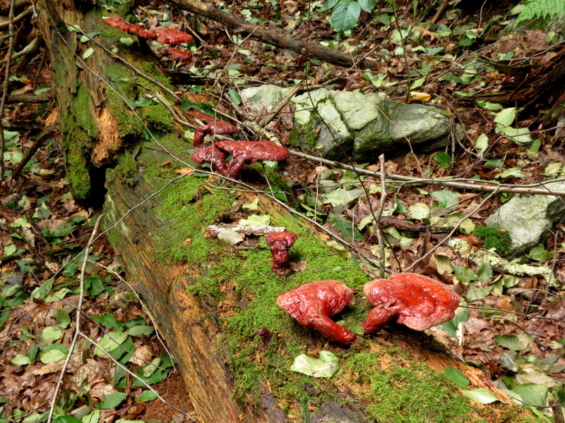
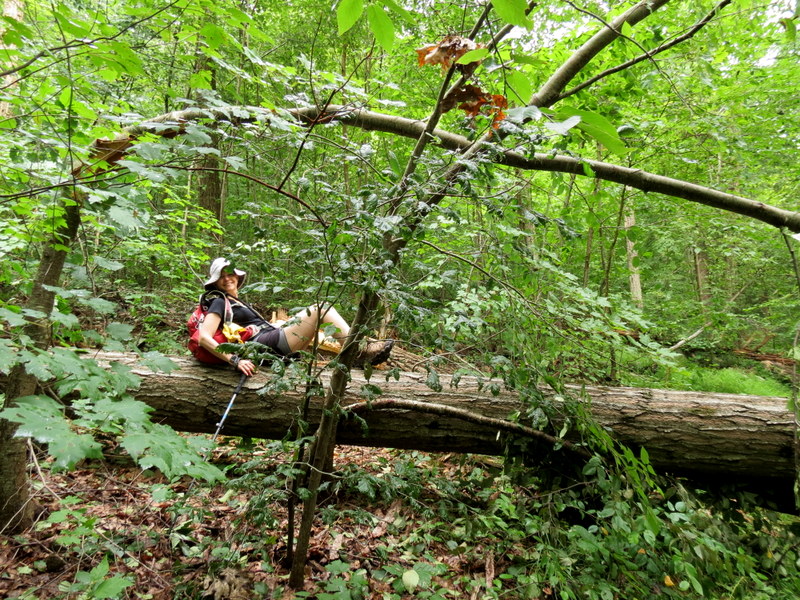
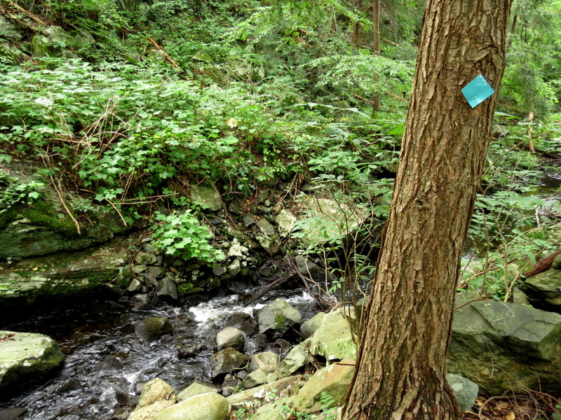
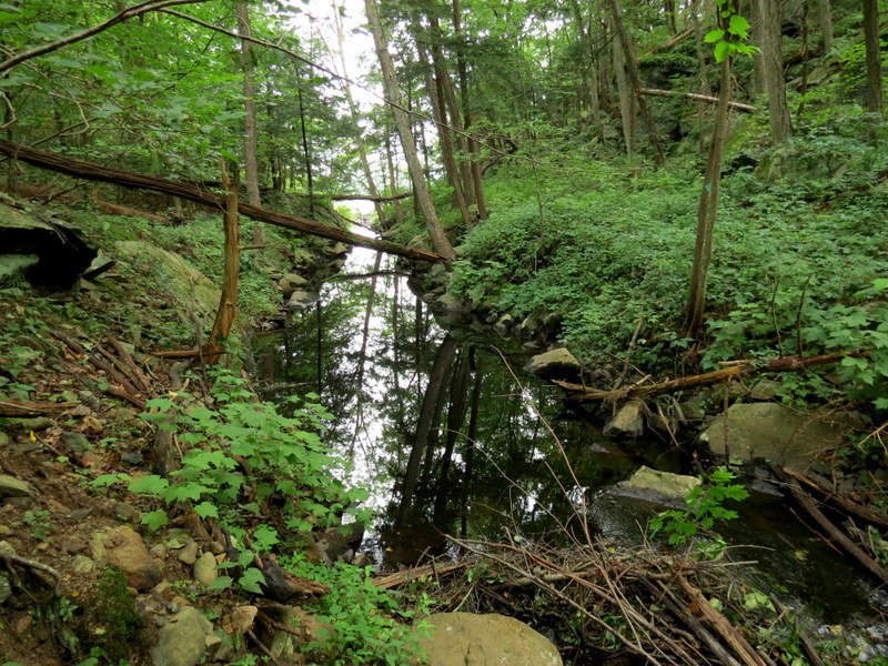
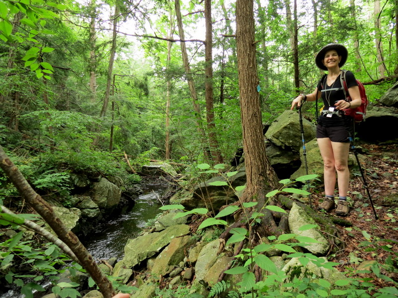
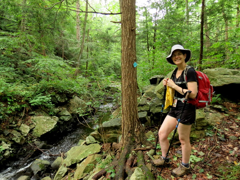
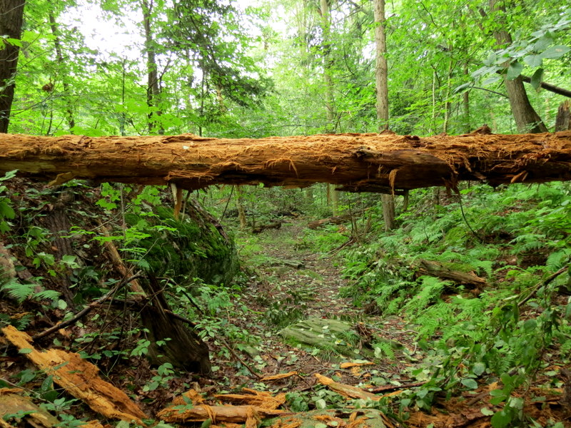
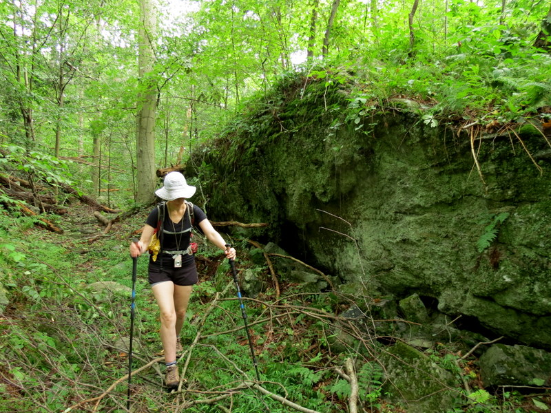
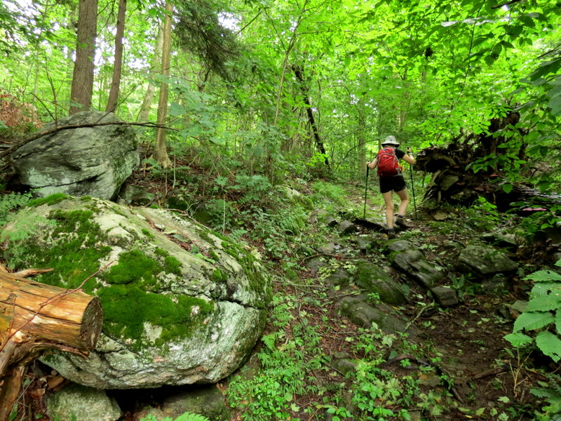
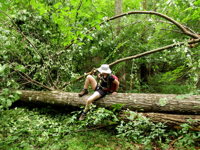
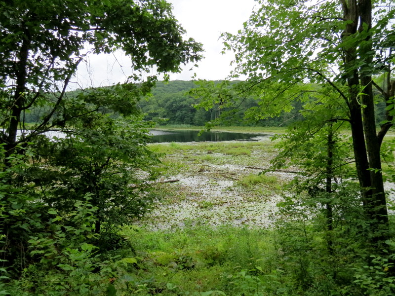
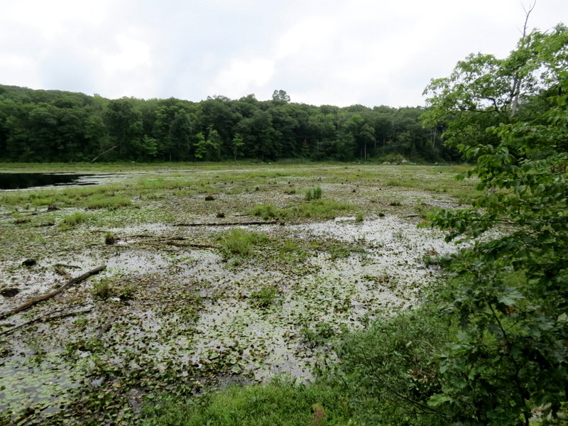
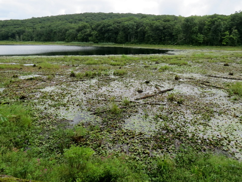
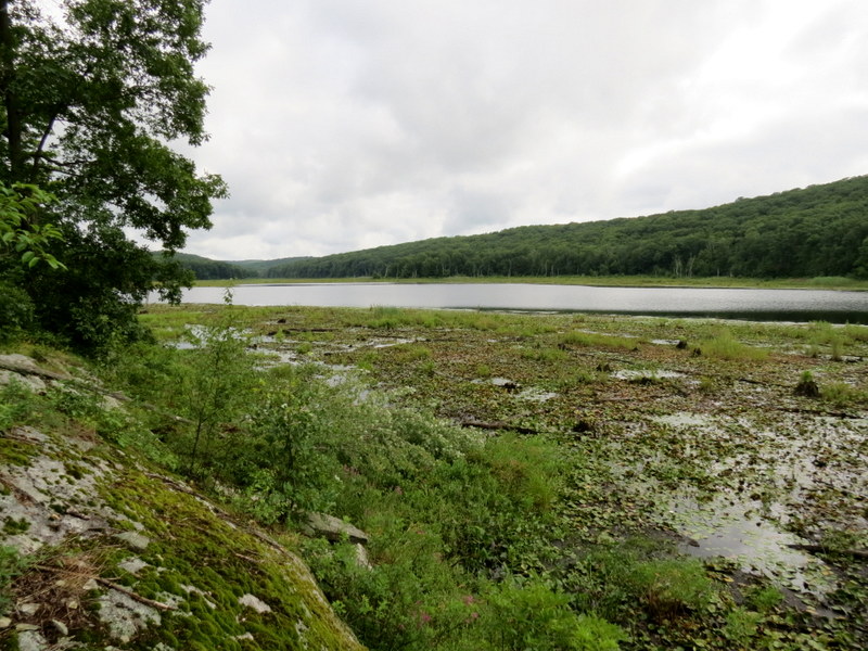
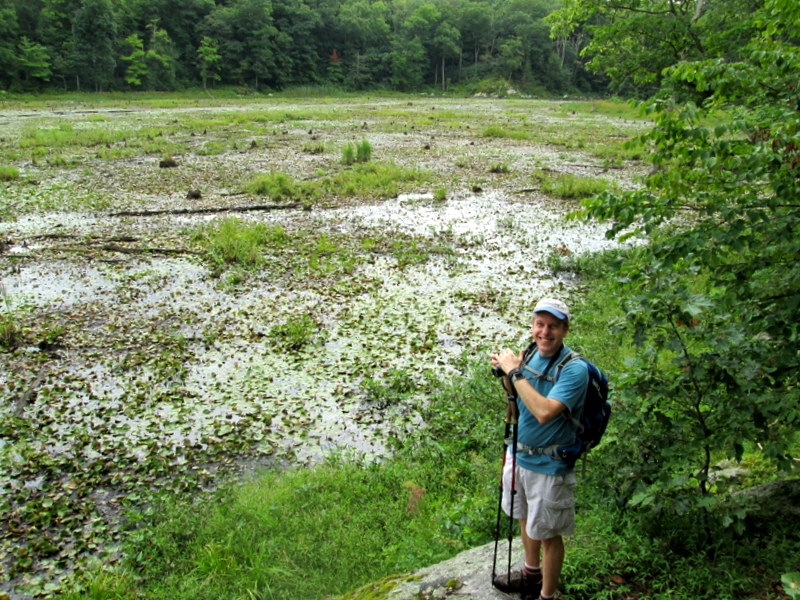
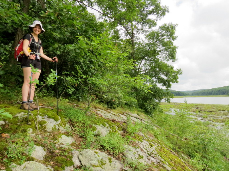
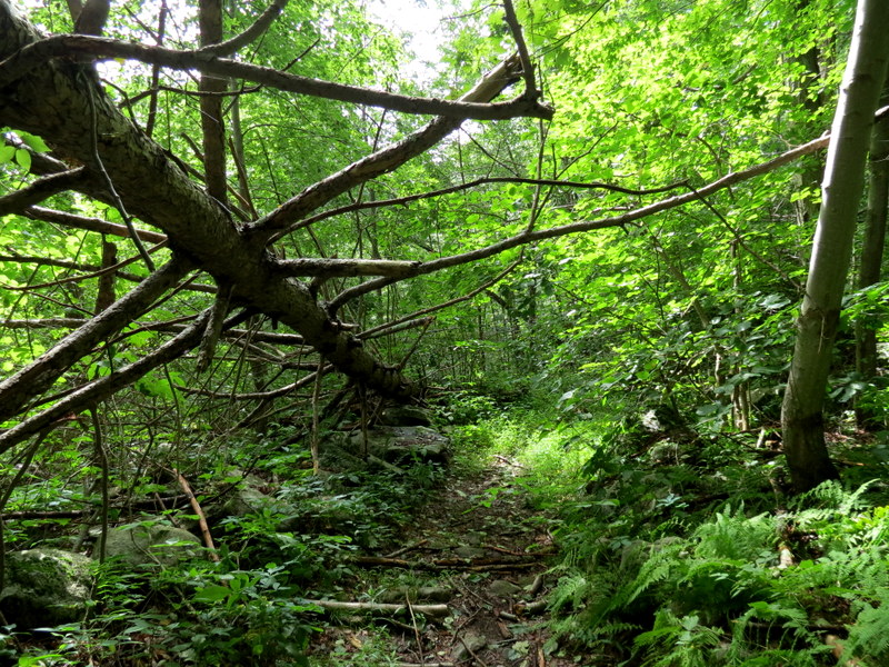
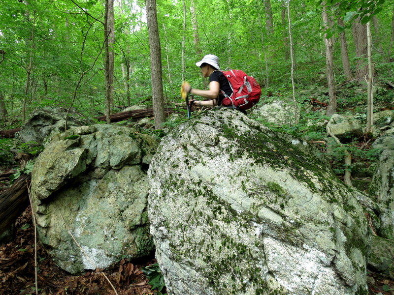
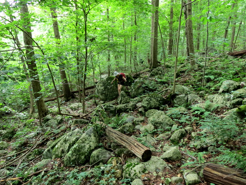
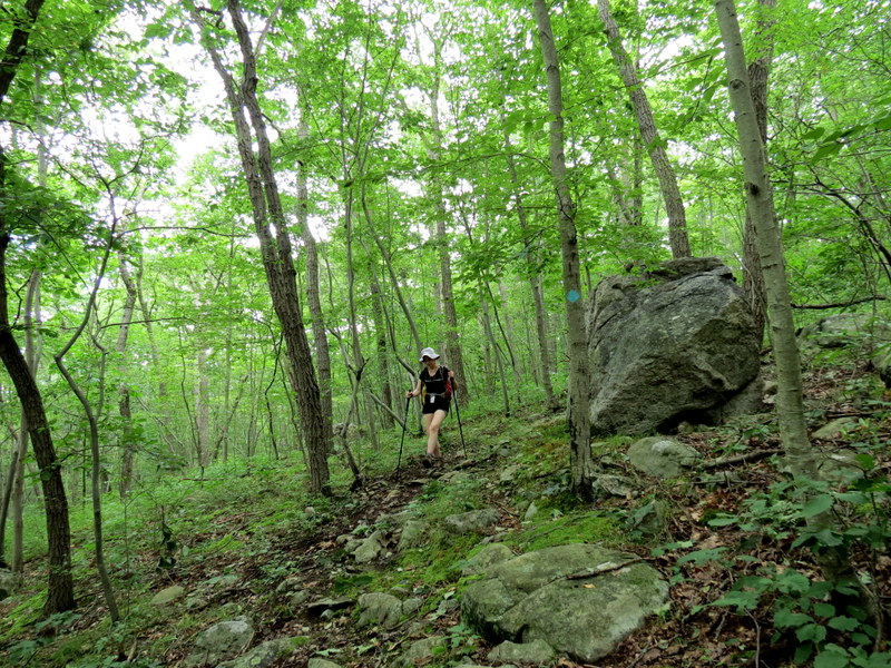
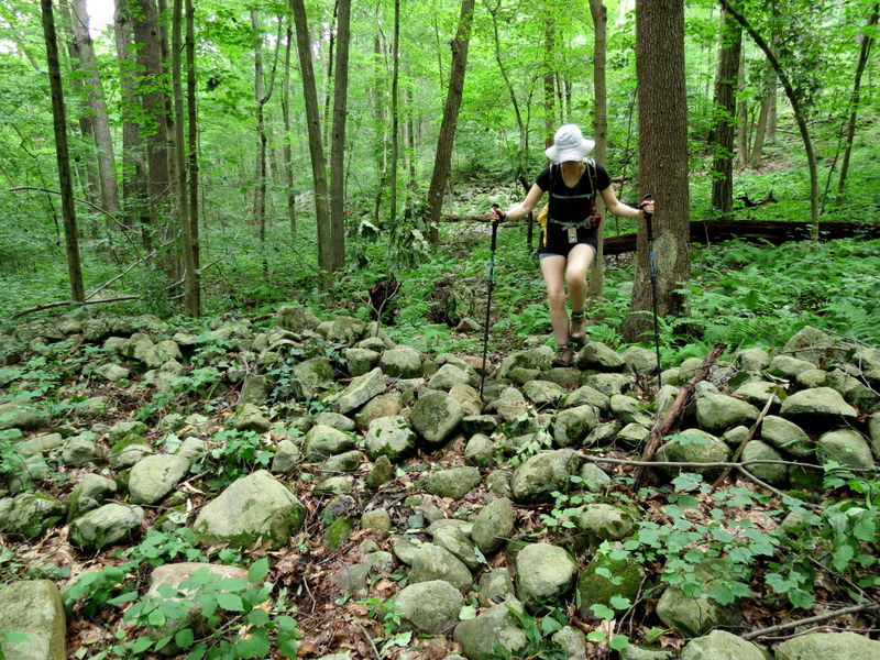
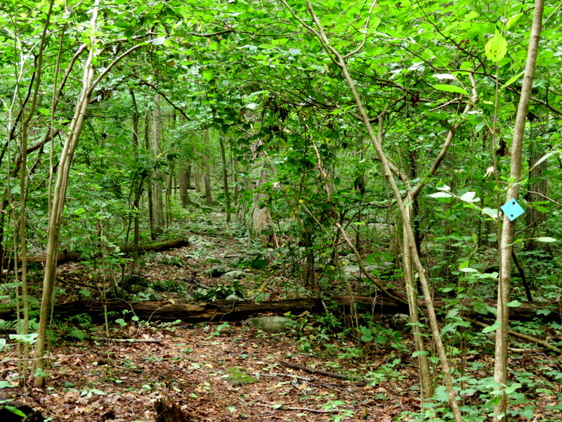
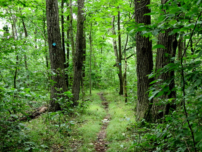
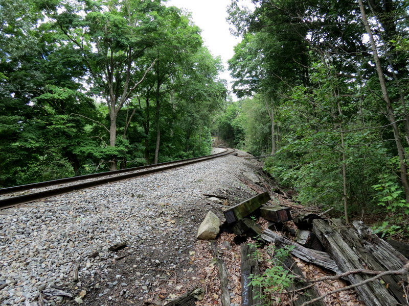
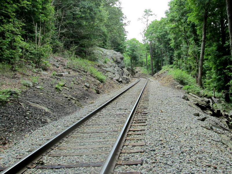
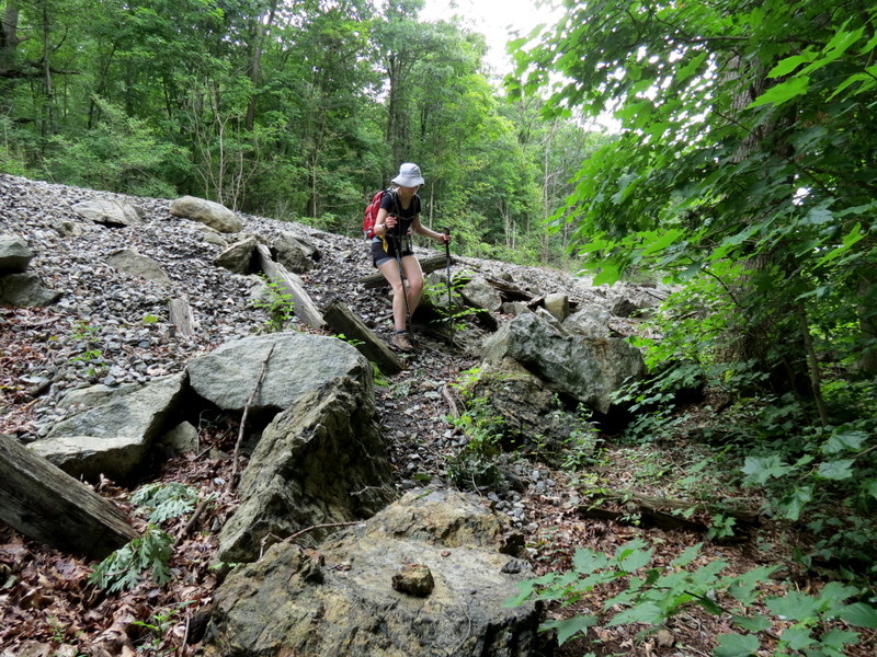
We headed north on the Highlands trail. We climbed steeply right from the beginning, having to ascend and descend two hills before getting to Dunker Pond. It was hot and humid, and the trail was draped with nearly-continuous spider webs (most of them invisible), making the hike pretty unpleasant. Boy do I long for a nice fall or winter hike! When we finally arrived at the stream just south of Dunker Pond, the crossing was too treacherous with all the gushing water from the heavy storms. So we had to turn back. But instead of retracing our steps at this point, we decided to explore a woods road that ran both north along the western bank of the pond, where we found a nice overlook, and then south, along the western side of that tributary that we were unable to cross. We then returned back to the car, once again ascending and descending the two hills along the Highlands trail. We were drenched with perspiration by the time we were finished. Total distance hiked today was just under 3 miles in just over 2.5 hours.
(Click on the thumbnail to bring up a bigger image in a pop-up window)
|
 |
 |
 |
 |
 |
 |
 |
 |
 |
 |
 |
 |
 |
 |
 |
 |
 |
 |
 |
 |
 |
 |
 |
 |
 |
 |
 |
 |
 |
 |
 |
 |
 |
 |
 |
 |
 |
 |
 |
 |
 |
 |
 |
 |
 |
 |
 |
 |
 |
 |
 |
 |

|
|
Photographs and content copyright © Dan Balogh Web design by Dan Balogh |