 |
|
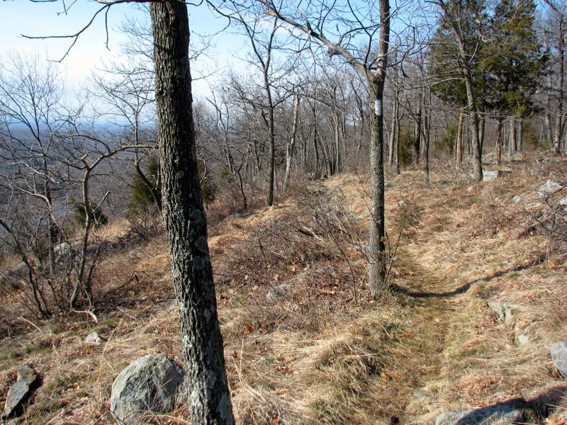
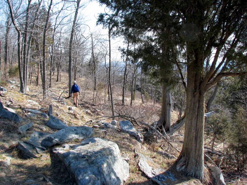
This 7-mile out-and-back is along a beautiful stretch of the Appalachian Trail. We started where the AT crosses Route 602 (Millbrook-Blairstown Road), taking
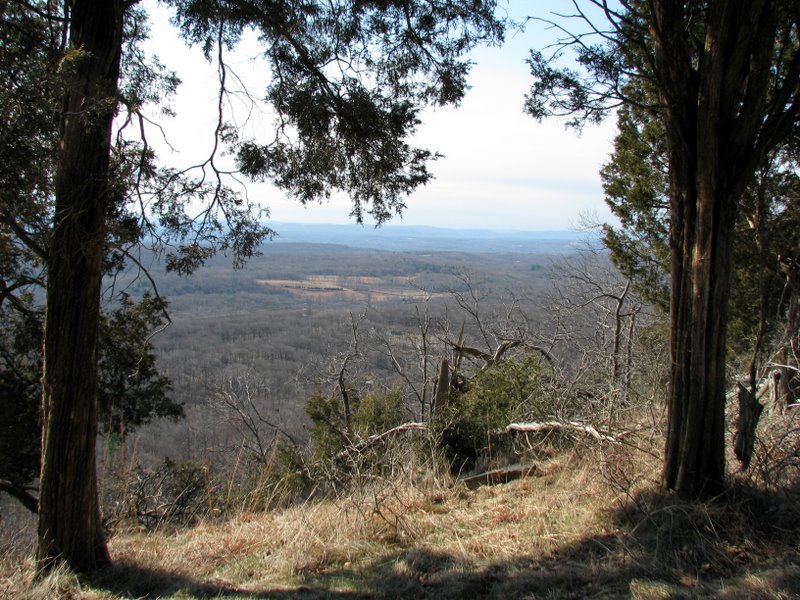
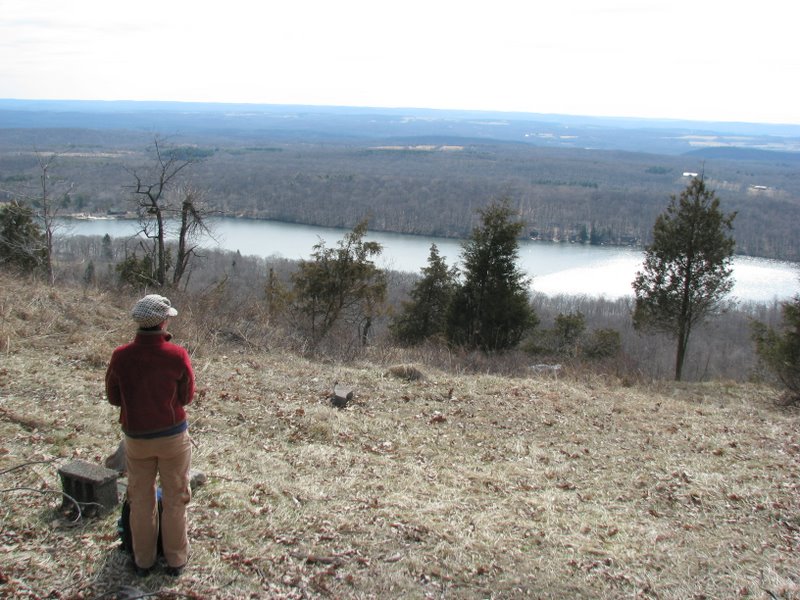
it northeast for about 3.5 miles, had lunch on a unmarked spur trail overlooking the beautiful Fairview Lake, before heading back.
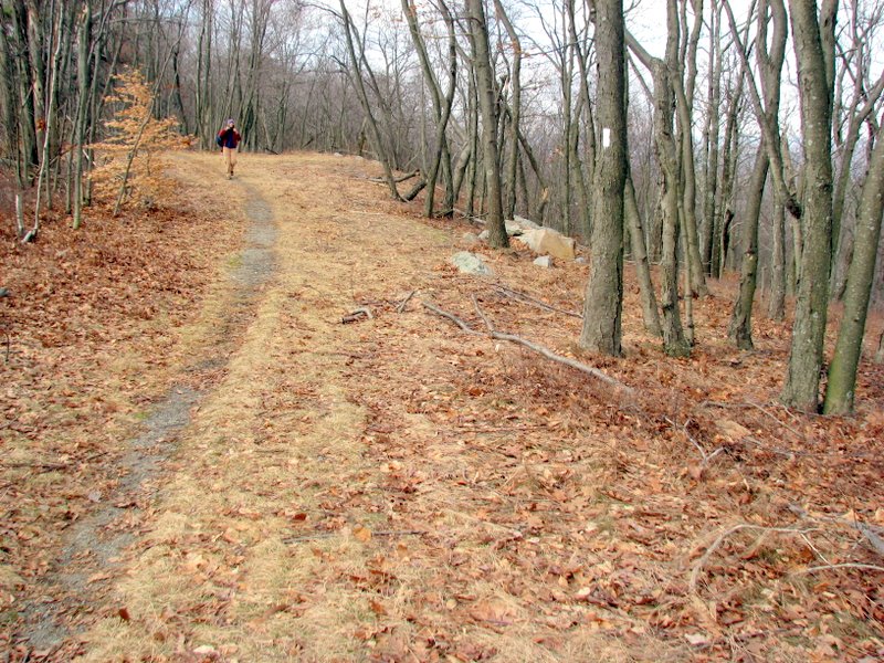
A good part of the AT on this stretch is along an old woods road that served as access to a large number of houses that were occupied here several decades ago. Those houses belonged to folks who were forced out by the government during the 1970s fiasco regarding the damming of the Delaware river at Tocks Island. To read a fascinating account of the aborted dam project, check out this 11-part series that appeared in The Pocono Record in 2001. (Click on the thumbnail to bring up a bigger image in a pop-up window)
|
 AT sign at the start |
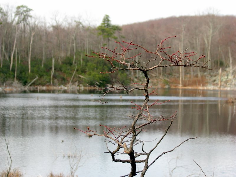
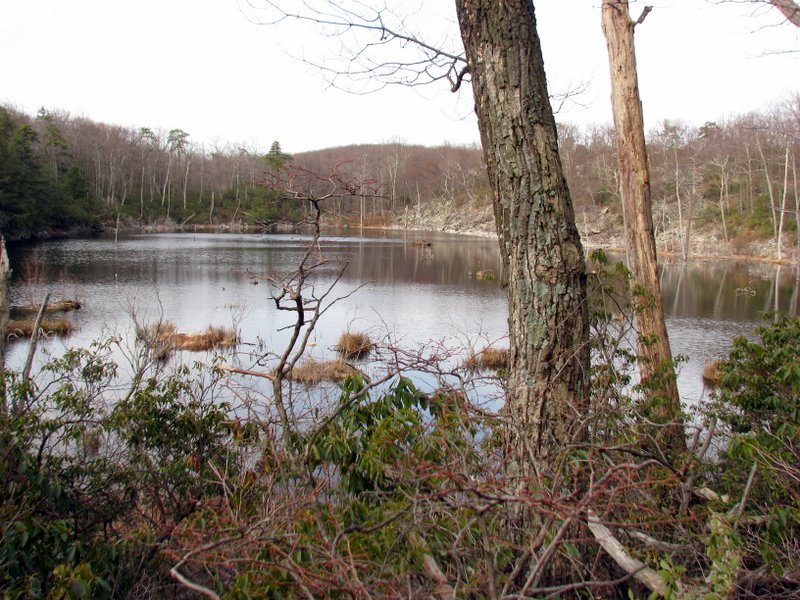
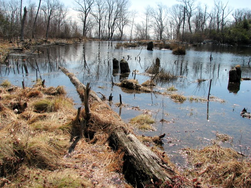
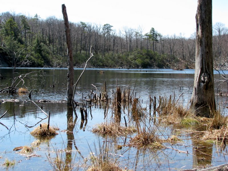
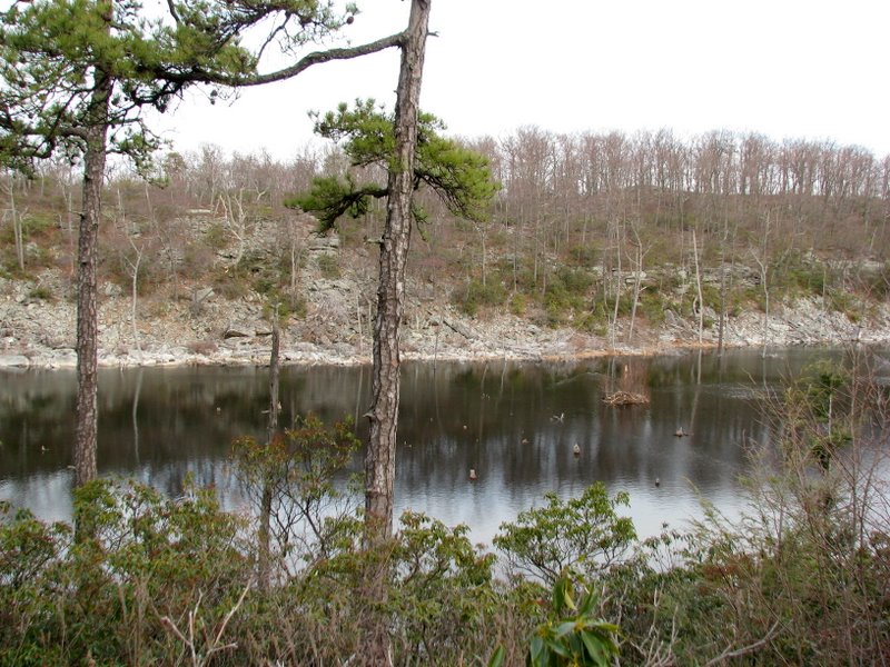 Lake which is on no map! |
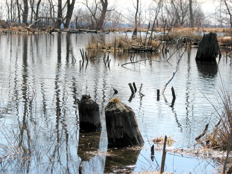
 Beaver lodge right in the middle |
 |
 |
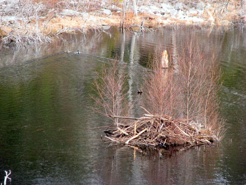
 Another view of the lodge |
 |
 |
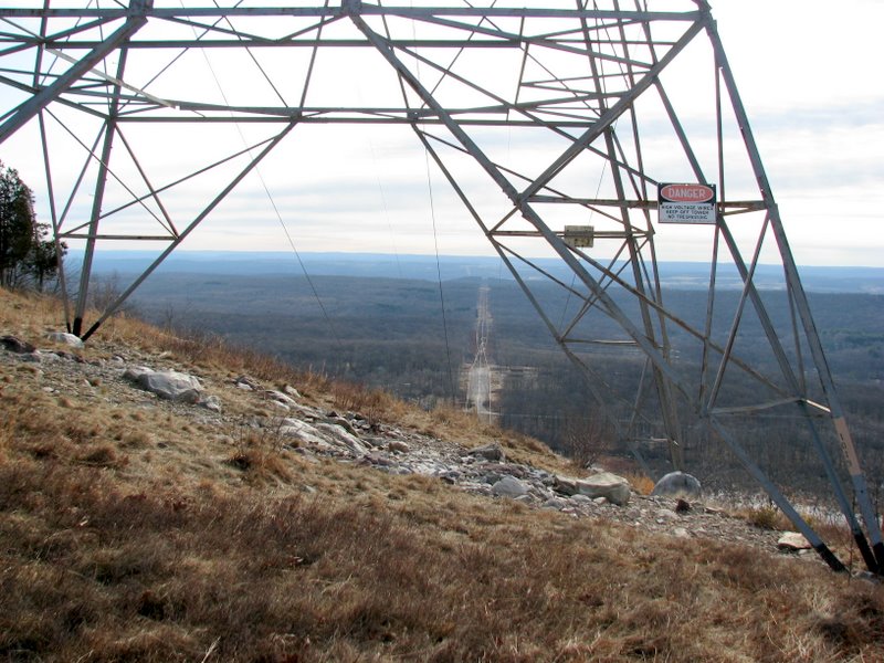
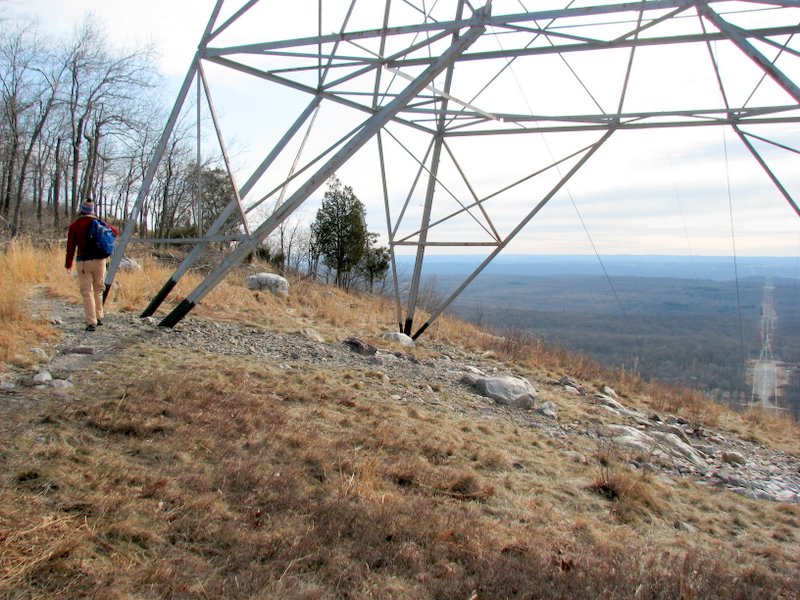
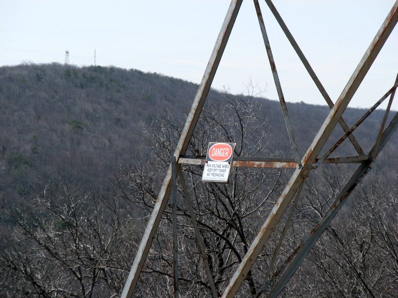
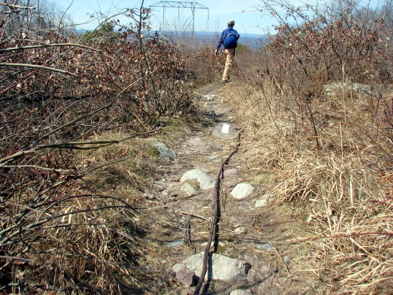
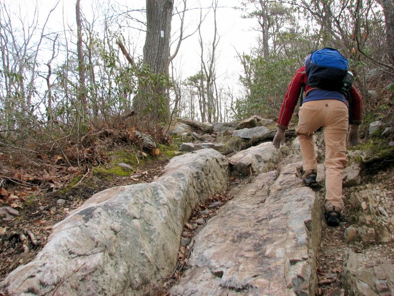 Short, but steep climb to powerline cut |
 View west from powerline cut |
 View east from powerline cut |
 |
 |
 |
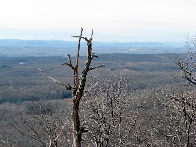
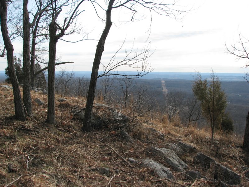
 Spectacular view east |
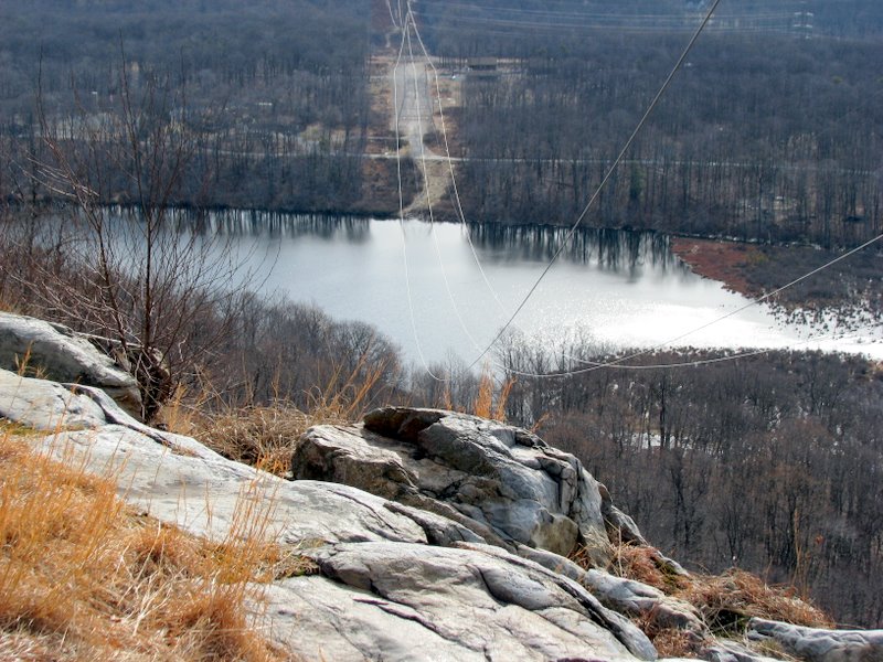 Sand Pond below |
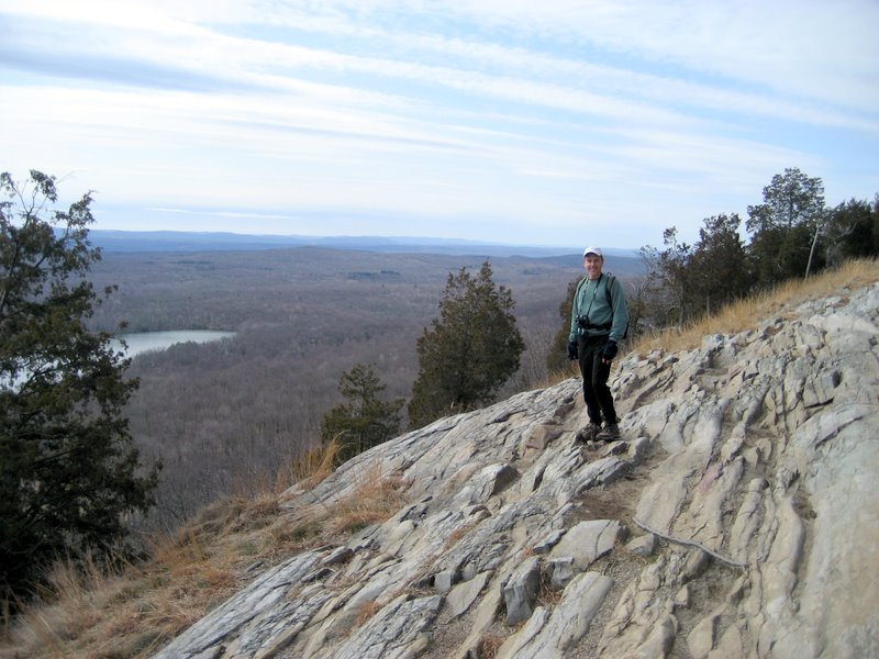
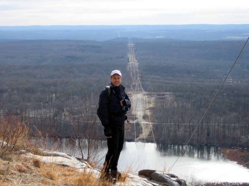 Dan obstructing the view [photo by Laura] |
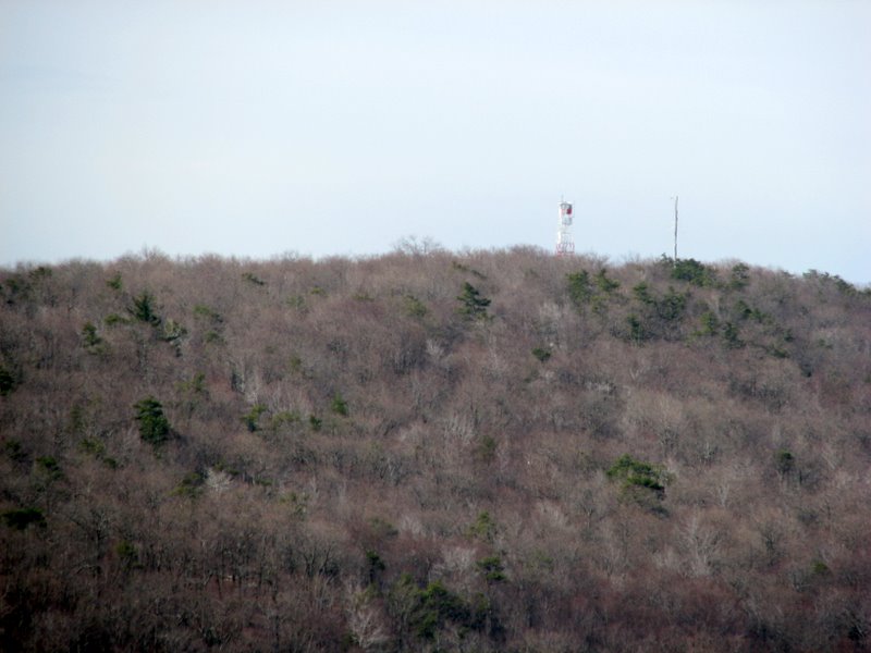 Catfish Lookout tower |
 View SW |
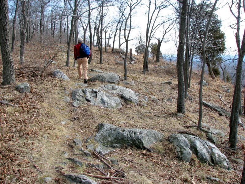 Heading NE |
 |
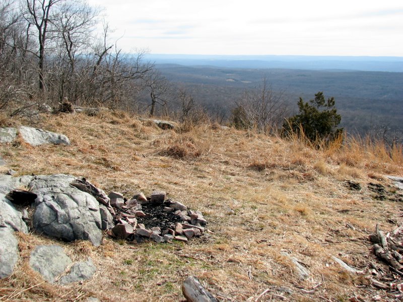 Remains of campfire |
 |
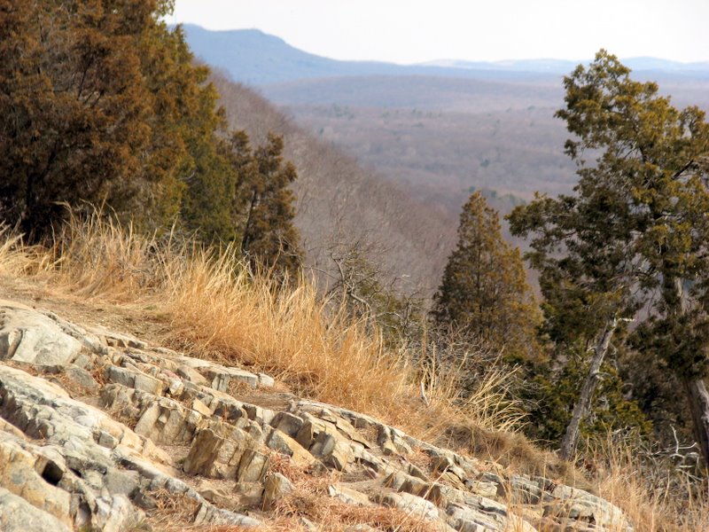
 View east from AT |
 |
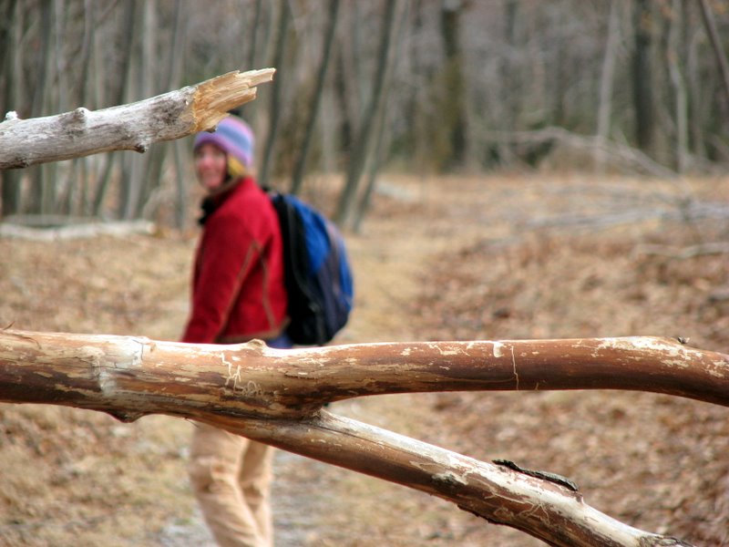
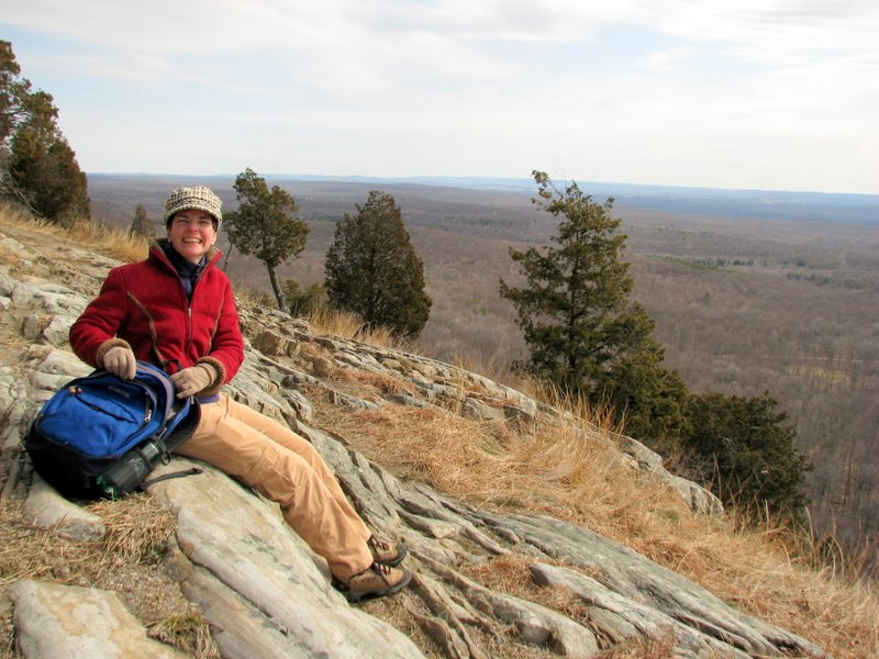
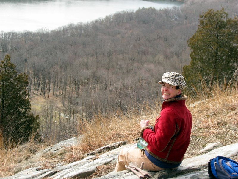
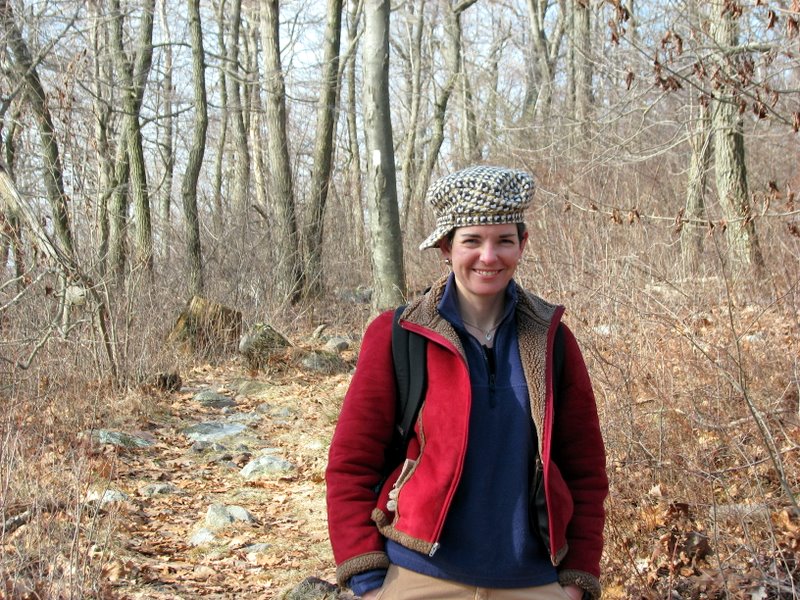 Laura likes her new hat |
 |
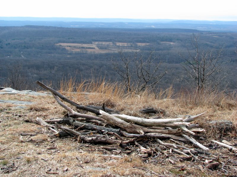
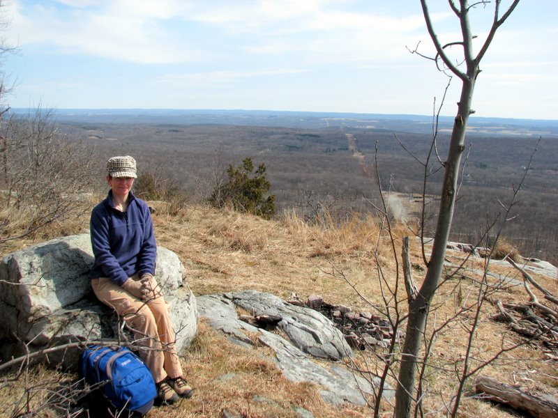
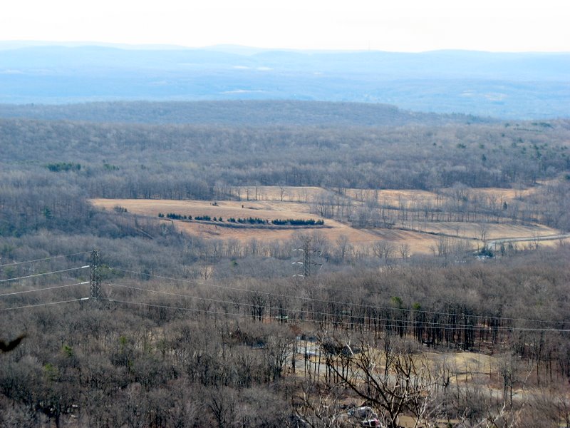 NJ farmlands |
 |
 |
 |
 AT becomes old woods road |
 |
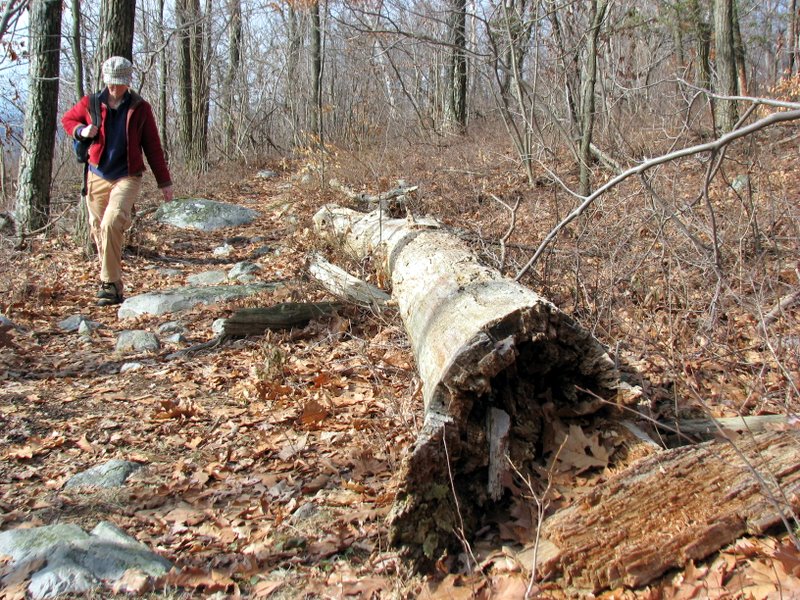
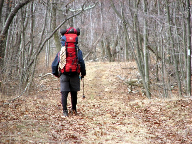 Another hiker |
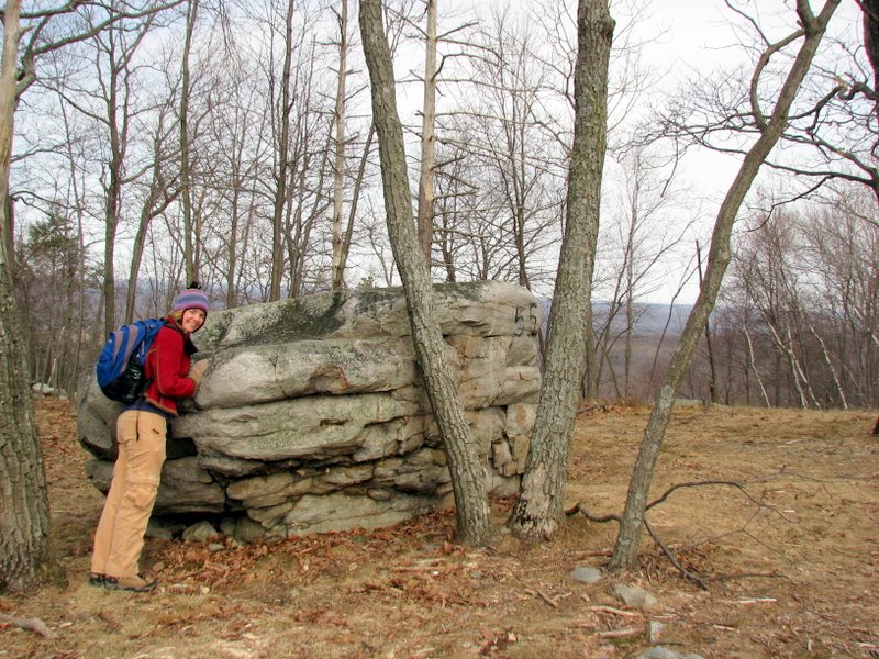 Rock marked '55' at old homestead spot |
 Old homestead spot |
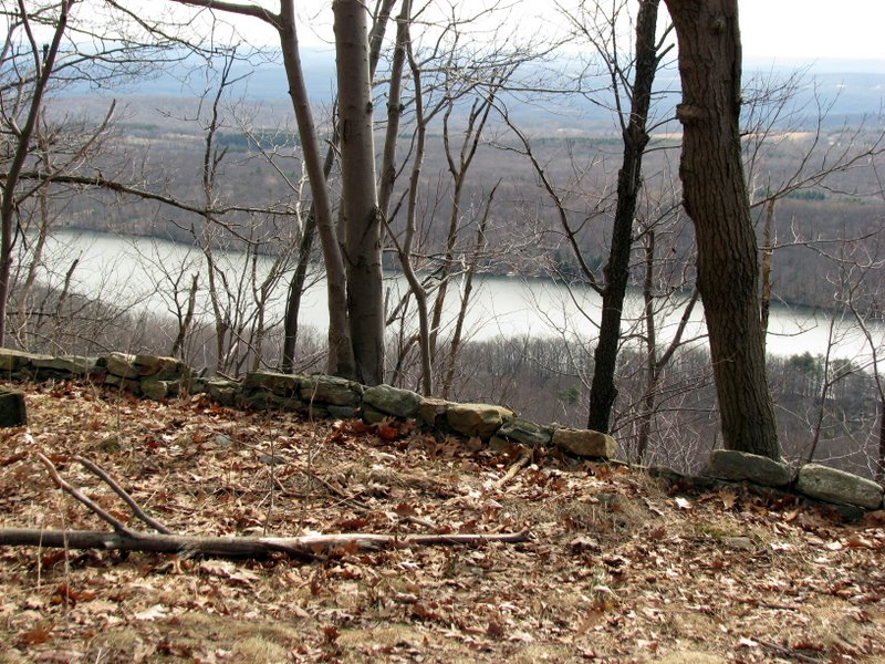
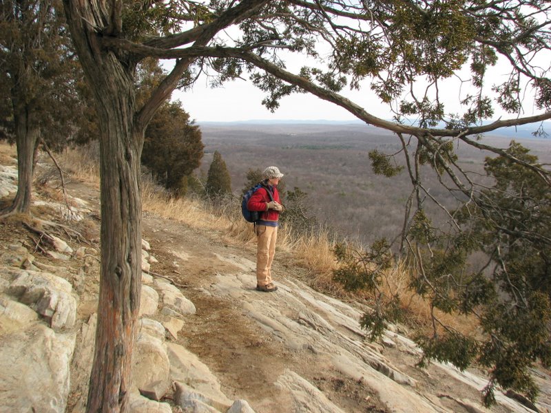
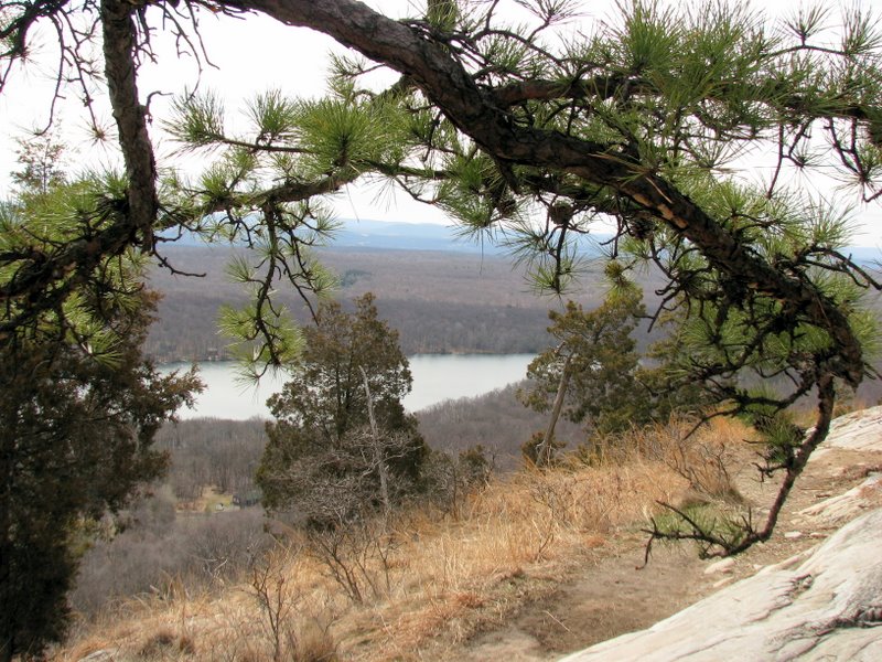
 Fairview Lake below |
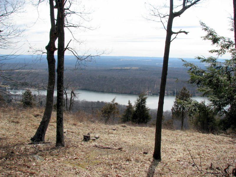 |
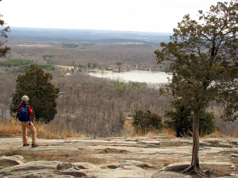
 Fairview Lake |
 NJ farms east |
 |
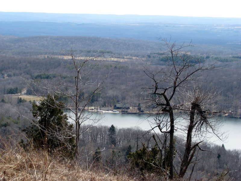
 Fairview Lake |
 Our friend Scooter |
 |
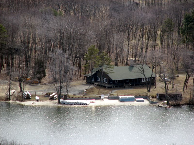 Boathouse on Fairview Lake |
 Beautiful rockface off trail |
 |
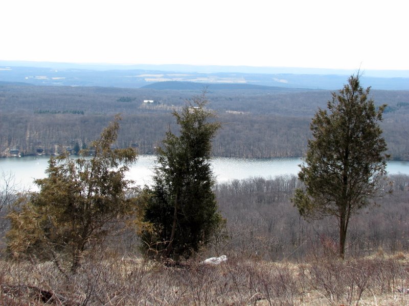
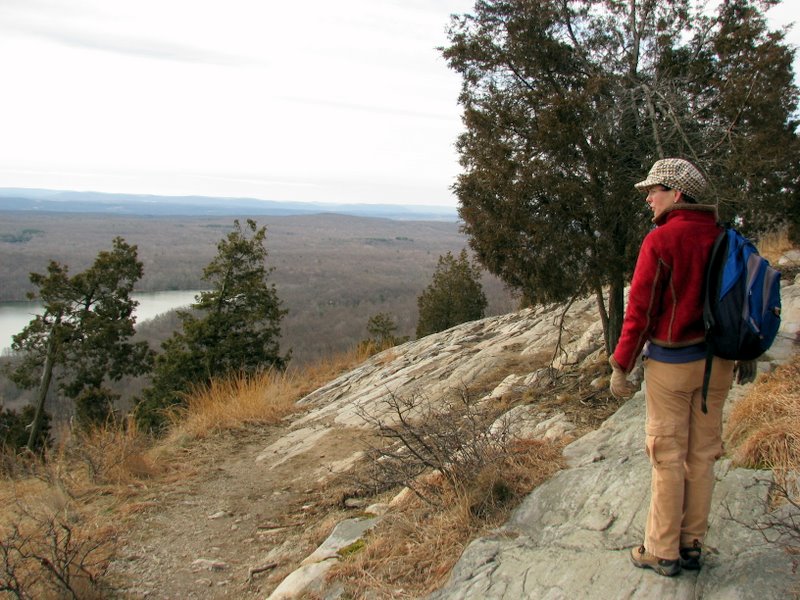
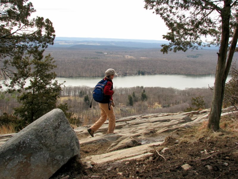
 Fairview Lake from spur trail |
 |
 |
 |
 |
 [photo by Laura] |
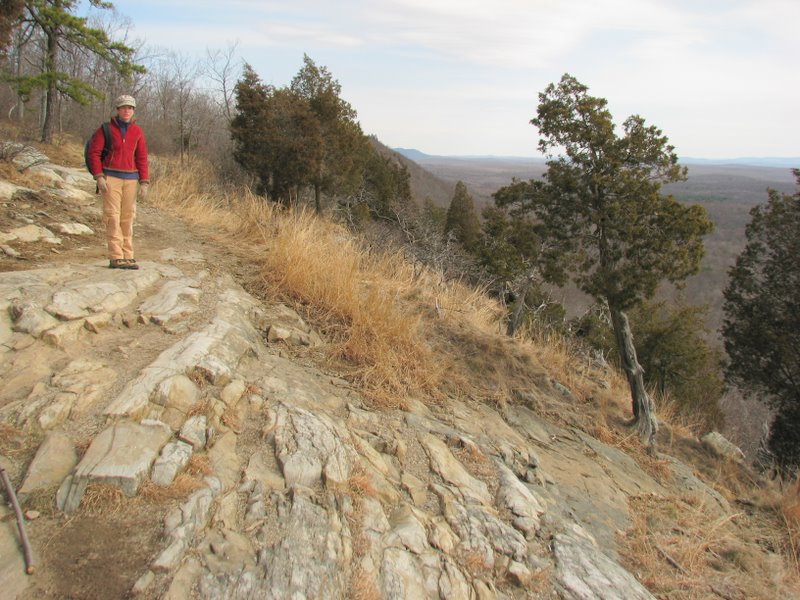
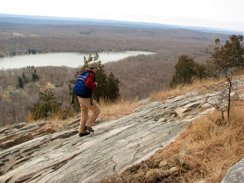
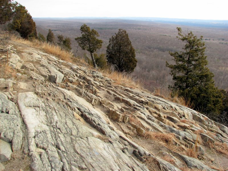 Gorgeous geology |
 |
 Our lunch spot |
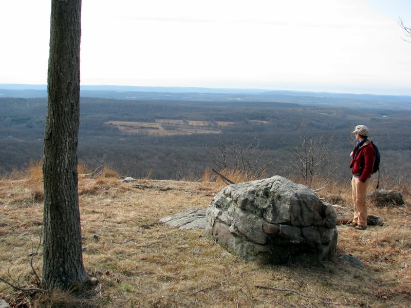
 What a view! |
 |
 |
 83-year old hiker (Scooter's owner) |
 |
 |
 Back to the powerline cut |
 |
 |
 Exposed cable on trail |
 |
 |
 Back to the beaver lake |
 |
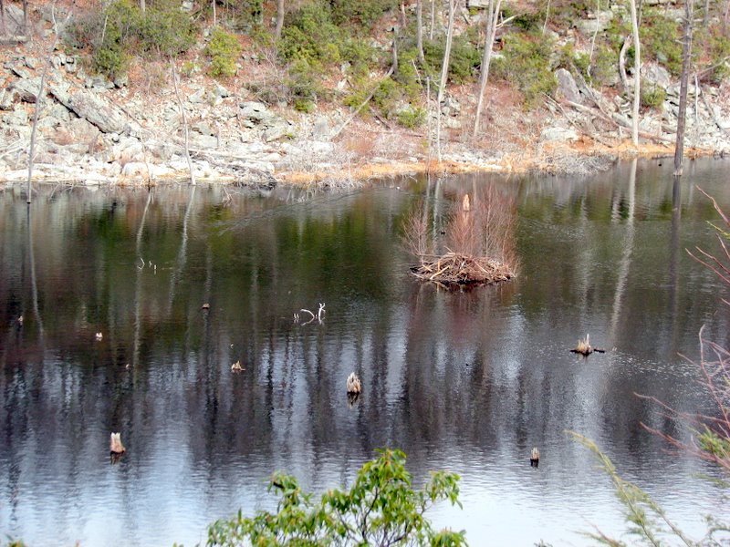
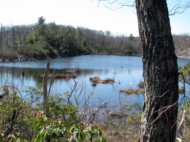 Why isn't this on any map? |
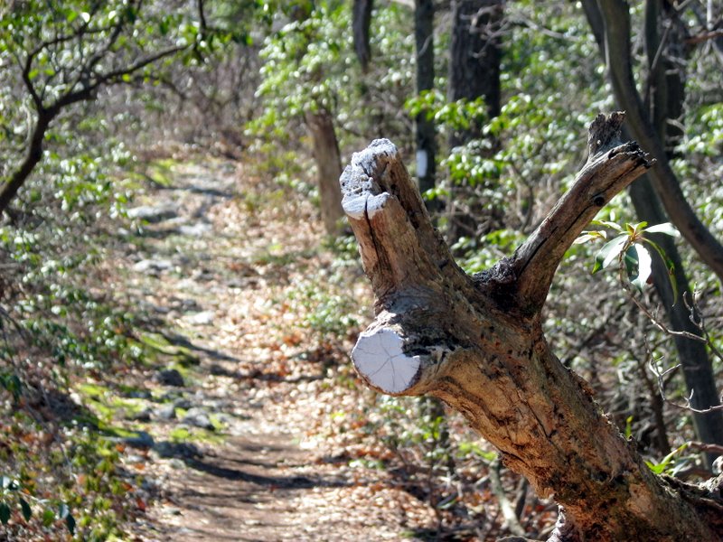 Non-standard AT blaze! |

|
|
Photographs and content copyright © Dan Balogh Web design by Dan Balogh |