 |
|
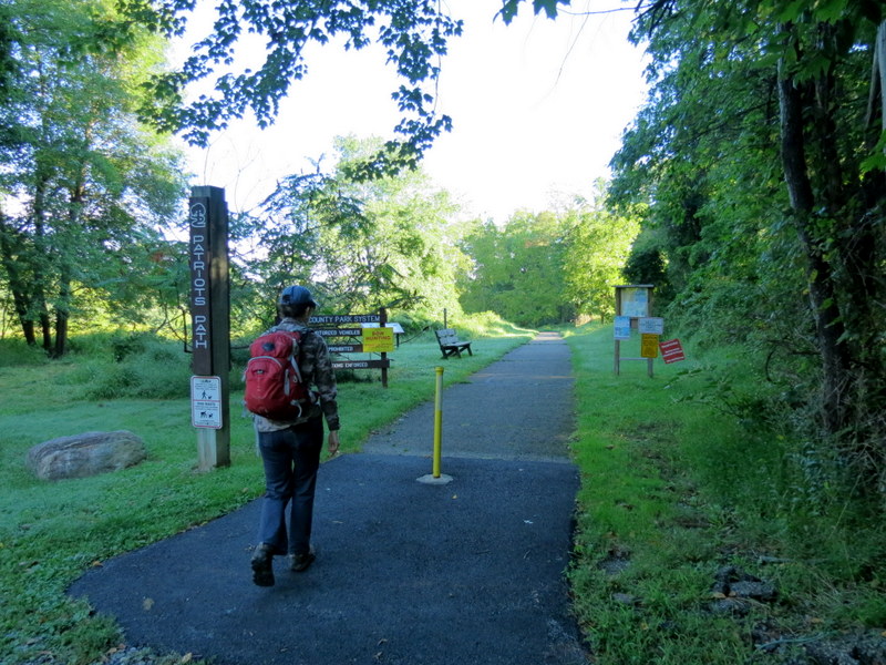
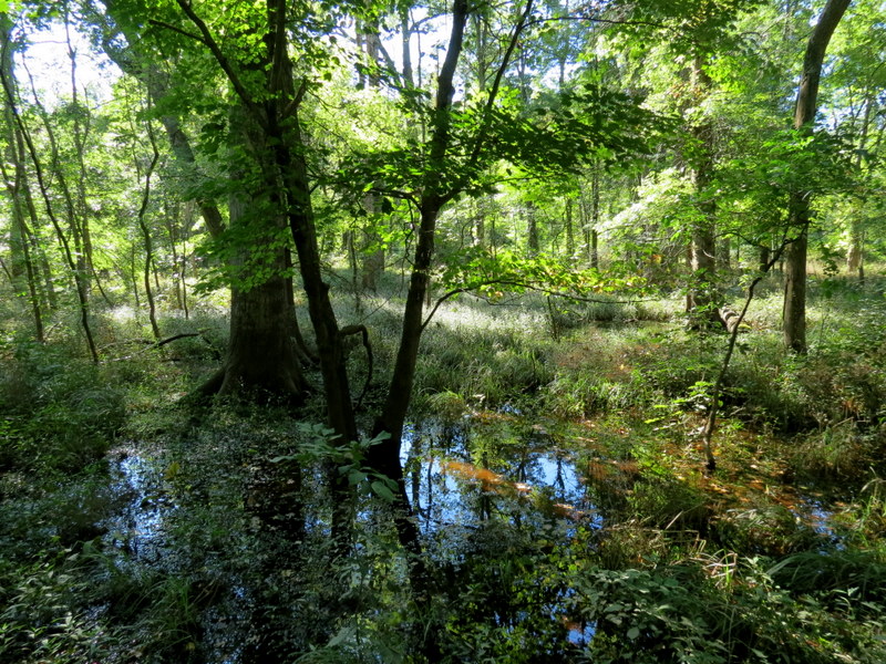
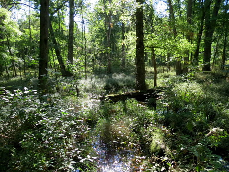
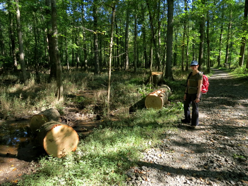
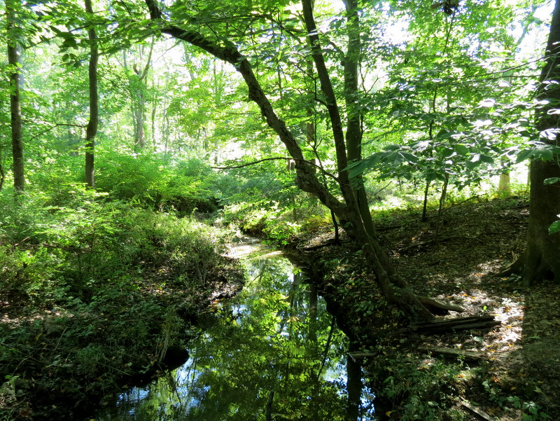
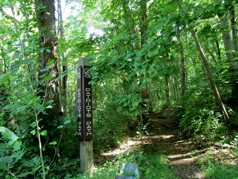
On the solemn 20th anniversary of 9/11, we decided to hike a part of the Patriot's Path, 50% of which we had done in the past, but another
50% made of spurs, loops and parallel trails that we hadn't done previously.
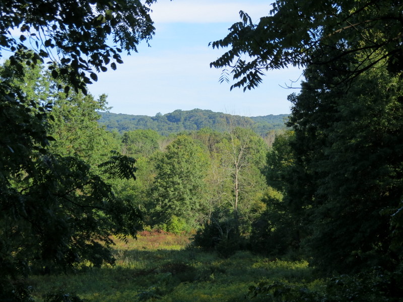
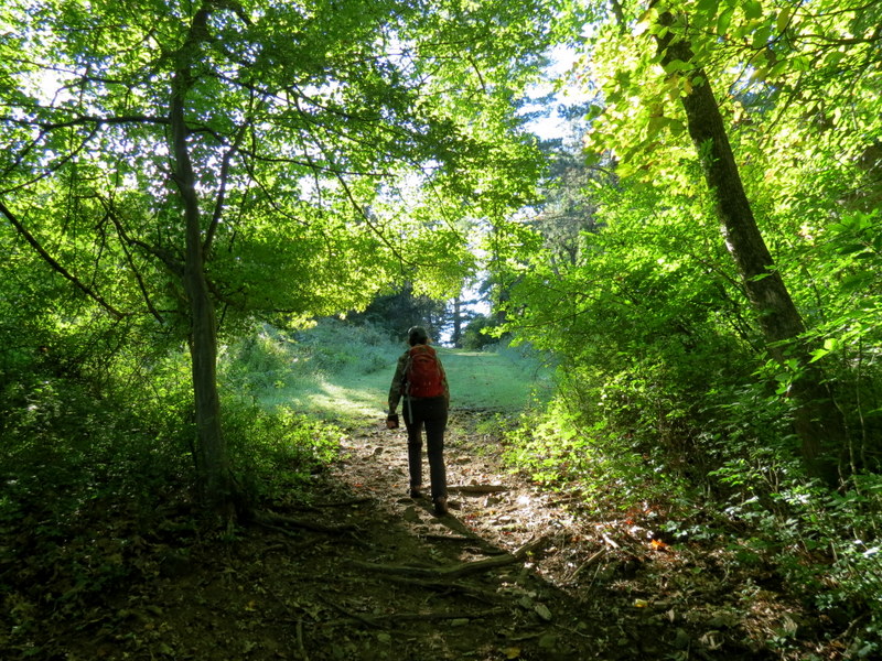
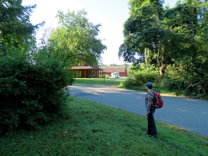
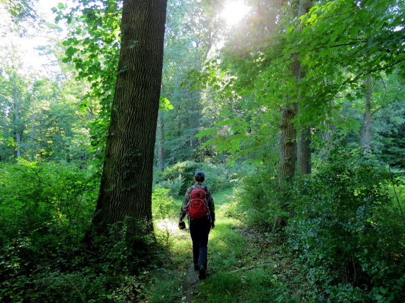
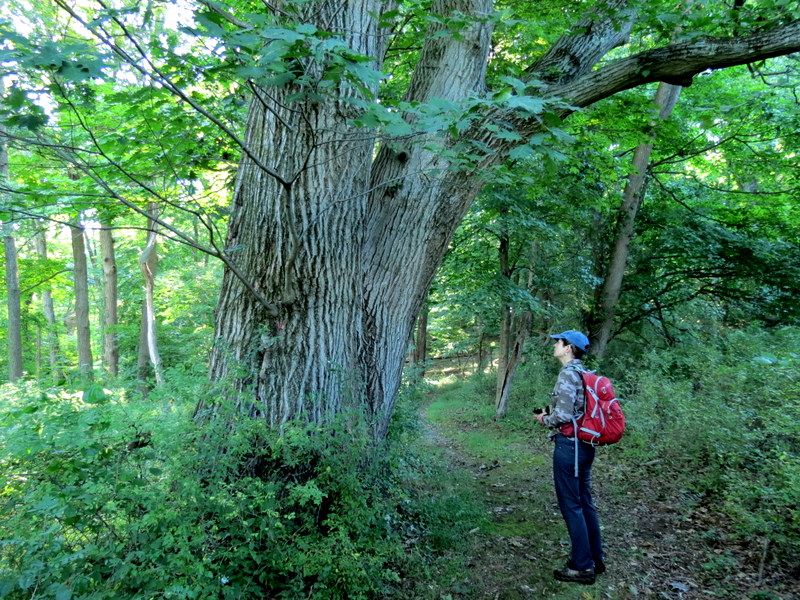
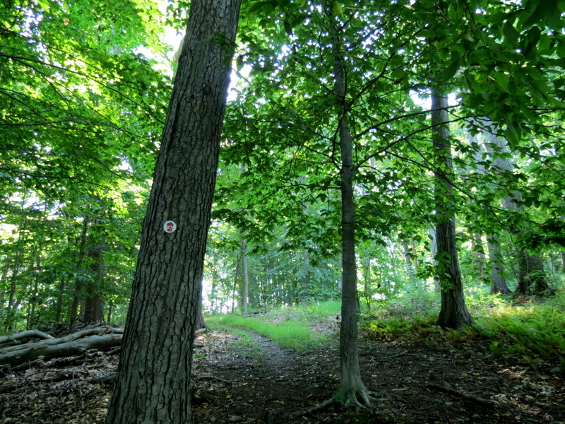
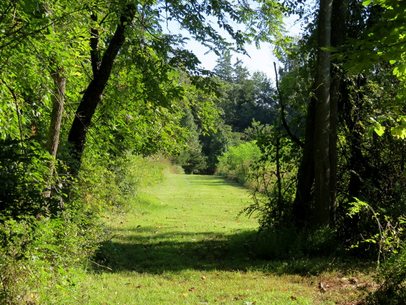
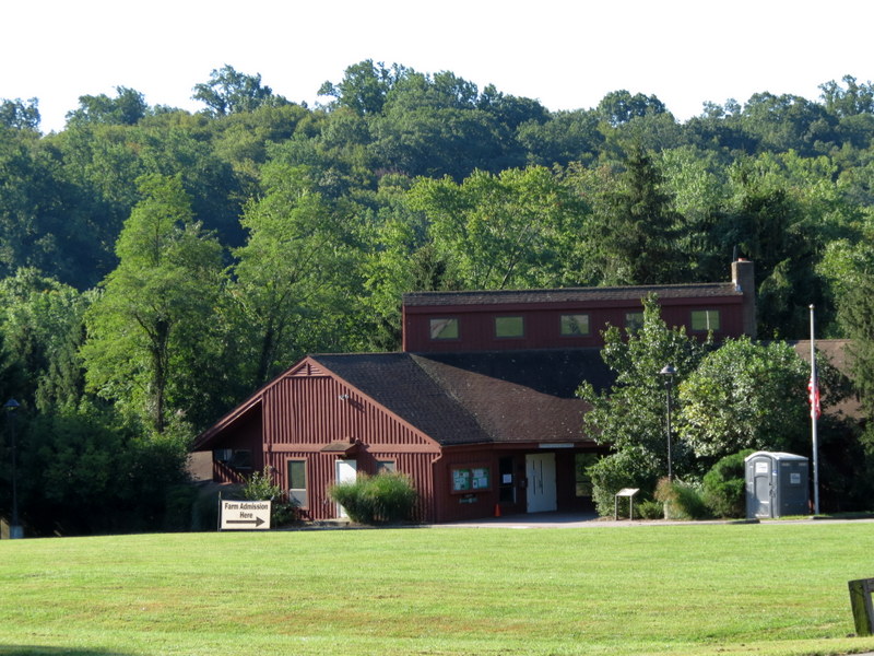
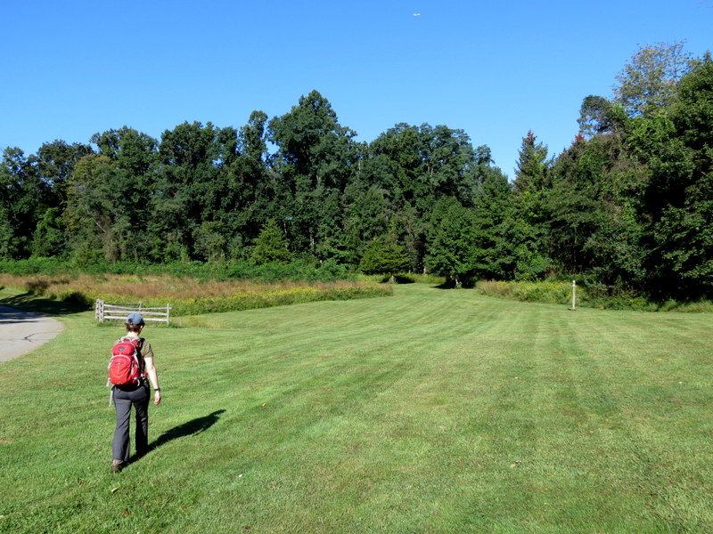
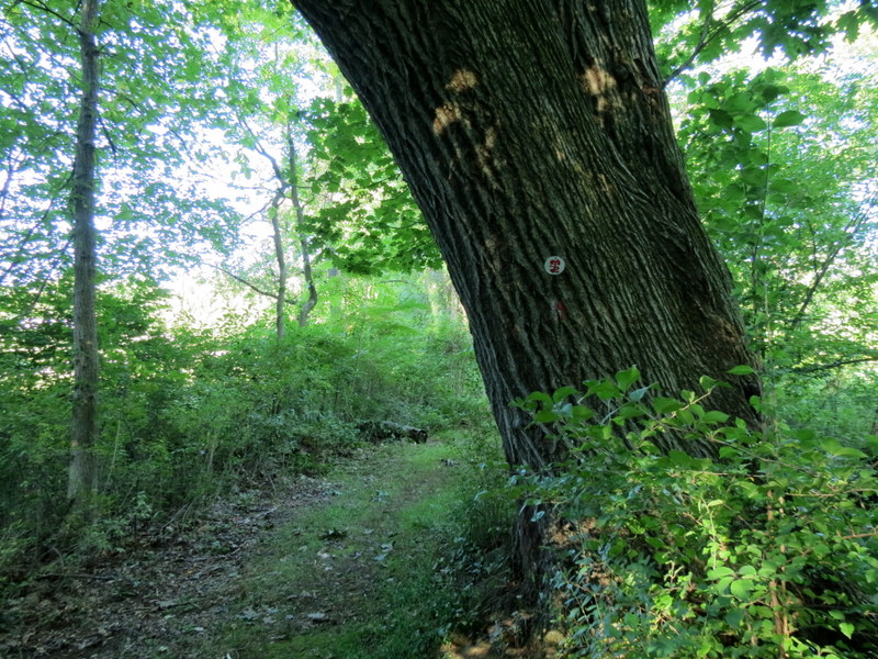
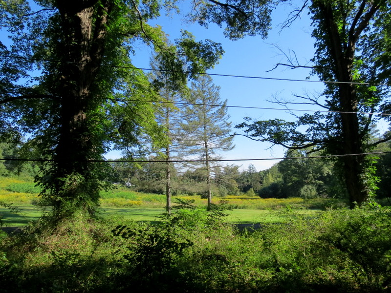
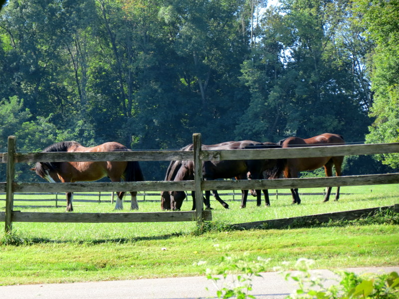
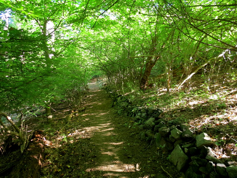
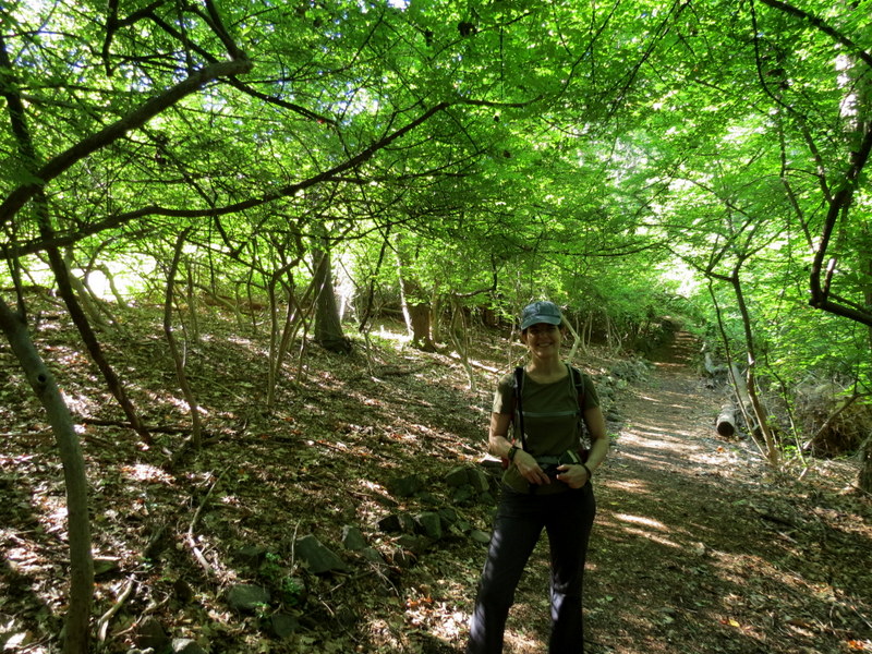
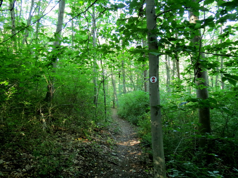
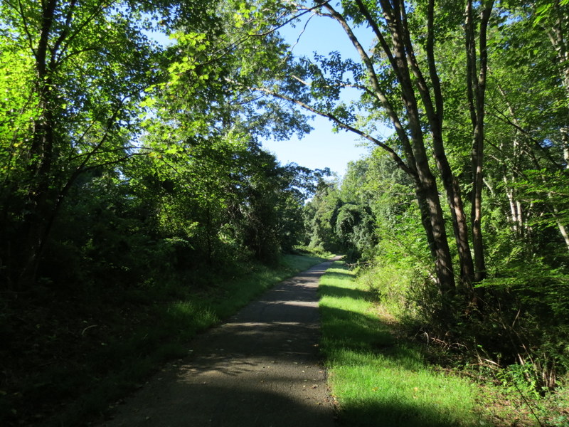
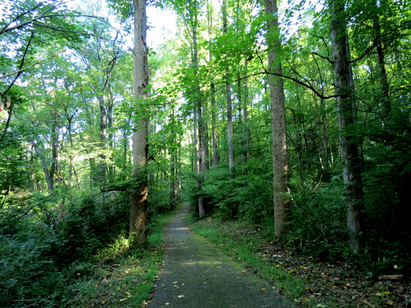
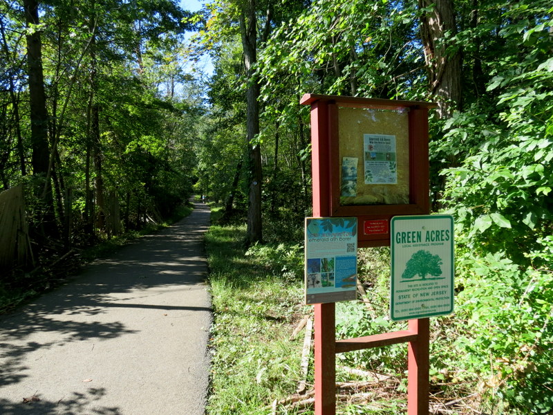
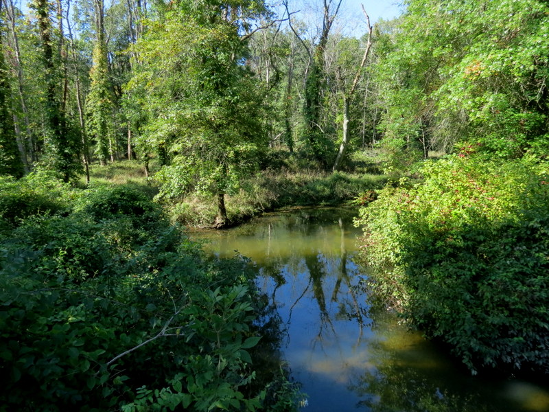
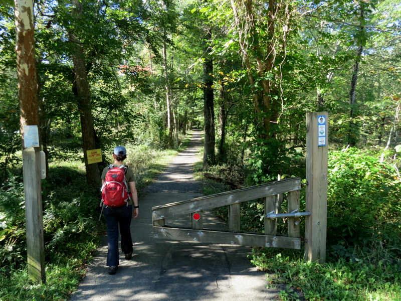
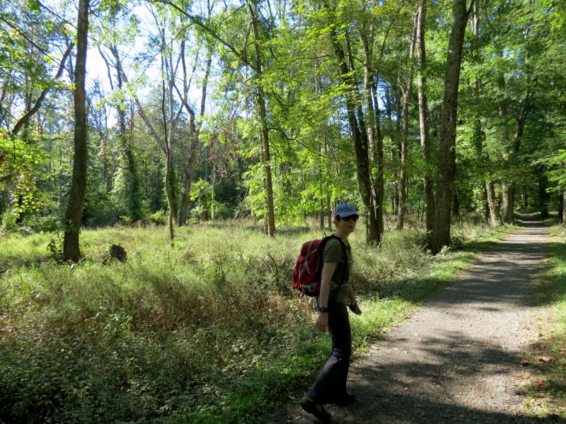
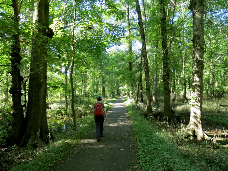
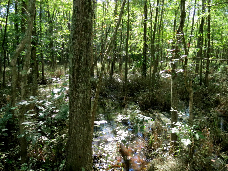
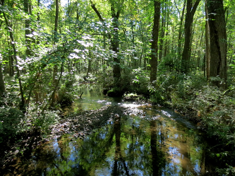
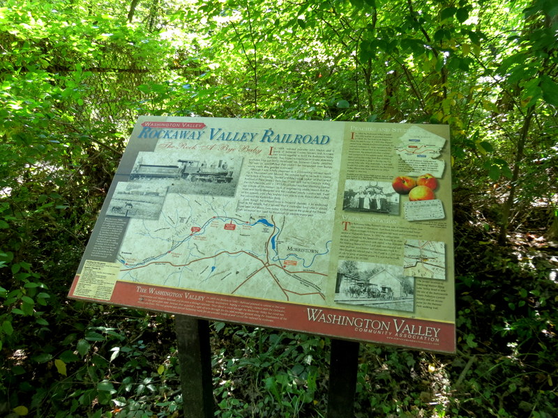
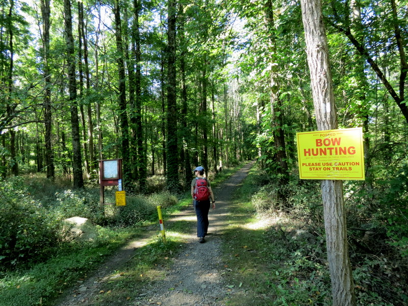
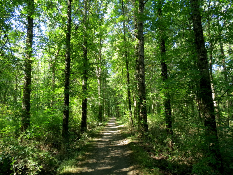
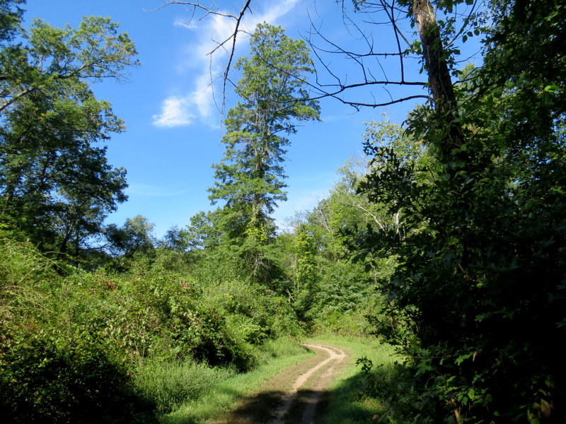
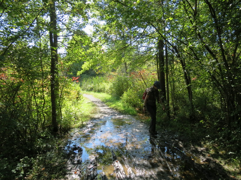
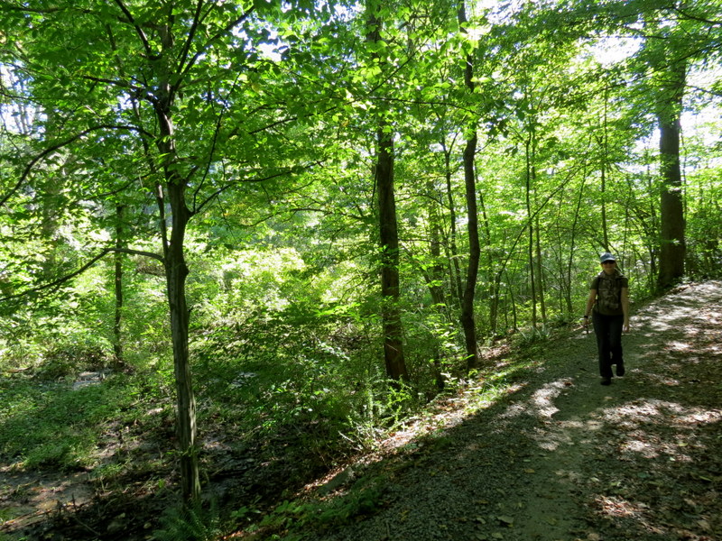
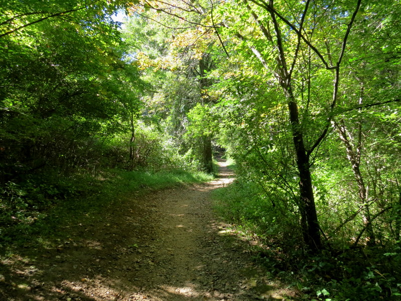
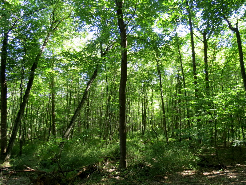
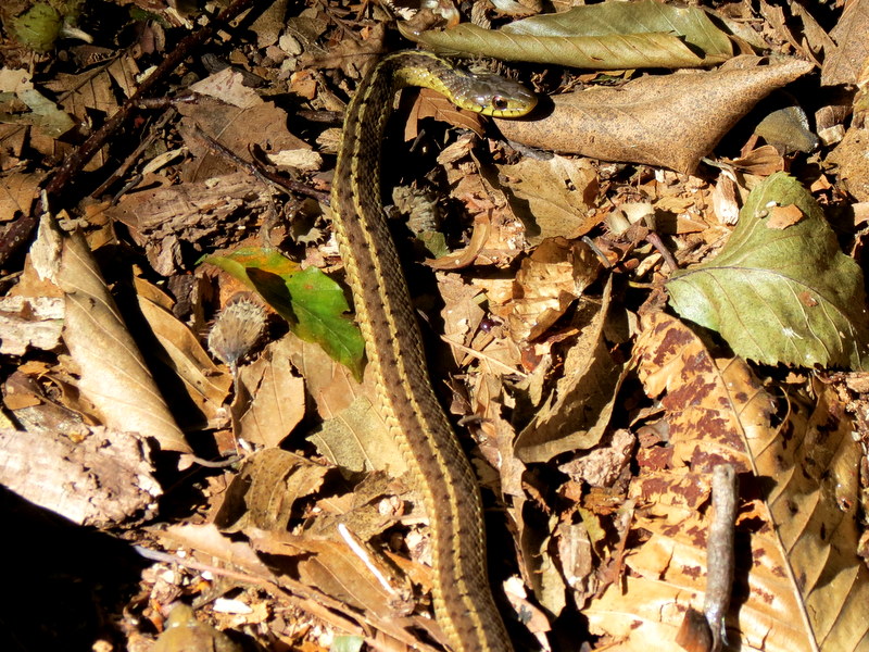
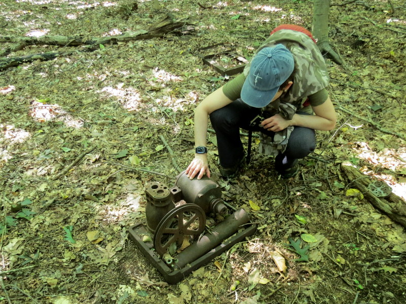
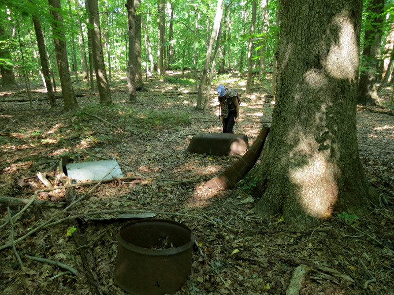
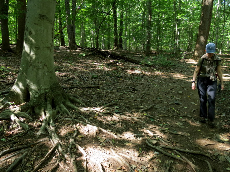
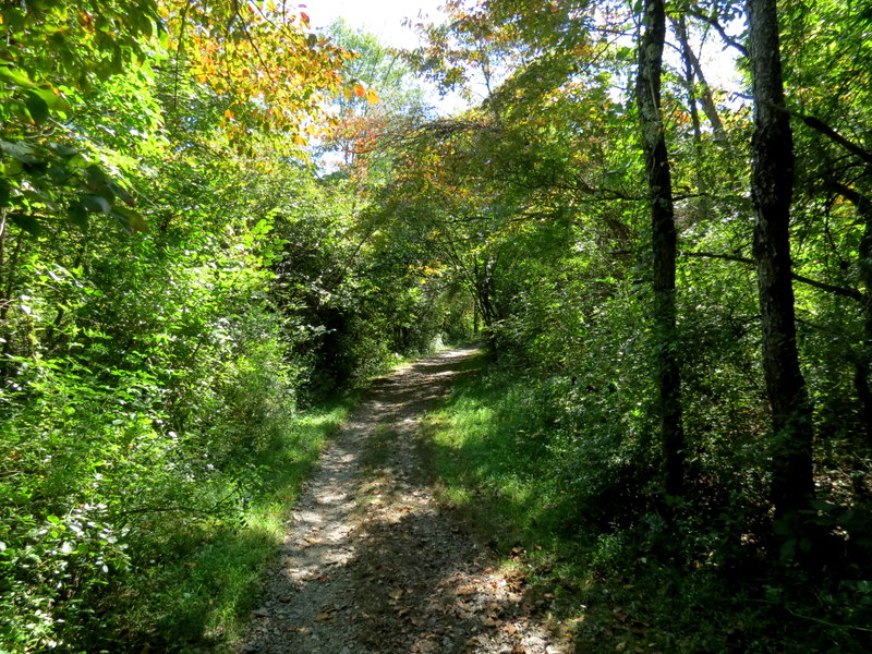
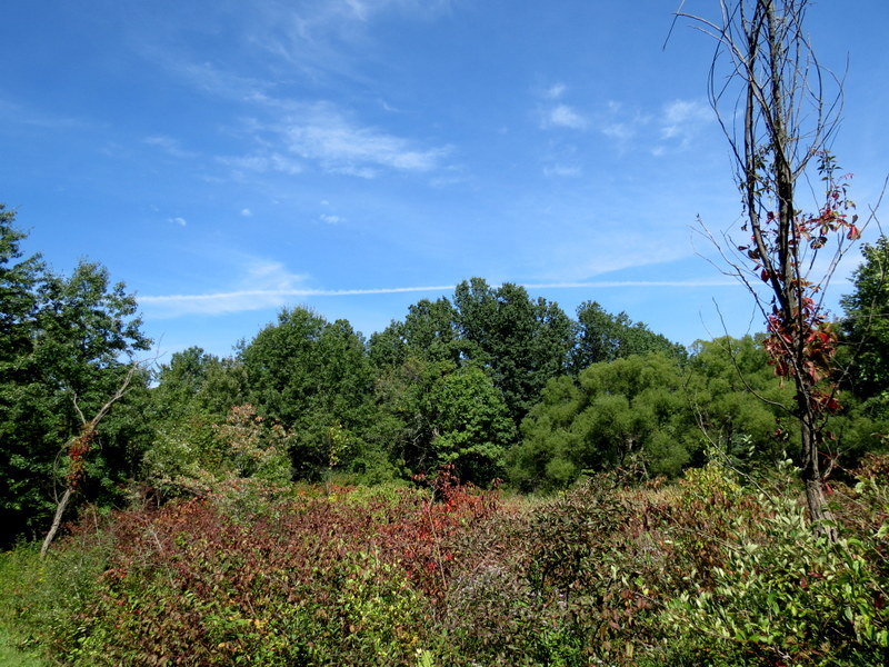
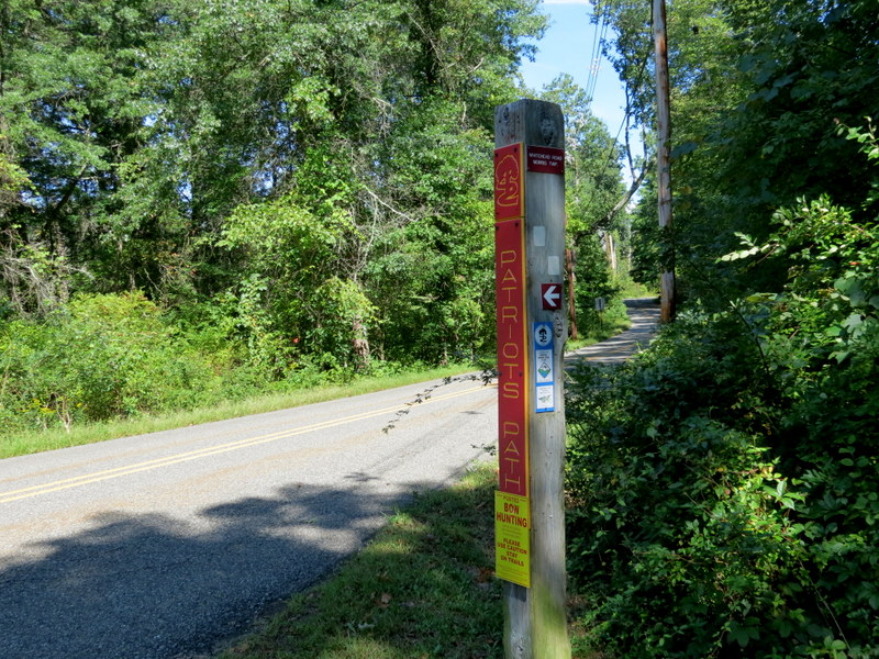
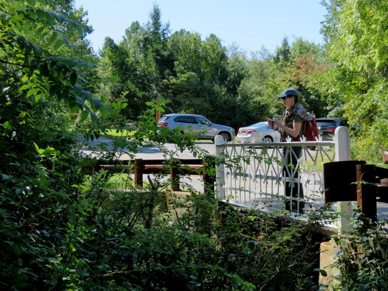
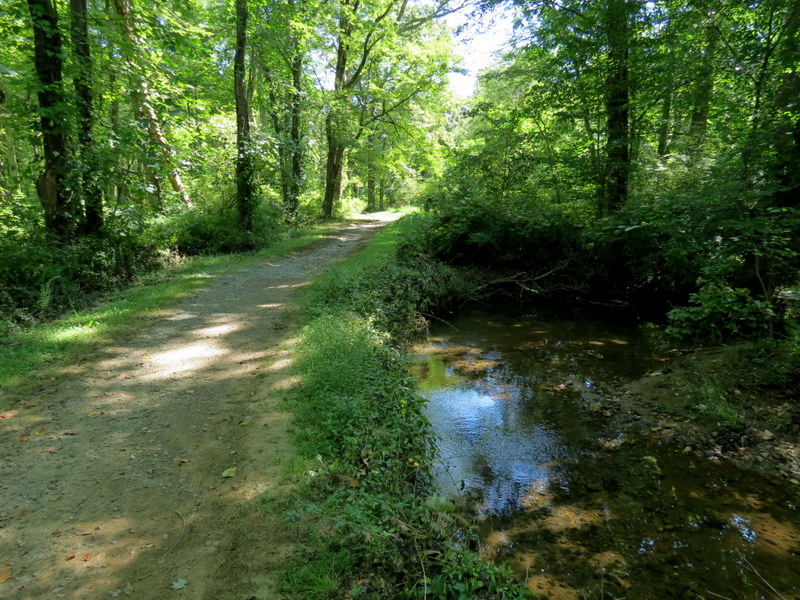
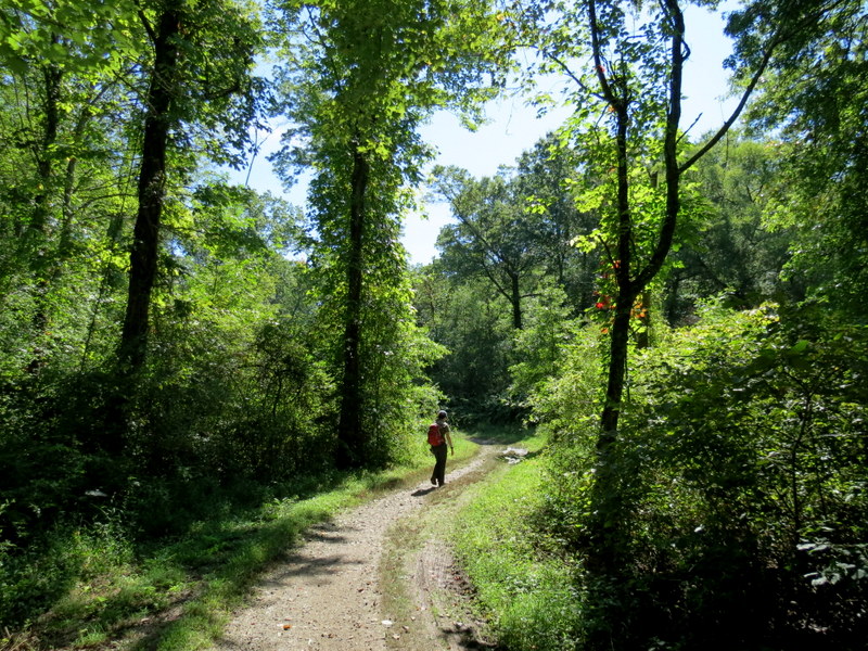
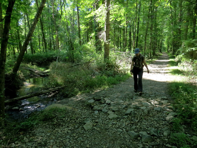
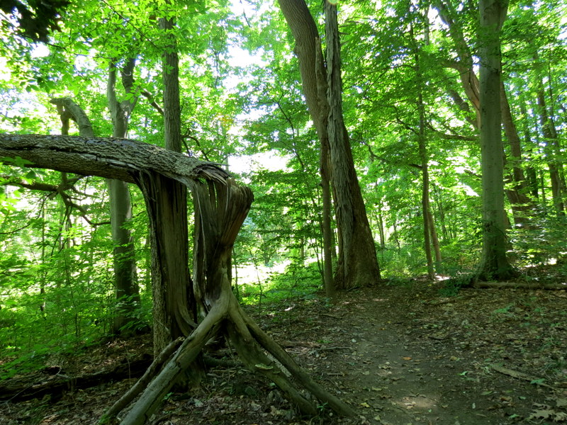
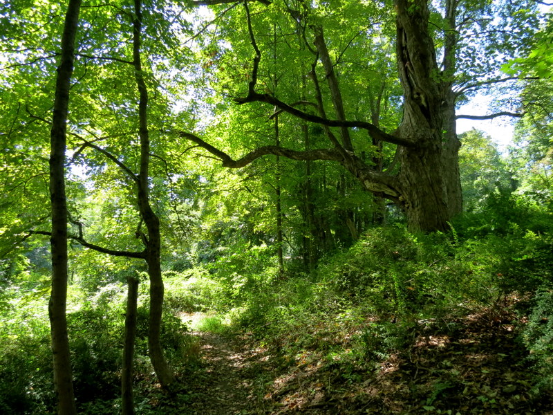
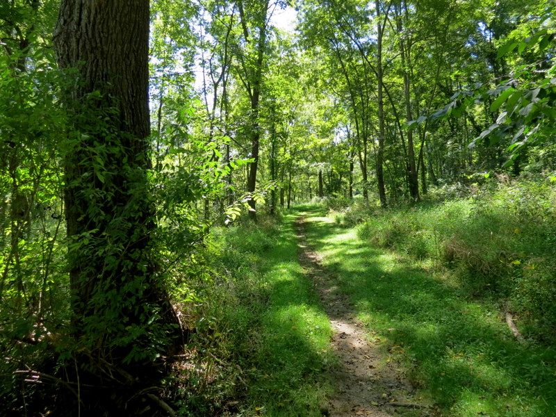
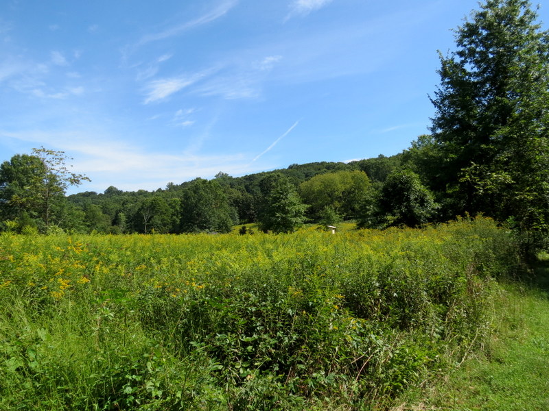
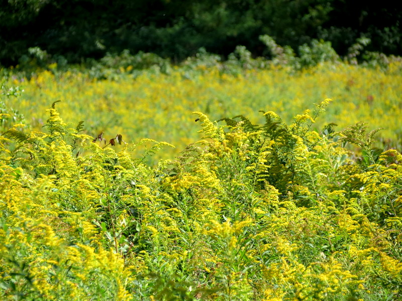
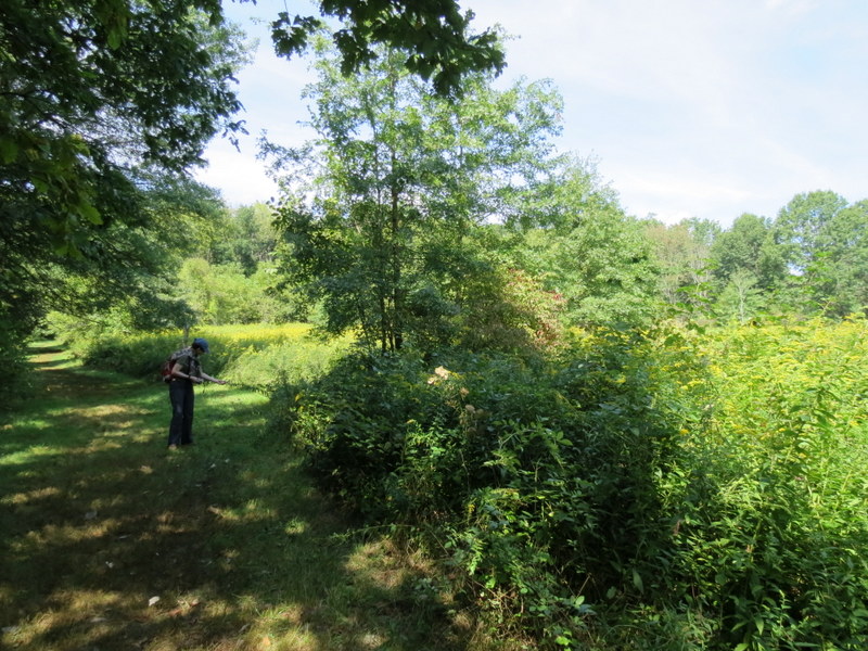
Using this map, we parked in the small lot on Washington Valley Road (just west of Fosterfields), and took the Blue PP north, to the Red PP, which we took east, all of the way to the visitor's center of Fosterfields. There is a lovely little woods loop quite near the Blue PP and Red PP intersection (not on this map), that we also did. Retracing our steps back to the Blue PP, we continued north all the way to Sussex Avenue, where we walked west along that road for a bit, turning left and heading west on the White PP. This we took into Lewis Morris County Park, crossing Whitehead Road and continuing west, forming a loop with an unblazed, barely detectable trail to the north. We were using the Gaia GPS on my iPhone, which helped us stay on or near the trail. Returning back to the White PP, we took that all the way back to Washington Valley Road, walking east along that road a bit, then heading north on the Blue PP all the way back to the car. Total distance hiked today was 6.5 miles in just over 3 hours. It was a gorgeous, low humidity day!
|
 |
 |
 |
 |
 |
 |
 |
 |
 |
 |
 |
 |
 |
 |
 |
 |
 |
 |
 |
 |
 |
 |
 |
 |
 |
 |
 |
 |
 |
 |
 |
 |
 |
 |
 |
 |
 |
 |
 |
 |
 |
 |
 |
 |
 |
 |
 |
 |
 |
 |
 |
 |
 |
 |
 |
 |
 |
 |
 |
 |

|
|
Photographs and content copyright © Dan Balogh Web design by Dan Balogh |