 |
|
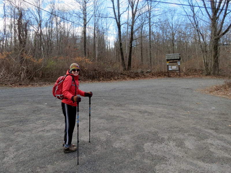
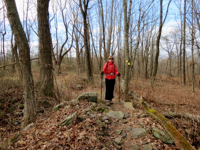
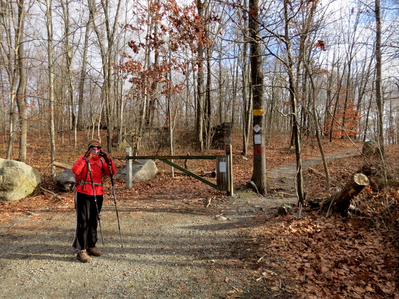
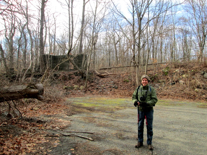
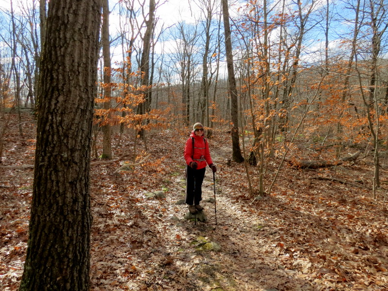
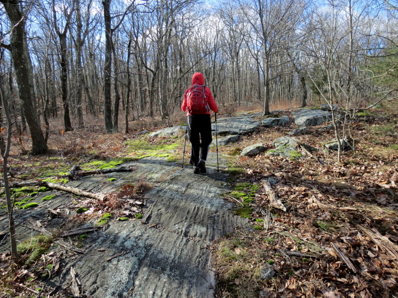
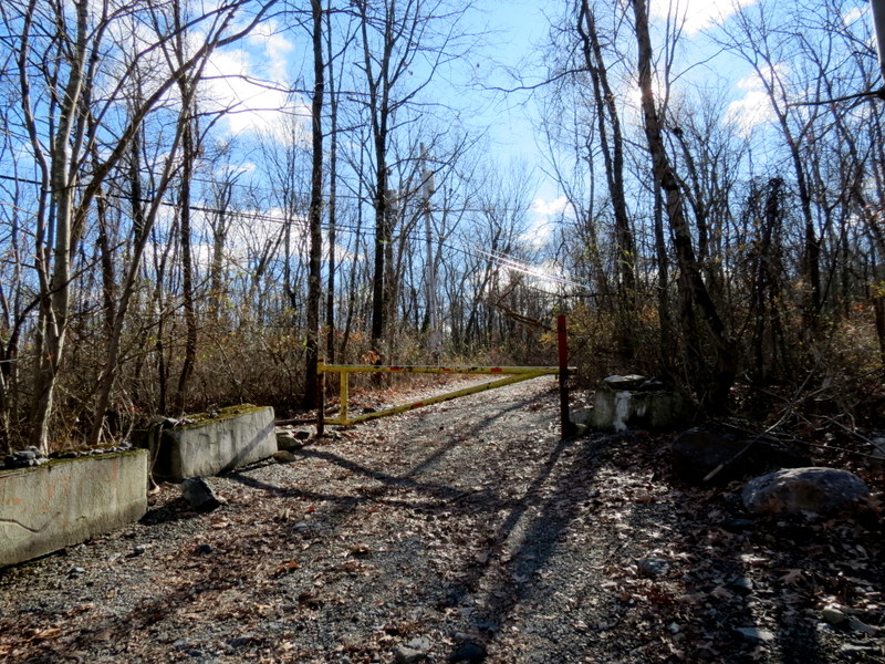
We haven't hiked this area in many years, perhaps as many as fifteen! So it was time to return. We parked in the southern-most parking area on Upper Hibernia Road, basically where
the road ends at the gate. My plan was to hike mainly unblazed trails. The NYNJ Trail Conference Map #125 is filled with criss-crossing red-dashed paths, which indicate paths which
may be as nice as well-groomed, albeit unblazed, woods roads, or something that may have been navigable years ago, but all bets are off as to their current state.
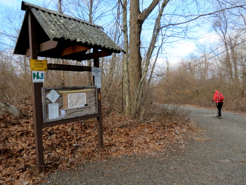
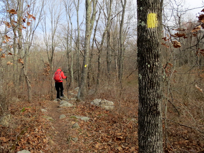
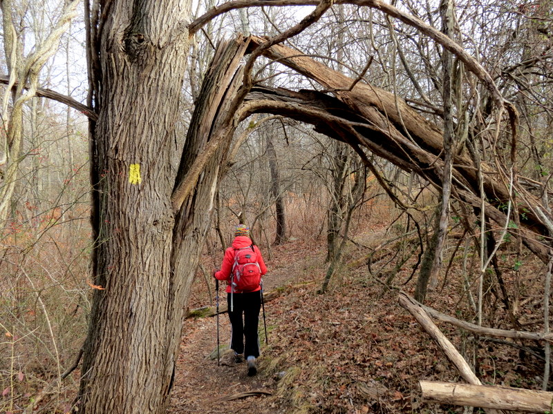
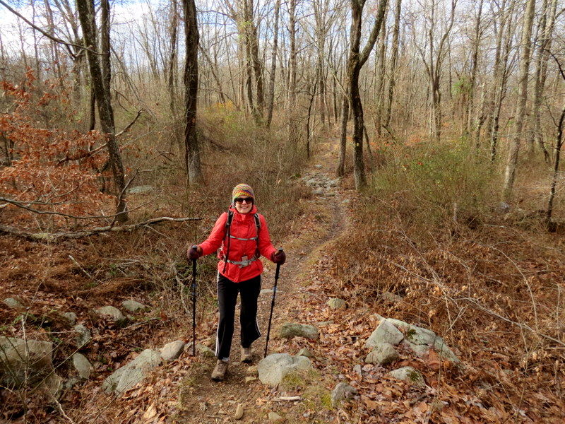
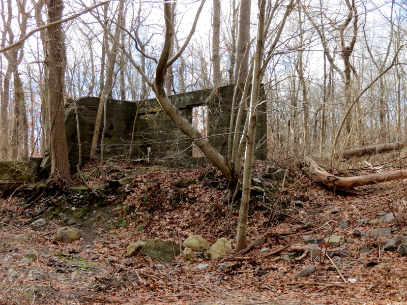
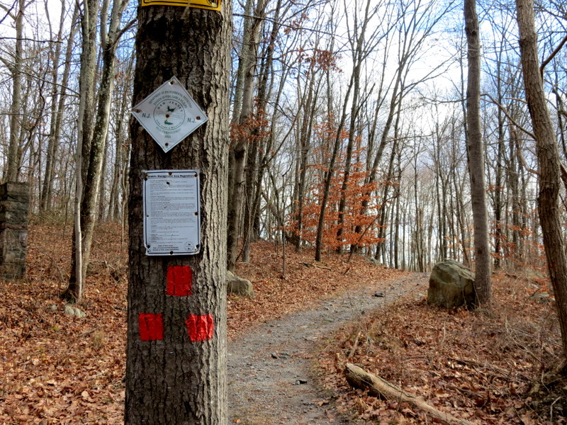
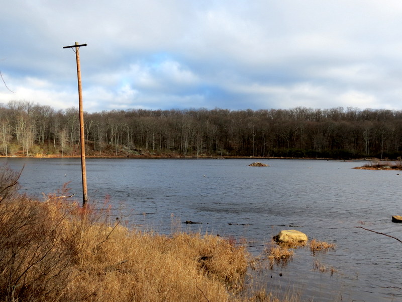
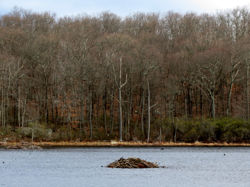
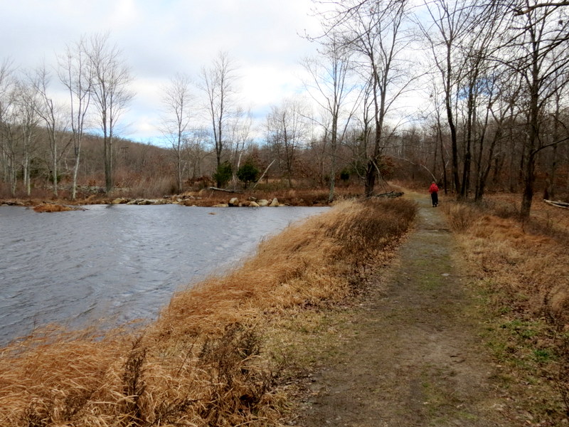
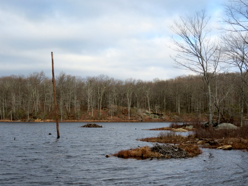
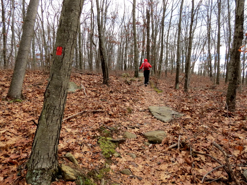
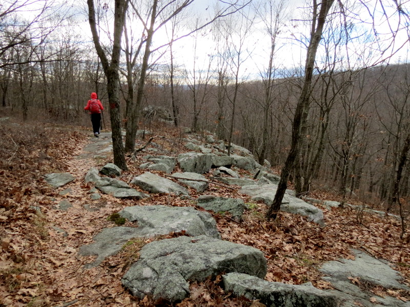
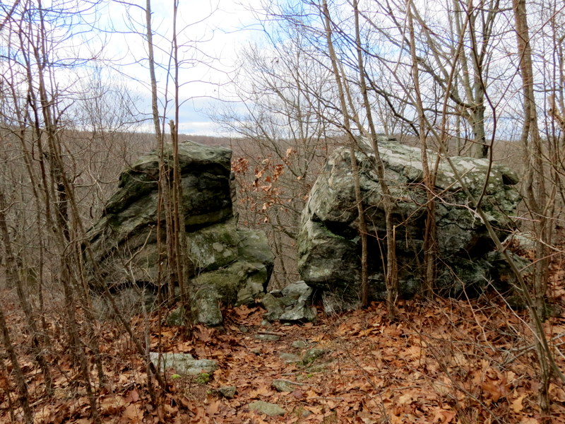
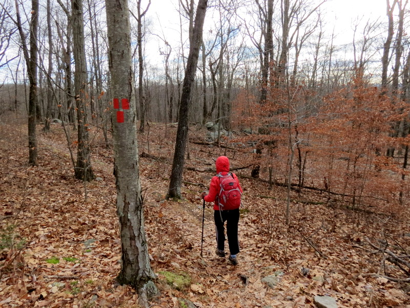
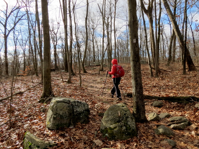
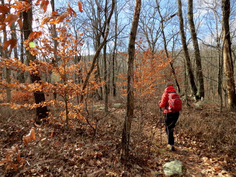
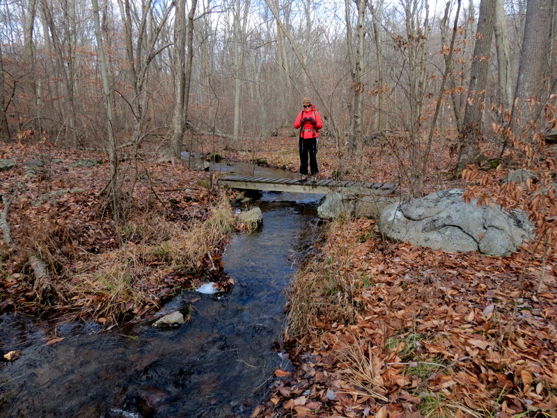
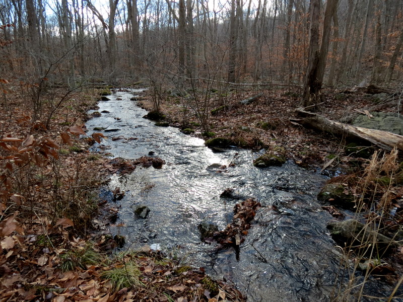
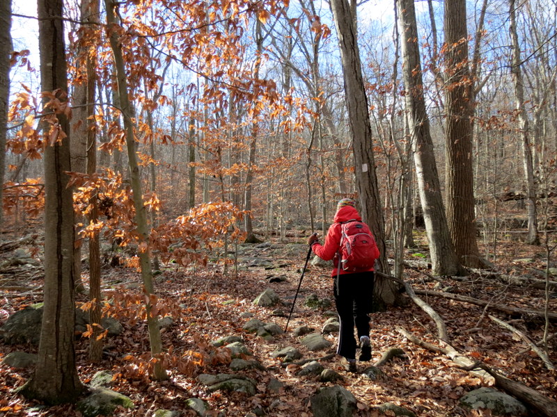
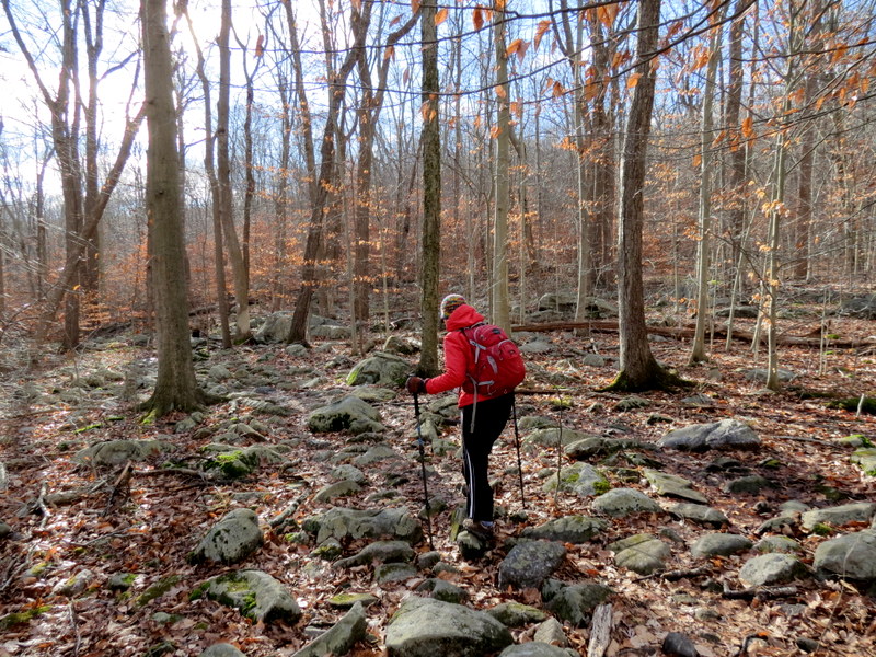
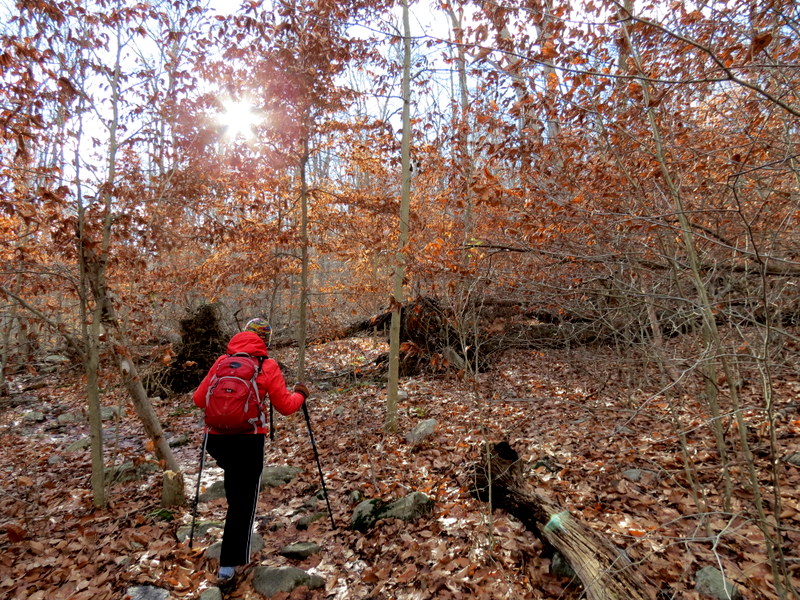
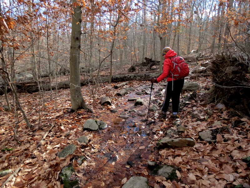
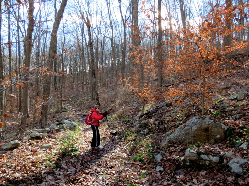
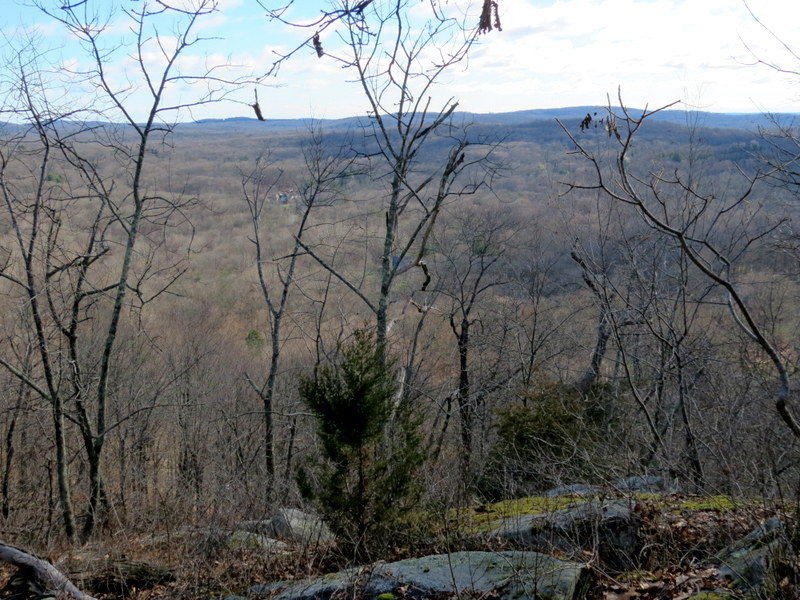
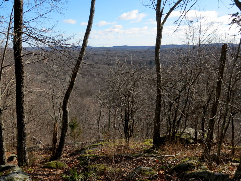
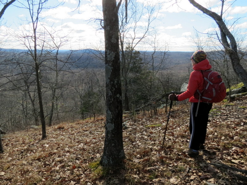
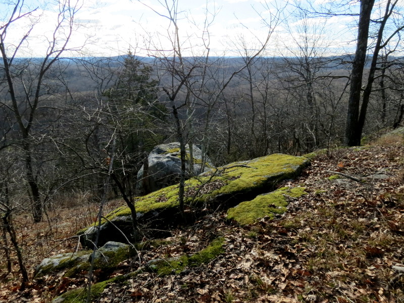
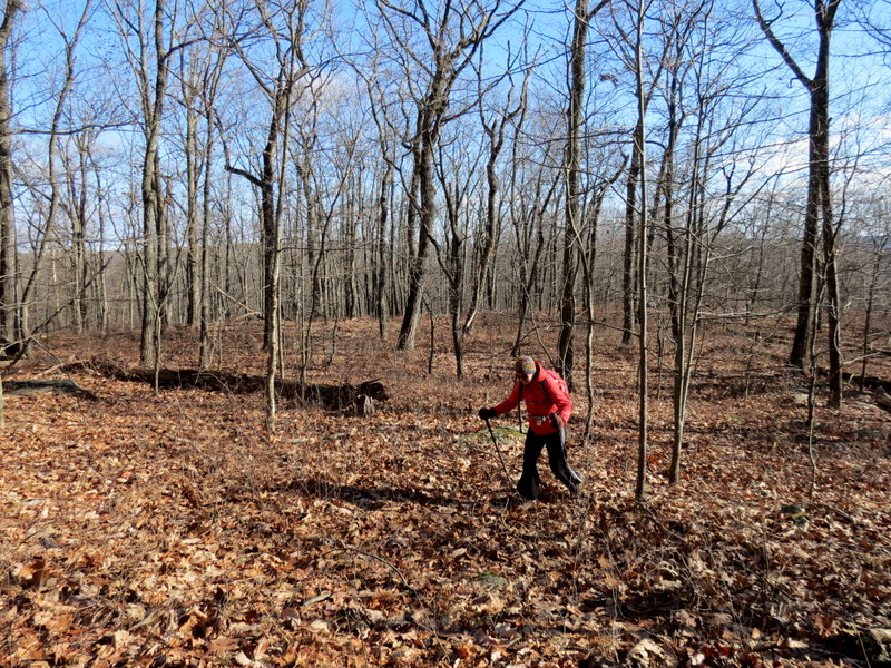
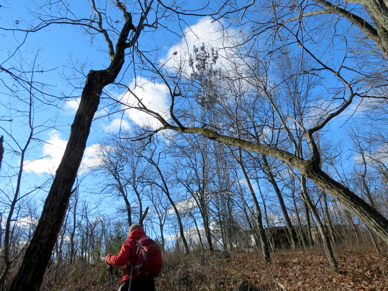
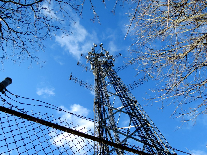
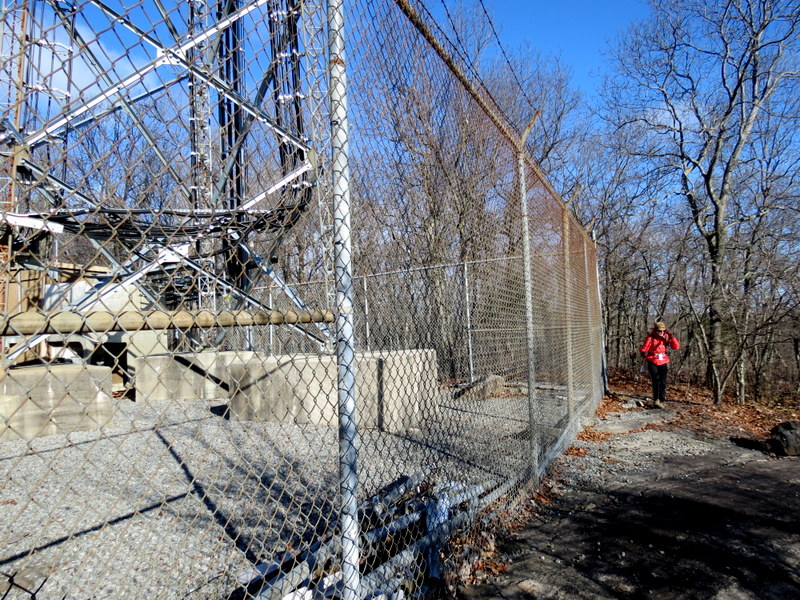
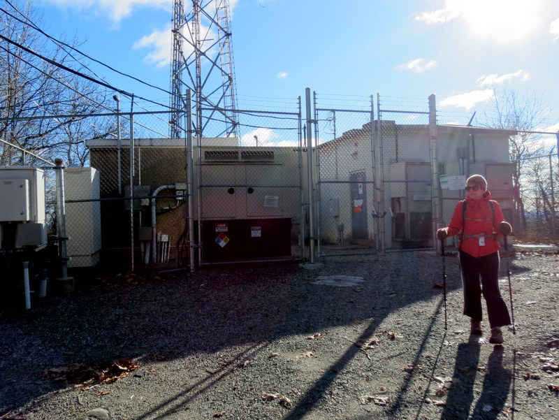
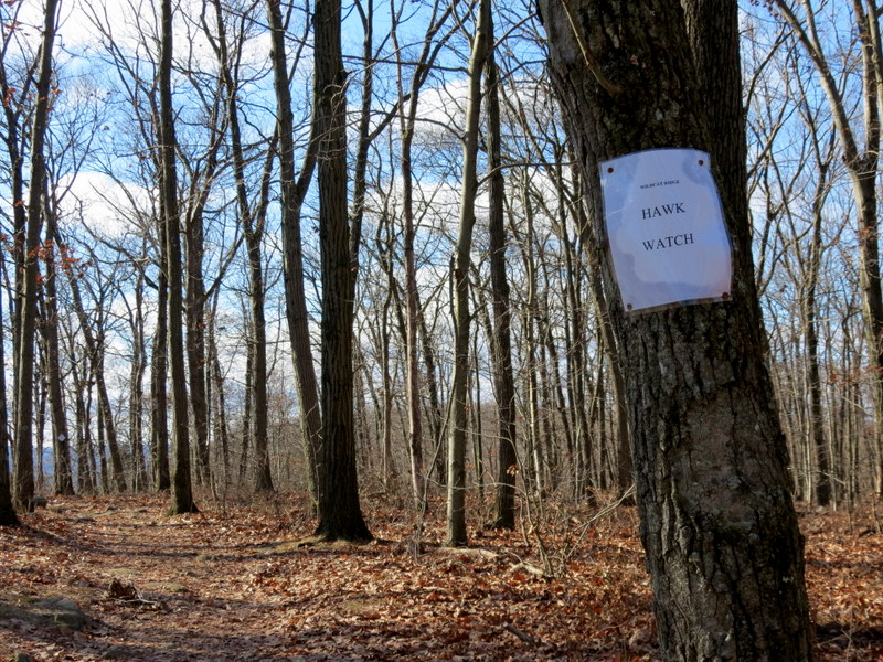
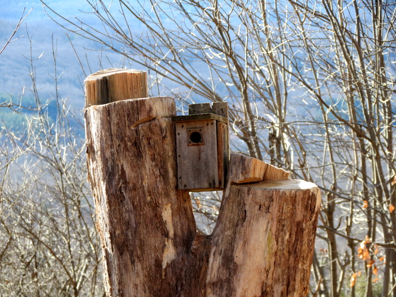
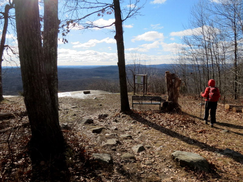
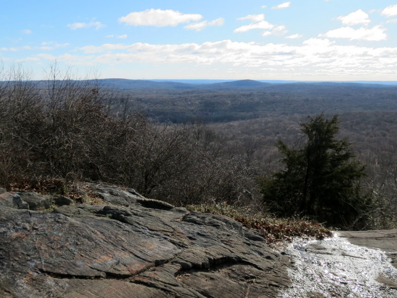
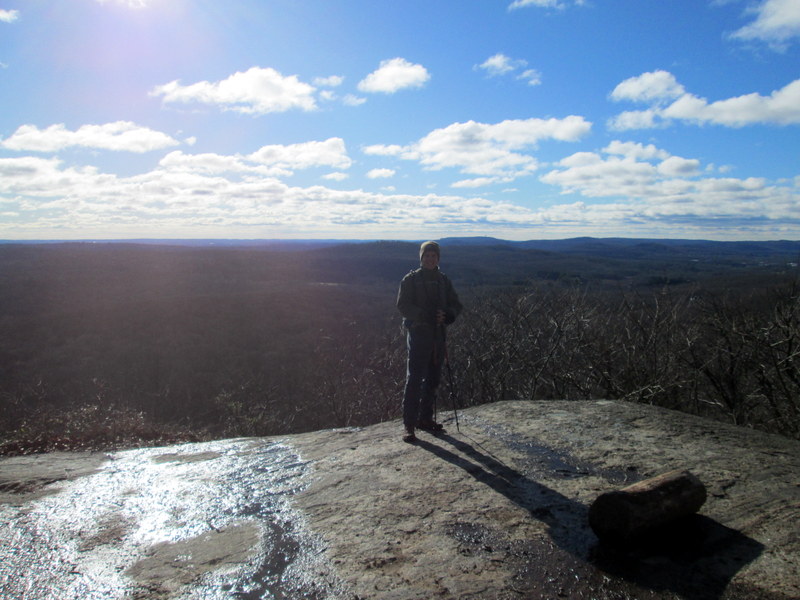
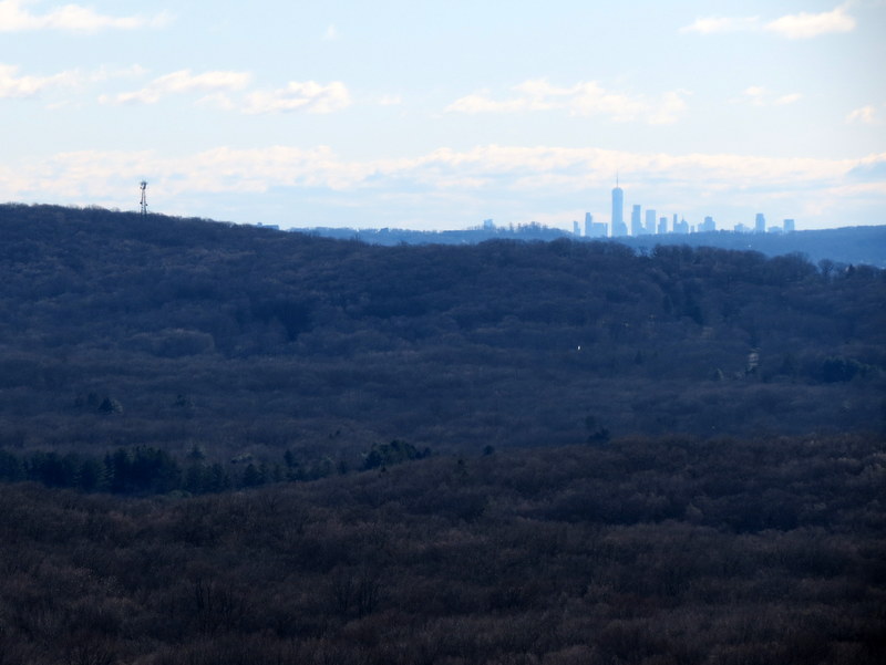
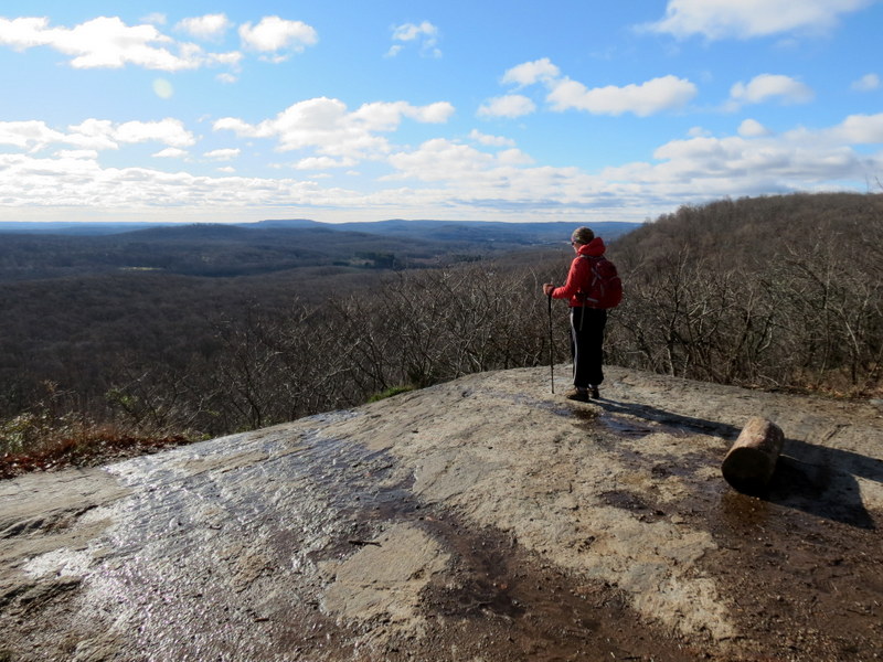
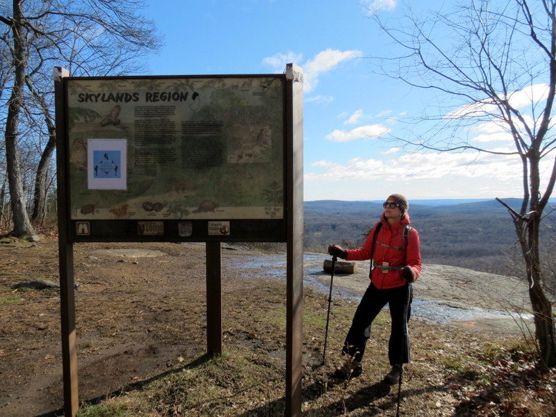
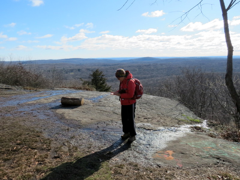
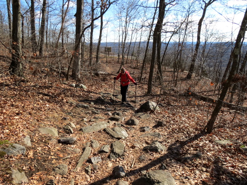
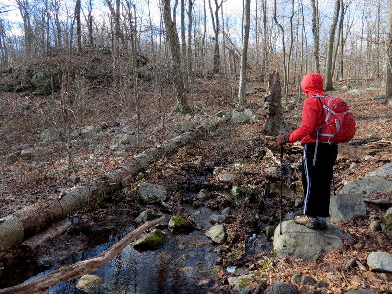
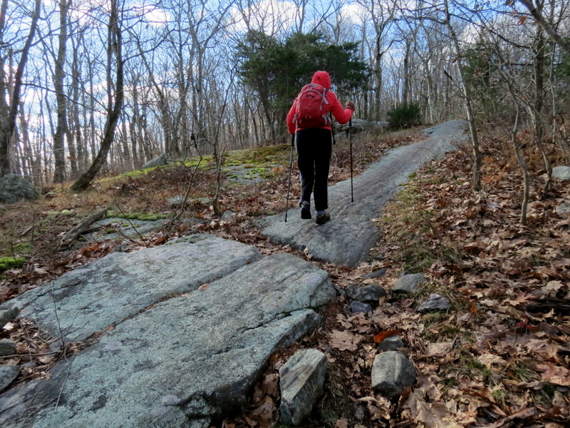
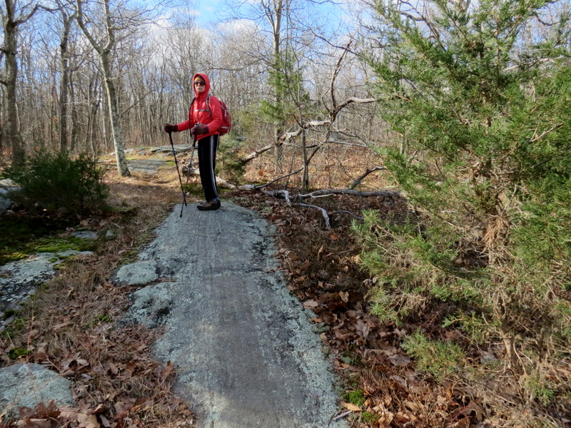
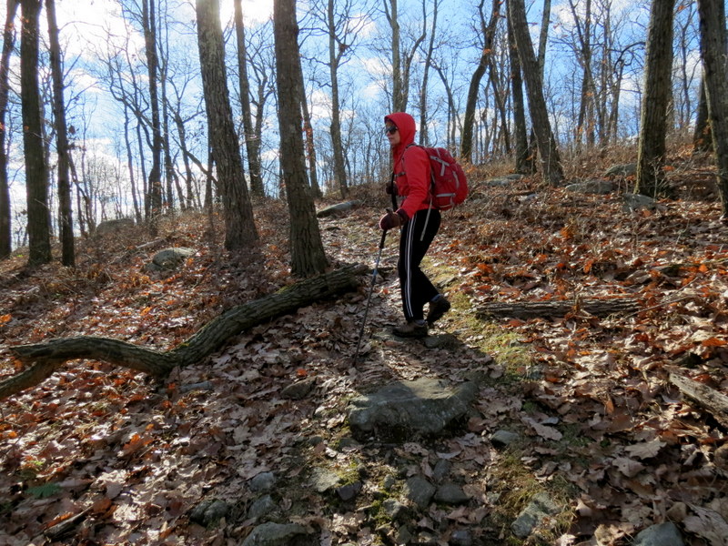
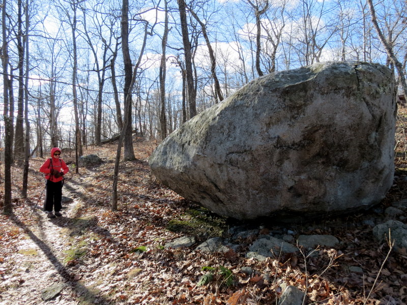
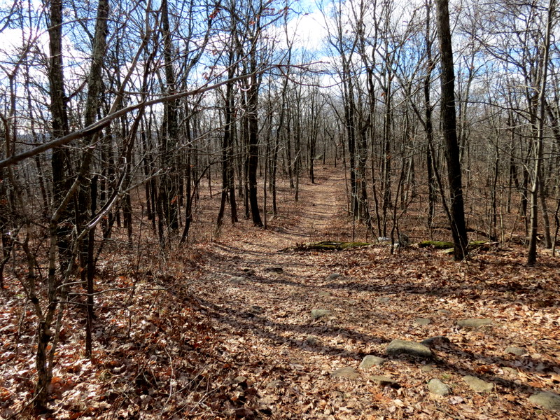
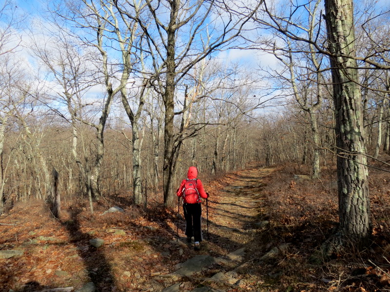
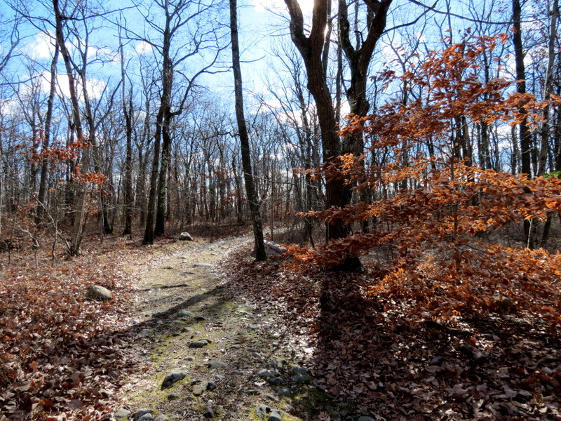
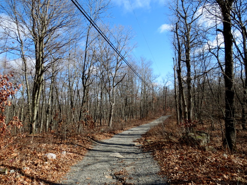
So we headed into the woods on the yellow-blazed Wildcat Ridge trail. At the northern-most parking lot we headed east on the red-blazed Beaver Pond trail, skirting its southern bank. When we got to White, we headed north, then looked for the unblazed path indicated on the map, which heads to the Maze. It quickly faded into overgrowth. So we headed back to White, went south, picking up another unblazed path east, which wrapped around the hill atop which sits the communications tower, and then climbs steeply to it. This we did manage to stay on for about 90% of the stretch. At the tower we headed on a path to Hawk Watch, taking in the views. We continued south on White, intending to take yet another unblazed trail west back to the car. We couldn't get very far on this one, so we continued south on White before finally getting to its southern-most bend to the west. A woods road heads north up the hill at this point. We took this woods road, which was very well groomed, all the way downhill back to the car. Total distance hiked today was 4.1 miles in two hours and 45 minutes.
(Click on the thumbnail to bring up a bigger image in a pop-up window)
|
 |
 |
 |
 |
 |
 |
 |
 |
 |
 |
 |
 |
 |
 |
 |
 |
 |
 |
 |
 |
 |
 |
 |
 |
 |
 |
 |
 |
 |
 |
 |
 |
 |
 |
 |
 |
 |
 |
 |
 |
 |
 |
 |
 |
 |
 |
 |
 |
 |
 |
 |
 |
 |
 |
 |
 |
 |
 |
 |
 |

|
|
Photographs and content copyright © Dan Balogh Web design by Dan Balogh |