 |
|
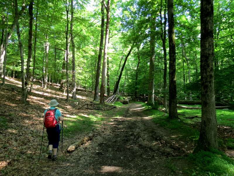
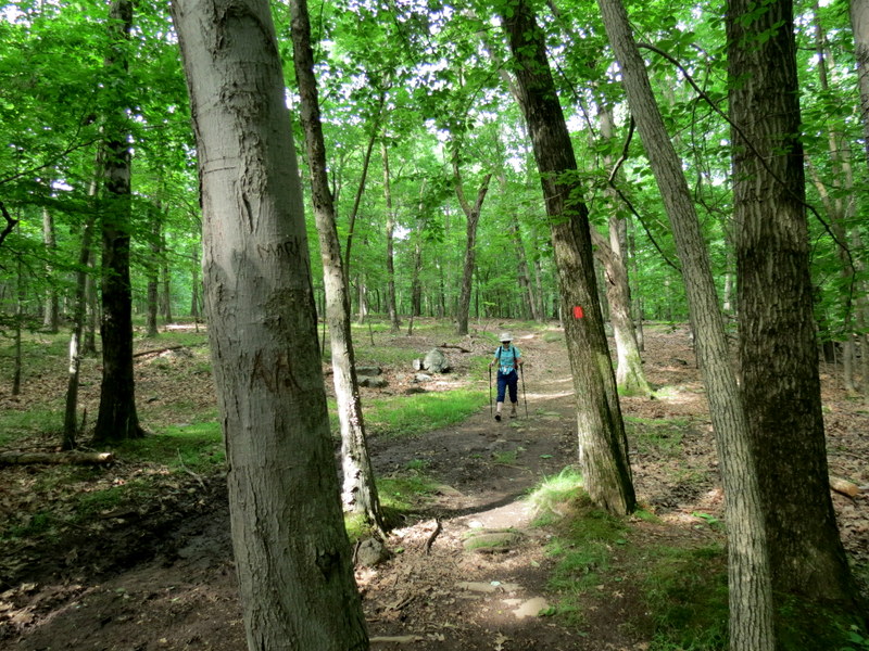
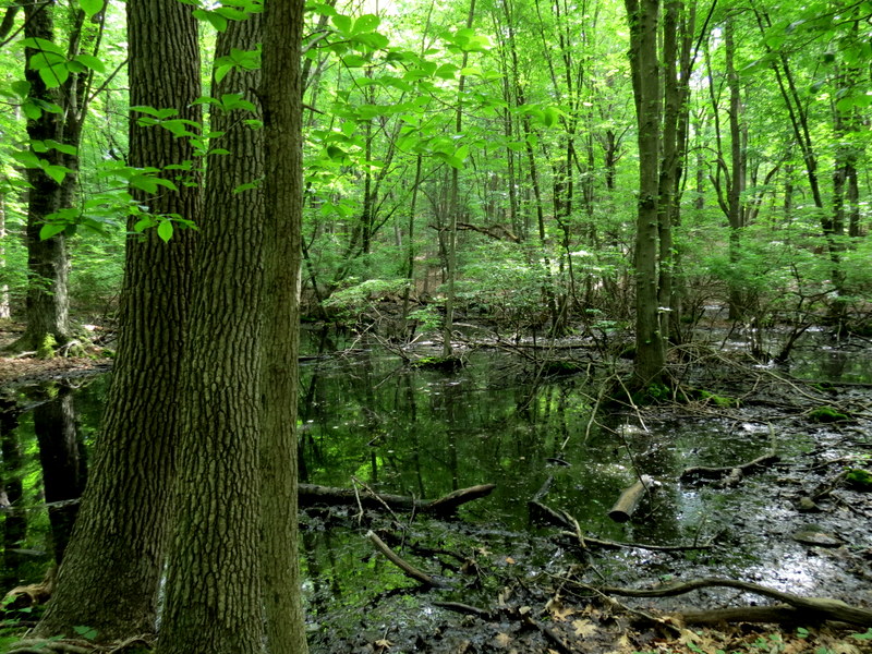
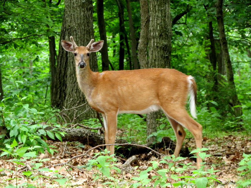
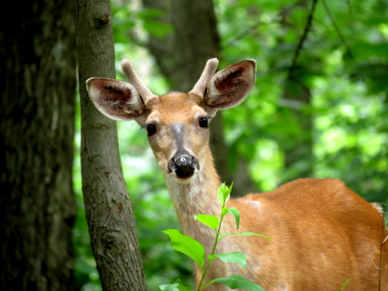
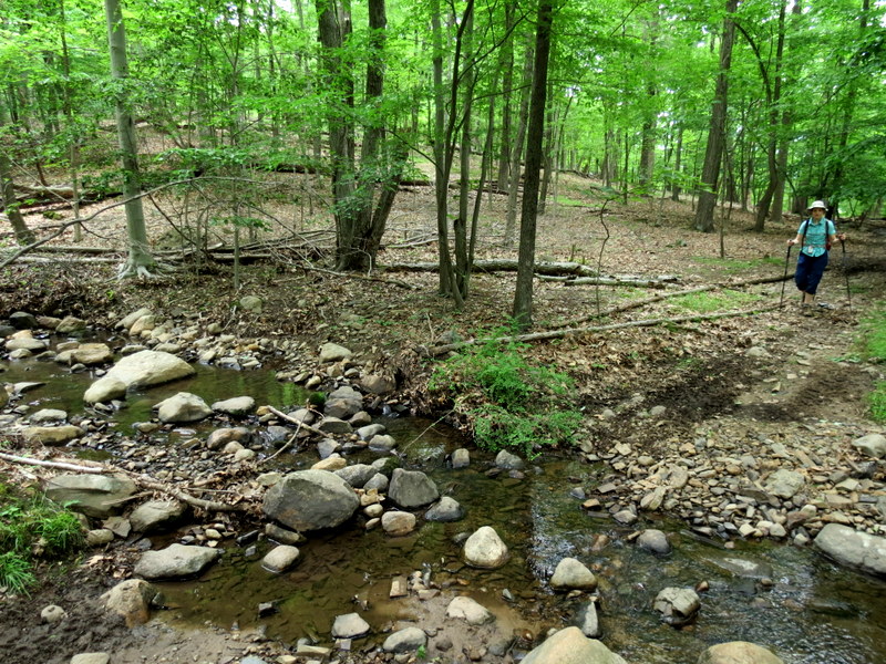
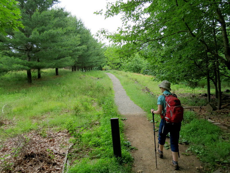
We hiked this mountain, stuck right in the middle of urbanity, twice in the past: once in 2005 and again in 2010. Gaia GPS shows an unbelievable number of unmarked trails,
so we returned today to climb to the view and make our way back using at least one of those trails.
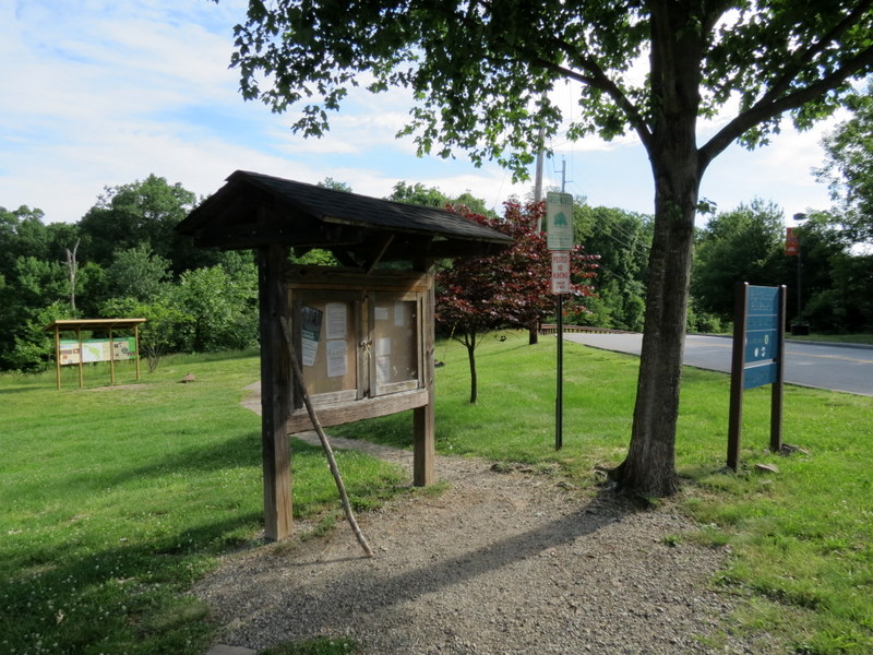
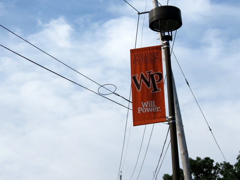
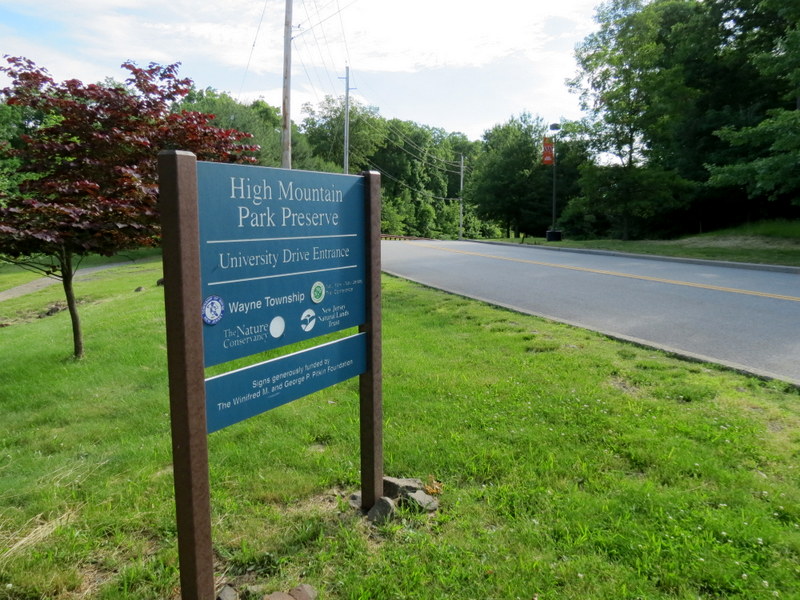
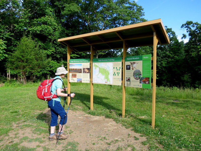
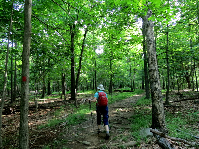
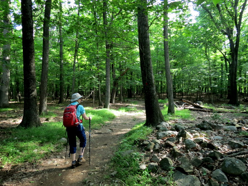
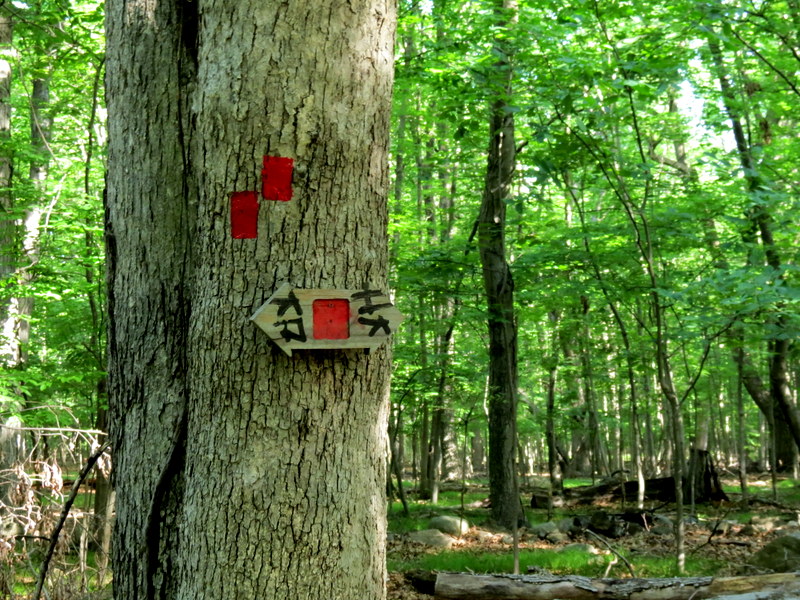
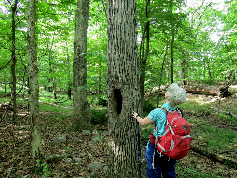
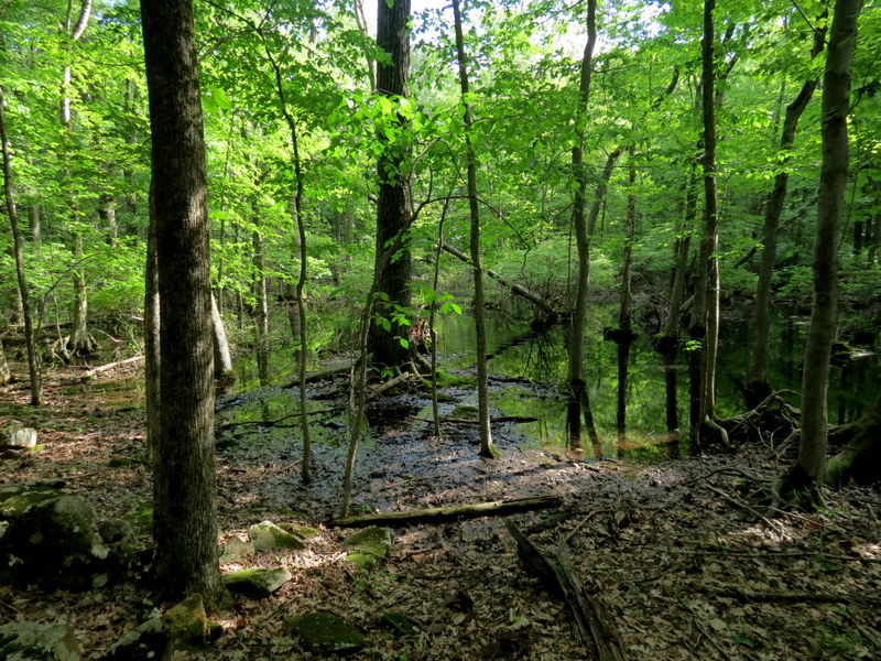
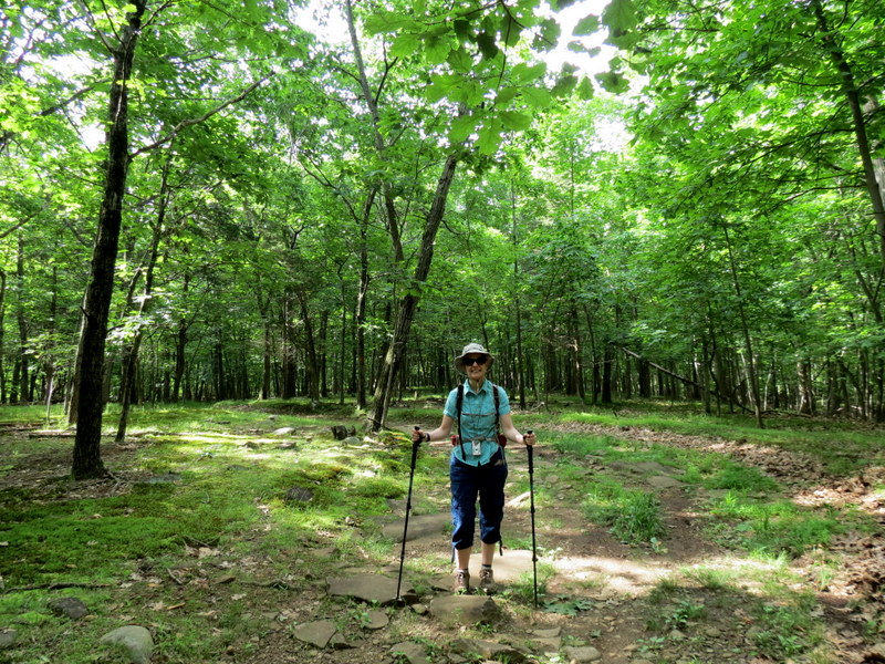
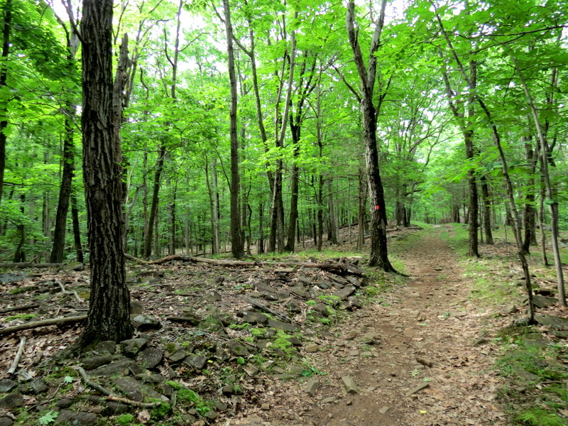
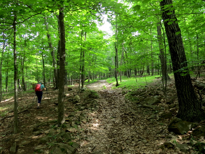
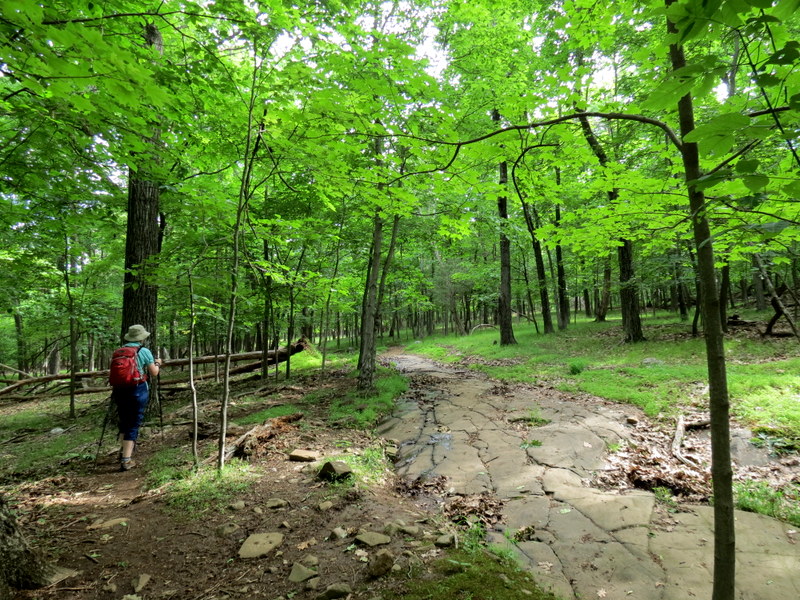
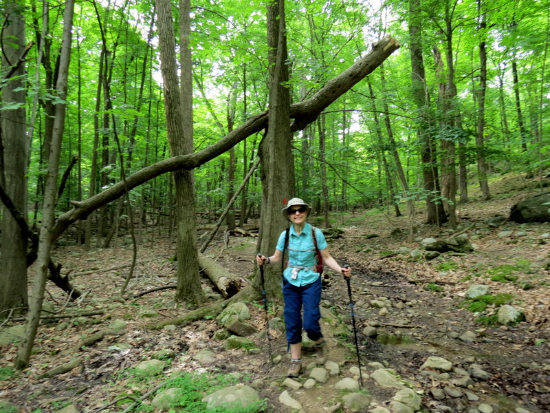
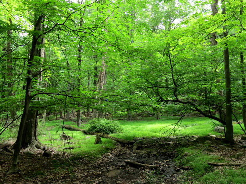
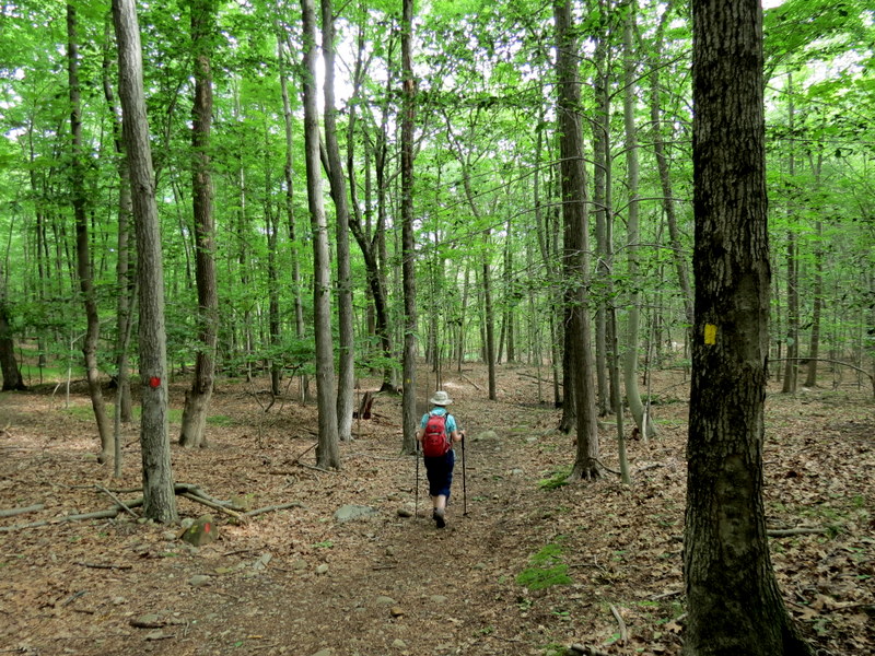
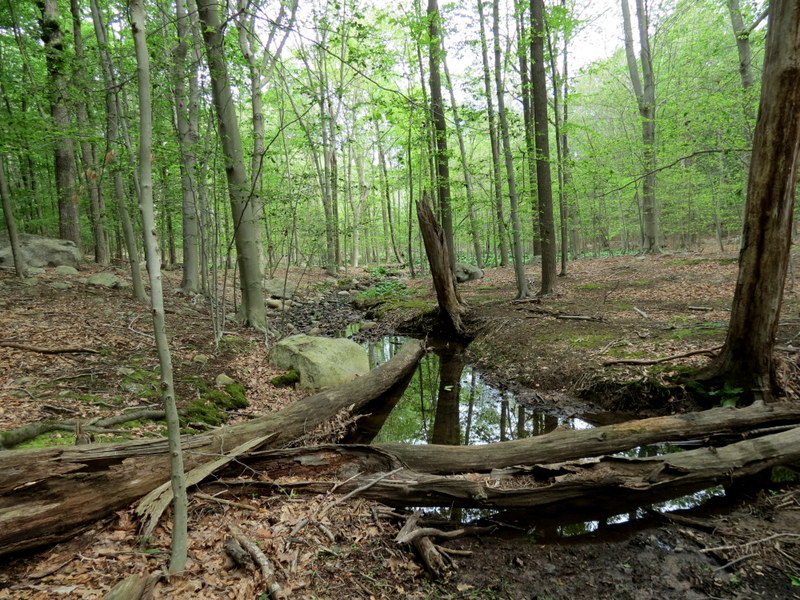
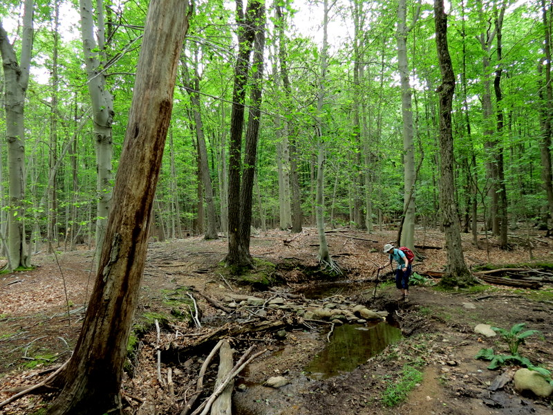
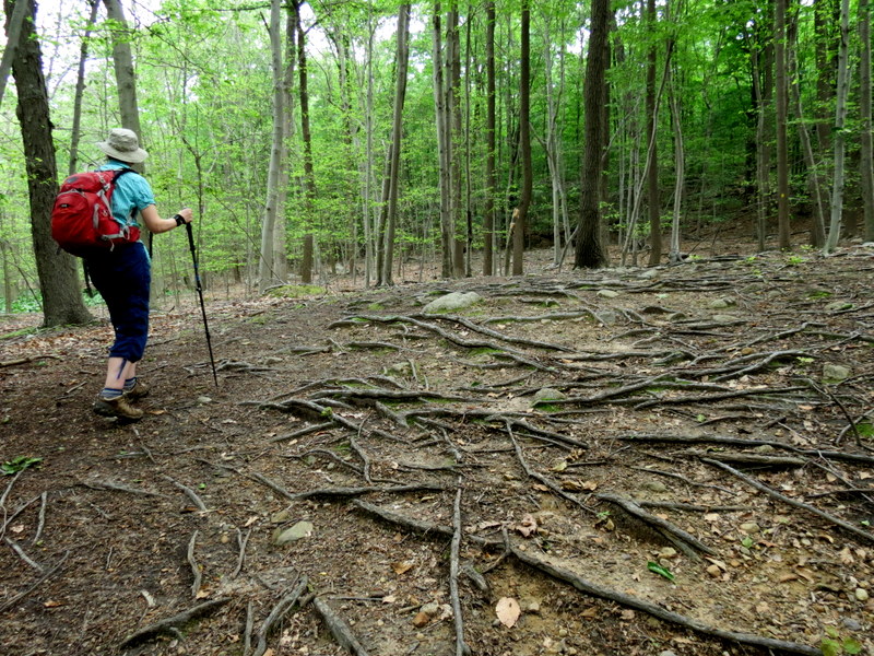
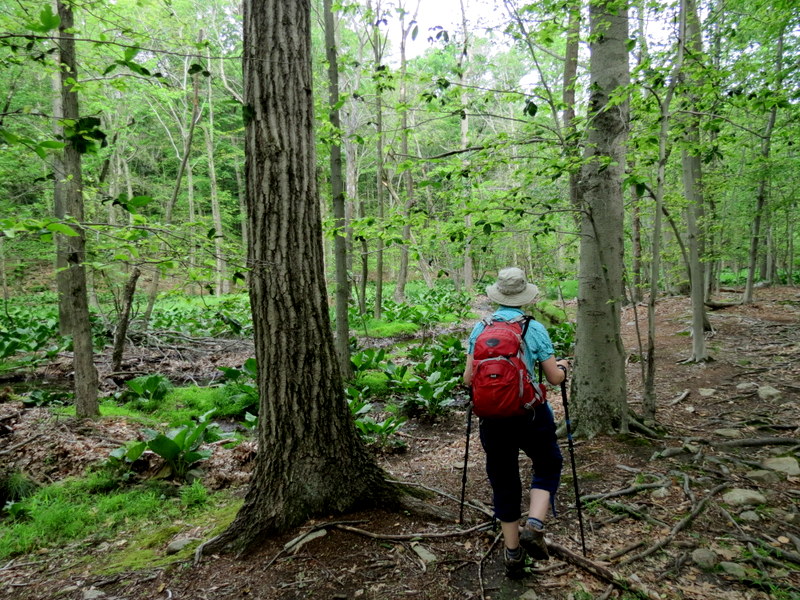
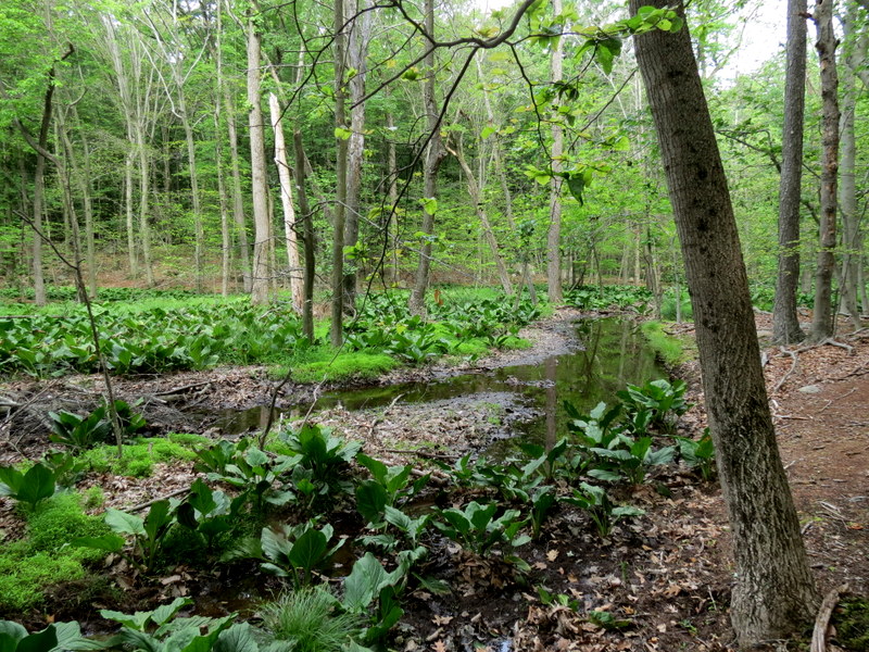
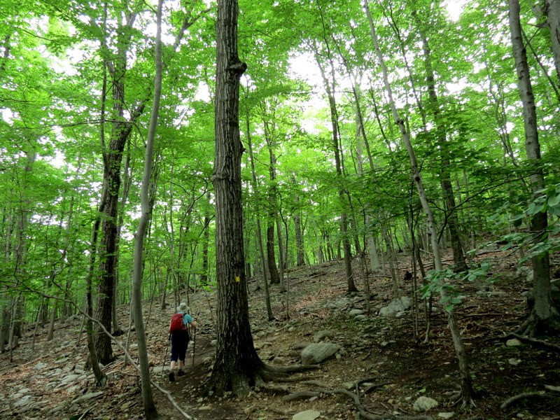
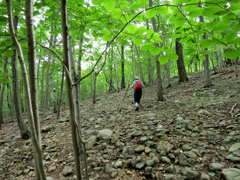
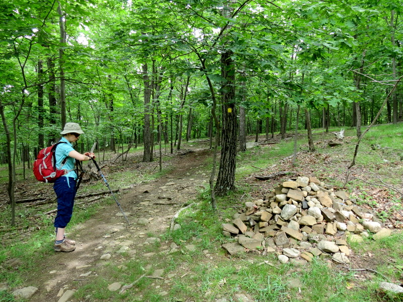
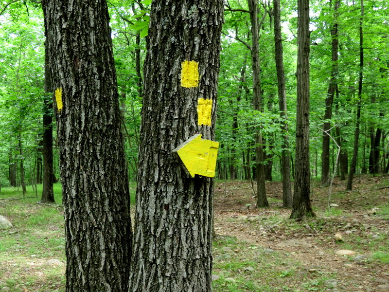
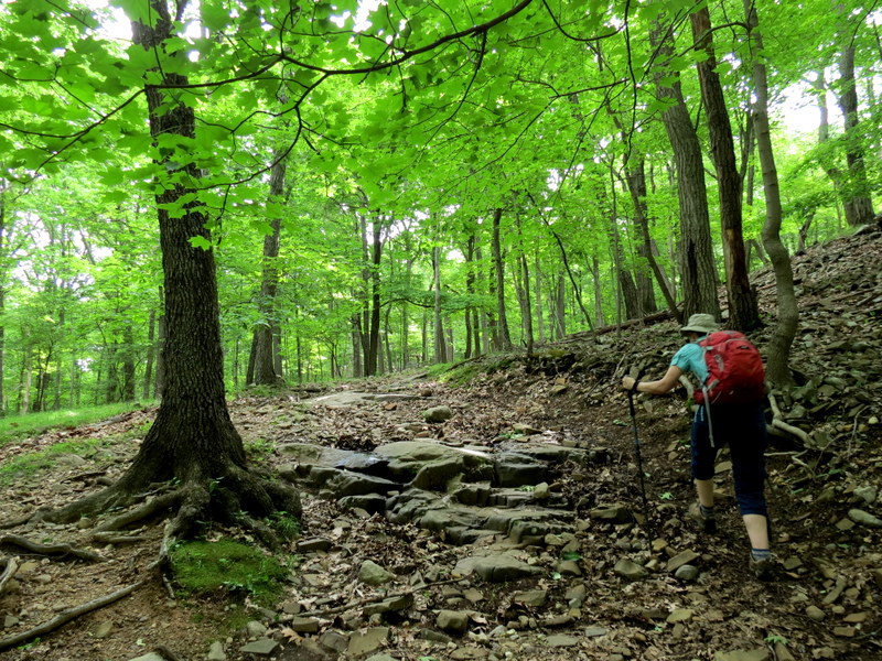
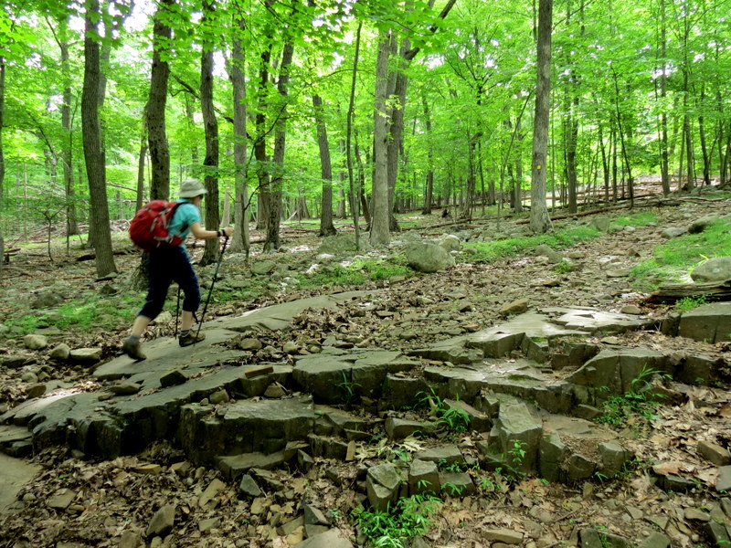
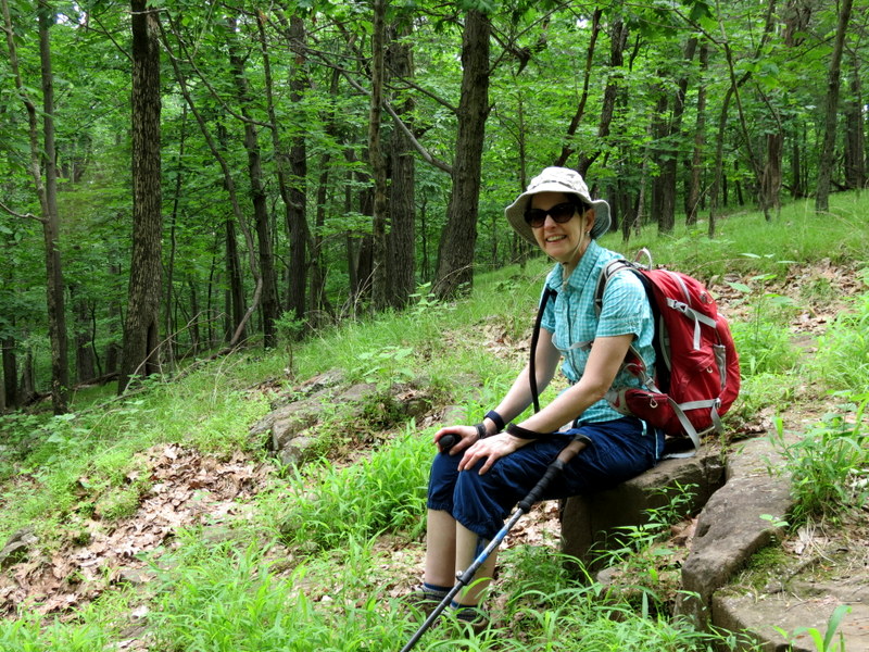
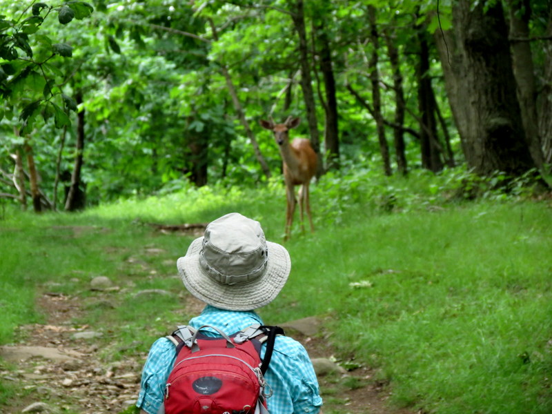
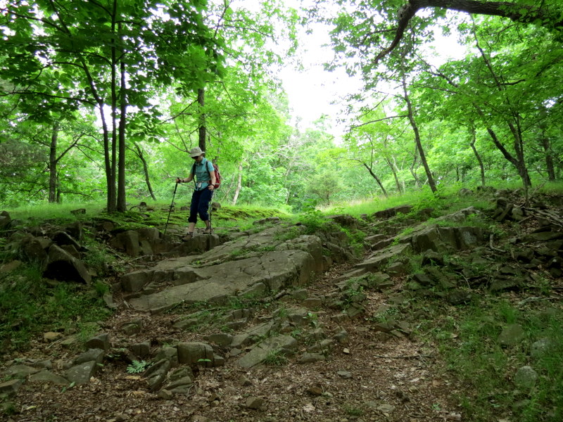
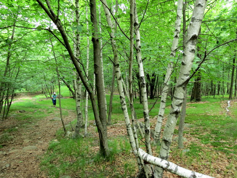
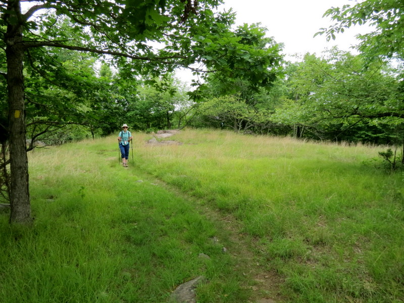
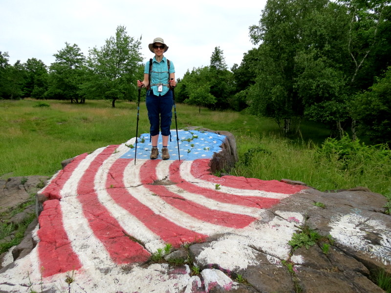
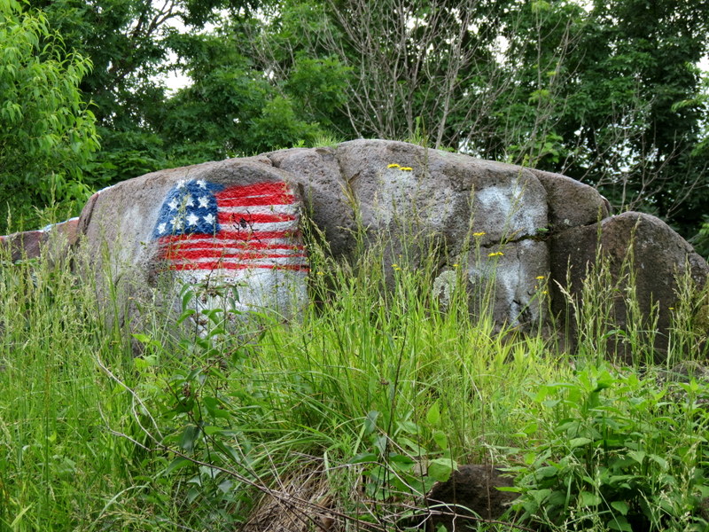
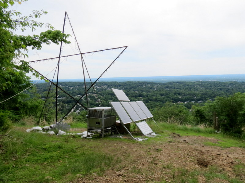
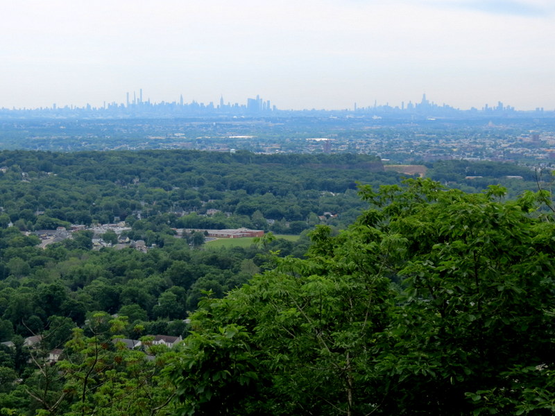
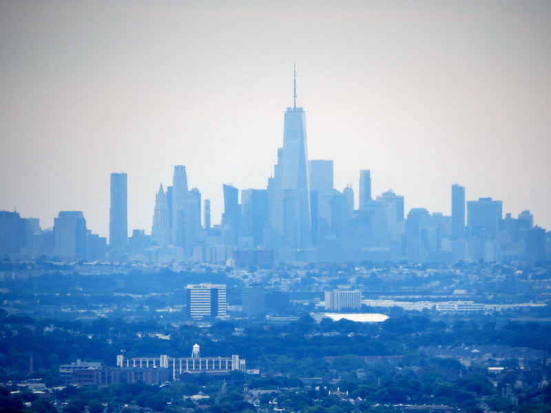
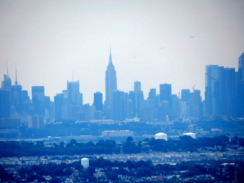
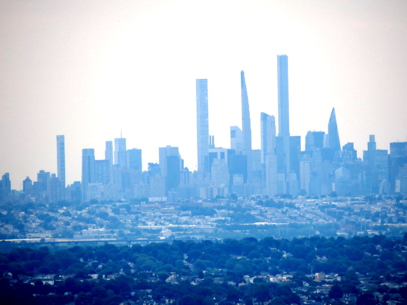
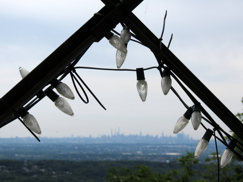
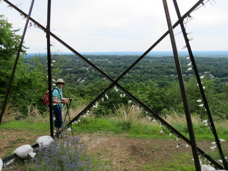
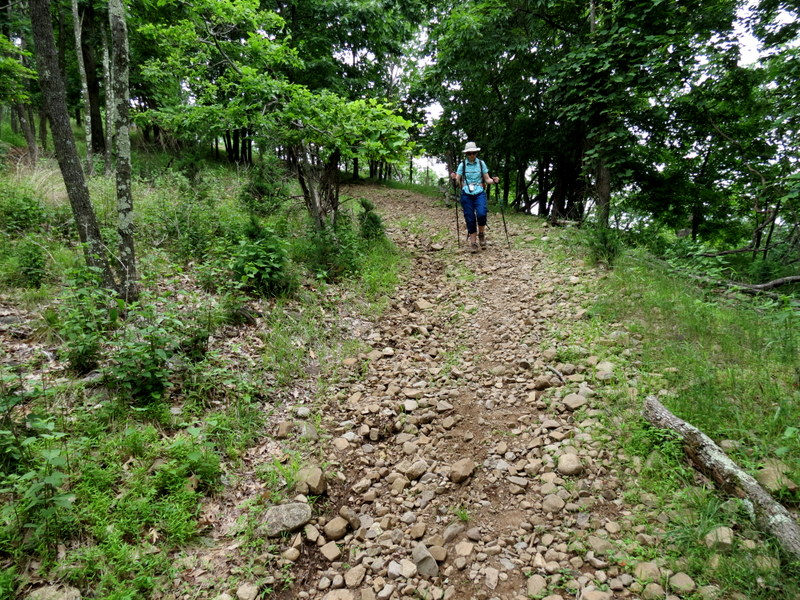
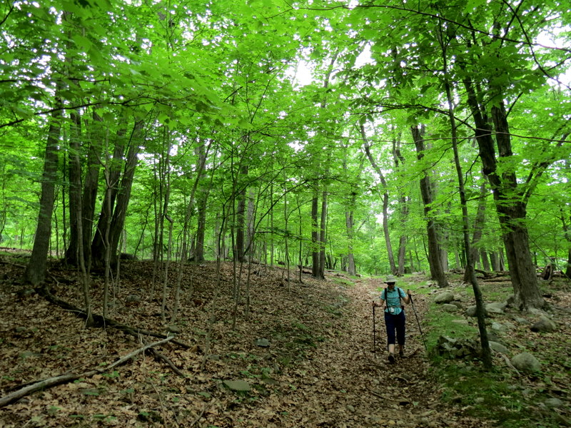
Using this map we parked at the lot in William Paterson University (mispelled as "Patterson" on the map), and headed north into the forest on the Red trail. At the second crossing with Yellow, we headed east on Yellow, steadily climbing the mountain to the view point west, with the Manhattan skyline visible in the distance. A giant solar-powered star "of hope" is now here, installed within the last twelve years because it wasn't here in 2010. It occupies much of the space at the viewpoint, but must look nice when it's illuminated. After descending from the summit, continuing on Yellow, instead of making the sharp right turn to head back to Red, we continued south, following one of the unmarked trails on the Gaia GPS map. We had no trouble at all following it back to the university road where it paralleled the road, heading west, back to Red, which we took for a very short stretch, back to the car. We plan on returning one day to hike even more of these unblazed trails, since the mountain is filled with them. Total distance hiked today was just over five miles in just over three hours.
|
 |
 |
 |
 |
 |
 |
 |
 |
 |
 |
 |
 |
 |
 |
 |
 |
 |
 |
 |
 |
 |
 |
 |
 |
 |
 |
 |
 |
 |
 |
 |
 |
 |
 |
 |
 |
 |
 |
 |
 |
 |
 |
 |
 |
 |
 |
 |
 |
 |
 |
 |
 |
 |
 |
 |
 |

|
|
Photographs and content copyright © Dan Balogh Web design by Dan Balogh |