 |
|
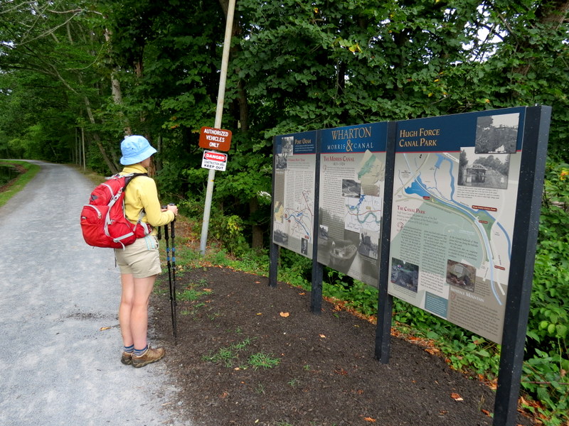
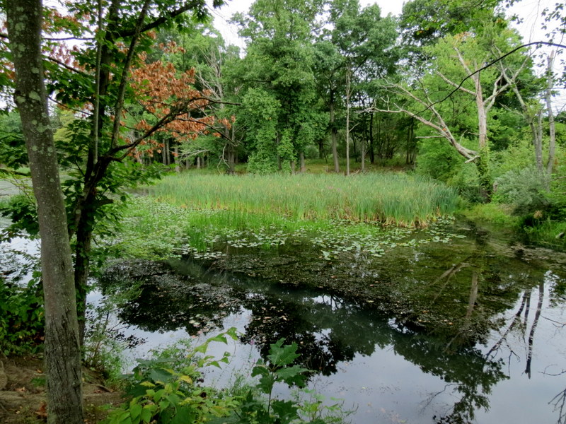
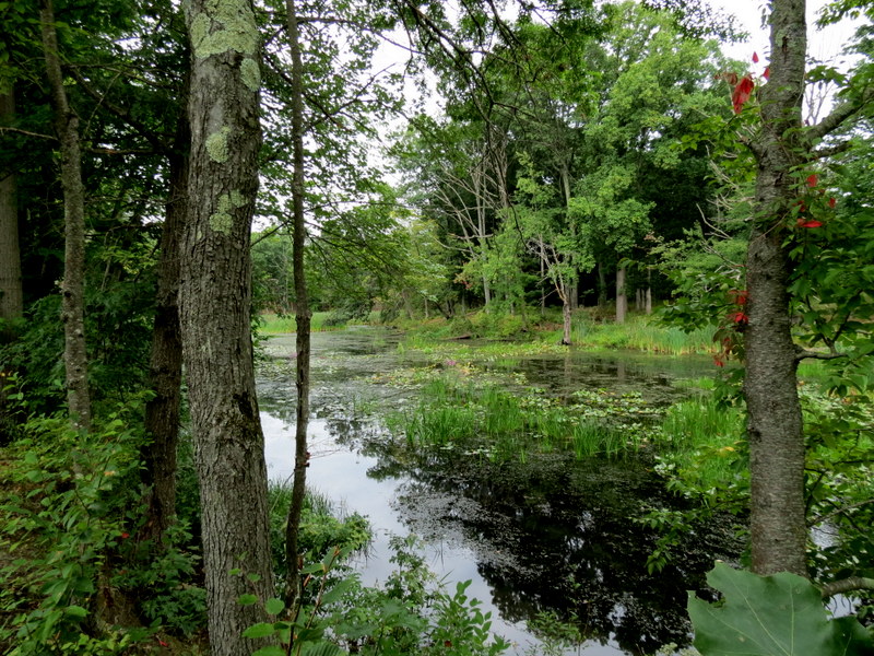
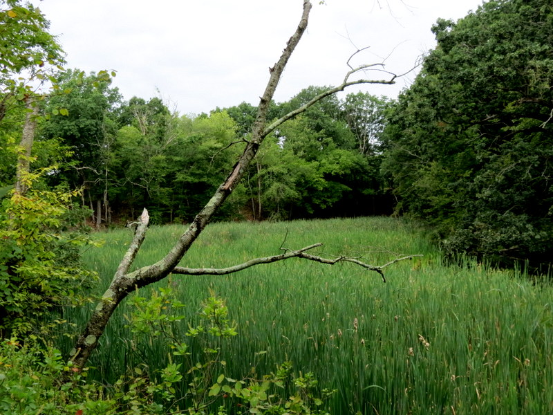
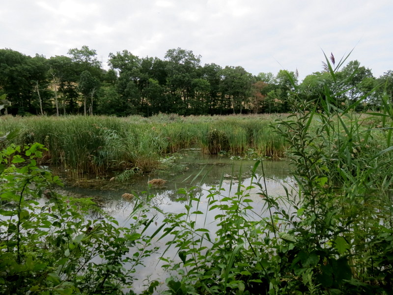
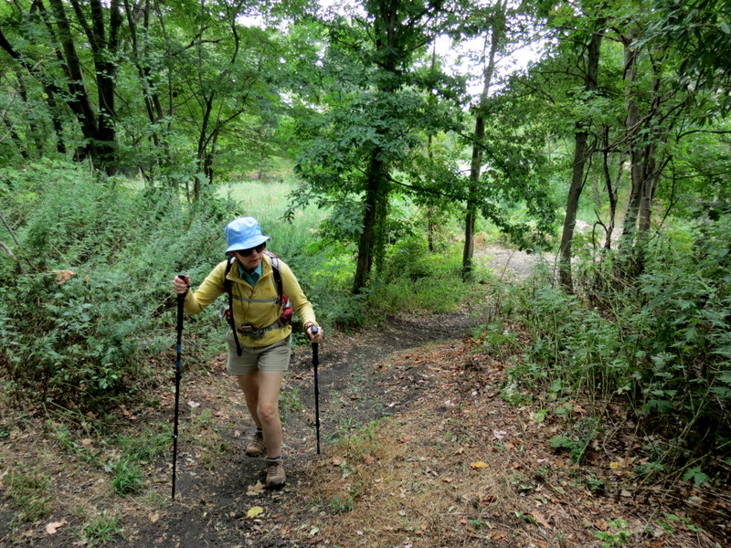
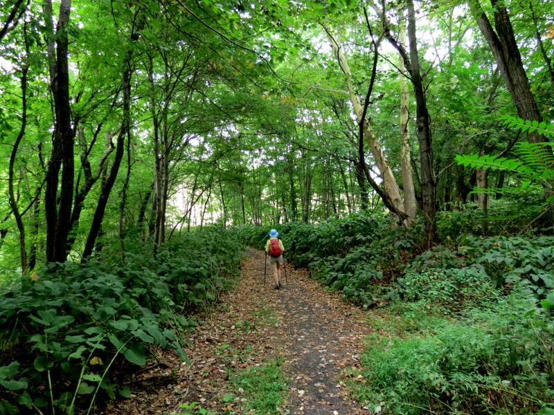
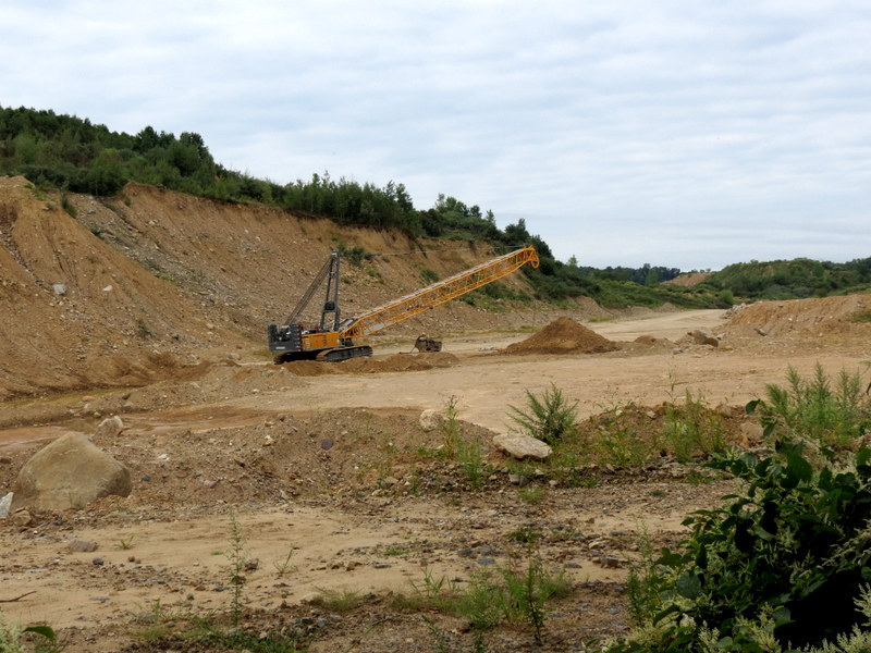
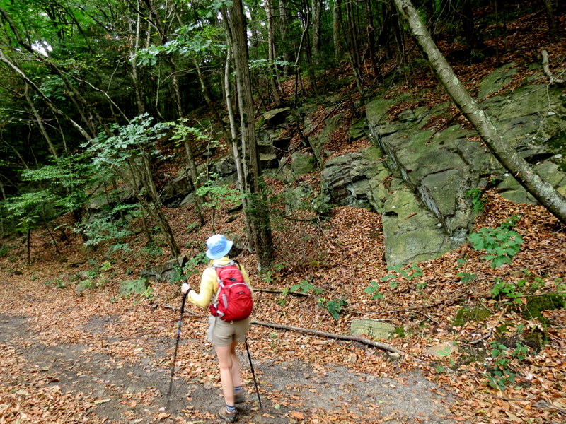
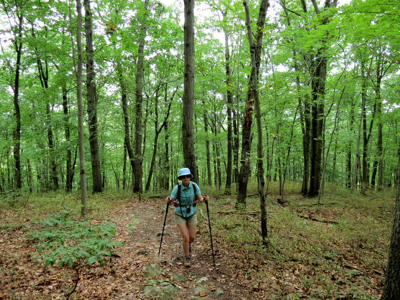
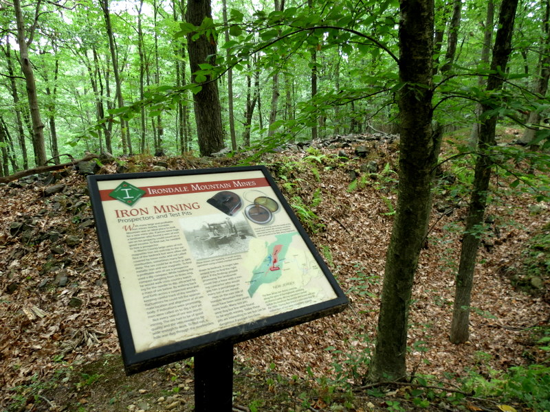
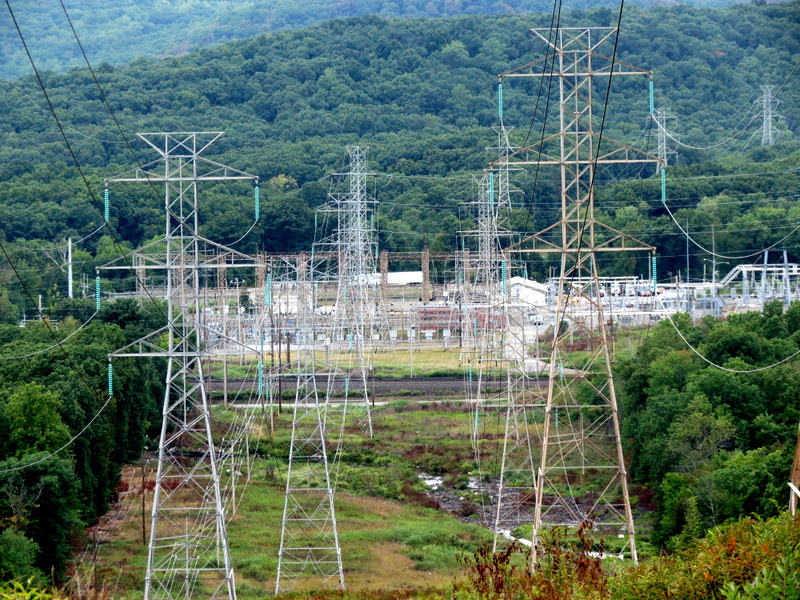
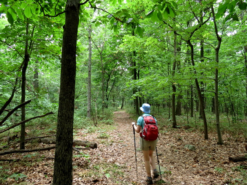
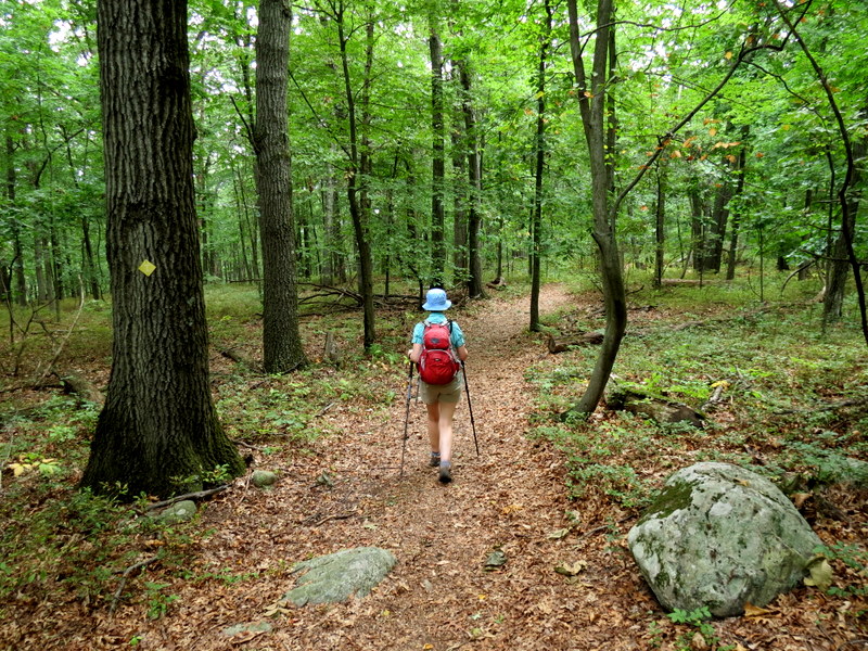
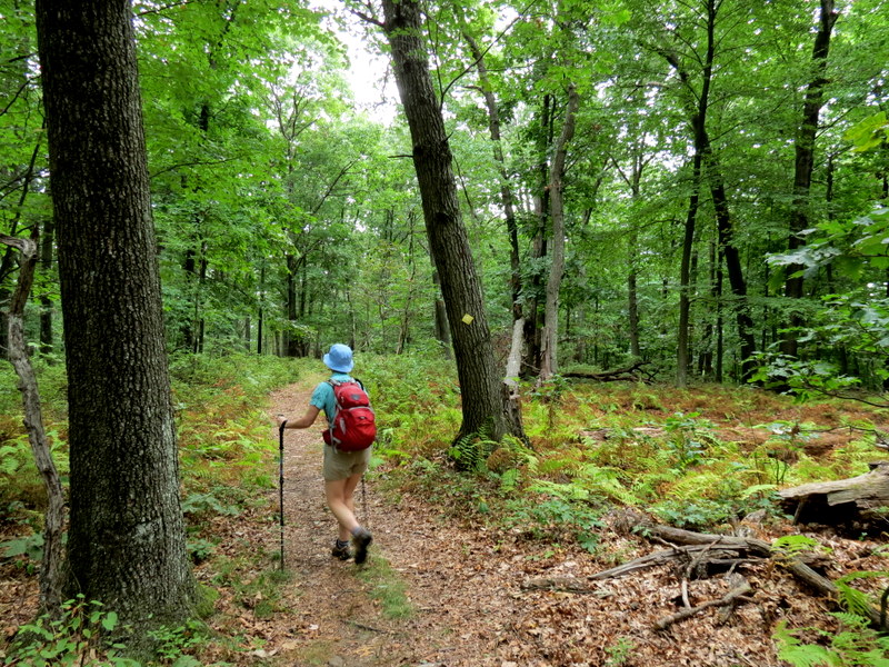
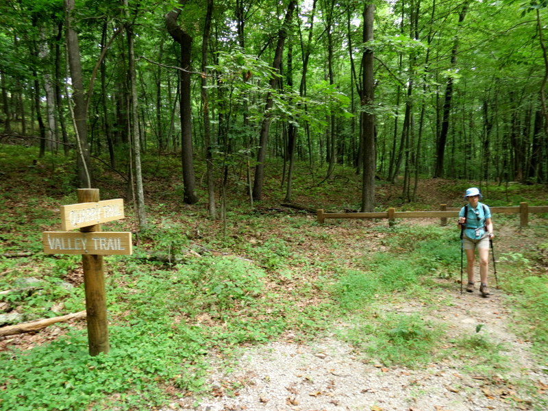
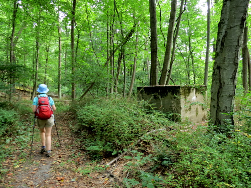
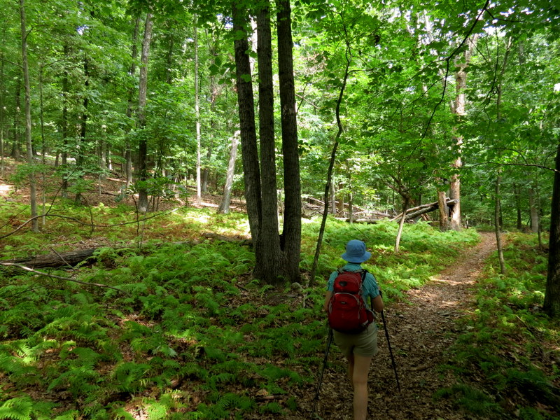
Today we headed to Wharton to hike a small network of trails we never hiked before. We started with a loop in Hugh Force Park and then climbed to the network of
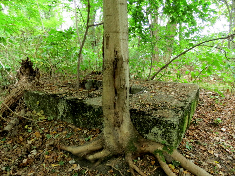
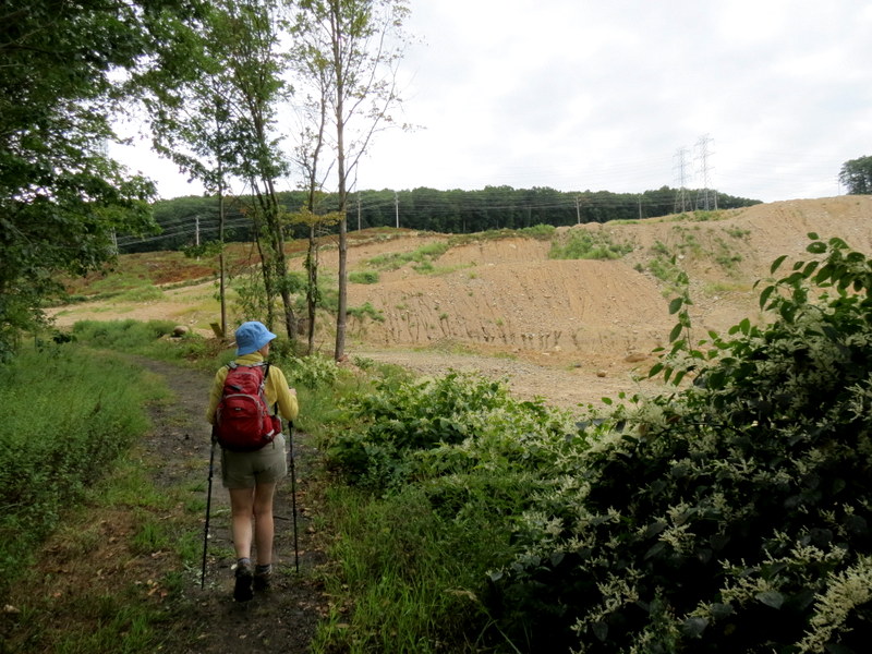
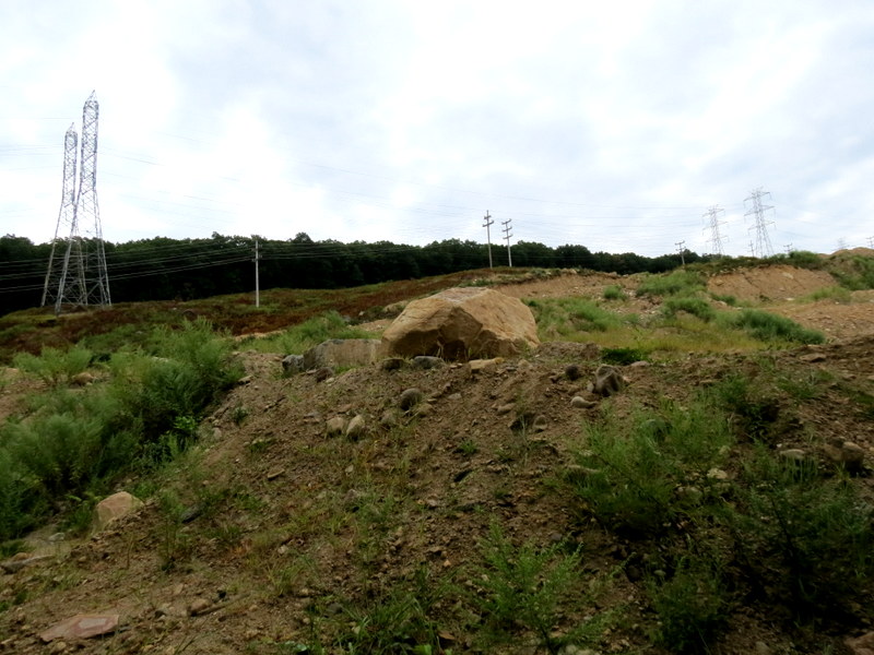
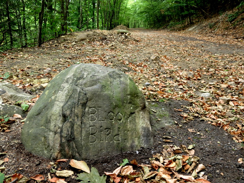
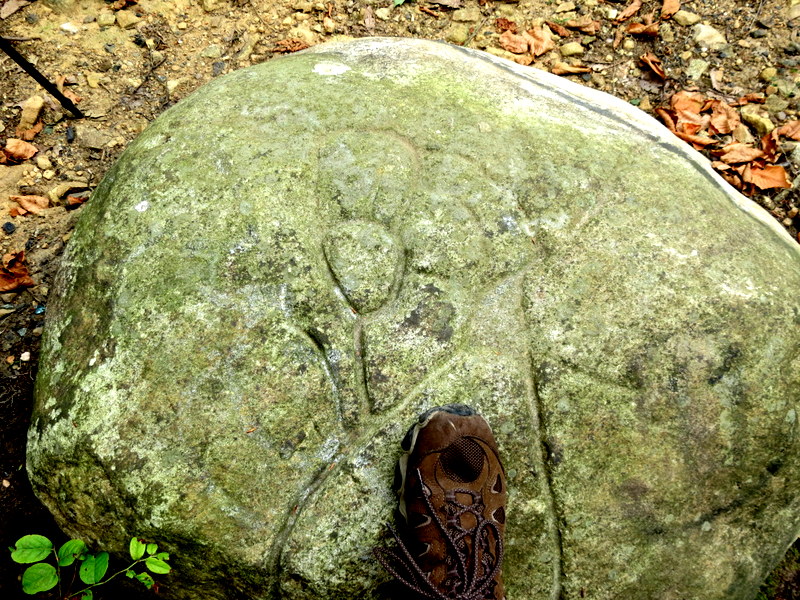
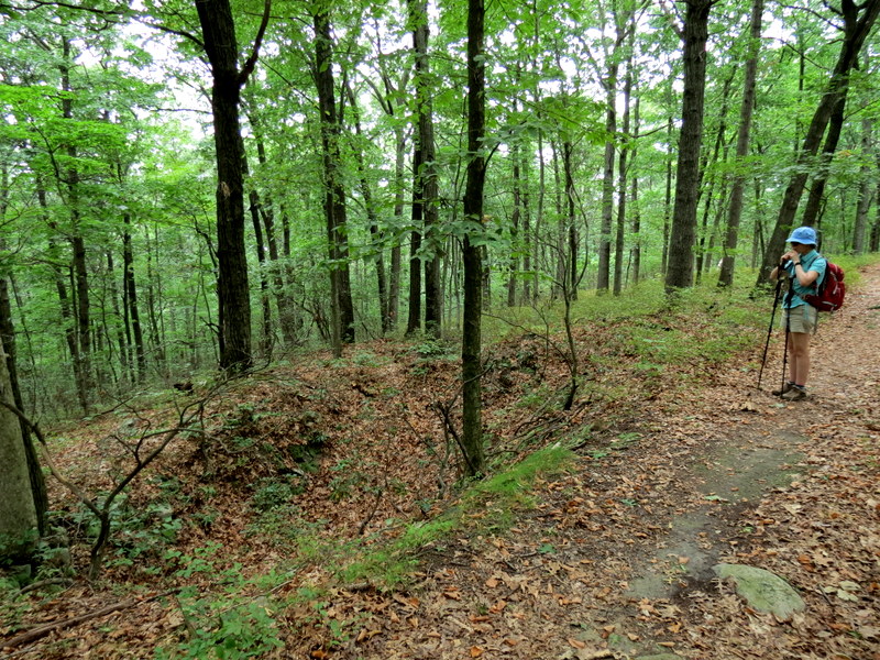
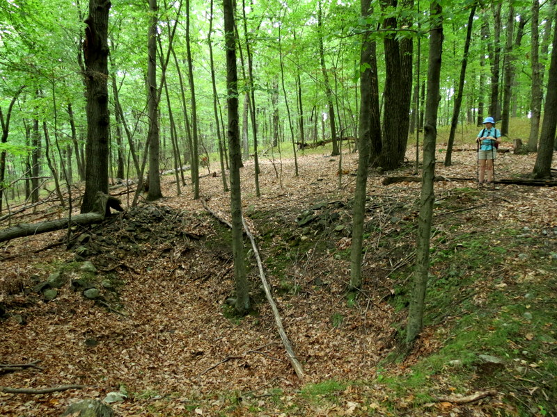
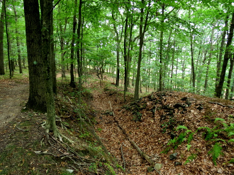
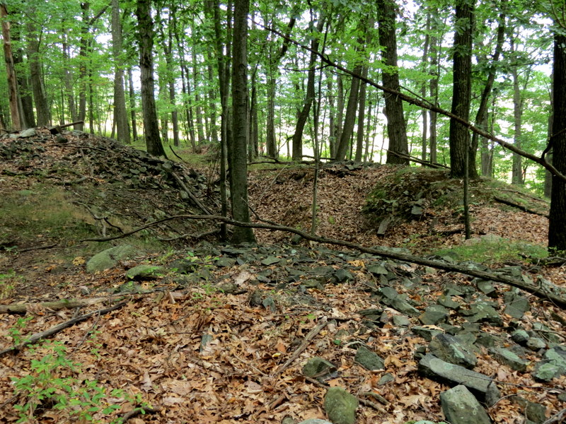
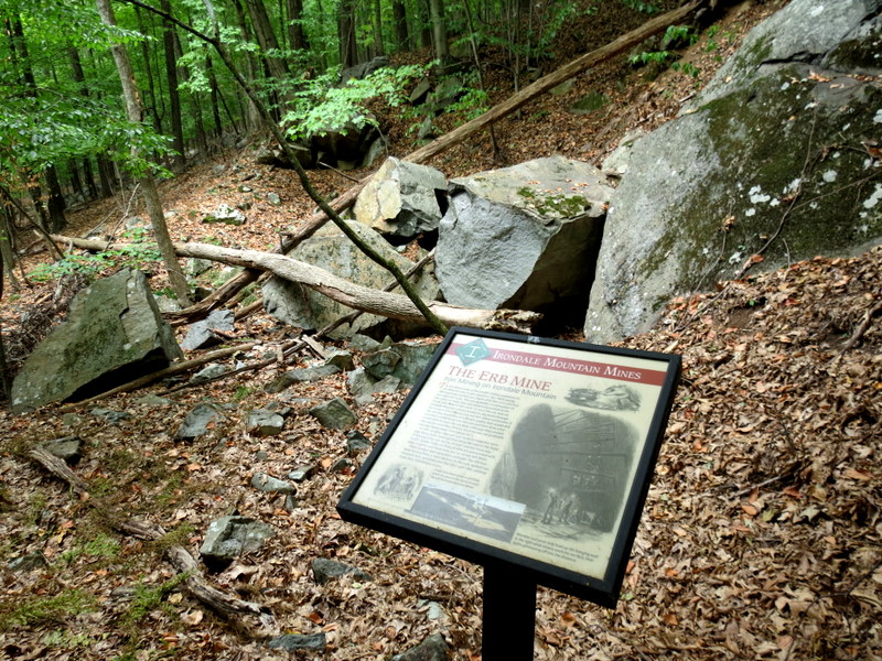
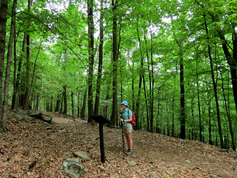
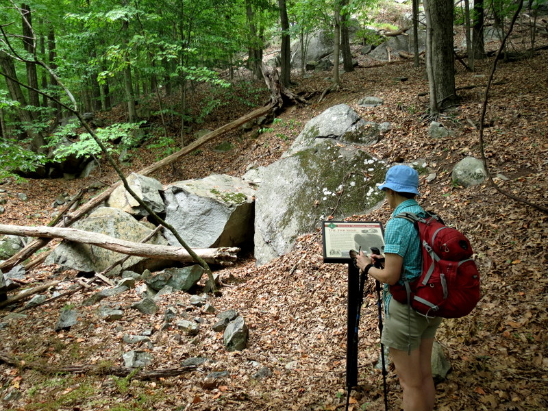
trails on Irondale Mountain, passing many test pits along the way.
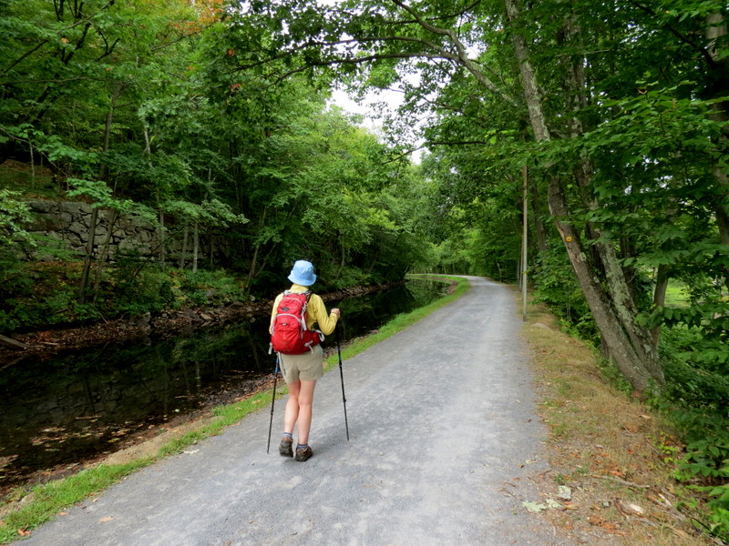
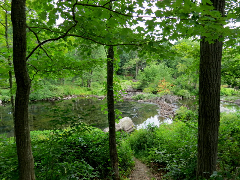
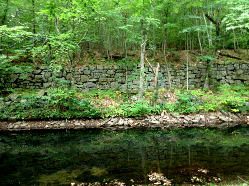
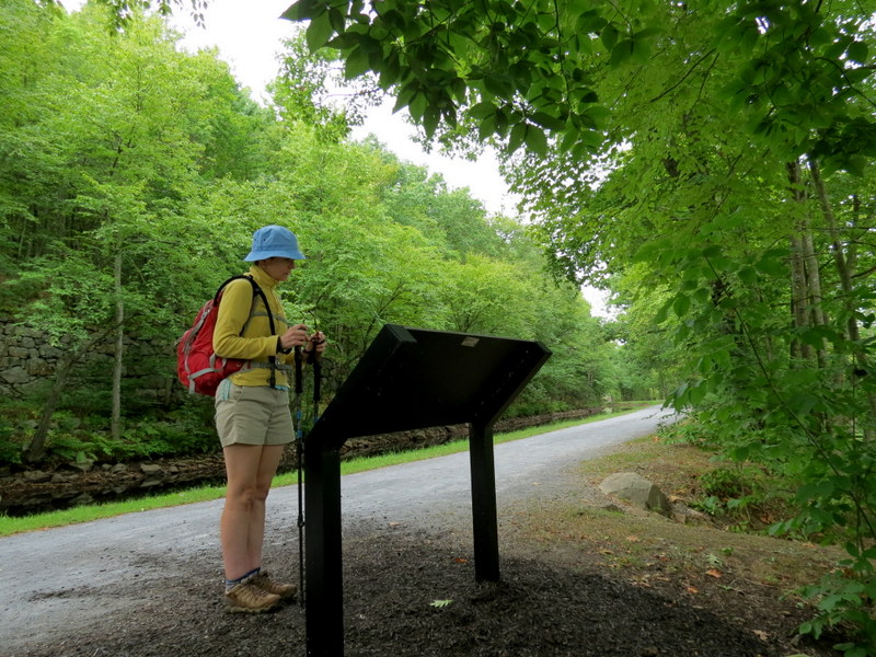
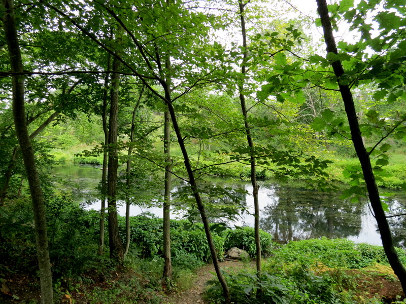
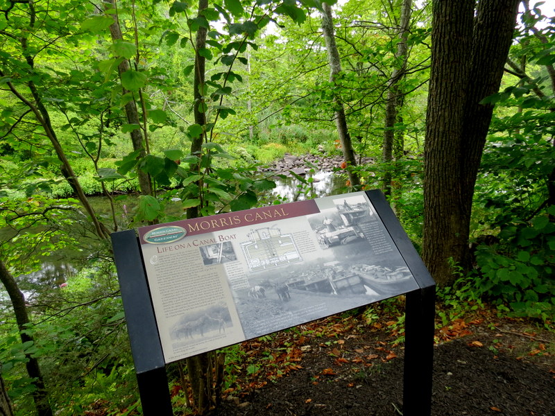
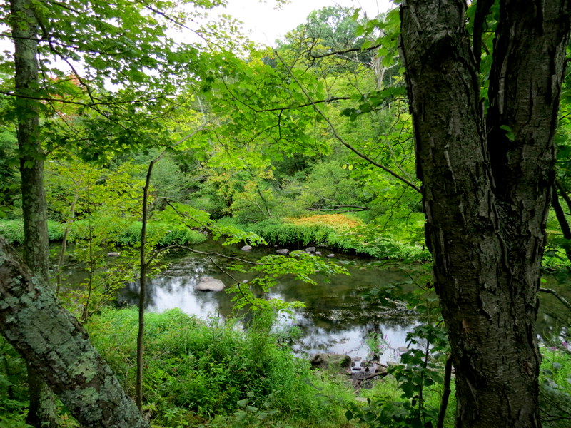
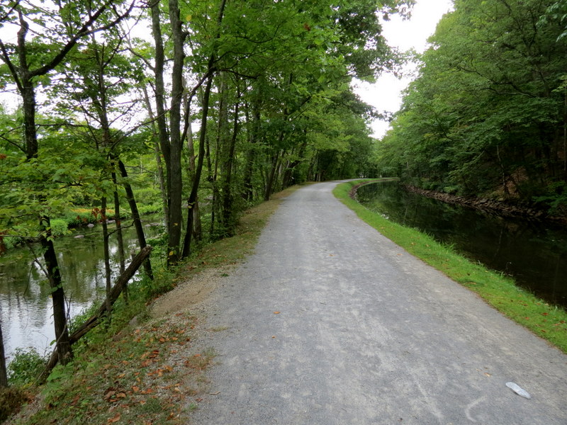
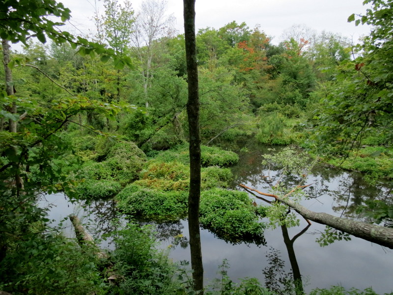
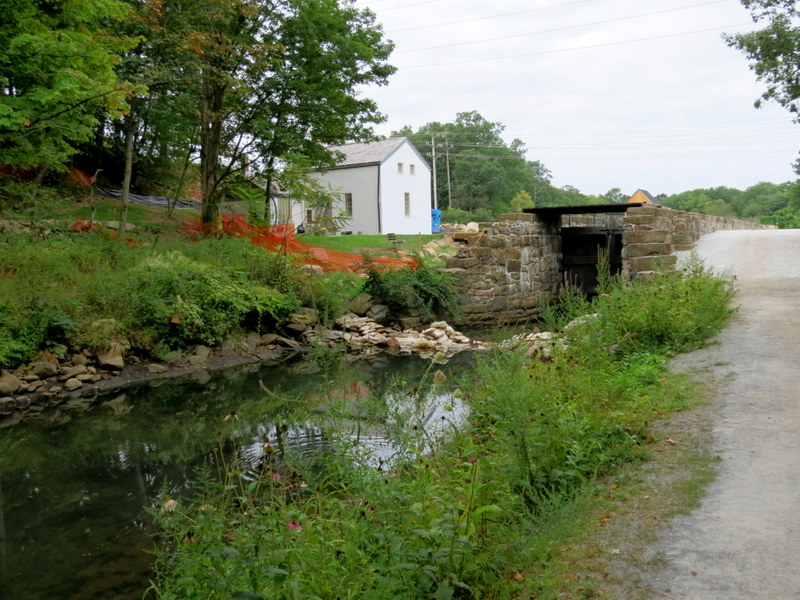
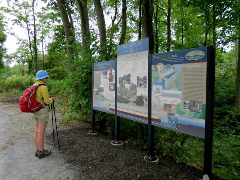
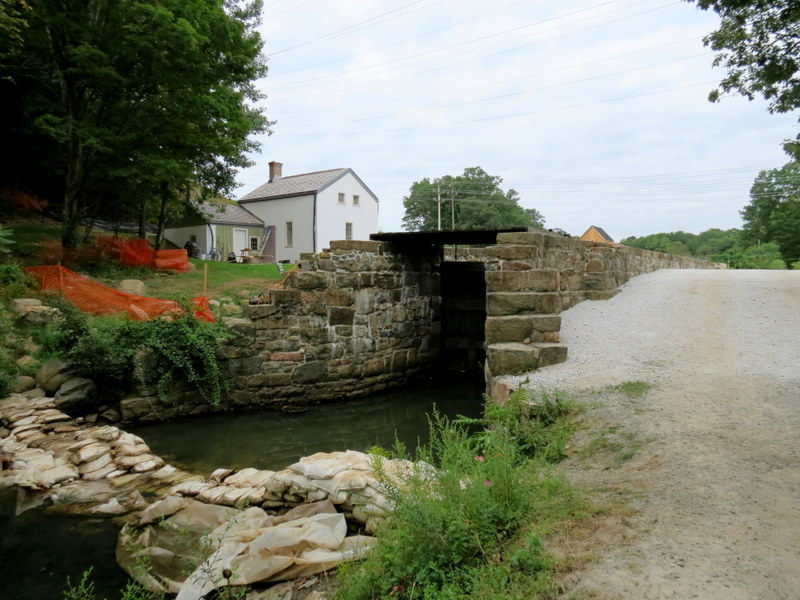
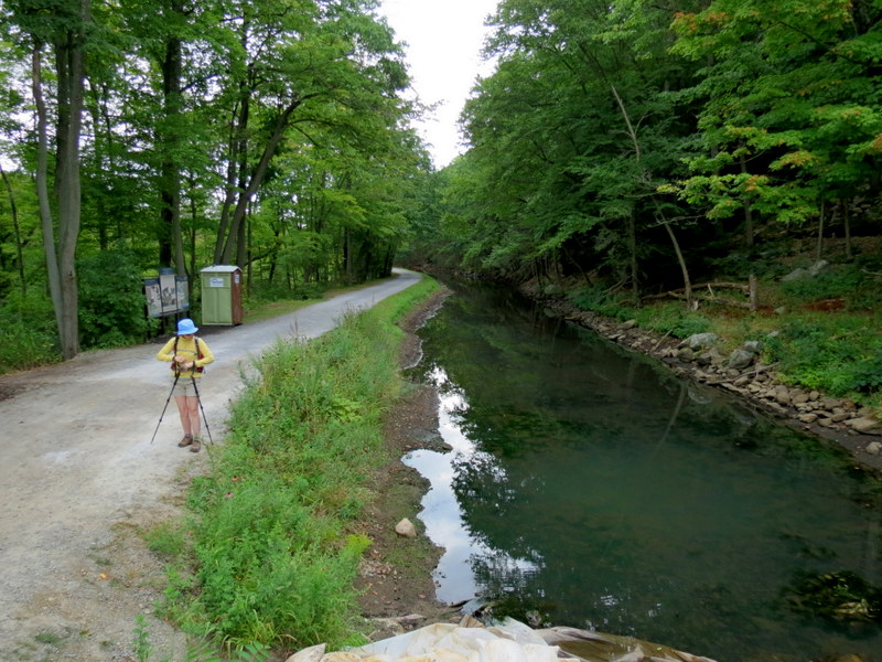
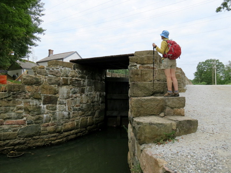
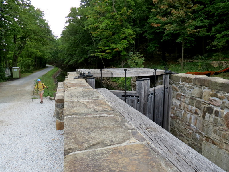
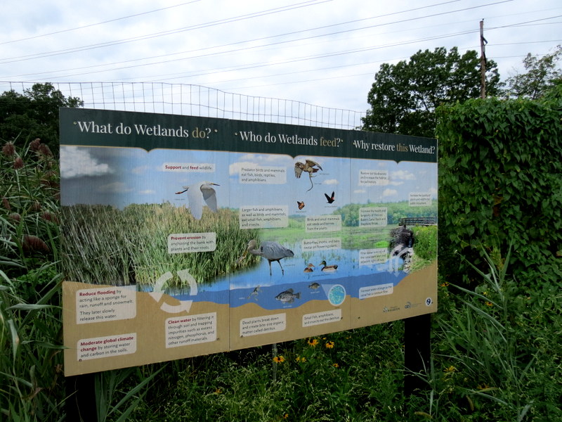
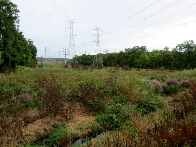
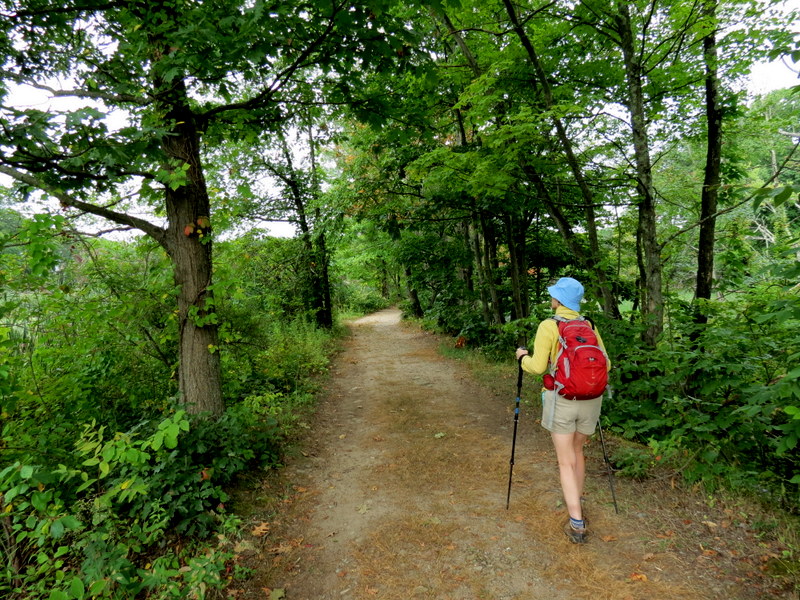
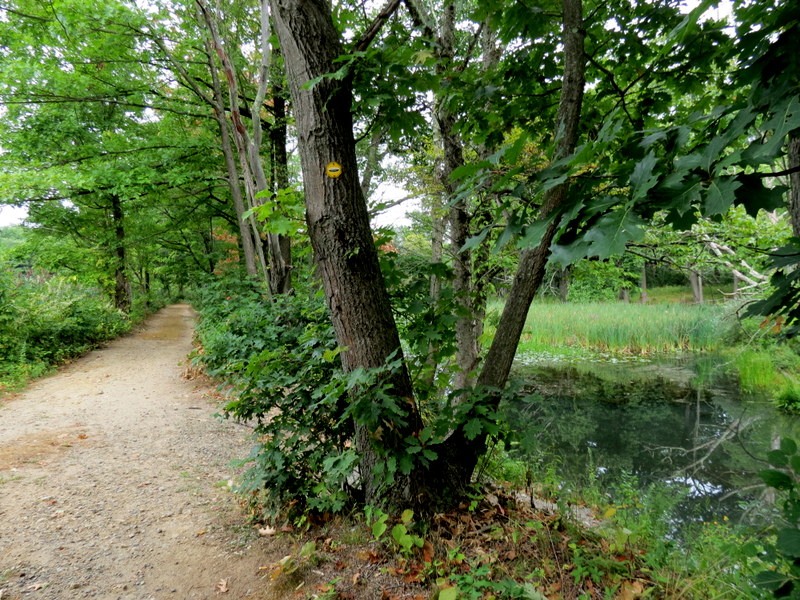
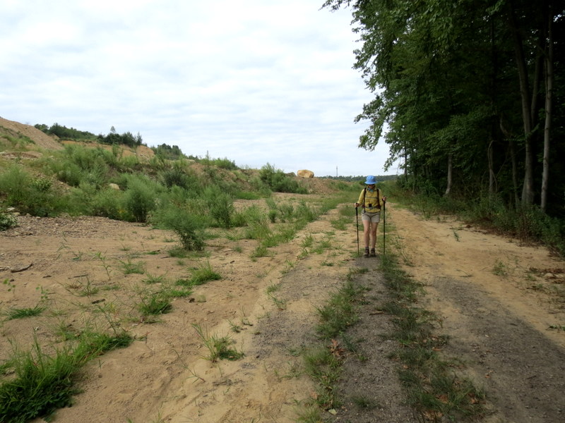
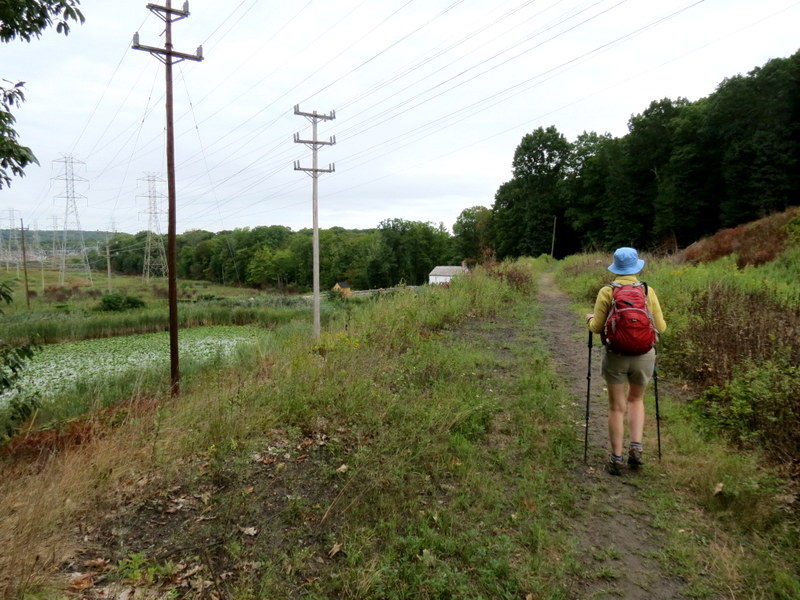
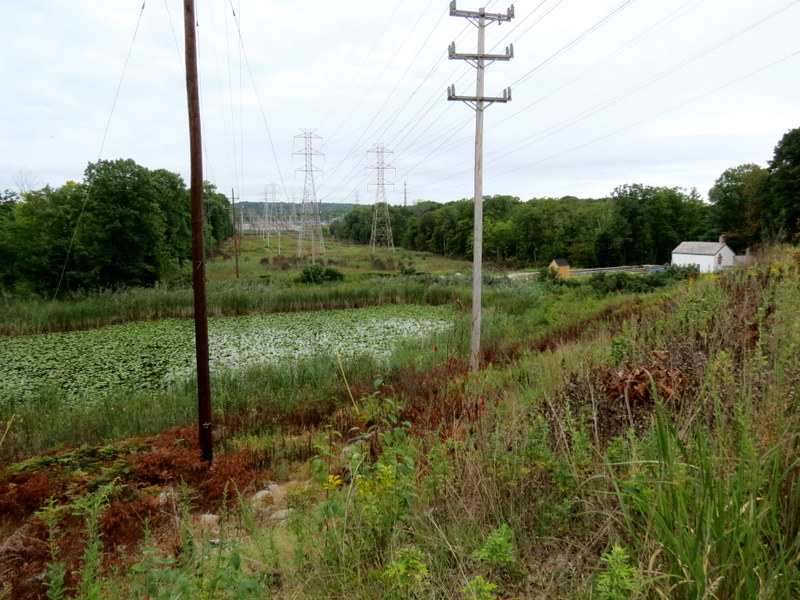
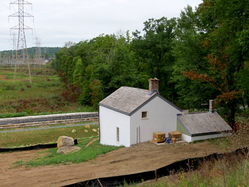
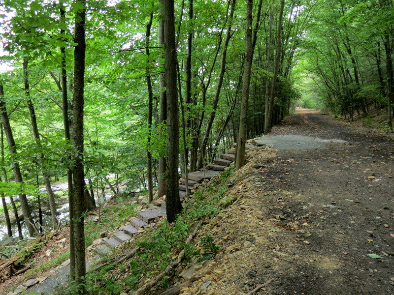
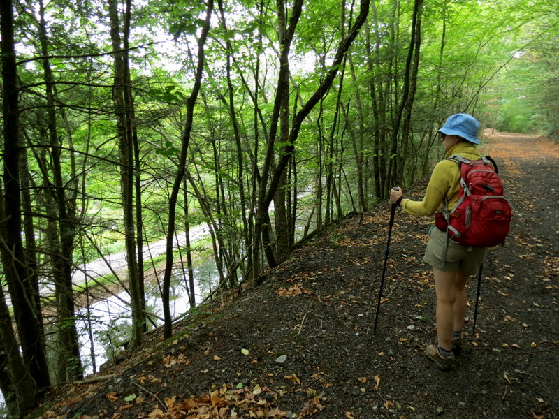
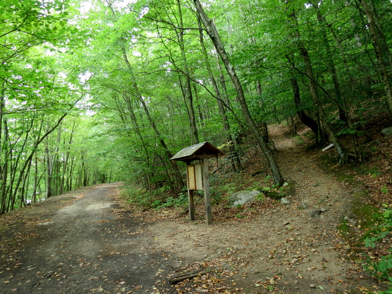
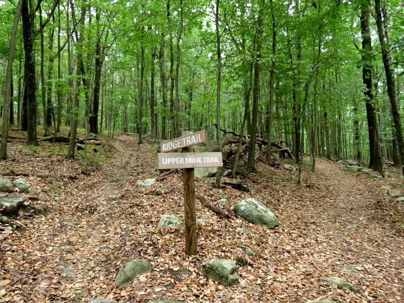
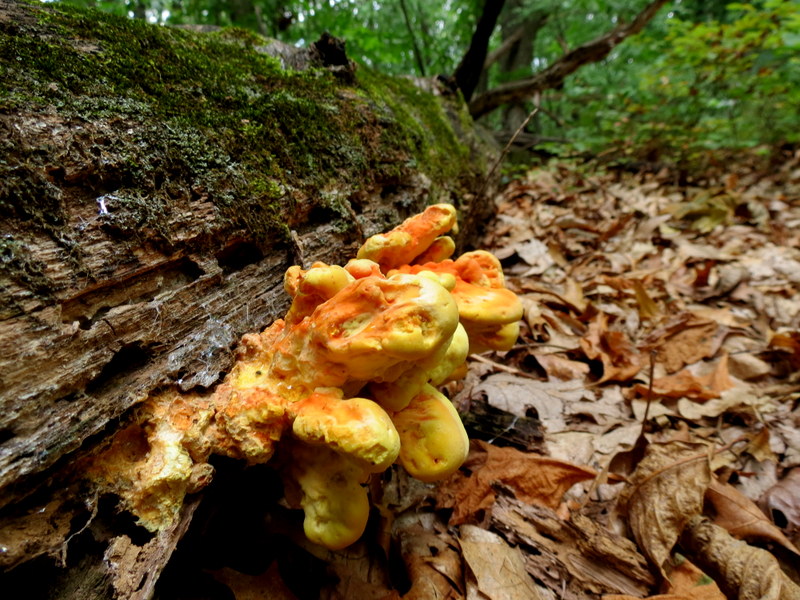
Using Morris County Highlands Trail Map 126 from the New York-New Jersey Trail Conference, we parked in the long gravel lot for Hugh Force Park and headed west along the beautiful towpath for the Morris Canal, passing the restoration of one of the locks. We continued west, climbing to the abandoned rail trail of the Lake Hopatcong Railroad. We turned left on that rail trail heading south, then wrapping east to a higher view of the restored lock from the trail trail. We took the trail east to the beginning of the red trail, the entrance to the trail network on Irondale Mountain. Following the right-hand rule we hiked the red, then green, then yellow, then blue all the way to the small parking lot at the end of the dead end of Birch Street. Retracing out steps we decided to follow a trail which is not on the map (called the Meadow trail according to the sign) southwest to another woods road. This is where the NYNJTC map ends, so we turned back, retracing our steps back to blue, then yellow, then red to the original rail trail which we took east eventually back to the gravel parking lot. I realize that none of this makes sense unless you have the purchased map in front of you. Total distance hiked today was 4.5 miles in two hours and 45 minutes. (Click on the thumbnail to bring up a bigger image in a pop-up window)
|
 |
 |
 |
 |
 |
 |
 |
 |
 |
 |
 |
 |
 |
 |
 |
 |
 |
 |
 |
 |
 |
 |
 |
 |
 |
 |
 |
 |
 |
 |
 |
 |
 |
 |
 |
 |
 |
 |
 |
 |
 |
 |
 |
 |
 |
 |
 |
 |
 |
 |
 |
 |
 |
 |
 |
 |
 |
 |
 |
 |

|
|
Photographs and content copyright © Dan Balogh Web design by Dan Balogh |