 |
|
We hiked part of the northern section of this natural area less than three weeks ago. Today we returned to
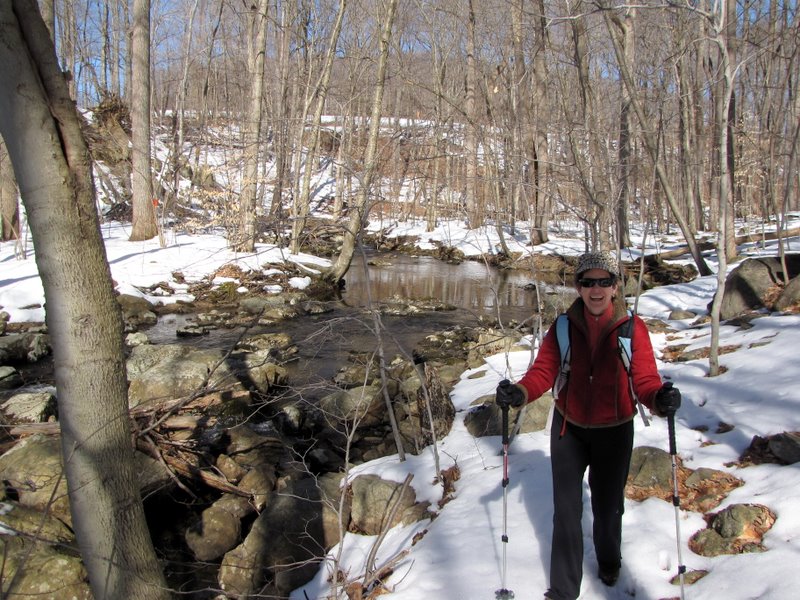
hike in the southern section following the figure-8 highlighted in blue here. This included a pretty tricky
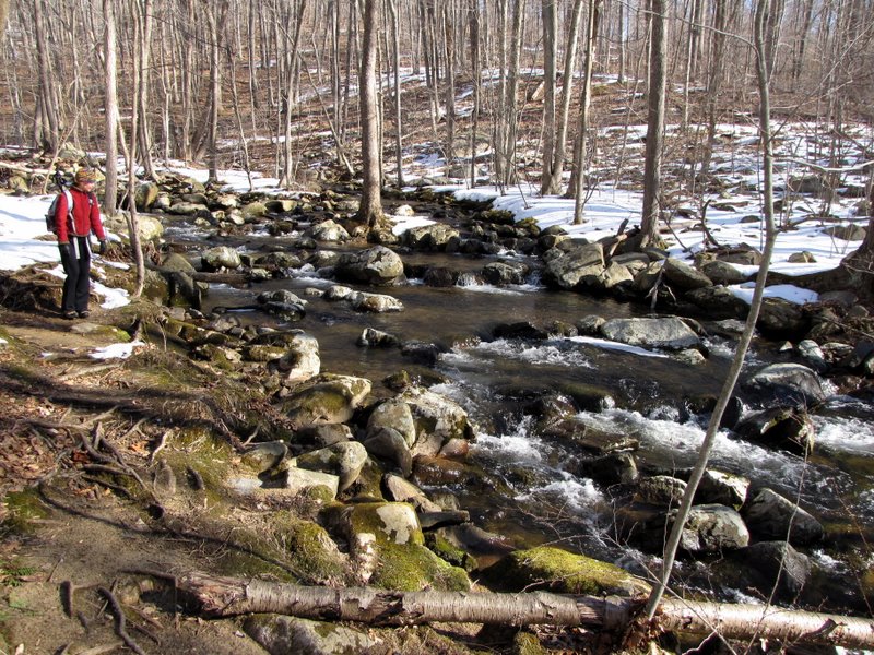
crossing of India Brook (labeled "Stepping Stones" on the maps), which we had to repeat some time later on the return (but at that point we knew what rocks were the best). Much
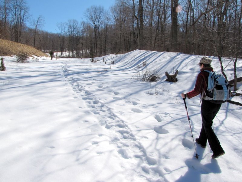
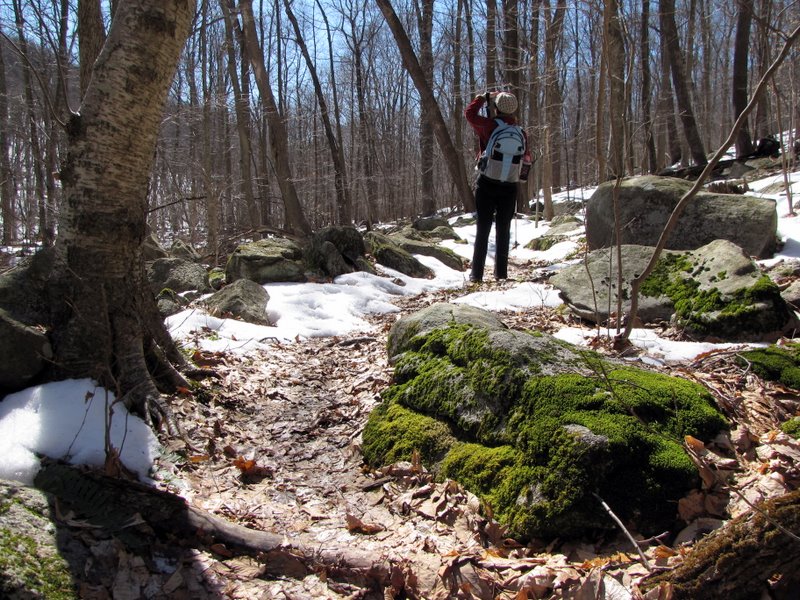
of the snow was melted and the remaining snow was nearly frozen solid, allowing pretty easy walking in just hiking boots.
Total hiked today was 3.4 miles in about 2.5 hours.
|
 Trail head on Mountainside Avenue |
 |
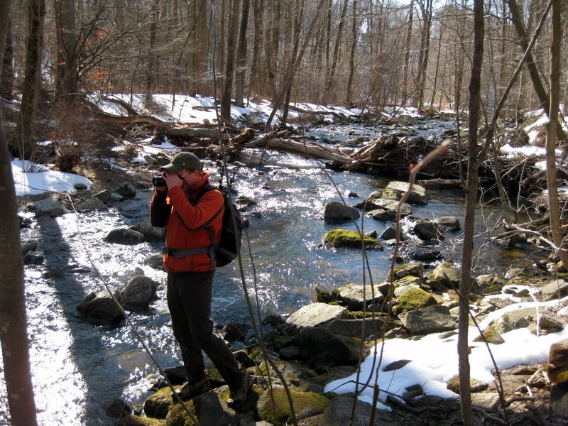
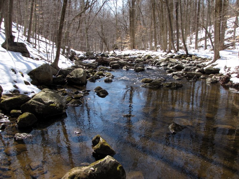
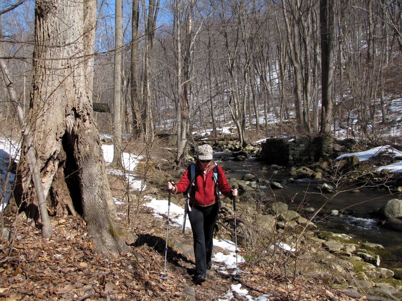
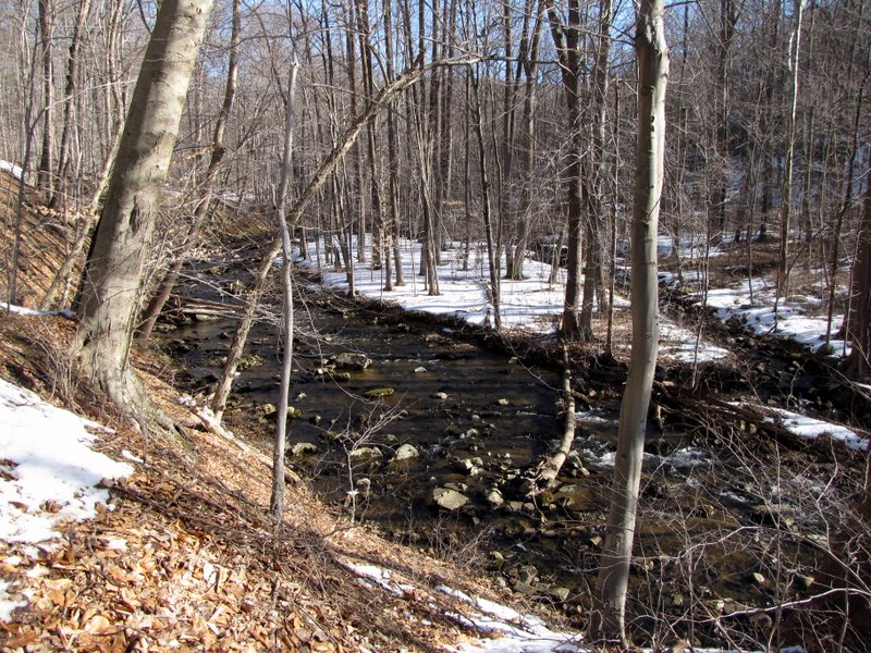 White trail parallels India Brook |
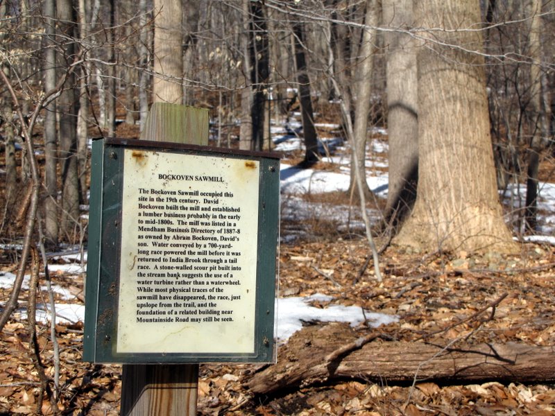 Sign for Bockoven Sawmill |
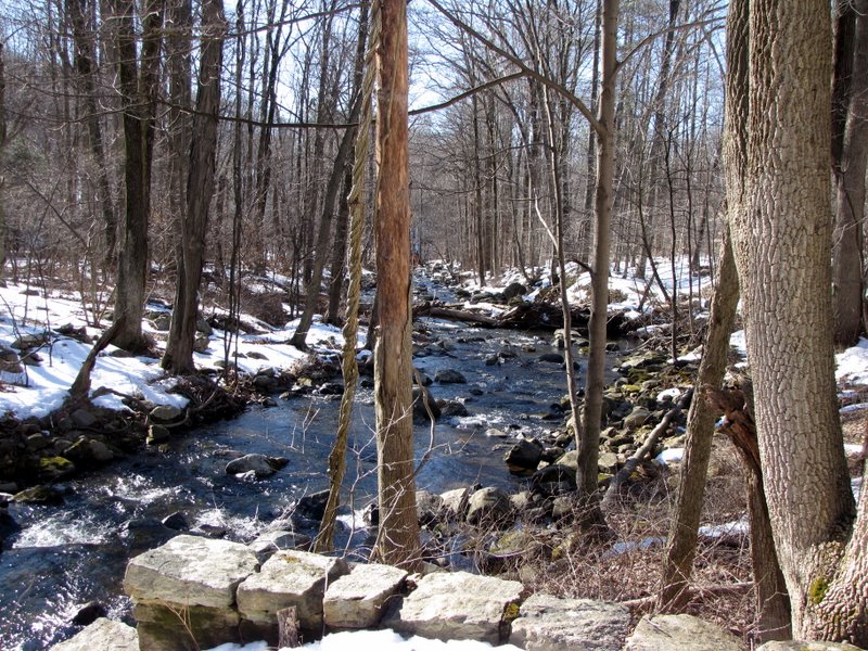
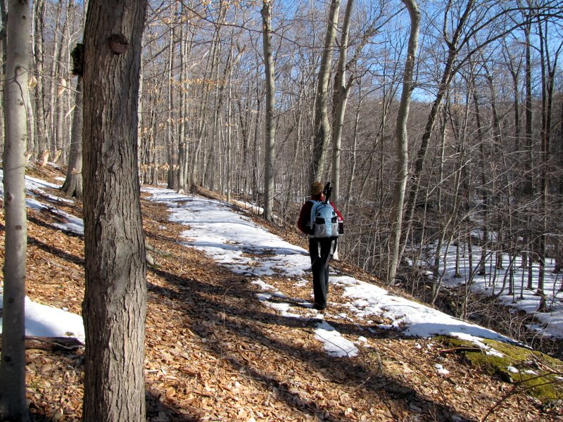 Above the brook |
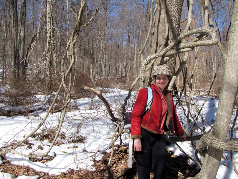
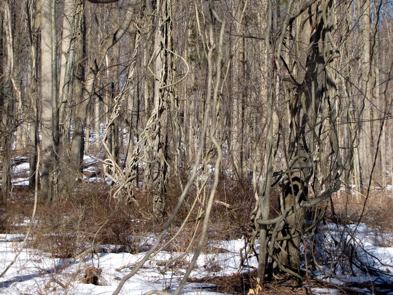 Tangled trees |
 [Photo by Laura] |
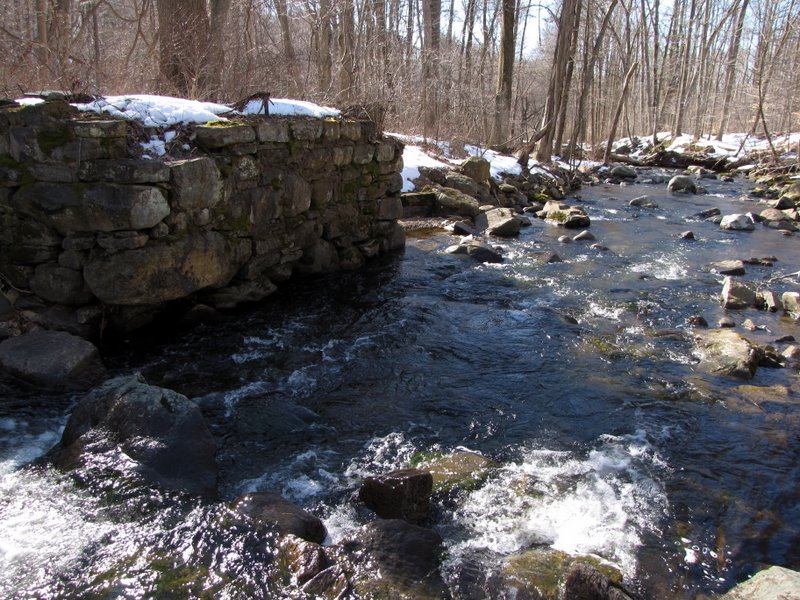
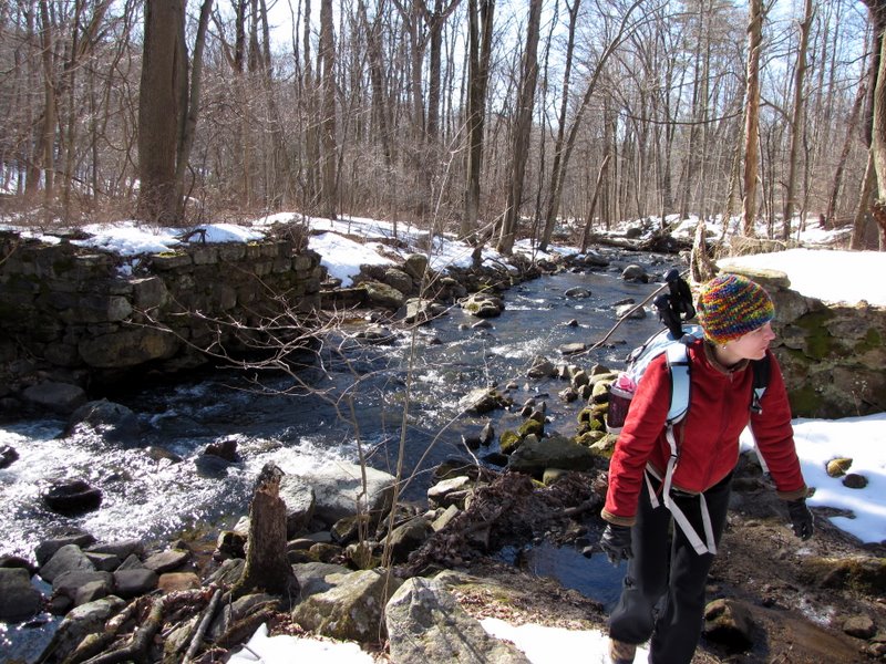
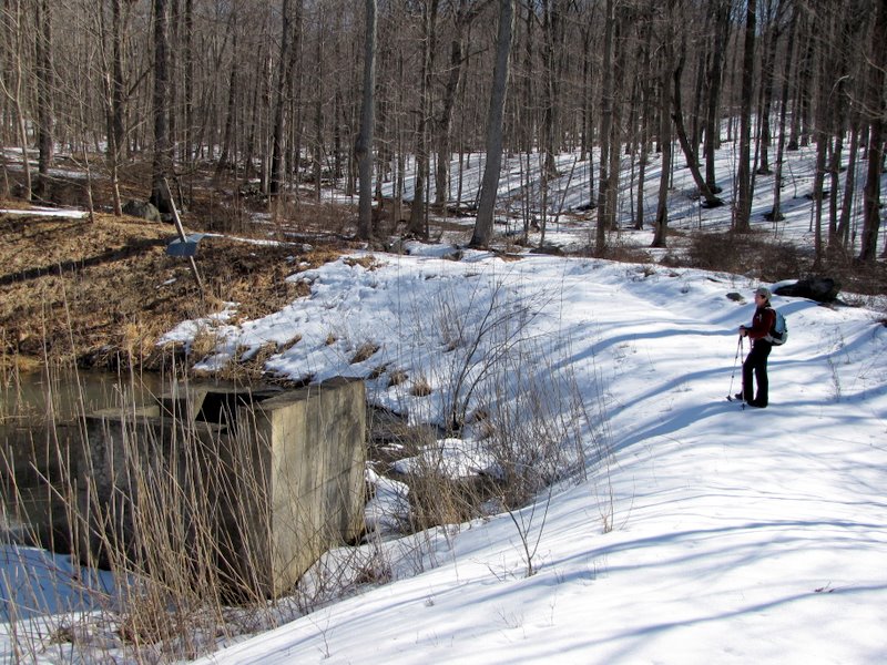
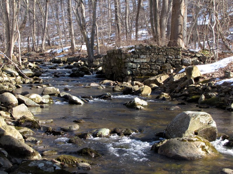 Abandoned bridge abutment |
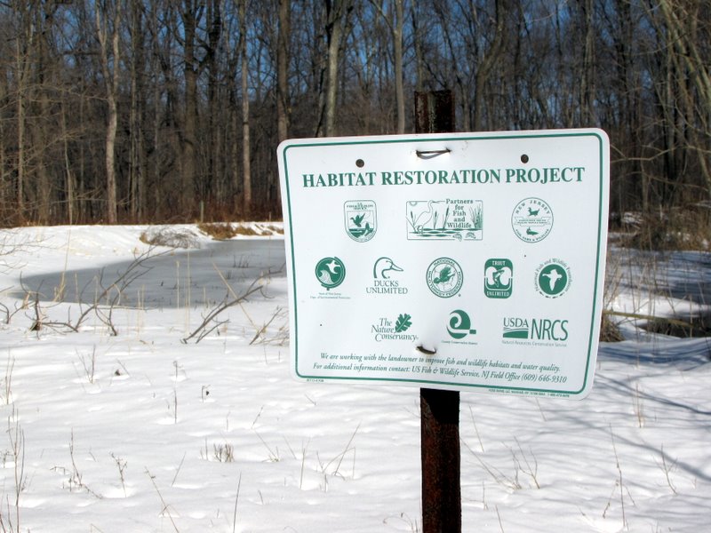
 Explanatory sign |
 |
 Bridge was abandoned in 1910 |
 |
 Shovel and gear wheel across brook |
 View downstream |
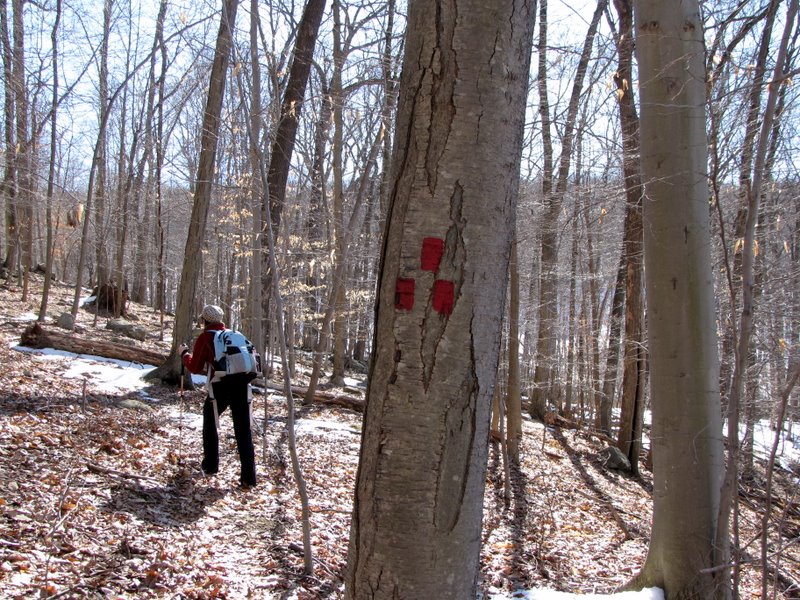
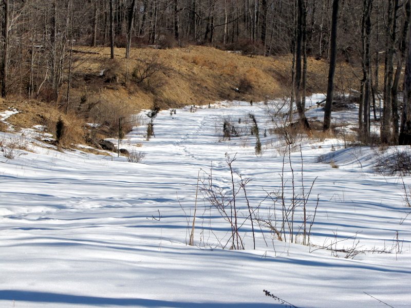
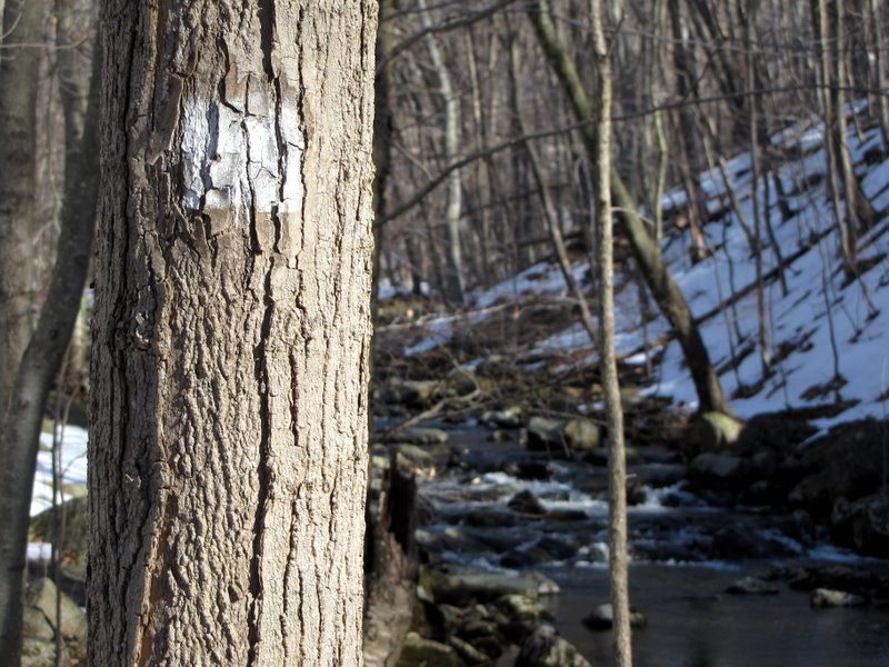 White trail |
 Now at stream level |
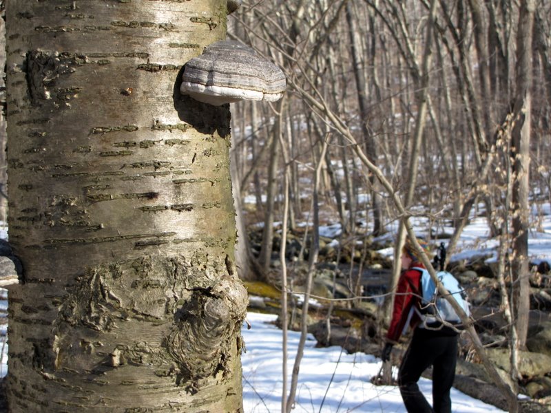 Mushroom |
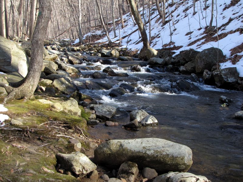
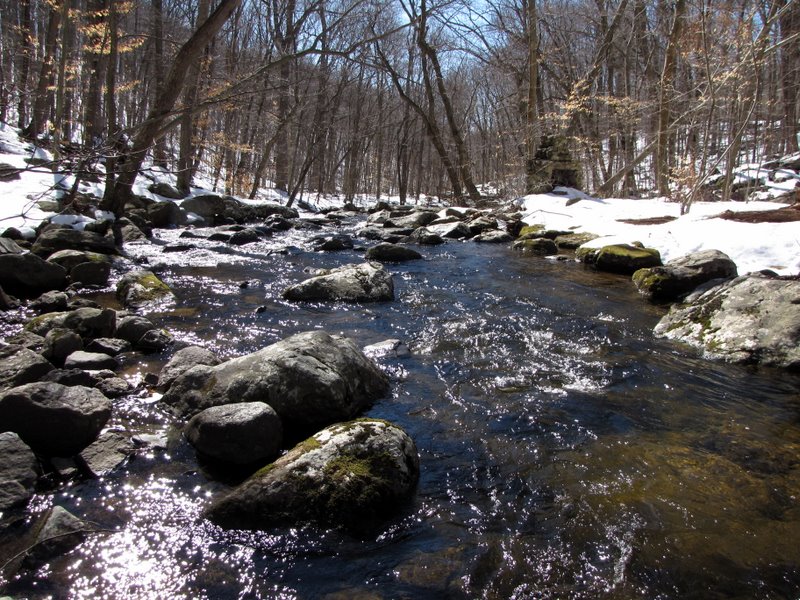
 Downstream |
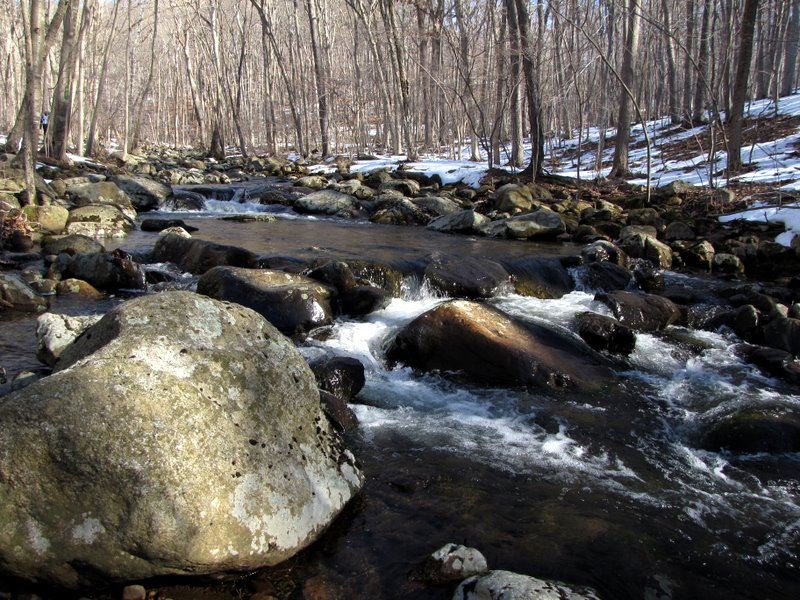 Upstream |
 |
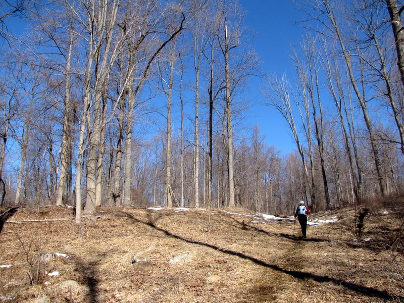
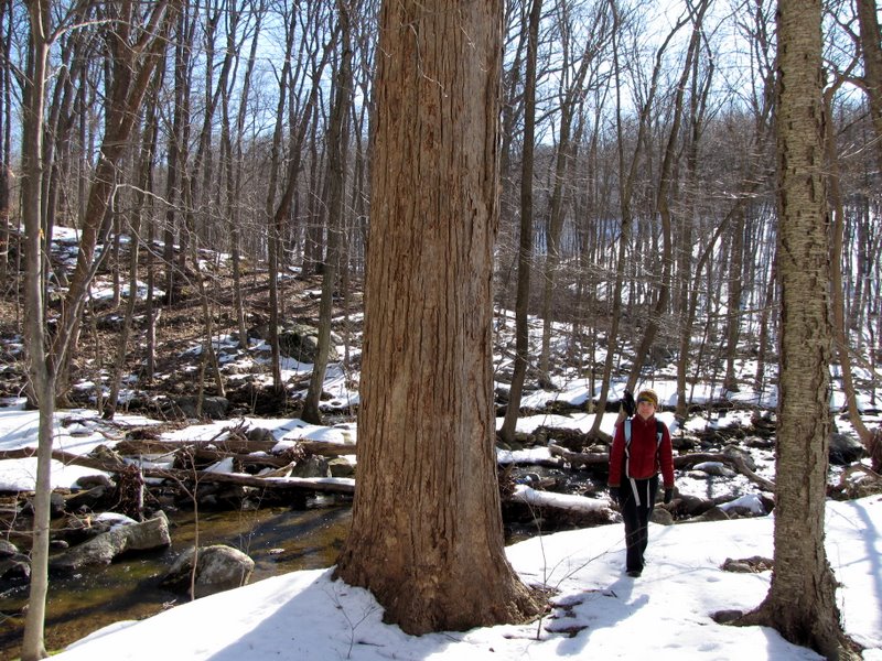 Old growth |
 Young growth |
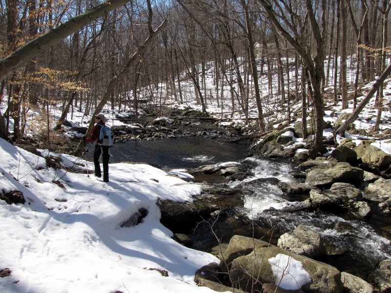
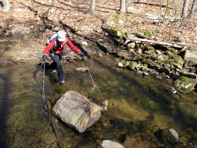
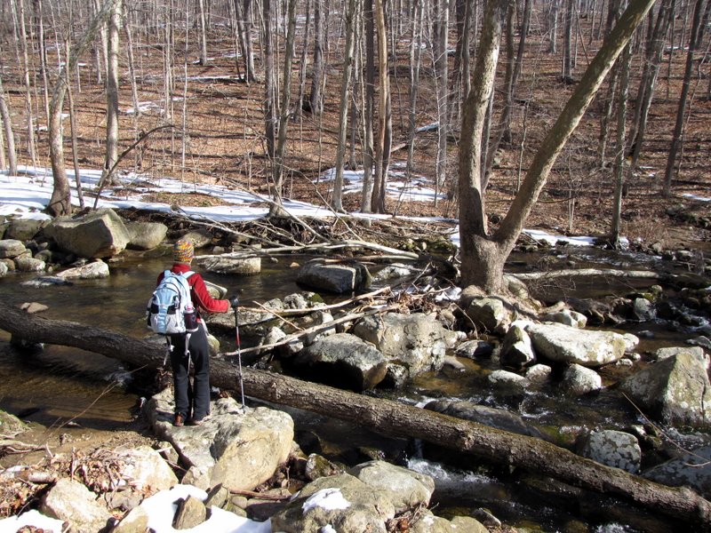 Assessing where to cross |
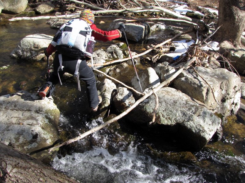 Go for it! |
 OK, now what? |
 Almost there |
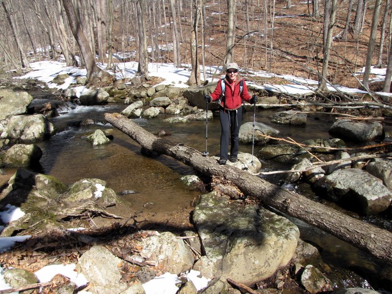
 Climbing on Red trail |
 Wood Duck Pond |
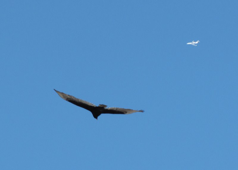
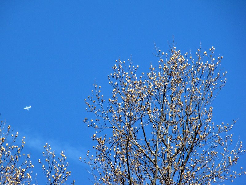 Blooming trees (and jet) |
 At the pond |
 Bridhouse and bridge |
 Eastern end of pond |
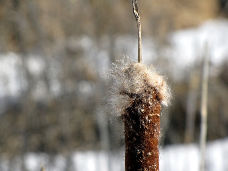 Cat tail |
 View of pond looking west |
 Climbing |
 Woodchip trail looking east |
 Heading west |
 |
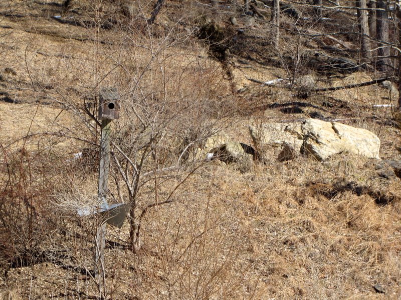
 Birdhouses abound |
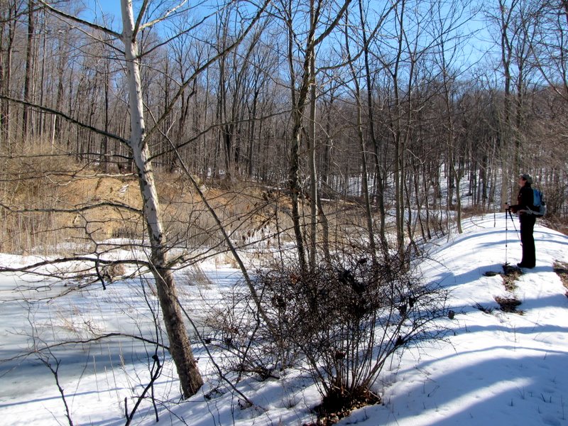
 Phragmites |
 Woodchip trail north |
 Two birds |
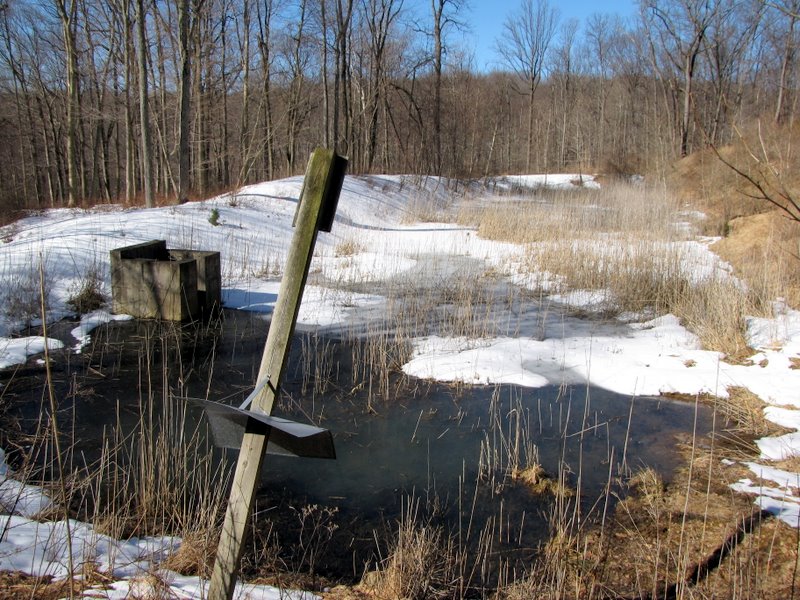
 Sign at Frog Pond |
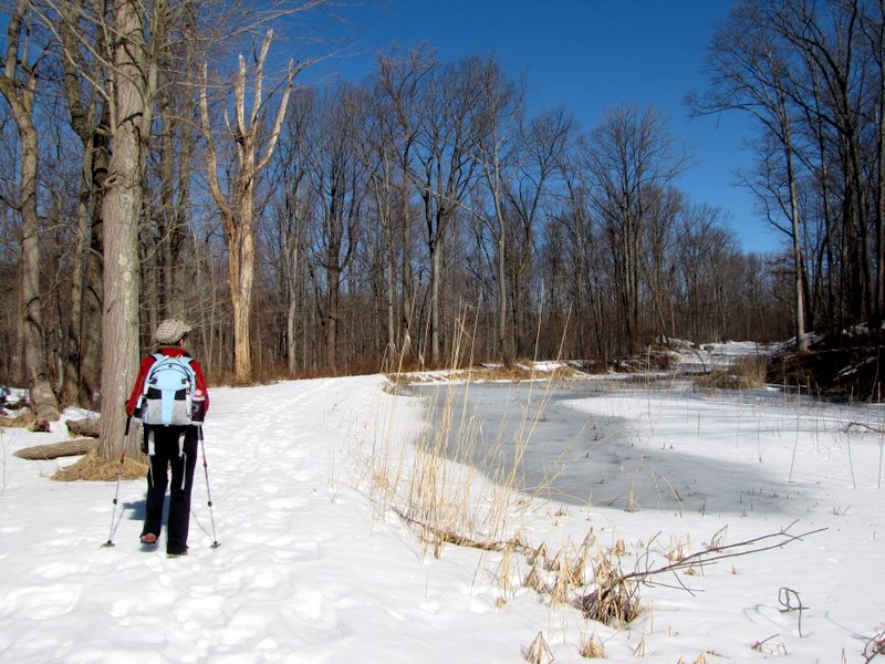 Frozen Frog Pond |
 India Brook looking south |
 |
 Furnace is visible on right |
 Above the waterfall |
 Buttermilk Falls |
 Buttermilk Falls |
 [Photo by Laura] |
 Buttermilk Falls |
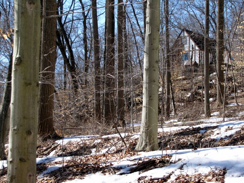
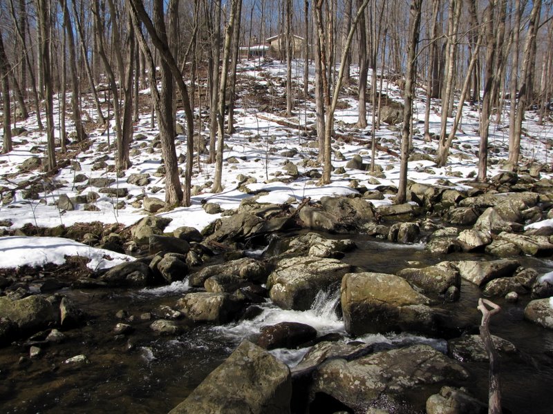 House on hill |
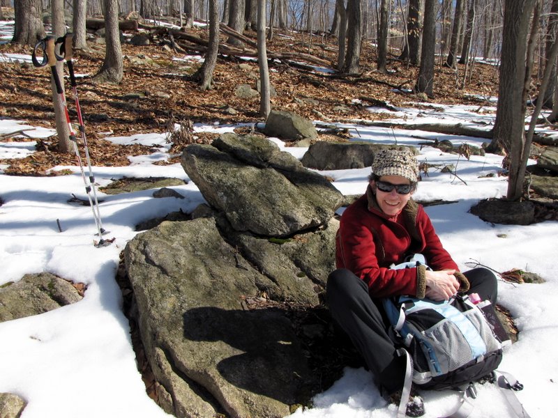 Snack break! |
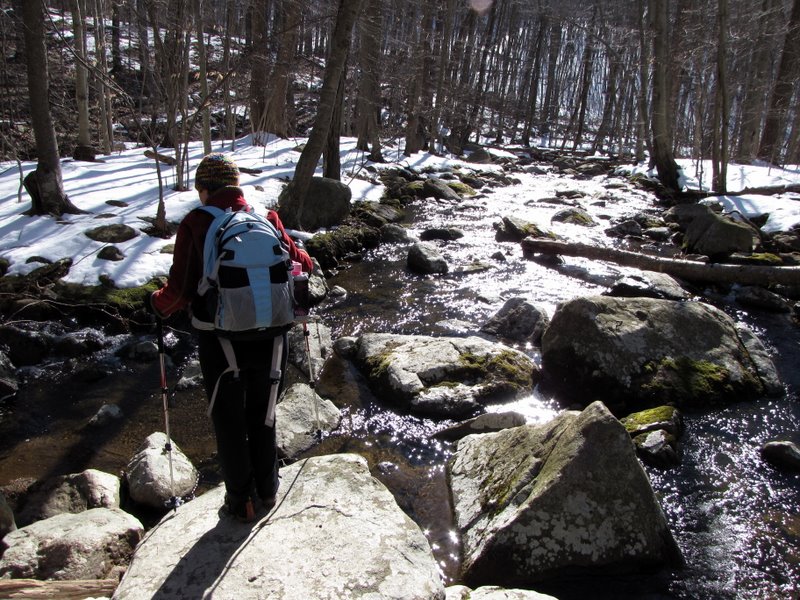
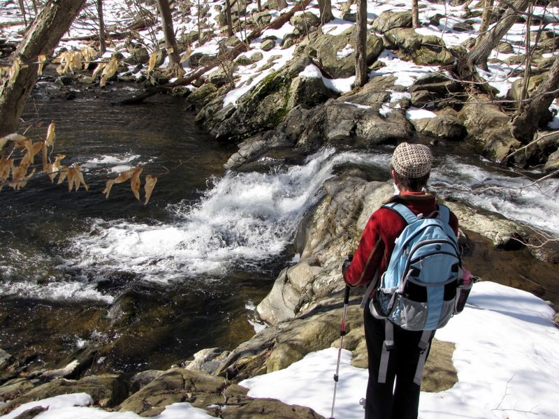
 Crossing the brook again |
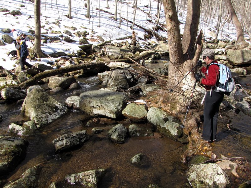 |
 Easier this time |
 |
 On the Yellow trail |
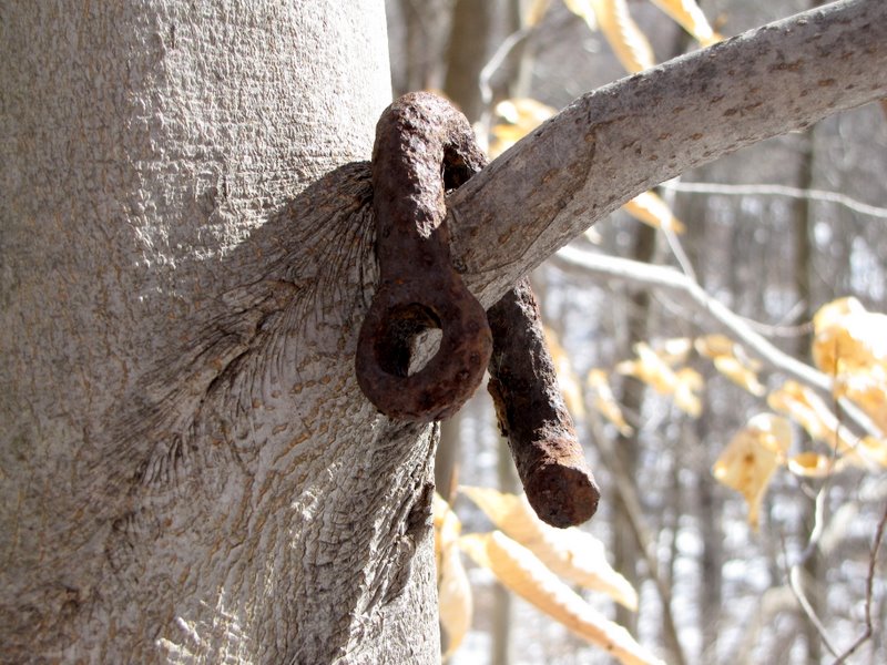 Old hook |
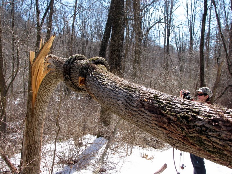 Fresh snap |
 [Photo by Laura] |
 Look at that tangle |
 Heading downstream |
 |
 |
 Private residence east |
 Private residence west |

|
|
Photographs and content copyright © Dan Balogh Web design by Dan Balogh |