 |
|
Today we returned to the Route 78 corridor to hit another Hunterdon County preserve that's been on my list for some time. The Thomas F. Breden Preserve is probably
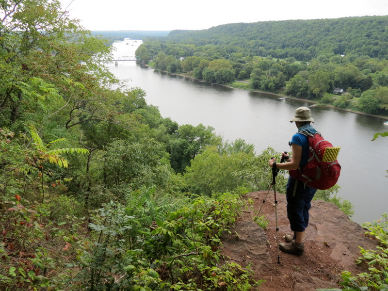
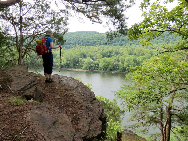
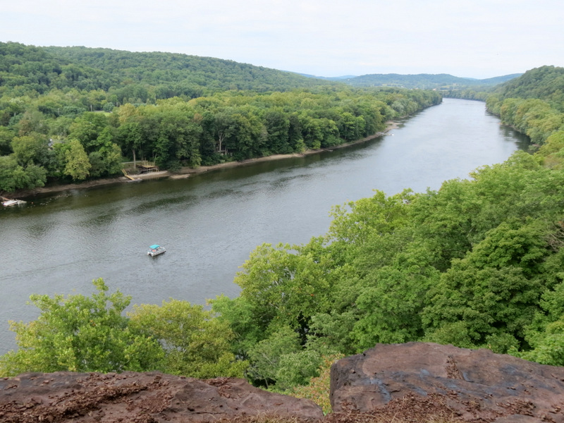
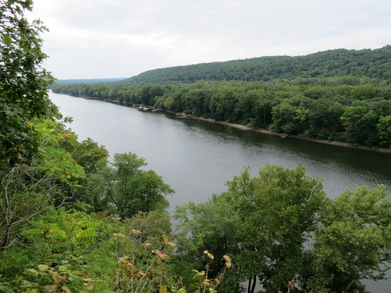
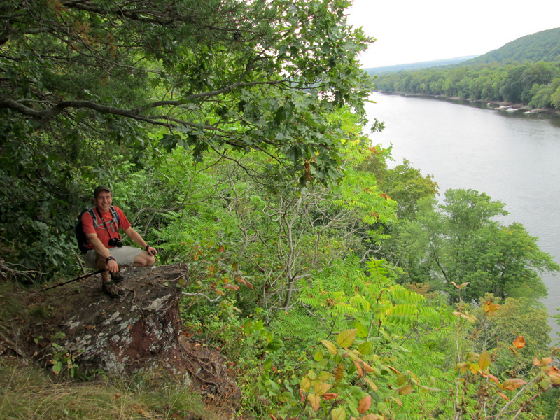
best known for its amazing views over the Delaware River in the area refered to as the Milford Bluffs. And the views are spectacular.
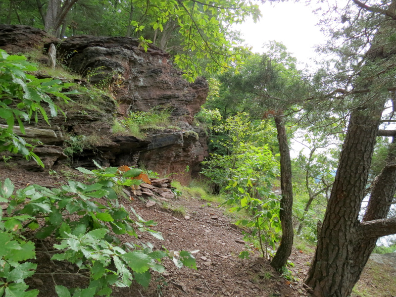
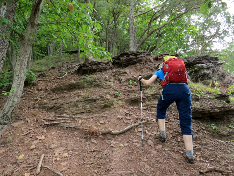
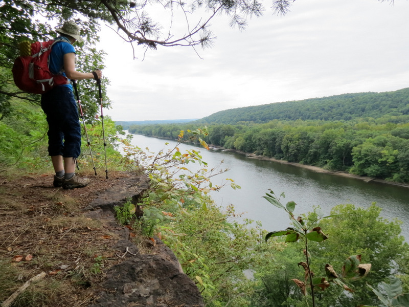
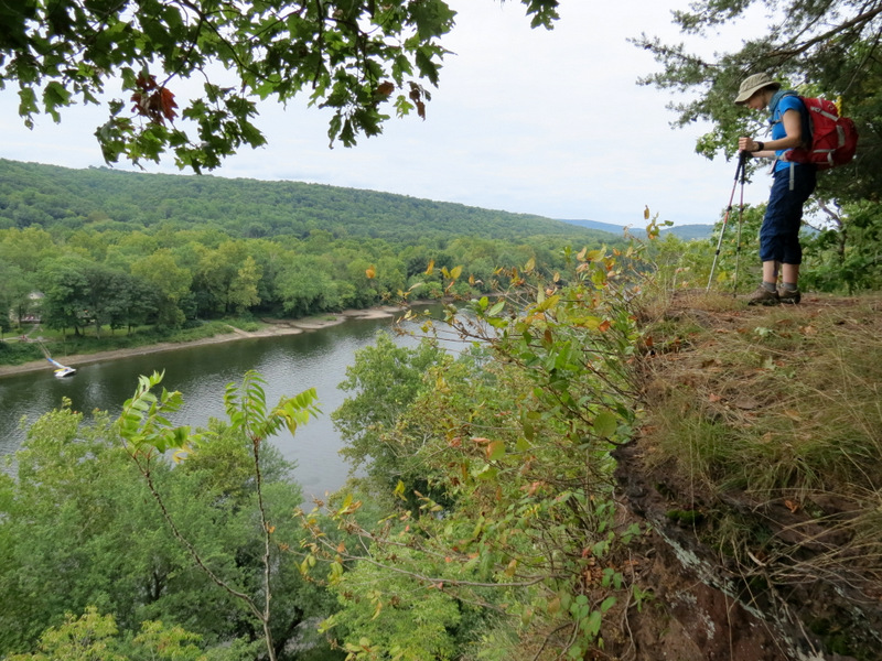
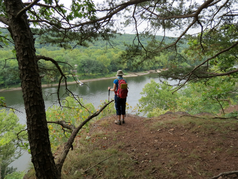
Following the map in this brochure, we parked at the lot at the end of the dirt road off of Milford Warren Glen Road and headed into the woods following a path too convoluated to explain here. Suffice it to say we covered every blazed trail, every unblazed trail (indicated on the map) as well as spurs and trails not indicated on the map. There is plenty of hiking to do here and at least three spurs to spectacular views over the Delaware River, none of which are mentioned on the official map, probably because at least one of them is a bit tricky to get to (the one half-way along the cliff). With a slippery crumbling slate path descending quite steeply to the cliff, we had to be very careful getting to the lookout. I would not advise doing this in the rain! Total distance hiked was 4 miles in 3 hours. For those interested, here is our track. You can zoom in after clicking on "Open in Google Maps" and then selecting Satellite view in the upper right.
|
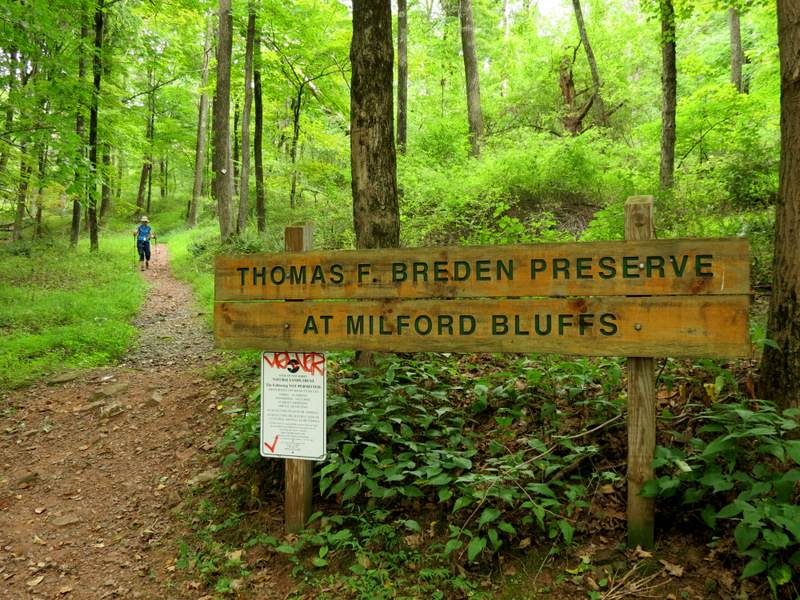
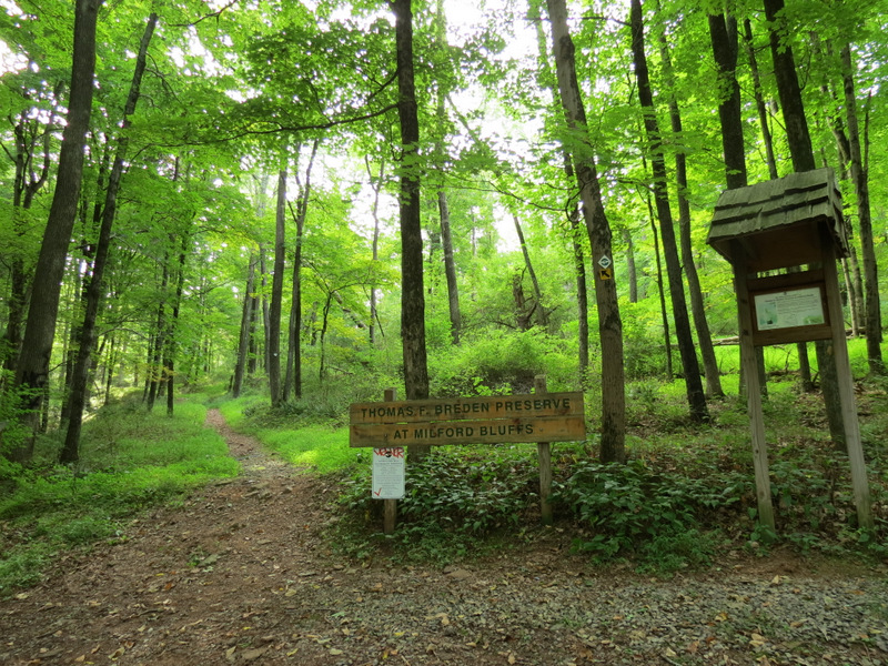 Inviting trail head |
 Room for a few cars |
 Slight climb... |
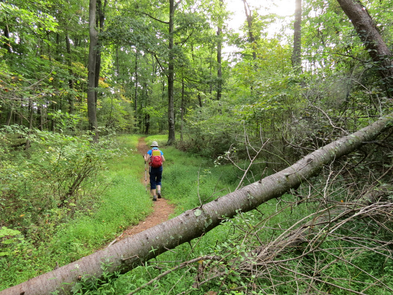 ...from the start |
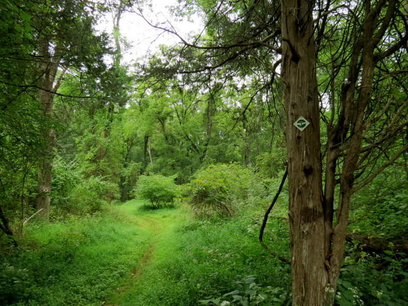
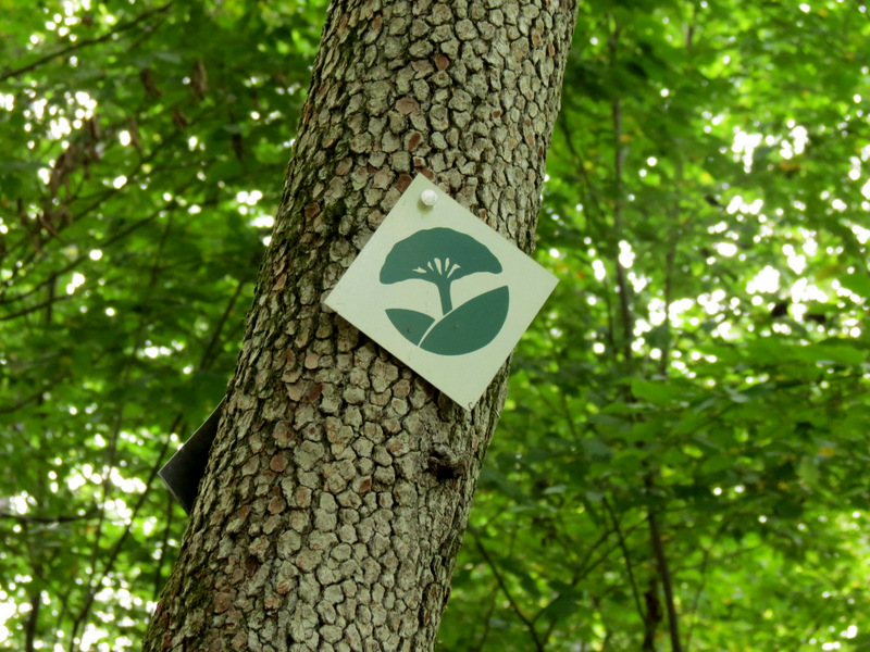 The preserve blaze |
 Gray Catbird |
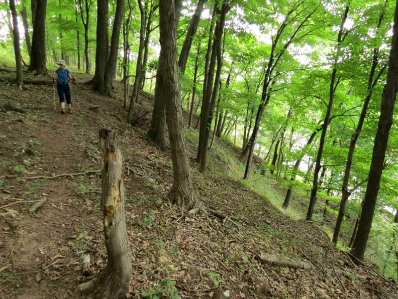
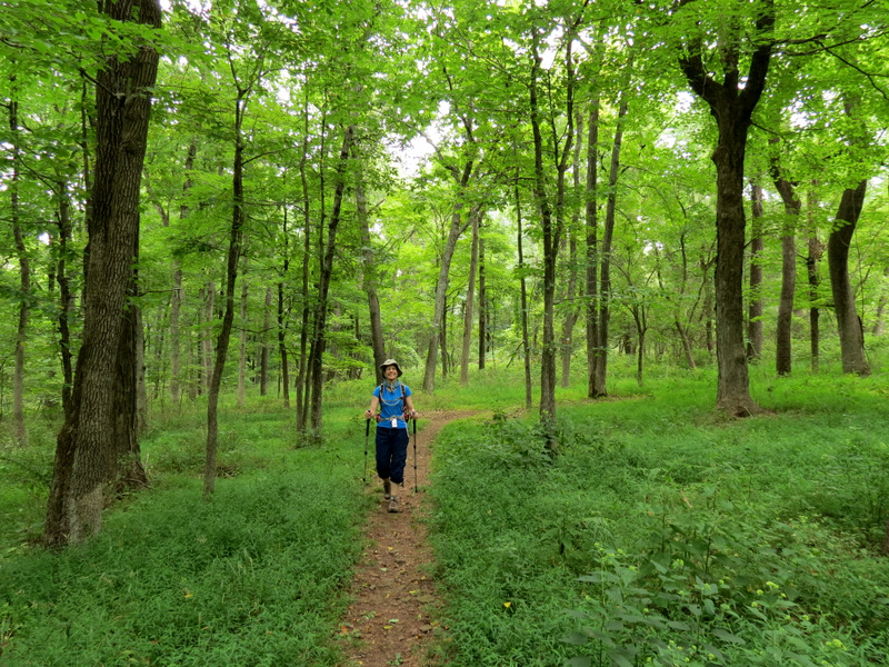
 Gorgeous path |
 Molting sparrow? |
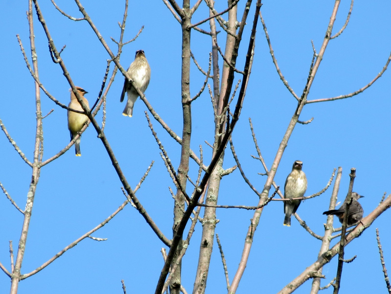 3 Cedar Waxwings, 1 Gray Catbird |
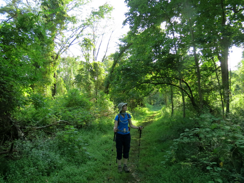 |
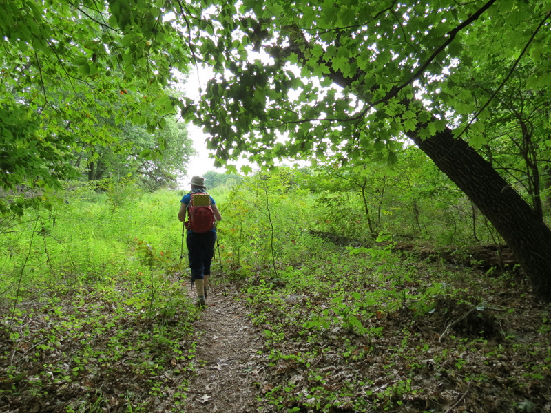
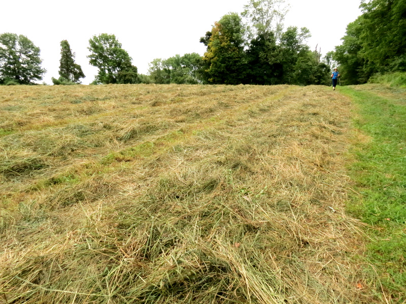
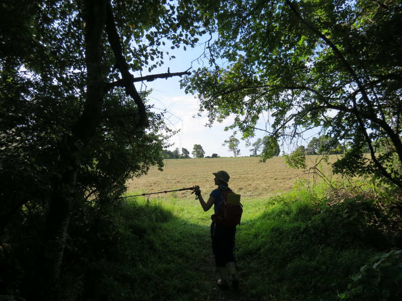 From forest... |
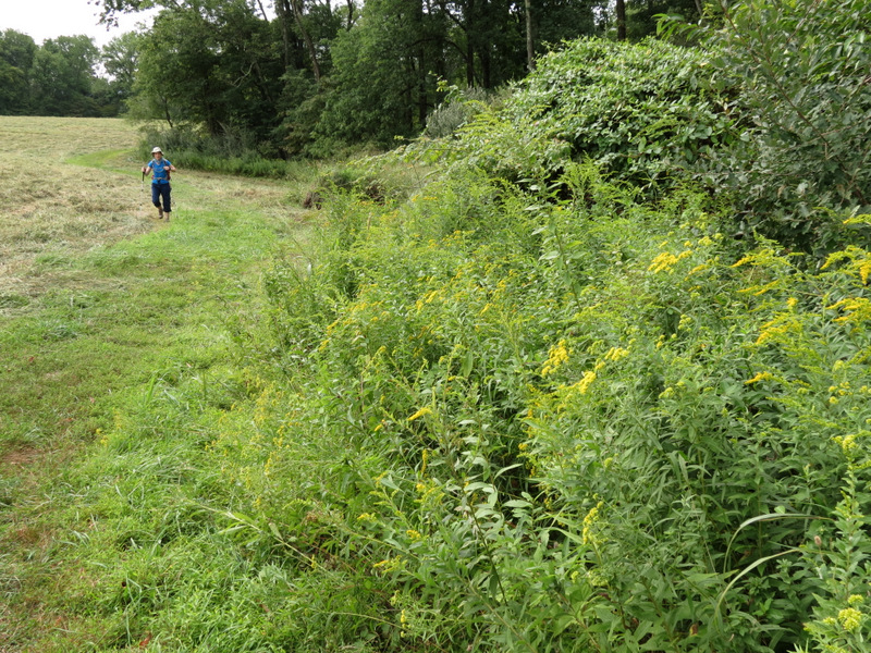
 ...to farm field |
 |
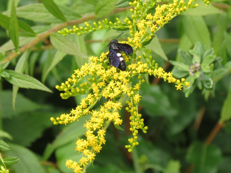
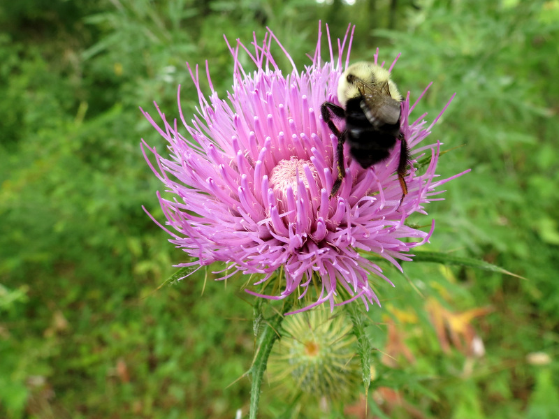 Bee having breakfast |
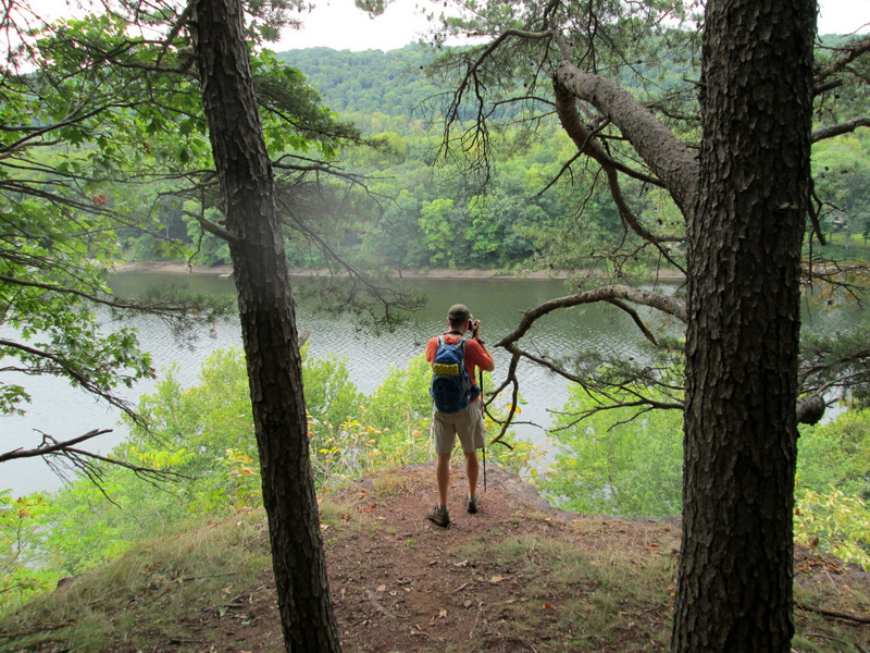
 Trail to the first lookout |
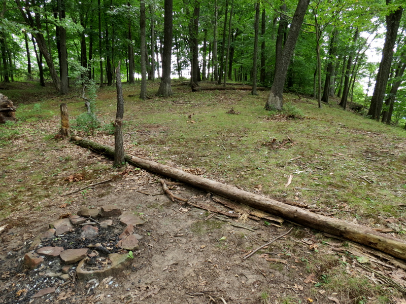
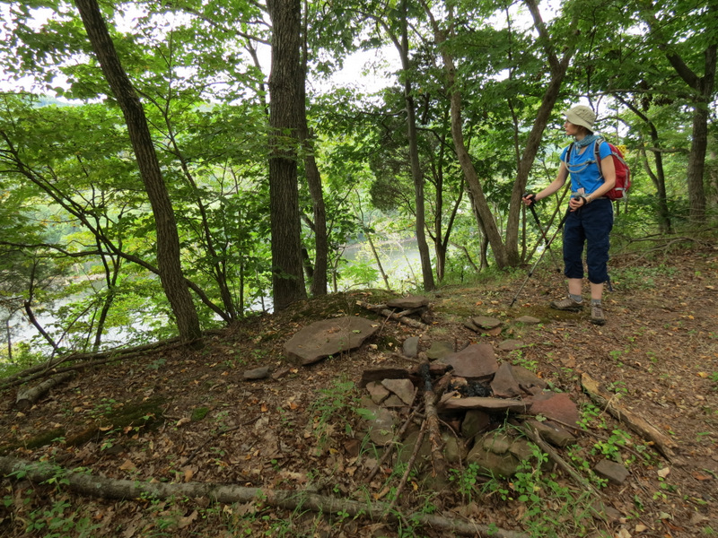 Old fire ring |
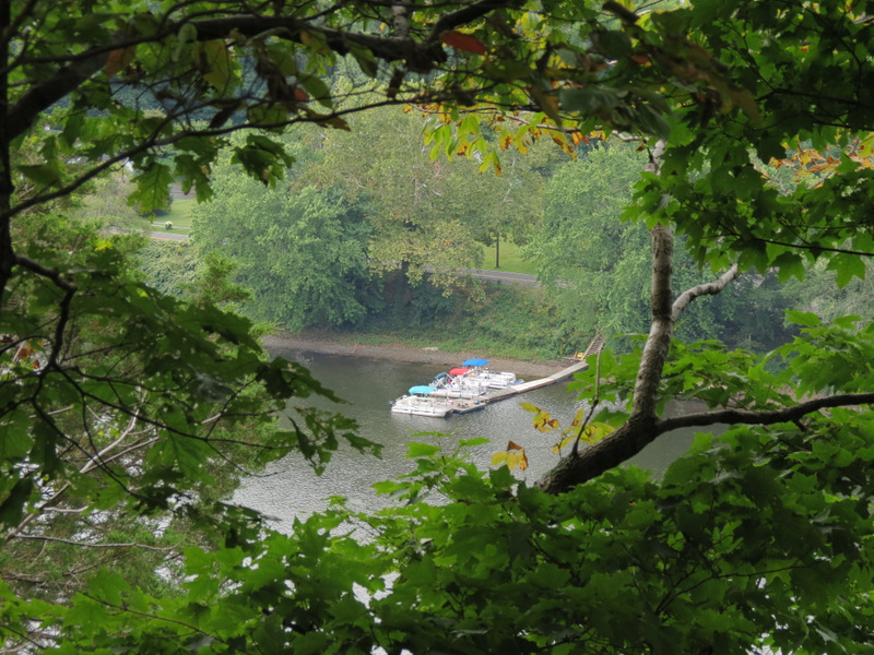 First view to the Delaware River |
 Broken shale on path |
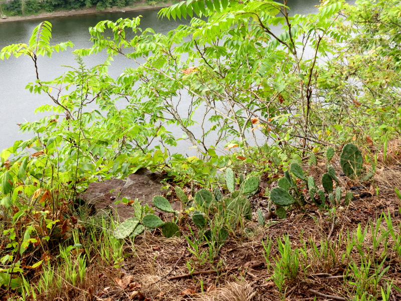 Cactus! |
 View east |
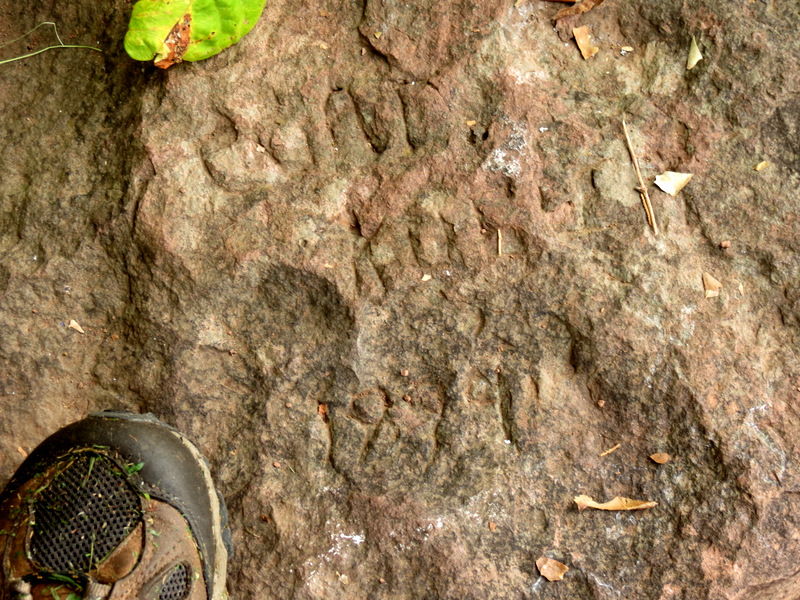 1899(?) graffiti |
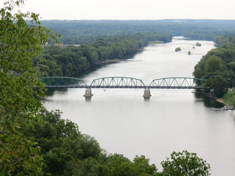 Milford Bridge |
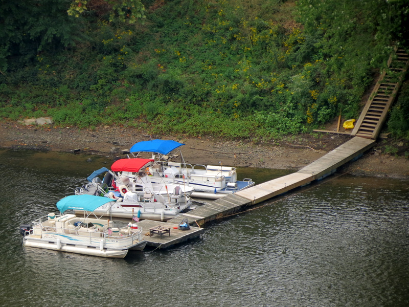 PA dock across |
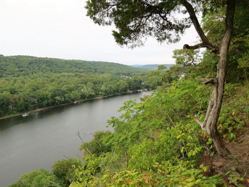 View west |
 Boat under Milford Bridge |
 |
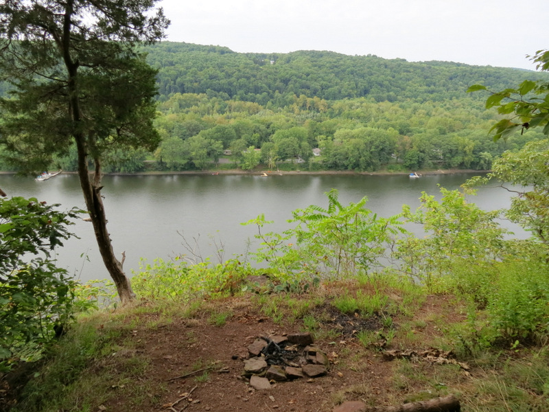 Nicely placed fire ring |
 Stay away from the edge! |
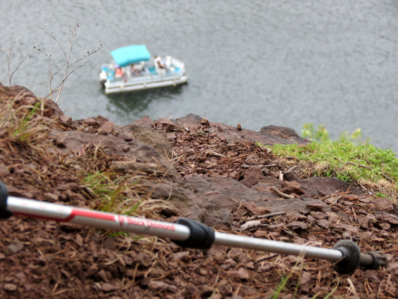
 Water skiing show-off |
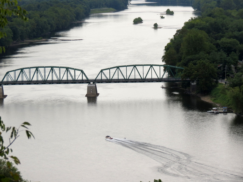 Heading to Milford Bridge |
 Graffiti hunting |
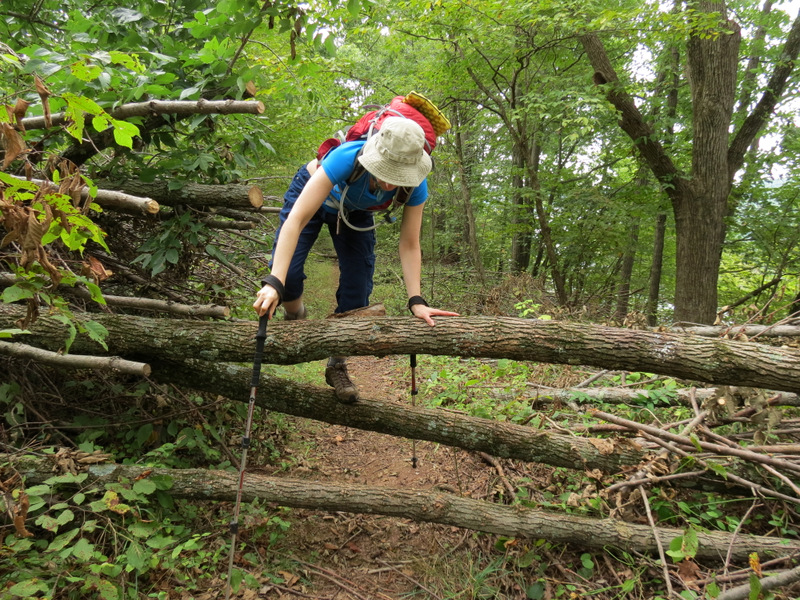
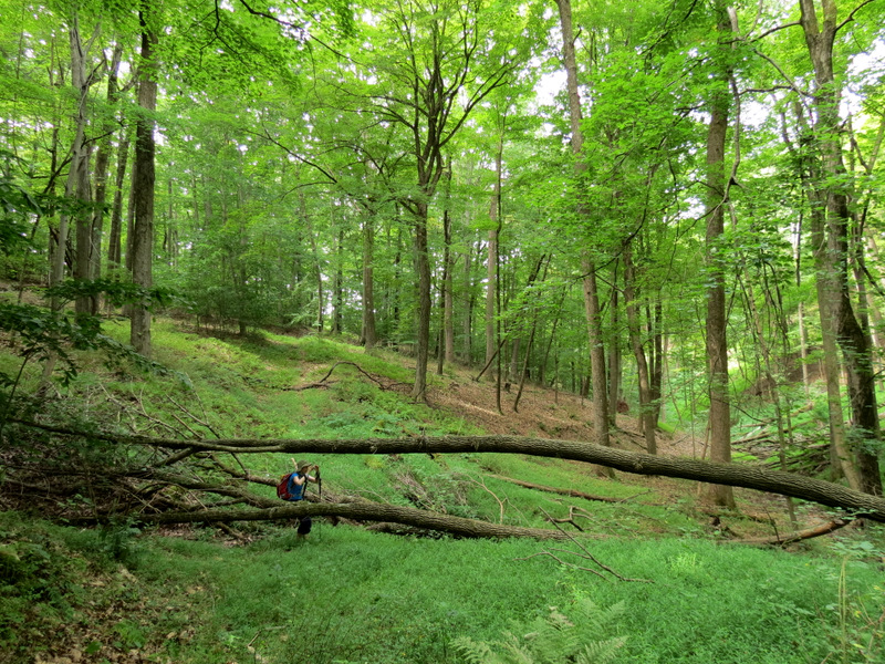
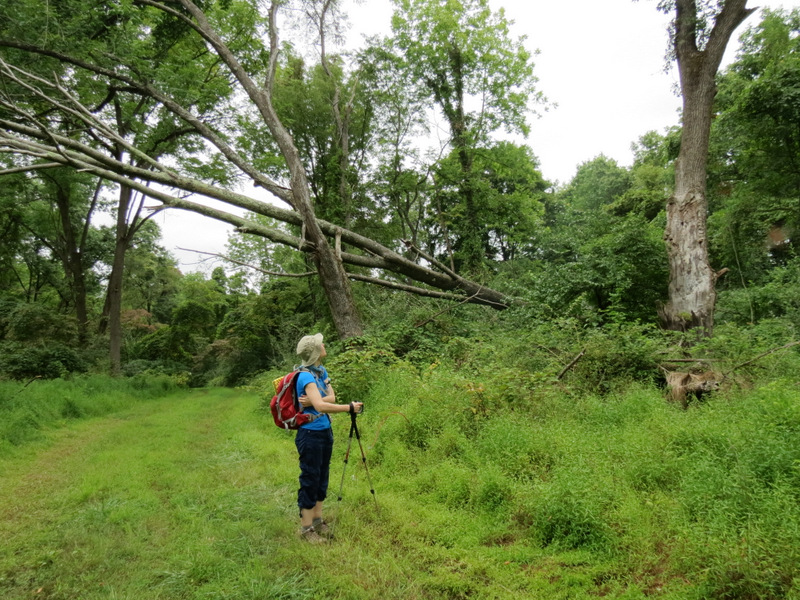
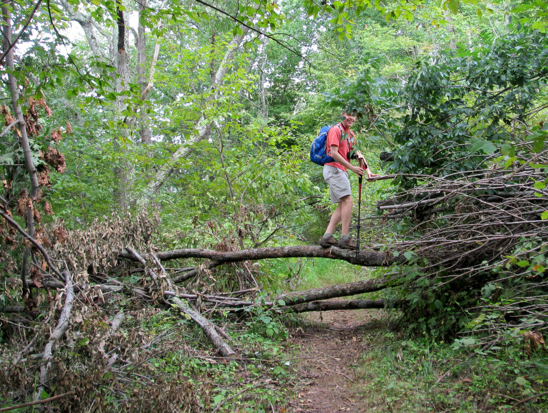 Blow-down [photo by Laura] |
 Indiana Jane |
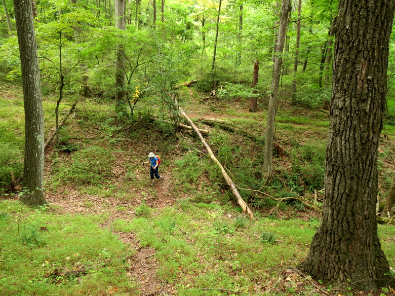
 On a trail not on map |
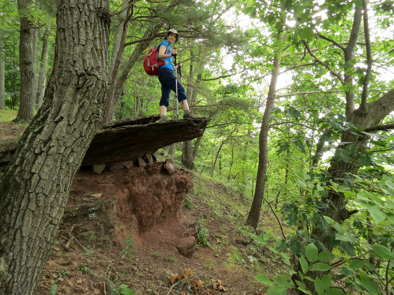 Jutting shale |
 Middle overlook |
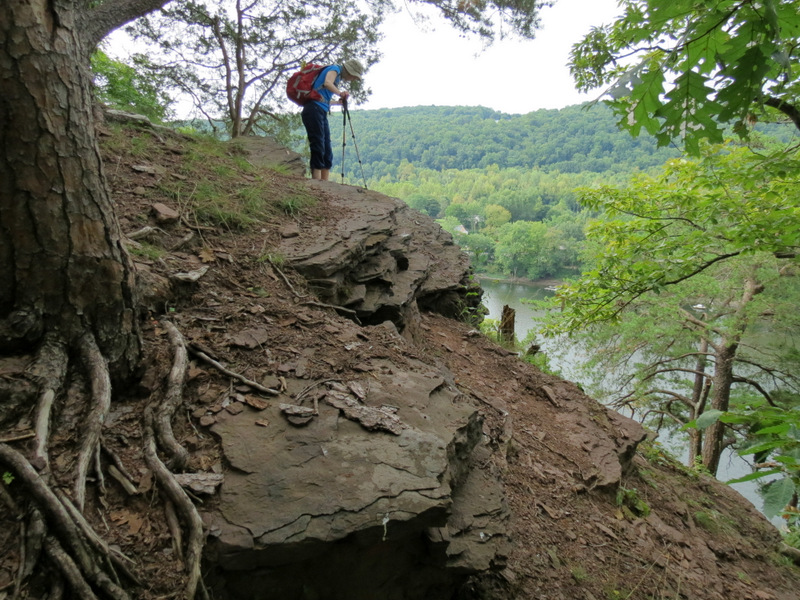 |
 Slippery surface here |
 Road and RR directly below |
 View west from middle lookout |
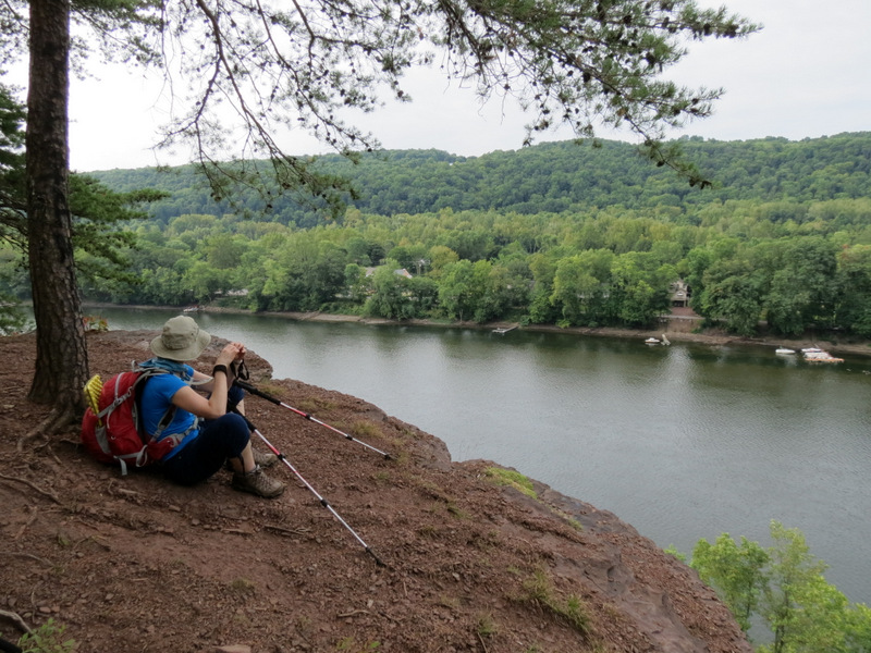 Taking a break |
 Straight below... |
 ...the Sun Tracker |
 Sun Tracker heading west |
 Slippery climbing back up |
 Fire ring at top |
 Back to... |
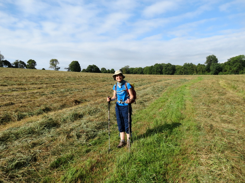
 ...farm field |
 Lunching hornet |
 Unblazed path on map |
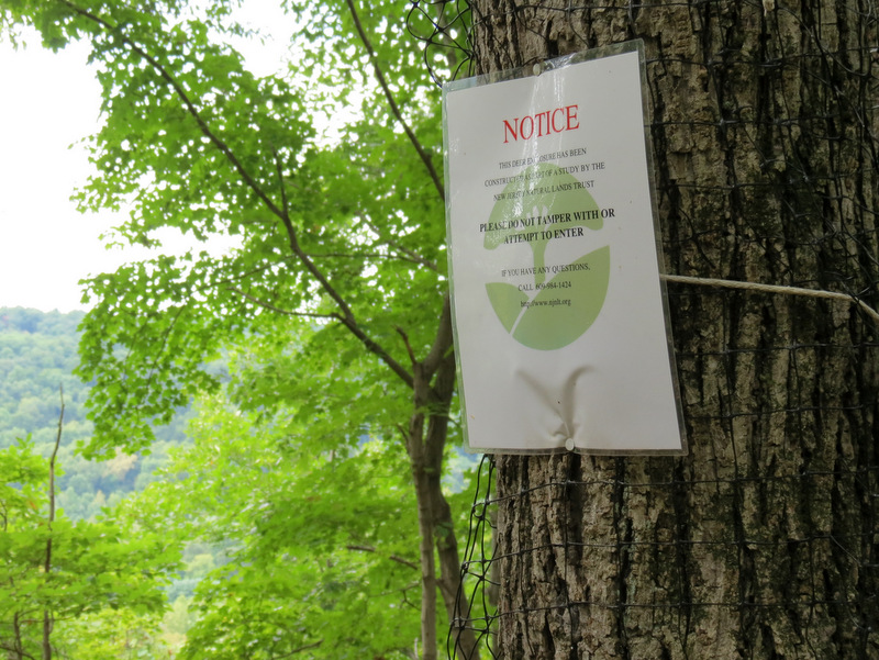 Deer exclosure sign |
 Unblazed path near pond |
 Third look-out [photo by Laura] |
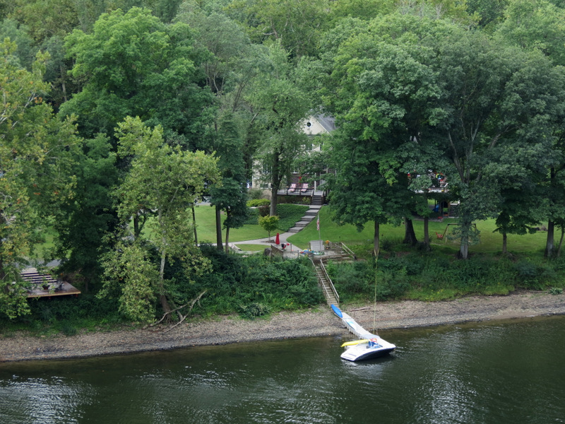 PA dock |
 View east |
 [Photo by Laura] |
 Catcus here too |
 Various views... |
 ...from west-most... |
 ...look-out |
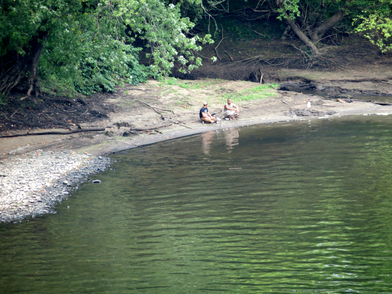 PA kids fishing |
 Woman kayaking near Canada Geese |
 Overgrown unmarked path |
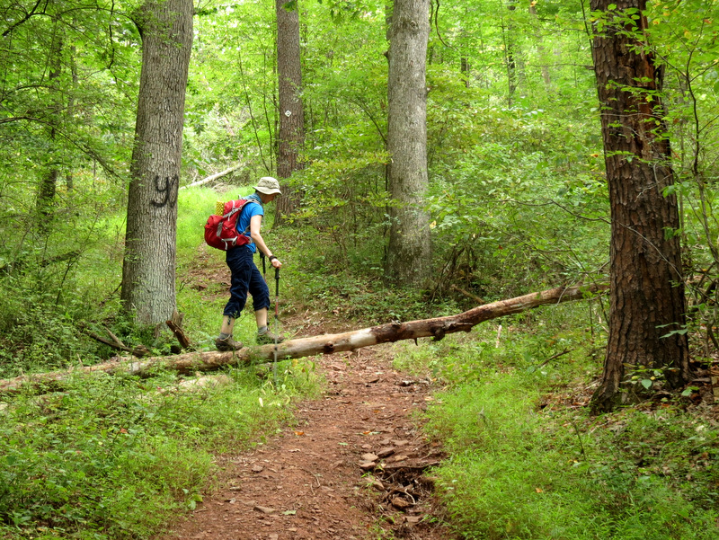
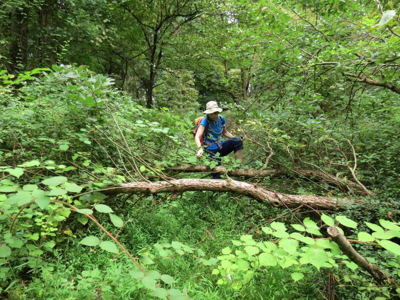 Tricky thorny blow-down |
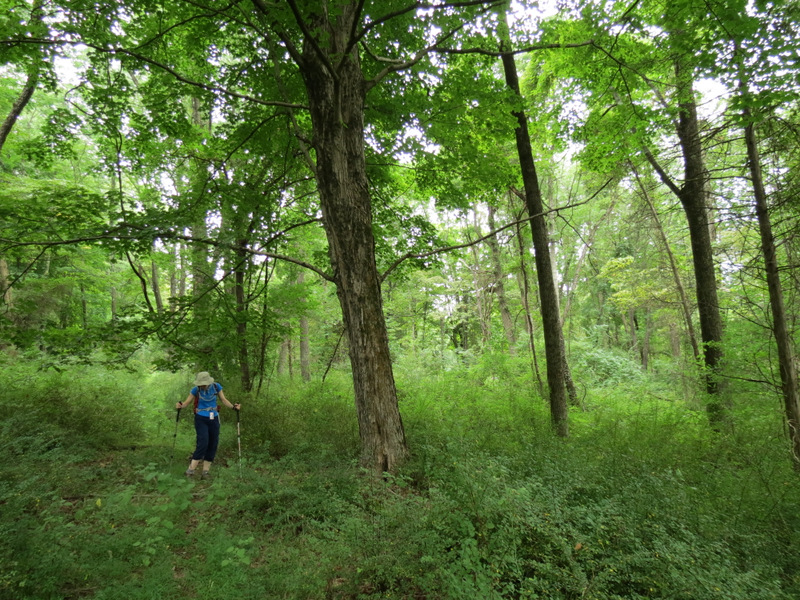 |
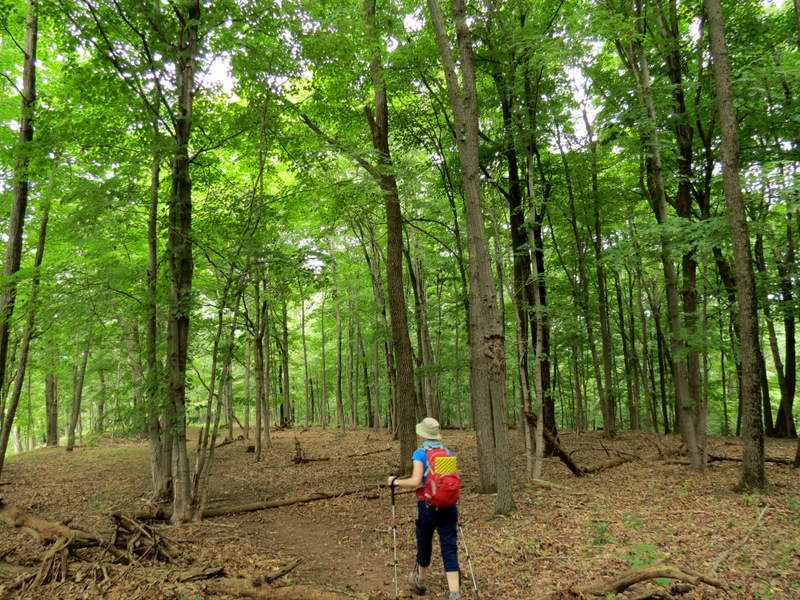
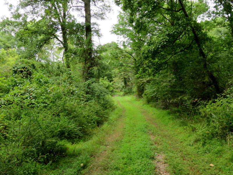 Nice woods road |
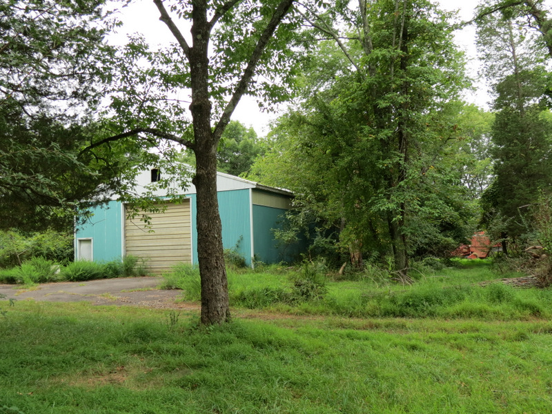 Farm shed (turn-around point) |
 Interested deer |
 Woods road heading east |
 |
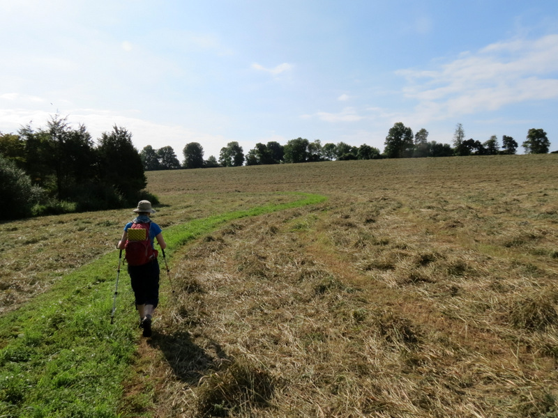
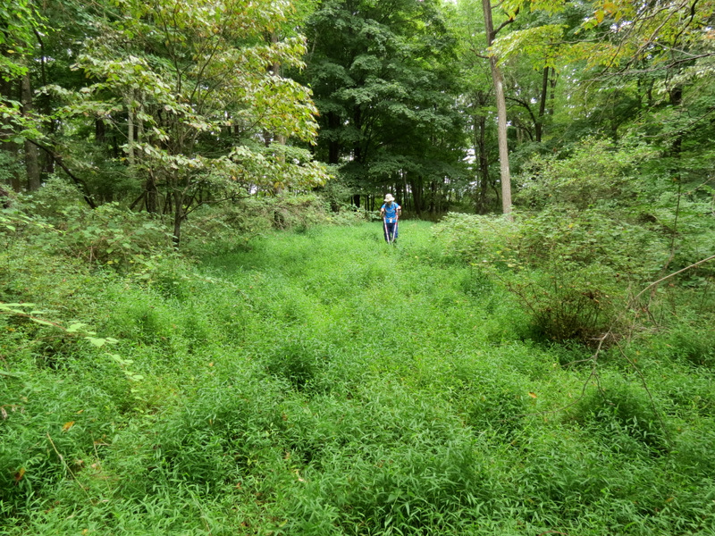
 Back to the farm fields |
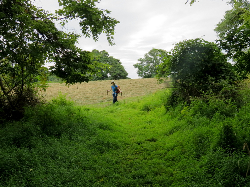 And now... |
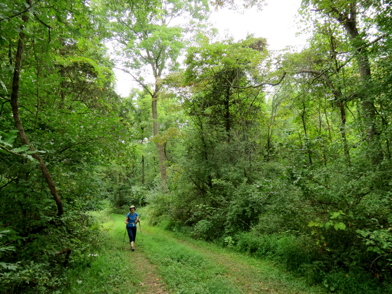
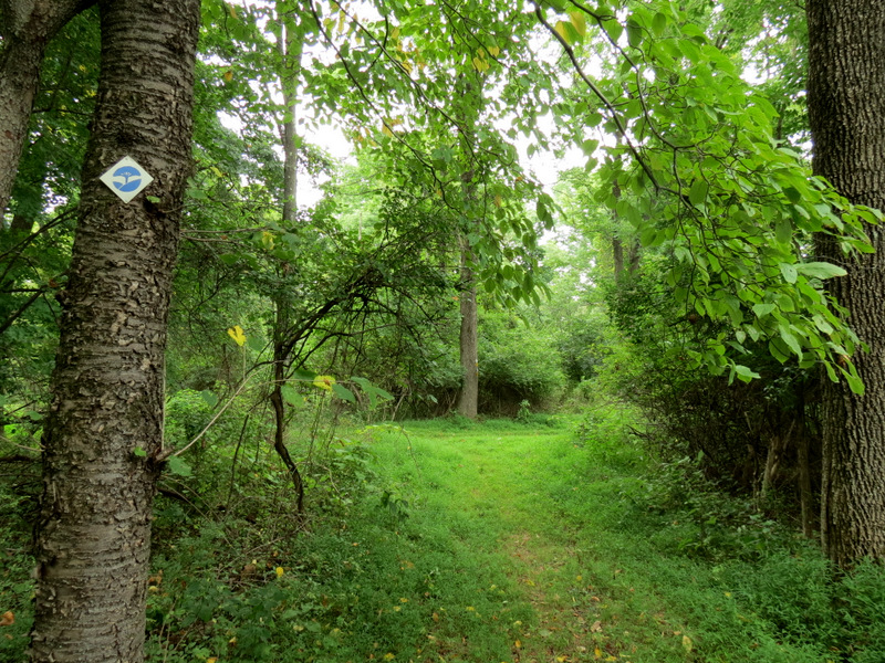 ...another marked trail in forest |
 Northern Flicker |
 |
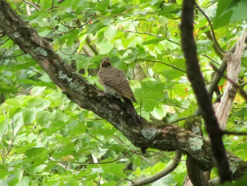 Immature Red-tailed Hawk? |
 |
 |
 |
 Back at trail head |

|
|
Photographs and content copyright © Dan Balogh Web design by Dan Balogh |