 |
|
This was our fourth consecutive hike in Sterling Forest. We mainly came back because the parking lot at the visitor's center
was very well plowed last week and this area got another dumping of snow this past week. We started this lollipop hike travelling east on the
blue-blazed Sterling Lake Loop trail, soon forking right onto the yellow triangle connector trail. At parking lot P13 (as denoted on the NYNJTC
Sterling Forest Trail Map 100), we intended on taking
the yellow-blazed McKeags Meadow loop counter-clockwise.
However, the section between three ponds just south of P13 was gone. It's been totally flooded out; the map is even labelled as
"flooded" at this point but still shows the trail, so we thought the great amount of snow would allow us to walk across it. But we
couldn't even find blazes, which were most likely removed! We did walk on one of the frozen ponds, in any effort to bypass the flooded part, but
the pond started cracking out from under us so we headed back to P13 and take McKeags Meadow clockwise as an out-and-back, turning
back when we had enough.
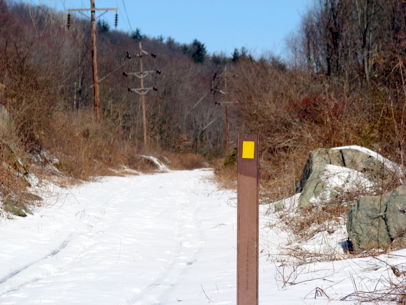
We were pleasantly surprised to soon see that a new trail (green horizontal bars against a yellow background) had been blazed parallel to where the flooded part of the McKeags Meadow trail had been. But instead of passing between the ponds (as the old leg did), this leg was safely east of the flooded area, and at a higher altitude. We made a right onto this trail and eventually met the McKeags Meadow trail near it's southern tip. There we made a left onto it and followed it all the way back to P13, and then headed back to the visitor's center via the yellow triangle connector trail and, for a very tiny part, the Sterling Lake Loop trail. While we saw at least a dozen hikers last week, this week we didn't see a single one. We only saw ice fishermen. Every footstep we took was in 8-12 inches of undisturbed snow. We got quite a workout! (Click on the thumbnail to bring up a bigger image in a pop-up window)
|
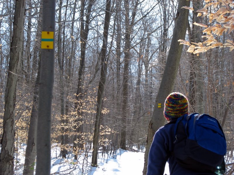
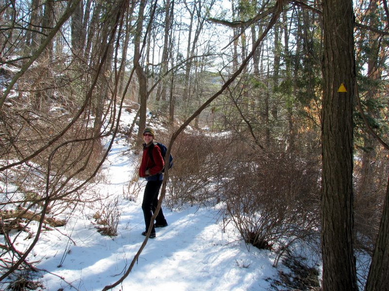 On yellow connector trail |
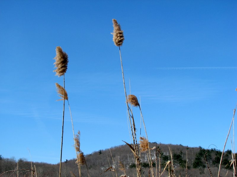
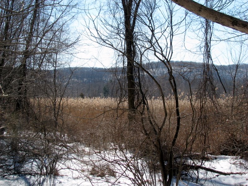
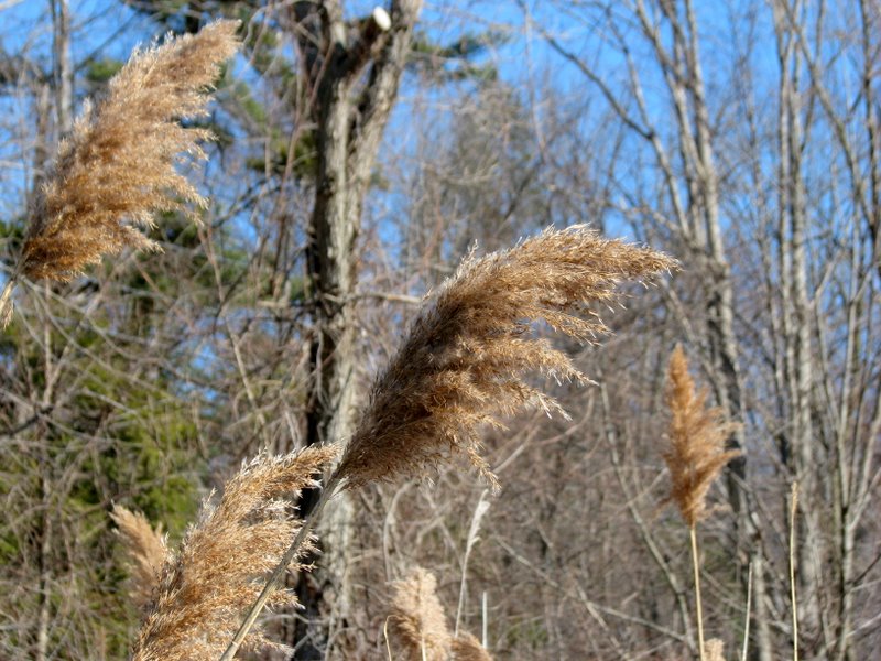 Phragmites |
 In Laurel Meadow |
 Lamb's Ear |
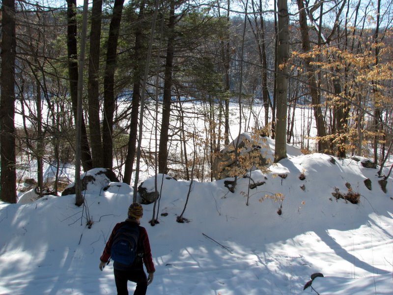 Frozen lake from connector trail |
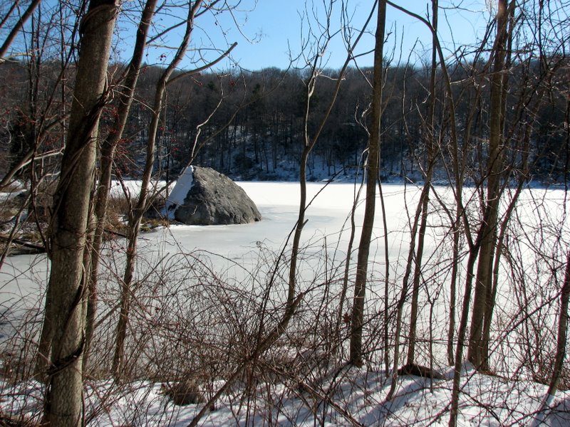
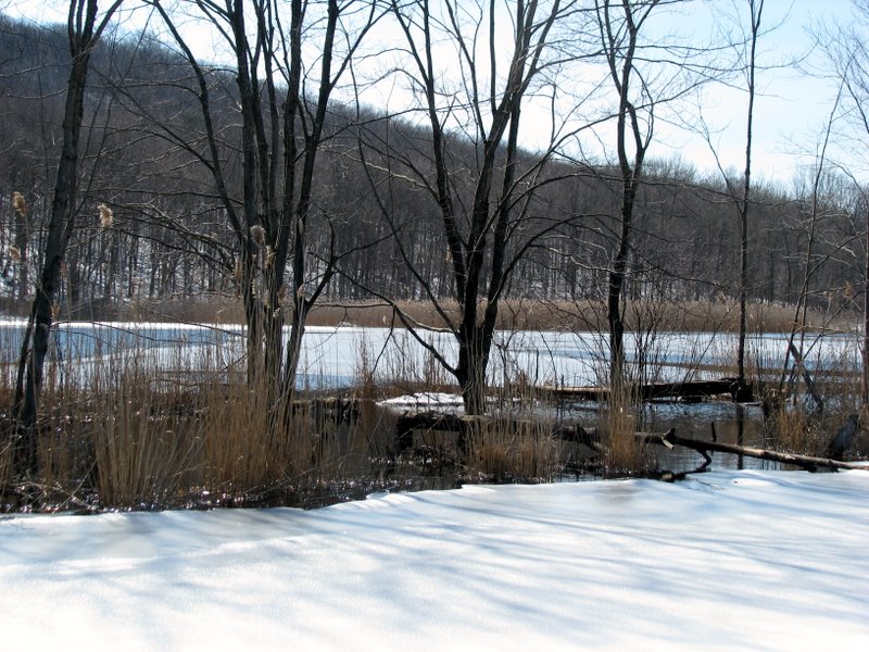
 Largest of the Laurel Meadow Ponds |
 |
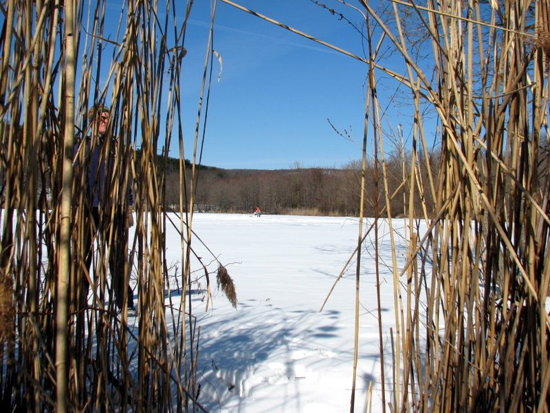
 Ice fishing |
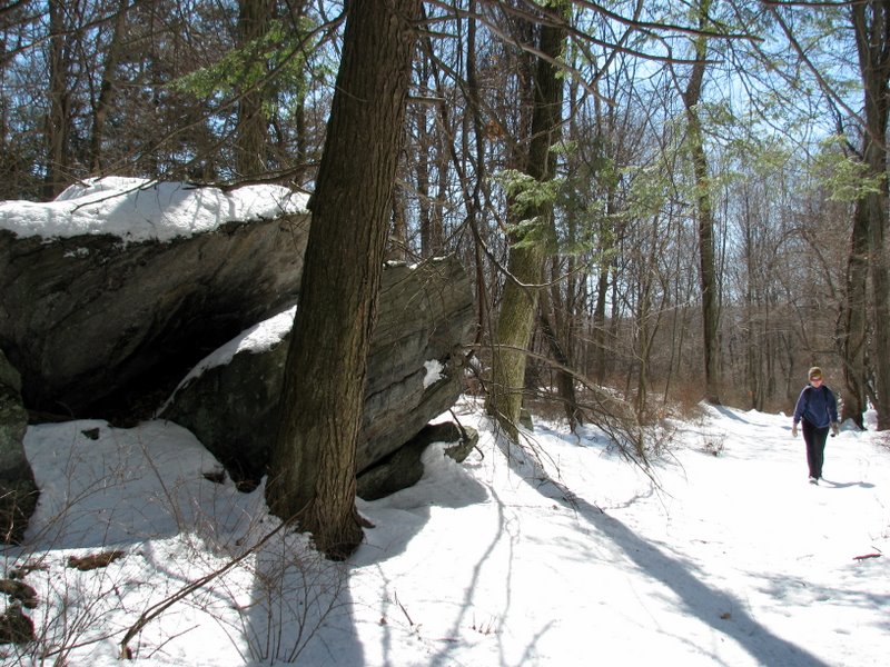
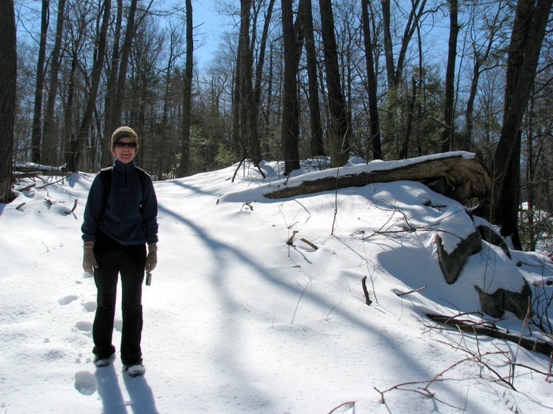
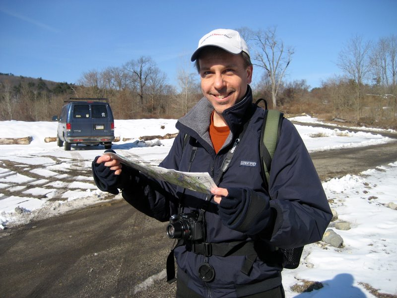 Regrouping at P13 [photo by Laura] |
 The sign says it all |
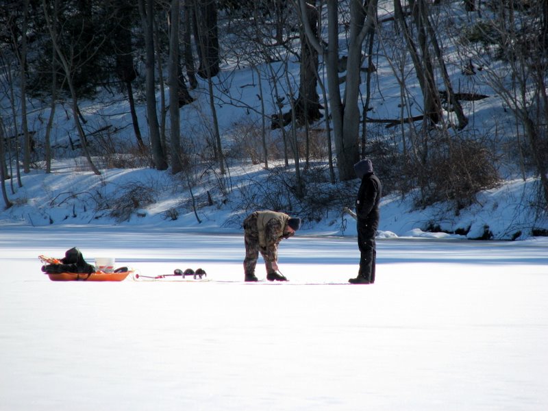
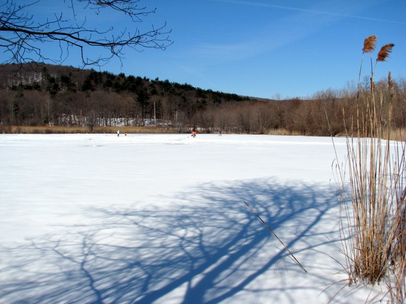 Ice fishers on lake south of P13 |
 |
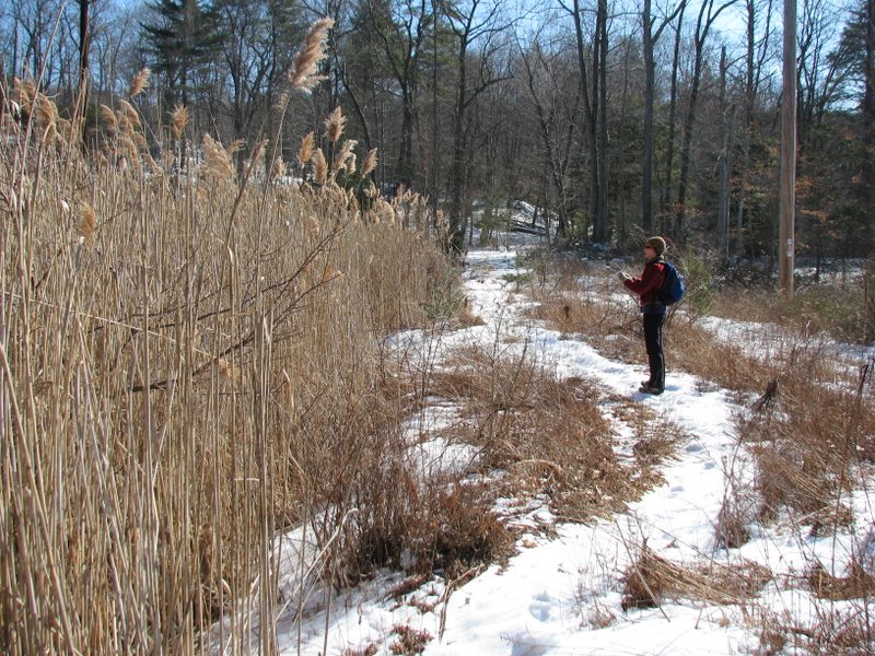
 More phragmites |
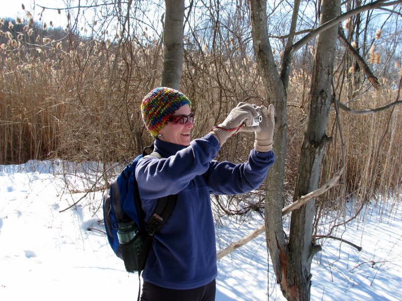
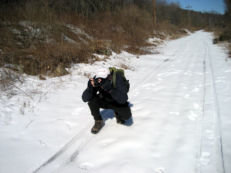
 Laura peering in at me ... |
 ... about to take this photo |
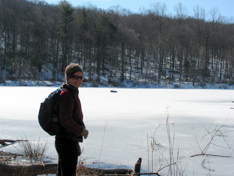
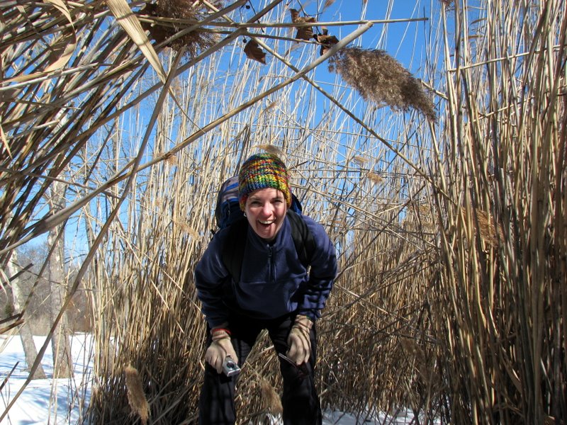
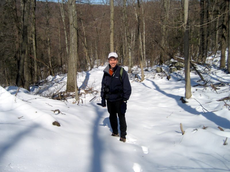
 There I am [photo by Laura] |
 Looking for the blazes of flooded leg |
 |
 Gate at beginning of McKeags Meadow loop |
 |
 A new trail replaces the flooded leg! |
 |
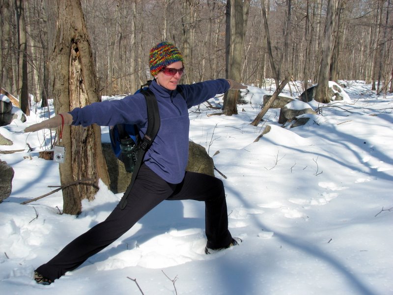 Virabhadrasana II in the snow |
 Deep snow |
 |
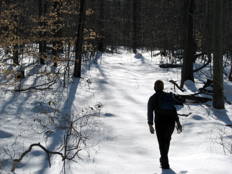
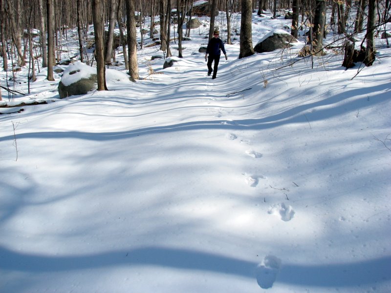
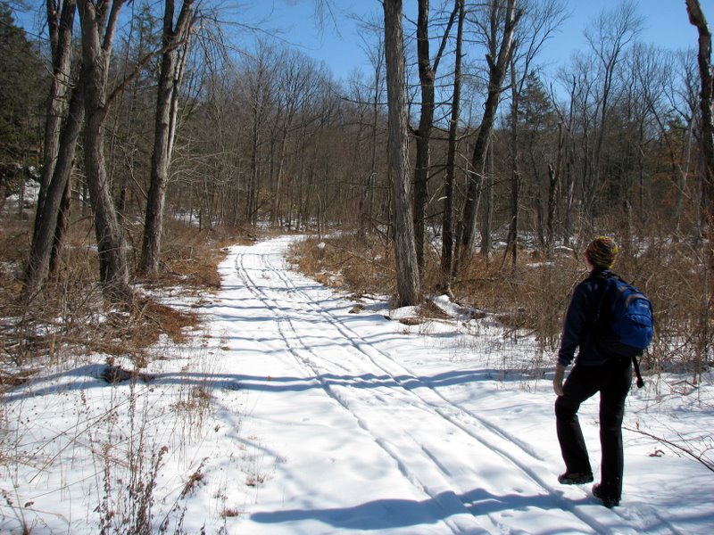
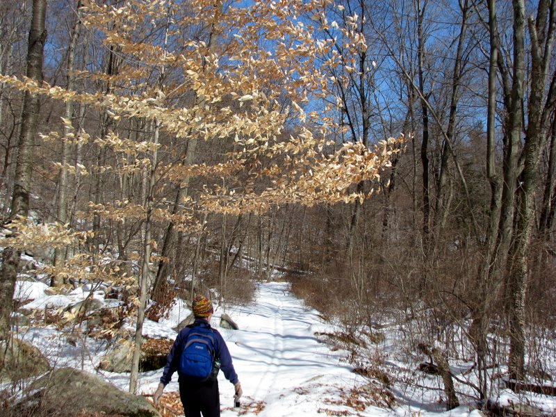
 Hiking south on the McKeags Meadow trail |
 Snapping snow [Photo by Laura] |
 McKeag looking north |
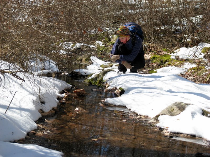
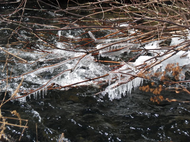 Icy stream |
 |
 |
 |
 |
 |
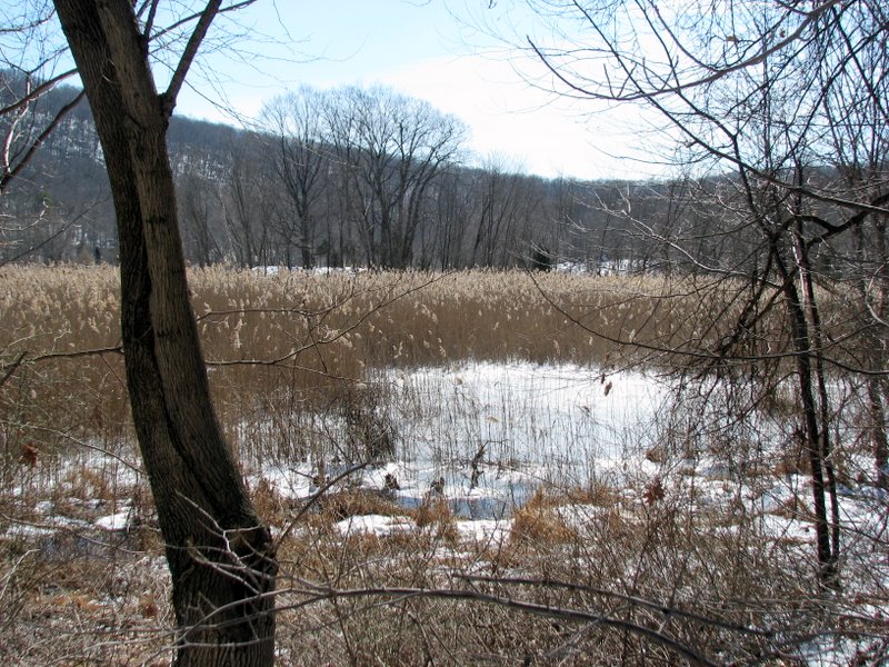 McKeags Meadow |
 McKeags Meadow |
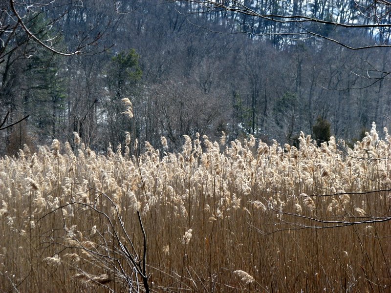 Phragmites |
 McKeags Meadow |
 |
 |
 |
 Admiring a tiny waterfall |
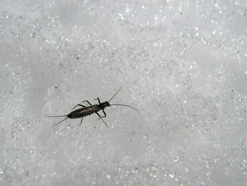 Tiny, tiny ice bug (super macro shot) |
 |
 |
 |
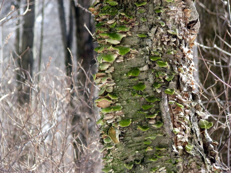
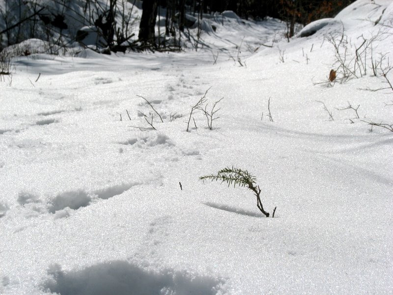 Growth through the snow |
 |
 [Photo by Laura] |
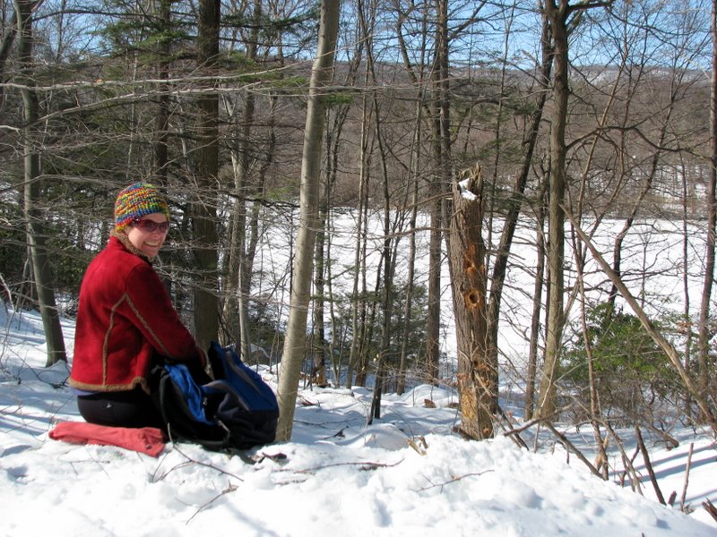
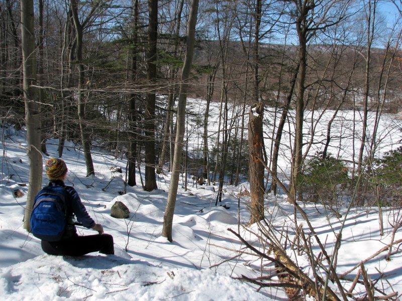 Our cold lunch spot |
 Better with a heavier coat |
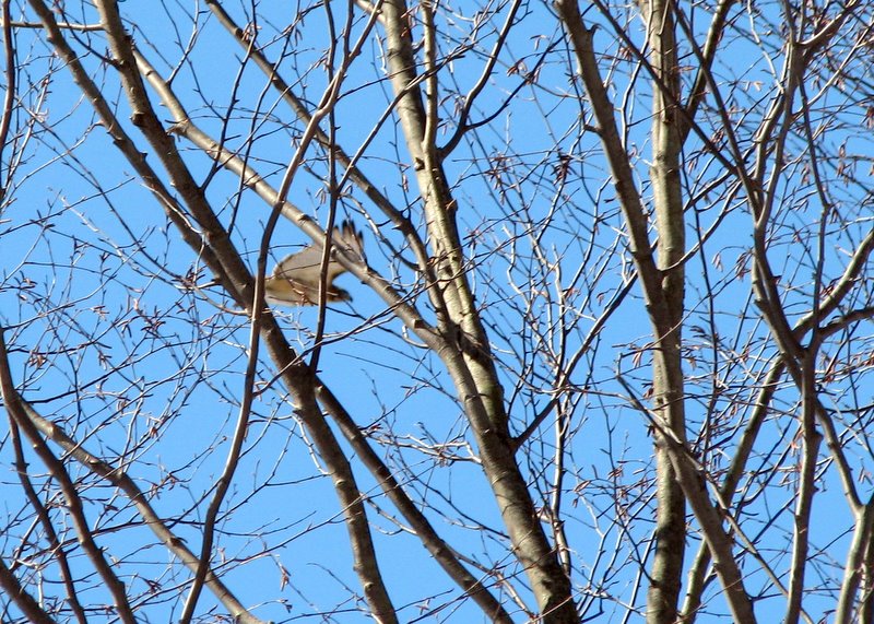 Soaring hawk |
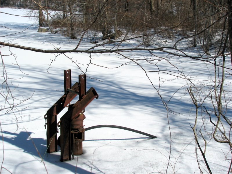 Pump remains in Laurel Meadow pond |
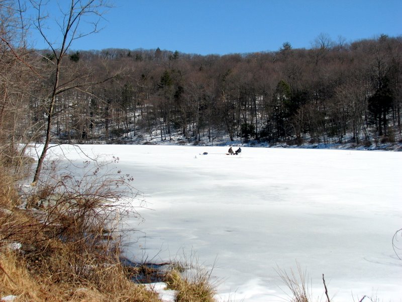
 Still ice fishing 2.5 hours later |
 |
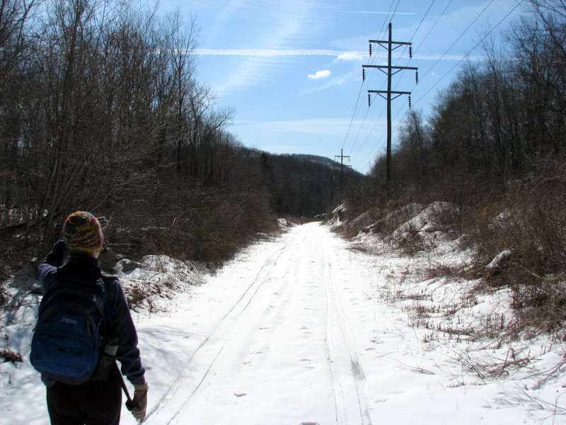
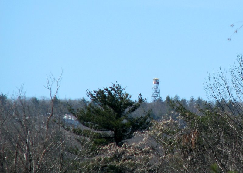 Sterling Forest fire tower from connector trail |
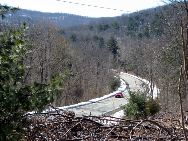 Long Meadow Road from connector trail |
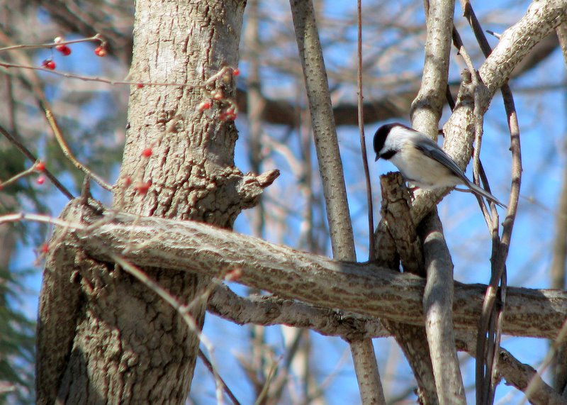 White-breasted Nuthatch |
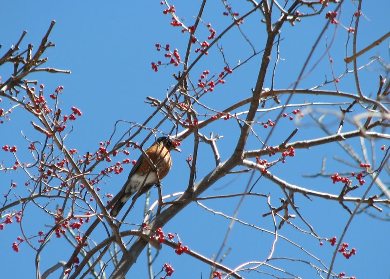 Robin Red-Breast |
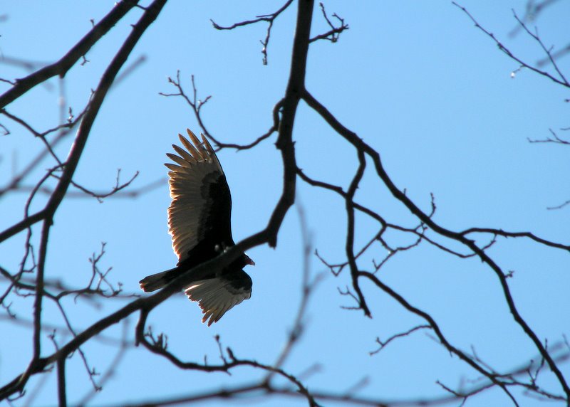 Turkey vulture |

|
|
Photographs and content copyright © Dan Balogh Web design by Dan Balogh |