 |
|
Months after Hurricane Sandy swept through the area, the majority of NJ state parks are still closed with (as far as can be determined) no date on when they will open.
And if a park is open, the trails (or at least a majority of the trails) are closed. The devastation of Sandy on the area cannot be underestimated. Things may never be
back to how they were. I'm beginning to wonder if some of these parks will ever reopen! So one excellent strategy to use when picking a hiking spot is
to check the highlighted hike at the New York-New Jersey Trail Conference website. You can be sure that if they're highlighting a hike that someone has recently verified
that (a) the park is open and (b) the hike, as described, can be hiked. So today we did their Hike of the Week for
9/21/2004, but verified and updated on 1/1/2013 (four days ago). And this
one is a winner.
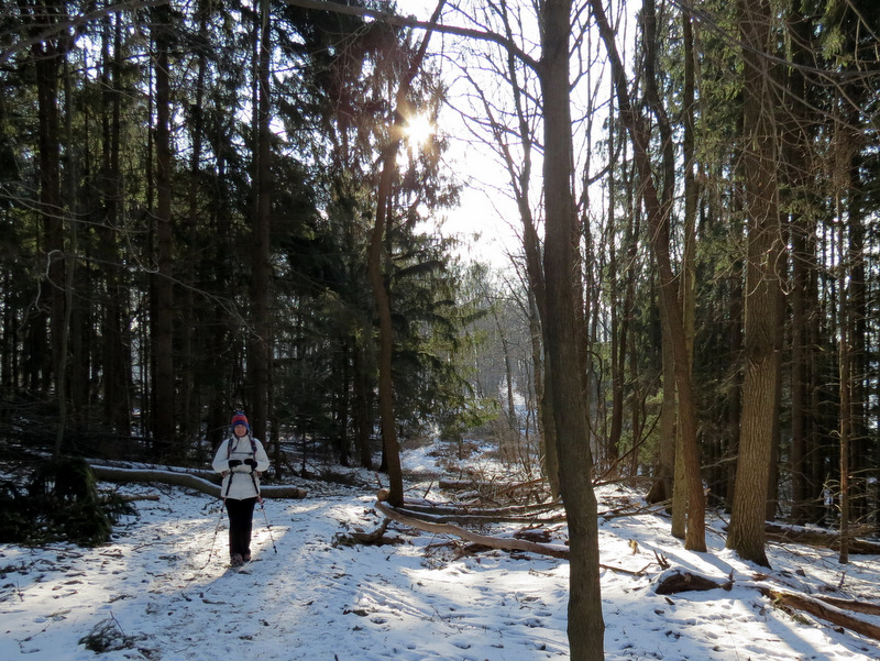
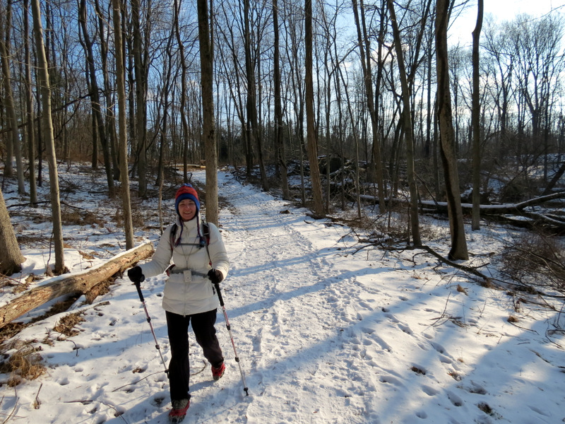
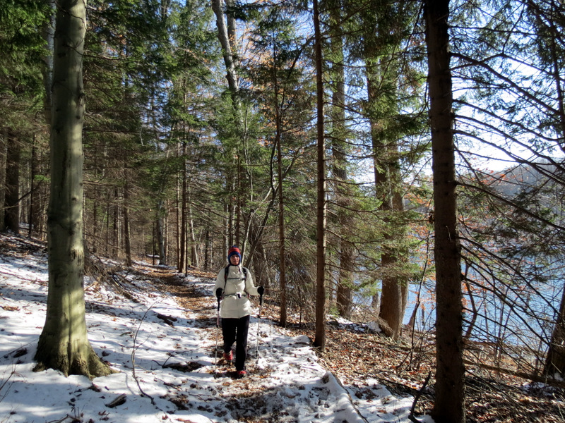
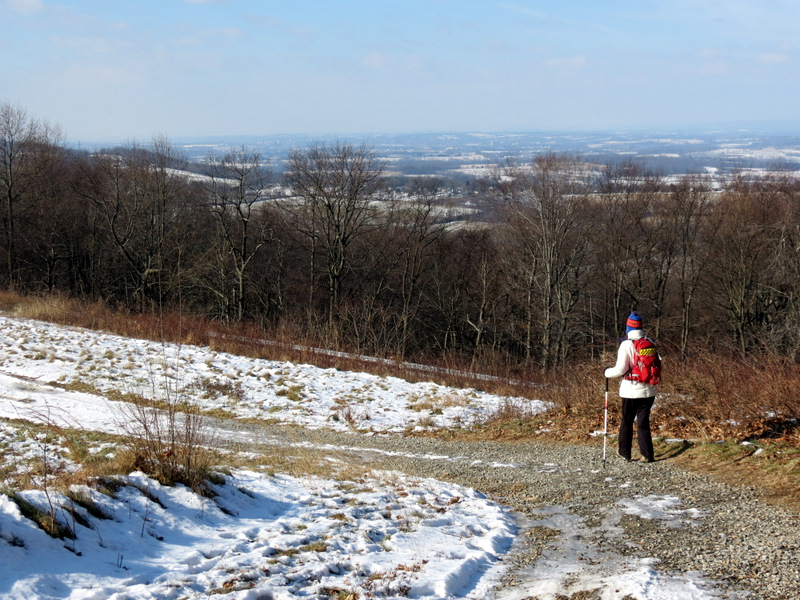
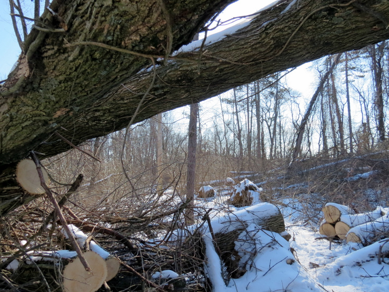
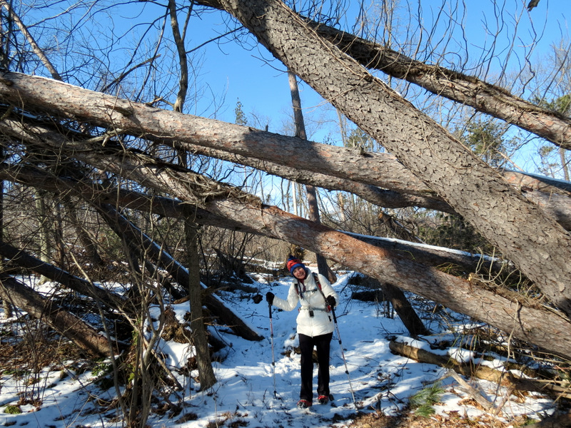
It's been almost exactly 8 years to the day since we hiked this incredibly beautiful area (I can't imagine why we haven't returned since then except that I believe I kept confusing this reservoir with the Round Valley Reservoir, which we have visited many times over the years). Back in January of 2005, there was snow on the ground, but not as much as today. Our Kahtoola Microspikes were indispensible on the densely packed, slippery snow which covered about 75% of the trails covered in this hike. At the northern stretch of the Perimeter trail, though, removed them for about 30 minutes, only to put them back on just west of the Inlet-Outlet Tower. Getting back to Sandy for a moment, there is utter devastation at a couple of points along the way, mostly of pines. On the western side of the reservoir it appears that literally dozens and dozens of pines fell directly on the trail for a stretch. Incredibly, they've all been cleared! Total distance hiked today was 6.5 miles in about 3.5 hours.
|
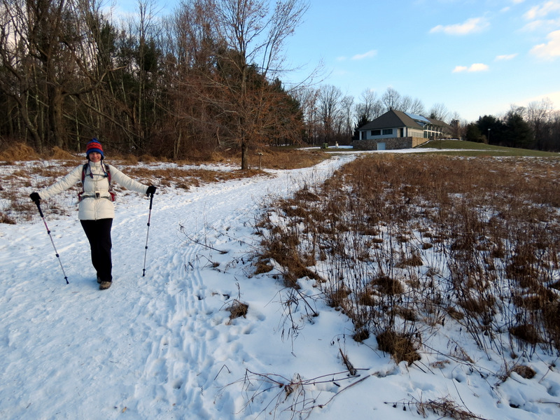 Behind the visitor's center |
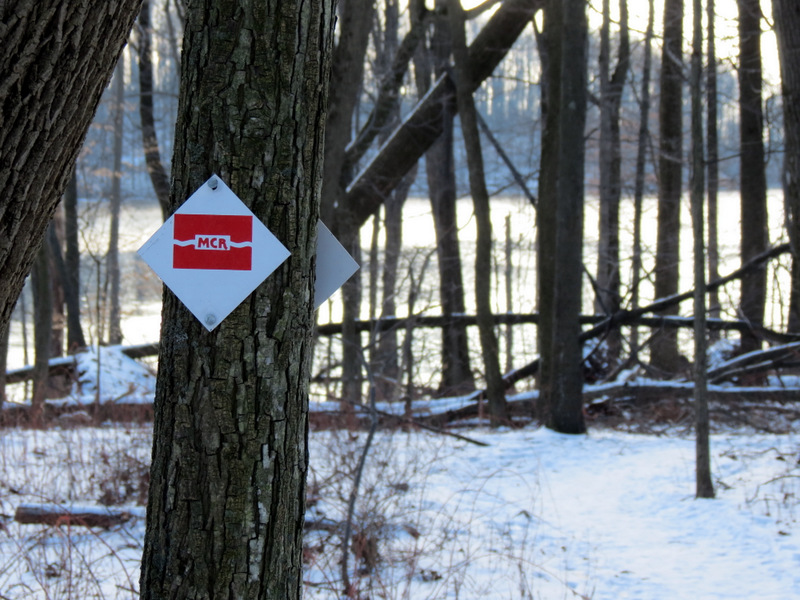 The Merrill blaze |
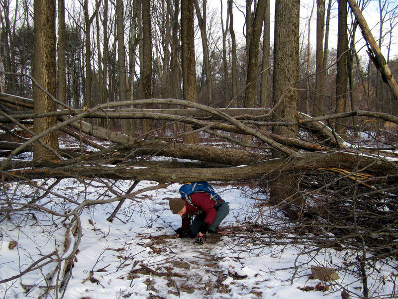
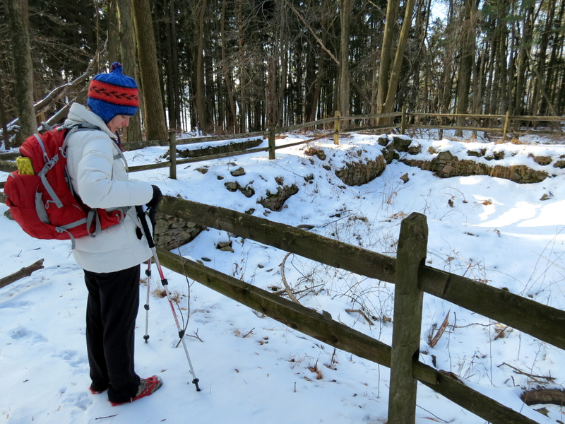
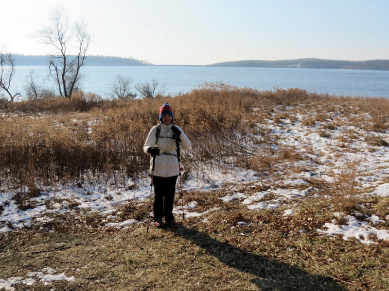
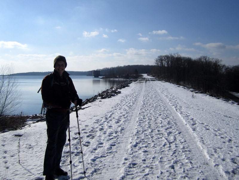
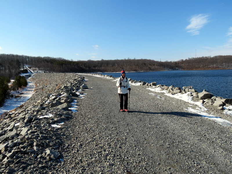
 Putting on our Microspikes |
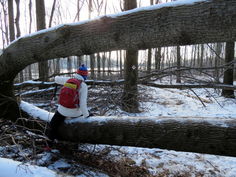 Sandy blow-down |
 My turn [photo by Laura] |
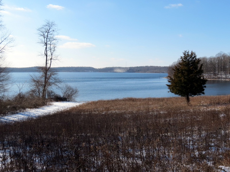
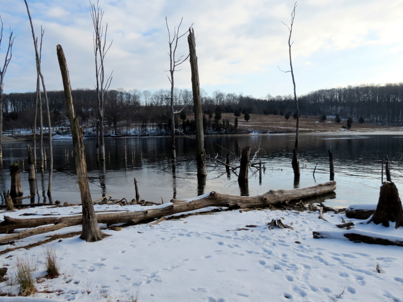 Merrill Creek Reservoir ... |
 ... from Red trail |
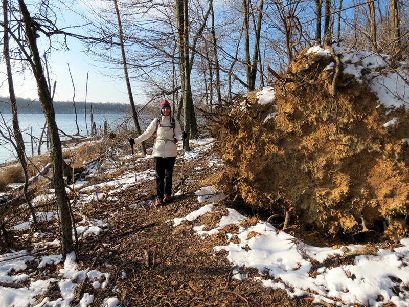 Roots of huge blow-down |
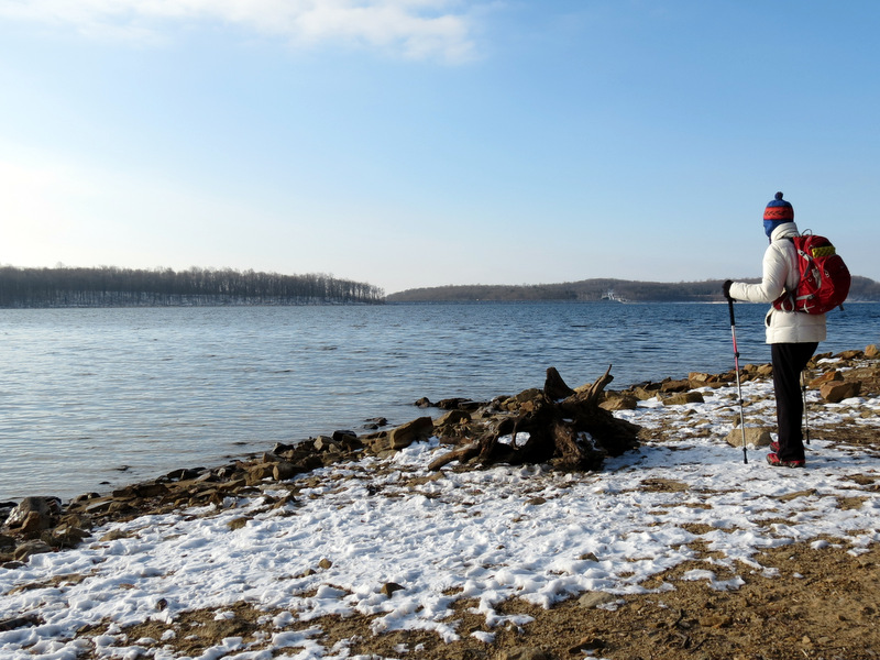 View SE |
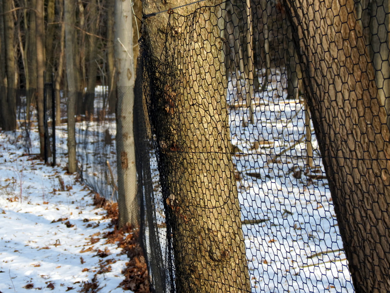 Deer exclosure area |
 |
 Cathers Farmhouse foundation |
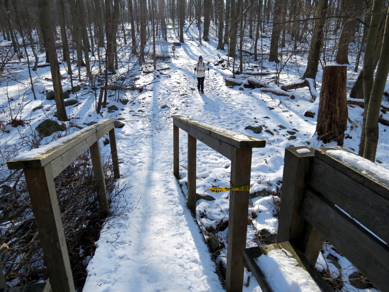
 Bridge |
 More ruins ... |
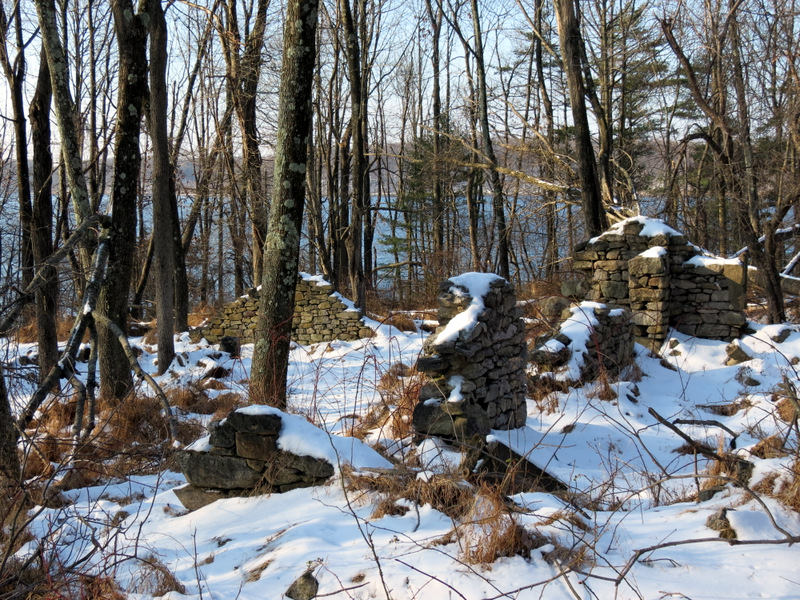 ... on both sides |
 Packed snow |
 Song Sparrows |
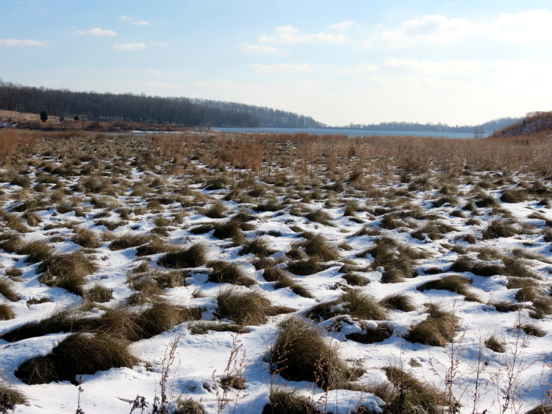
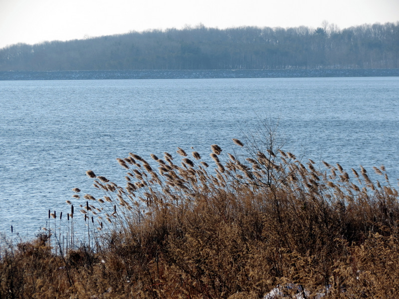 Phragmites |
 |
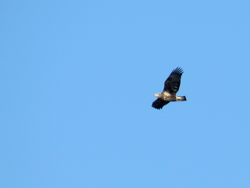
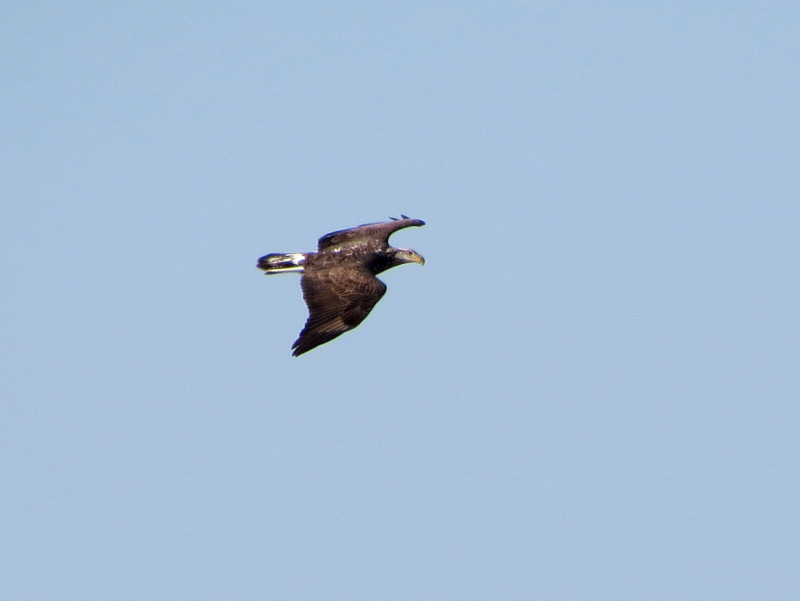 Golden Eagle |
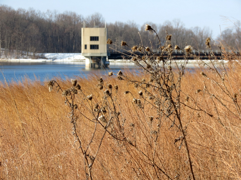 Inlet-Outlet Tower |
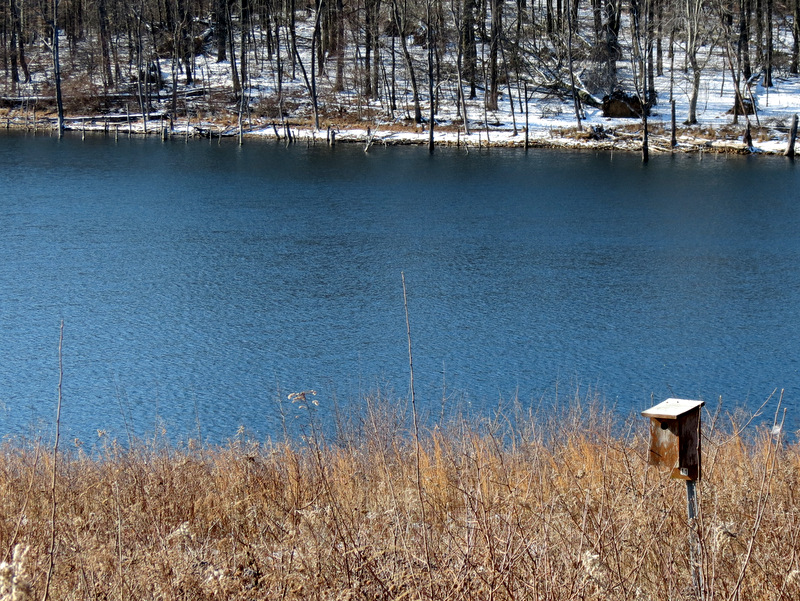
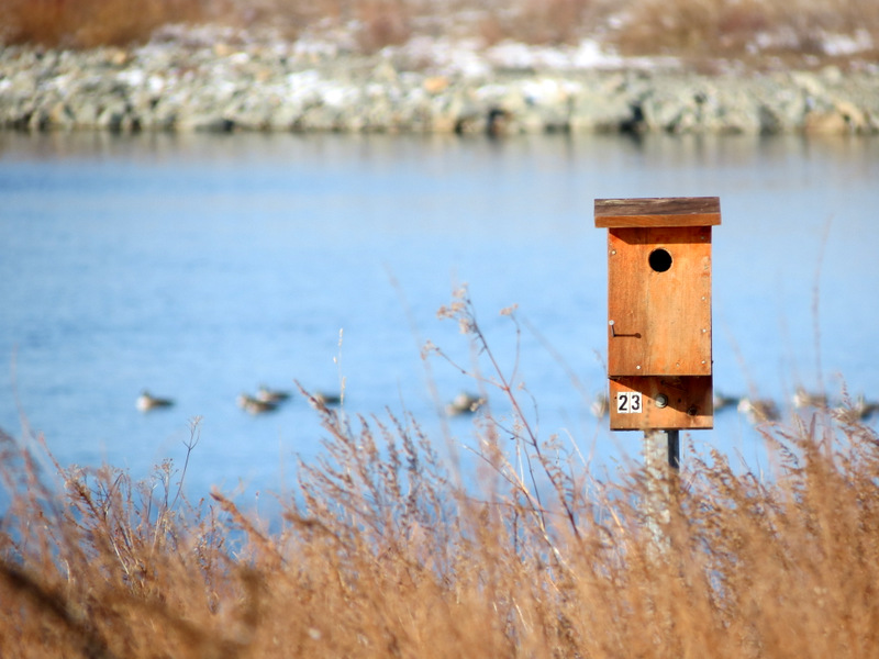 Birdhouse |
 |
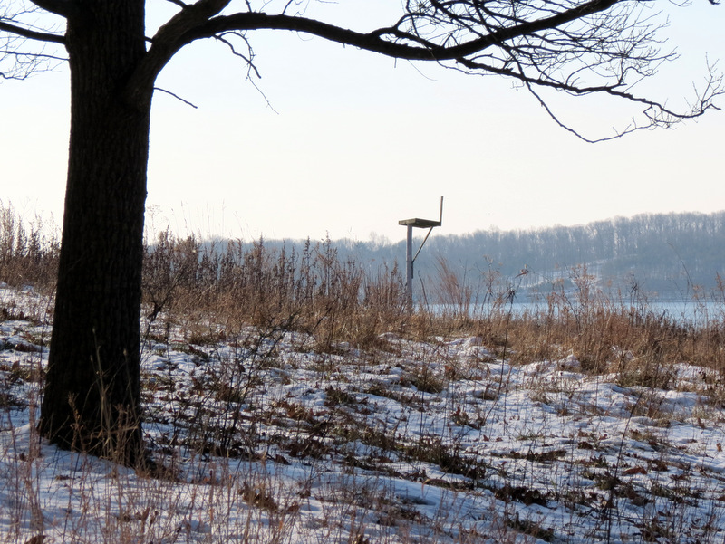 Osprey platform? |
 Hawk |
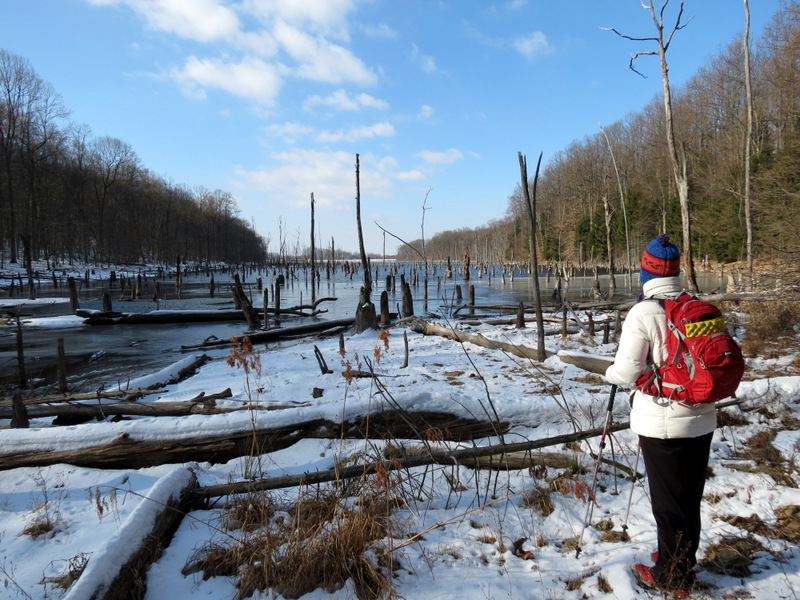
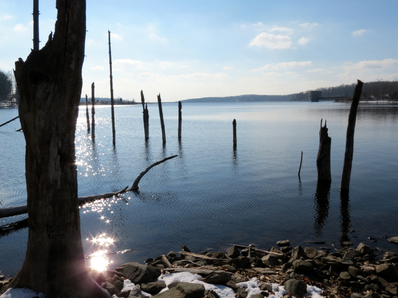
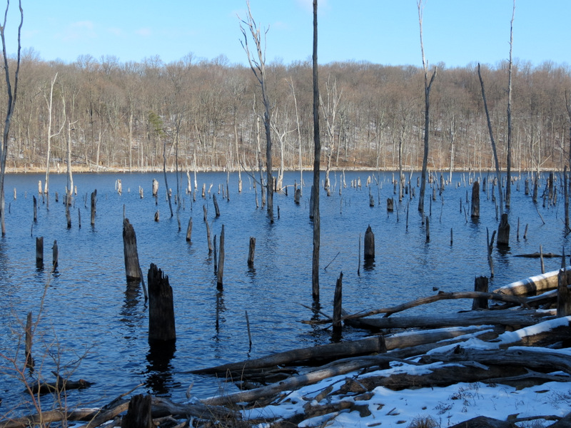 Sunken trees ... |
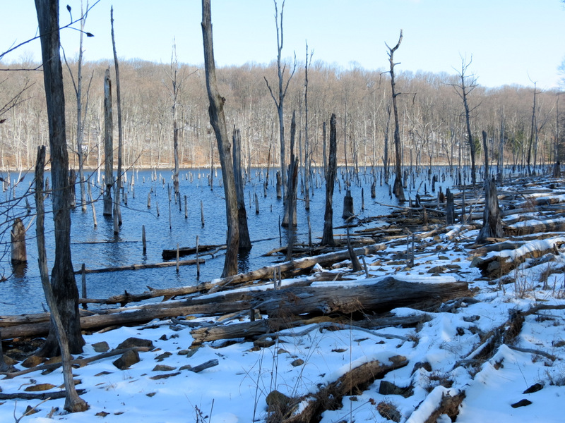 ... along Blue & Yellow |
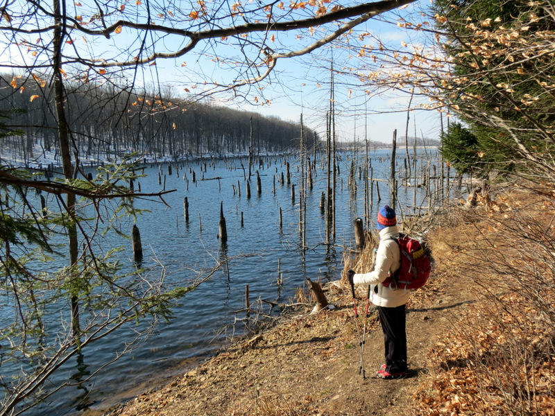
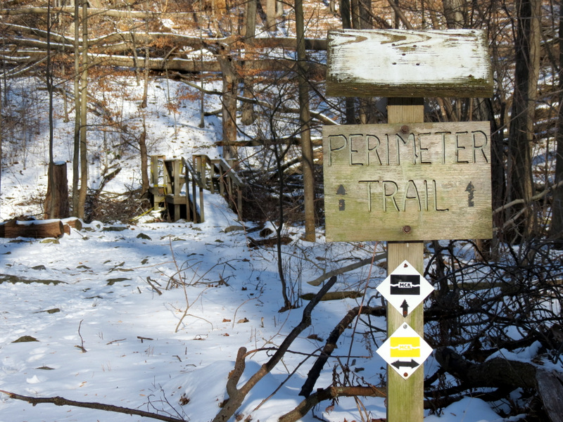 Perimeter Trail |
 Damaged bridge |
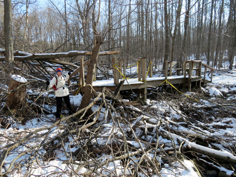 Sandy damage near bridge |
 Along northern arm |
 View from tip |
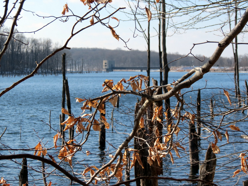
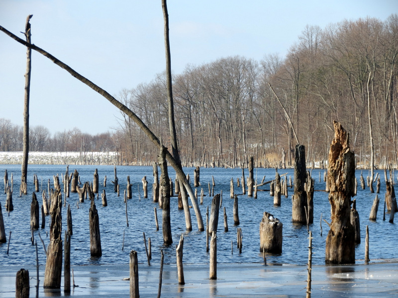 Drowned trees |
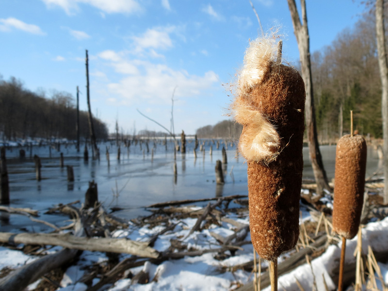 Cat tail |
 |
 |
 |
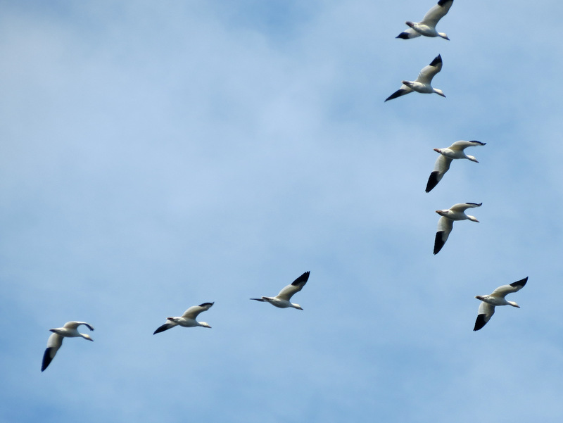
 Canada Geese |
 View south |
 |
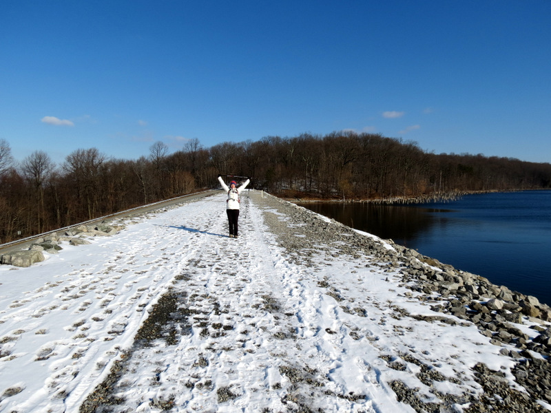
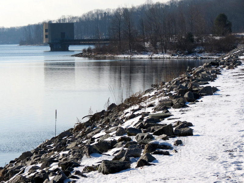 NW 2 Dike |
 On NW 2 Dike |
 [Photo by Laura] |
 Birds over main dam |
 On NW 2 Dike |
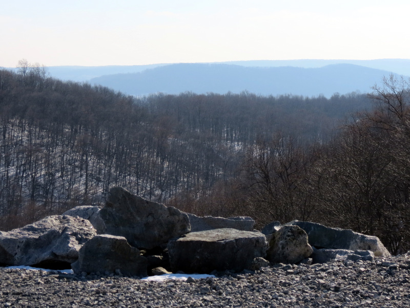
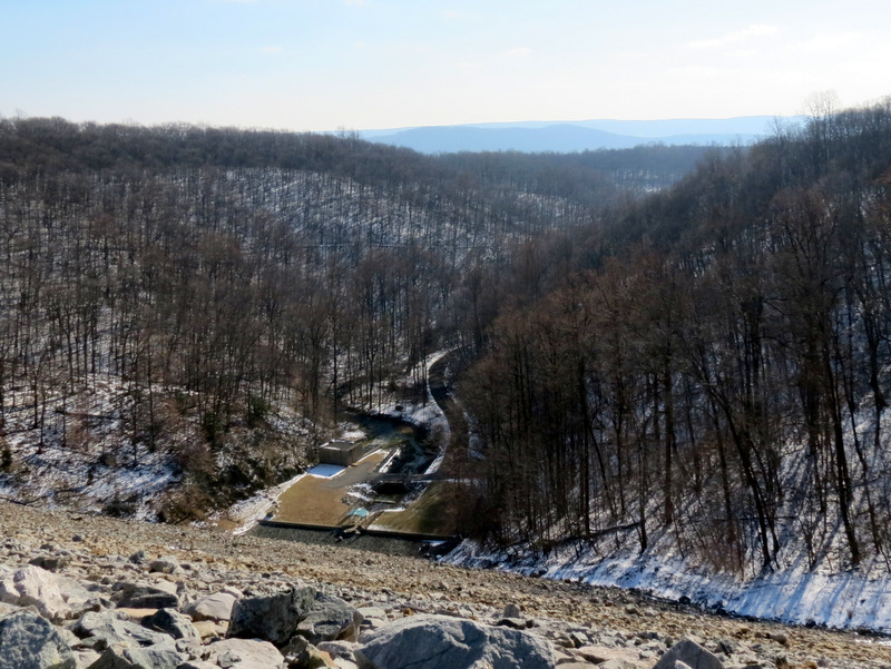
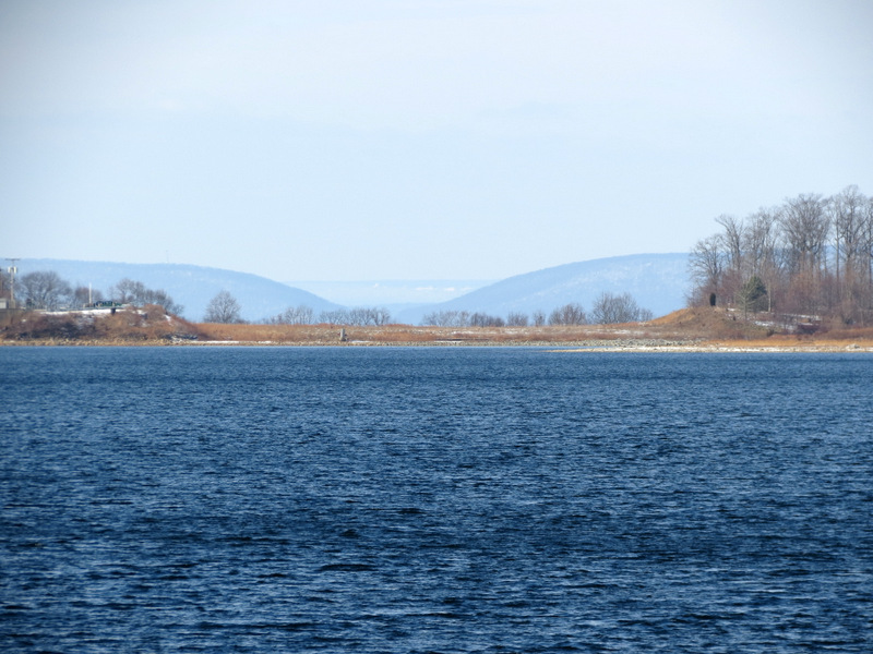
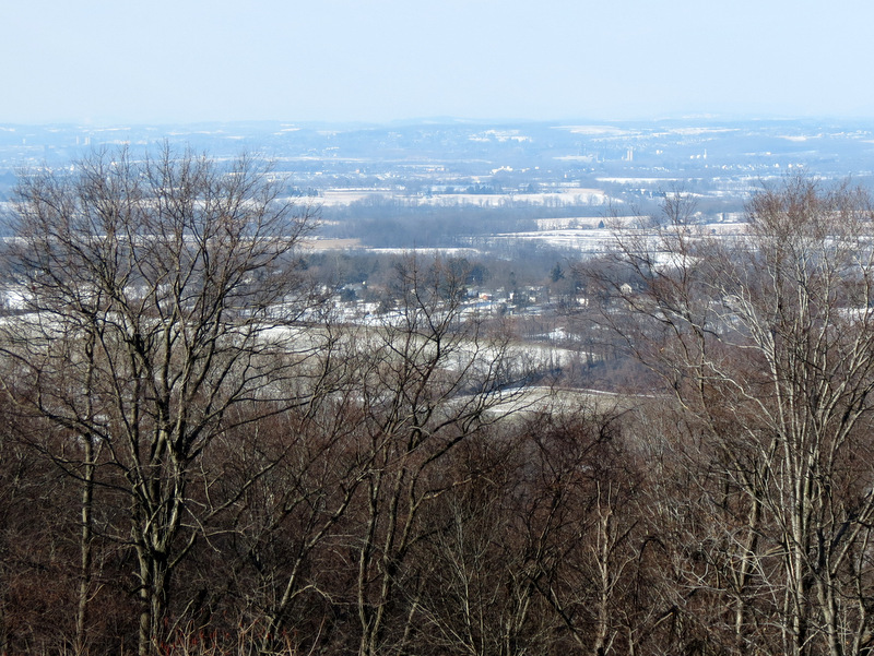 View to Kittatinnies |
 |
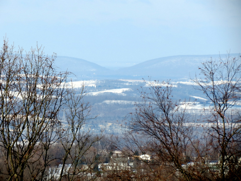 Wind Gap? |
 |
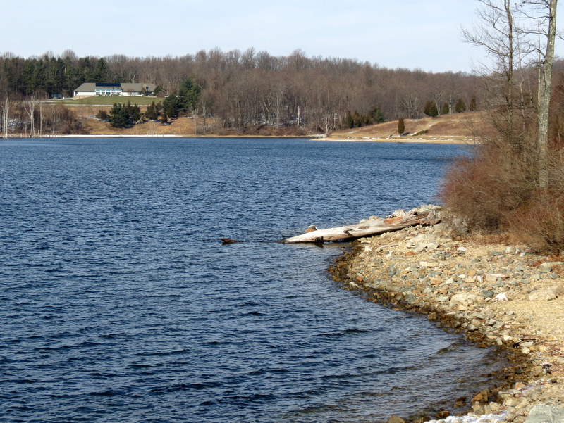
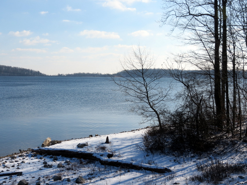 Merrill Creek Reservoir |
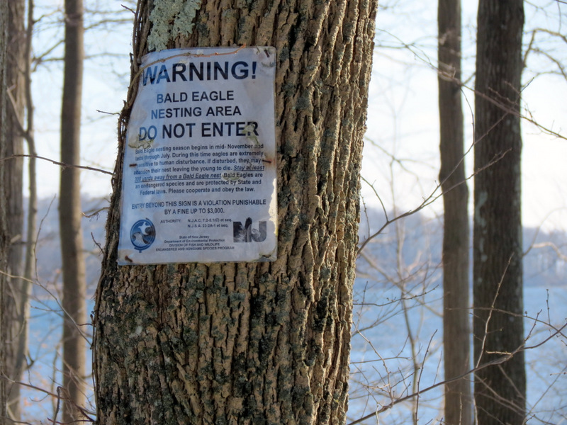 Bald Eagle warning |
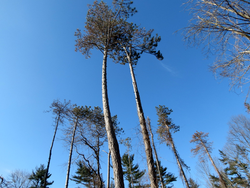 Few remaining pines |
 |
 Gasline cut |
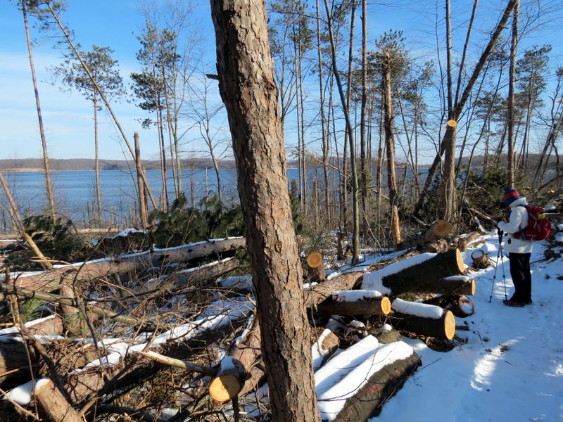 Devastating ... |
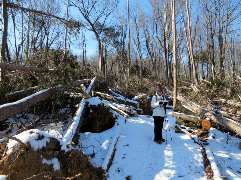 ... pine damage |
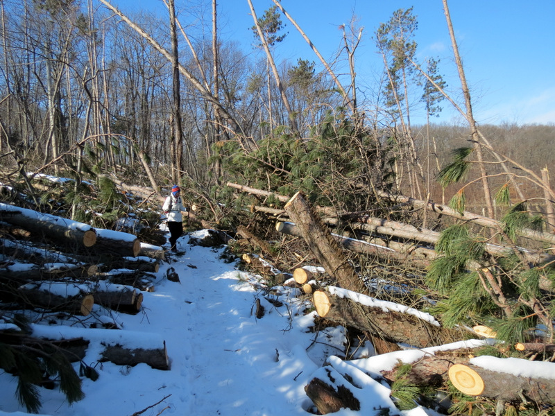 Dozens of ... |
 ... fallen pines |
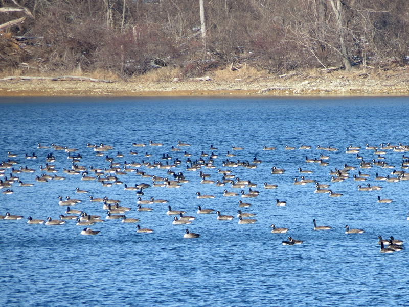 Canada Geese |
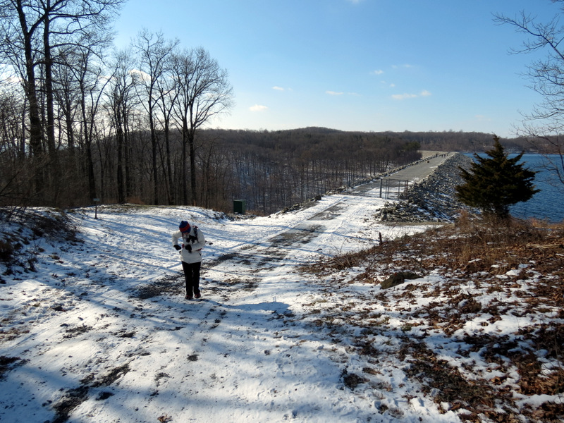
 On Main Dam |
 View south |
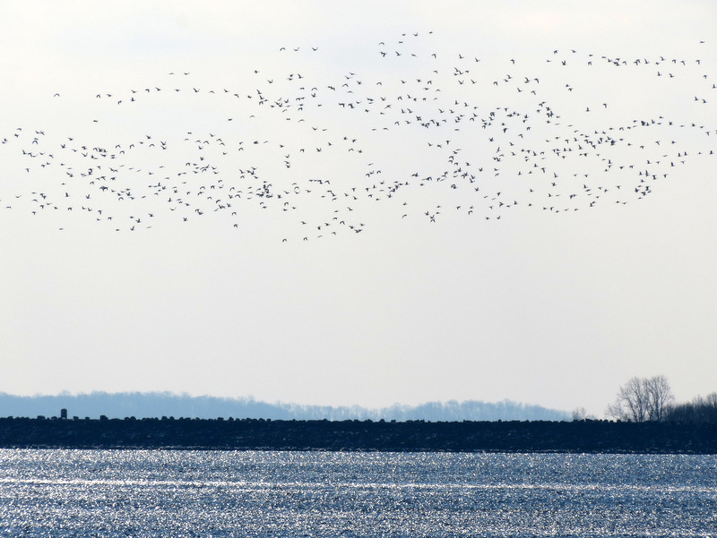
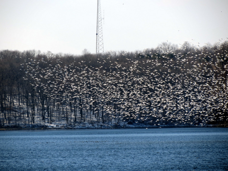
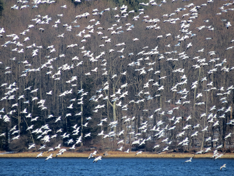 Thousands ... |
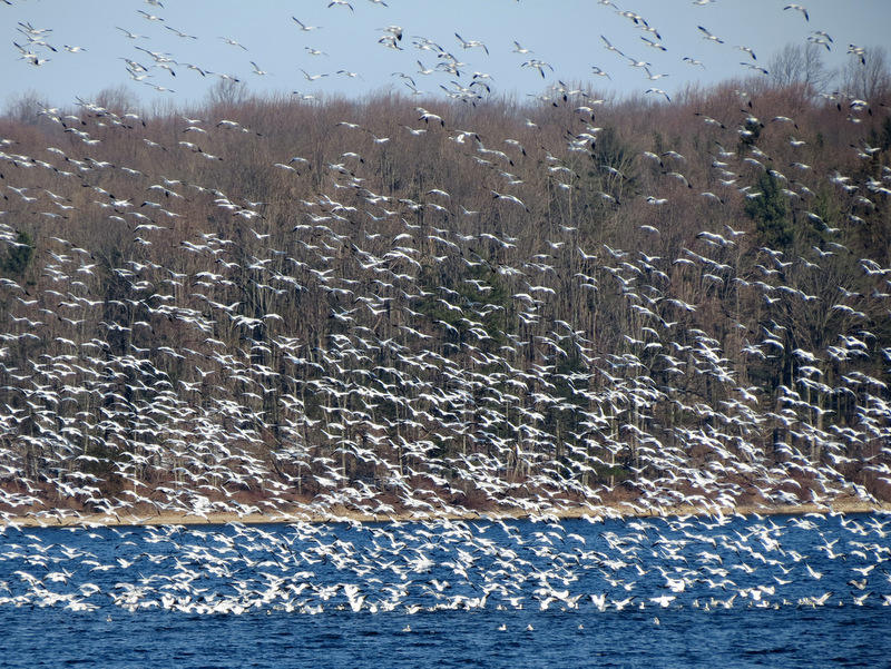 ... of snow geese ... |
 ... congregating |
 View south |
 More snow geese arriving |
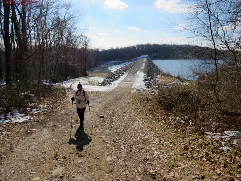
 Main Dam |
 View north |
 Slippery path |
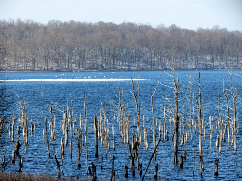 Sunken trees and snow geese |
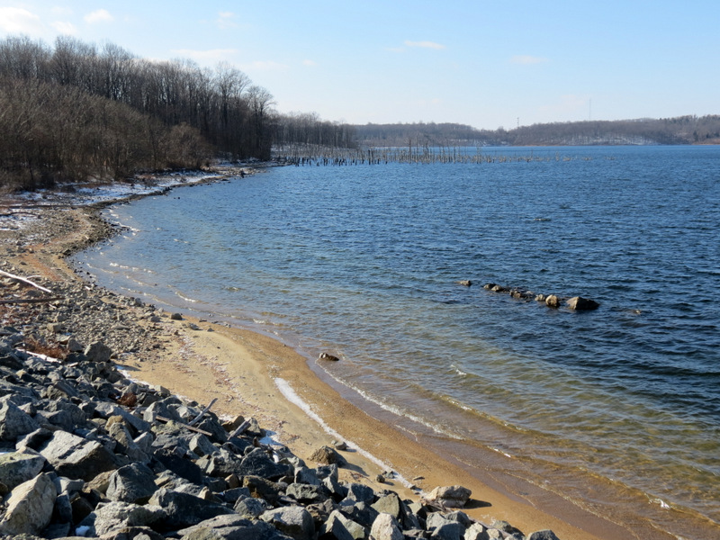 Shoreline |
 View to the gap |
 Visitor's center |
 SE Dike |
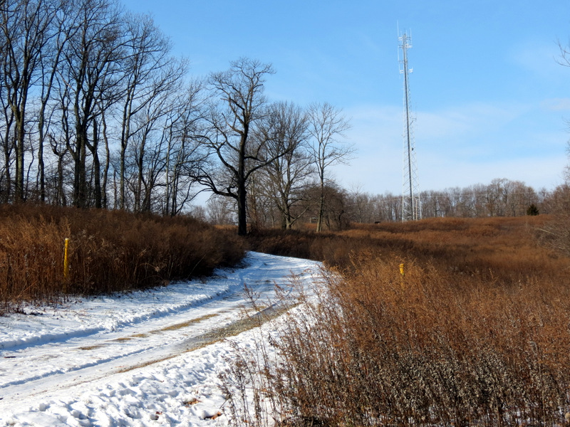
 Very slippery woods road |
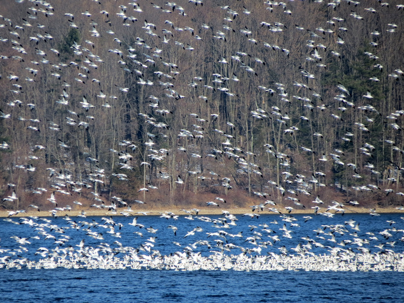
 Thousands more ... |
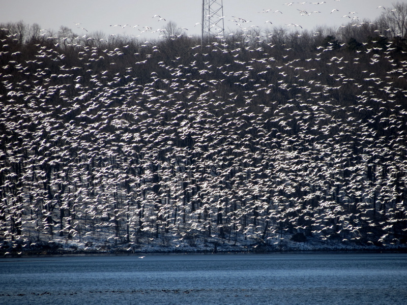 ... snow geese arriving |
 |
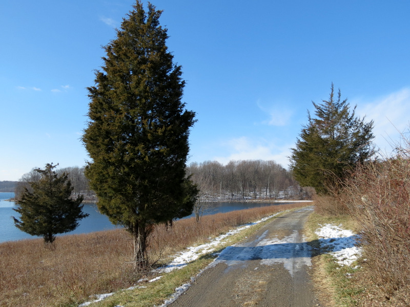 Lovely cedars |
 Birdhouse |
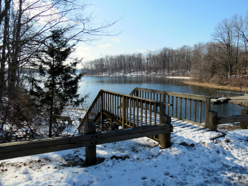 Deck at boat launch |
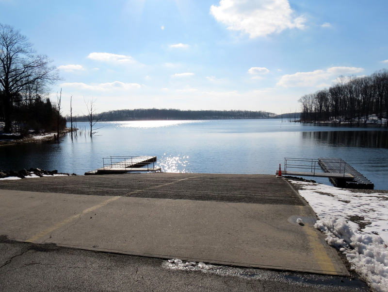 Boat launch |
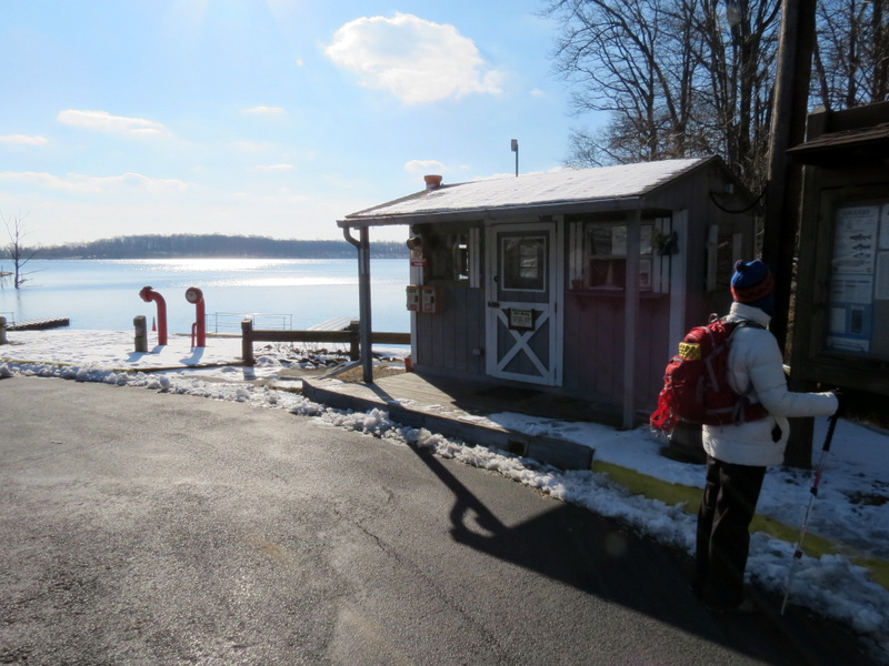 Attendant's hut |
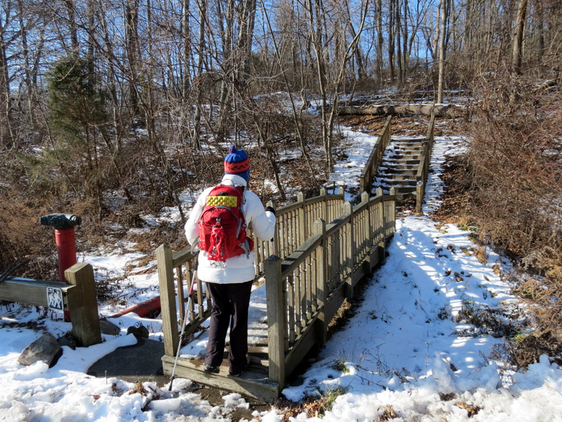 Stairs back to visitor's center |

|
|
Photographs and content copyright © Dan Balogh Web design by Dan Balogh |