 |
|
We last hiked this area in
2009, at that time following a short hike (2 miles) described on the
NY-NJ Trail Conference website. After finding a new map, which showed either new trails or trails we didn't notice last time, we
decided to head back and do some exploring once again.
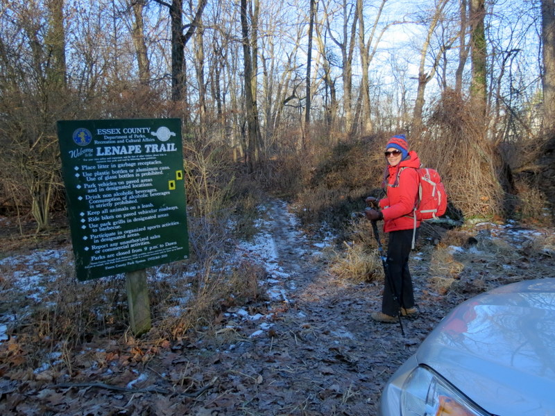
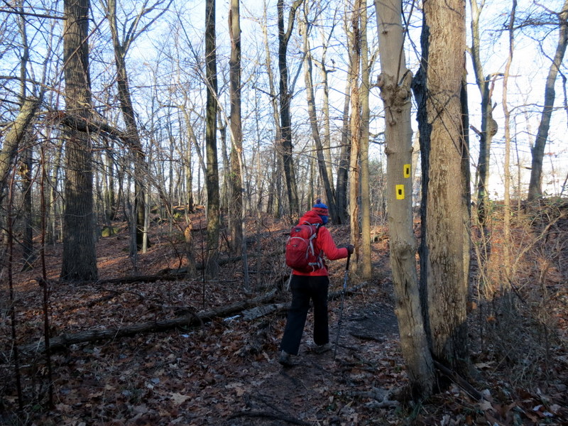
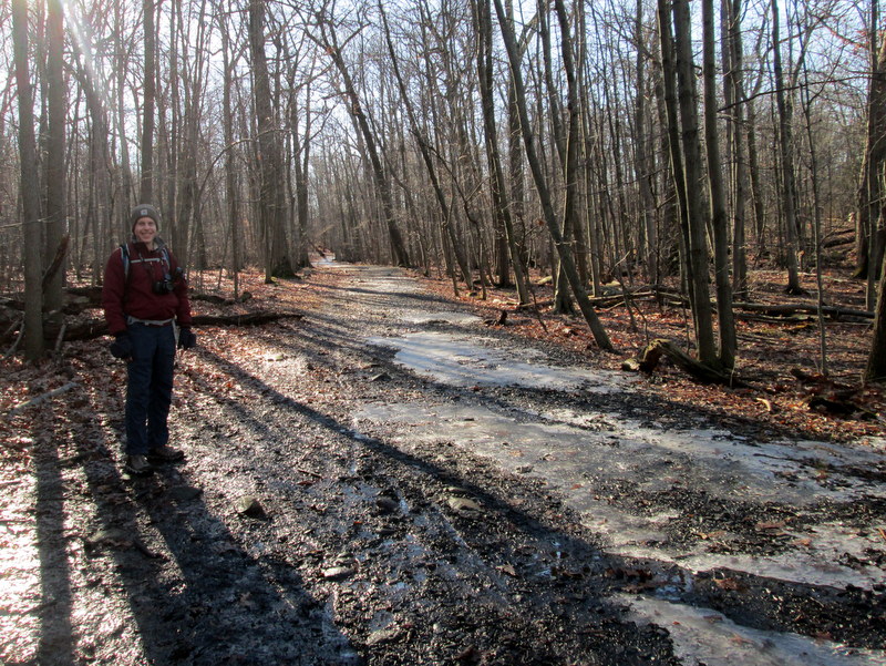
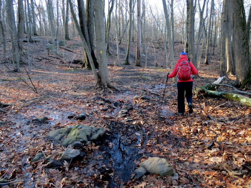
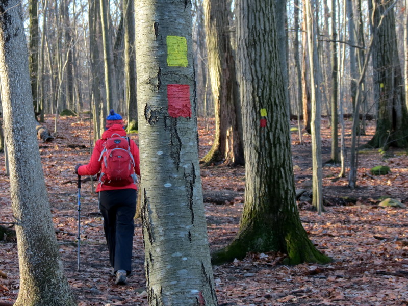
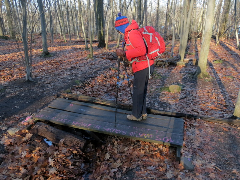
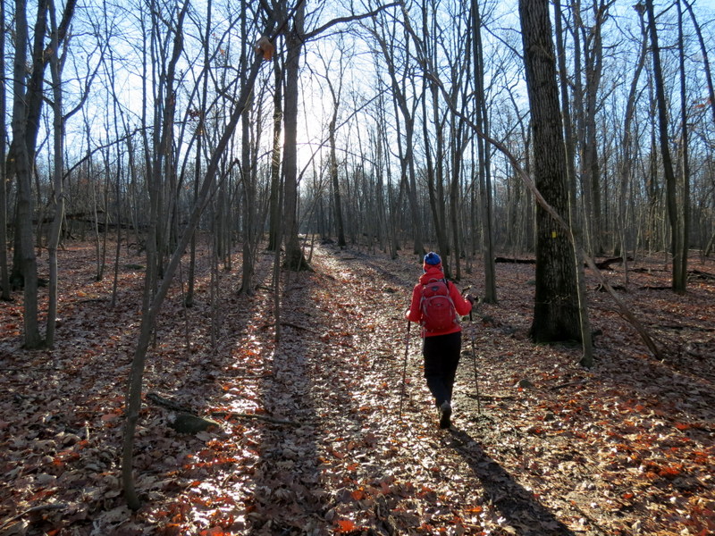
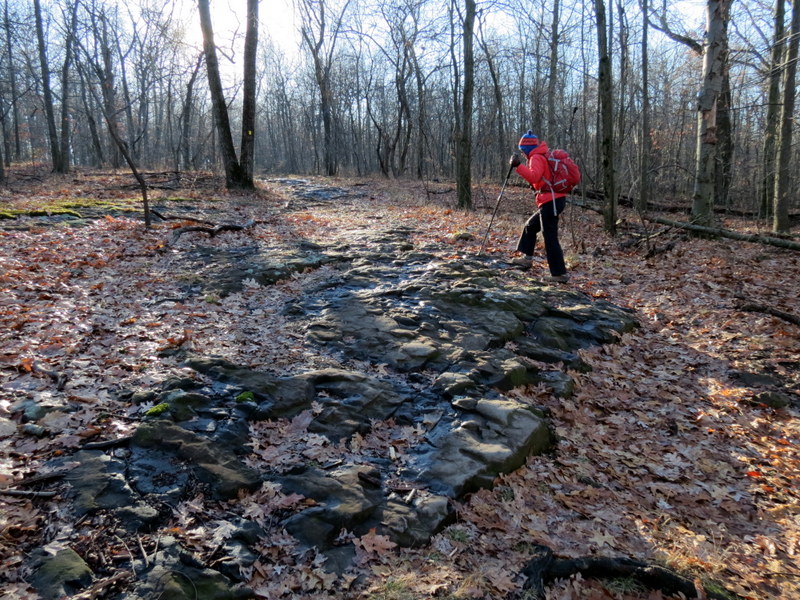
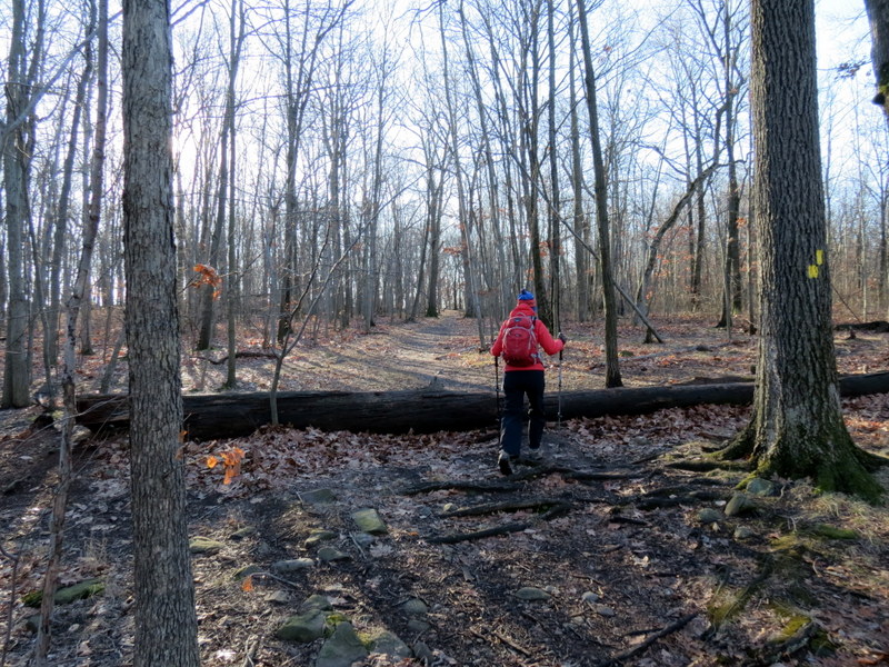
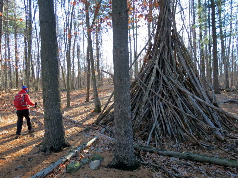
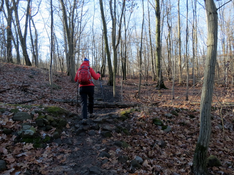
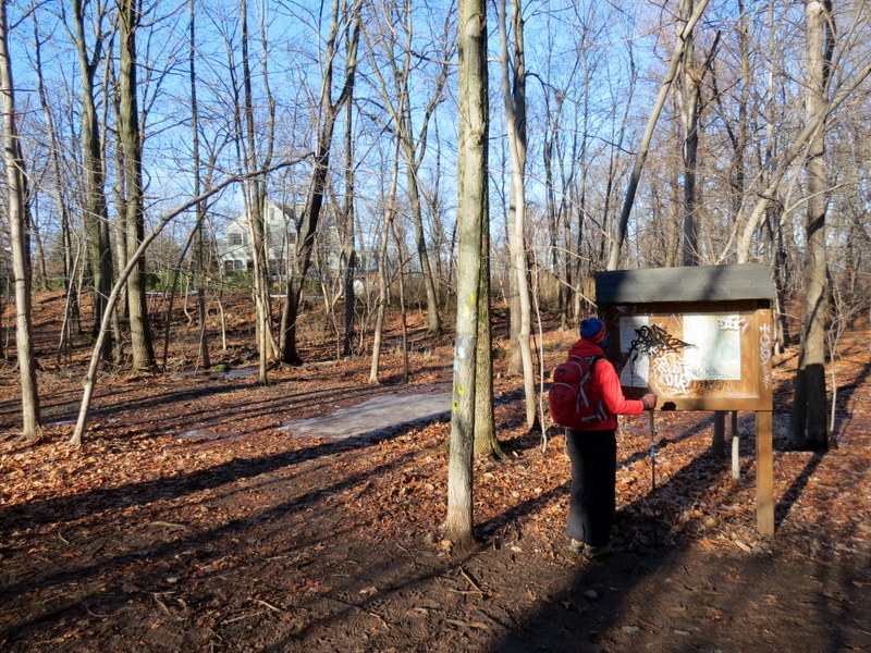
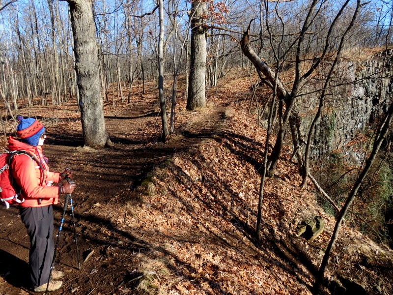
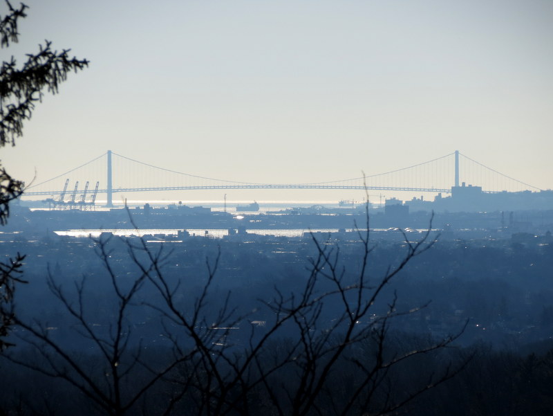
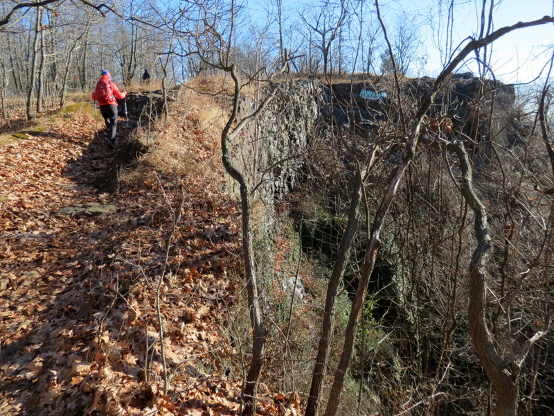
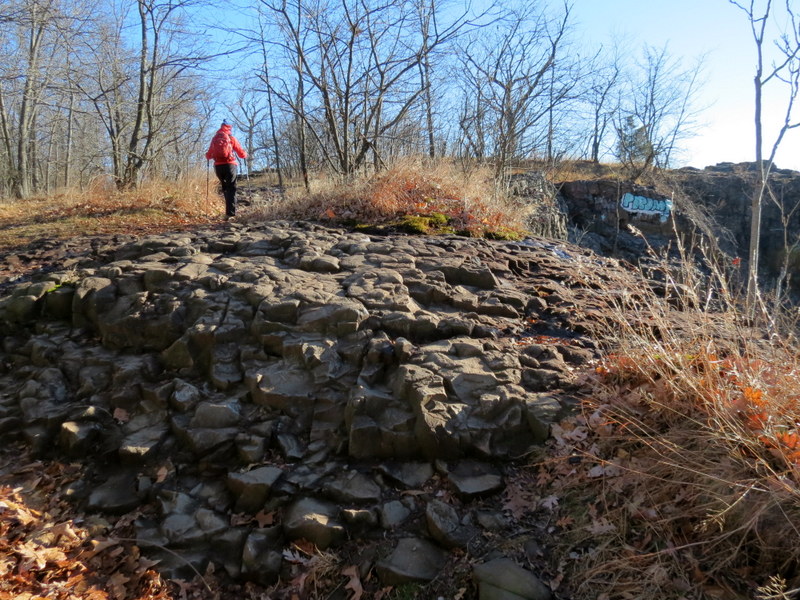
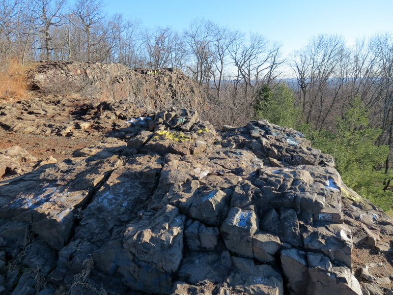
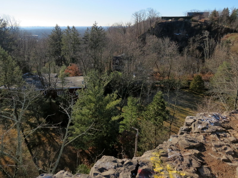
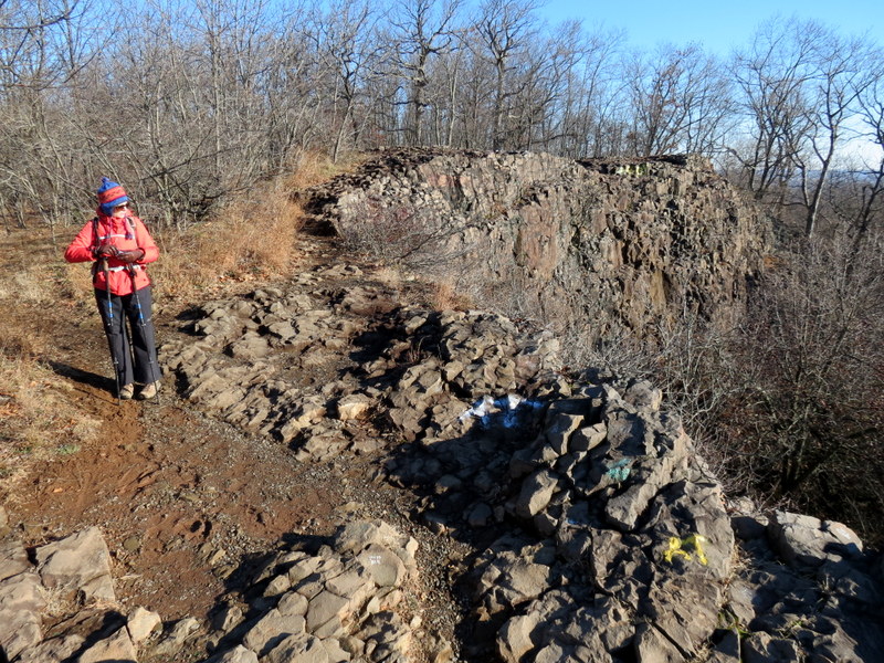
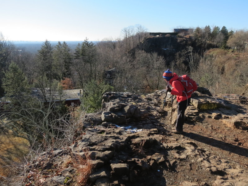
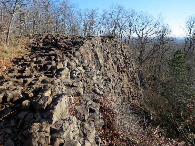
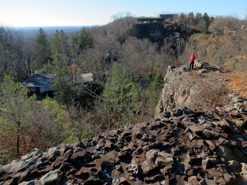
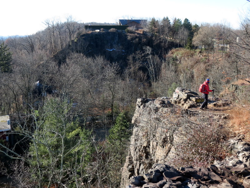
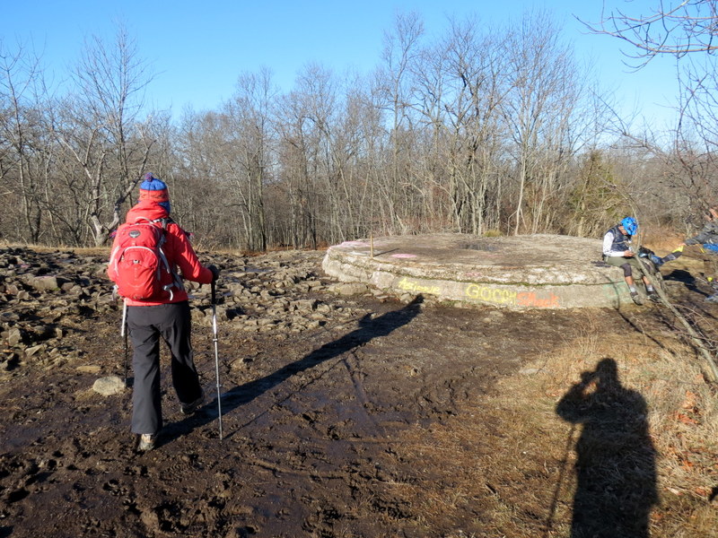
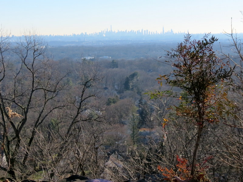
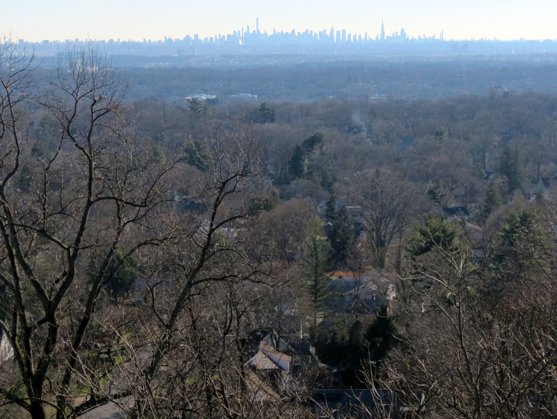
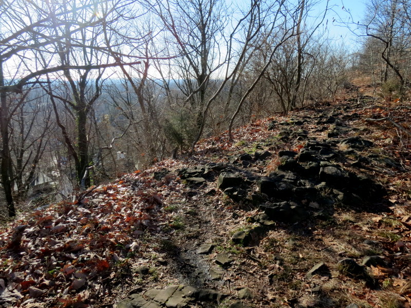
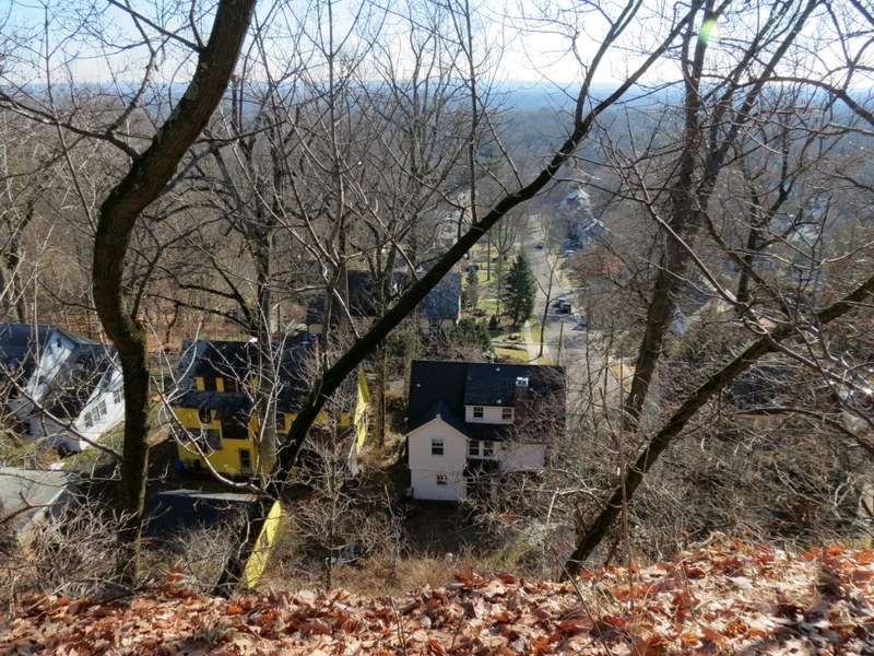
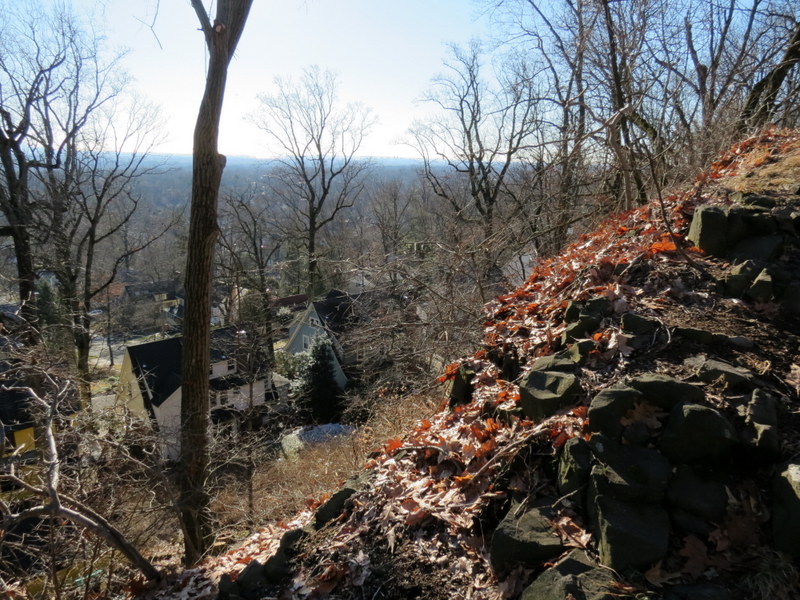
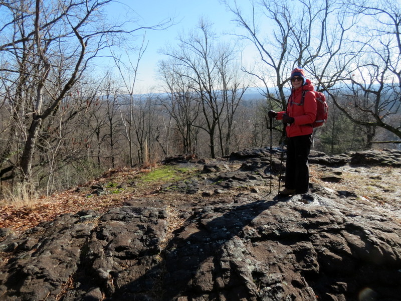
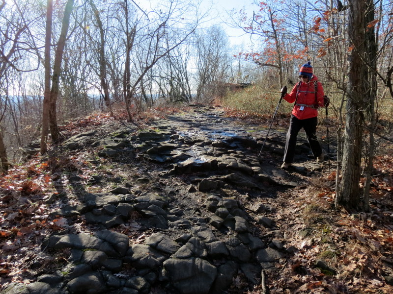
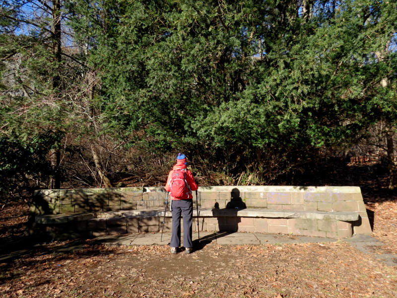
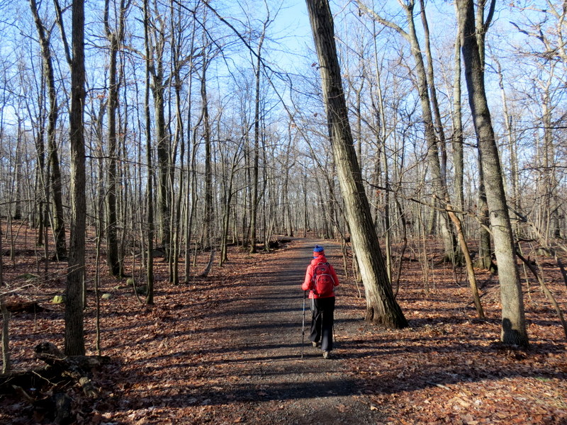
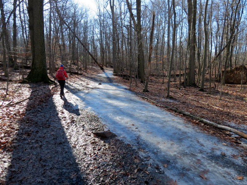
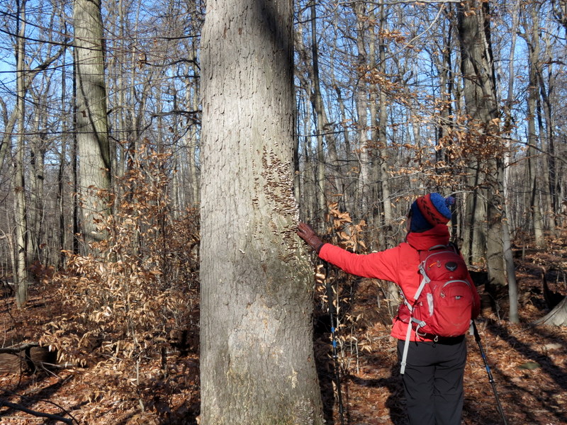
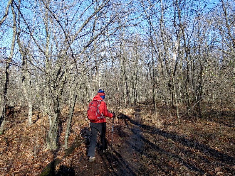
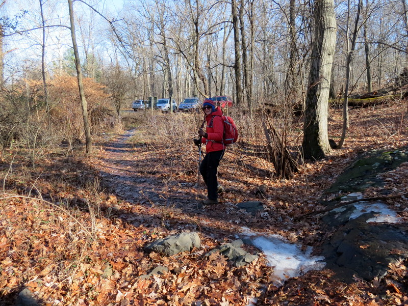
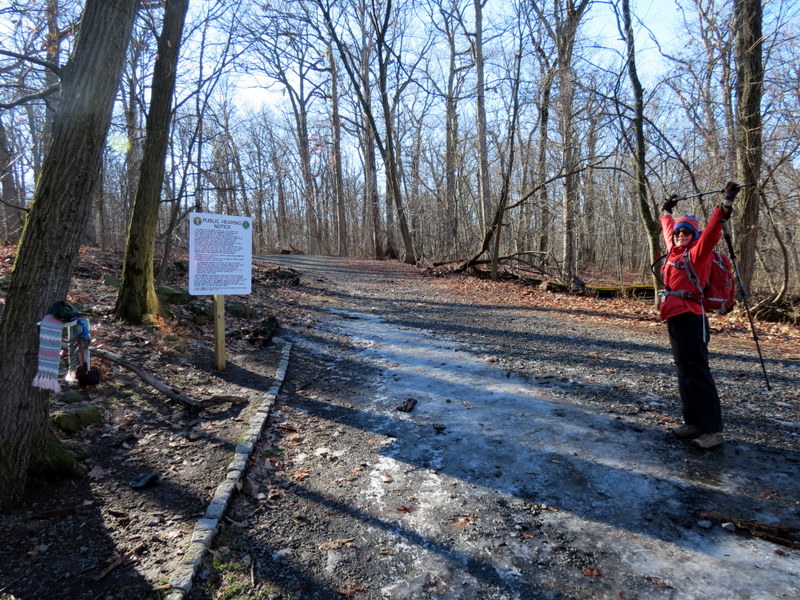
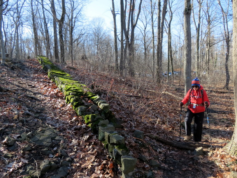
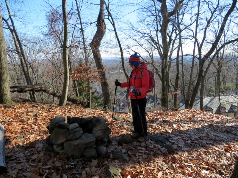
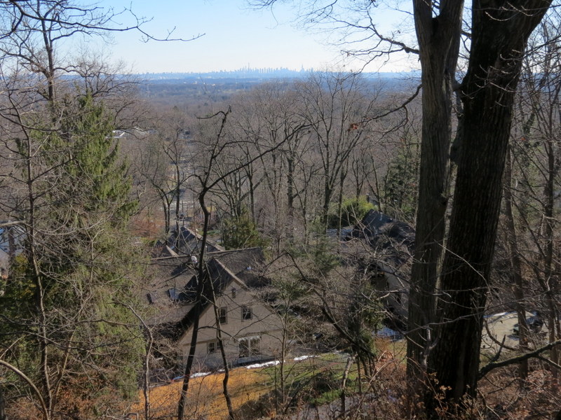
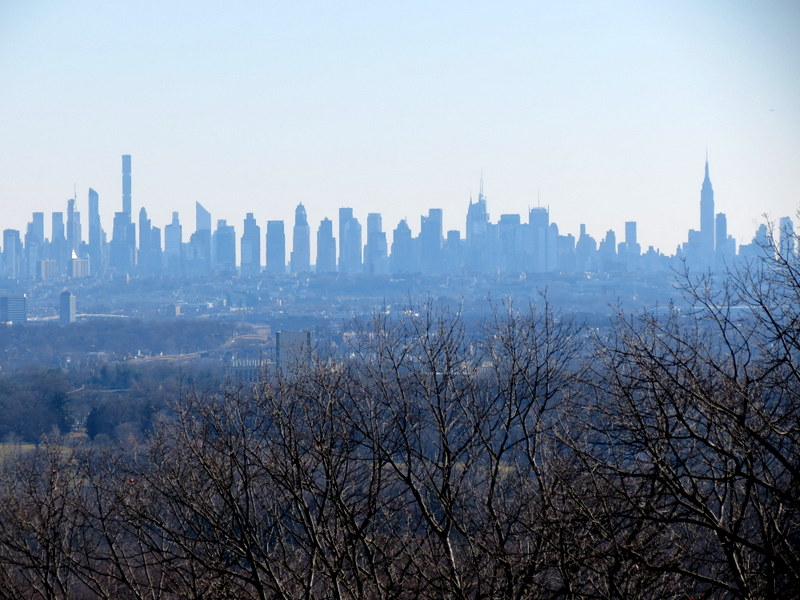
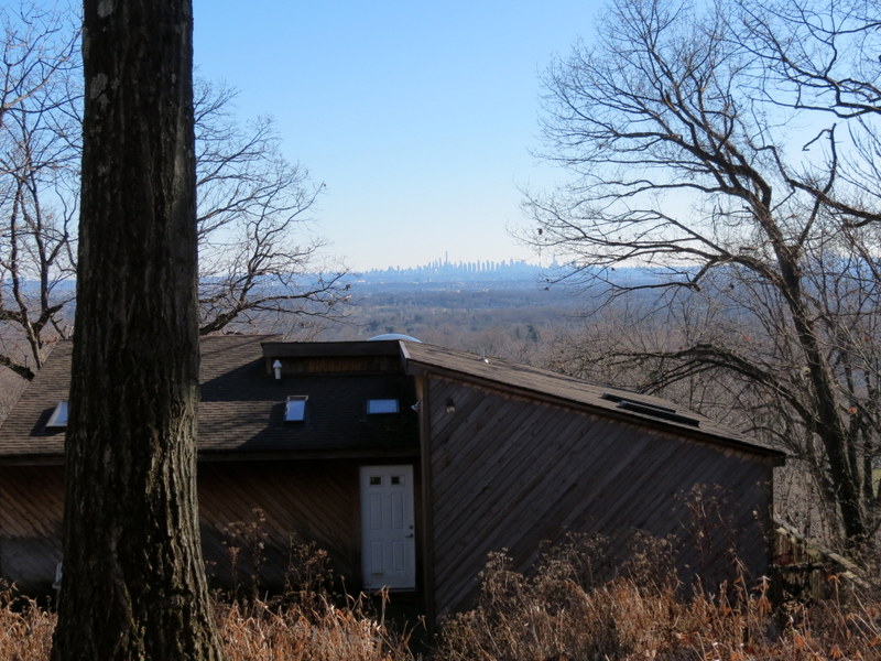
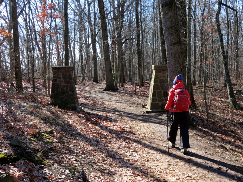
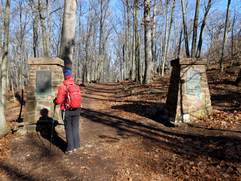
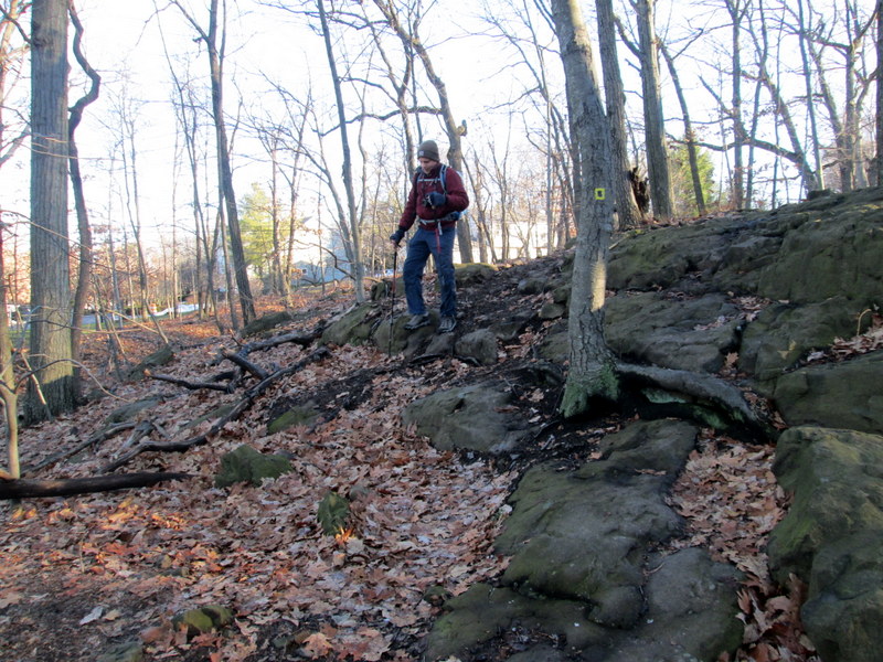
Using the map on the second page of this document, we parked in the lot on Normal Avenue (pretty normal by all accounts), and headed west on the Lenape connector trail. Reaching the Lenape trail we headed south (at this point, not on the map, you can also go north and pass the northern tip of the reservoir). We hiked the entire section of the Lenape in the park before doing the White Loop, then the Orange segment, then part of the Blue trail. It's a bit difficult to describe here, but you can see our track here. Total distance hiked today was just under 5 miles in just under 3 hours.
|
 |
 |
 |
 |
 |
 |
 |
 |
 |
 |
 |
 |
 |
 |
 |
 |
 |
 |
 |
 |
 |
 |
 |
 |
 |
 |
 |
 |
 |
 |
 |
 |
 |
 |
 |
 |
 |
 |
 |
 |
 |
 |
 |
 |
 |
 |
 |
 |
 |
 |
 |
 |
 |
 |
 |
 |

|
|
Photographs and content copyright © Dan Balogh Web design by Dan Balogh |