 |
|
We hiked this rugged area way back in 2005 and 2008. Since the most recent time was fourteen years ago, we decided to head back and try to hike some
trails we hadn't hiked before.
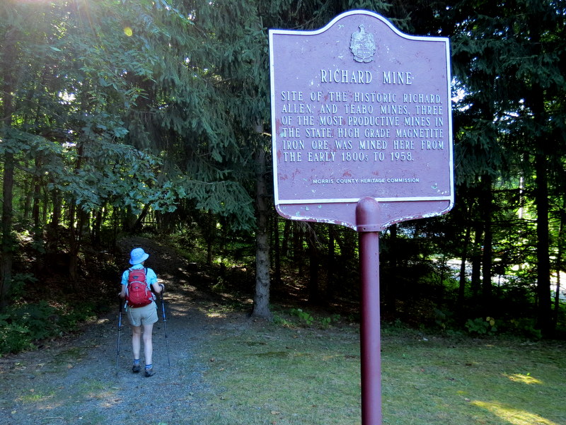
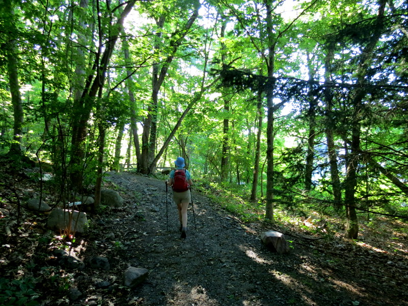
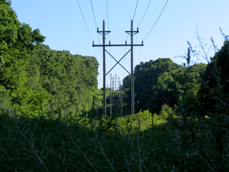
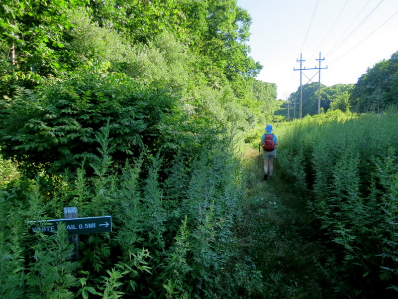
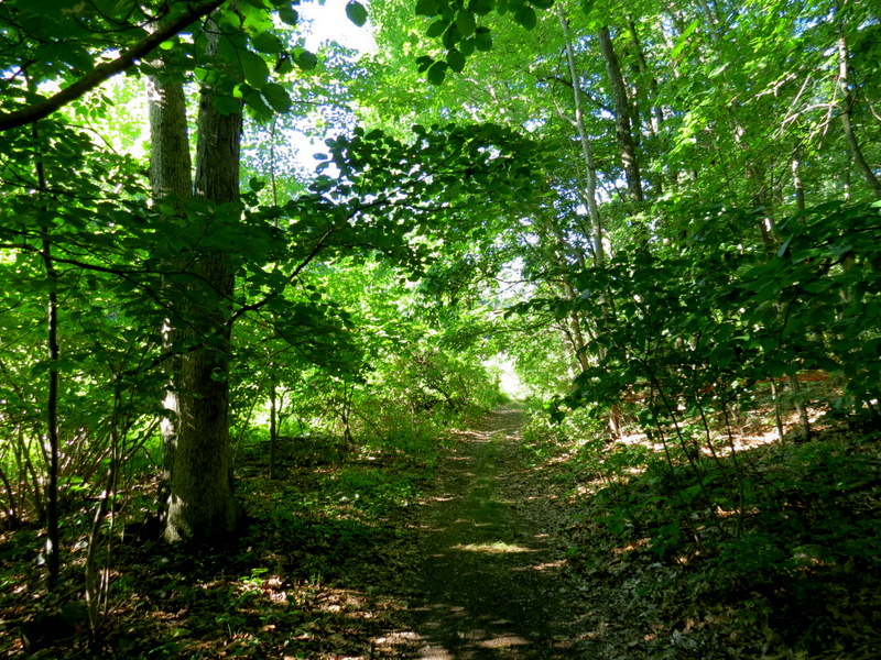
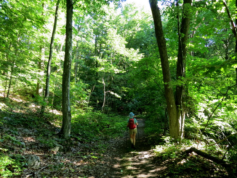
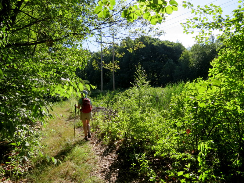
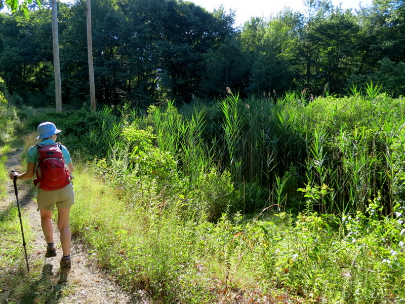
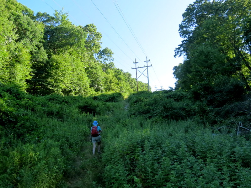
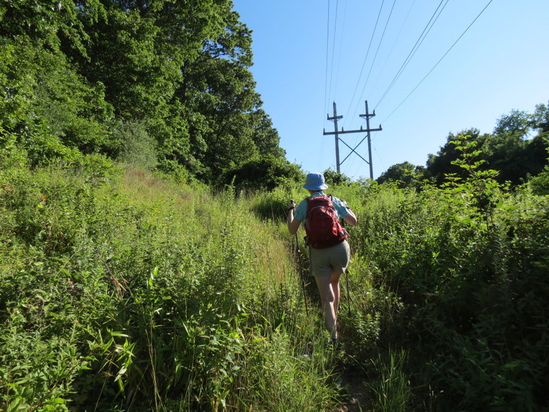
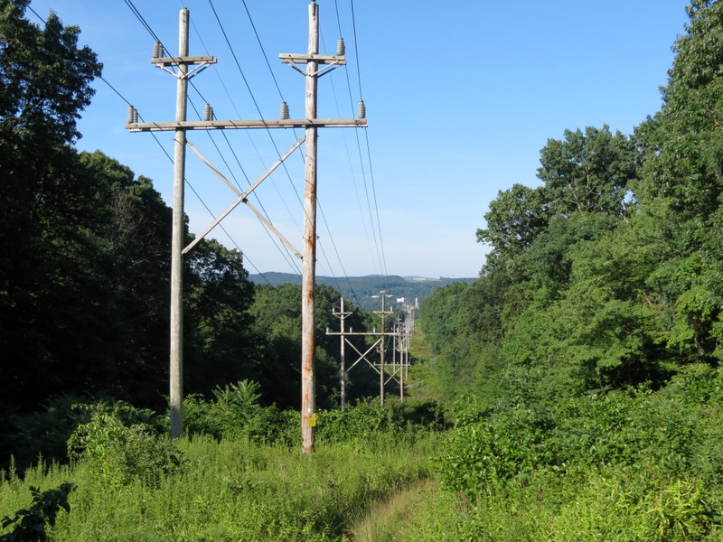
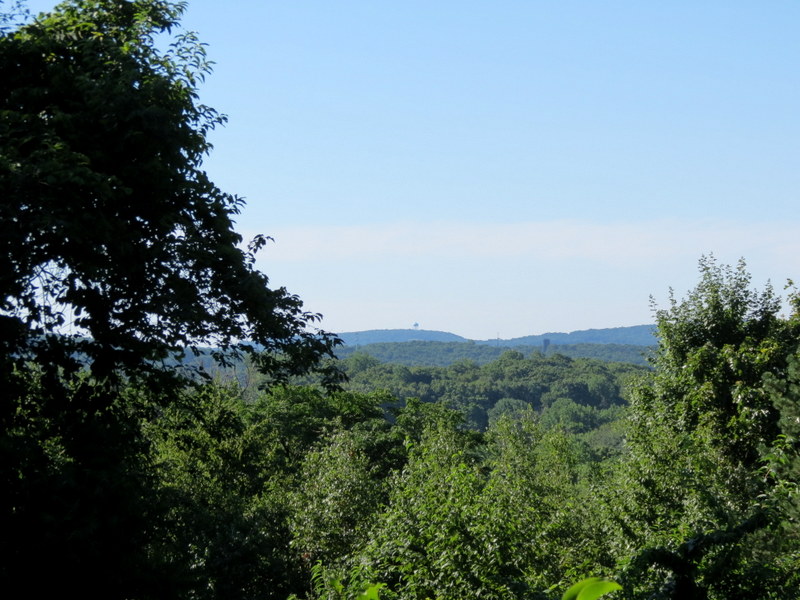
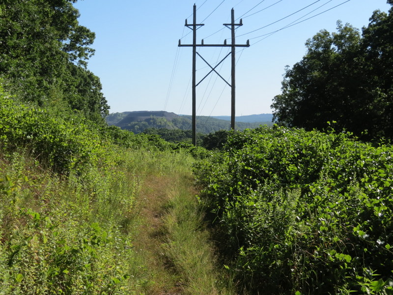
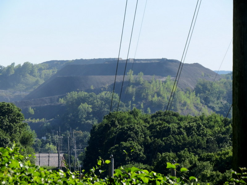
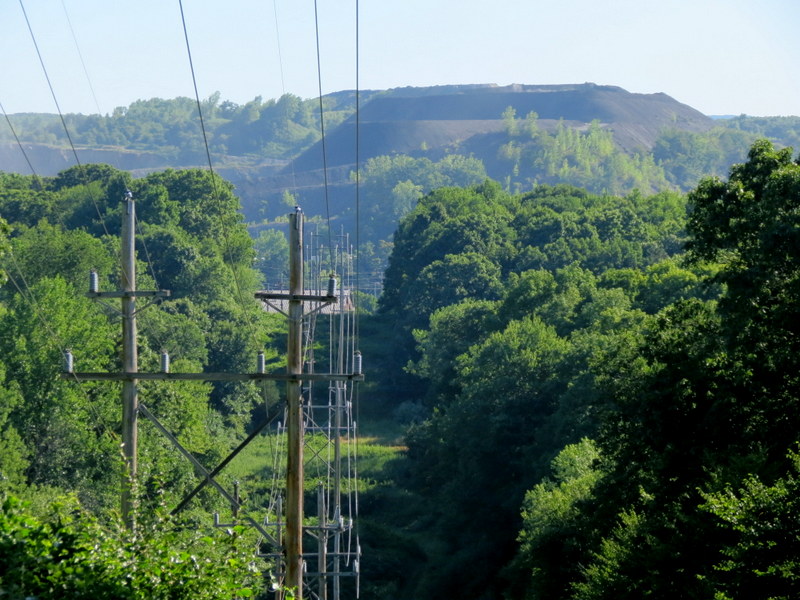
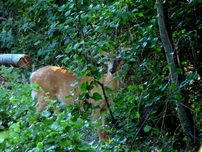
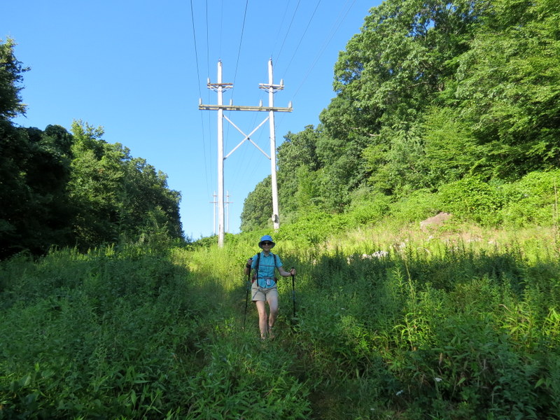
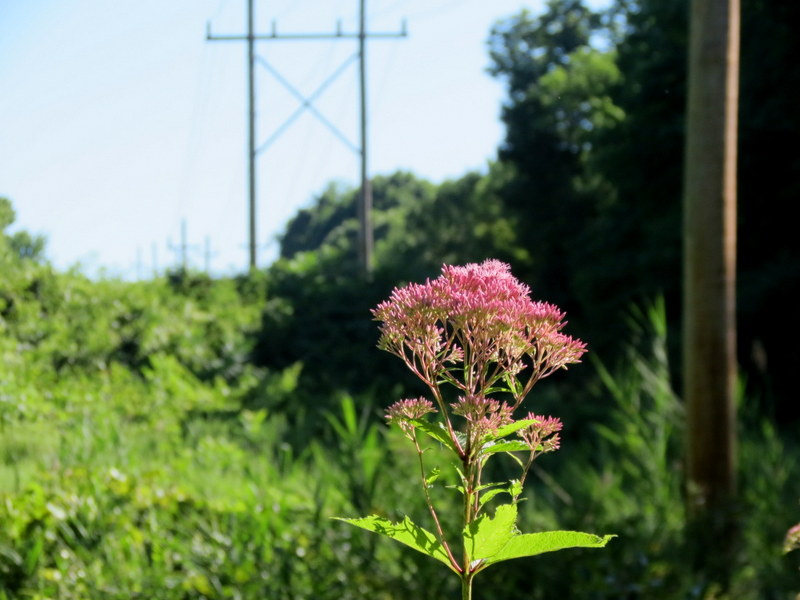
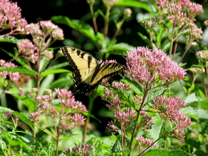
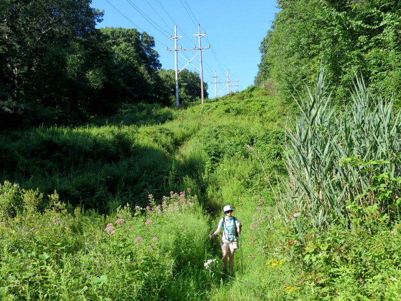
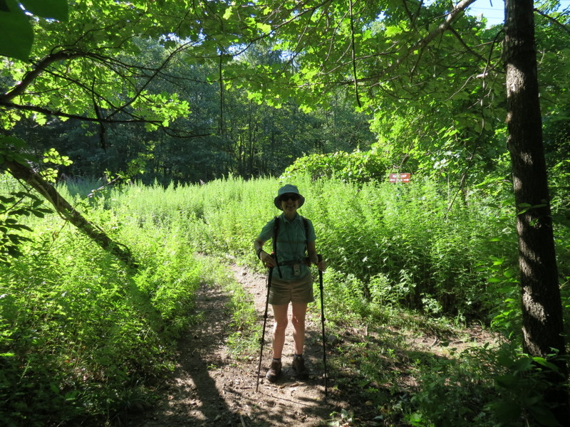
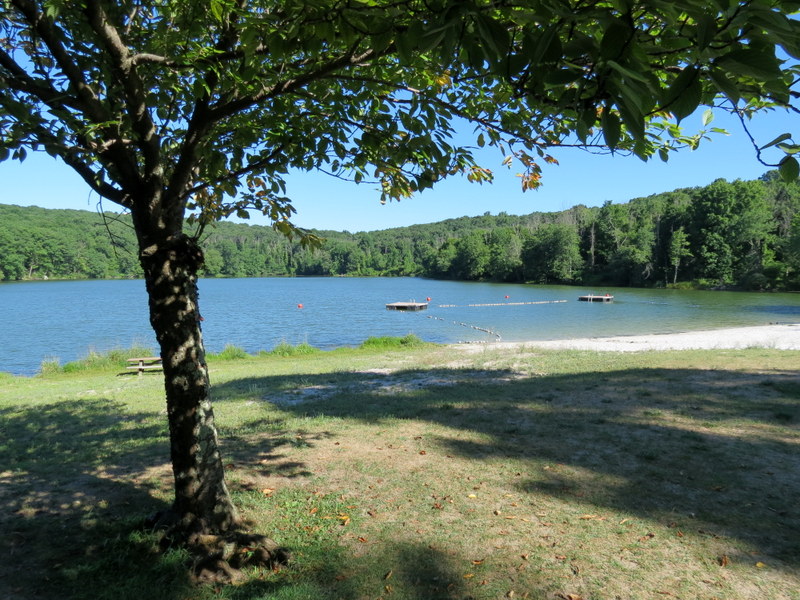
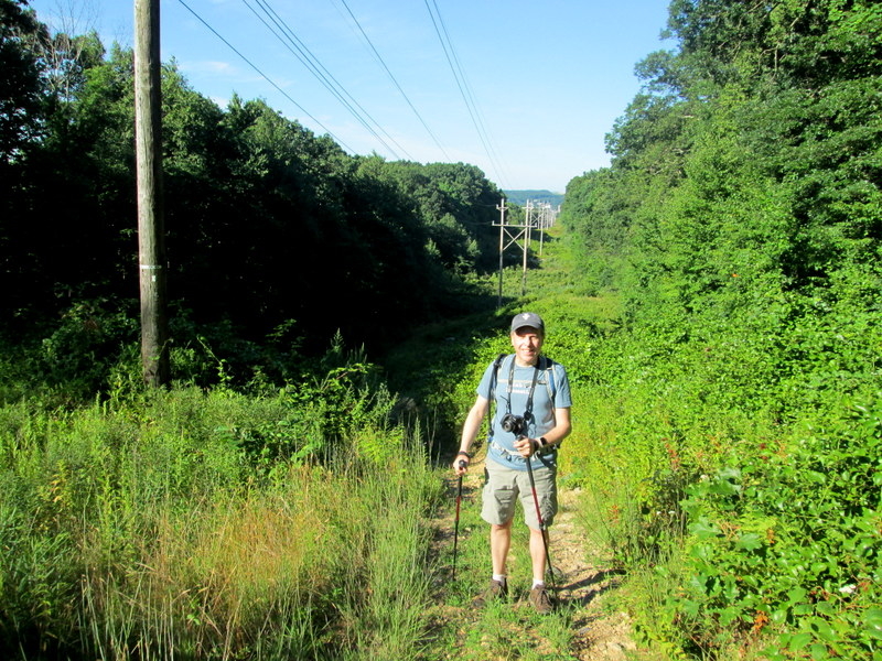
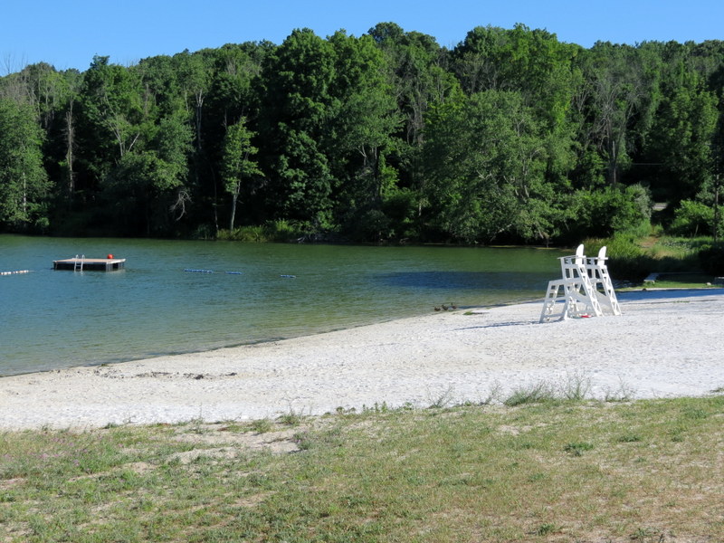
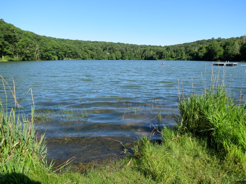
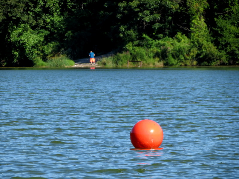
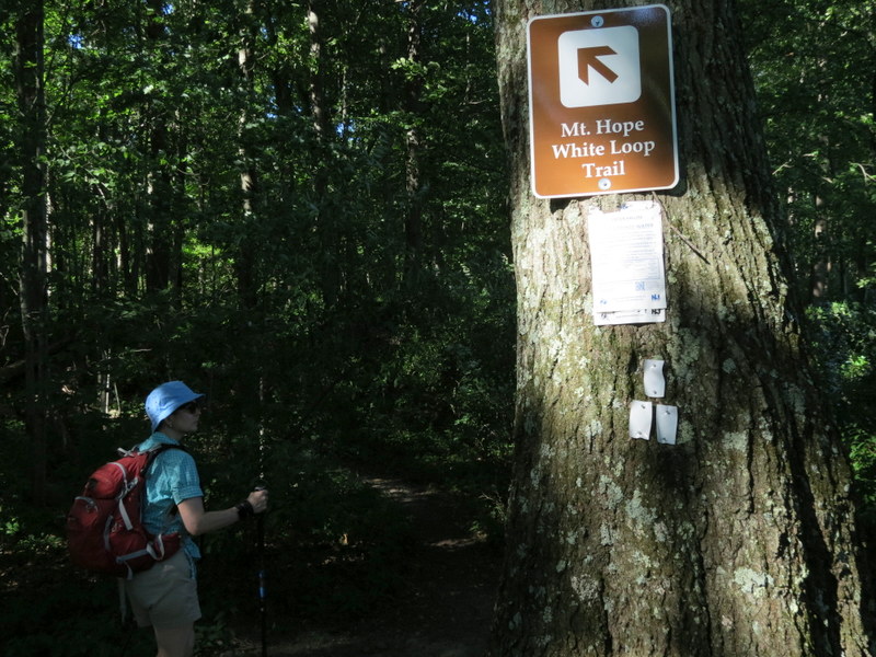
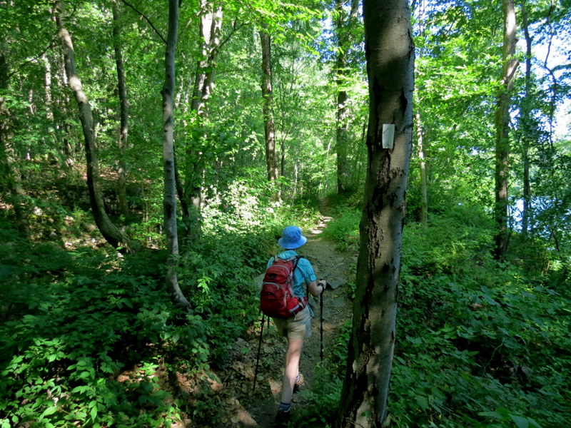
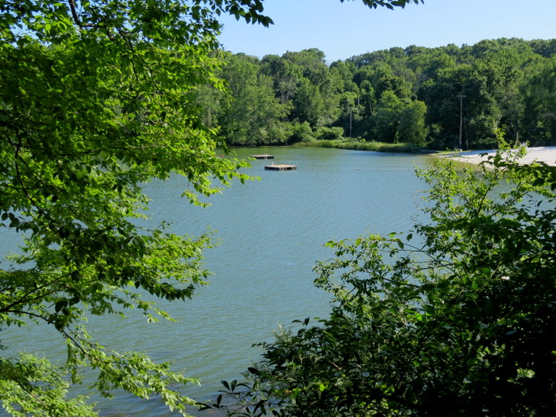
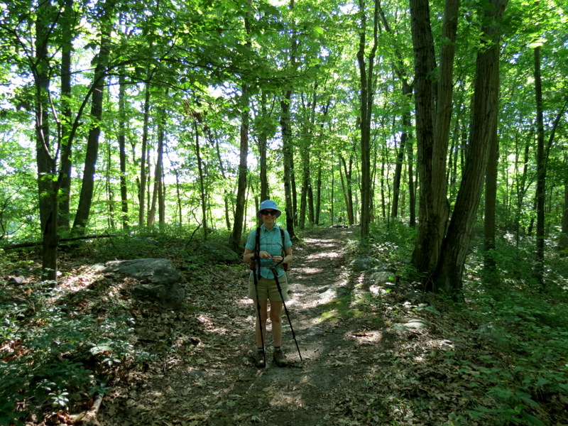
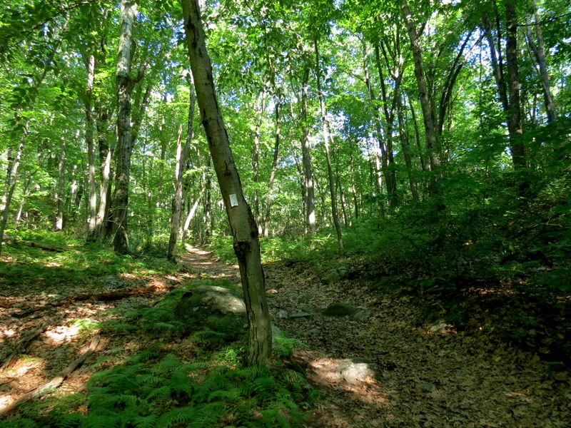
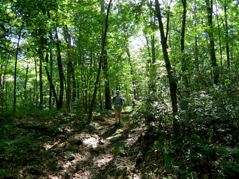
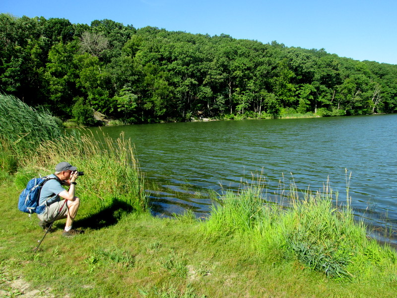
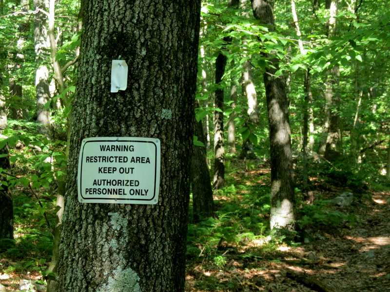
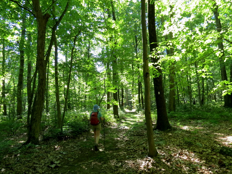
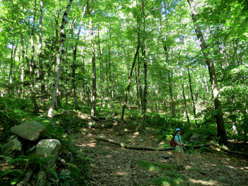
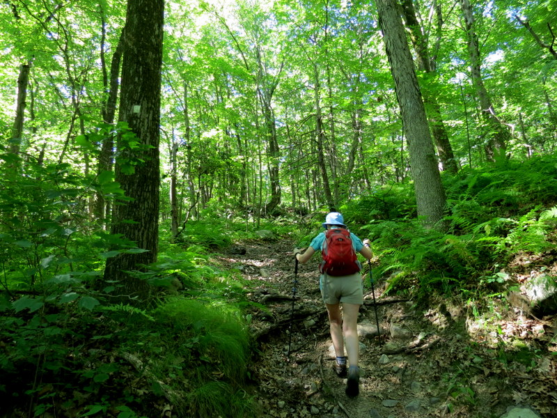
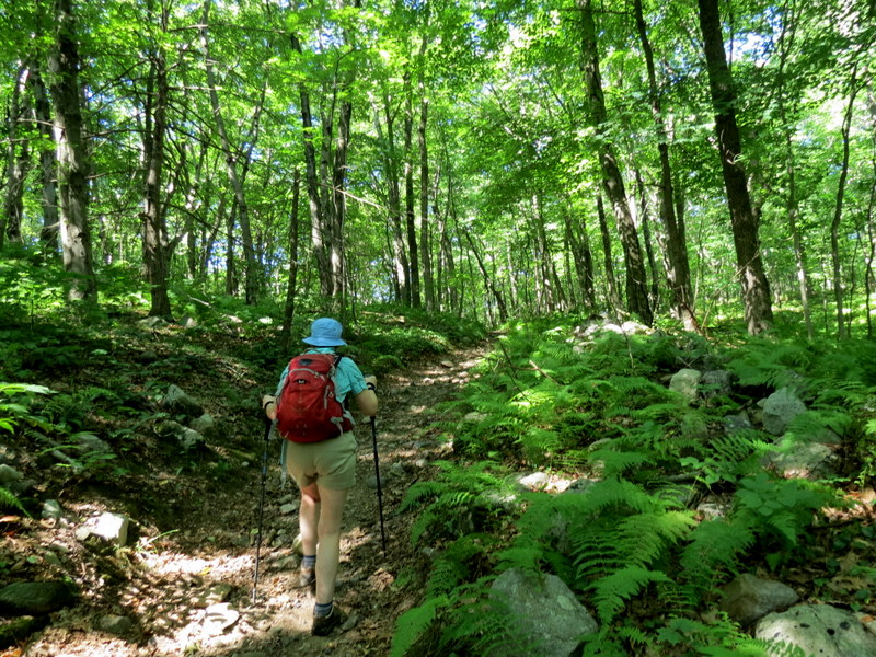
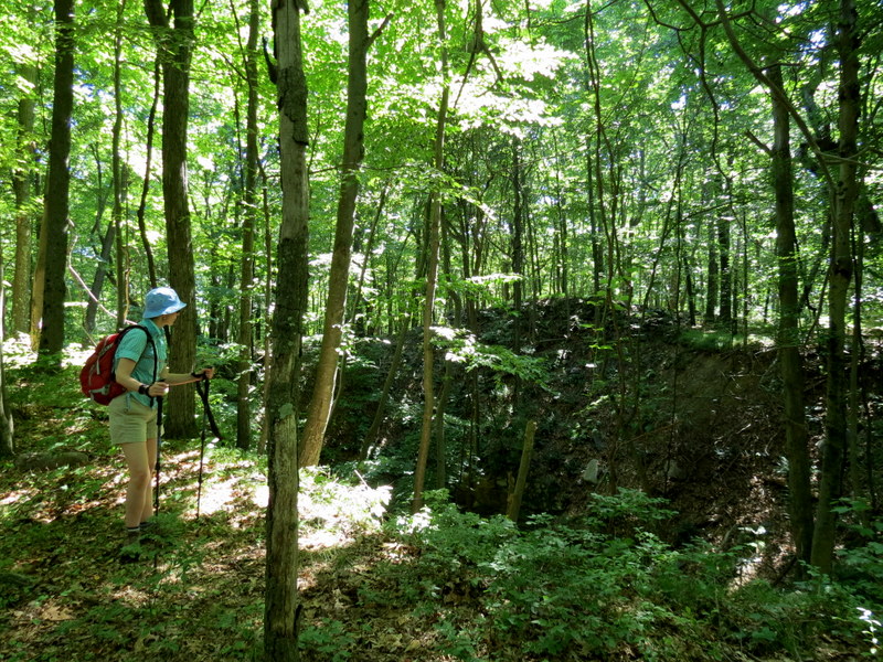
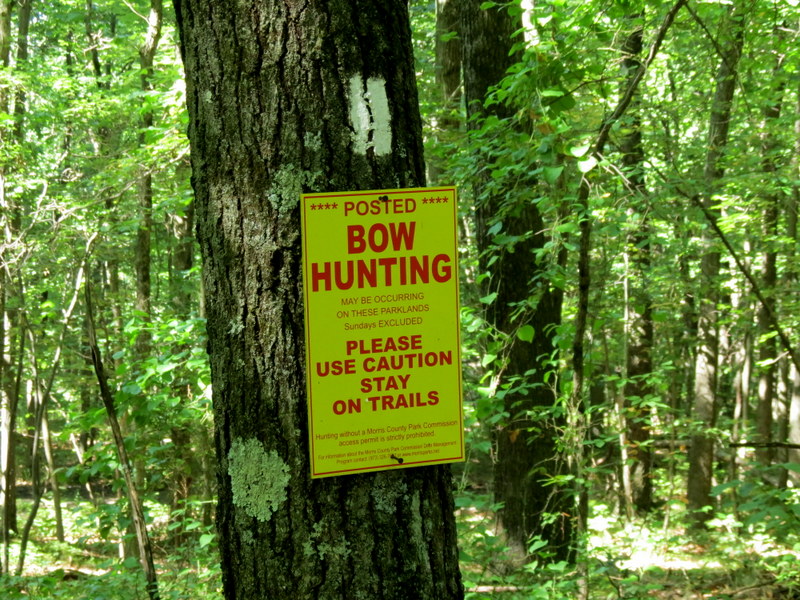
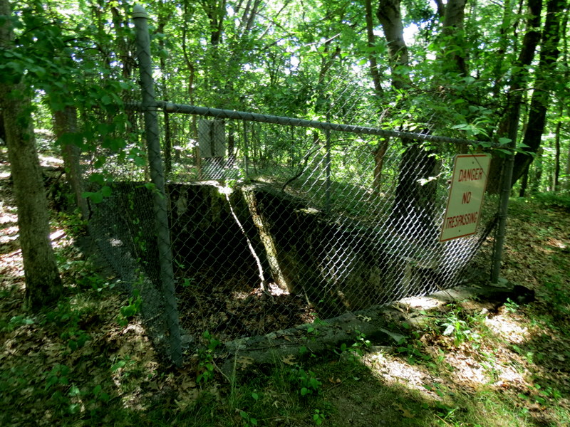
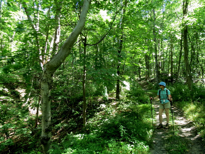
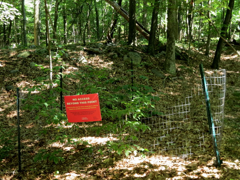
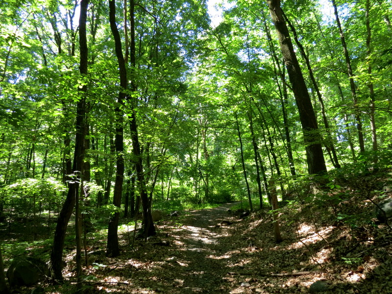
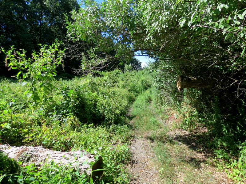
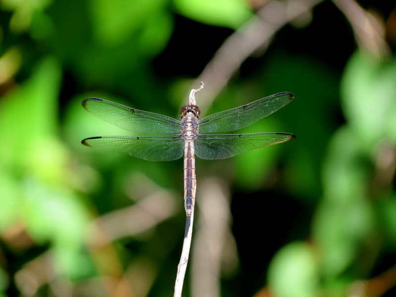
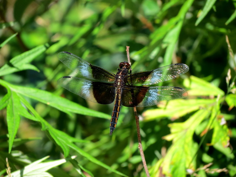
We used Map 125 "Morris County Highlands" from the New York-New Jersey Trail Conference, since much of what we hiked today is not on the offical park map here. We parked in the large lot on Teabo Road and headed NE on the white-blazed trail. This part was new for us, a narrow, slightly-overgrown path mostly in the powerline cut with views to the northeast and southwest. We next took a woods road to Mt. Hope Pond, which we had never done, before heading back SE on White. First, though, we followed a woods road, also blazed in White, though shown as unblazed on the 2022 NYNTC map, which headed into Picatinny Arsenal territory. From the map, it may end at the northern bank of the Pond. We turned back before then, though, because we surmised it was a private trail at this point. Total distance hiked today was 2.5 miles in exactly 2 hours. (Click on the thumbnail to bring up a bigger image in a pop-up window)
|
 |
 |
 |
 |
 |
 |
 |
 |
 |
 |
 |
 |
 |
 |
 |
 |
 |
 |
 |
 |
 |
 |
 |
 |
 |
 |
 |
 |
 |
 |
 |
 |
 |
 |
 |
 |
 |
 |
 |
 |
 |
 |
 |
 |
 |
 |
 |
 |
 |
 |
 |
 |
 |
 |
 |
 |

|
|
Photographs and content copyright © Dan Balogh Web design by Dan Balogh |