 |
|
I had never heard of this area until my friend Shawnee, and her human companion Daniela, hiked this enchanting and quite varied area
last week. But unlike Shawnee & Daniela who ventured onto
the trails of Princeton Day School and Woodfield Reservation across Great Road, we focused on the area bounded by Mountain Avenue, Cherry Hill Road, Stuart
Road and Great Road.
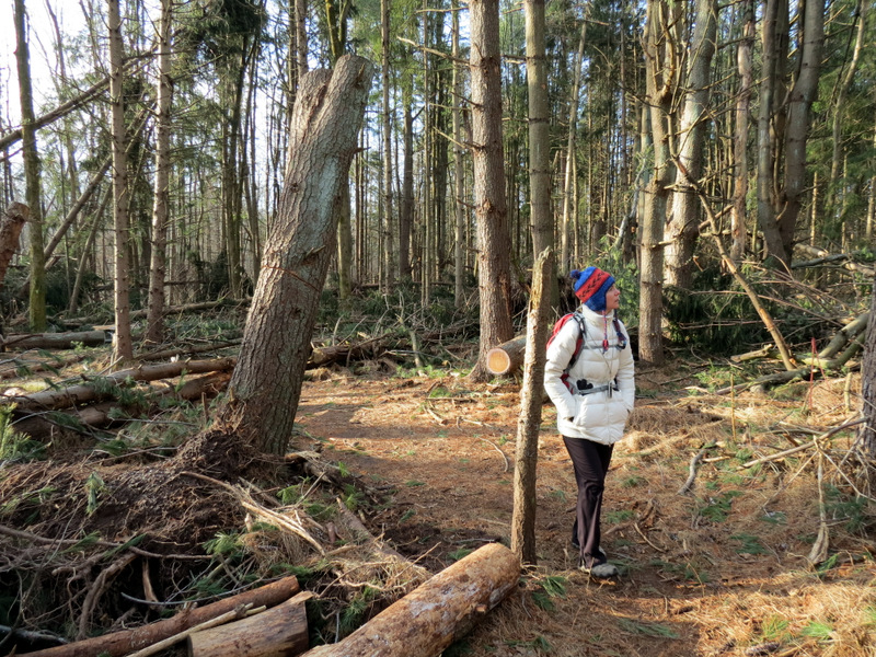
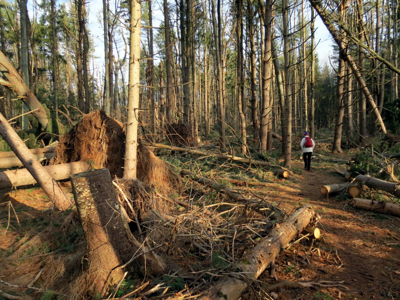
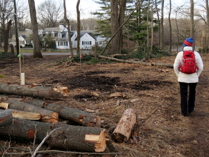
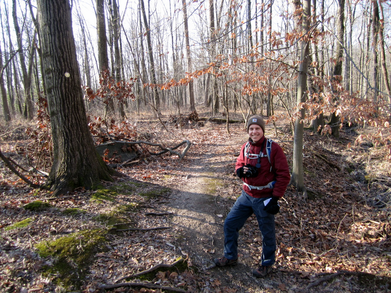
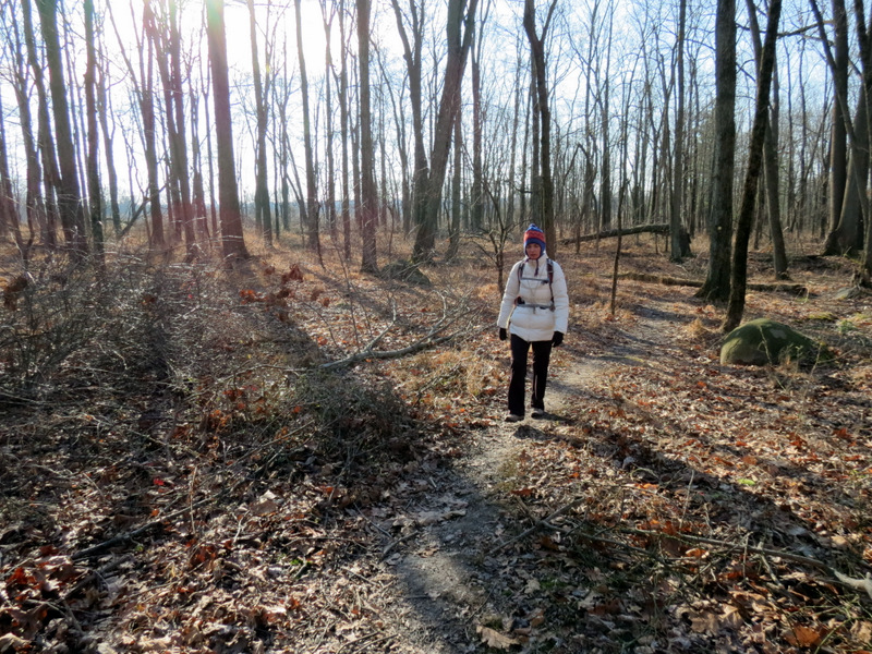
Parking in the large parking lot on Mountain Avenue, and using this map we covered nearly 5 miles in a hike too complicated to describe here. Suffice it to say, this map is very accurate and with the very good blazing and excellent signs at so many trail intersections, it's very difficult to get lost. So instead of trying to follow the hike we did, venture forth where you can easily cover Community Park North, John Witherspoon Woods, Mountain Lakes North and Mountain Lakes. We even added a walk along the impressive boardwalk south of Coventry Farm. One thing you will notice is that Hurricane Sandy obliterated sections of this park, and yet the park is open! For instance, the area just north of the parking lot, in Community Park North seems to have more fallen pines than pines standing. It literally feels like a war zone. The same is true for the area northeast of Mountain Lakes House, another war zone. It's a miracle that any trail in this park is open, and yet all of them are. Total distance covered was nearly 5 miles in just over 2.5 hours.
|
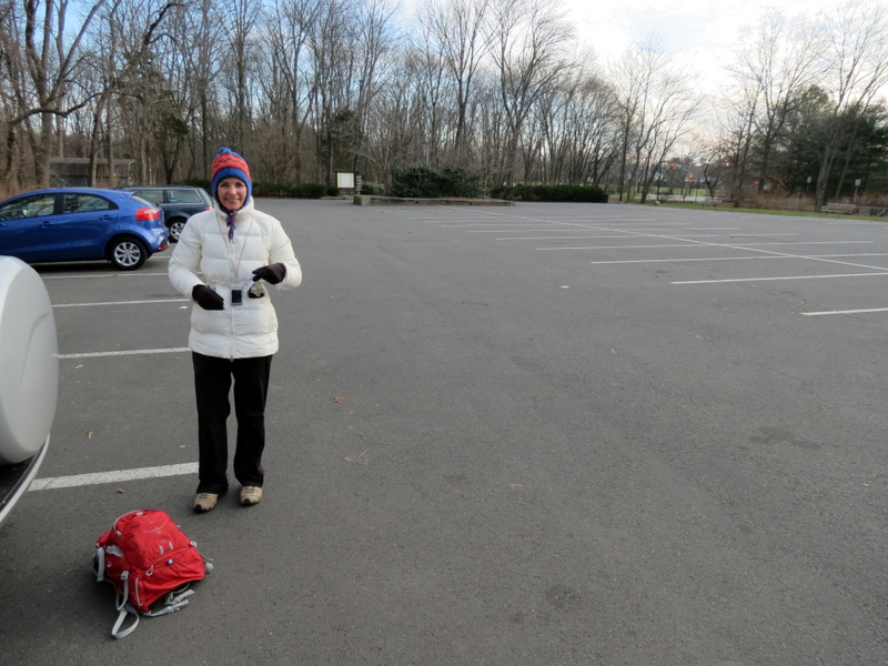 Large parking lot |
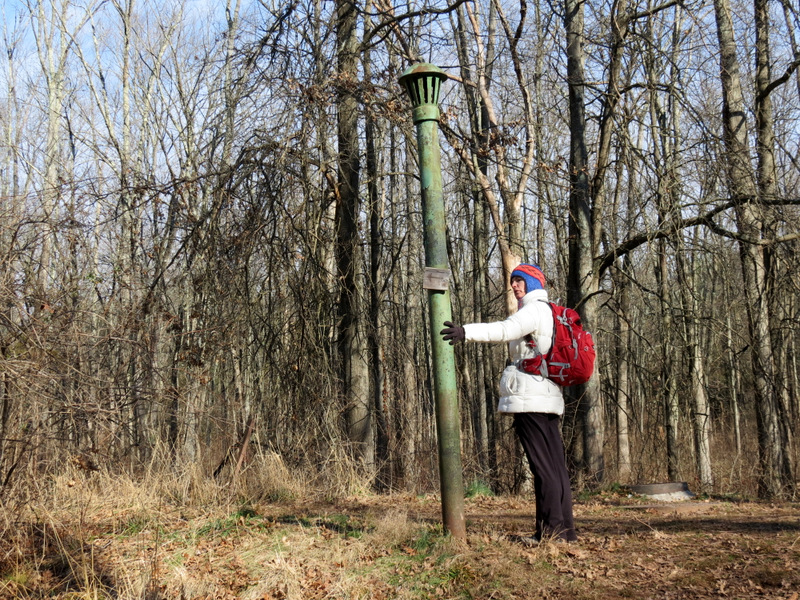
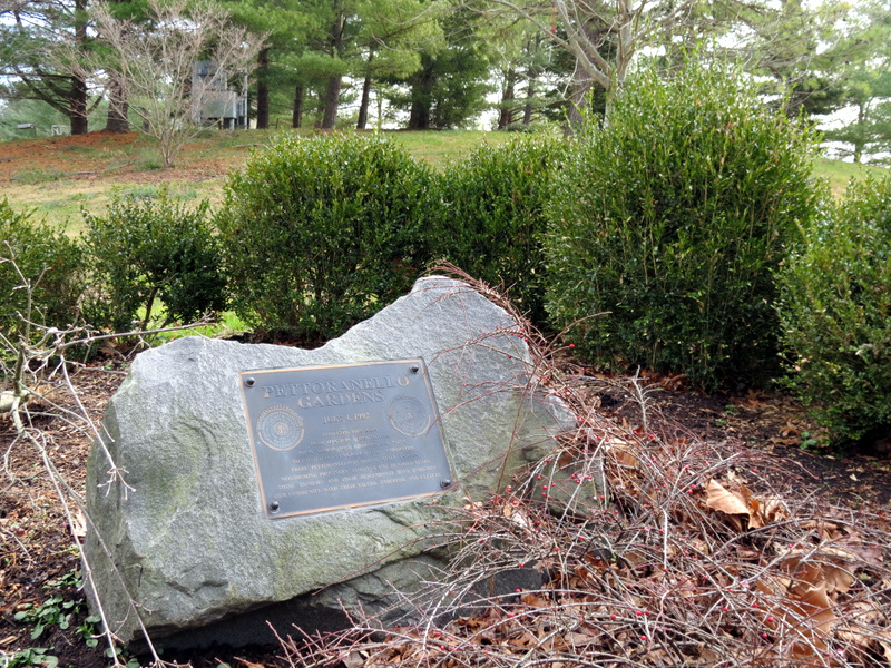 Garden marker |
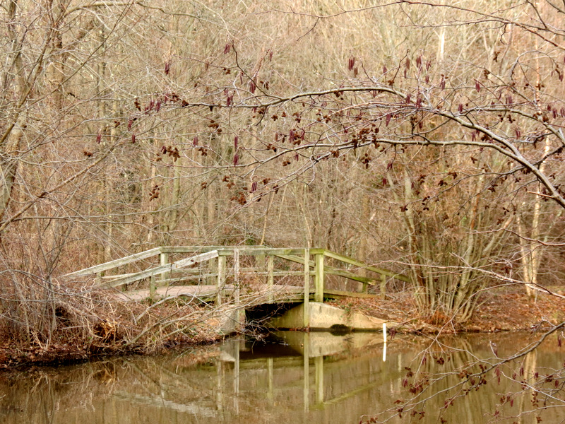 Bridge at lake |
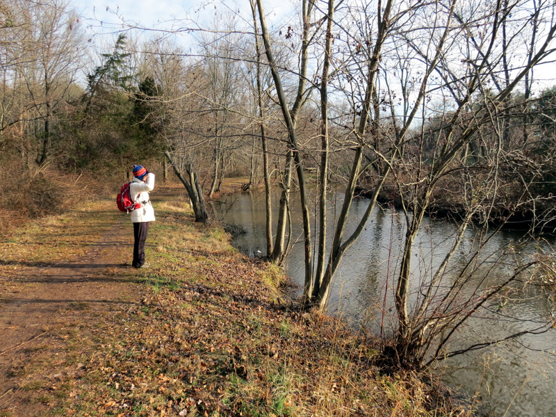
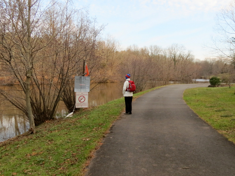 Bicycle path along lake |
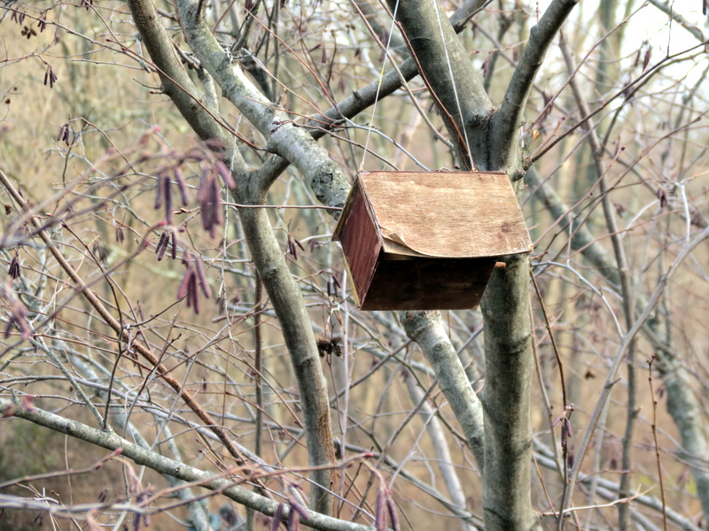
 Oh my! |
 |
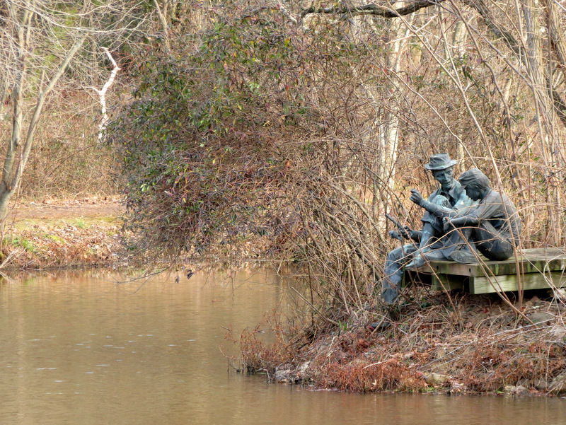 Sculpture on island in lake |
 Flock of Seagulls! |
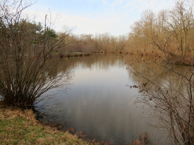 Unnamed lake |
 Unamed photographer [photo by Laura] |
 Path north of lake |
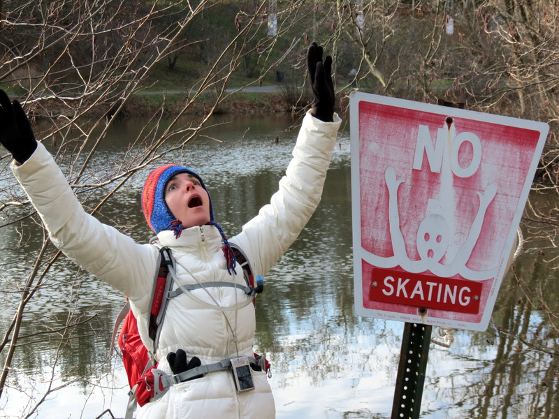 Skating tomfoolery |
 |
 |
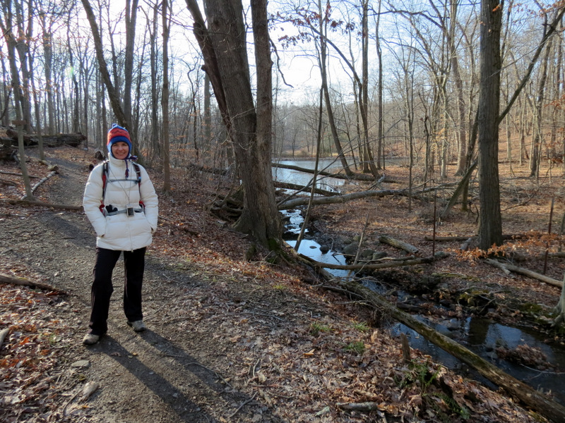
 Laura on previously-mentioned bridge |
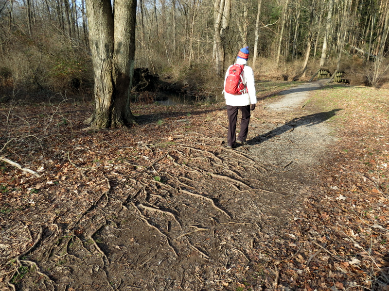 Tree roots |
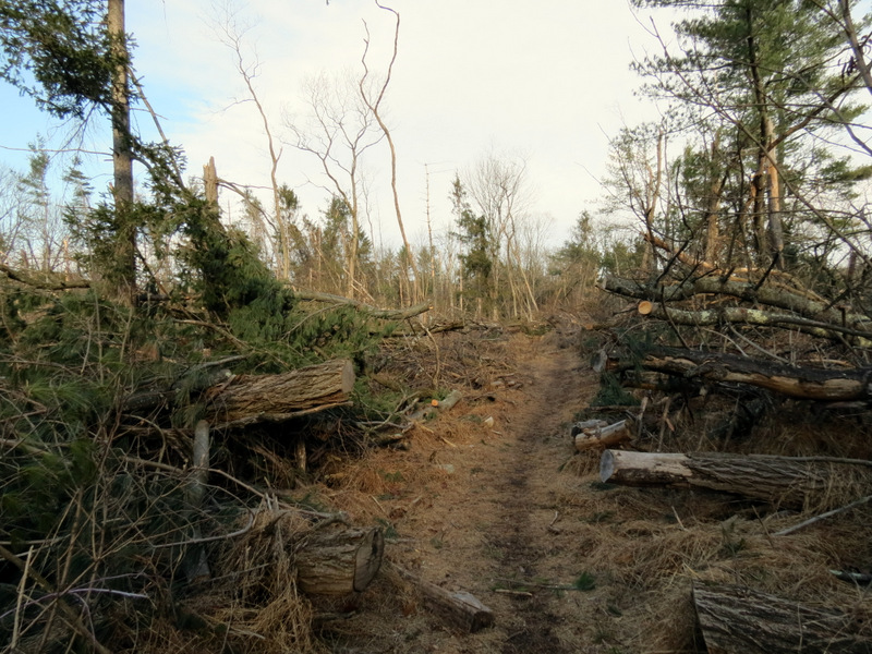
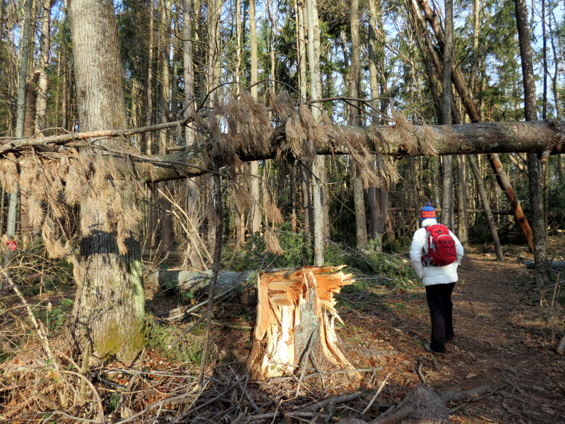 Major destruction ... |
 ... from Hurricane Sandy ... |
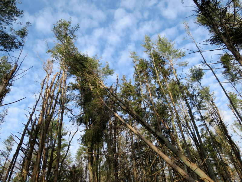 ... to the pines of ... |
 ... Community Park North |
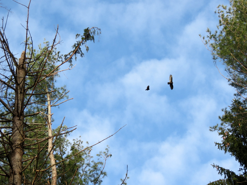 Two vultures |
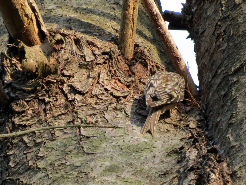 Camera shy bird |
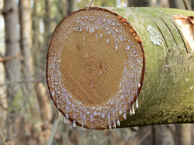 Sap |
 |
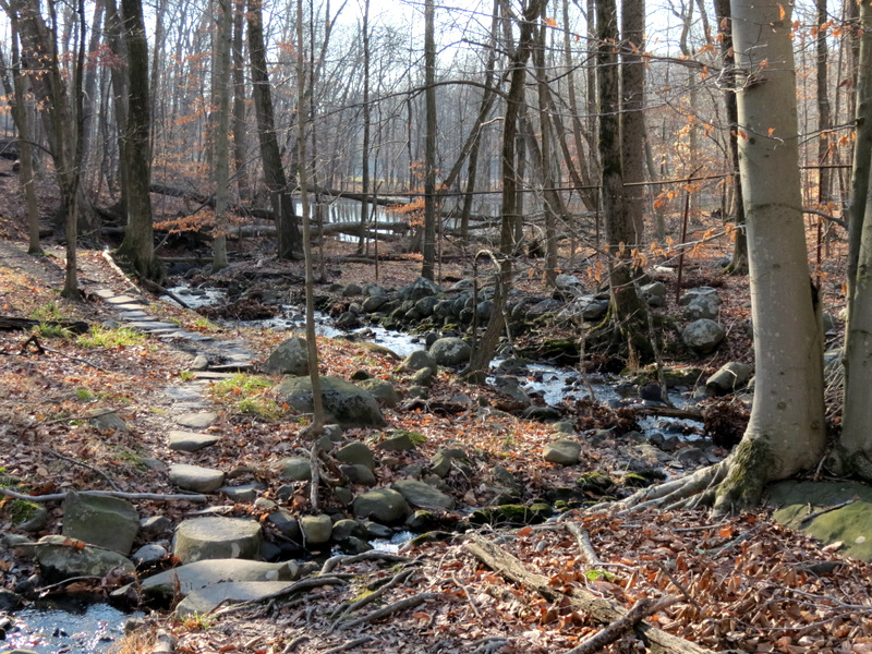
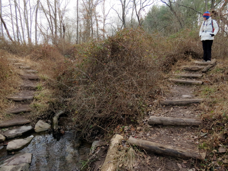 Steps at creek |
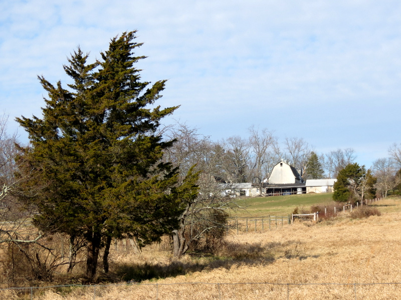
 Farm edge |
 Gorgeous sky |
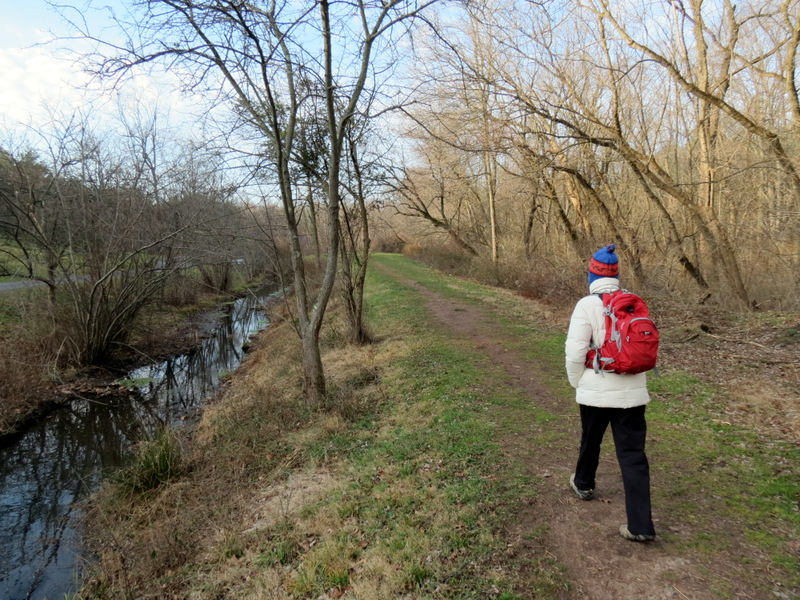
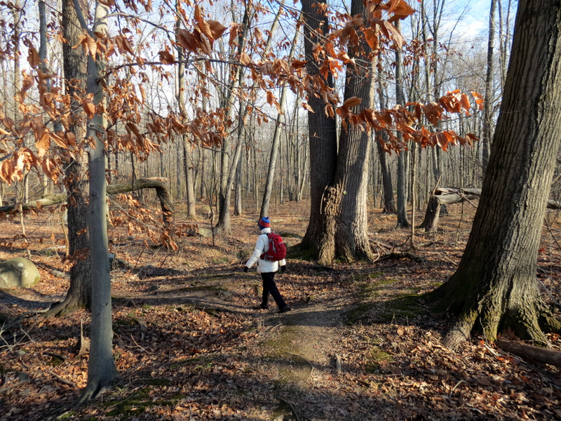
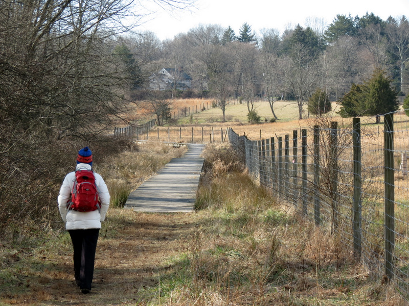
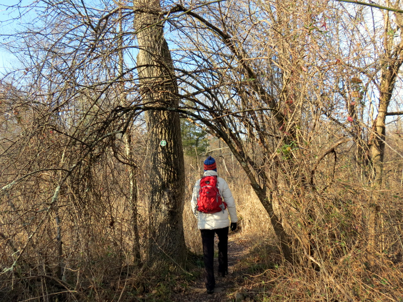 Heading north |
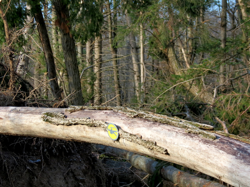
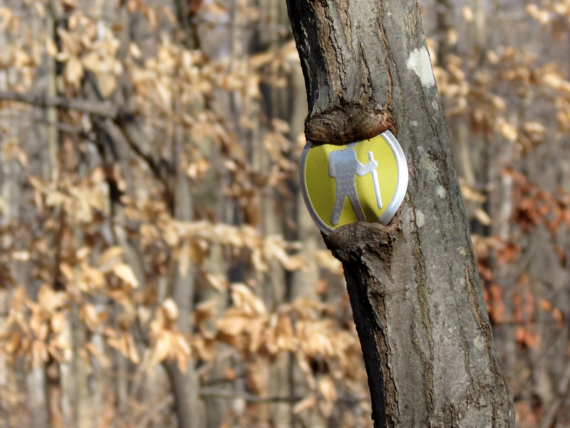
 Typical blaze |
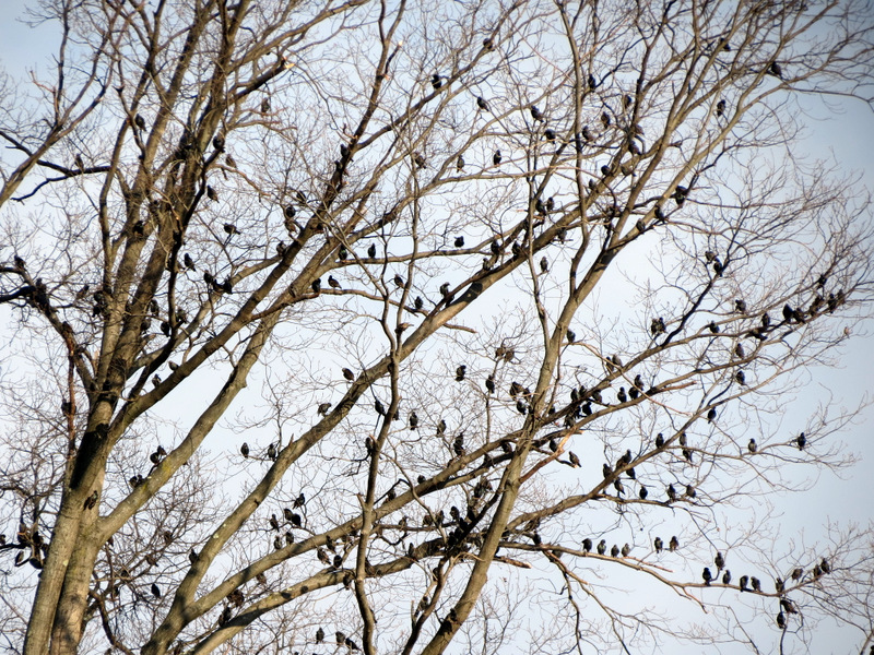 Hitchcock's "The Birds"? |
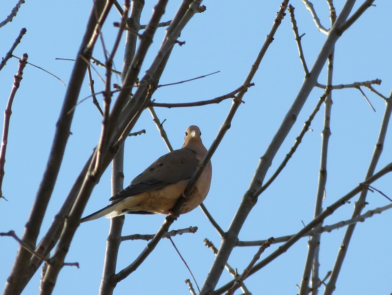 Mourning Dove |
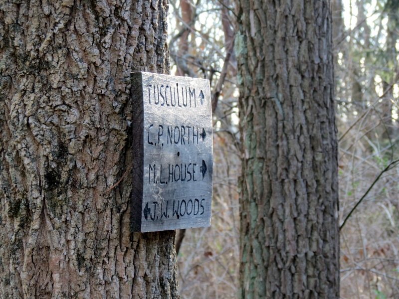 Excellent signs |
 Damage NE of Mountain Lakes House |
 Dozens ... |
 ... of toppled trees ... |
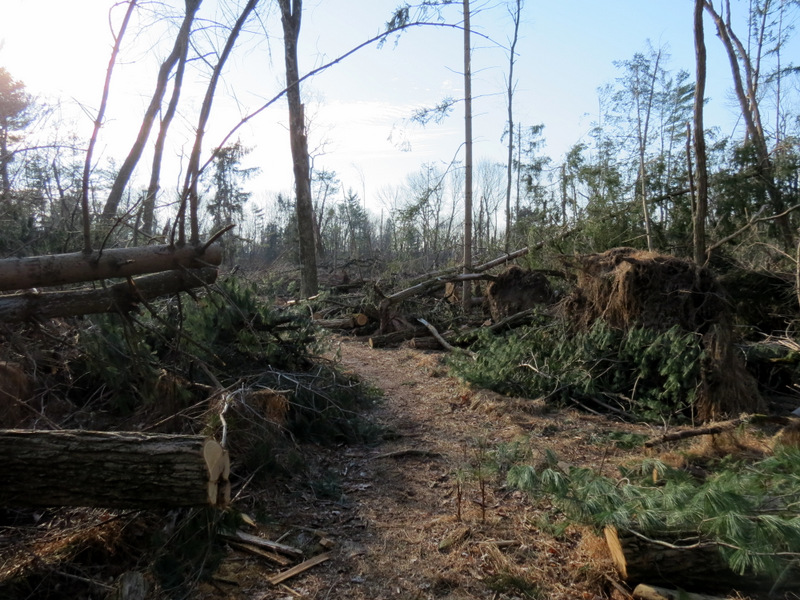 ... NE of ML House |
 Creek |
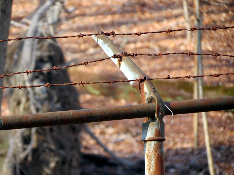 Barbed wire fence |
 |
 Typical blaze being eaten |
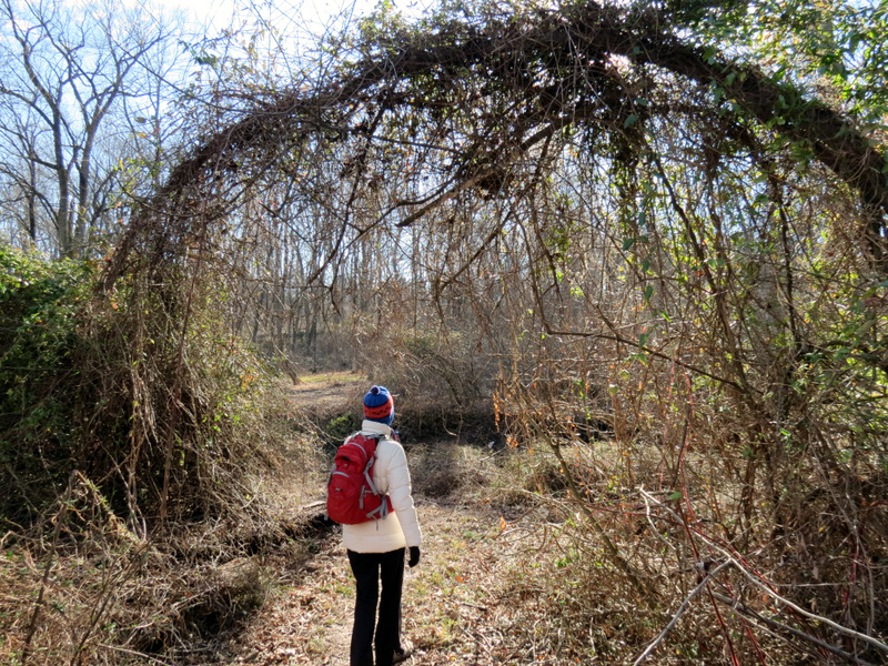
 In John Witherspoon Woods |
 [Photo by Laura] |
 |
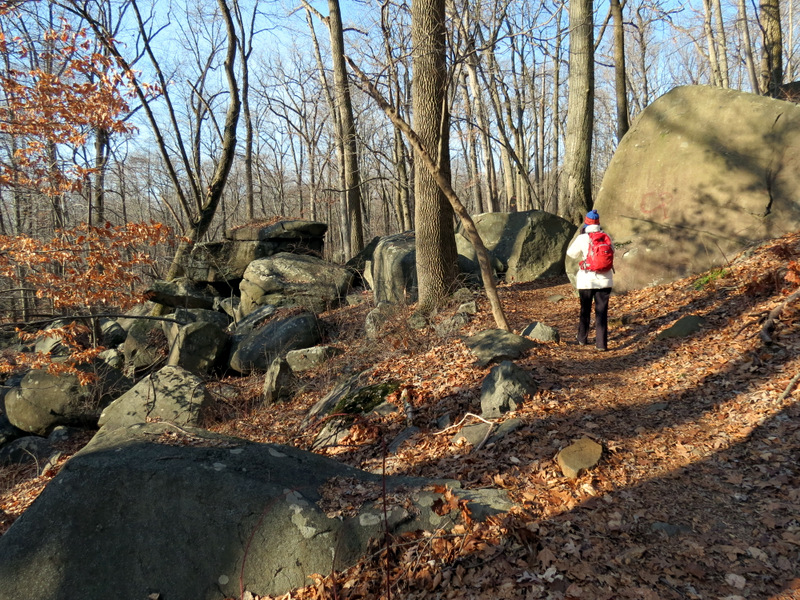 Boulder field in JW Woods |
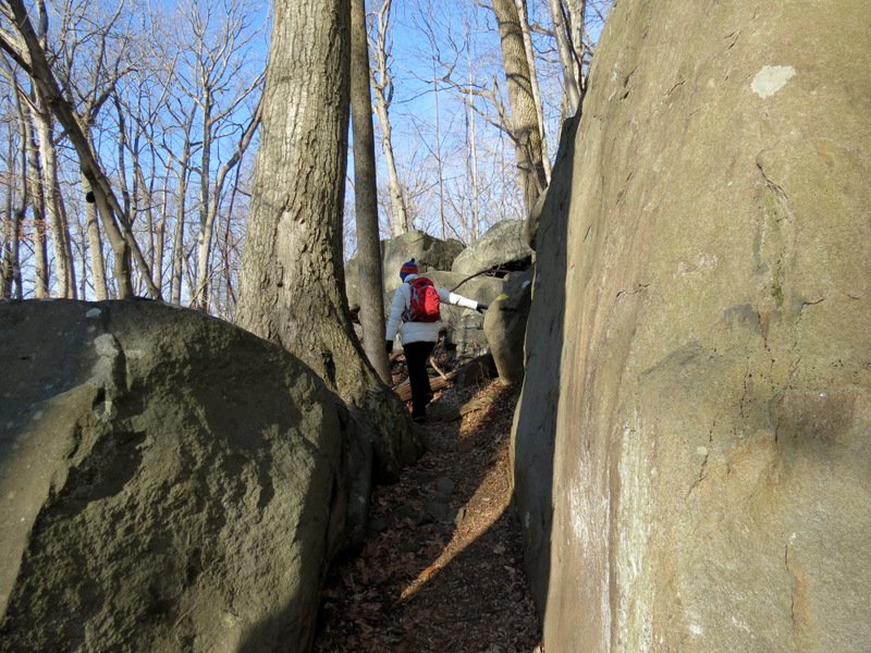 Path to ... |
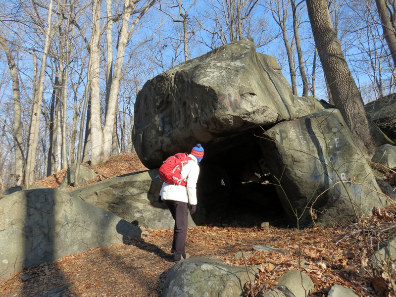 ... Devil's Cave |
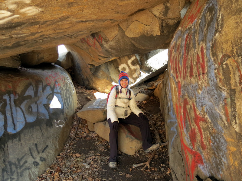 Ms. Beelzebub inside |
 View from inside |
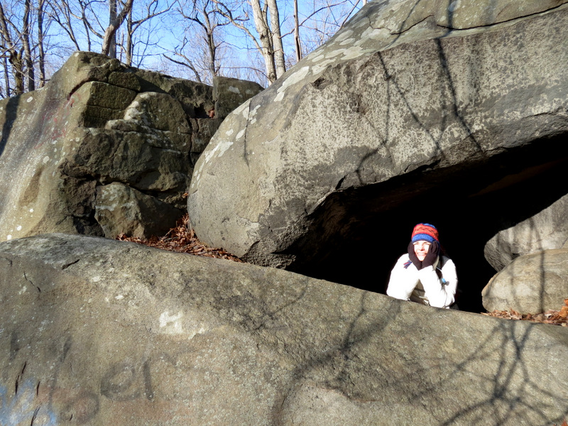 Looking out |
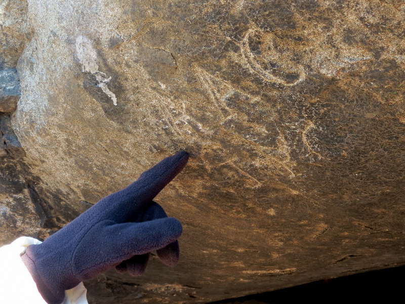 Old graffiti? |
 |
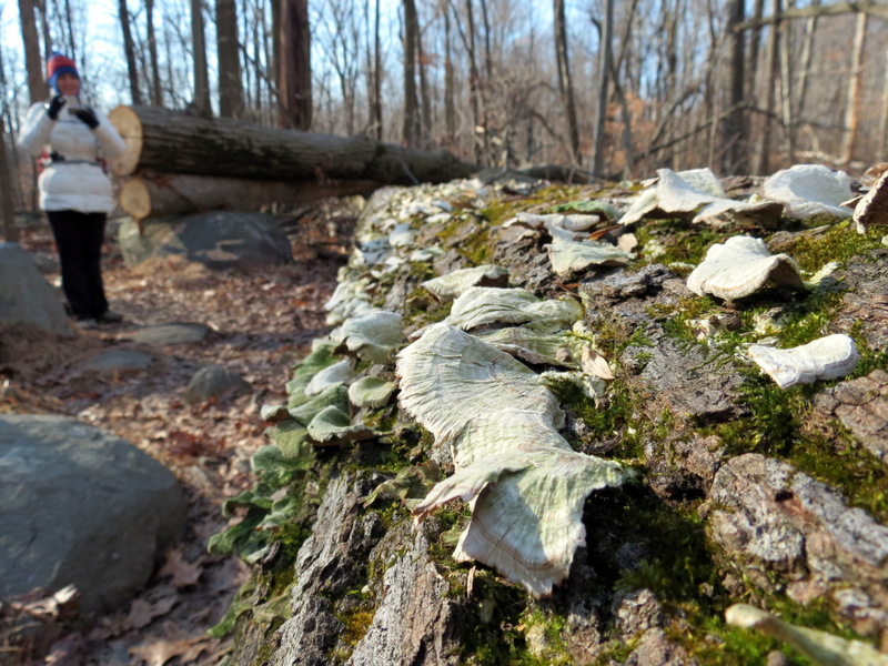 Mushrooms |
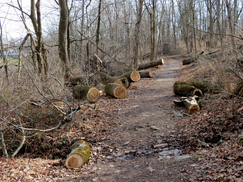
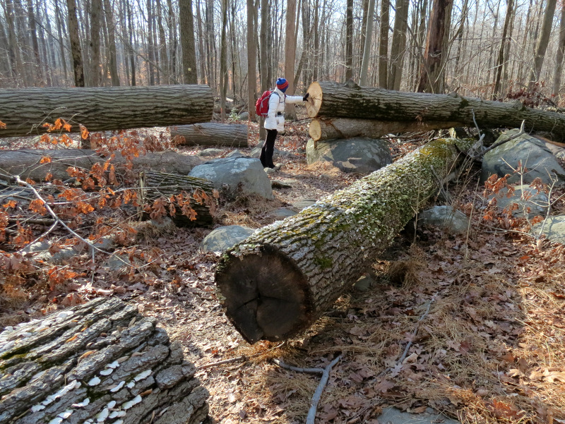 Some blowdowns |
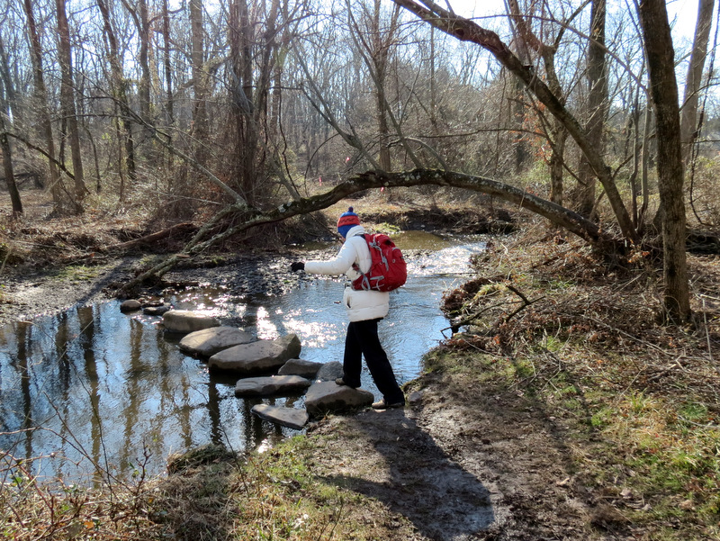
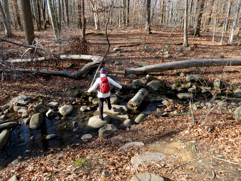 Creek crossing |
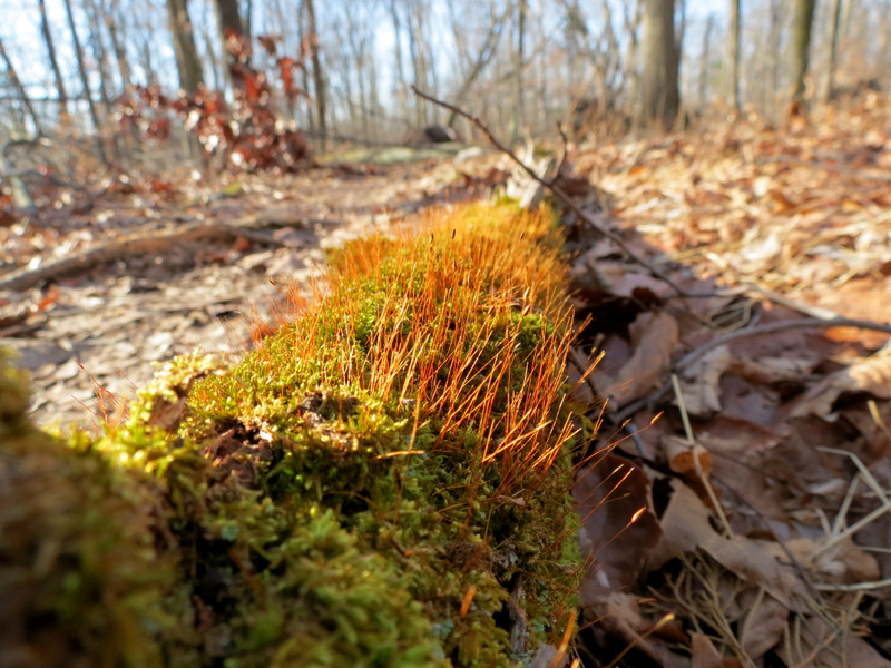 Sphagnum moss |
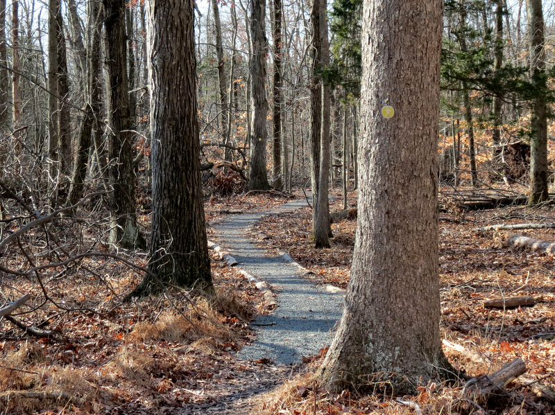 Gravel path |
 |
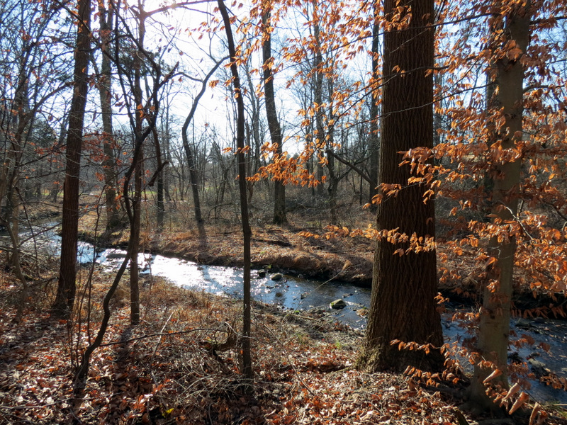 Creek |
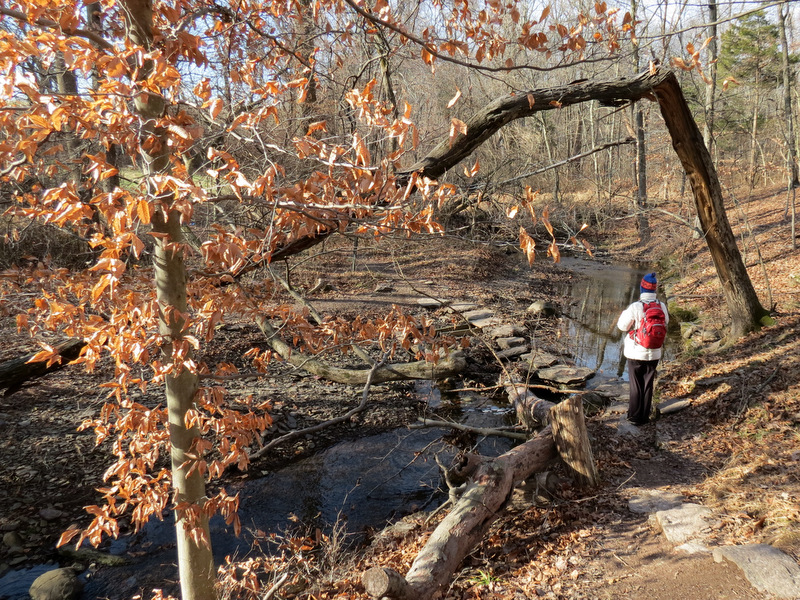 |
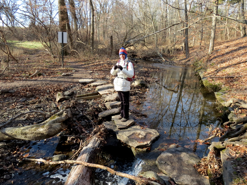 Easy crossing |
 Beautiful creek |
 The map on a sign |
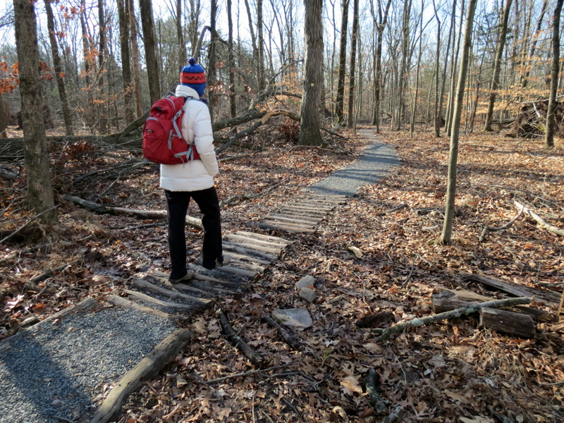
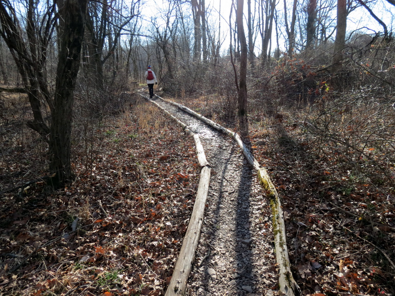 Nicely maintained trail |
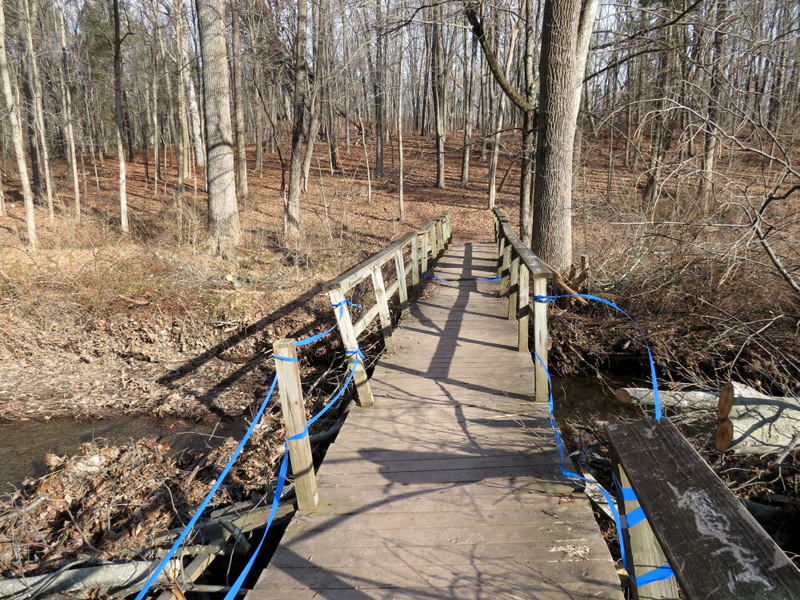 Damaged bridge |
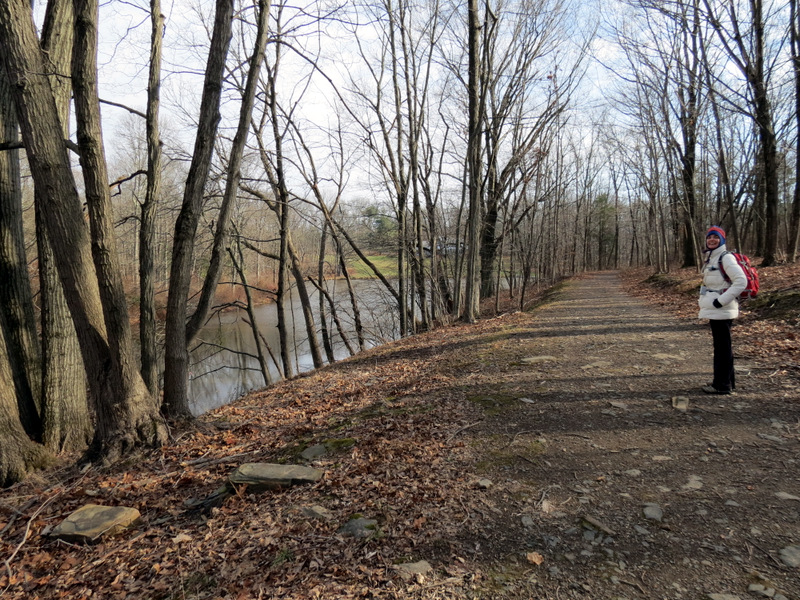
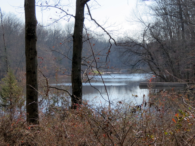 First view of Palmer Lake |
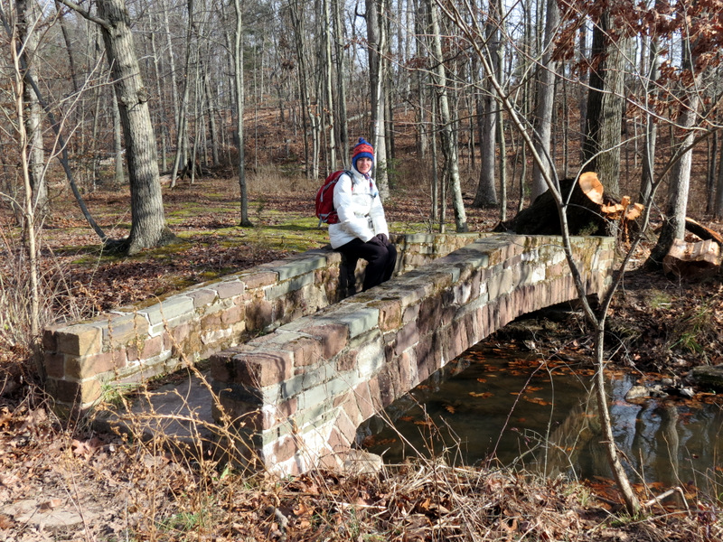 Old stone bridge |
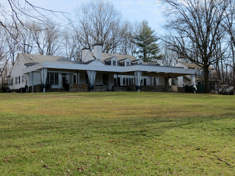 Mountain Lakes House |
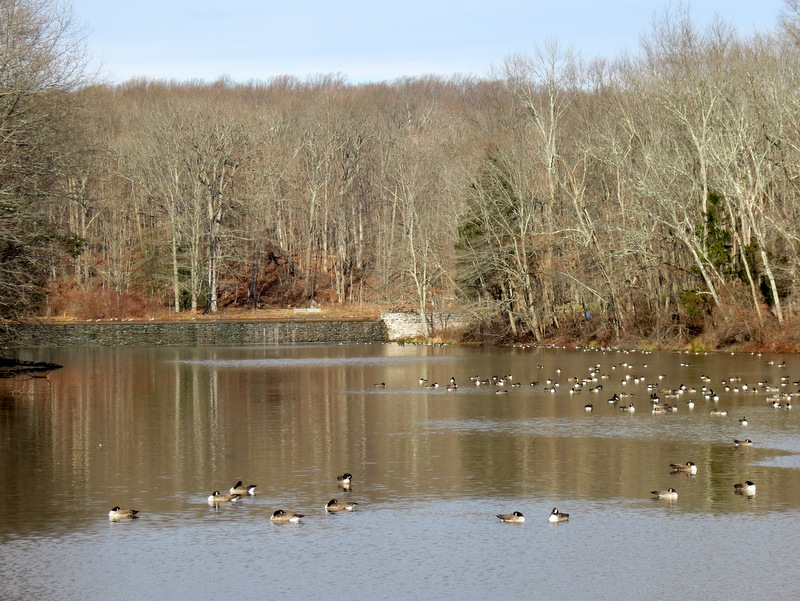
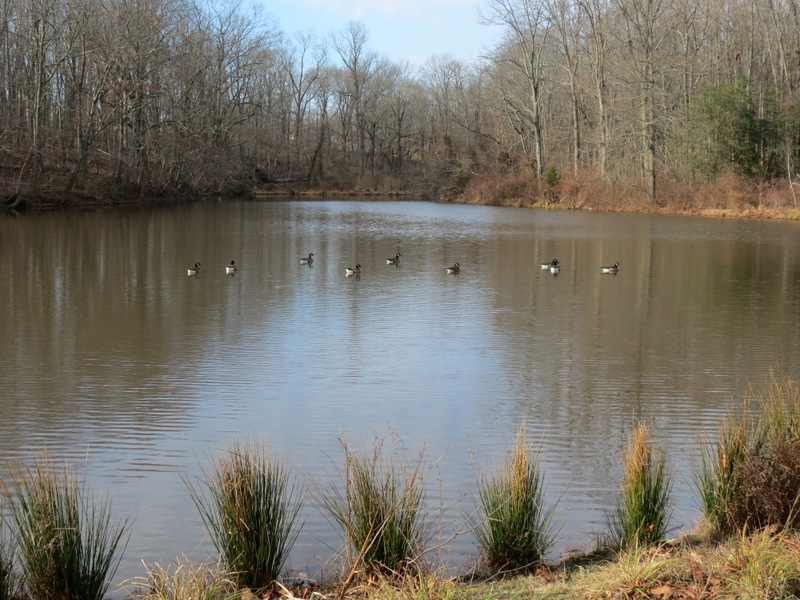 Canada Geese in Palmer Lake |
 View from stone bridge |
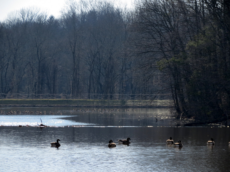 Geese in Palmer Lake |
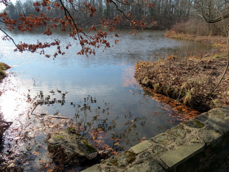
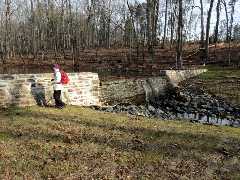 Spillway near house |
 Cleared path west of lake |
 |
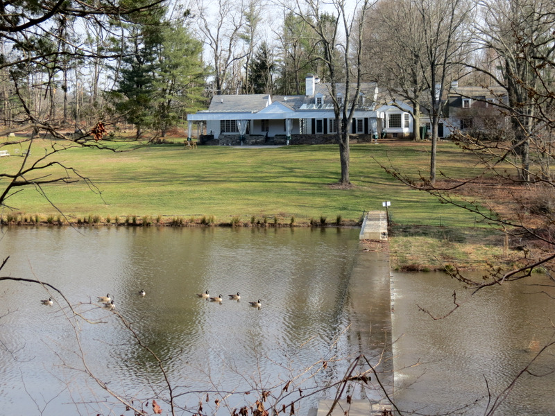 Mountain Lakes House across Palmer Lake |
 Palmer Lake dam |
 Palmer Lake from southern tip |
 Napping geese |
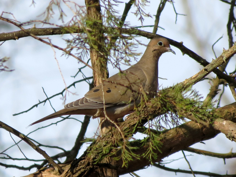 Mourning Dove |
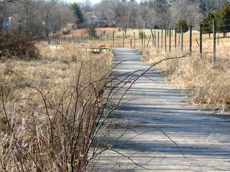
 Boardwalk looking west |
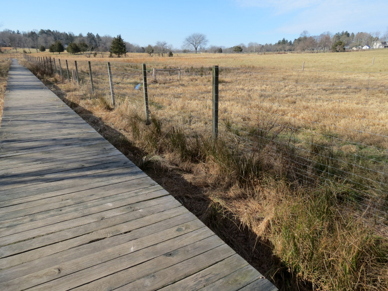 |
 The boardwalk is south of ... |
 ... Coventry Farm |
 |
 |
 Antoher creek |
 Another crossing |
 |
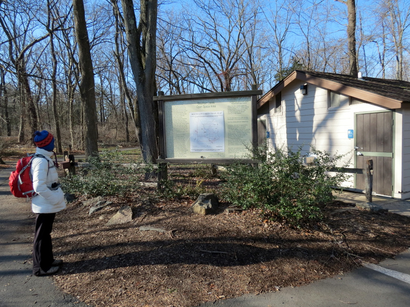 Restrooms locked for season |

|
|
Photographs and content copyright © Dan Balogh Web design by Dan Balogh |