 |
|
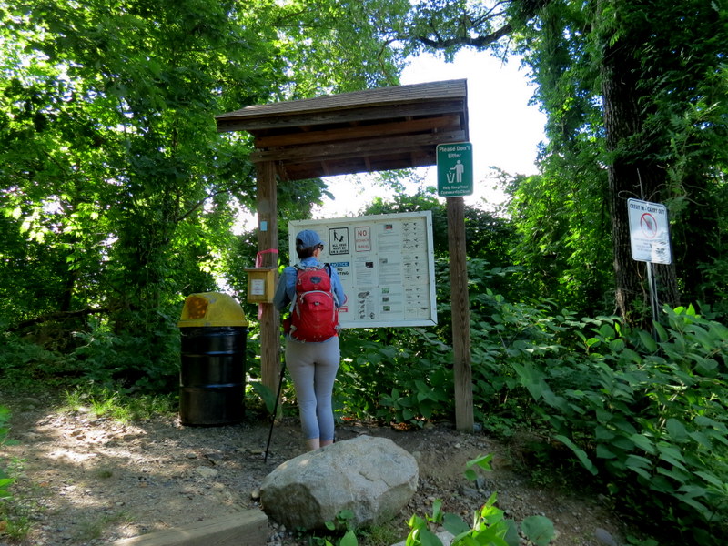
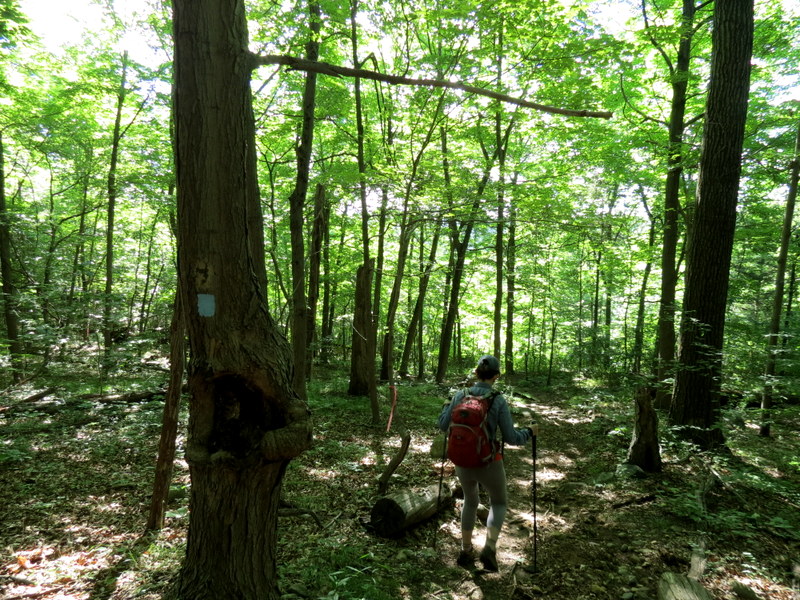
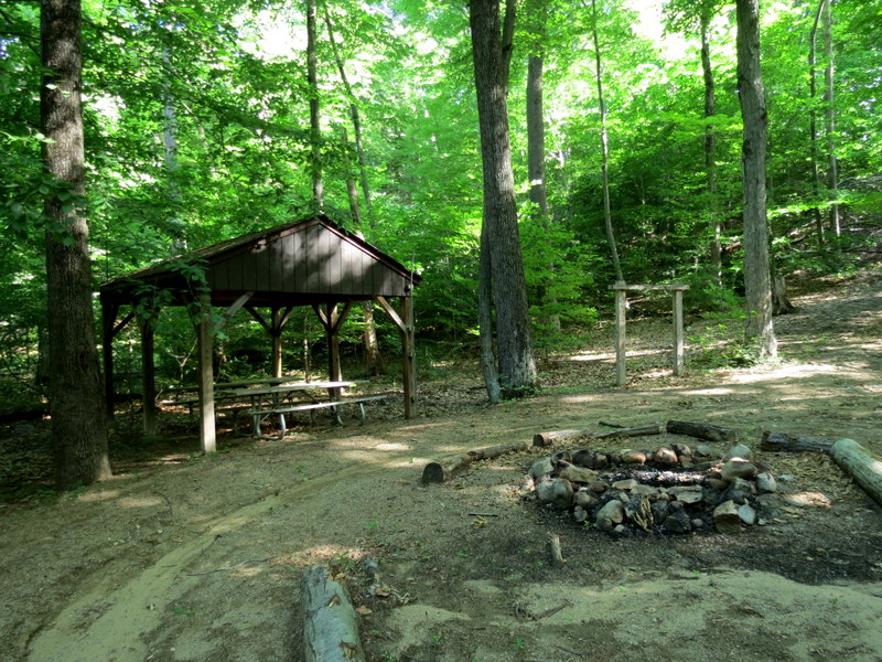
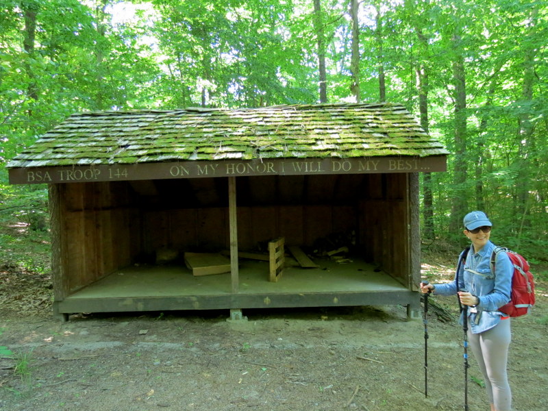
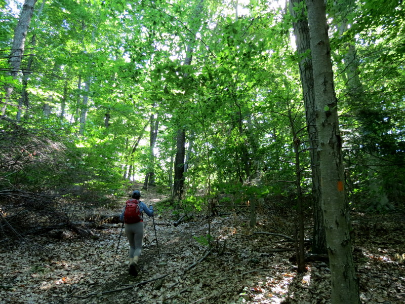
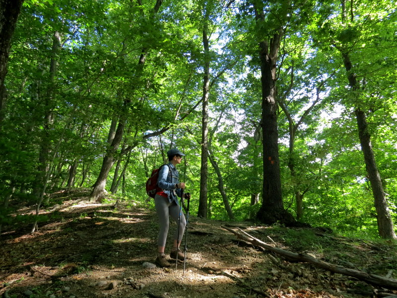
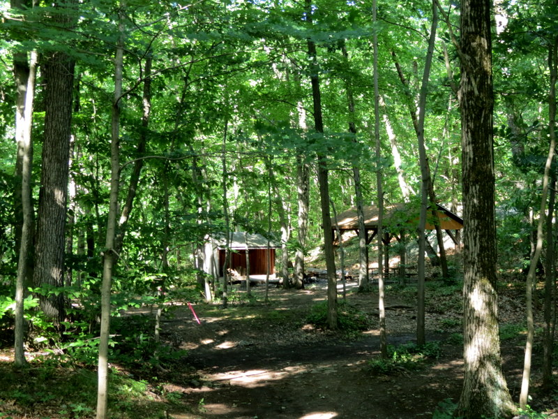
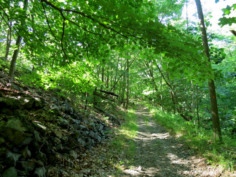
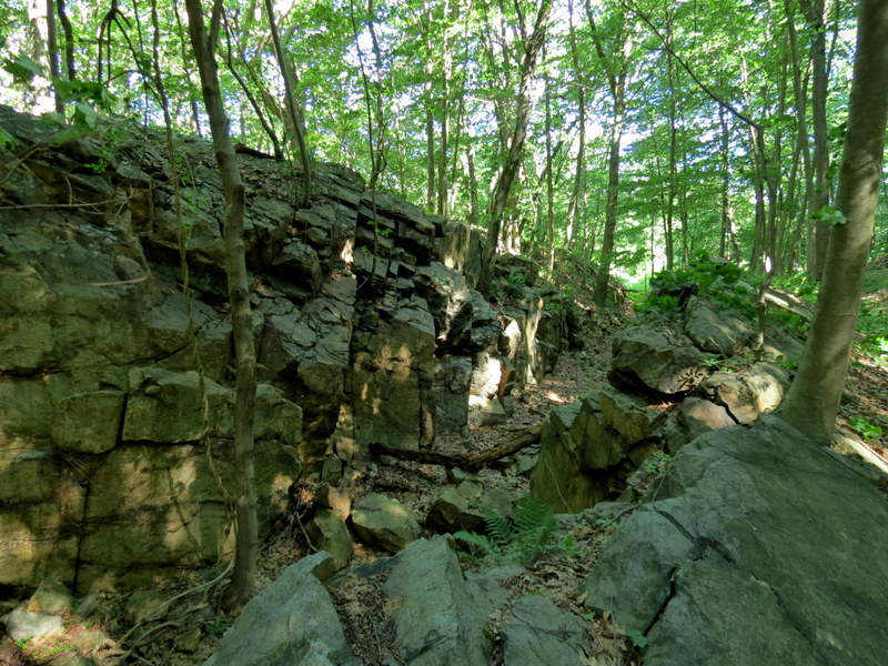
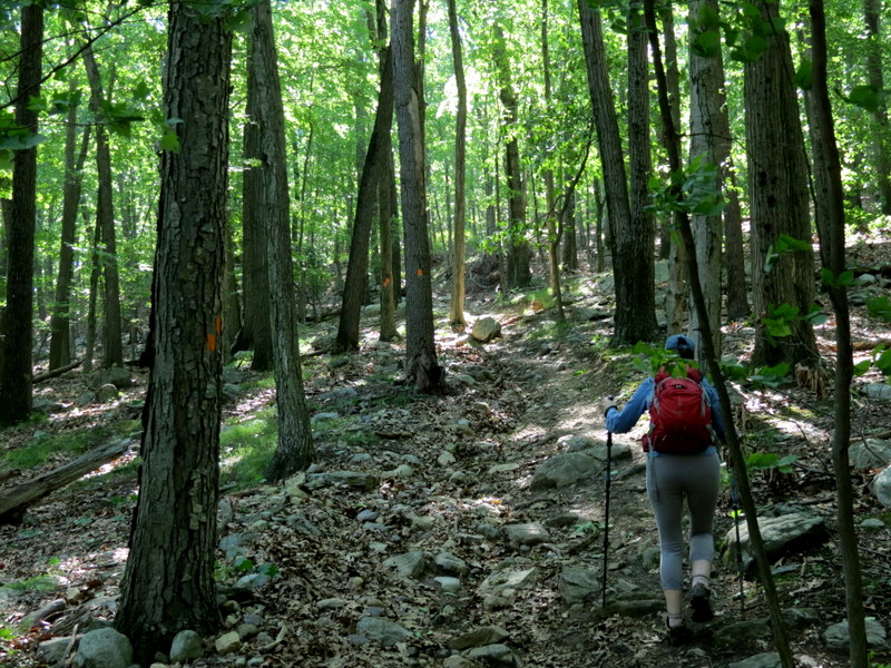
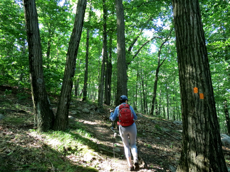
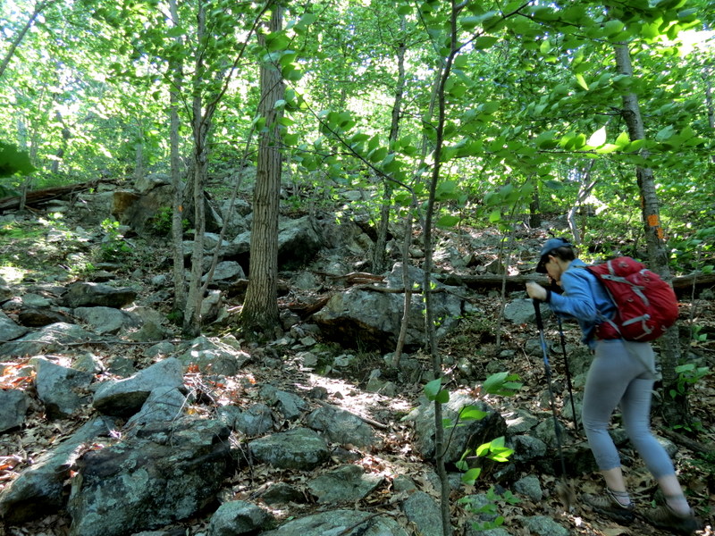
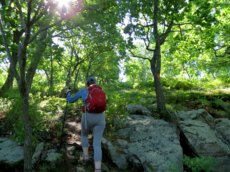
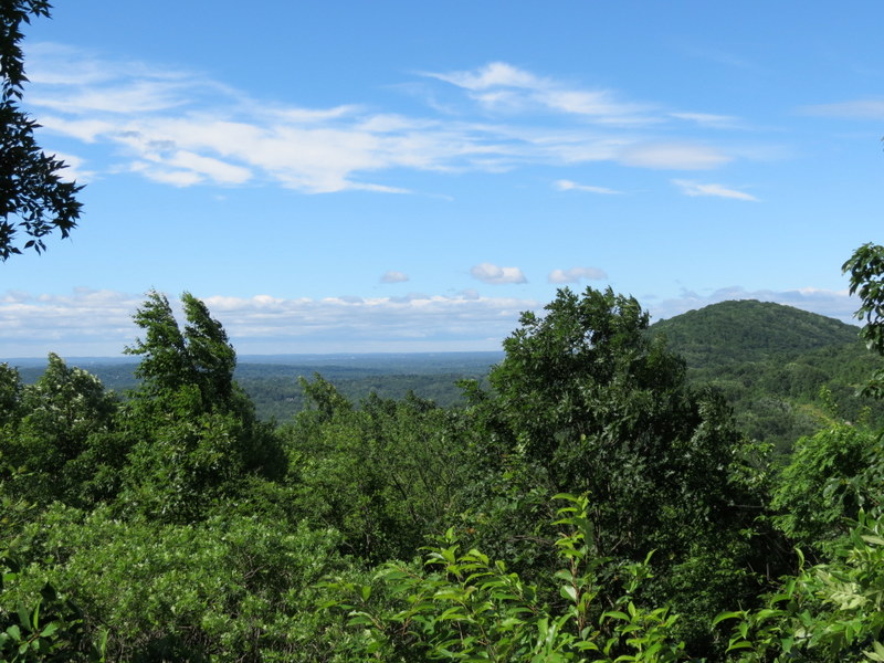
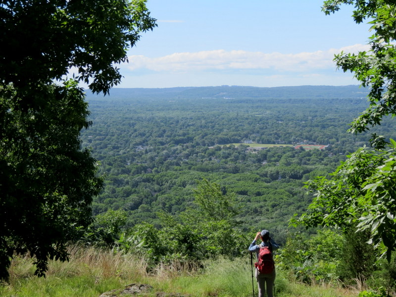
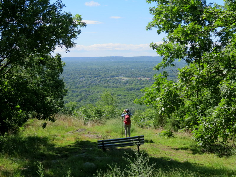
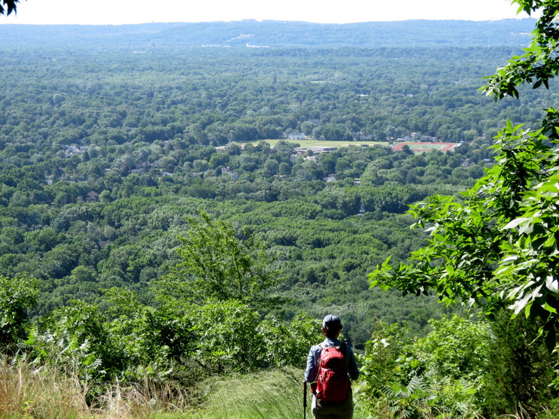
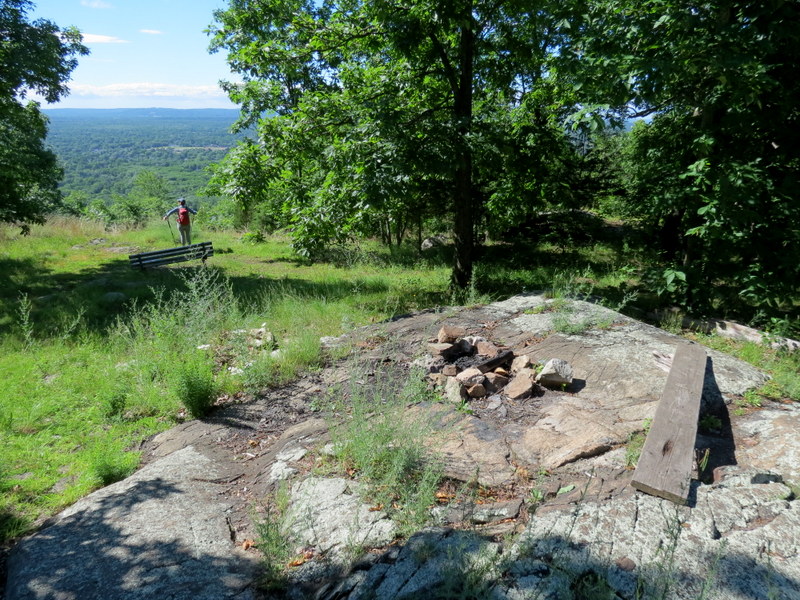
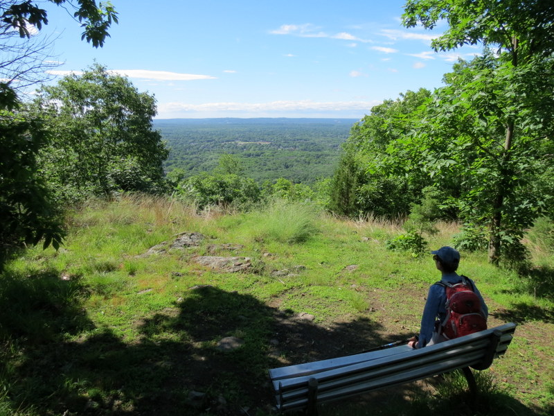
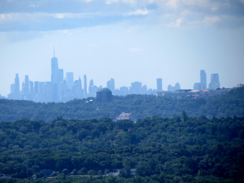
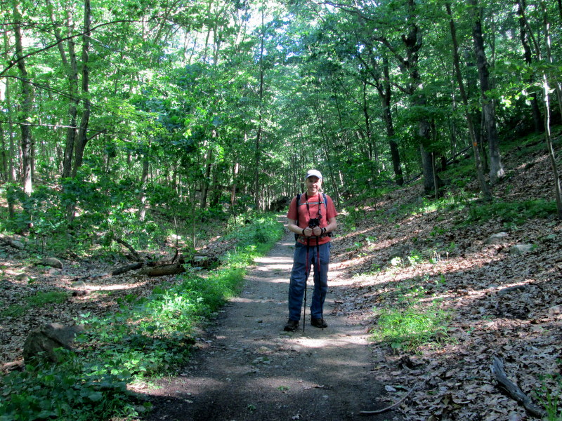
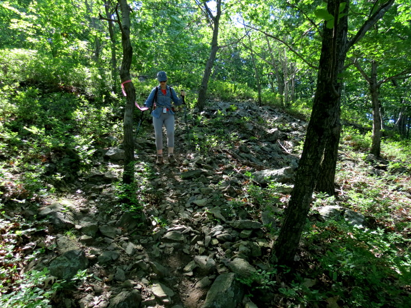
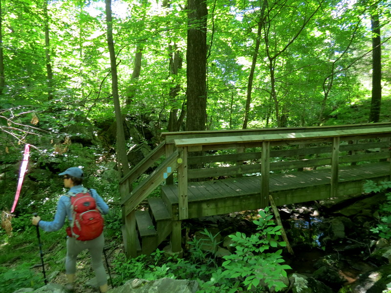
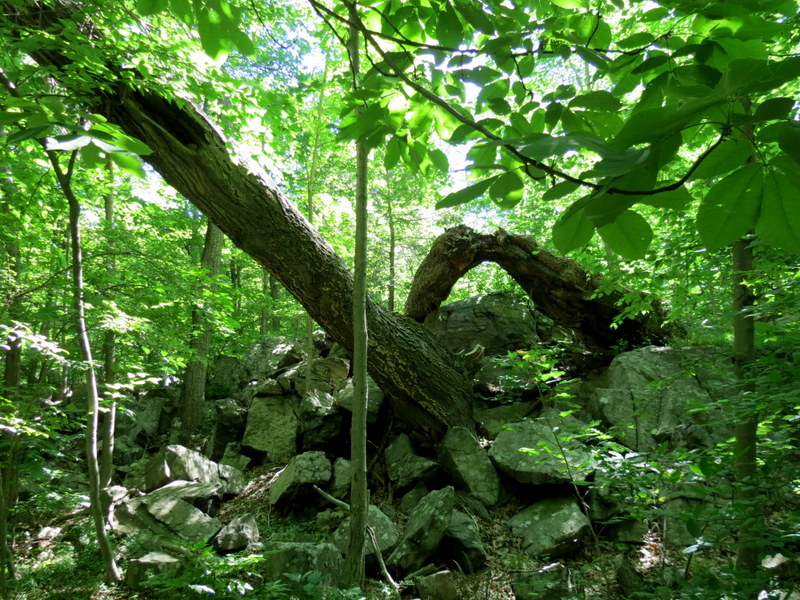
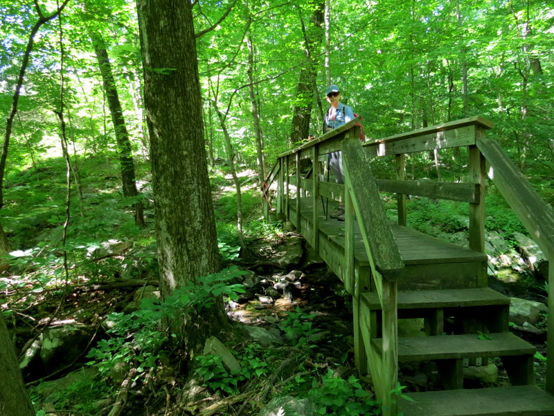
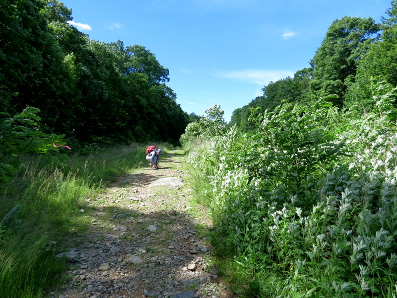
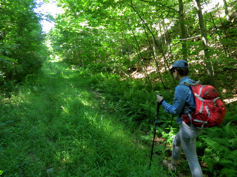
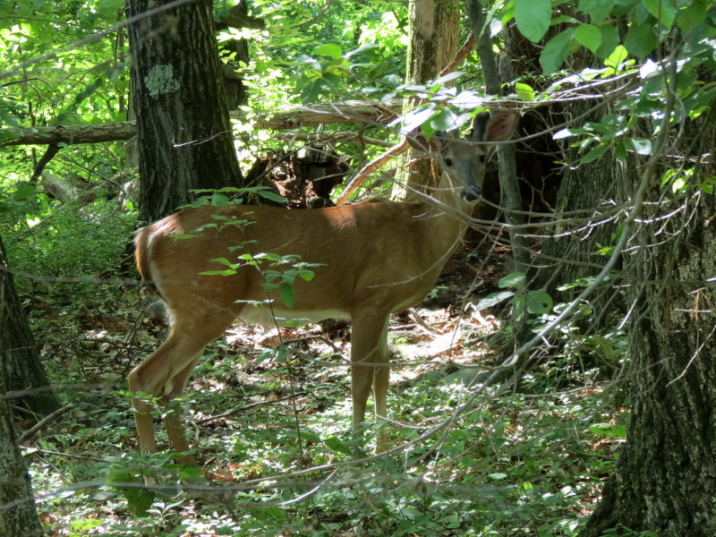
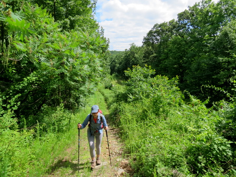
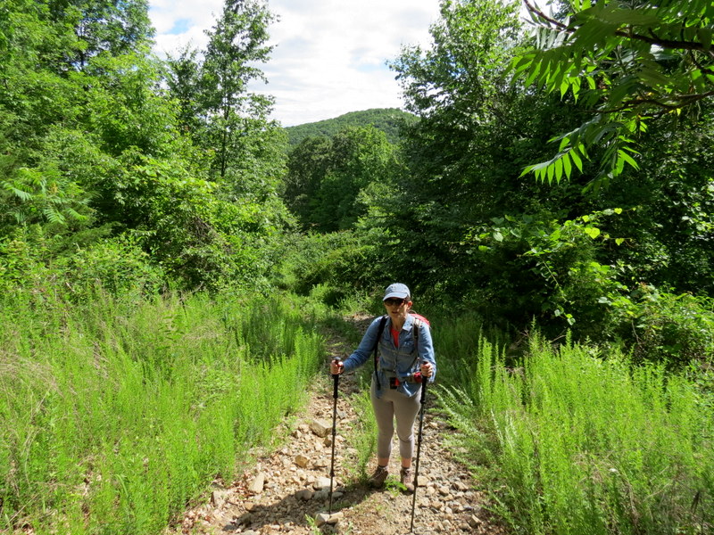
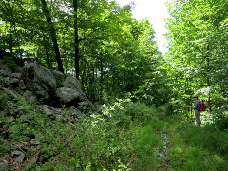
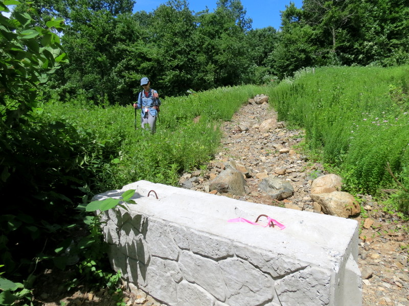
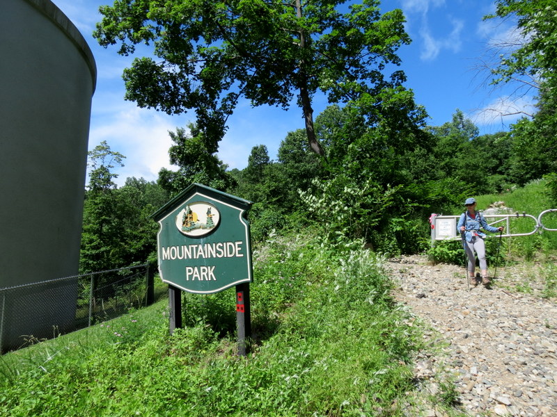
We have hiked this rugged, hilly area three times in the past, the most recent over four years ago. Since then the park has undergone an extensive reblazing. We headed back
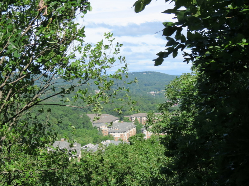
today to take in the view, and to explore one of the unblazed trails that we never hiked before.
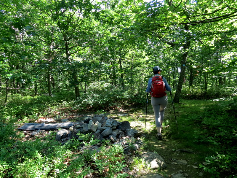
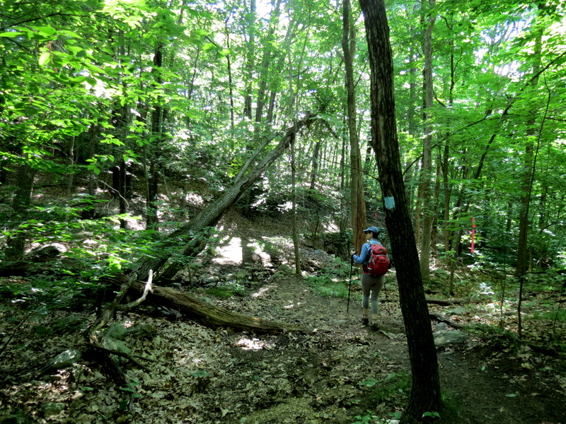
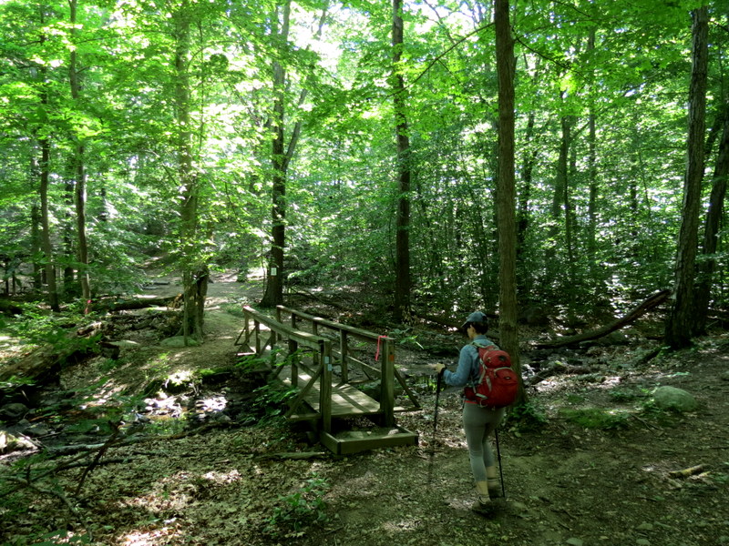
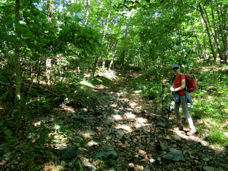
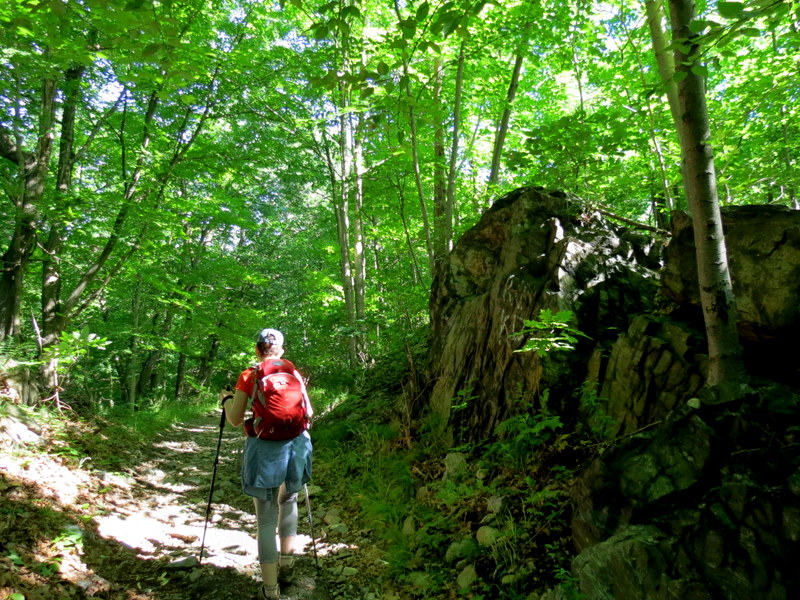
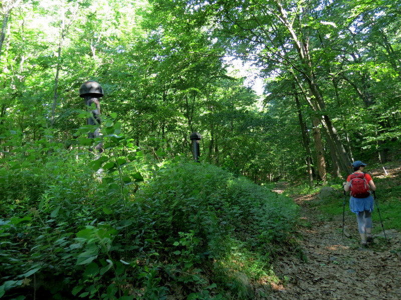
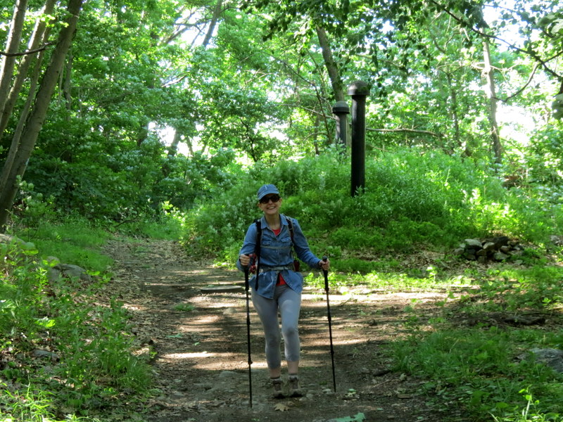
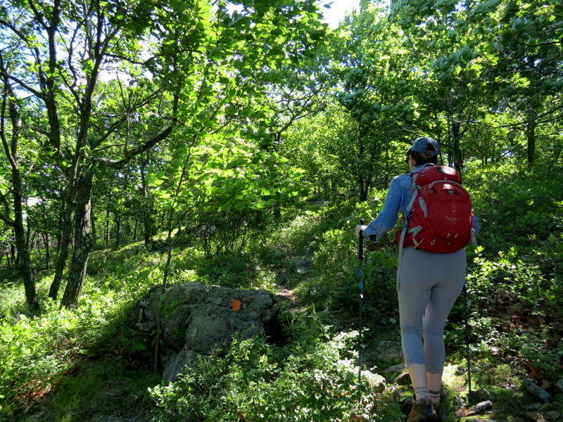
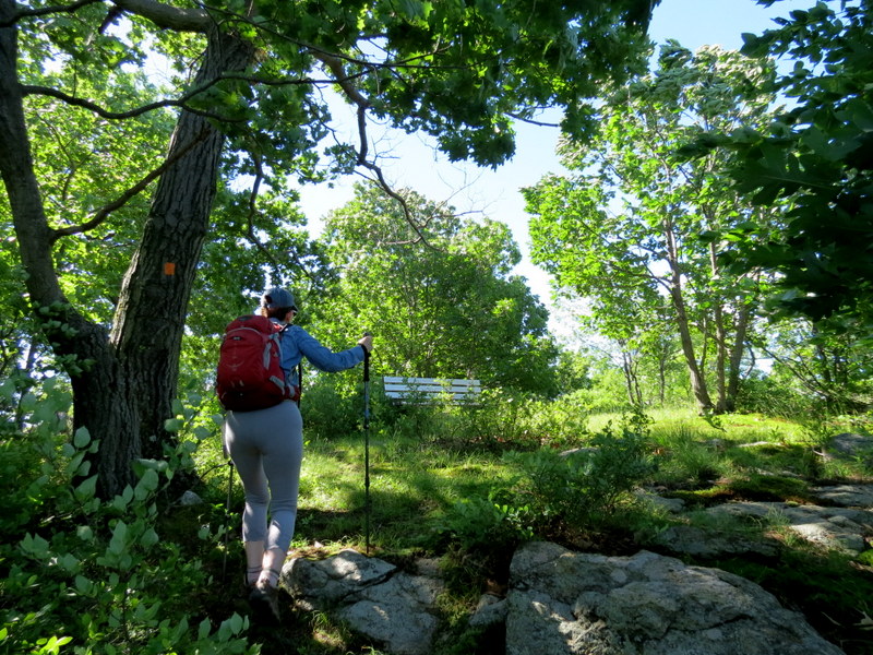
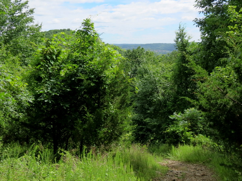
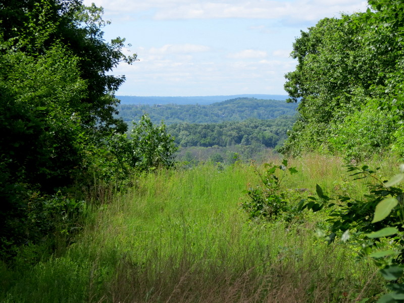
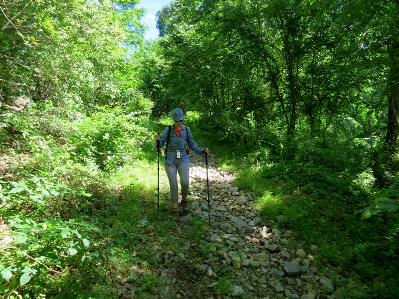
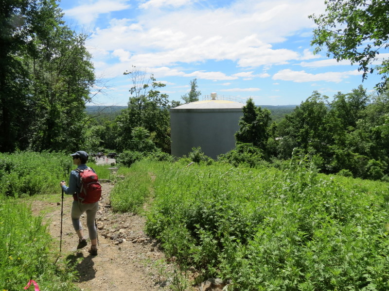
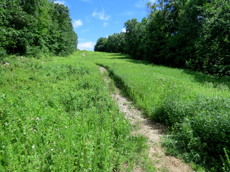
No official map is available with the reblazing, but this map from the NYNJTC captures all of the changes. Using that map, we headed north on Blue, taking Orange as soon as we met it. We continued on Orange all the way to its northern stretch. Curiously, the new map fragment is wrong. It shows Orange going much further east, then heading straight south to the starred viewpoint. In reality, the Orange trail actually heads south where the northern most "O" appears on the map, then east to the viewpoint (the star). After taking in the view, we continued west on Blue, taking this to where the Red-Blue trail meets it. We took that trail through the dashed powerline cut and continued a bit further west until we reached the unblazed, grassy trail heading south (the short-dashed line on the map). We took this trail all the way back to the Red-Black trail, which we then took back to the car. Total distance hiked today was 3 miles in 2 hours and 15 minutes, with a nice amount of climbing.
(Click on the thumbnail to bring up a bigger image in a pop-up window)
|
 |
 |
 |
 |
 |
 |
 |
 |
 |
 |
 |
 |
 |
 |
 |
 |
 |
 |
 |
 |
 |
 |
 |
 |
 |
 |
 |
 |
 |
 |
 |
 |
 |
 |
 |
 |
 |
 |
 |
 |
 |
 |
 |
 |
 |
 |
 |
 |
 |
 |
 |
 |
 |
 |
 |
 |

|
|
Photographs and content copyright © Dan Balogh Web design by Dan Balogh |