 |
|
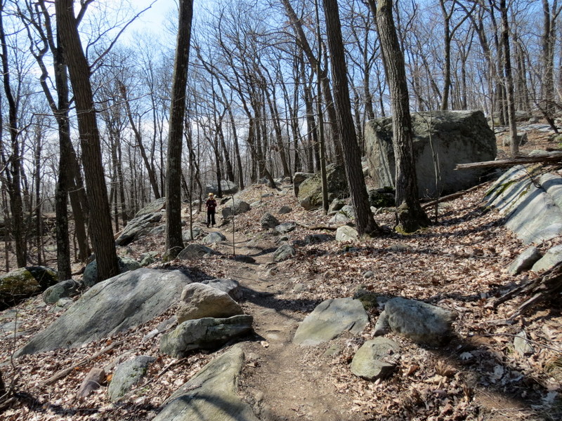
Just two days after hiking around Four Corners Pond we returned to Sterling Forest on Easter Sunday to hike a lollipop which incorporated the southern half of
the Munsee-Eagle trail which is located west of Eagle Mountain and goes in a generally north-south direction.
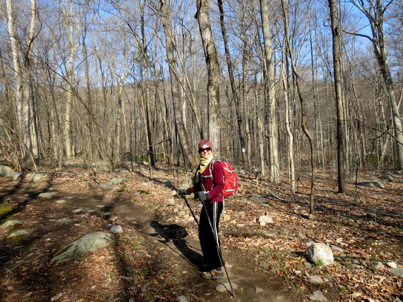
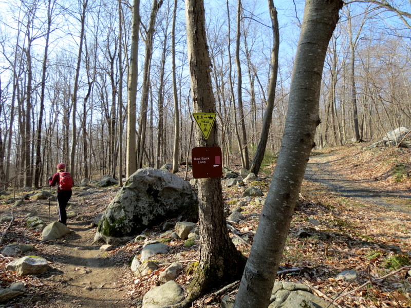
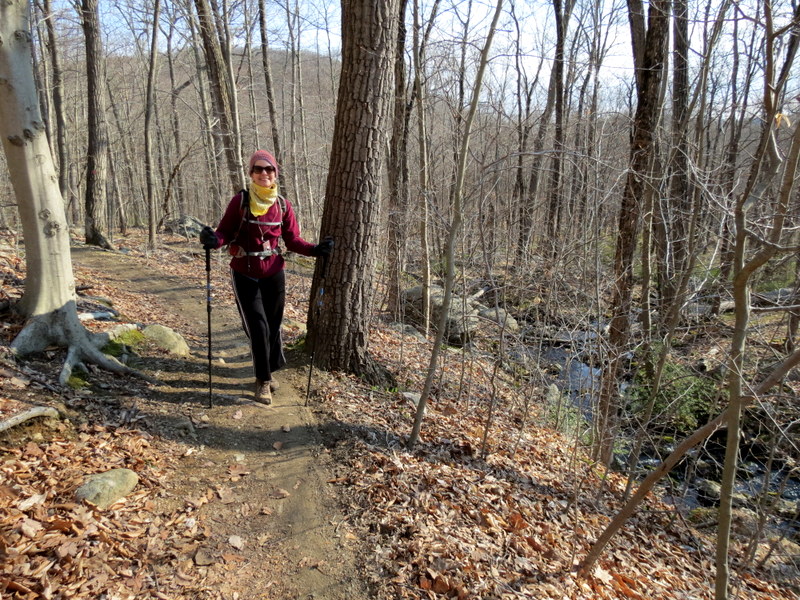
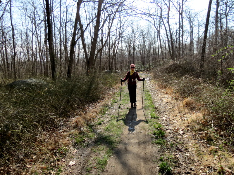
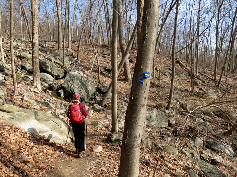
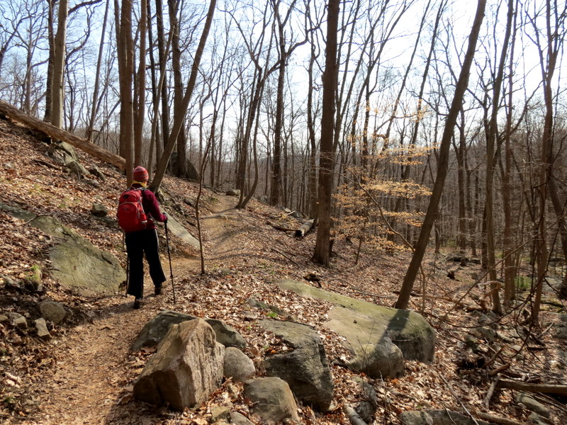
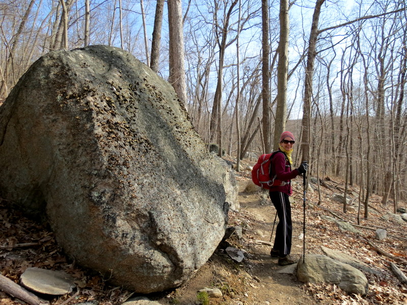
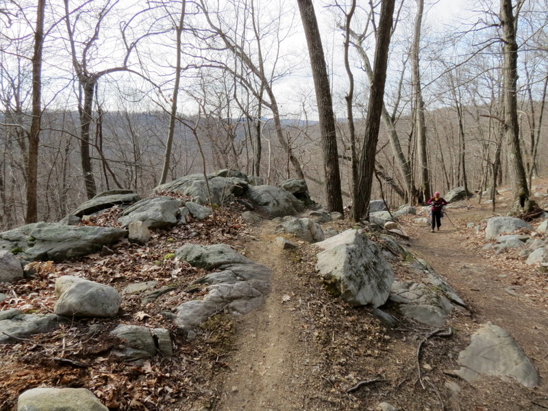
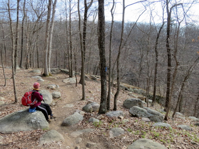
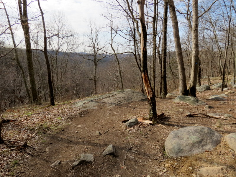
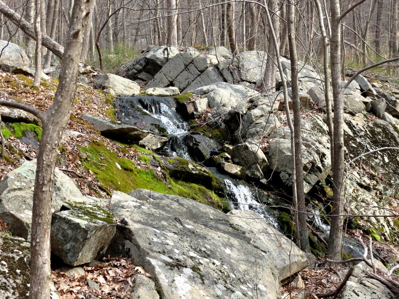
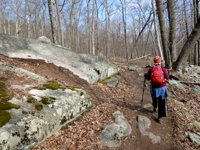
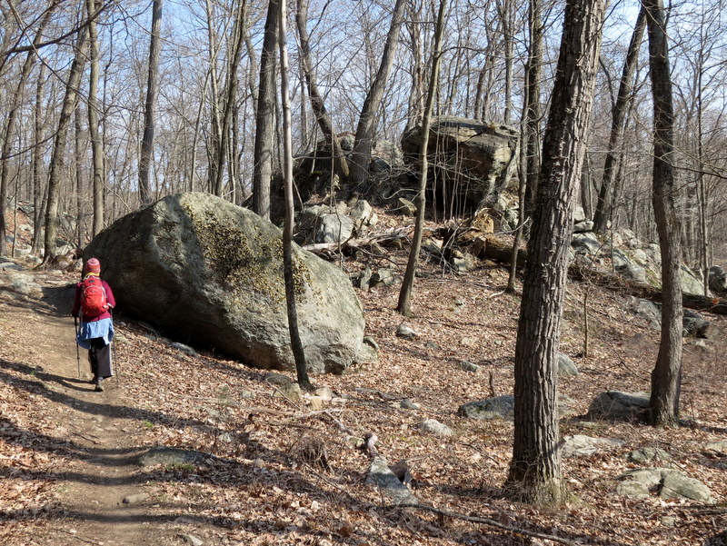
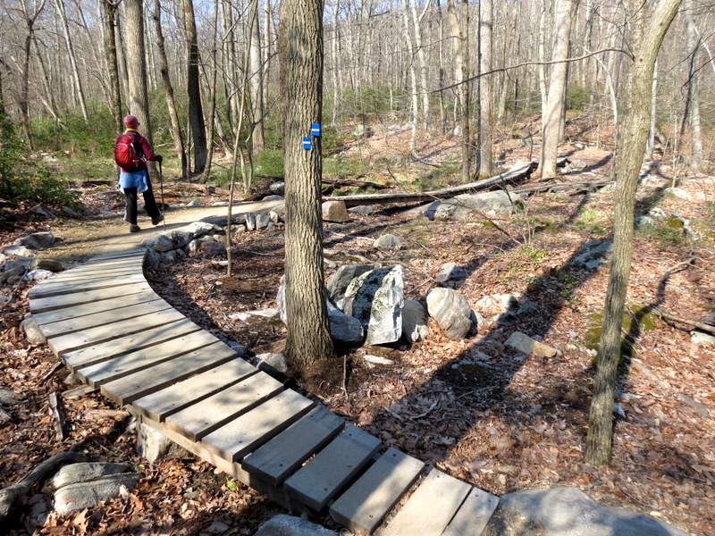
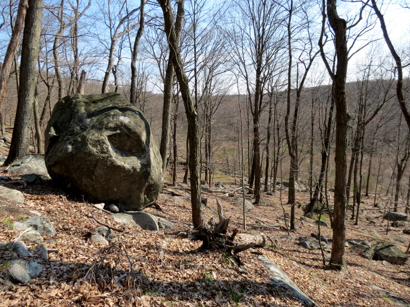
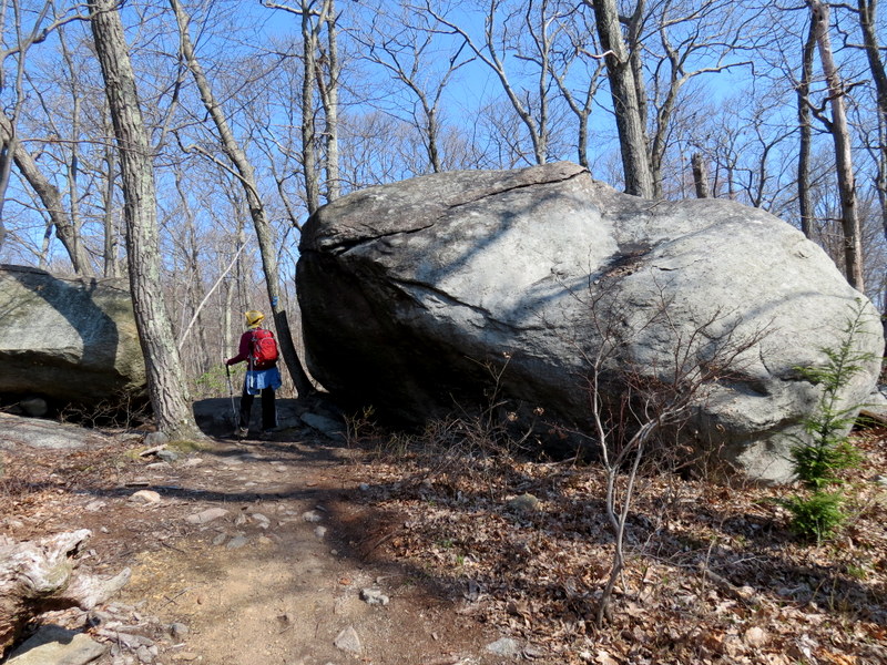
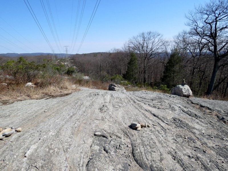
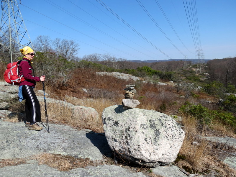
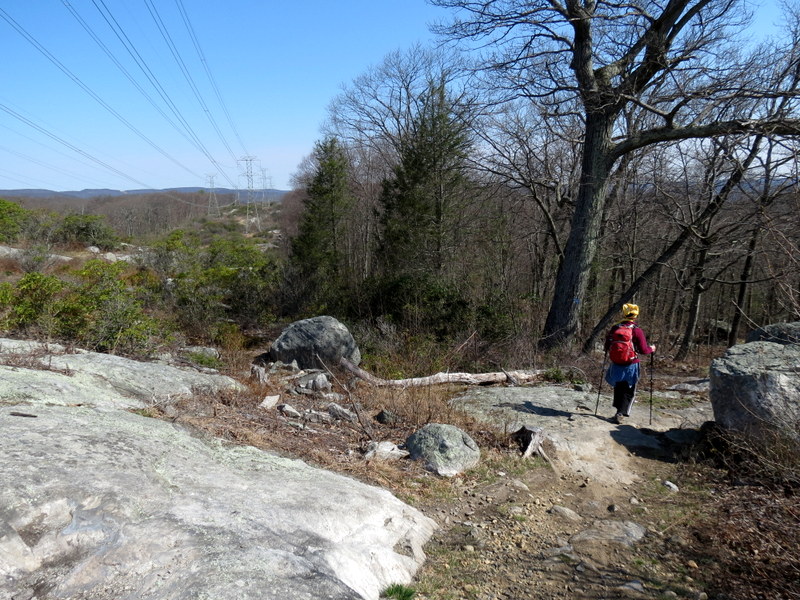
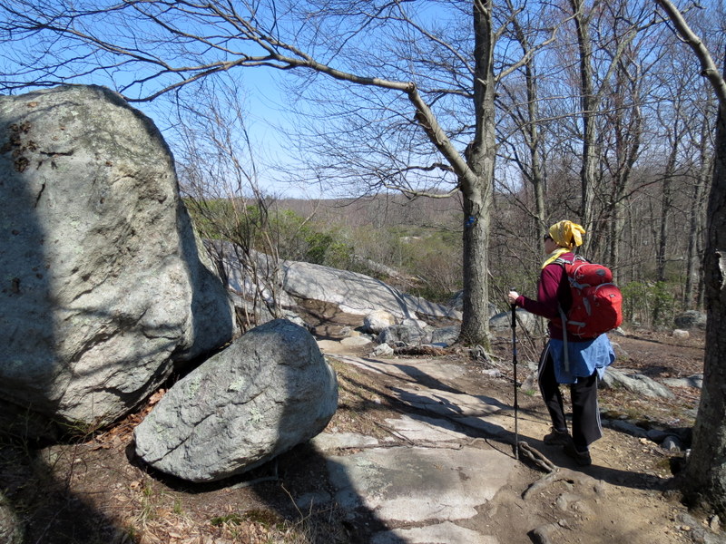
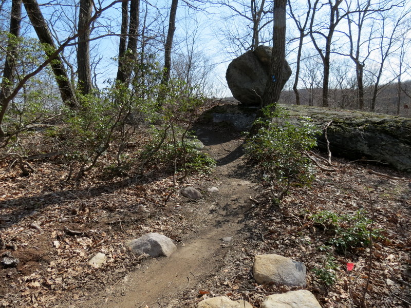
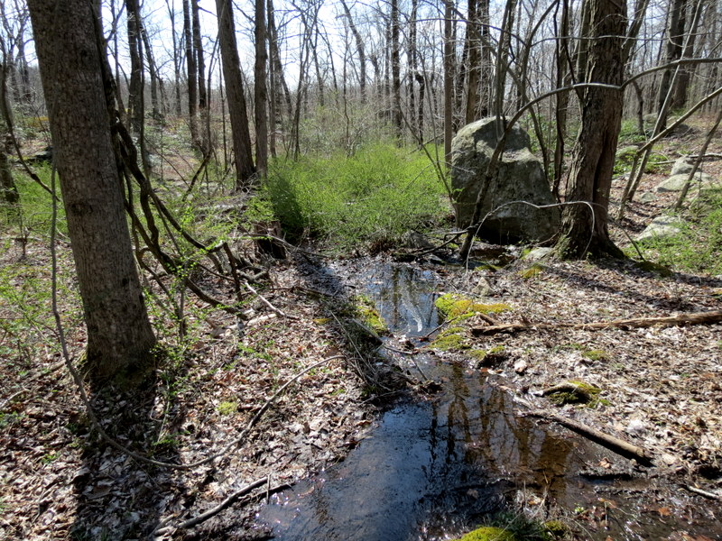
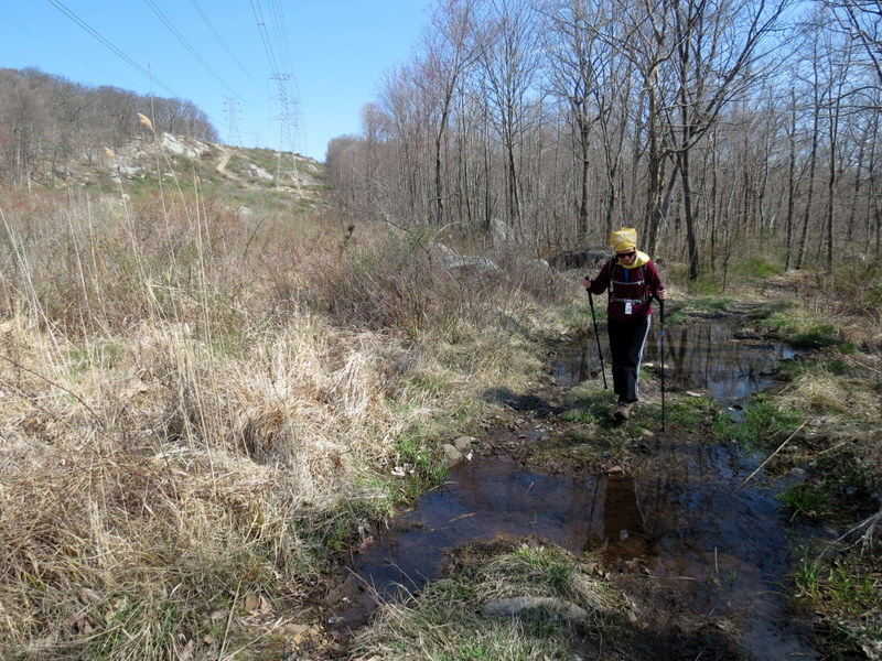
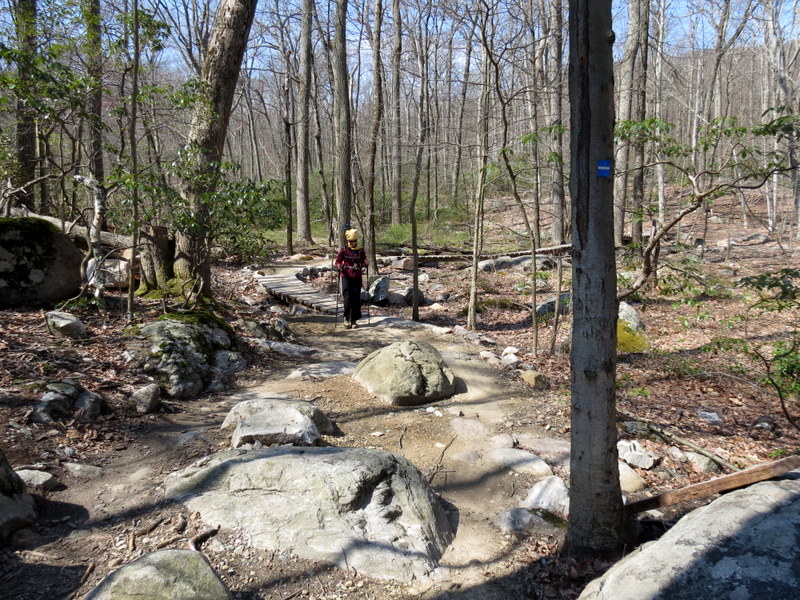
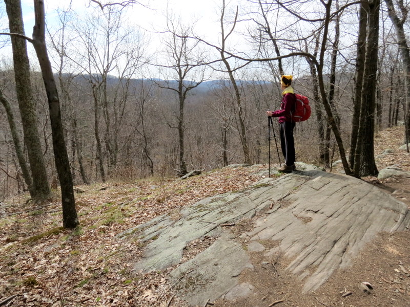
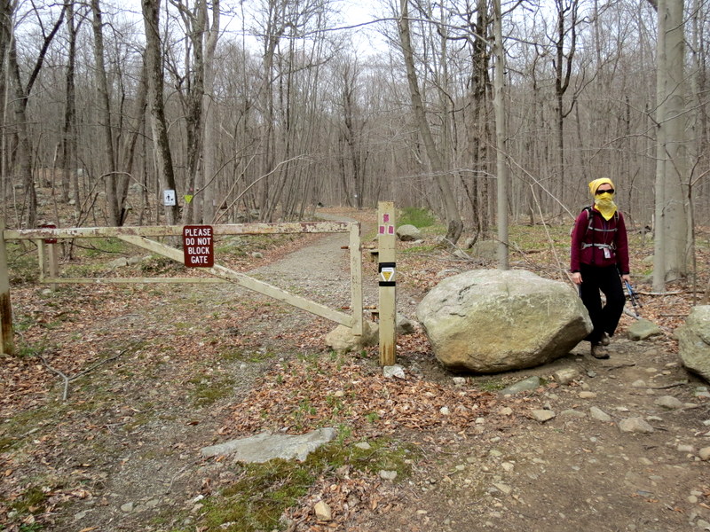
Using the NYNJTC Map #100 for Sterling Forest, we parked at parking area P16 and headed west on the magenta-blazed Red Back trail. When we reached the southern end of the blue-blazed Munsee-Eagle trail, we headed north. Clearly this trail was intended for bikes, because of the many twists and turns (which can get a bit tiresome for those on foot), and there were lots of bikes on the trail today. It's a wonderful new trail with partial views east into the valley and into the powerline cut. We took it north, through the powerline cut, with impressive views, then made a right on a woods road and headed south, eventually back through the cut and back to the blue trail. This we took all the way back to the car. Click here for a screenshot of the track. Total distance hiked today was 4.6 miles in nearly 2 hours and 50 minutes.
(Click on the thumbnail to bring up a bigger image in a pop-up window)
|
 |
 |
 |
 |
 |
 |
 |
 |
 |
 |
 |
 |
 |
 |
 |
 |
 |
 |
 |
 |
 |
 |
 |
 |
 |
 |
 |
 |
 |
 |
 |
 |
 |
 |
 |
 |
 |
 |
 |
 |
 |
 |
 |
 |
 |
 |
 |
 |
 |
 |
 |
 |
 |
 |
 |
 |
 |
 |
 |
 |
 |
 |
 |
 |

|
|
Photographs and content copyright © Dan Balogh Web design by Dan Balogh |