 |
|
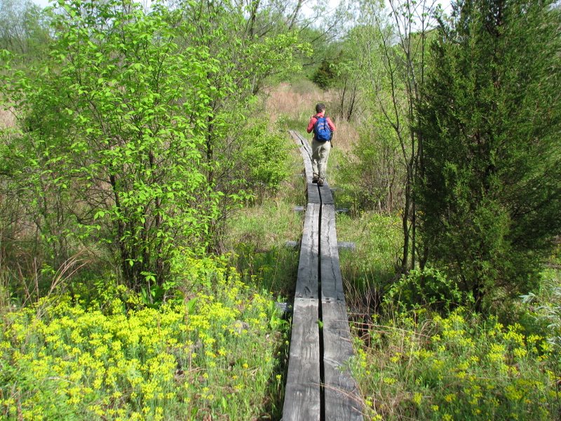
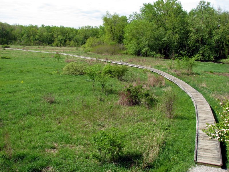
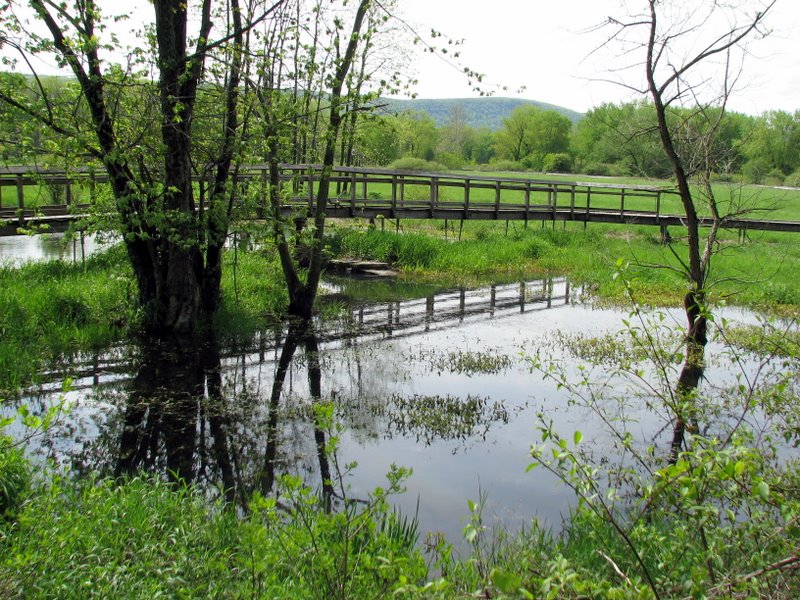
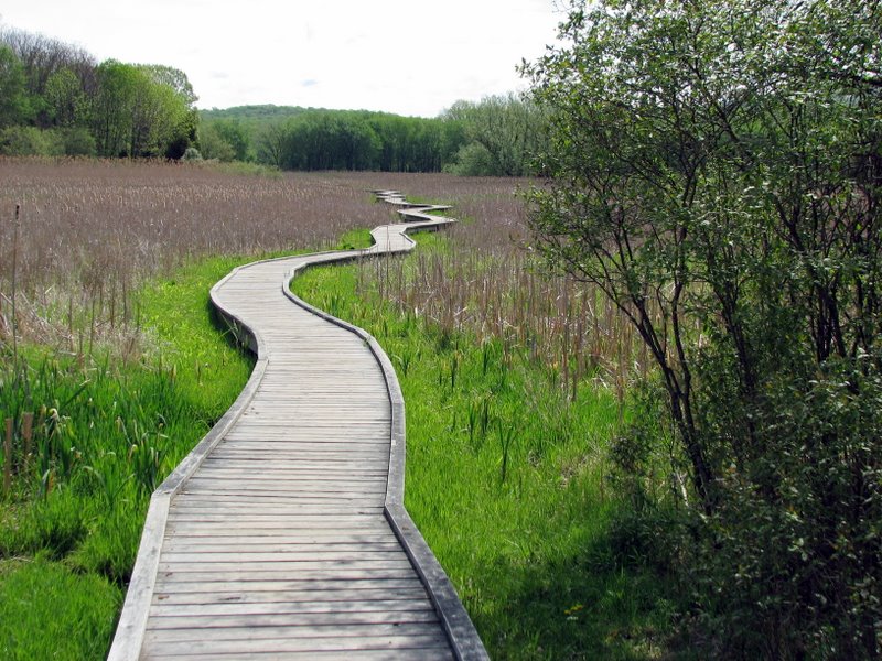
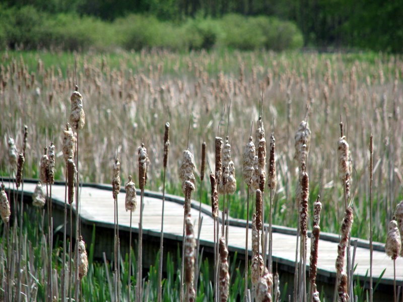
This out-and-back was our first visit to the Pochuck Swamp along the Appalachian Trail. The highlight of the hike is the incredibly impressive, sturdy
boardwalk that winds its way around the swamp for approximately 3/4's of a mile. You can follow its serpentine path on Google Earth at
41.23508 N, 74.47523 W. The swamp is alive with birds, frogs, snakes, turtles, chipmunks and squirrels ... and people. It's an attraction, and for good
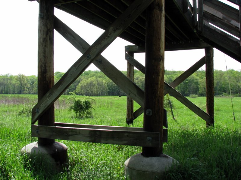
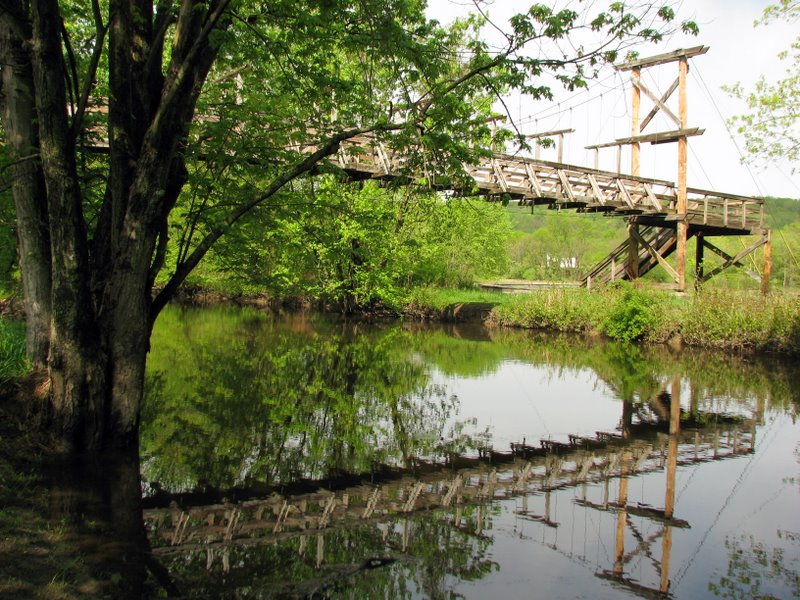
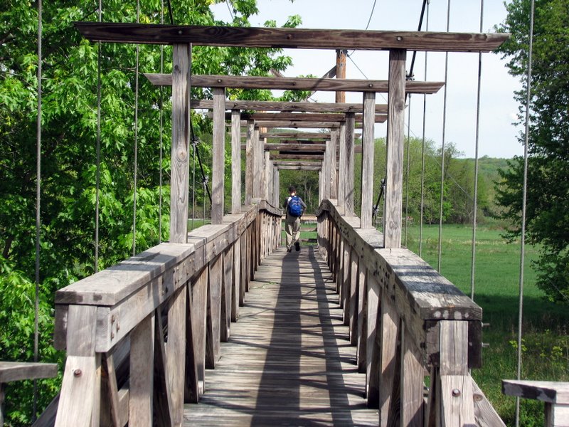
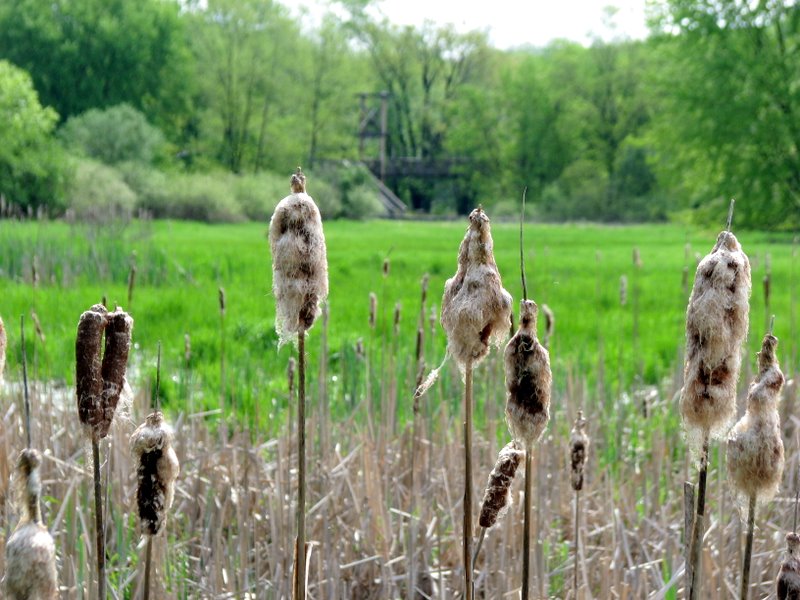
reason. Approximately 850 feet from the eastern end of the boardwalk is the equally impressive suspension bridge over Pochuck Creek.
We parked at the AT parking lot on Route 94 (the same one to use when hiking east to the Stairway to Heaven). Heading west along the AT, we passed through a cow field, where cows are free to roam ... and crap. Watch your step. Continuing west, we crossed a railroad track, crossed a bridge over Wawayanda Creek, then another strudy bridge on Canal Road, before eventually reaching the boardwalk. Since most of the hike is level, we decided to do a bit of climbing west of Route 517, where the boardwalk ends, to the eastern ridge of Pochuck Mountain. Alas, there were no views so we turned and headed back, eating lunch on one of the several benches on the boardwalk. This 6+ mile hike took us about 4 hours. The only somewhat challenging part was the steady uphill climb just west of Route 517. (Click on the thumbnail to bring up a bigger image in a pop-up window)
|
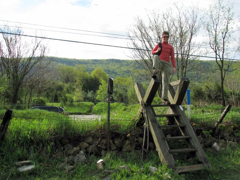 Climbing to the cow field on Route 94 |
 Surrounded by cow patties [photo by Laura] |
 |
 Wildflowers abound |
 Narrow boardwalk west of Route 94; Wawayanda Mountain in rear |
 |
 |
 |
 Blooming honeysuckle |
 Macro shot of Sumac |
 |
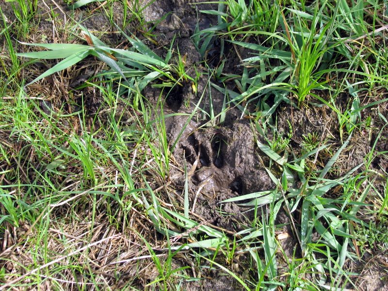 Interesting animal track |
 |
 Bridge over Wawayanda Creek |
 Crazy Laura |
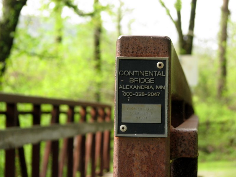 Bridge on Canal Road |
 |
 |
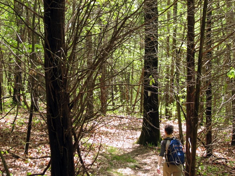
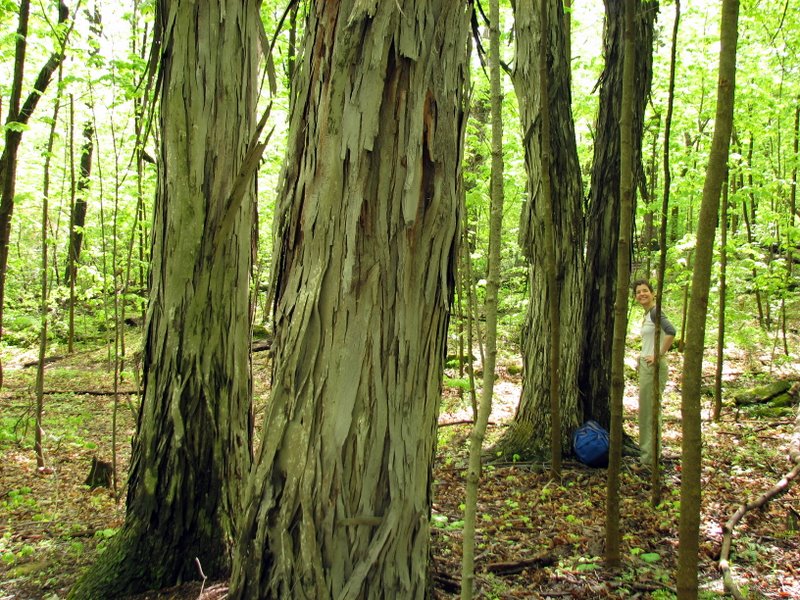 Towering shagbark hickories |
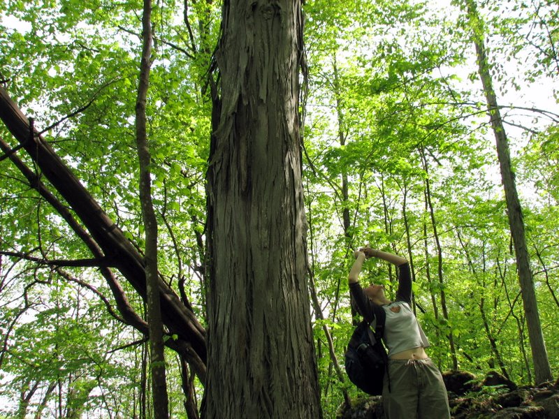 Laura taking ... |
 ... this photo [photo by Laura] |
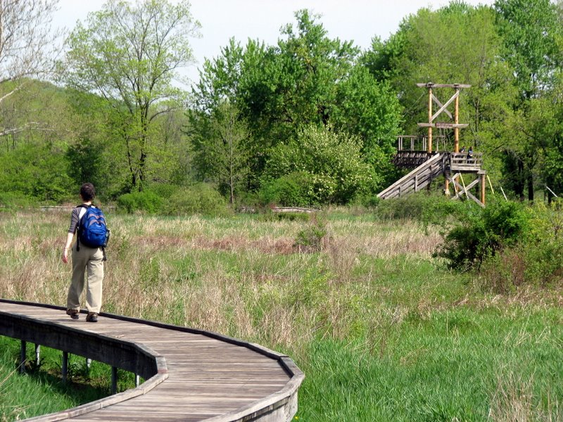 Boardwalk and suspension bridge |
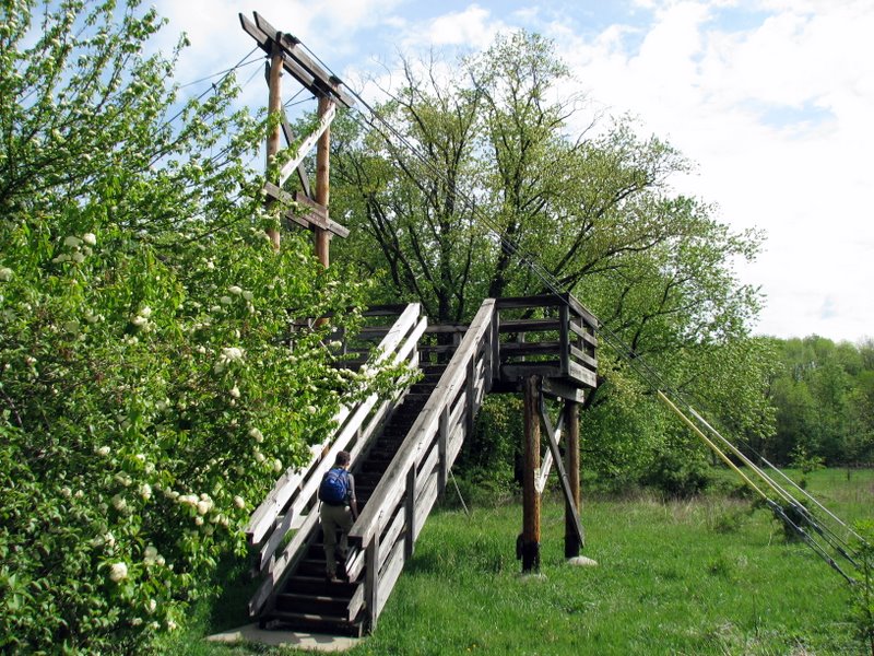 Climbing the suspension bridge |
 |
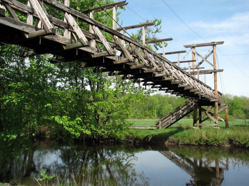 |
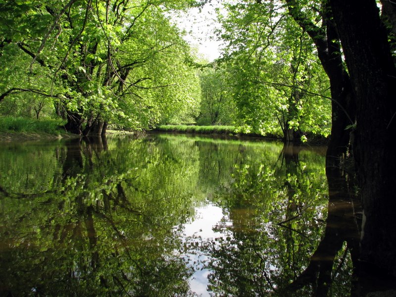 Beautiful Pochuck Creek |
 |
 |
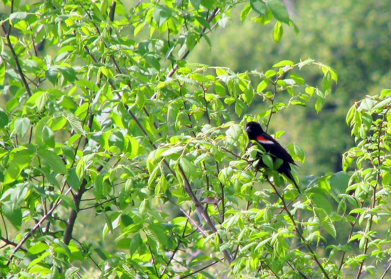 Red-winged blackbirds were all over |
 |
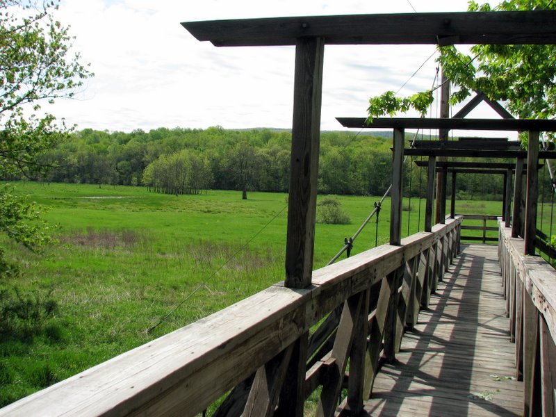
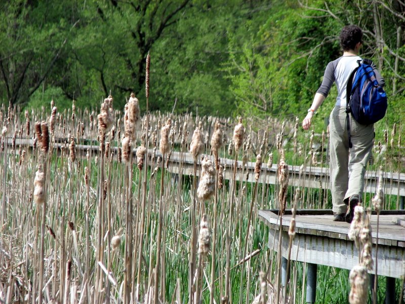
 850-foot boardwalk east of bridge |
 |
 |
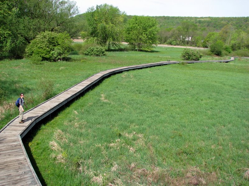 One segment of boardwalk west of bridge |
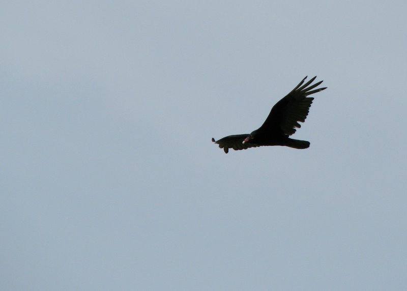 Turkey vulture |
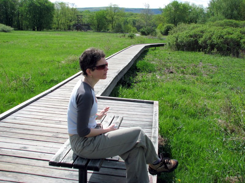 Our lunch spot |
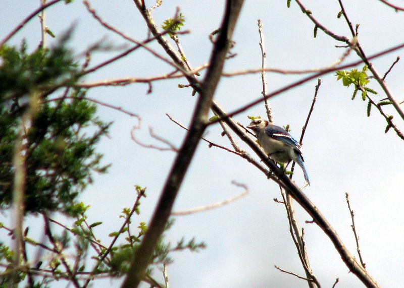
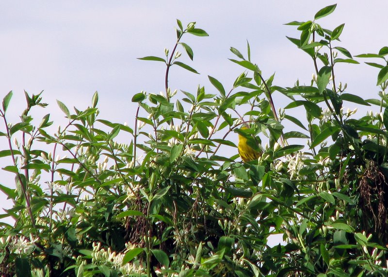 Shy Oriole? |
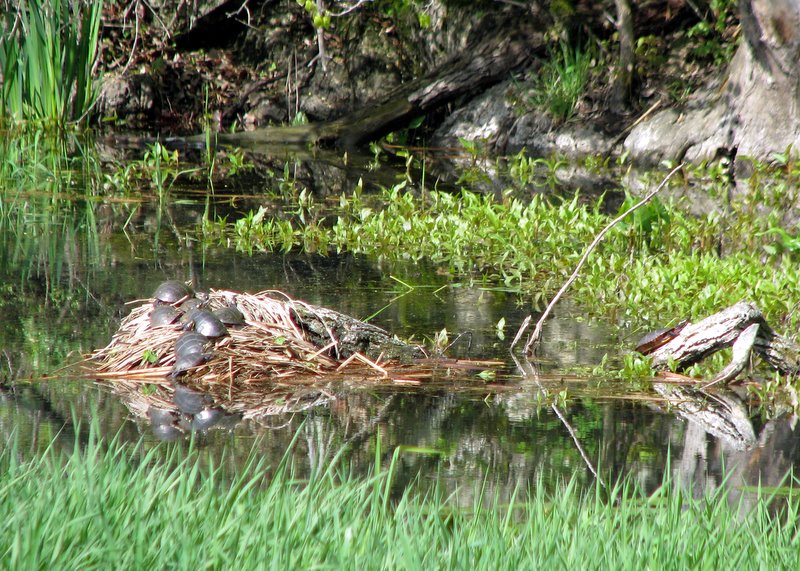 Turtles sunning themselves |
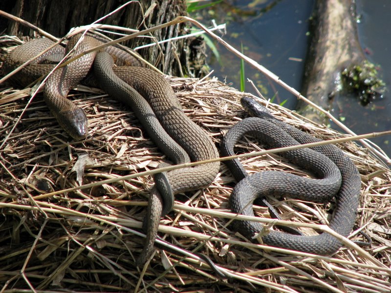 And snakes |
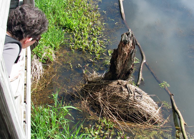 Getting a better view |
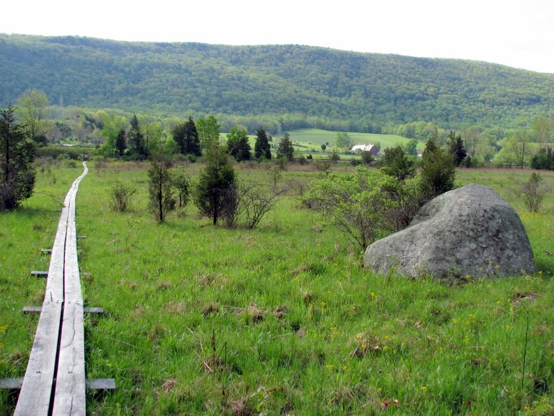
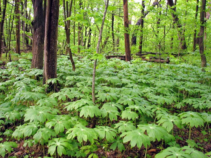
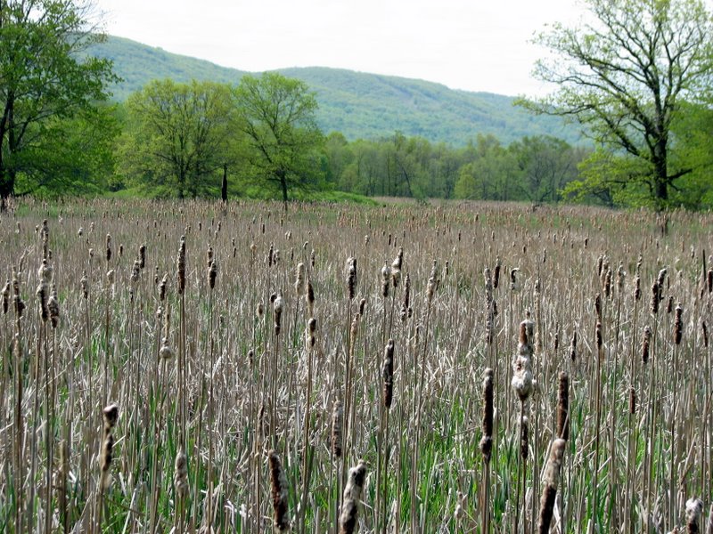
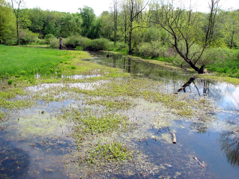 Pochuck Swamp |
 |
 Second segment west of bridge |
 |
 |
 Wawayanda Mountain in rear |
 |
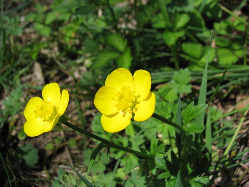
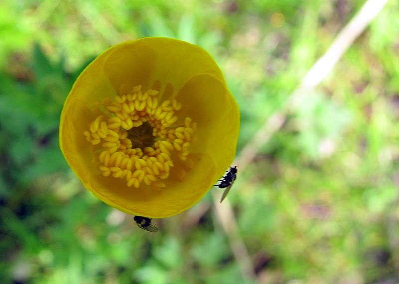 Buttercup |
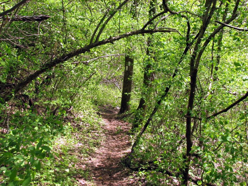 Tight AT on Pochuck Mountain |
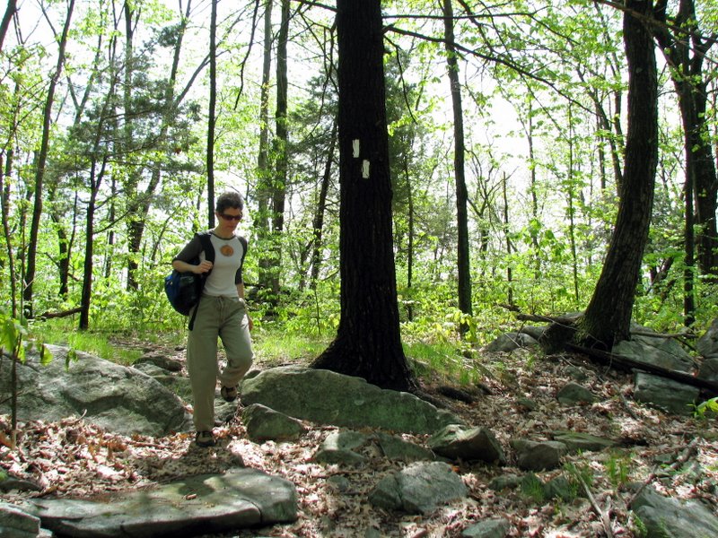 Near top of eastern ridge of Pochuck Mountain |
 |
 |
 |
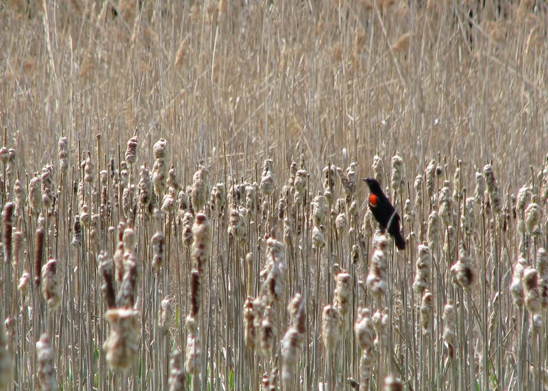 Red-winged blackbird |
 |
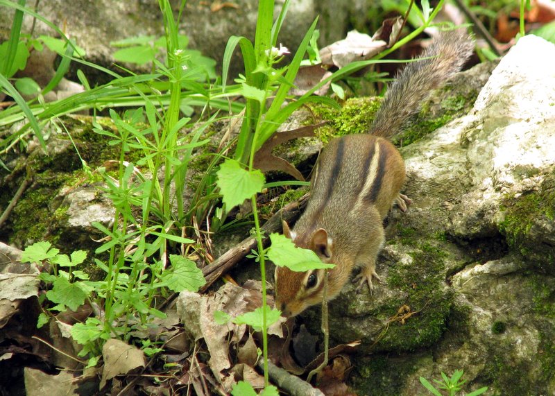 Chipmunk |
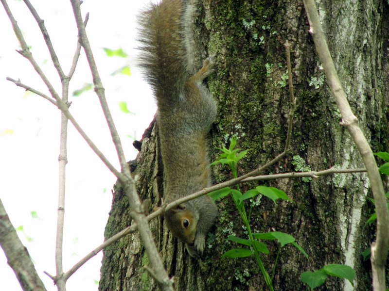 Squirrel |
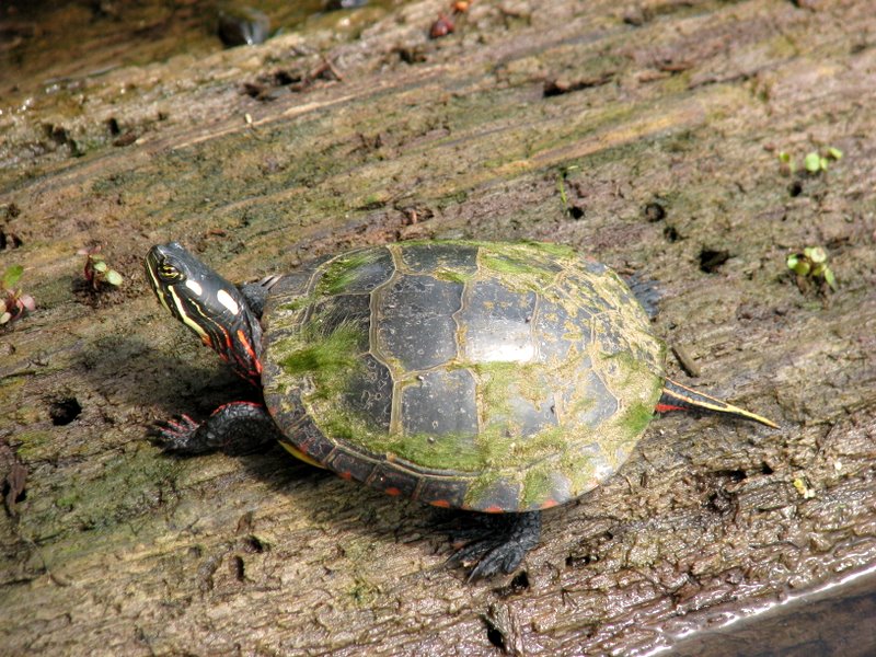 Turtle |
 |
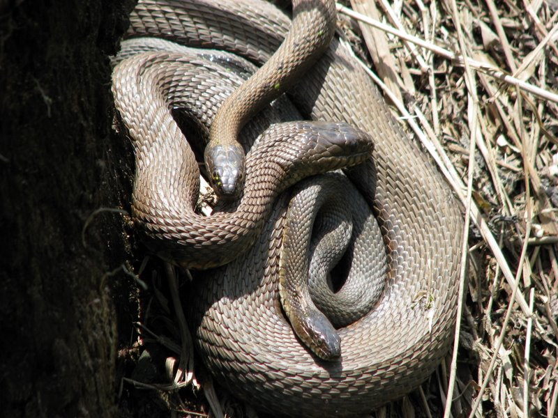 Snakes are still there |
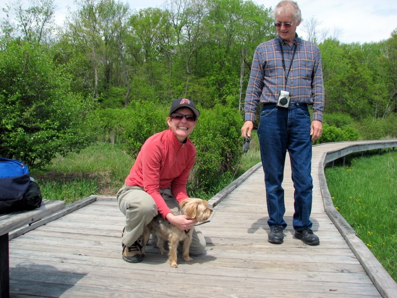 Ashley and John |
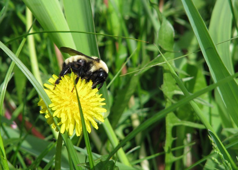 Bumble bee |
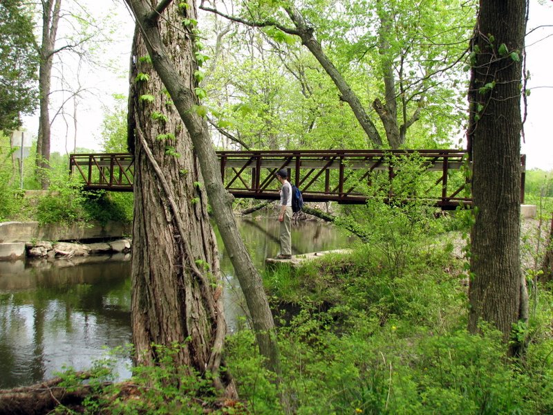 Bridge on Canal Road |
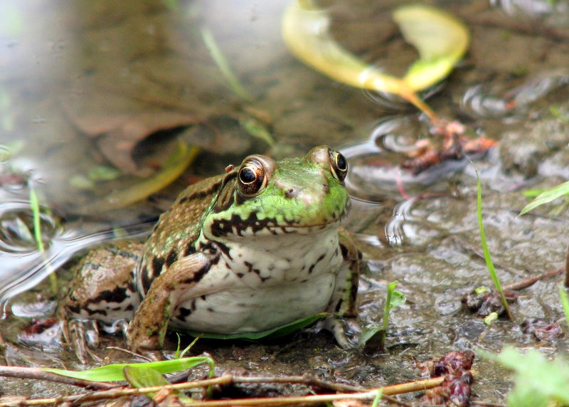
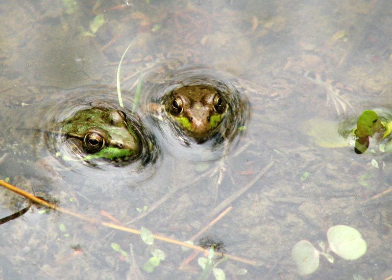 Frogs off the AT |
 |
 |
 |
 Canal just off Canal Road |
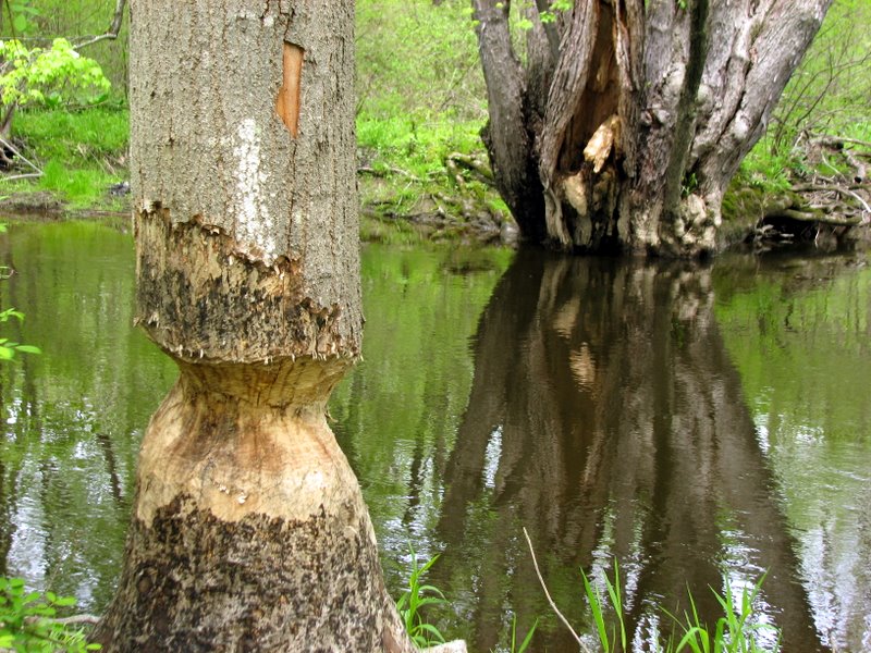 Signs of busy beavers |
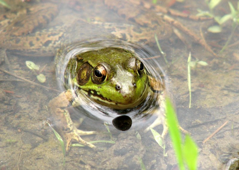
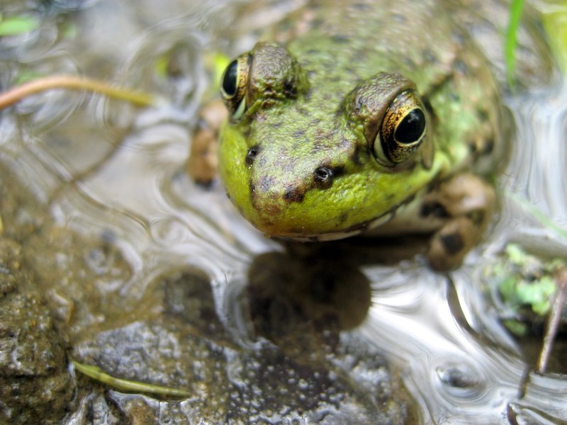 Macro of frog [photo by Laura] |
 Interesting mushroom |
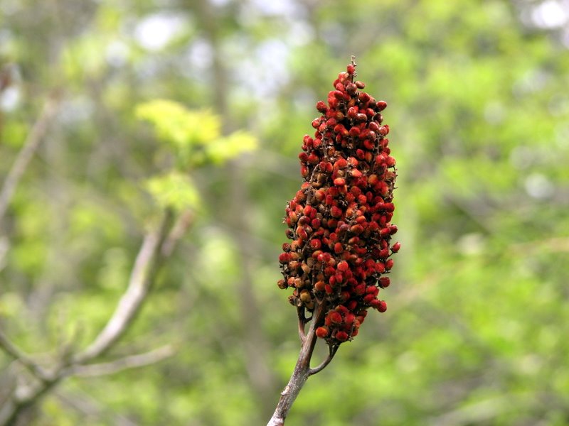 Sumac |
 |
 [Photo by Laura] |
 Heading back to Route 94 |
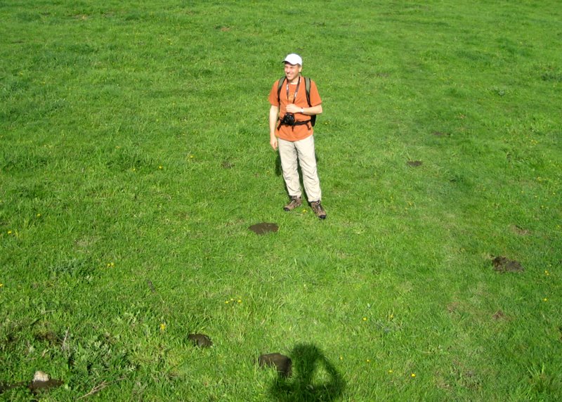
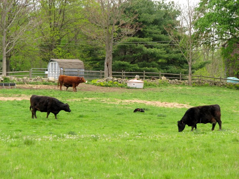 The cows of the cow field |

|
|
Photographs and content copyright © Dan Balogh Web design by Dan Balogh |