 |
|
Last week we visited three small preserves in central New Jersey and had so much fun that we decided to continue our exploration of the
smaller hiking areas of central New Jersey today. Once again we visited three more places that are actually within about 3-4 minutes of each other by car. This
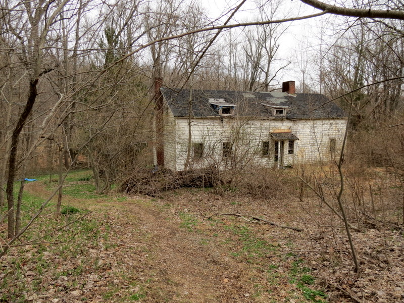
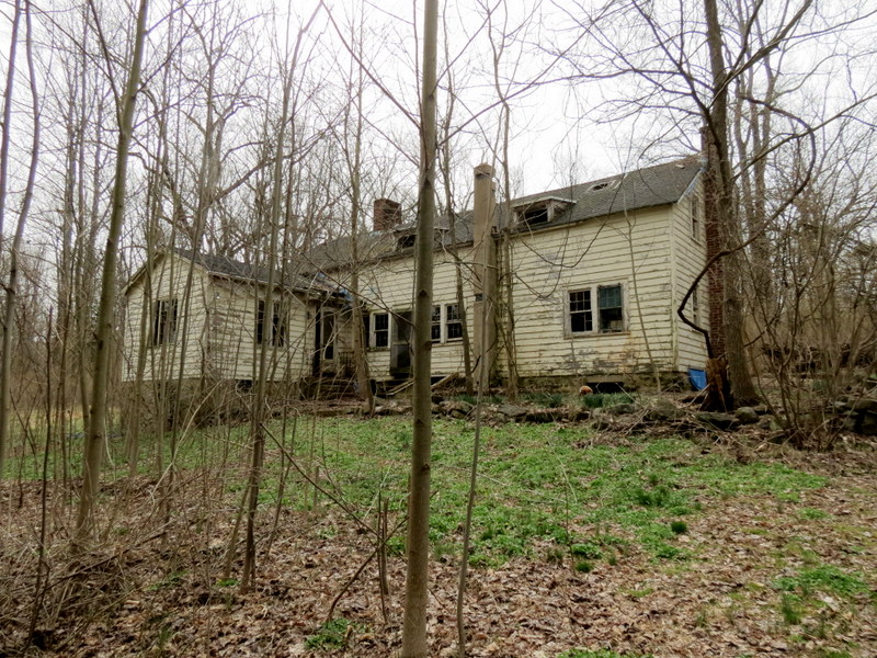
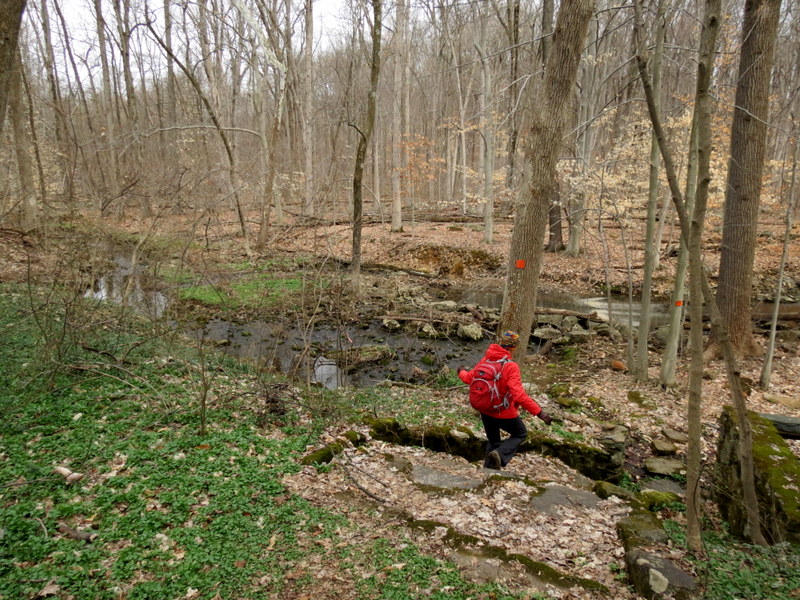
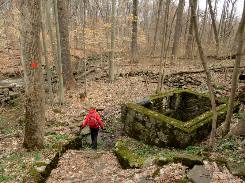
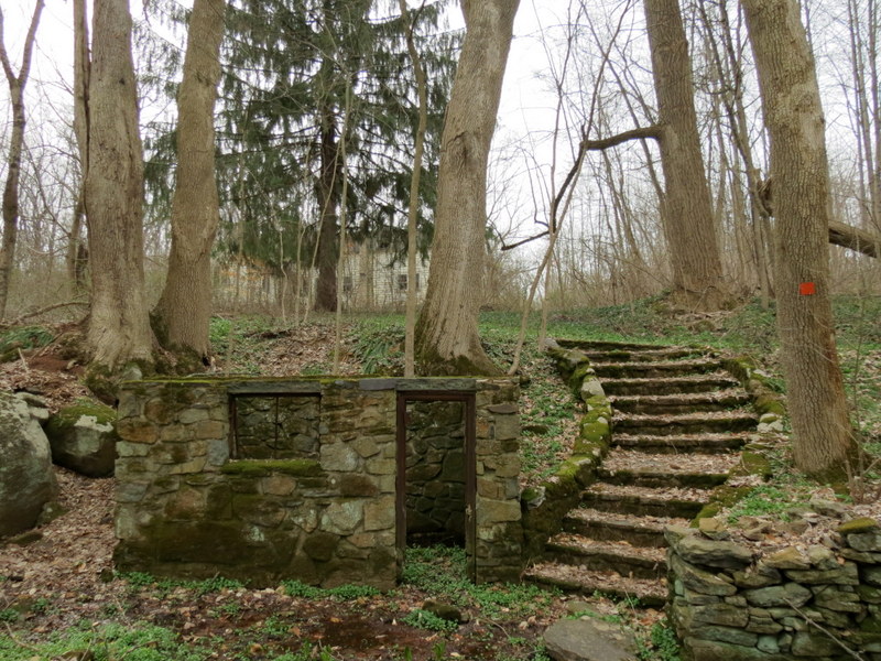
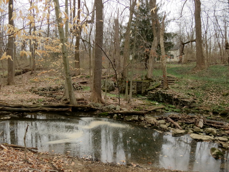
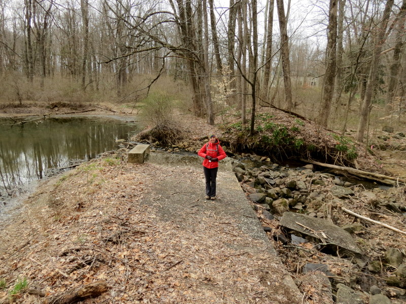
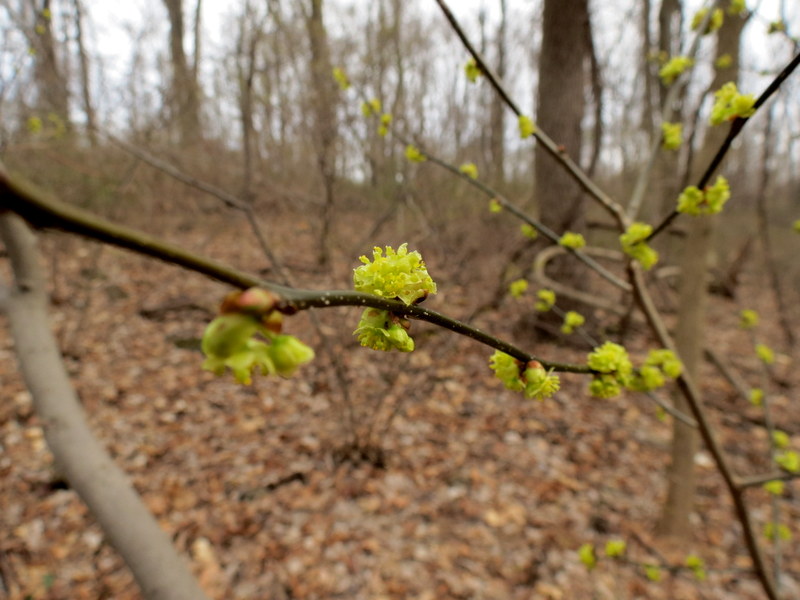
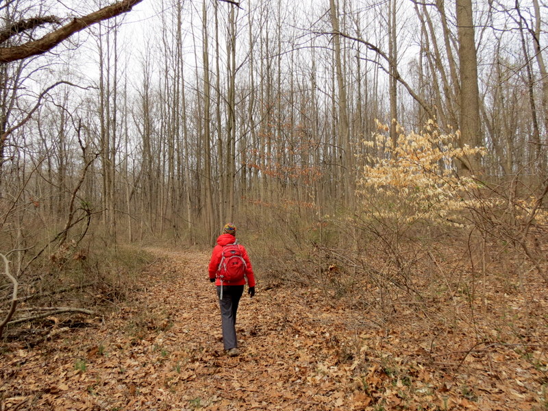
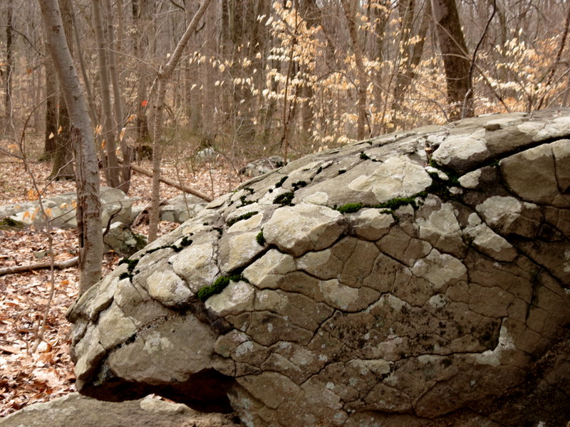
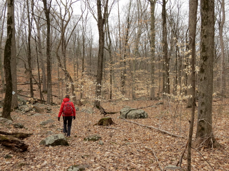
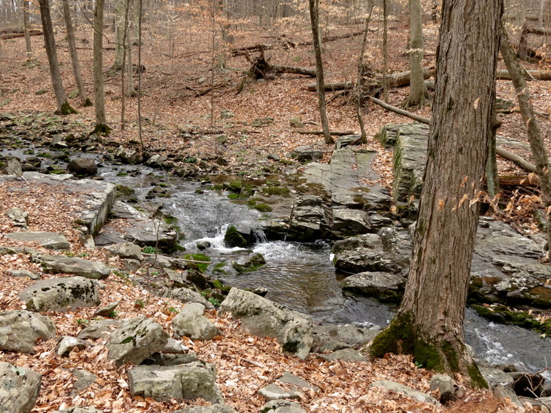
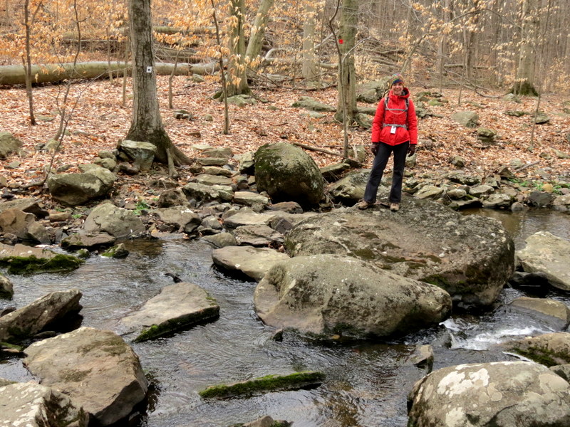
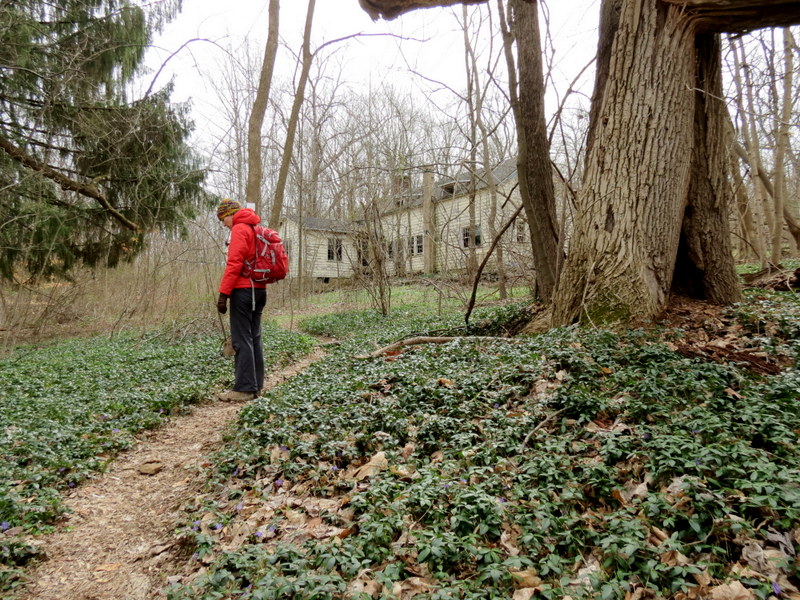
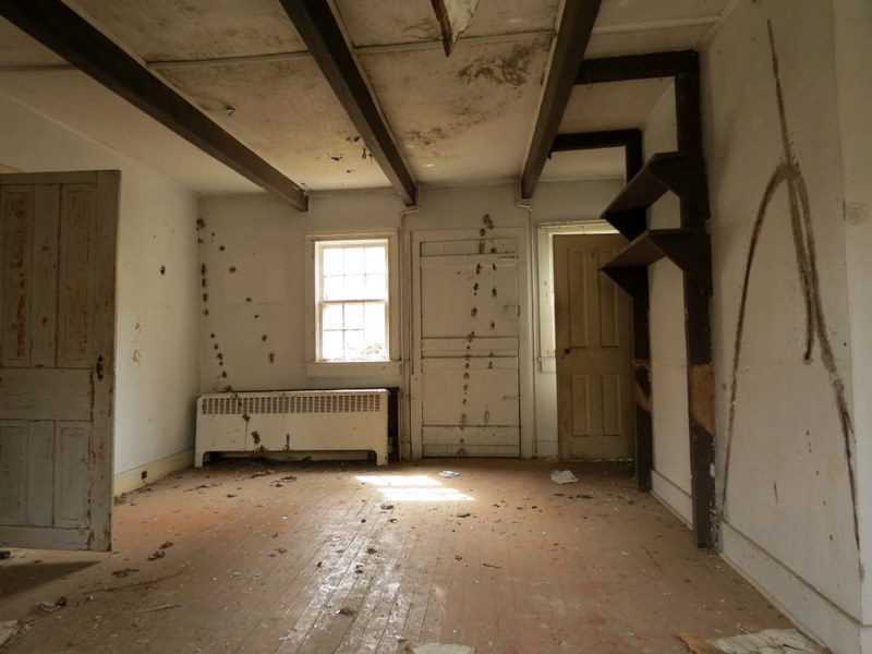
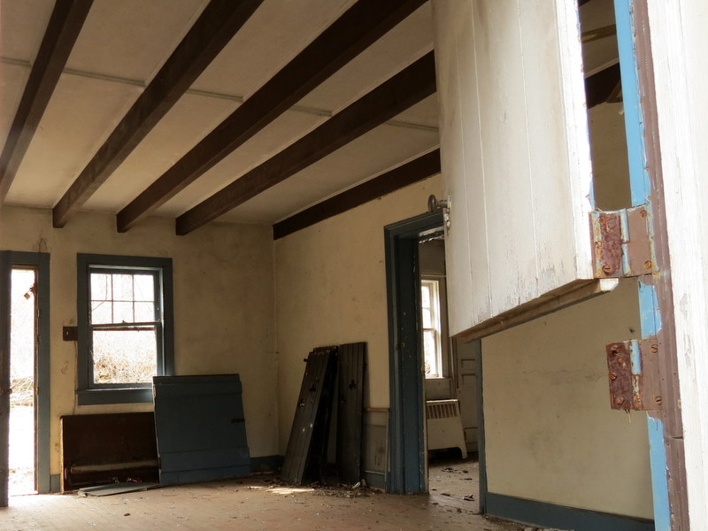
beautiful preserve, by far the most interesting of the three (and perhaps of the six from the past two weekends), is the last of the three that we visited today.
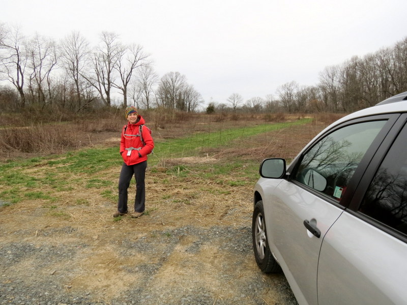
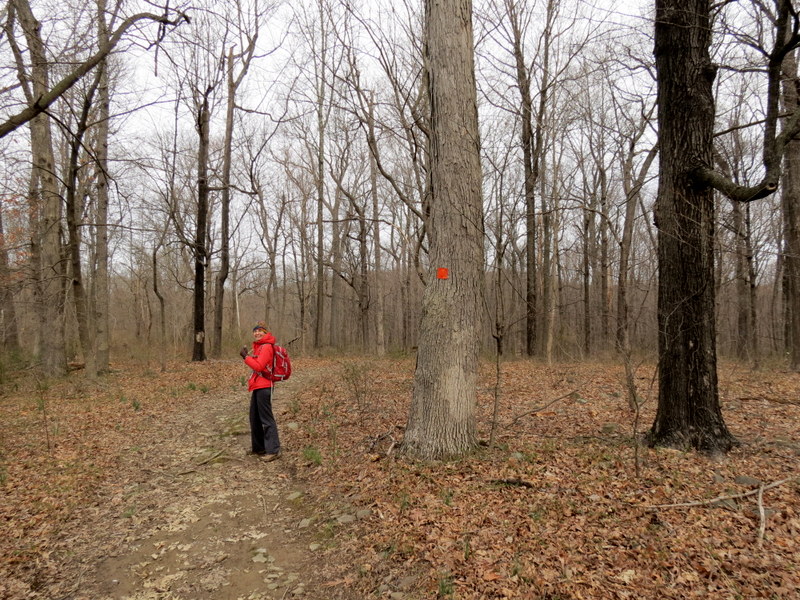
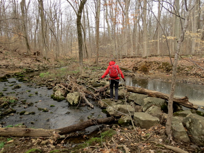
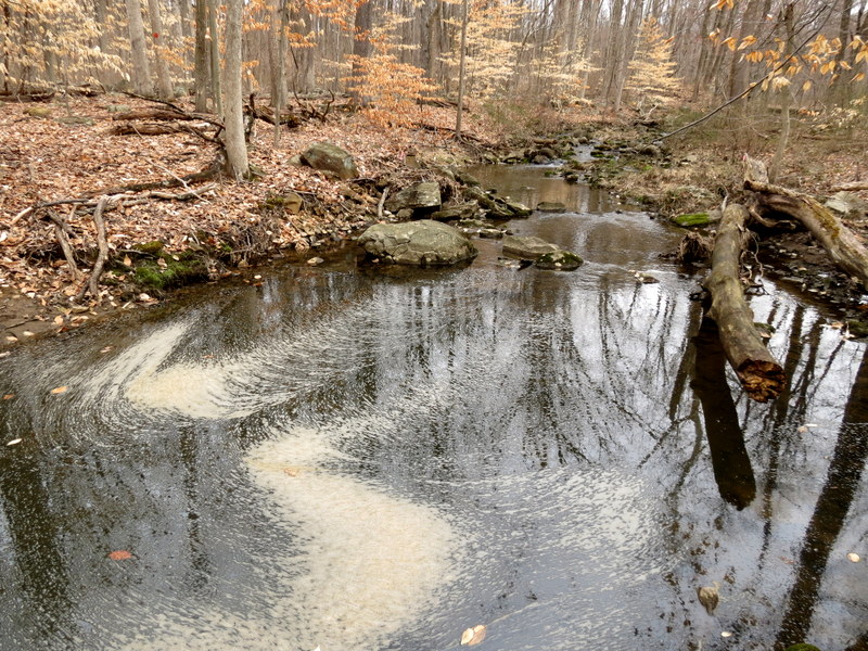
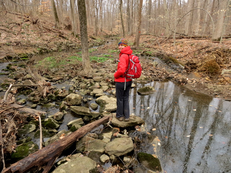
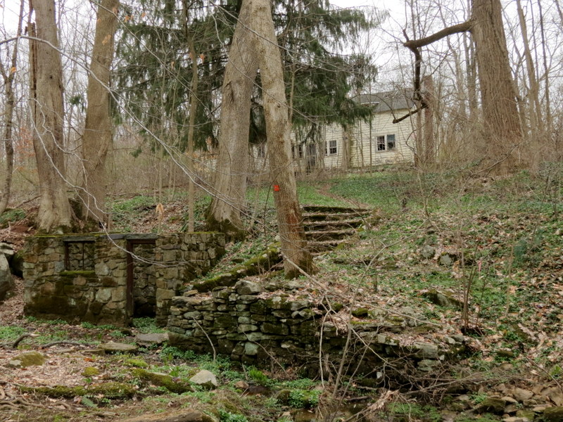
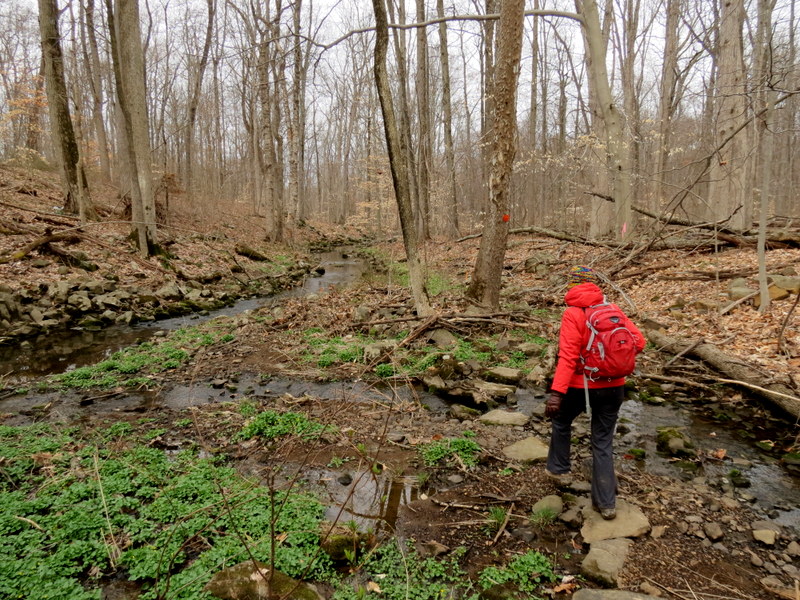
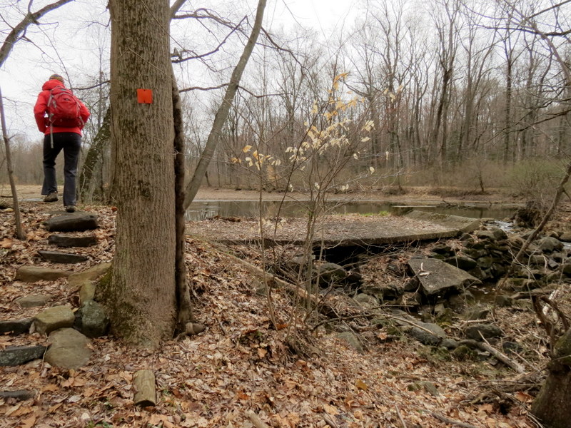
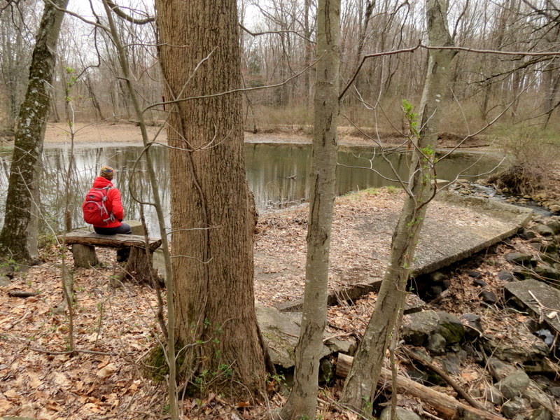
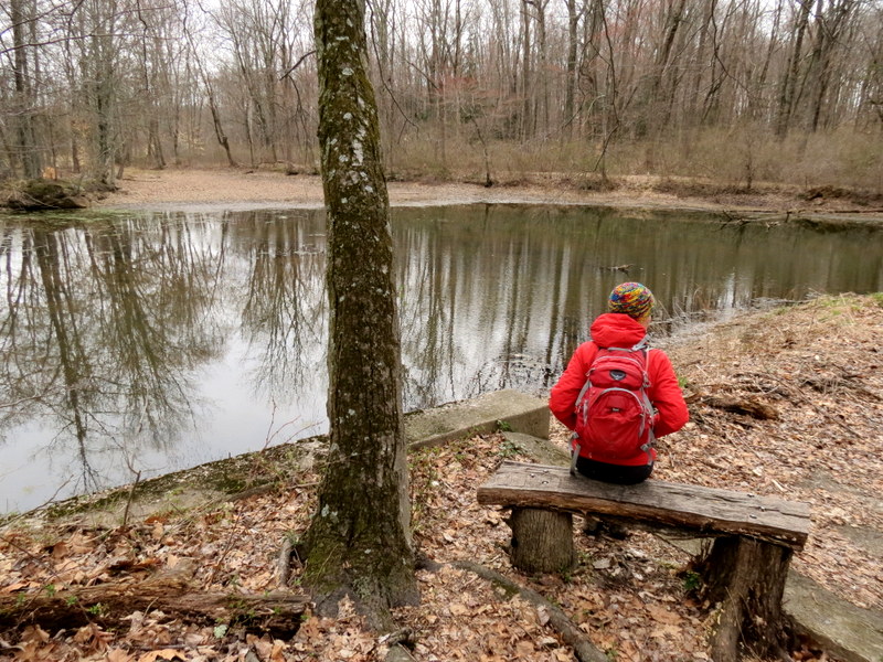
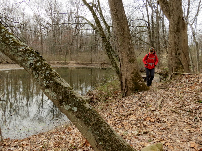
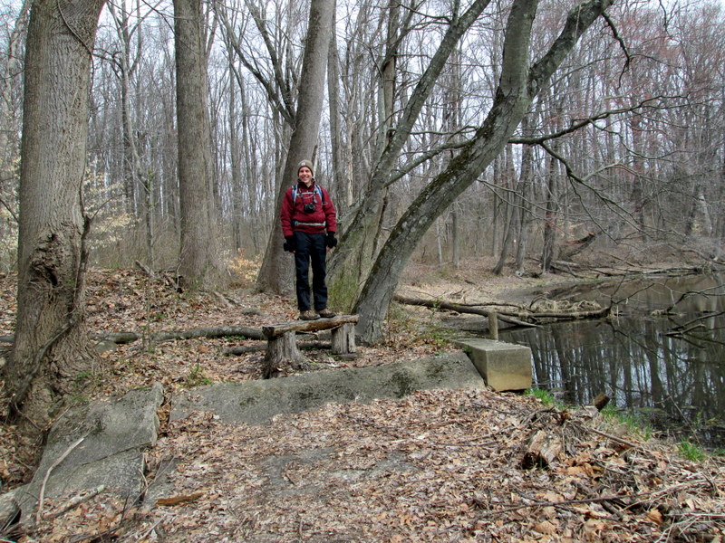
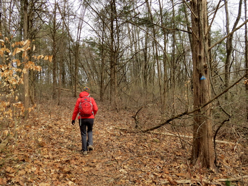
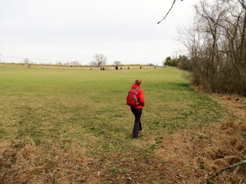
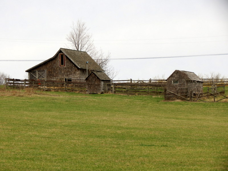
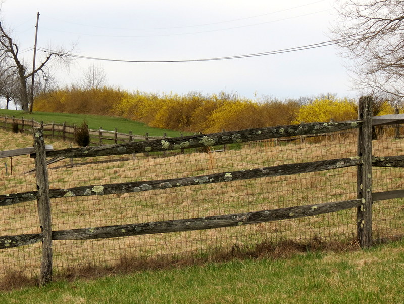
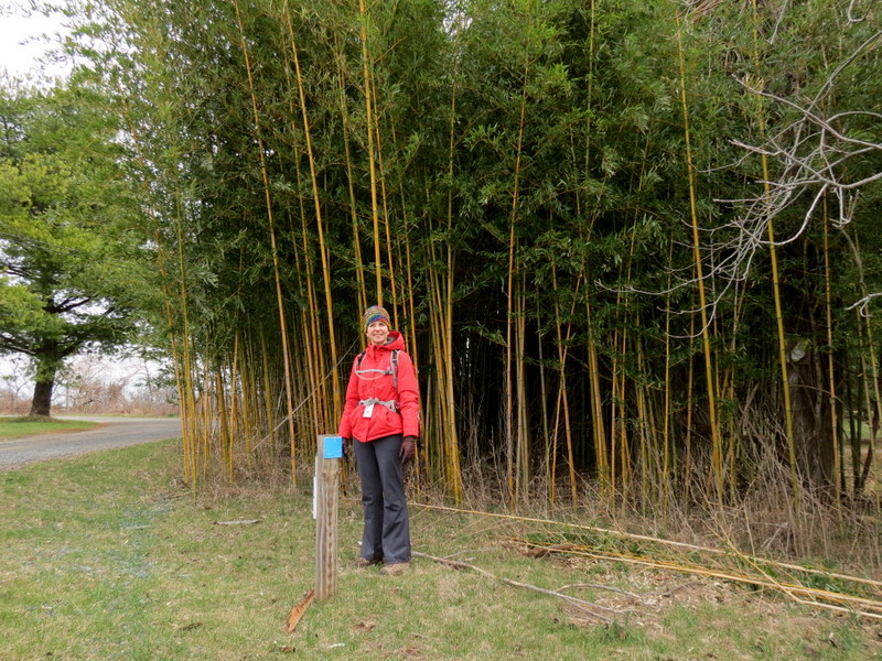
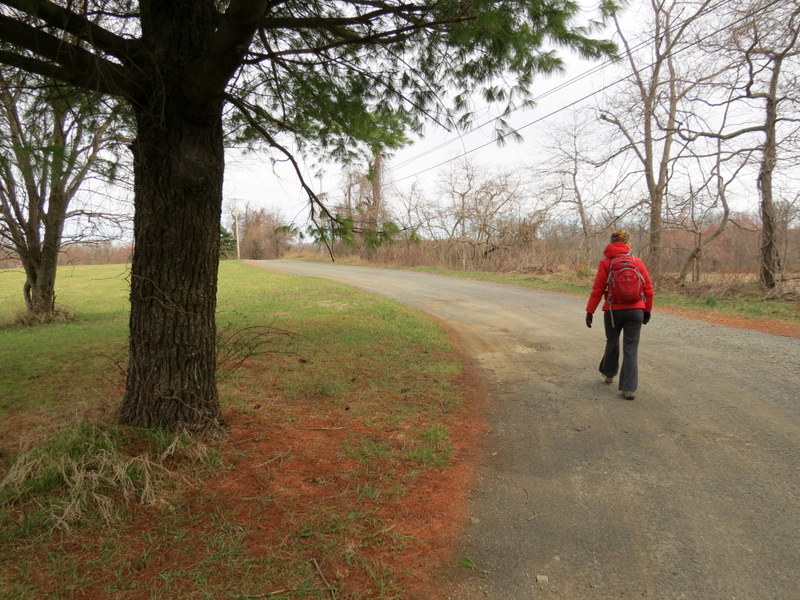
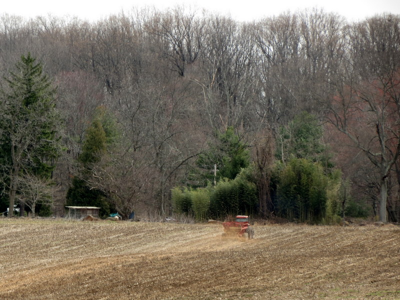
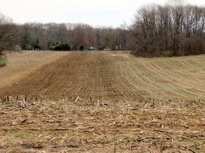
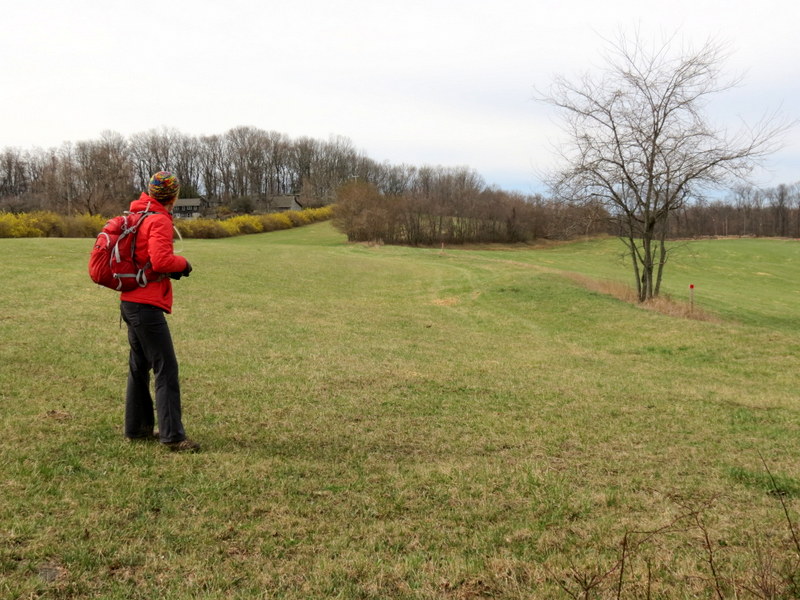
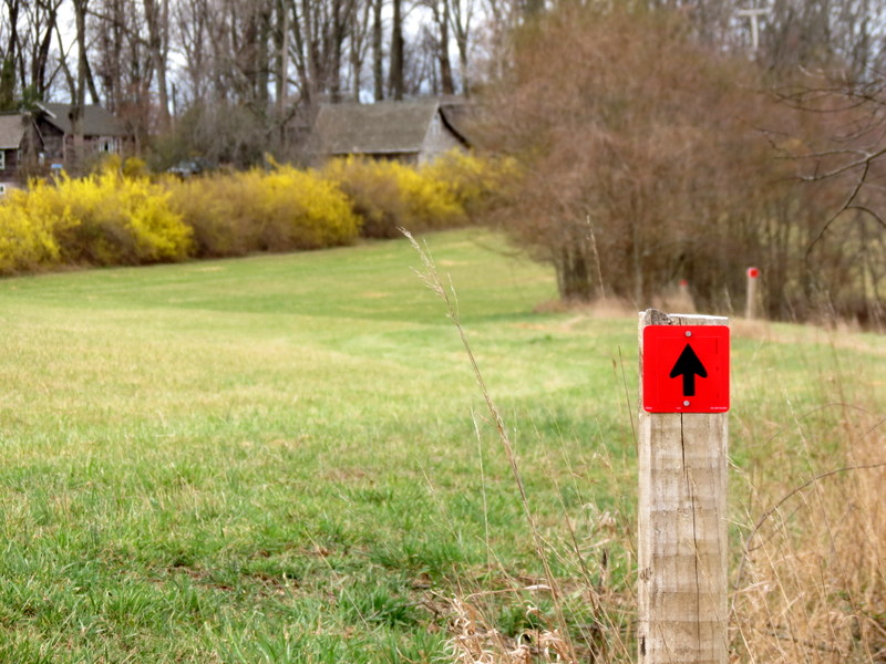
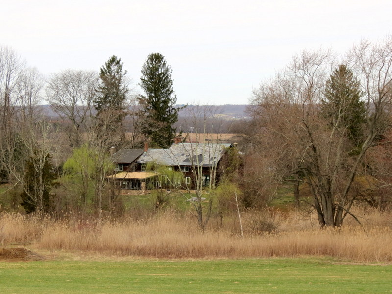
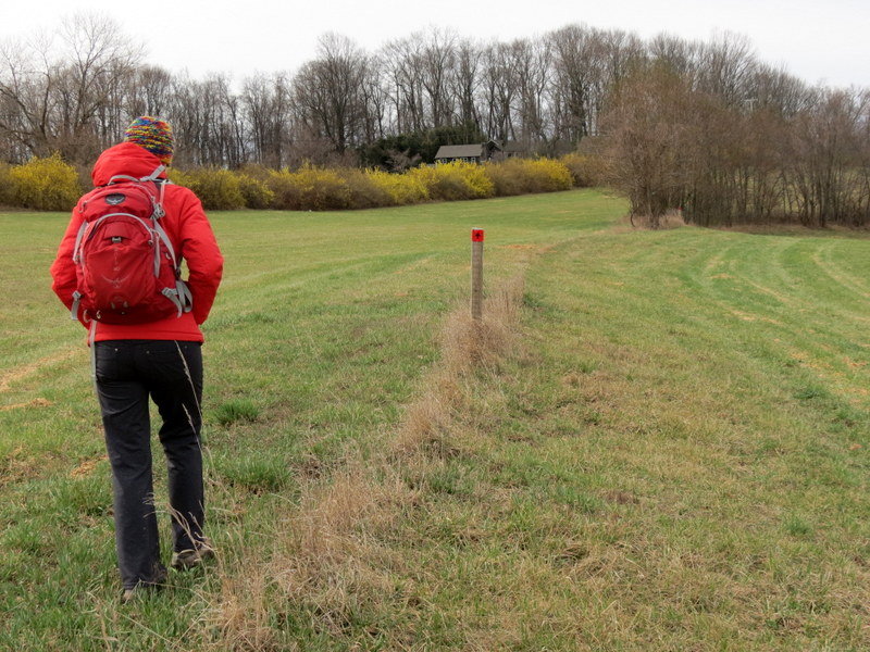
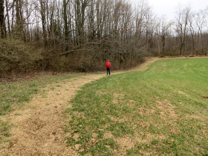
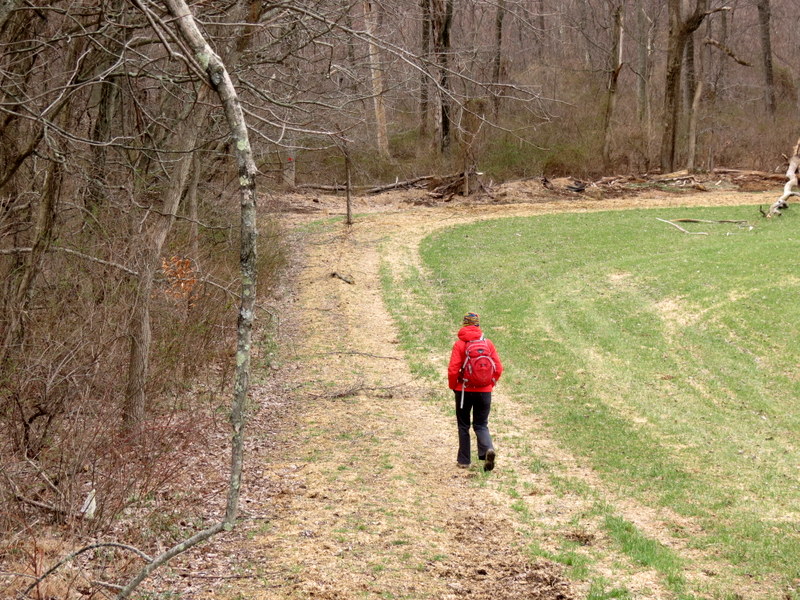
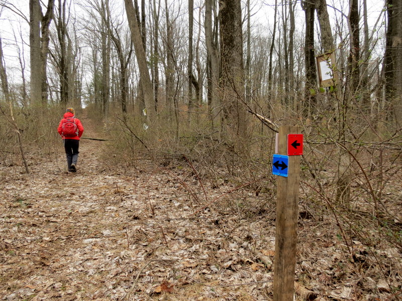
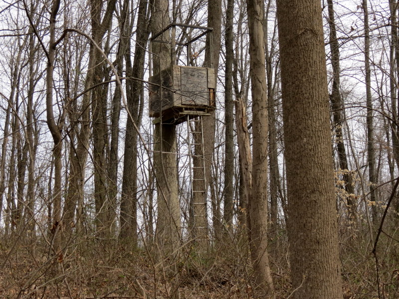
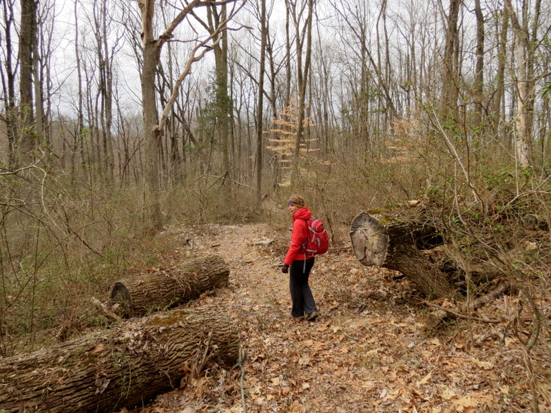
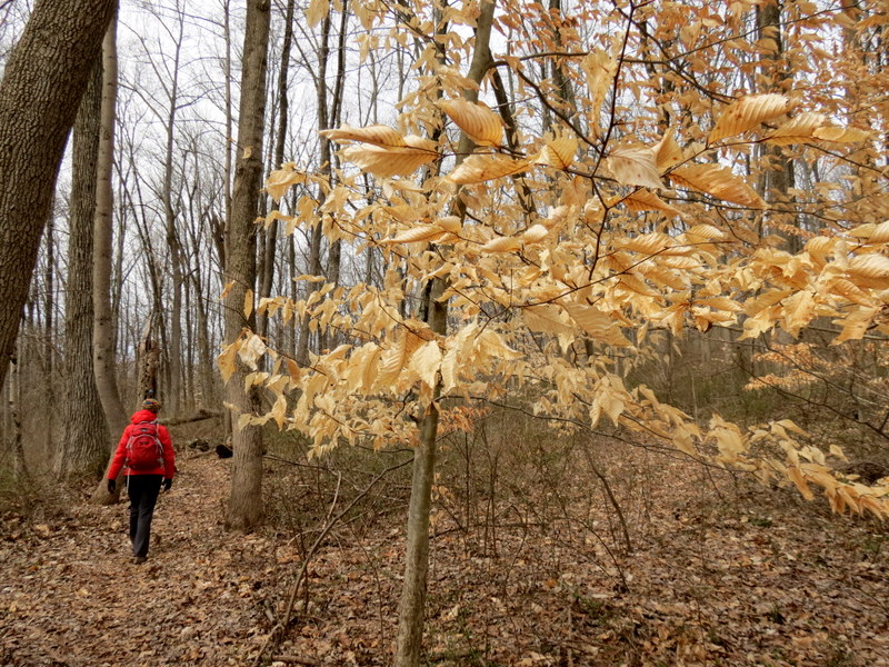
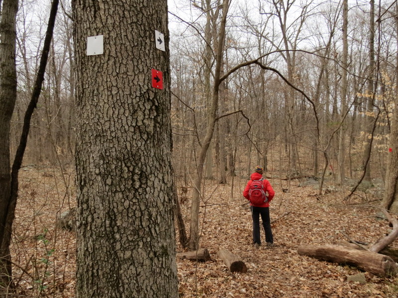
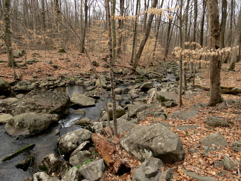
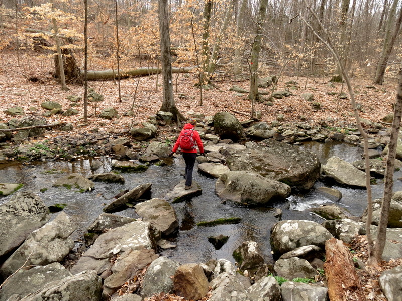
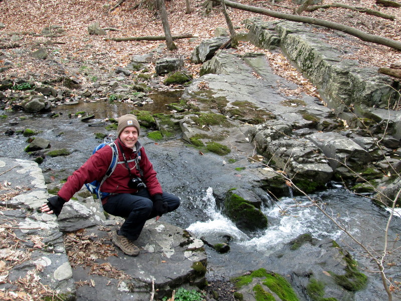
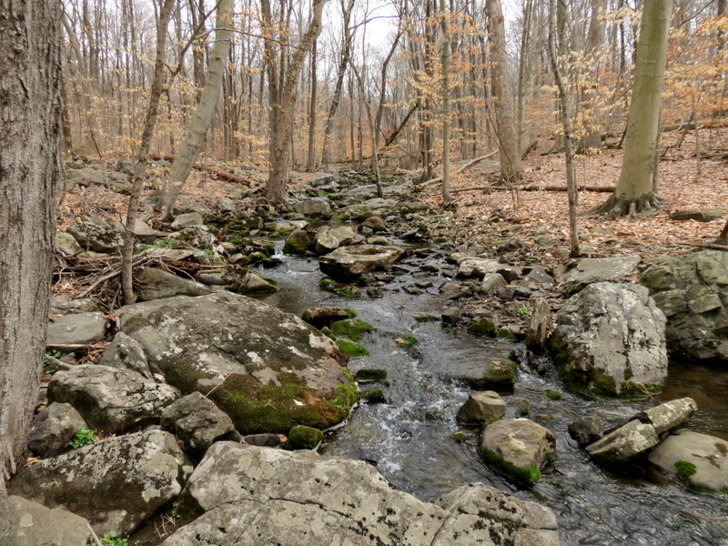
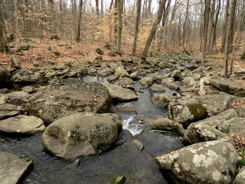
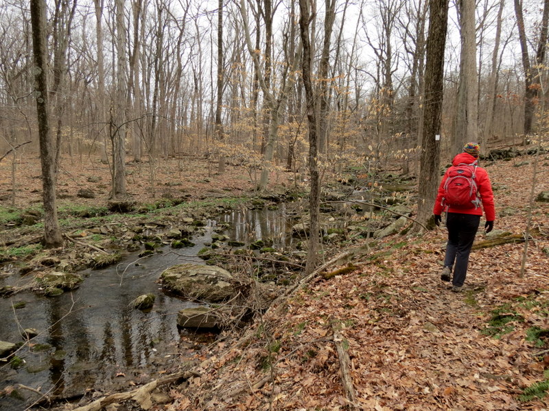
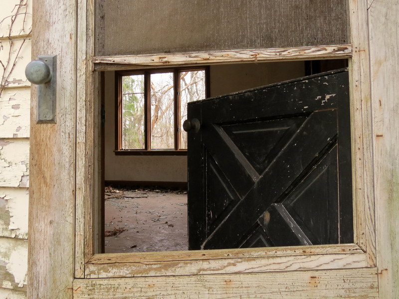
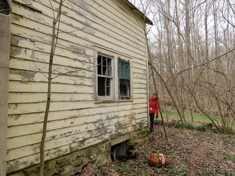
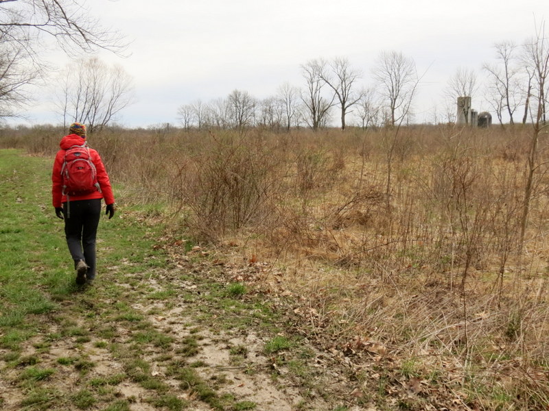
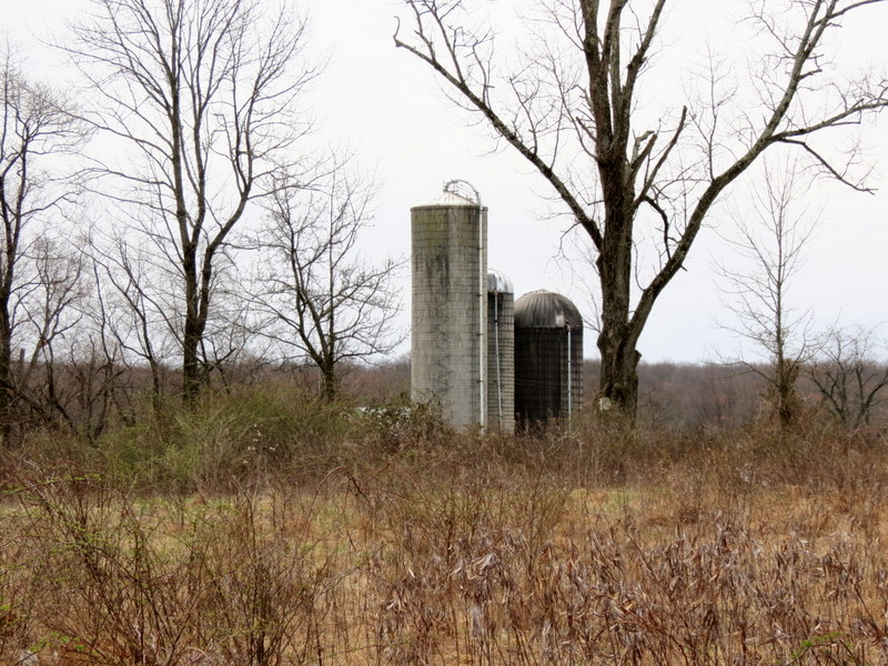
Using this map, we parked in the large lot for the Alexauken Creek Wildlife Management Area (no hunting today) and took the mowed path north through the field until it became blazed orange. We continued north passing an abandoned house set on a hill with a gorgeous view to a damn and the Alexauken Creek. We continued on Orange, then took Blue north, crossing a private farm road by a bamboo thicket and continue north until a Red trail cut through a farm field at Diamond Creek Farm. This we took west to the northern rung of Blue which we took east, then south to the next rung of Blue and this time we headed west to White. It's important here to note this white trail doesn't appear on a new map from the Sourland Conservancy. Pity because it's one of the highlights of the area. We headed south on White, crossing the creek and then continuing east back to the abandonded house and then returned south to our car. Total distance hiked was 2.6 miles in just under 90 minutes.
|
 |
 |
 |
 |
 |
 |
 |
 |
 |
 |
 |
 |
 |
 |
 |
 |
 |
 |
 |
 |
 |
 |
 |
 |
 |
 |
 |
 |
 |
 |
 |
 |
 |
 |
 |
 |
 |
 |
 |
 |
 |
 |
 |
 |
 |
 |
 |
 |
 |
 |
 |
 |
 |
 |
 |
 |
 |
 |
 |
 |
 |
 |
 |
 |
 |
 |
 |
 |
 |
 |
 |
 |

|
|
Photographs and content copyright © Dan Balogh Web design by Dan Balogh |