 |
|
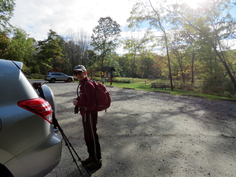
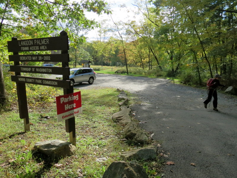
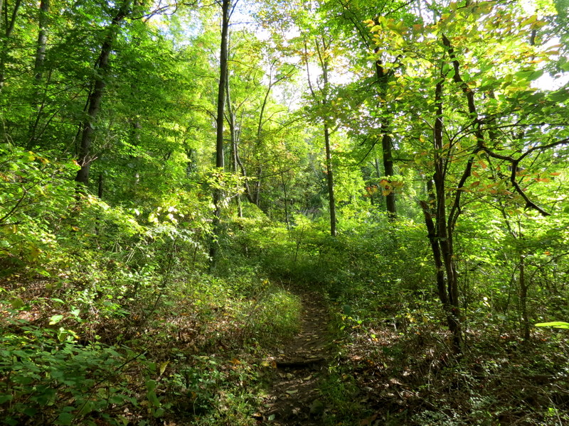
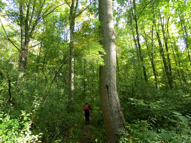
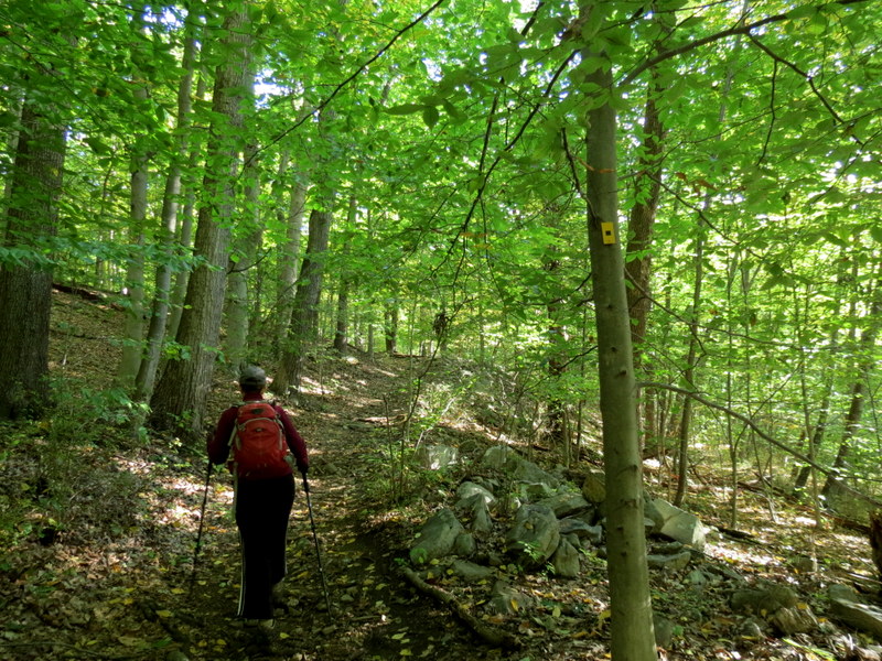
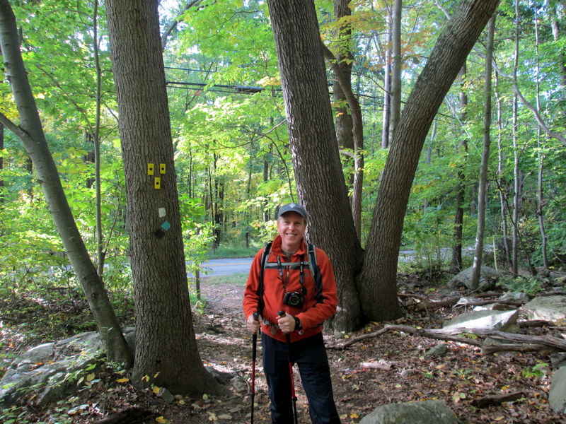
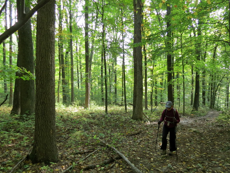
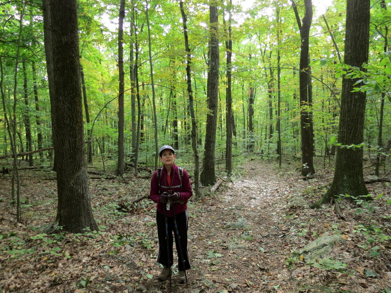
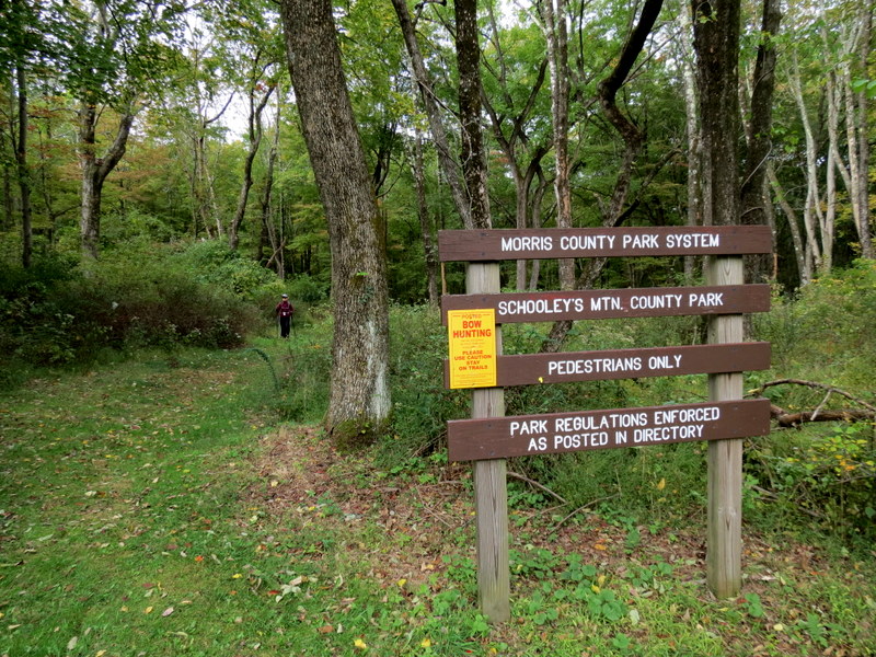
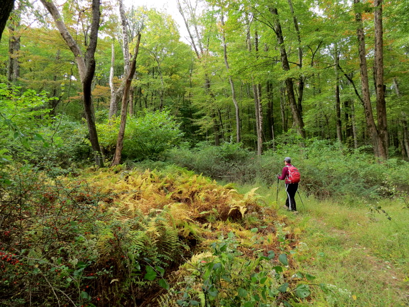
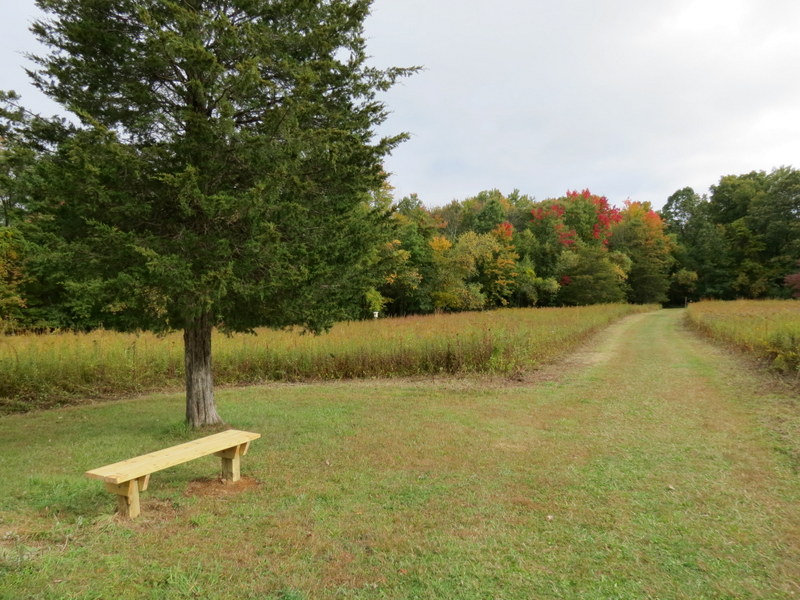
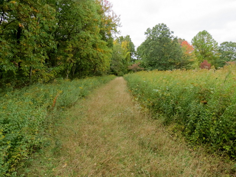
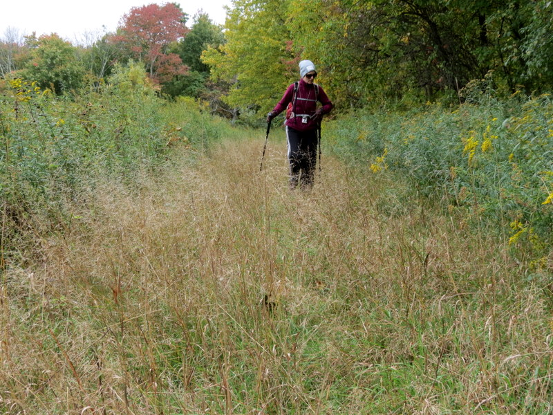
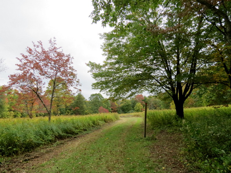
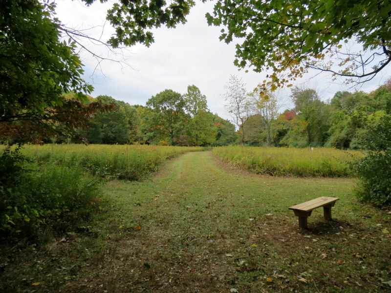
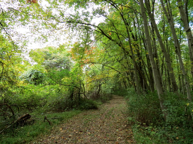
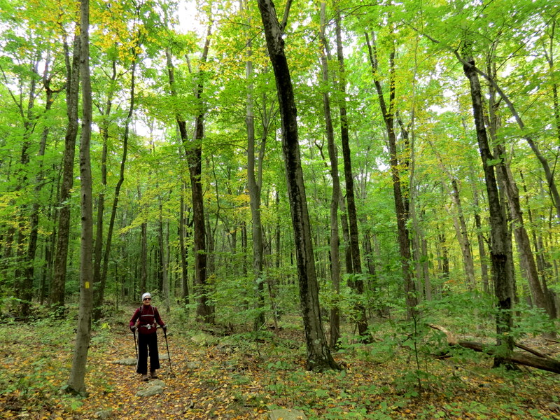
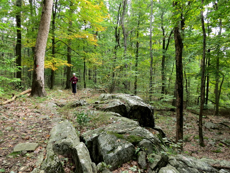
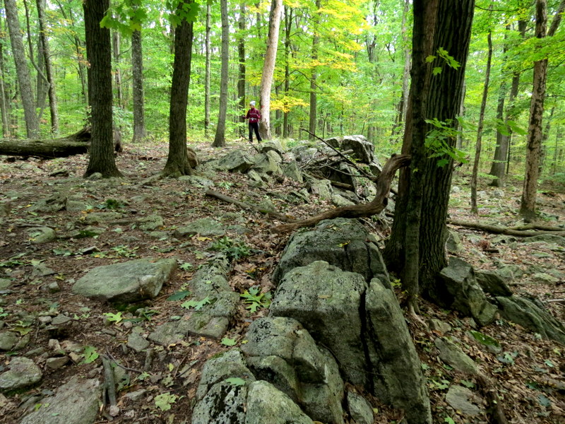
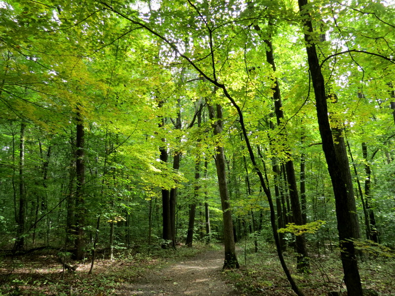
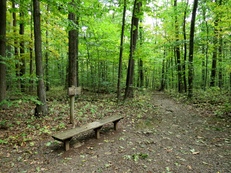
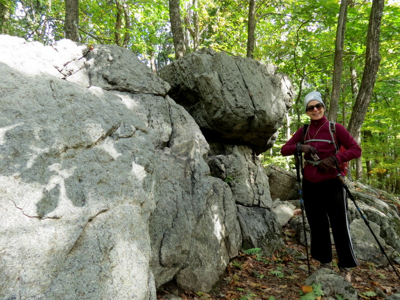
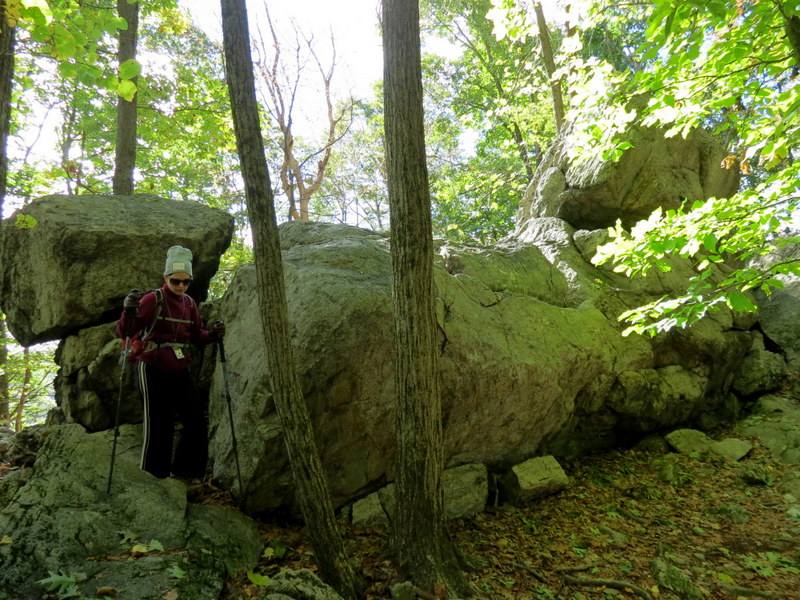
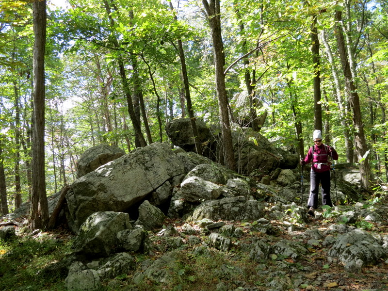
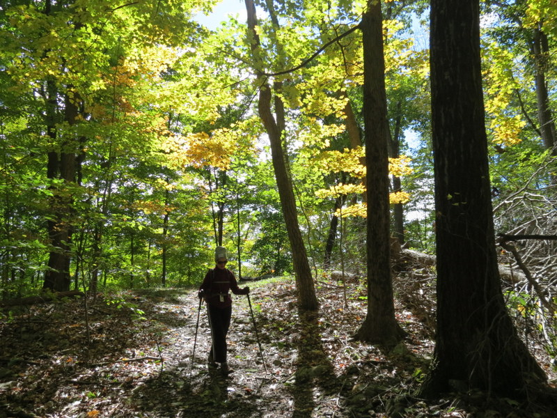
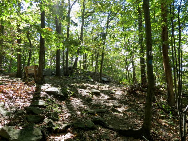
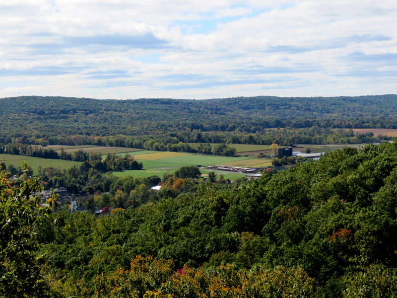
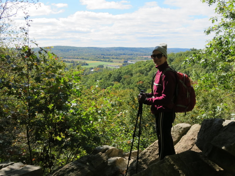
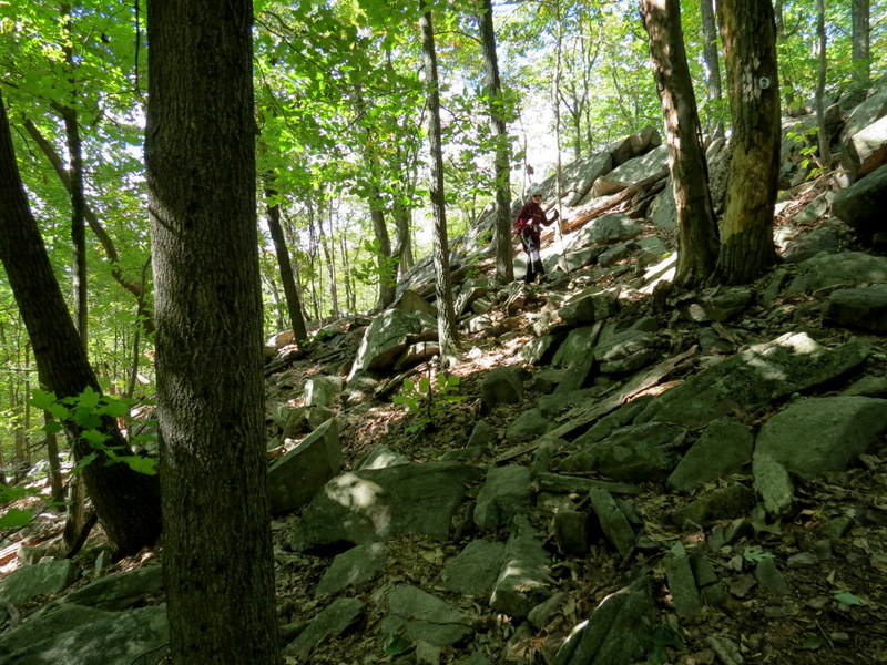
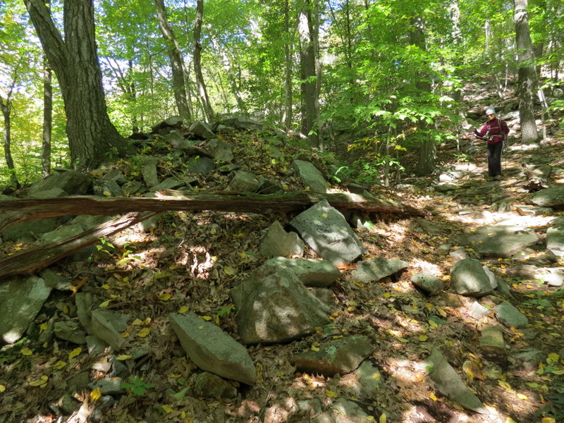
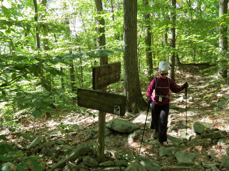
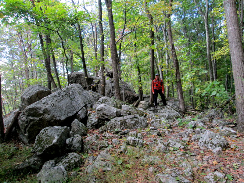
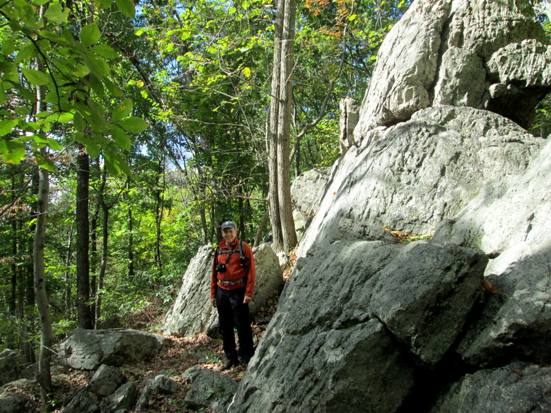
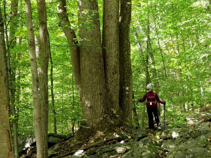
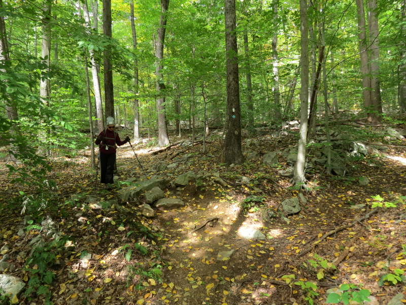
We hiked this beautiful county park just last year, but decided to return today for its proxmity, and the wide variety of trails.
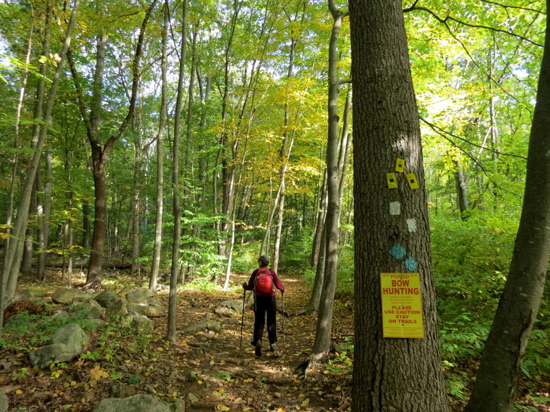
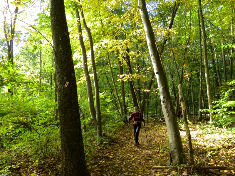
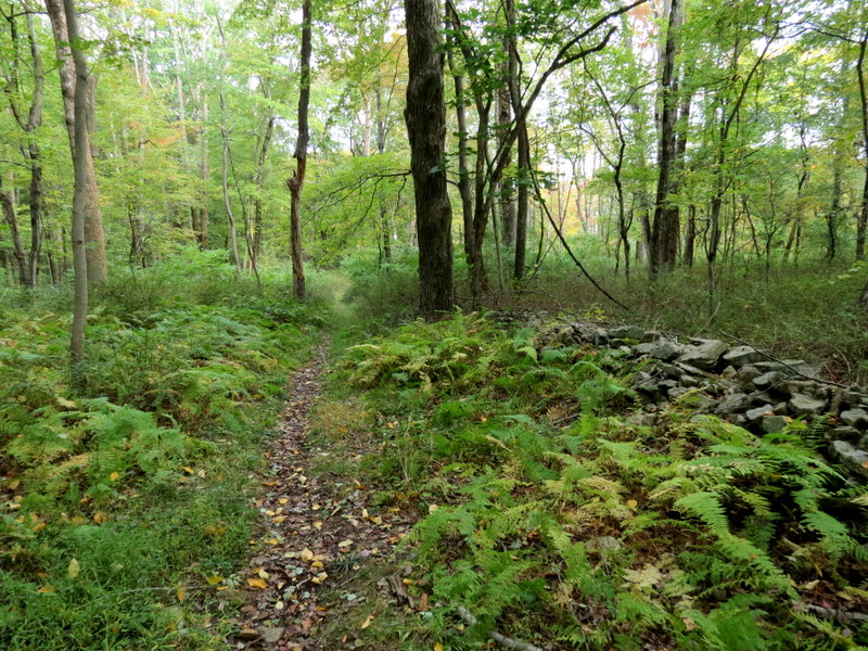
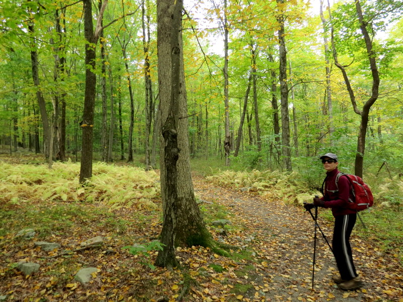
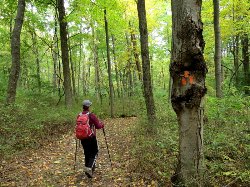
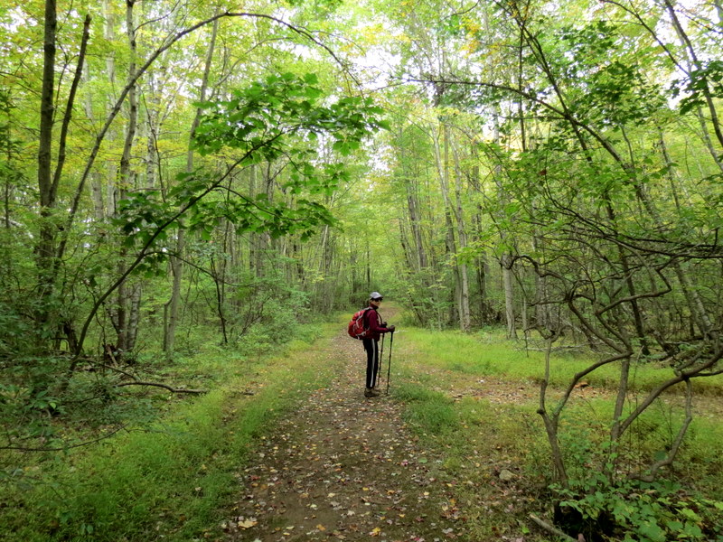
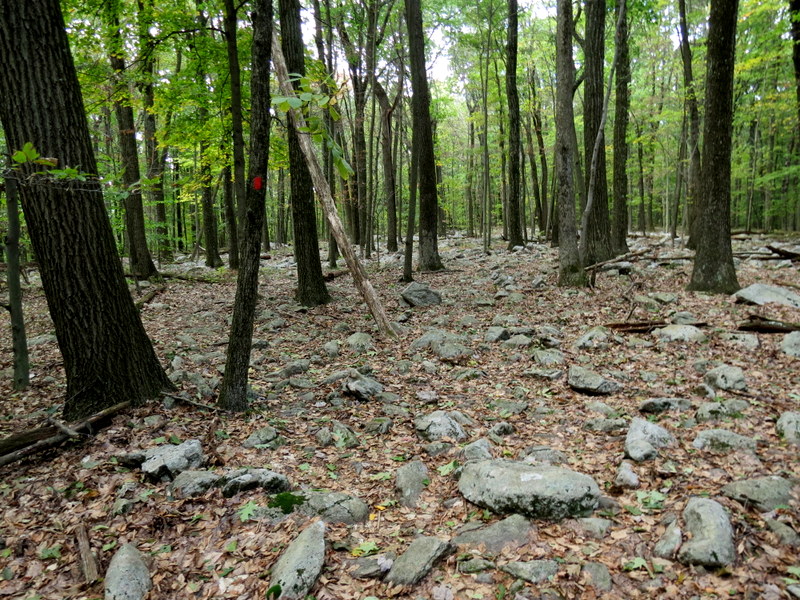
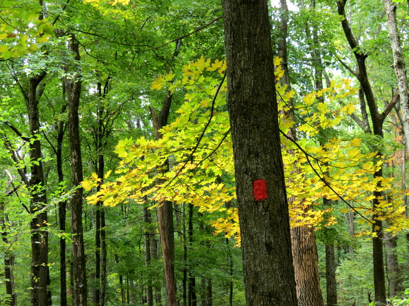
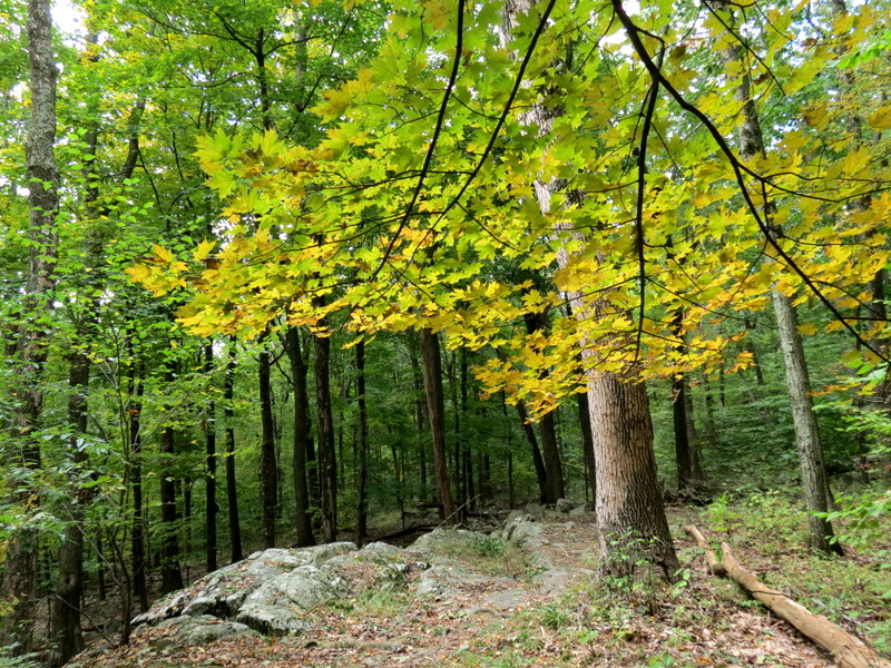
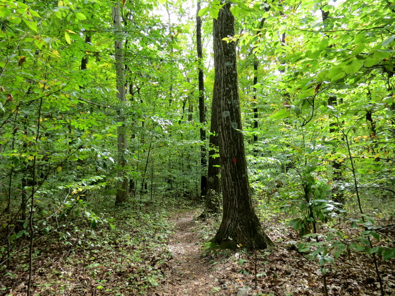
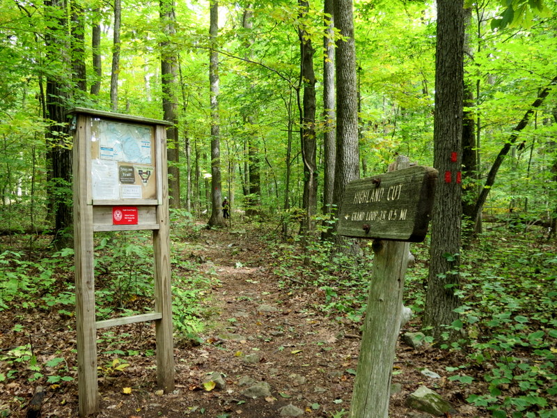
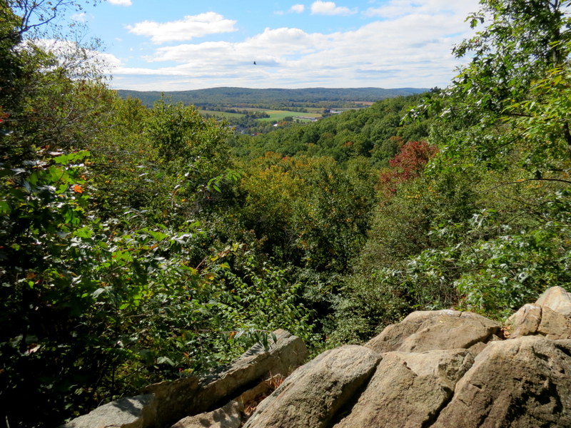
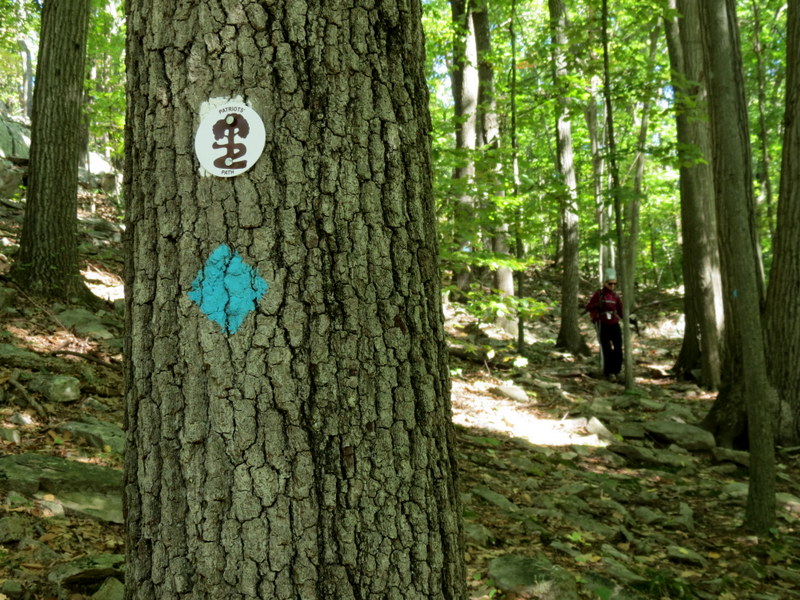
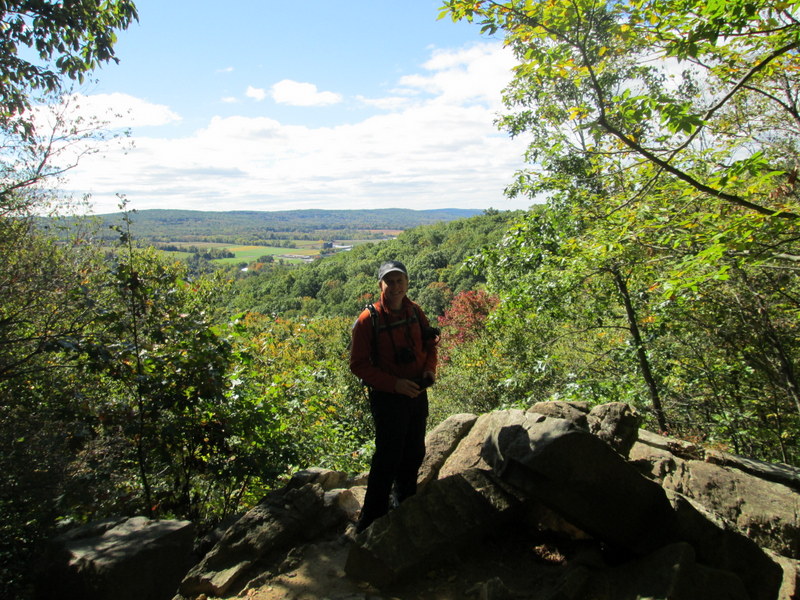
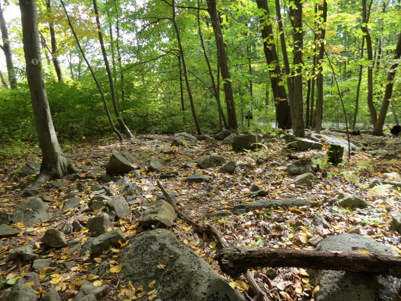
Using this map, we parked in the lot for the Colombia Trail on Fairview Avenue and crossed the street to enter the park, heading north on yellow, uphill. We continued on yellow all the way to the Upland Meadow. Hiking just about every trail in that area, several not shown on the map, we headed east on yellow and then took red west, again uphill. At the intersection with yellow, we headed east, then turned east on pink taking that to the popular viewpoint (we almost had to get in line to admire it). At the end of pink we continued south on Patriot's Path, which we took all the way back to the car. As usual, it was a very varied hike. Total distance was 4.7 miles in 3 hours.
|
 |
 |
 |
 |
 |
 |
 |
 |
 |
 |
 |
 |
 |
 |
 |
 |
 |
 |
 |
 |
 |
 |
 |
 |
 |
 |
 |
 |
 |
 |
 |
 |
 |
 |
 |
 |
 |
 |
 |
 |
 |
 |
 |
 |
 |
 |
 |
 |
 |
 |
 |
 |
 |
 |
 |
 |

|
|
Photographs and content copyright © Dan Balogh Web design by Dan Balogh |