 |
|
Nearly four years ago we hiked here in the beautiful rugged Tory tract, a parcel of land owned by
the Passaic River Coaltion. At that point we parked south of the tract, hiked the Stonetown Circular trail north over the hills all the way to Tory Rocks and a bit further
before turning back for an out-and-back. Today, armed with an updated NYNJTC map and a terrific GPS app on my iPhone, we decided to head back and visit Signal Rock,
a vista indicated on the map at the end of an ascending unblazed woods road, and something we didn't visit last time.
We did a Figure-8, parking on Burnt Meadow Road, where the Stonetown Circular skirts the road, about as far south as you can get from Route 511 before the road becomes impassable (about 2.7 miles in). We took the SC trail east into the tract, visiting Tory Rocks once again, but then taking the unblazed woods road to Signal Rock, with one of the most spectacular views in this entire area. You'll have to walk past lots of trash left out near the path by residents of Burnt Meadow Road, but the view makes it worthwhile. After Signal Rocks we backtracked to the SC and continued in the SE direction reaching another spectacular vista. After a bit of descending we made a left on a woods road and took woods roads all the way back NW. Without a GPS app this part would have been very tricky because there are many more criss-crossing woods road here than appear on the map. Eventually we crossed the SC trail and continued (on woods roads) to the impassable part of Burnt Meadow Road, which we then took west to the car. Total distance hiked today was 4.6 miles, with lots of ups and downs, in 3.5 hours.
(Click on the thumbnail to bring up a bigger image in a pop-up window)
|
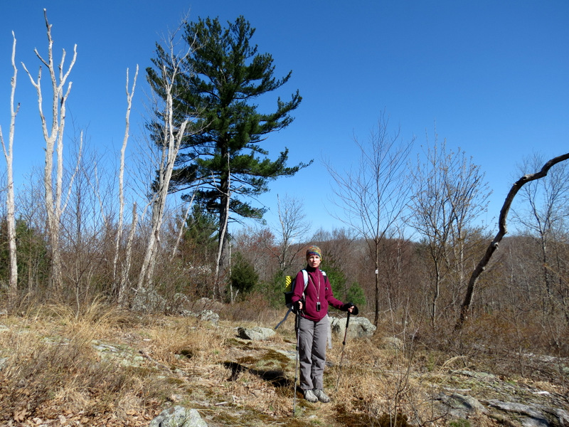
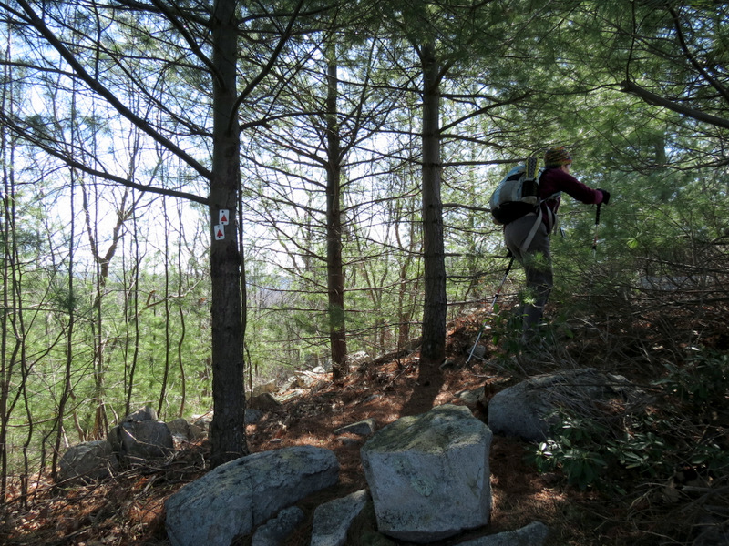
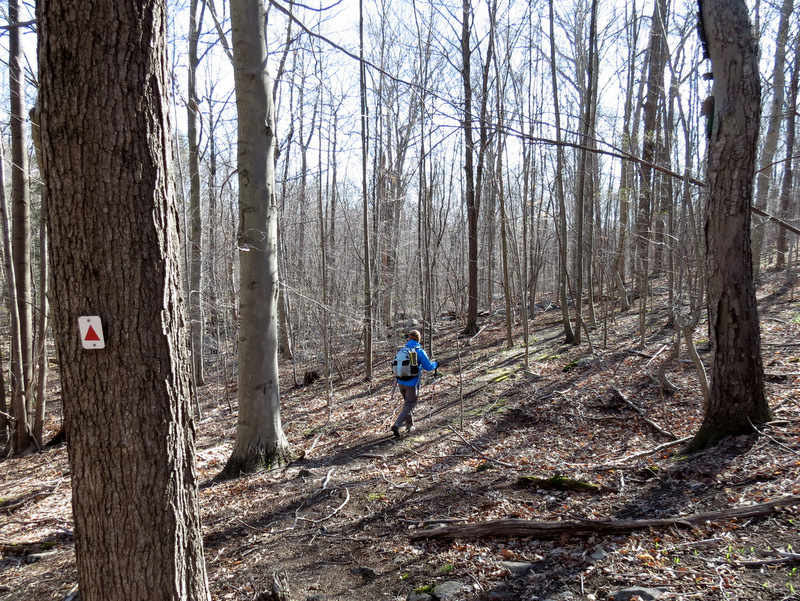 Stonetown Circular |
 Distinctive blaze |
 |
 |
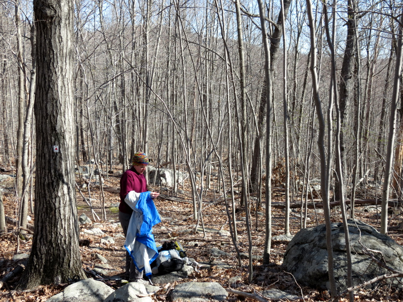 Time to de-layer |
 Spring is here! |
 [Photo by Laura] |
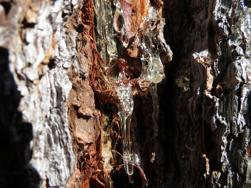 Sap! |
 |
 [Photo by Laura] |
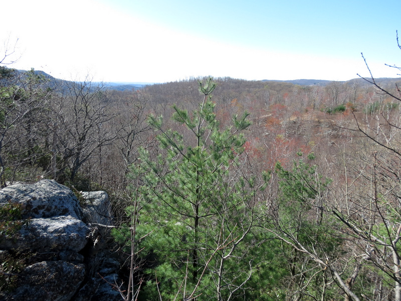
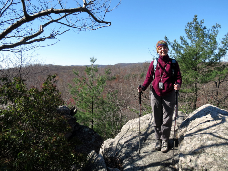
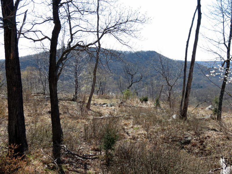
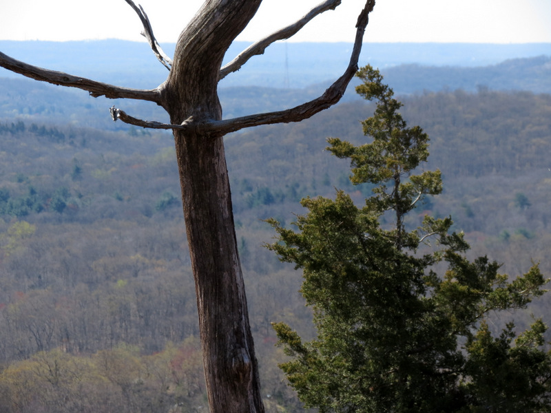
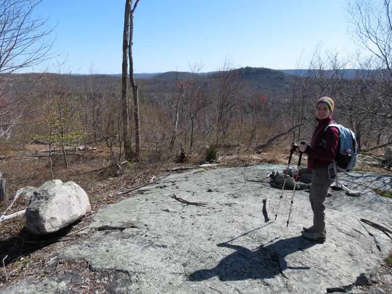
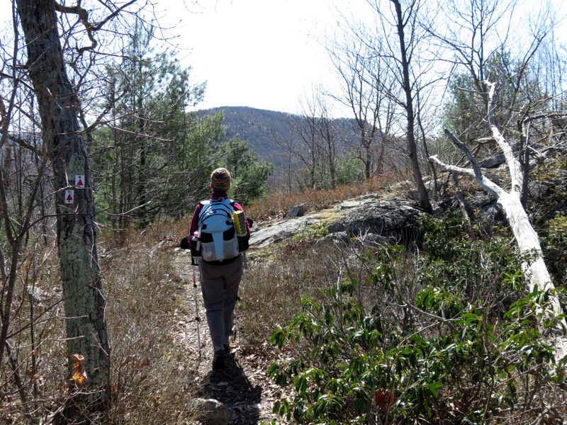
 View from ... |
 ... Tory Rocks |
 |
 |
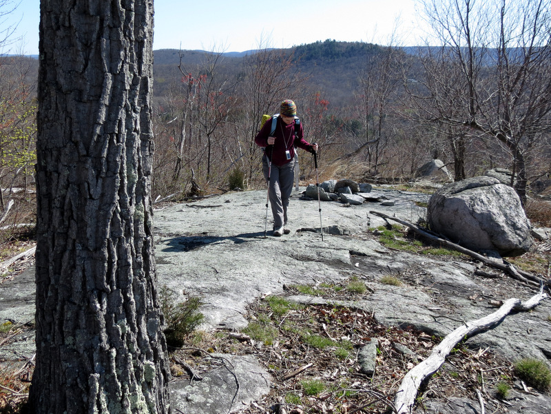
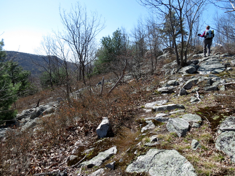
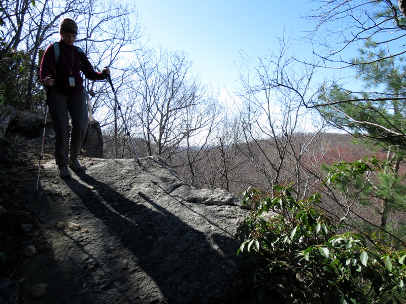 Descending |
 And descending |
 [Photo by Laura] |
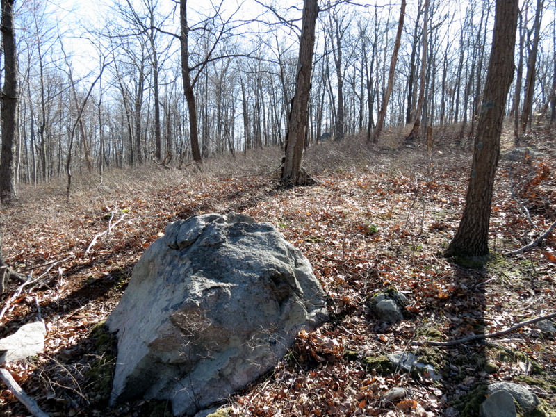
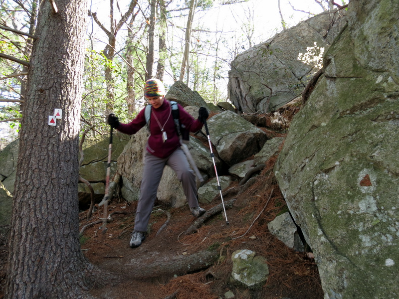
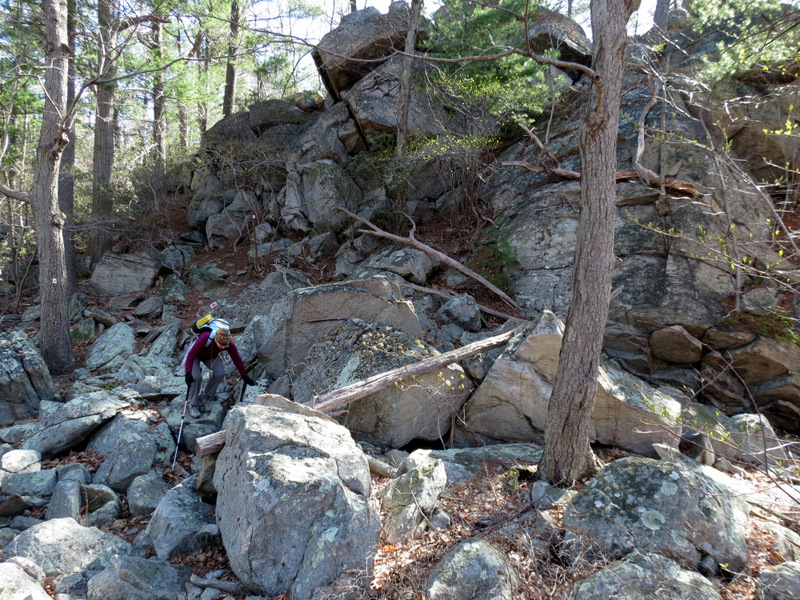 Very rocky |
 |
 Saplings |
 |
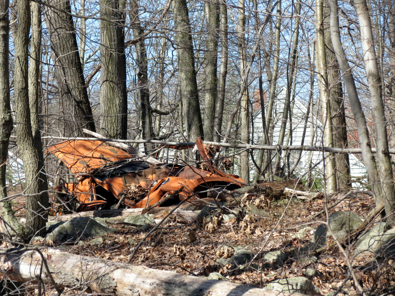 Demolished car |
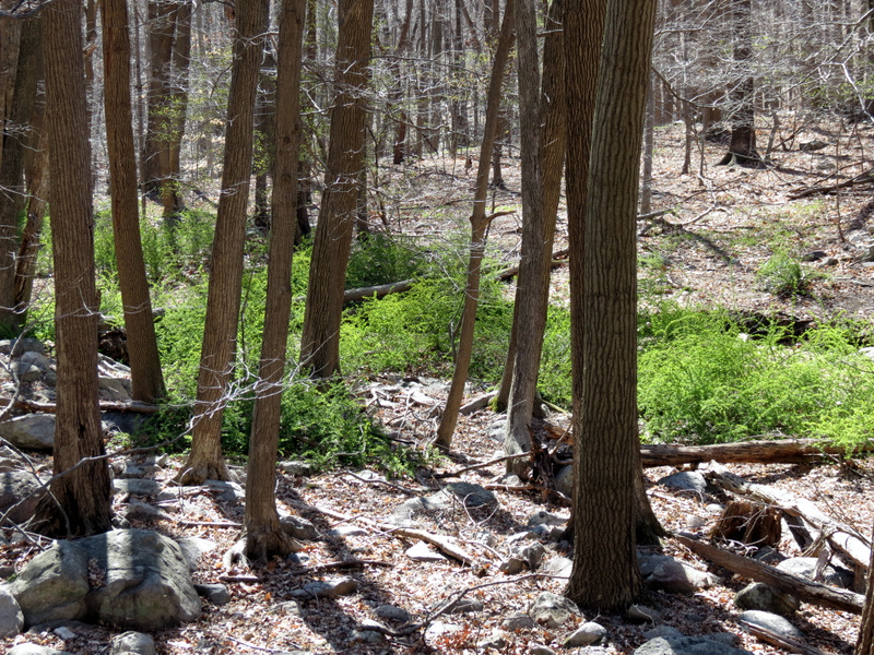 Green! |
 Monster tire graveyard |
 What is it? |
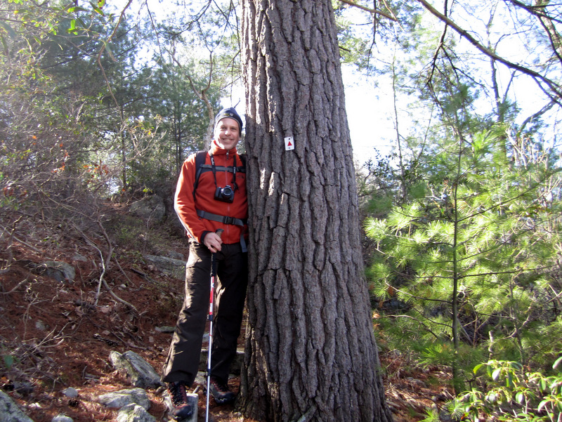
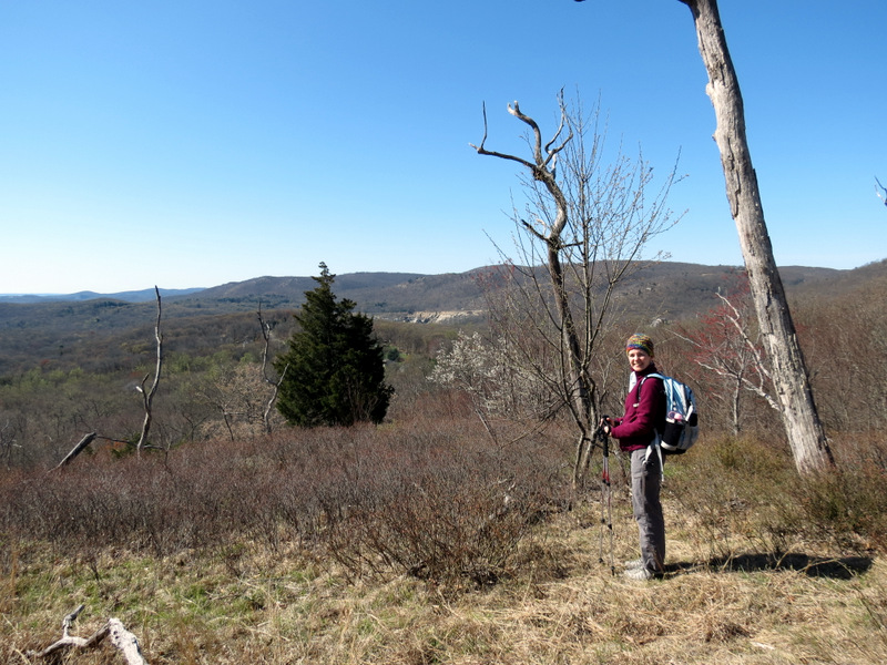
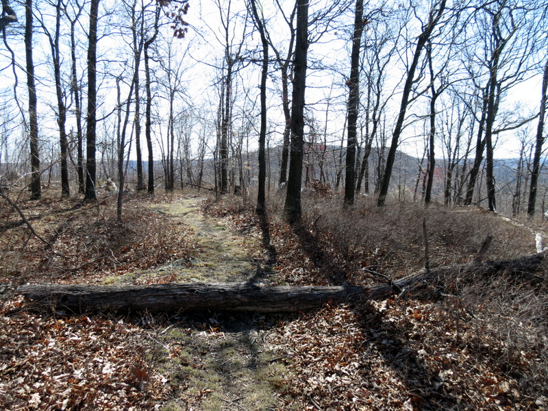 Path to Signal Rock |
 |
 |
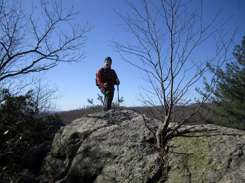
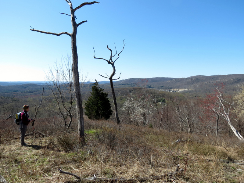
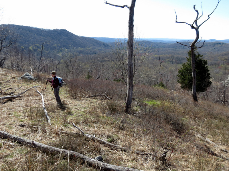
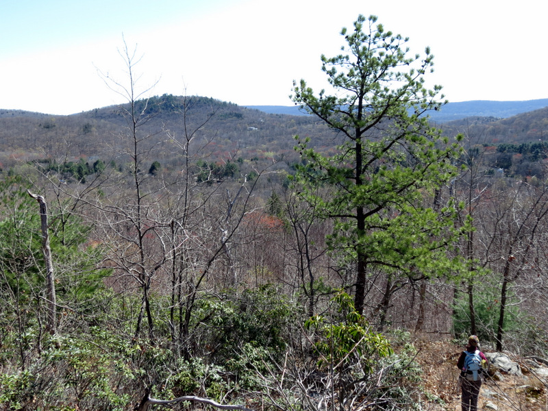
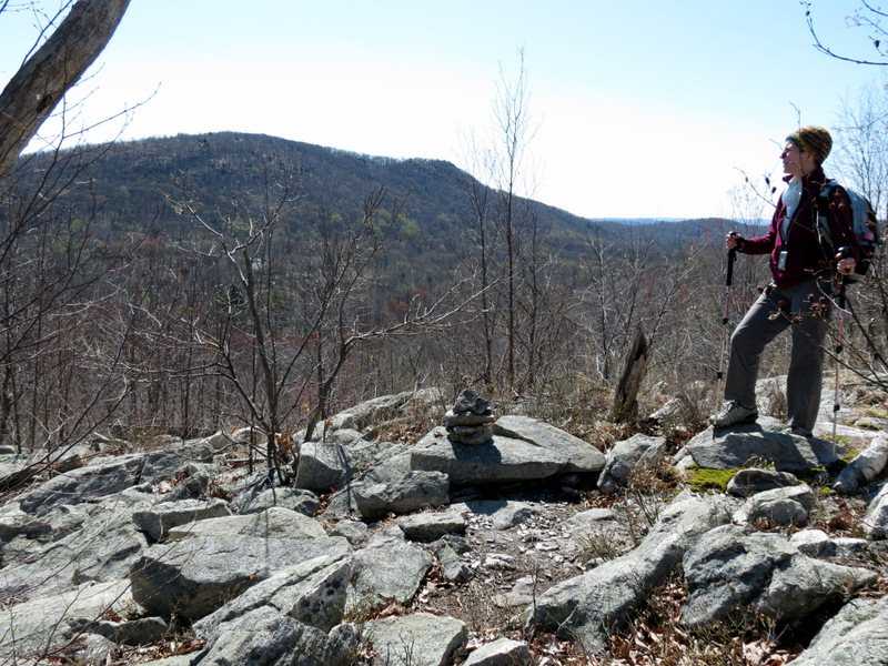
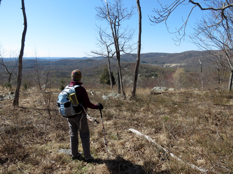 At Signal Rock |
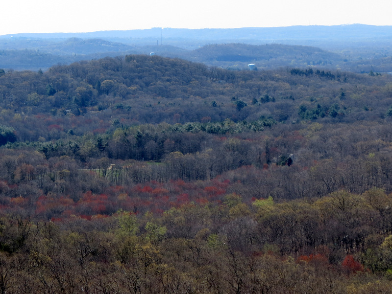
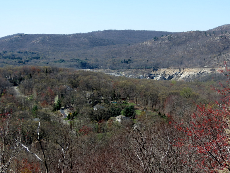
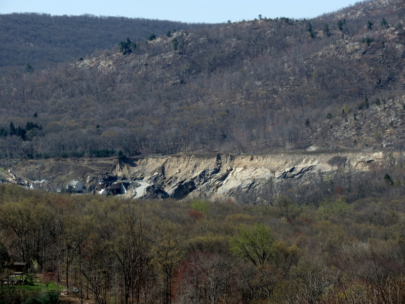 Quarry east |
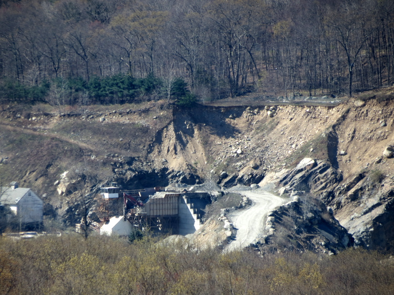 Zoom to quarry |
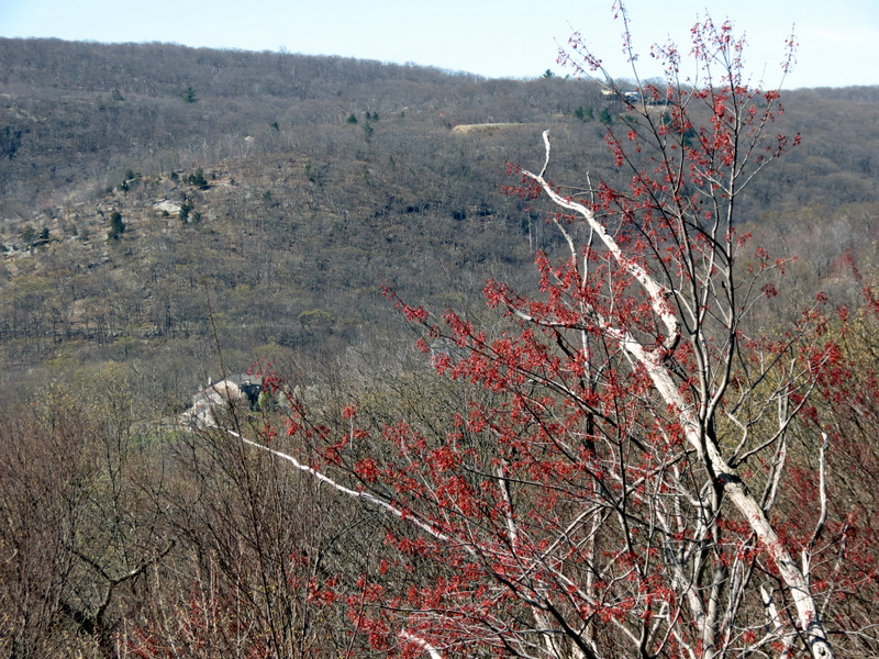
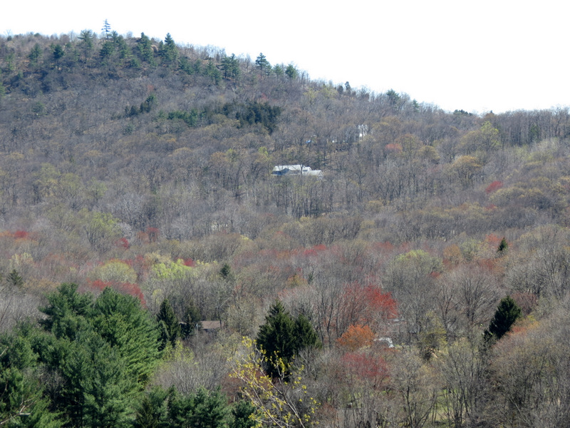
 House on mountain |
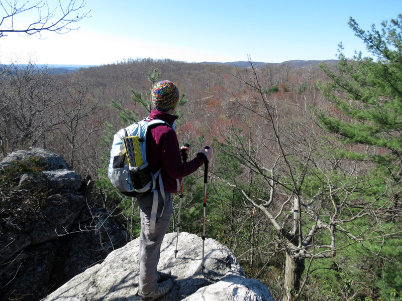
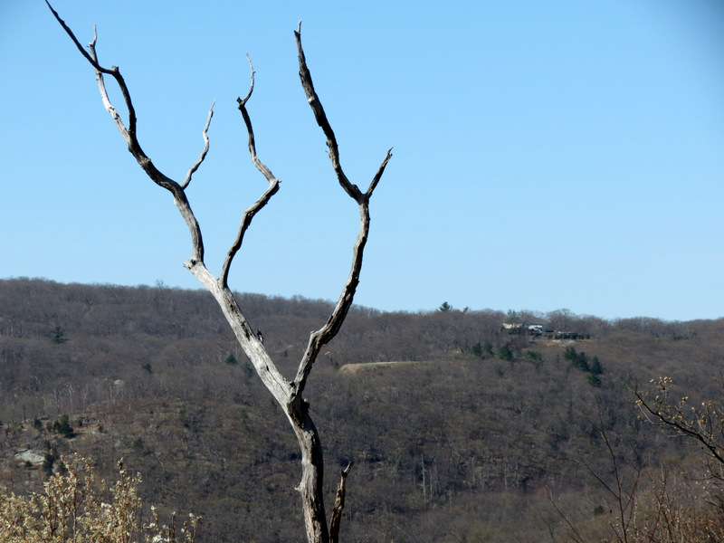
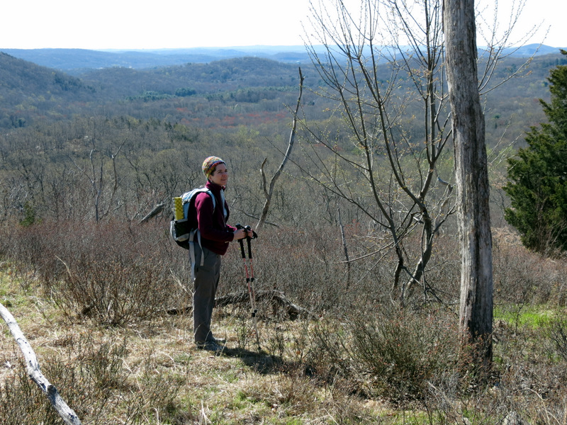
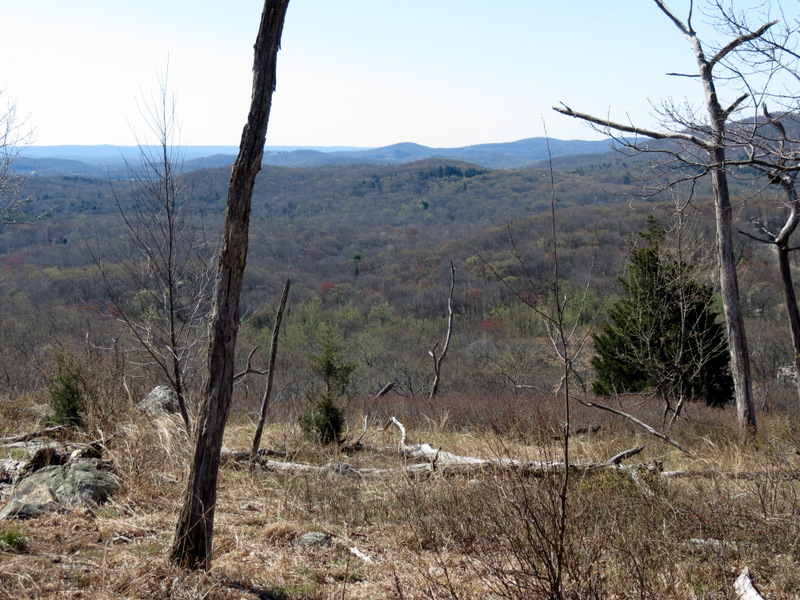
 Views ... |
 ... east ... |
 ... from ... |
 ... Signal Rock |
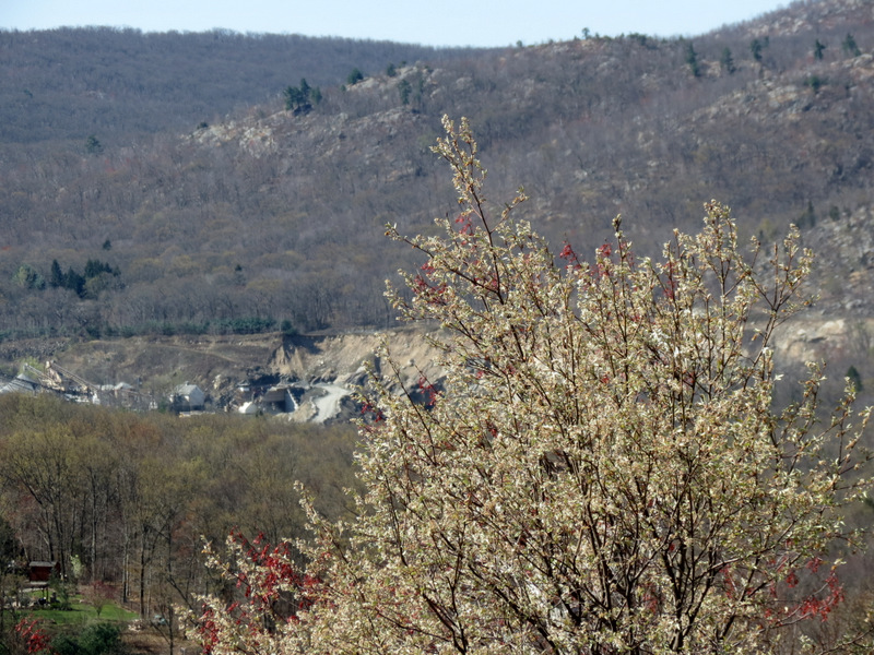
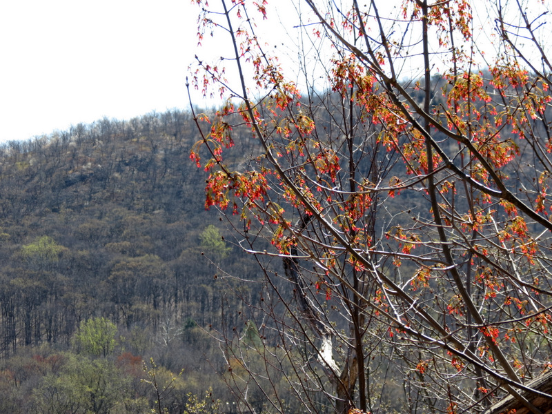
 Beautiful colors |
 |
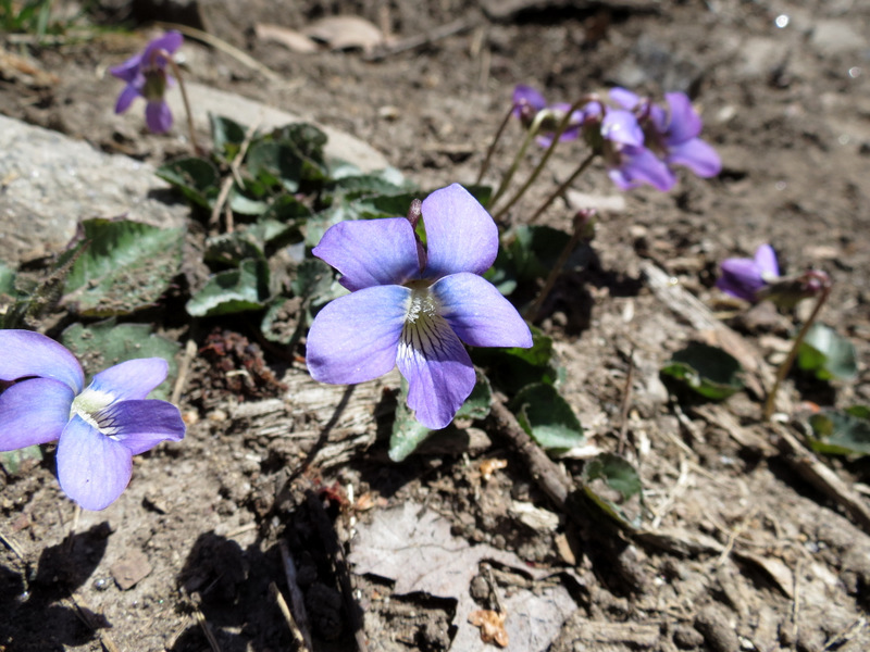
 Spring blooms |
 |
 |
 |
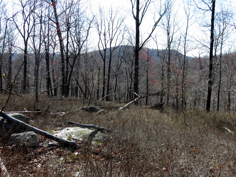
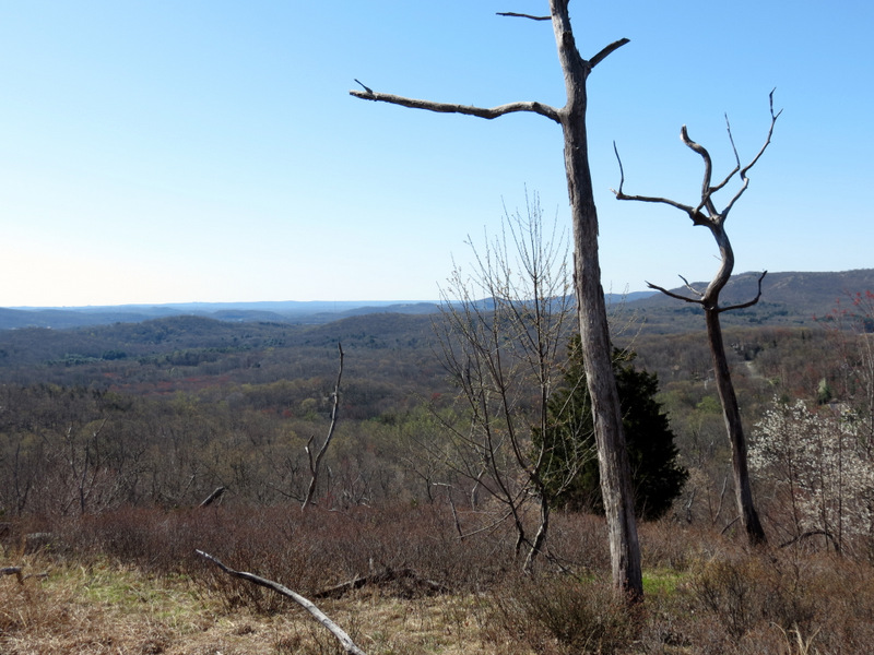
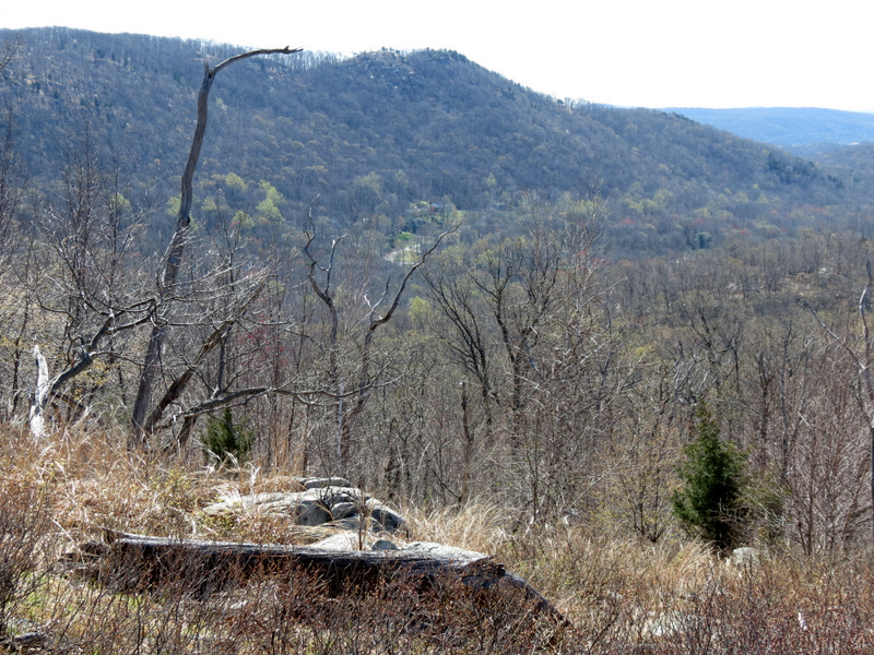
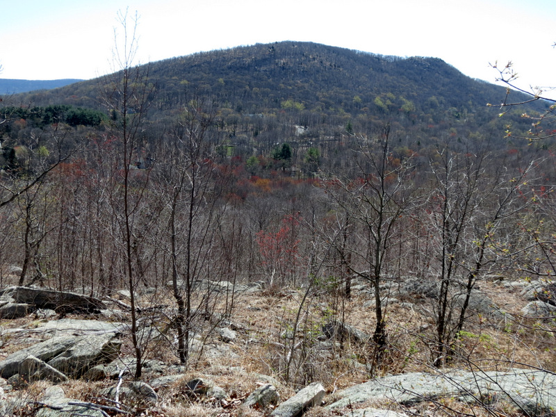
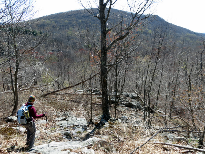
 Windbeam Mountain |
 |
 |
 |
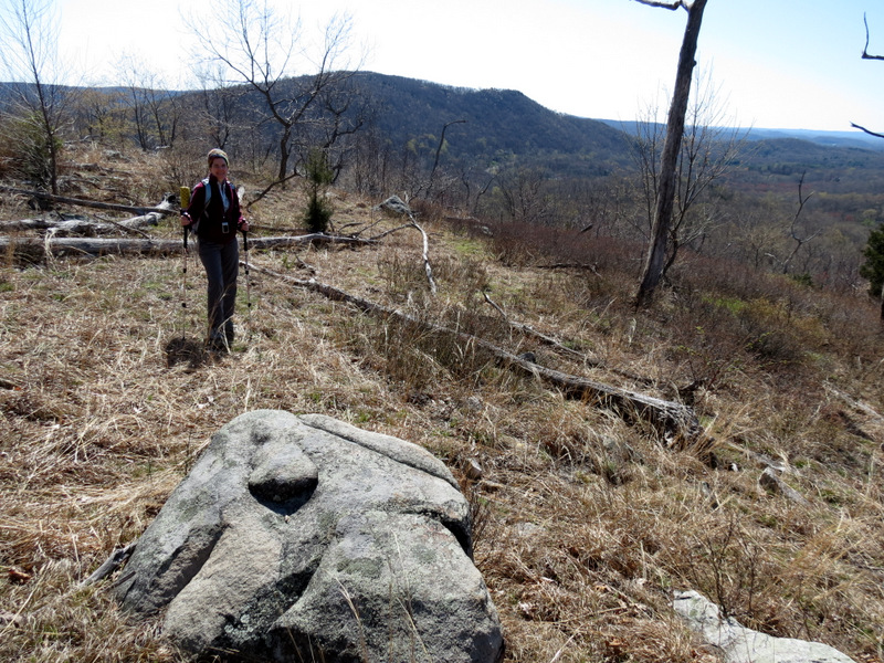 Windbeam Mountain |
 View NE |
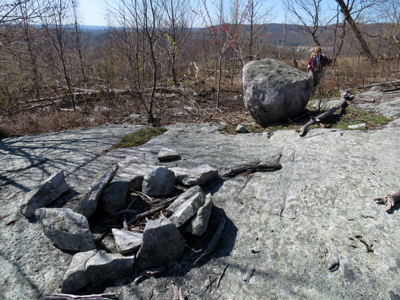 Fire ring |
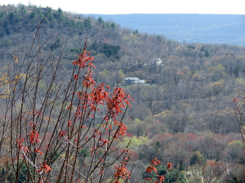 Beautiful red! |
 View NE |
 |
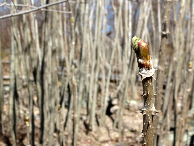 Bud |
 |
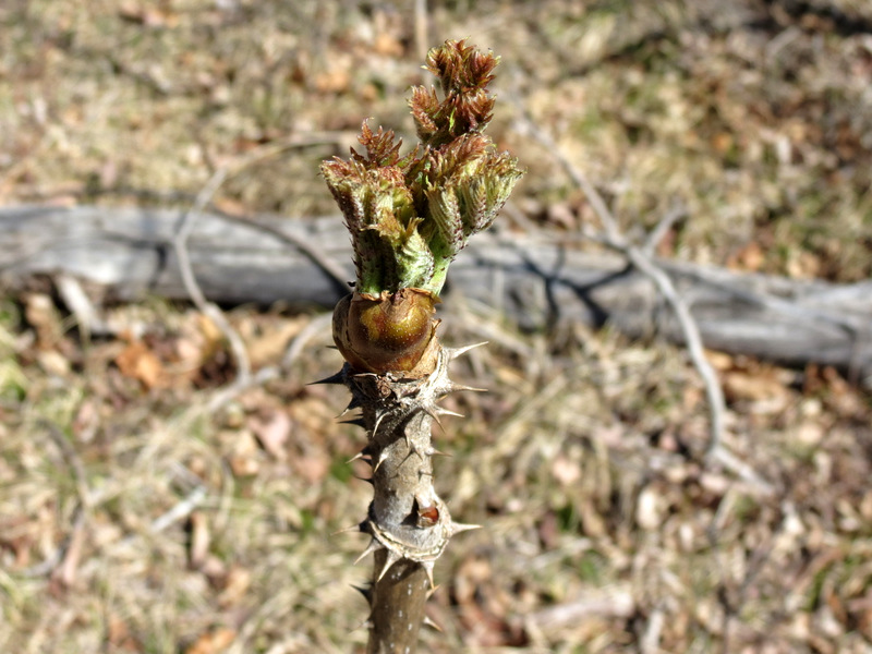 Bud |
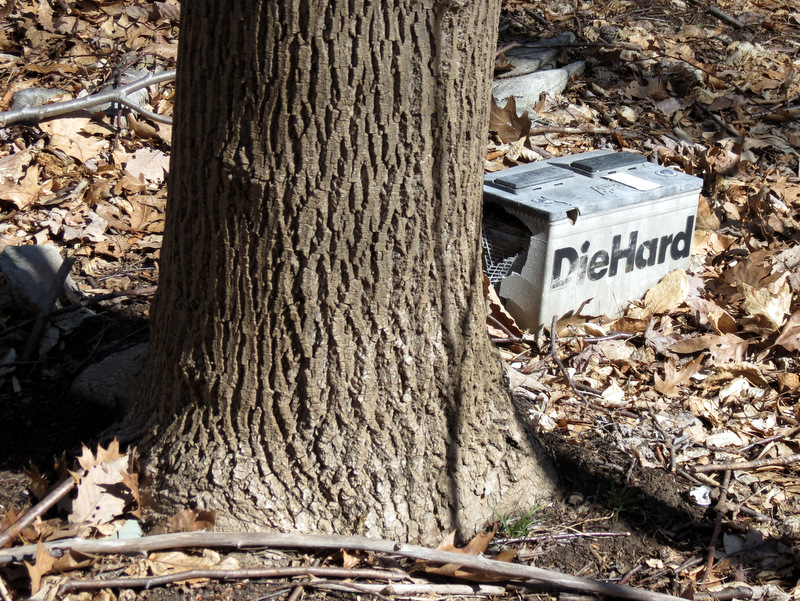 A dead Die Hard |
 [Photo by Laura] |
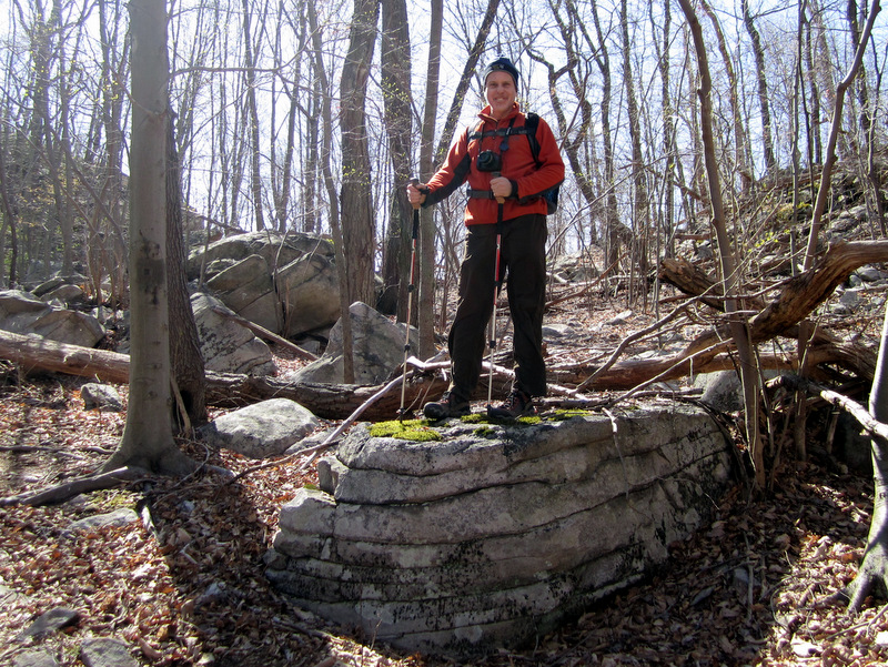
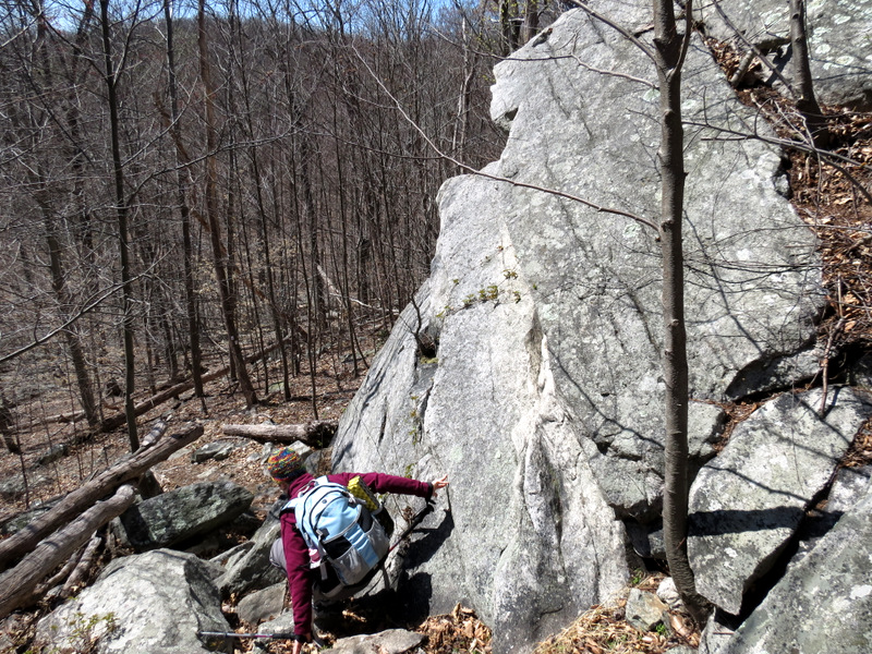
 Huge boulder jumble |
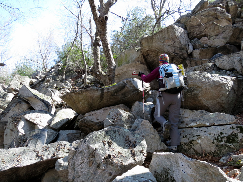 Climbing it |
 |
 Continuing on ... |
 ... Stonetown Circular |
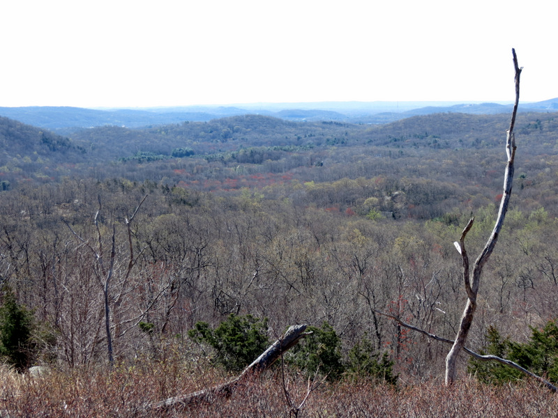
 View east |
 |
 Windbeam Mountain |
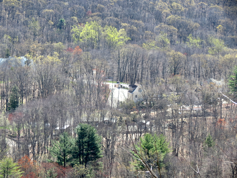 Zoom to houses |
 |
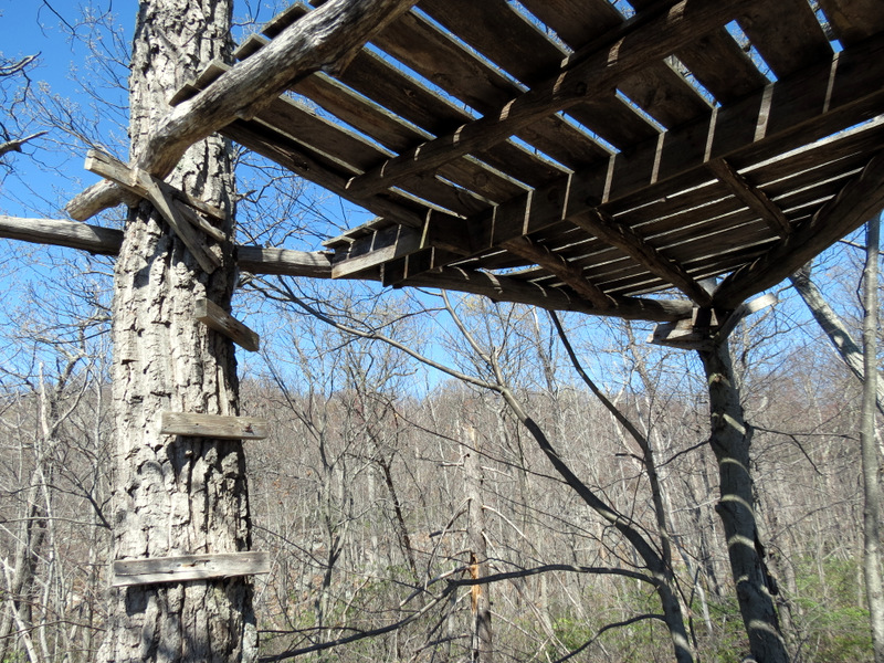 Tree house |
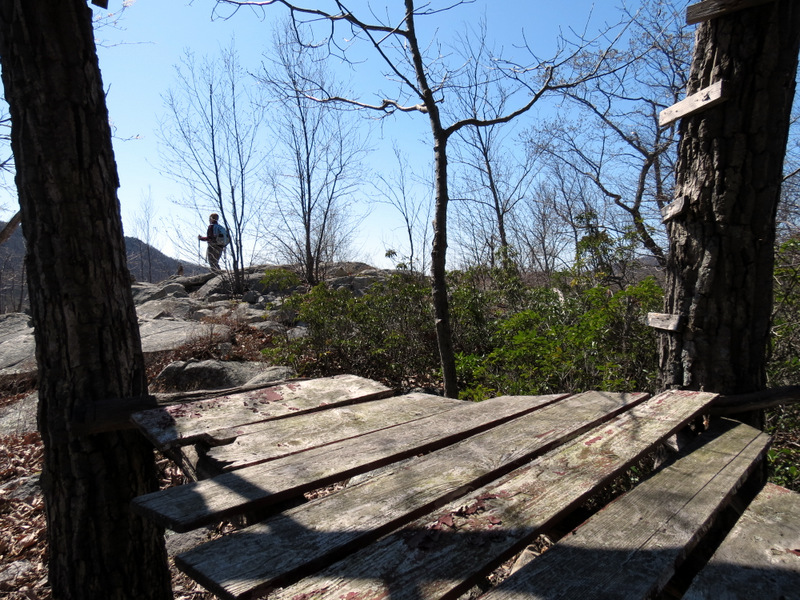 View through tree house |
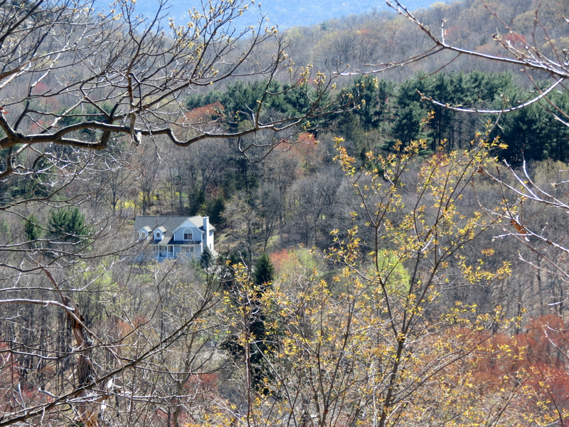 House among blooms |
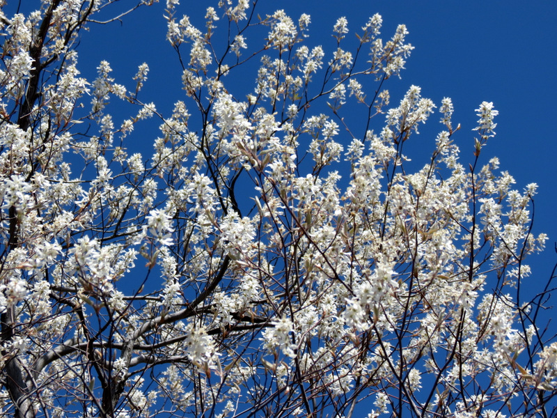 Spring is here! |
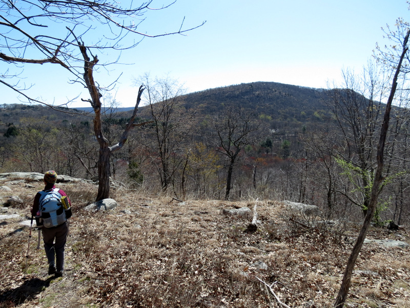 Windbeam Mountain |
 House on the hill |
 |
 |
 Steep descent |
 [Photo by Laura] |
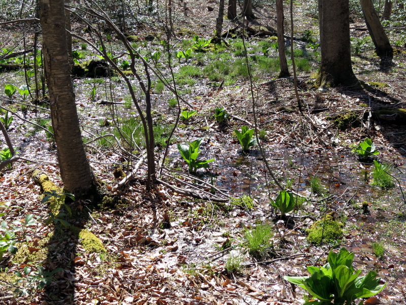 Skunk cabbage |
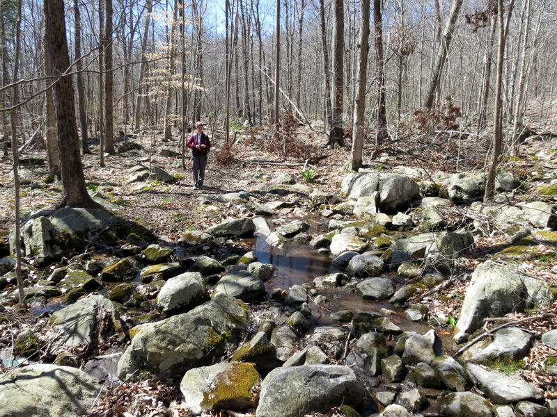 Rocky woods road |
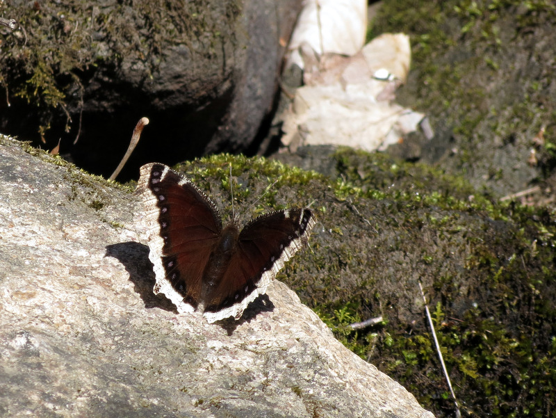 Butterfly |
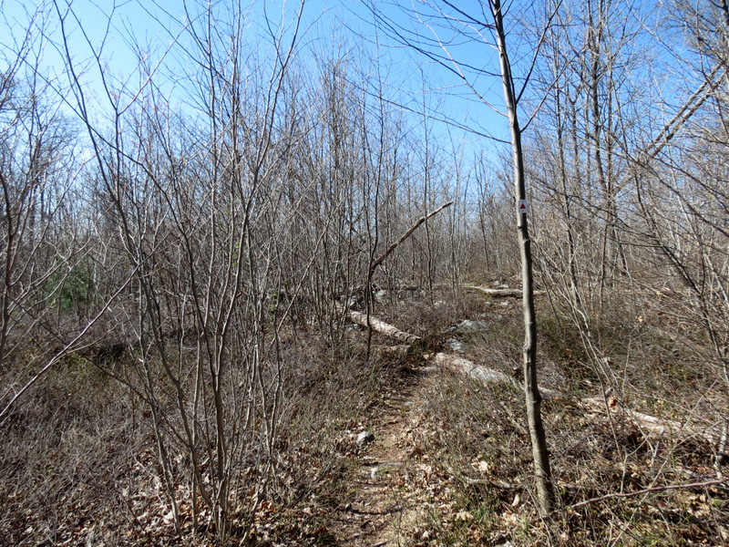
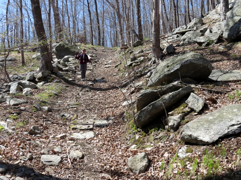 Woods road |
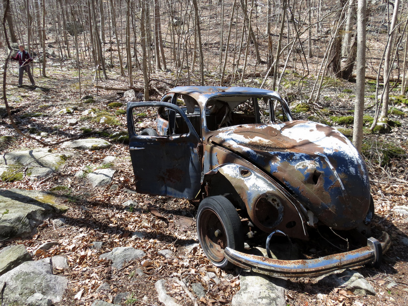 Abandoned VW Bug |
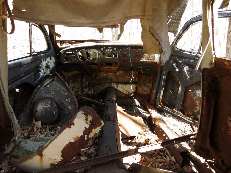 View inside |
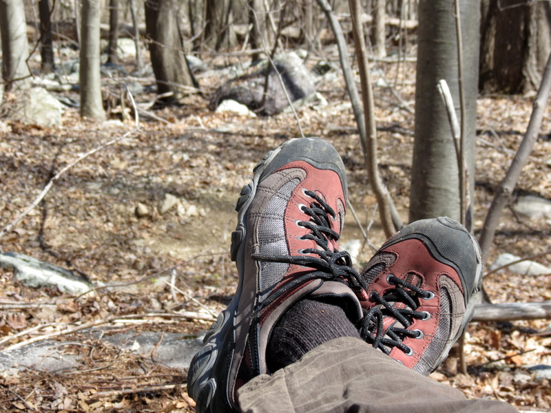 My new Oboz Firebrand II's |
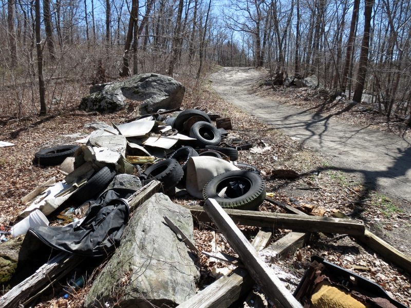 Trash on Burnt Meadow Road |
 Beauty yards away |
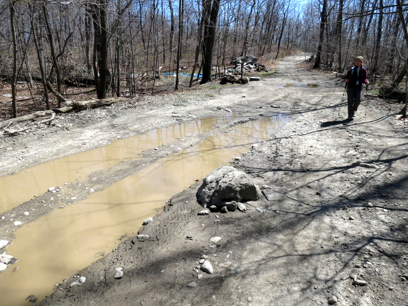 Impassable part of ... |
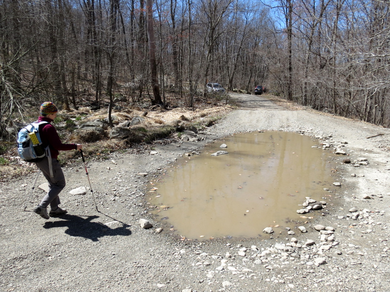 ... Burnt Meadow Road |

|
|
Photographs and content copyright © Dan Balogh Web design by Dan Balogh |