 |
|
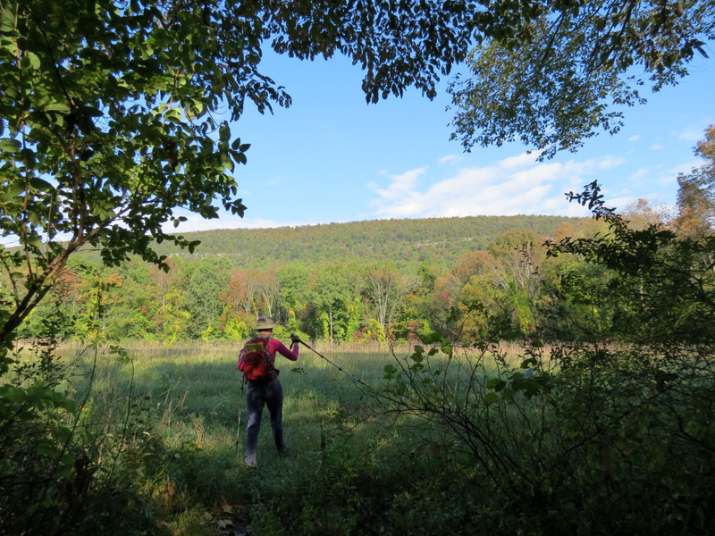
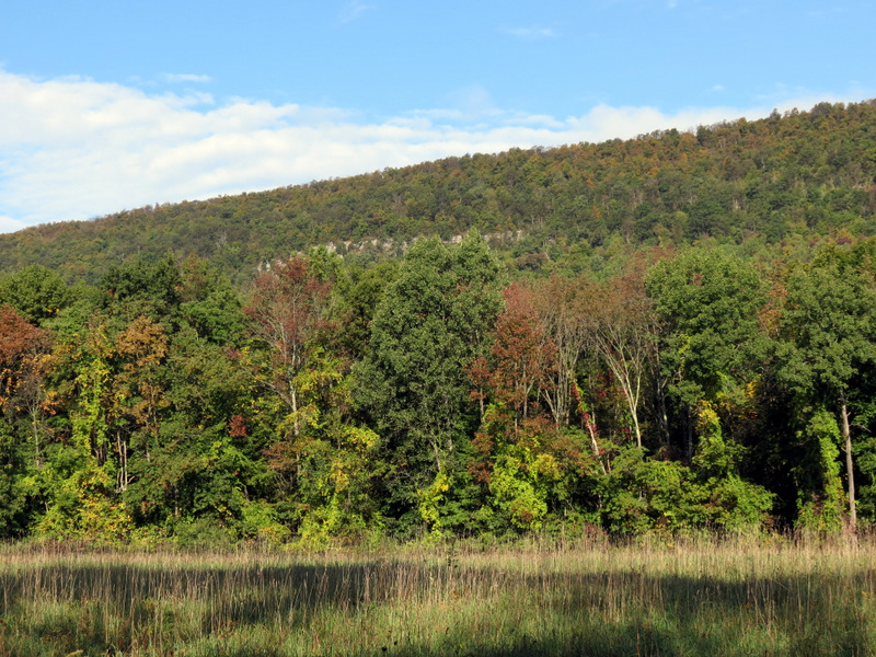
Last week we hiked a stretch of the AT on Mount Minsi at and west of Tott's Gap. Today we headed to the fields below the ridge, between the mountain and the Delaware
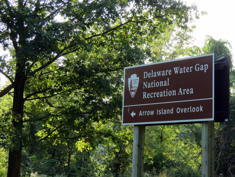
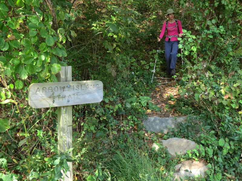
River, in an area which was formerly the Slateford Farm. We planned to do the figure-8 lollipop on the NYNJTC Kittatinny Trails Map 120 starting at the Arrow
Island pull-off on Route 611. The Arrow Island trail (no more than 1 mile in length) would be the lollipop stick and the two loops, used for cross-country skiing and
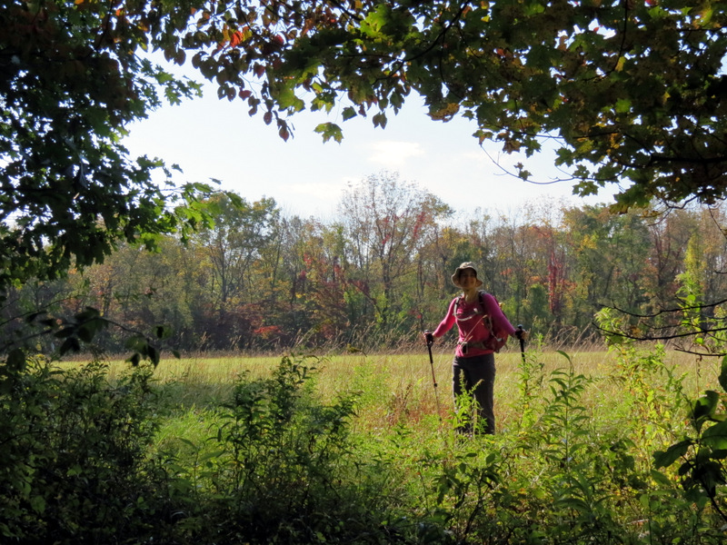
hiking above the river, would be the figure-8. But the western loop (labeled as "Slateford Loop" on the NYNJTC map) appeared as if it hadn't been used for much of anything
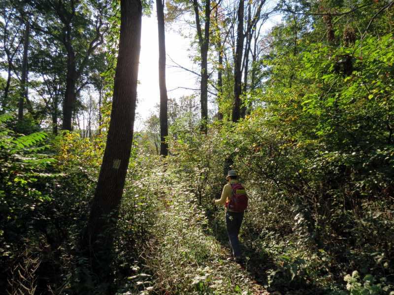
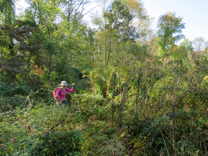
since Eisenhower was President and the vegetation became so thorny and overgrown just west of Slateford Farm that we simply had to turn back.
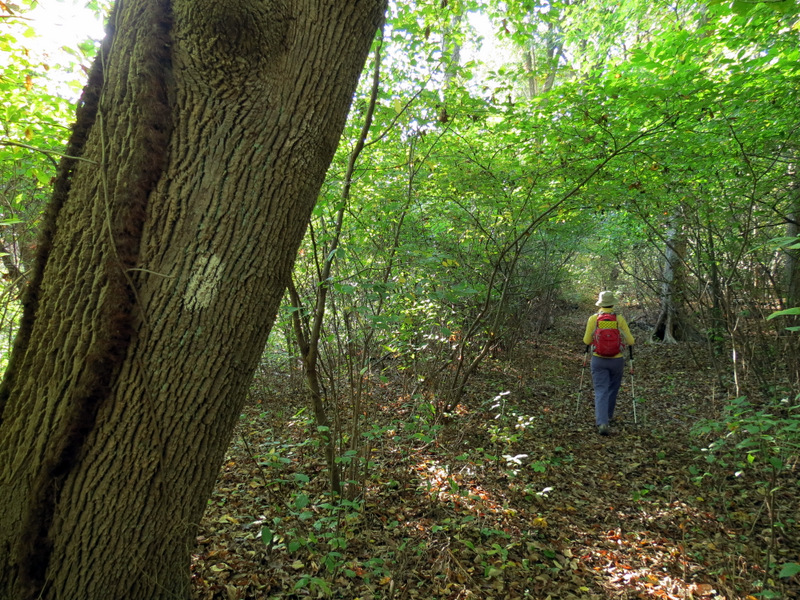
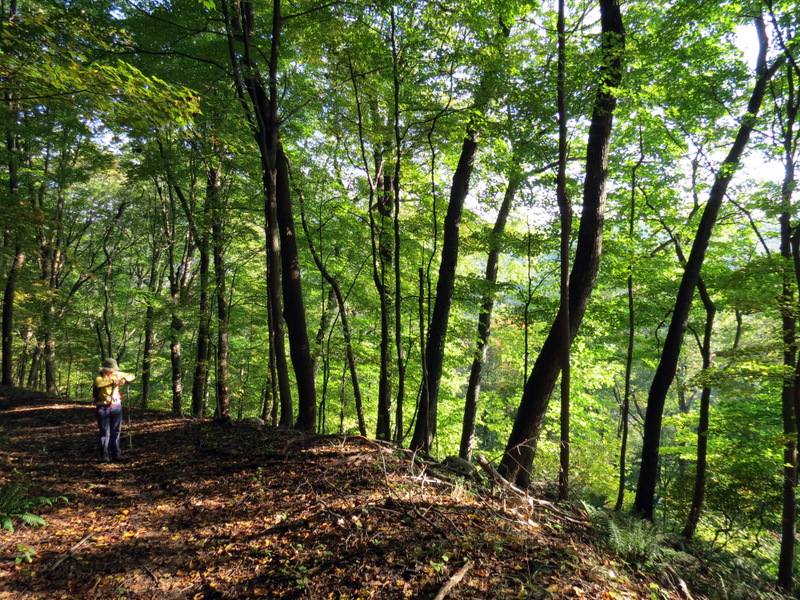
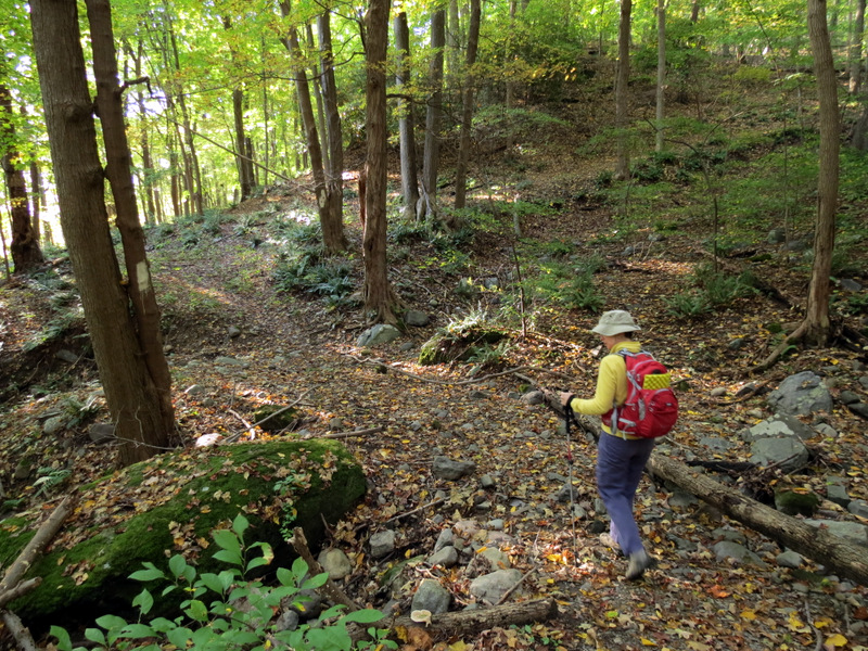
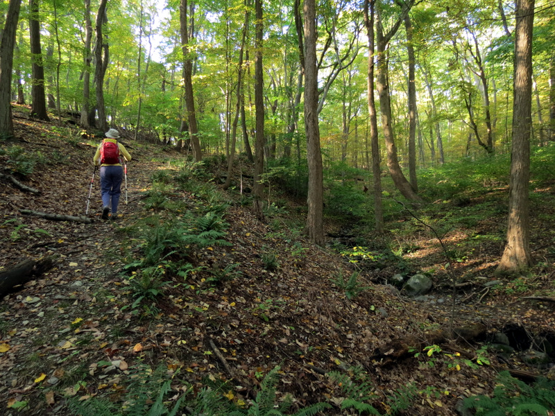
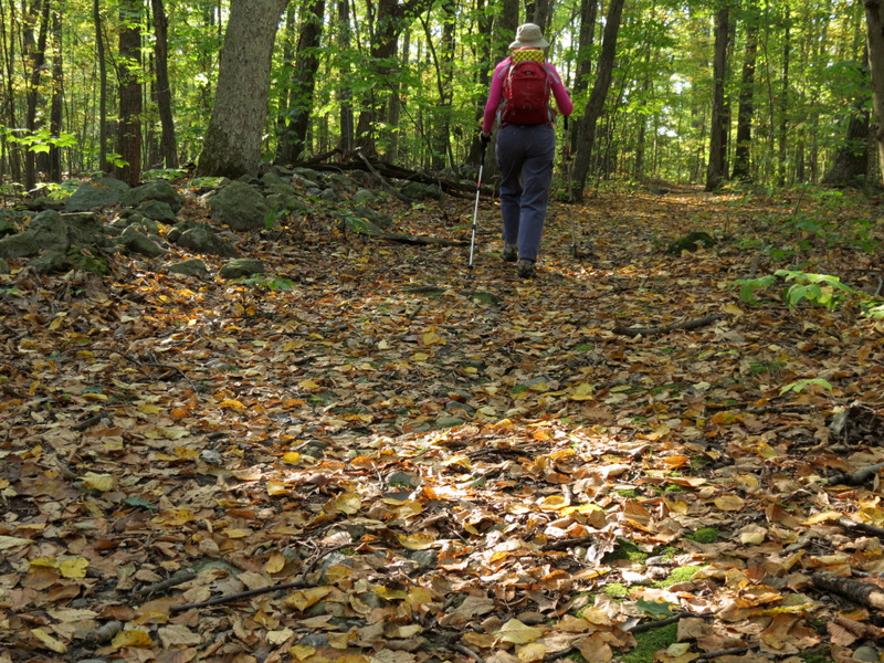
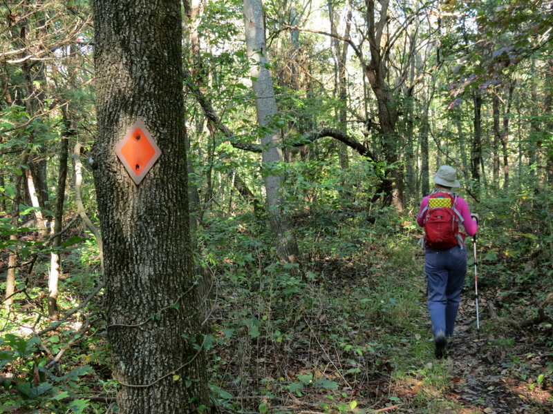
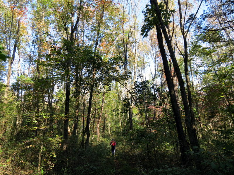
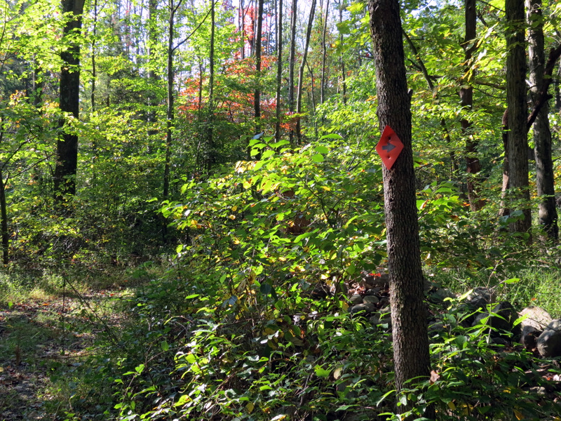
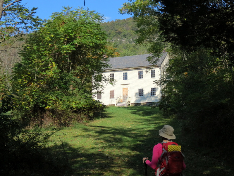
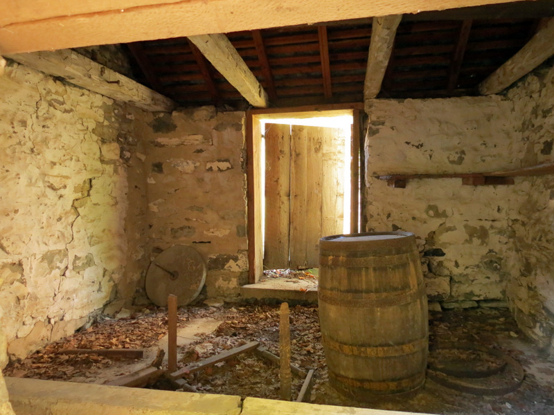
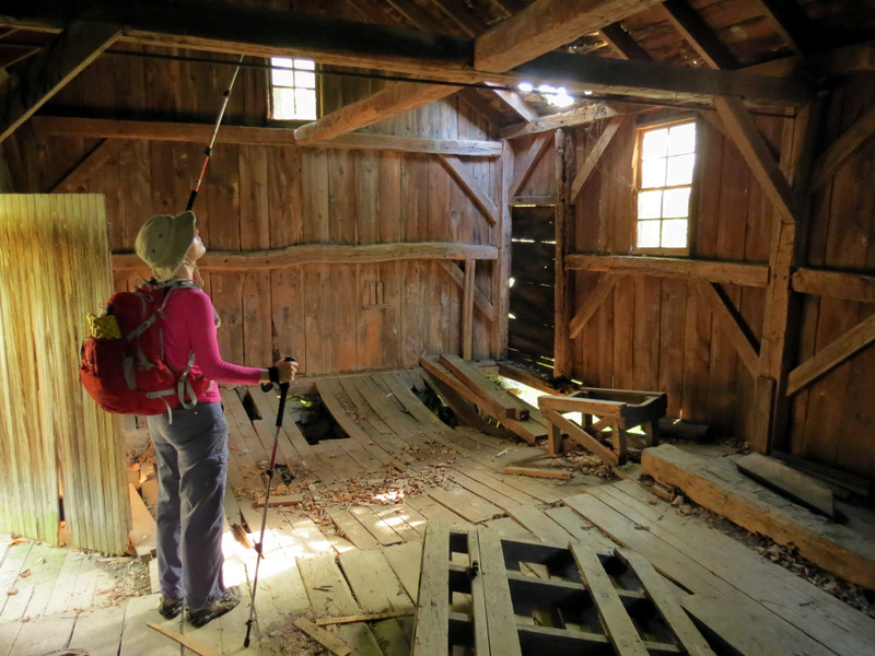
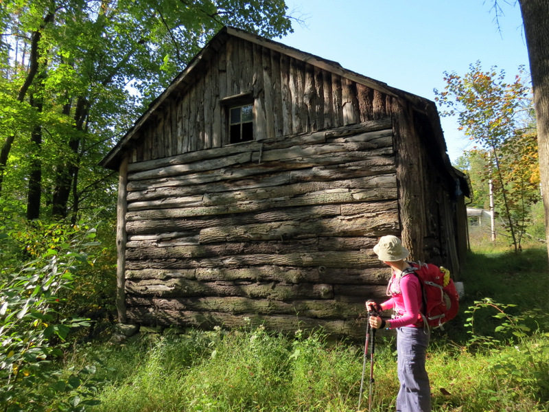
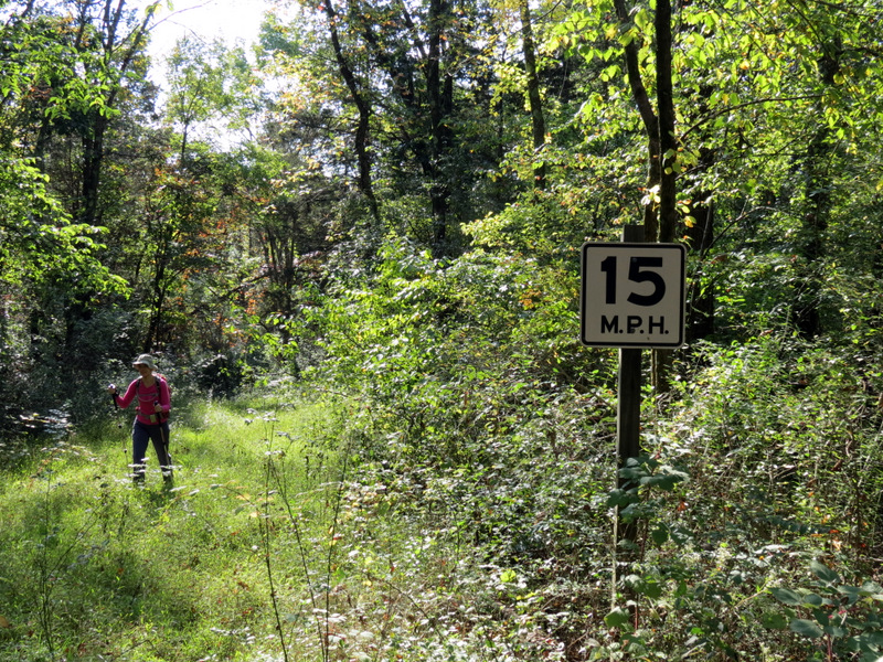
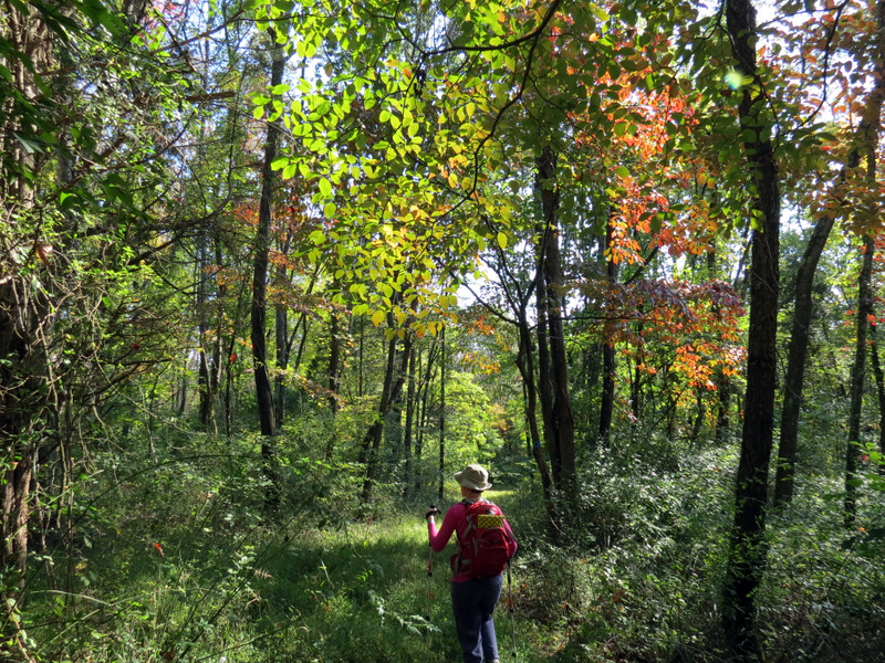
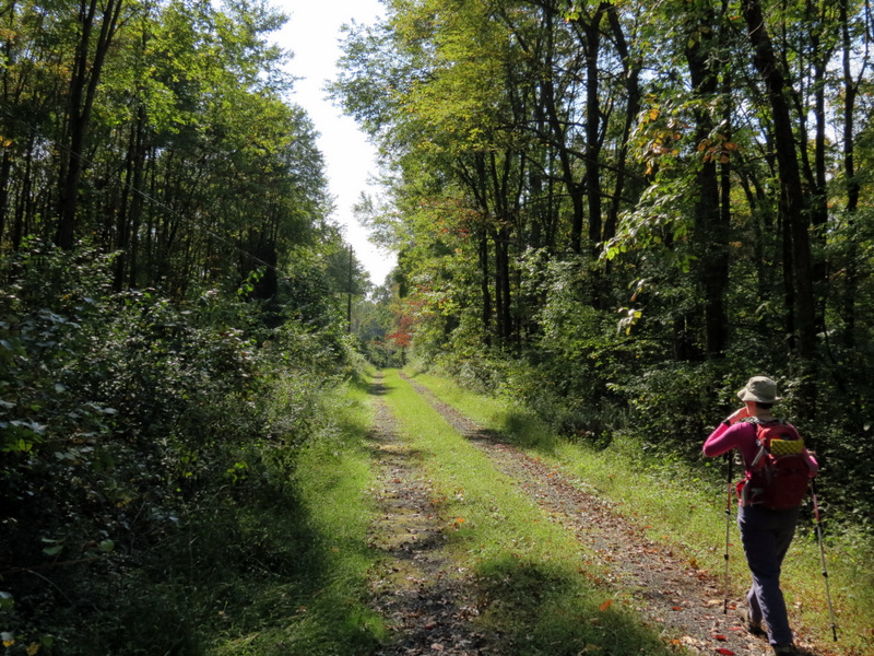
Another map can be found here, which includes more trails and woods roads than the NYNJTC map. The path we took today is too complicated to describe here (especially with all the backtracking). Suffice it to say, if you want to hike these trails keep in mind that they are quite overgrown in places and the spot where we had to turn back is at the point on this map marked "Old Field". Hiking along the trail that passes along the southern edge of that field in a counter-clockwise direction, we simply couldn't proceed much further than the eastern end of that field without machetes! It could be that the trail beyond that point is navigable but we didn't have time to head over there from the other direction to see. We did, however, manage to find the abandoned buildings of the Slateford Farm, something we wouldn't have seen had we merely followed the NYNJTC map. It appears that there used to be a thriving historical farm which may have been abandonded some time ago. Some of the buildings have been lovingly restored and there are empty information signs in several places. Total distance hiked was 4.7 miles of hiking, getting flummoxed, backtracking, getting more flummoxed, and exploring some spurs (including a yellow trail not on any map) in exactly 3 hours.
|
 |
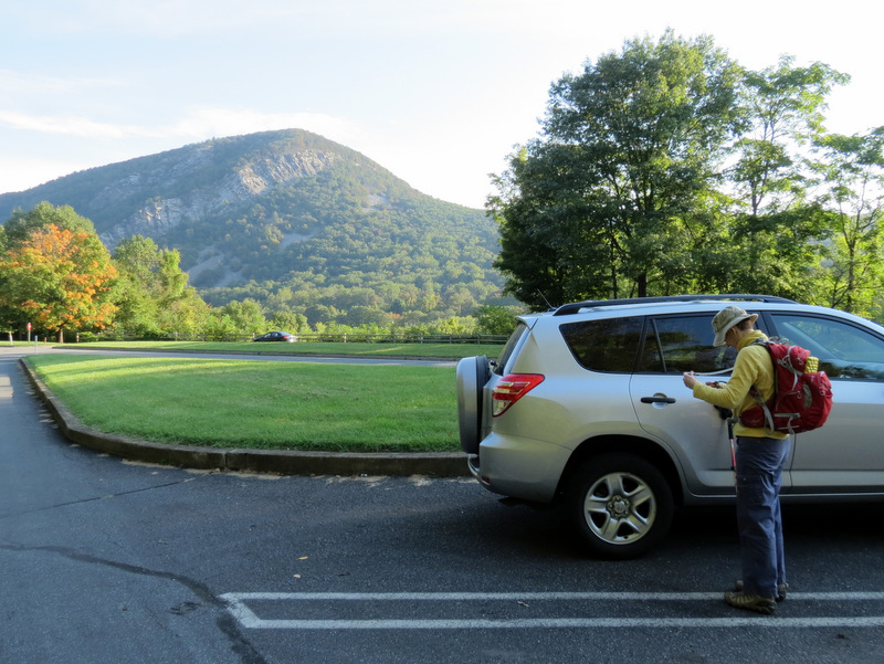 Mt. Tammany across the Delaware |
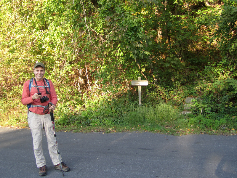 Trailhead right behind our car [photo by Laura] |
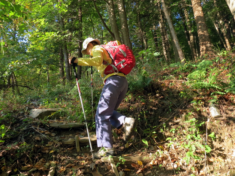 Steep climbing at the start |
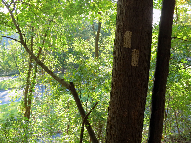 White-blazed Arrow Island trail |
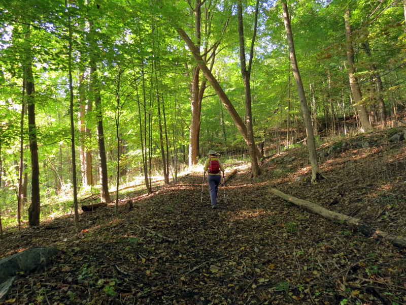 Levels off heading west |
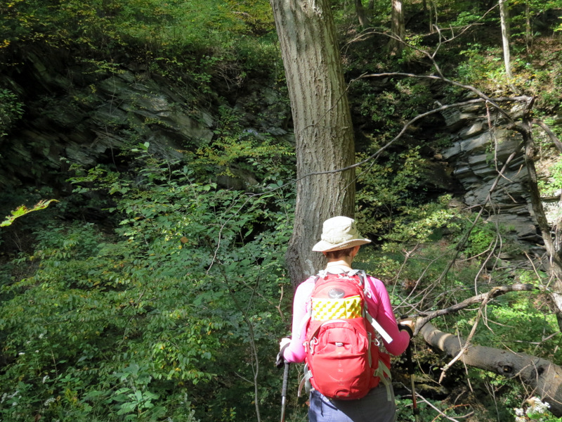
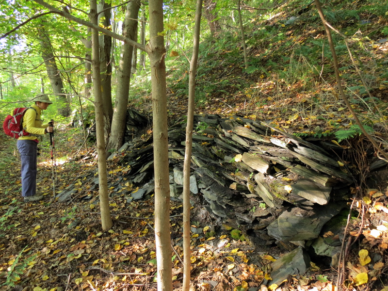 Slate and rock wall |
 |
 |
 |
 Dry stream |
 |
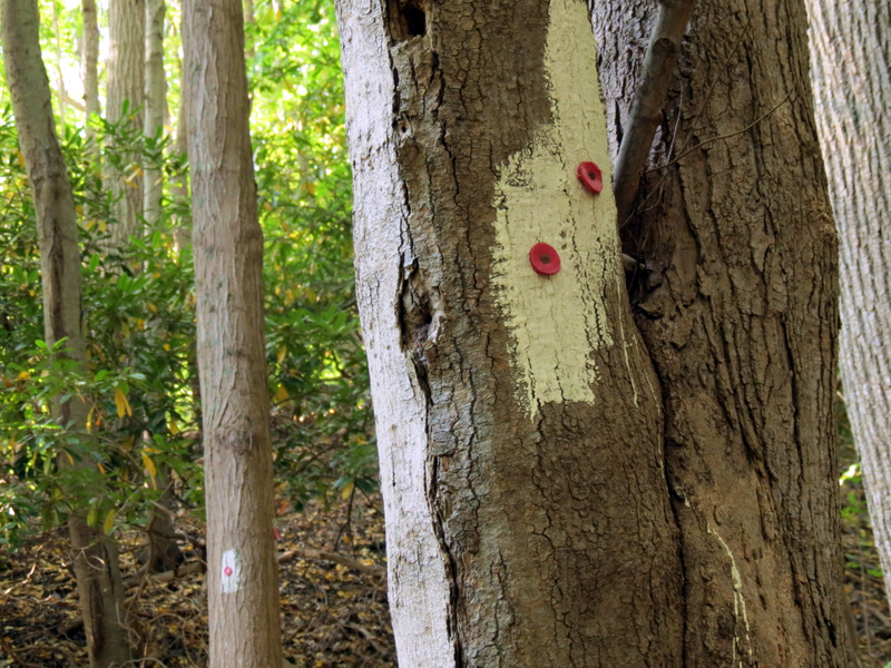 Confusing blazing |
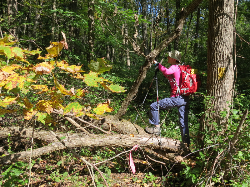
 Climbing off the trail by accident |
 |
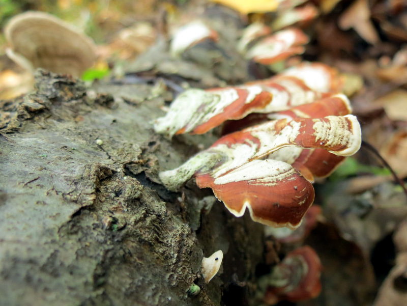 Mushrooms |
 |
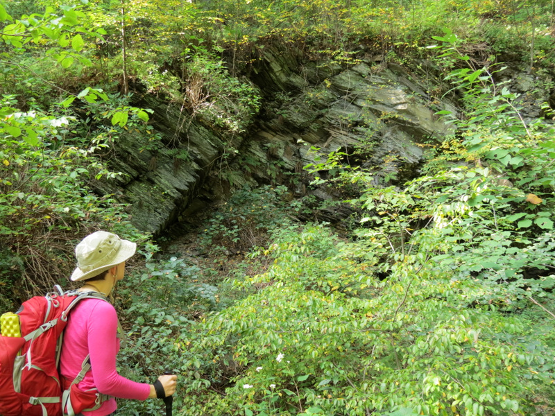
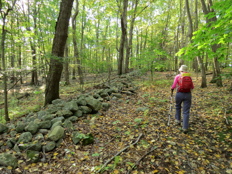 Boundary wall |
 Leaf drop |
 X-country blaze |
 Now on eastern loop |
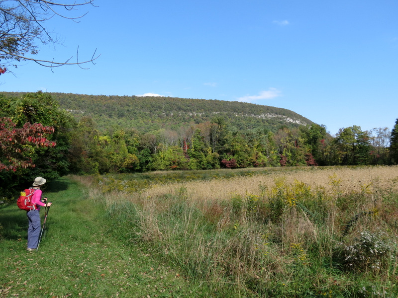
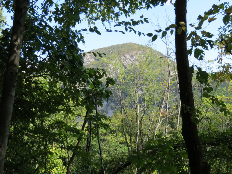
 Ridge of ... |
 ... Mt. Minsi ... |
 ... dwarfs Laura |
 |
 X-country blaze |
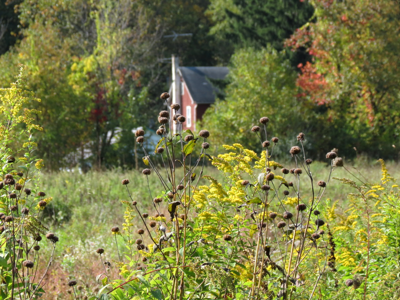
 Slateford Farmhouse |
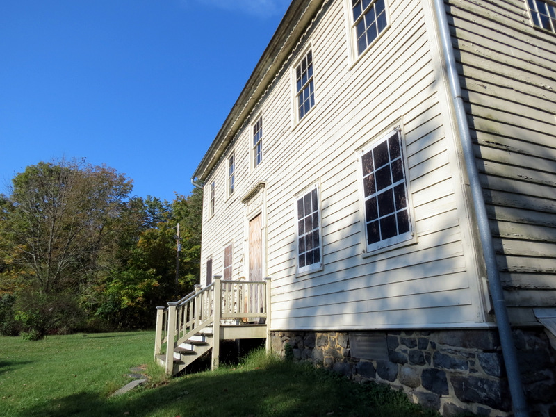 Front of house |
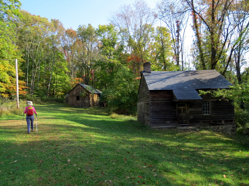 Barns |
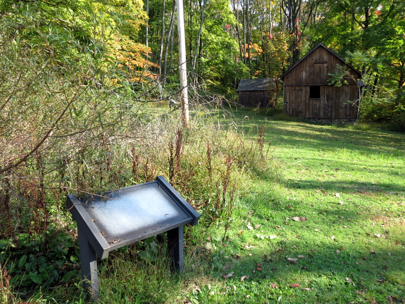 Empty informational sign |
 Abandoned farm buildings |
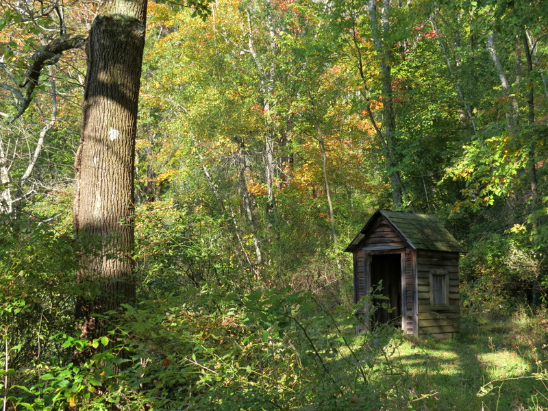 Outhouse |
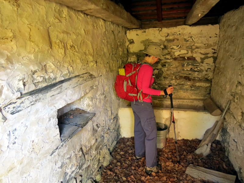 Inside small barn |
 View from window |
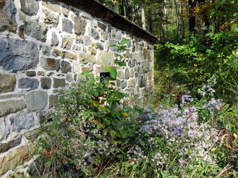 Wildflowers outside |
 Inside large barn |
 Side of barn |
 Close-up of barn wood |
 Hornet nest |
 Design above farmhouse front door |
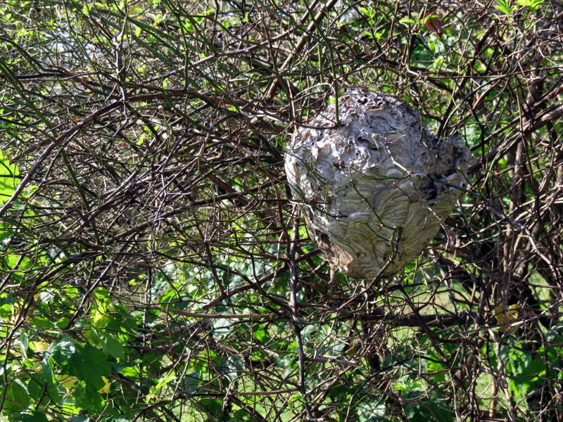 Another hornet nest! |
 Early fall foliage |
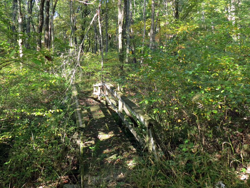 Overgrown vegetation near bridge |
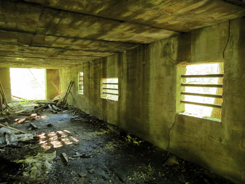 Inside another building |
 Exploring path not on map |
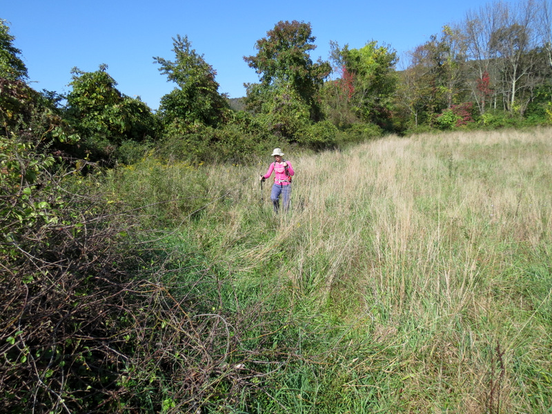
 Very overgrown Slateford Loop |
 Heading back to more navigable part |
 Slateford Loop south of farm |
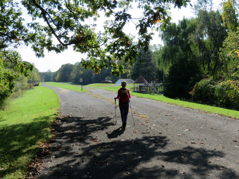 Paved road |
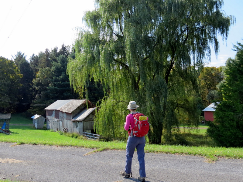 Operating farm and willow tree |
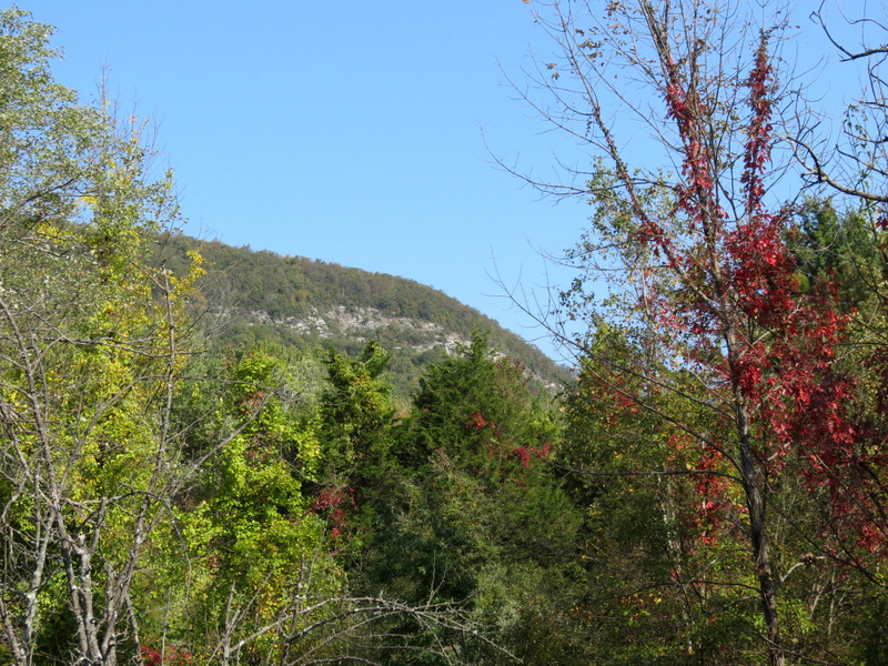 View of Minsi |
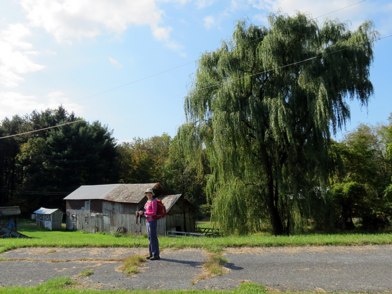 Gorgeous willow |
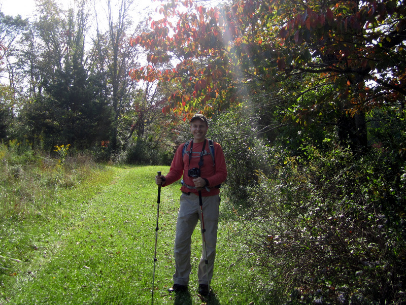
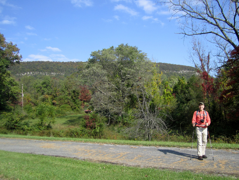 Dan & Minsi [photo by Laura] |
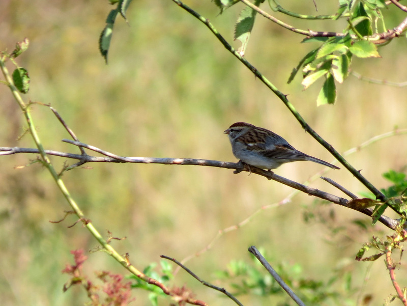 Sparrow |
 |
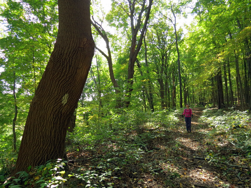
 Nice path here |
 Wildflowers |
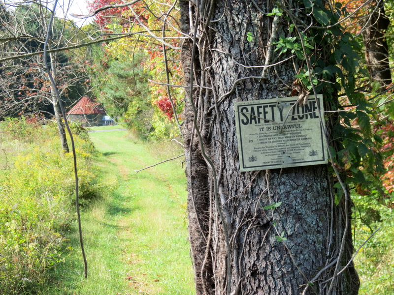 No hunting |
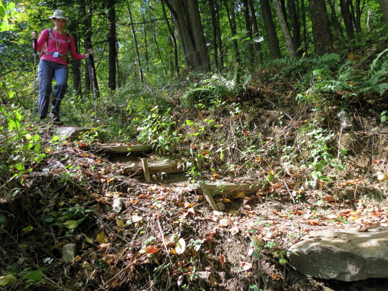
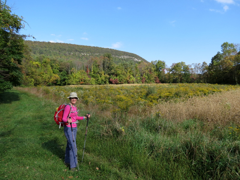 Laura & Minsi |
 |
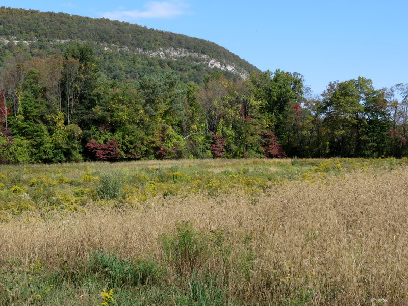 Great views ... |
 ... of Mt. Minsi |
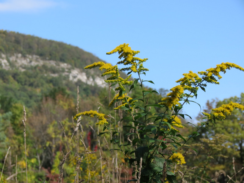 Goldenrod |
 [Photo by Laura] |
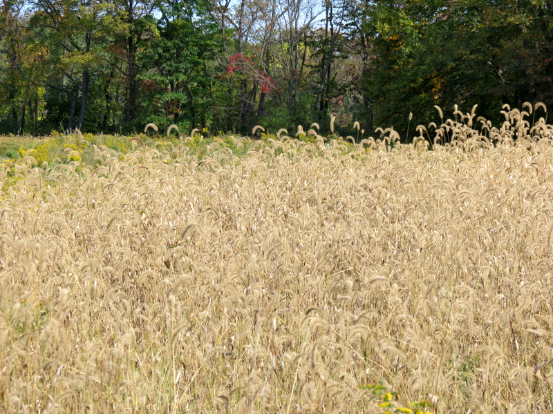
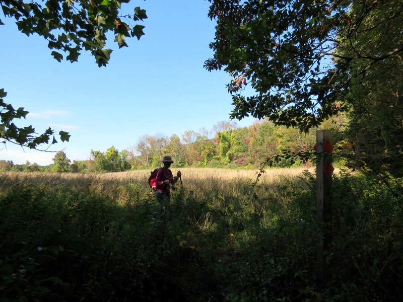
 On field edge (eastern loop) |
 Grasshopper |
 |
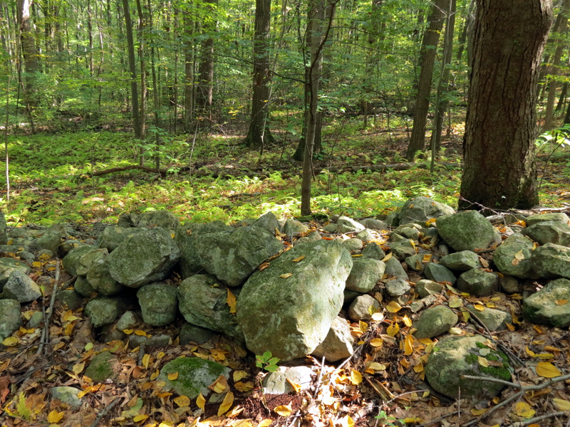 Boundary wall |
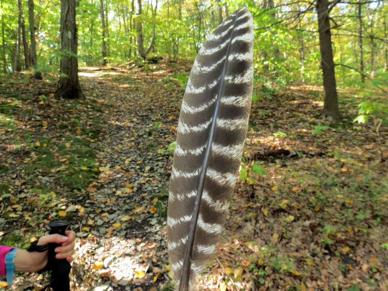 Hawk feather? |
 Some autumn color |
 Back on Arrow Island trail |
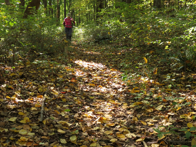 Lots of leaf drop |
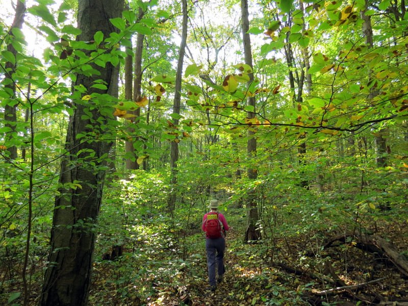
 Trail through thicket |
 Mine (?) on yellow trail |
 Cut into the mountain side |
 Yellow trail is not on map |
 Tree hopping |
 Mt. Tammany from a spur trail |
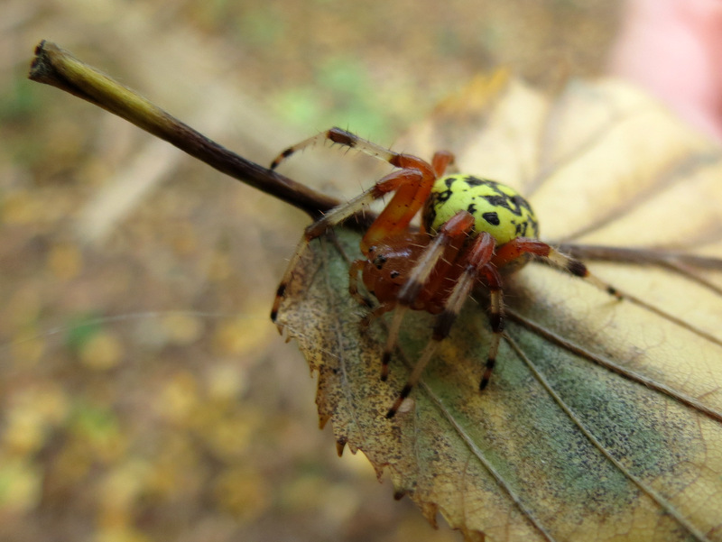 Marbled Orb Weaver Spider was on my shoulder |
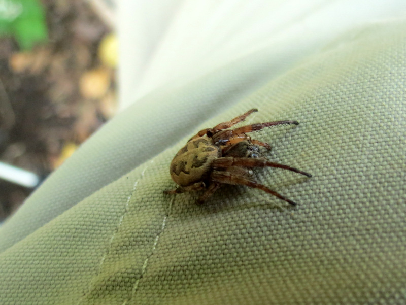 Another spider on my pants |
 Used to be a tree-lined road |
 Back down |
 Arrow Island trail head |
 Mt. Tammany from parking lot |

|
|
Photographs and content copyright © Dan Balogh Web design by Dan Balogh |