 |
|
The weather has been sweltering all over the country this past week, especially in New Jersey where it hasn't been below 90 F for about a week, with several days near
and over 100! We weren't sure we'd be doing any hiking this weekend, given the high temperatures, but when we heard that it would be in the high 80s today we decided to
do something short. The NYNJTC trail map 126 for the Jersey Highlands indicated a relatively small unlabeled parcel of land in Sparta Glen with a viewpoint! A websearch
indicated about a mile of trails. Perfect, I thought, for a hot humid day. Our intent was to visit the vista on the map by climbing the unblazed trail, and then returning
to the car on green and then blue. Well, we discovered that there's much more than a mile worth of trails, and given that almost
nothing is blazed, the GPS of my iPhone came in handy.
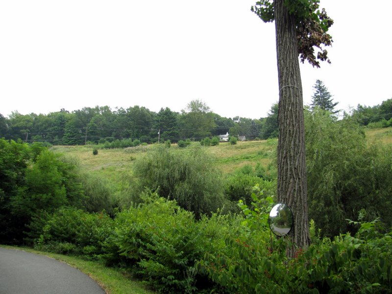
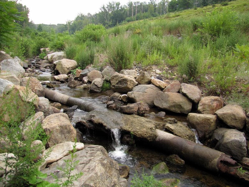
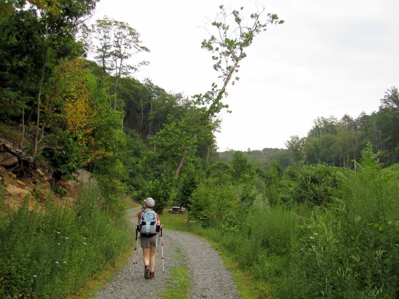
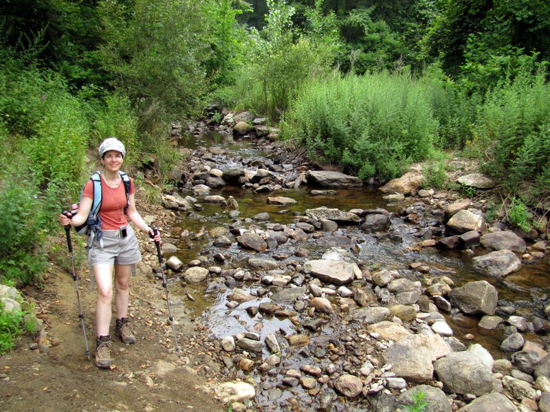
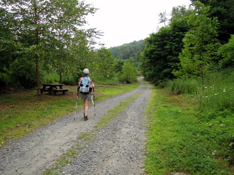
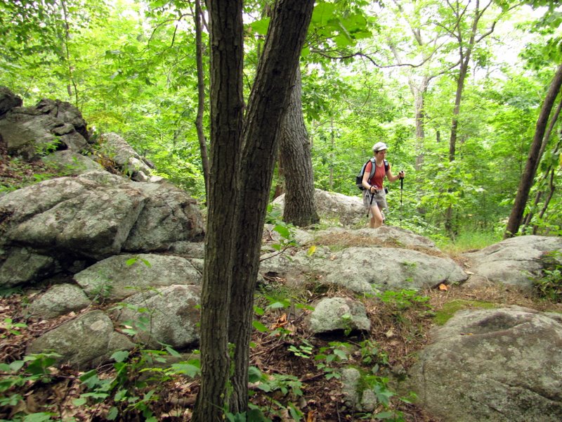
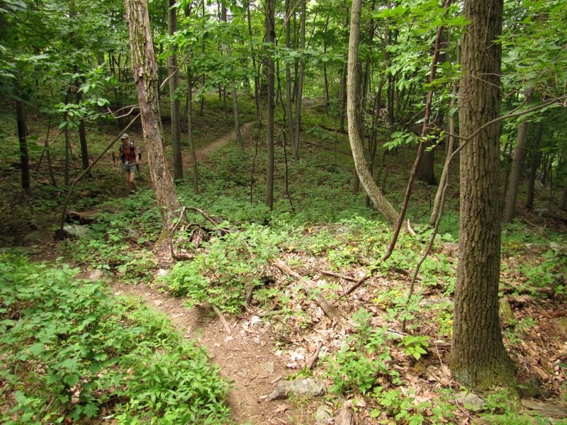
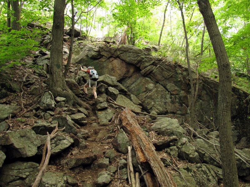
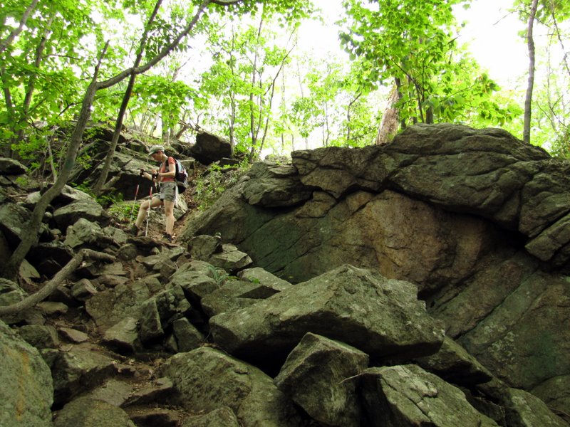
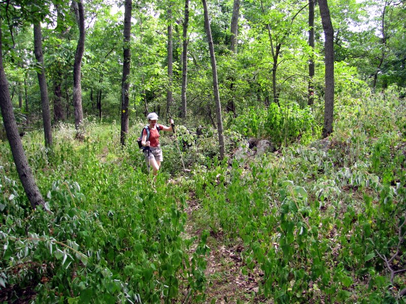
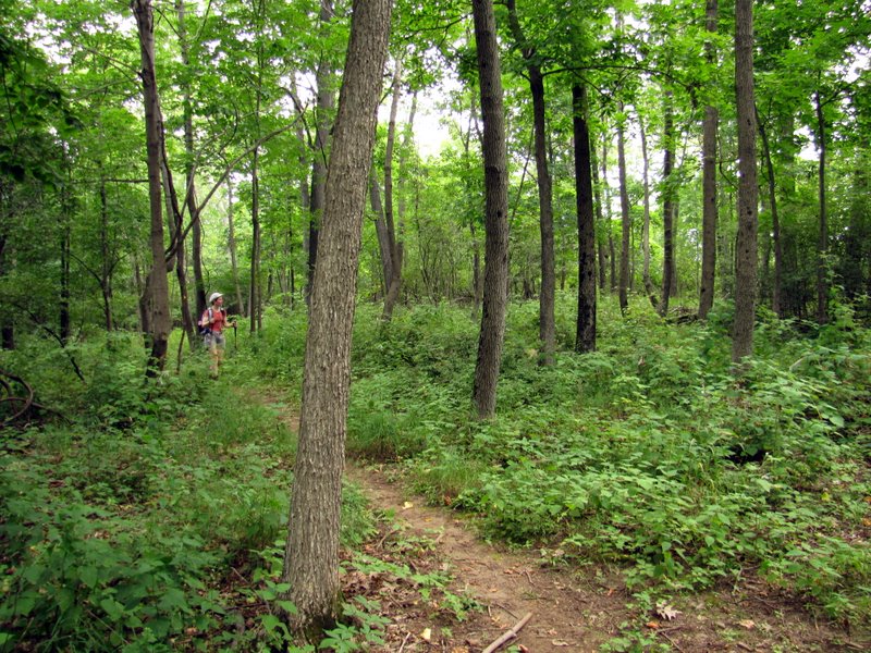
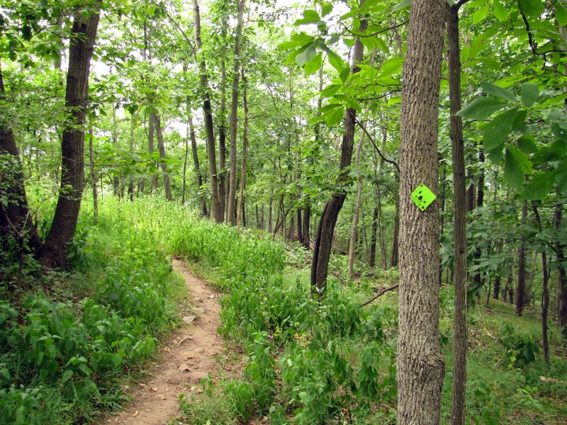
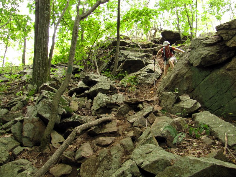
We parked in the first lot east of the entrance (the gate was closed, prohibiting us from driving any further east). So we walked as far east as we could go. At the end of the paved road we continued on the gravel road, all the while paralleling a lovely narrow stream. I thought the unmarked trail began at the end of the gravel road, so we bushwacked up, up, up north from the end of the gravel road. We even found a fire ring at the top, so we thought we were on the right track. But after wandering around at the top and losing even the faintest of trails, we decided to head back down to the gravel road and try again. Another inspection of the map showed that the unmarked trail to the viewpoint began at the end of the paving, so back west we headed. Sure enough, a nice trail began at the pavillion. We took this up, up, up until we got to a fork and took the right of the fork, continuing to ascend, at one point climbing quite steeply until we got to the nice lookout of Lake Mohawk a bit west. From the viewpoint one could continue further north or head northeast (none of this is accurately reflected in the map). We headed northeast eventually finding a yellow-blazed trail (not on the map). My GPS told me that we were well outside the bounds of the park, as demarcated on the map. But we continued on yellow until we got to green (at least we saw one blaze of green, the only green blaze of the afternoon) and then found ourselves back at the viewpoint. We headed back downward (steeply) south and then took the other leg of the fork encountered near the beginning. This headed west to blue, which we took south back to the paved road and the car. It seems we missed nearly all of the blue and green, instead going on unmarked trails, and (of course) on yellow (which is not on the map). Yellow, incidentally, continued north. If it wasn't so hot we probably would have done more exploring. Suffice it to say, after hiking nearly 3 miles, and noting the existence of other trails we didn't touch, this area for sure has more than one mile of trails! Total distance hiked today was about 3 miles in 2 hours, with a really nice climb.
|
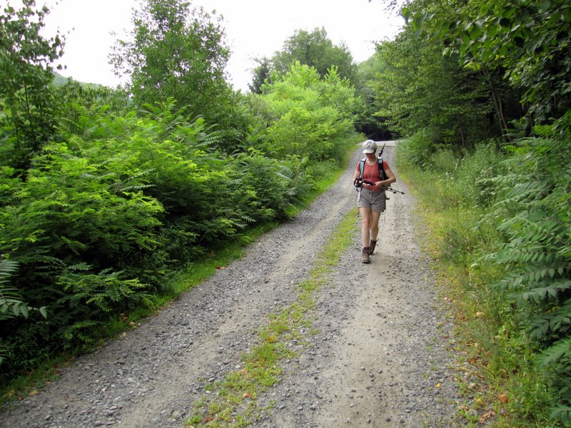
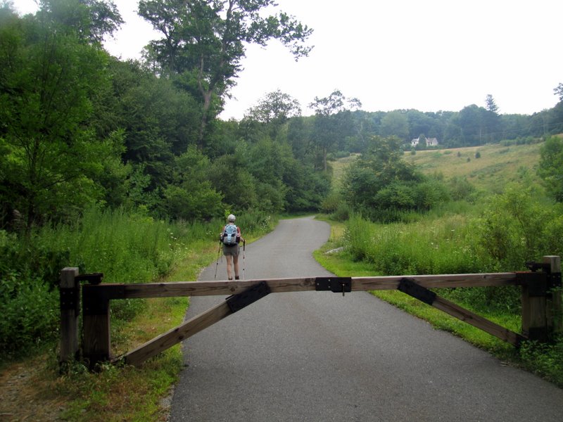 Heading east after gate |
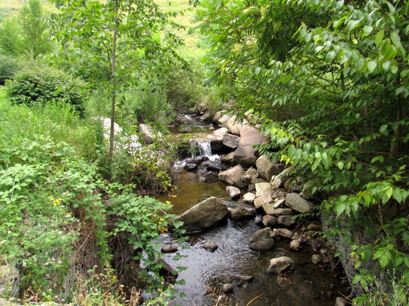 Beautiful stream |
 Route 620 above |
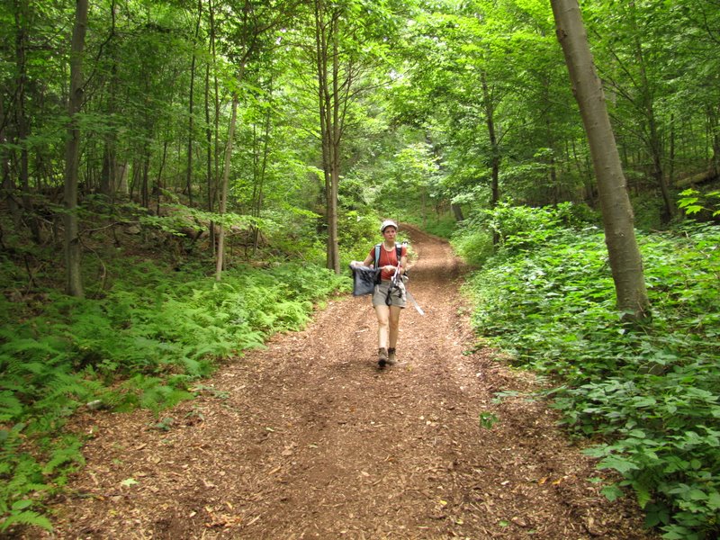
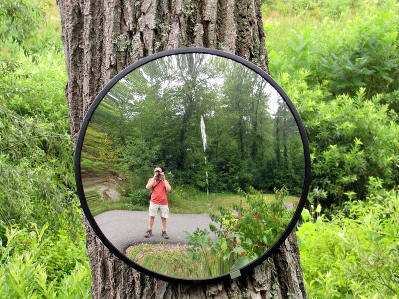 Self-portrait |
 [Photo by Laura] |
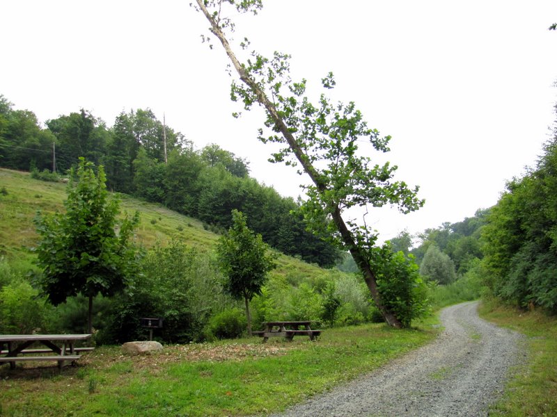
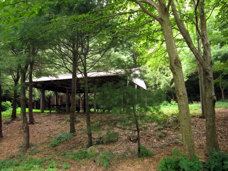 Pavillion, where unmarked trail begins |
 Continuing on gravel road east |
 More views ... |
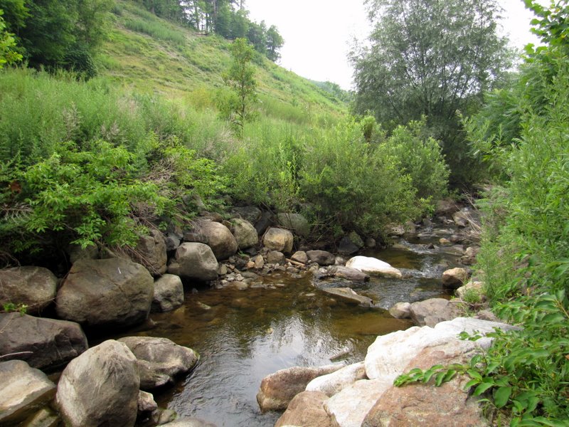 ... of stream |
 Cool crooked sycamore |
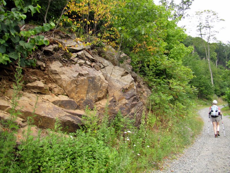 Nice rock formation |
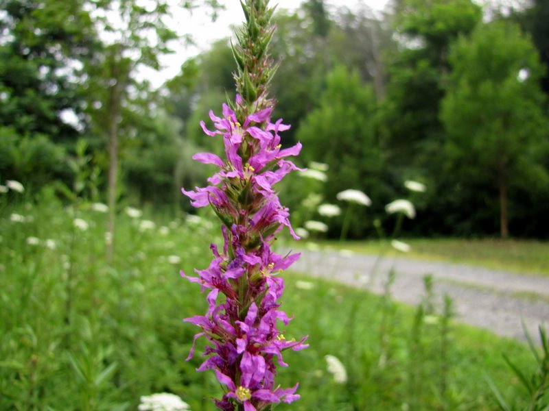 Wildflower |
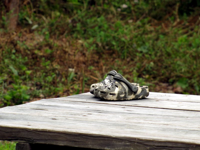 Kid's crocs |
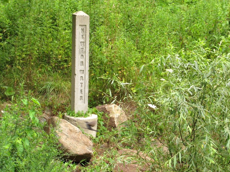 Newton Water marker |
 As far east as we could go |
 |
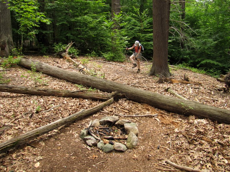 Fire ring at top |
 No trails up here |
 Heading back east on gravel road |
 |
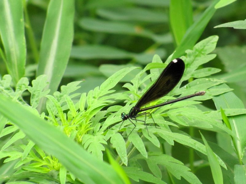 Damselfly |
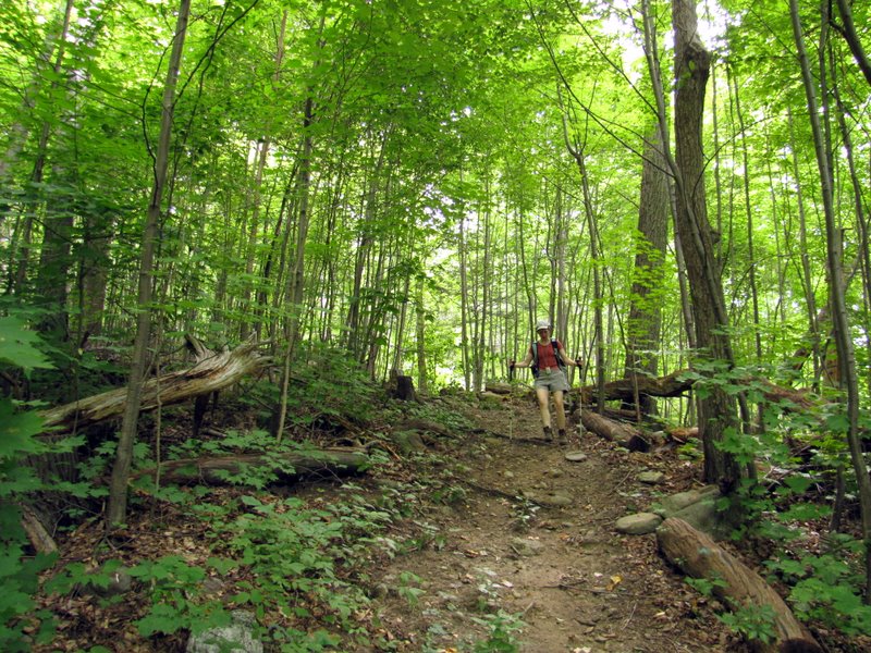
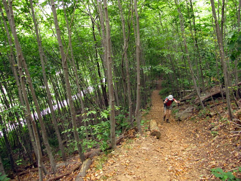 Ascending the steep trail |
 |
 Fork, we went right ... up |
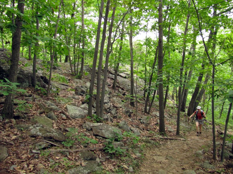 Good climbing here |
 Rocky |
 |
 Steepest climb ... |
 ... of the morning |
 [Photo by Laura] |
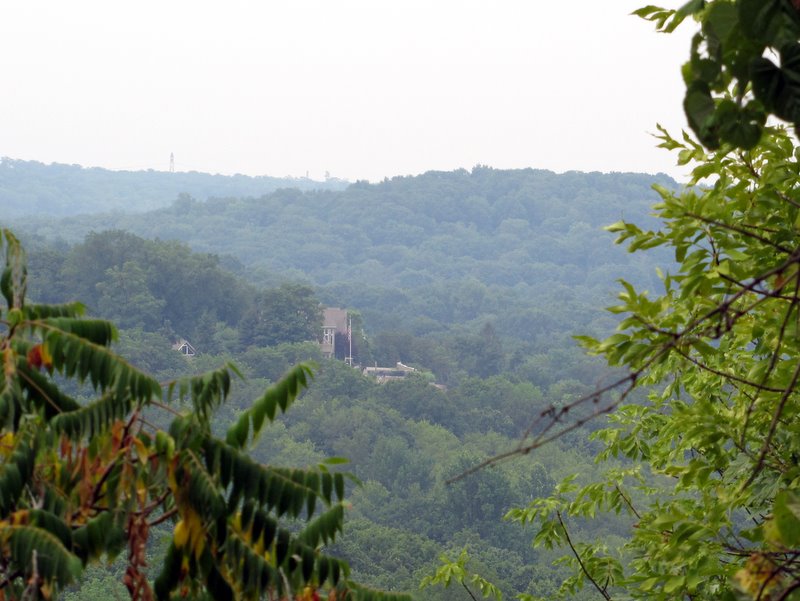 Partial view west |
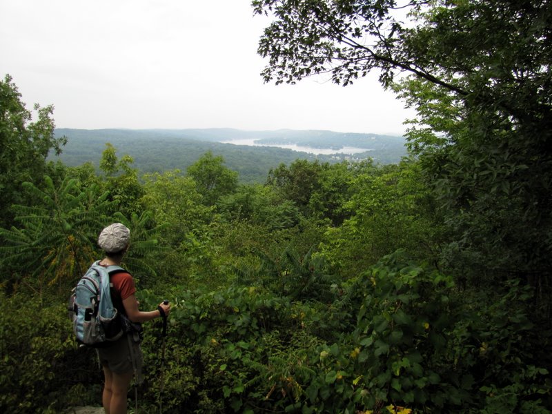 Lake Mohawk viewpoint |
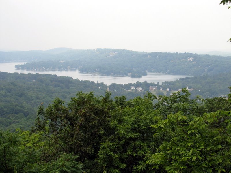 Lake Mohawk |
 Closer views ... |
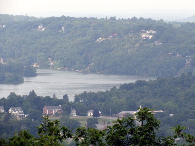 ... of Lake Mohawk |
 Now on yellow |
 |
 The only green blaze of the day |
 Descending from ... |
 ... the viewpoint |
 |
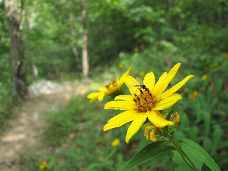 Trail wildflower |
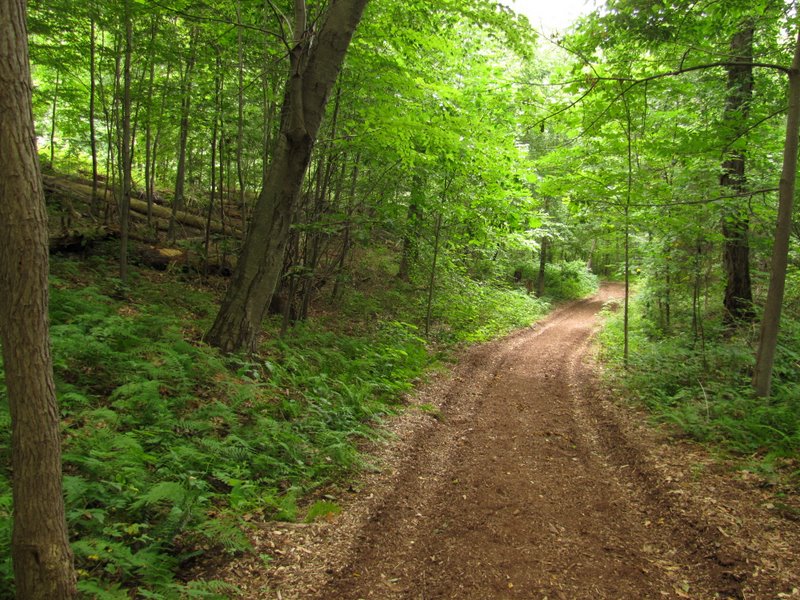
 Level unmarked trail |
 Saplings |
 Boy scout bench at blue |
 Blue heading south to road |
 Mushrooms |
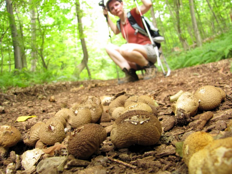 Close-up |
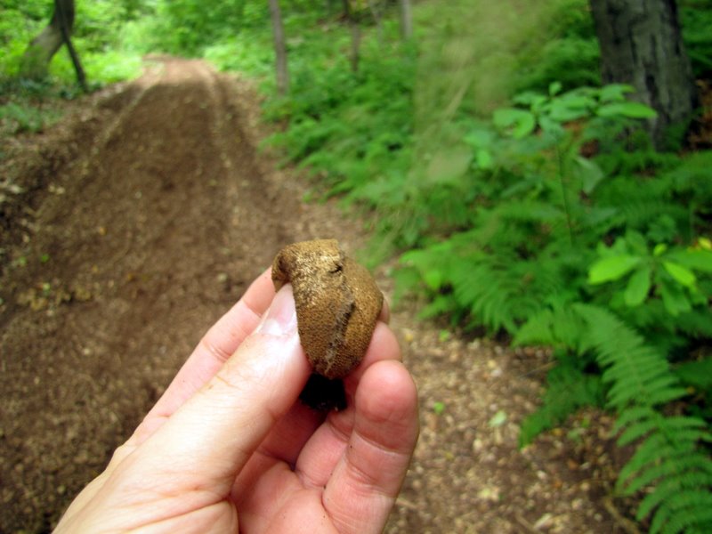 Dust blew out upon a squeeze! |
 |
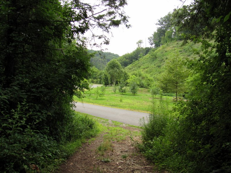 Back to the road |
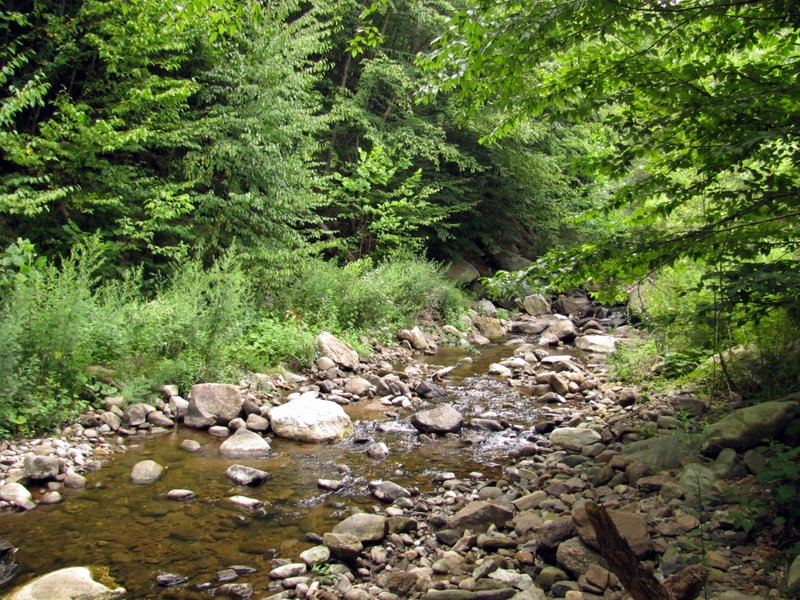 Stream |

|
|
Photographs and content copyright © Dan Balogh Web design by Dan Balogh |