 |
|
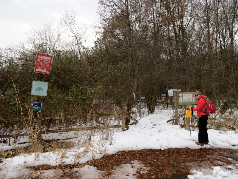
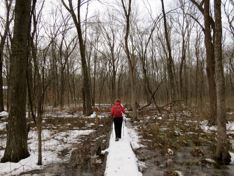
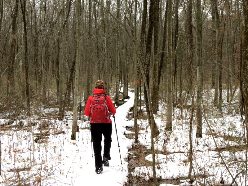
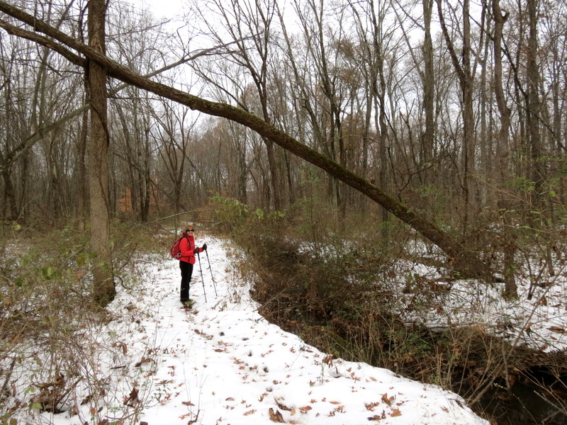
After northern New Jersey received 7-8 inches of snow this past Thursday, we decided to go somewhere close and to keep it short. So we decided to visit this area, just
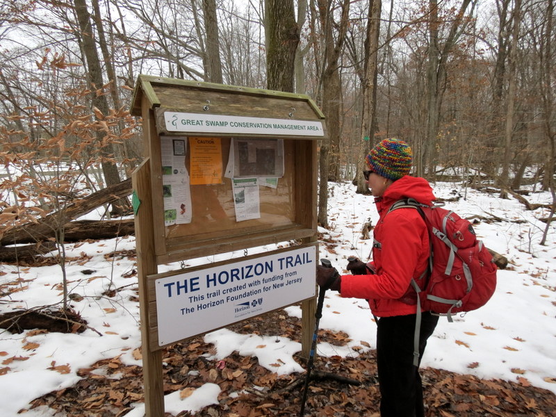
ten minutes from our house. I discovered this new network of trails, just south of IS-287 in Harding Township, just recently. While it is part of the Great Swamp Watershed,
it is not continguous with the large Great Swamp area located a few miles south (we have hiked that area many times). These trails are just yards south of IS-287 (so yes, there
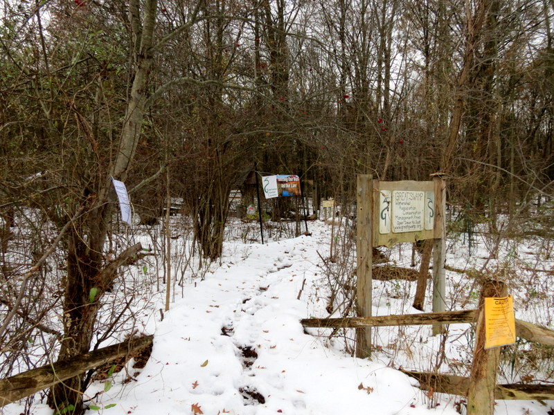
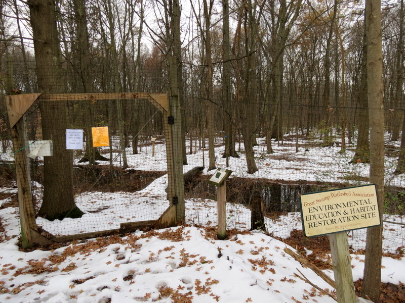
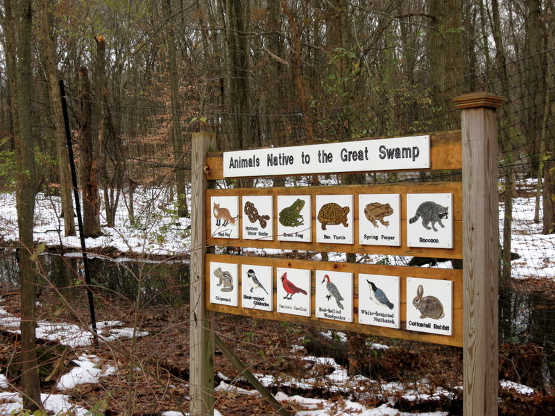
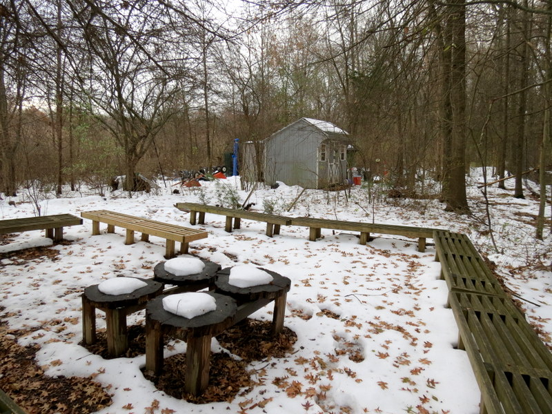
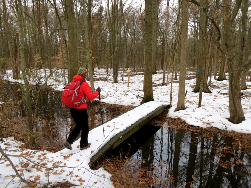
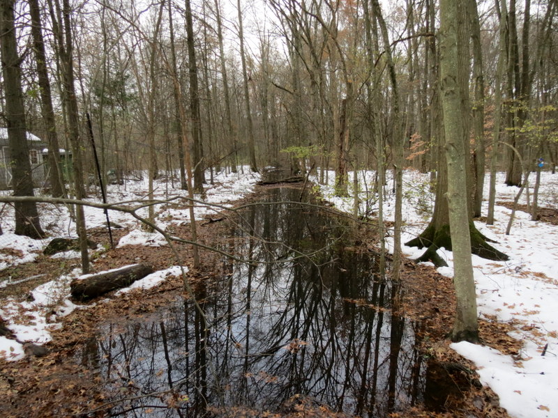
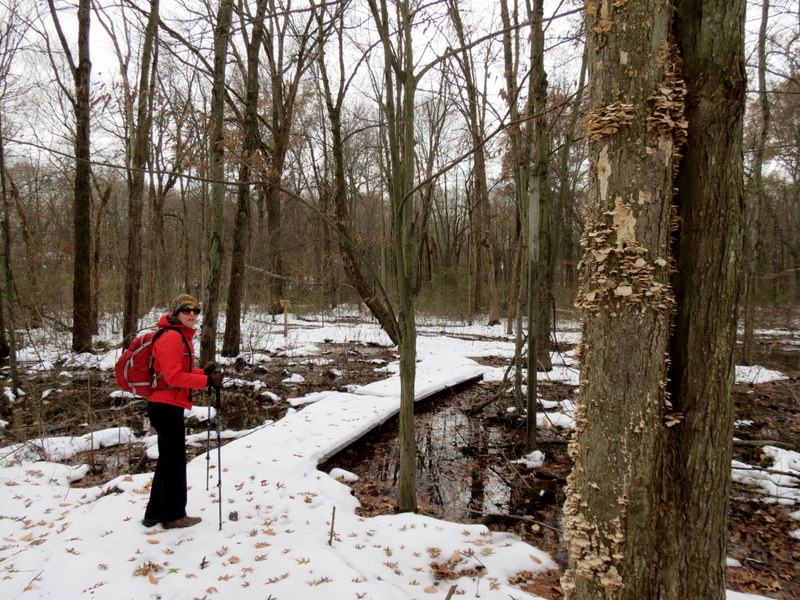
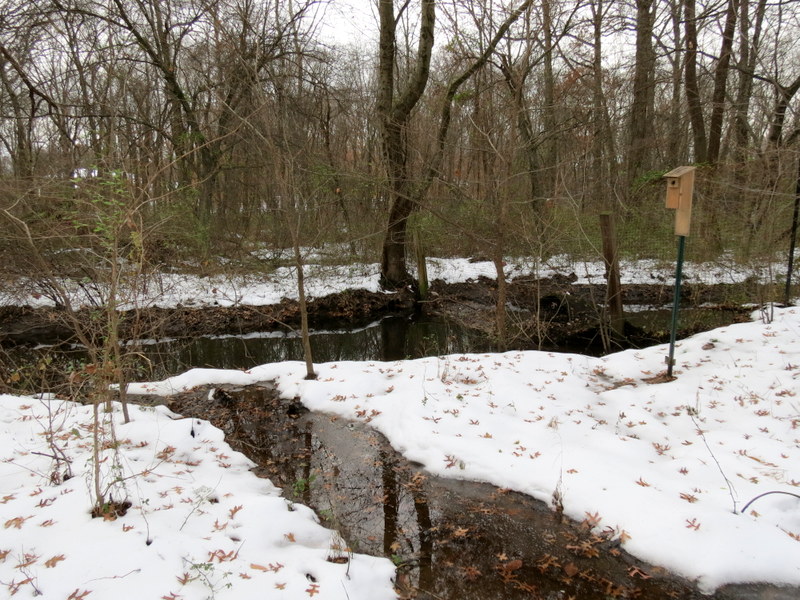
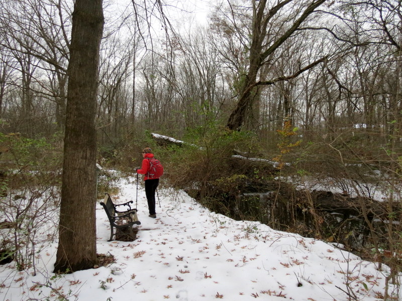
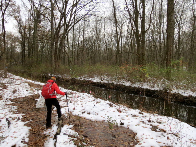
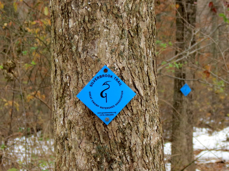
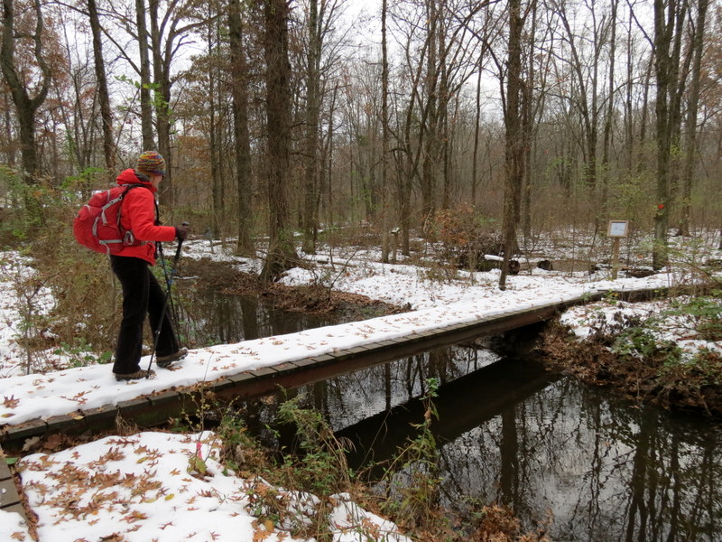
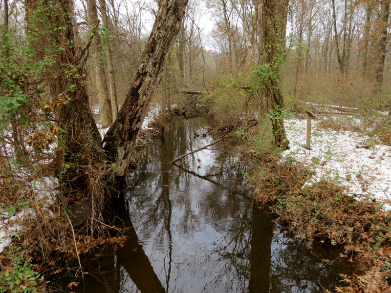
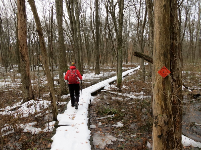
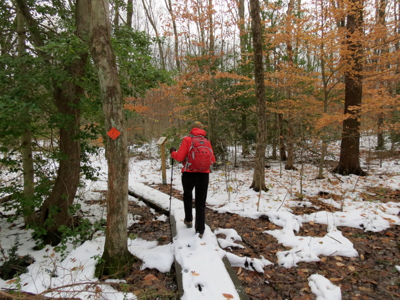
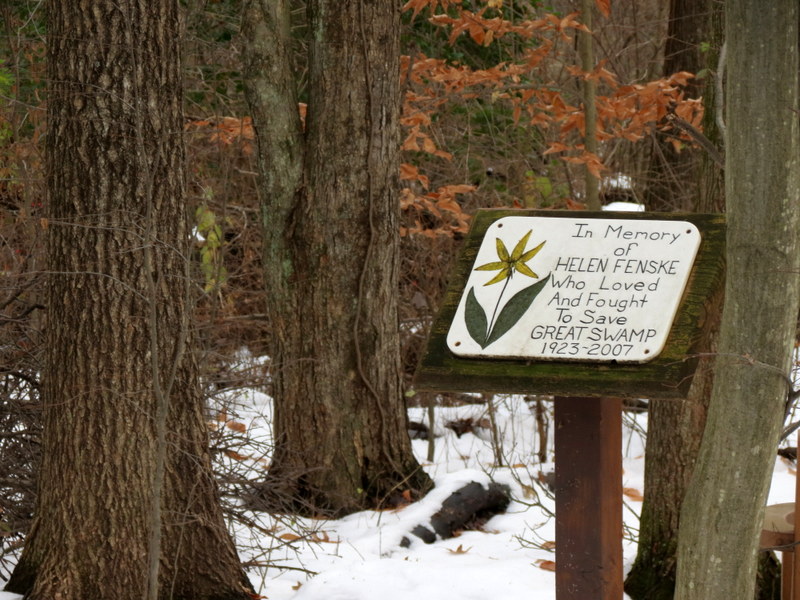
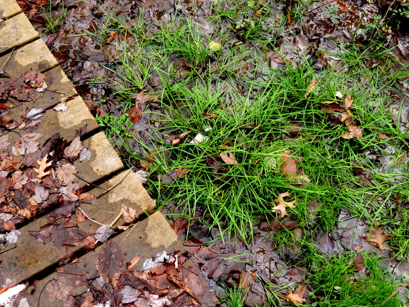
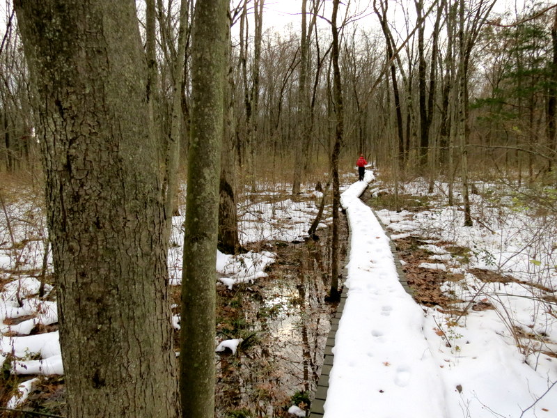
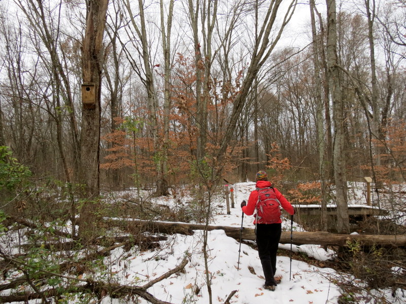
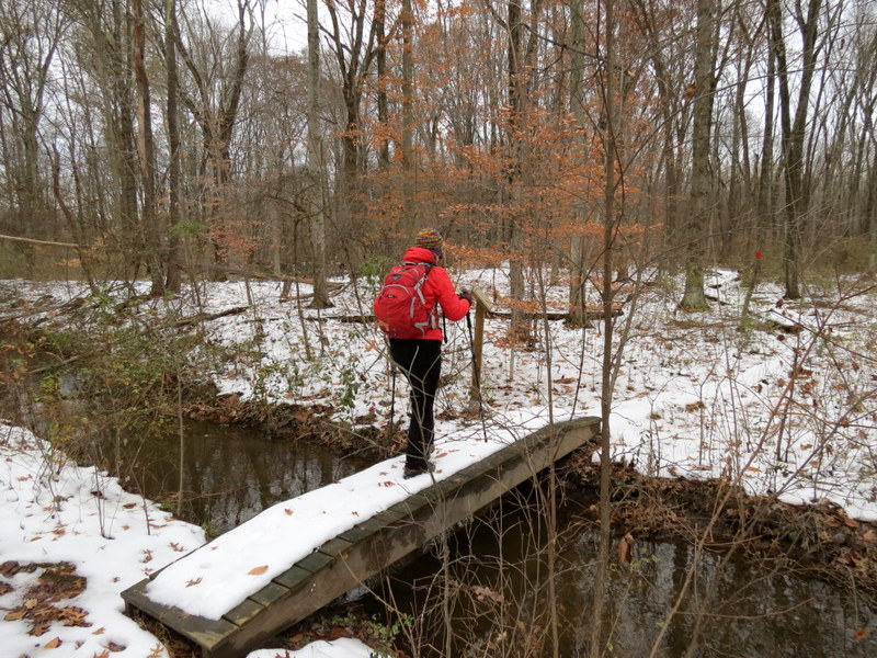
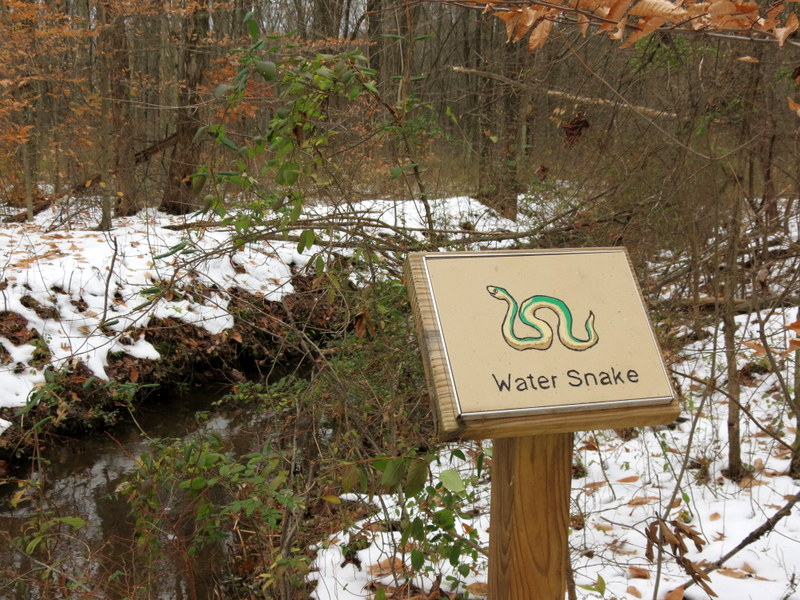
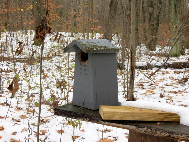
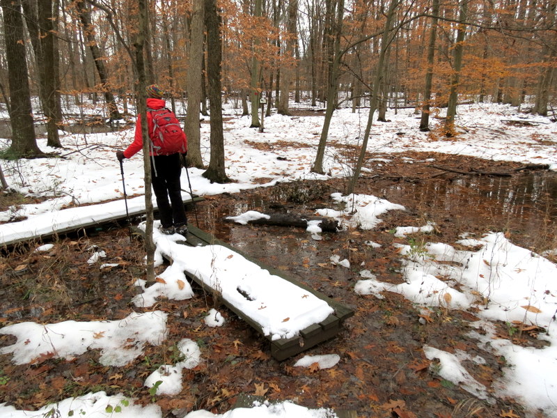
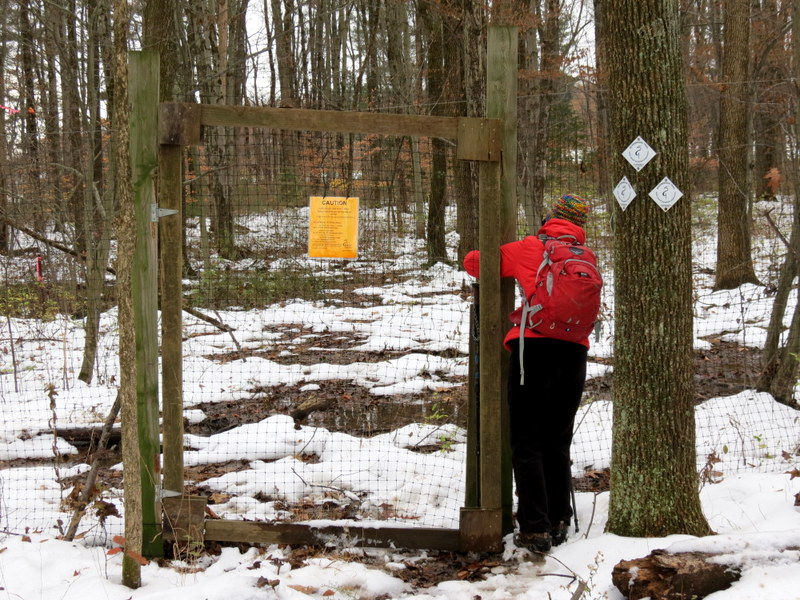
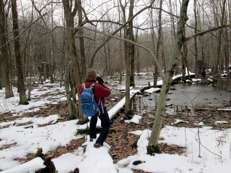
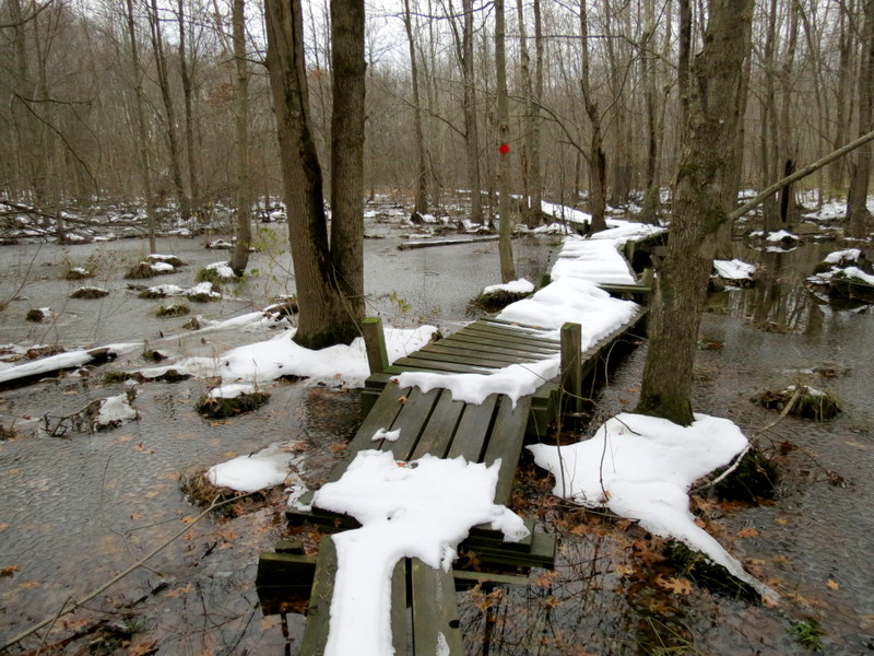
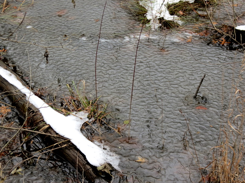
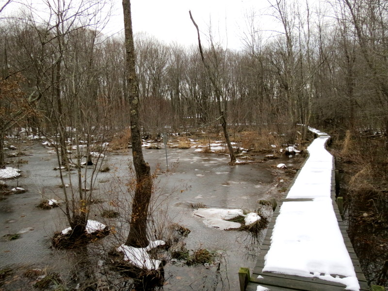
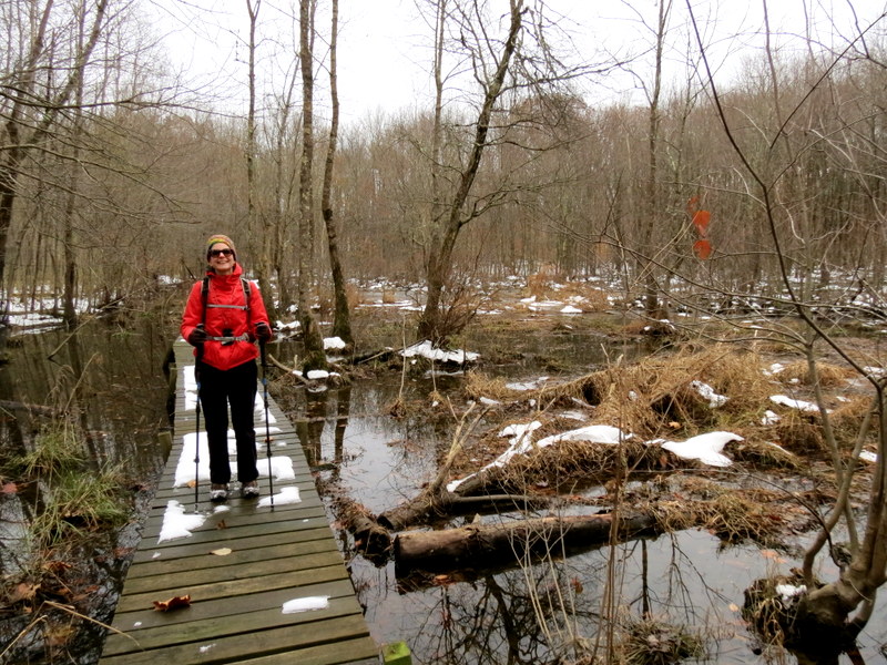
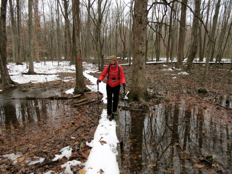
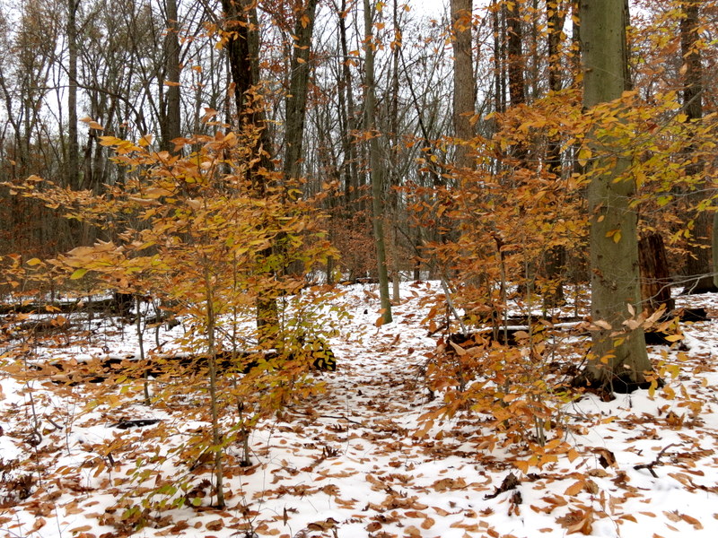
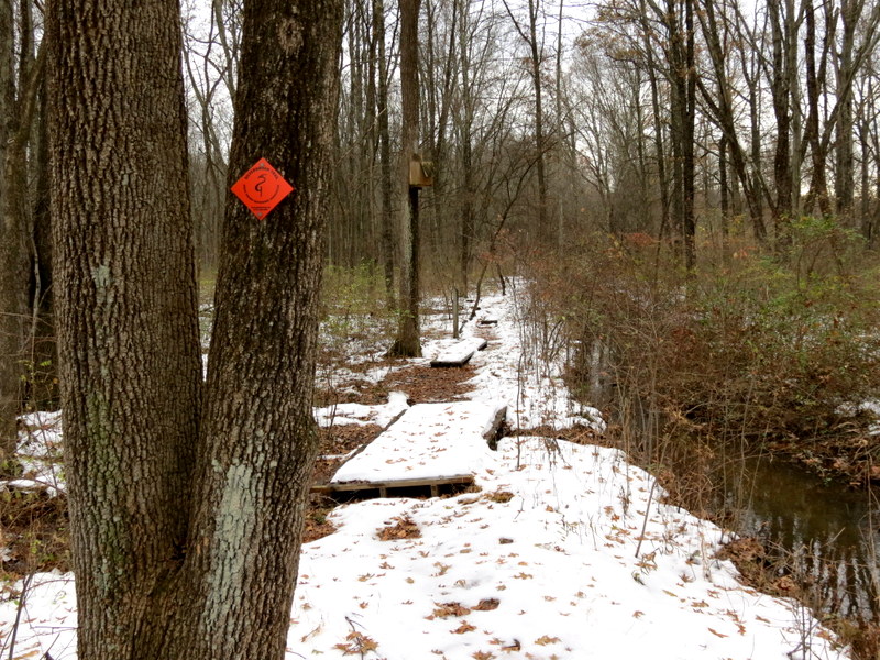
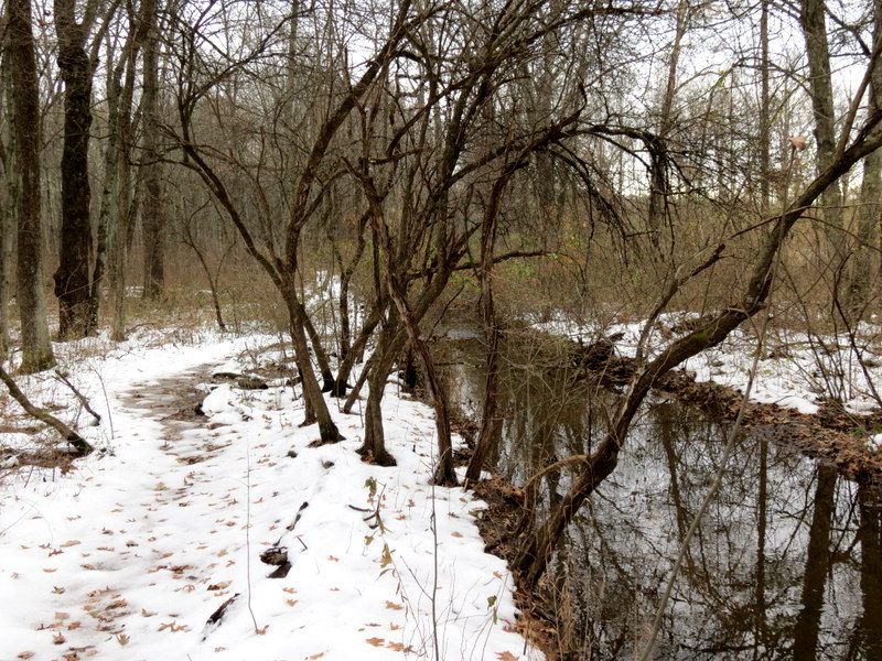
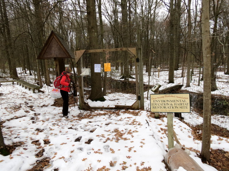
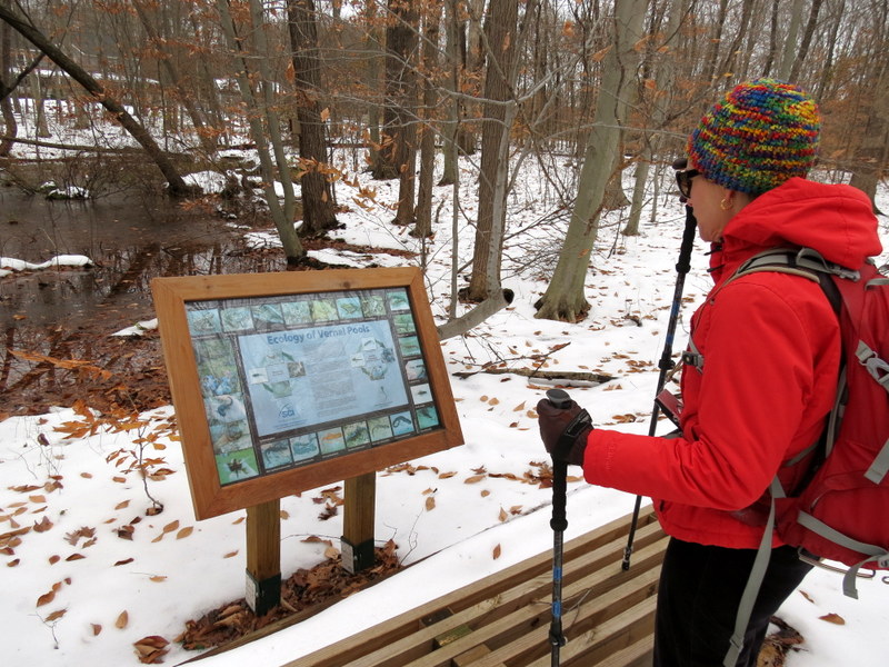
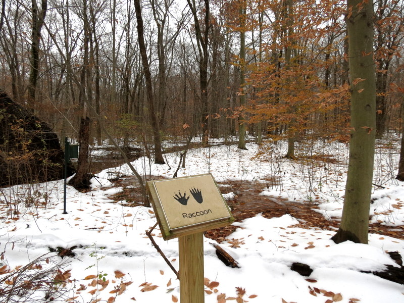
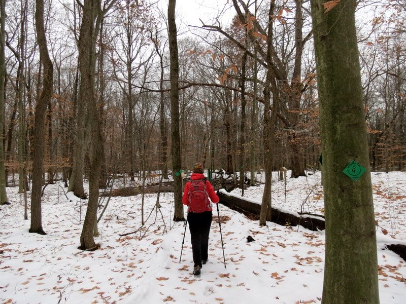
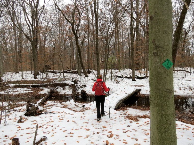
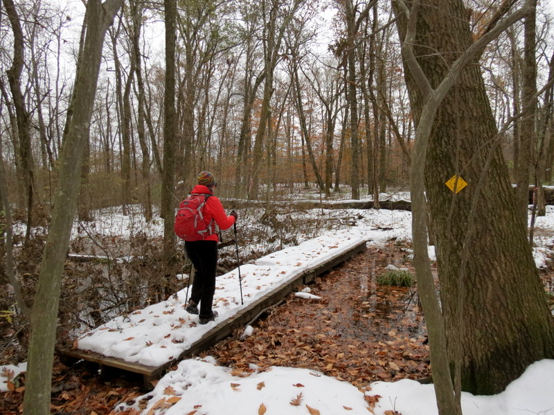
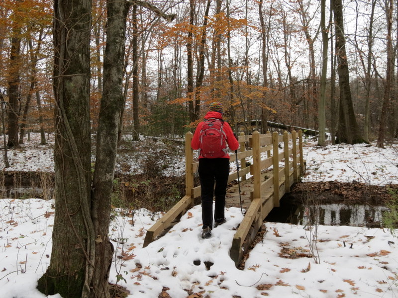
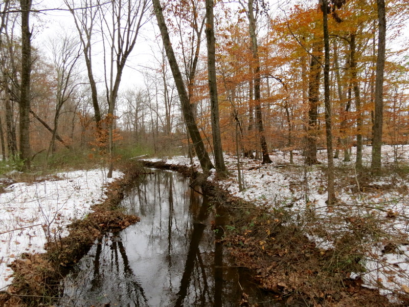
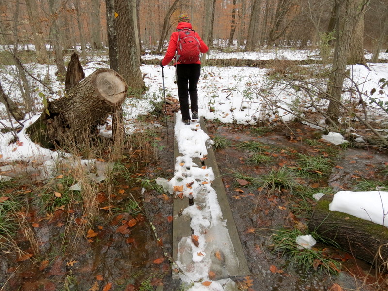
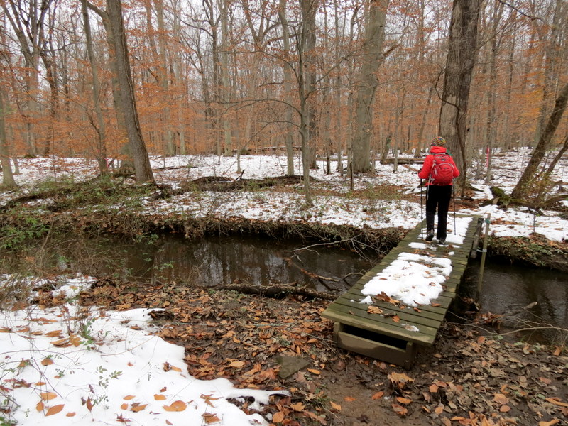
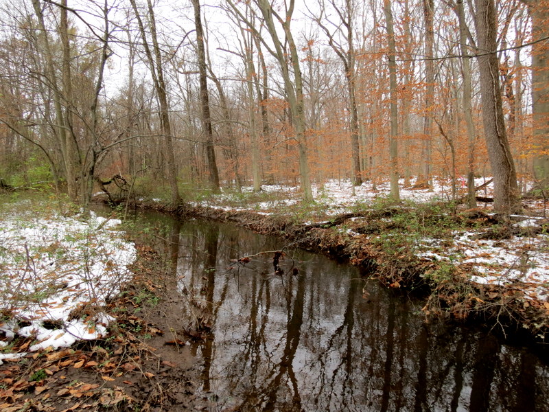
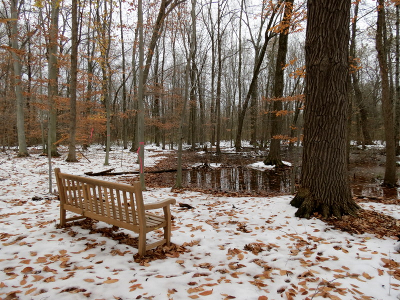
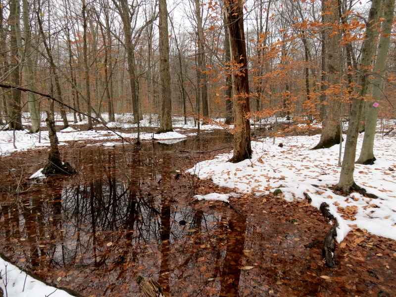
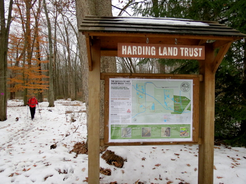
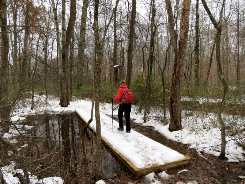
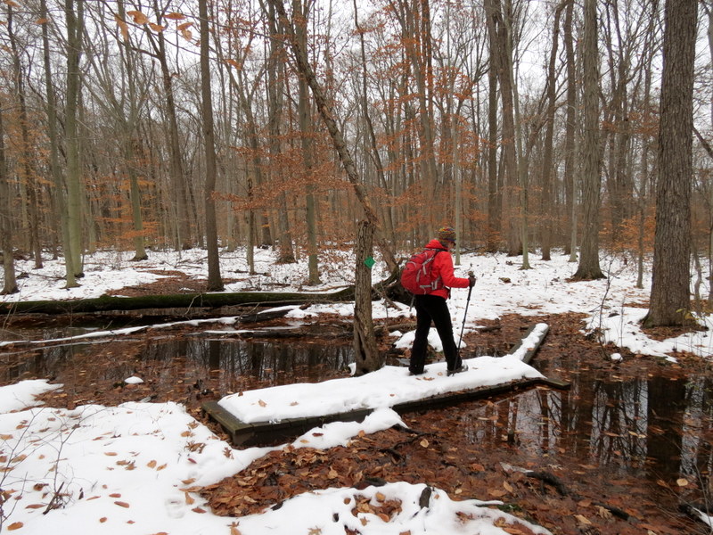
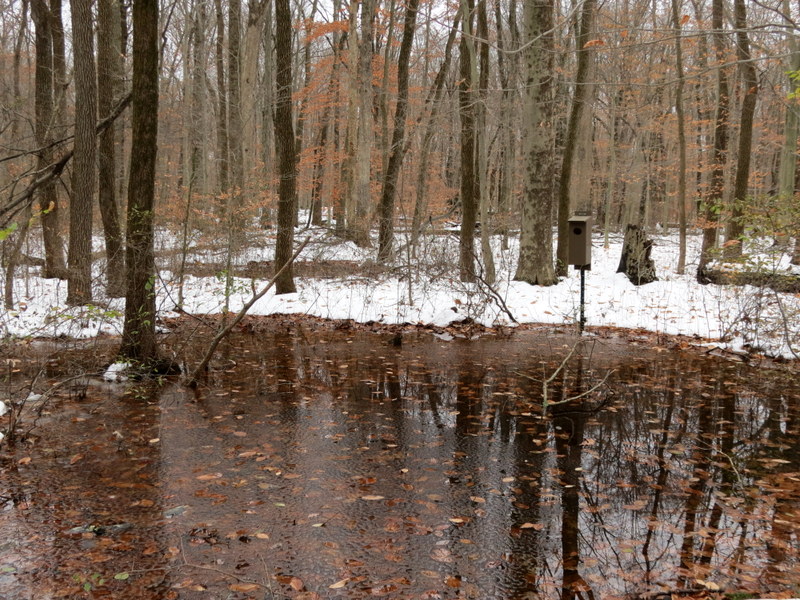
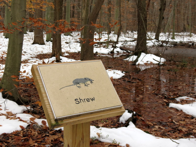
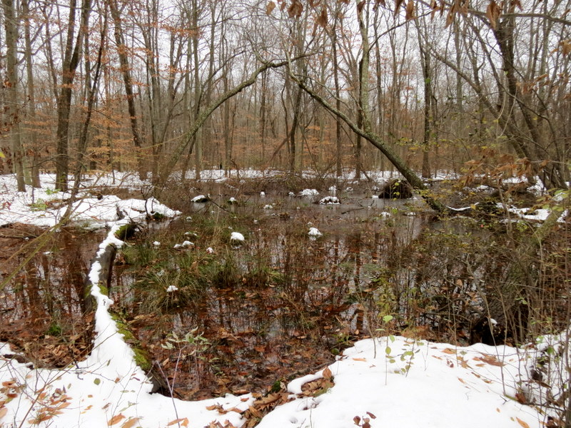
is traffic sound in parts) in Harding Township. And the area is a delight! It's filled with infomative signs, meandering boardwalks which take you into the heart of swamp area,
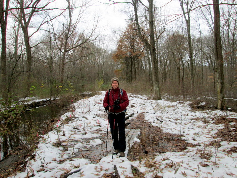
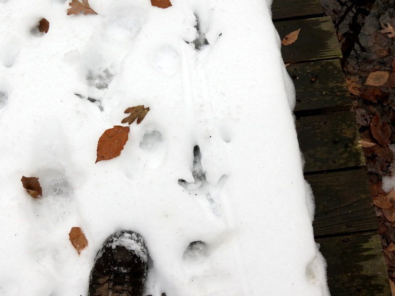
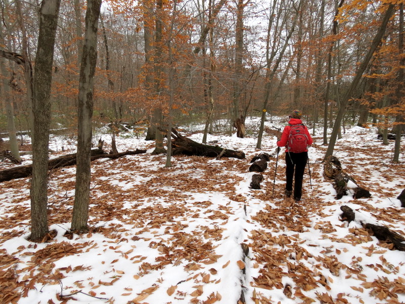
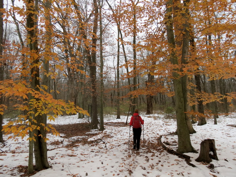
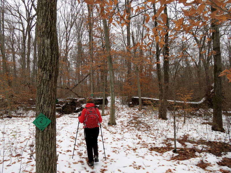
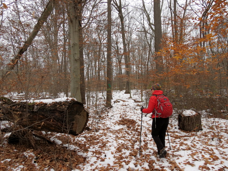
and though it's close to residential areas, it almost always feels remote. This morning it was cold, snowy and muddy... in other words, perfect hiking weather!
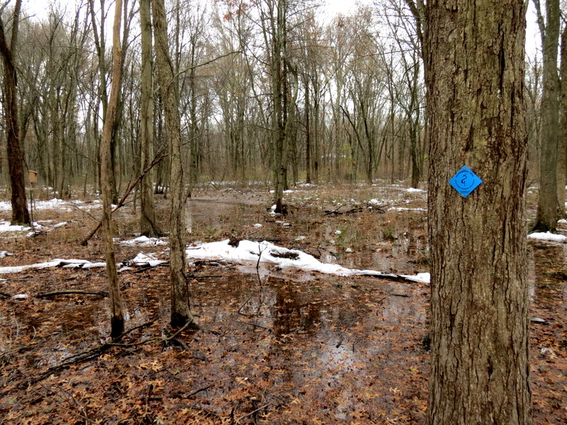
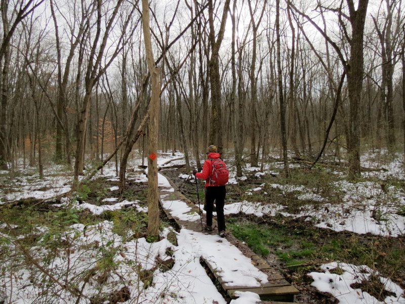
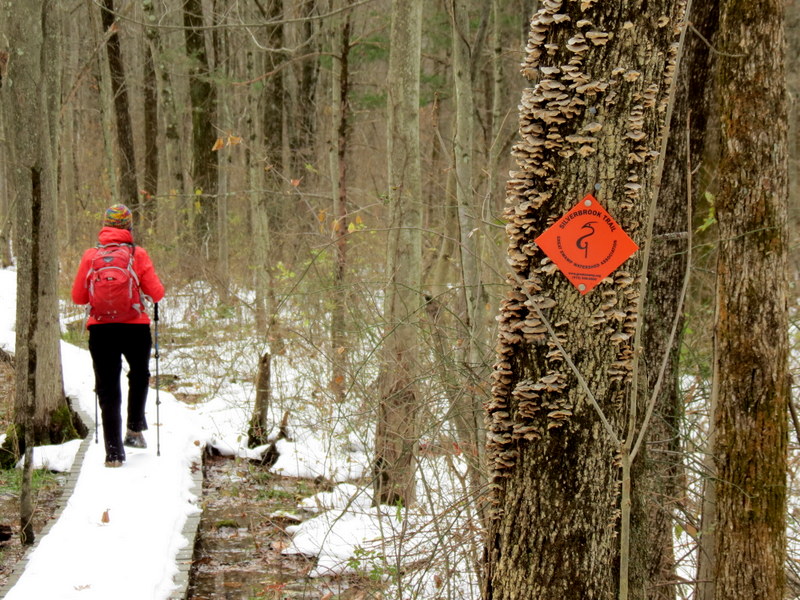
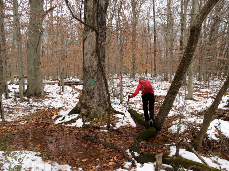
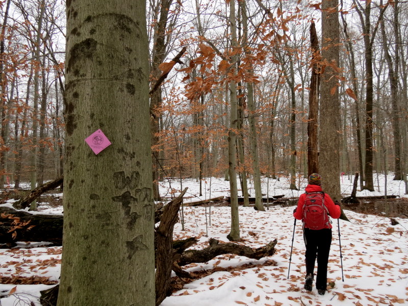
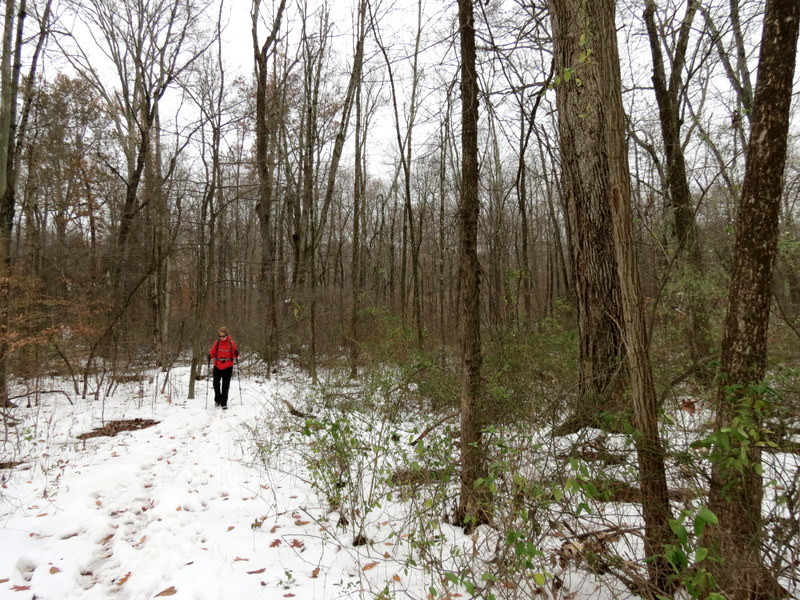
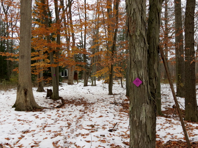
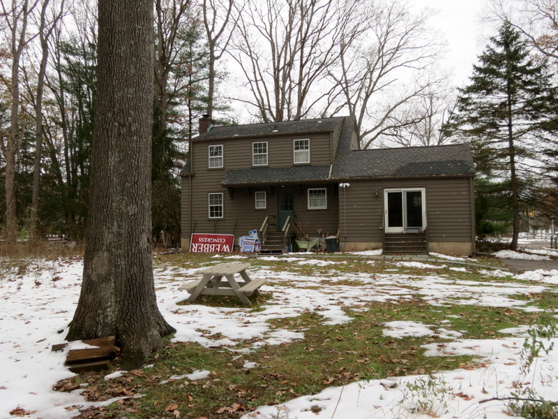
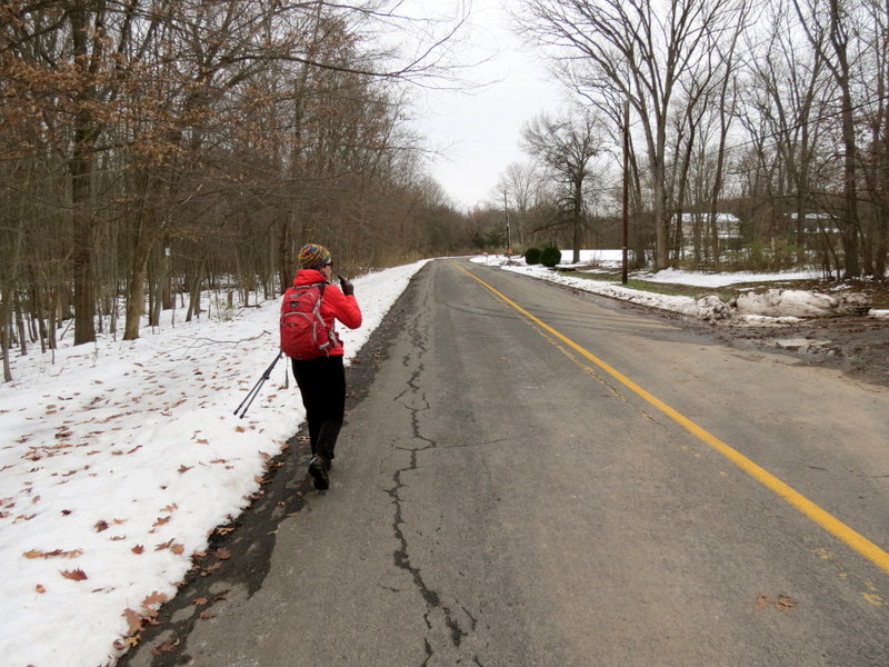
Using this map, we parked at the western end of Tiger Lily Road and headed south into the swamp. Following the right-hand rule (always taking the right fork), we first did the western part of Blue, then Orange (it's Yellow on the map), and finally Red (in the counter-clockwise direction), before heading back north on Orange, and then Blue, back to the car. At this point, we walked no more than 0.3 miles east on Tiger Lily Road to get to the eastern network of trails, beginning with the Green Silverbrook Trail. We tried following the right-hand rule and ended up doing a good percentage of the trails here as well, ending up at the Harding Land Trust building on Harter Road, before turning back and returning to Tiger Lily road via the eastern part of the Silverbrook trail. The short road walk brought us back to our car. You can see our track here, but note that my iPhone lost satellite coverage when we were walking the southern-most part of the Red trail in the western area. The track shows a diagonal line, which the app filled in once it reaquired satellites, but our actual track follows the Red trail on the map. It should also be noted that the map shows a Purple Connector trail. We saw a gate to this trail from the western network, but Yellow blazes (not Purple) to the east. It was too wet to continue, and we're not even sure the trail is there. We only saw two blazes and we didn't see the terminus of this connector trail on the eastern side. When the weather is better, we'll return and see if it's there. Total distance hiked today was 3.5 miles in 2.5 hours.
(Click on the thumbnail to bring up a bigger image in a pop-up window)
|
 |
 |
 |
 |
 |
 |
 |
 |
 |
 |
 |
 |
 |
 |
 |
 |
 |
 |
 |
 |
 |
 |
 |
 |
 |
 |
 |
 |
 |
 |
 |
 |
 |
 |
 |
 |
 |
 |
 |
 |
 |
 |
 |
 |
 |
 |
 |
 |
 |
 |
 |
 |
 |
 |
 |
 |
 |
 |
 |
 |
 |
 |
 |
 |
 |
 |
 |
 |
 |
 |
 |
 |
 |
 |
 |
 |
 |
 |
 |
 |
 |
 |
 |
 |

|
|
Photographs and content copyright © Dan Balogh Web design by Dan Balogh |