 |
|
We've hiked in Farny State Park, a surprisingly rugged area with 30 miles of trails in Morris County, a handful of times in the past. But we always did so without a map
because none had been available. Last month the NYNJTC released an excellent new map set for the Jersey Highlands region, which covers Farny, as well as the neighboring
patchwork of parcels owned by the Pequannock Watershed. So with map in hand, off we went to areas we've never hiked before. We saw lots of wildlife, including (within 10
minutes) a black bear mom with her two cubs, not more than 15 yards from us! They quickly scurried away but the mother stopped about 30 yards away to watch me as I
snapped photos. (No, I didn't stay long.) We saw turtles (several in a swamp, one right on the trail far from the swamp), frogs, birds of many sorts, a snake,
salamanders, chimpmunks, squirrels, you name it.
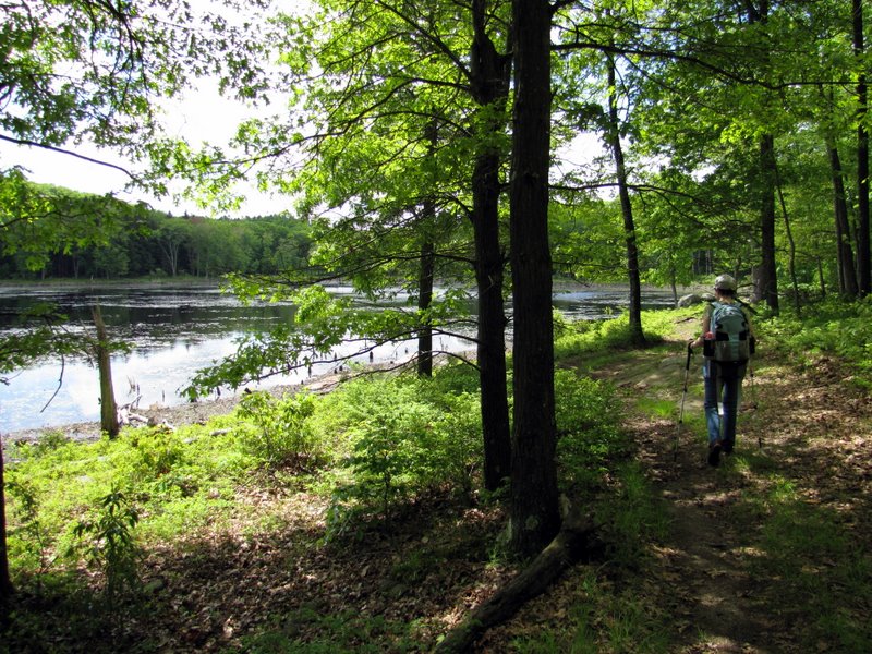
We parked at the end of Timberbrook Road, at a small dirt lot on the western side of the road, opposite the entrance to scout Camp Winnebago. We headed north on the Yellow trail to Timberbrook Pond, continued north on the White trail along the eastern bank. At the northern tip the water was too high to cross Timber Brook to get to the Wharton & Northern Railroad rail trail, so we followed the white-blazed "High Water Walk Around" to get to the rail trail a bit further east by following two woods roads. We then took the rail trail all the way to a woods road at the southern end of Charlotteburg Reservoir, turning right on a woods road and heading easterly along the bank of the reservoir (which you can't really see through the trees), before making a sharp right to continue uphill on yet another woods road, eventually (after taking the right at a fork) ending up at the beautiful Misty Pond. We crossed the dam, walked south along the western bank and found the Blue trail. We made a right here, then a right on the White trail, then a left on another woods road and eventually (after a right at another barely detectable fork) ended up walking back to the car through the gate of Camp Winnebago. It should be noted that none of this description will make any sense without the aforementioned map in front of you. And even with the map, I would only recommend this hike to someone with a strong woods sense. For about a third of this hike I wasn't quite sure if we were on the right path. Amazingly we were, but we didn't know it. Total distance hiked today was 5.8 miles in over 3.5 hours.
|
 Camp Winnebago entrance |
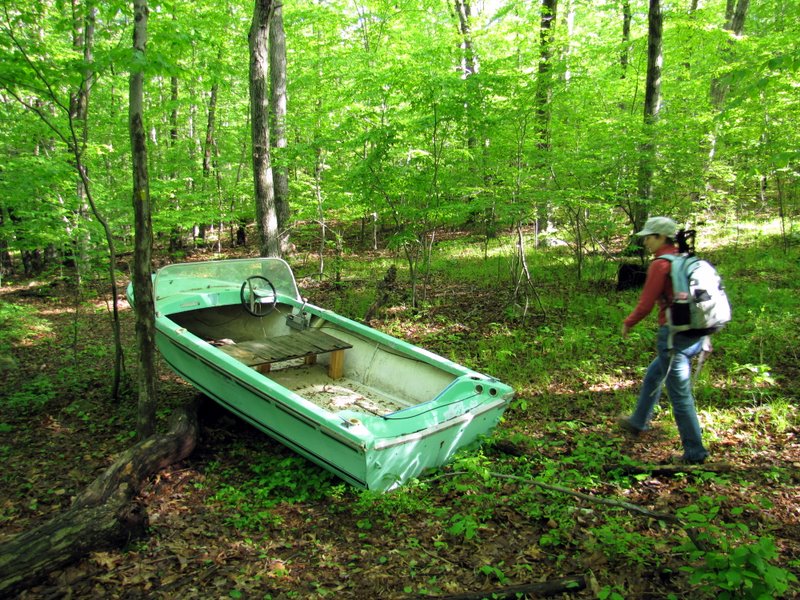 Boat on Yellow trail! |
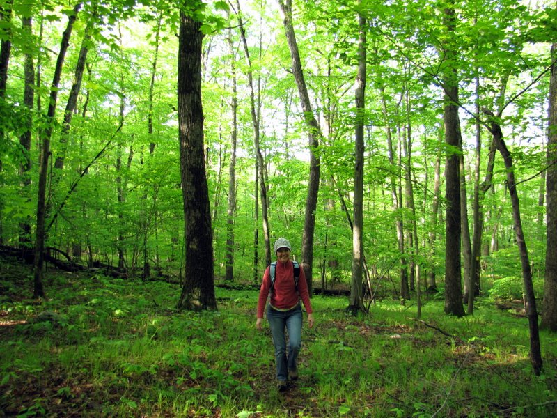
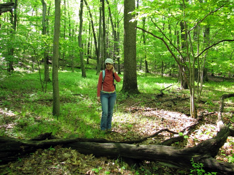
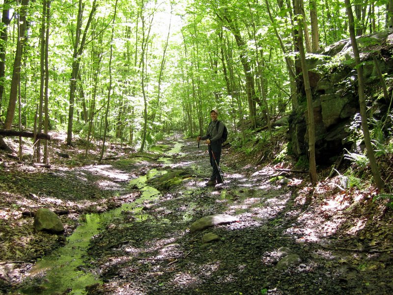
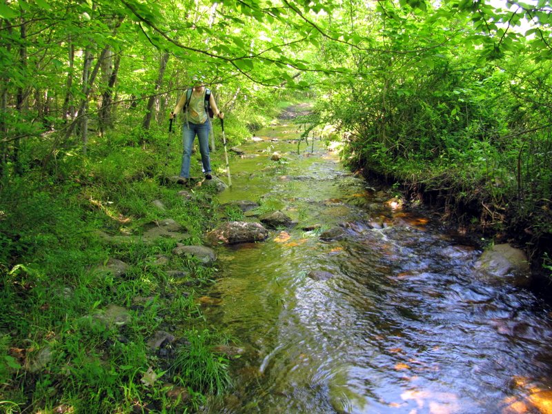
 That's me [photo by Laura] |
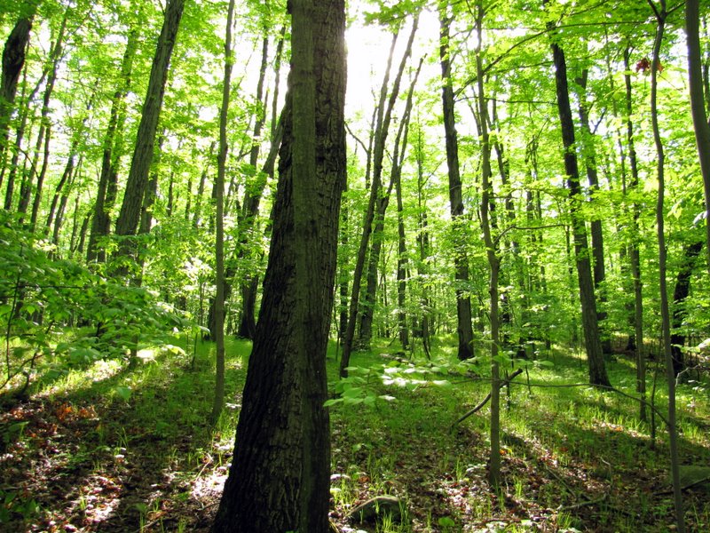
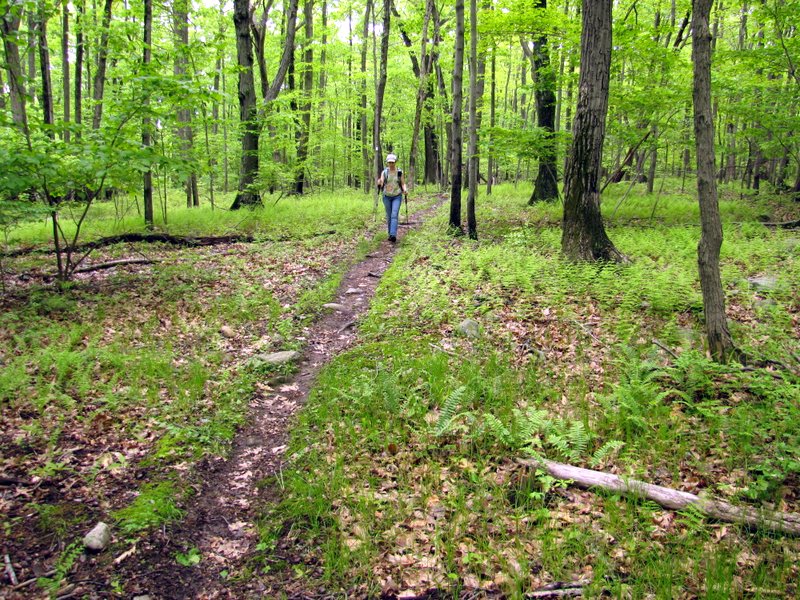
 Everything is so green already! |
 |
 Beautiful ferns line the path |
 |
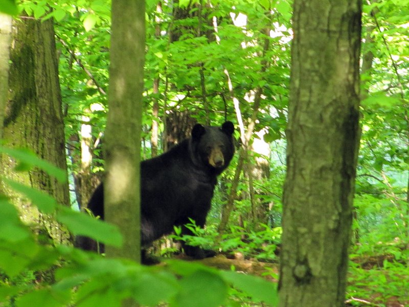 A concerned momma bear! |
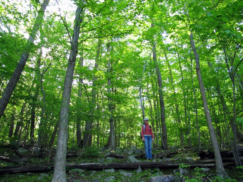
 Beautiful trail heading north |
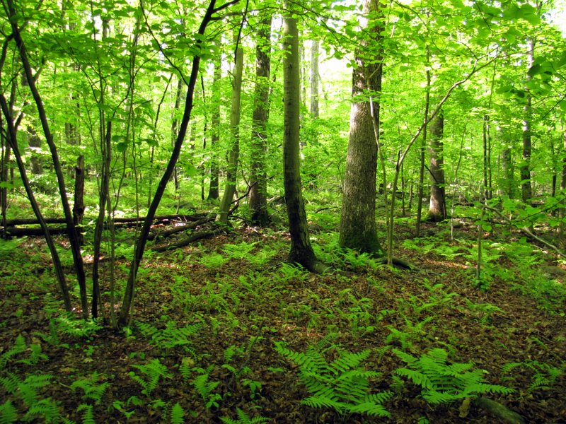
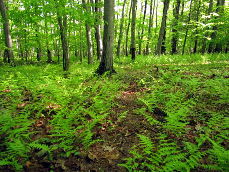 More ferns |
 |
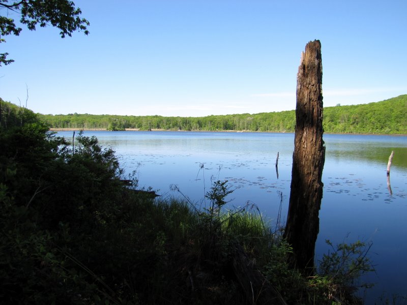
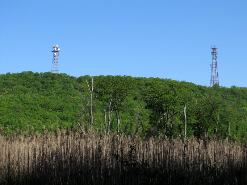 Towers on western side of Timberbrook Pond |
 |
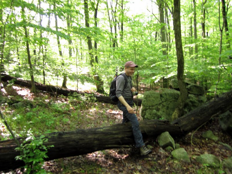
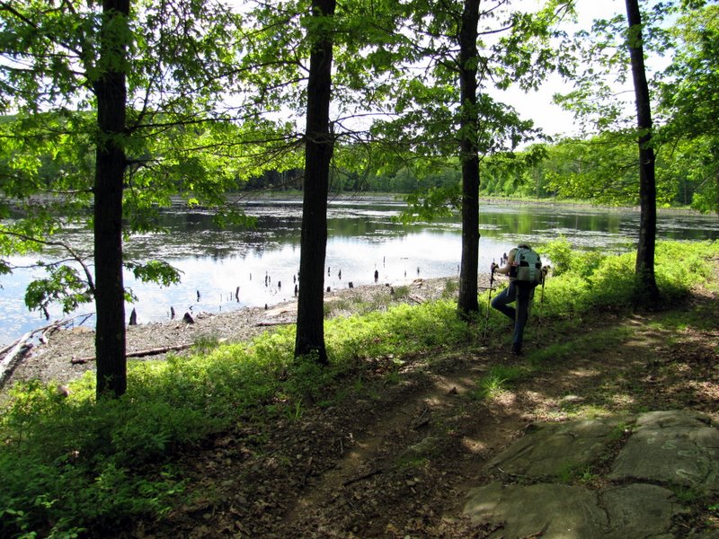
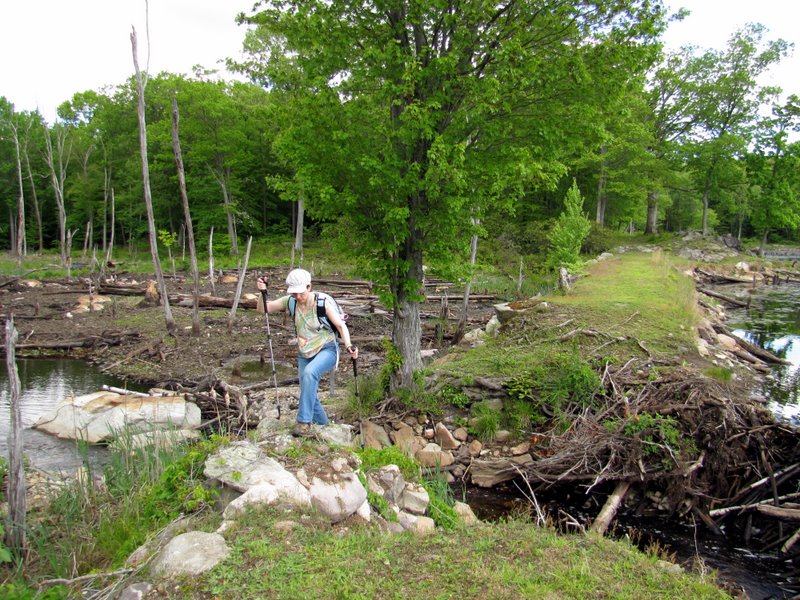
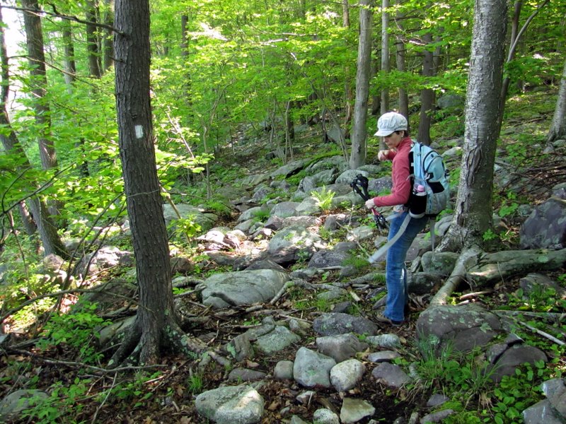 Time to get the trekking poles out |
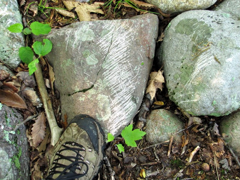 Buck marks |
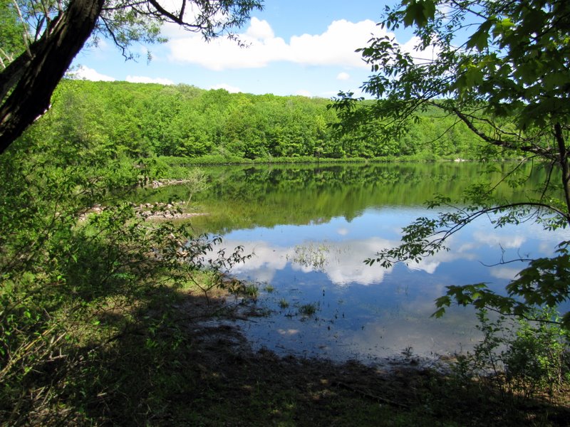
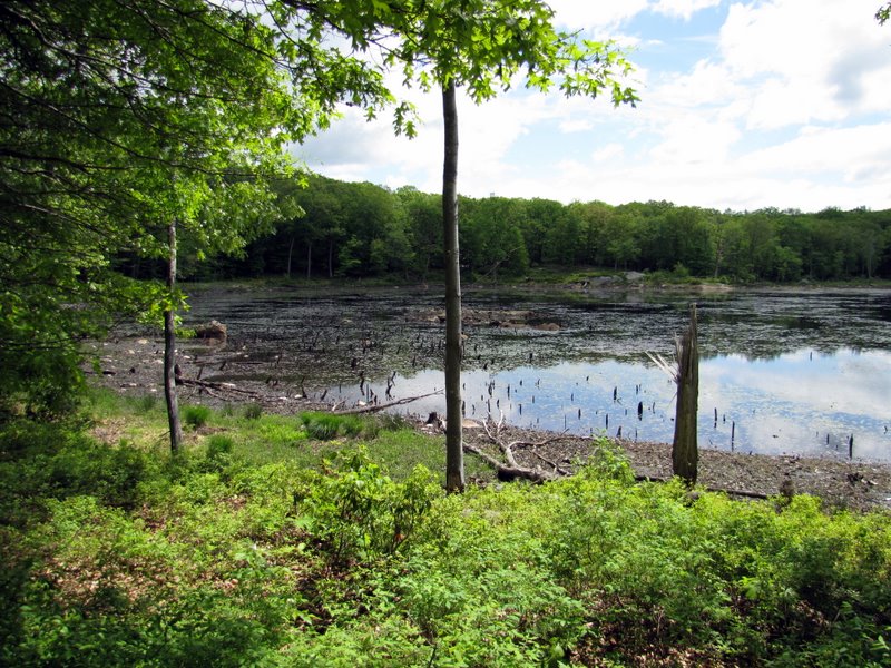
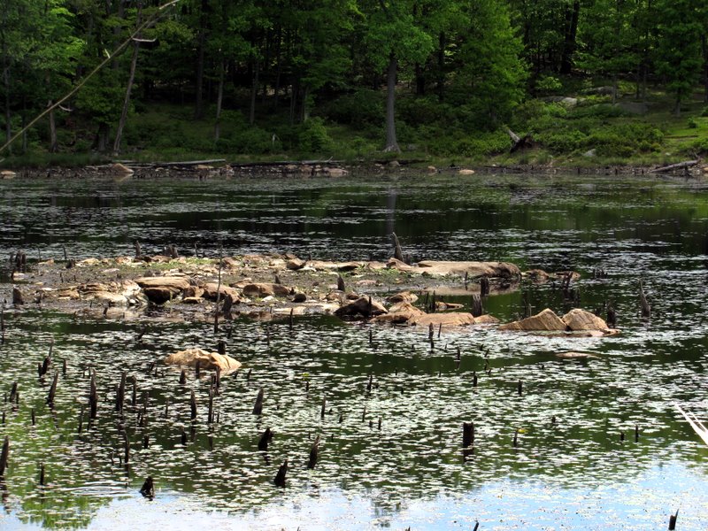
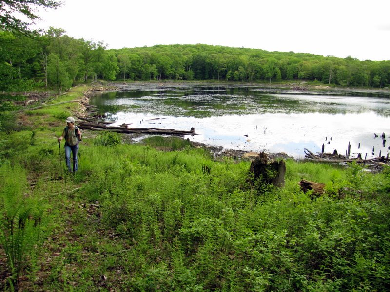
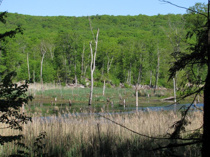 Swampy southern part of Timberbrook Pond |
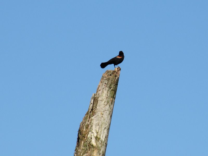 Red-winged black bird |
 |
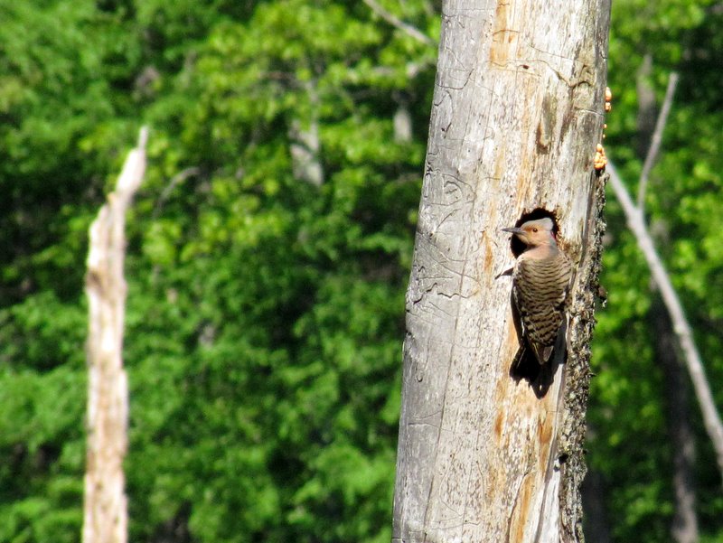 Woodpecker |
 View SW |
 View NW |
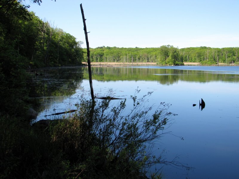
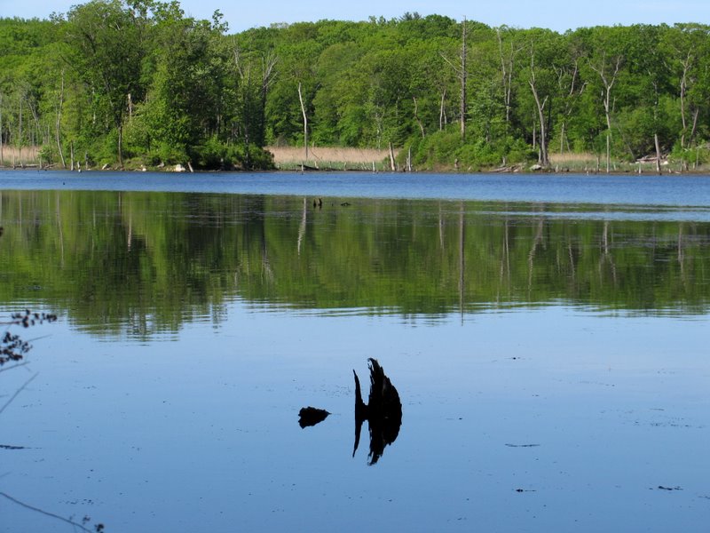
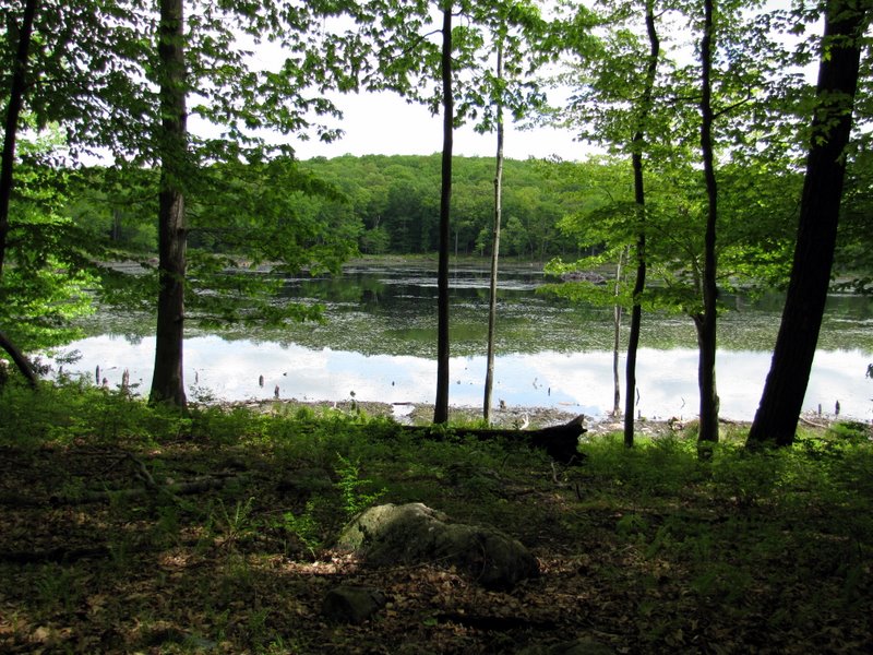
 Beautiful reflections in Timberbrook Pond |
 |
 Houses on the western side |
 |
 |
 |
 The dam at Timberbrook Pond |
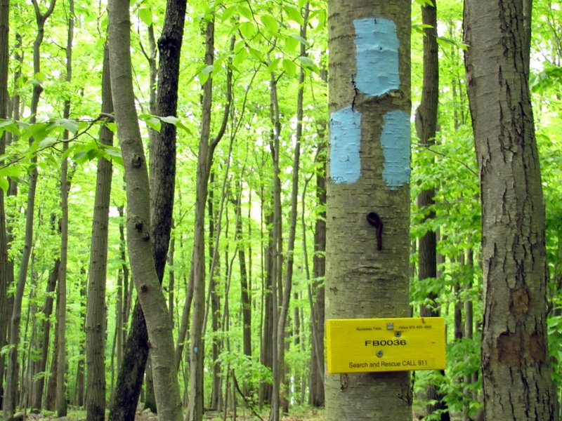
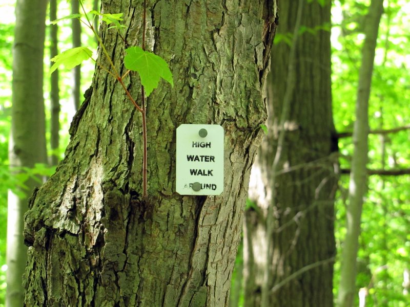 Blaze for the high water trail |
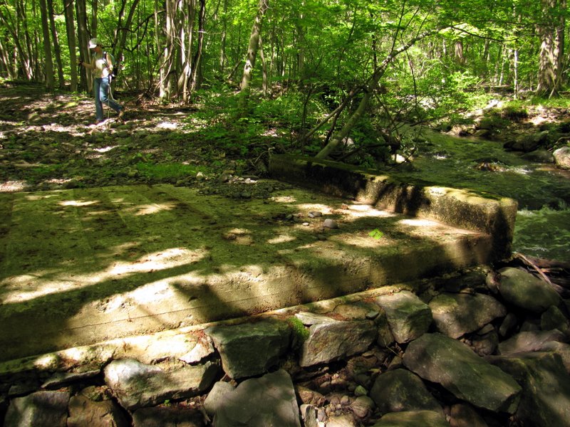
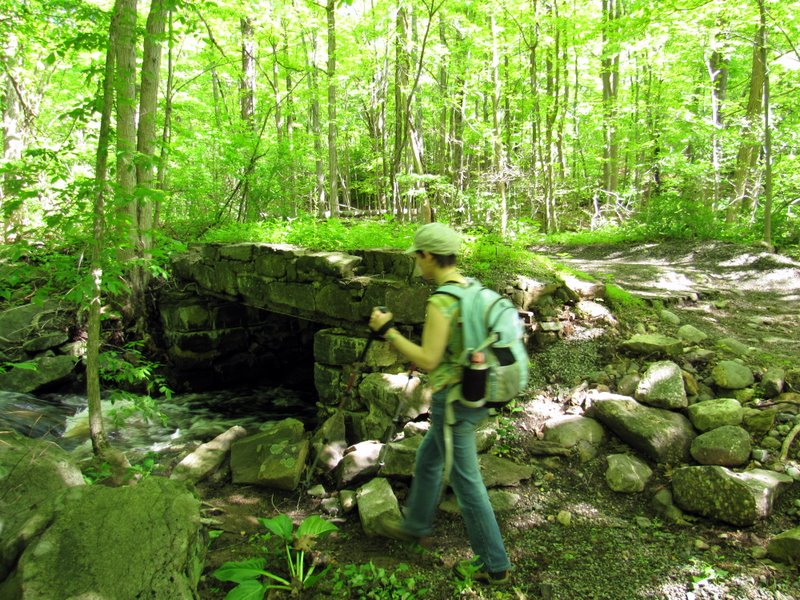 Ruins of RR bridge |
 More ruins |
 Tie nails |
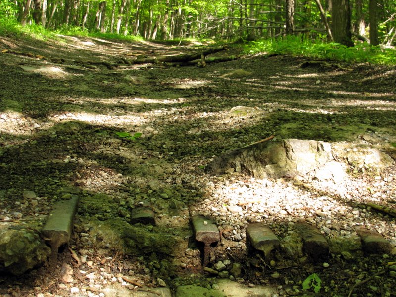 Rails still in place |
 Bridge ruins |
 |
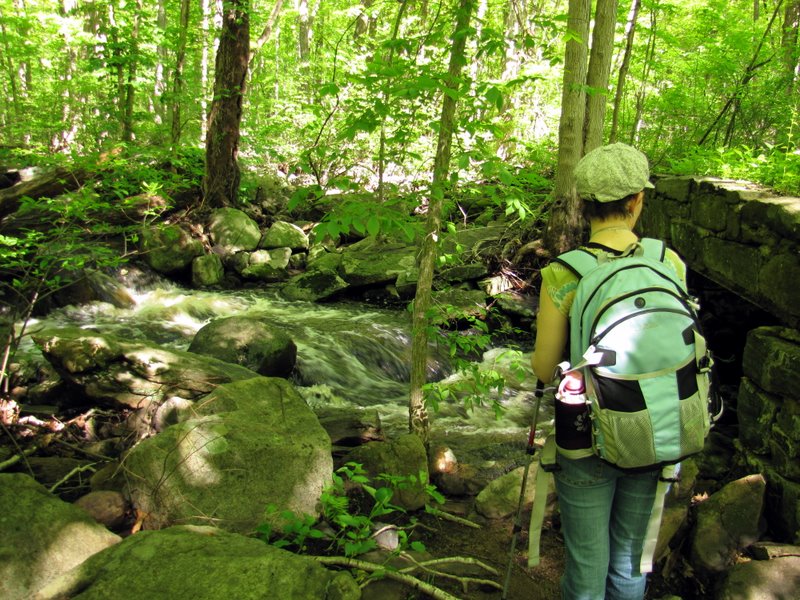
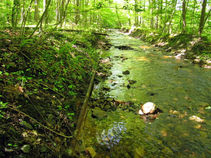
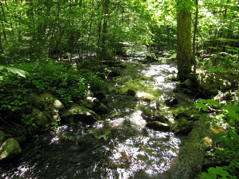 Roaring Timber Brook |
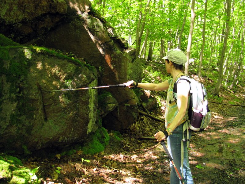
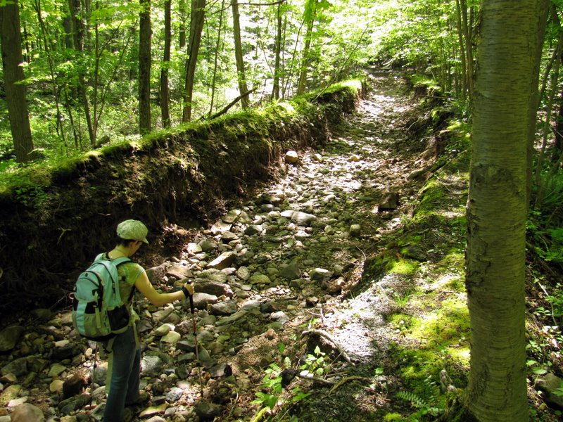 Laura in ... |
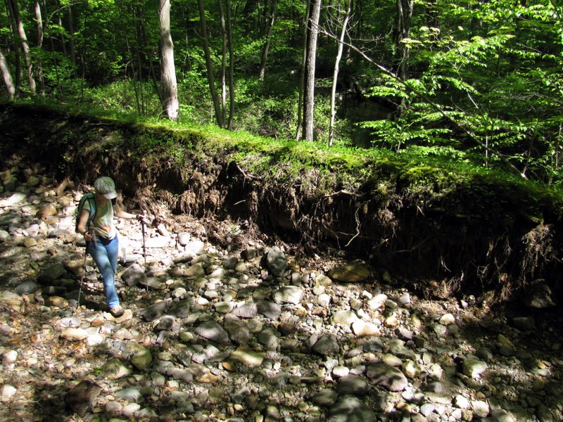 ... the eroded RR bed |
 [Photo by Laura] |
 Drill mark |
 The RR bed was wet here |
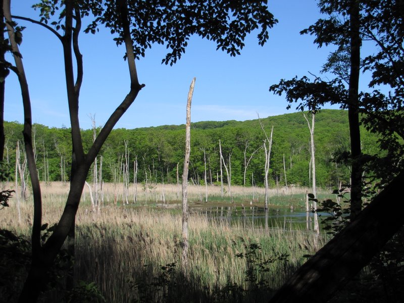
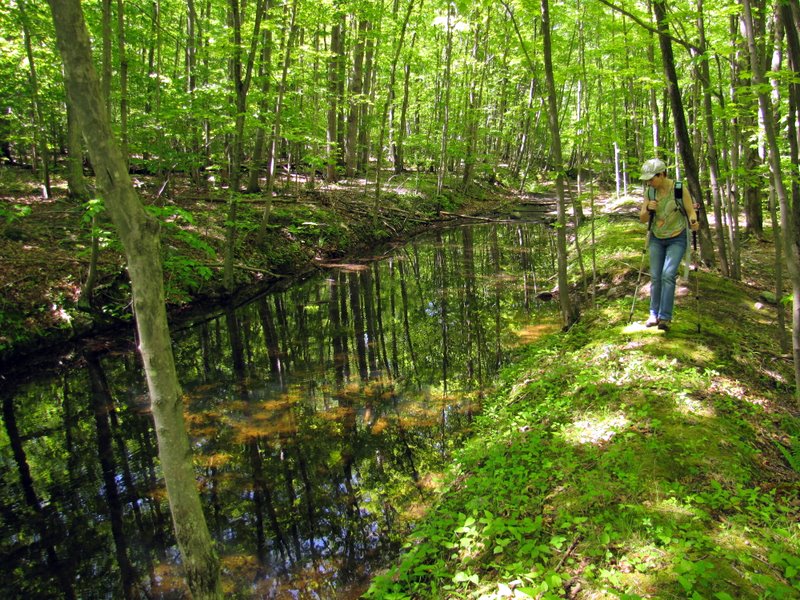
 Swamp north of rail trail |
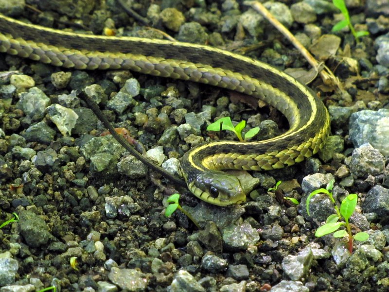 Garter snake on trail |
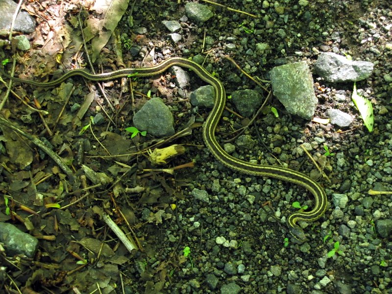 Complete view |
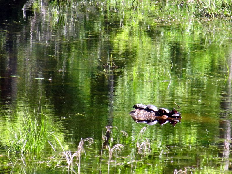 Turtles sunning in swamp |
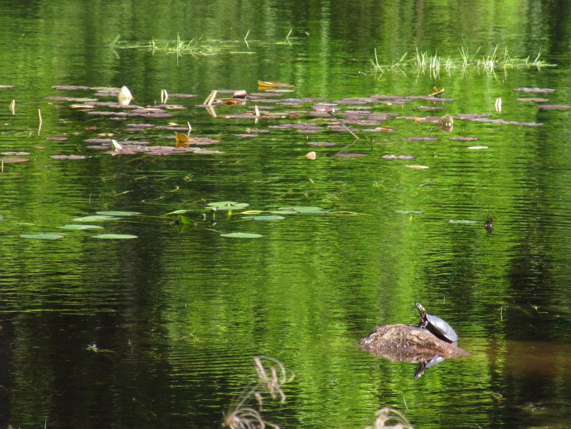 Turtle in swamp |
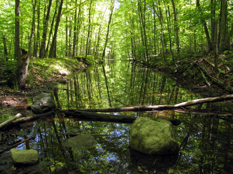
 Dark red tannin color in standing water |
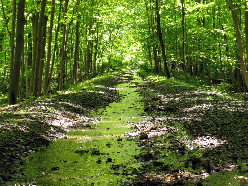
 The rail trail was flooded in many parts |
 Part of rail still in place |
 Yes, that's the rail trail after heavy rains |
 Frog in flooded trail |
 We walked along the edges |
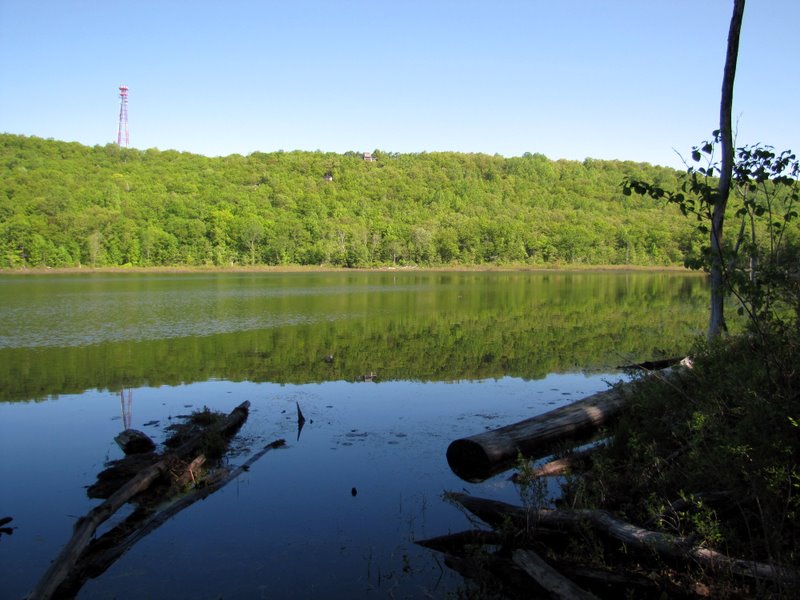
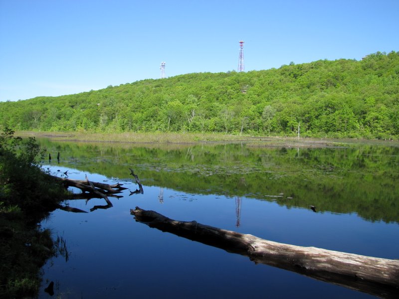
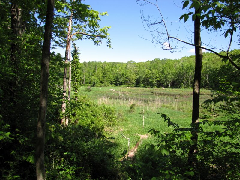
 Gorgeous views ... |
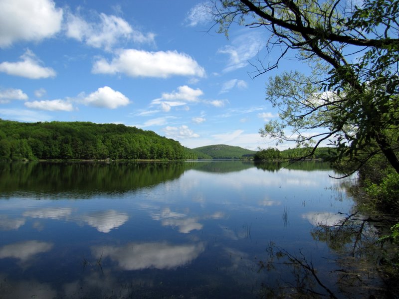 ... of Charlotteburg Reservoir ... |
 ... from the ... |
 ... southern tip |
 |
 |
 A very muddy woods road |
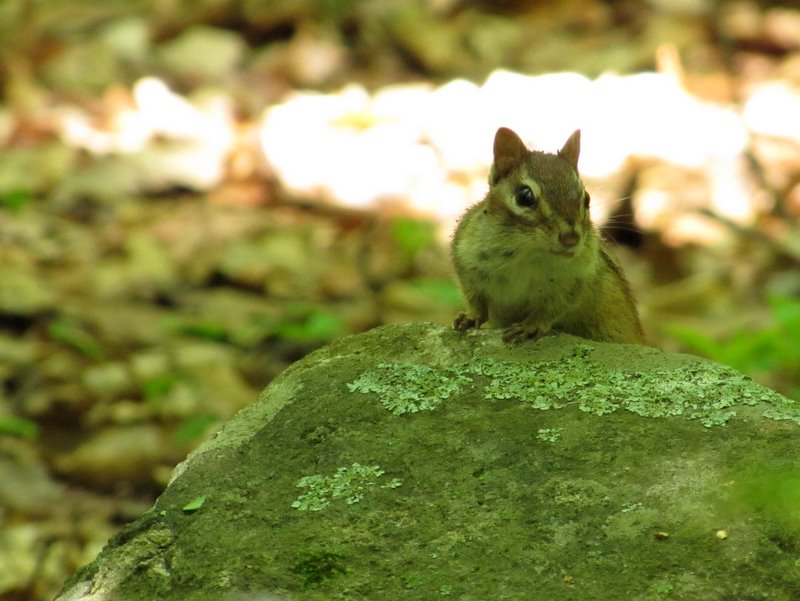 Curious chipmunk |
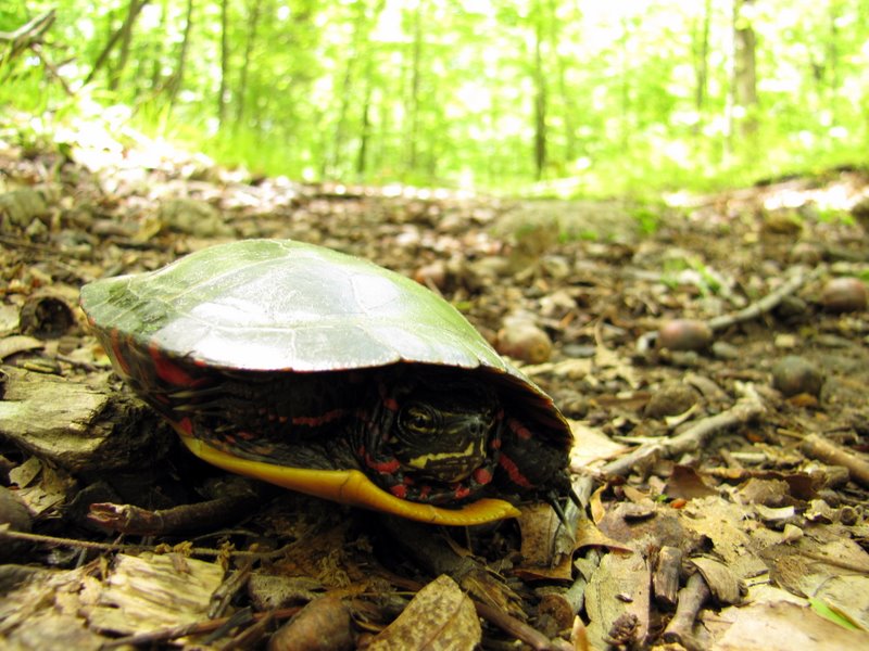 Turtle on trail |
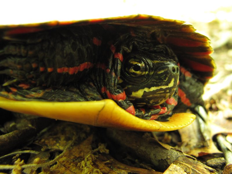 Close-up of turtle |
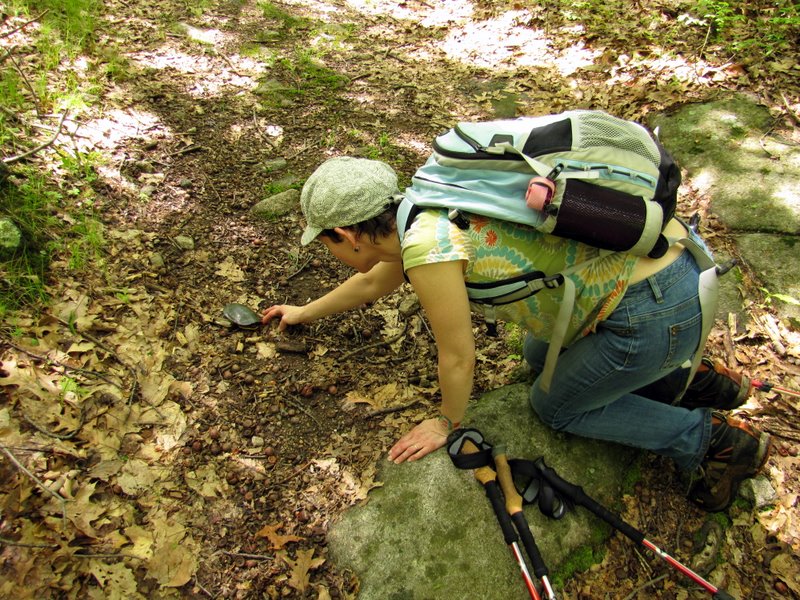 Laura and the turtle |
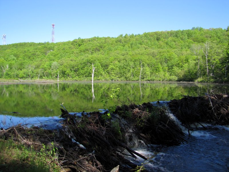
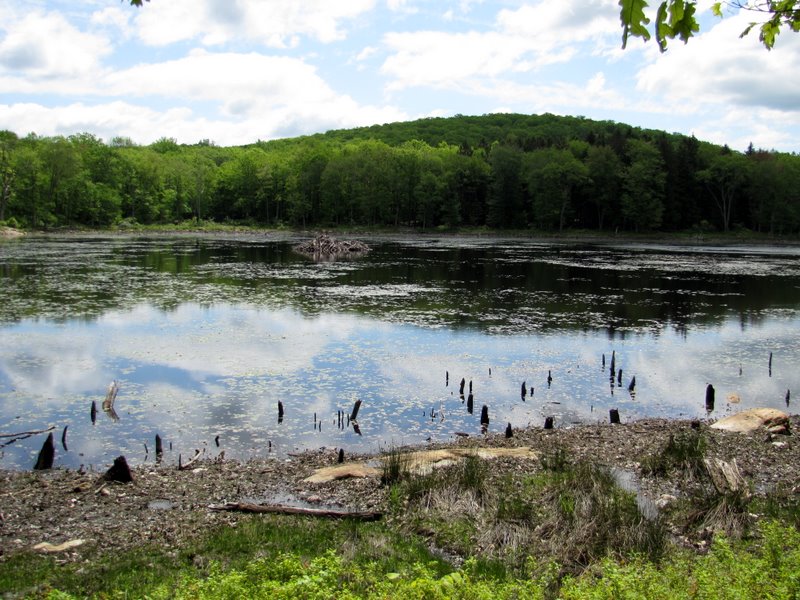
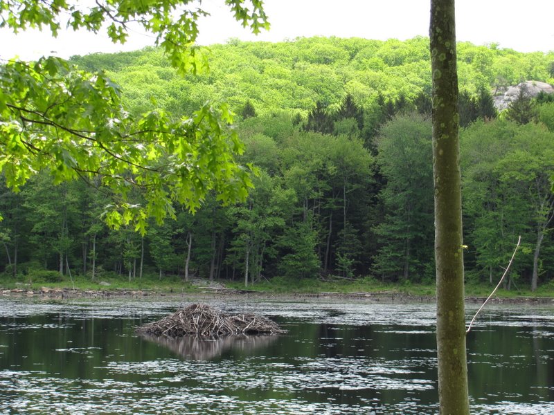 Beaver lodge in Misty Pond |
 Woods road along Misty Pond |
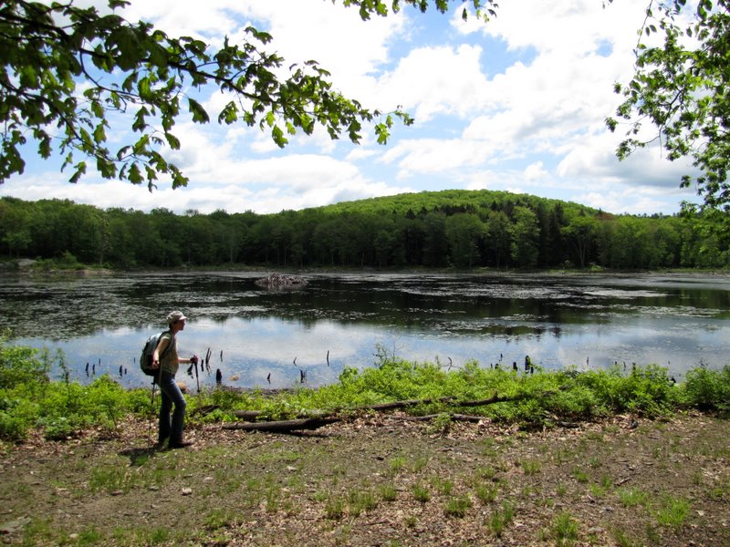
 View from the western bank |
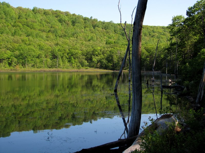
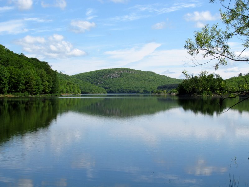
 Misty Pond |
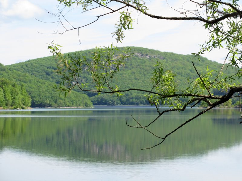
 View south |
 View east |
 It's a small pond |
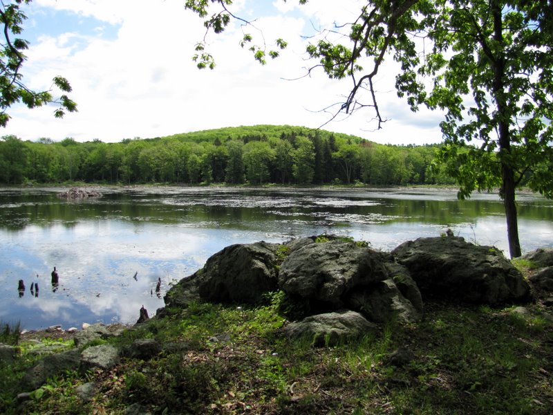 But it's gorgeous |
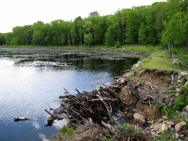 Dam of Misty Pond |
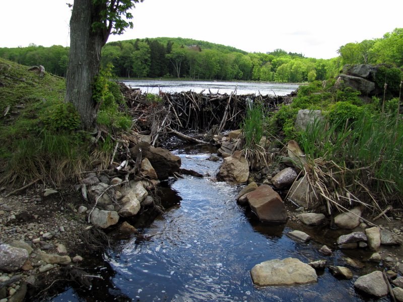 Behind the dam |
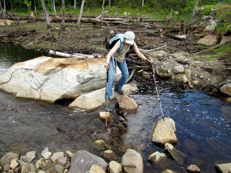 Crossing behind the dam |
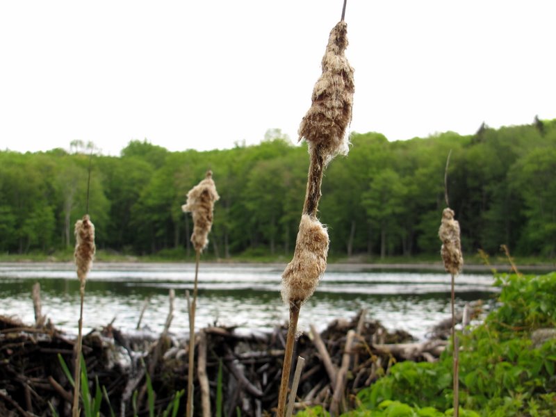 Wet puffy cattails |
 Crossing the dam |
 Misty Pond from southern tip |
 |
 |
 End of Blue trail |
 On a woods road |
 Collapsed building on woods road |
 Gate to woods road near Camp Winnebago |
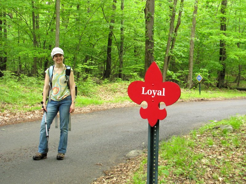 Laura at one of the camp signs |

|
|
Photographs and content copyright © Dan Balogh Web design by Dan Balogh |