 |
|
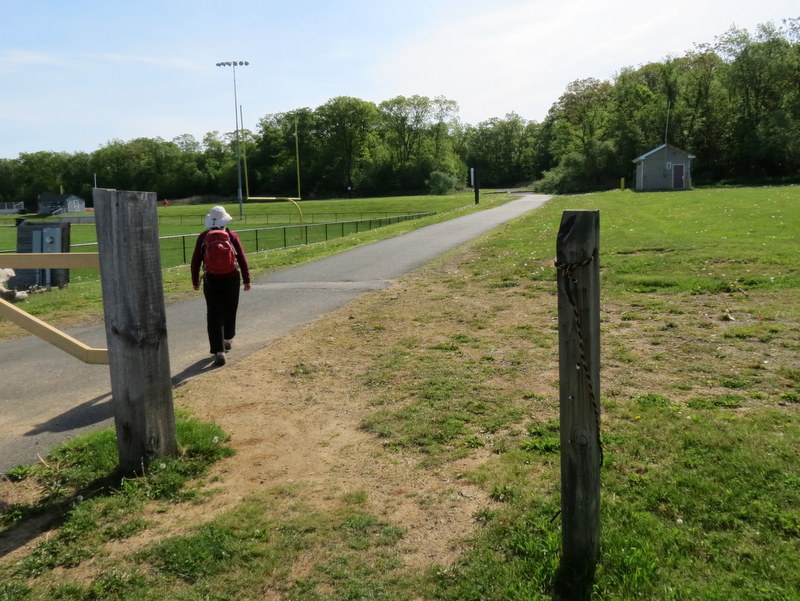
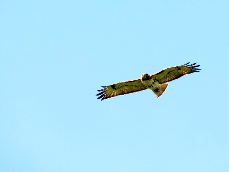
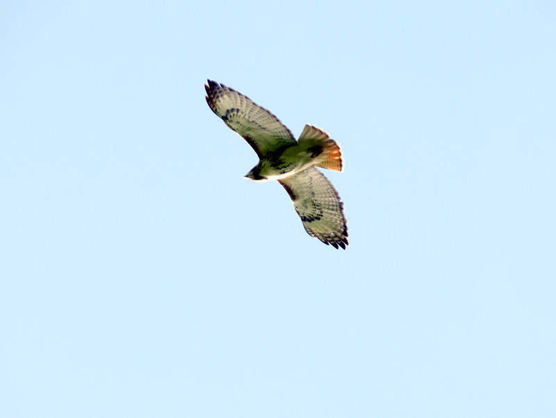
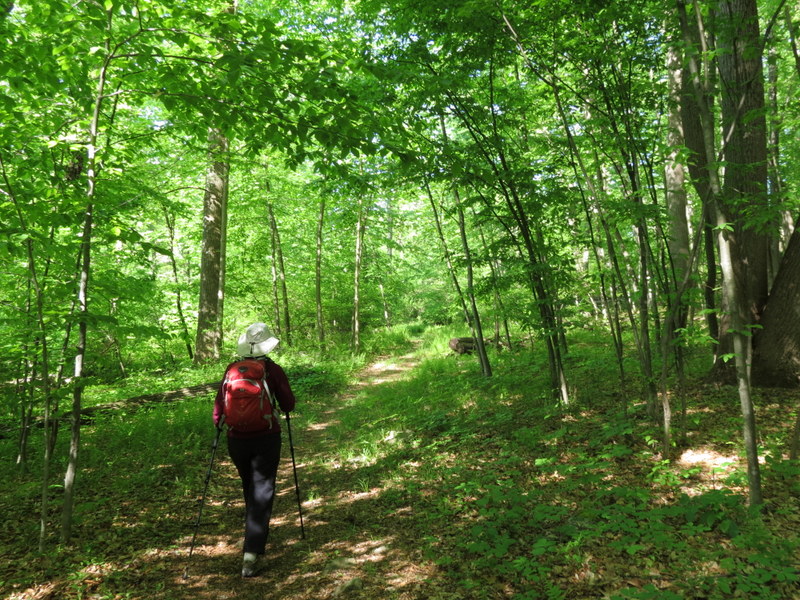
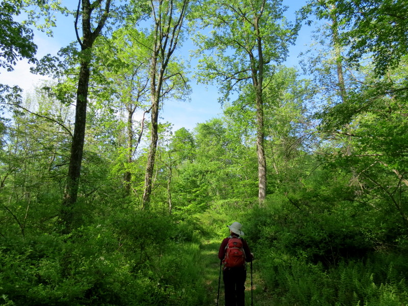
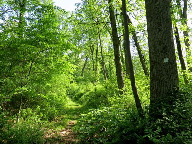
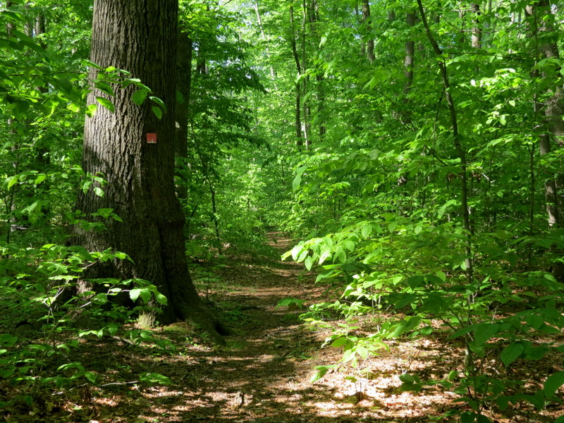
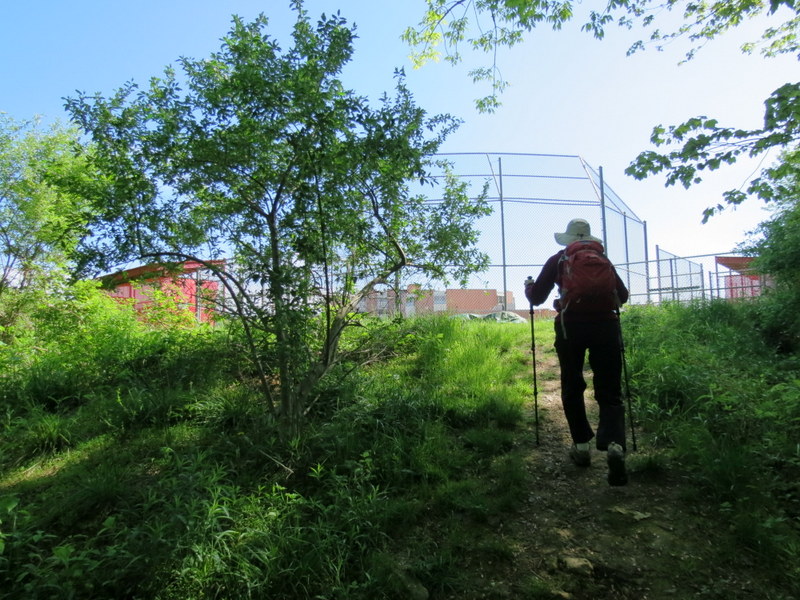
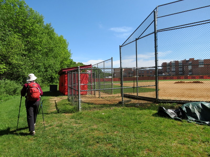
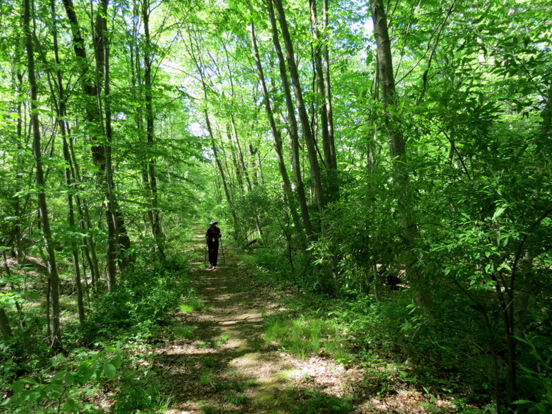
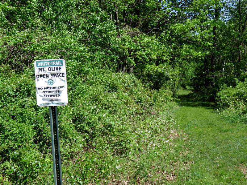
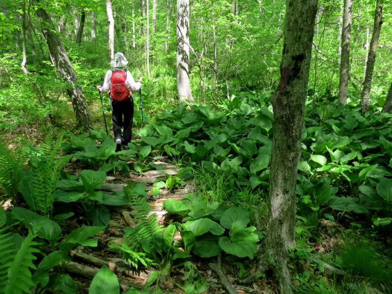
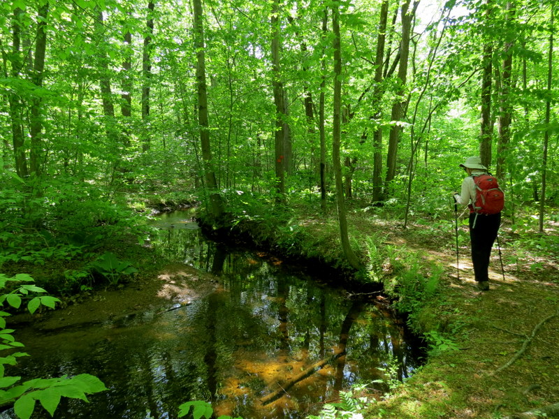
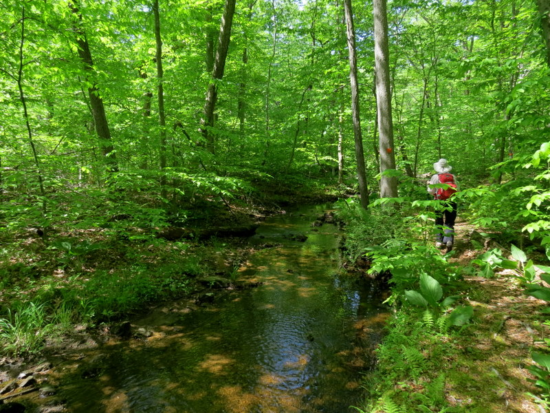
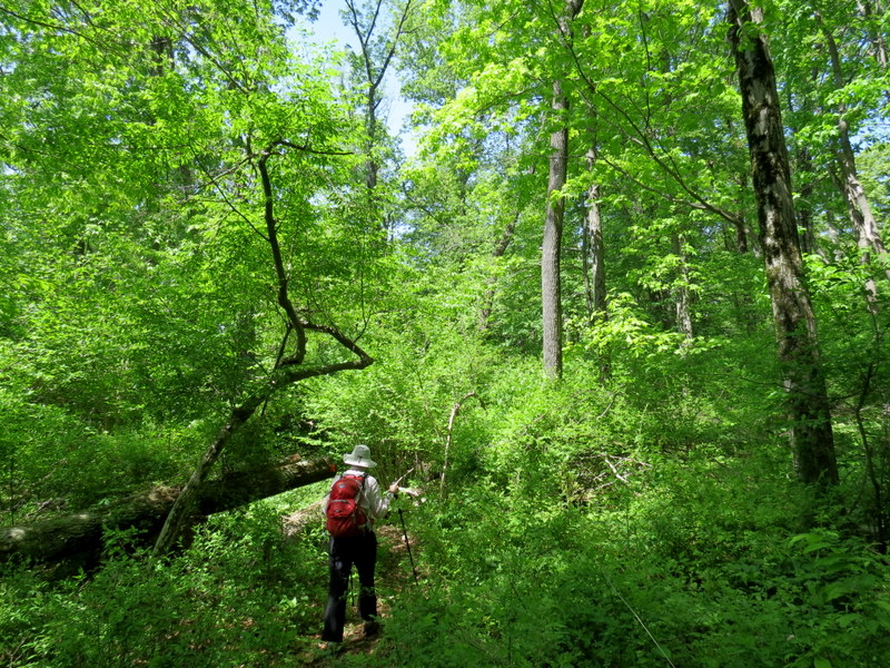
Today we hiked a park in the western section of Morris County called Turkey Brook Park. It's one of the largest, busiest, most built-up parks I have ever seen! But don't
let that fool you. There are some nice, quite remote trails in this park, just east and south of most of the action.
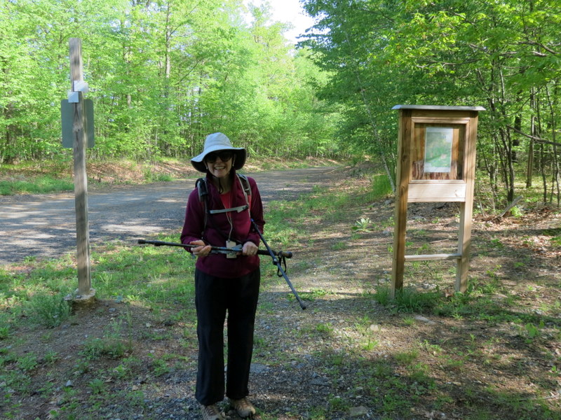
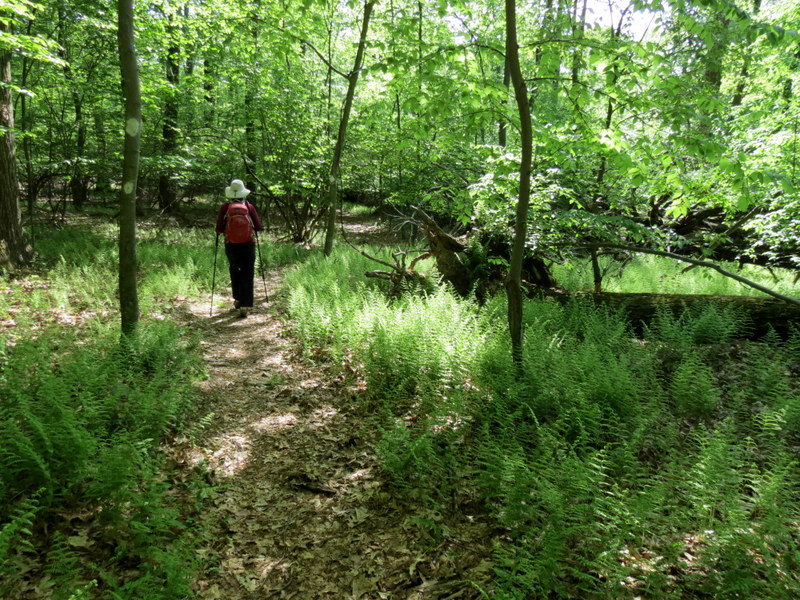
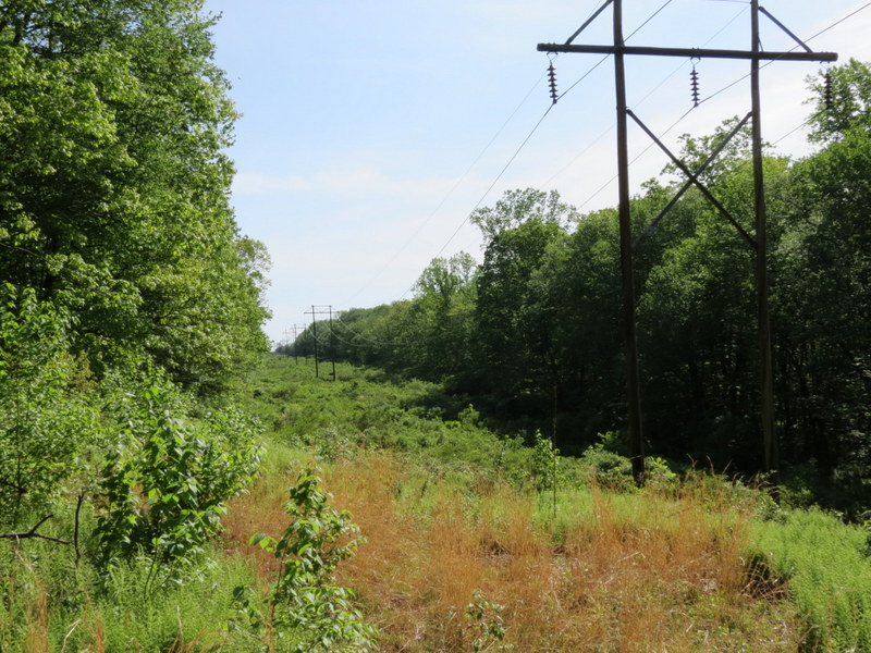
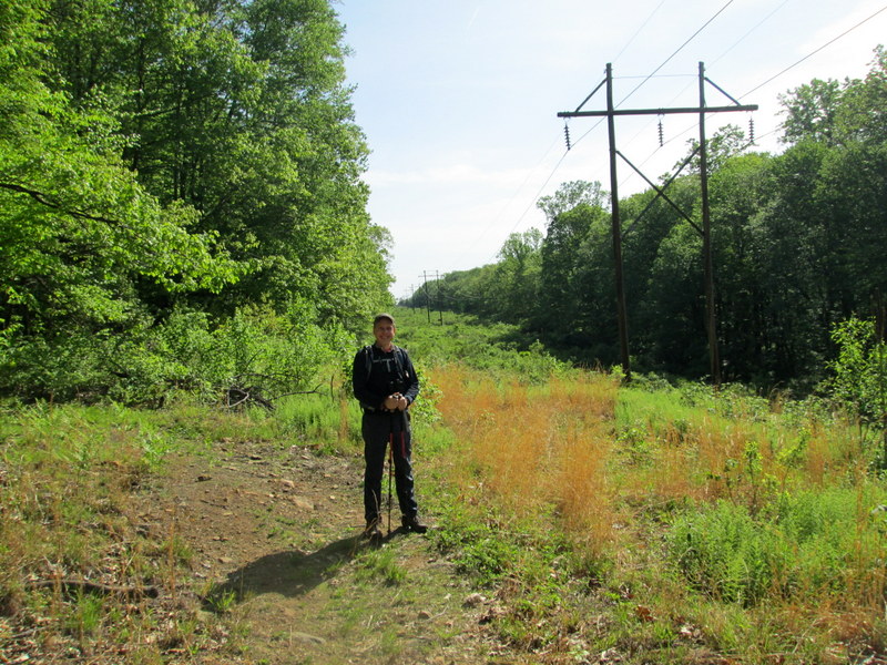
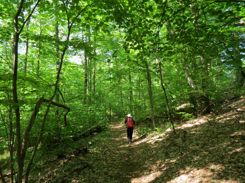
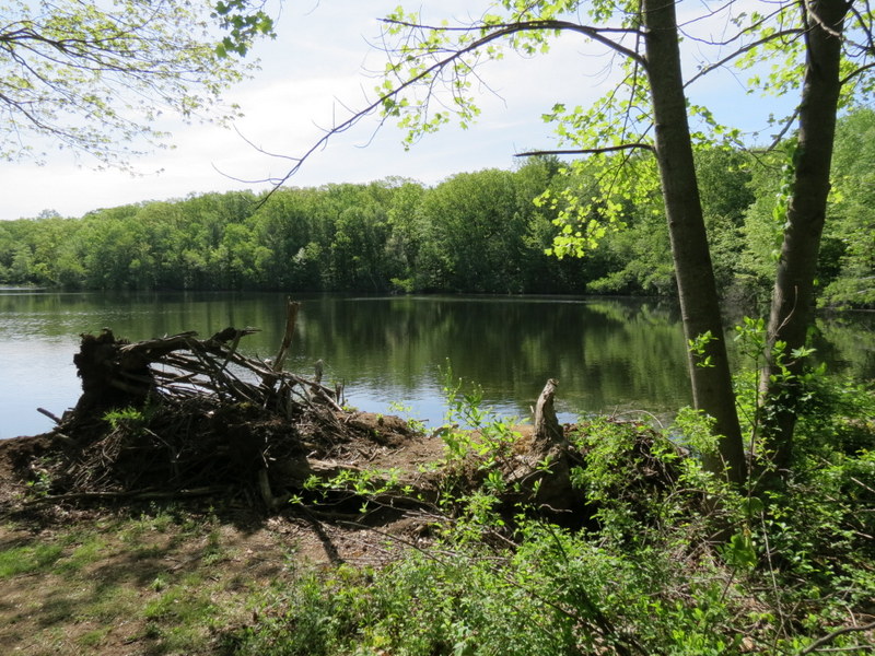
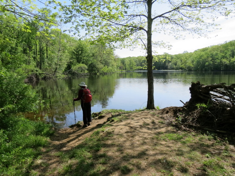
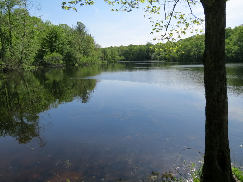
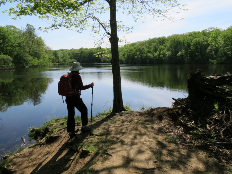
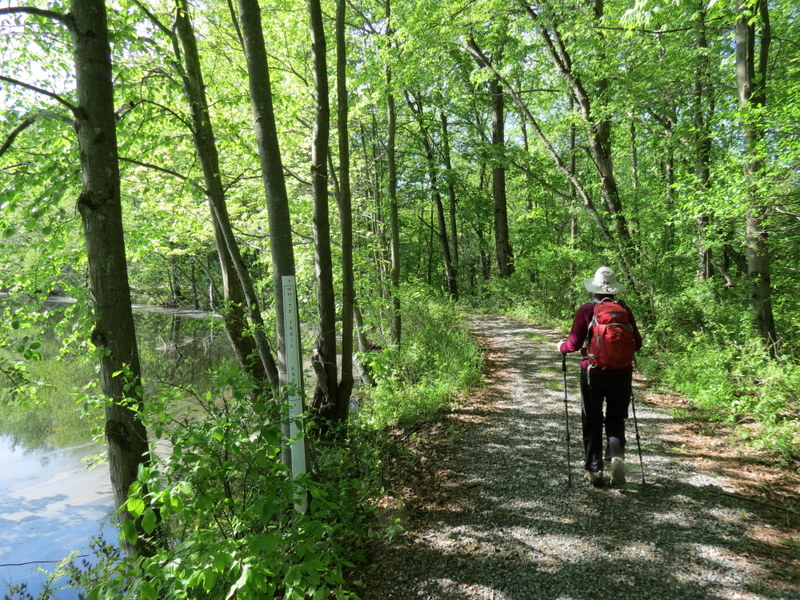
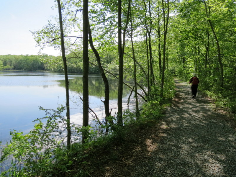
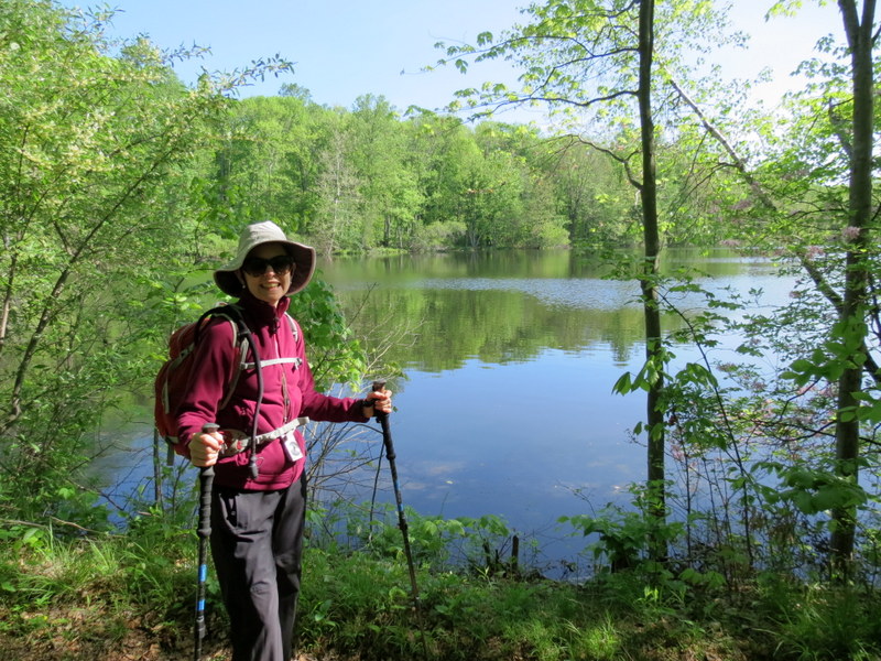
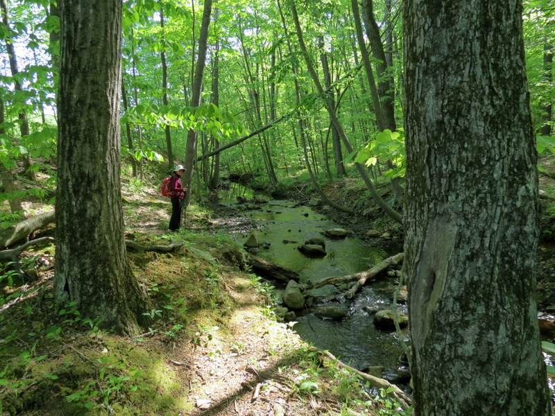
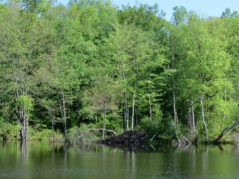
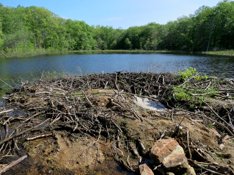
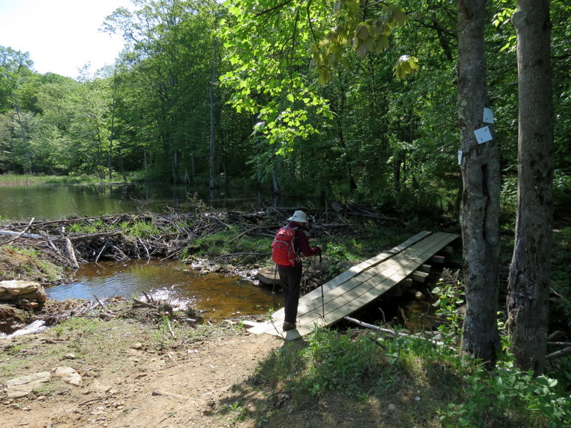
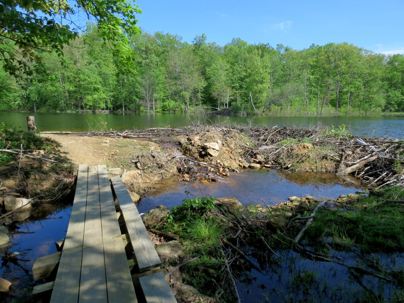
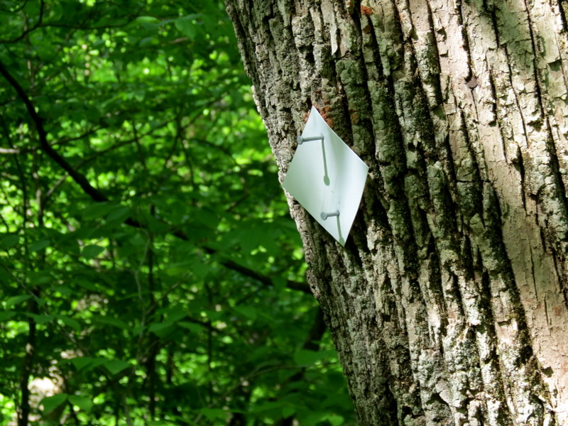
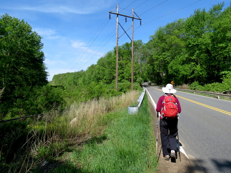
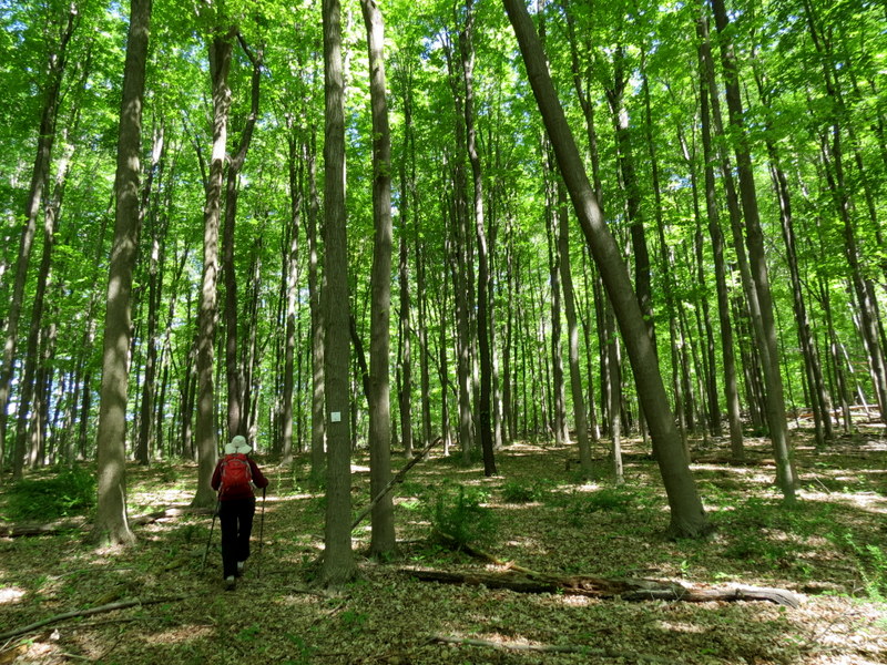
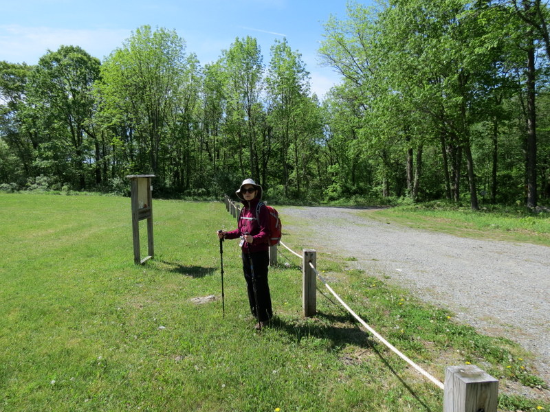
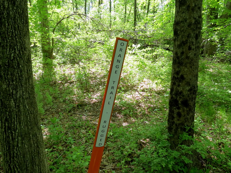
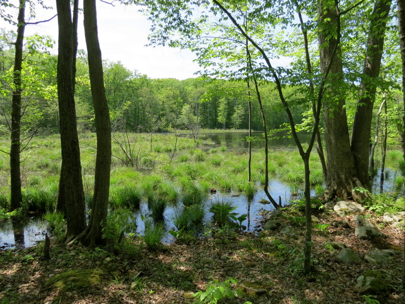
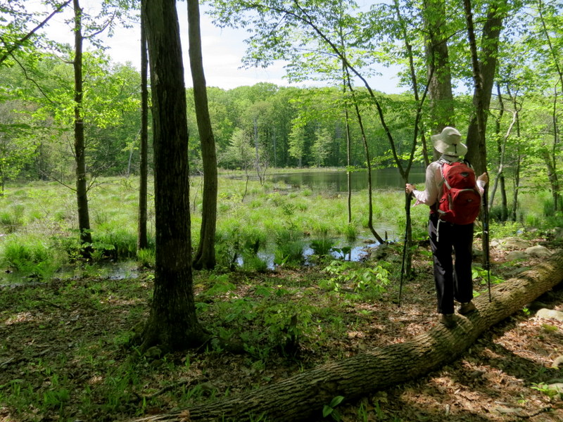
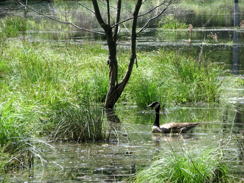
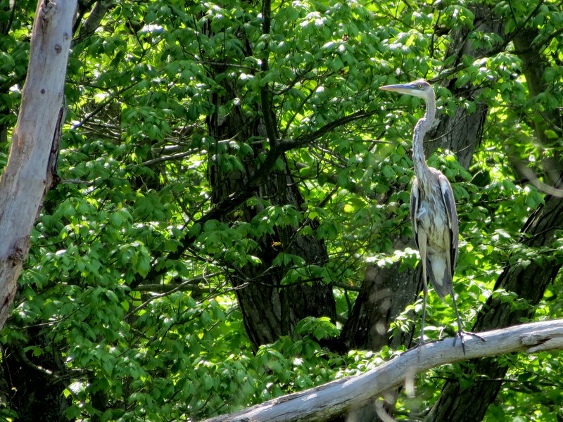
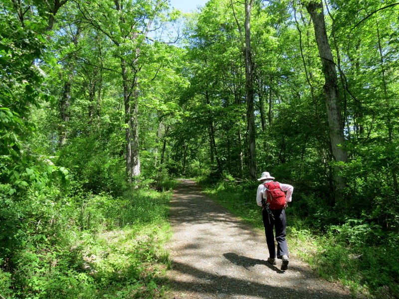
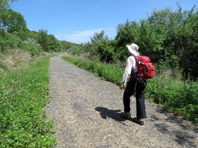
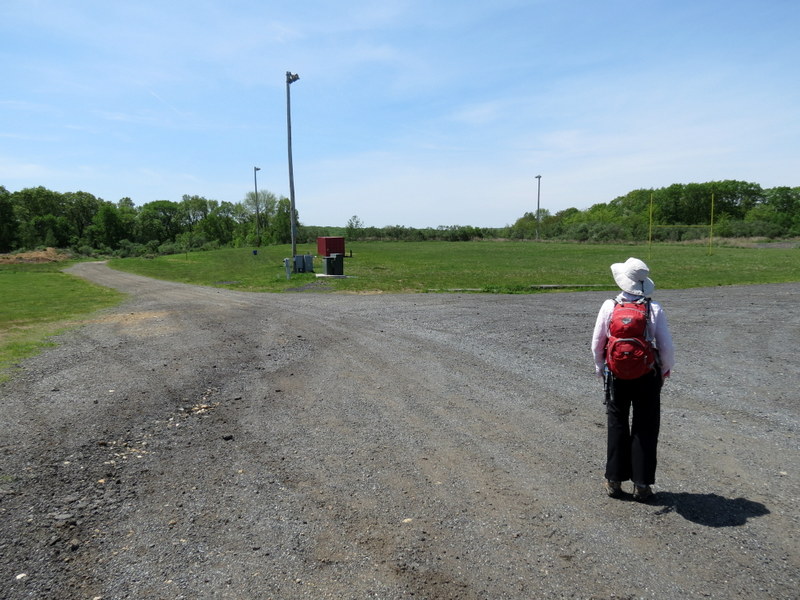
Using this map, we parked at the southern end of the loop road (which goes one way in the counter clockwise direction) and headed east along a gravel road before reaching the trail head for the White trail, which we took south. Skirting the bank of Maiers Pond we continued east, then north along the edge of Mount Olive High School, continuing for a very small patch west along Flanders Road before entering the forest north and climbing to an open grassy area where the White trail touches Flanders Road once again. There is a large, gravel parking area here, not specified on the map, for some reason. At this point we turned back and retraced our steps on White back to where Orange begins. The map shows Orange beginning near the parking lot of Mount Olive High School but it actually begins further north, close to where White continues along Flanders Road. We took Orange west back to White but then took the non-blazed gravel road (shown as Blue on the map) back to the car. Total distance walked was 4.7 miles in about 2 hours and 40 minutes.
|
 |
 |
 |
 |
 |
 |
 |
 |
 |
 |
 |
 |
 |
 |
 |
 |
 |
 |
 |
 |
 |
 |
 |
 |
 |
 |
 |
 |
 |
 |
 |
 |
 |
 |
 |
 |
 |
 |
 |
 |
 |
 |
 |
 |
 |
 |
 |
 |
 |
 |
 |
 |
 |
 |
 |
 |
 |
 |
 |
 |
 |
 |
 |
 |

|
|
Photographs and content copyright © Dan Balogh Web design by Dan Balogh |