 |
|
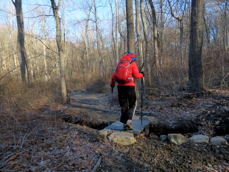
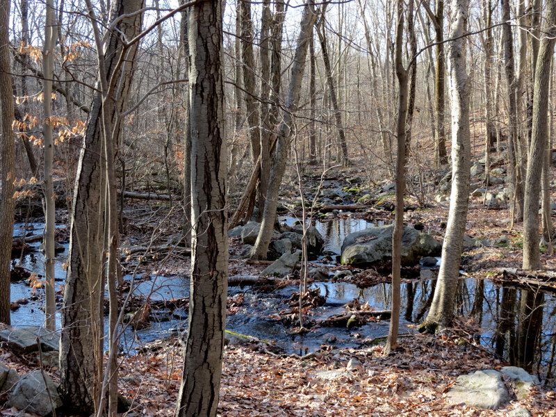
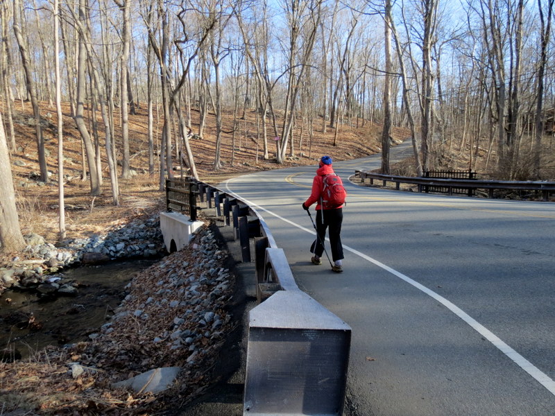
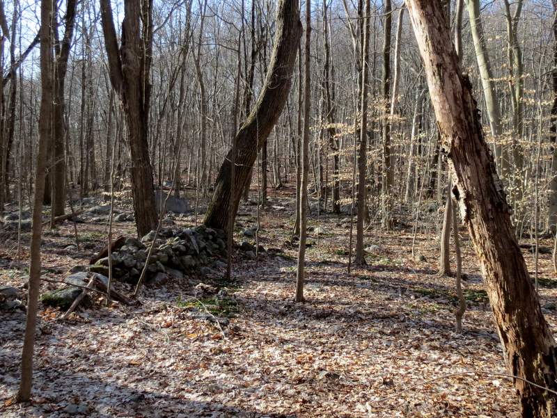
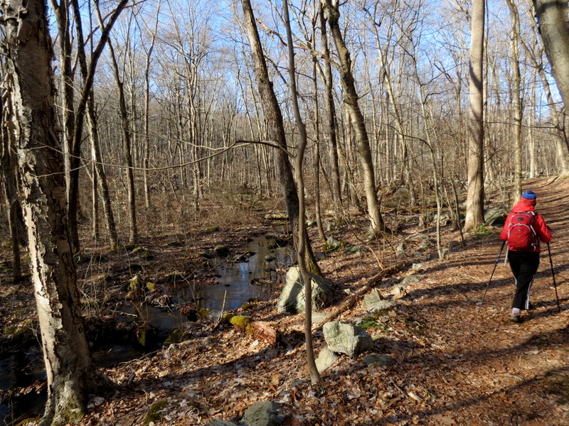
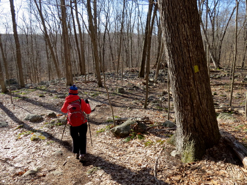
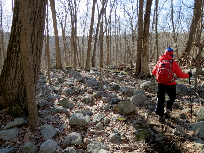
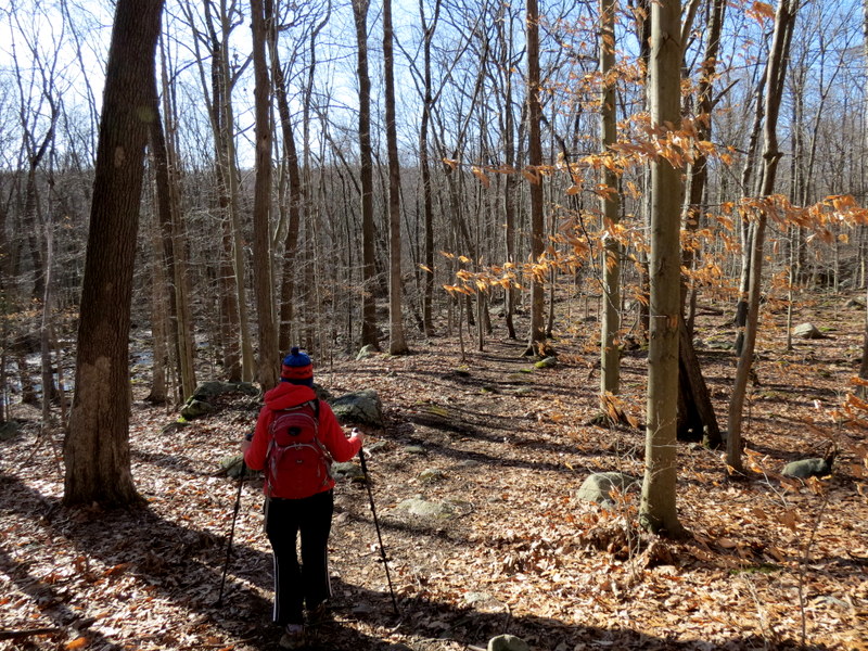
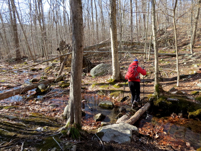
We have hiked Turkey Mountain at least three times in the past, but never the section furthest northeast. This is because that section had been relatively far from the closest
parking area, that at the Visitor's Center on Boonton Avenue. But all of the trails in the park were reblazed this past week, and while I was perusing the new map, which can
be seen here, I noticed a parking area on Stoneybrook Road just east of that NE
area. So we headed there this morning.
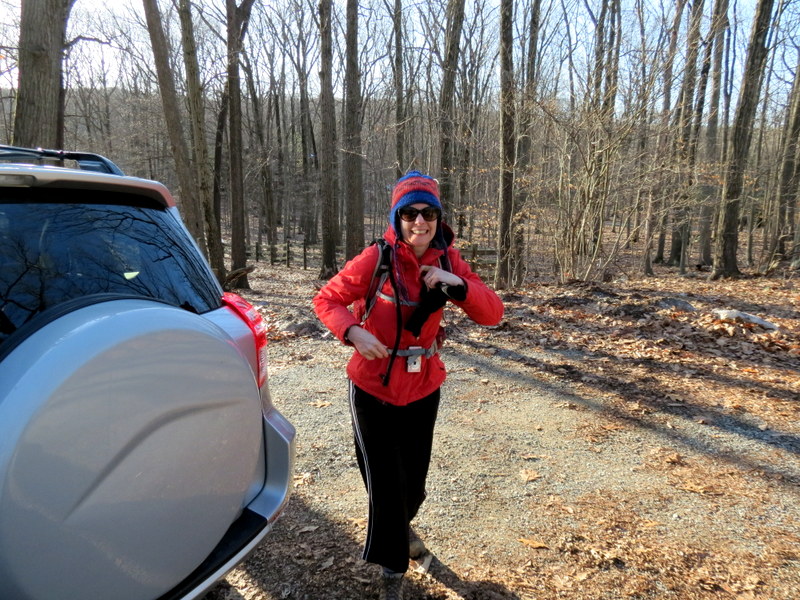
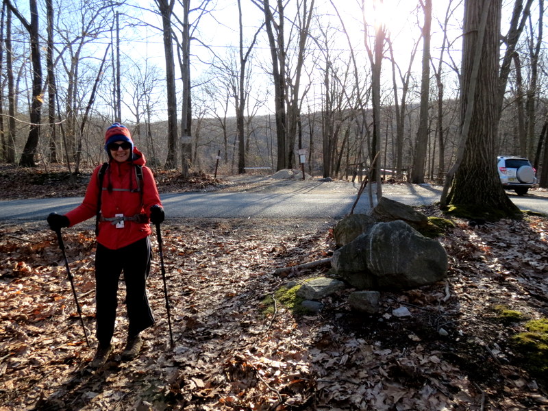
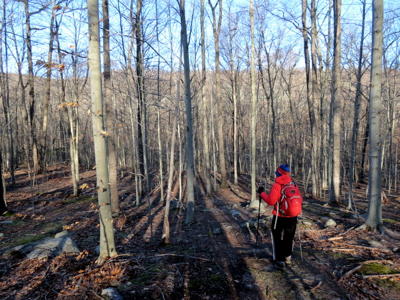
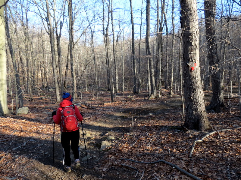
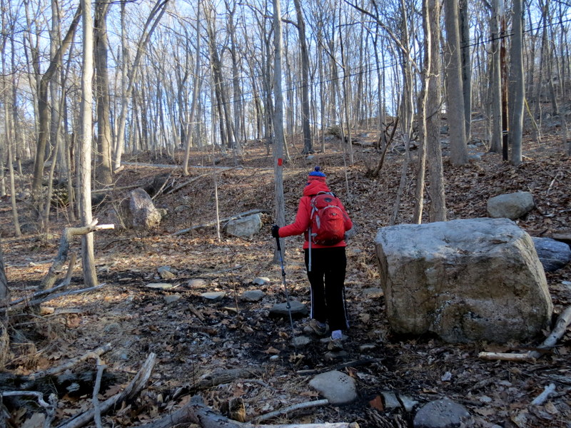
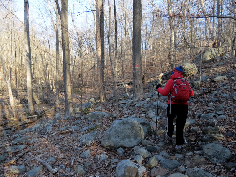
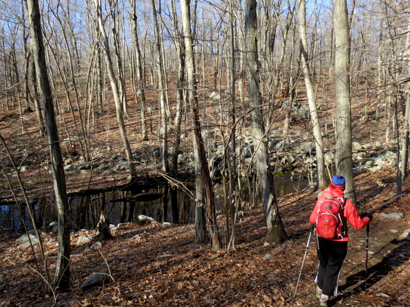
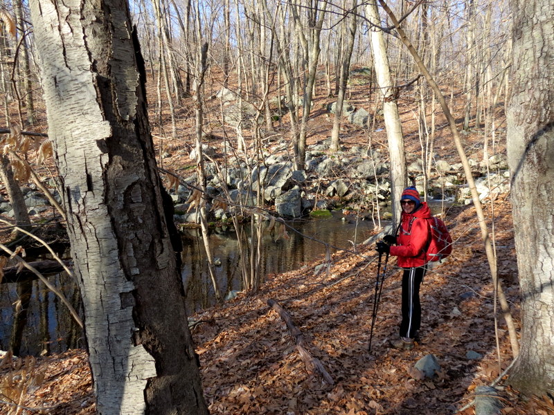
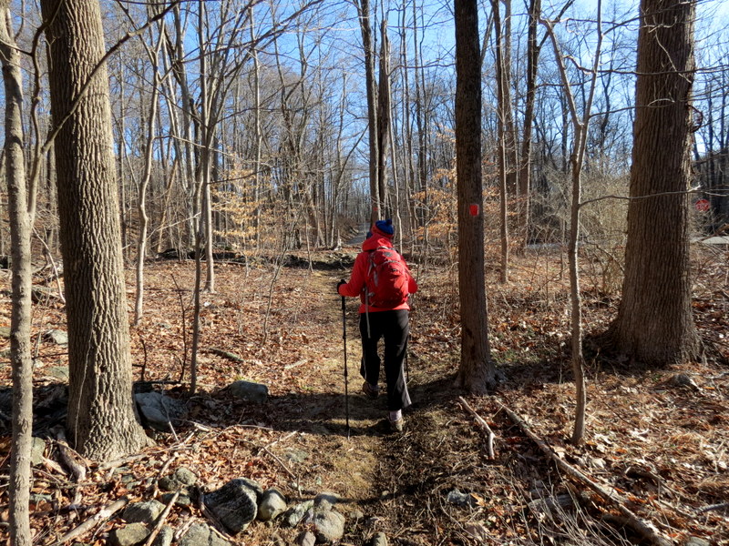
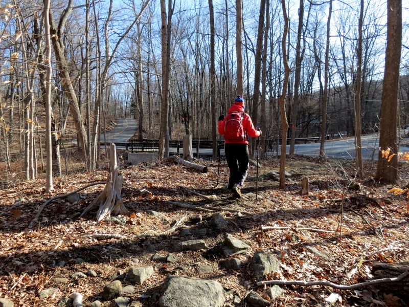
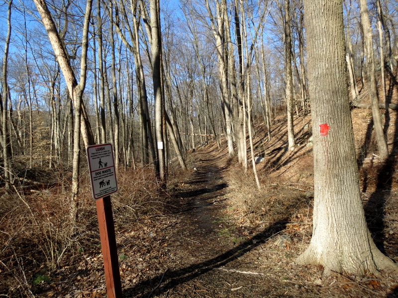
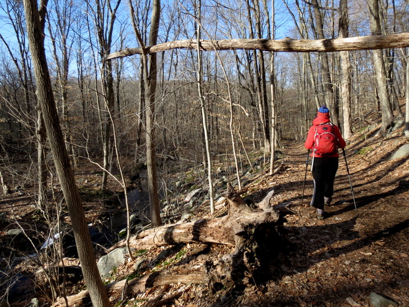
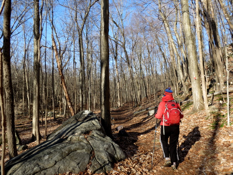
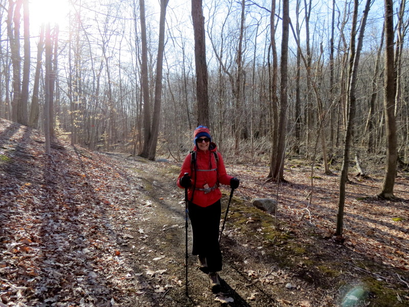
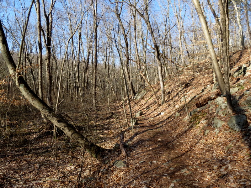
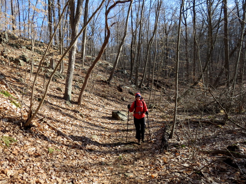
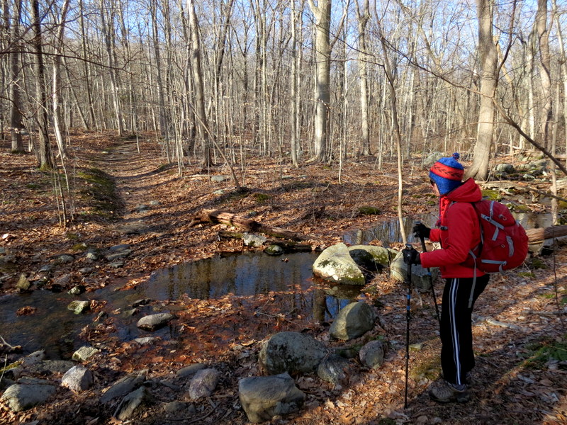
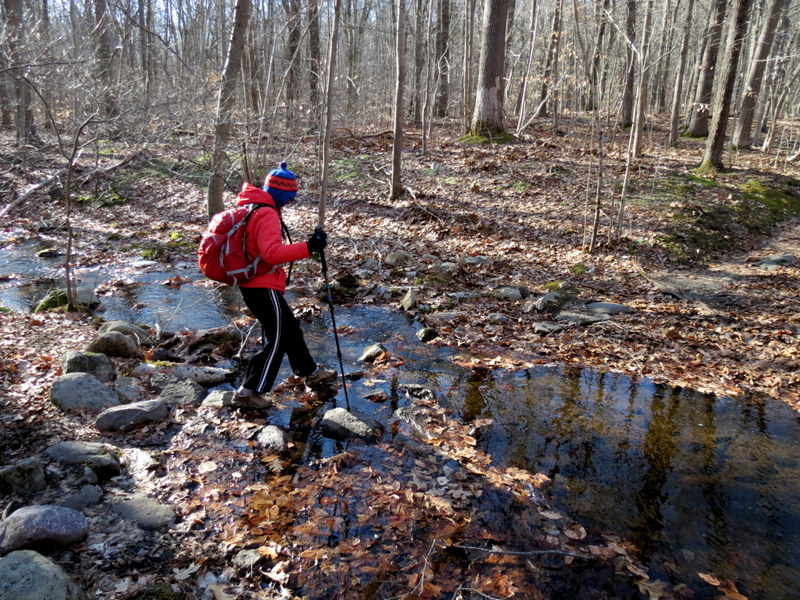
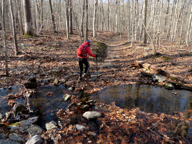
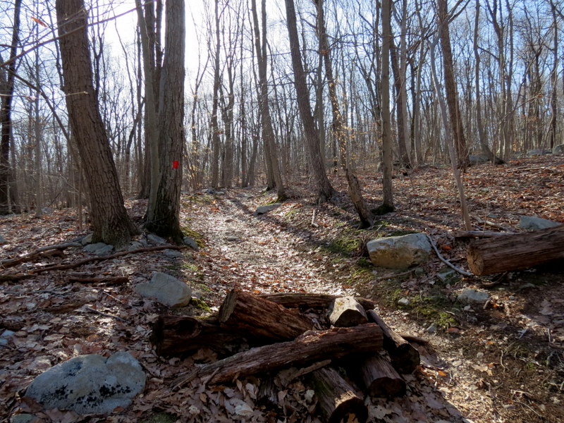
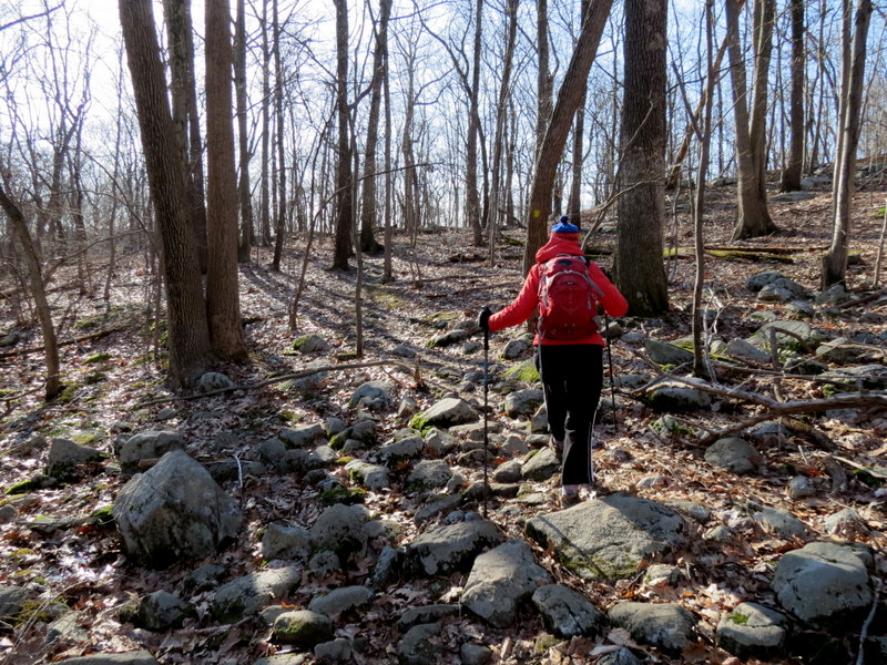
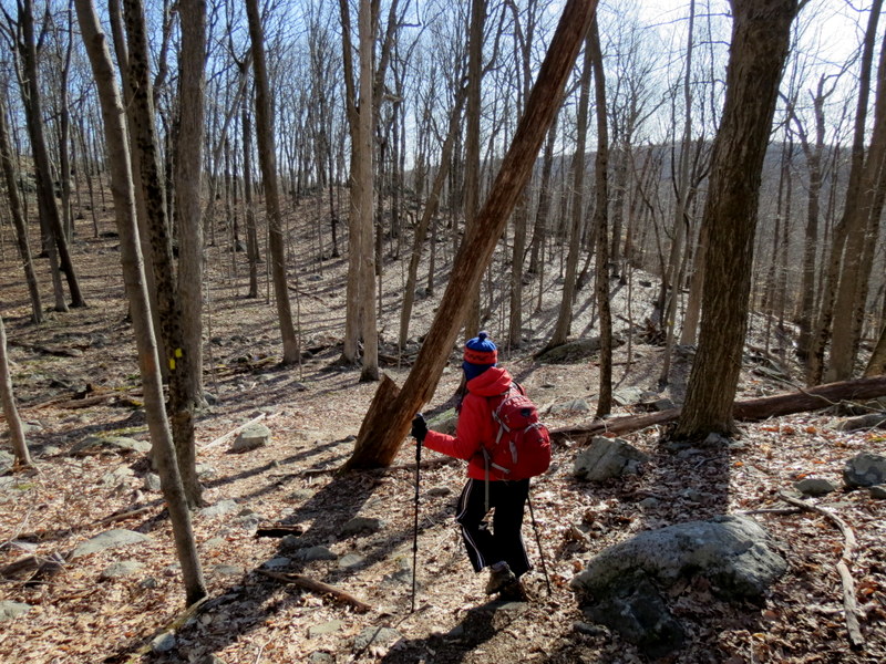
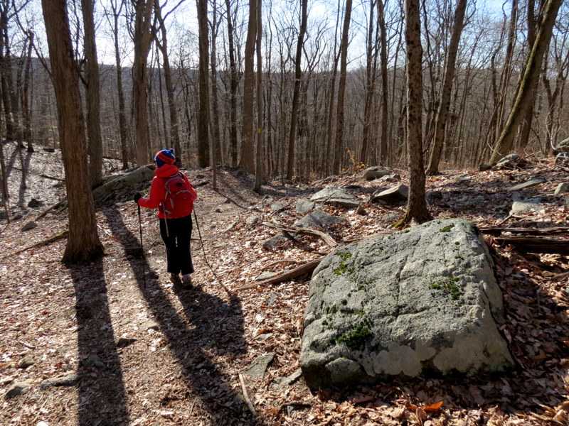
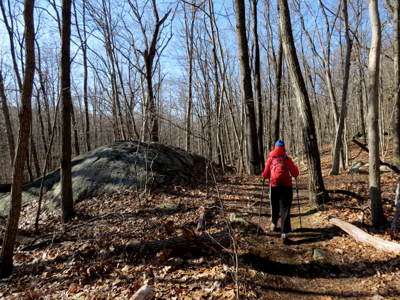
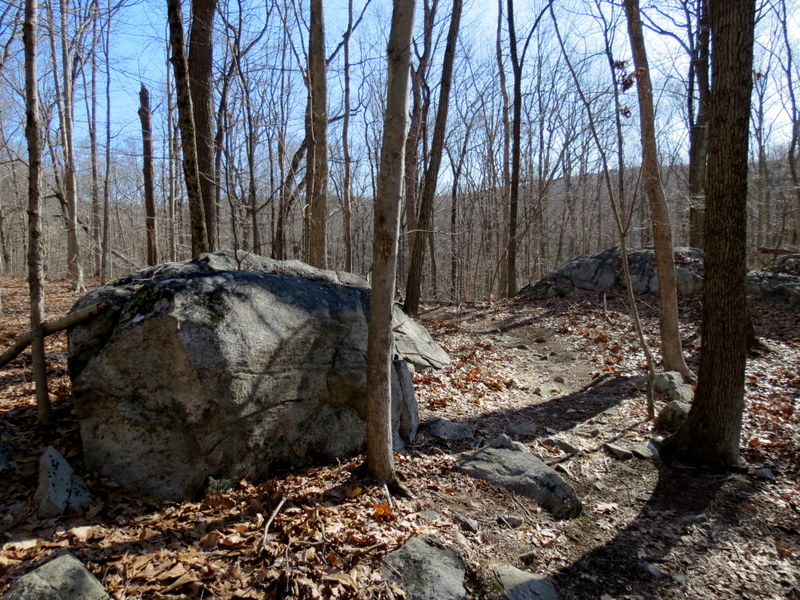
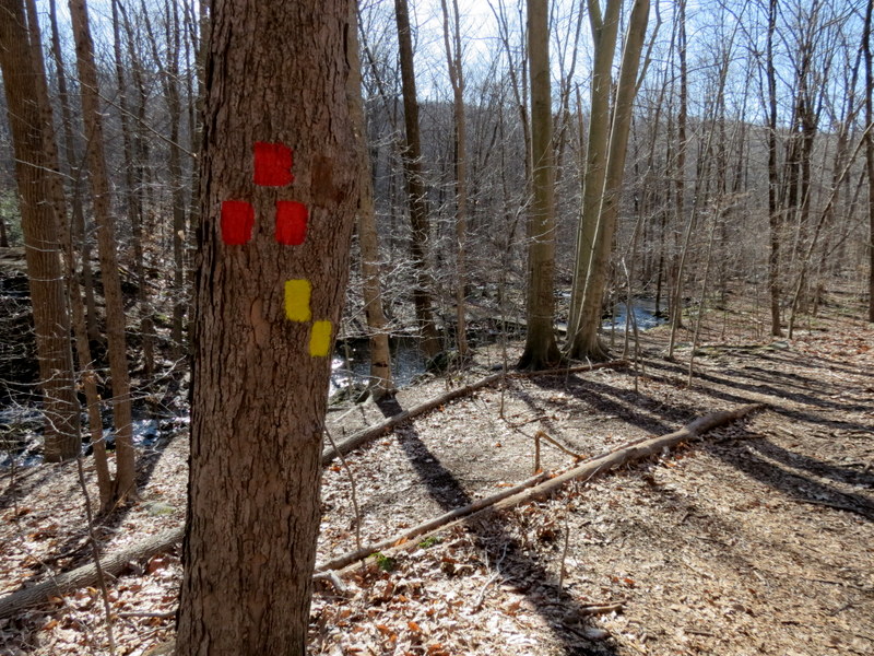
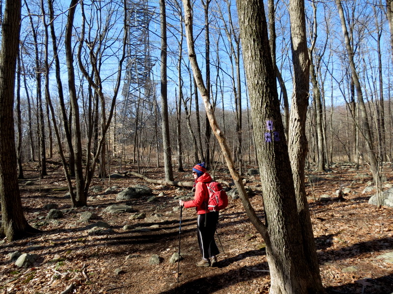
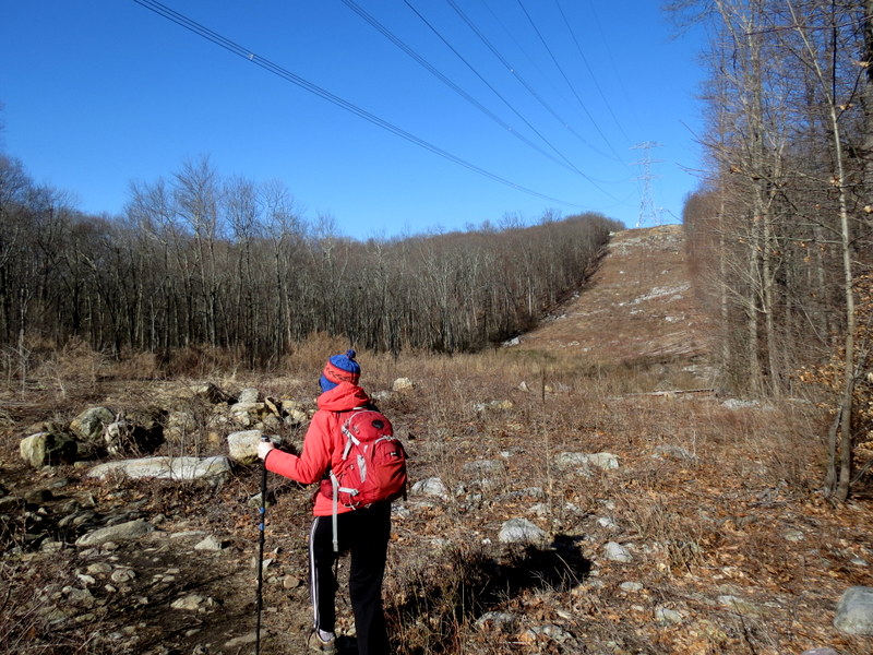
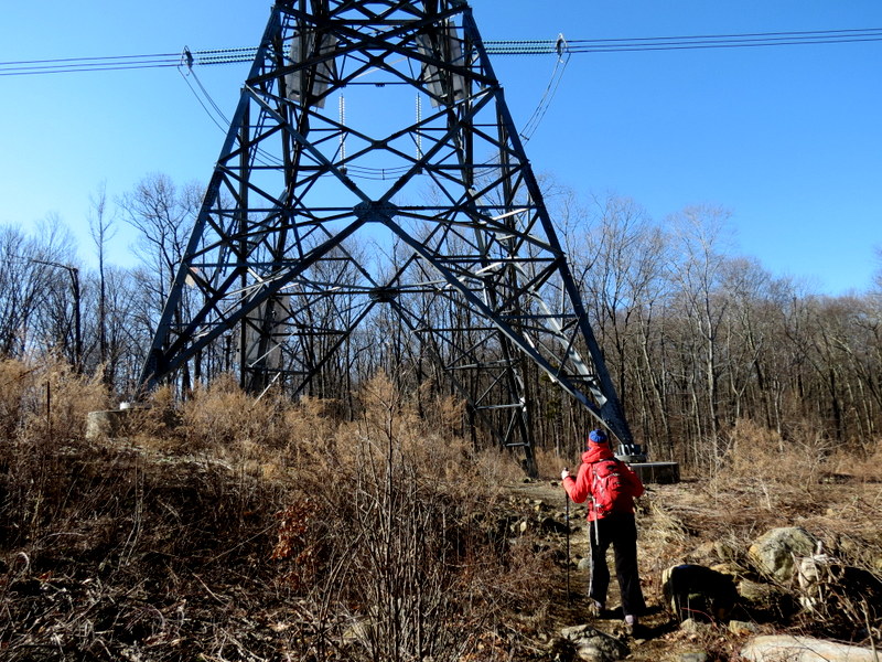
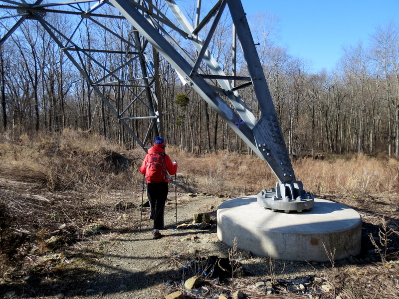
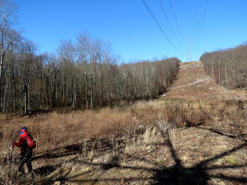
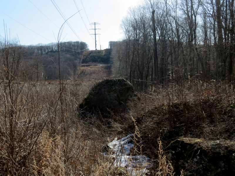
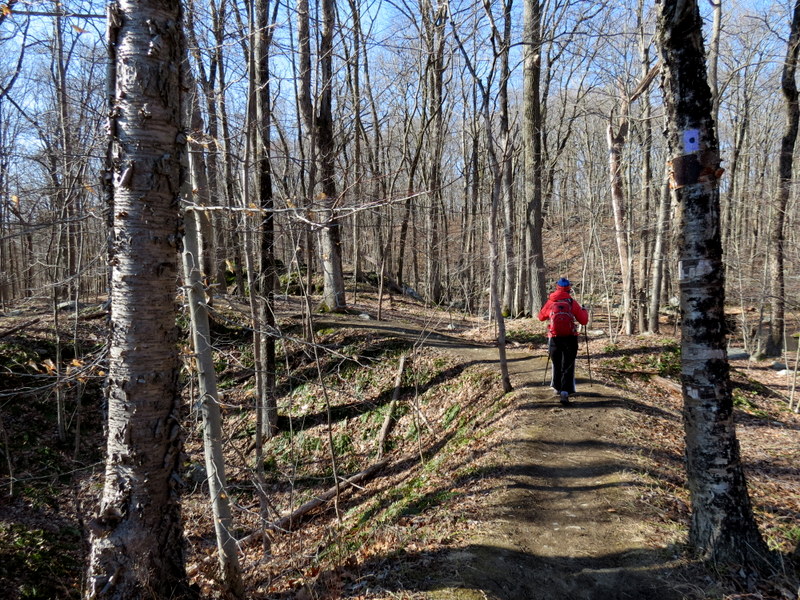
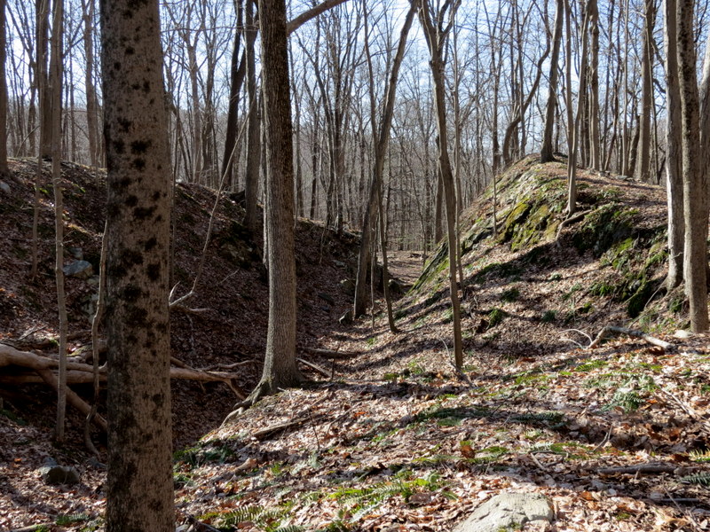
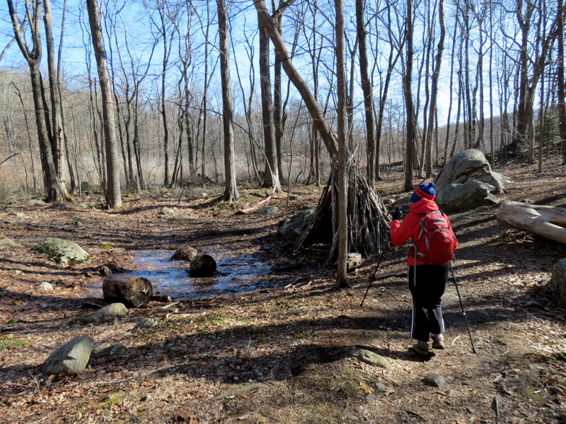
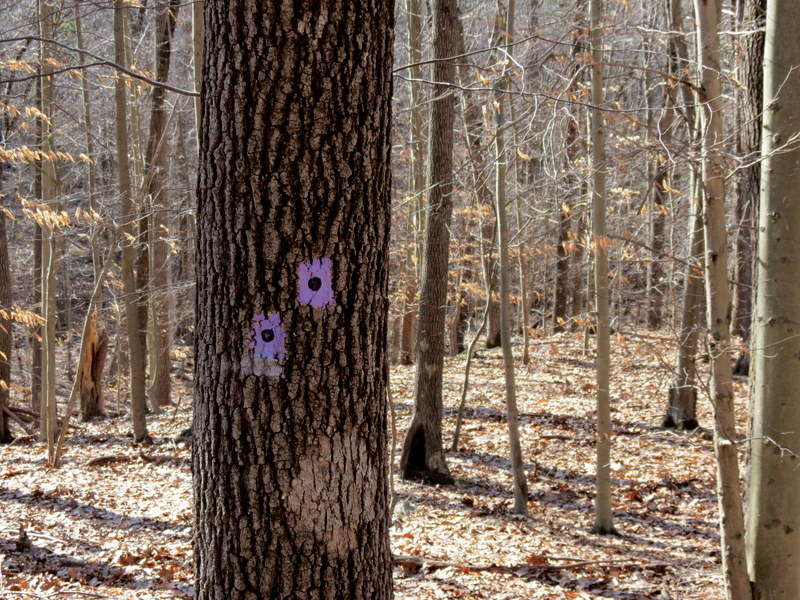
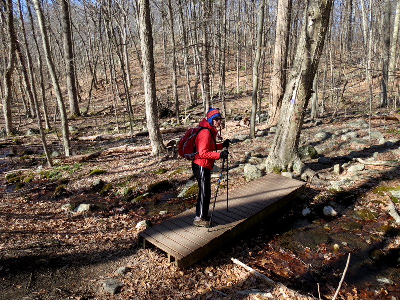
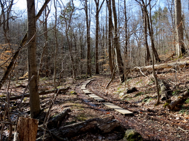
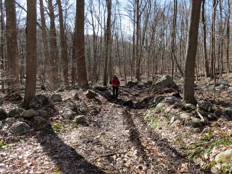
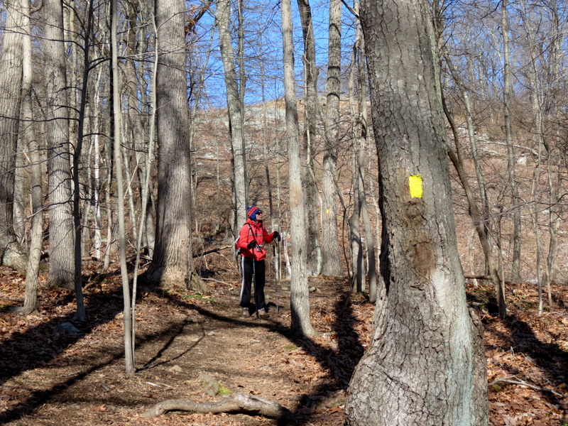
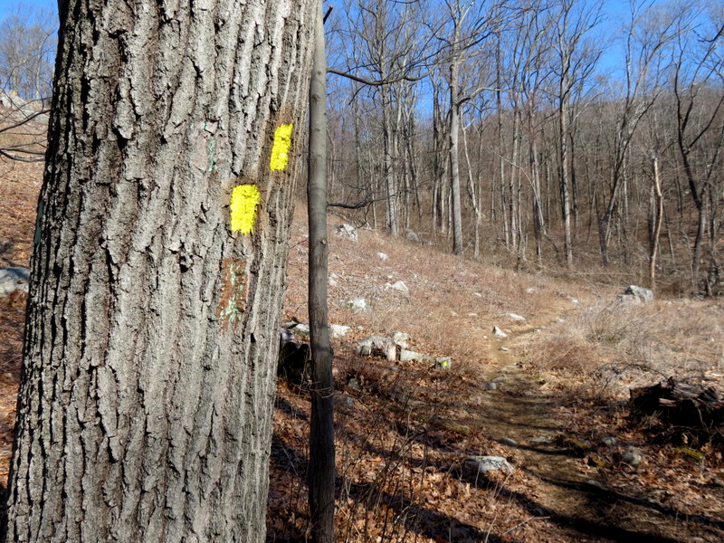
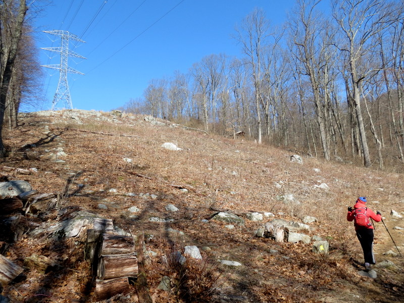
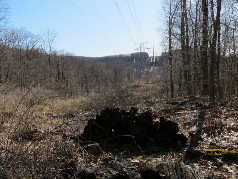
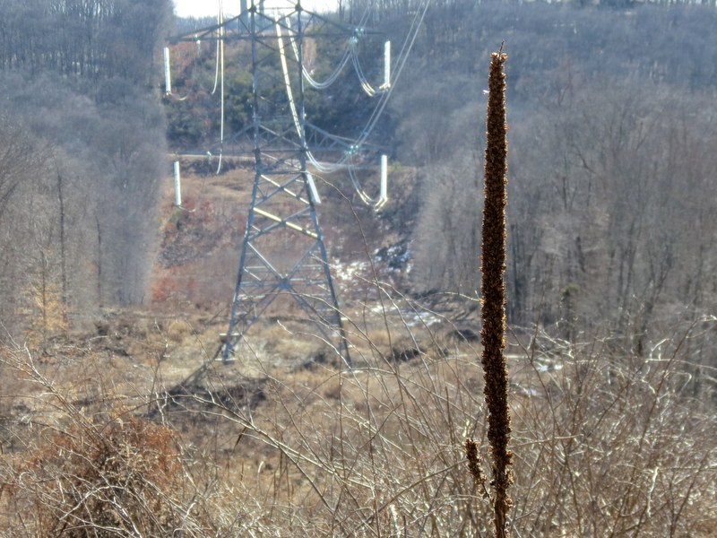
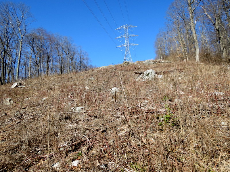
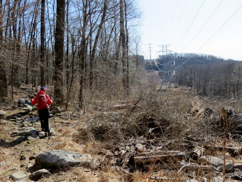
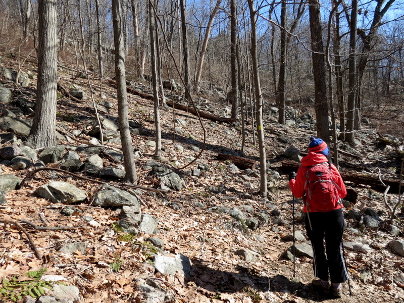
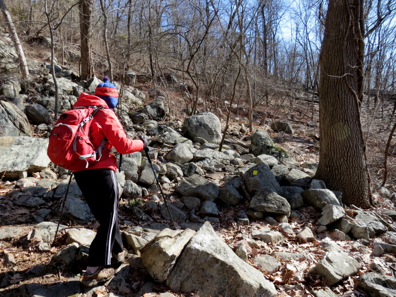
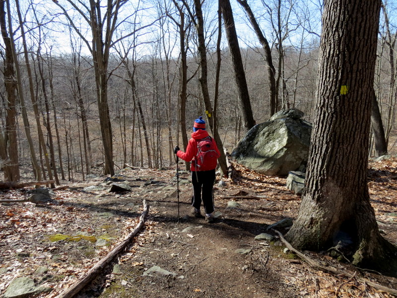
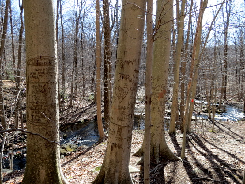
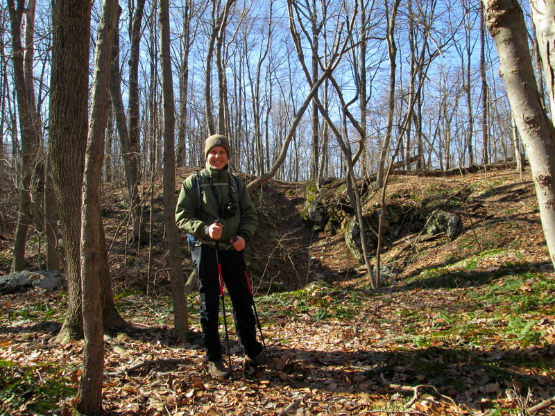
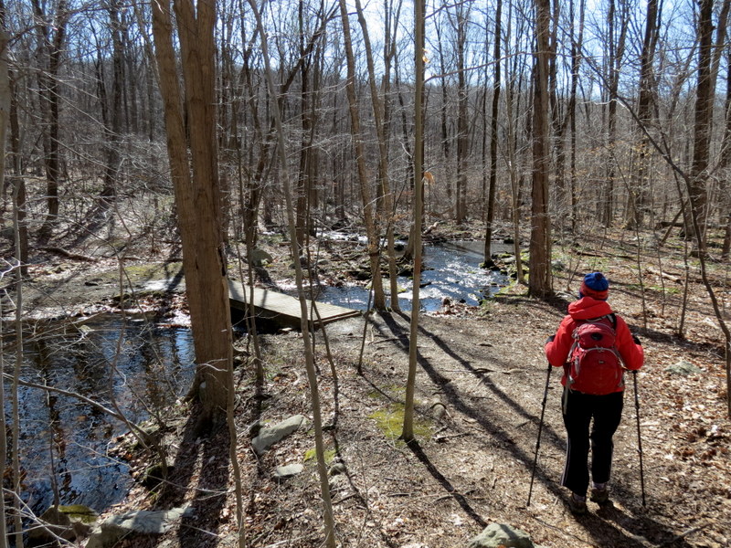
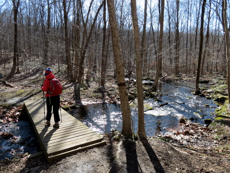
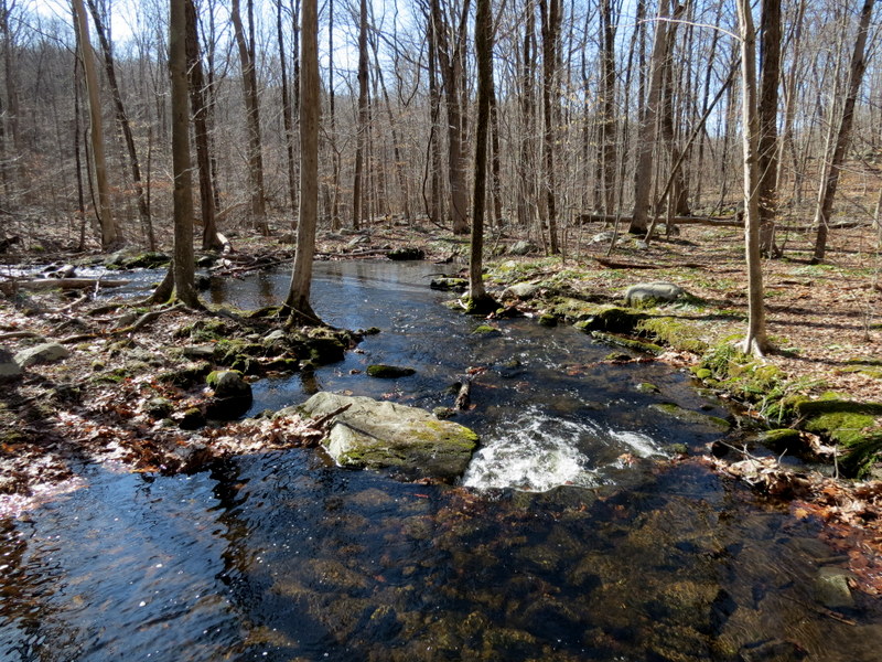
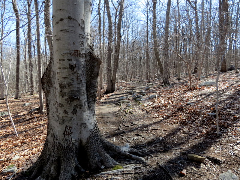
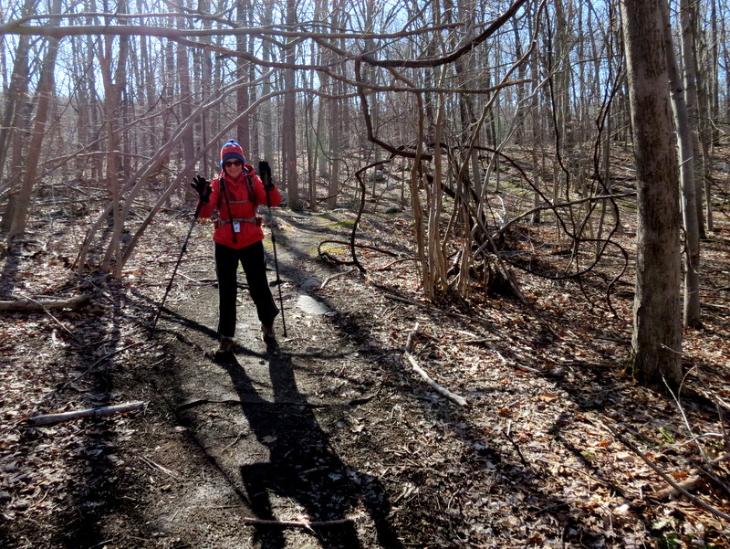
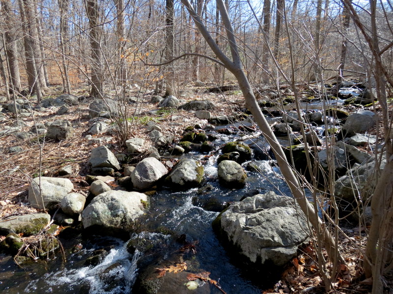
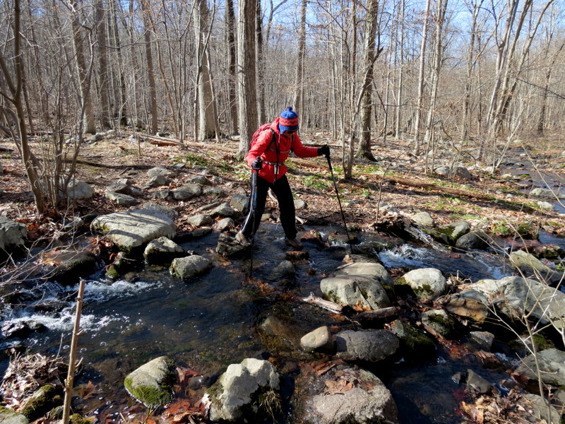
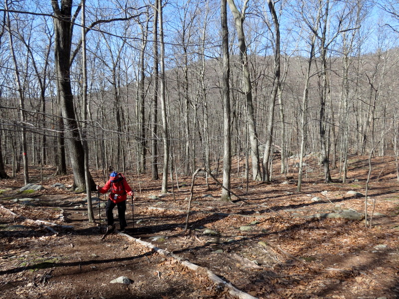
Using the brand new map, we parking in the pull-off, crossed the street and entered the woods on an unblazed path heading west. When we reached Red, we made a right and headed north, crossing the brook on the road and then continuing in the counter-clockwise direction on Red. When we reached the fork where both prongs were Yellow, we took the left prong all the way back to Red, then turned right and continued on Yellow, next heading south on the Purple Dot trail, through the powerline cut and continuing south. After two bridges we made a sharp right on Yellow and took that north, passing through the powerline cut a bit further west. We continued on Yellow heading east, then on Red heading east, before turning north and then hiking back to the car. Total distance hiked today was 3.4 miles in 2 hours and 10 minutes. (Click on the thumbnail to bring up a bigger image in a pop-up window)
|
 |
 |
 |
 |
 |
 |
 |
 |
 |
 |
 |
 |
 |
 |
 |
 |
 |
 |
 |
 |
 |
 |
 |
 |
 |
 |
 |
 |
 |
 |
 |
 |
 |
 |
 |
 |
 |
 |
 |
 |
 |
 |
 |
 |
 |
 |
 |
 |
 |
 |
 |
 |
 |
 |
 |
 |
 |
 |
 |
 |
 |
 |
 |
 |
 |
 |
 |
 |

|
|
Photographs and content copyright © Dan Balogh Web design by Dan Balogh |