 |
|
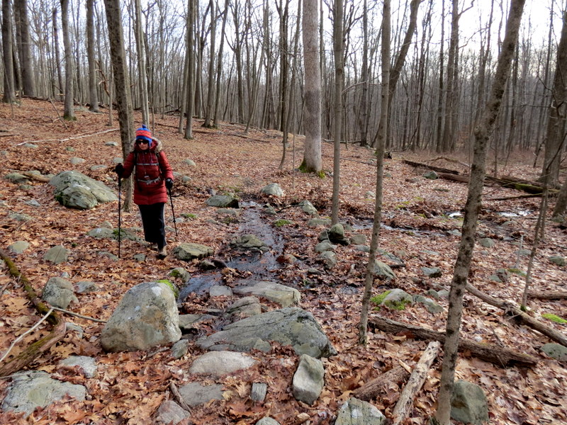
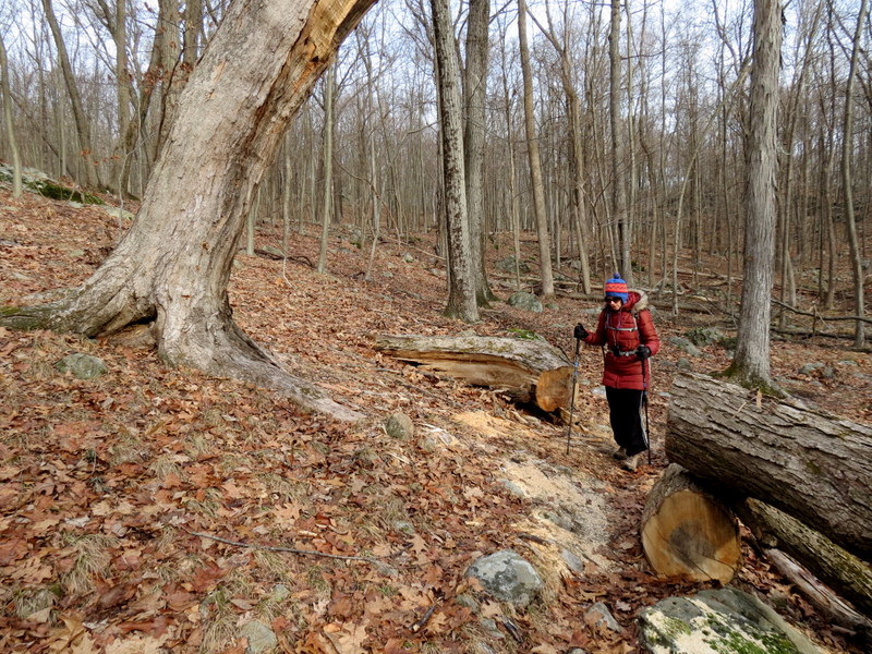
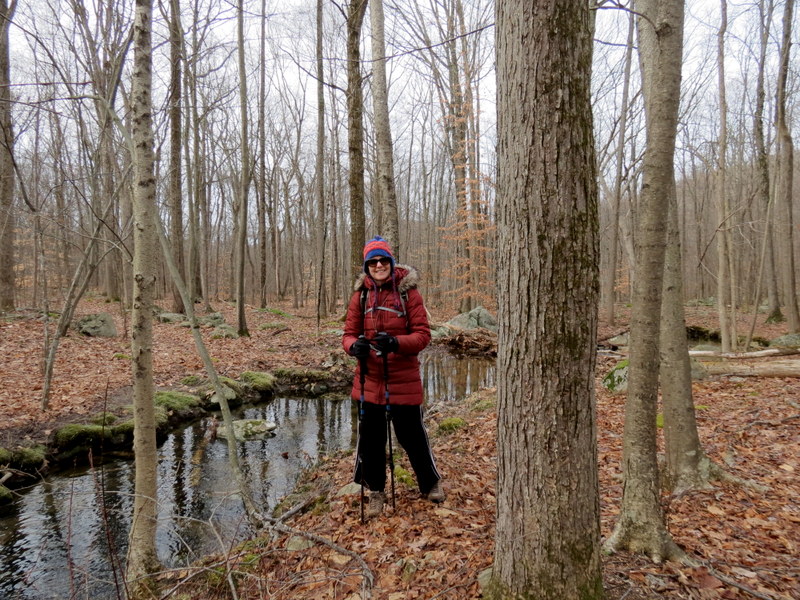
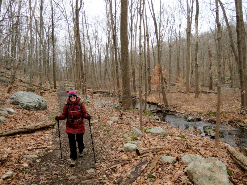
Last week we did a circuit hike following mostly unblazed trails in the southwestern section of the Wildcat Ridge Wildlife Management Area. Today, for the first hike
of 2021, we returned to attempt something similar in the northeastern section. This time it wasn't as successful, although we did manage to hike the majority on
unblazed trails, none of which we had hiked previously.
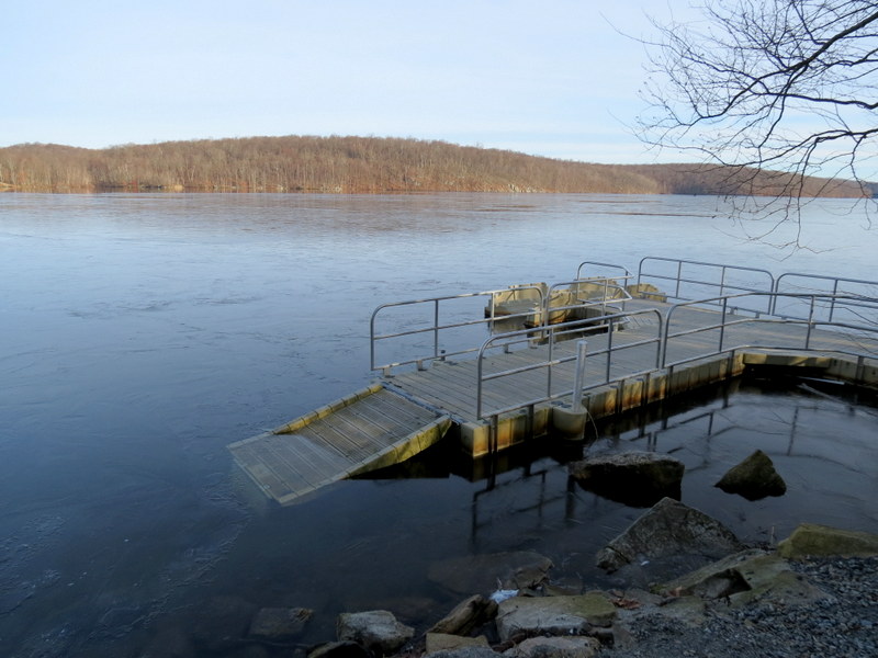
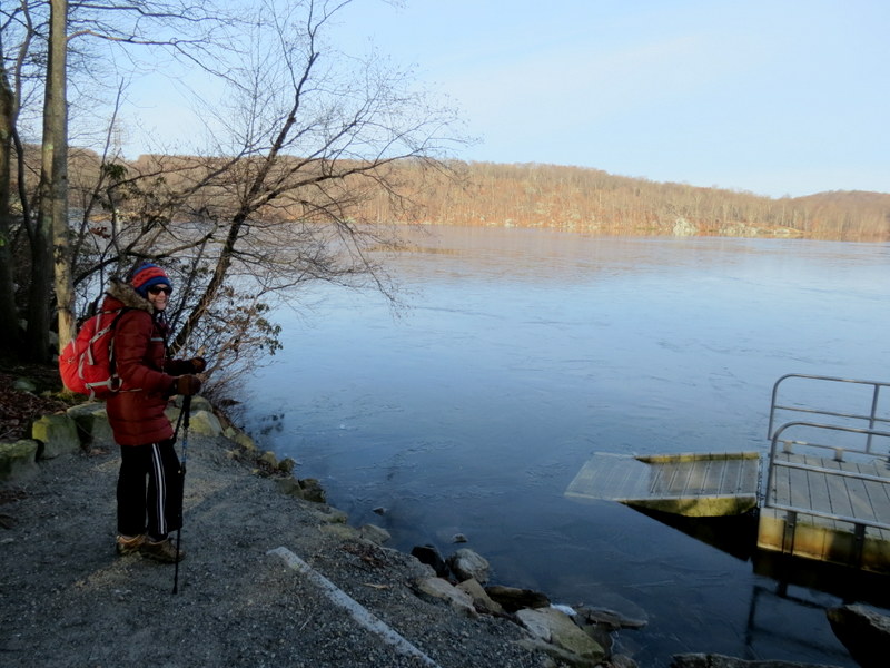
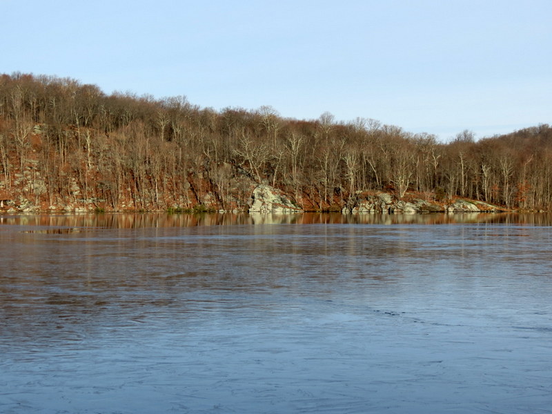
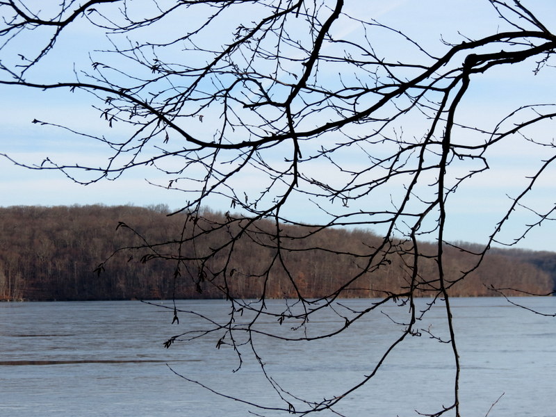
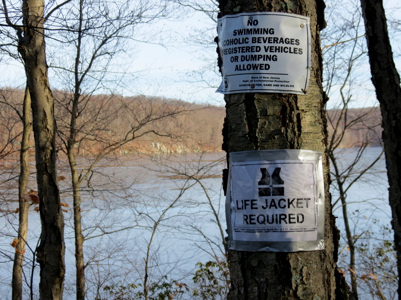
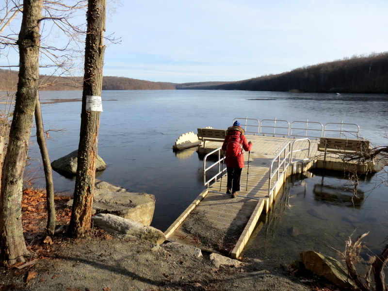
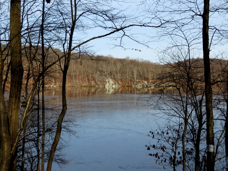
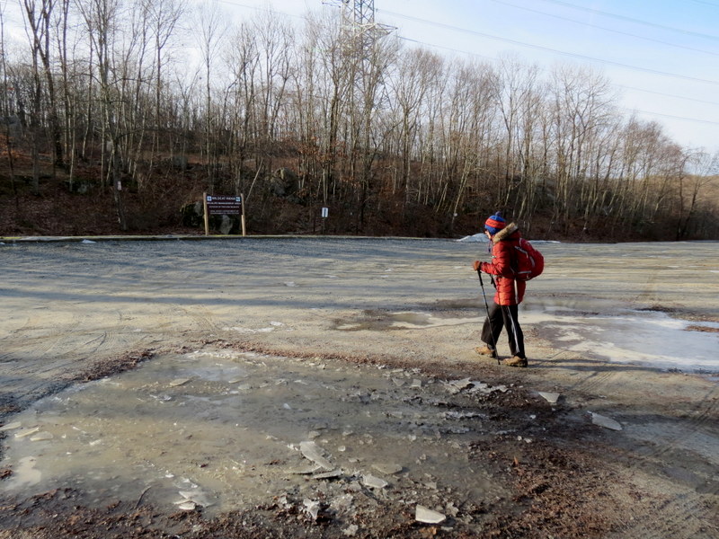
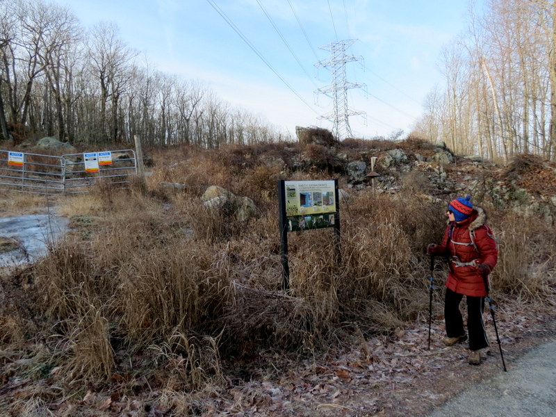
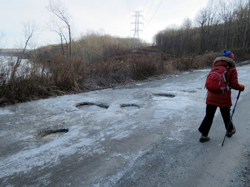
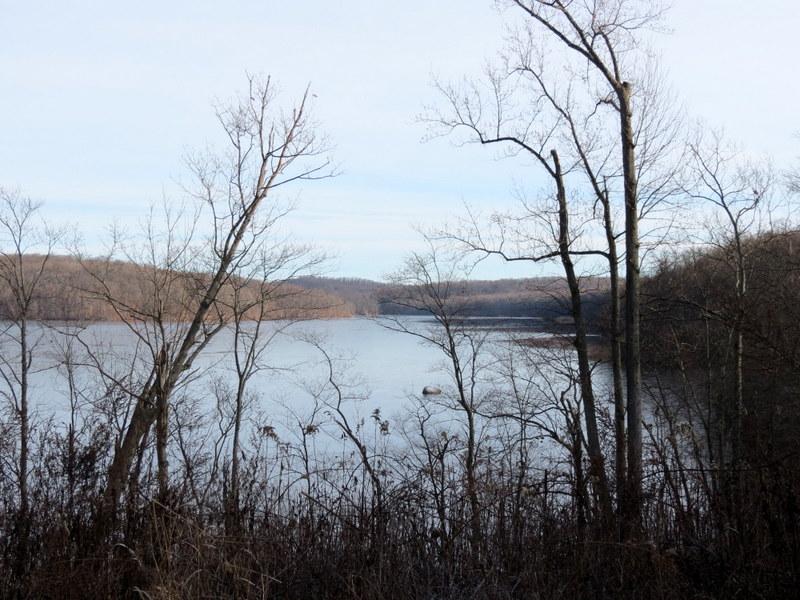
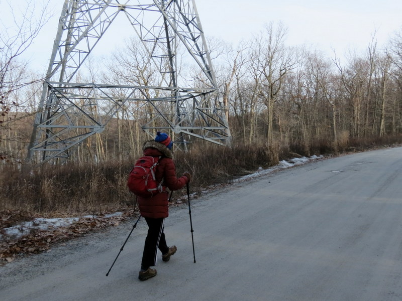
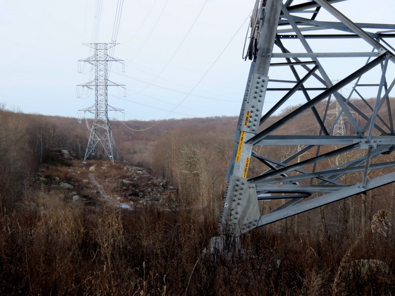
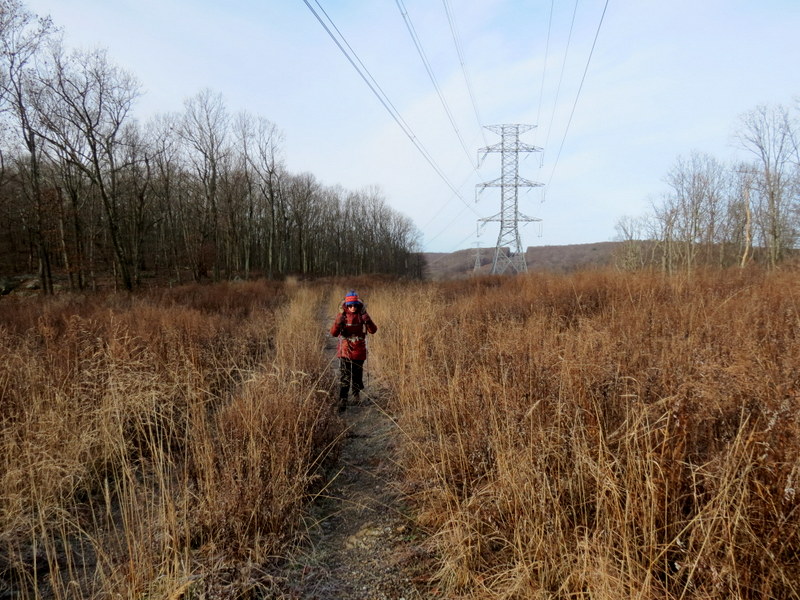
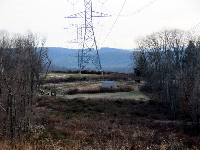
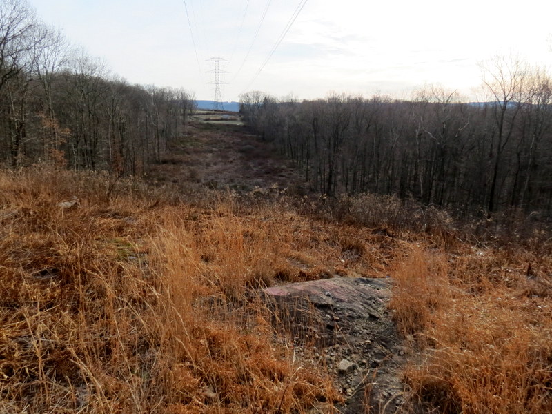
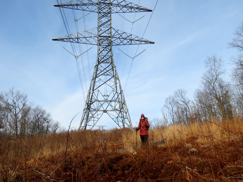
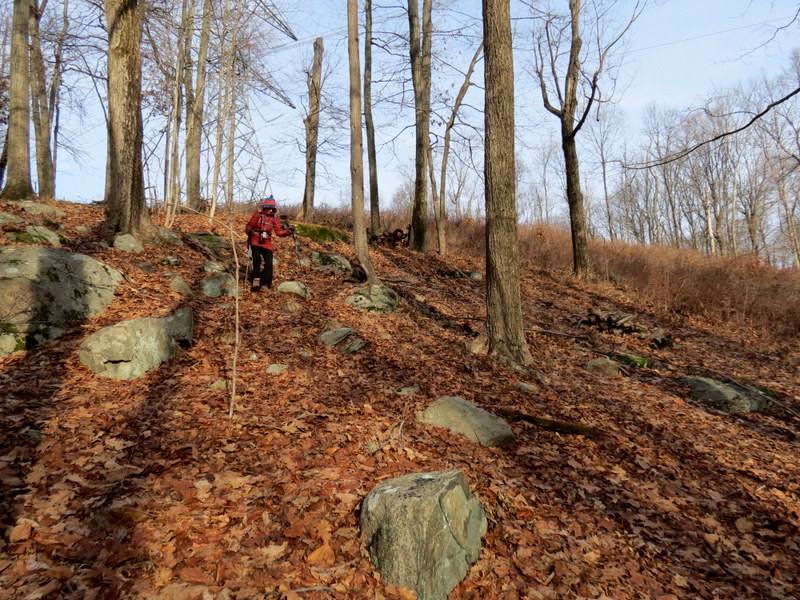
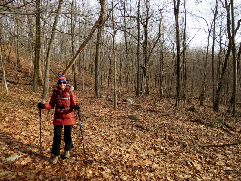
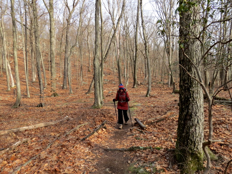
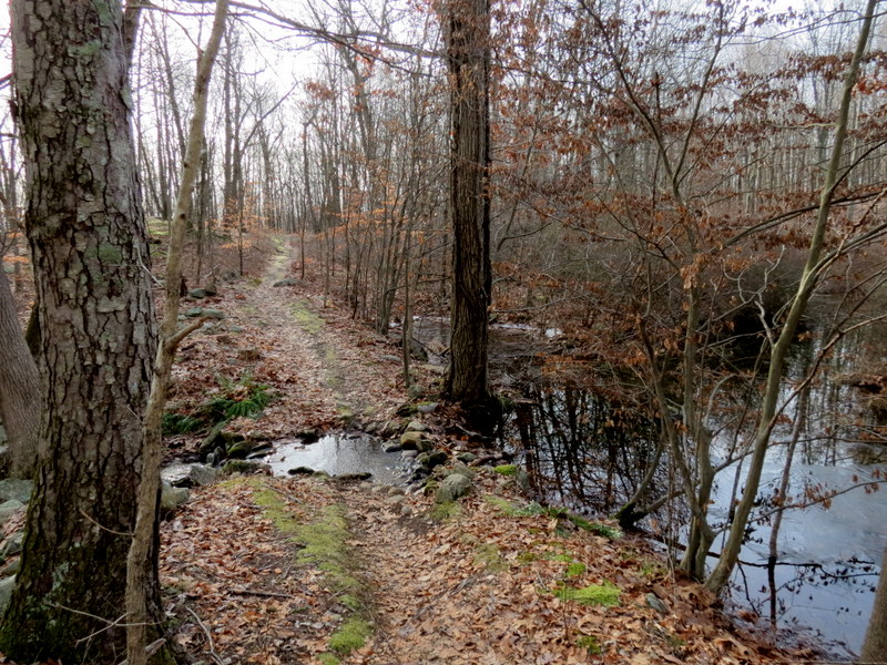
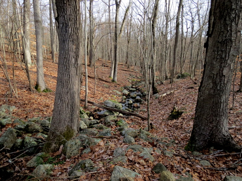
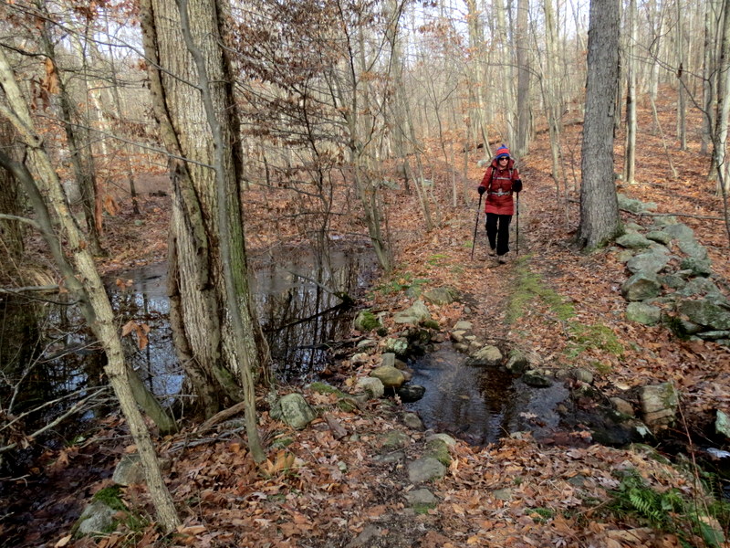
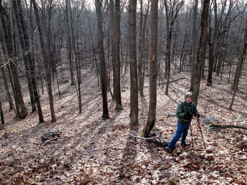
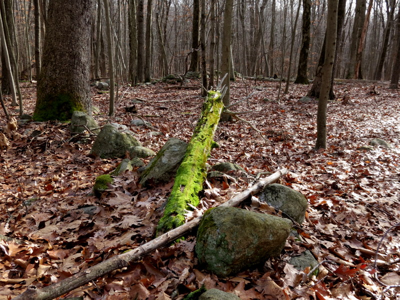
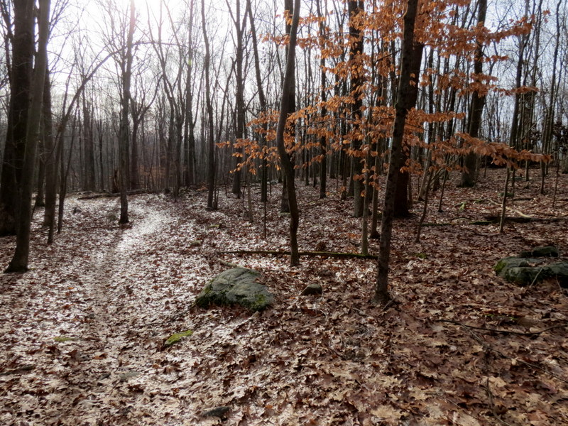
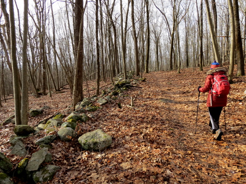
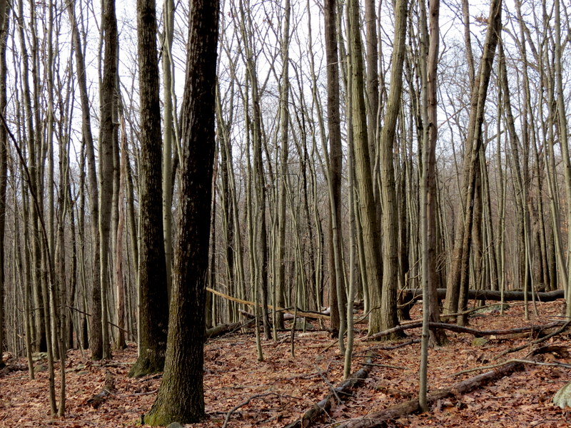
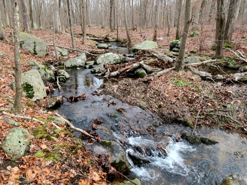
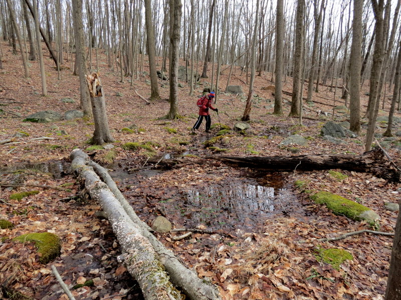
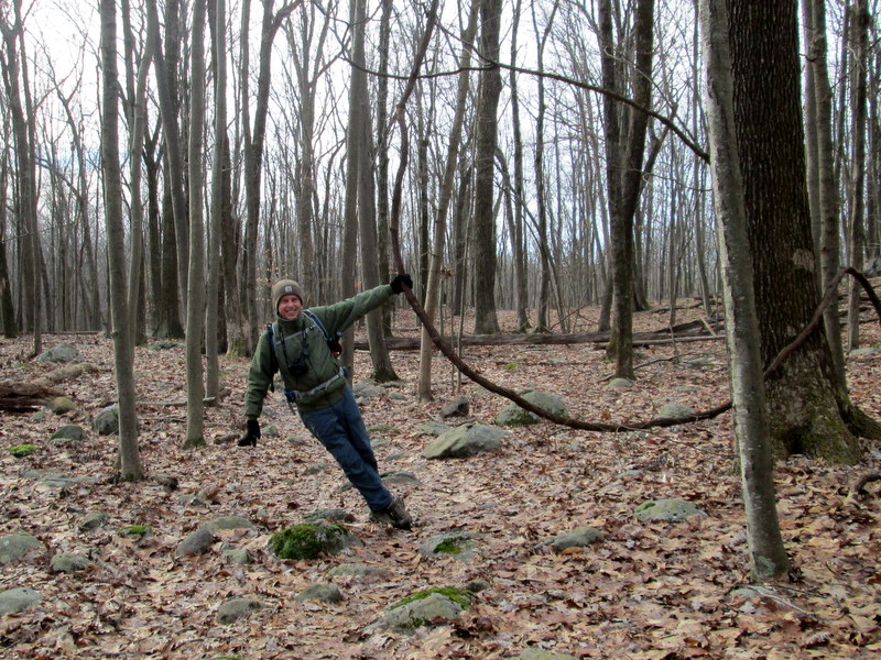
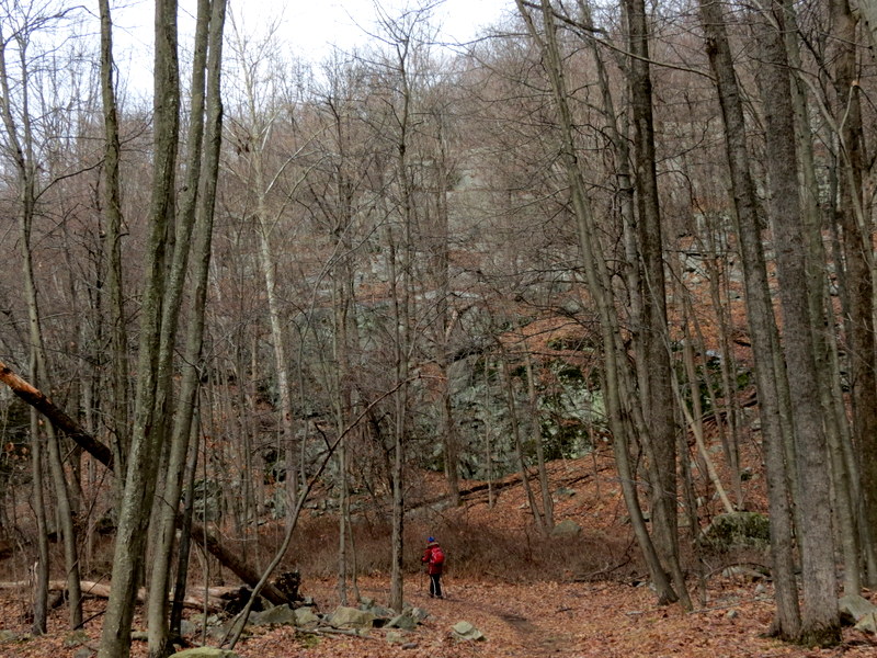
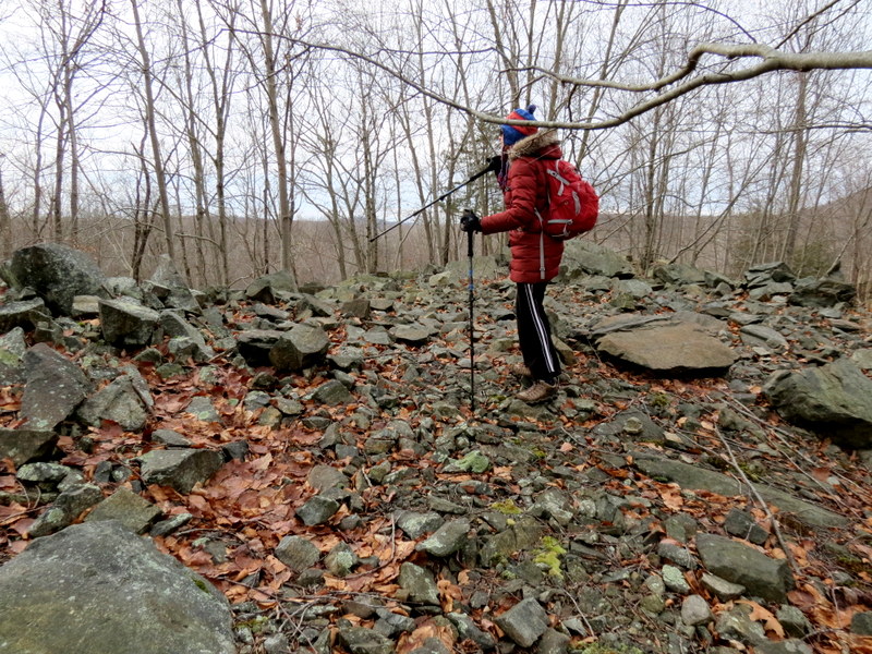
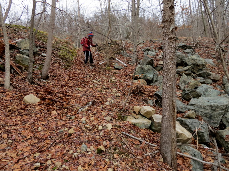
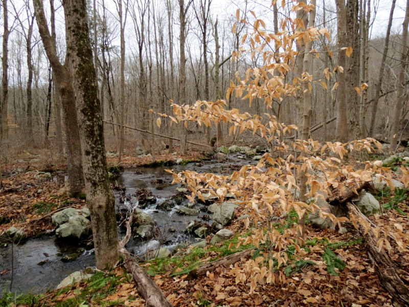
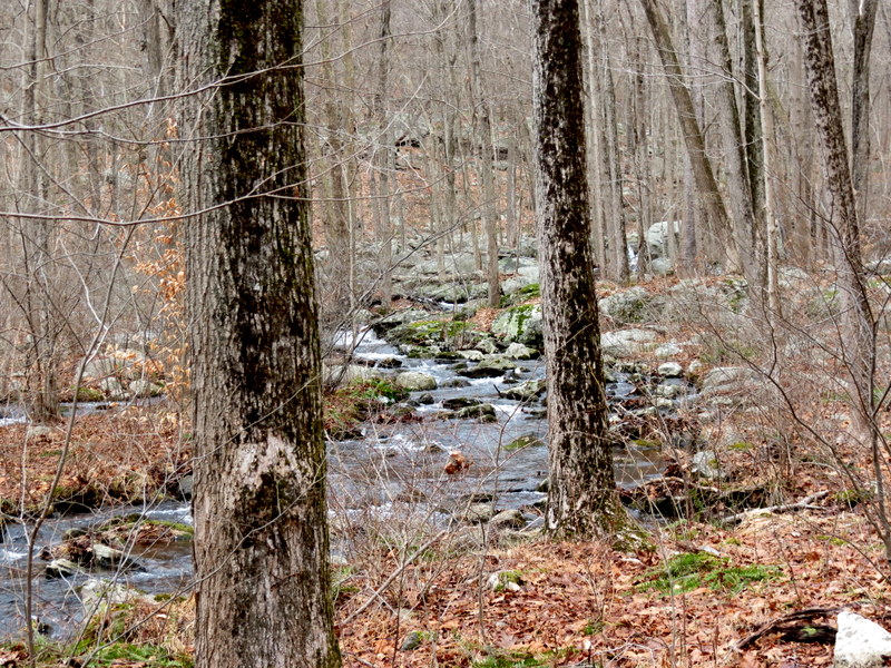
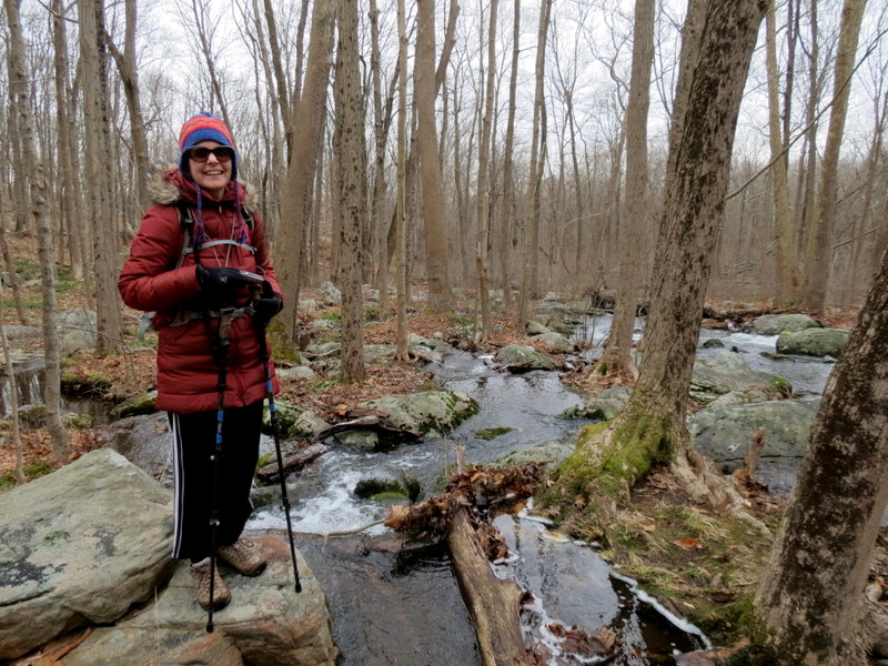
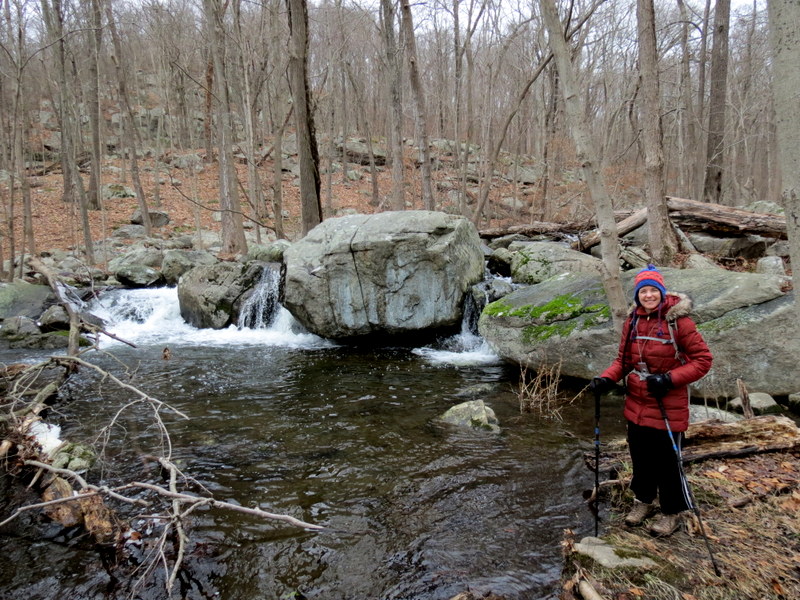
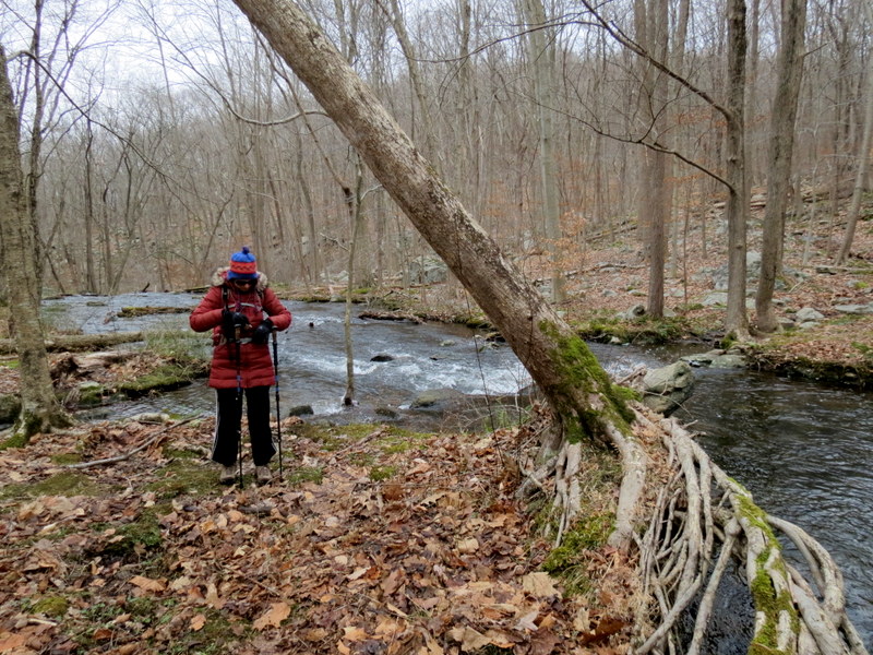
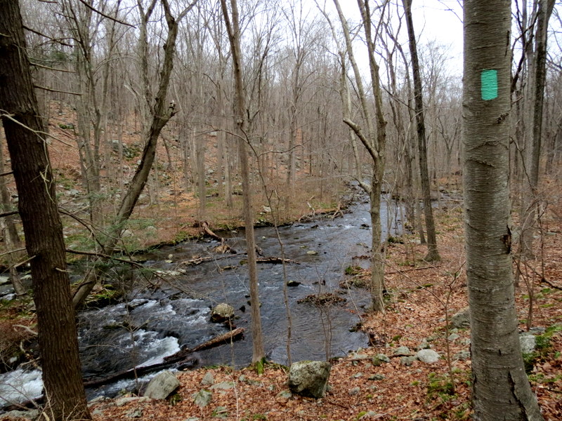
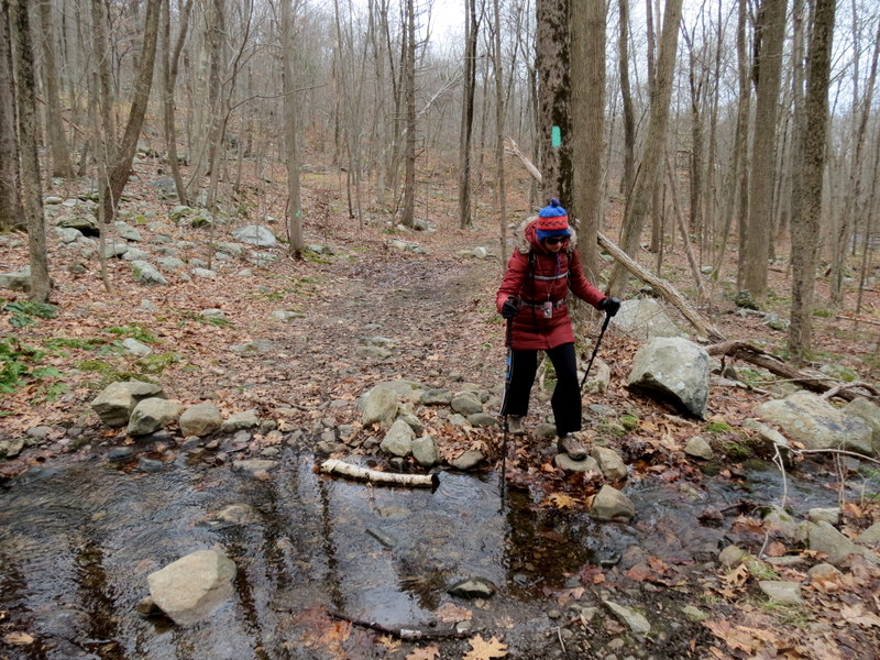
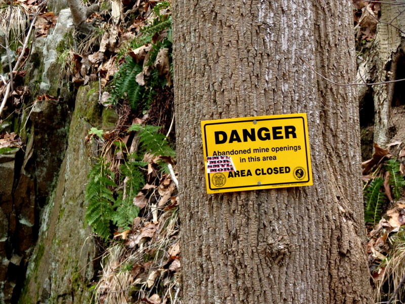
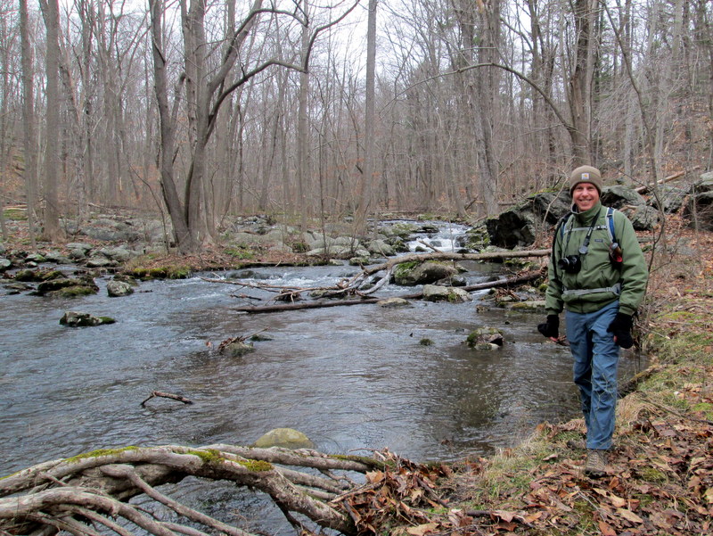
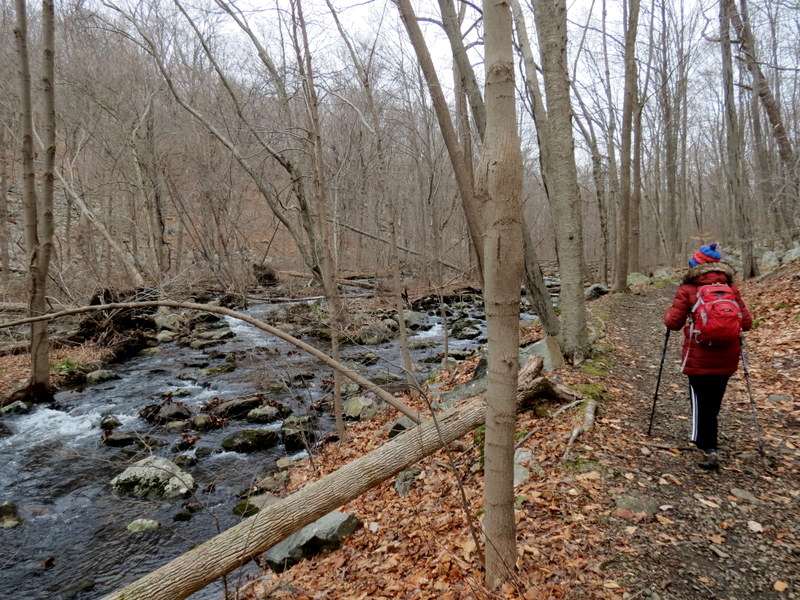
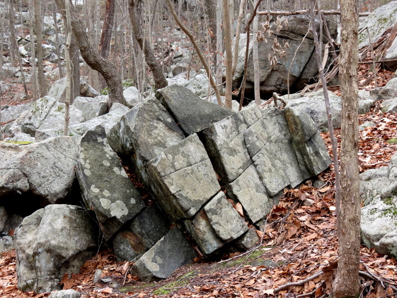
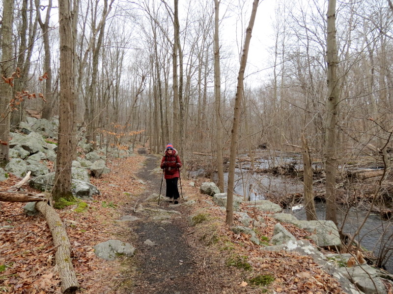
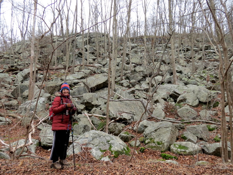
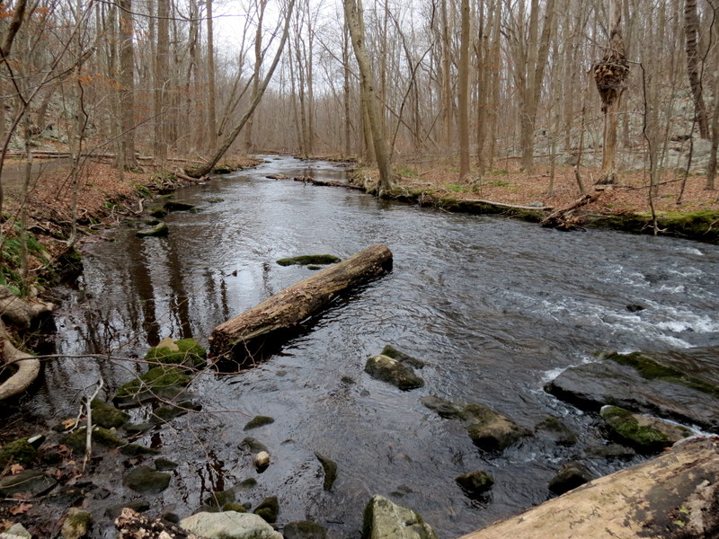
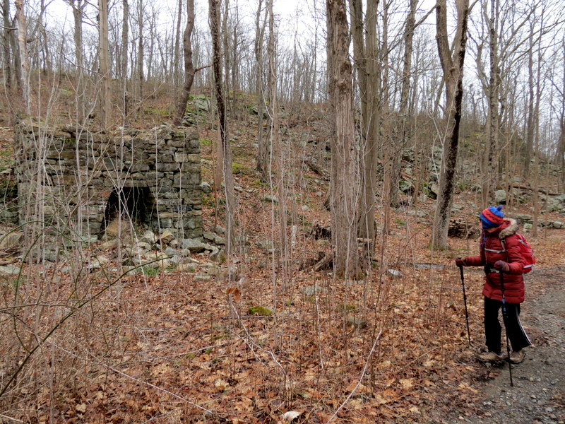
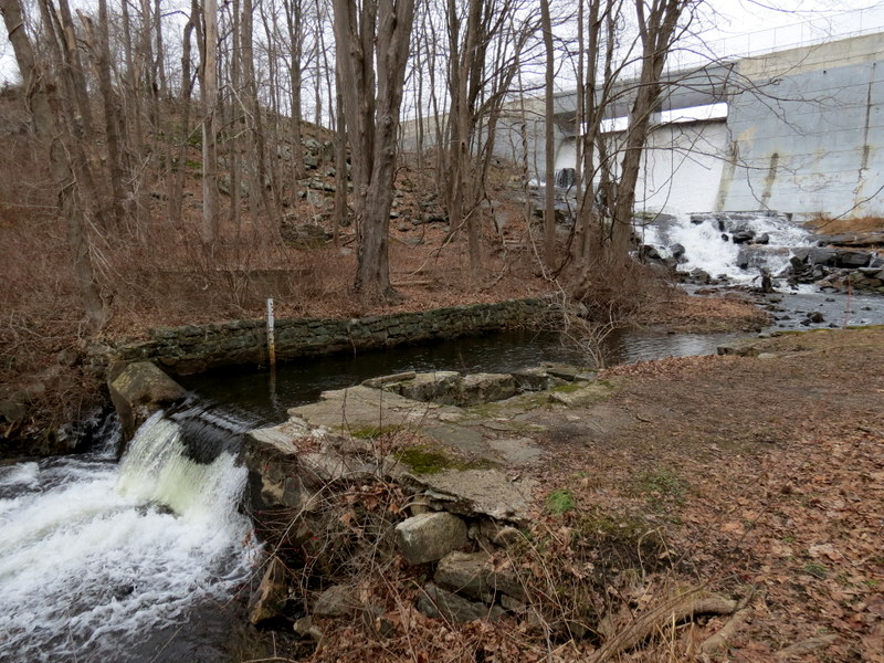
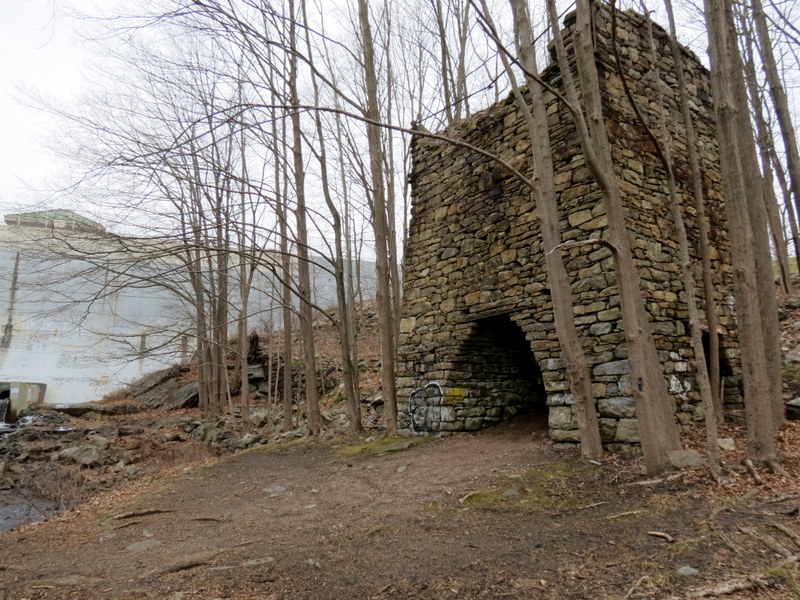
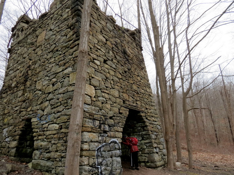
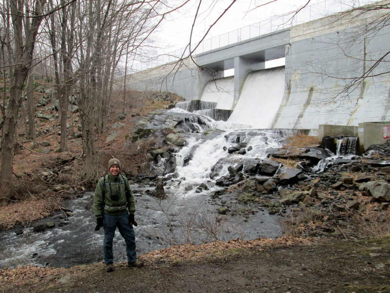
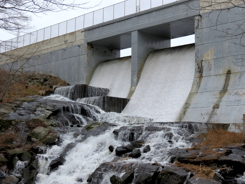
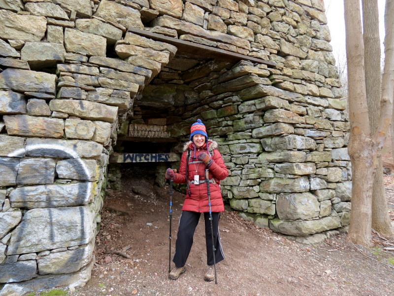
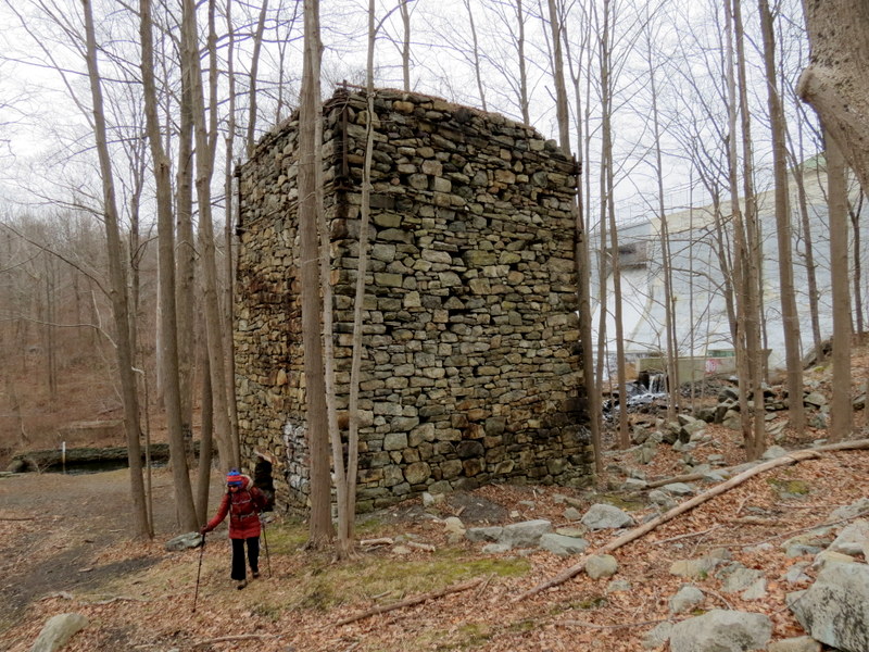
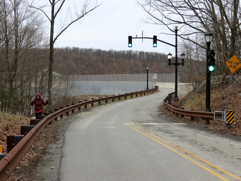
We parked in the large dirt lot on Split Rock Road, at the southern tip of Split Rock Reservoir. We were the only car there just before 9 AM. Our intent was to follow the unblazed trail at the southern tip of the reservoir, crossing Split Rock Road (where the blue-blazed Splitrock Loop trail crosses) and continue in the power line cut along the unblazed trail. But after reaching the second floating pier, we couldn't find the trail. So back to the road we headed and walked east along the road until we reached the powerline cut. We took this east, then south (bushwhacking a bit, because once again we lost the trail) until we finally arrived at a beautifully manicured trail (JORBA?) intersection. Going right would have led us back to the northern end of the green trail. We went left, heading south, then west. The trail here is beautiful and easy to follow. We then headed south for a short out-and-back to visit the brook. Heading back north we next headed west on another unblazed trail, passing many piles of large mine tailings along the way. Eventually we ended up on the green-blazed Righter Mine trail. After traveling a bit north on this trail, we wanted to cross the brook and continue on a few other unblazed trails on the western side of the brook. But it was very difficult to cross, so we abandoned this idea. We continued on green all the way north, leaving green to continue on the trail north all the way to the Split Rock Furnace at the foot of the dam. We then climbed the path to the road and walked back the very short stretch to the car. There were a half dozen cars in the lot by then (just before noon). Like last week, our path is a bit difficult to describe here, so here is a fragment of the NYNJTC Map #125 showing our path highlighted in yellow. Total distance hiked today was 3.8 miles in about 2 hours and 40 minutes.
(Click on the thumbnail to bring up a bigger image in a pop-up window)
|
 |
 |
 |
 |
 |
 |
 |
 |
 |
 |
 |
 |
 |
 |
 |
 |
 |
 |
 |
 |
 |
 |
 |
 |
 |
 |
 |
 |
 |
 |
 |
 |
 |
 |
 |
 |
 |
 |
 |
 |
 |
 |
 |
 |
 |
 |
 |
 |
 |
 |
 |
 |
 |
 |
 |
 |
 |
 |
 |
 |
 |
 |
 |
 |

|
|
Photographs and content copyright © Dan Balogh Web design by Dan Balogh |